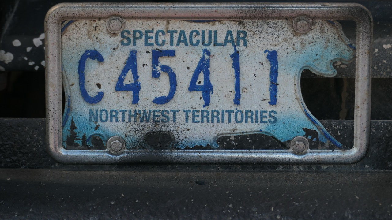
 Inuvik, Northwest Territories, Canada
In the NWT – Inuvik
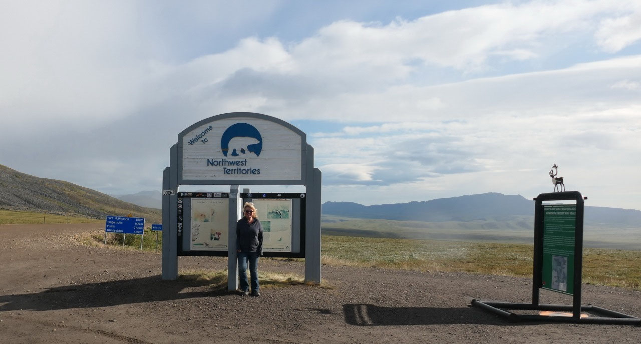
Welcome to the North-West Territories - now we arrived in the real arctic:
- This is the 2nd largest of the three territories (now we only have the largest to visit) and makes up 13% of Canada
- It got it’s name when during colonial times the British called everything north and west of the Rupert Land North-West Territories, it was in 1859 given to the Hudson Bay company
- Here the North West Mounted Police was created to enforce the law
- The Inuktitut call it Nunatsiaq “Beautiful land”
- It is Canada’s oldest territory : in 1870 Canada bought it to enter the Canadian confederation. It got then divided 4 times the current borders are from 1999 when Nunavut was created, in 1881 Manitoba got a part of it to create the straight northern border, in 1871 BC got everything south of the 60 degrees, and in 1898 Ontario got extended north and Quebec in 1898
- It has a population of 41.000 – half of it live in the capital Yellowknife: over half are indigenous people: 3 % first Nations, 10 % Inuit and 7% Metis, also half of the population is less than 33 years old
- The NWT has 11 official languages: 5 are Dene, 3 Inuit, 1 Cree as well English and French
- It was up here that they searched for the North-West Passage: Sir John Franklin disappeared here on his 3rd voyage in 1845 – they found his ship in 2014 near Nunavut
- and if you are in need of daylight - you are in the right spot: the sun doesn't set in Inuvik from May 24 - July 18 and in Tuk from May 19 - July 24
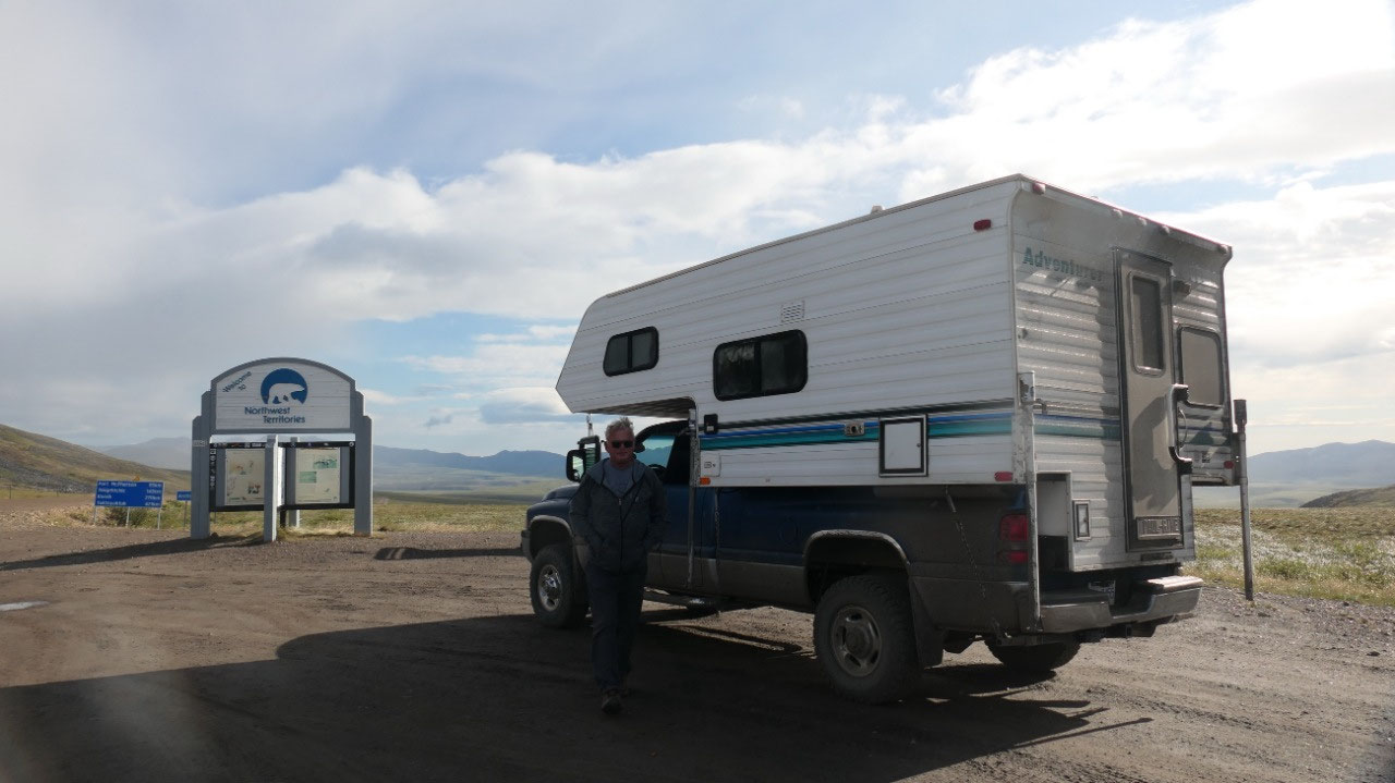
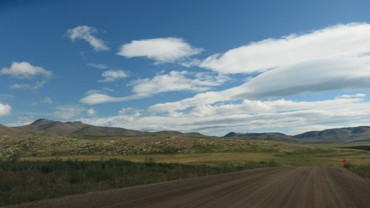
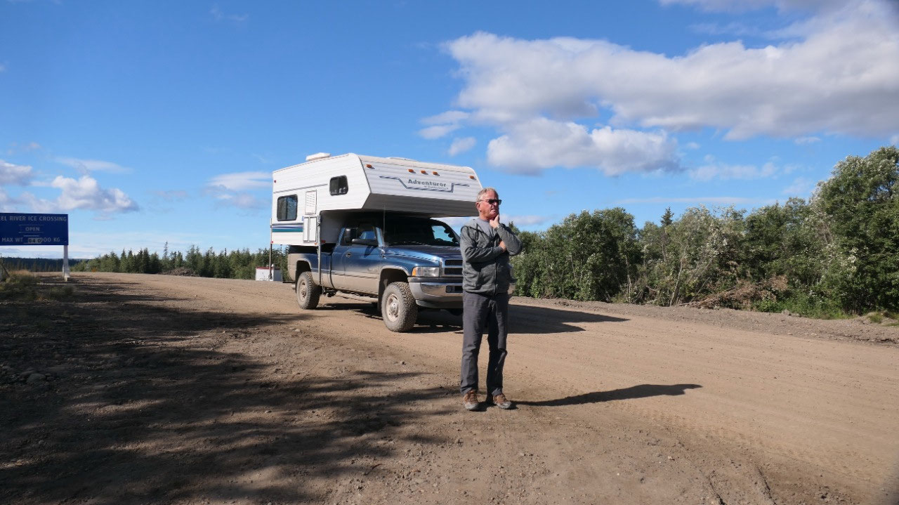
Breakfast at the windy border
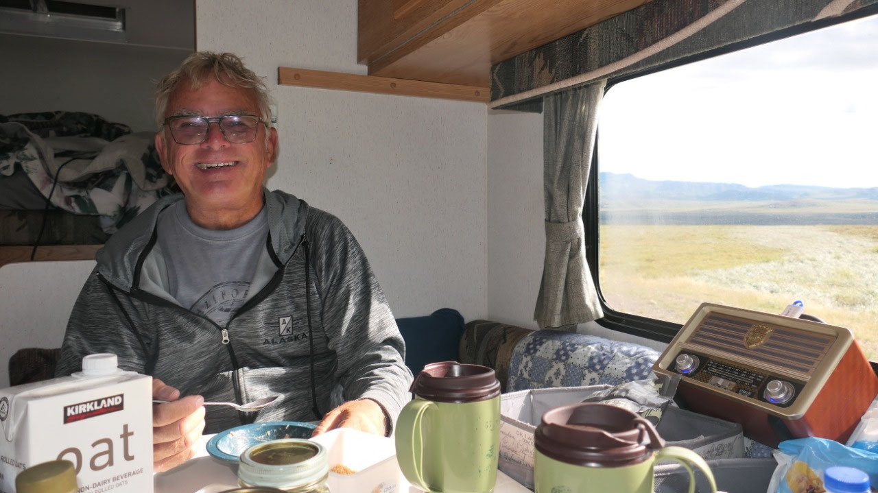
After a coffee we decided to head out
and have breakfast at the border to the NWT: ok we are lucky that the sun is
shining (after we had some early morning rain – yes that is why we are not
getting up early). But it is windy – super windy. We head out for the pictures
and enjoy a nice warm breakfast inside. And then Gine met 2 motorcycle guys who
are from Bowser & Nanaimo – ha we met up here in the Arctic.
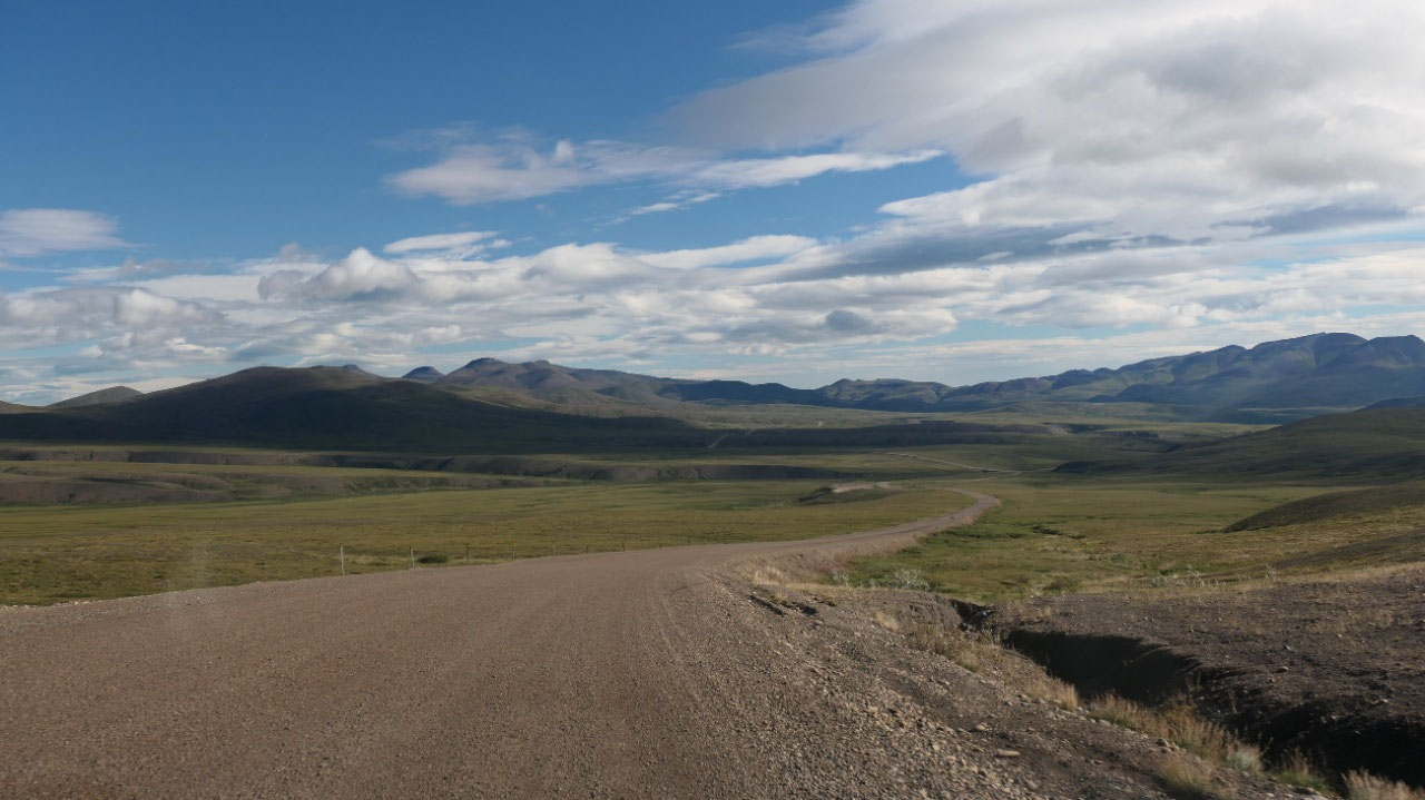
- From here on it will only go downhill towards the Arctic Ocean
- And the highway distance marker start again with 0 and are in blue
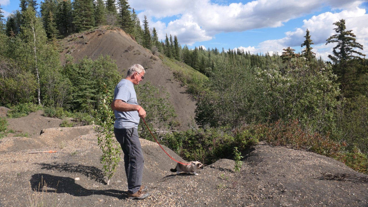
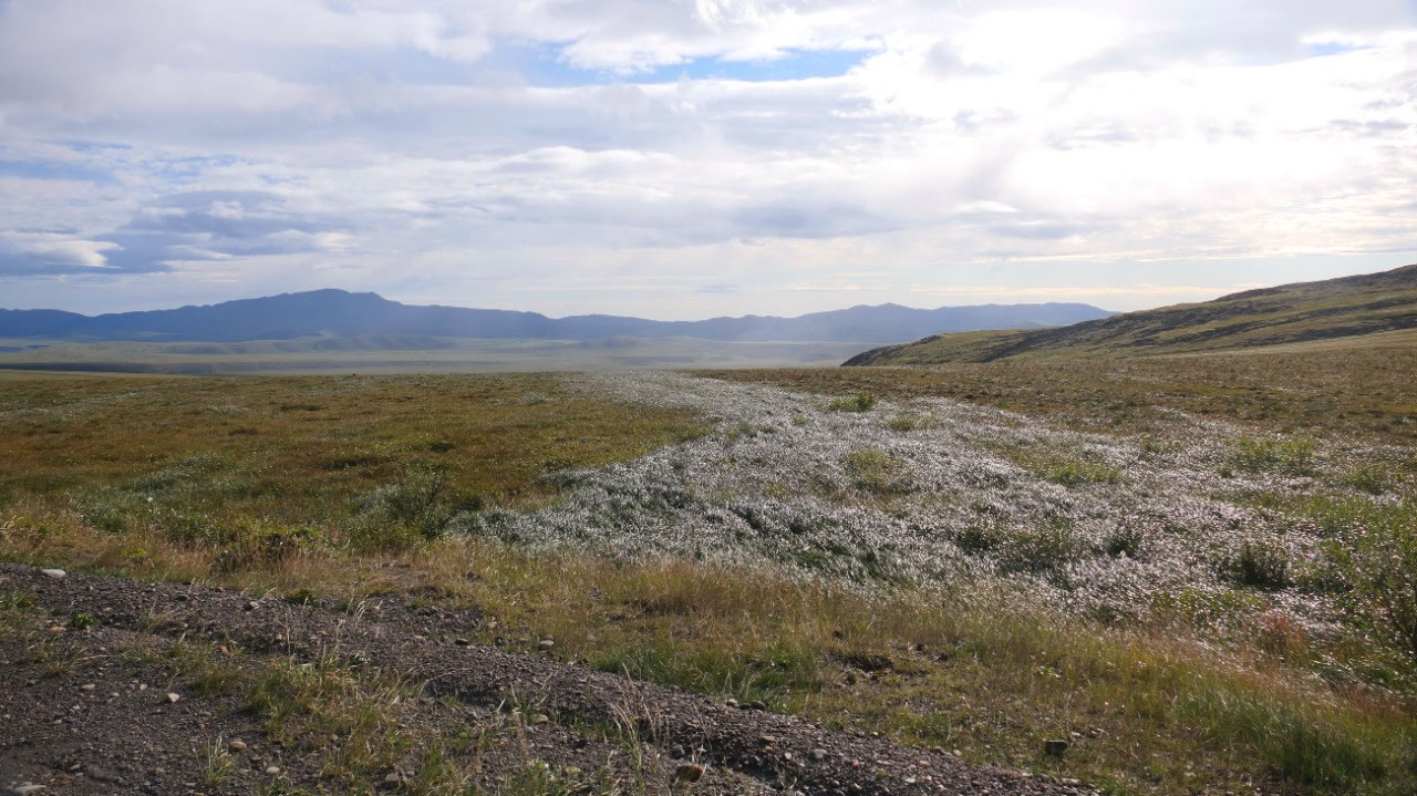
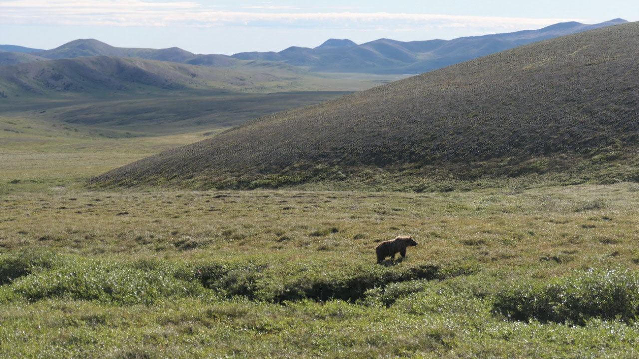
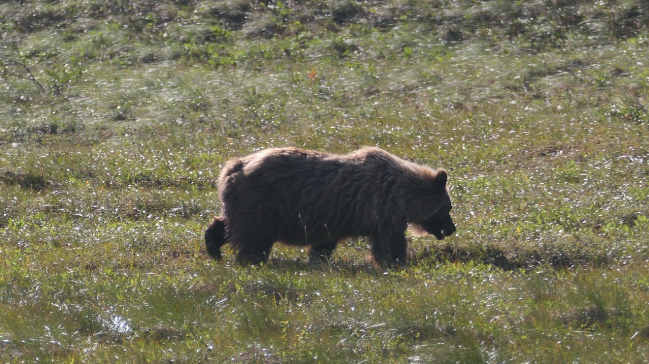
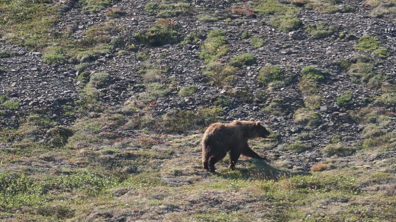
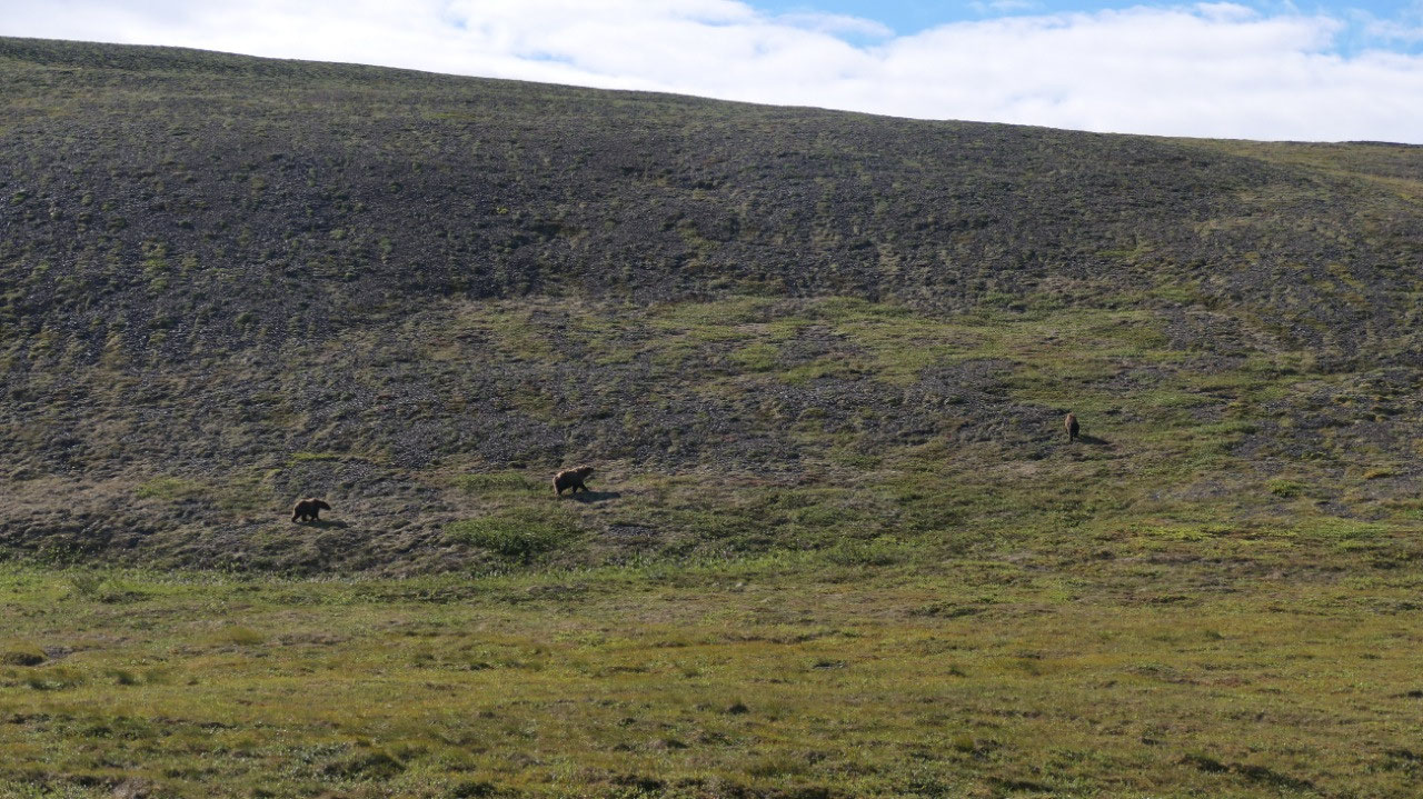
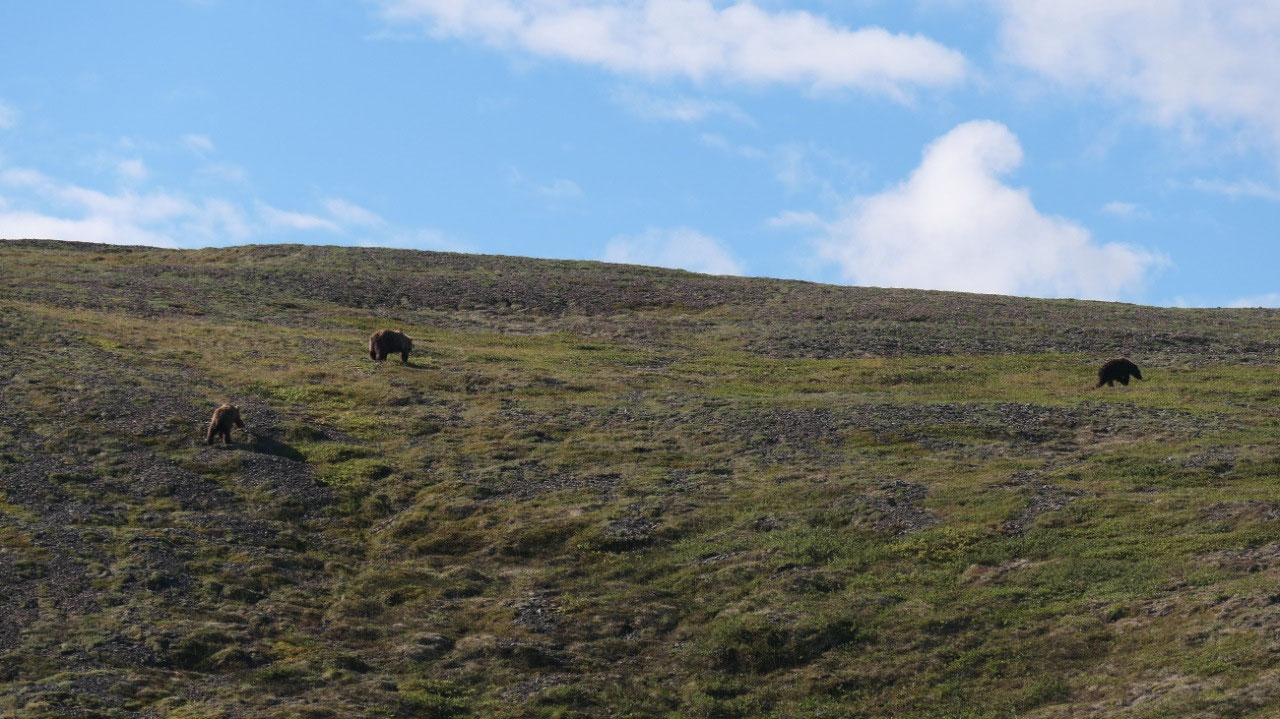
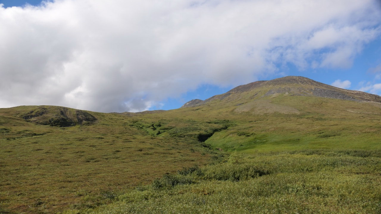
Grizzly’s along the road
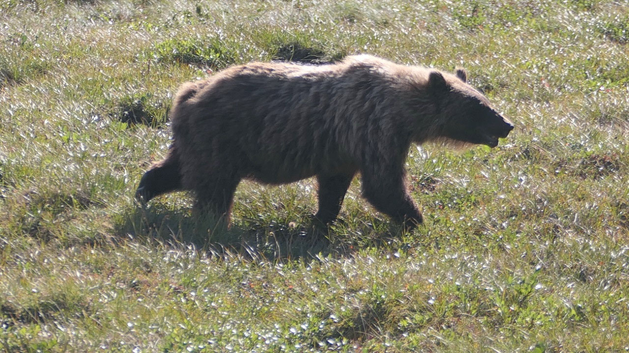
Back with the green sloping hills with
no shrubs and trees we see bears on the road far ahead – Paul slows down and
stops where we thought they were and see there a Mama grizzly bear with her two
jumpy cups behind and they stroll and run up the hill – now this is super cute
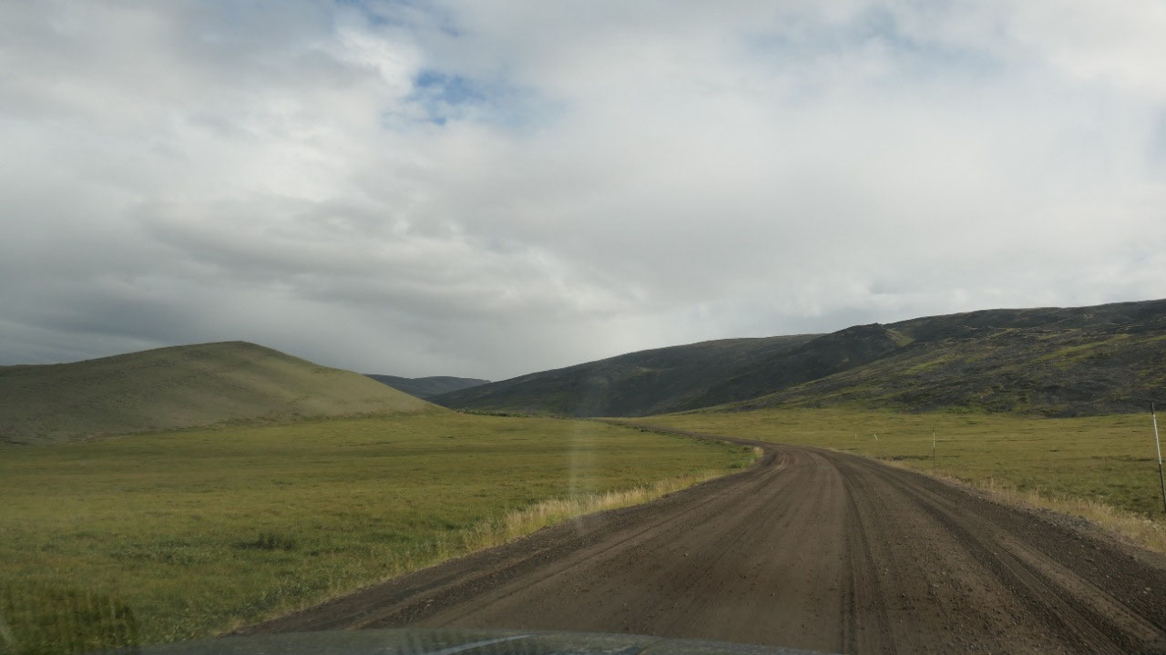
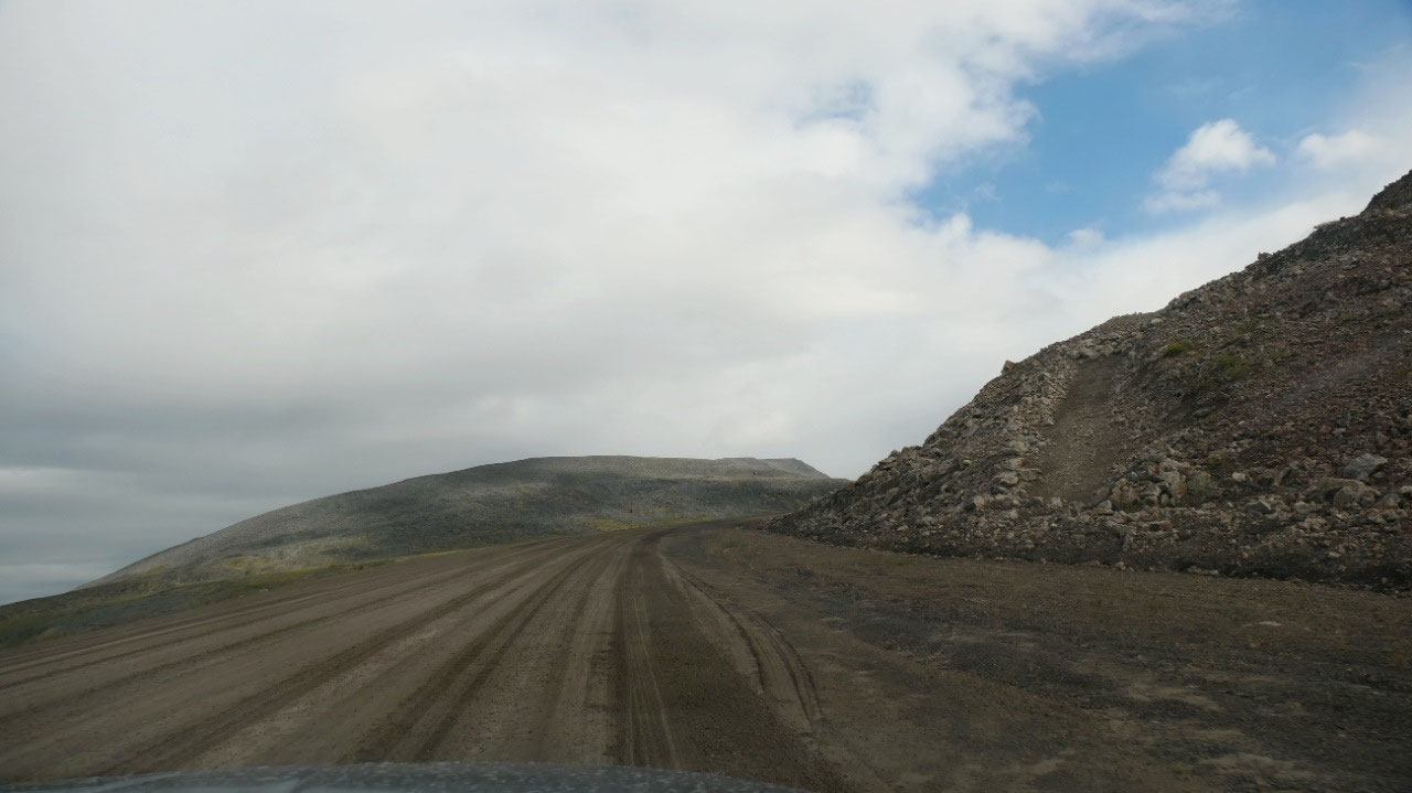
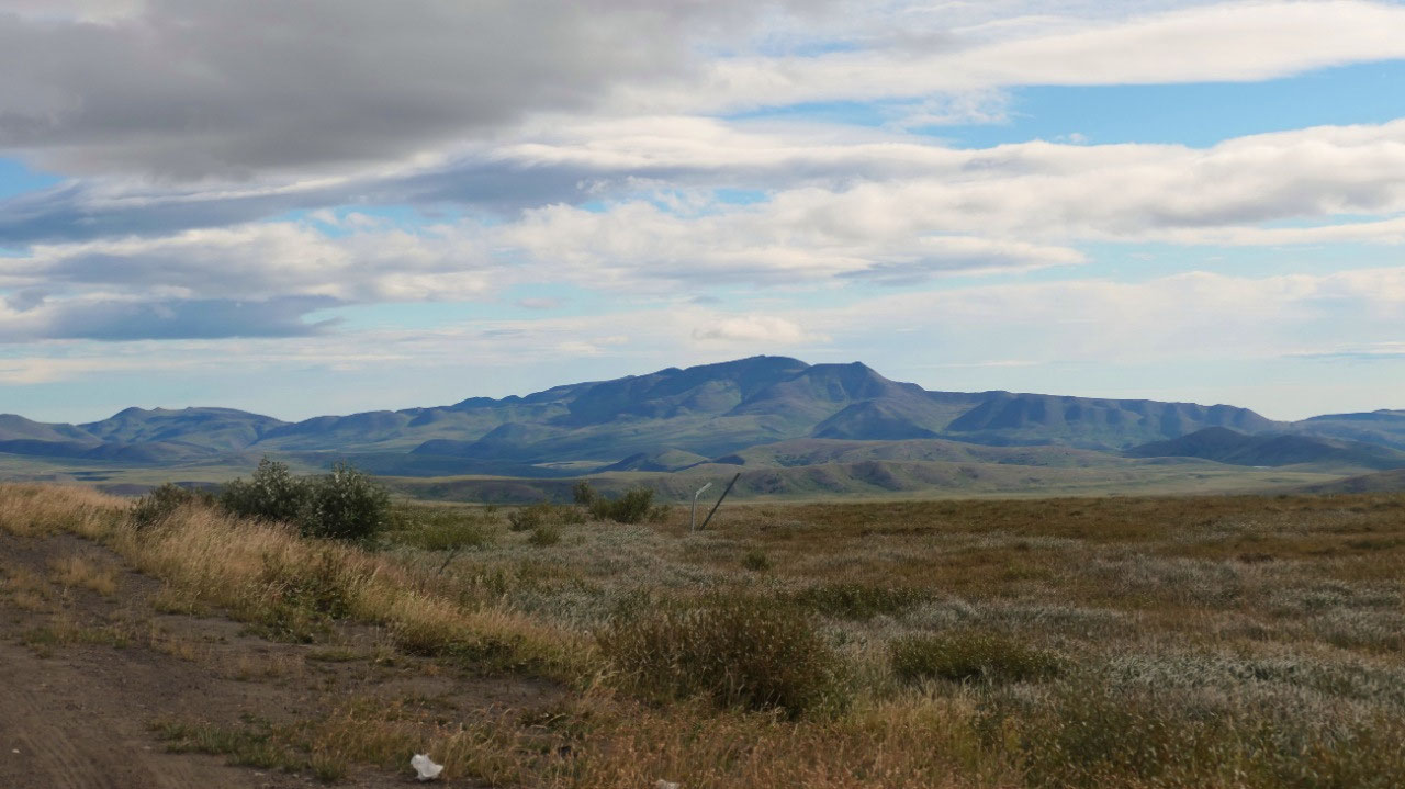
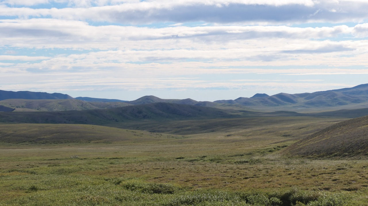
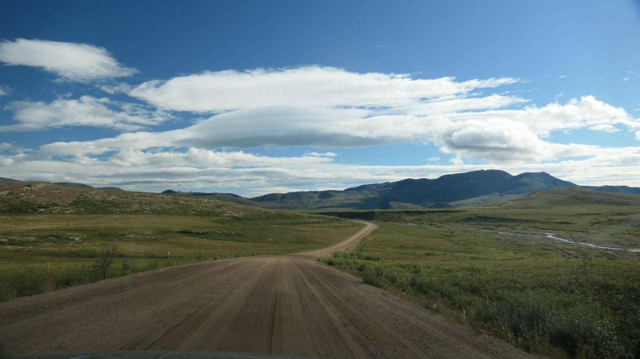
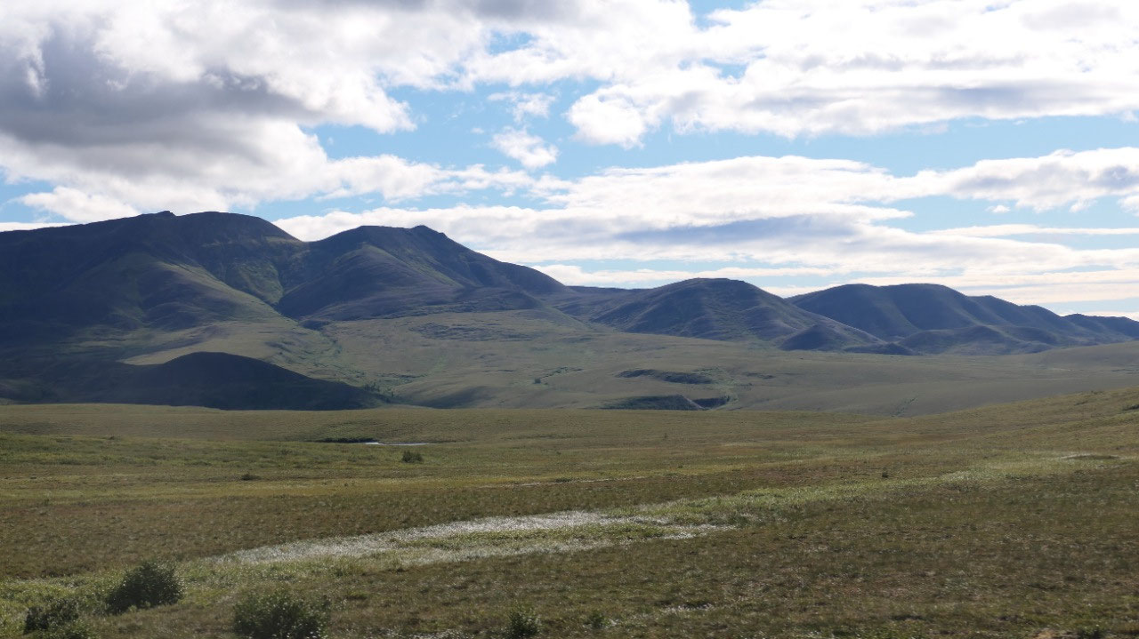
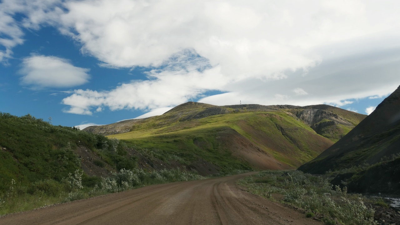
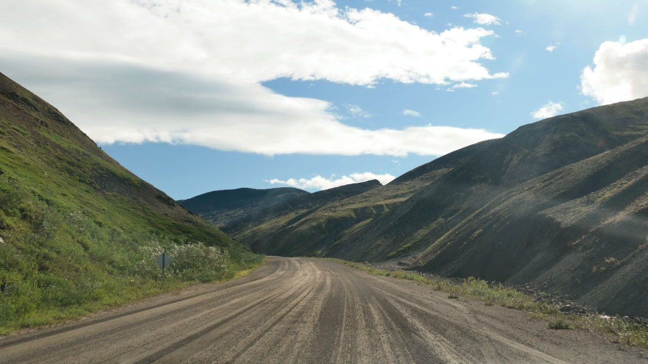
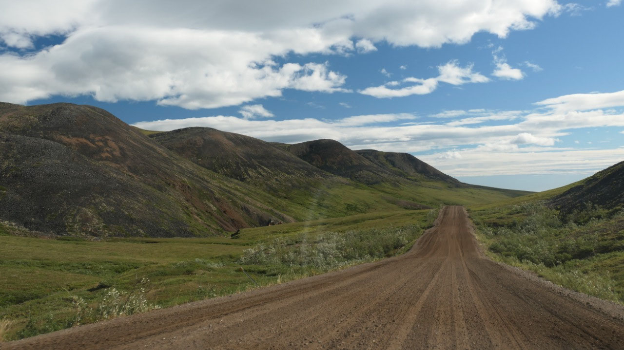
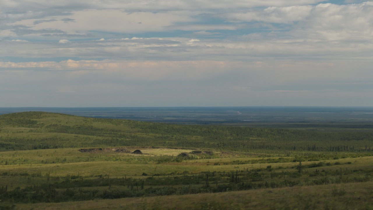
Through the Grey scale mountains
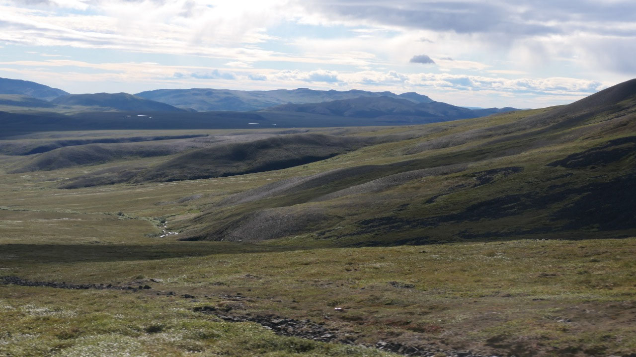
As we continue driving the mountains
are dark shale grey – it is super weird and eery – those are the Richardson
Mountain. Some big gaps and sloping dark grey hills.
- The Richardson mountain stopped the Laruentide Ice Sheet during the last ice age
- It’s named after Sir John Richardson a naturalist who was with Sir John Franklin on his voyages of exploration to the Arctic
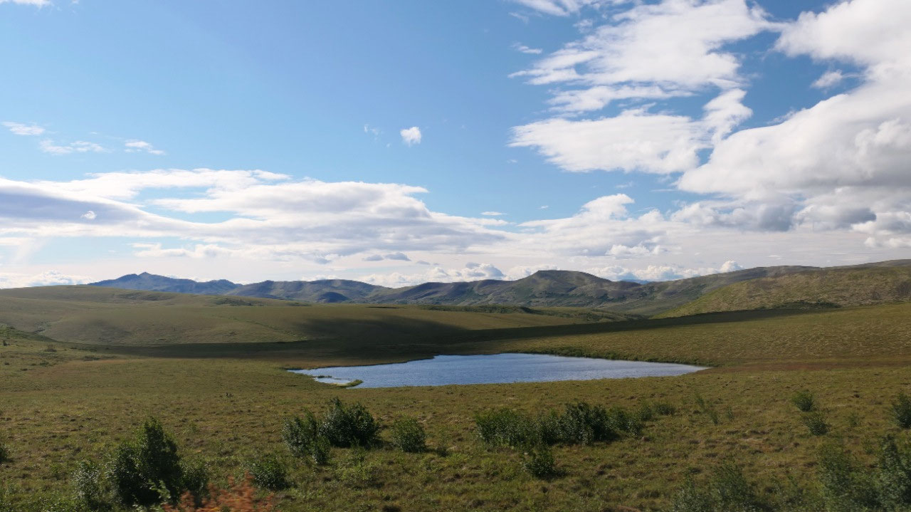
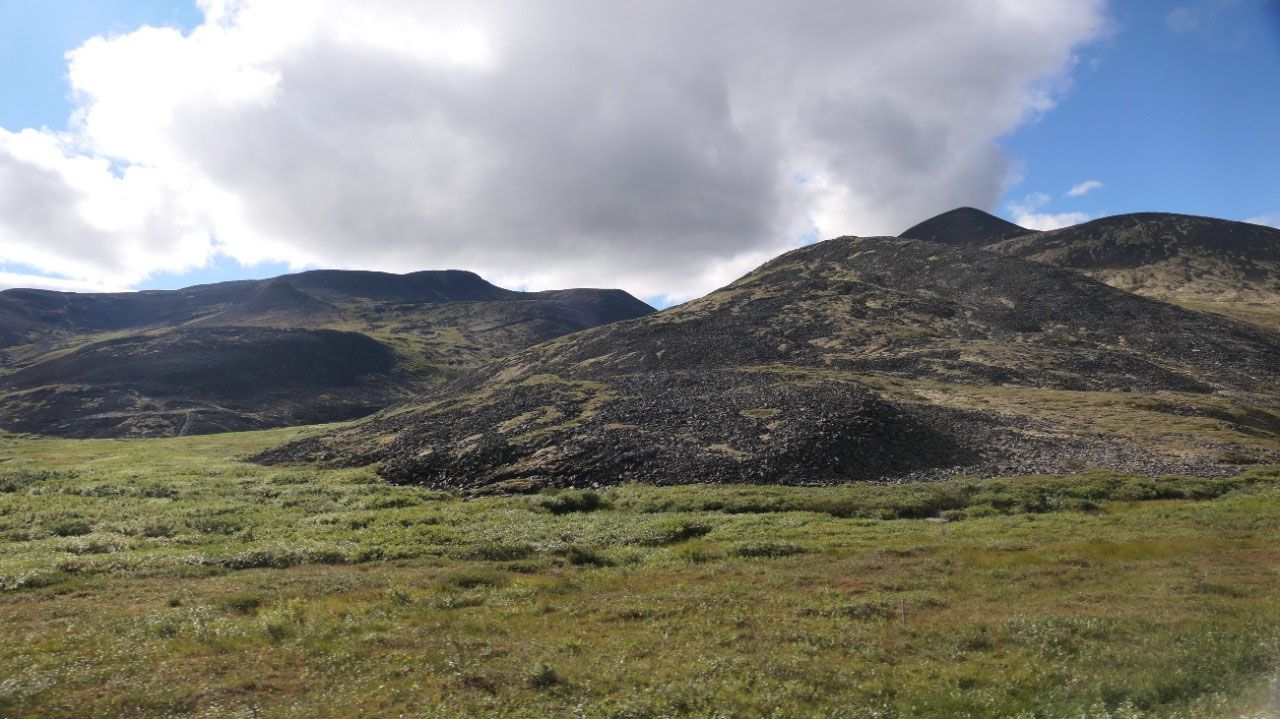
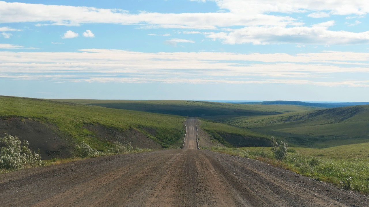
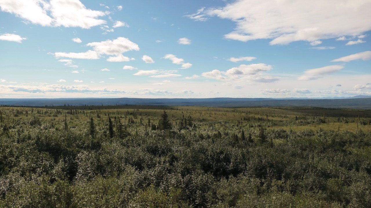
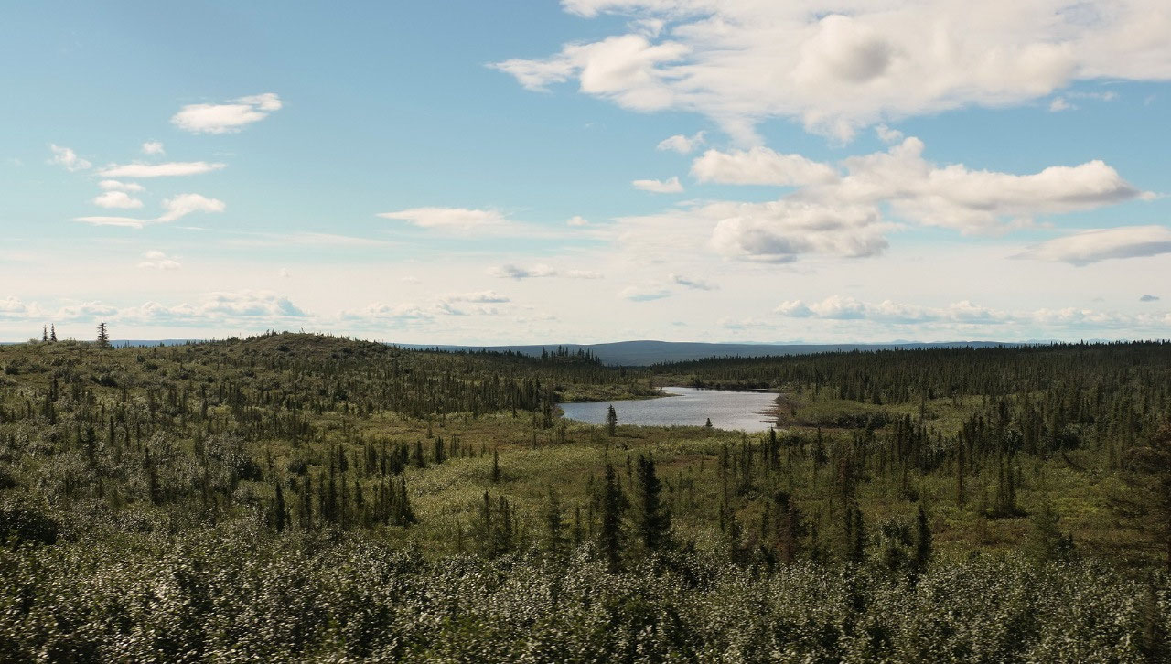
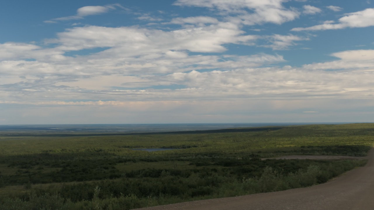
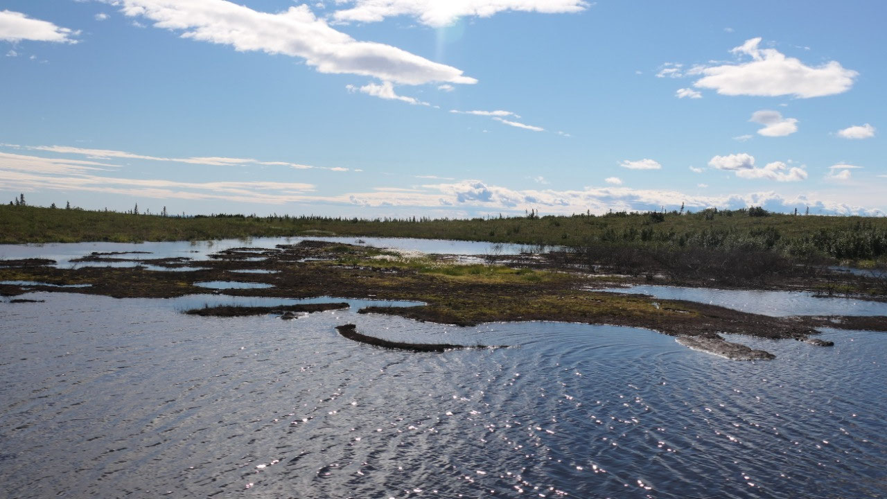
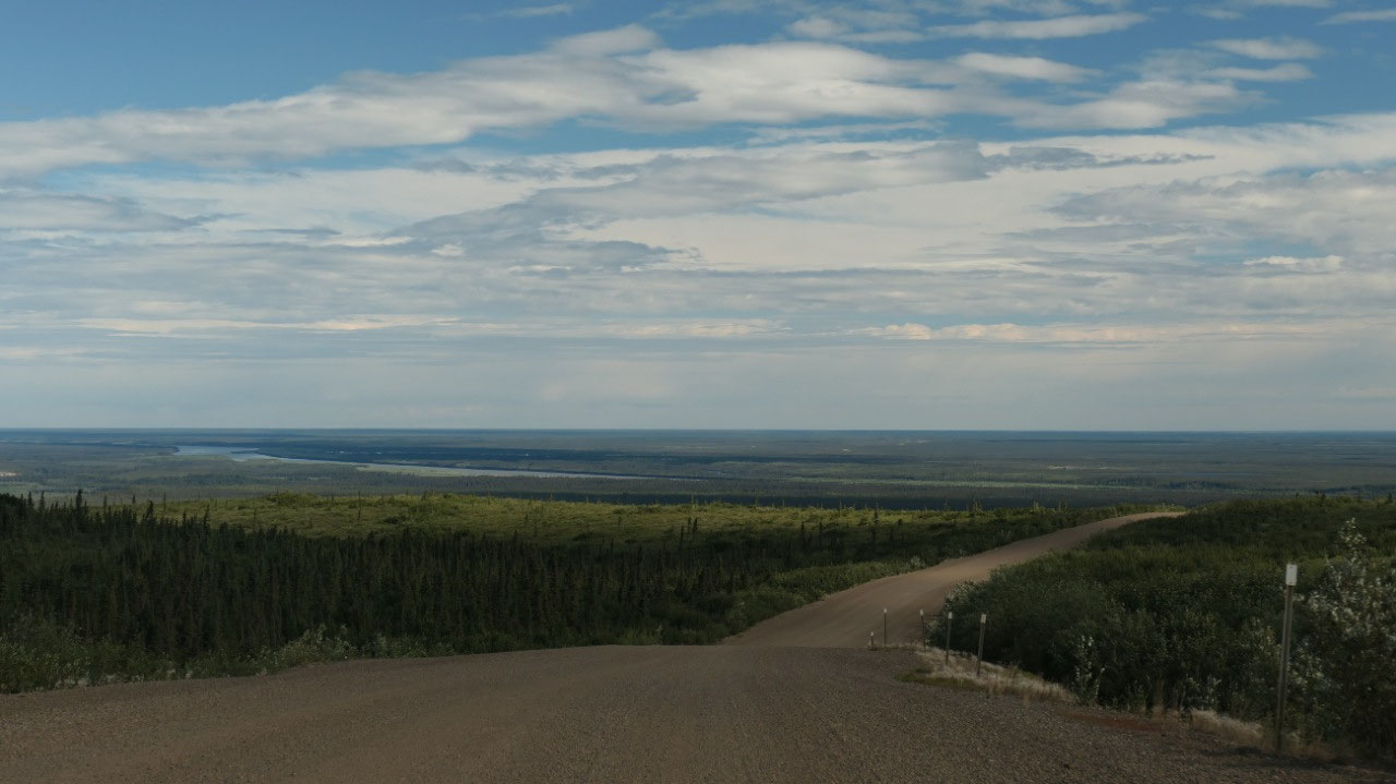
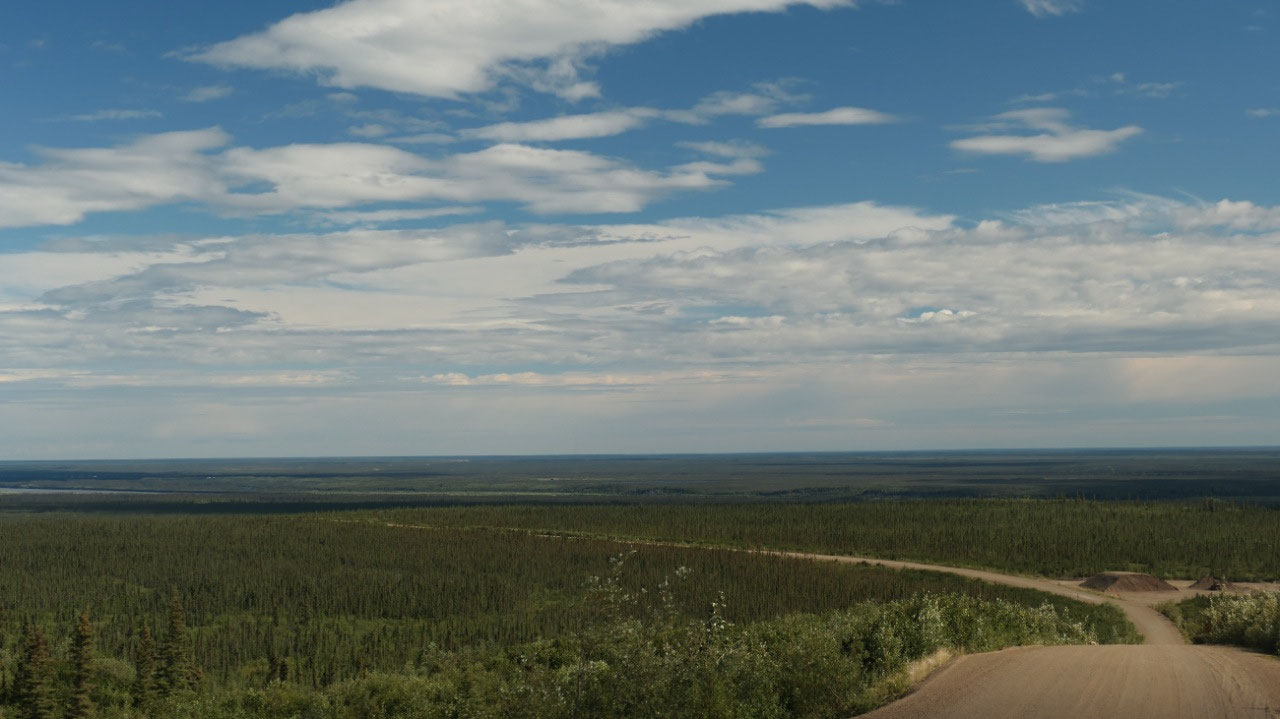
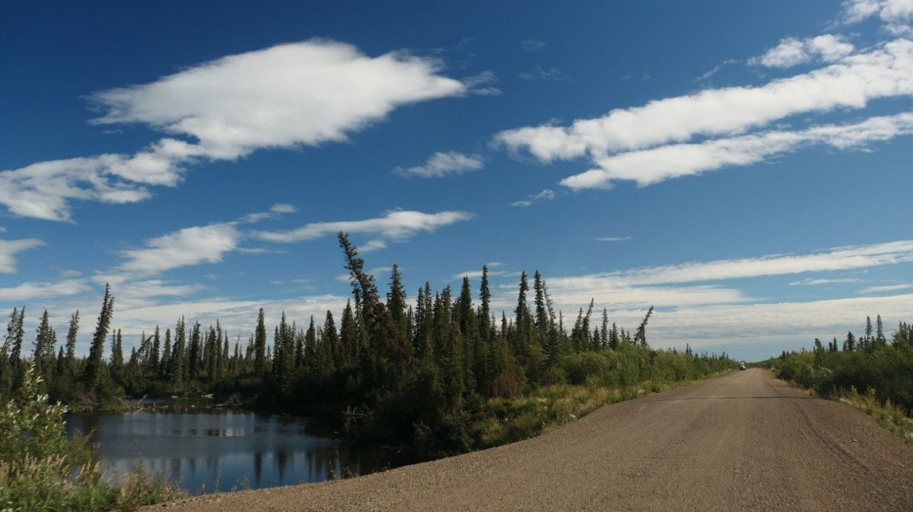
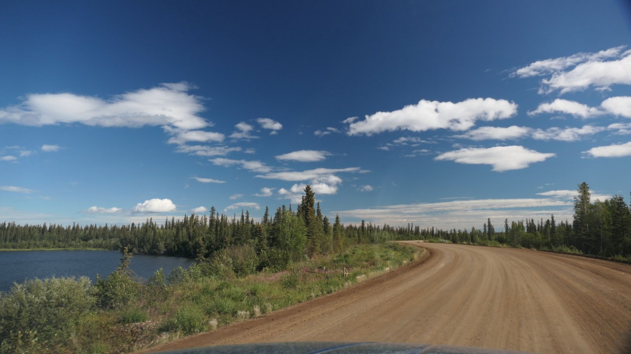
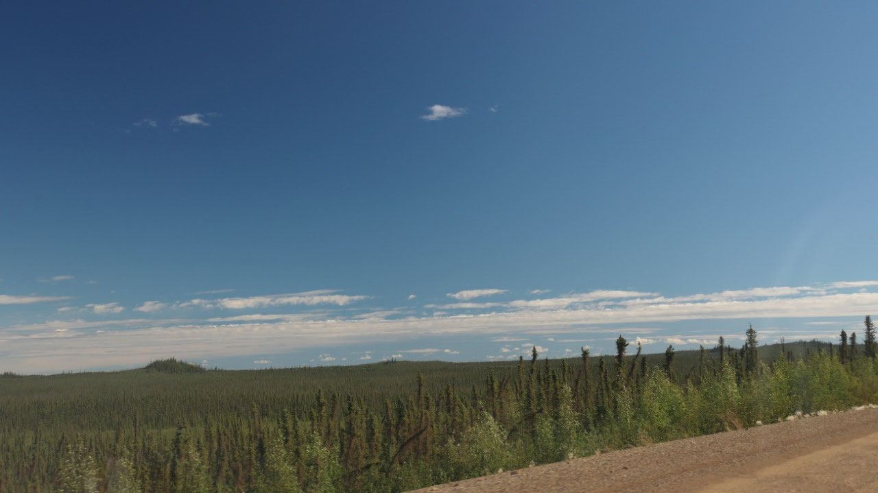
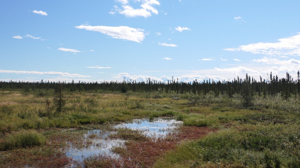
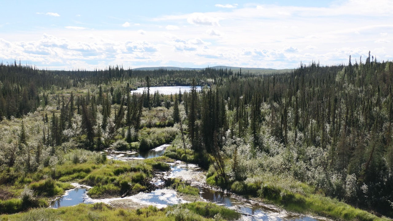
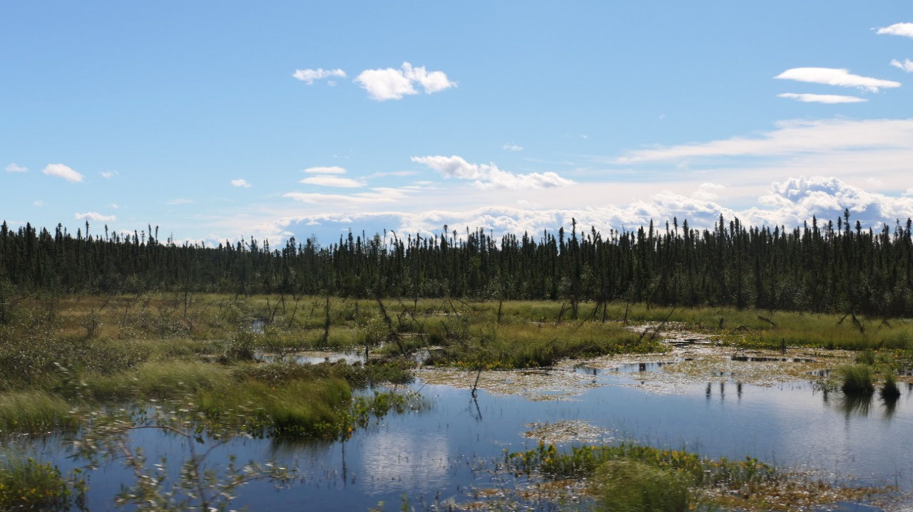
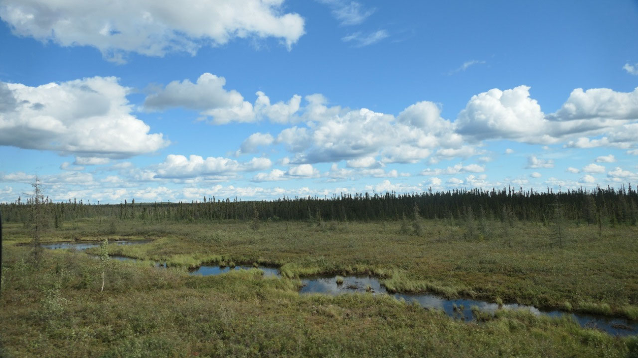
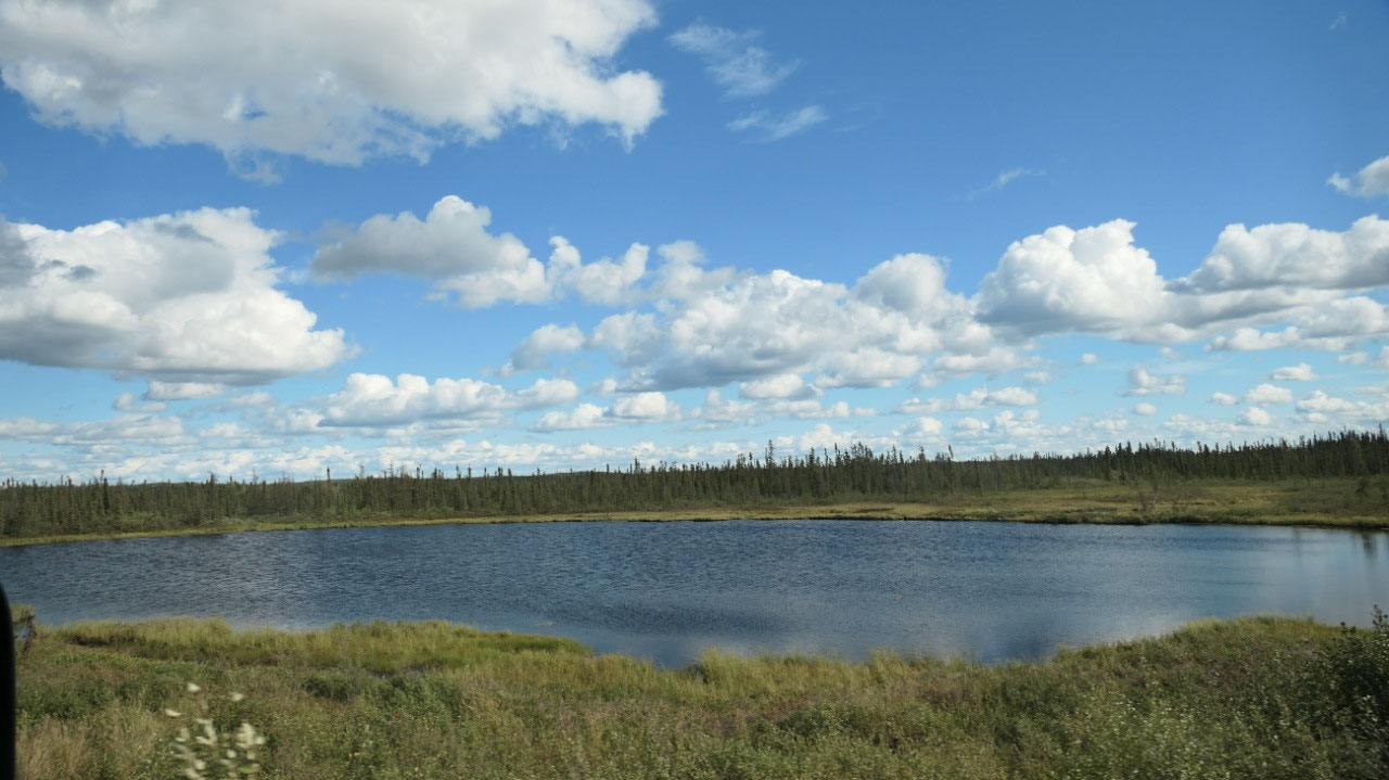
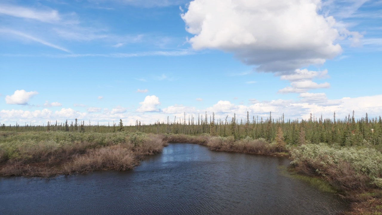
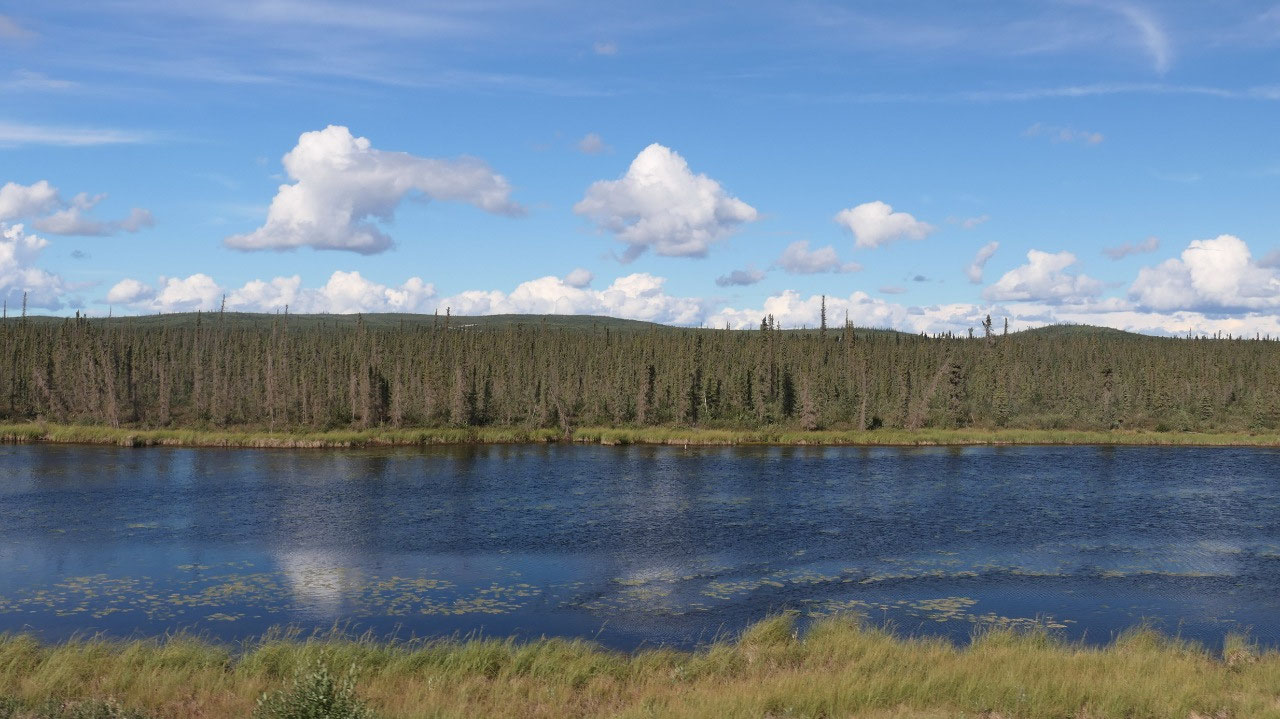
And then the mountain end and an
endless forested fairly flat area with a lot of little lakes and ponds we drive
through – it is like endless
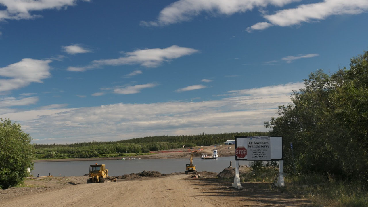
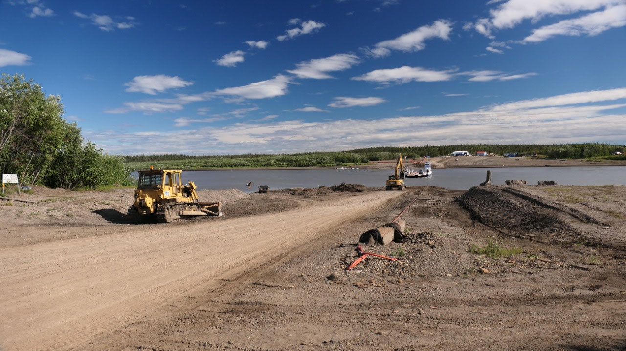
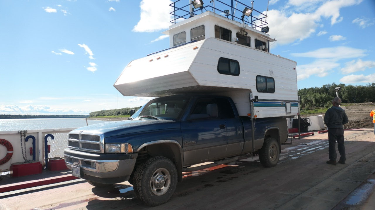
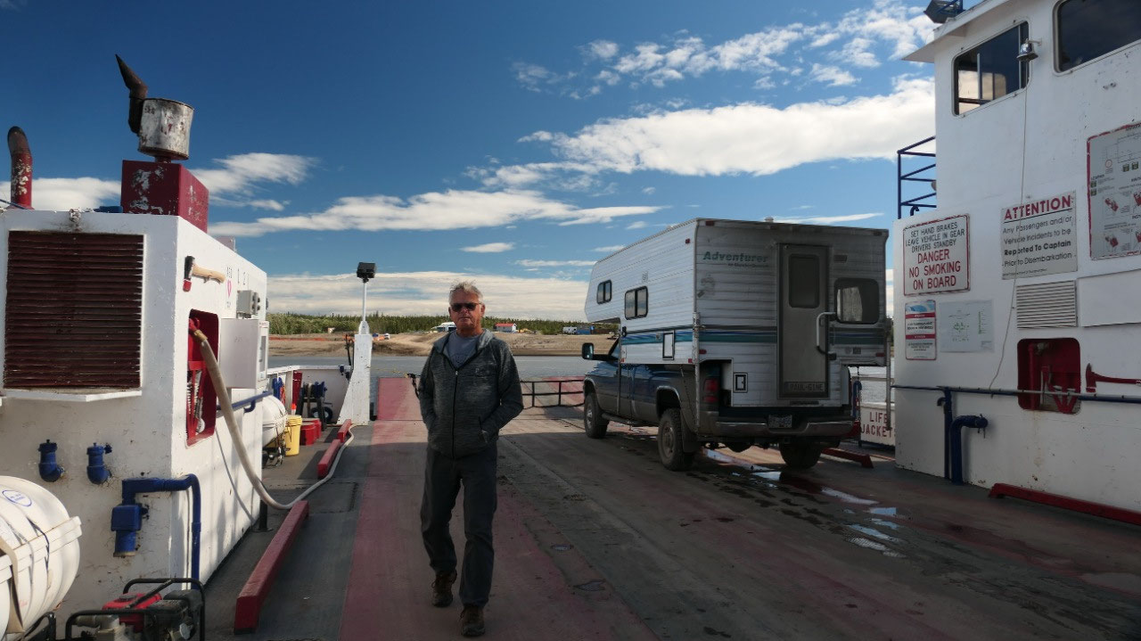
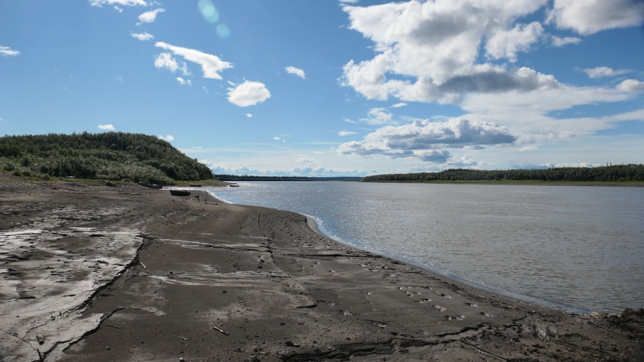
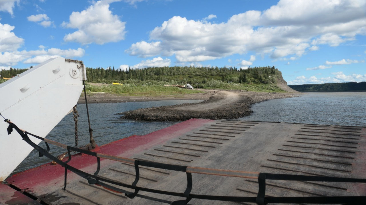
The Ferry over the Peel River
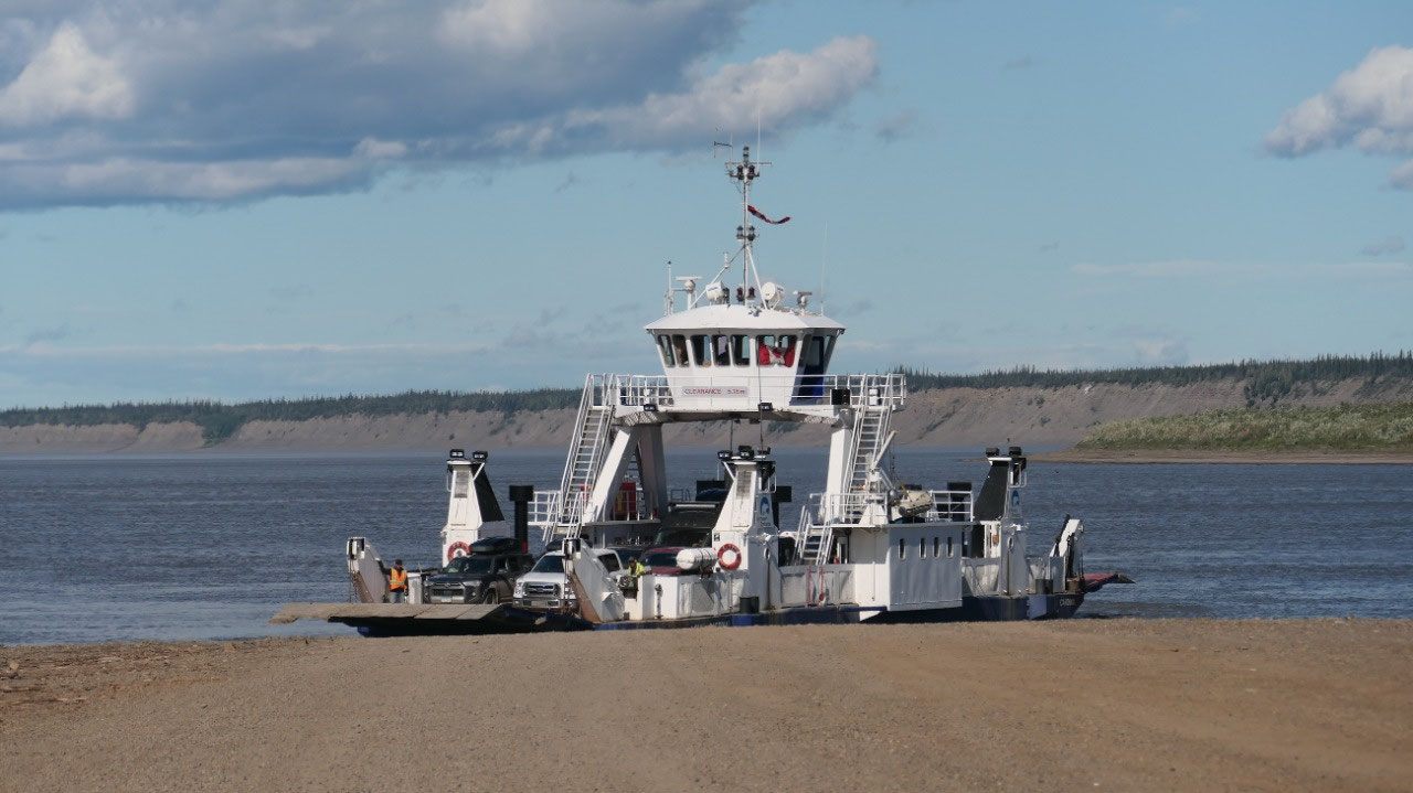
And then we arrive at the first Ferry
the Peel River Ferry: ok it is a big dirt ramp – the ferry is on the other side
of the road: so we stop and enjoy the scenery and wait. Once here we were the
only ones on the ferry, and the guy told us, that they do every day around 150
crossings with 40-60 RV’s crossing – that means around 30 tourists start out
the Dempster per day (with Gine’s calculation that means in summer 2000-2500
and this year we are one of them). They only run the ferry when someone is
coming and waiting.
- It’s a cable ferry and it runs from early June to October. During the winter end of Nov until April there is an ice road across – and the guy told us you can drive on the river up all the way to town. The ferry is closed during spring break-up and during fall freeze-up
We are back at 9 am
A bit up the slope is the log house of
the Nitainlaii TP meaning “water flowing out in all directions” and we thought
we check it out, but there was a sign back at 9 am – mmhh it is now noon – we
are a bit confused on how old that sign is.
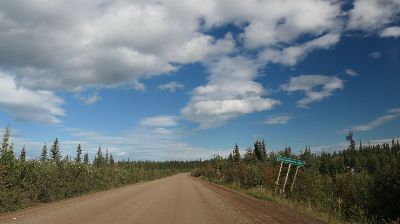
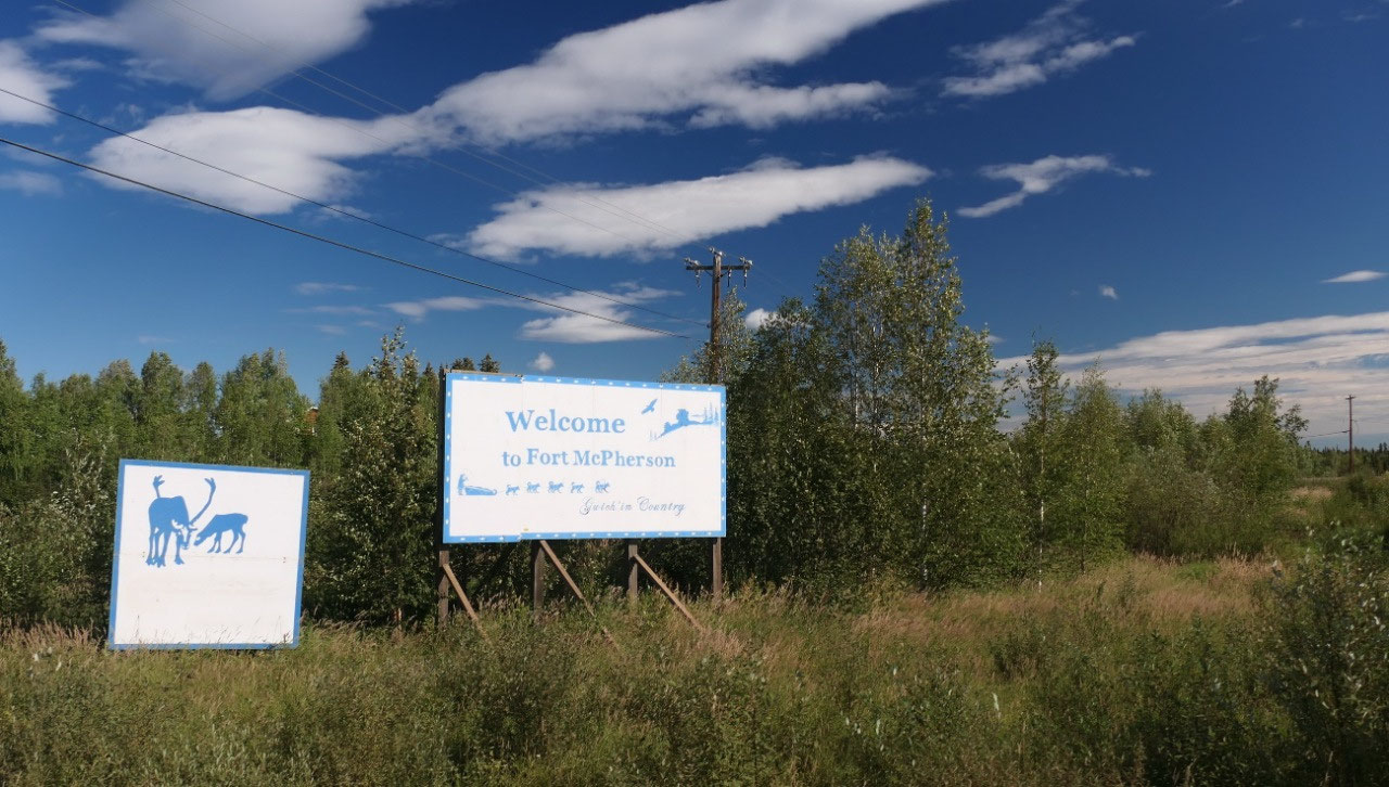
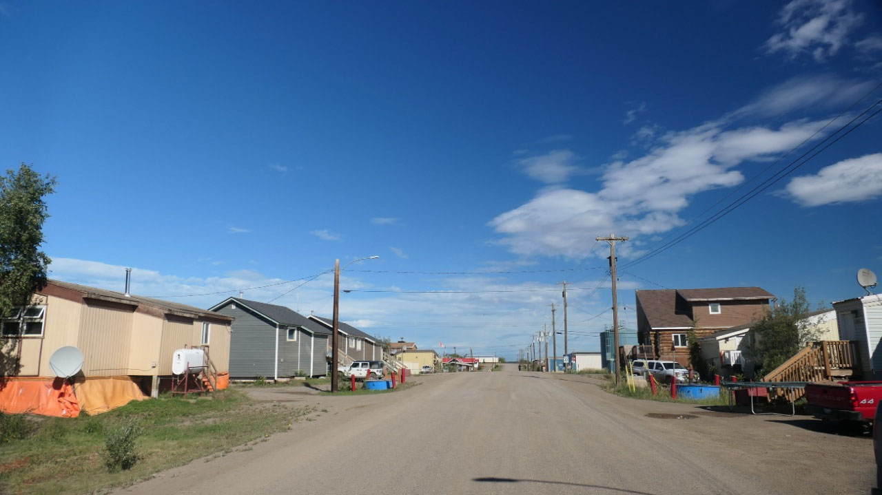
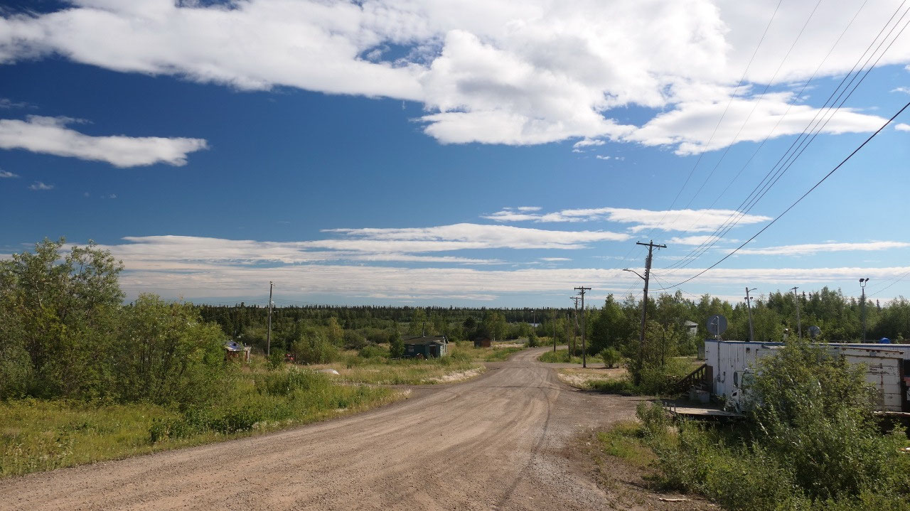
Fort McPherson
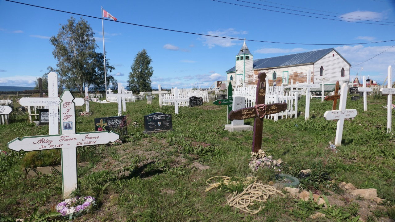
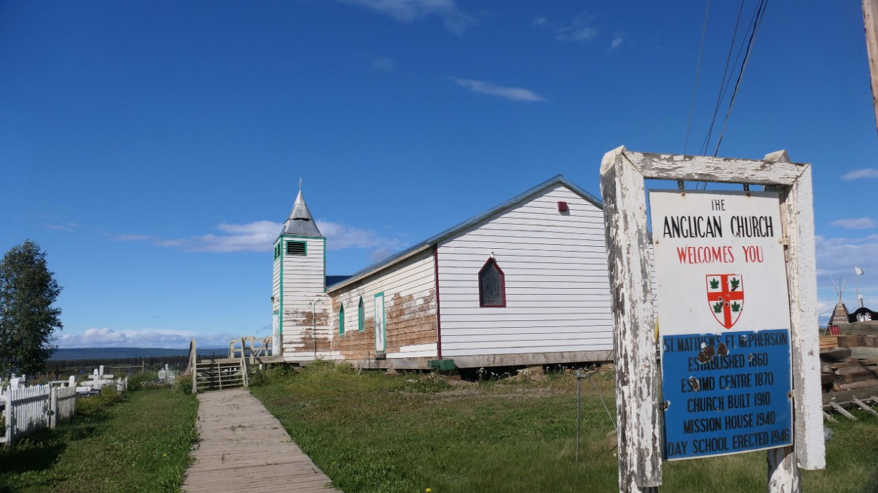
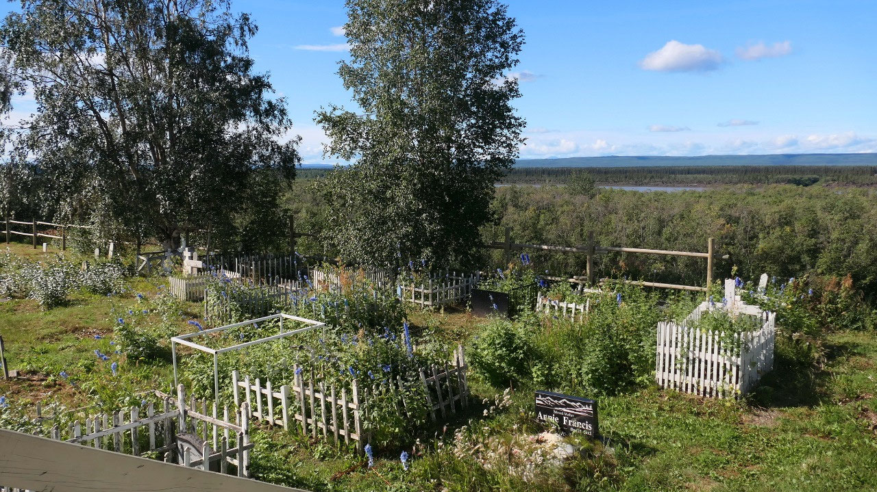
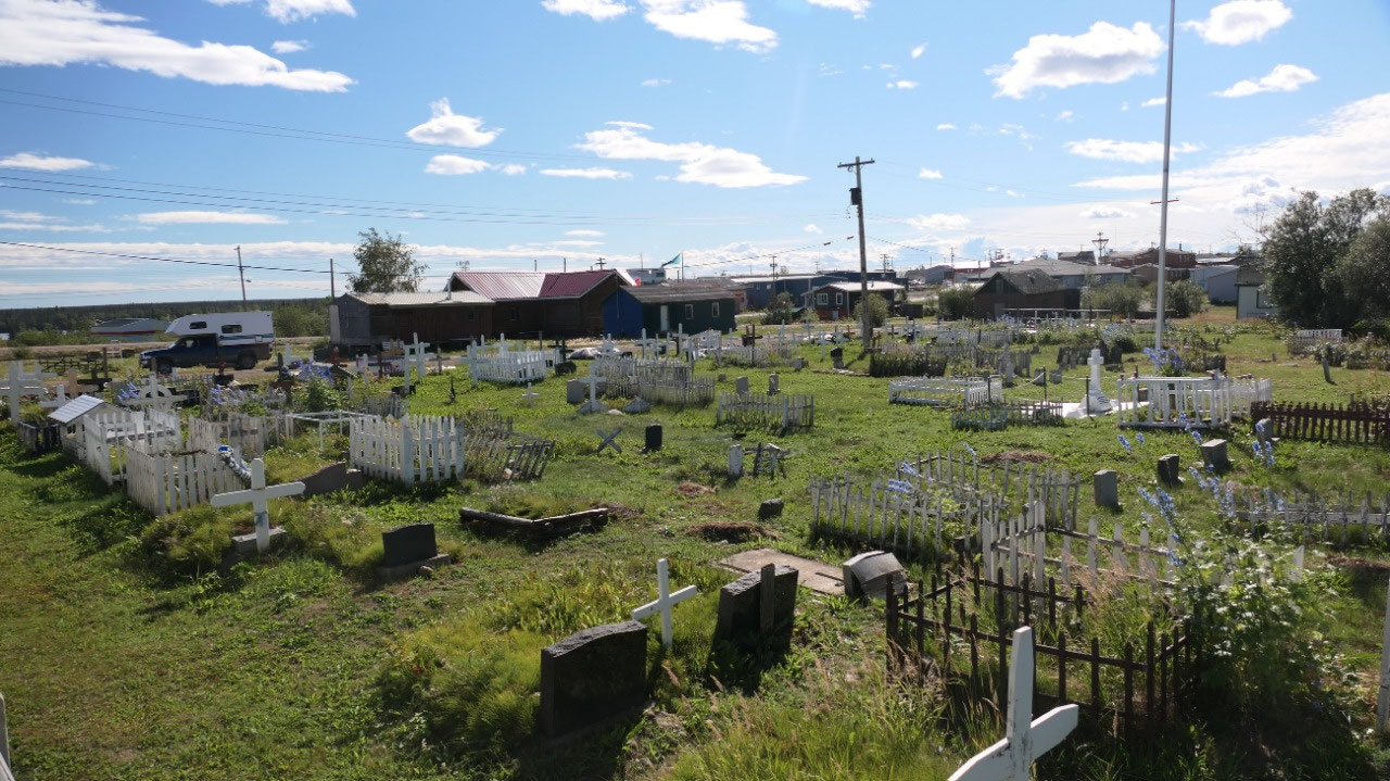
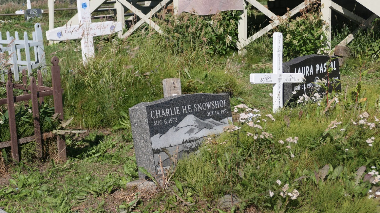
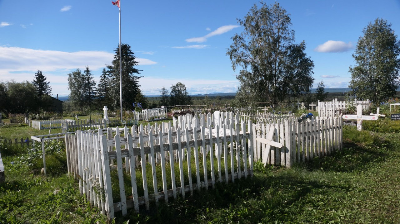
We drive through “town” and stop at
the St. Matthew Anglican church to visit the graveyard and see the grave of the
NWMP guys with a Canadian flag. It is a super nice old white church and some of
the white crosses are nicely painted, some have fences around. This was the
only thing we really checked out in the town before heading out again.
- It’s a community of 900 people today – it is the largest Gwich’in community in the NWT
- it is the oldest community in the Mackenzie Delta and the first one above the arctic circle, it got established in 1840 by the Hudson Bay company and named after the company’s chief trader Murdoch McPherson. Missionary activity began in the 1860s and in 1903 it became the Western Arctic first North West Mounted Police post
- Since 1904 each patrol of the NWMP spend 2-3 month travelling by dog team to the Mackenzie Delta and back to check on the residents and bringing mail and exploring the area
- the lost patrol gravesite: on Dec 21, 1910 the 4 patrolman from the NWMP left for the mail run to Dawson City, when they didn’t arrive by Feb 20 with temp of -55C they turned back but then perished only 26 miles before Fort McPherson one of them Fitzgerald wrote in his journal “we have now only 10 pounds of flour and 8 pounds of bacon and some dried fish, my last hope is gone, we have been a week looking for a river to take us over the divide bu here are dozens of rivers and I am at a loss” – William dempster found them on Mar 22 and they got buried here
- it played a role in the Yukon Gold rush in 1899: over 100 prospectors travelled the Mackenzie route to McPherson and then headed across the continental divide to Dawson
- the traders depended on the local Gwich’in for supplies of meat: they built boats of moose skin and transported it downriver to the post.
- Tetlit Gwich’in means “people at the head of the river”: in summer they were here for the berries and fishing and in winter they went into the Richardson mountain to hunt Caribou and moose. They were great travellers and went long distances with the dog sleds to places like Old Crow and Dawson City
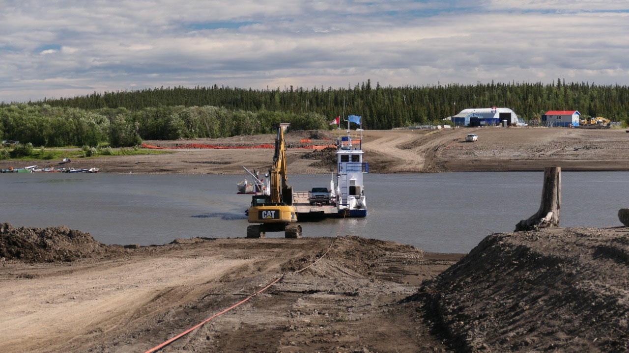
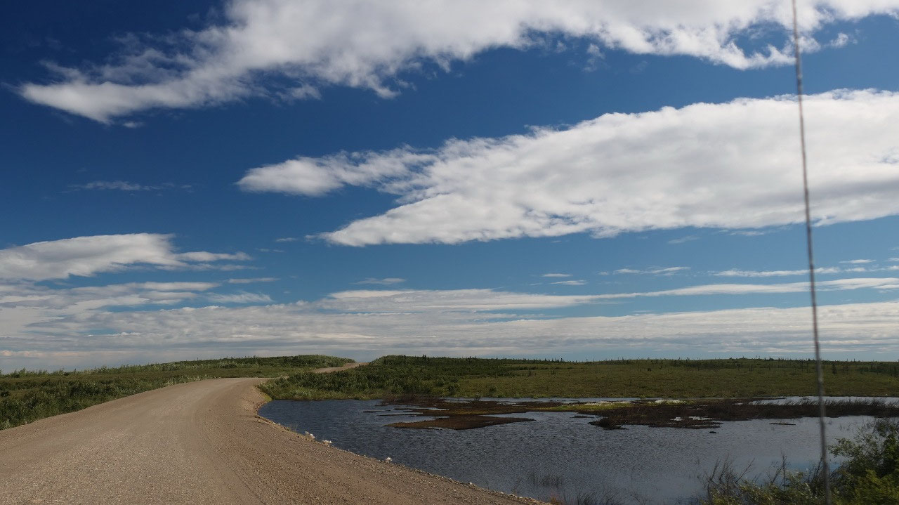
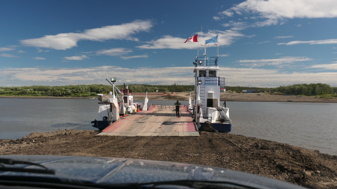
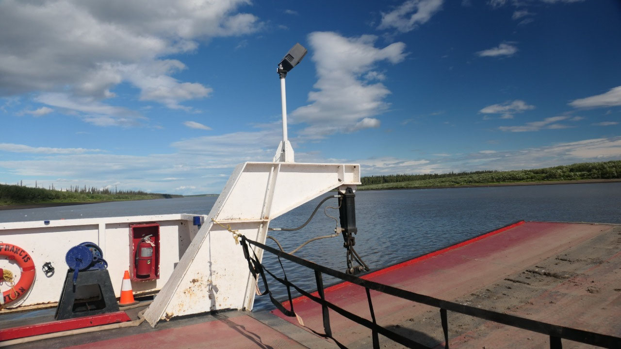
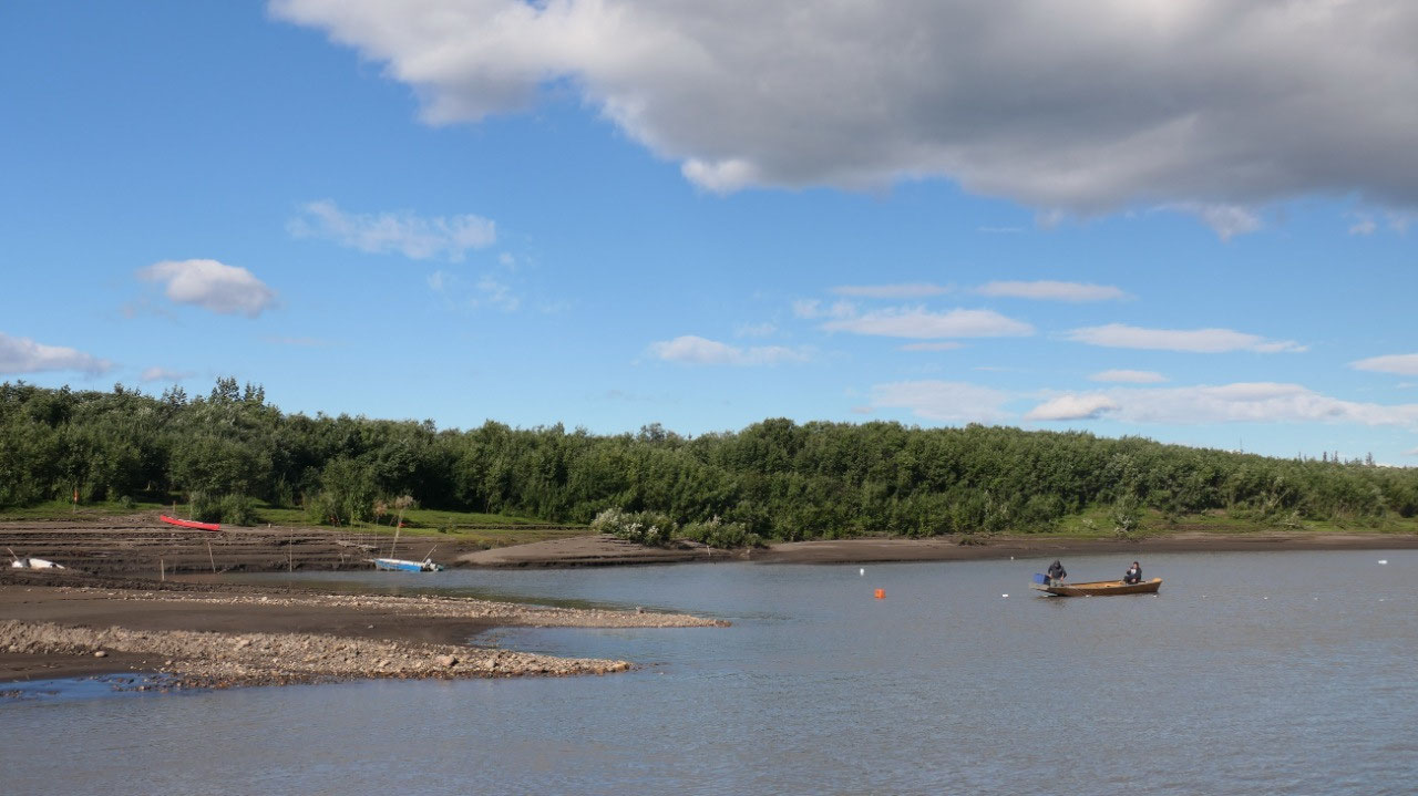
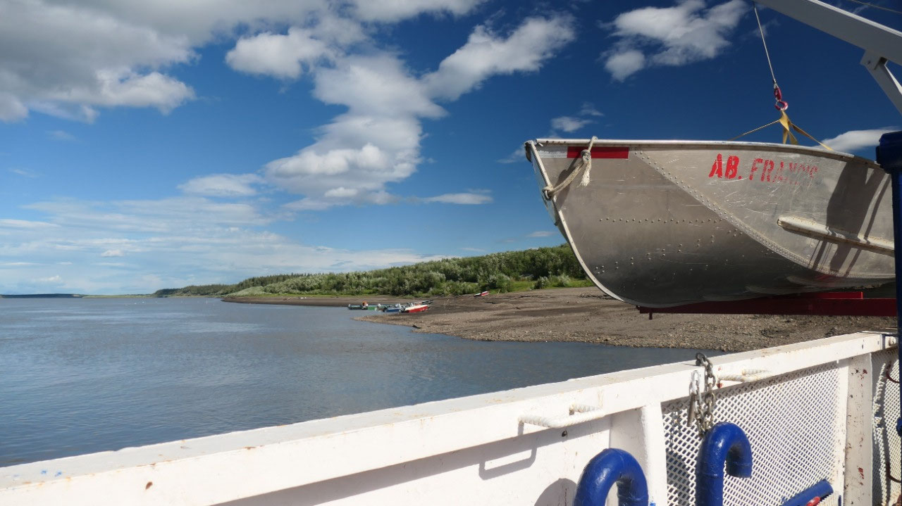
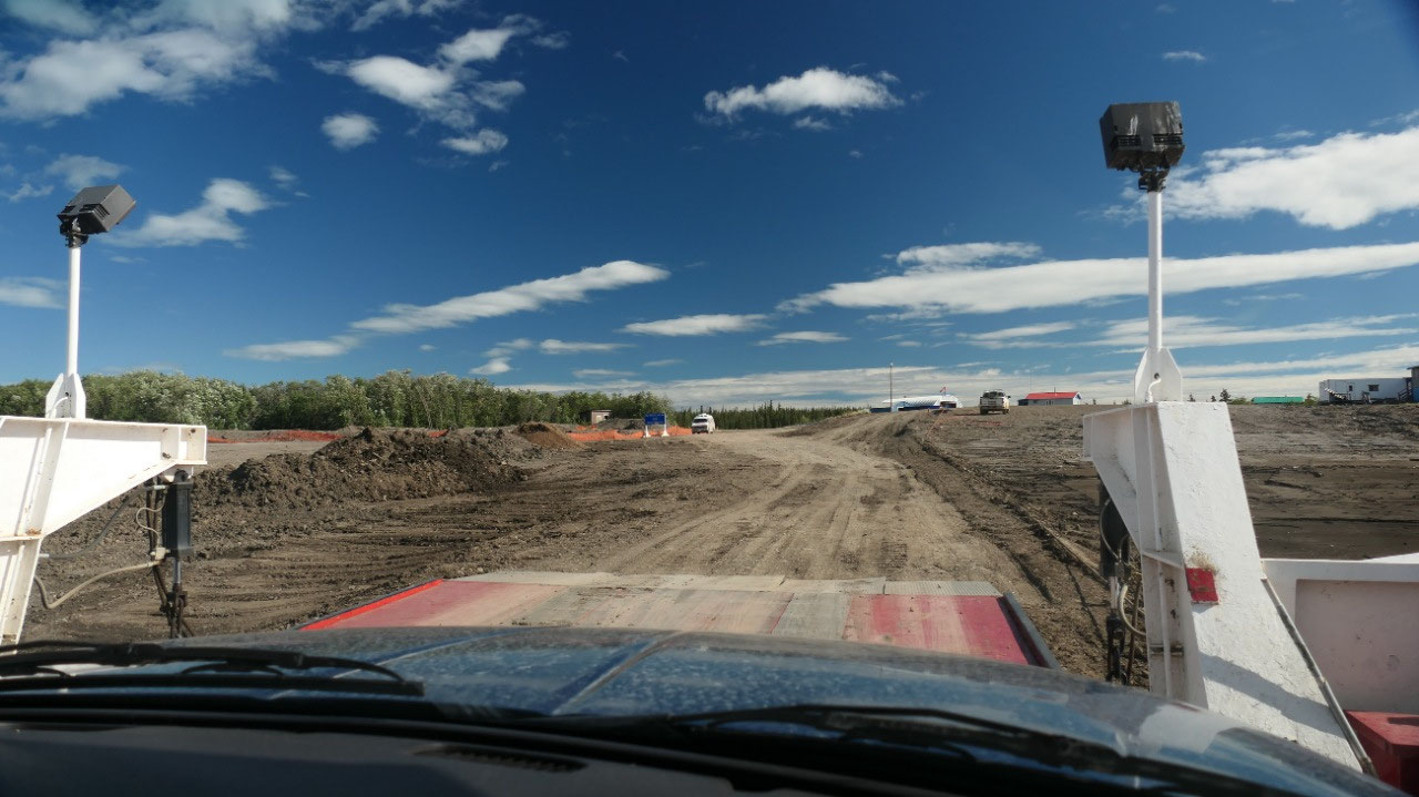
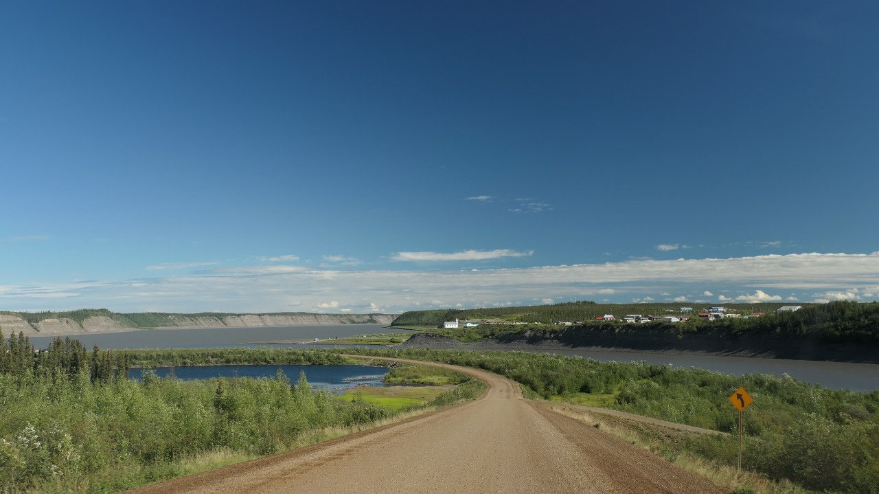
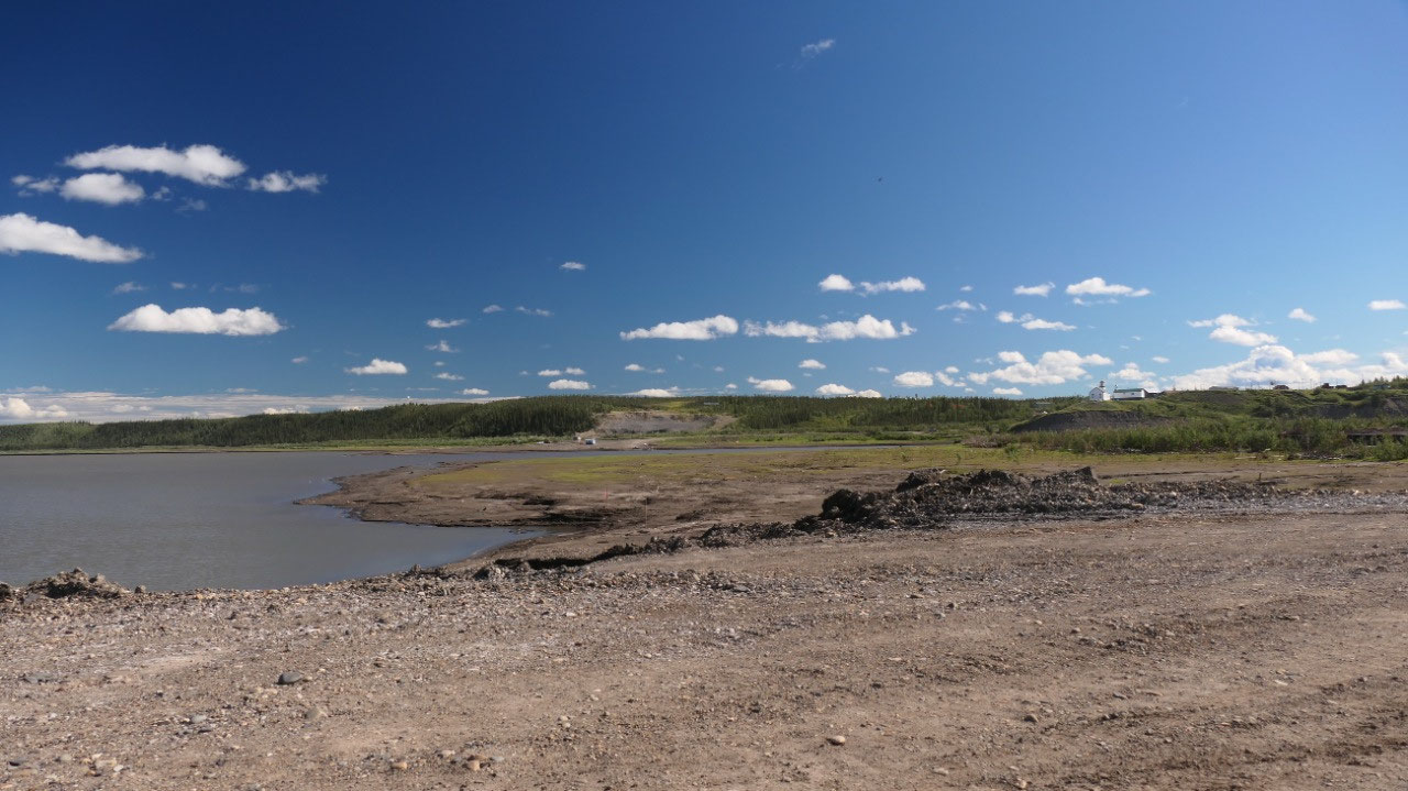
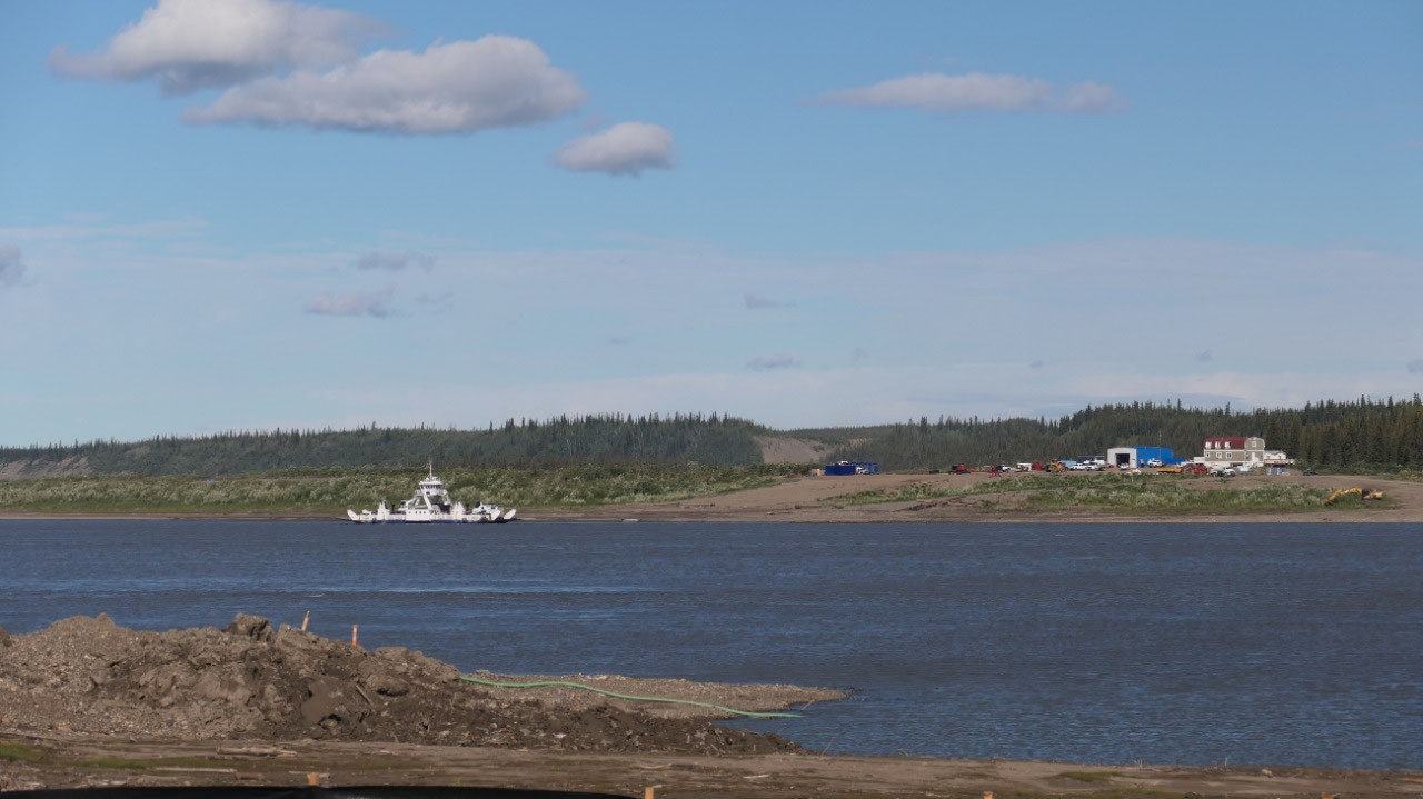
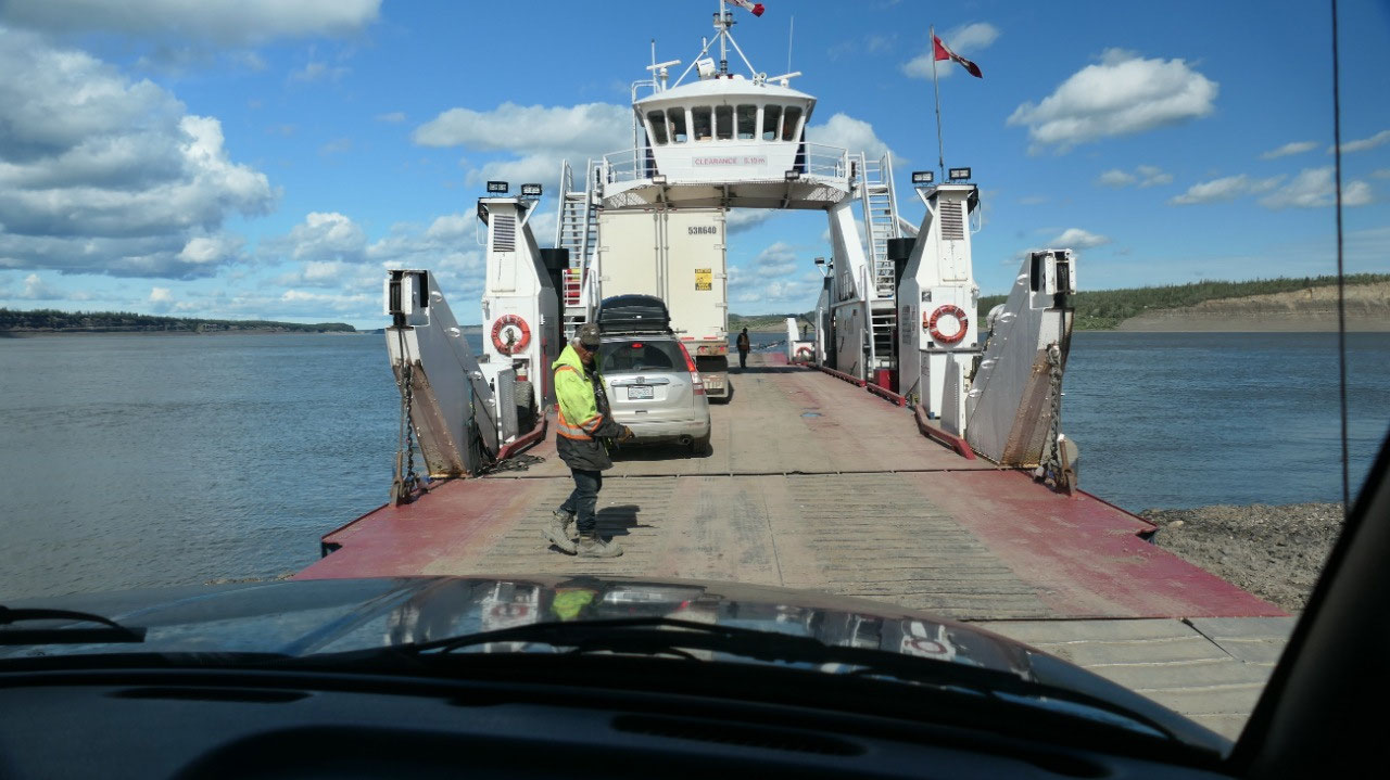
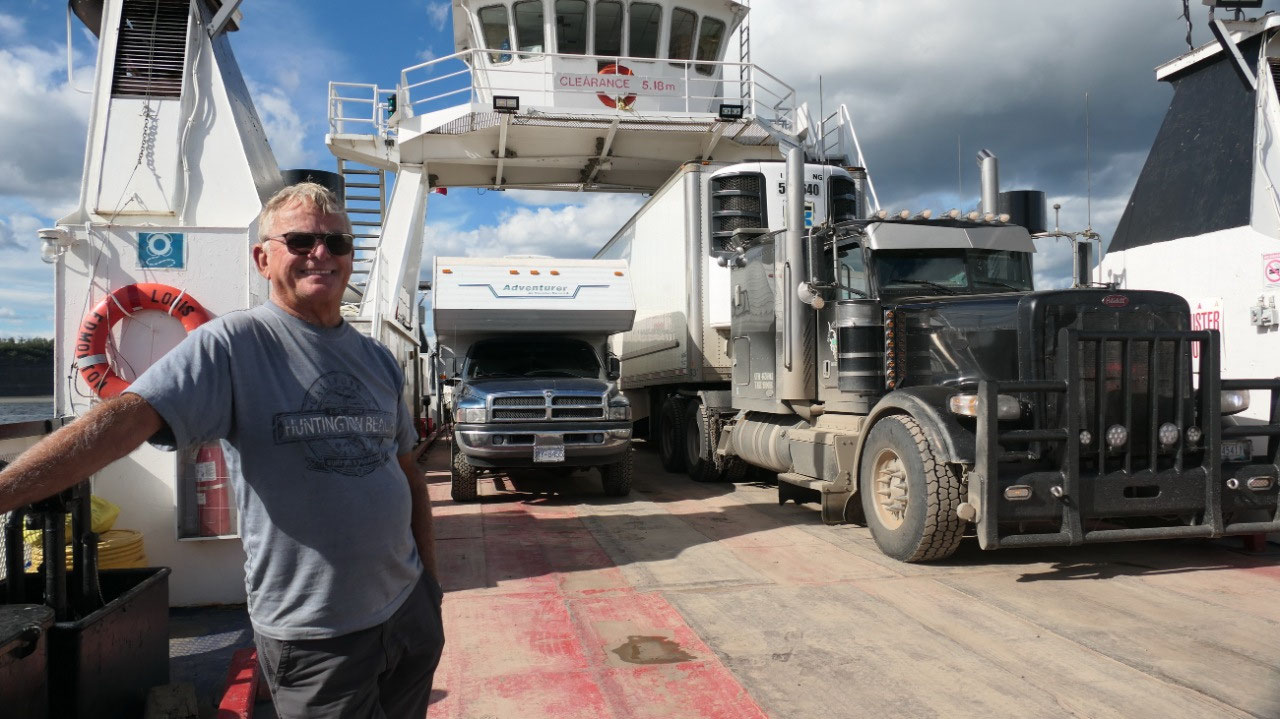
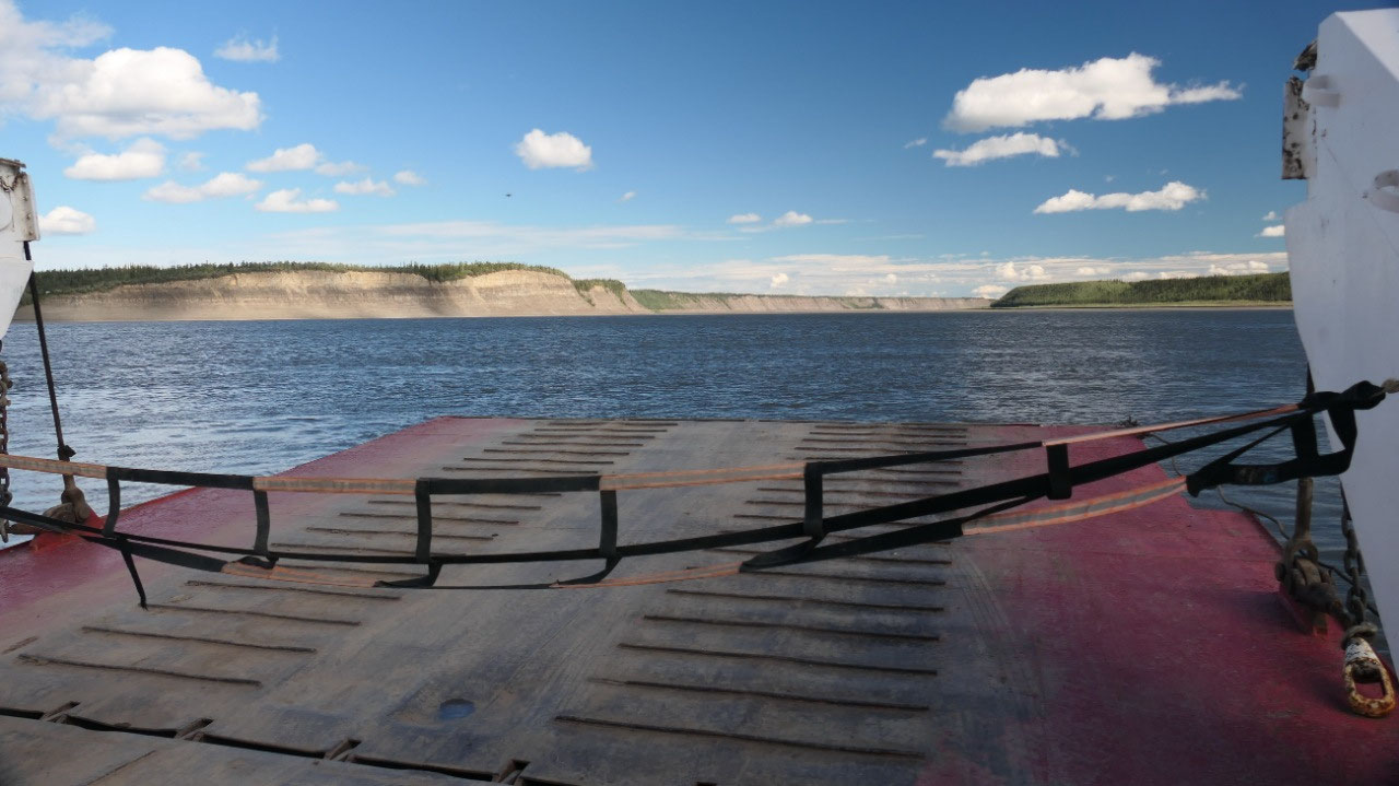
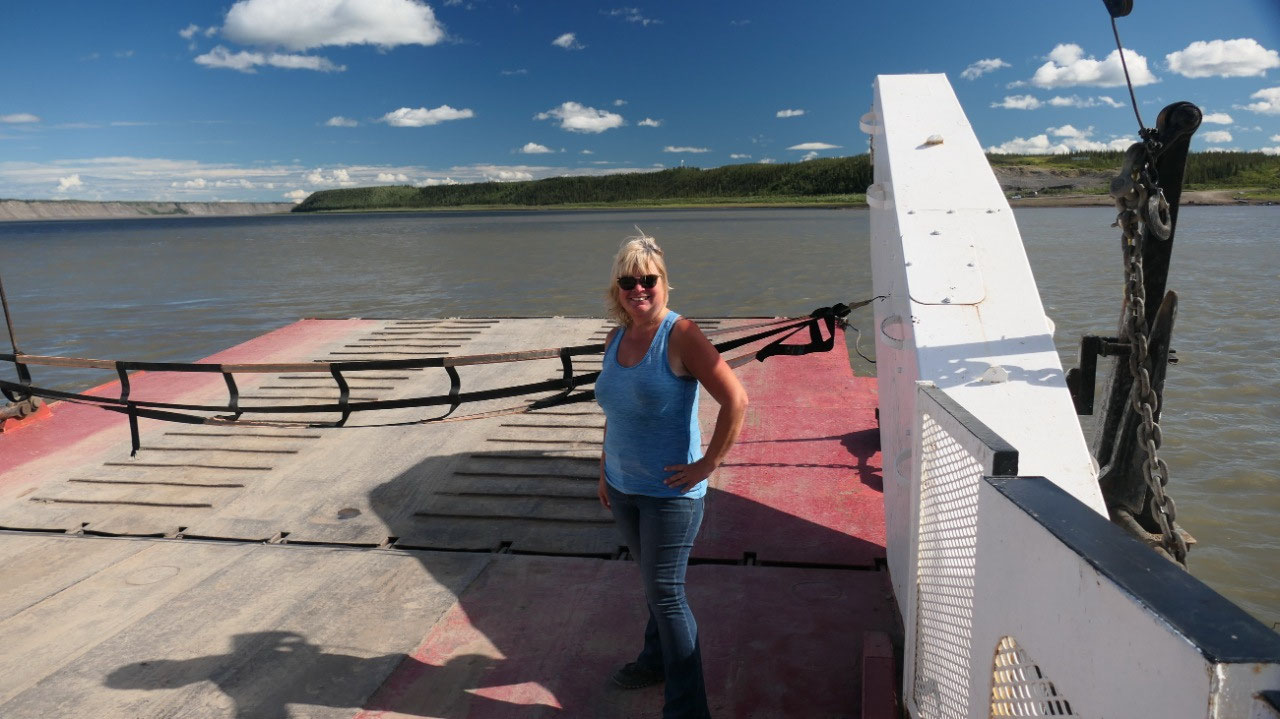
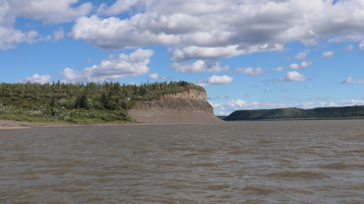
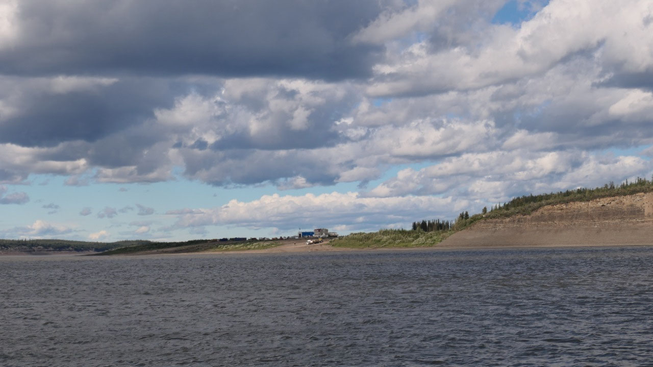
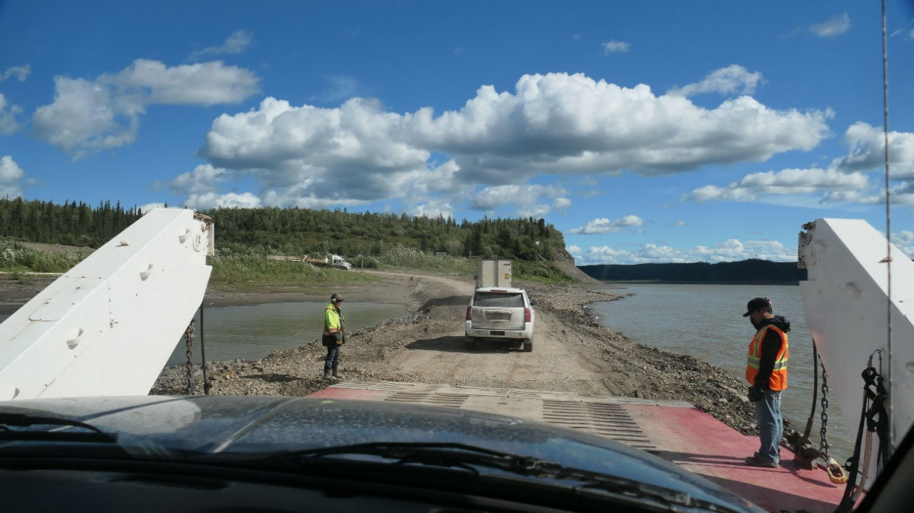
The Ferry over the MacKenzie River
We arrived and see there they do work
on the dirt-gravel ramp. This is one mighty river – wow and it looked super
cool when driving down as on the right side on top of a ridge is a cute little
white church overlooking the confluence of the rivers. And when you look close
you can see the brown color of the Arctic Red river and the blue water of the
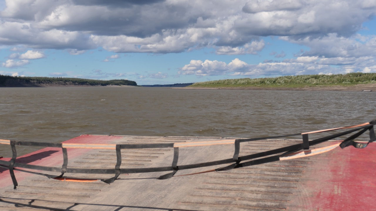
Mackenzie river – it is really weird how it goes in bands. And then we drive on
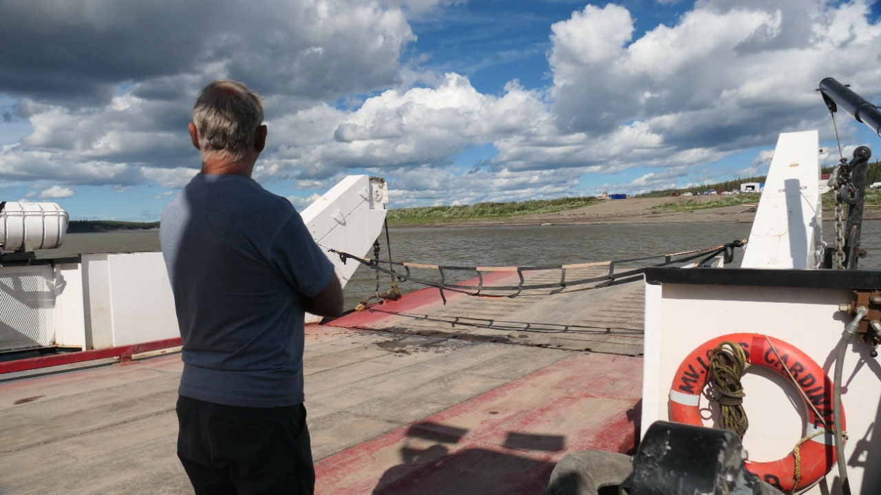
the ferry: as it is not a real smooth ramp the guy stands there and waves you
so you don’t end up where the ramp doesn’t meet the dirt – yes 4 vehicles!!!
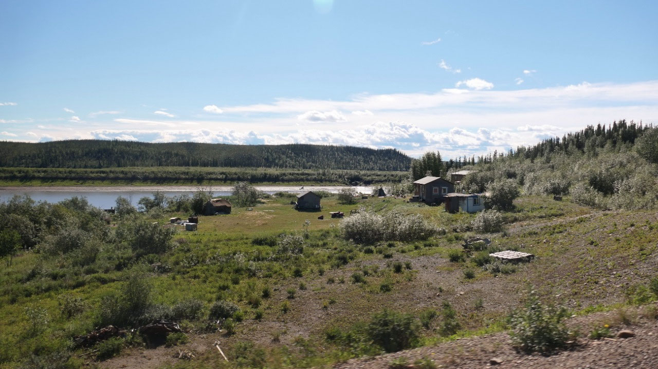
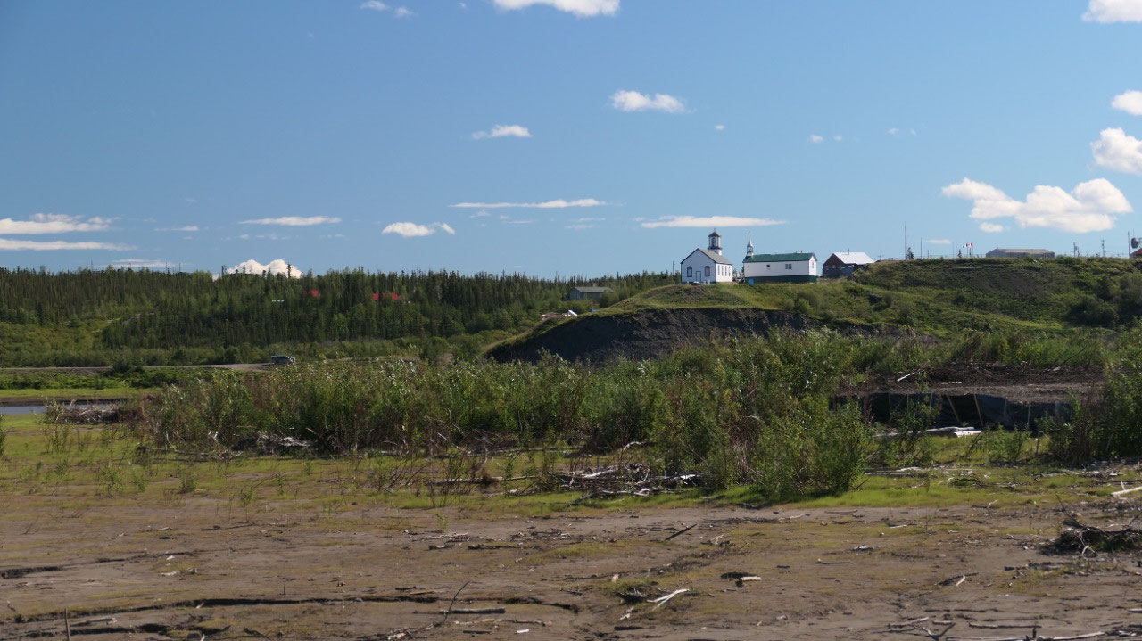
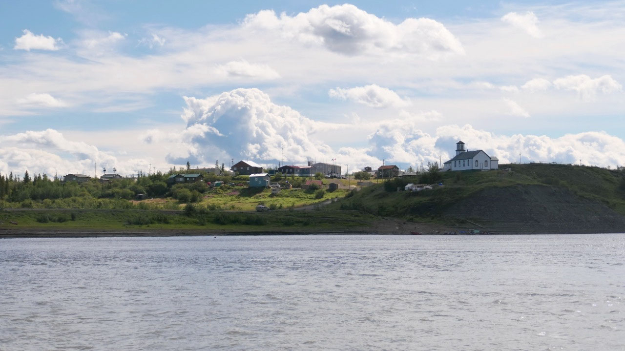
And first the ferry headed over to Tsiigehtchic – where the car going off had
to back off the ferry and then we headed to the other side of the Mackenzie
river. With the super blue sky it was warm and super fun.
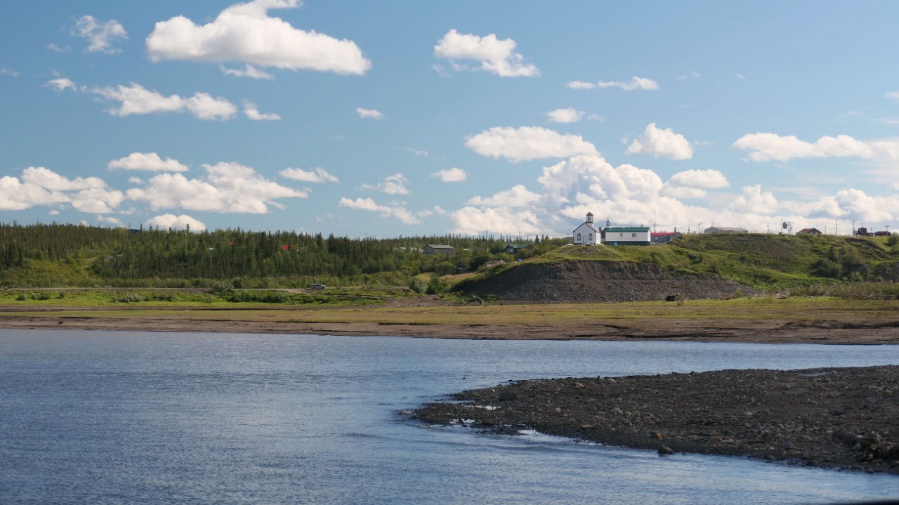
- Tshiigehtichic means “mouth of the iron river” and is a Gwich’in community – from here the hunt for the Mad Trapper started, the little church was built in the 1800s by the Oblate Fathers
- Here the Arctc Red river and the Mackenzie meet, the Arctic Red River is a Canadian heritage river
- By the way the ferry in average runs from June 2 – Oct 25 and the ice road crossing is in average open from Nov 23 – Spr 22
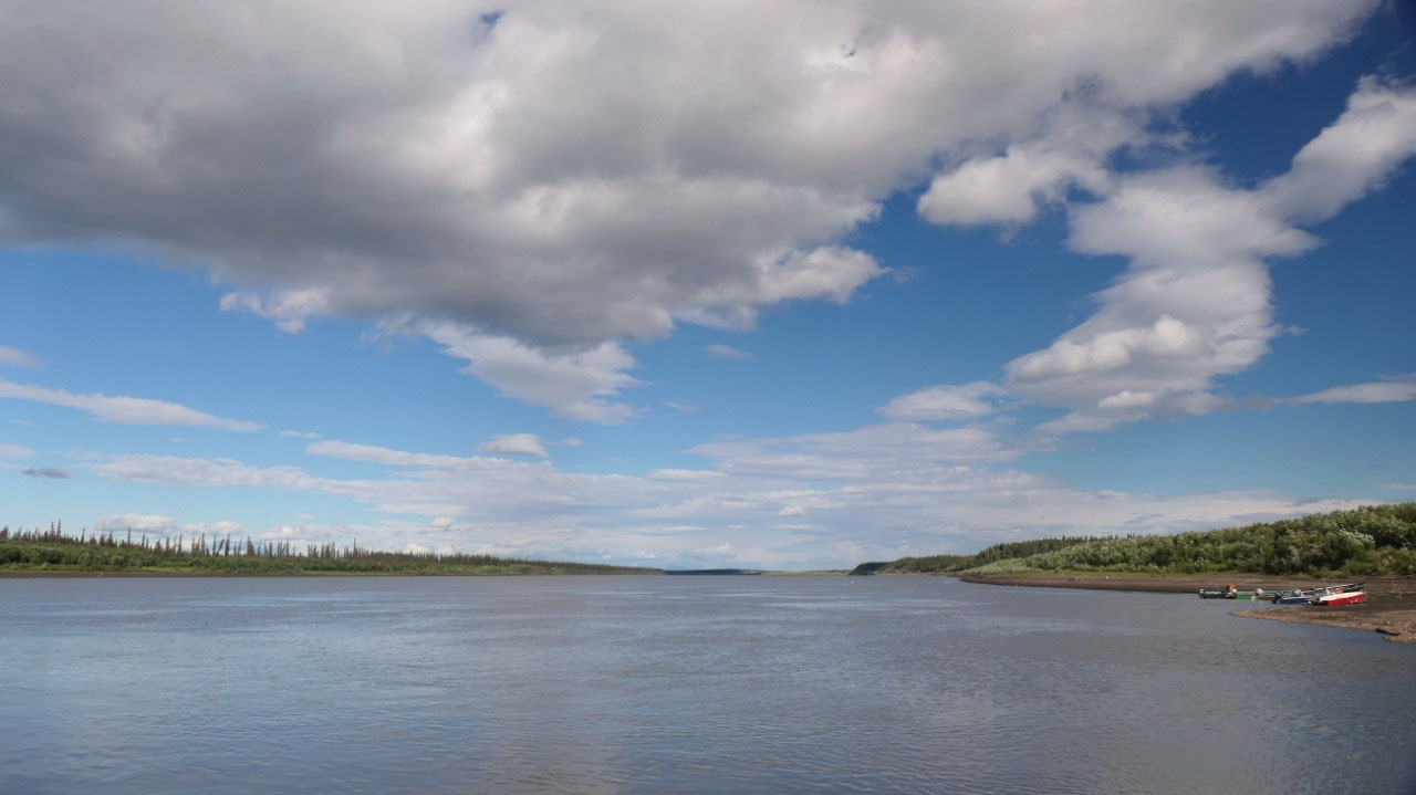
The longest river in Canada: MacKenzie
river
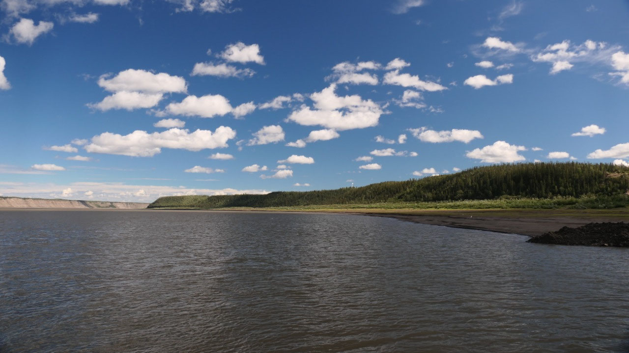
- The locals call it the Deh-Cho: the big river or the great river
- It is the longest river system in Canada: 4241 km long it ends up in the Arctic Ocean the Beaufort Sea and it is the 13th largest river system in the world – it runs for 1738 km in the NWT
- It is the 2nd largest drainage basin in North American (after the Mississipi): and spills between 2180 m2 to 35000 m2 per second – the drainage basin is nearly 20% of Canada 980.000 km2
- The average flow rate it 9910 m2/s (the 2nd largest in Canada after the St Lawrence River)
- The main source is from the Great Slave lake and the Thutade lake in Northern BC, as well one source is from the Athabasca river
- The river is frozen for most of the year the ice breaks around mid-May in the south and early June in the north and feezes by late October
- It was a major route into Canada’s northern interior for European Explorers
- Alexander Mackenzie travelled the river in the hope that it would lead to the Pacific ocean and reached on 14 July 1789 the Arcric ocean: he named it at that time “Disappointment River” – the next European reaching the mouth of the river was Sir John Franklin in Aug 1825
- In the Mackenzie Delta the soil is warmed by the river water and the active layer is relatively deep and trees are tall – active layers are also deeper on southern slopes
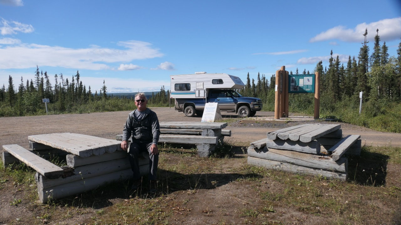
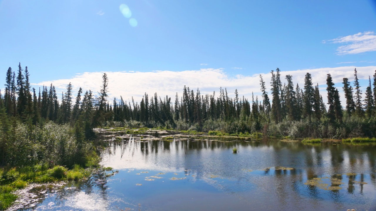
Coffee at a gravel pit
And again: a time change: that means
it is coffee time – and we find a pullout on a gravel pit above a river: Mandy
is super happy and rolls around in the black shale stones – we enjoy the view
and the sunshine – a perfect spot to relax for a bit.
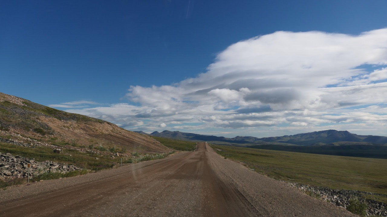
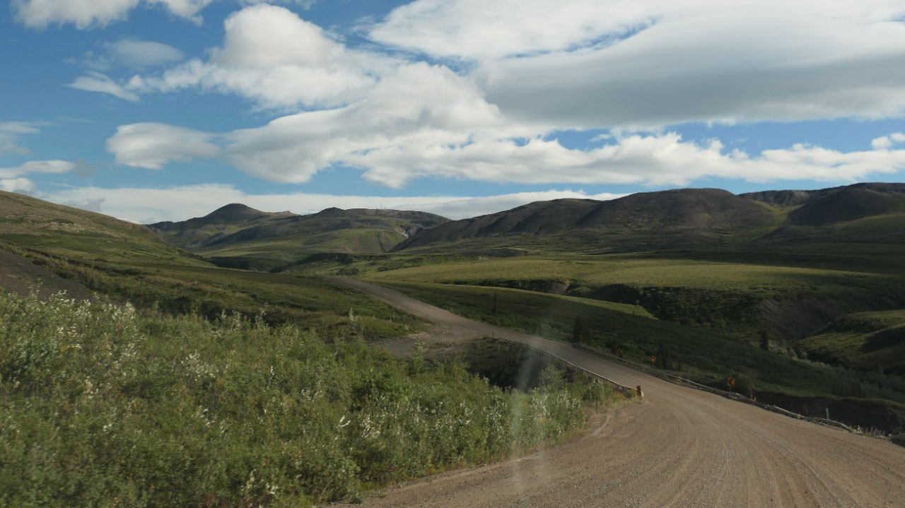
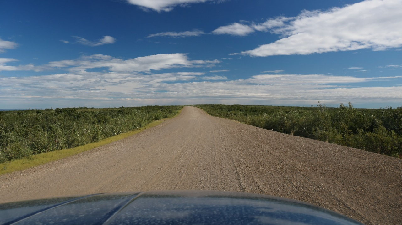
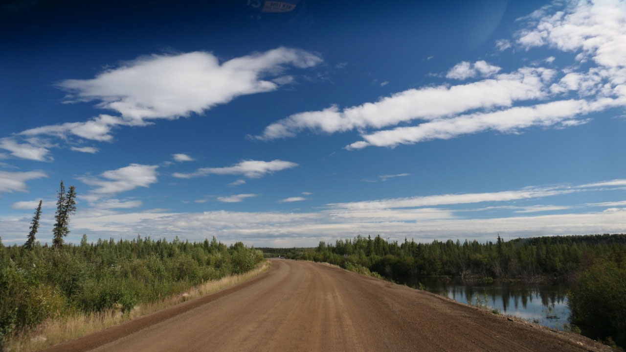
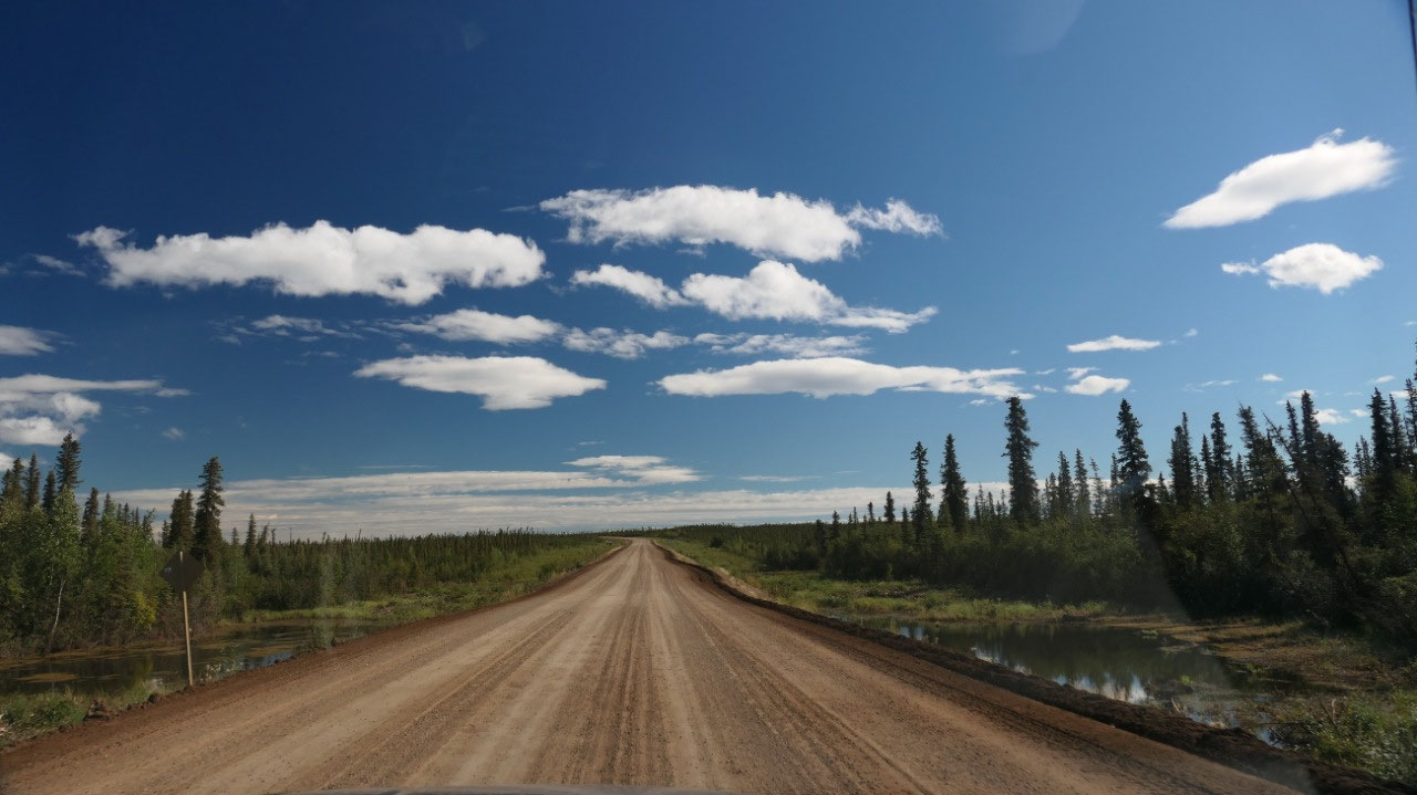
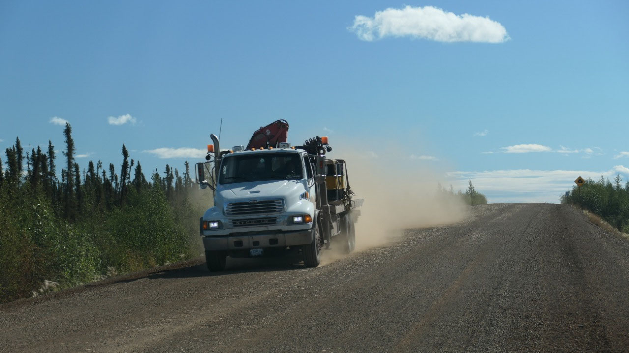
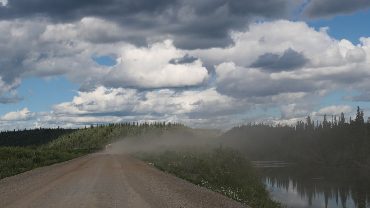
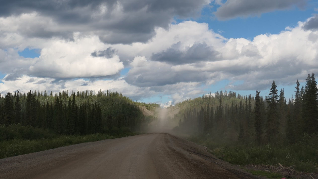
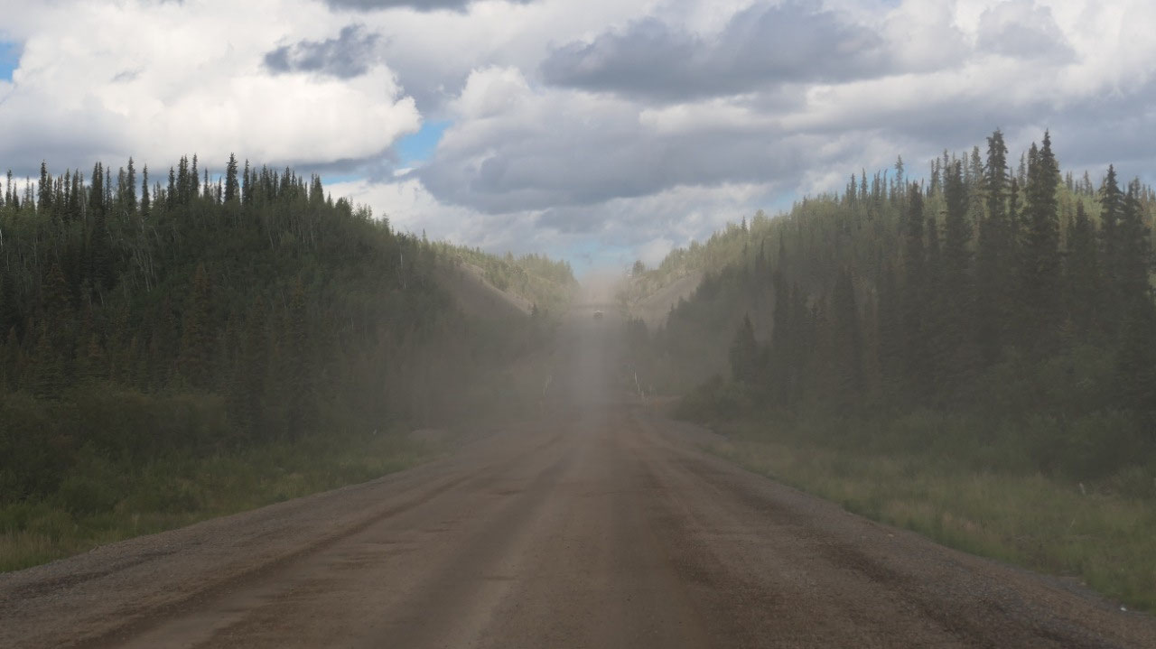
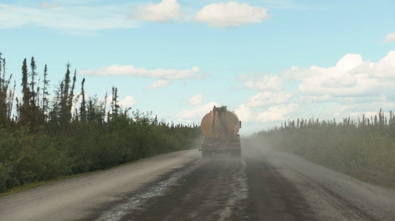
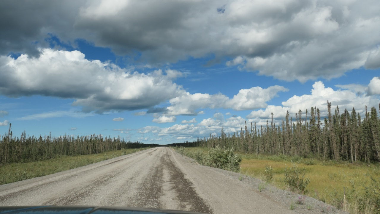
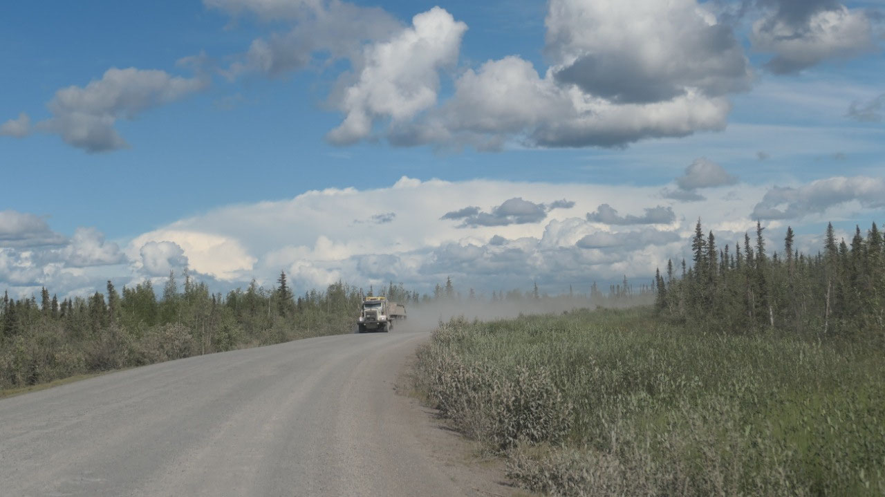
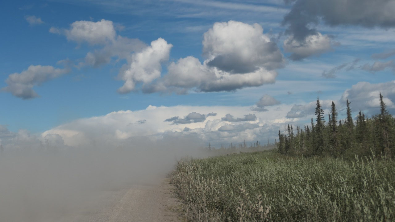
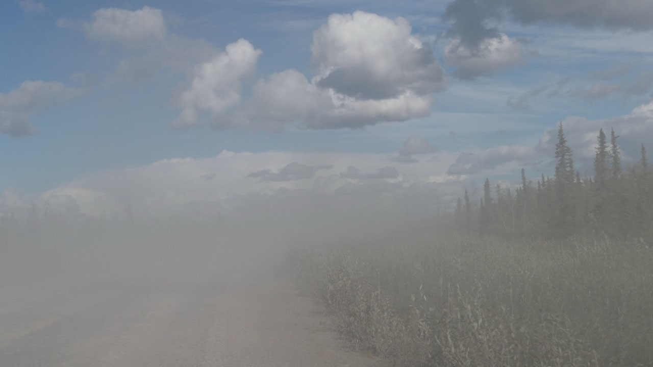
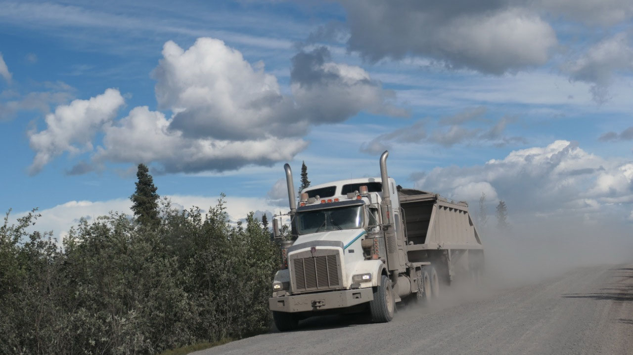
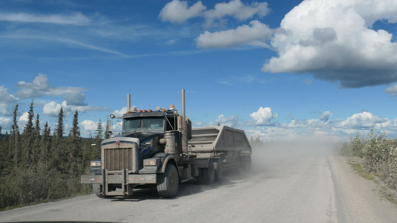
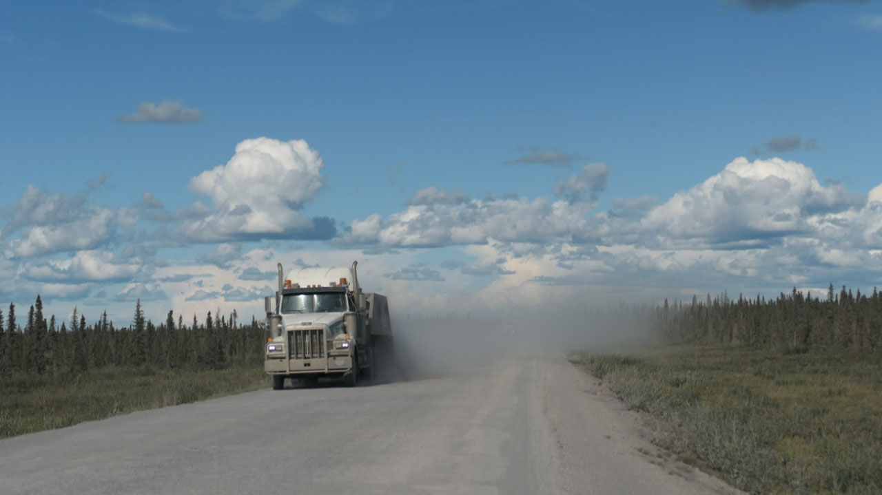
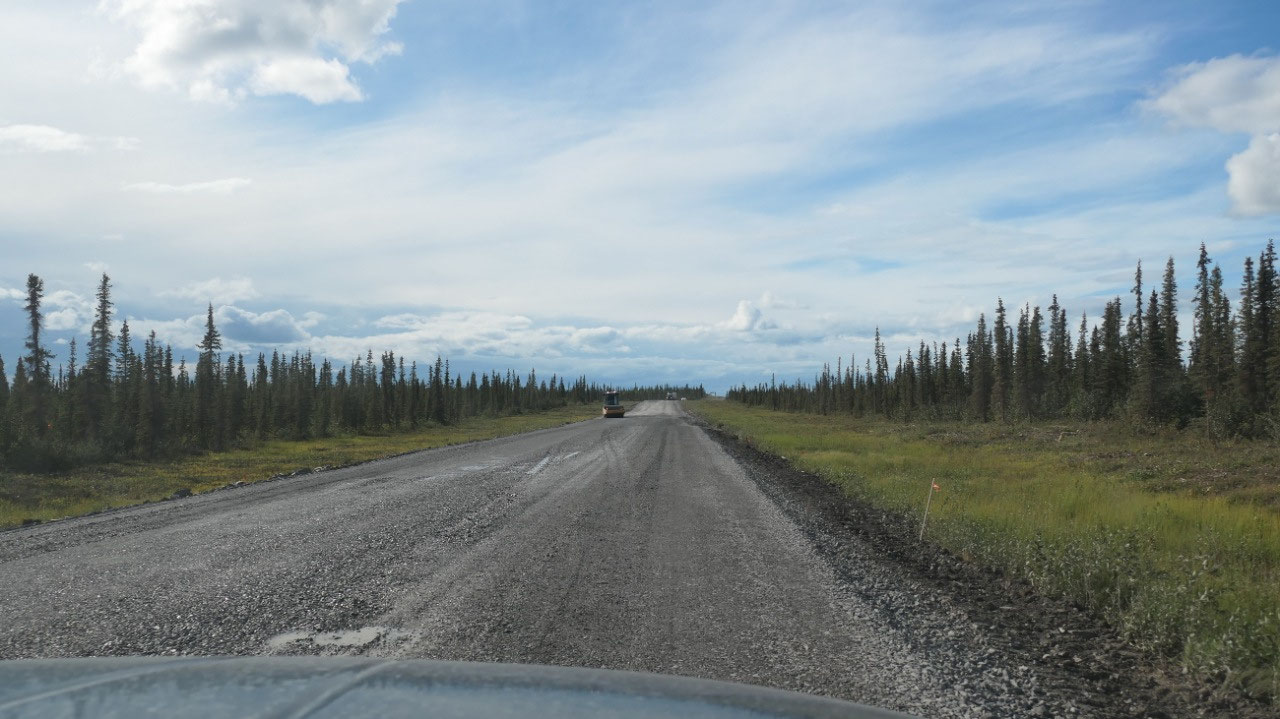
Trucks and dust
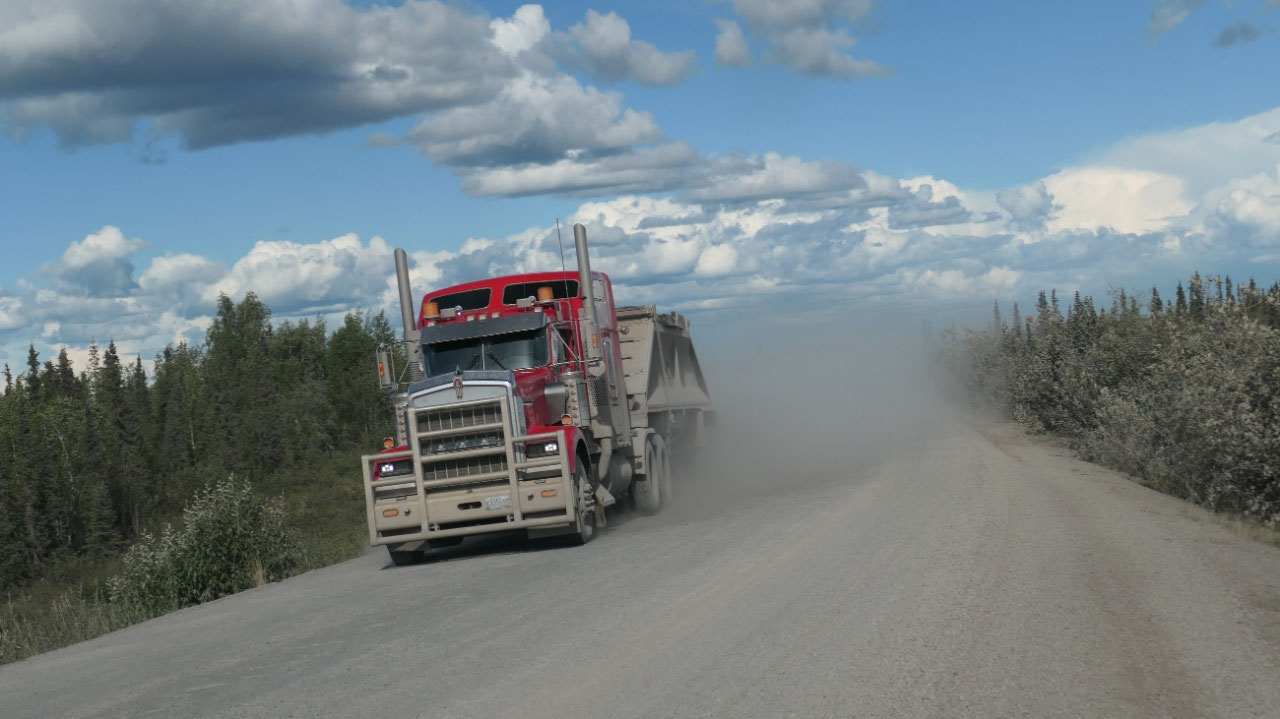
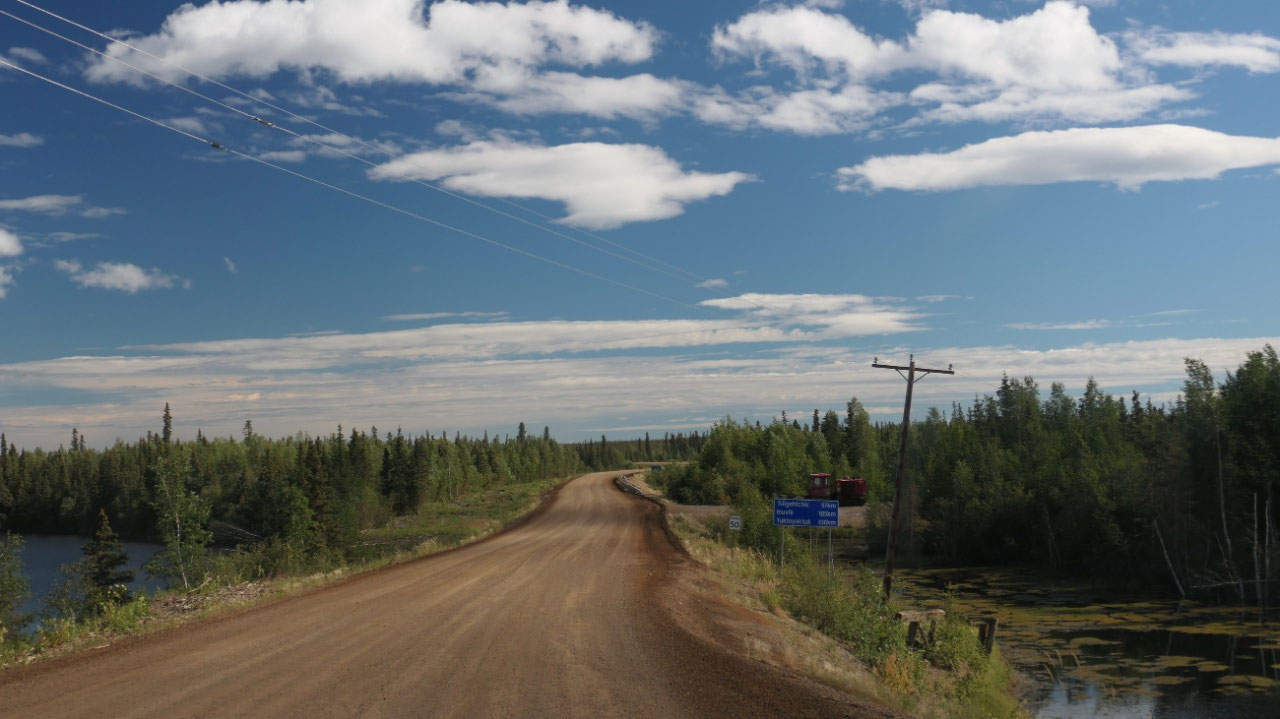
Actually, the road from here to Inuvik
was in a super good shape and we could drive fairly fast with 80 km/h except
Paul slowed down a lot of times, as the road is super super dusty and a lot of
construction trucks came towards us, each bringing a huge cloud of dust. The
best was when we came to a sign saying “End of construction” and right near it
was a red sign “flaggers” as the construction and loose gravel started right
there.
By now we are a long time on the road
and decided to do all stops on the way back and head straight to Inuvik.
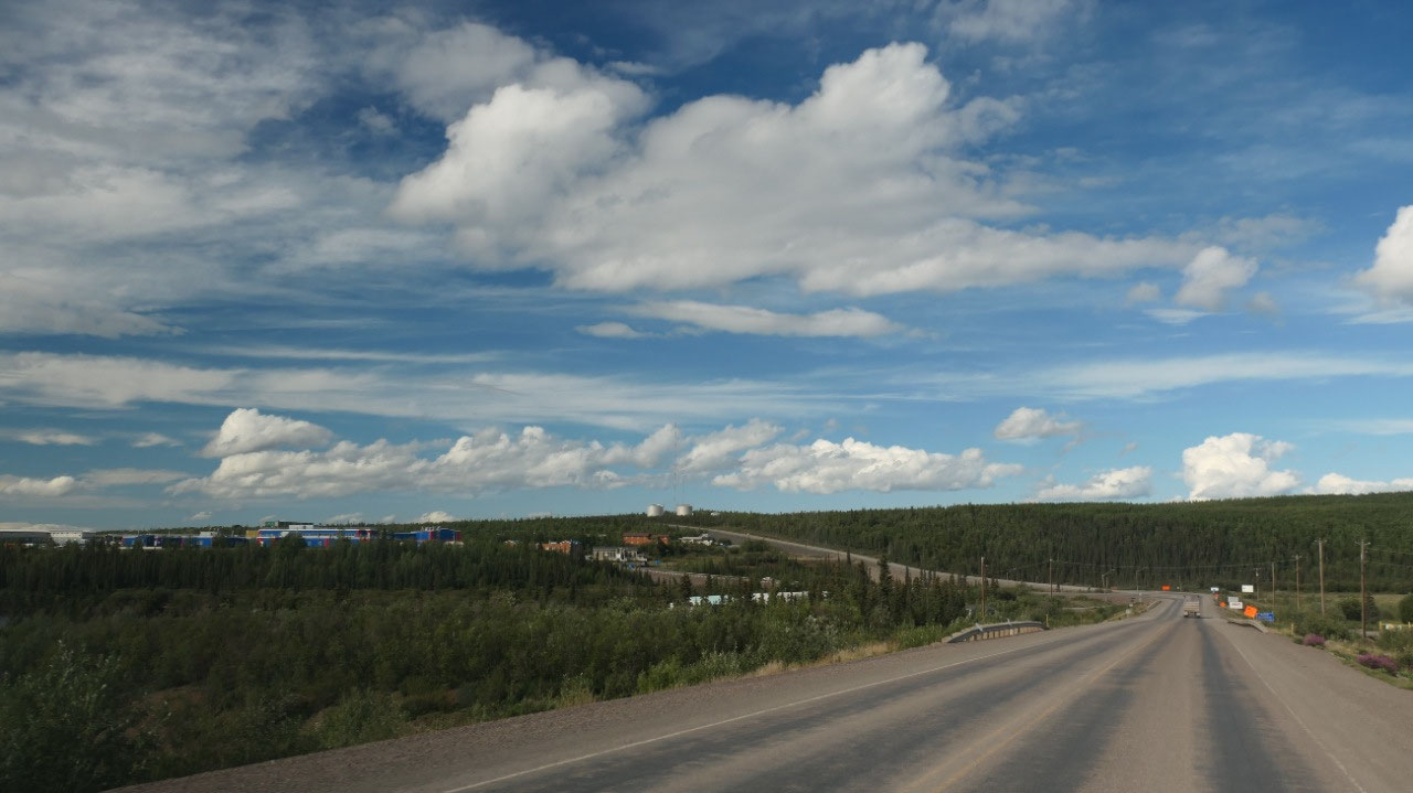
Pizza in Inuvik
And starting with the turn off to the
airport: the road is paved!!!! In our little Inuvik flyer we read that “hitting
the pavement in Inuvik is like a first kiss”. We headed to the visitor info
which was still open got some info but didn’t take the time to check it all out
– as it was already 5.30, from here we headed towards the supermarket, checked
out the parking lot behind for possible overnight, then checked out the
campground which didn’t look appealing at all and decided it’s Pizza night: and
the place was packed full – we had a super yummy pizza tonight and stayed then
the rest of the evening in the parking lot with lots of traffic – yes we feel
like in the city.
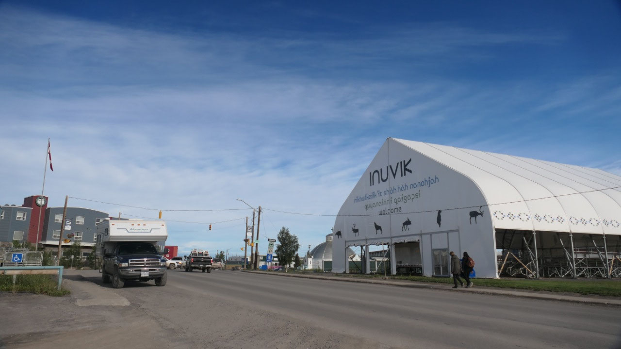
The town at the end of the Dempster:
Inuvik
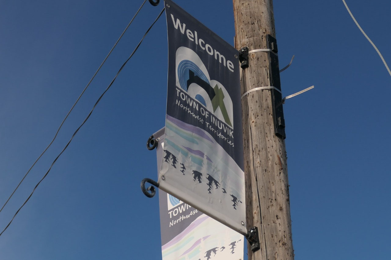
- Inuvik means “place of people”
- In straight line the Arctic Ocean is 90 km to the north and the Arctic circle 200 km to the snouth
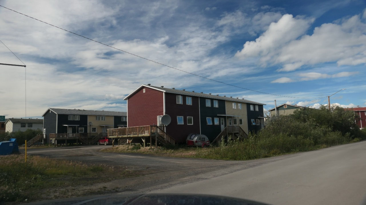
- With a population of 3400 it is a the most northerly town and on the East Channel of the Mackenzie Delta and also Canada’s largest community north of the Arctic circle
- It started in 1953 when they moved from Aclavik which got often flooded – the government plant it and
- Normally during July/aug it does not go below breezing, snow falls from Sept – May
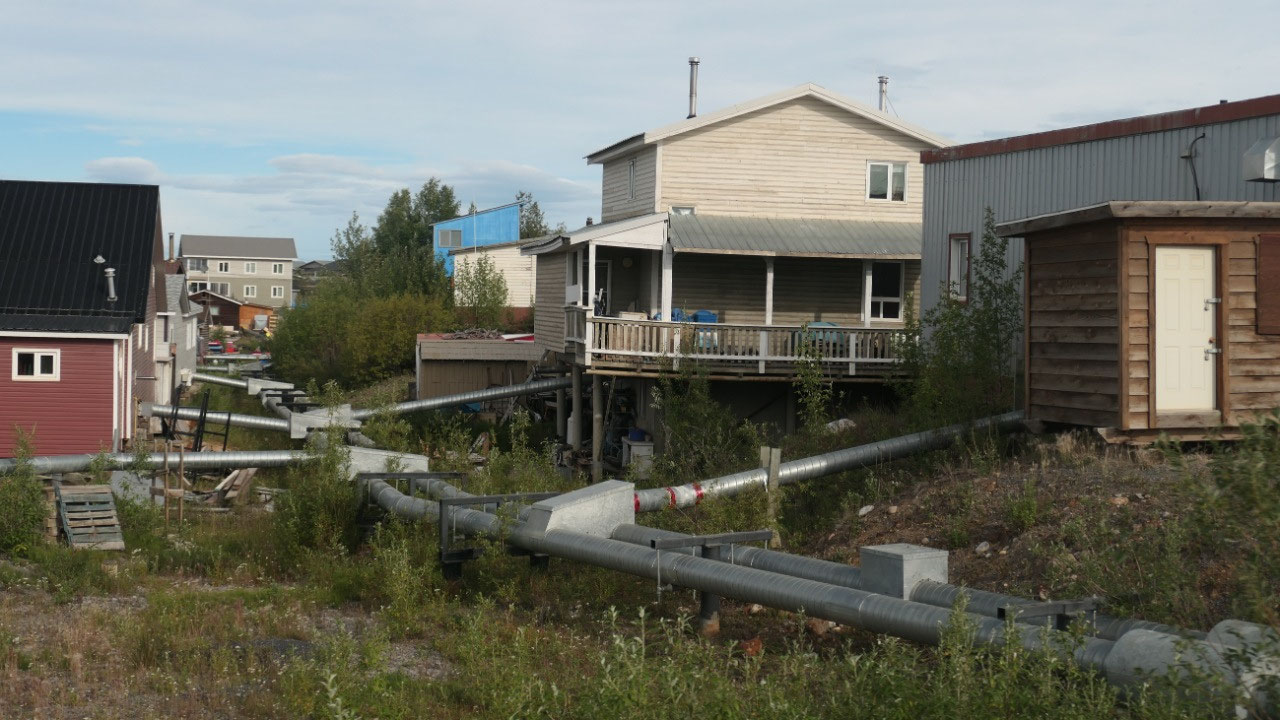
- Utilities are above-ground because of the permafrost and a lot of houses are raised to prevent damage from permafrost
- The locals say that Inuvik is so far north, that they have to look south to see the northern lights
- The Inuvialiut meaning “the real people” are desendents of the Thule people who settled here around 800 years ago
- The sun sets on Dec 5 and then returns on Jan 5: during this week they celebrate here the Sun returning festival
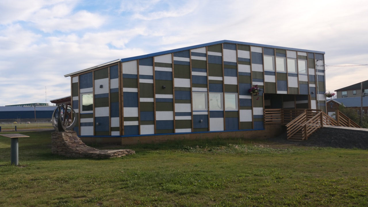
Checking out the highlights of Inuvik
This morning we wanted to check out
the highlights of Inuvik before heading out towards Tuk, and so we start with
walking over to the:
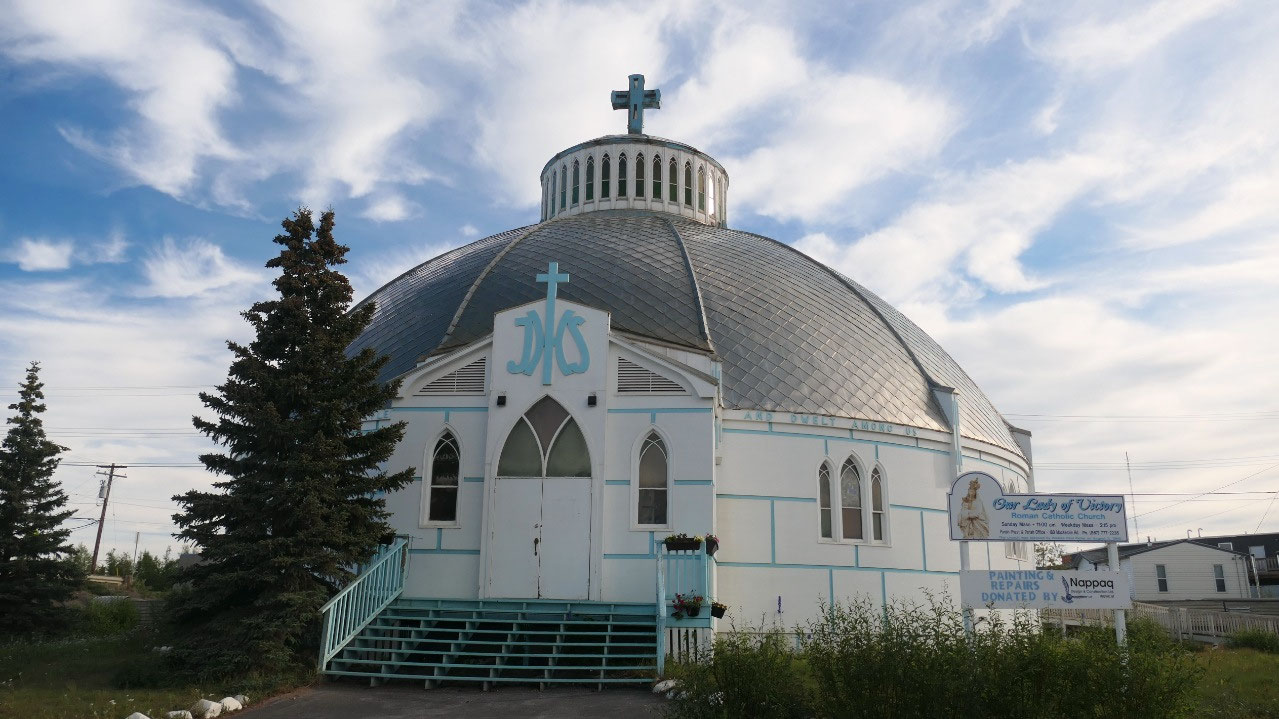
Igloo church: as you
can only go in with a tour – we decided to only look at it from the outside, it
is a super nice looking church like an igloo
- The our lady of Victory Parish – mostly called the Igloo Church. They built it without blue-prints and it got completed in 1960
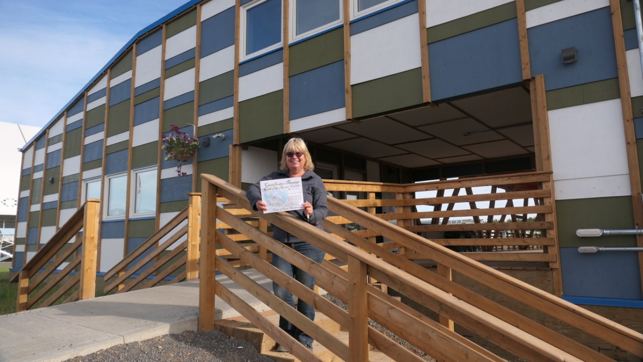
The Welcome Center: here in
Inuvik there is a Visitor info and a Welcome Center and here we got our
certificates, that we crossed the Arctic Circle
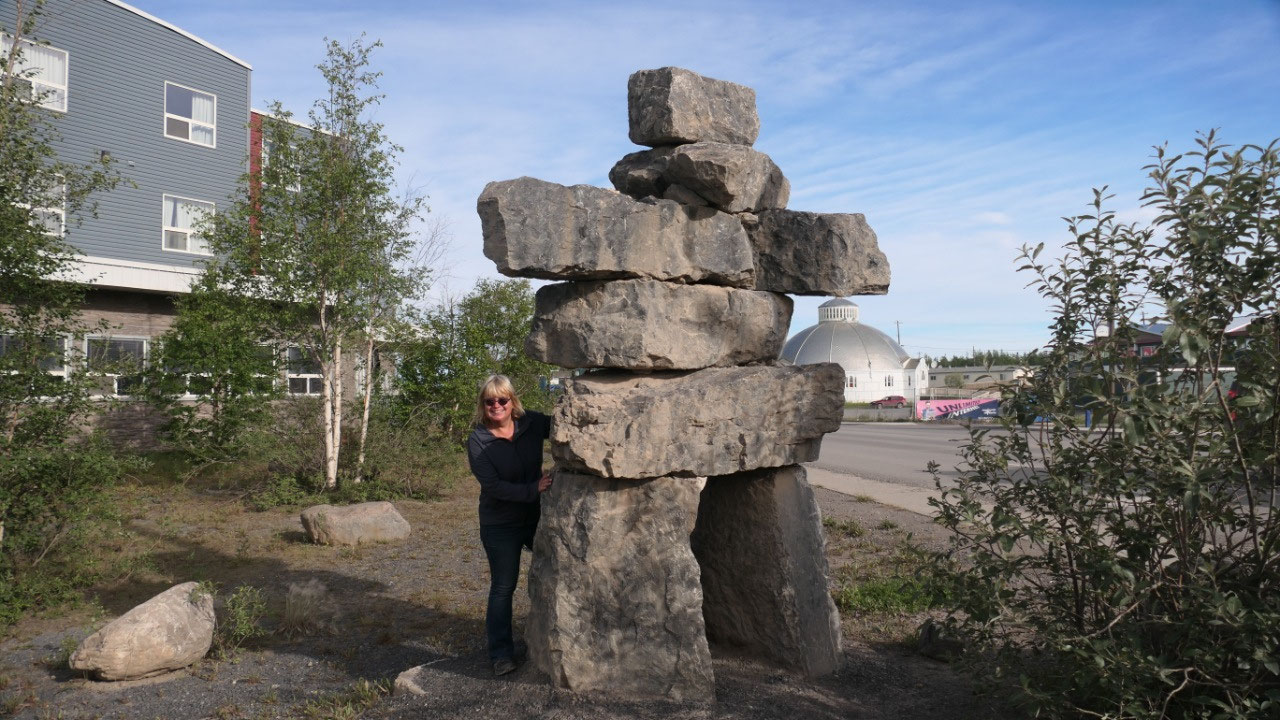
The Inuksuk: nowadays
they are popular everywhere but here is where they come from – to show you the
way – that means if there is one big one in town then we have to check it out
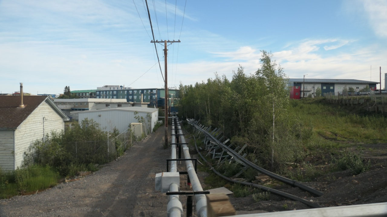
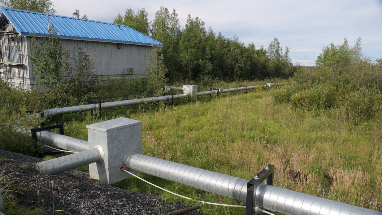
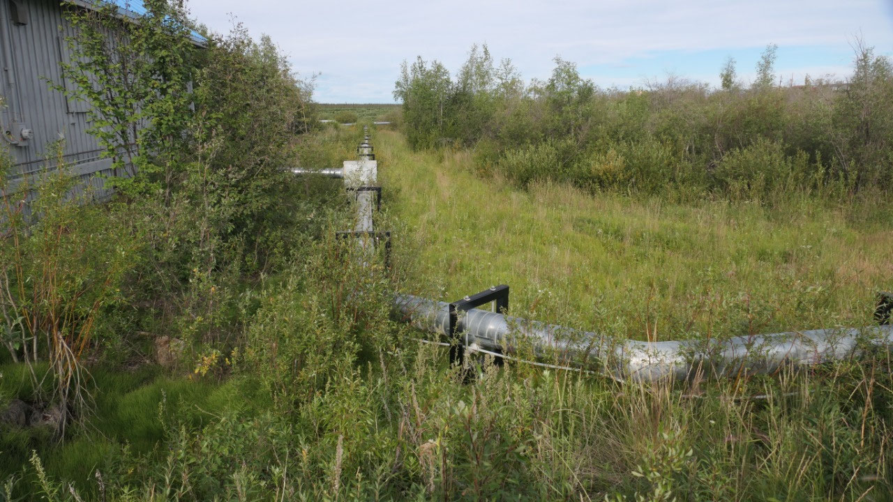
The above-ground-utility-pipes: as we
drove around the town, what always amazes us are the above-ground-pipes you can
see – this is so unique to the arctic.
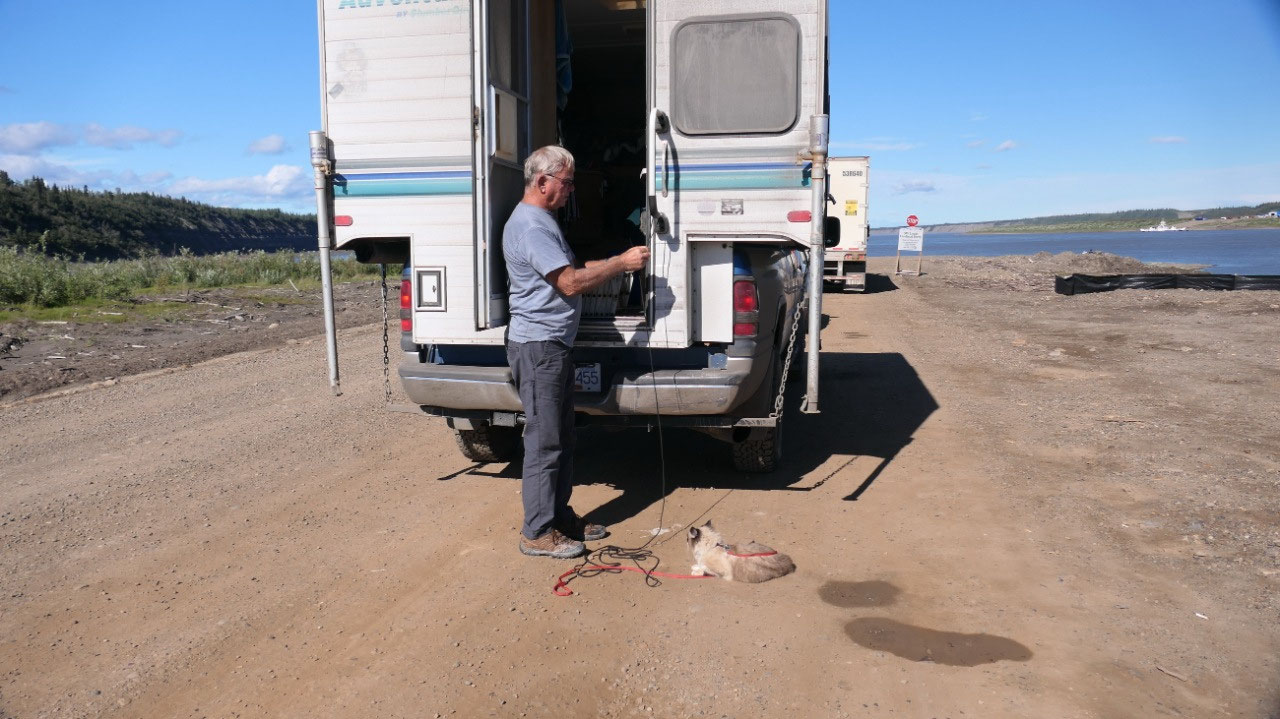
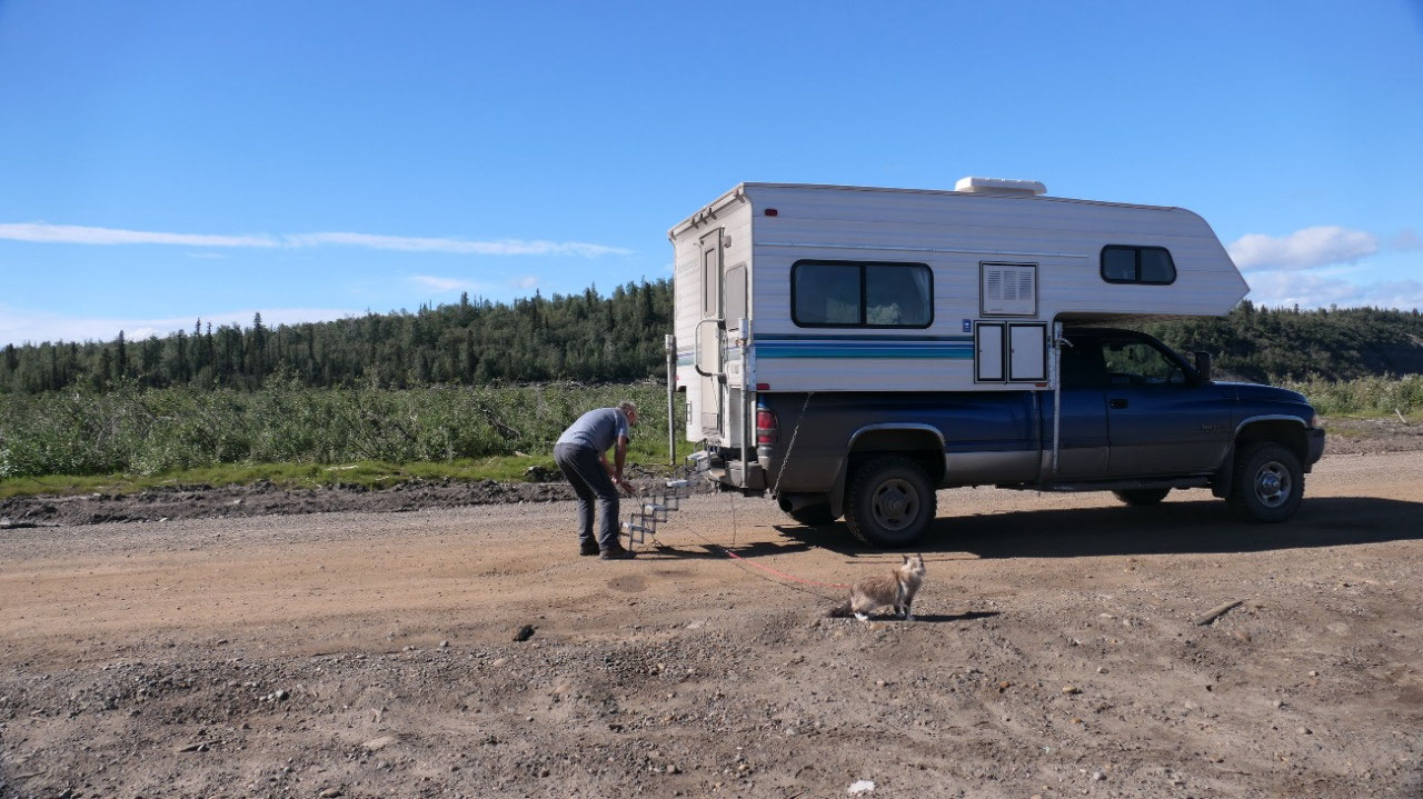
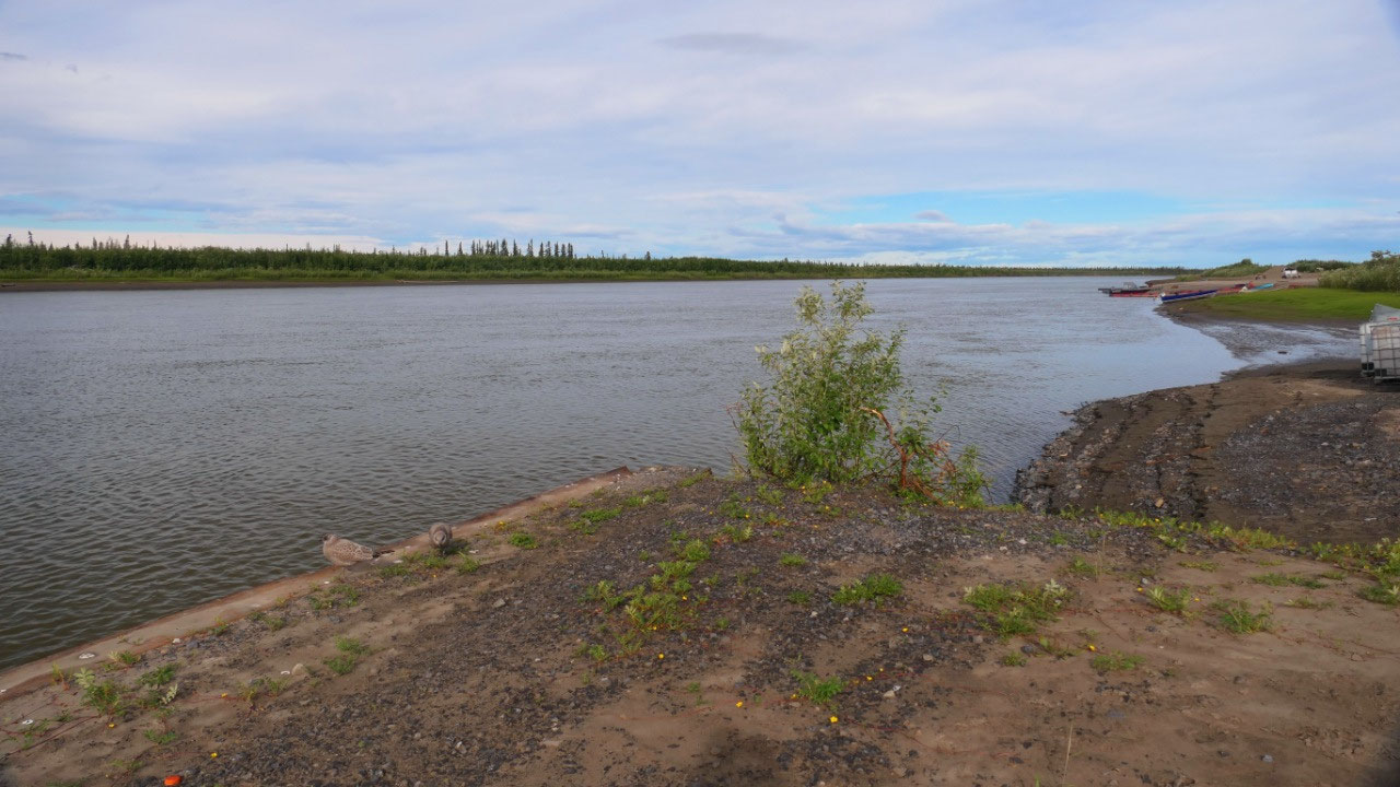
The Riverside Park: perfect
for Paul to repair the cap of our dump-hose (we lost it somewhere and found a
replacement at Home Hardware here), as where Gine went down to the McKenzie
River and checked it out. On the way out we drove by the loghouse.
- The loghouse is the largest north of the Arctic circle and is the Ingamo Hall – It’s made of 1000 logs which were floated down the Mackenzie River from Fort Simpson it got built in 1979 when the old Hudson Bay company ware house fall apart
Oh and let’s not forget we had to pick
up a sticker saying “I survived the Dempster Highway”
Also unique here are the stop signs:
as the word Stop is also written in two different first nations languages – and
as we headed out of town we discovered that even on the radio station they talk
sometimes a first nations language.
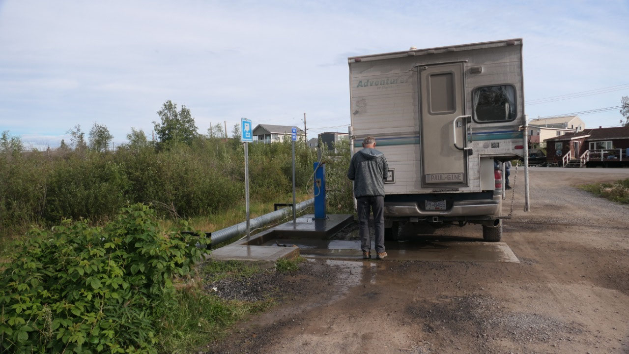
Dumping: is free !!! yeah!!!! And here
we talk with some more travellers heading north. Filling up at Bob’s Welder
station with gas and we are ready to go.


2025-05-22