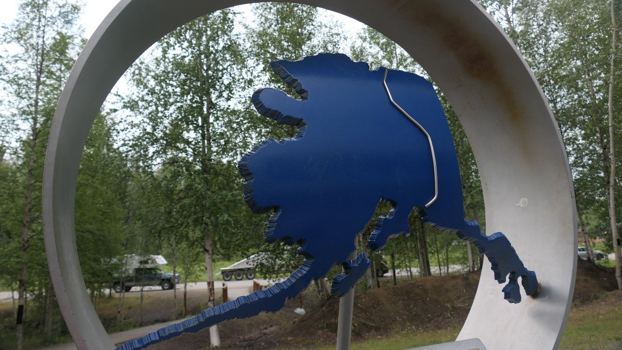
 Delta Junction, Alaska, United States
North Pole – Delta Junction
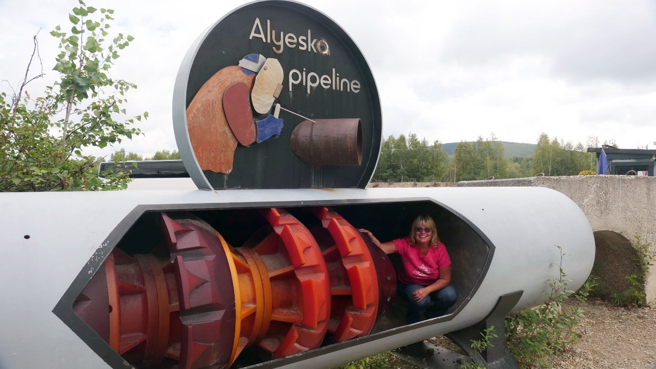
Breakfast near the pipeline
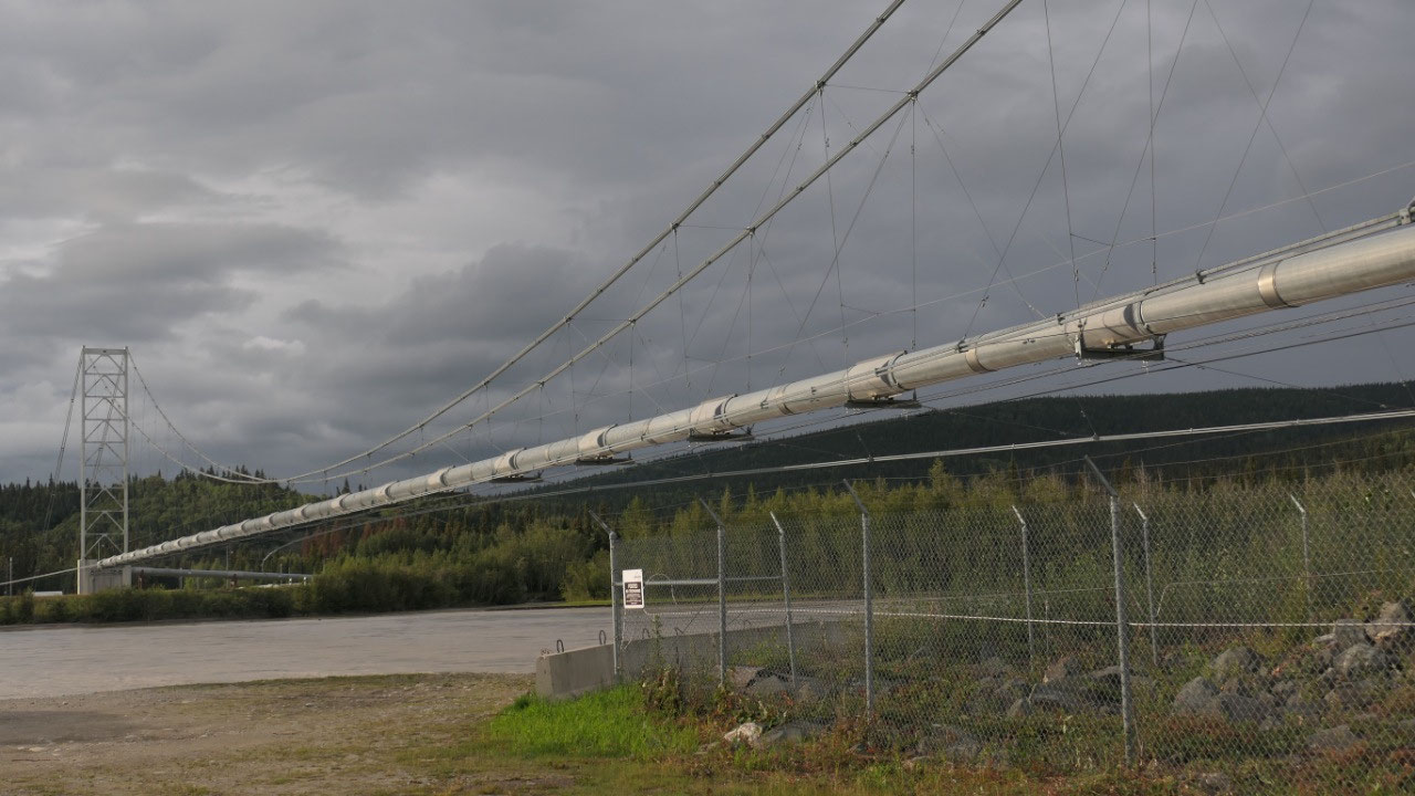
We drove towards the Alyeska Pipeline
viewpoint and had a super late breakfast: it was 11 am!!!!! Ok we also had to
do some major clean up as we left the top cupboard open and a lot of our dishes
jumped out and on the floor and the porcelain bowls did not survive and we had
some glass-piece clean up to do.
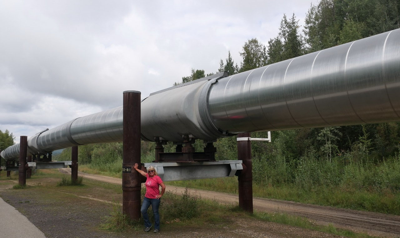
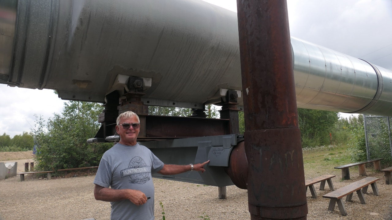
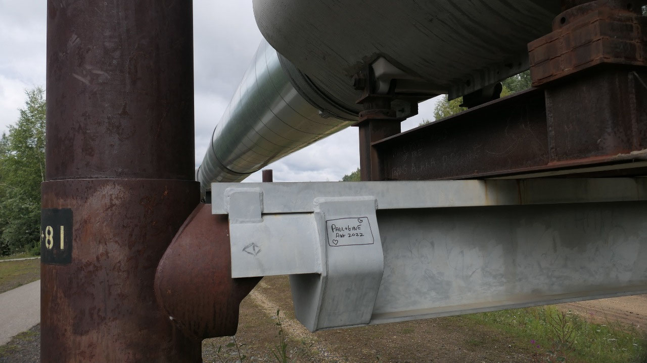
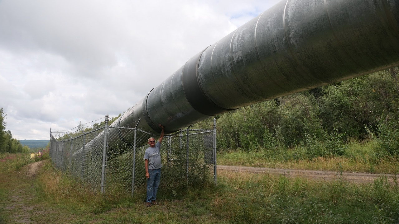
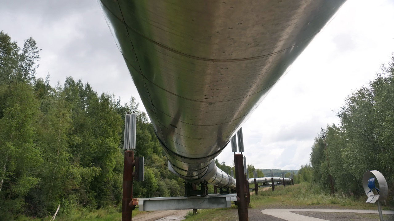
What is cool we could walk right over to
the Pipeline which is here above ground and then a bit down it goes into the
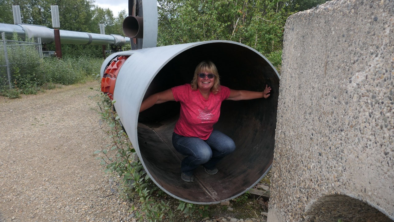
ground – kind of cool to see. We also had fun checking out the “pigs” and
learning a bit more about the pipeline.
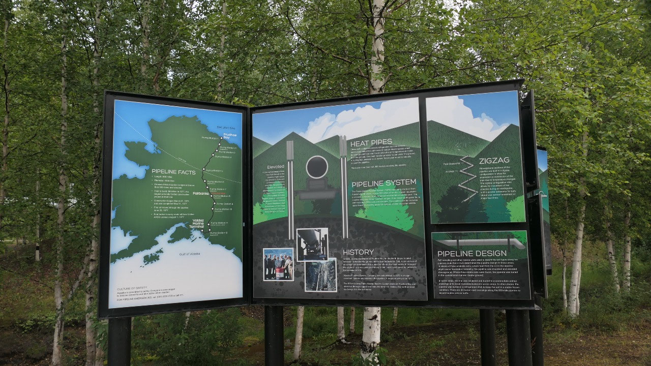
The Alaskan Pipeline: TAPS =
Trans Alaska Oil Pipeline
- The pipeline is 800 mile long and goes from Prudhoe Bay to Valdez: we are at Mile 450 – the Dalton Highway runs along the northern part and it’s 48 in wide
- It crosses 3 mountain ranges and over 500 rivers and streams
- Oil was discovered in Prudhoe Bay in 1968 and they had the problem on how to bring the oil to the market, it was impossible to transport by tankers because of the sea ice. It was a long battle but in 1971 they got the permission to built, even more discussions happened the oil crisis in 1973 prompted the Congress to clea a legal path
- They built in from 1975-77 and cost 8 Bill $: this brought a boom to Alaska with high paying jobs – the first oil run in June 1977
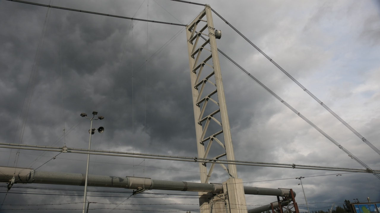
- In permafrost areas where the oil in the pipeline may thaw the ground (which would make it unstable) the pipeline is insulated and elevated (like we see it here): the supporting pillars are in the ground and contain heat pipes to remove heat to keep the ground permanently frozen: the heat pipes contain pressurised anhydrous ammonia and carbon dioxide gases which transfer ground heat into the air, when the air is cooler than the ground: there are over 124.000 of those heat pipes along the pipeline
- The above sections are built in zig-zag to allow for expansion and contraction during temperature changes and to allow movement during an earthquake
- Between 1977 and 2010 more than16 Bill barrels of oil were transported through the TAPS, 1988 was a peak with 2 Mill Barrels of oil per day: at this flowrate it took the oil 4.5 days from Prudhoe Bay to Valdez – as where in 2010 only 620.000 barrels of oil run per day and then it takes the oil 15-16 days to reach Valdez
- In 2011 they thought that around 40 Bill more barrels of oil are available at the North Shore
- Neither the cold winters nor summer wildfires have done severe damage and a 2002 earthquake of 7.9 along the Denali fault which runs beneath the pipeline caused minimal damagle and no harm to the pipeline itself
- The two biggest spills were human caused: once an error during maintenance and the other an act of vandalism
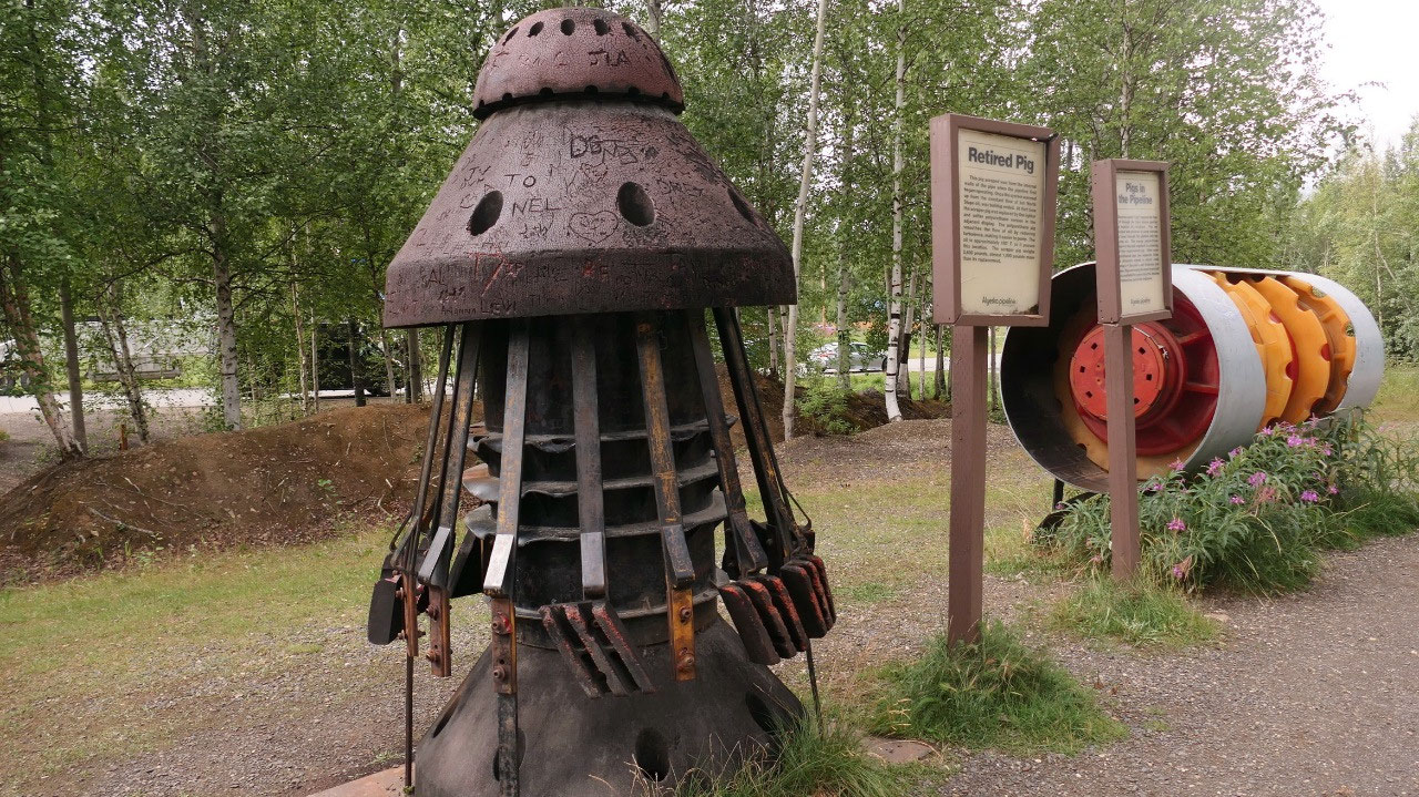
- The retired Pig: was scraping wax from the inside of the pipe, once the pipe run there was no more wax build up and this got retired and replaced with lighter once which smoothen the flow of the oil – when the oil passes through here it is at around 100 F. Pigs also monitor the conditions some of them can detect changes in the pipe wall thickness and shape
We didn’t find the dredge
Gine read that the Dredge #6 is only 2
km away and as we didn’t want to do a tour we were hoping we could still see it
– no such luck, there were 2 tourbuses and a train station – guess you have to
take the train to the dredge – but we did see a bit more of the pipeline.
Next stop is Fairbanks: some more
Walmart shopping, once more dumping (now it should last us until we are back in
Canada), then we stopped at McDonald where Gine had some trouble with the
internet and finally we had it done and filled out our Arrive Can app.
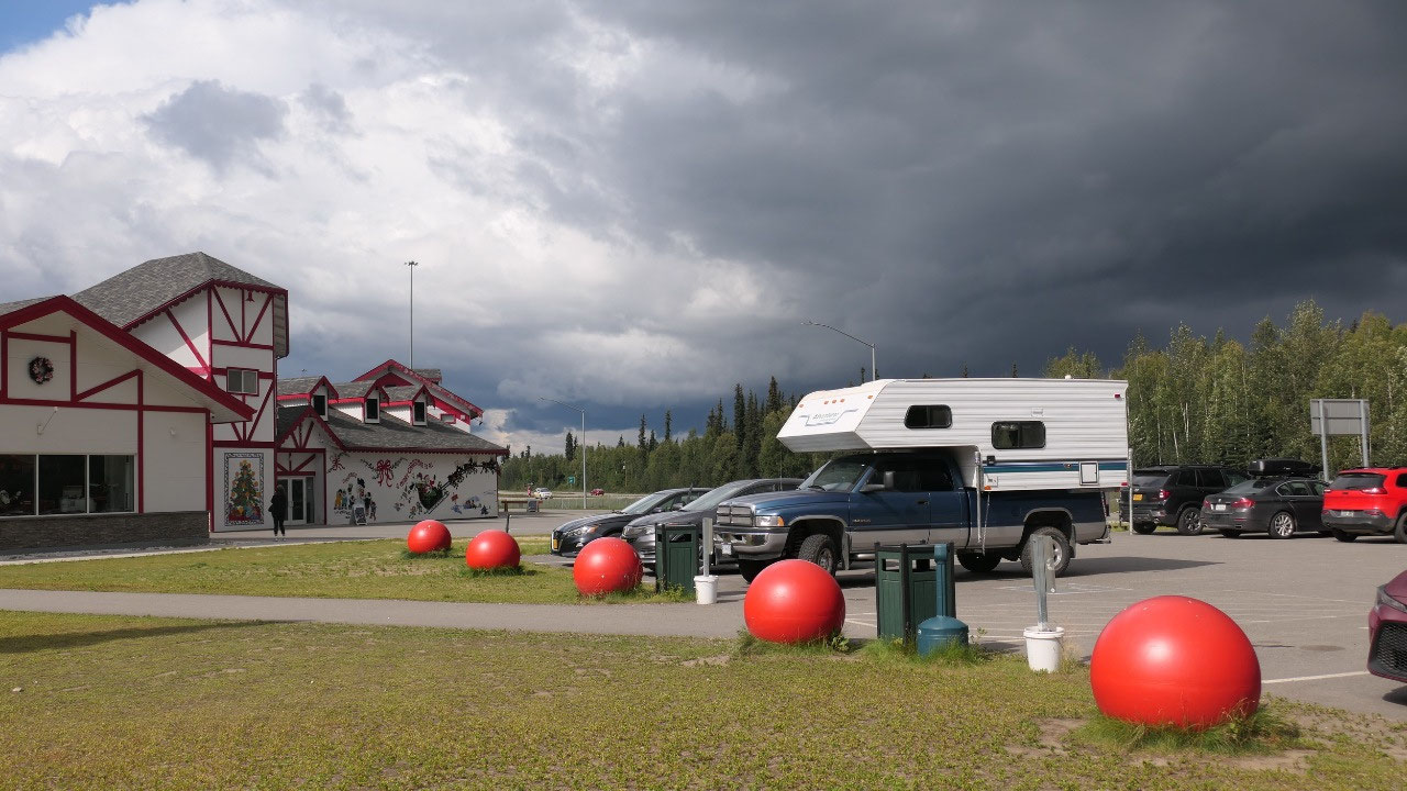
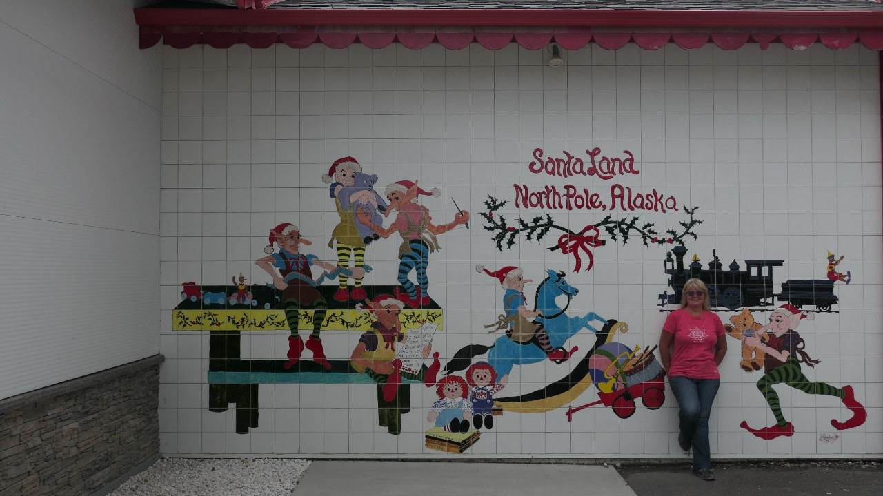
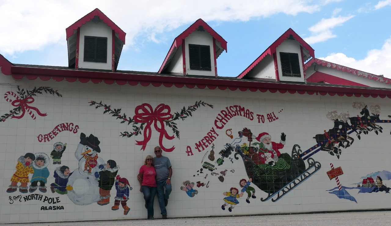
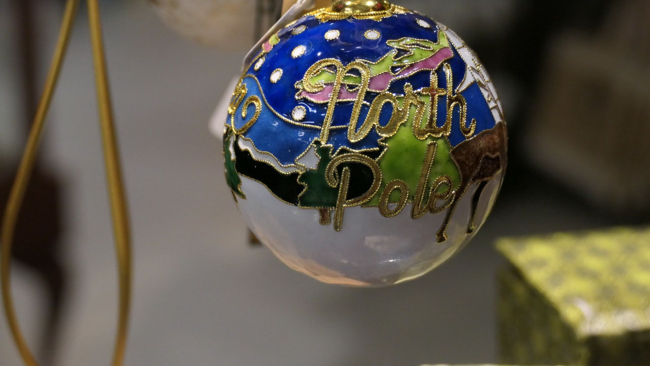
At the North Pole
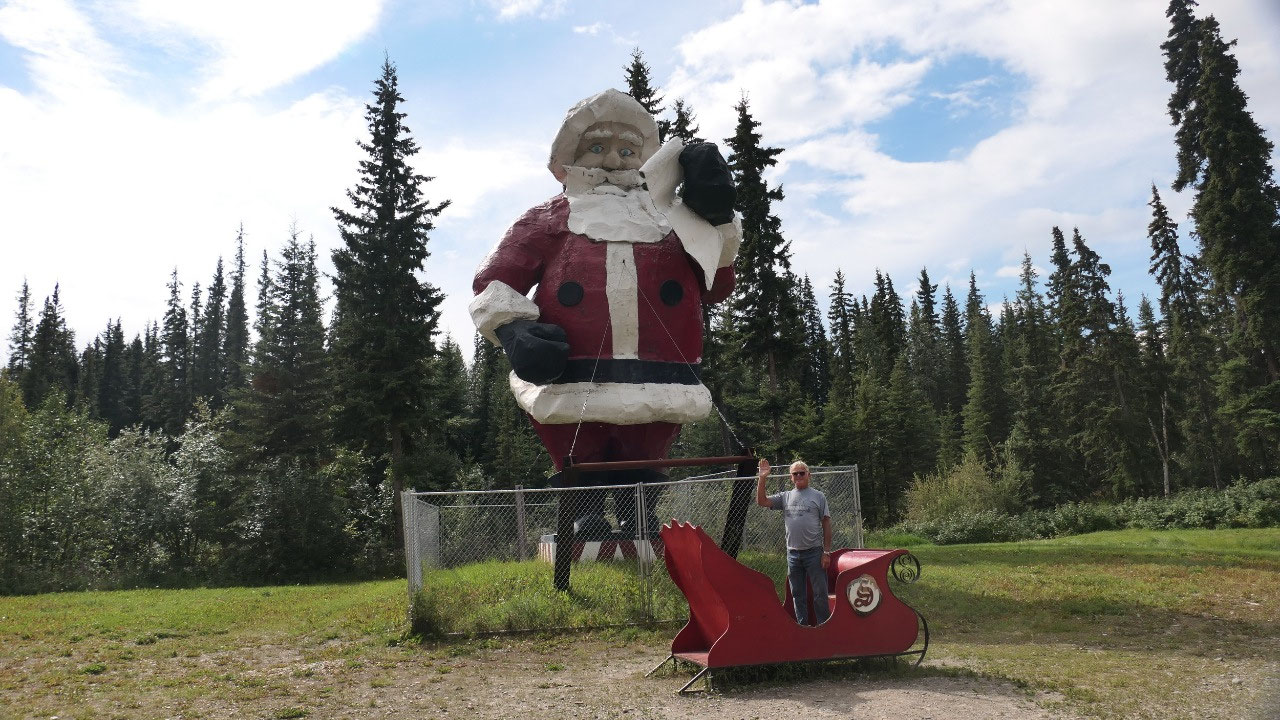
Finally we reached the North Pole:
- Even its called North Pole, it is 2700 km south of the North Paul
- The towns motto is “where the spirit of Christmas lives year around” – so there are candlestick streetlights and the street names also have christmasy names like Stant Claus Lane
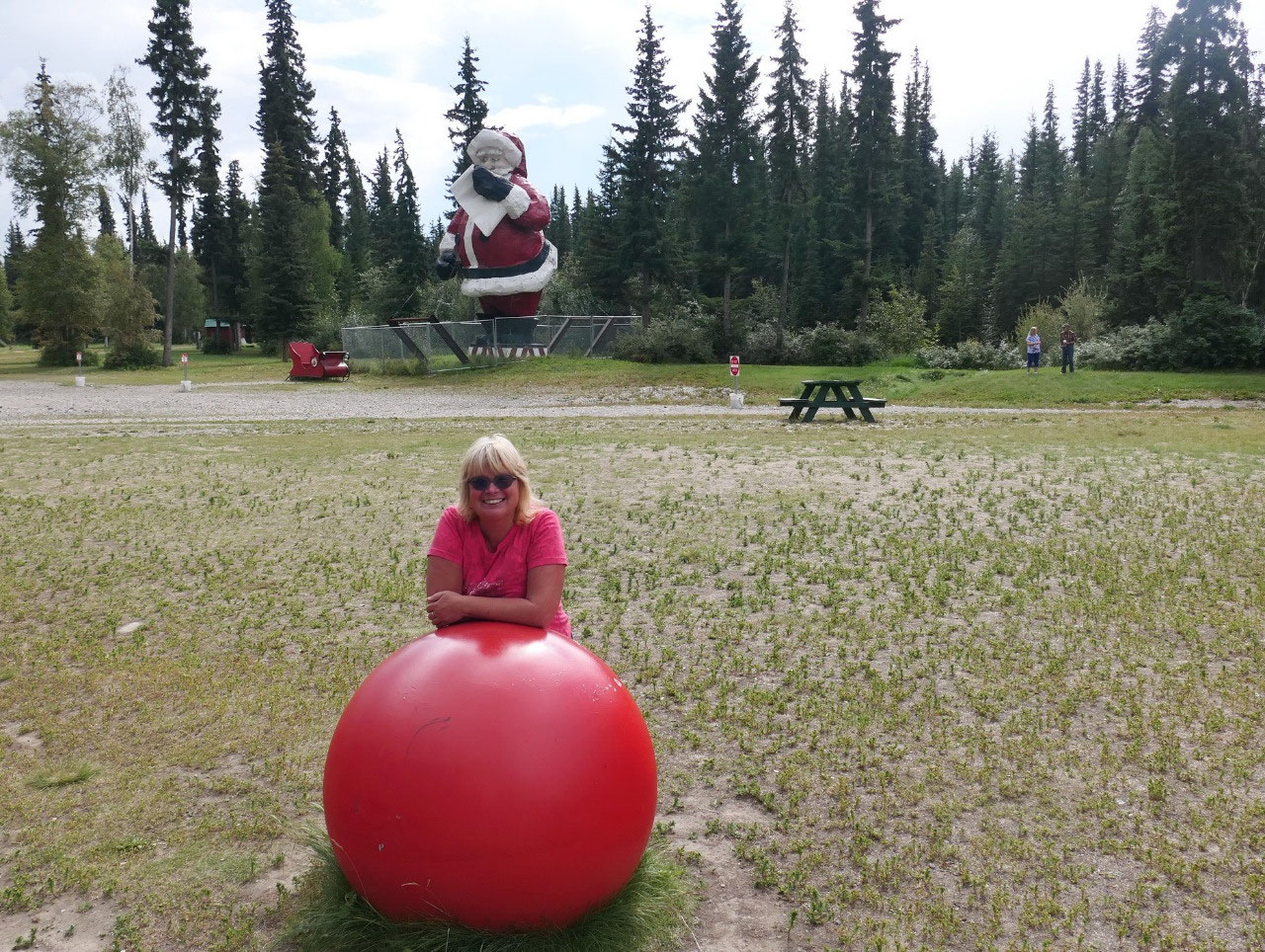
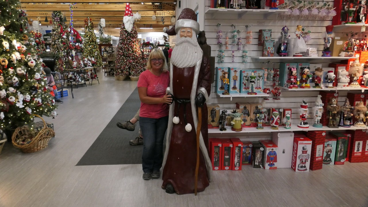
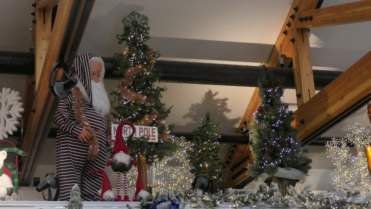
- Here us the world largest Santa Claus 42 ft tall, who stands here since 1983
- When Con and Nellie Miller arrived in the interior Alaska in 1949 they had 1.80 $ and two hungry children. He became a merchant and became Santa Claus in Witner. In 1952 he decided to built a trading post in an area called “North Pole”: one day a goy recognized Cona dn said “Hello Santa Claus are you building a house” – inspiration clicked and the store became Santa Claus House: at that time it was a grovery store, had a soda fountain and served as the first post office
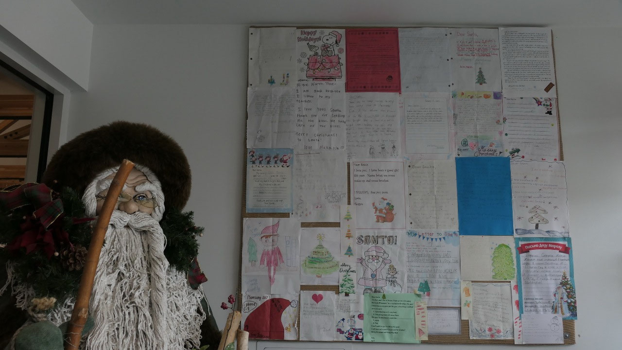
- They soon got discovered that people wanted to send letters from the real Stant in North Paul: millions of letters went from here to all over the world
- With the Richardson Highway the store got a new front and the world Large Santa 42 ft tall came: he was made in 1968 in Seattle for a holiday mall promotion and ended up here in 1983: by the way Santa’s sleigh is parked right in front of him
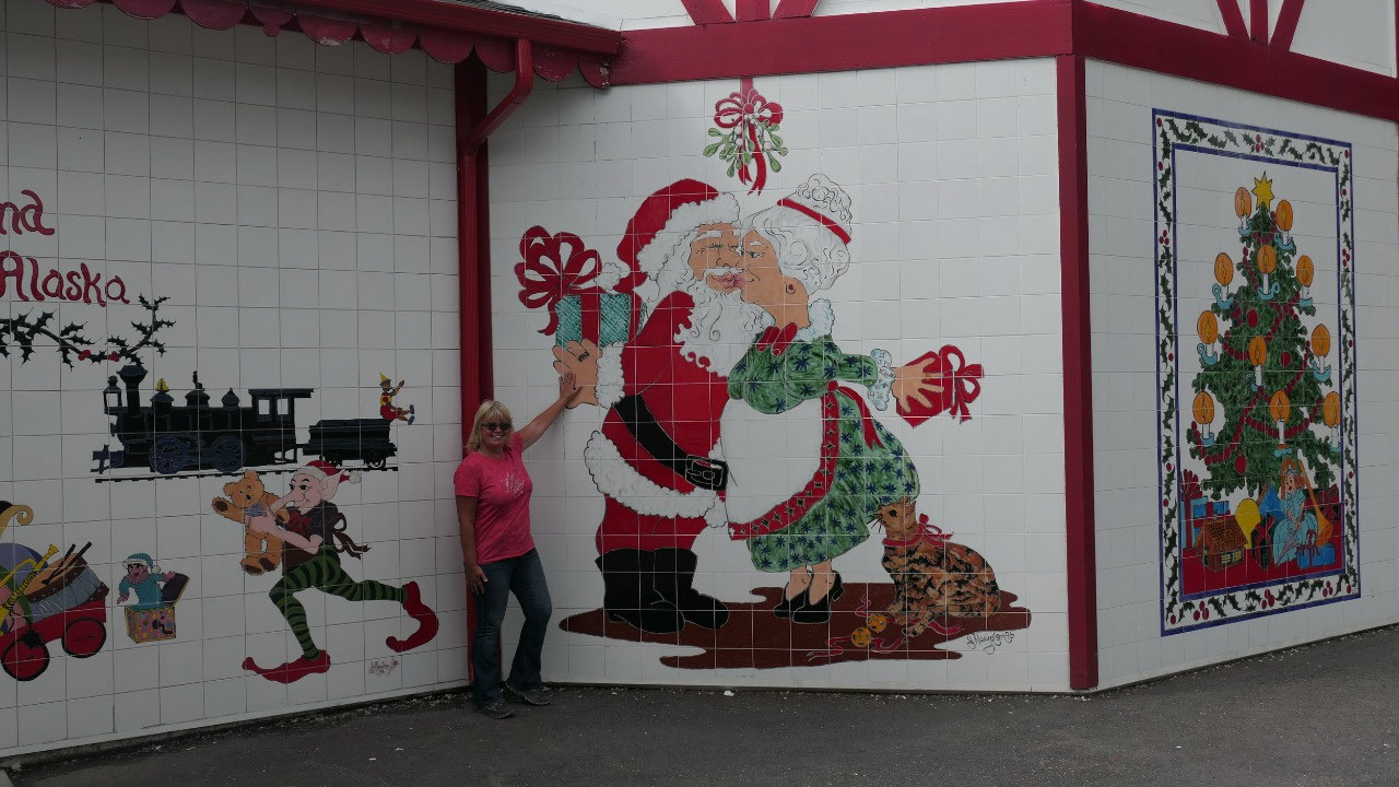
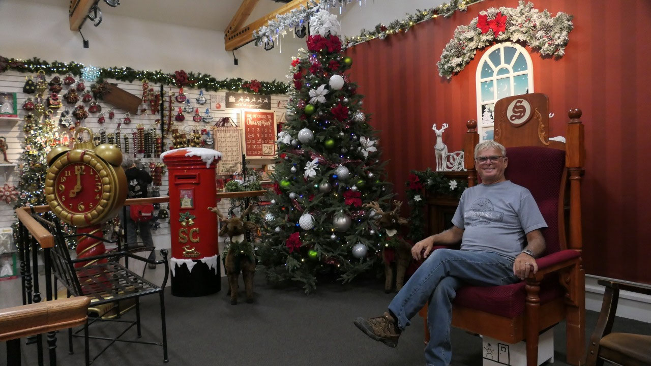
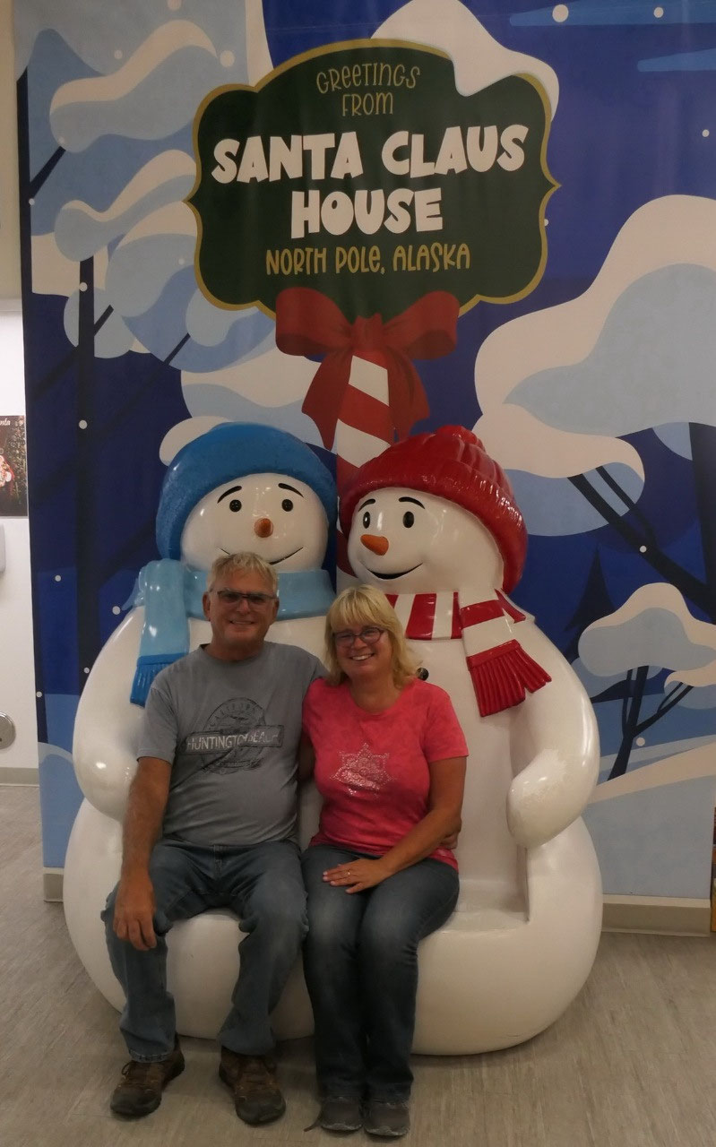
First we took pictures with the Giant
Santa and then with some Christmas Greetings in Front of Santa’s house – once
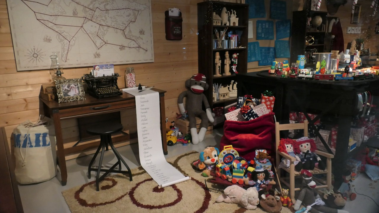
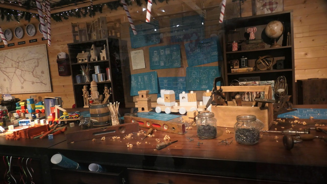
inside the huge Christmas gift shop, we had some more fun with getting pictures
for our this year Christmas card. We had a quick look into Santa’s workshop and
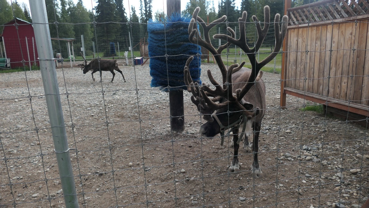
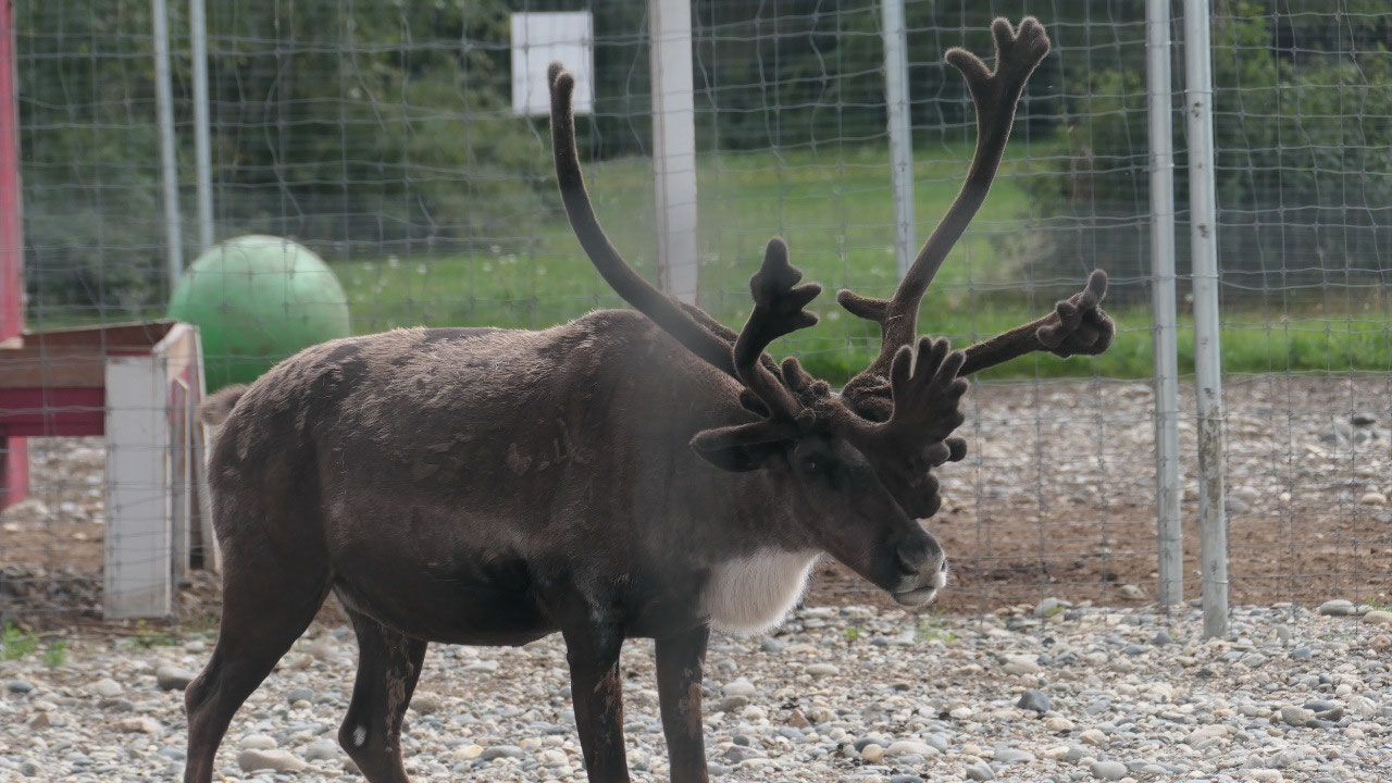
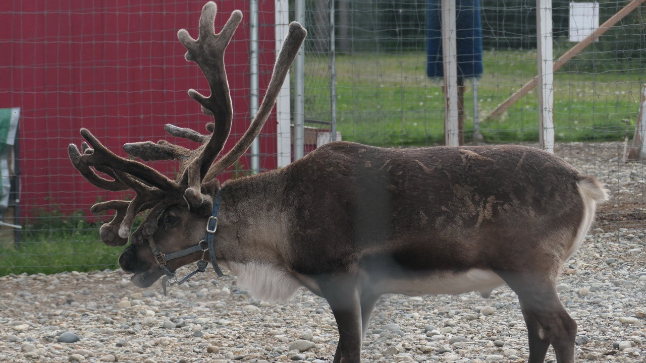
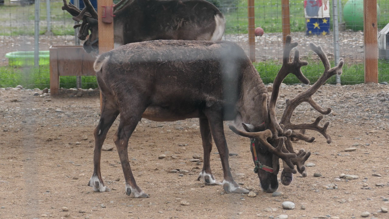
then walked over to the Antlers Academy: here you can see the reindeer – which
by the way have huge horns (we learned horns are permanent and Antler like the
moose they loose them every year). We already could hear the thunder and as we
wanted to have a nice coffee outside with Santa it started to pour rain!!! Time
to head out.
We drive by the F16
As we head south we drive by a huge
airforce runway with lots of F16 sitting there. The best thing is a sign says:
no parking, no stopping, no photography.
- The Eislon Air Force opened in 1943 and is named in honor of Cal Ben Eilson: an explorer and hero who pioneered aviation in Alaska, he was the first aviator to cross the Arctic Circle and landed an airplane on the North Slpe – he also piloted the first flight from North America over the Arctic ocean to Europe in 1928
- Here is the 2nd largest runway in North America
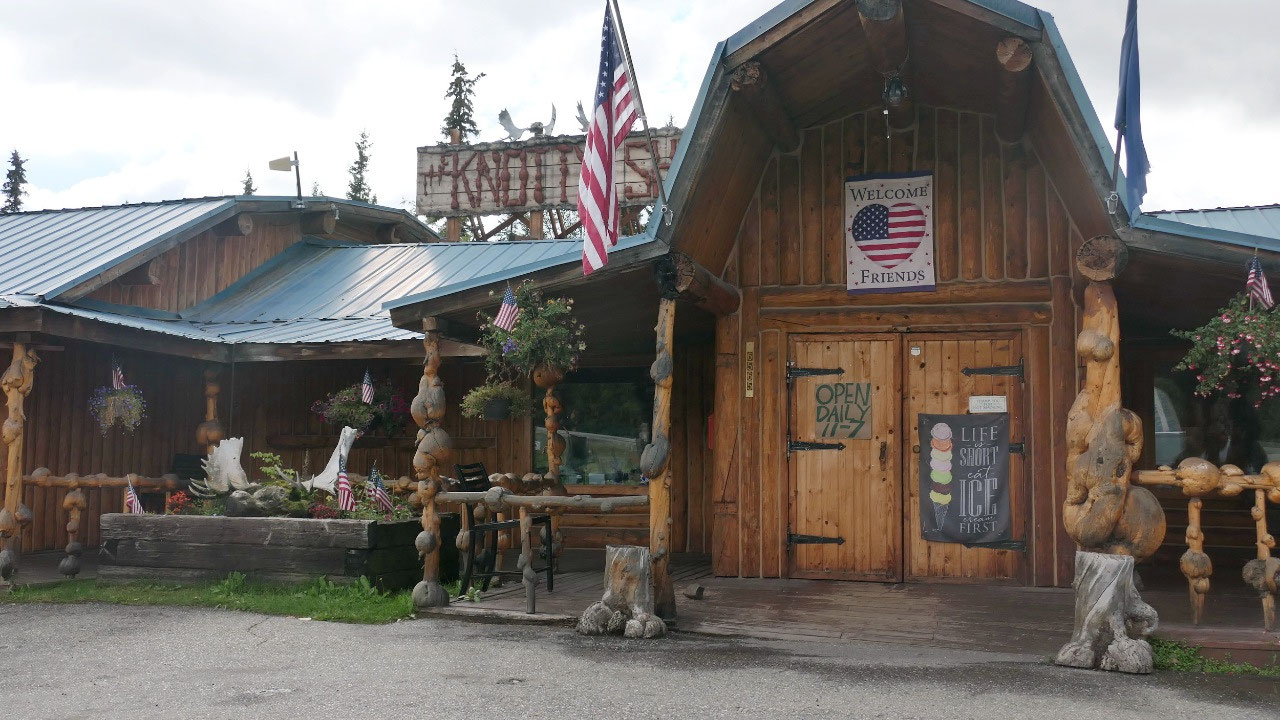
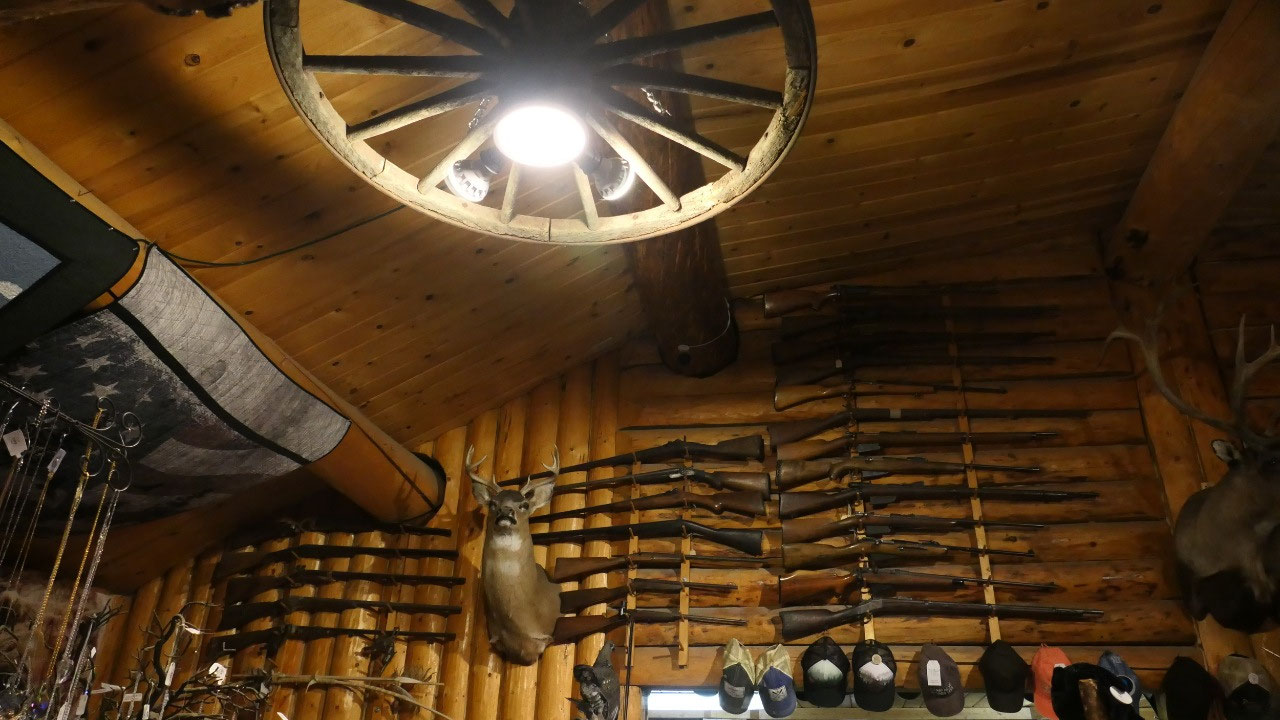
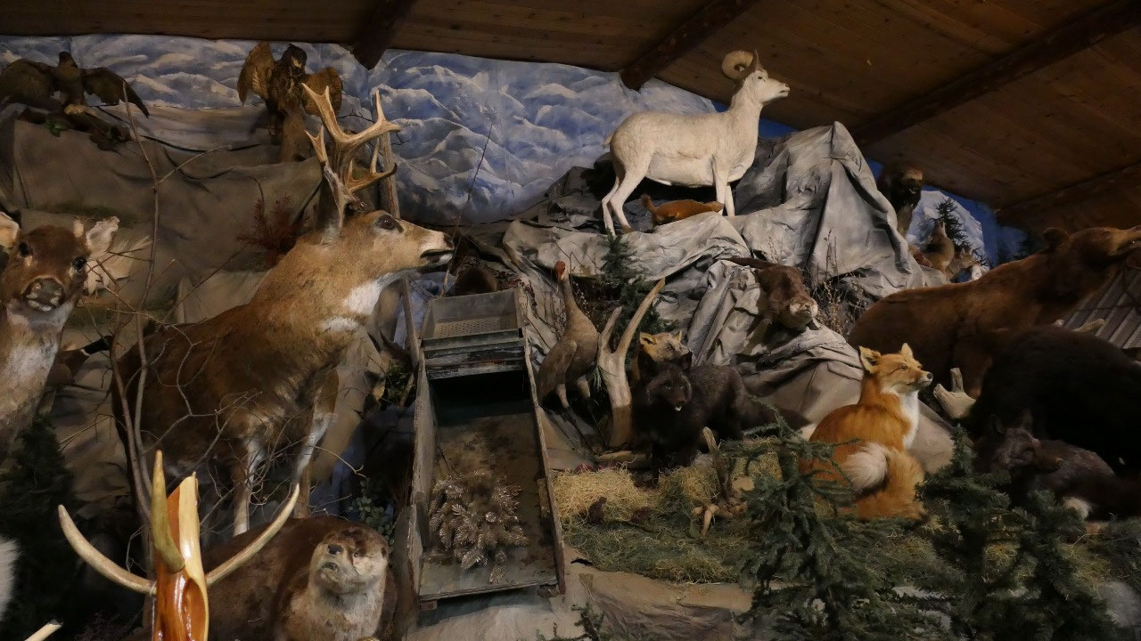
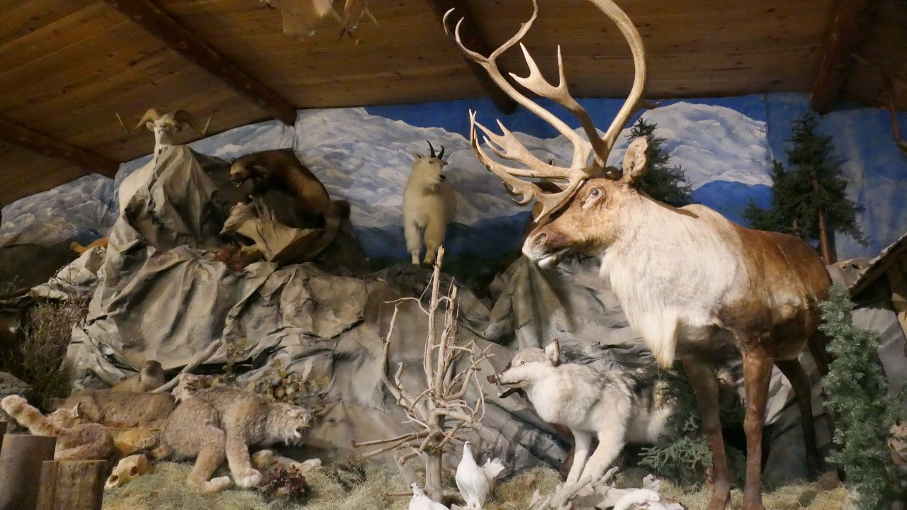
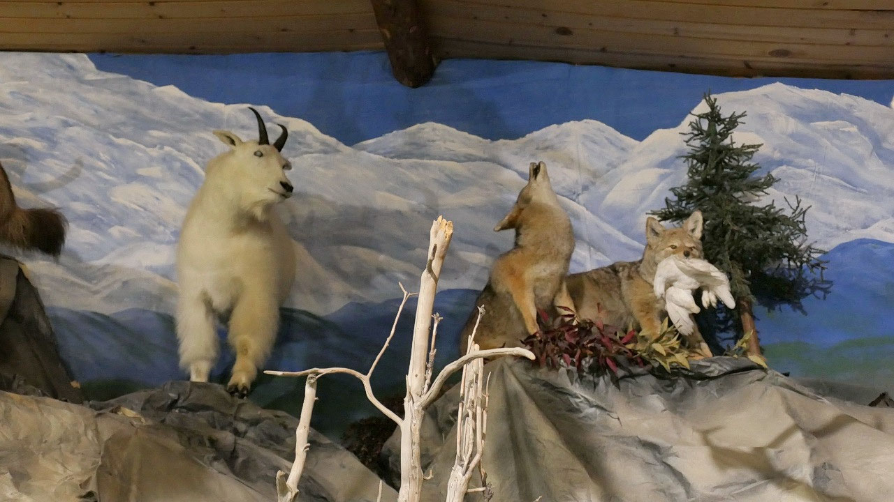
The Knobby Shop
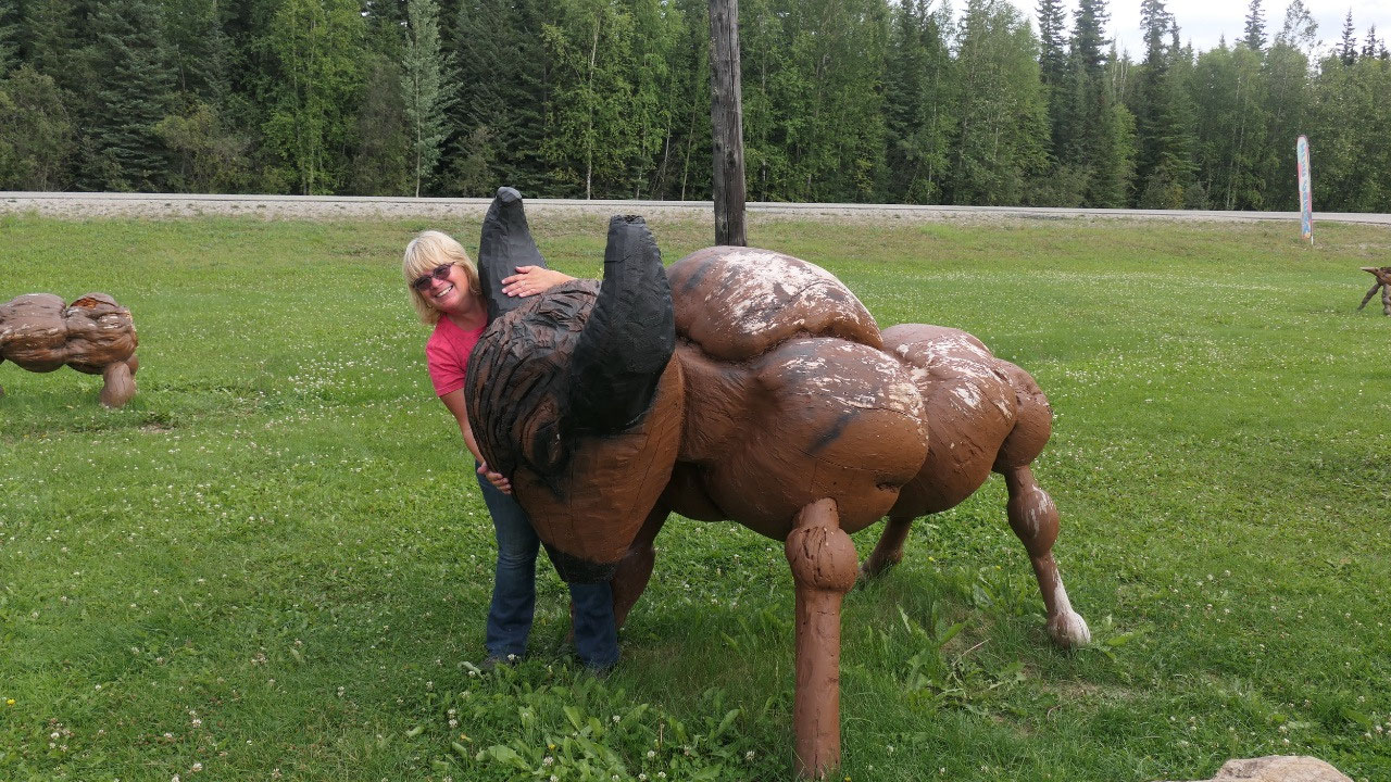
Gine said we stop here and Paul was
concerned that we are now getting in too many tourist traps: but then what do
you do when it rains. Outside they had some cool wooden animals made of wood
burls and inside they had some funky souvenirs – also some super pricey ones
and also a super nice animal setup of the local wildlife.
Camping under the Pipeline
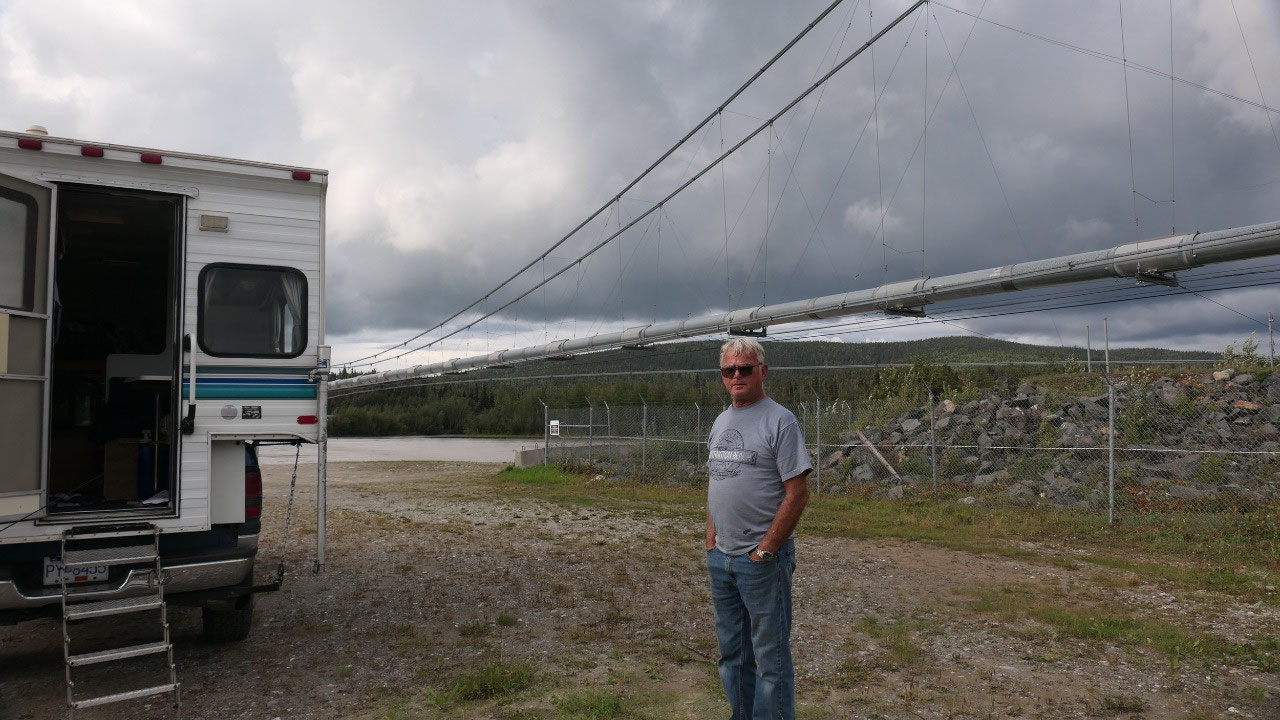
And then we were heading further down
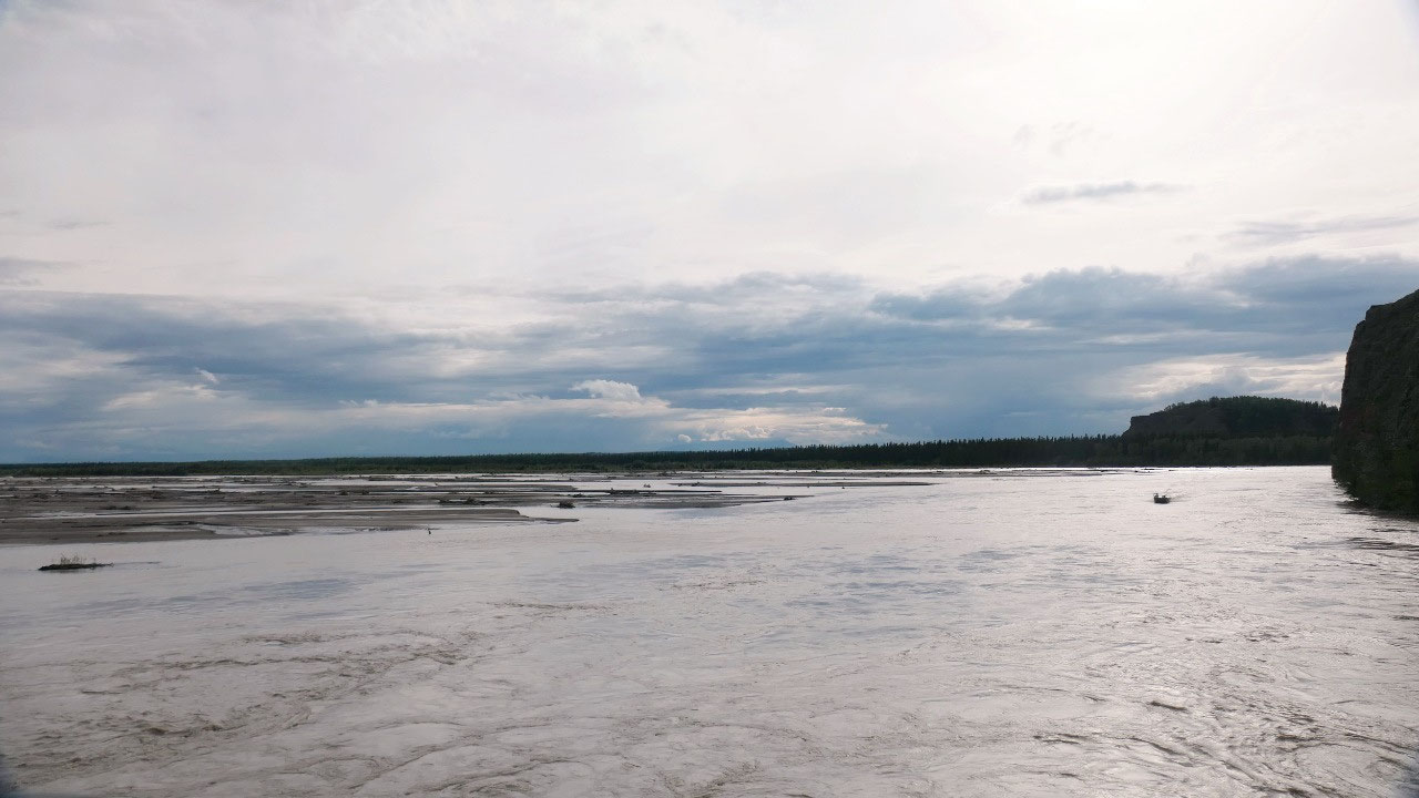
the Richardson highway, and stopped where the pipeline crossed the Tanana River
and decided to camp here as it is super time.
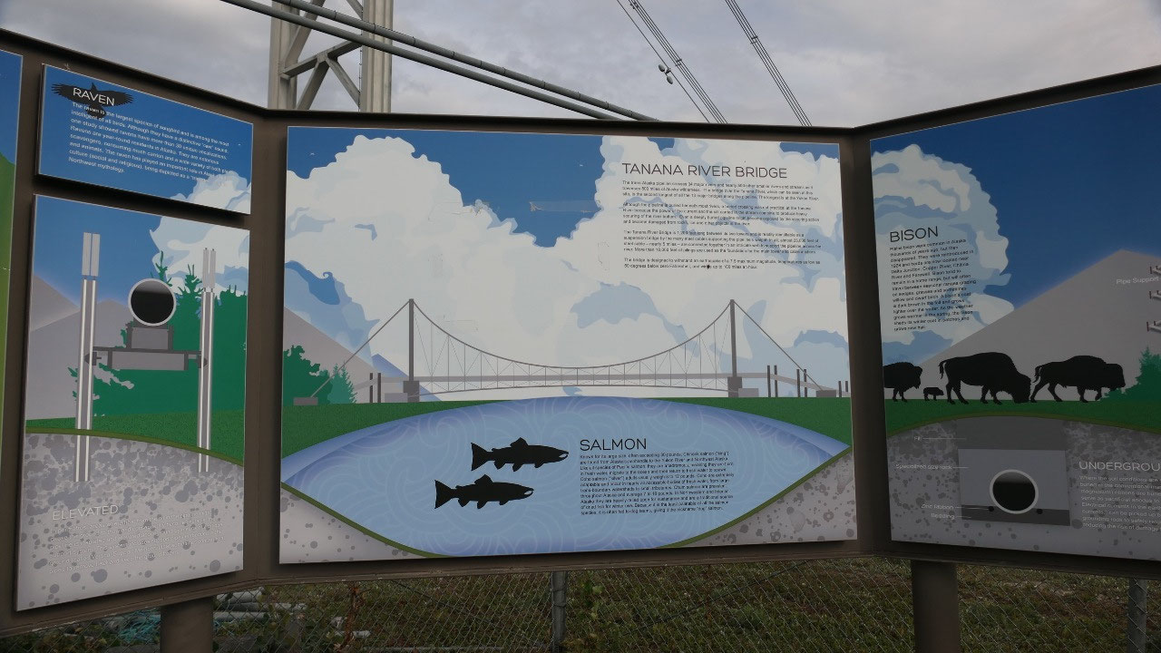
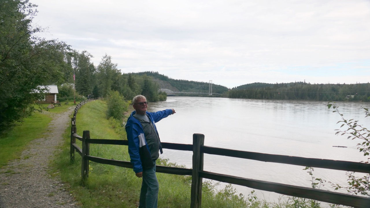
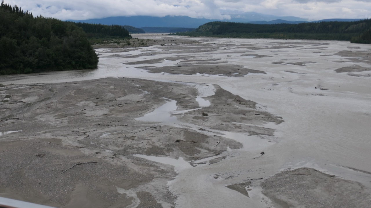
- We are parking near the Big Delta Bridge here the Alaska Pipeline is suspended across the Tanana River: the pipeline crosses 34 major rivers and 500 smaller rivers: this is the 2nd longest of all the major bridges (the longest is over the Yukon River) – at most rivers the pipeline is buried beneath the river – which was not possible here because of the strong currents and the silt: the Tanana River Bridge is 1200 ft long between it’s 2 towers with nearly 25.000 ft of steel cable : the bridge can withstand a 7.5 earthquake and temp as low as -60F and winds up to 100 mph
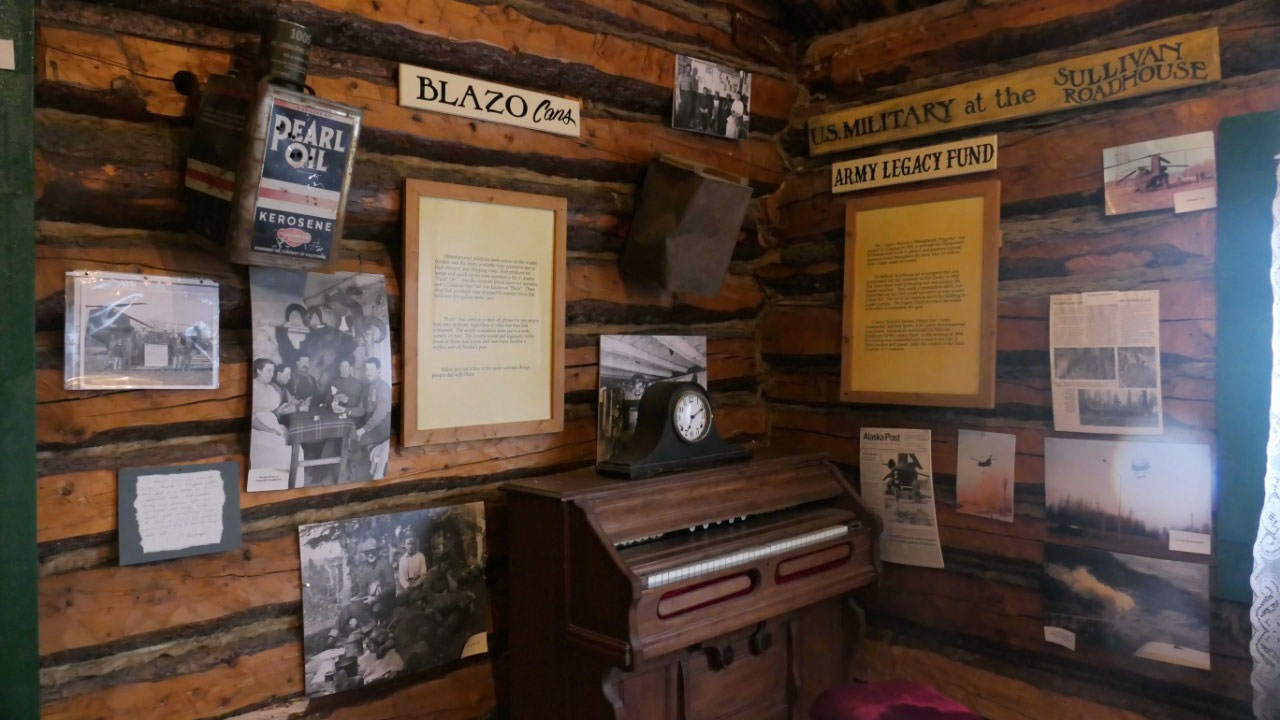
And who is Rika??
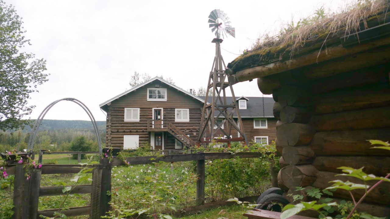
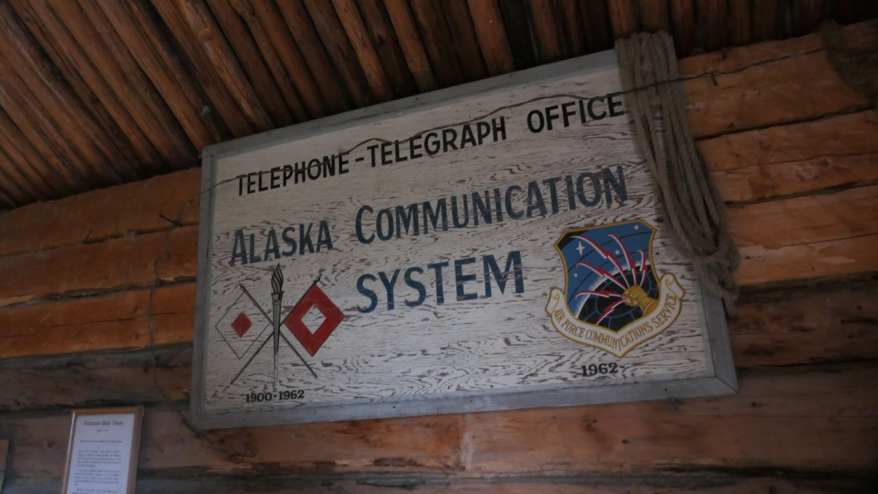
- We are in the Big Delta State History Park with Rika’s Roadhouse
- In 1900 it took one year for the message to send and receive a response back– this is how long it took the US Army in interior Alaska to communicate with their headquarters in Washington DC: to speed up communications the US Army built the Washington to Alaska Military Cable and Telegraph system: WAMCATS in 1903 – the telegraph station at Big Delta was named McCarty Station after the owner of the trading post
- Soldiers were stationed every 20 to 40 miles along the line and endured lonely and harsh conditions
- Civilians were allowed to use the telegraph which was improtatn for settlers, miners and travelers
- In 1904 entrepeneur Ben Bennet built a trading post and roadhouse to provide travelers, miners and trappers with supplies and shelter, he sold it to Daniel McCarty and it became known as the McCarty trading post
- John Hajdukovich from Yugoslavia came in 1906 to seek fortune in the gold-rich hills, he got in 1911 enough gold and bought the trading post and built the today’s roadhouse. Running a roadhouse did not appeal to him, he told the people to make themselves at home and leave money on the table
- In 1917 he hired Rika Wallen from Sweden to run his business, she then bought it in 1923 for 10$ for other considerations – some think because John was away so often he owned her so much on back wages, that he deed it over to her others say that he did it, so he always have a place to go to. It became Rika’s roadhouse, in 1926 she added the east wing and operated it until 1947. She lived here until she died in 1969
- Her roadhouse was open year-around, she raised livestock and grew vegetables and fruits, so she could serve fresh produce, eggs, milk and meat
- By the way John Haydukovich started several road houses on the way up to Nenana, the ARC had a contract with him to improve the trail, starting in 1927 he made money as a big game guide, in 1928 he petitioned to bring 23 bisons to Delta – today there are around 450, during WWII he supplied the army with lumber to build the Big Delta Army Airfield – he stayed later on often in the roadhouse and died with 86 in Fairbanks.
- After the cars came onto the Richardson highway, roadhouses were not needed so much anymore. Rika’s also served as a trading post, liquor store and post office. She kept up with the changes happening.
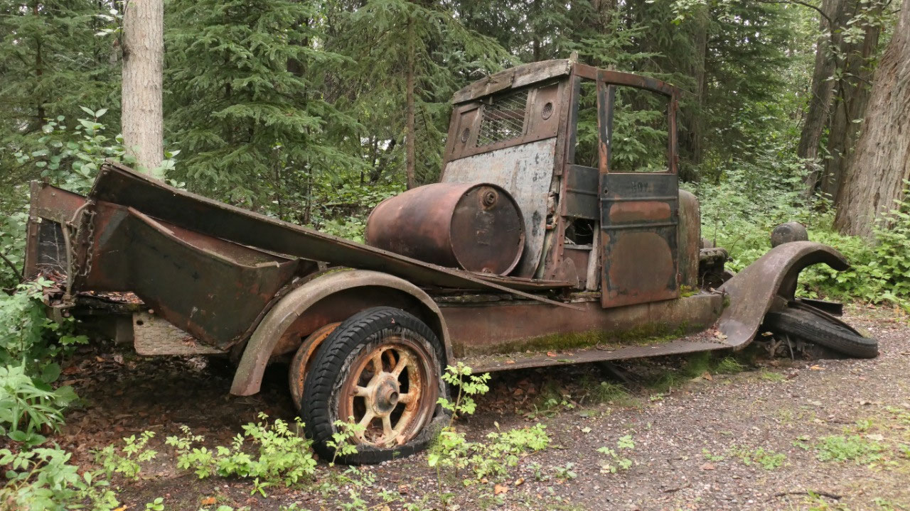
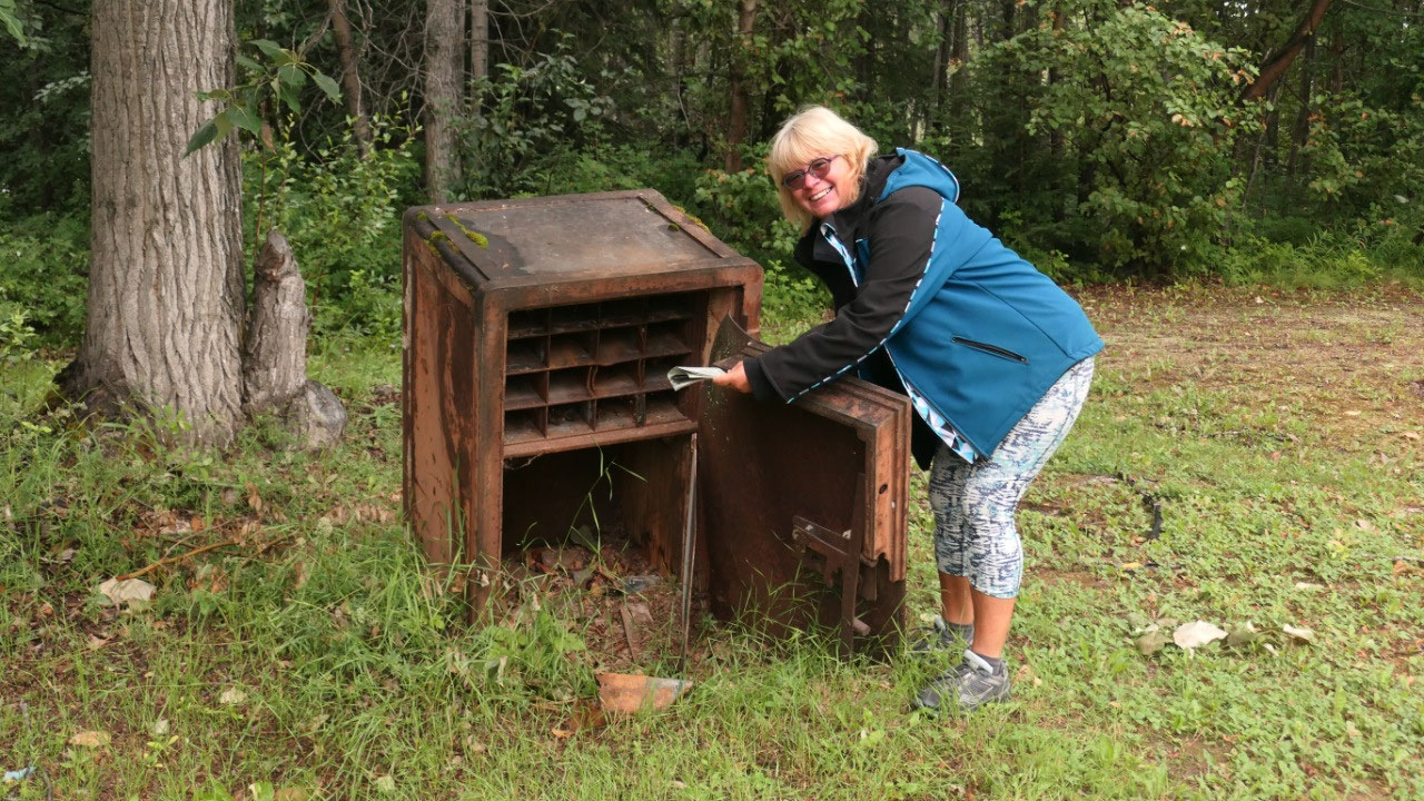
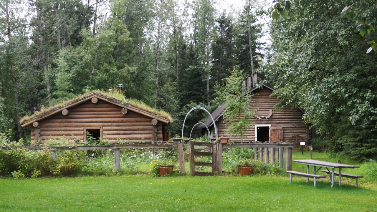
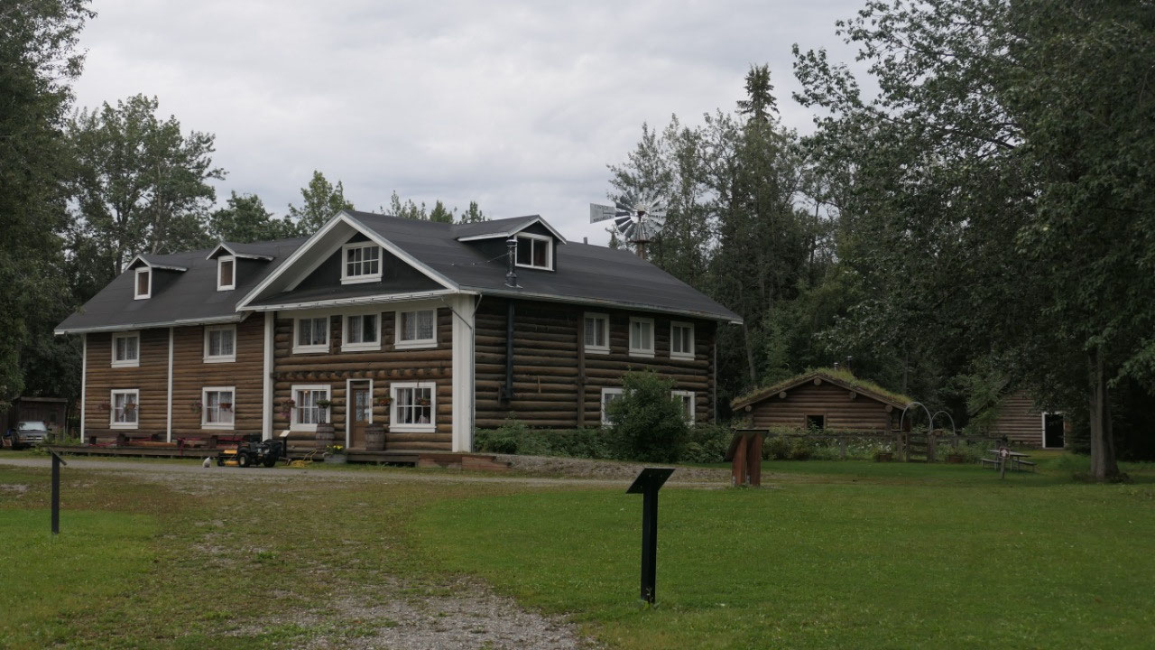
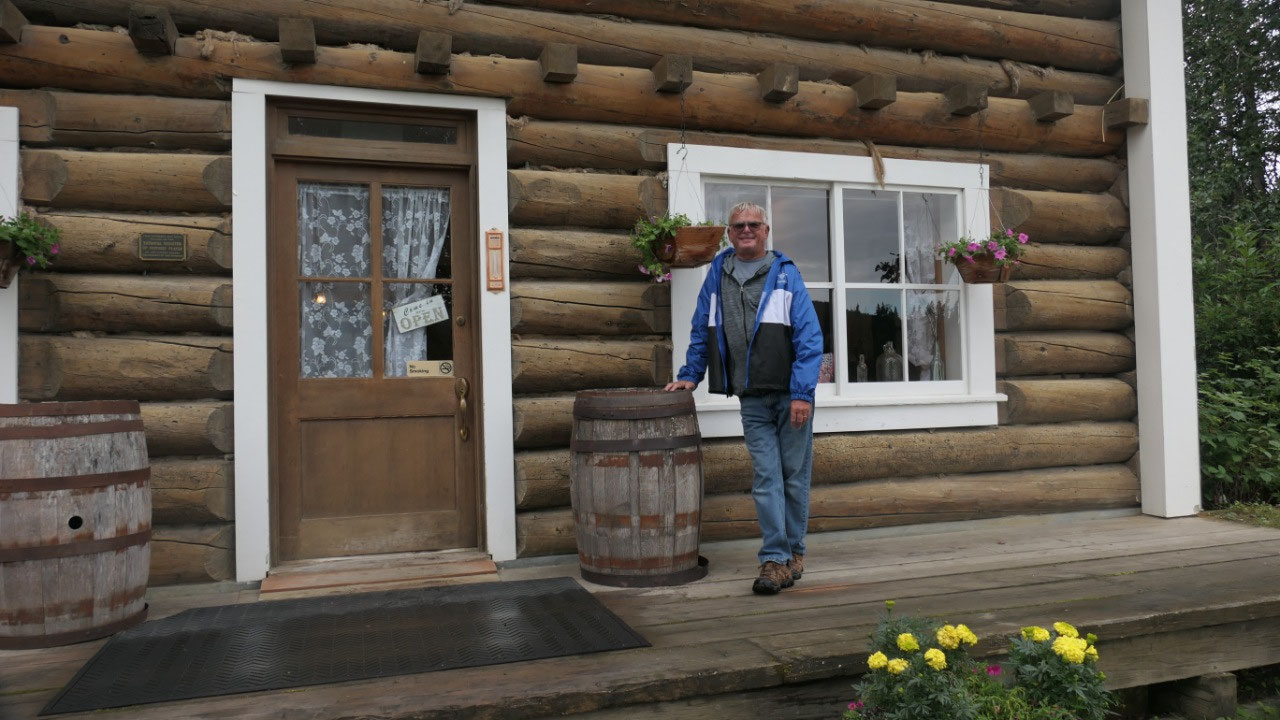
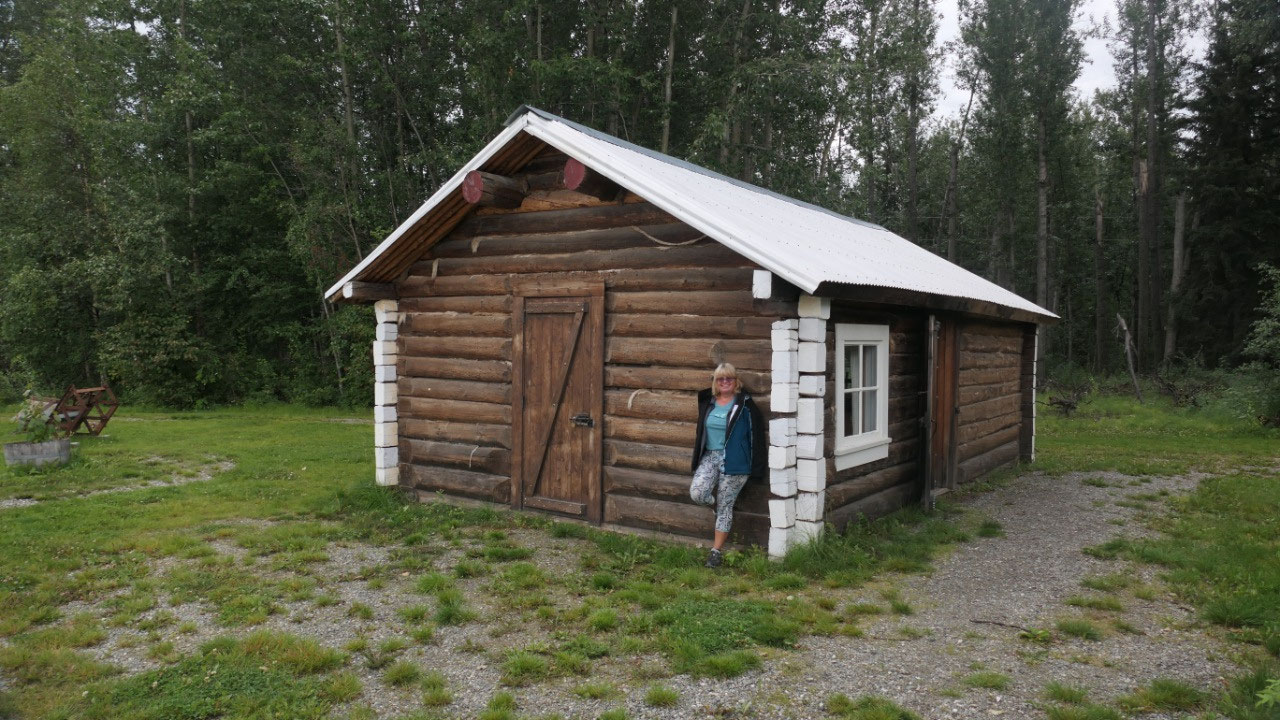
Checking out Rika’s roadhouse
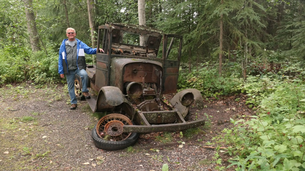
We were clearly the only ones on the
parking lot and then set out to check out to explore this old area which
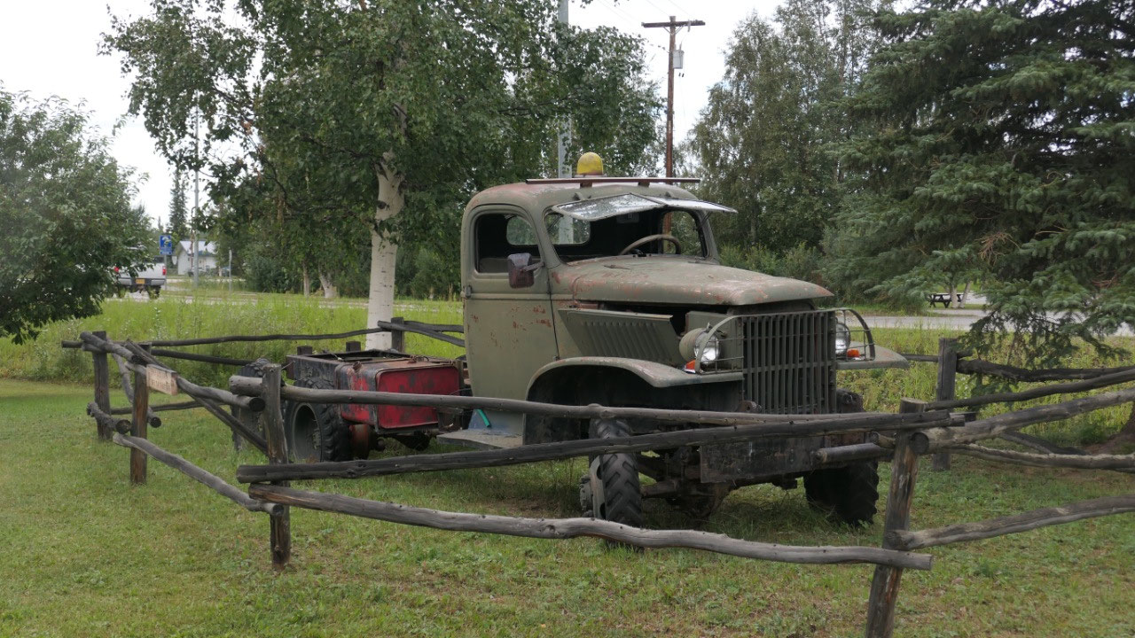
consists of Rika’s Roadhouse as well as the Telegraph station. It was super
cool to walk between the old buildings, find an super old truck (yes you can
see them here everywhere), an old safe, and in between walk over to the Tanana
River to enjoy the views.
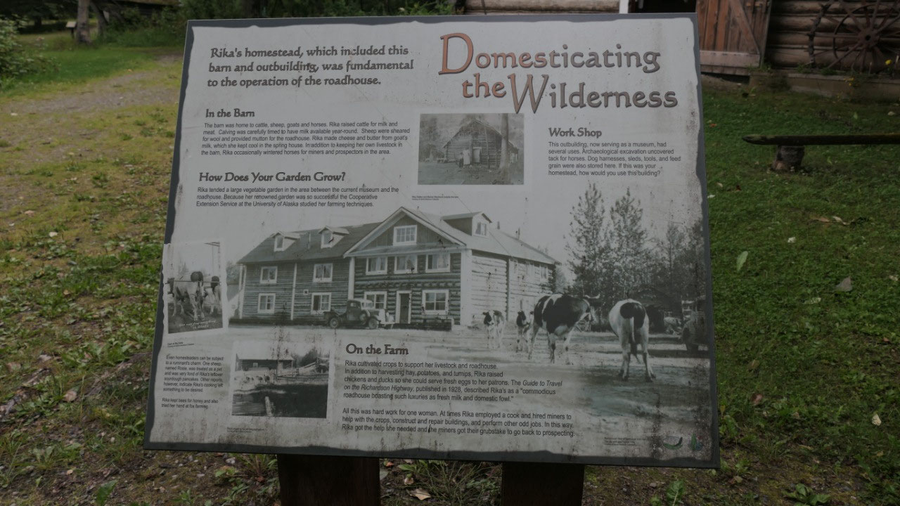
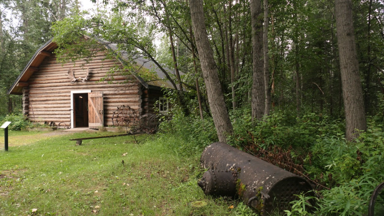
- Rikas’ Barn: she raised cattle for milk and meat, sheeps for wool, she made butter from goat milk. And she had chicken and ducks for her own eggs. In case you wonder, she didn’t do it always by herself, but once had a hired cook or sometimes miners you help her to built and repair the buildings – and they got paid in meals. By the way this is a Swedish design – as she knew it from her homeland. Inside we saw an old 1930smade birdhouse – this is important because if you have lots of swallows they eat the mosquitos. Also can you imagine that she needed 20 tons of hay each year which she gathered from meadows and swamps. Inside we saw some old farming equipment.
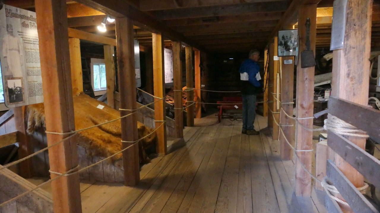
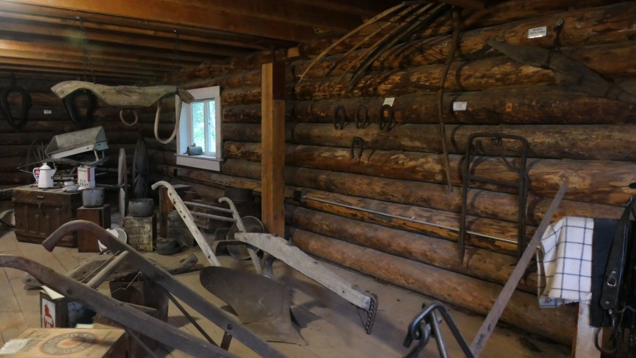
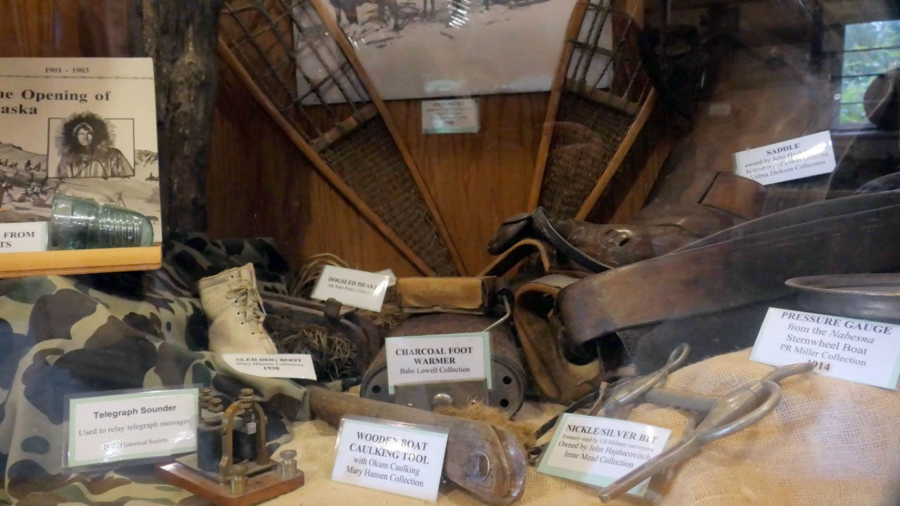
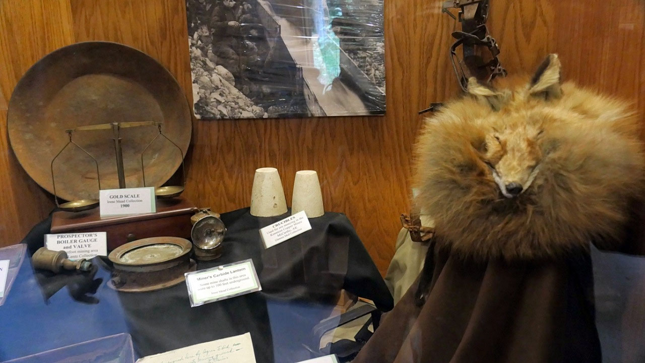
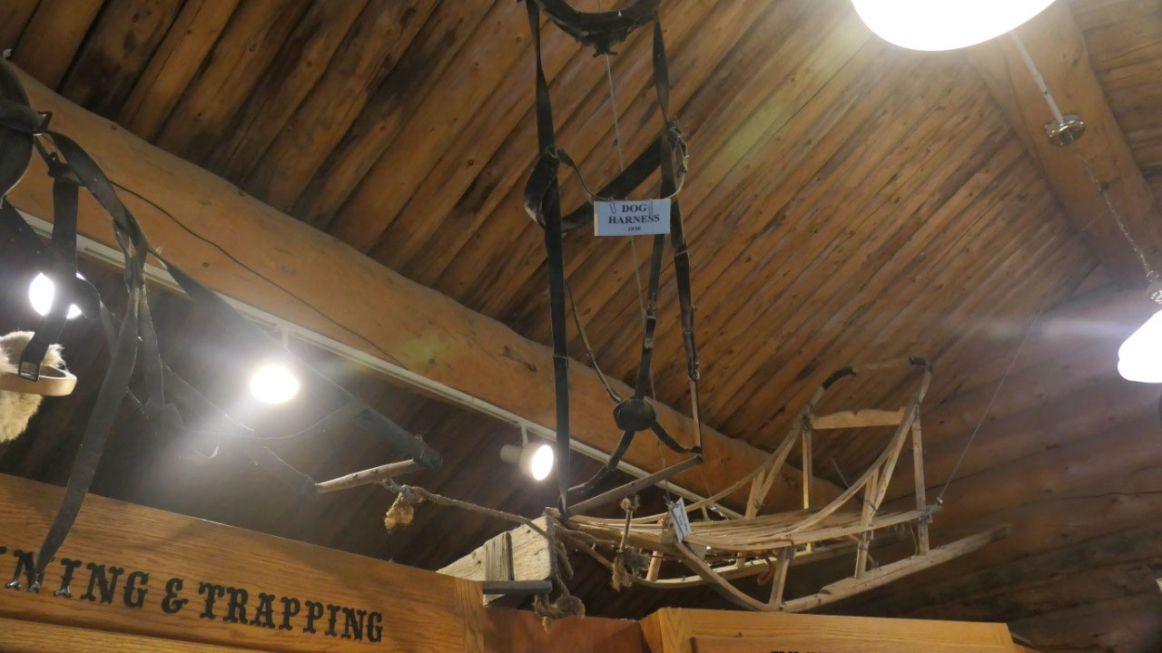
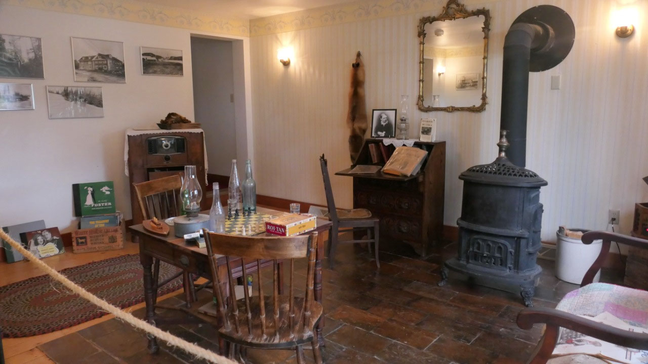
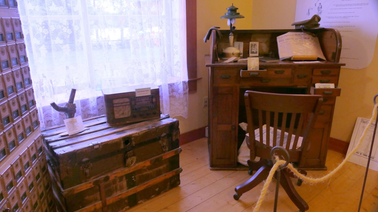
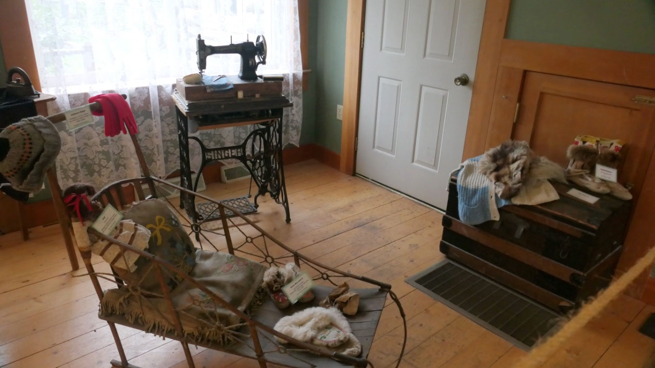
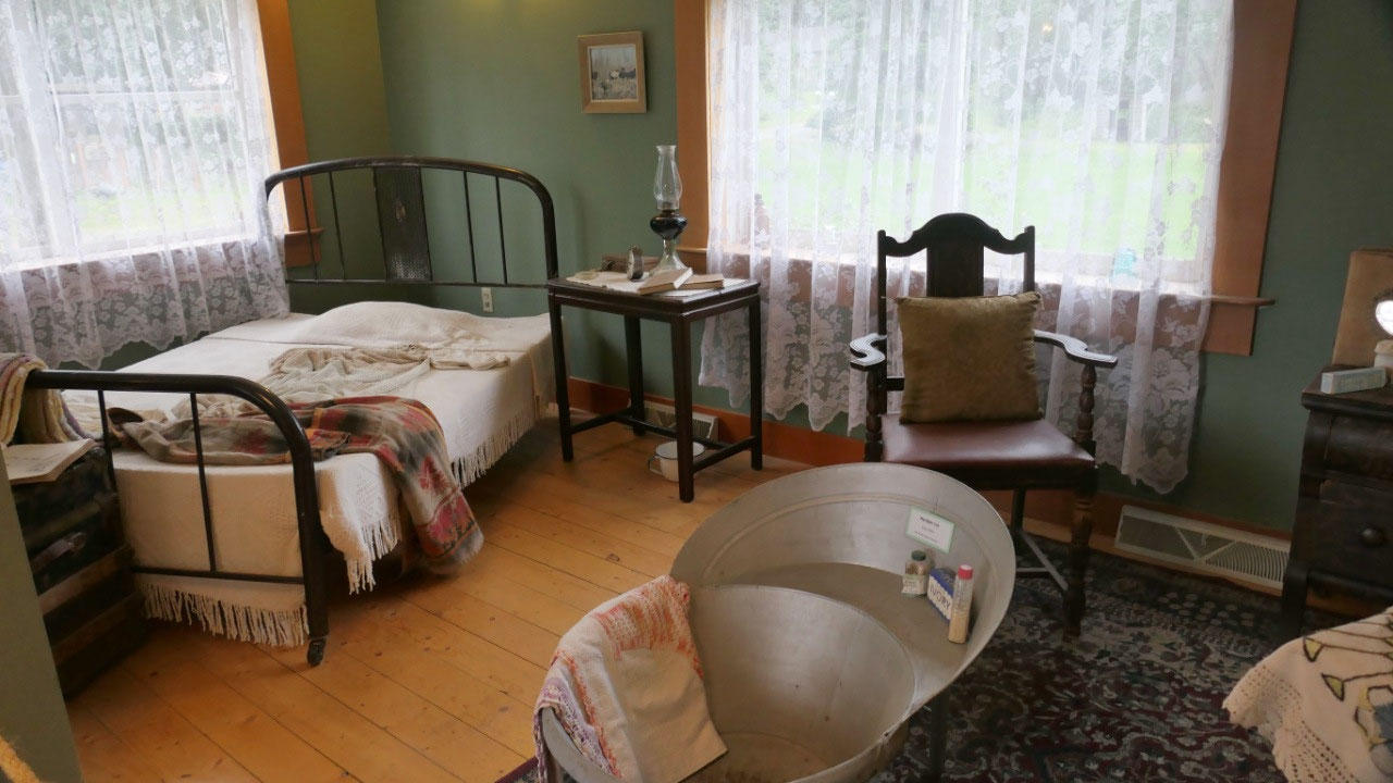
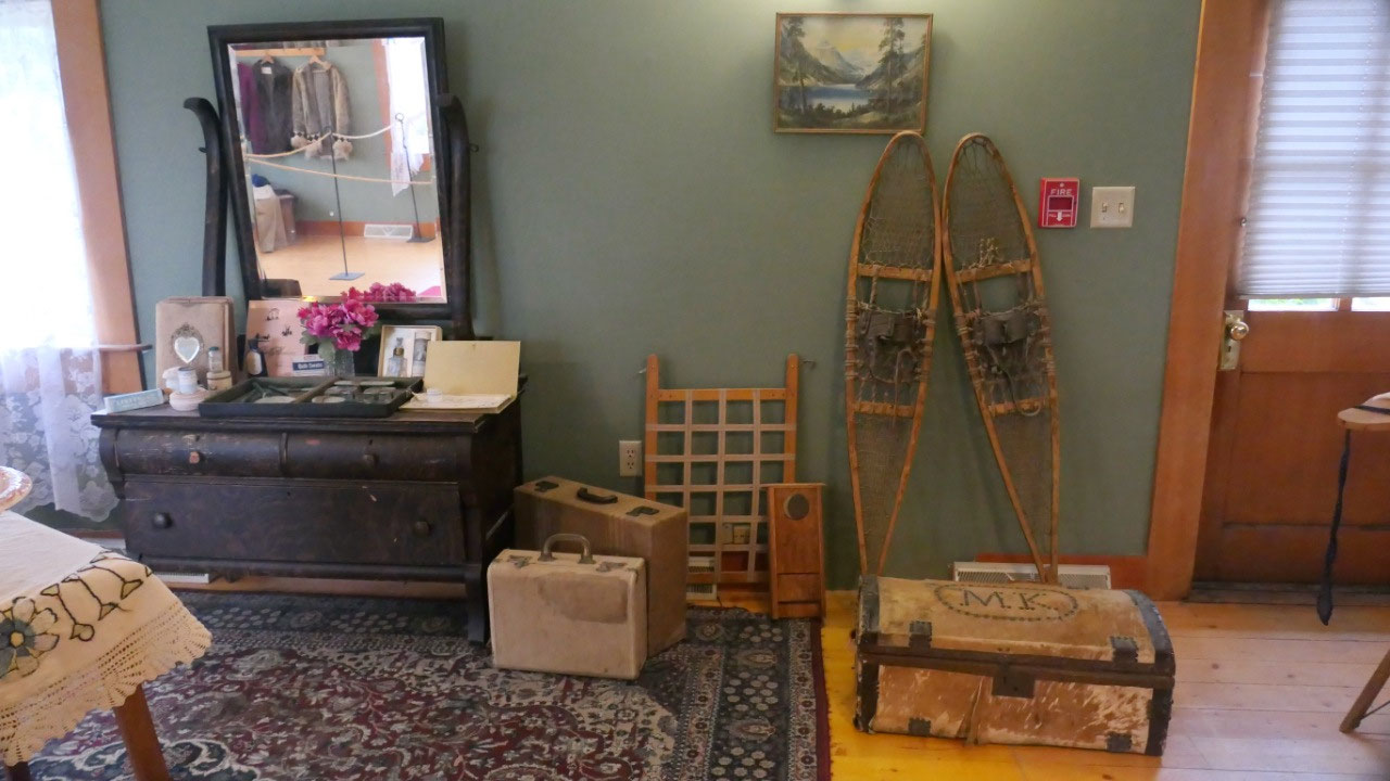
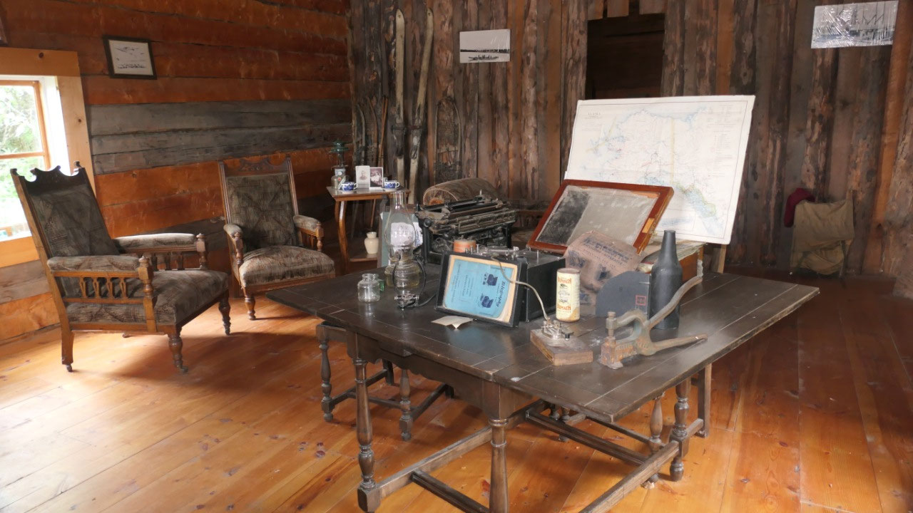
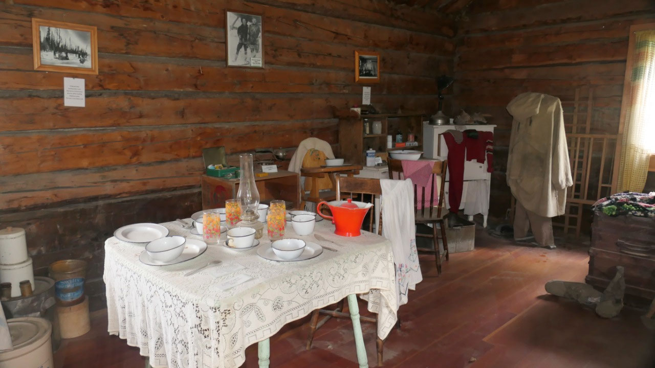
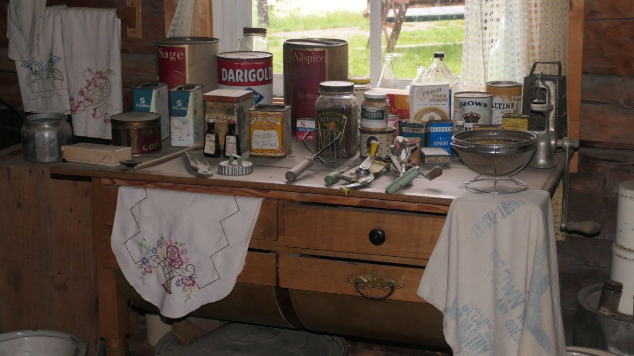
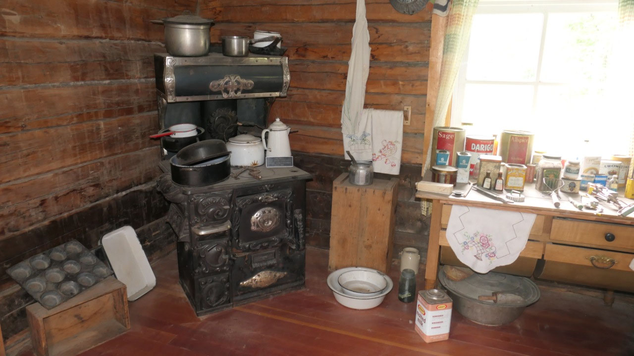
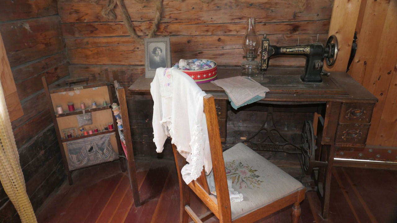
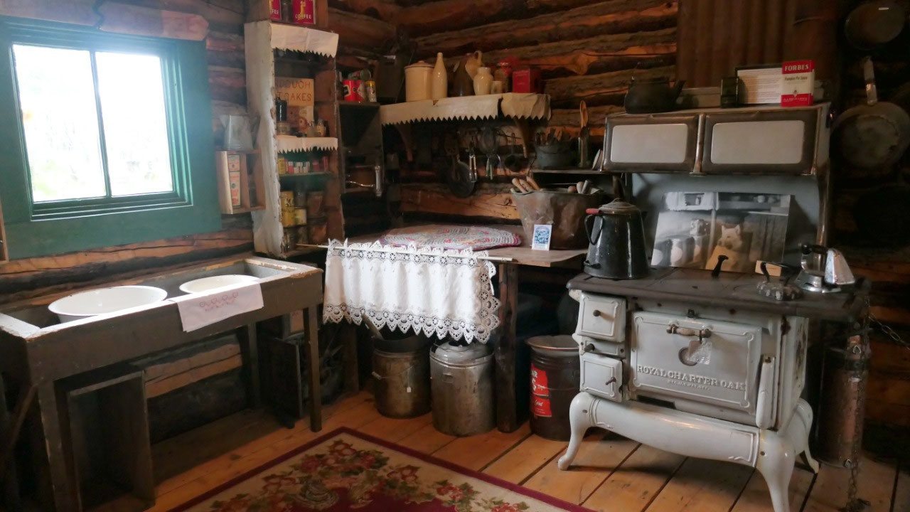
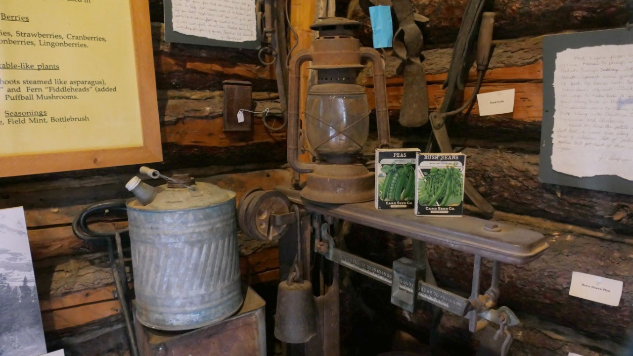
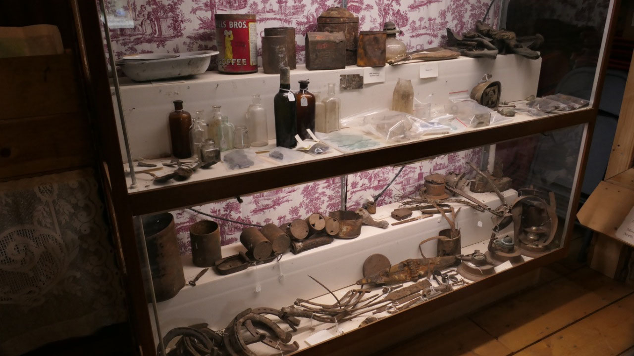
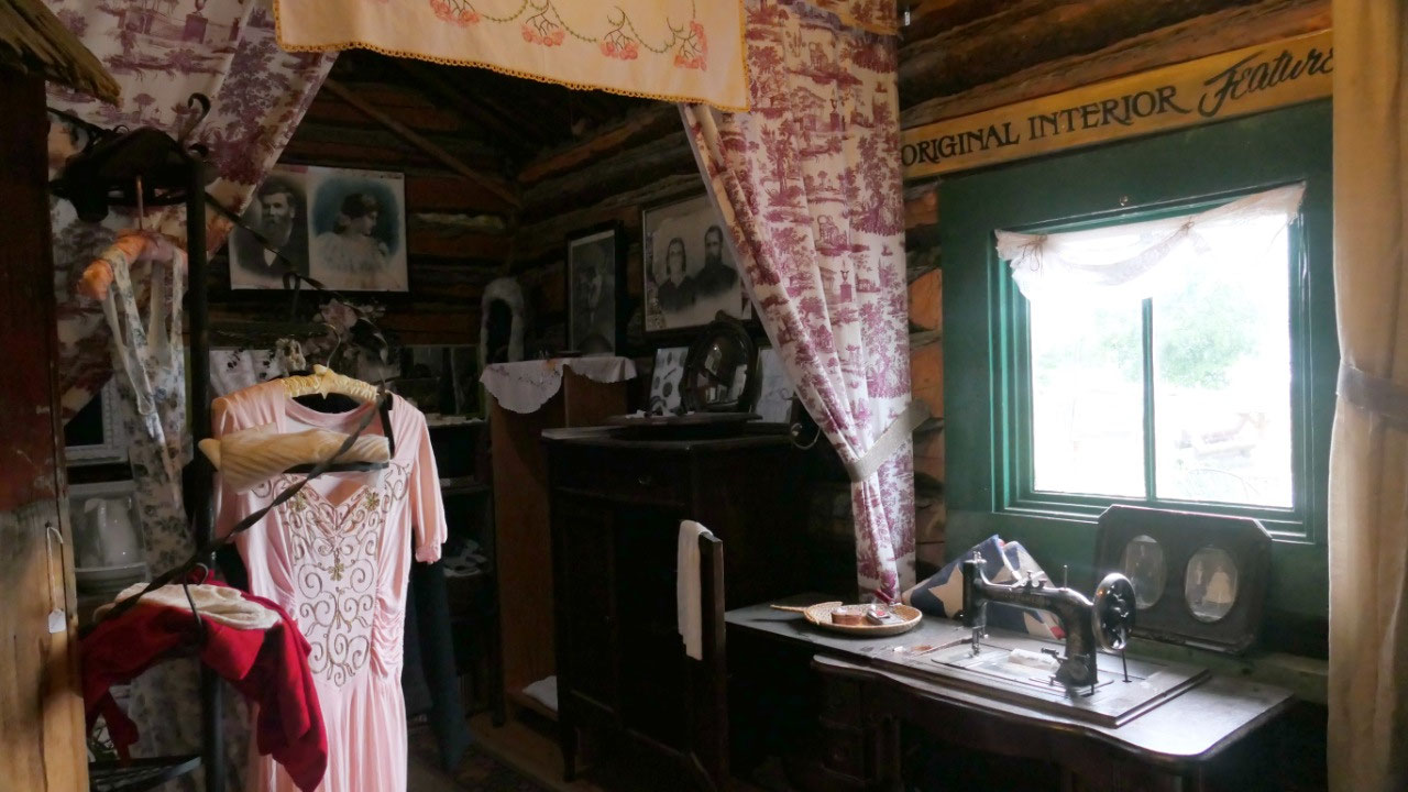
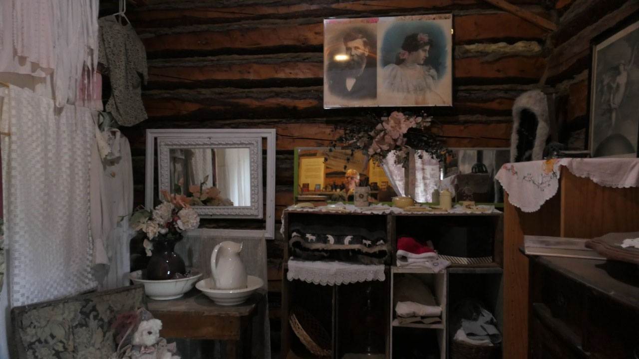
- The homestead outbuilding: is now a museum where we could see the big sign “Big Delta Hotel Meals & Refreshment Rika Wallen” with old saws, tools, cameras, charcoal foot warmers, snowshoes, gold scale, super old letters, the original phone, dog sled with harness, a gas iron, an Alaskan style fur parka – it was cool to see, we are by now experts in the northern historic displays.
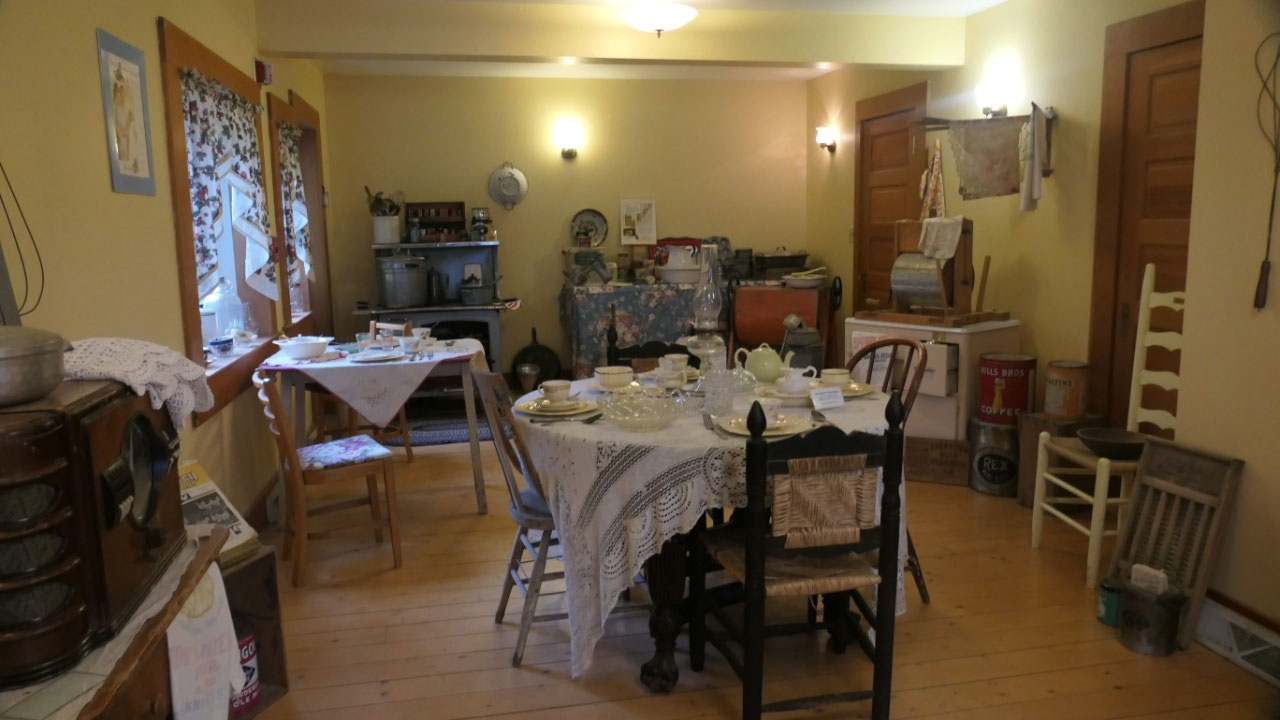
- Rika’s roadhouse: ok so the front door said “closed” but the lights were on and the door open, so we went inside turned the sign around and checked it out. It is actually quiet big even we only saw the bottom. A big entrance with game table, radio and organ – as well as the post office boxes. In the dining room we saw several tables nicely set up with super cute table cloth and a kitchen area. One room was a guest room including a “bath sitting tub” and wolf parka. Very classy
- The garden with the windmill: she had a big successful garden – grew her own potatoes and turnips, so the university of Alaska studied her farming techniques – they have a little replica there and also a huge windmill - now for show in the old days it helped get the water. By the way she also had bees for honey. She had so much produce that she sold to the ARC*
And the story of the ferry:

- Ferry cabin: this is a cute little cabin and you can today rent it for overnight stay.
- Ferry weigh station: ok so that is super cool, it got installed in 1935 in order to charge a toll to users of the Richardson highway.
- Not everyone loved the ferry: the truckers did not like the ferry pay and took it in their own hands. The Railway was loosing money as it was cheaper to use trucks on the Richardson Hwy – to force the freight on the train in 1935 they established fees for the truckers, when they refused they started the toll for the ferry here, so the truckers used the ferry without permission. When in 1940 Marchall O’Conner came he arrested 14 men, the truckers than seized him, took his gun and locked him into the scale house, they moved the freights across and then released him. In June 1941 the truckers built a “pirate ferry” to avoid the government owned ferry and toll. Then the government made 12 miles up the road a gate where everyone had to show they toll receipt, then the truckers pulled down the gate. Then the toll was put in trust until a consensus could be reached. Once WWII started the railway made money and all fees were removed from the Richardson Hwy. A bridge was built over the Tanana River in 1943 and the conflict was resolved.
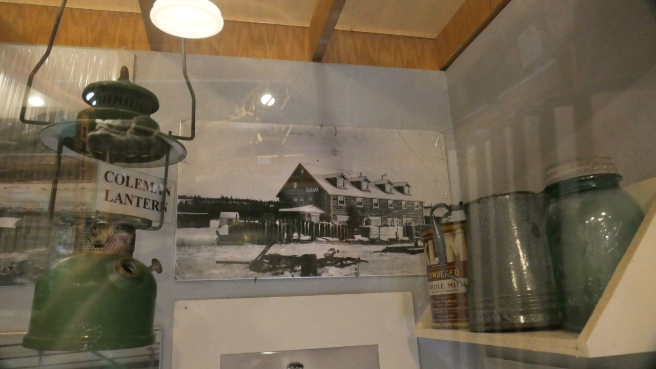
The Telegraph station:
- The telegraph building: it was nice to see the original station of the WAMCATS with little couches and equipment. This station opened in 1907 and closed in 1929. The unique part is the white paint at the end of the logs on the building – this shows it is a telegraph building. IT was also used during WWII.
- The Military residence: this is like a little small cabin from a hundred years ago – yes we saw many of those and it is still always interesting to see all the old stoves, tables, dinnerware, cans and staff again.
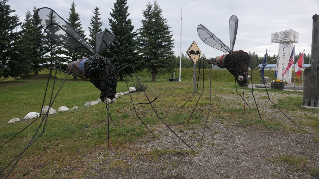
At the end of the Alaskan Highway:
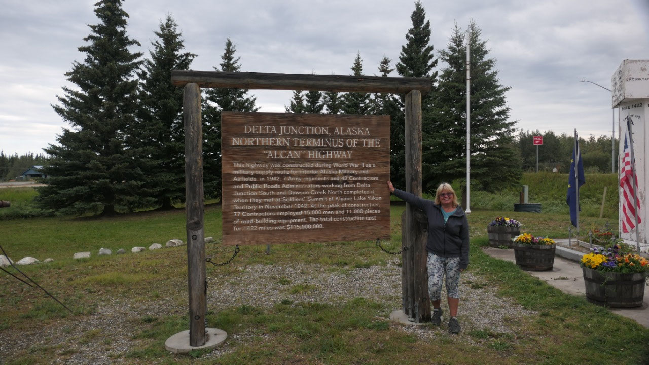
Delta Junction
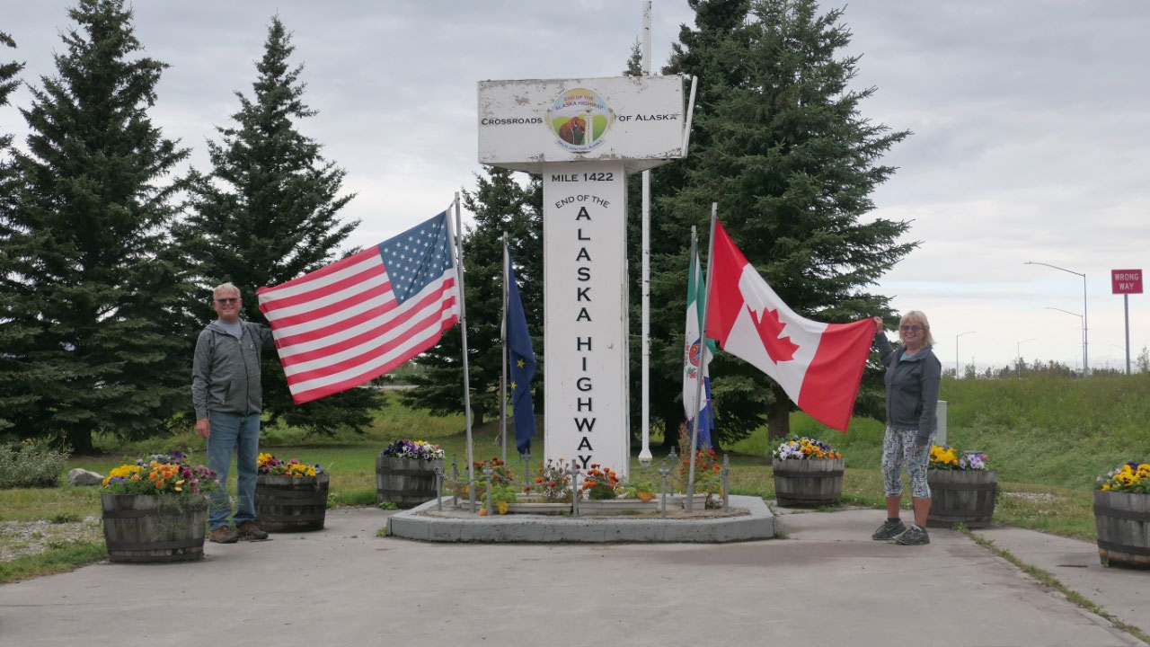
And a bit further down the road we
stop at Delta Junction – this is the official end of the Alaskan Highway and we
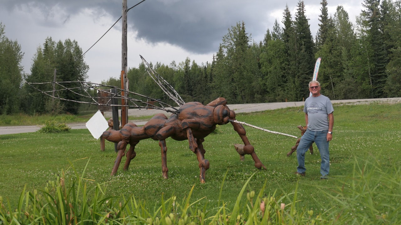
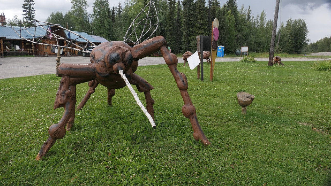
stopped at the visitor info to take a picture of the famous milepost 1422 with
the US and the Canada – flag. We also loved the giant mosquitos they have here.
You can get here a certificate that you completed the Alaskan highway – but yes
it’s Alaska and it costs money, it is not that important for us.
What was cute they have inside some
Trumpeter swans and yes we saw them on a few lakes in the distance, but if you
stand right before them you realize on how big they are
- This town started out as a construction camp and it got is name as it lies at the junction of the two highways and is along the river Delta
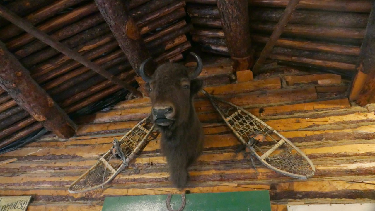
- It was in the olden days called Buffalo, as this name was used because of the bison herd which was introduced in 1928 and still ranges free in the area (yes we saw the one in the visitor info)
- 5 miles south of here is Fort Greely which was a US Army launch site for antiballistic missiles. Here is also the Cold Regions Test Center as it is one of the coldest areas in Alaska. During WWII planes were flown from the lower 48 to here to turn them over to the Russian pilots as part of the Lend-Lease project to then flew the planes to the Soviet Union
- After the Alcan was built it opened the area for homesteaders and Delta Junction got famous for Barley growing. During the Corona pandemic it got realized on how vulnerable Alaska is, as it imports 95 % of its food – they try to improve agriculture here in the area for better food security
The famous ALCAN:
- Delta Junction is the norther terminus of the Alaska Highway and it starts in Dawson Creek
- No Mile 1523 in Fairbanks is not the end of the Alcan – this is the end of the Richardson Hwy
- The Alcan was built during WWII as a military route to carry supplies to military installations in the interior of Alaska and to the airfields en route
- They started to built in March 1942 and some crews started to work south from Delta Junction, as where the others started north from Dawson Creek – they met at the south shore of the Kluane Lake in November: 8 month later
- At the peak in addition to the military men 77 contractors working on the Alaskan highway and employed over 15.000 men and used more than 11.000 pieces of equipment.
- The highway was 1422 miles long and cost 115 Mill$
- According to reports the Alaska Highway was intentionally built with many crooks and turns so that convous of supply trucks and equipment could not be entirely wiped out by enemy bombers shooting in a straight line
- In some places the swamp was so bad that the crawler tractors would sink so deep they could not be retrieved and the road was built over some of them
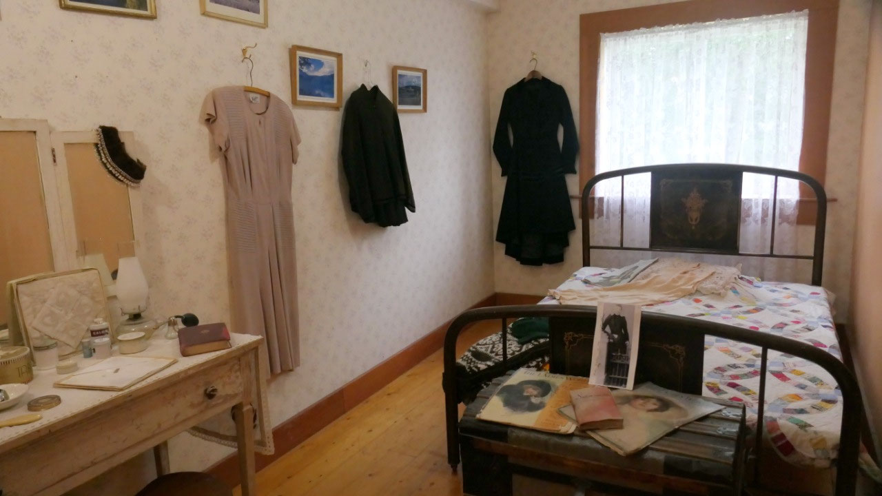
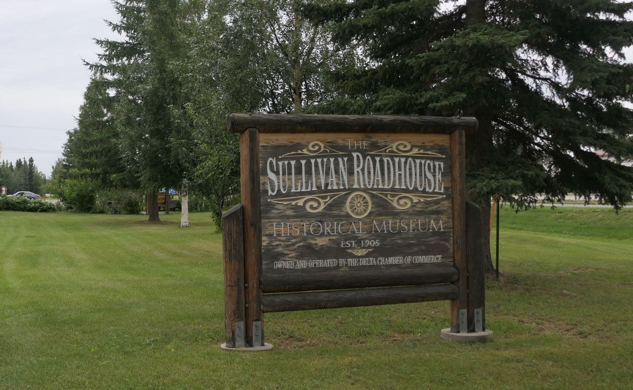
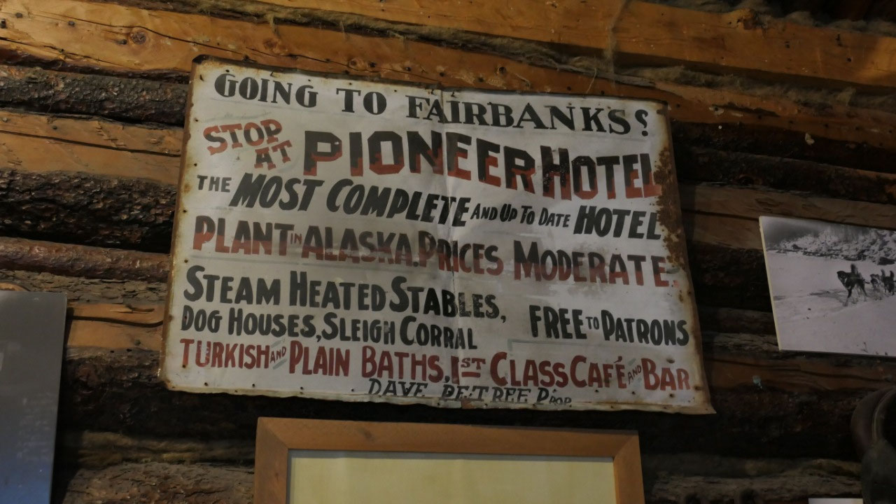
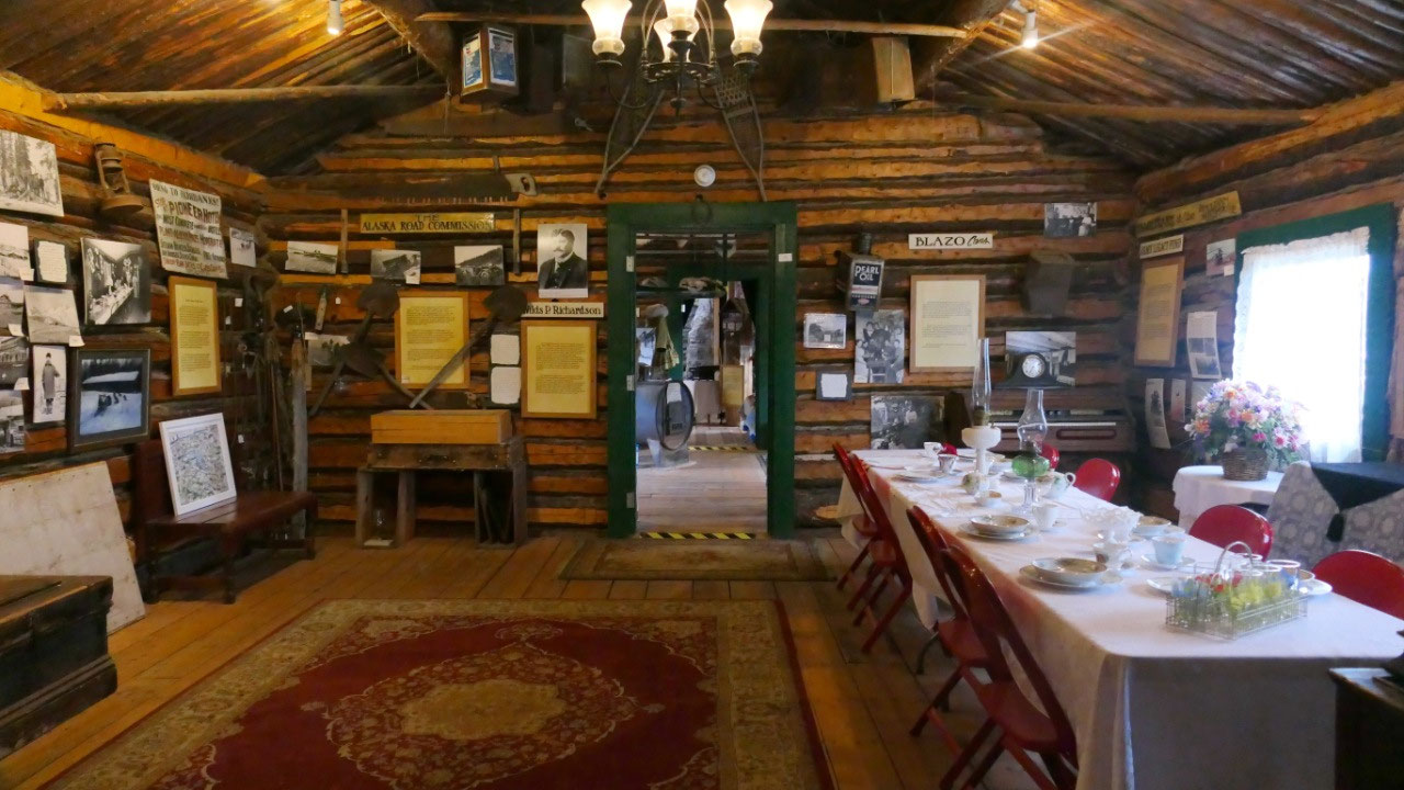
Inside the Sullivan Roadhouse
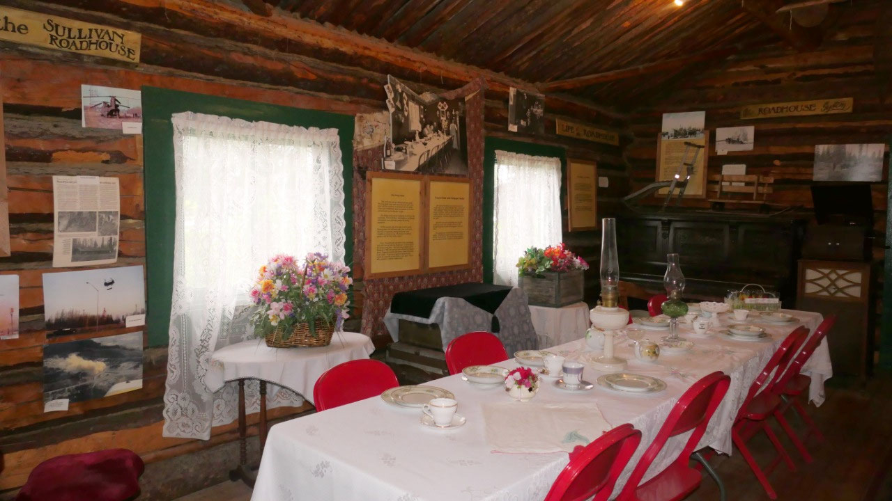
It was super nice, as here we also
learned about the road-houses and how they were built along the
Valdez-Fairbanks-Trail. We started going into a huge dining area there is a
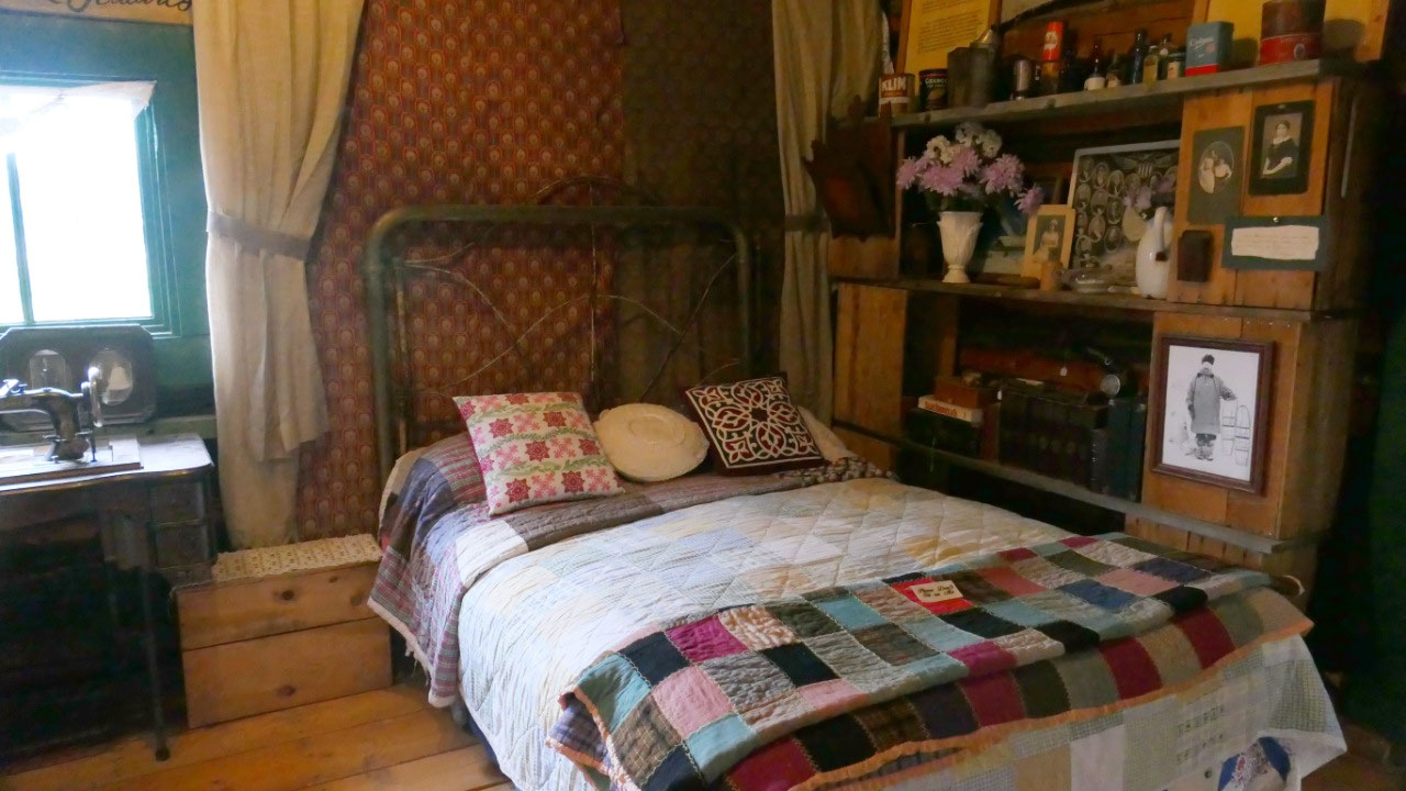
kitchen as it kind of looked like at the time of use, they recreated a bed room
so you could see on how the weary travellers rested at the time. Also cool was
a typical Inuit-style dress for a child and when you lift the dress it is lined
with sheeps fur – wow I guess that is warm. Along the walls were old
hand-written papers from a diary on how the life in the roadhouses was – super
cute only not enough time to read it all (but then we never have enough time…
there is so much to do and see)
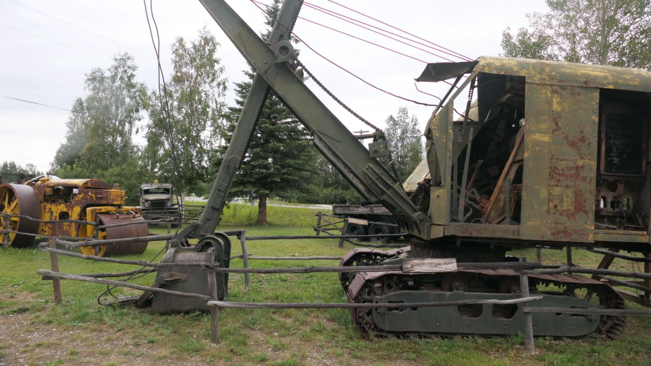
Right outside is the “End of the
Higway Farmers Market” it’s super tiny, so we were fast in the walk around and
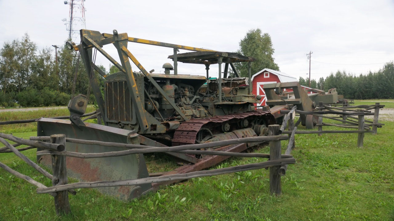
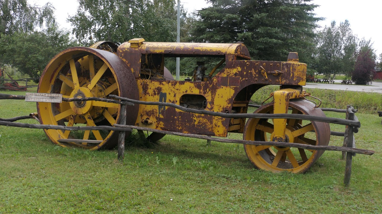
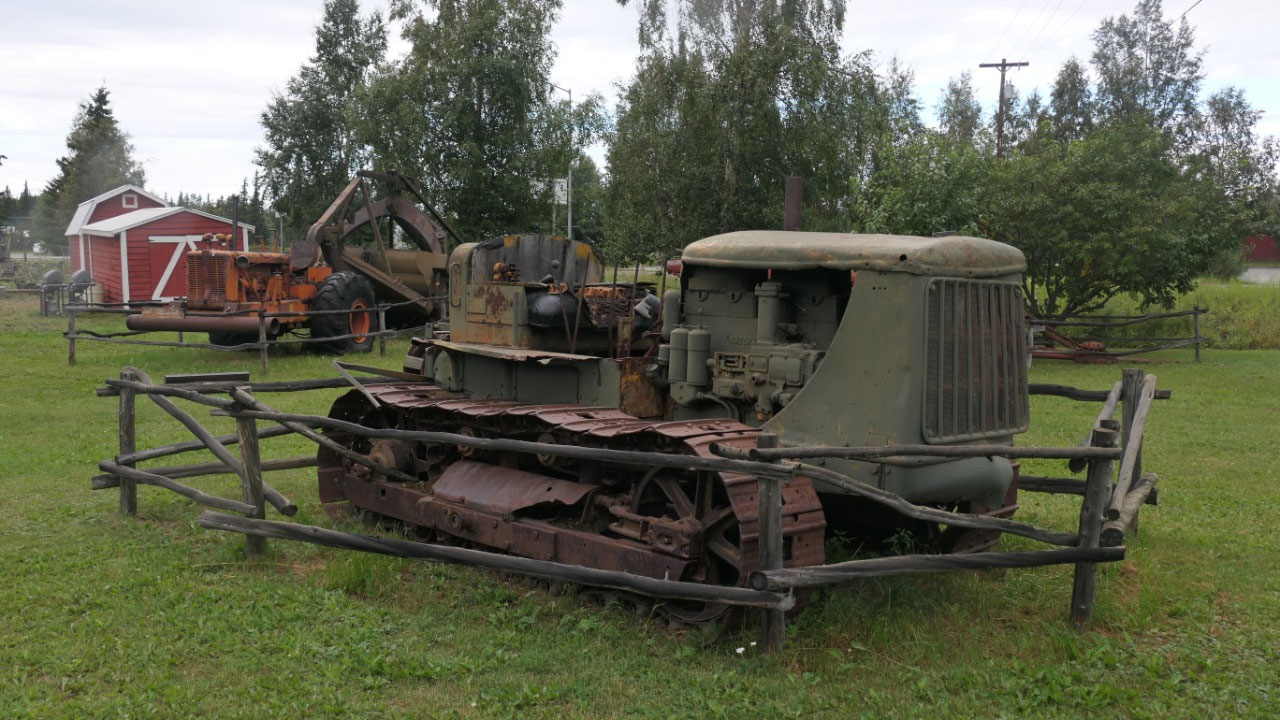
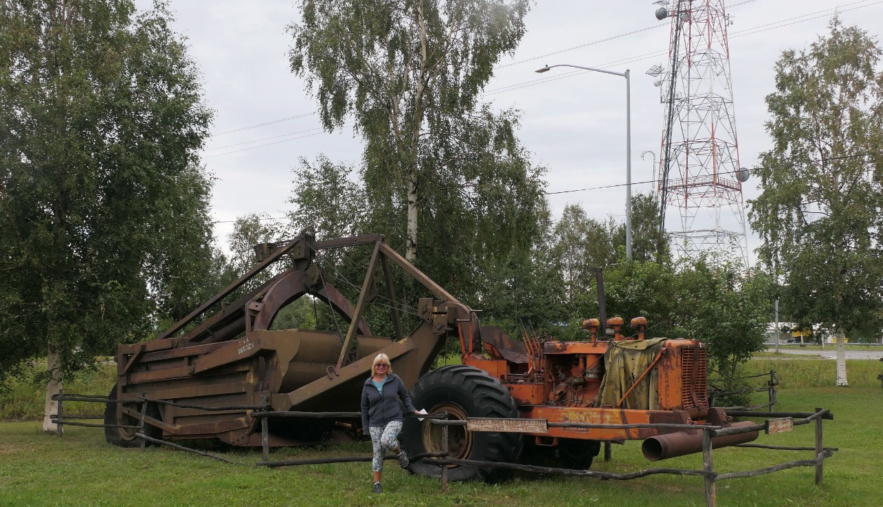
then we stopped at more of the old machinery left from the building of the
Alaskan Highway.
The story of the roadhouses:
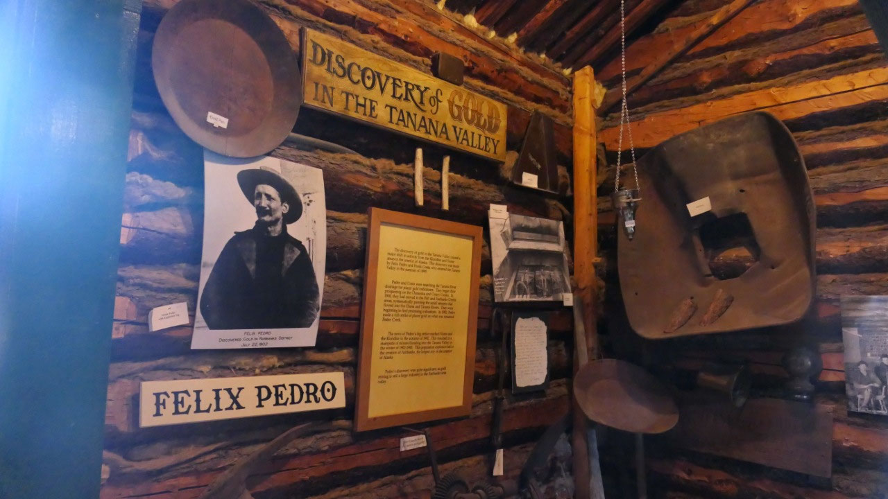
- After gold was discovered near Fairbanks in 1903 prospectors travelled using a series of Native Trails later named the Valdez to Fairbanks Trails, the ARC = Alaska Road Commission improved the road to a 10-ft-wide dog team and packhorse trail and then to a summer wagon road – this was done by Wild P. Richardson
- Along the route were a several roadhouses, normal in a days travel distance 20-25 miles apart. Several of this roadhouses are still today here. At that time the 371 mile long trip could take up to 2 weeks to complete. In average you paid 1$ for a bed and 2$ for dinner or supper and 2$ for breakfast – as where at the same time a fancy meal in Seattle was 15 Cents.
- More improvements by the ARC made it possible that by 1926 the trip could be done by car and it only dook 2 days from Valdez to Fairbanks: which was Alaska’s first Highway: the Richardson Highway in honor of the first head of the ARC Wilds P. Richardson
- Here we are at the Sullivan roadhouse from 1906: when it was discovered that the route was too steep in winter the ARC moved the winter around the steep grades and now the “road” was 4.5 miles from the roadhouse – so the Sullivans moved it the building log by log back to the trail.
- It is one of the oldest roadhouses in the interior of Alaska: John and Florence Sullivan operated the log inn from 1905 to 1922. Originally it had a main lodge, barn, smithy, stables and guest quarters. Business was booming. Both of them came to the North in the 1890s and joined the first stampeders to the Klondike, in the winter of 1899 they went from Dawson City to the goldfields in Nome – here they met and married in 1900. Moved to Fairbanks in 1904 and onto the Valdez-Fairbanks trail in 1905
- In 1922 when cars started to travel it was too far out of the way and the Sullivans left to Fairbanks and the house was sitting empty for 20 years – some hunters used it for shelter. In 1942 the US Army established Fort Greely and the old roadhouse became part of the Bombing Range – the military repaired and maintained the building using is as a shelter. In 1970 the Army ordered to clean up the area and a man was sent to clean up the site by bulldozing all the artifacts in and around the roadhouse in a big hole that was too be filled with dirt. But he couldn’t do it and secretly hauled them out and stored them in his barn. Local historians didn’t forgot the old log house and in 1996 it was decided to move it and the logs got by helicopter moved to Delta junction, refurbished and became a museum. They would have liked to have original items in the building and this time the man from more than 25 years ago who defied the order had saved the roadhouse treasures and bourhg them out of the dusty corner of his barn and returned them. This makes it the oldest original roadhouse of all the Valdez-Faribanks—Trail roadhouses.
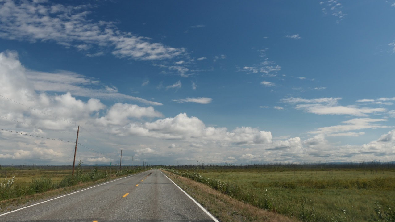
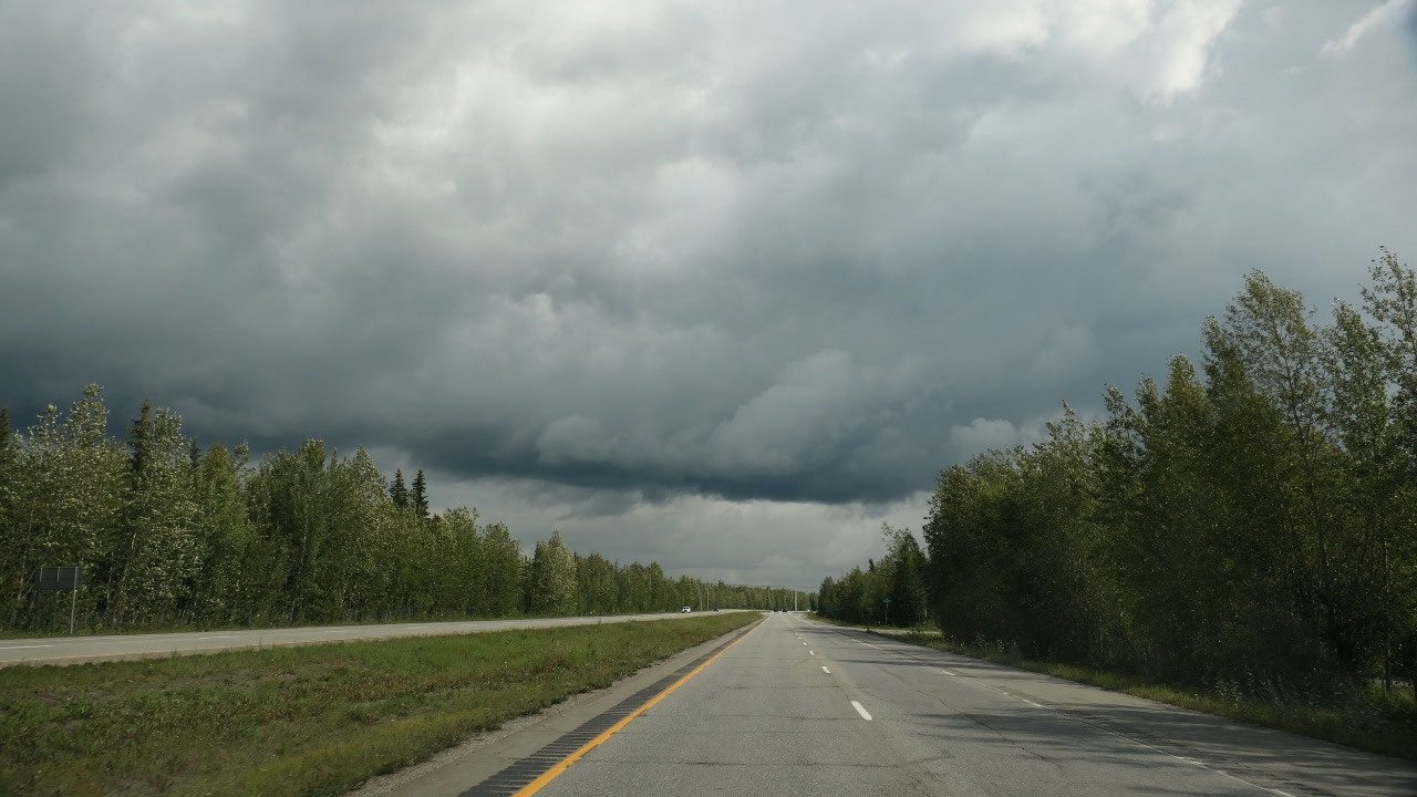
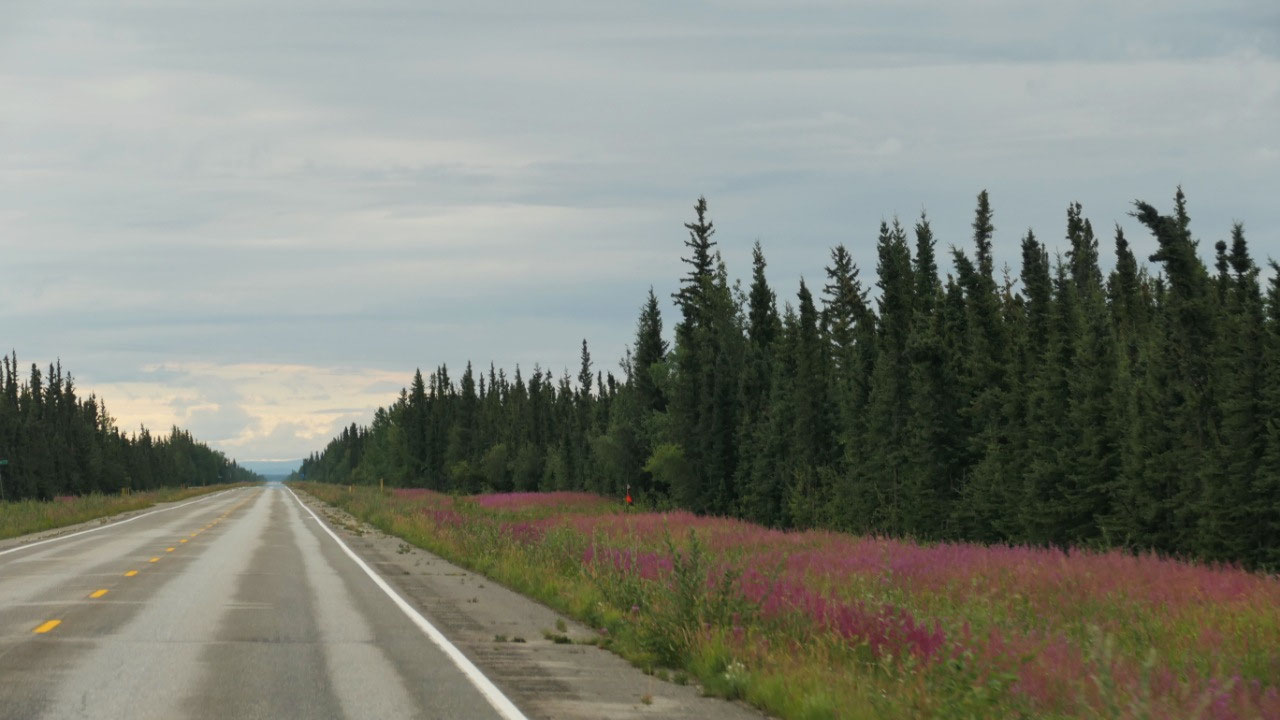
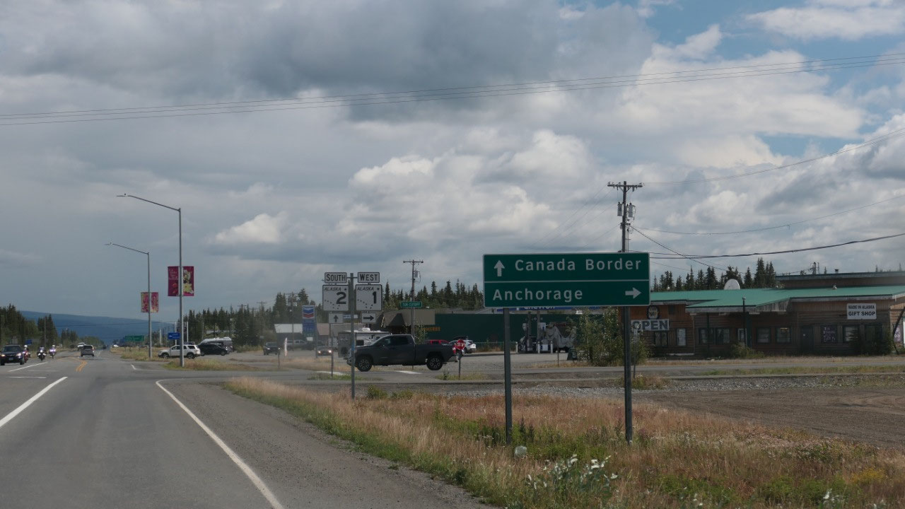
Along the Alaskan Highway
As most of the people drive from Mile
0 to the end we do it in reverse. As we leave we see a sign stating “Canada
Border” – yes we go towards “home”. Today we drive until Tok – the part from
Whitehorse to Tok we drove when coming into Alaska and the stretch from
Whitehorse we will head back home.
As we drove along there ist he Delta
Meant and Sausage store: and yes we stopped and decided to get some Reindeer summer
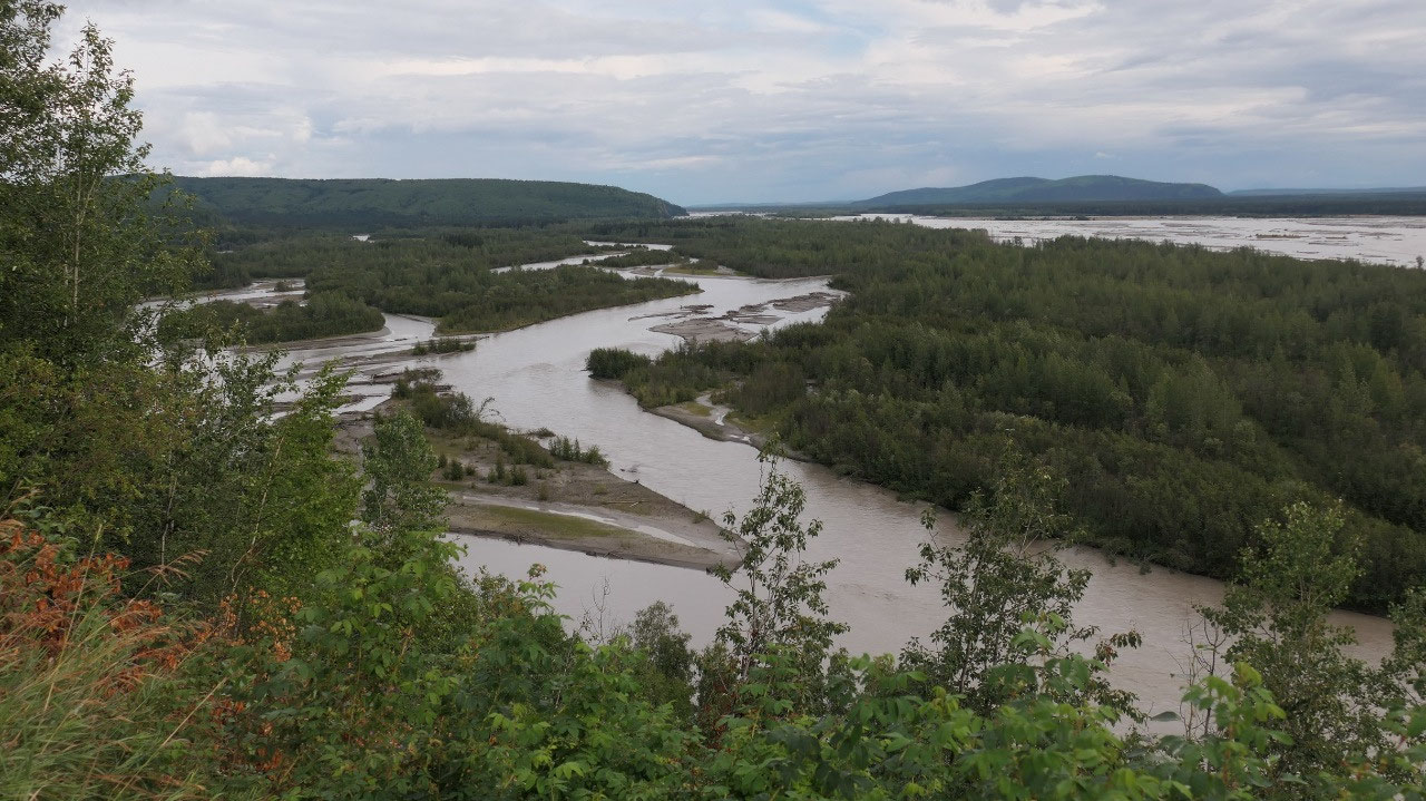
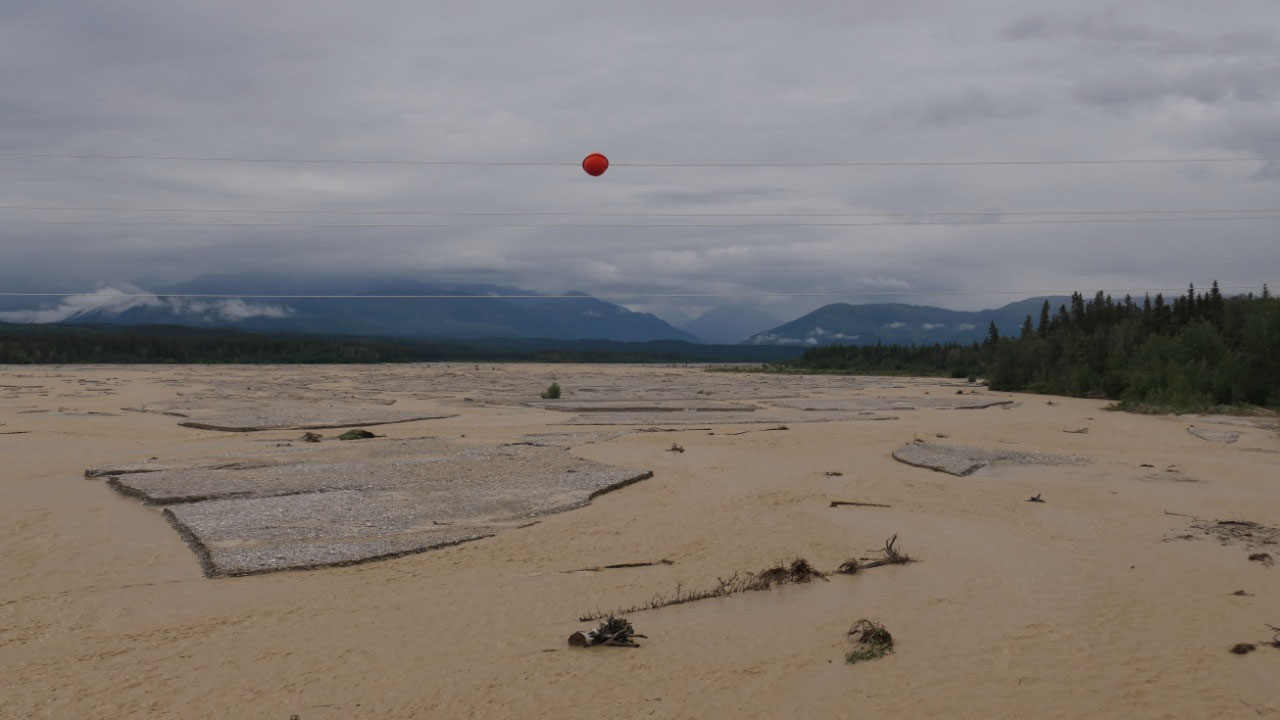
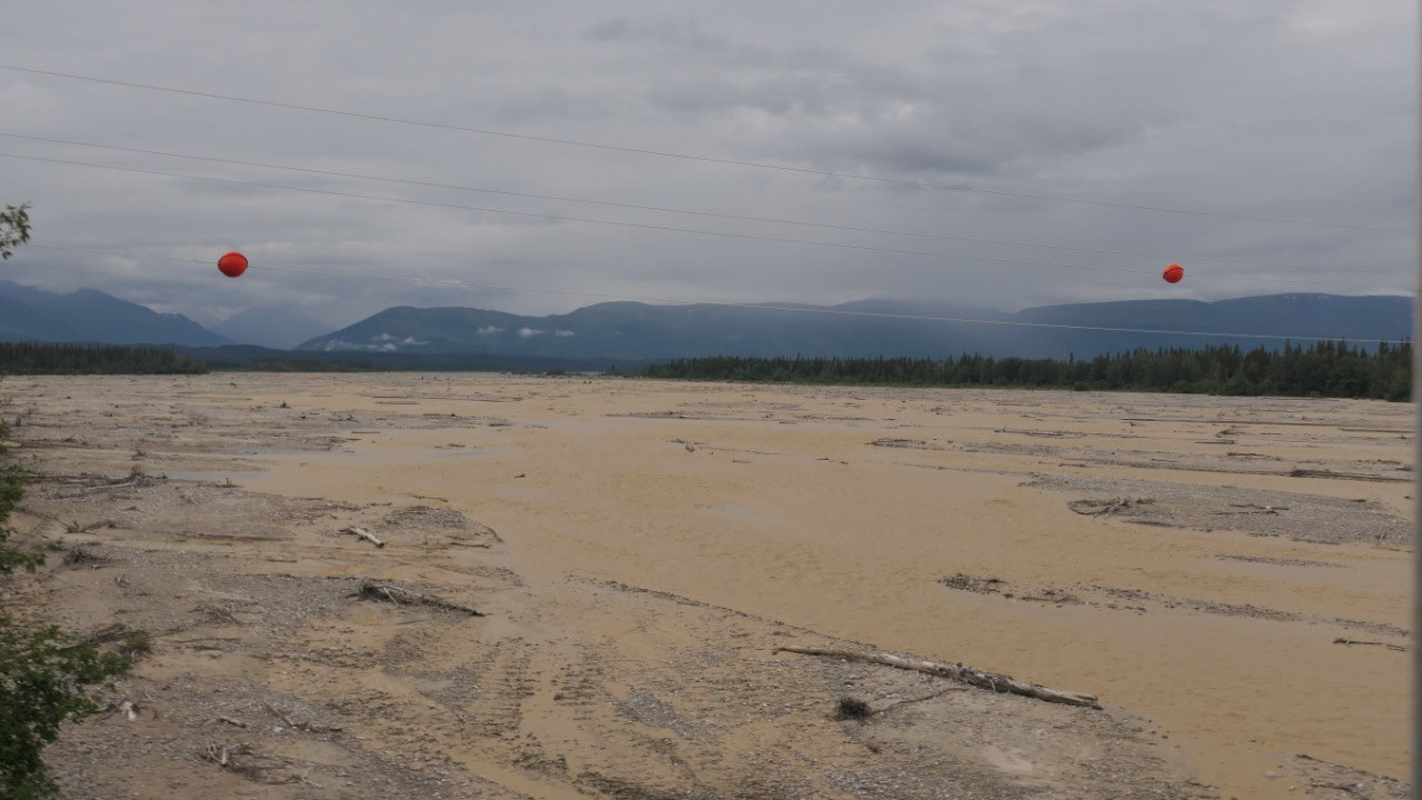
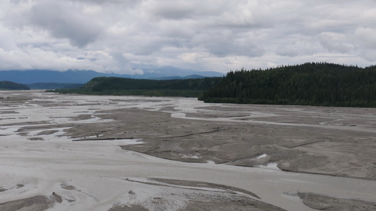
sausage as well as some Elk sausages. We did cross some cool rivers – and every
one was overfull – one time the water was super brown. On this part of the
highway there were a lot of dips – always up and down, I told Paul he needs to
learn to drive smoothly and he says I should choose better roads…
Otherwise nothing was truly
spectacular on this stretch on the highway.
We loo
se Air in Tok
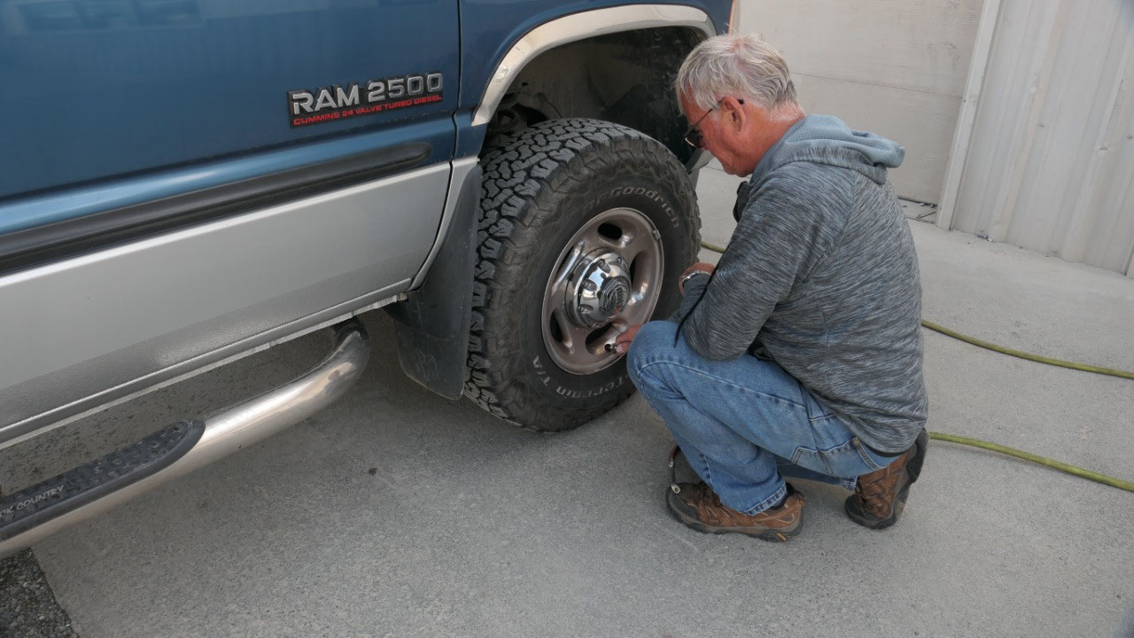
As we will go now on the
Top-of-the-world Highway which is partly gravel and then onto the Dempster
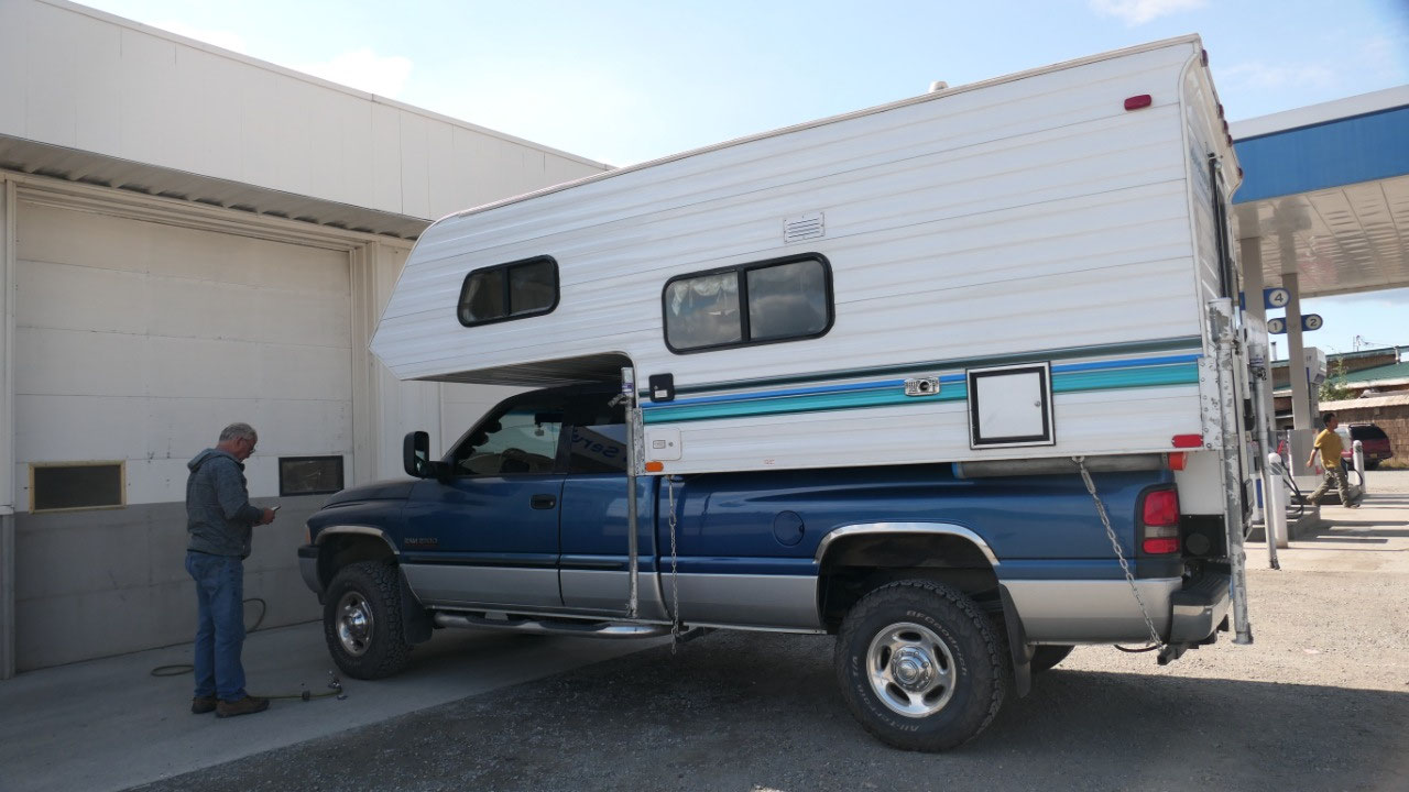
which is gravel – Paul checked on the internet and everyone recommends to have
10 less than recommended pressure in the tires and so instead of putting air into
the tire we let the air out of all the tires… Also we had to clean our front
windshield – even we only cleaned it like 2 hours ago – it is amazing on how
much dirt we can collect (or how many bugs we can kill).
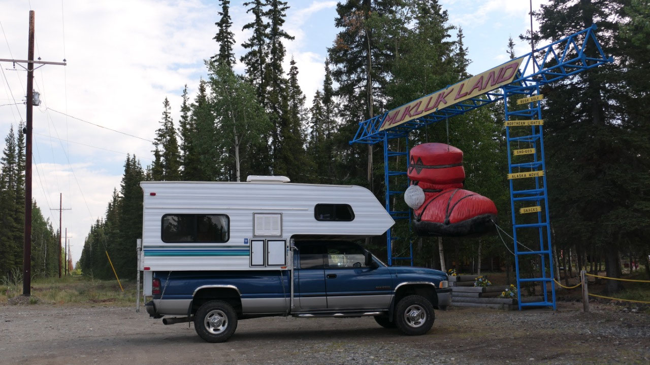
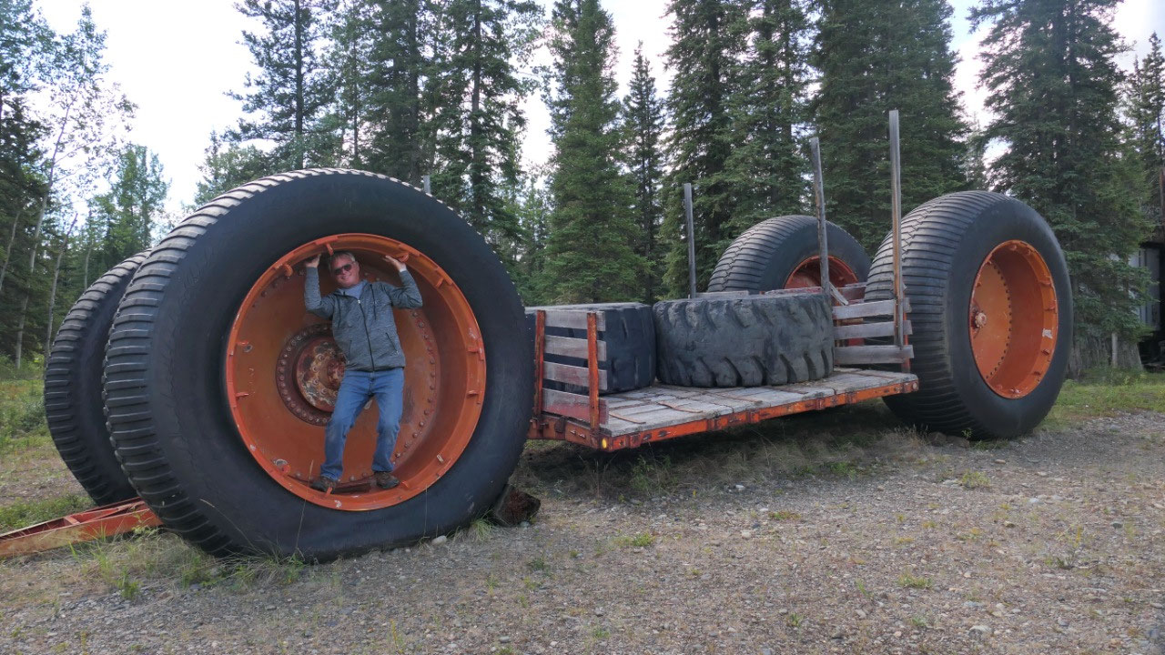
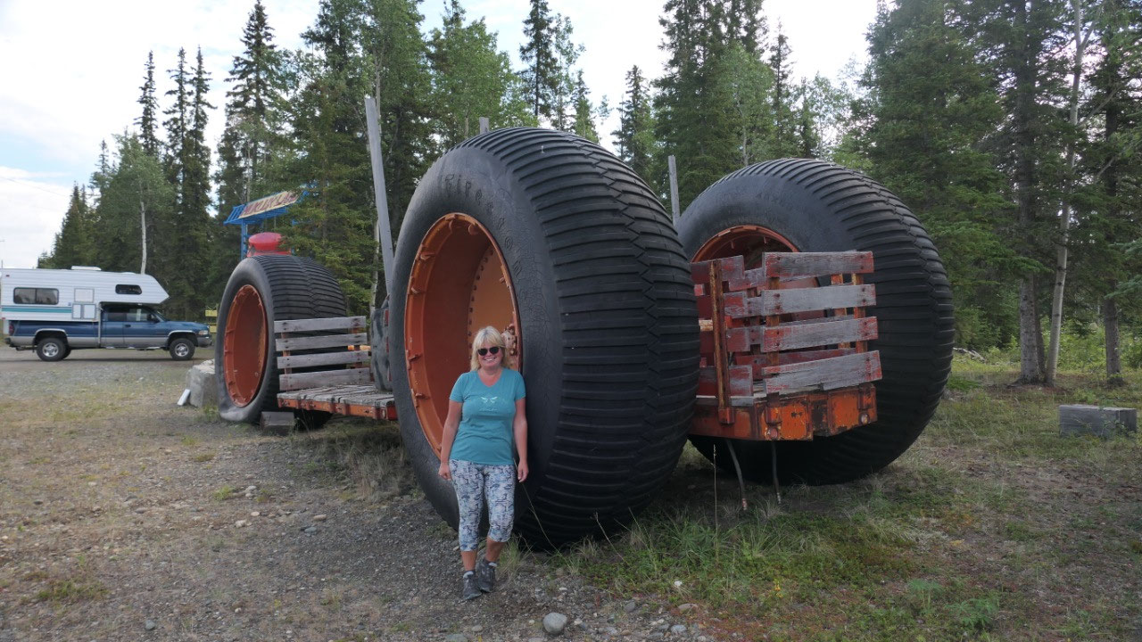
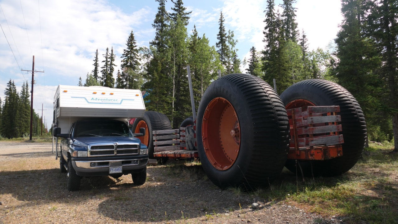
A quick stop in front of the Mukluk
land (which Paul said he is not interested in), but we got a super cool picture
as they had a thing there with tires as tall as our Truck and camper – wow that
is cool.


2025-05-22