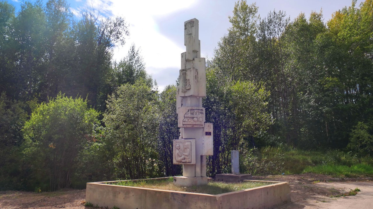
 Hudson's Hope, British Columbia, Canada
Hudson’s Hope
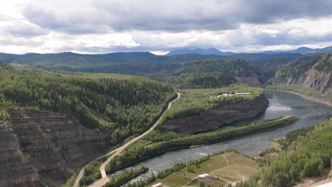
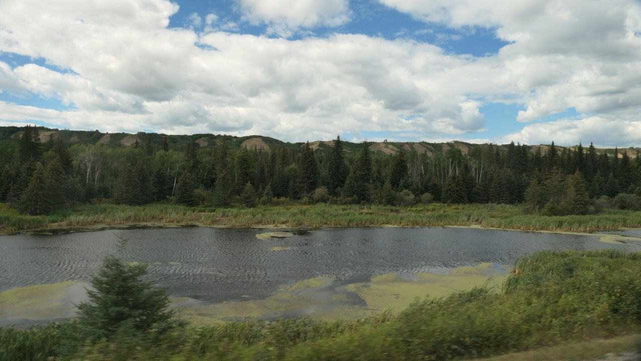
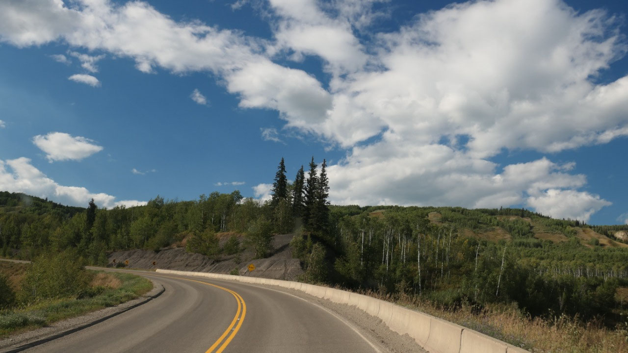
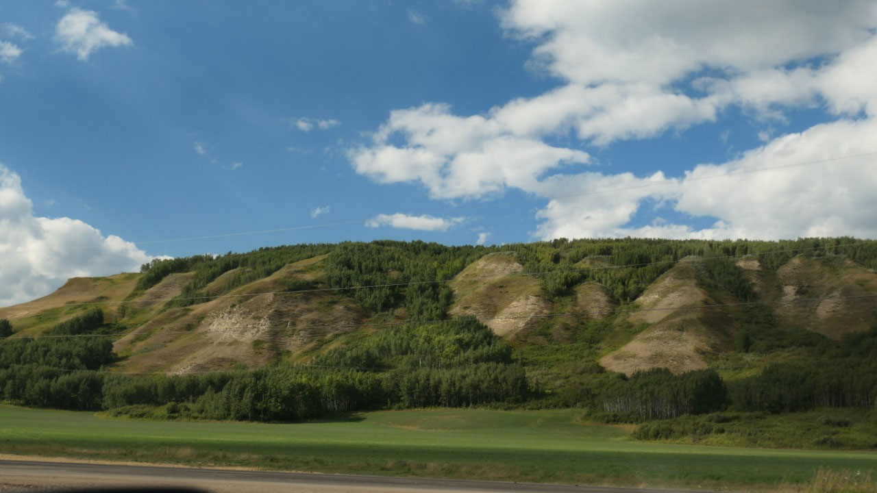
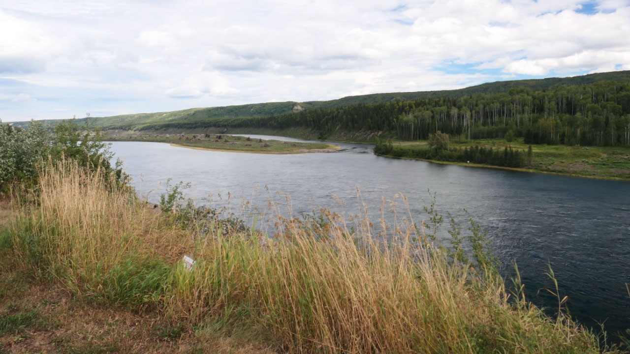
Along the Peace River Valley
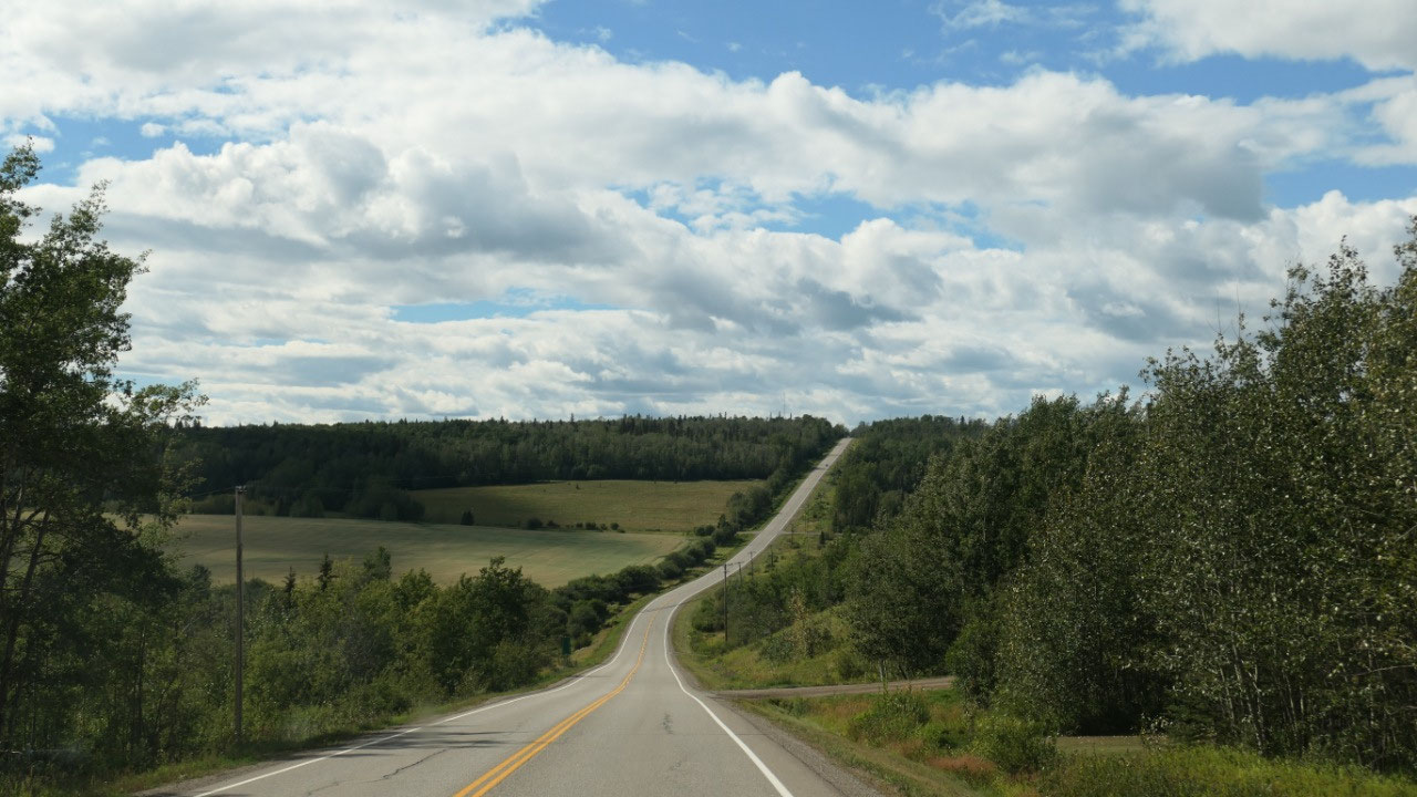
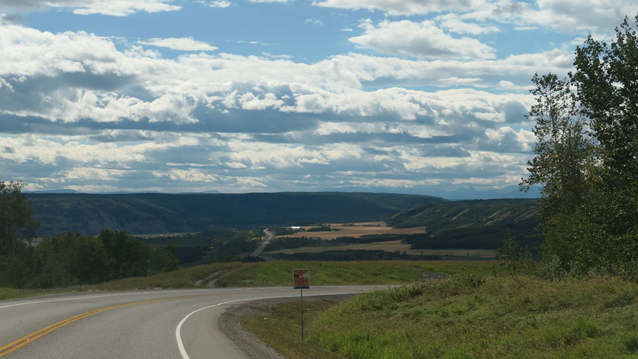
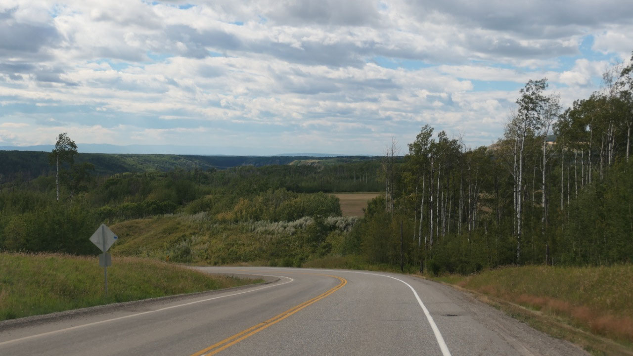
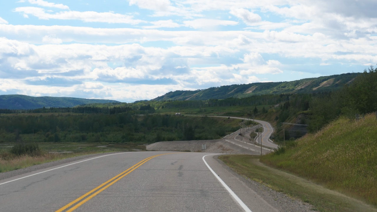
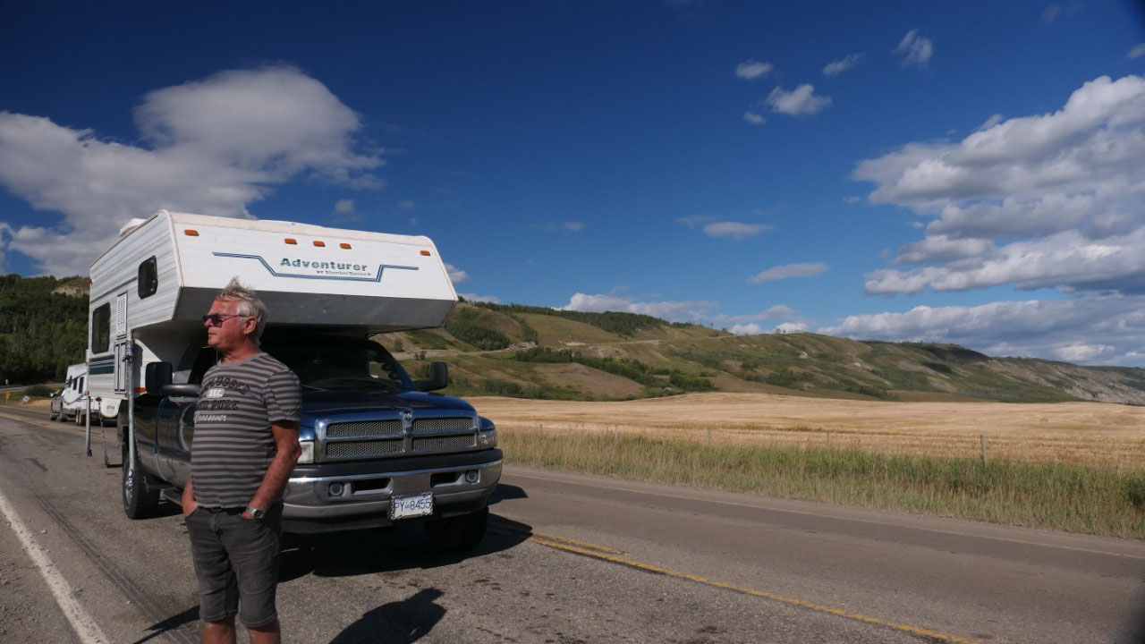
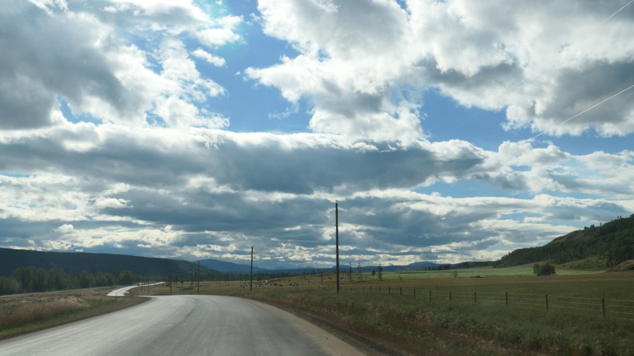
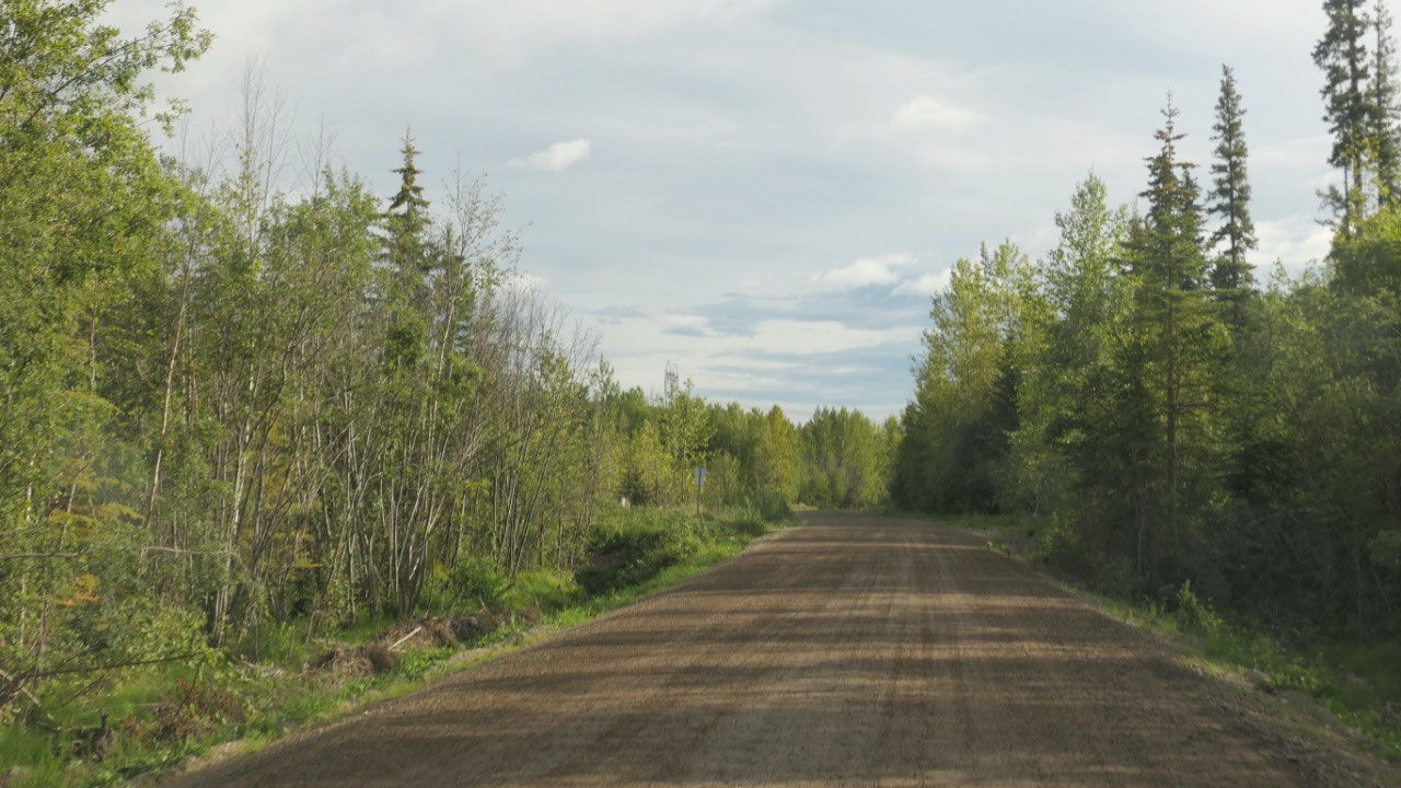
After some shopping we headed along
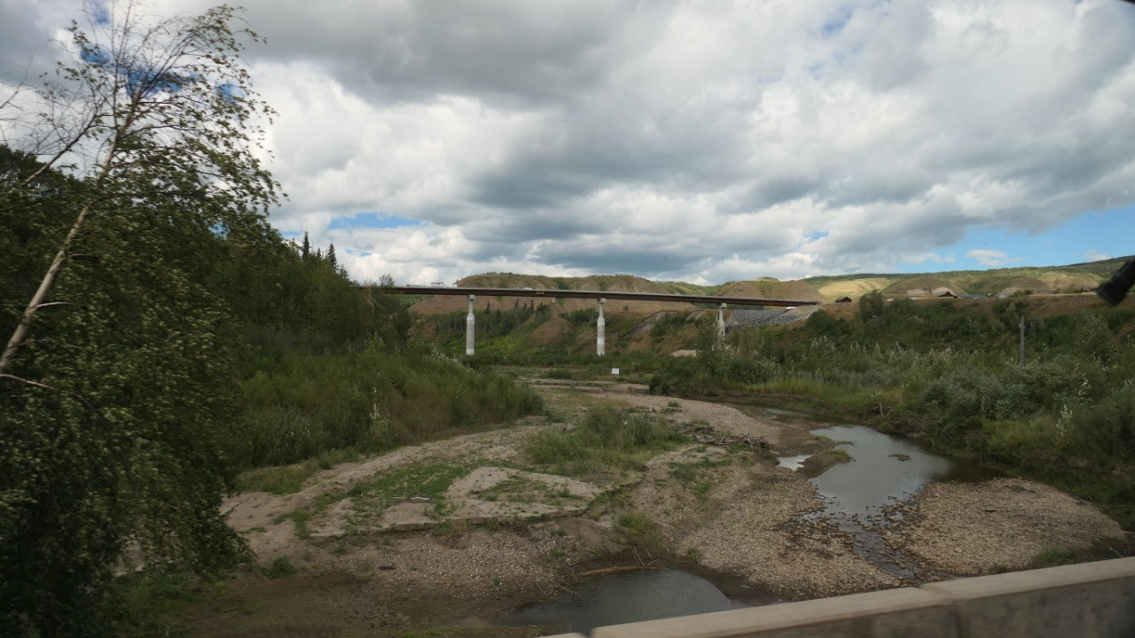
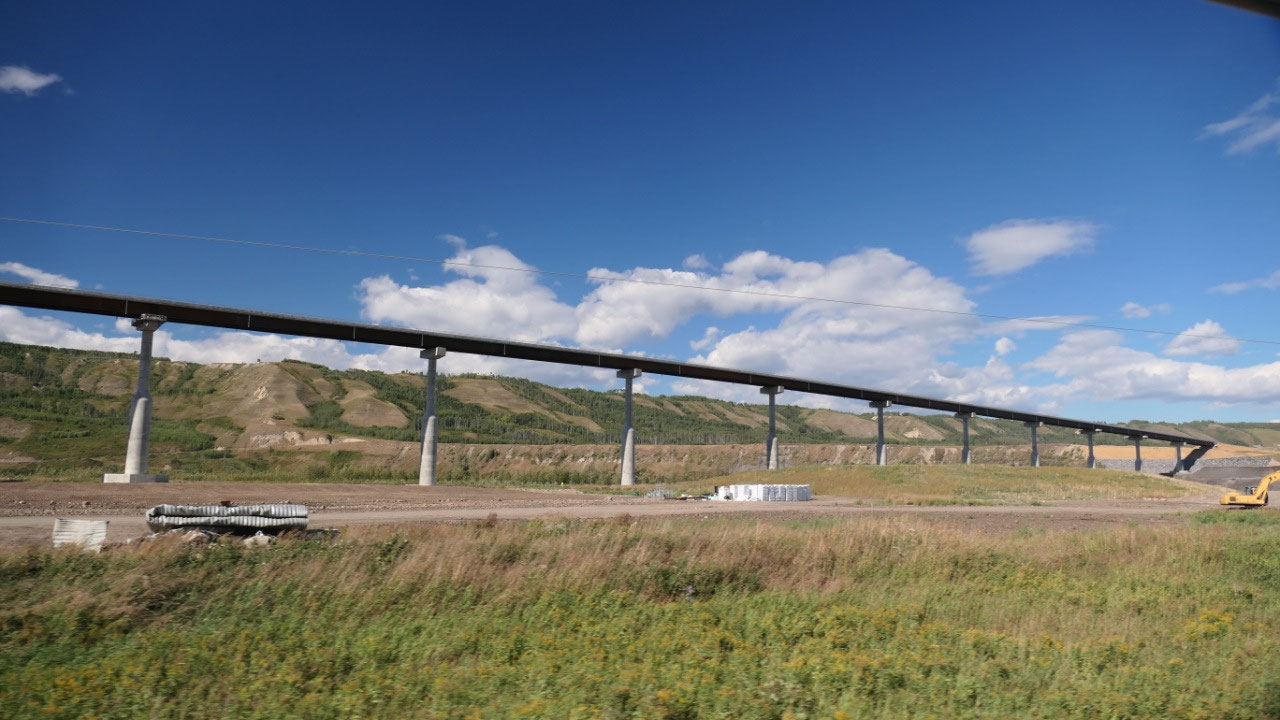
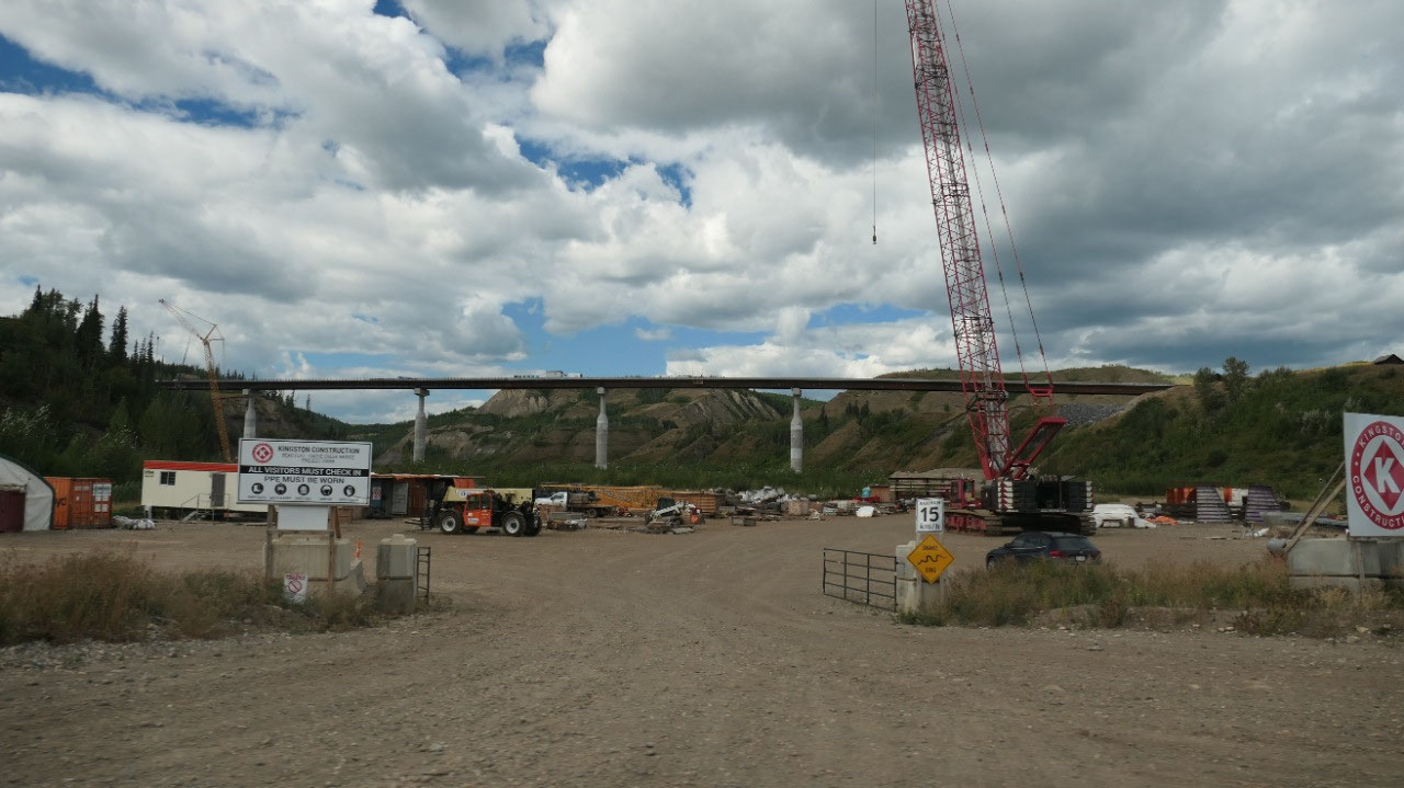
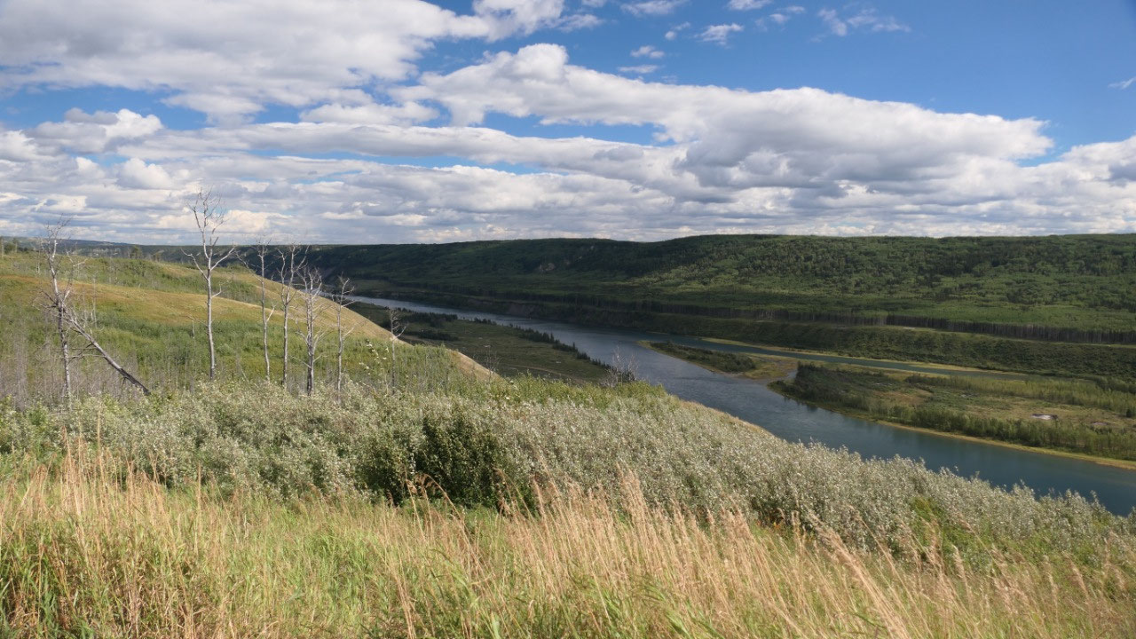
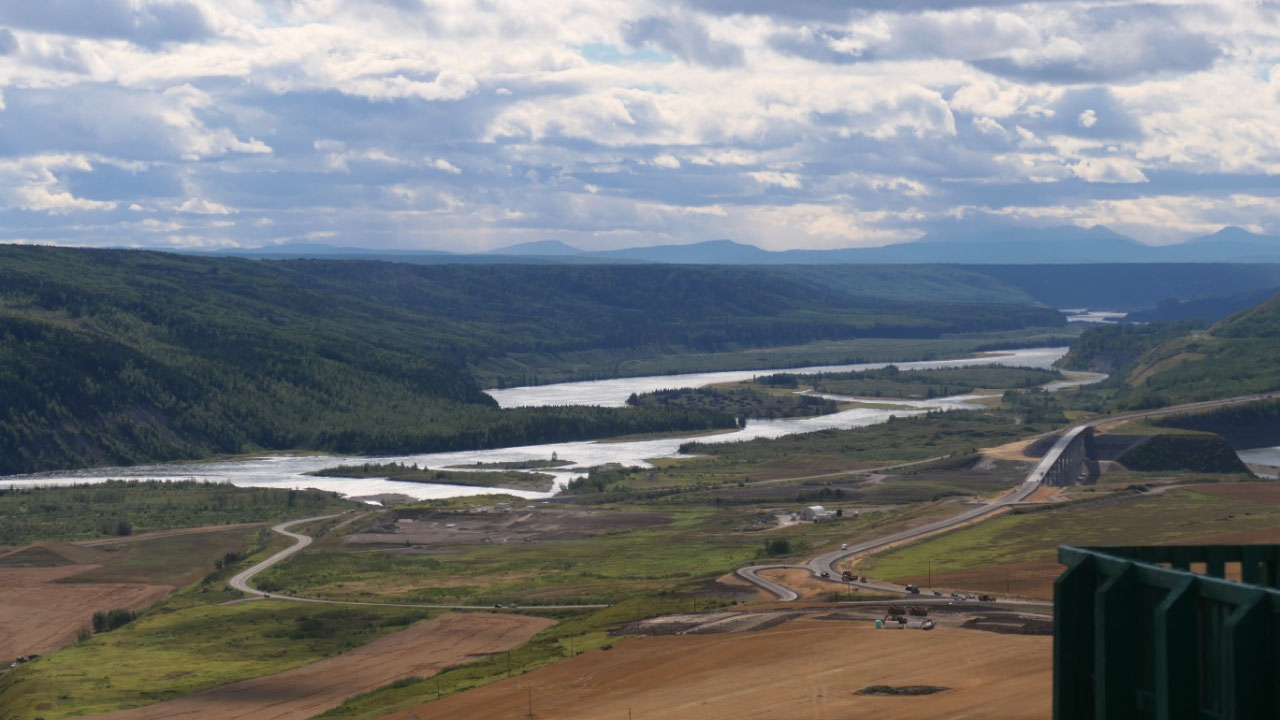
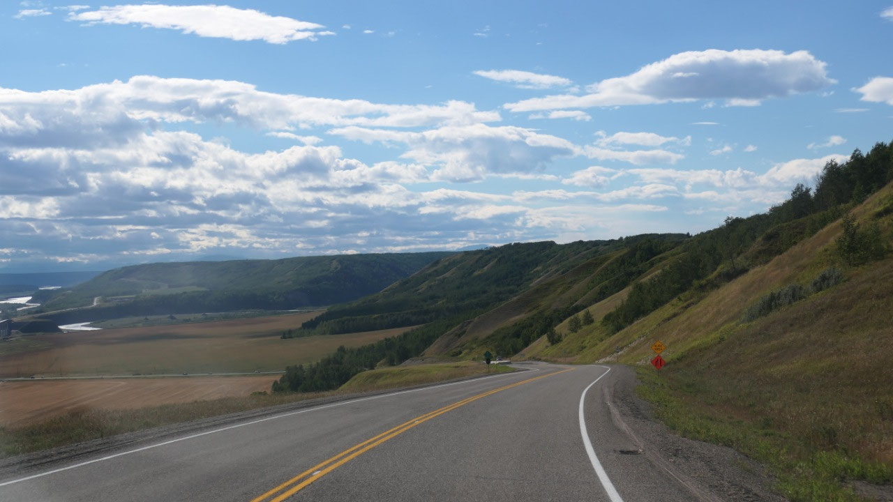
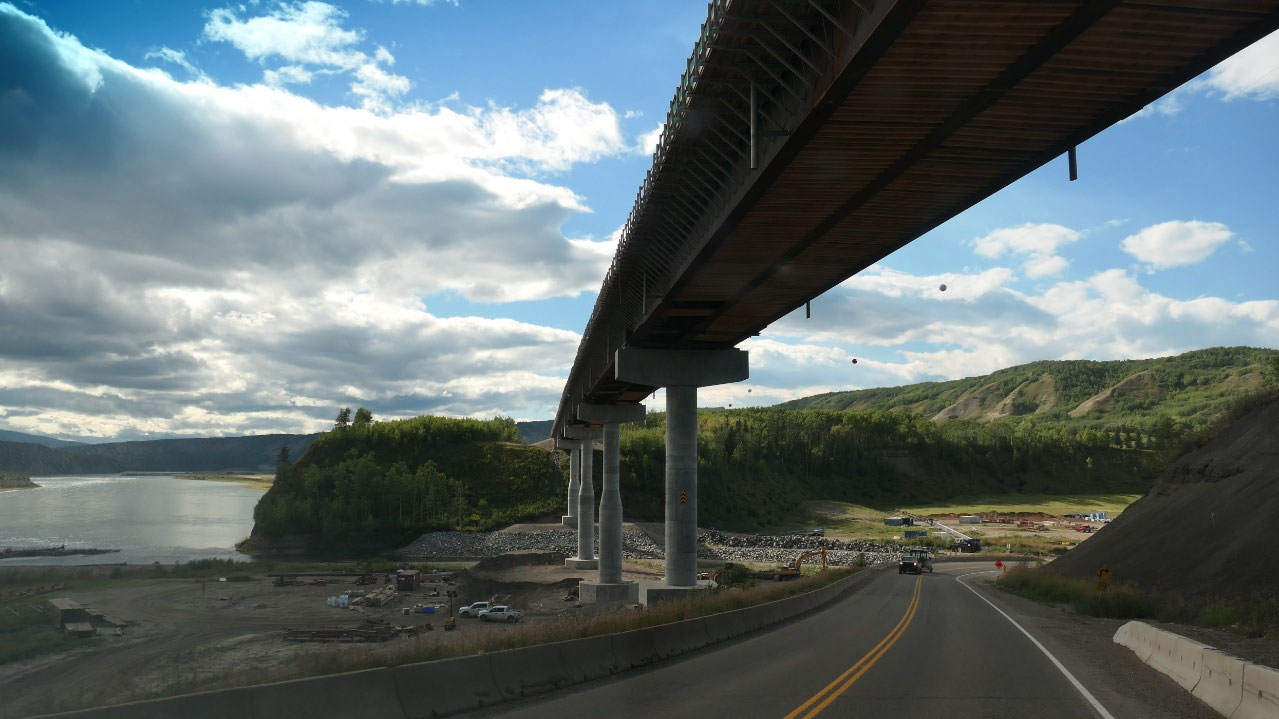
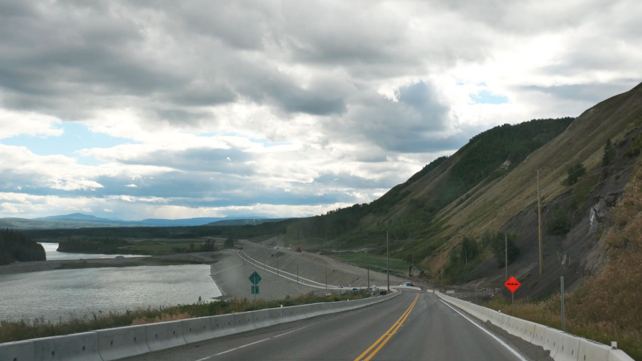
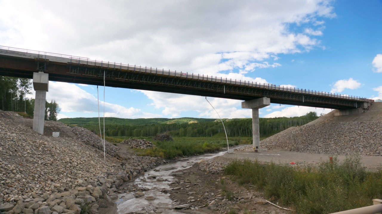
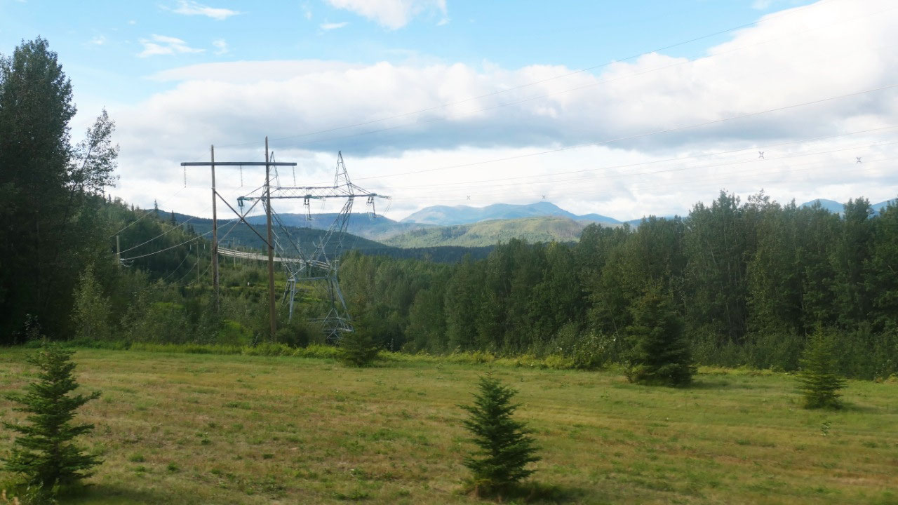
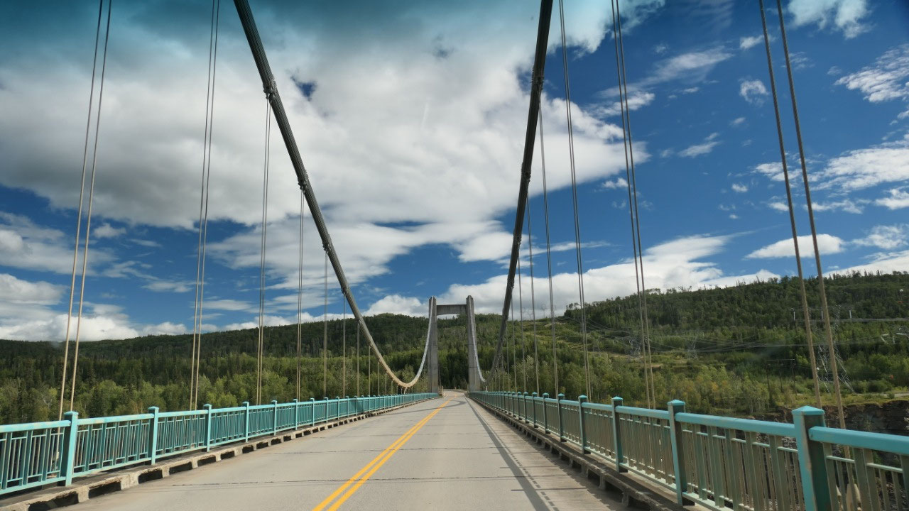
Hwy 29 into the Peace River Valley – this was super interesting as this is the
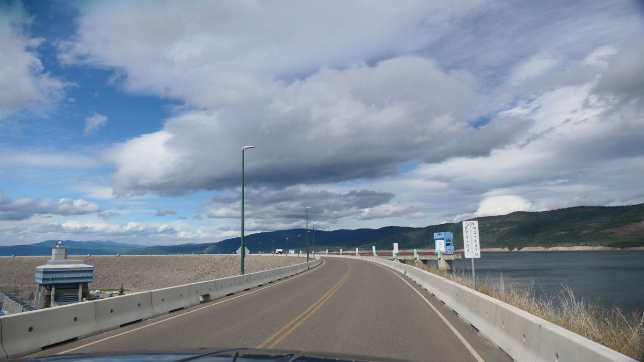
valley which will be flooded for 83 km. It got interesting when we drove down
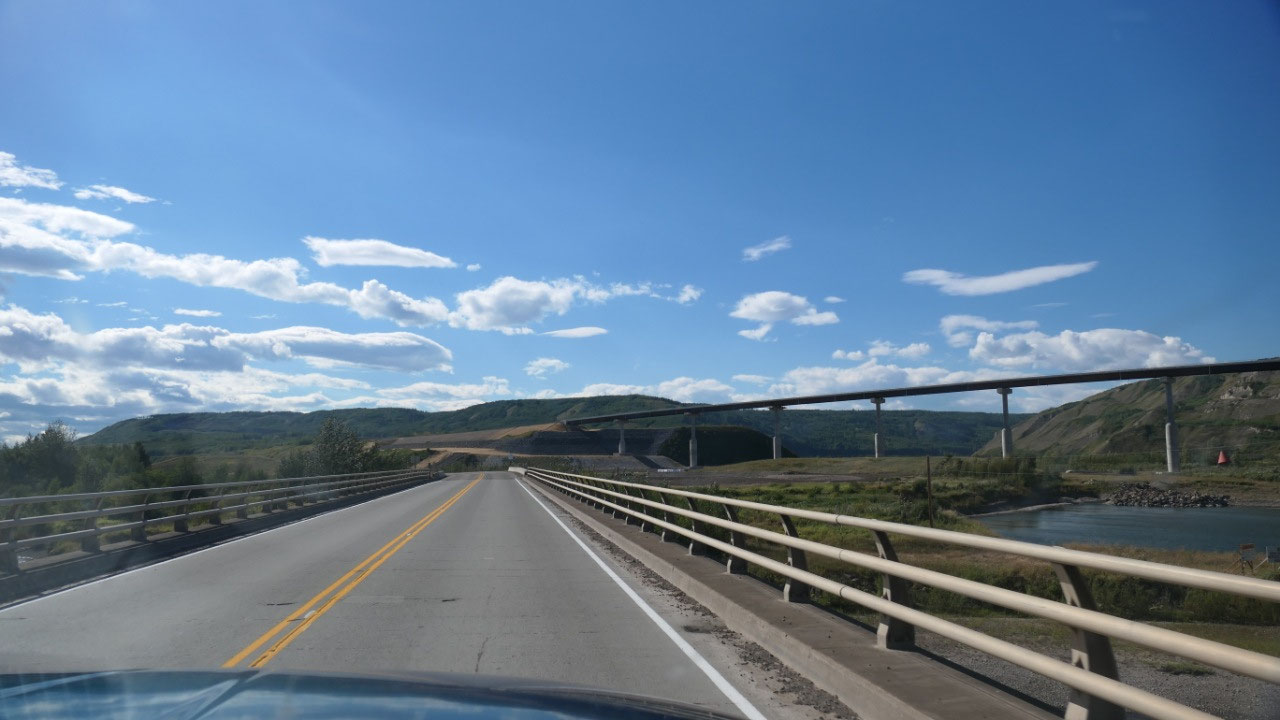
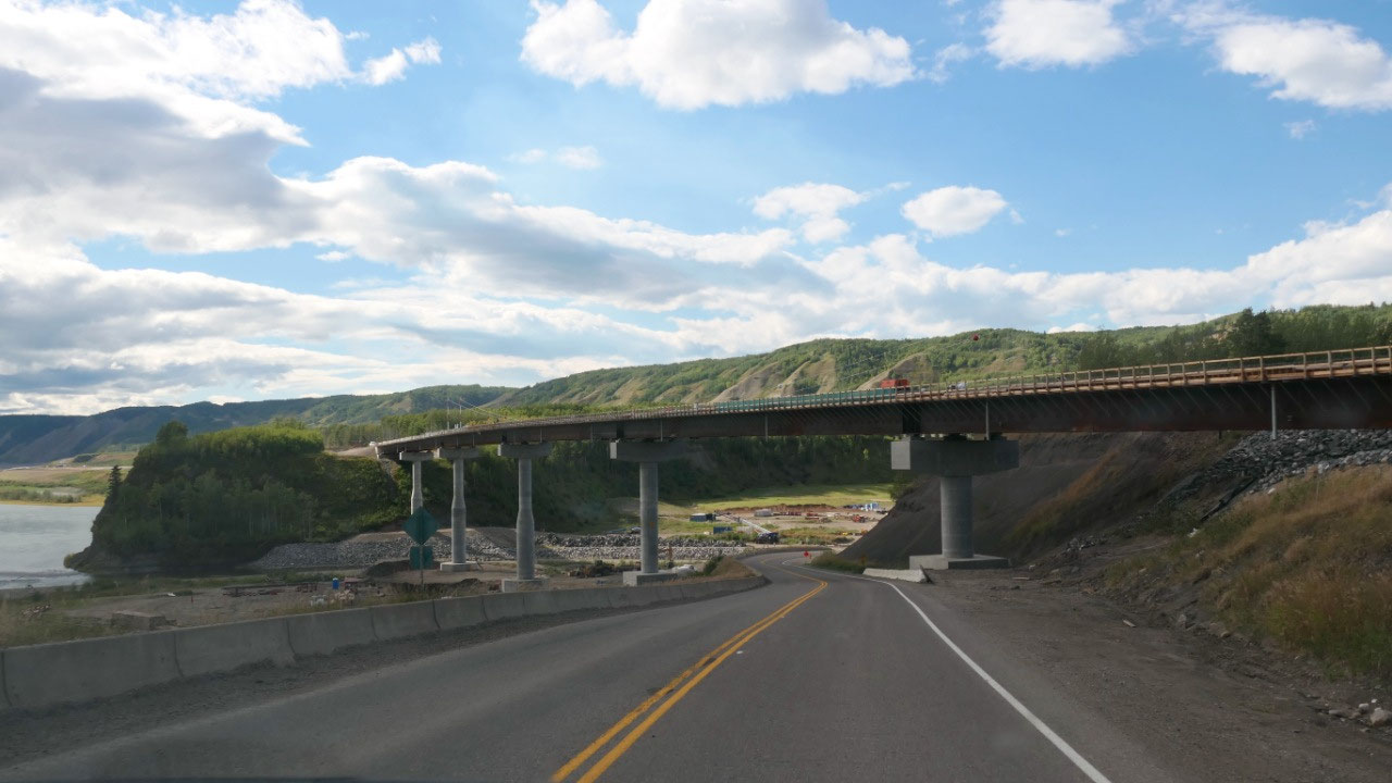
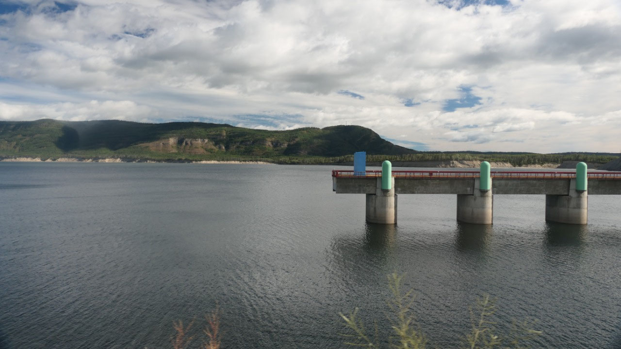
the first time into the Peace River Valley and we could see the first gigantic
bridge north of the current highway – on how the pillars are built you can see
on high the water will be and that makes you realize on how big it actually is:
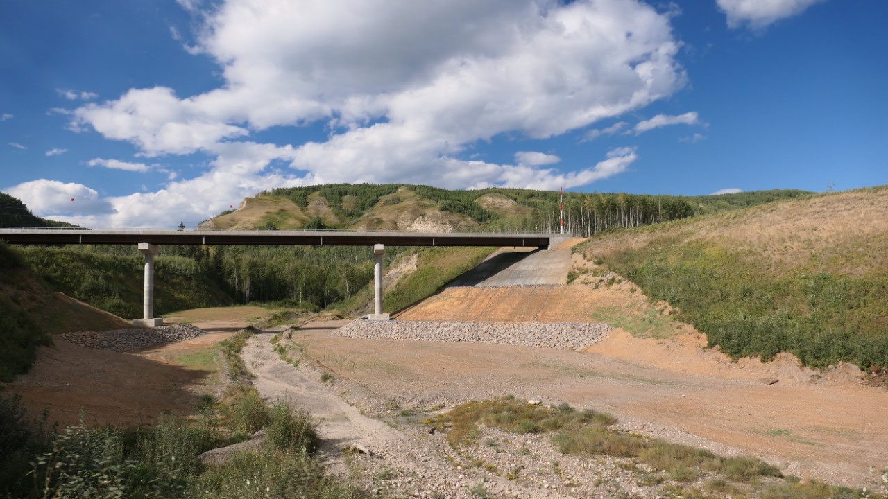
what today is a tiny stream will once be covered by a lake. And as we continued
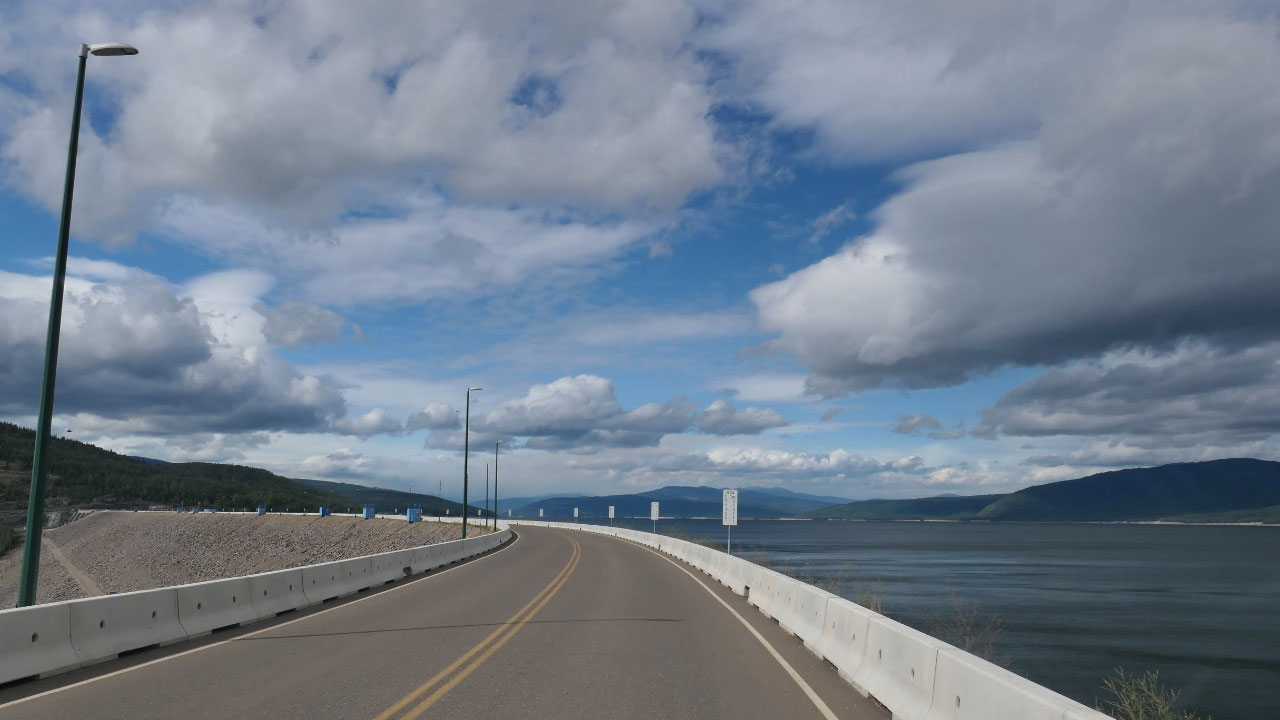
on we saw several of those bridges, we also saw where they stabilized the land
up from the road and new roads are built. As it will be flooded in another 1-2
years the road we are driving on today won’t be there for too long anymore.
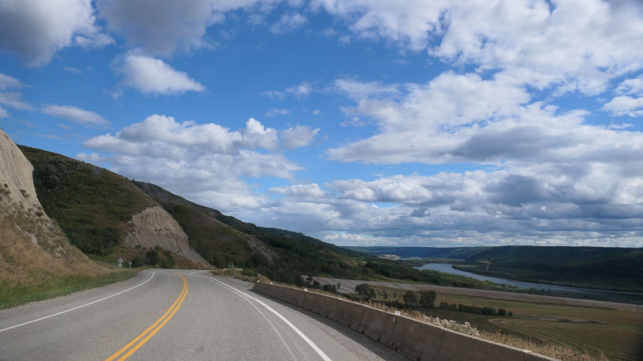
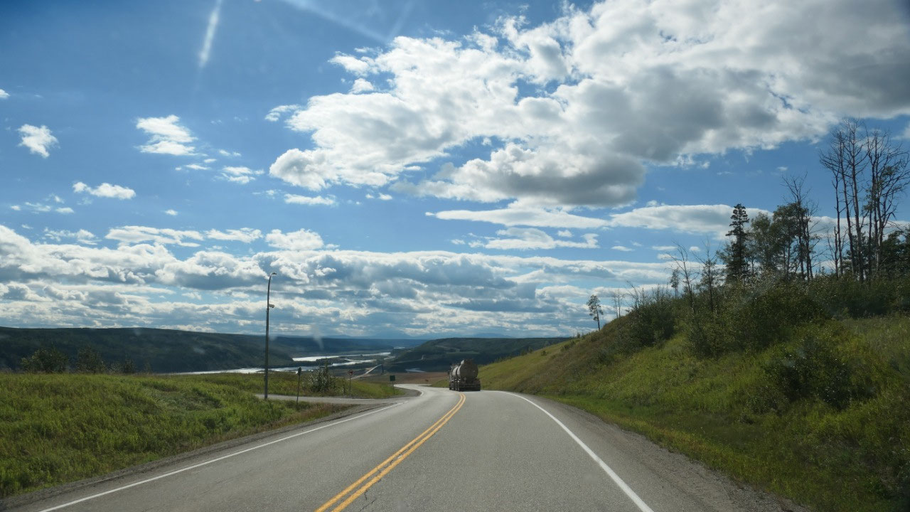
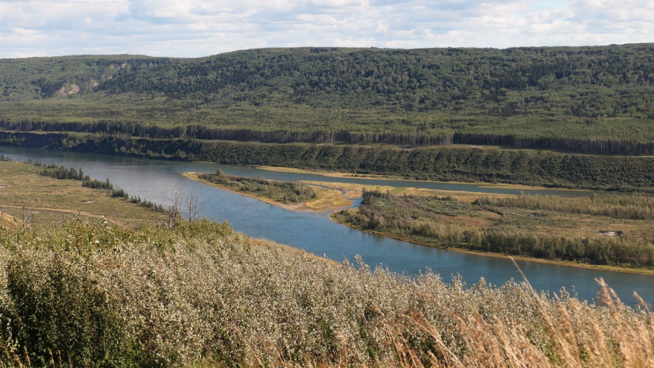
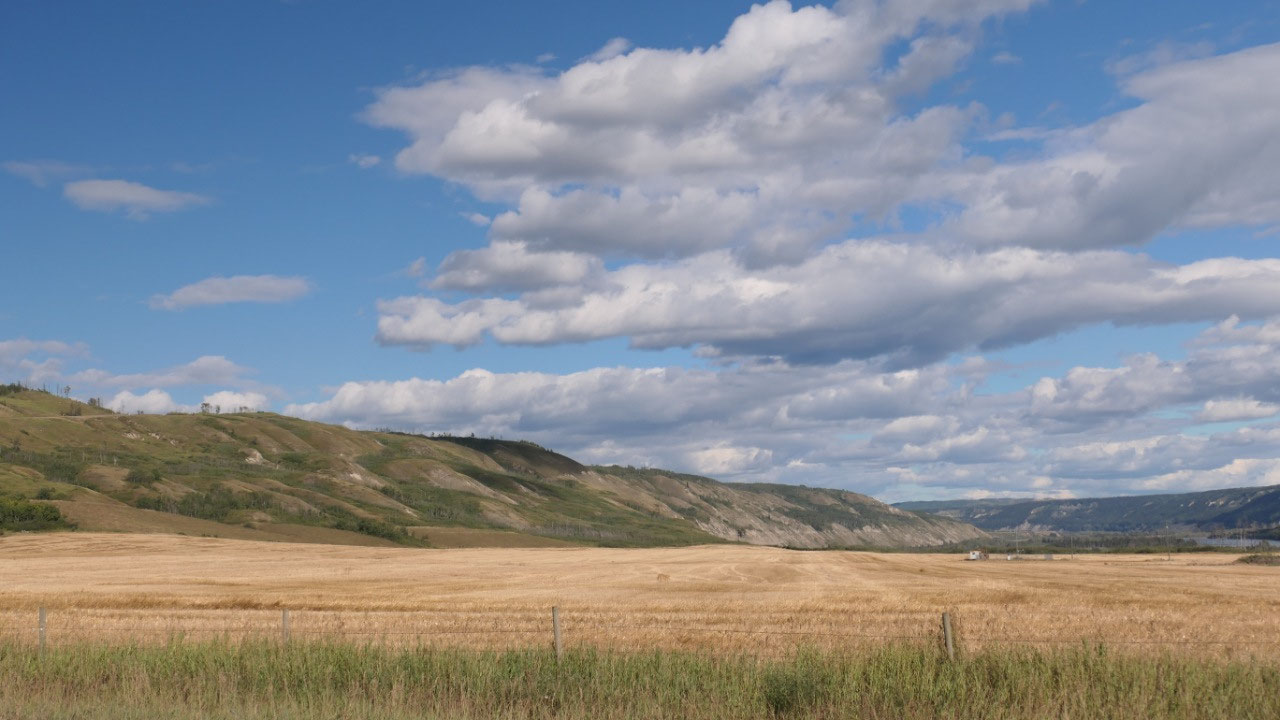
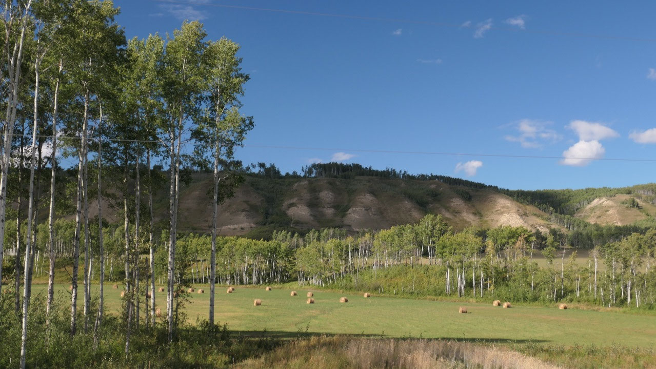
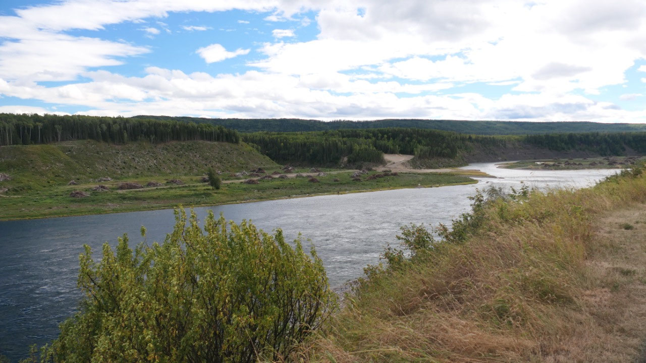
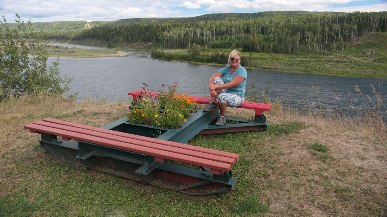
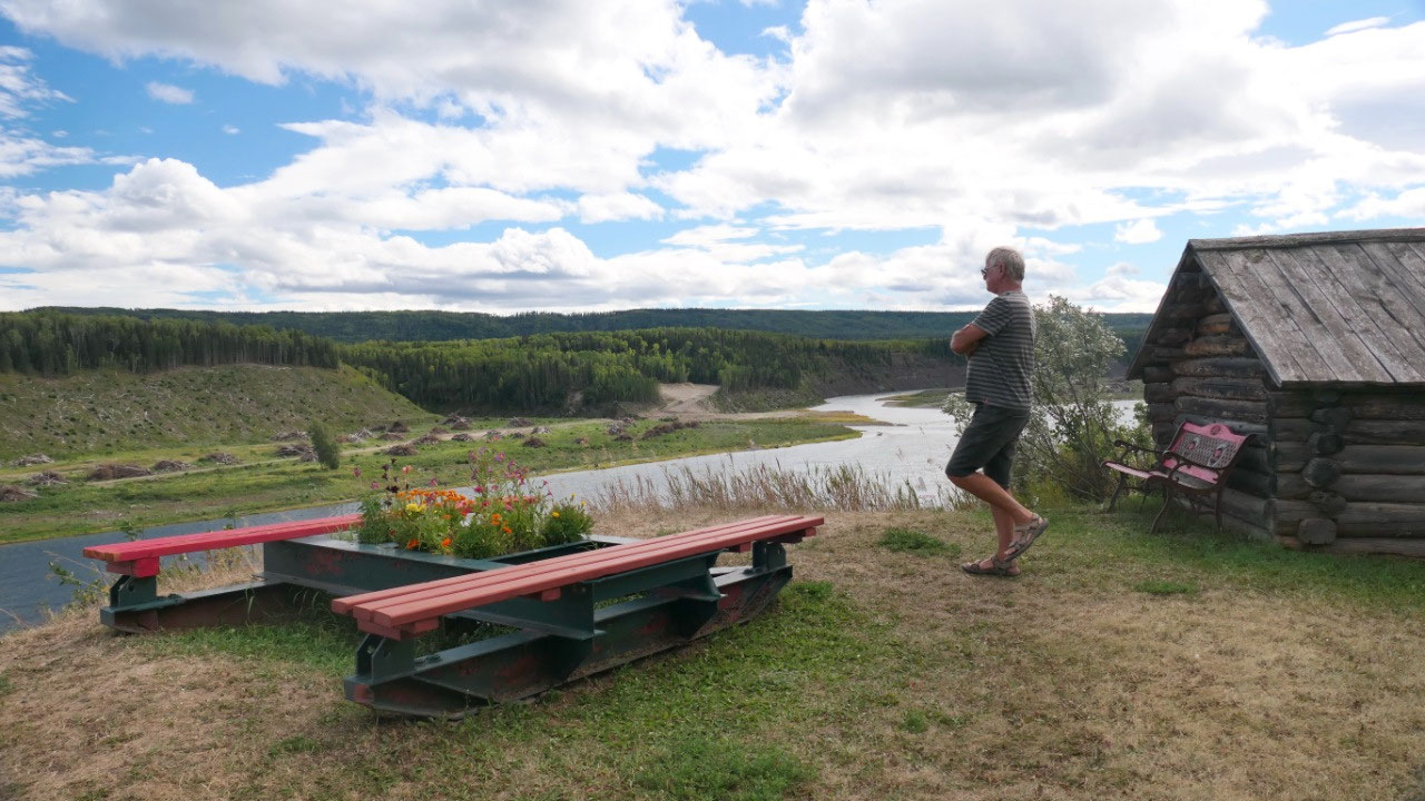
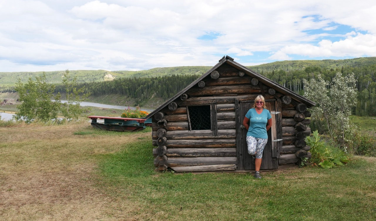
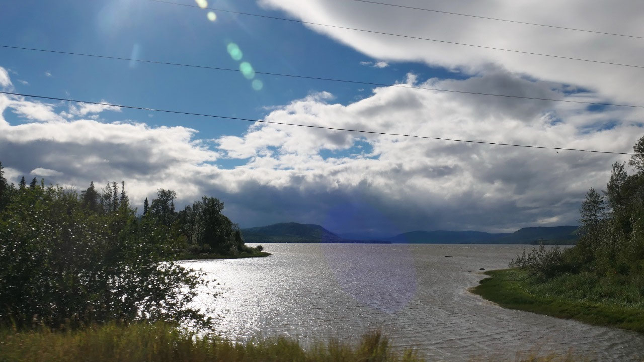
Coffee at Peace River Valley Viewpoint
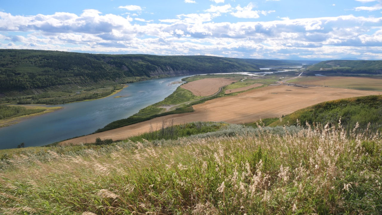
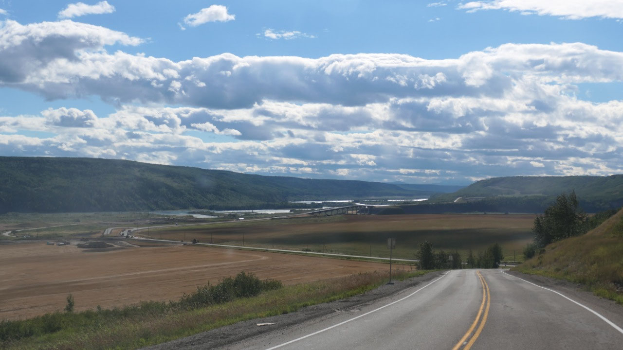
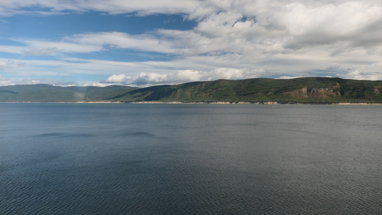
For coffee we stopped at the Peace River
Valley Viewpoint and this is one super cool viewpoint with amazing views down
on the river as it meanders through this cool valley. It was also super windy –
I mean so windy that we had the coffee inside as otherwise everything would
blow away. From up here we could see another new bridge and road they will
built – and we were wondering what happens once all this is covered with water.
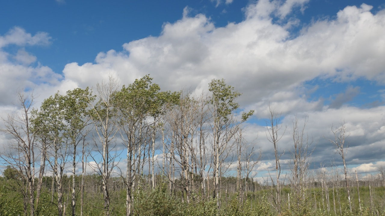
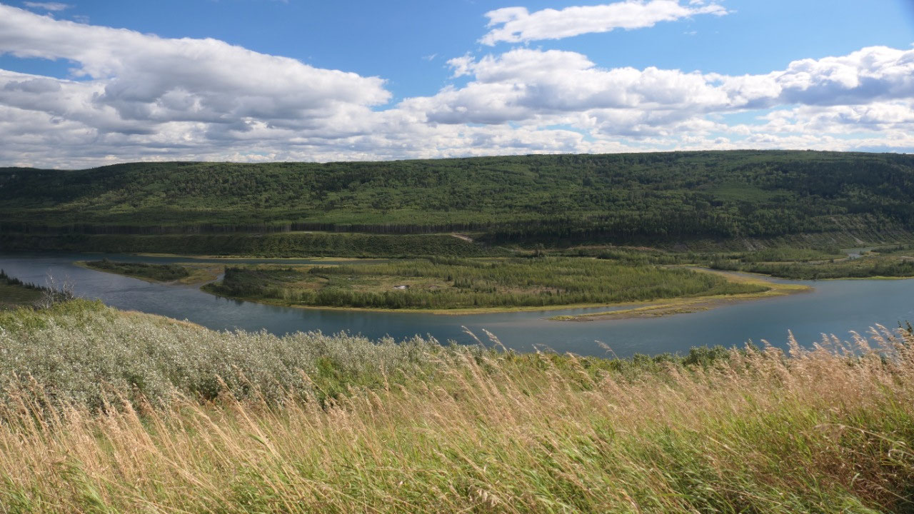
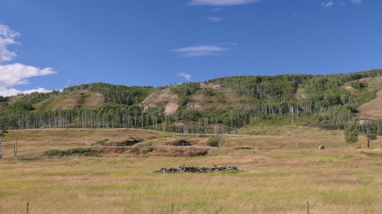
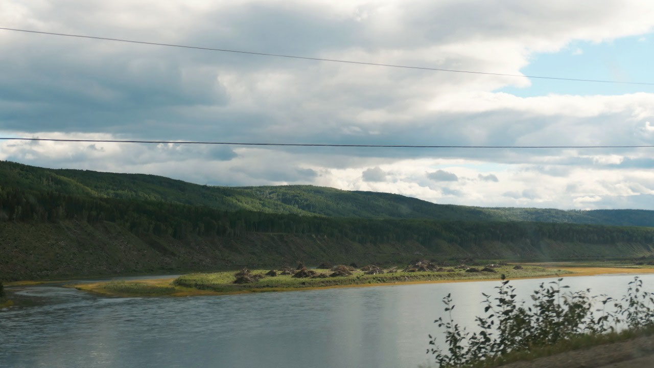
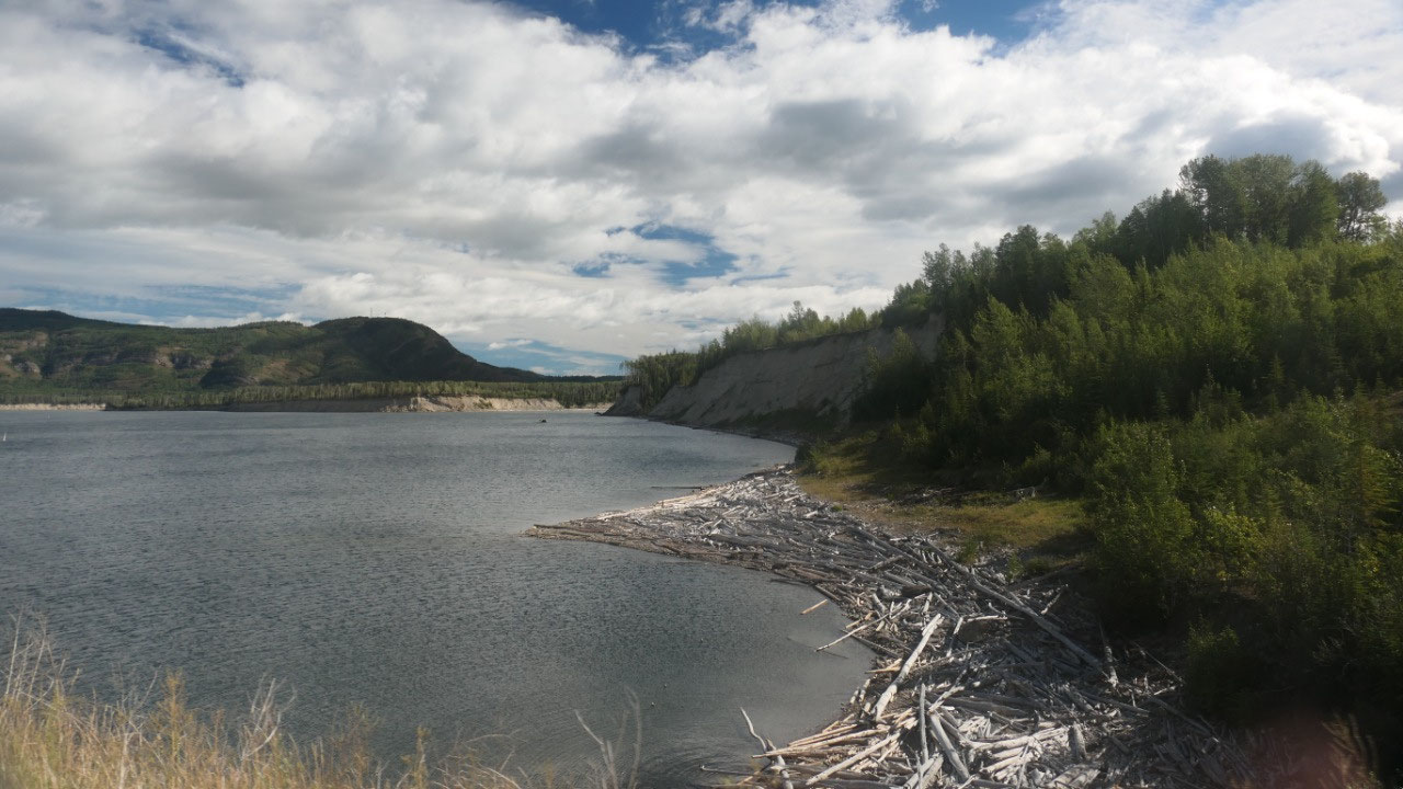
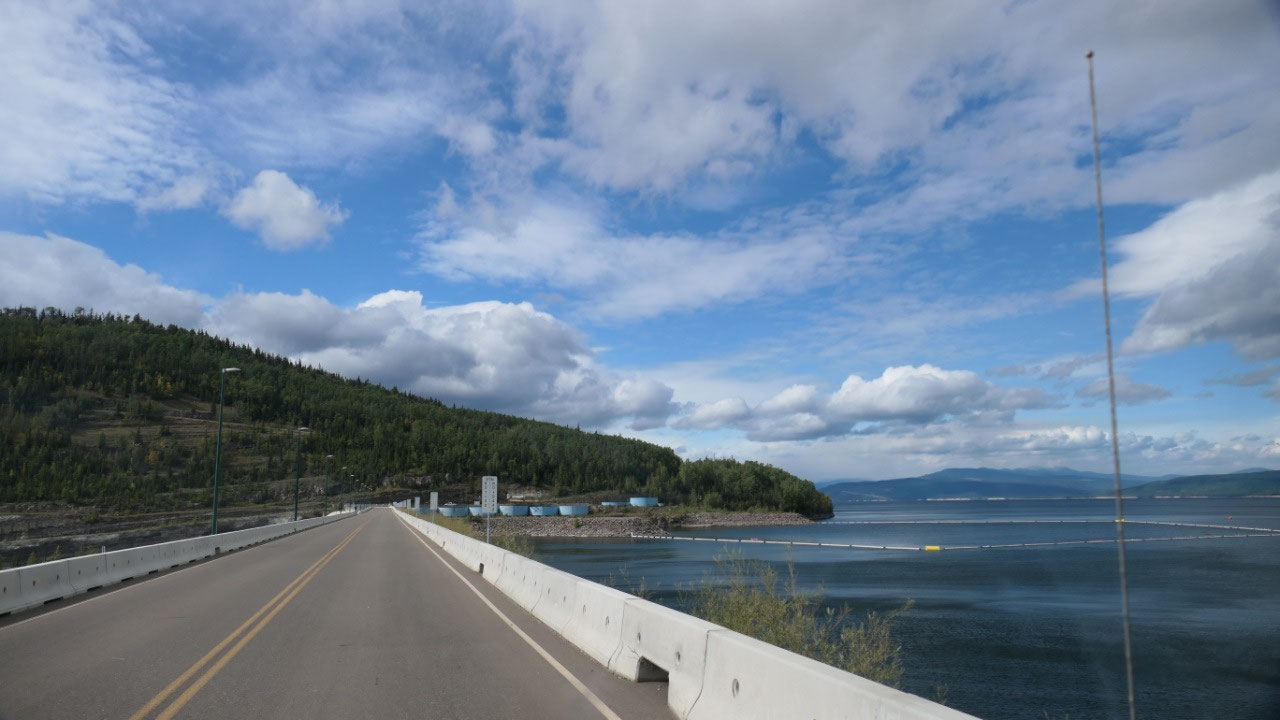
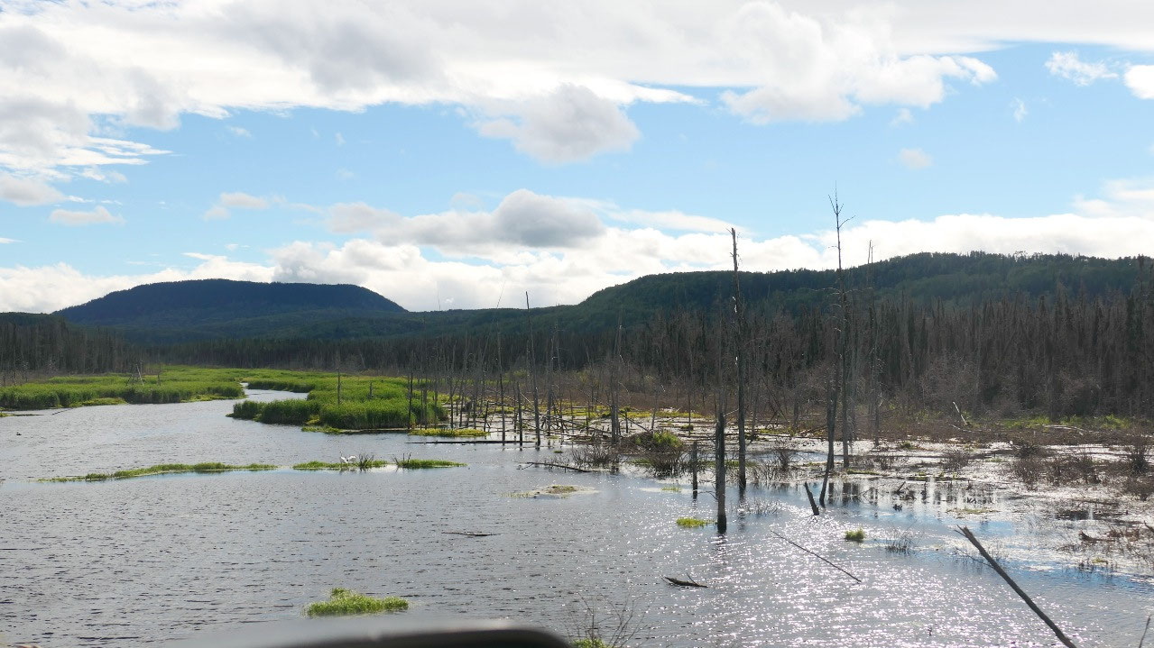
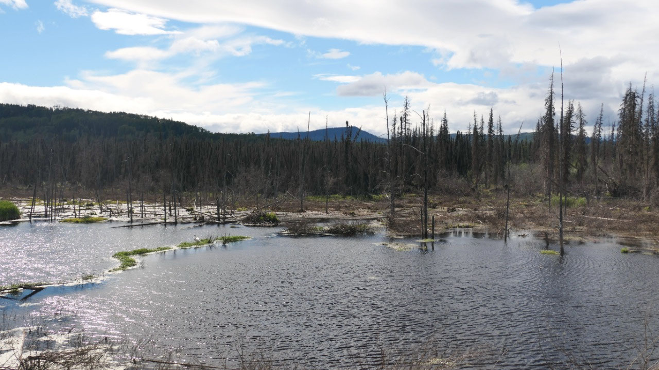
As we continue on we can see piles of
wood from trees they removed – we could see the line on high the water will be.
And it also made us realize on how much work is involved in building this Dam.
In the Peace River Valley:
- The original name of the Dane-zaa was Tsa Nachii “Beaver River” – the Beaver people lived here since the last ice age
- the Cree people came and the Tsaa’che ne fought with them to protect their land: the Beaver and Cree made peace at Unchaga (Peace Point/Alberta) at the banks of the Peace River and this is how it got its current name
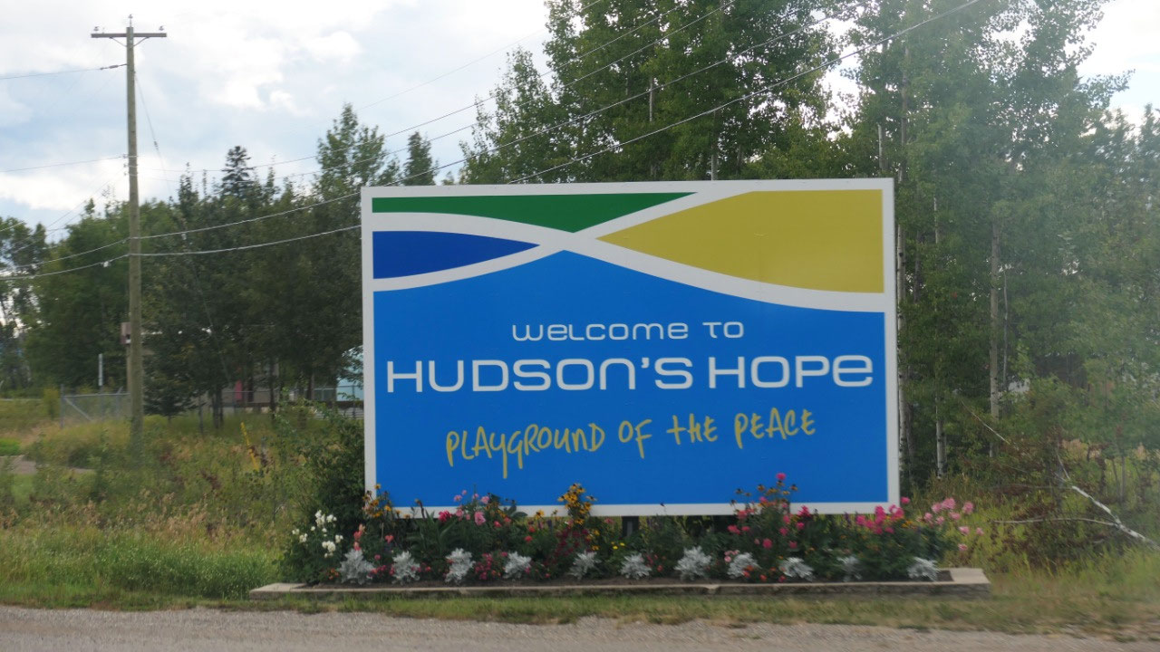
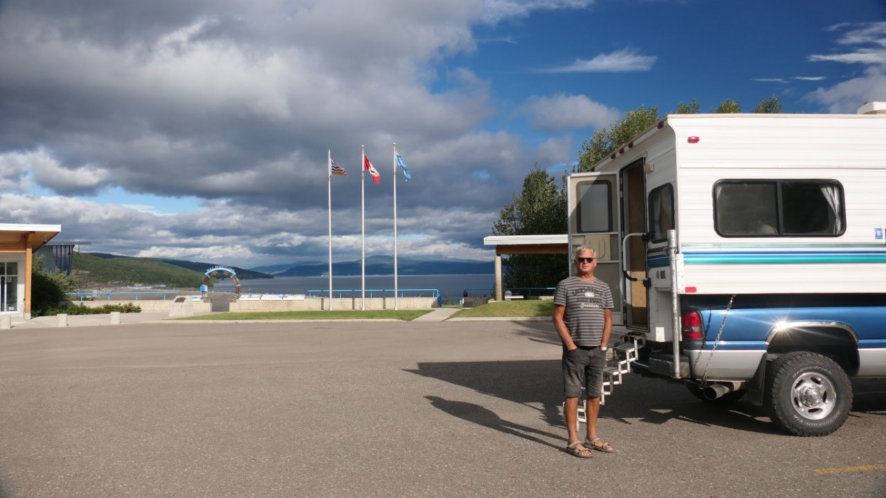
And we arrive in Hudson’s Hope
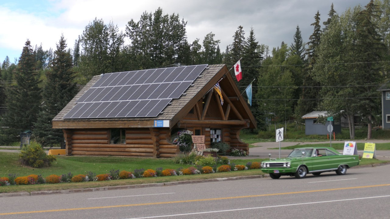
As always our first stop is in the tourist
info to get some more reading and planning material – ask some questions. And
today we also made sure we have cell phone reception here in town – as we need
it tomorrow and then we are on the way to find our tonight’s camping spot
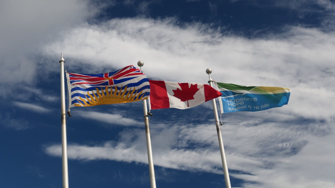
The Playground of the Peace: Hudson’s
Hope
- Along the peace river – they say it is one of the most beautiful trips from Fort St. John
- They say come for a day and stay and play
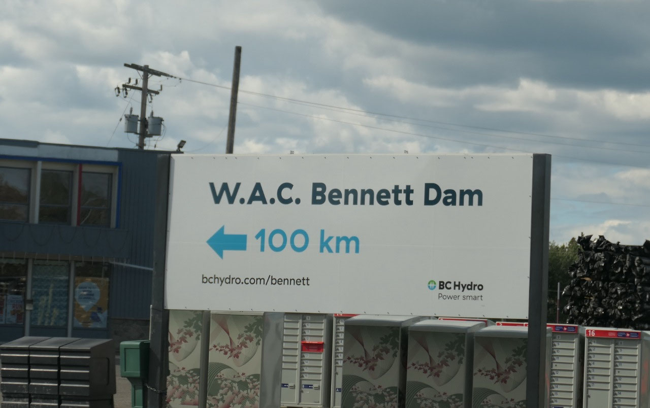
- The town is famous for its two Dams the WAC Bennett and the Peace Canyon
- it was first visited by Alexander Mackenzie in 1805 and a fur-trading post was established by Simon Fraser in 1821
- today it is famous: because here is the WAC Bennett Dam – BC’s largest Dam
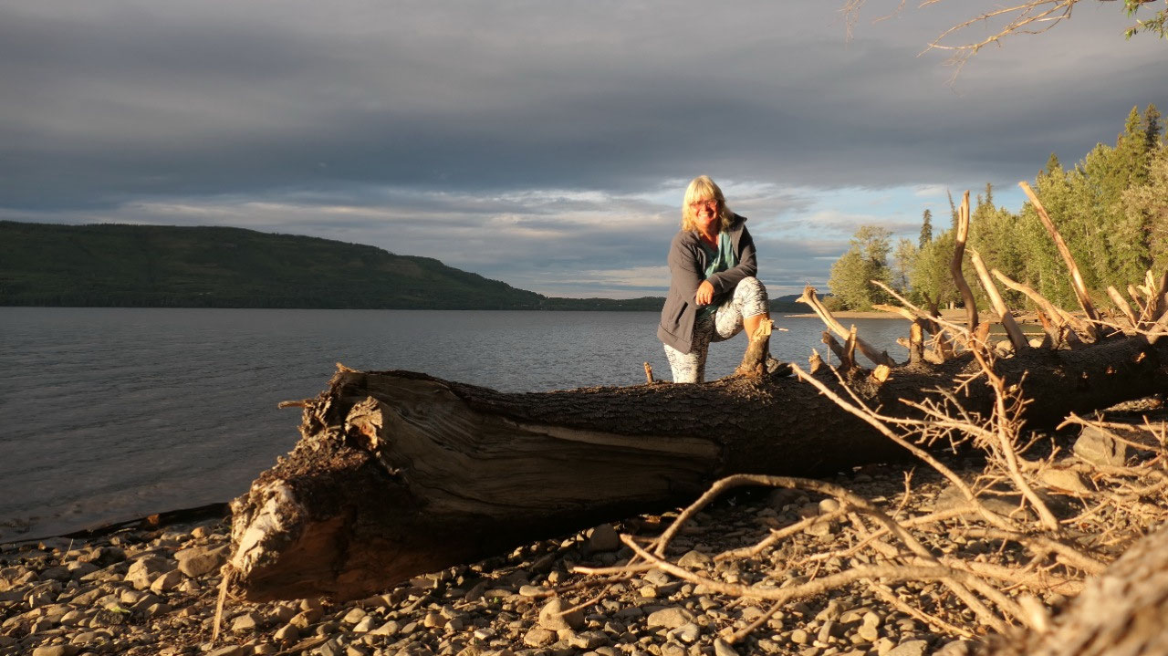
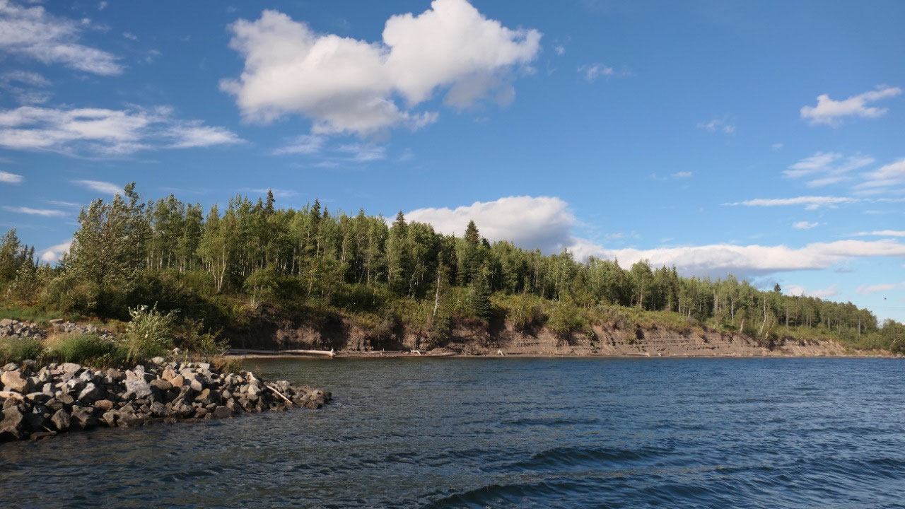
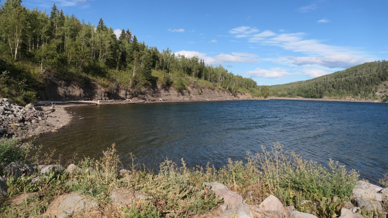
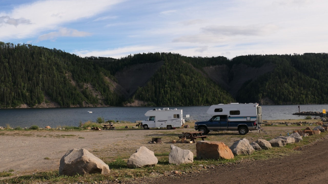
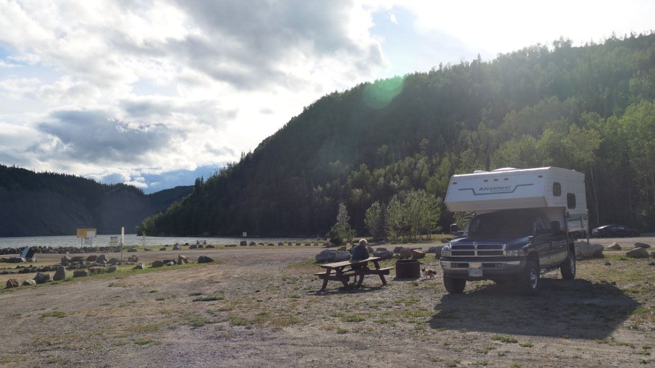
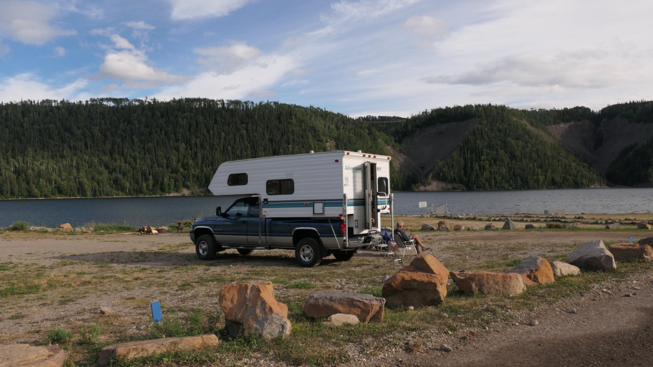
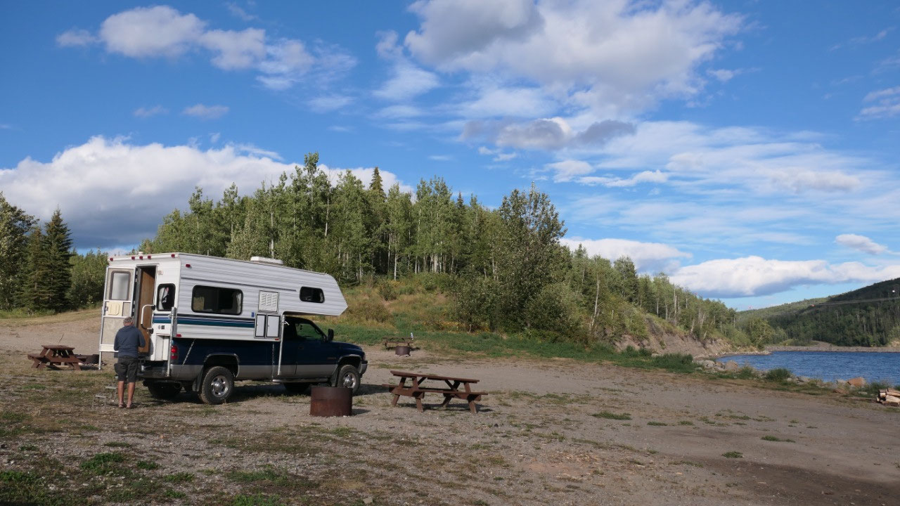
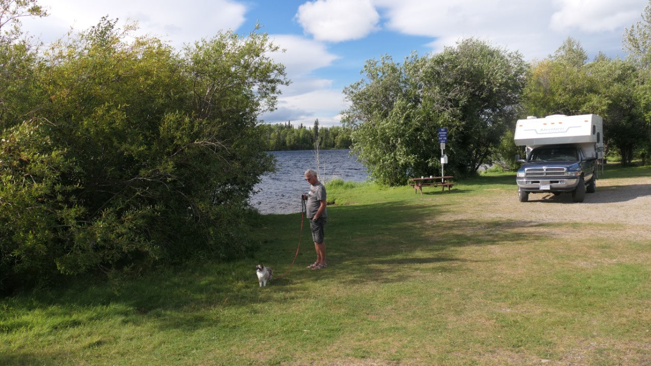
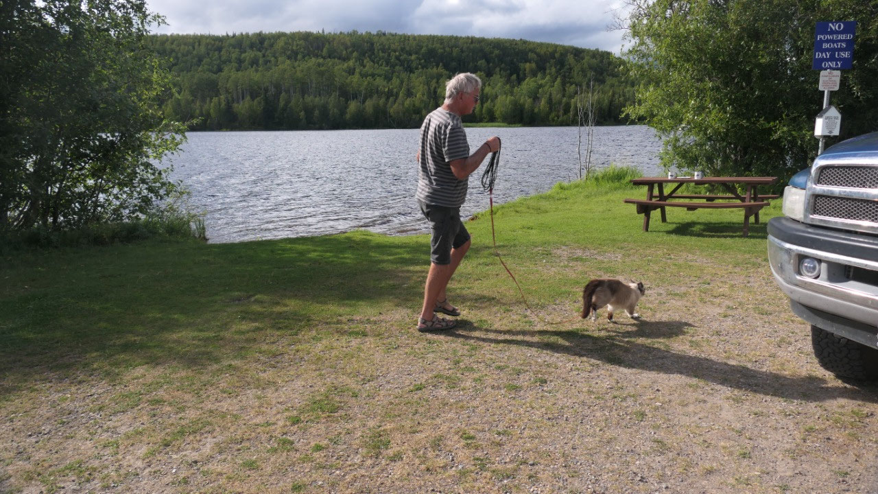
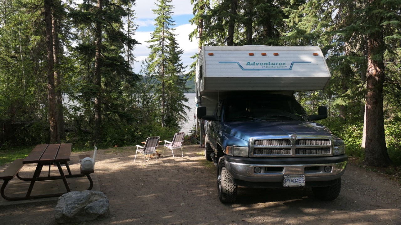
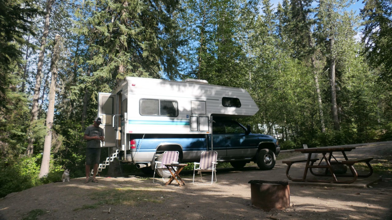
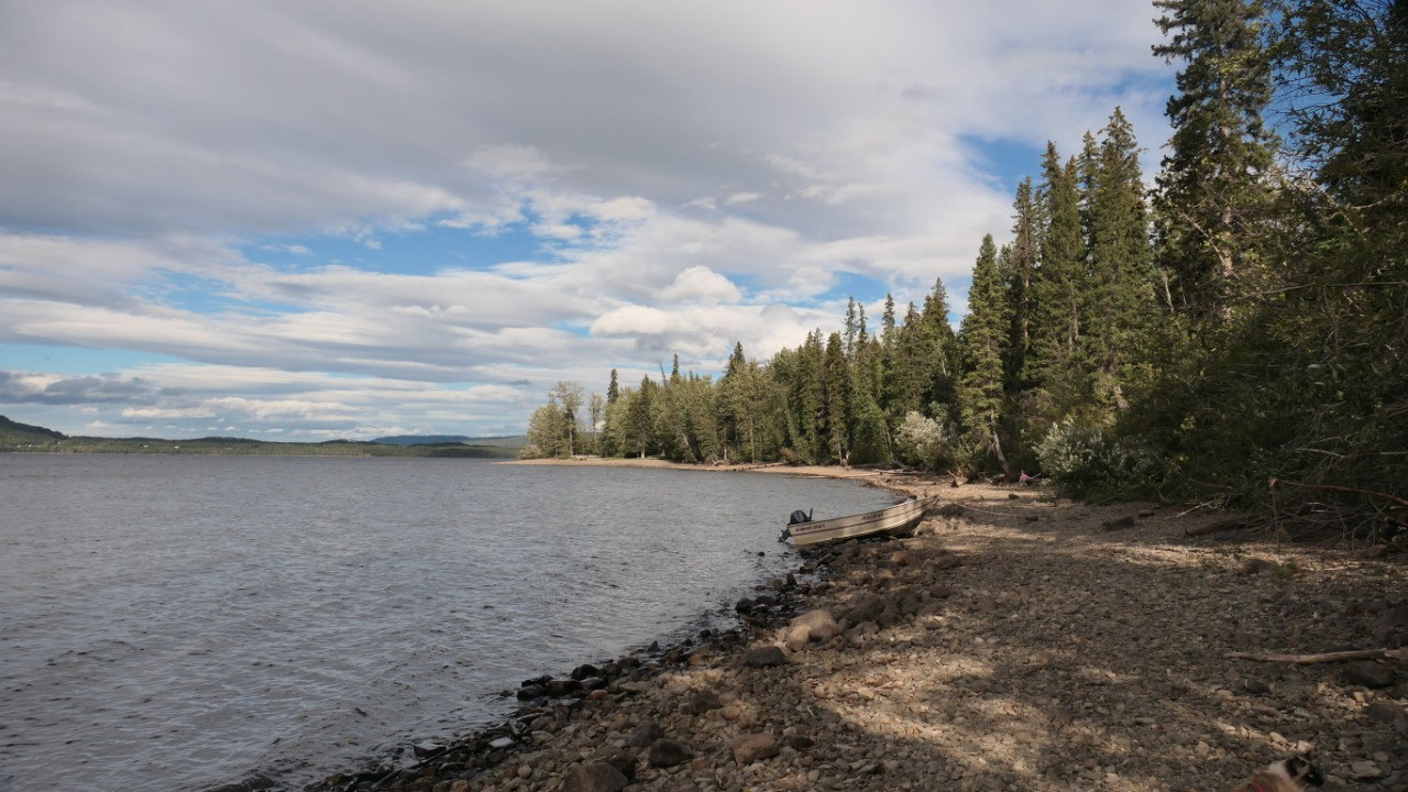
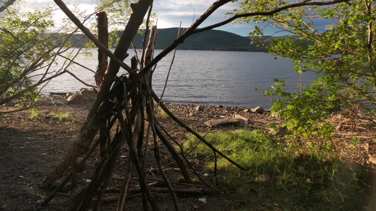
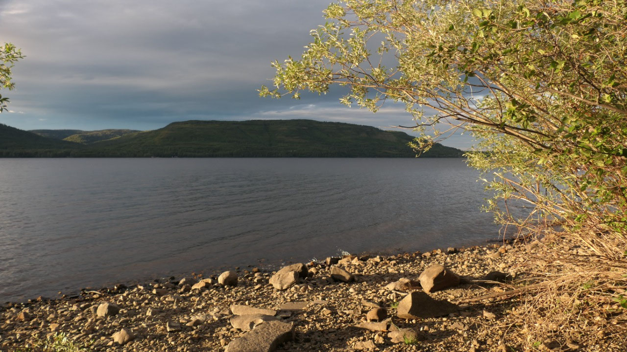
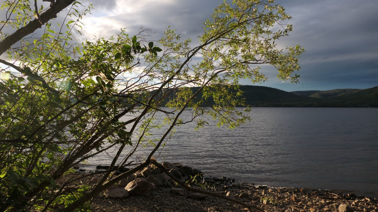
Camping at the Dinosaur Lake
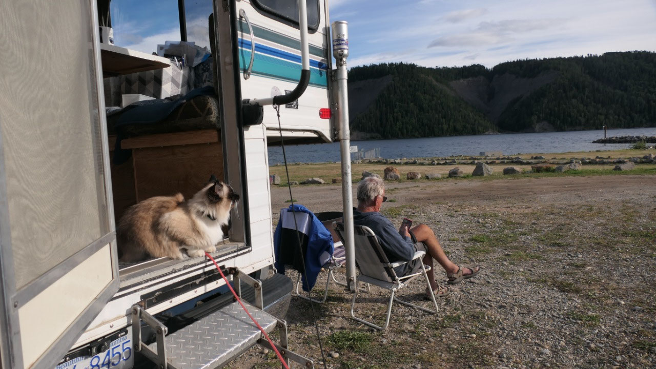
Gine said we are camping at the
Dinosaur Lake which is 10 Min out of town – and it is the lake behind the Peace
Canyon Dam. Ok the plan was great but it was too windy to really feel warm. We
had a great spot with lake view, checking out a bit the shore line and relax
- Gine wondered where the name comes from and then discovered when they created the Peace Canyon Dam they named for the fossils of dinosaur footprints that were covered when the area was flooded
In the morning same as the previous
days: sun and clouds – we are up early today as we want to be on the first tour
at the Dam. We decided to leave after coffee and have breakfast at the dam
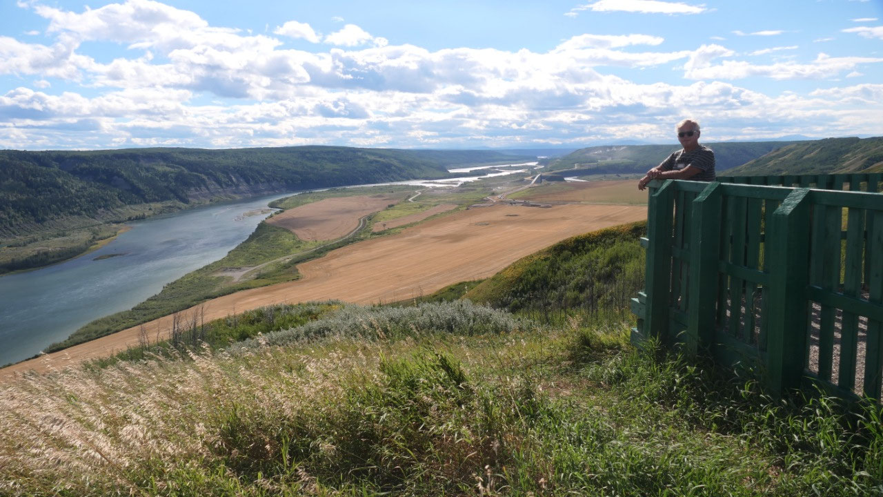
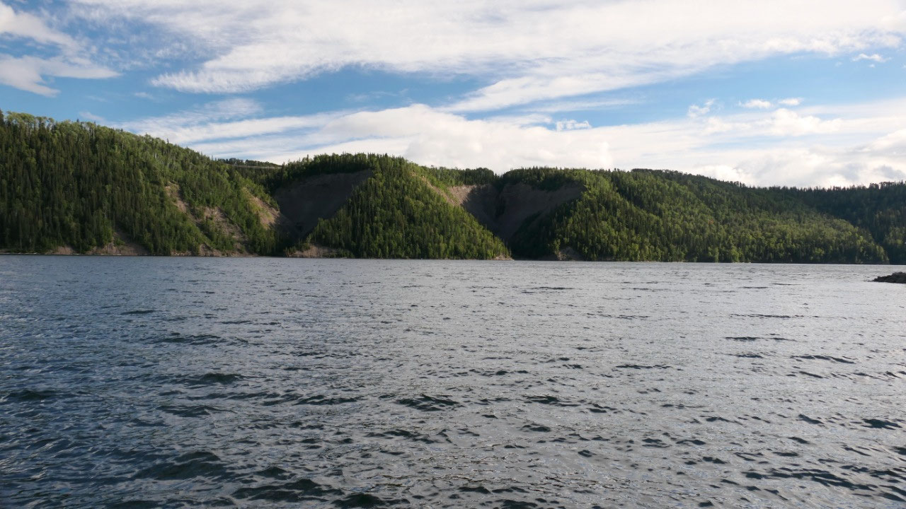
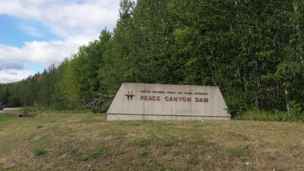
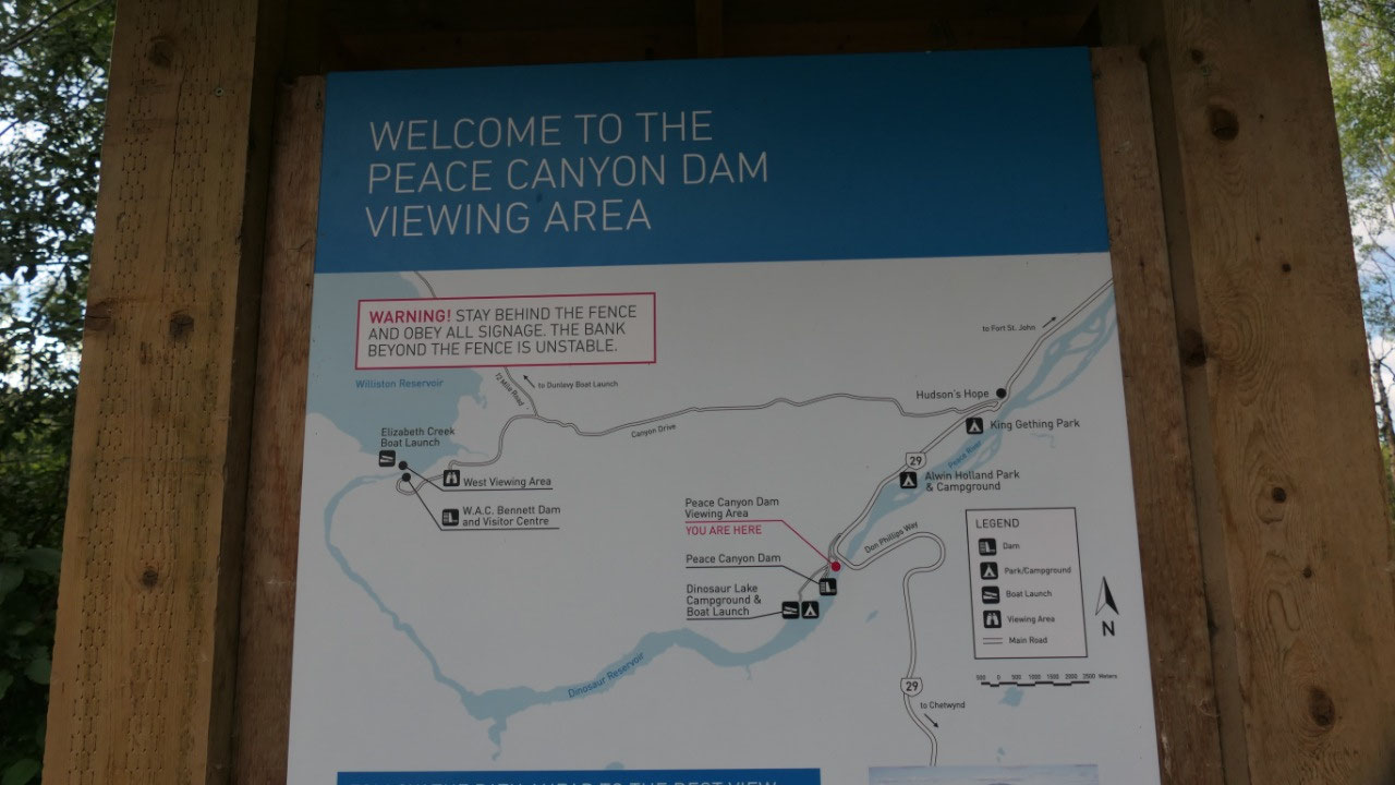
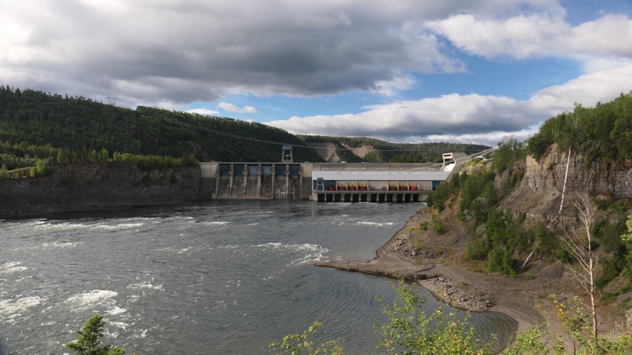
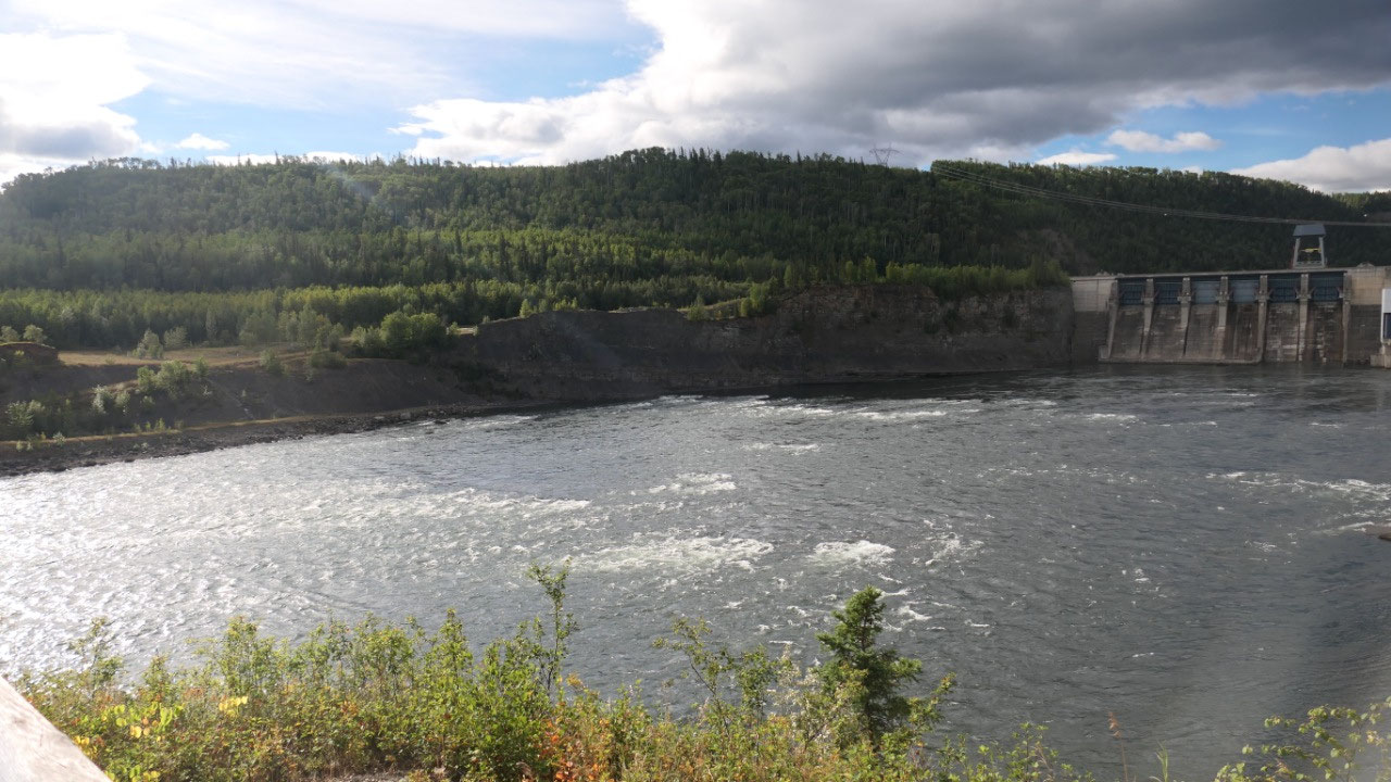
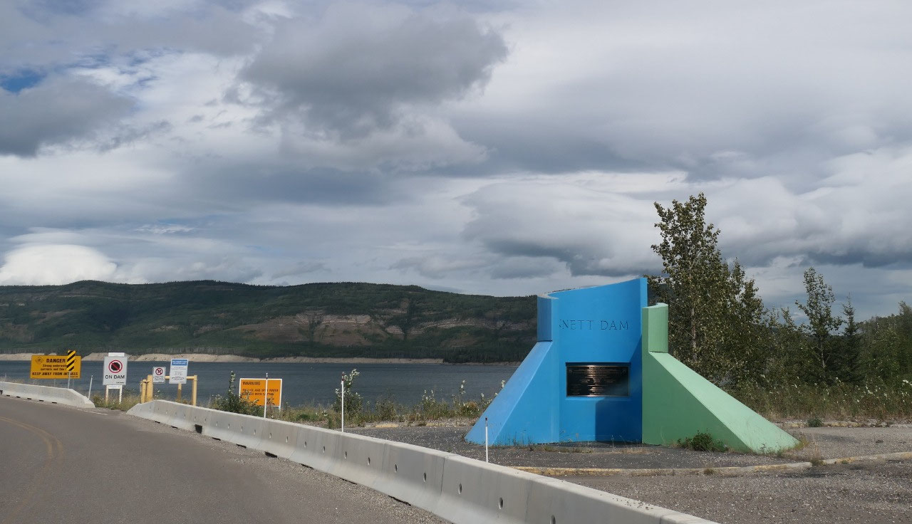
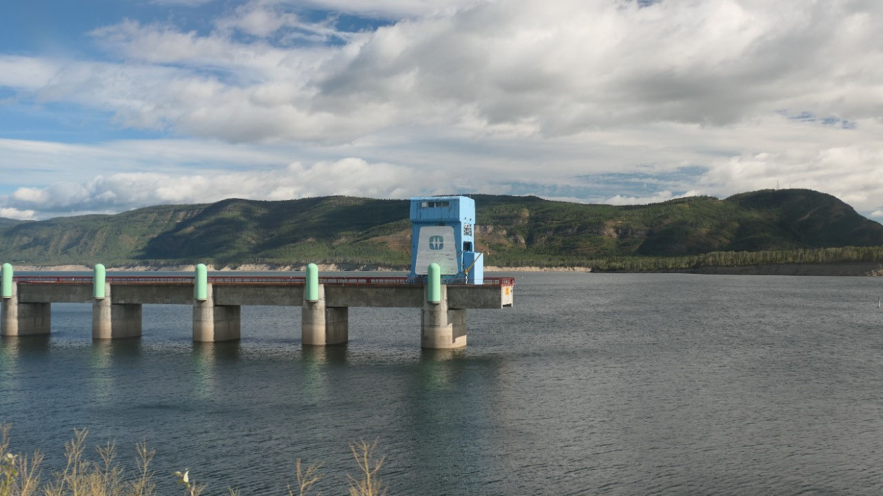
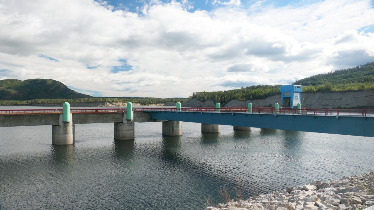
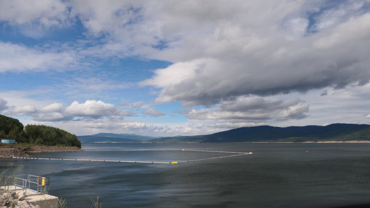
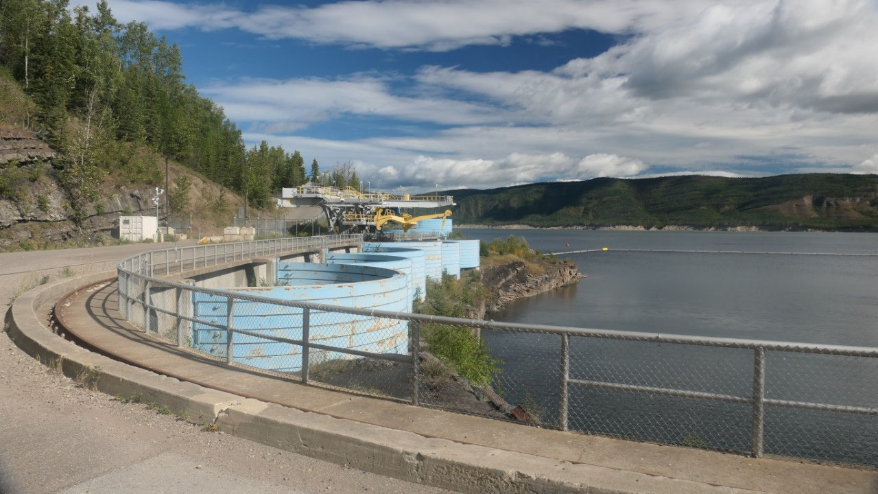
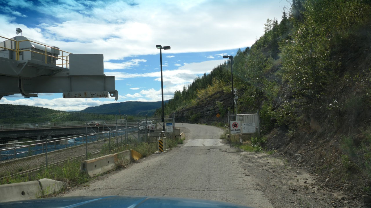
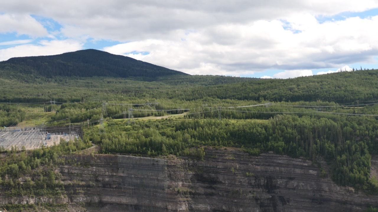
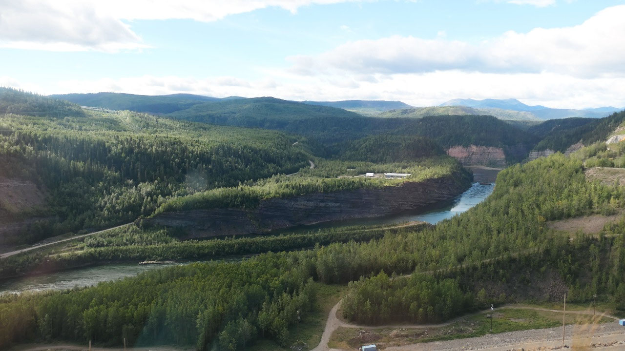
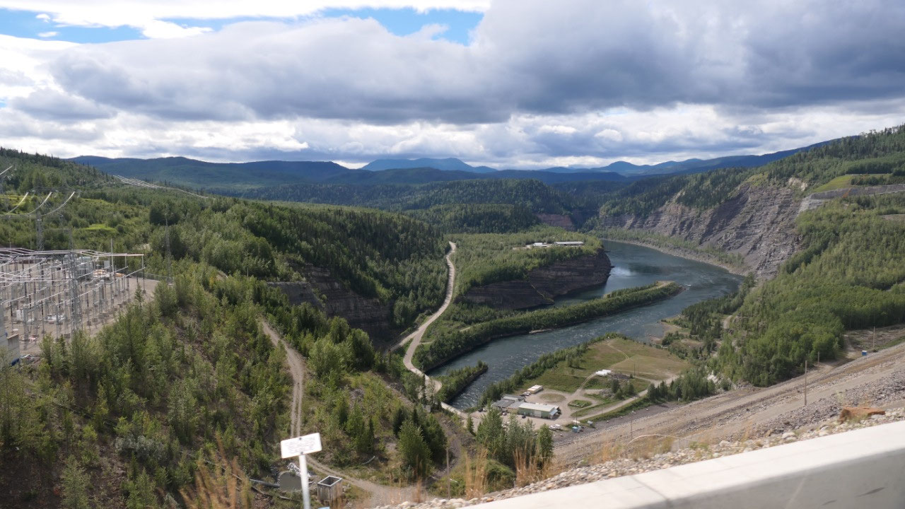
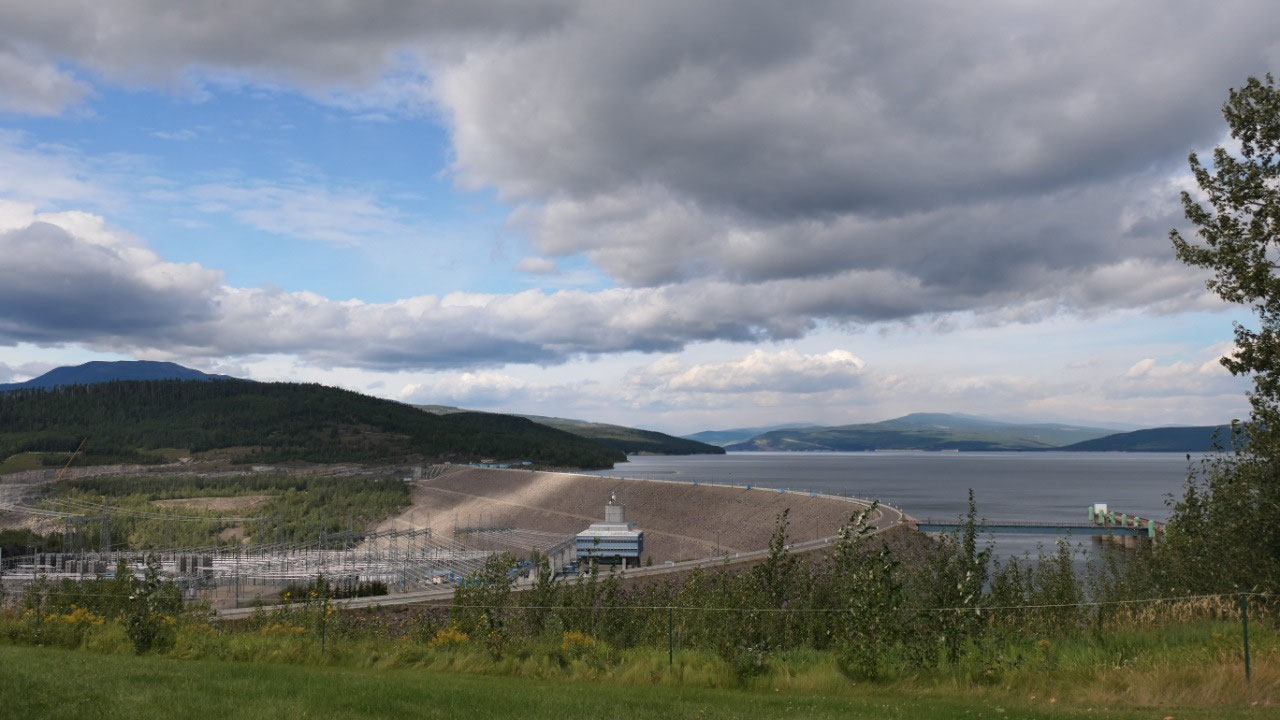
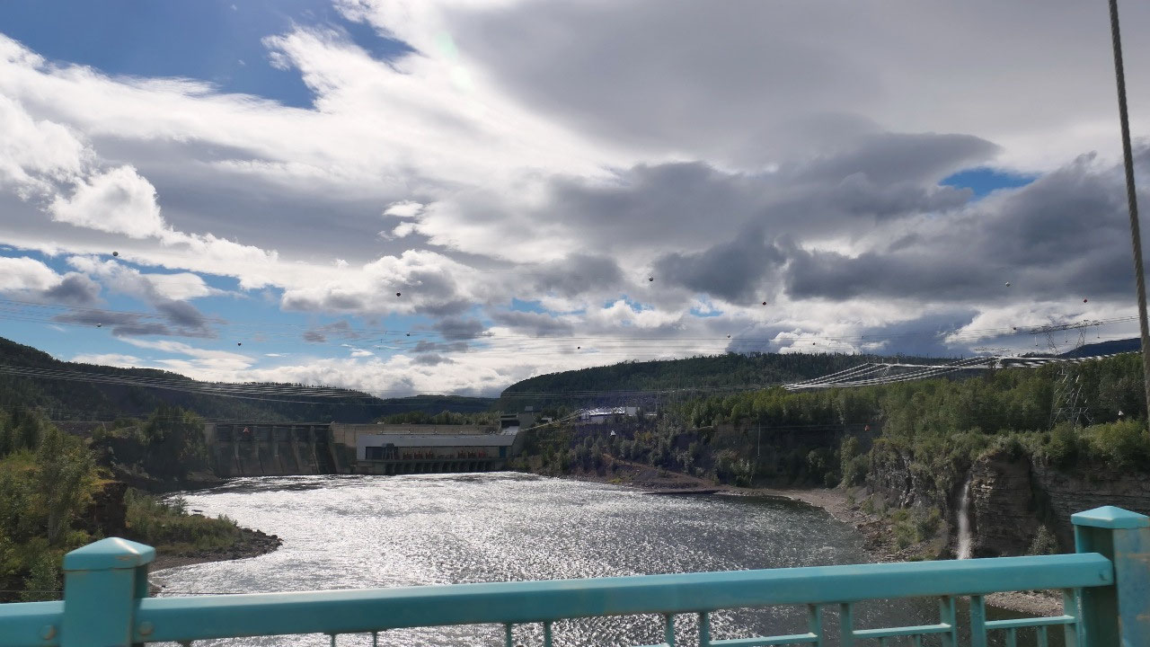
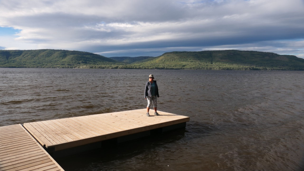
Peace Canyon Dam viewpoint
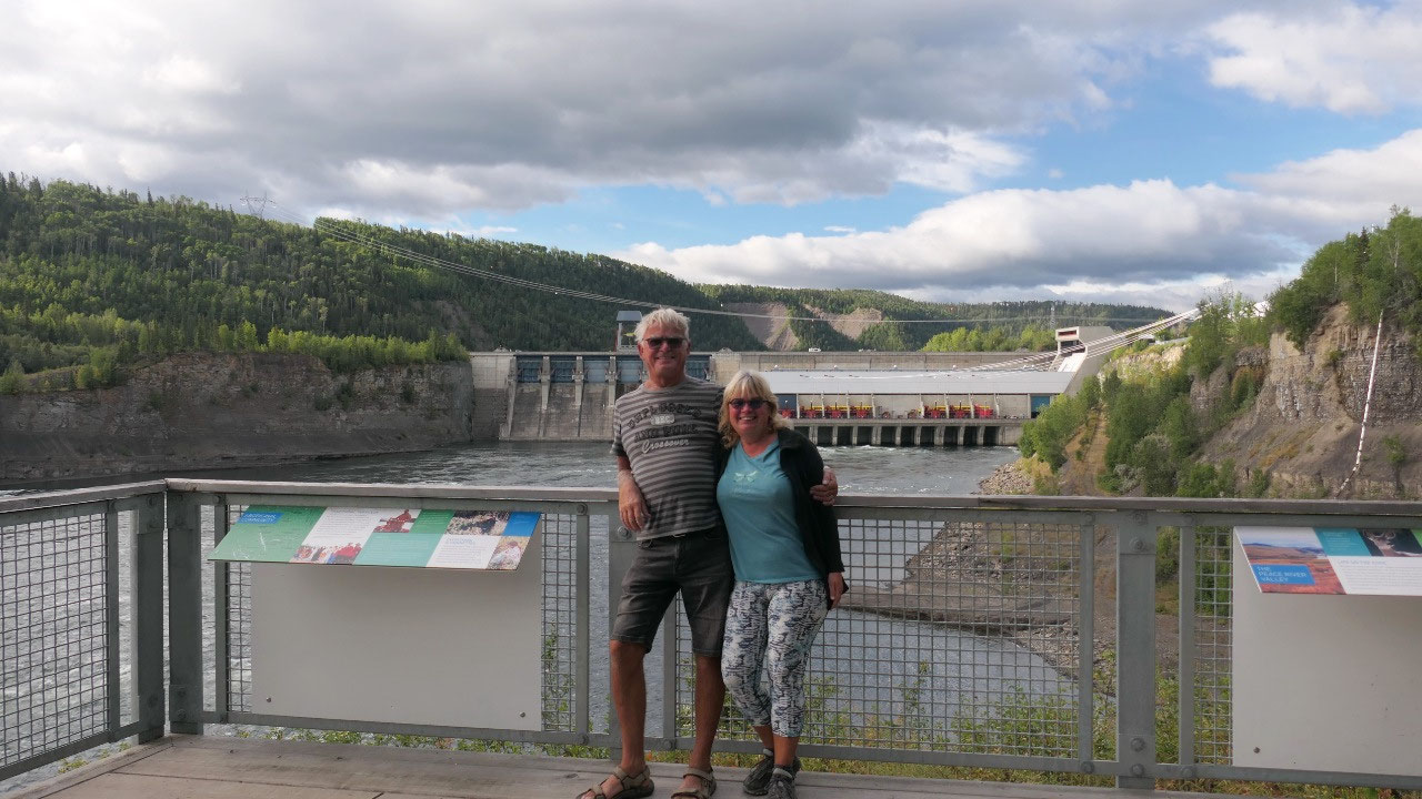
Our first stop was at the viewpoint to
the Peace Canyon Dam, it is interesting to see the Dam across the valley with
the rocky walls on the sides and then read a bit about the Dams:
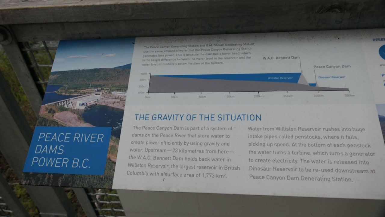
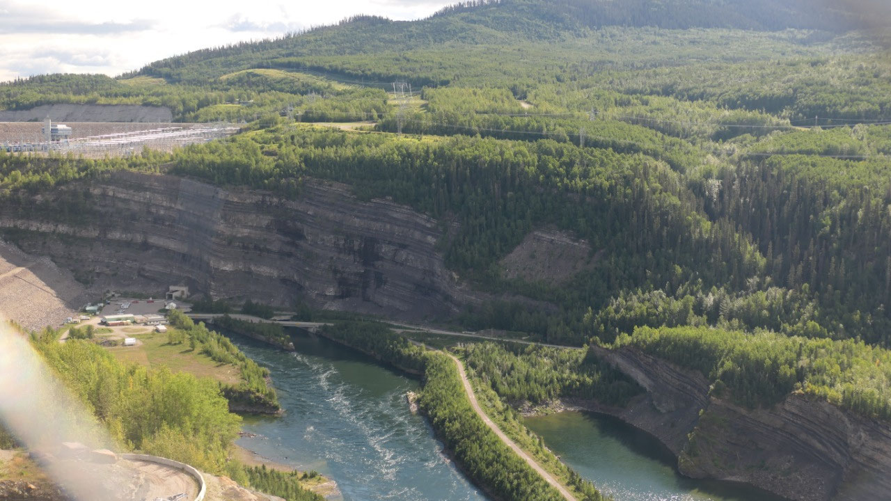
- The Peace Canyon Dam was built in 1980 and is 23km after the WAC Bennett Dam: this Dam creates the Dinosaur lake or reservoir with is actually tiny only 8.9 km2
- A reservoir is man-made and hold water in reserve for hydroelectric power compared to a natural lake
- This Dam re-uses the water from the WAC Bennett Dam: where the Bennett Dam generates 2730 megawatts the Peace Canyon only creates 694 megawatts in 4 turbines (compared to the 10 at the Bennett Dam)
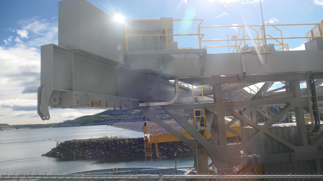
- The turbines here are super large and came from Russia!! and required to be brought in with some special made vehicles and in Vanderhof they had to remove all the streets signs, they had to widen some roads and built bridges – a model of that vehicle in small is on display here: the truck had 170 wheels and 23 axels and two engines one in the front and one in the back
- It was also interesting to see here a picture on the length of the lakes and depth of them when they had a display of the two Dams
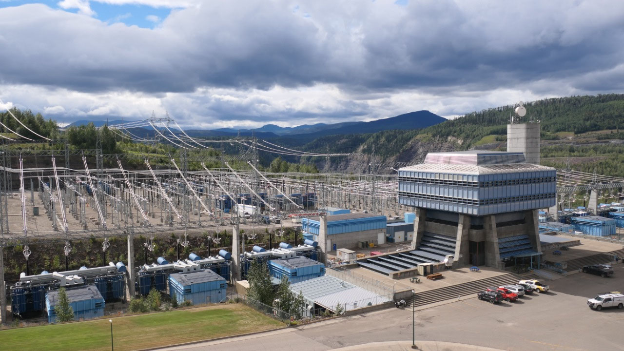
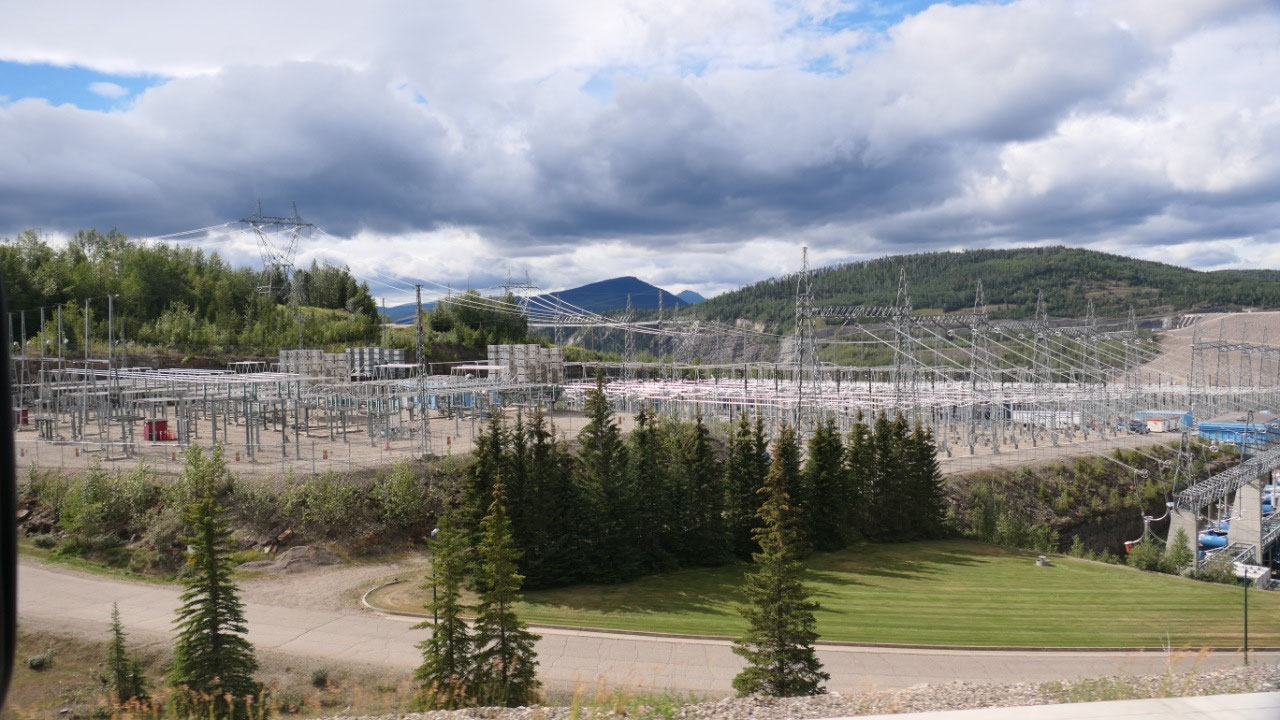
Breakfast as the WAC Bennett Dam
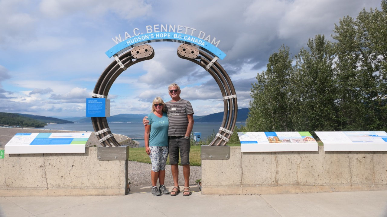
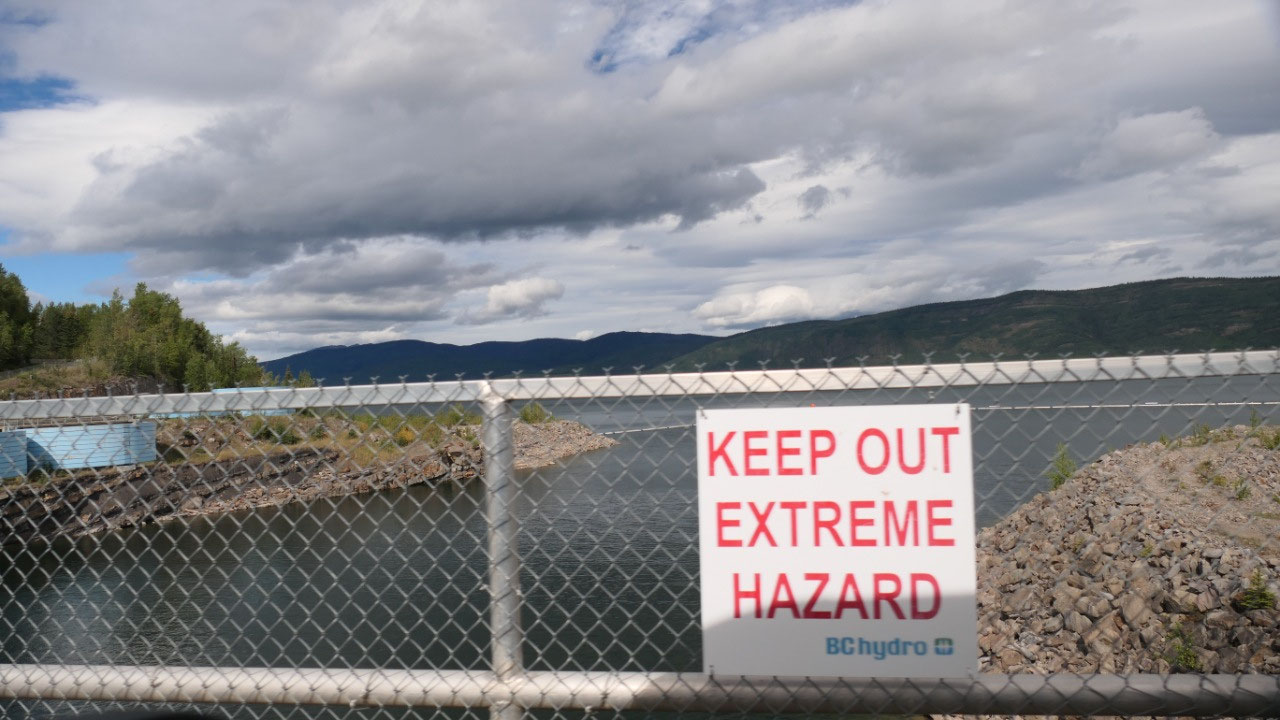
We arrived with sunshine at the Dam’s
parking lot – and already discovered it is gorgeous here - and even better we have cellphone reception
(that means we are stress free). First things first and that means breakfast…
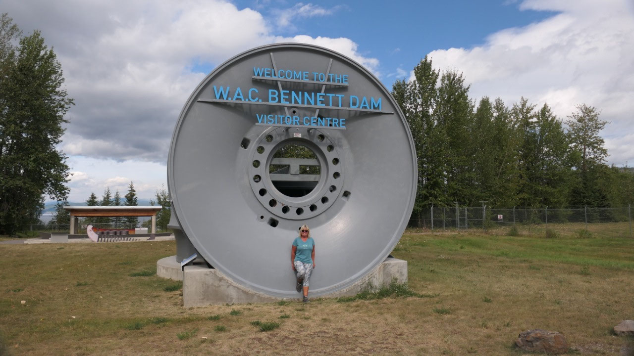
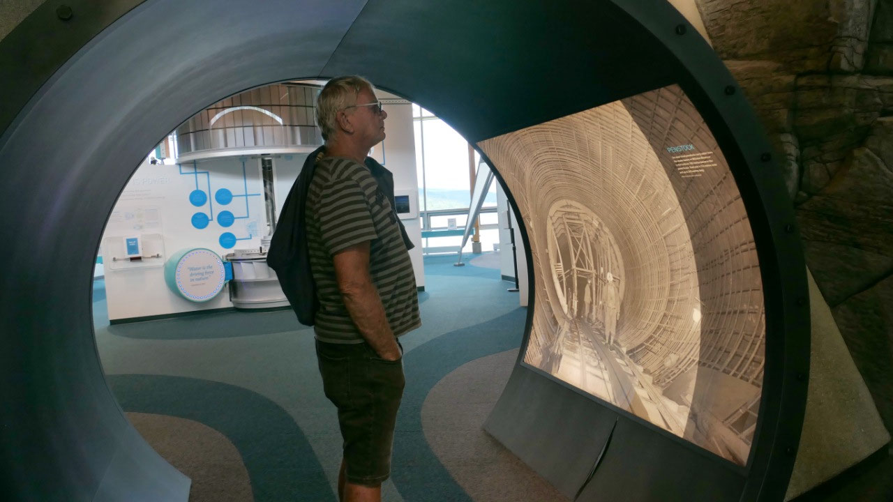
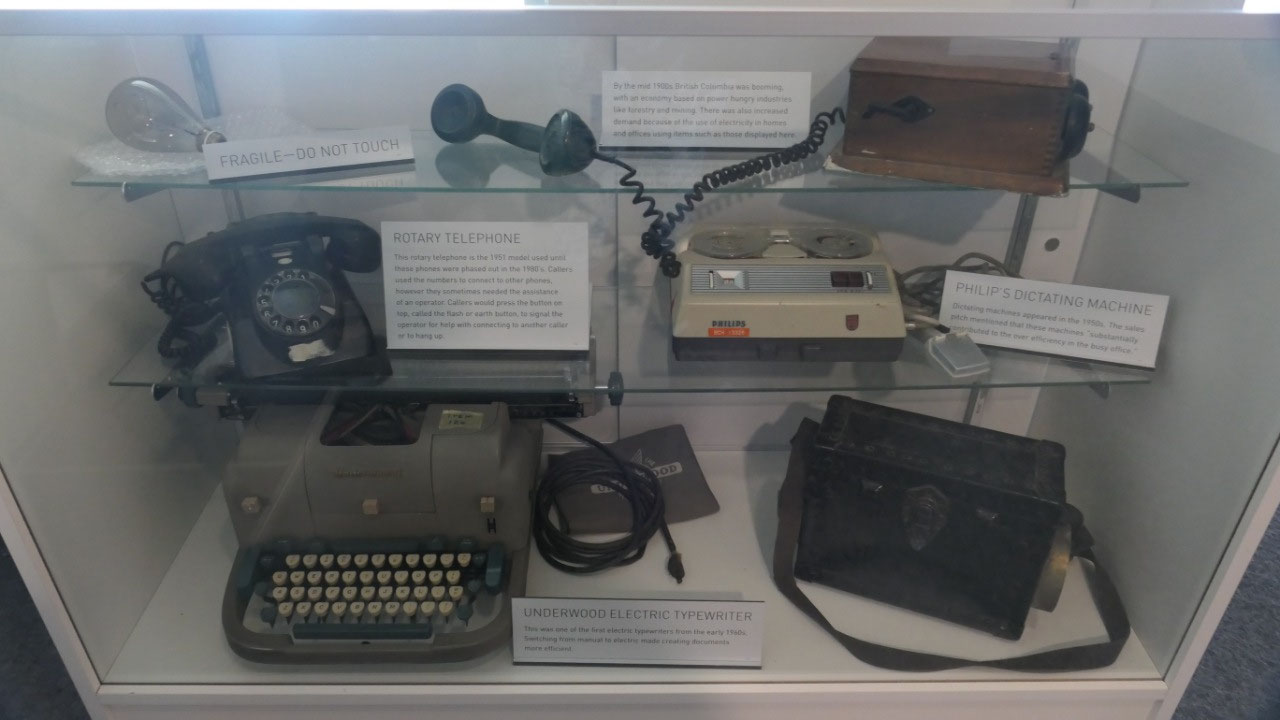
afterwards we went inside the Visitor center and got put into the tour, but it
still left a bit time to go through some of the displays they have here and to
learn about the Dam and the First Nations who lived here,
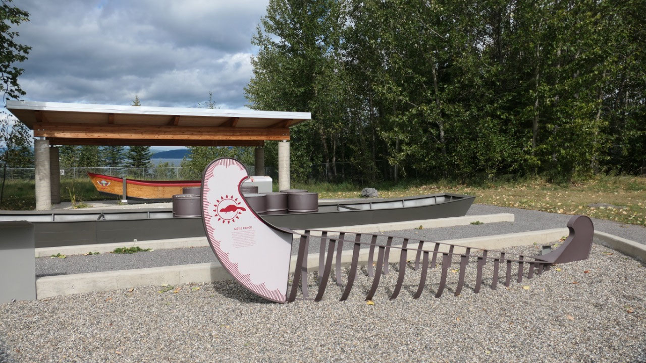
- The First Nations display was up with “They call it process we call it destruction” = which brought up the question in me again, if the white people never came would they not have adapted or still lived like they did – I mean all over the world we don’t live like our grandparents live and we keep those as memories in pictures and museums, but we accepted that live is going forward and tradition also change and adapt. I think it is easy to read here, that the first nations were not asked and not involved when building this Dam. With the creation of the Dam three first nations villages were flooded.
- Alexander Mackenzie was the first European seeing the Peace river and wrote in his journal about the potential of using the water for power and he talked about the white foaming river, it would have been amazing to see.
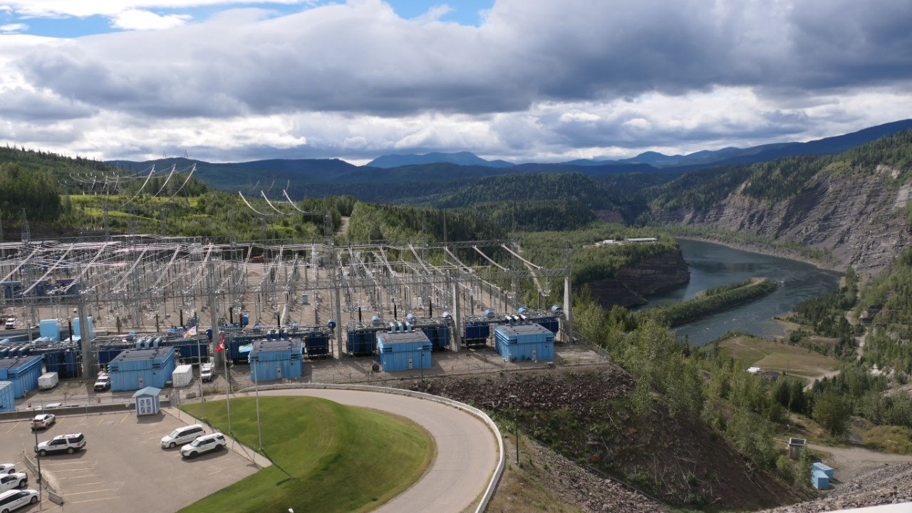
- It was interesting to see a map of BC and all the BC Hydro Dams we have – because we were starting to think is our Dam at the lake only for water of also for power – now we know.
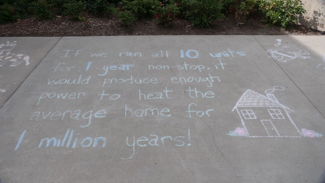
- We learned that BC generates 90% of all the electricity with Hydro power and most of the large BC Hydro plants were built from 1960-80 and the WAC Bennet Dam creates 1/3 of BC’s power
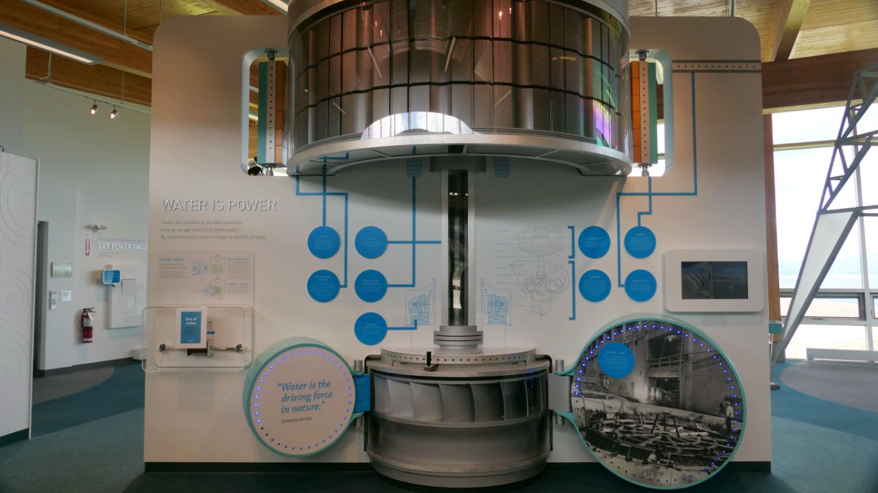
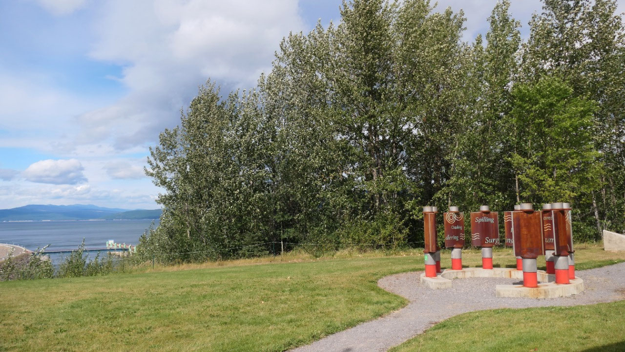
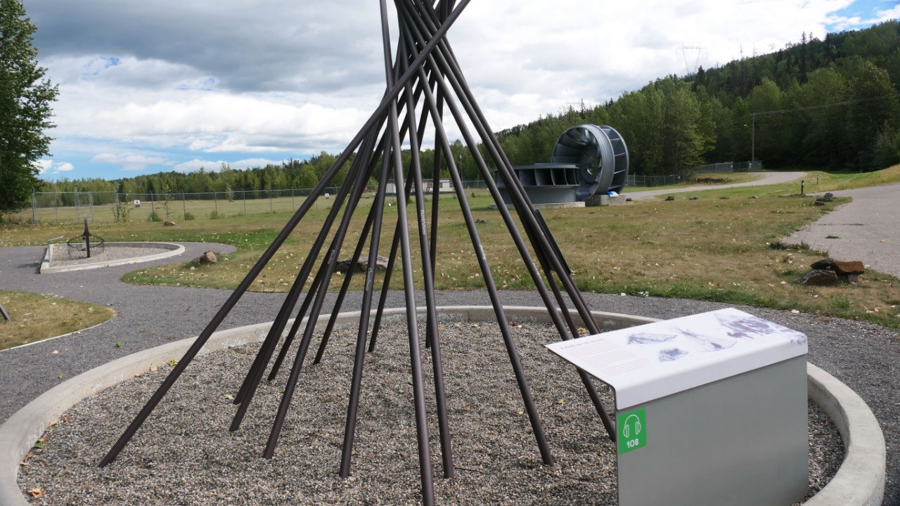
- We learned on how the Dam works: from the falling water – the spinning of the turbines: as well is all 10 generator work here they provide 13.000 Gigawatt hours of electricity annually: that’s enough to power all houses in Vancouver: outside they had 2 turbines which got replaced so we could see how big they are
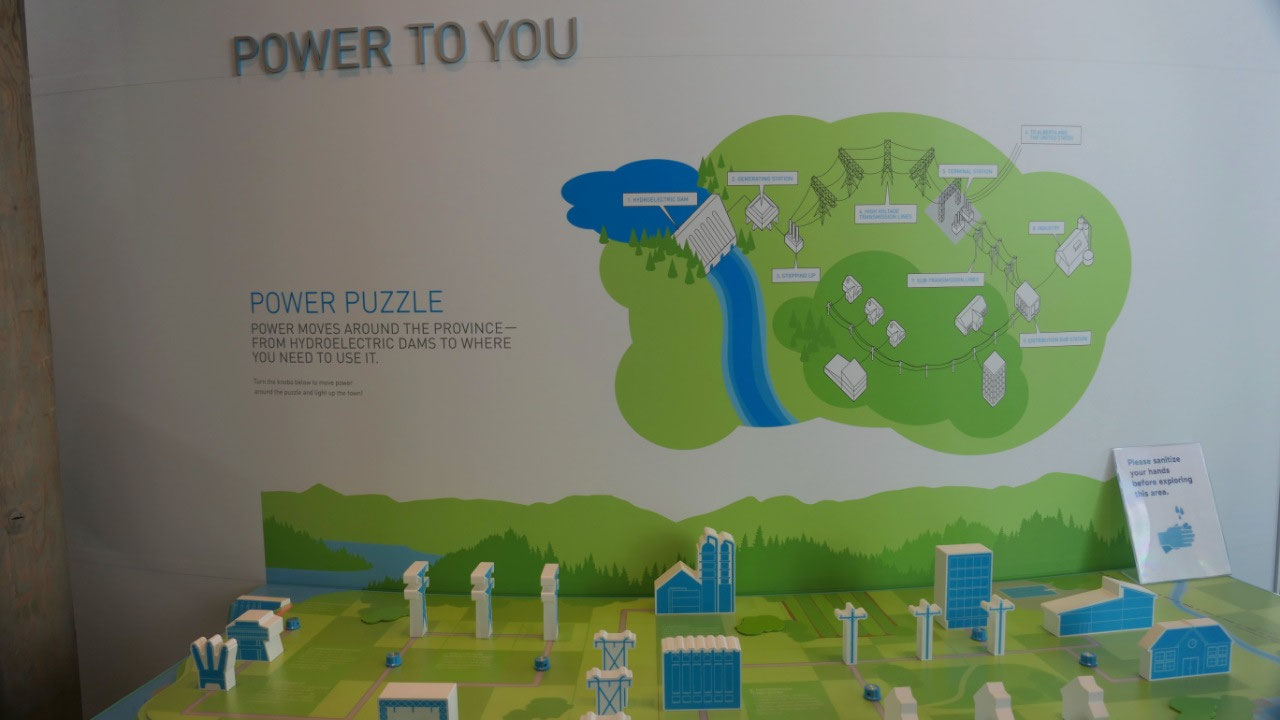
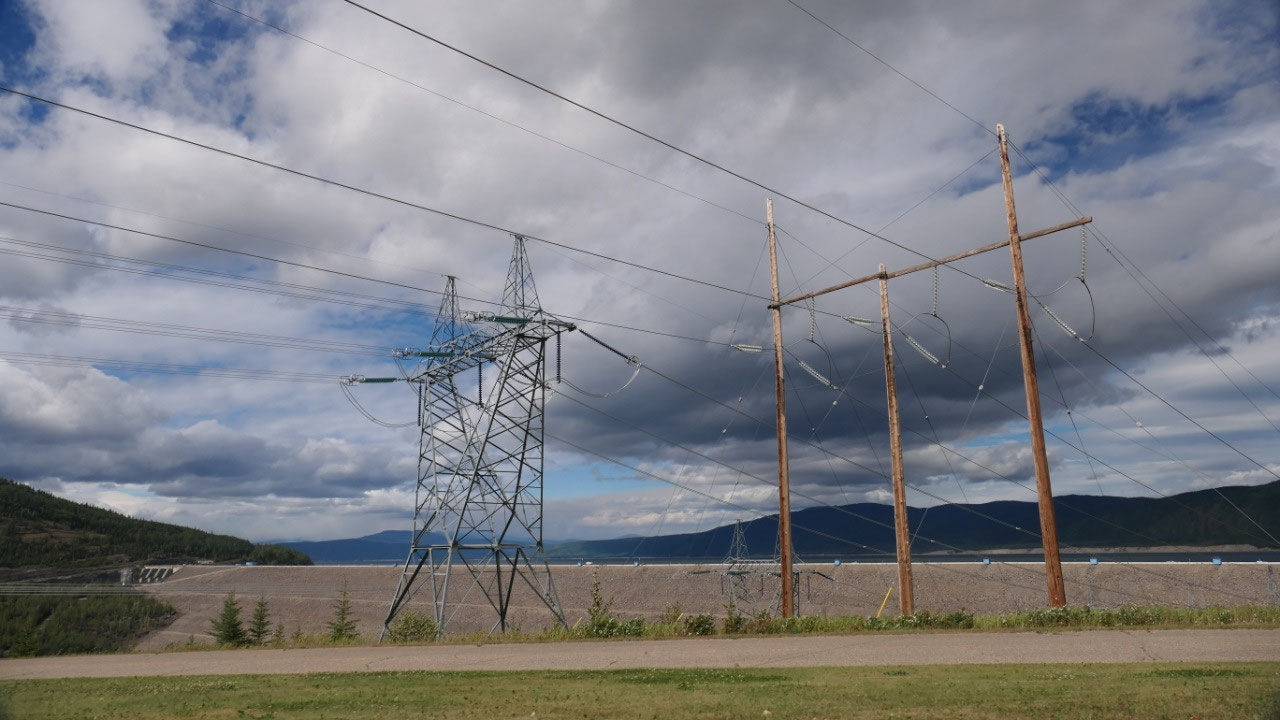
- They had a few powerplay stations: at one we could built our own dams in the water, in the power puzzle we run the electricity through the town where it starts with the Dam, goes into the Generator station, then the stepping up: the voltage of electricity gets increased so it can travel long distances (500kV) going then via high voltage transmission lines to the Terminal station to reduce the voltage and then finally in distribution stations which then brings it to our homes
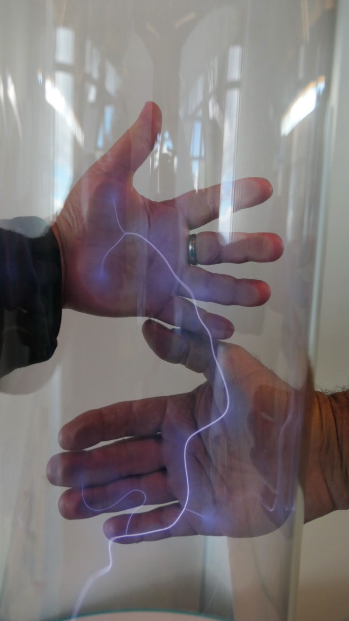
- We learned about conductors and insulators, on what happened when we flip the switch of put a plug in the wall
- When looking along the Peace River Canyon walls you can see the black coal, which got discovered by in 1903 by Neil Gething: a very high quality coal which is in ribbons: this coal burns nearly smokeless, between 1944-1951 a Coal mine operated here to supply coal during the building of the Alaskan Highway. The mine is sealed off and part of the Dam today. But we can still see the veins of coal in the rock
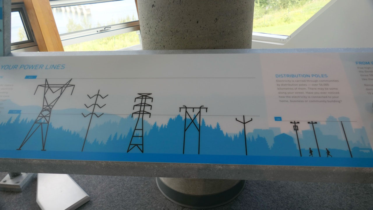
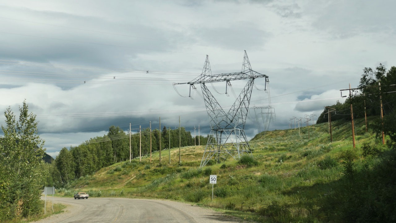
- We saw and learned about the different voltage cables and towers taking the electricity as far as Vancouver and via the ocean even to Vancouver Island, the US and into Alberta
What’s
to know about BC largest Dam???
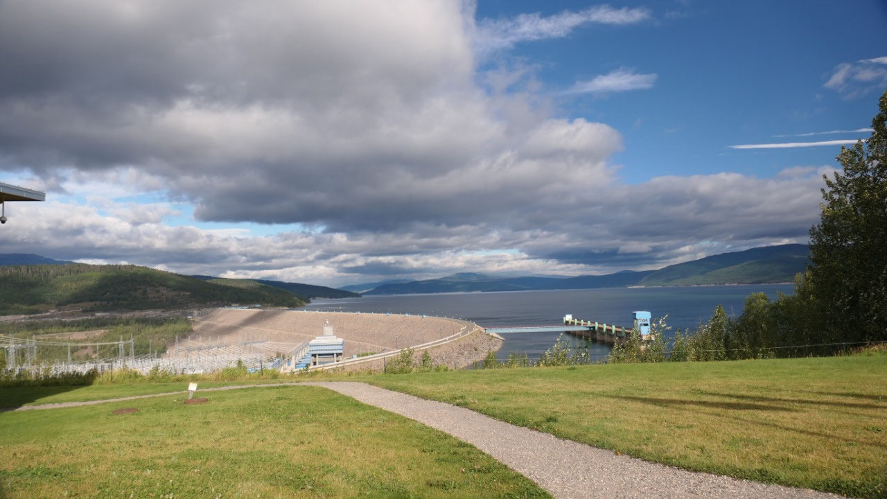
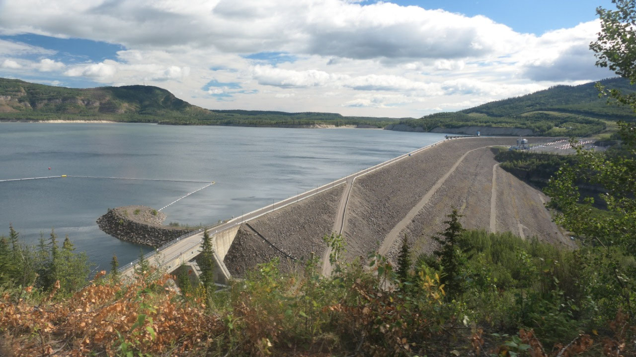
- The WAC Bennett Dam creates the Williston Reservoir – the largest reservoir in BC with 1773 sqkm
- How does that work: the water goes into pipes called penstocks, there it falls down and picks up speed and at the bottom turns a turbine in a snail which turns a generator which then creates electricity
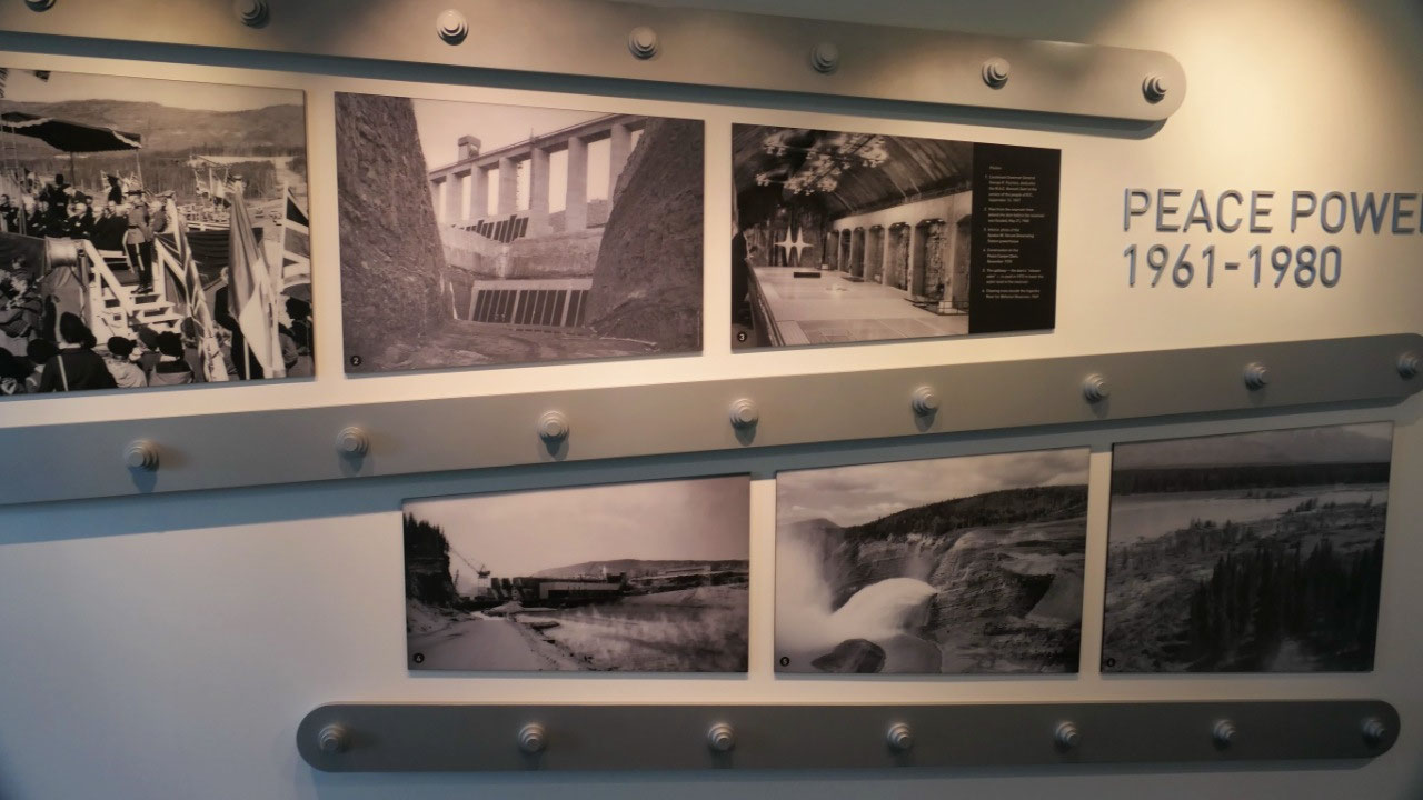
- They built the Dam from 1961-68, It cost 750 Mill $ to built, Once the Dam was completed it took 5 years to fill the lake
- At the bottom the earth dam is 800m wide at the top 9m and 186m high: we learned there is so much gravel in here, that if you would build a 9x9m wall it would go all the way to Halifax from here – it is one of the worlds largest earth dams. To built the Dam they used the gravel of the moraines which were left from the last ice age
- The building was not without controversy especially the environmentally impact to create the lake they flooded 350.000 acres of forest. Also and 40-50 residents got replied and it impacted the first nations.
- Who was behind building this dam:
- 1) W.A.C Bennet who said “somebody said it was a dream. That wasn’t a dream, that was a vision, which every person must have in life” – the named the Dam after him. He was
- 2) Gordon Shrum, he was on the Co-Chair of BC Hydro and was responsible for the Peace River Project, he is remembered for his get it done attitude: the power generation is named after him.
- 3) Ray Williston “harnessing the power potential which nature has readied in our Power Trench is one of the best ways your government can assist its people” – he was the minister of lands, forest and water and played a key role in Bennetts Two-Rivers policy with the Peace and the Columbia Rivers -the Reservoir is named for him
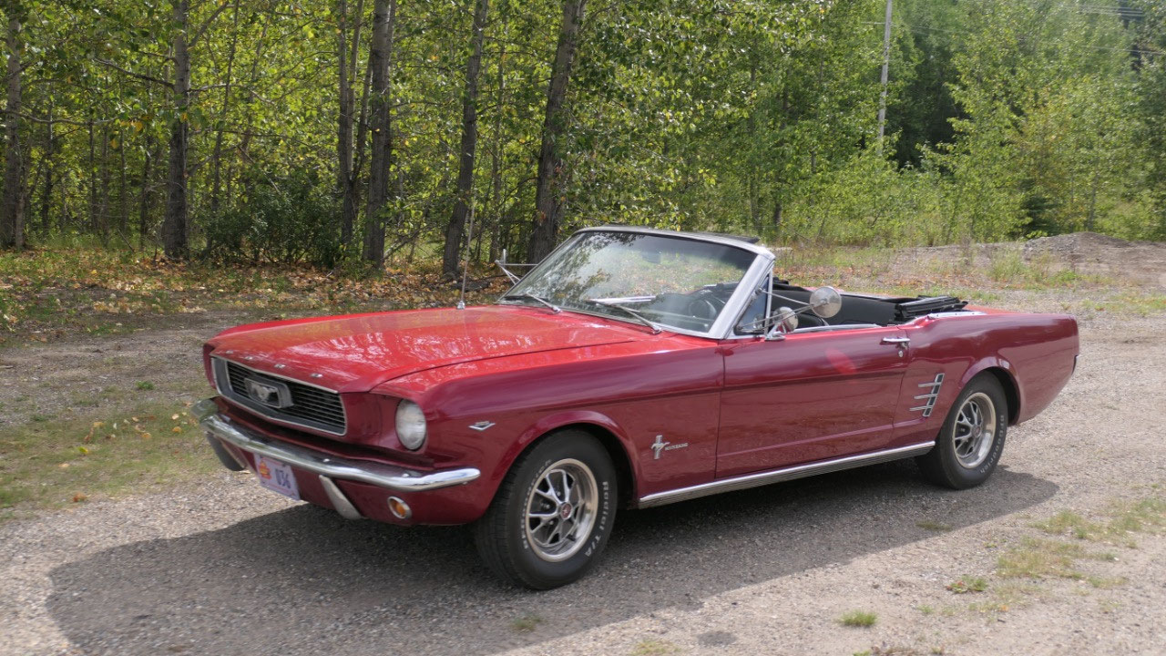
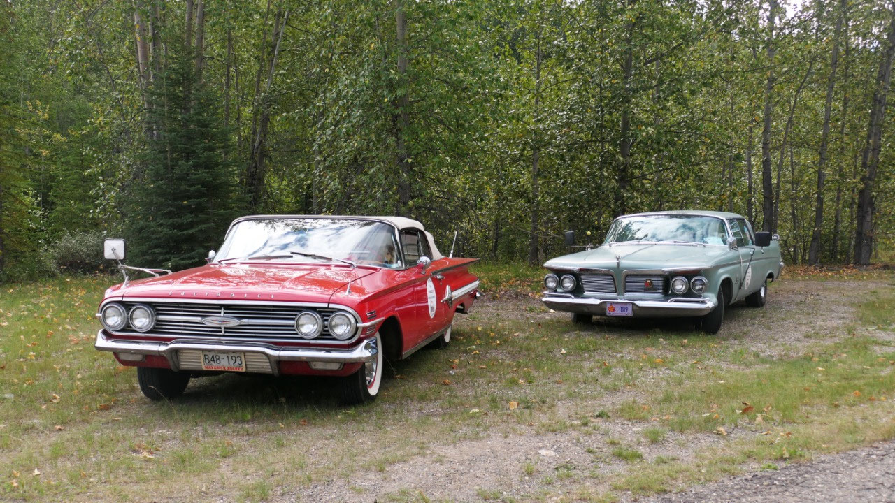
We are busy: tour – phone calls – car
show
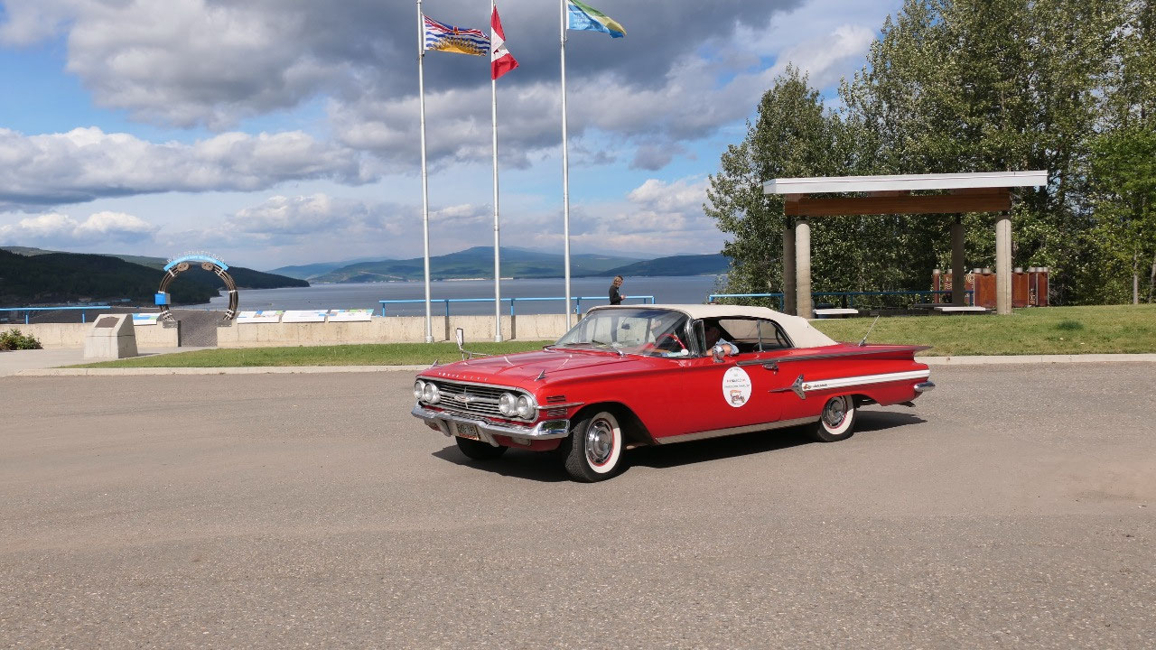
Paul and I are the only ones in the
tour with 2 tourguides, a security woman and a driver: now I do have to say
that actually all we did was watch a movie and drive on a public road to a
public viewpoint and back (which by the way we did afterwards with our truck
ourselves) – that brings up the question what is the purpose of that tour?????
Back Paul had his doctors appointment
phone call and Gine had a Birthday call from Martin (guess who talked
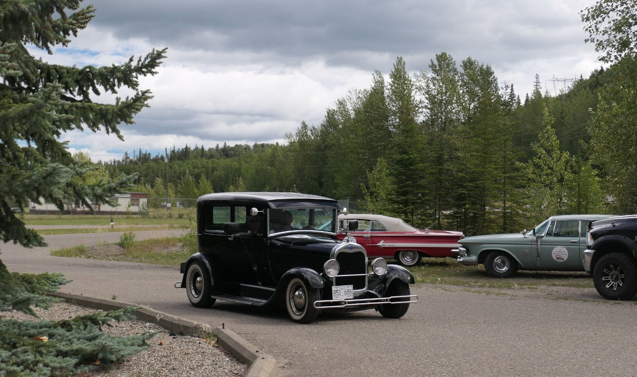
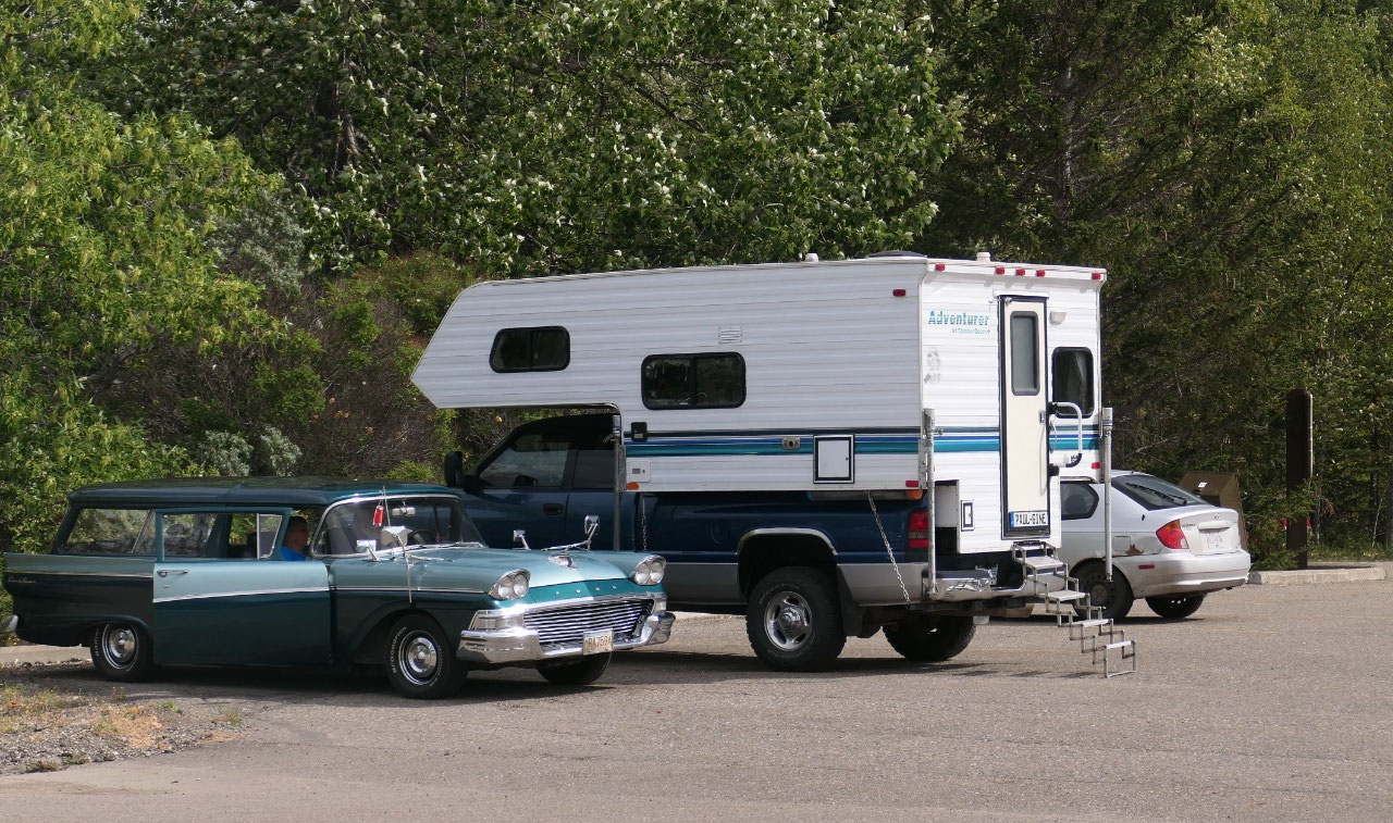
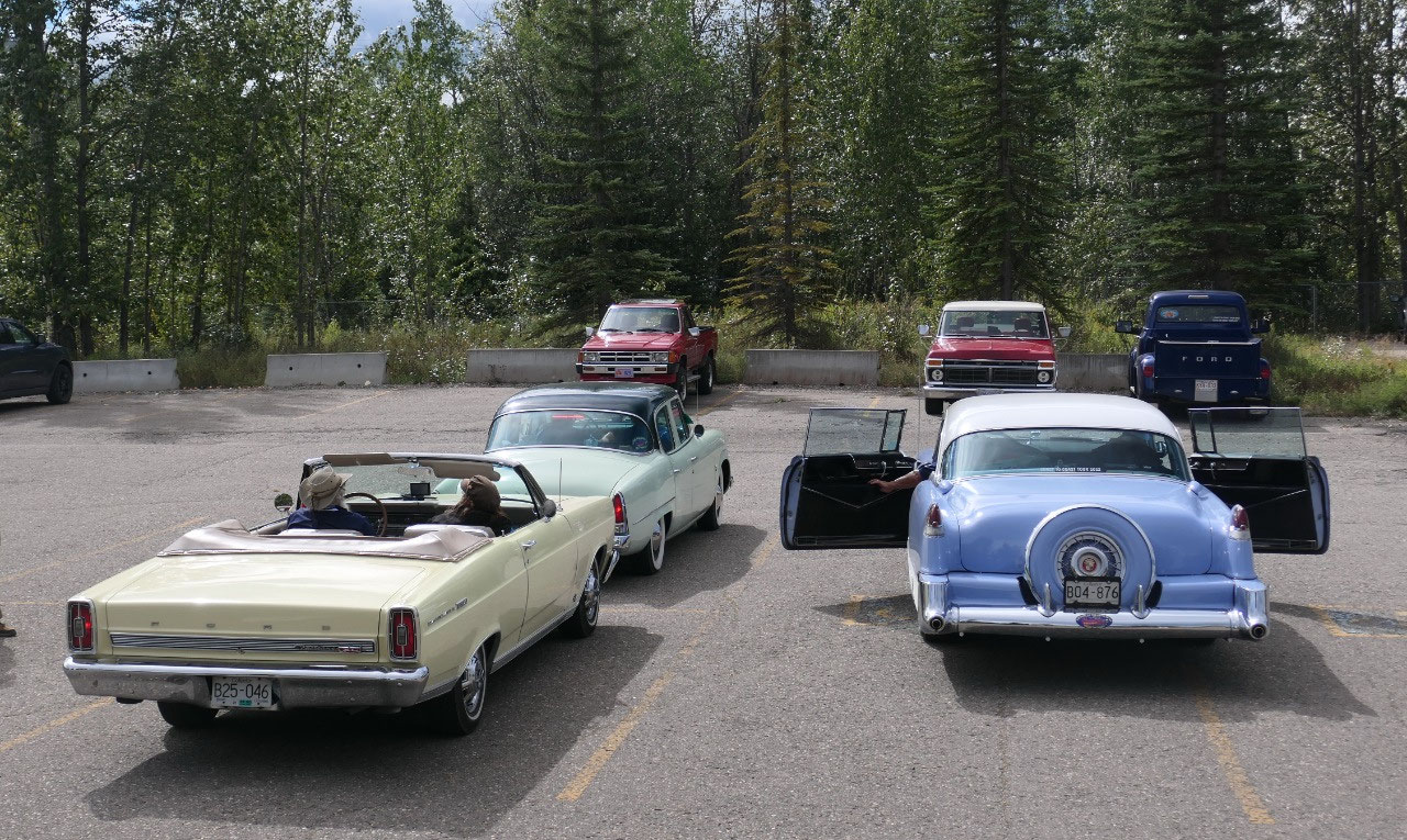
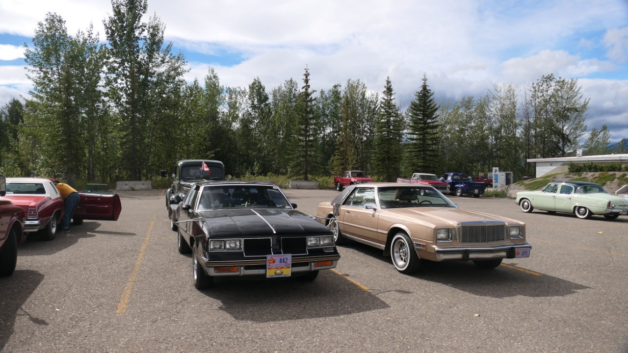
longer???). Also during we were waiting
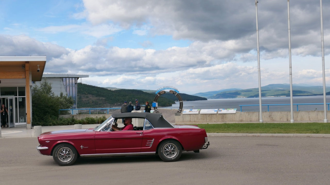
for the phone call we watched a lot of old cars pulling in – it was like a
private little car show – they drove their old cars all the way from St. Johns
Newfoundland to BC Victoria – the couple we talked to they are from Vancouver
and drove before with their car to St. Johns – now isn’t that cool – maybe we
should go on a roadtrip with our old Grandpa dodge….
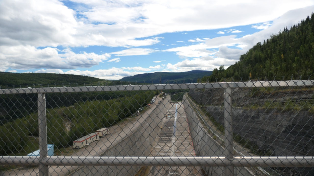
We then drove over the Dam so we could
enjoy a bit more the length – the width – the view from the Dam – and the view
on the huge lake.
At the dino footprints at Hudson Hope
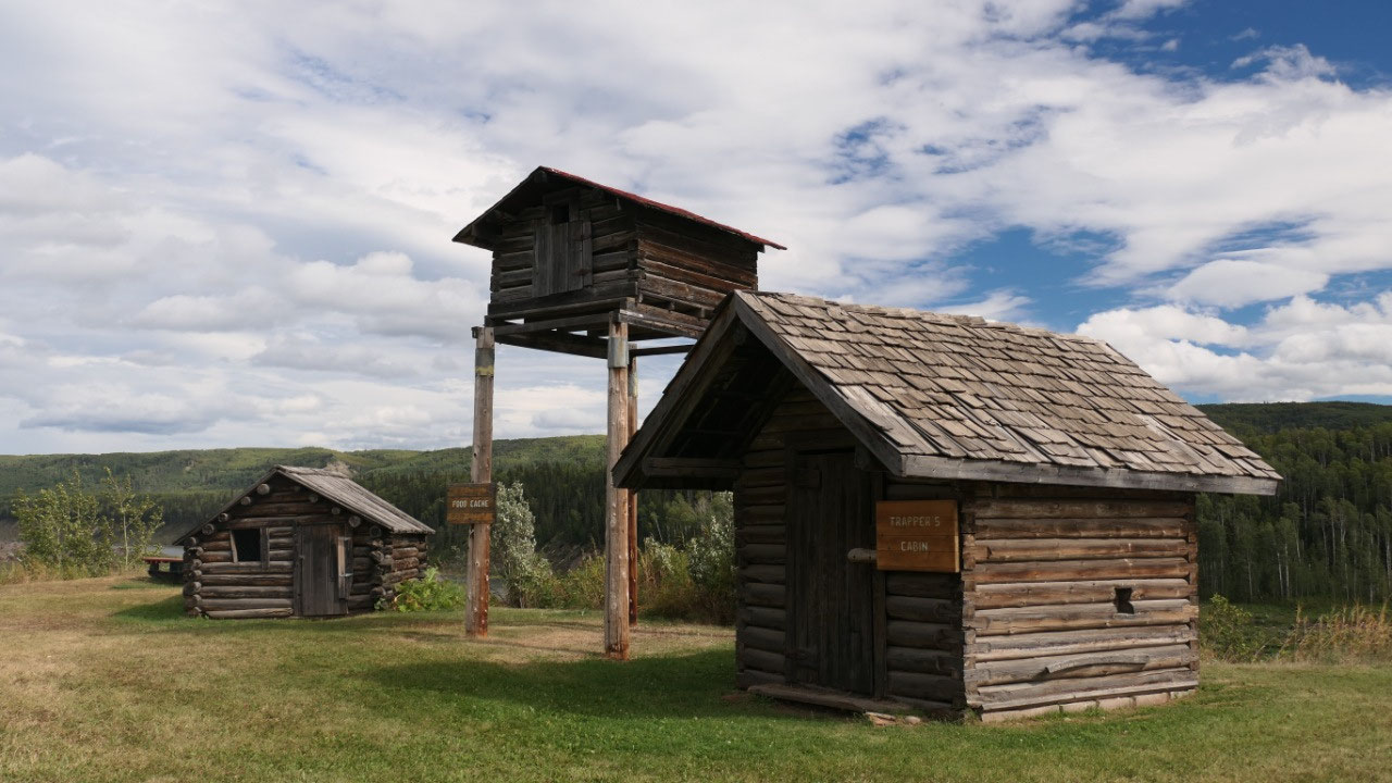
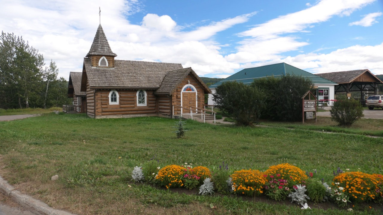
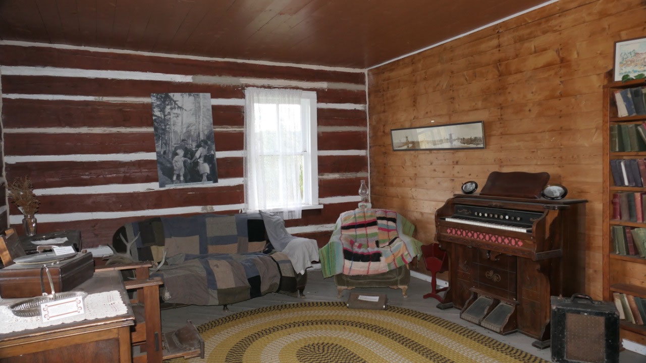
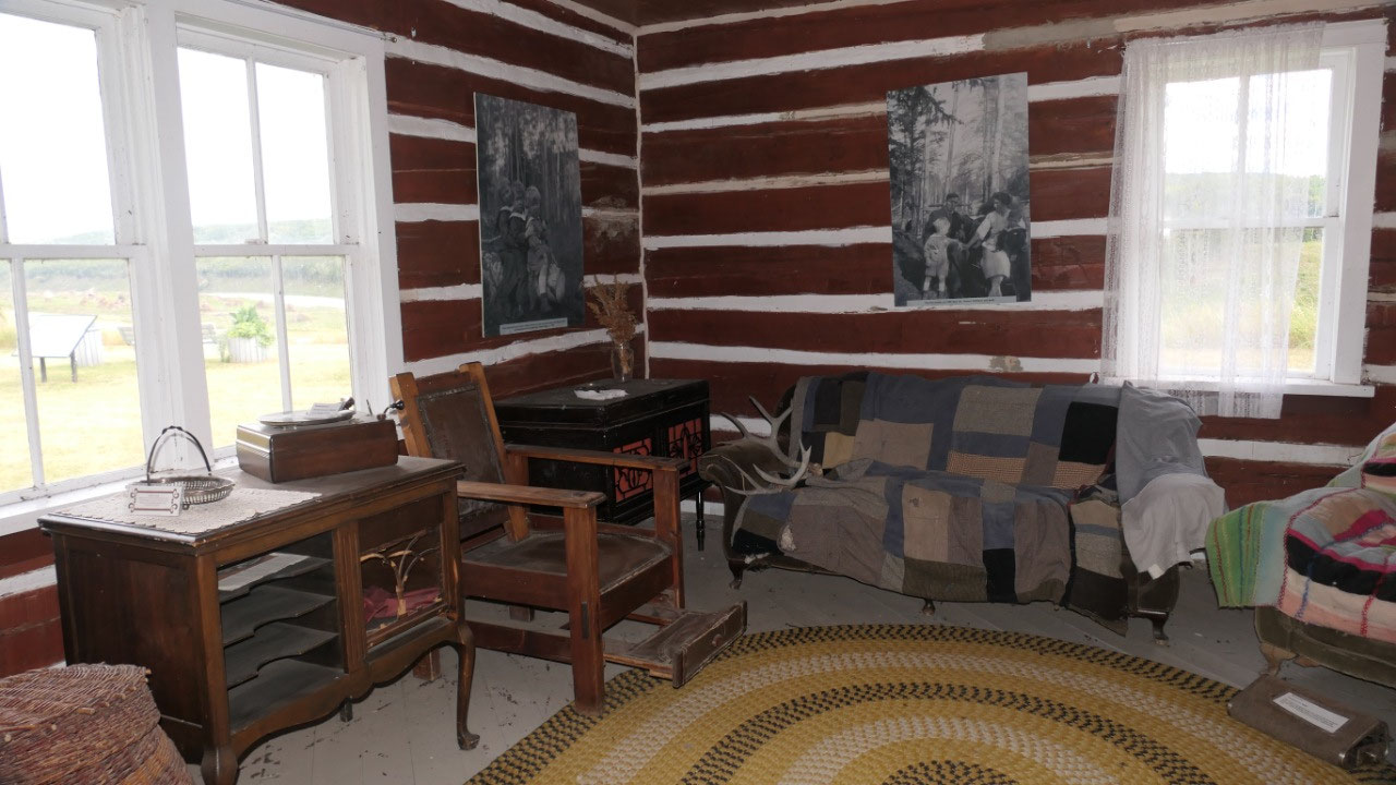
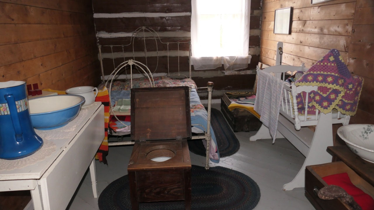
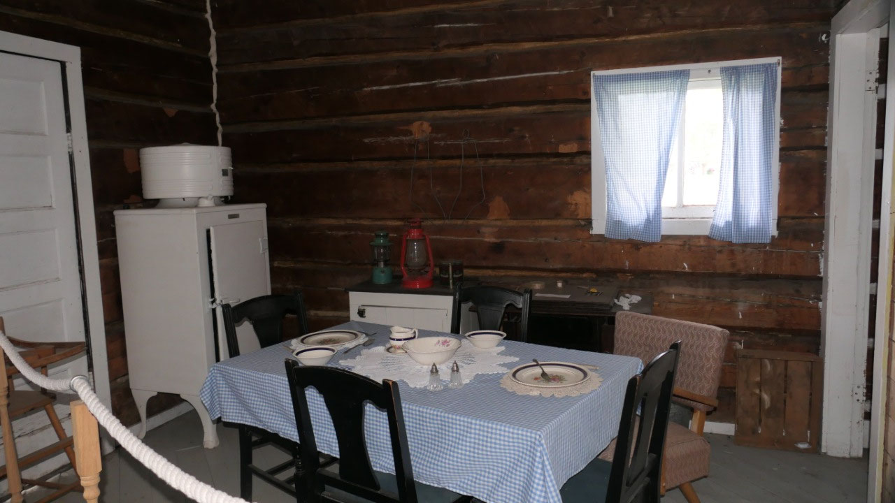
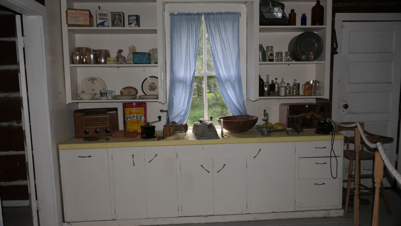
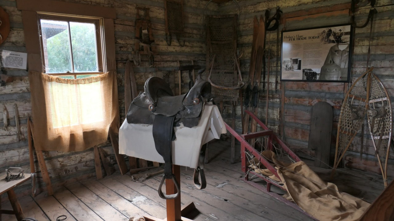
We then went back into Hudson’s Hope
and stopped at the museum – we walked around some of the old log buildings – as
per Paul we saw already plenty of those – so we were quite fast there: what was
nice was the log church (the St. Peters church from 1938), the trapper cabin
was so low the door was even to short for Gine, it was super cool to see the log house inside
on how they had some stuff between the logs, one of them was from 1938 looking
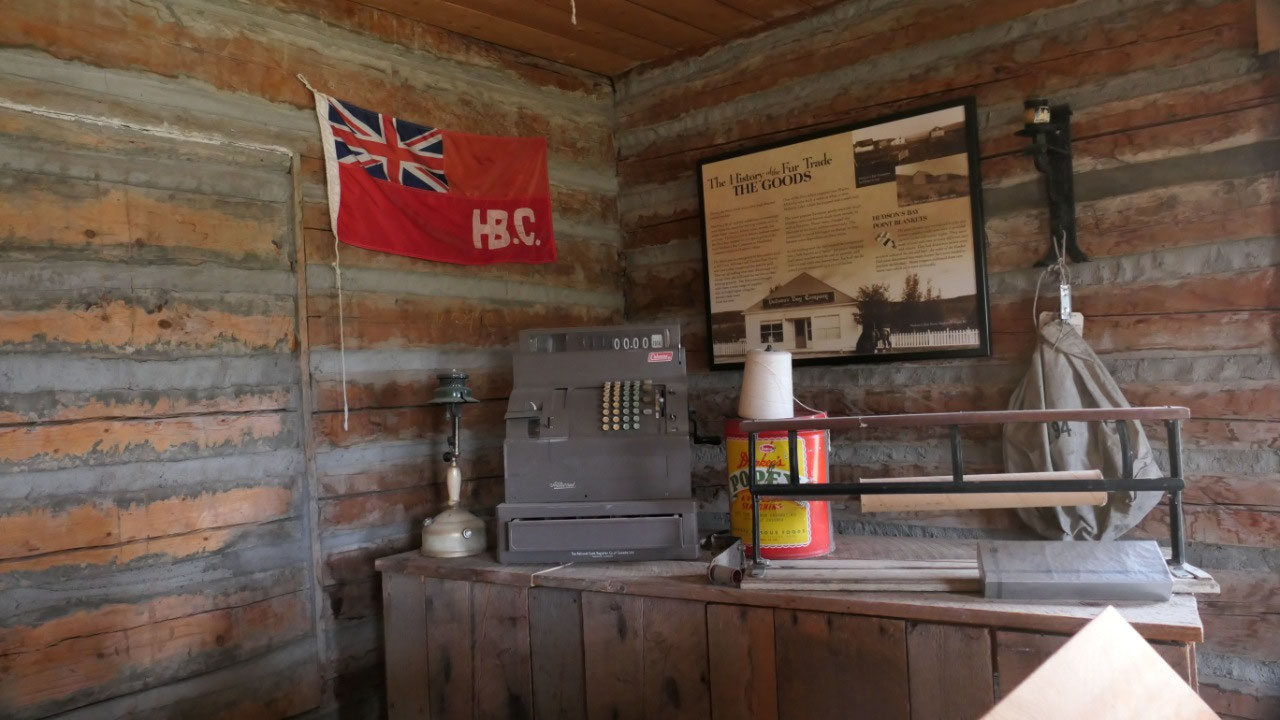
a bit like I remember from my grandma, the flag from the old HBC Company was
also very unique to see, and we learned about the famous Hudson Bay Blanket
(yes we have one at home).
- The Hudson Bay Point Blanket got introduced in 1780 and was a popular trade item they were made of wool and had different colors, they had distinctive points which indicated on how many beaver furs were needed to purchase a blanket
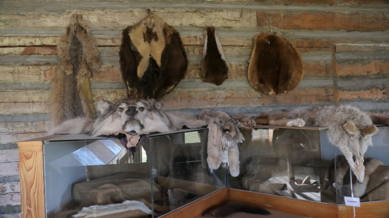
- The peace river area was a big fur trading area: where today the museum is was until 1954 the Hudson Bay Company store
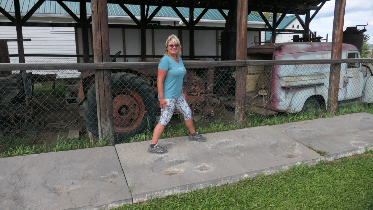
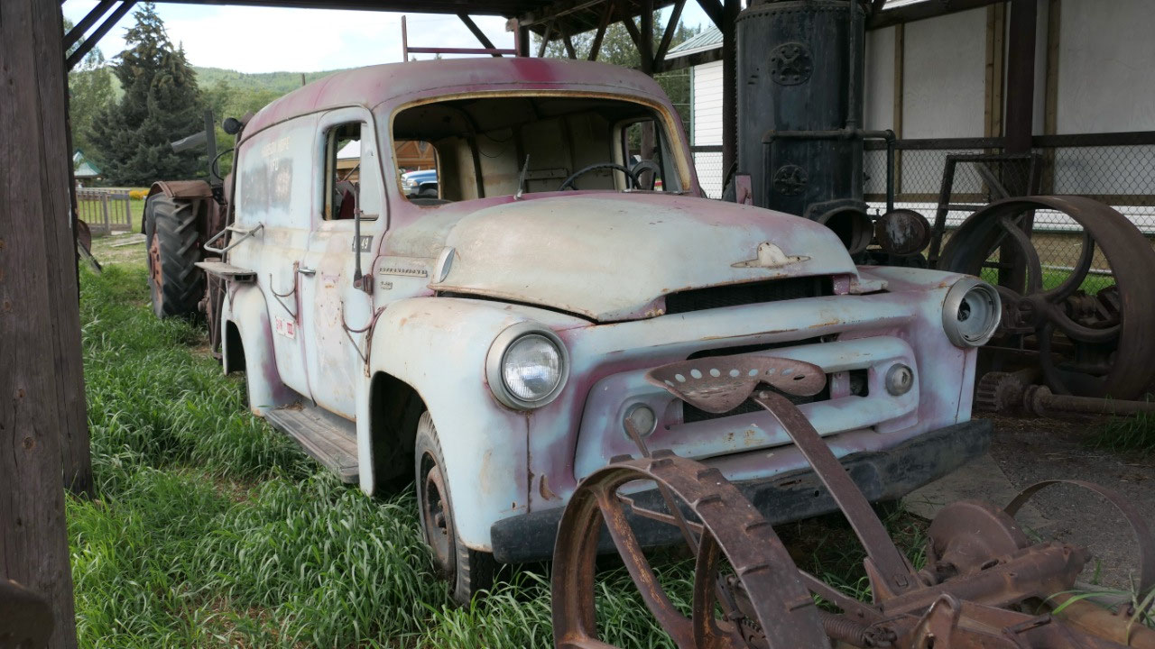
- We also saw Hudson’s hope’s first fire engine: the “Donkey” engine was used in the building of the WAC Bennett Dam
What was more amazing it is right
along the edge where you look down onto the Peace River and we saw the piles of
wood where they cut the trees and we were wondering on how high and big the
lake here will be.
And the most interesting part: as they
discovered Dinosaur footprints here, they don’t have the original by they had a
plaster made of them so we can check them out – did you know that even
Alexander Mackenzie talked about the giant crow feet prints he saw here??? I
think it was cool – I’m not so sure if Paul was so impressed.
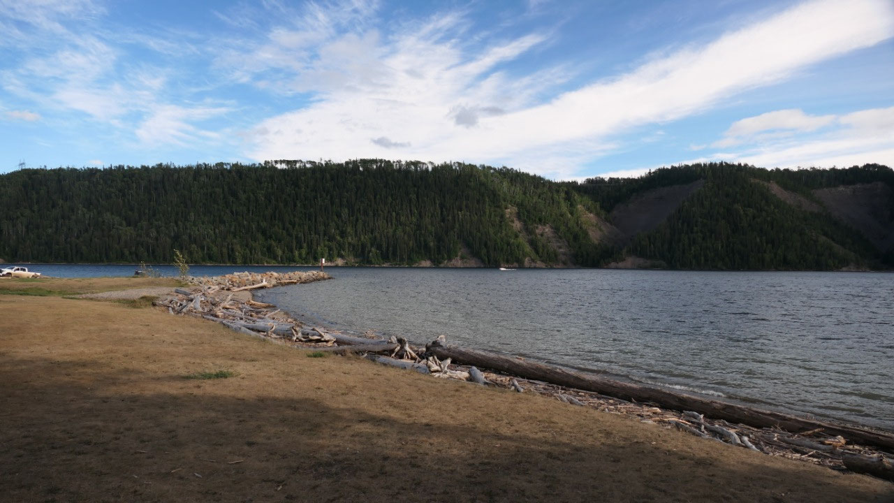
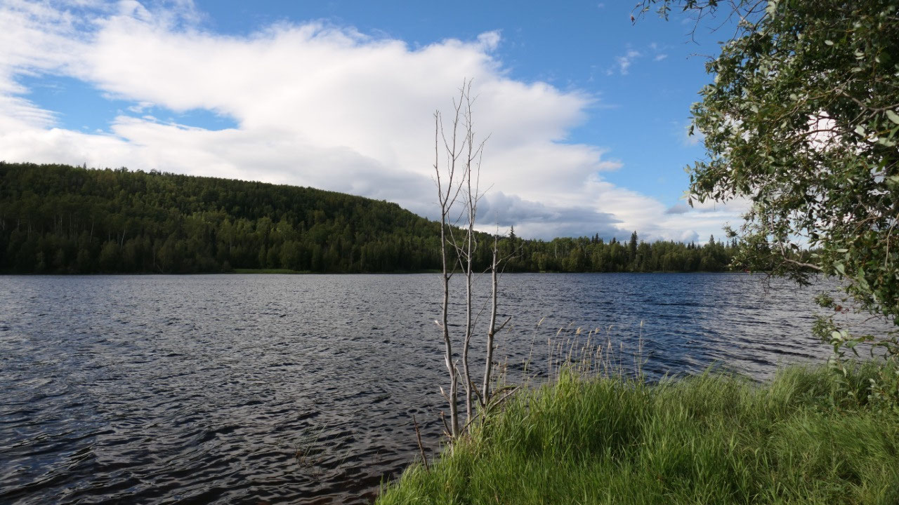
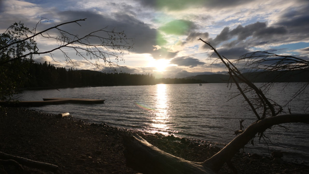
Coffee at Cameron Lake
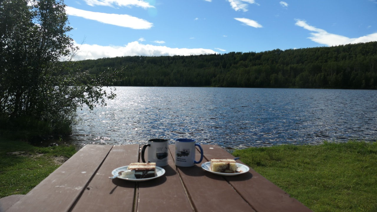
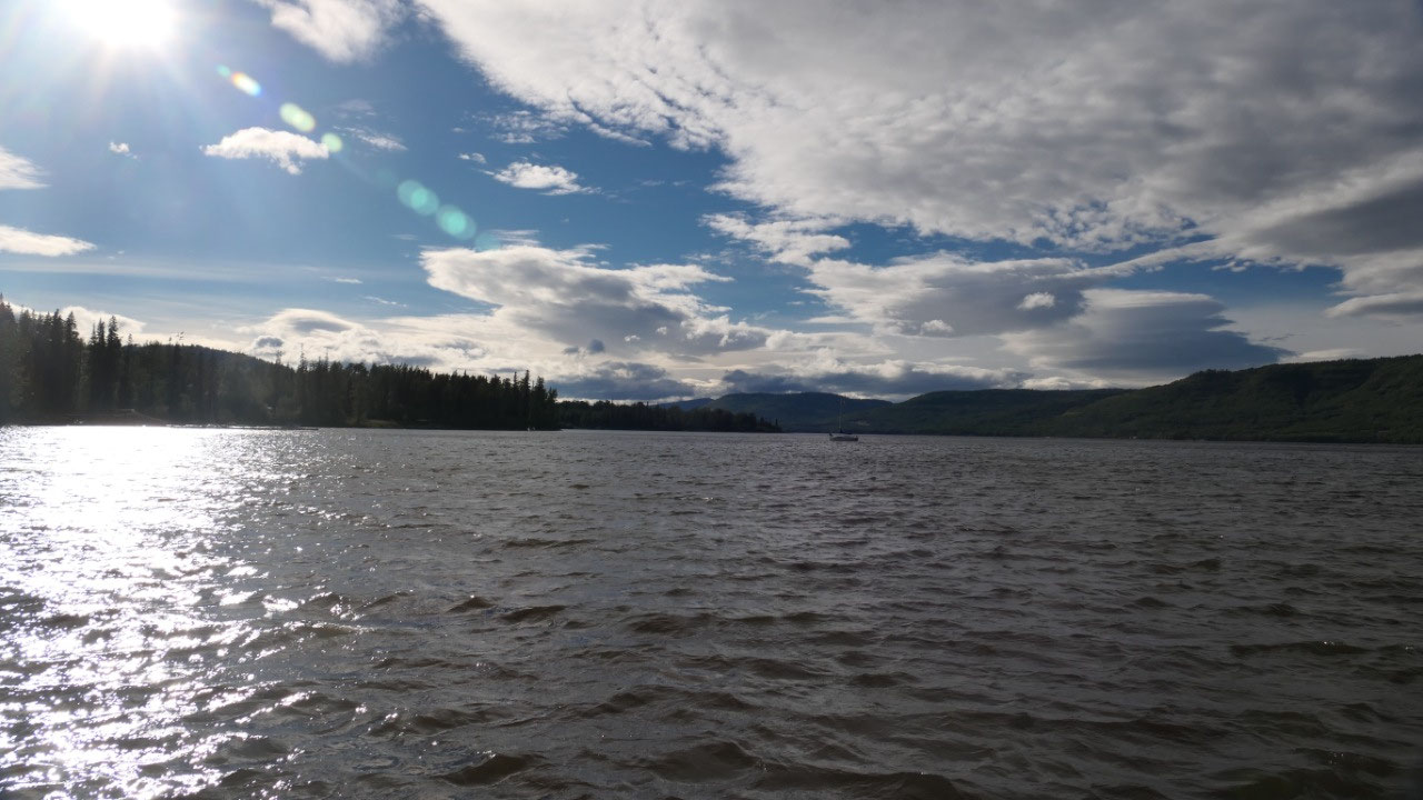
We went further south and stopped at
the Cameron Lake campground for coffee – and see there the sun came out and we
had a nice warm (with wind) break to enjoy the lake view and the coffee – but
it was not hot enough to stay here and so we kept going.
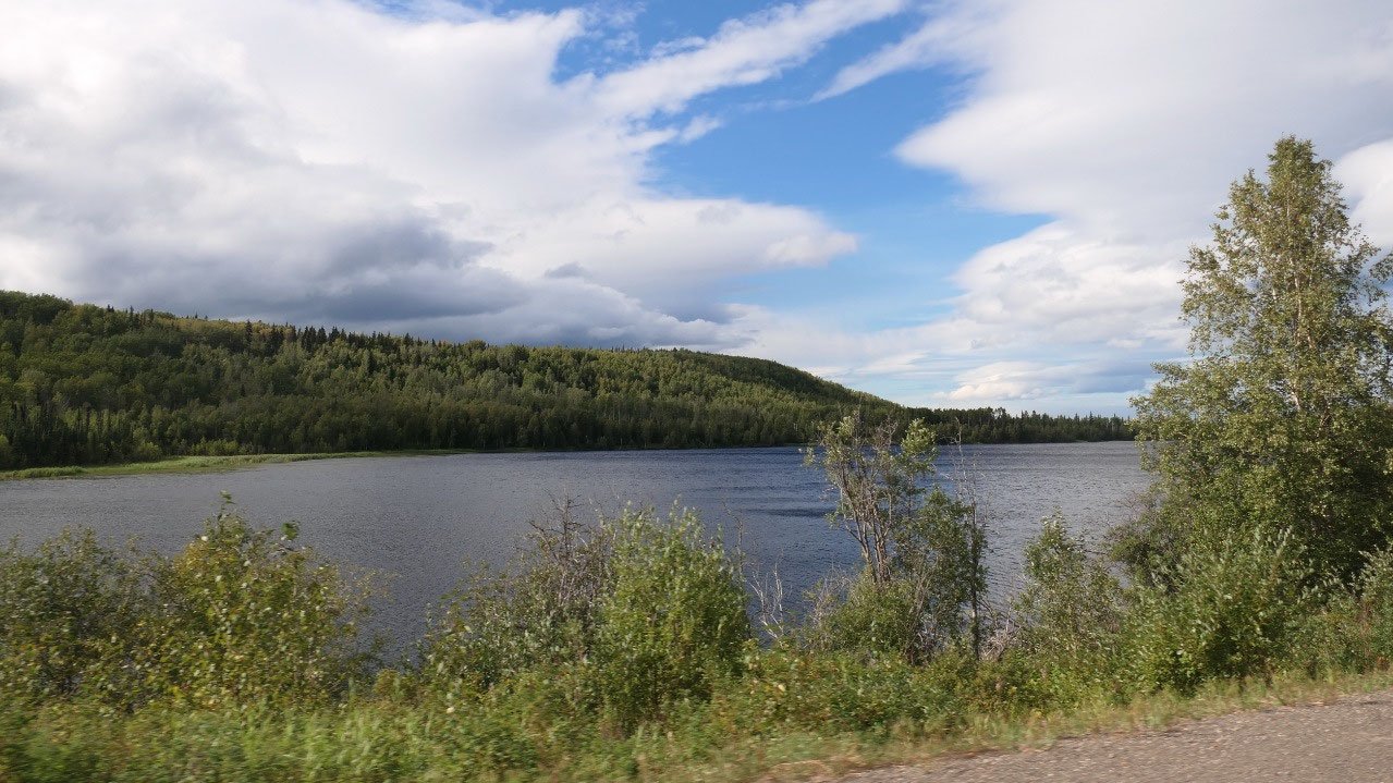
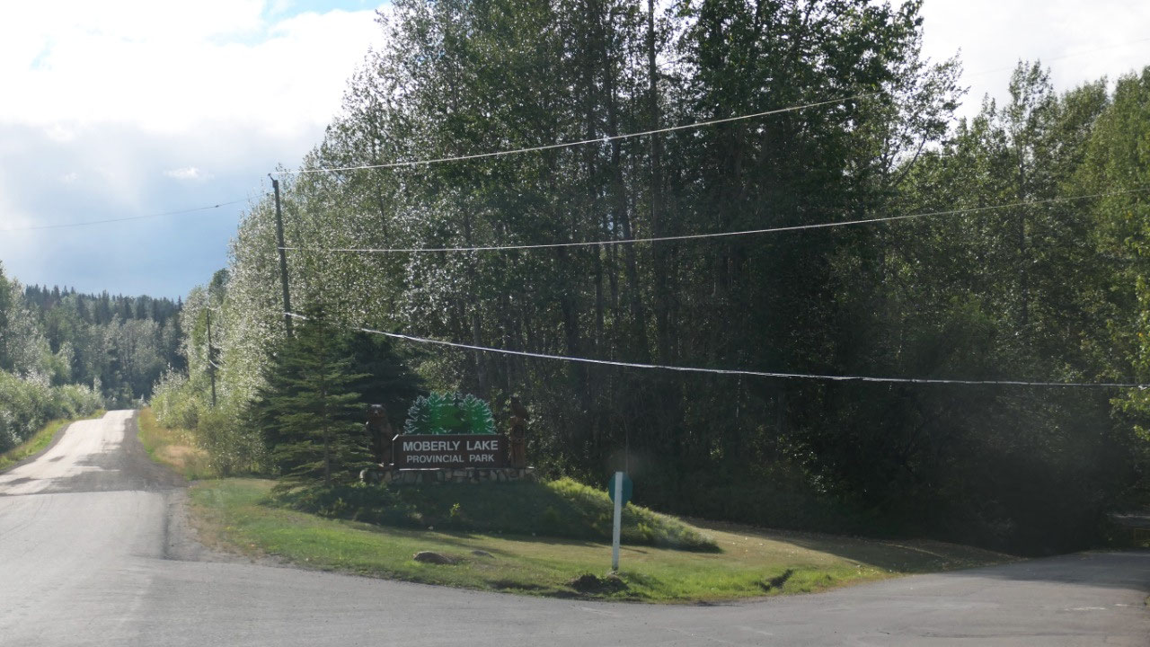
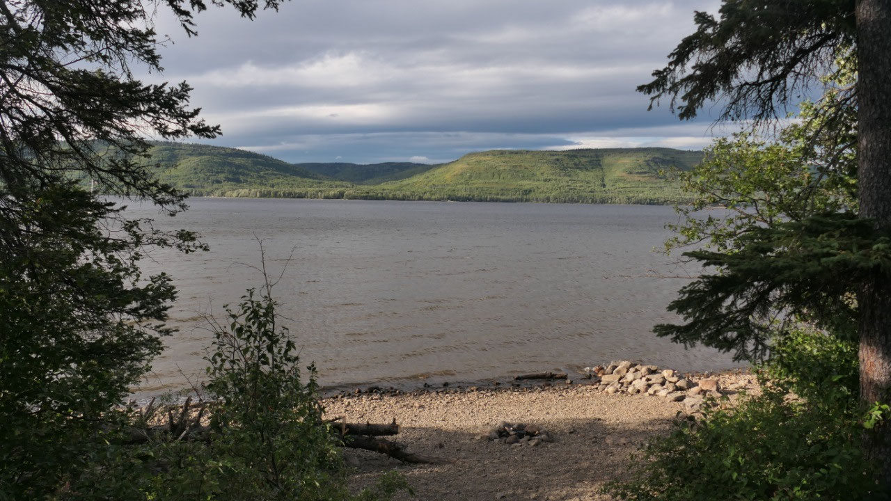
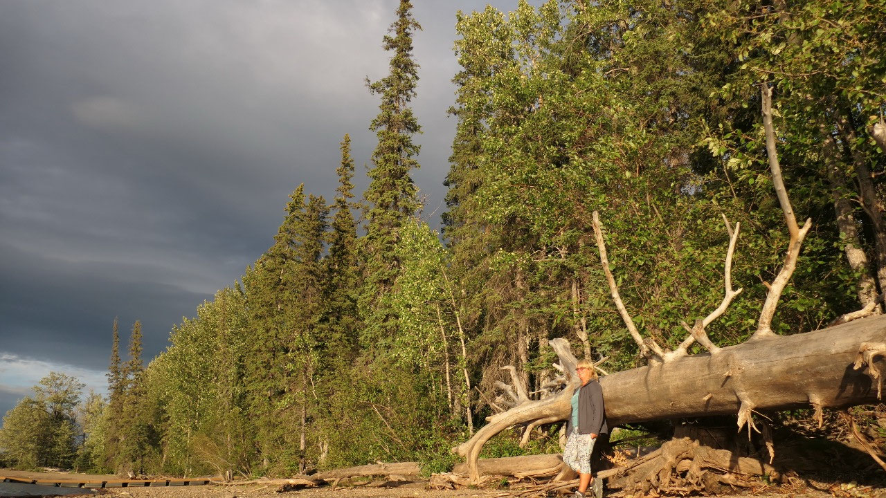
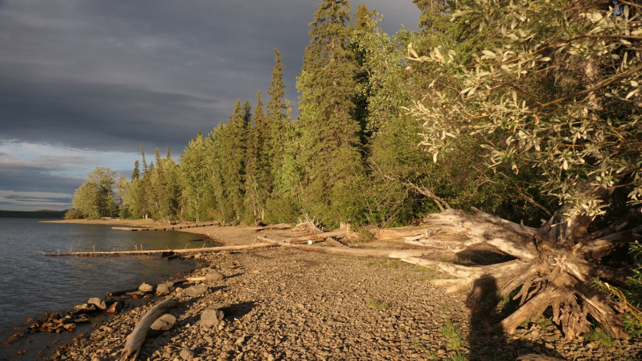
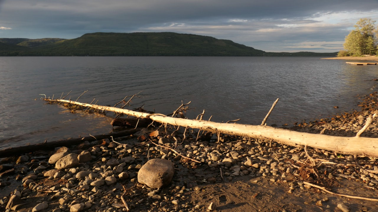
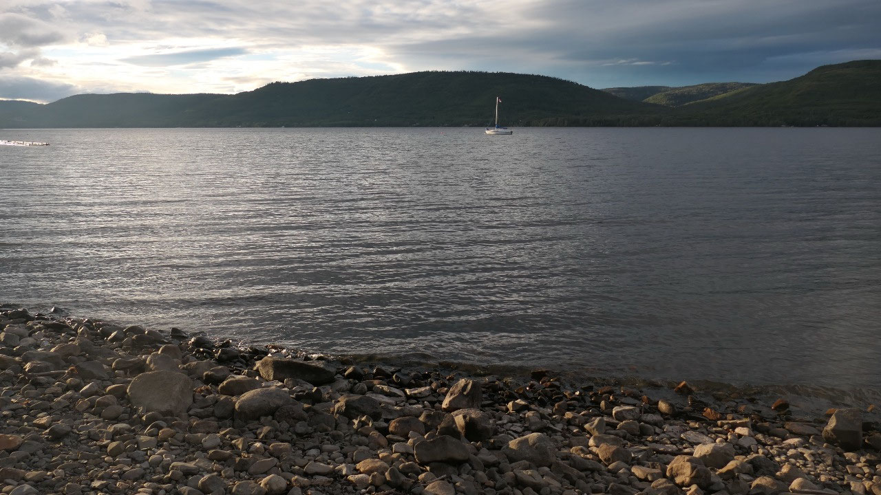
Lakeview site at Moberly Lake PP
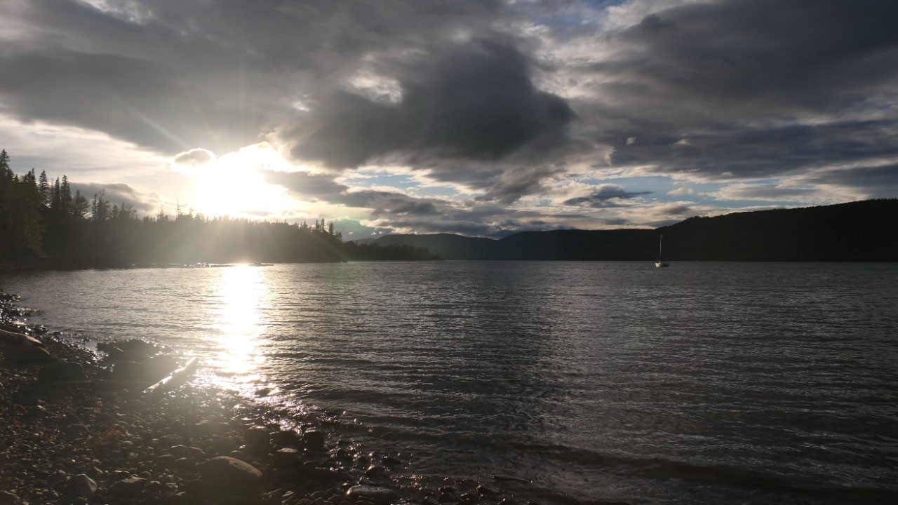
We pulled into this huge campground
with lots and lots of empty sites – in august!!! And as we look we didn’t find the perfect
spot, but one with some lakeview and a path down to the lake. I mean it is already
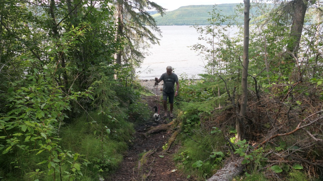
5 pm and we will leave tomorrow – so no big deal. We enjoyed a bit the
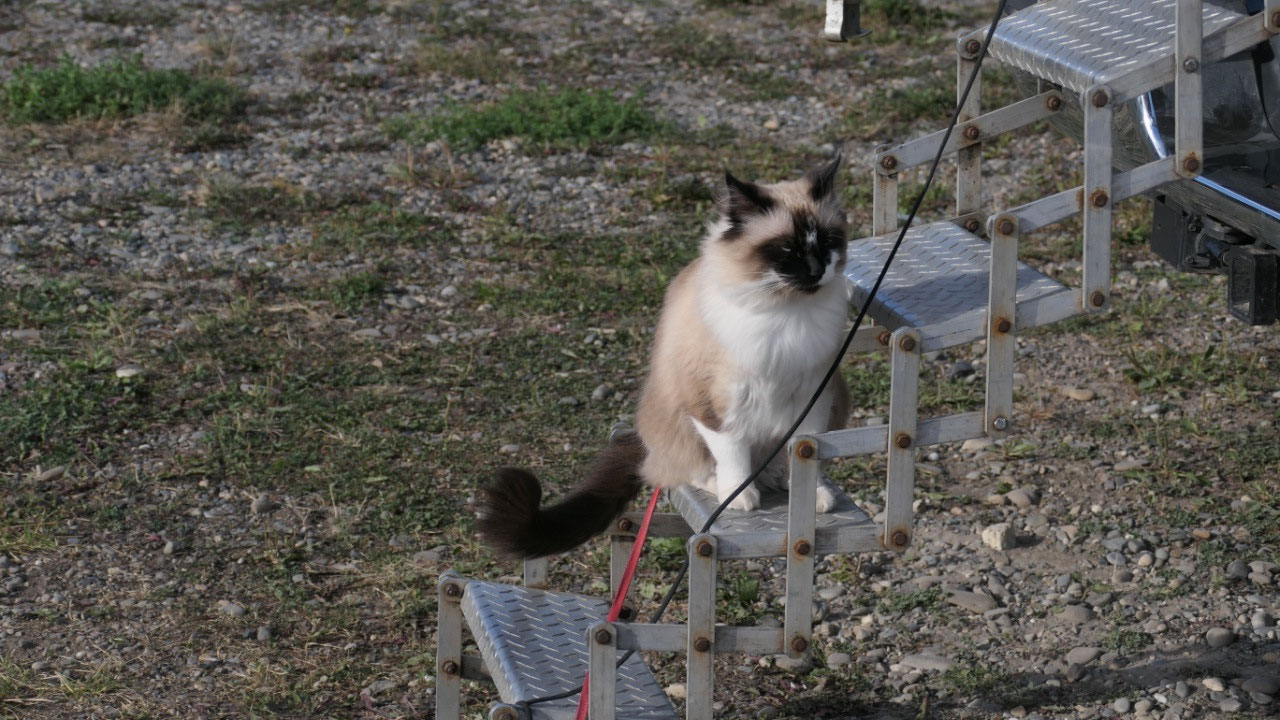
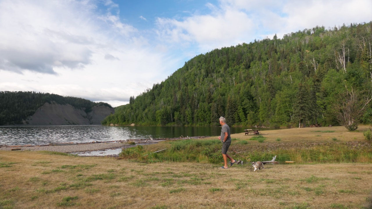
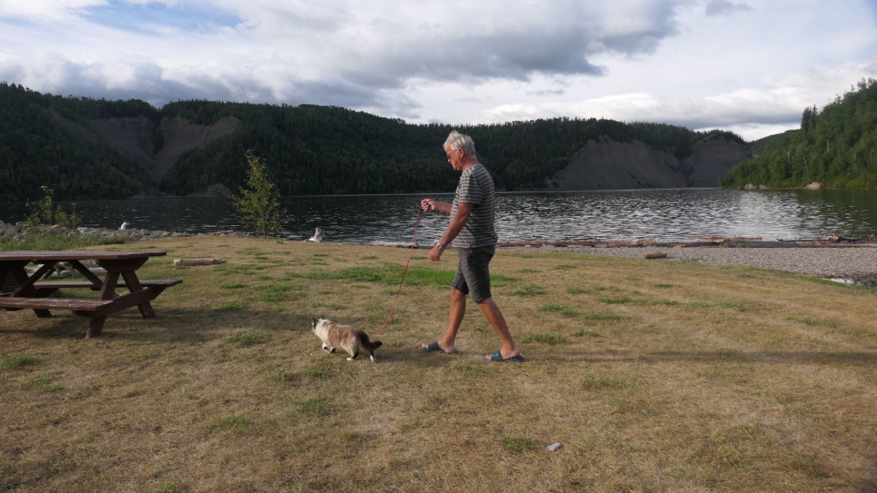
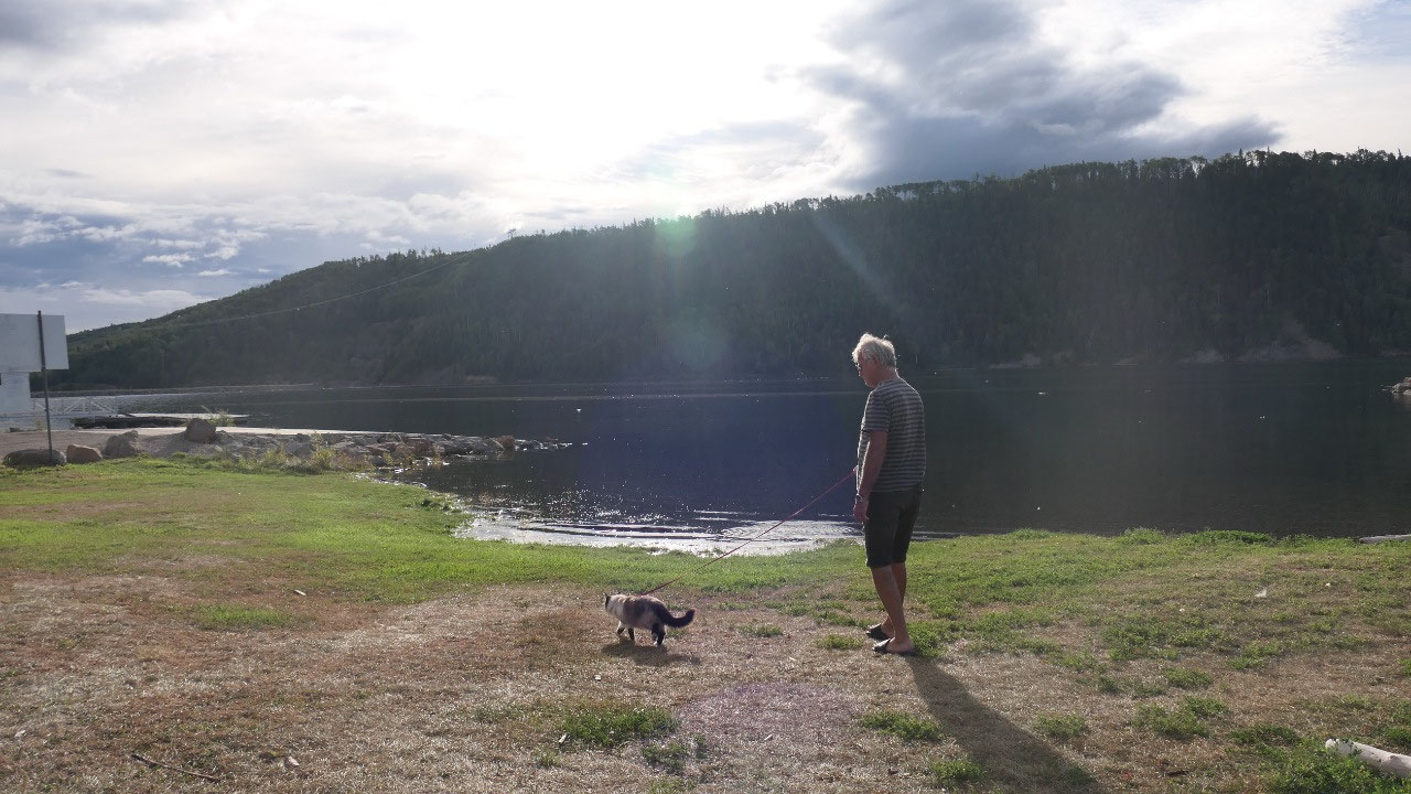
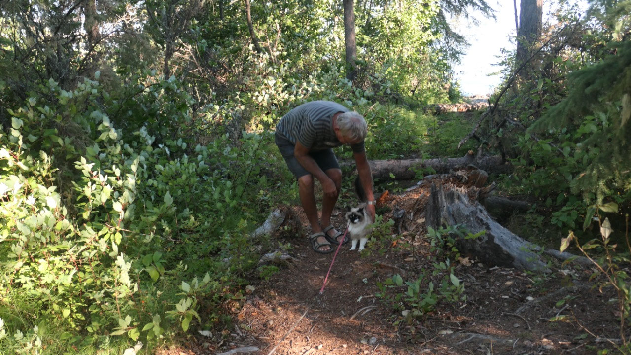
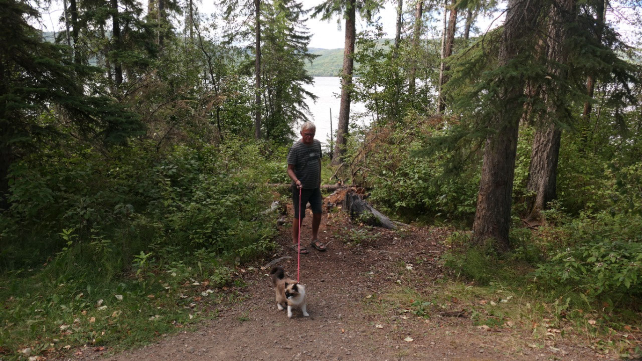
sunshine, walked down to the beach (with Mandy on the leash) and after supper
enjoyed a little bit more outside time with sunset over the lake.
- By the way Walter Moberly was one of the first white traders in this area and he built a cabin on this lake to trap
As it was shady in our campground we
decided to leave right after coffee.

2025-05-22