 Topes de Collantes, Sancti Spíritus, Cuba
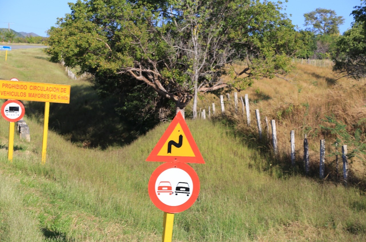
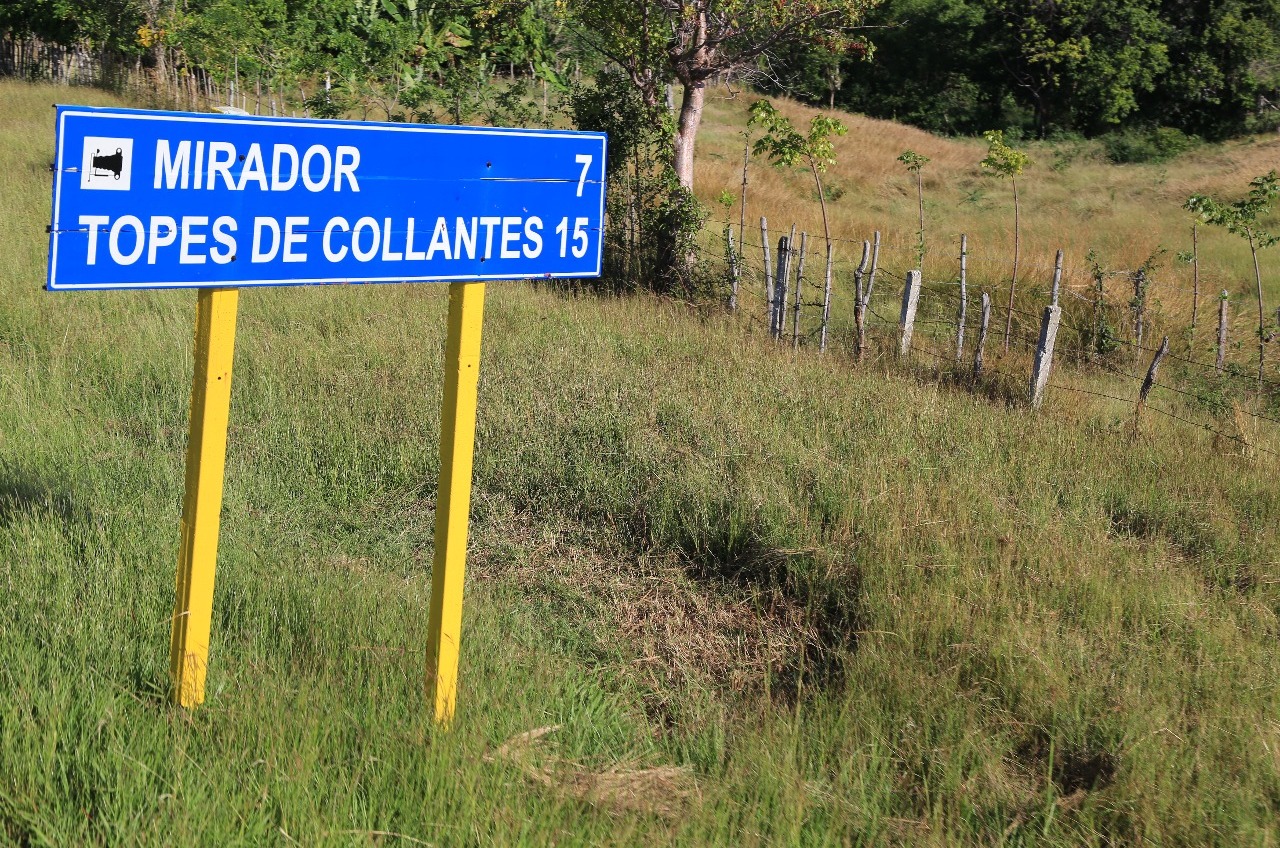
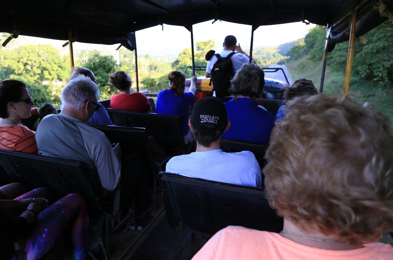
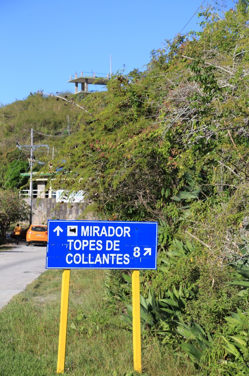
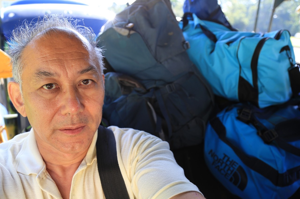
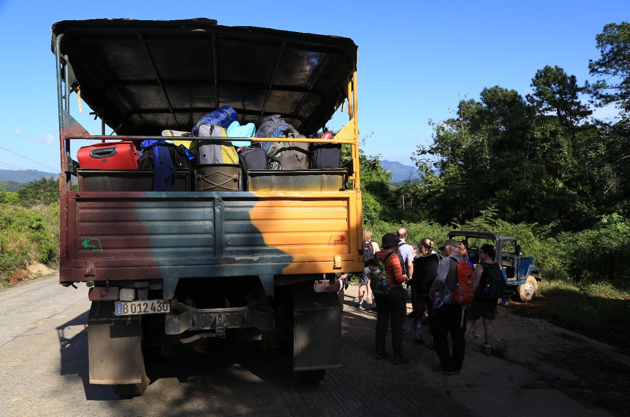
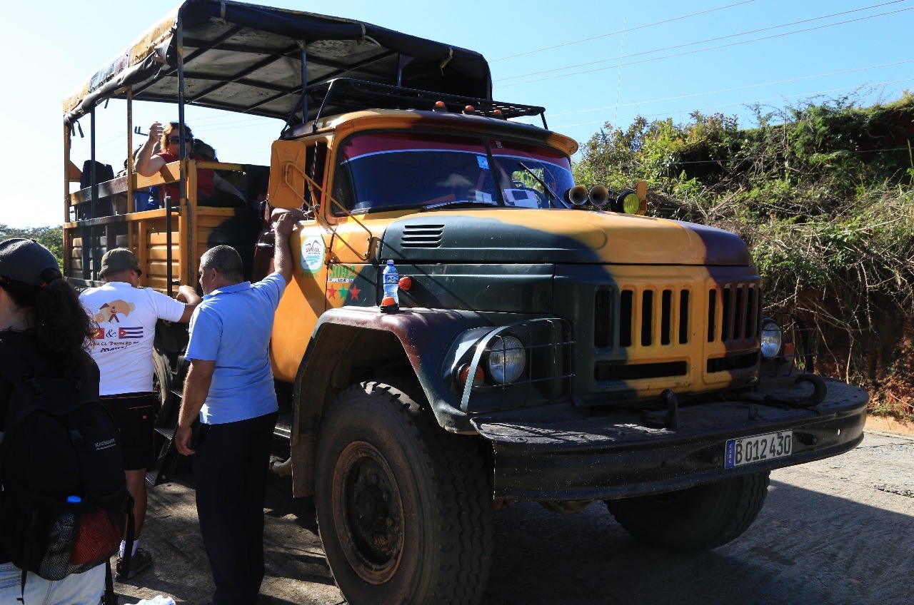
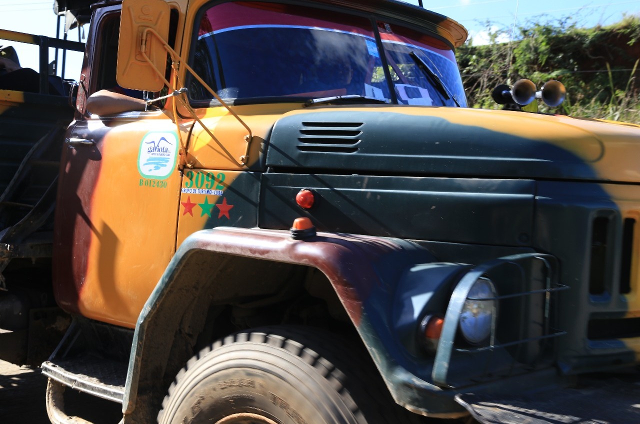
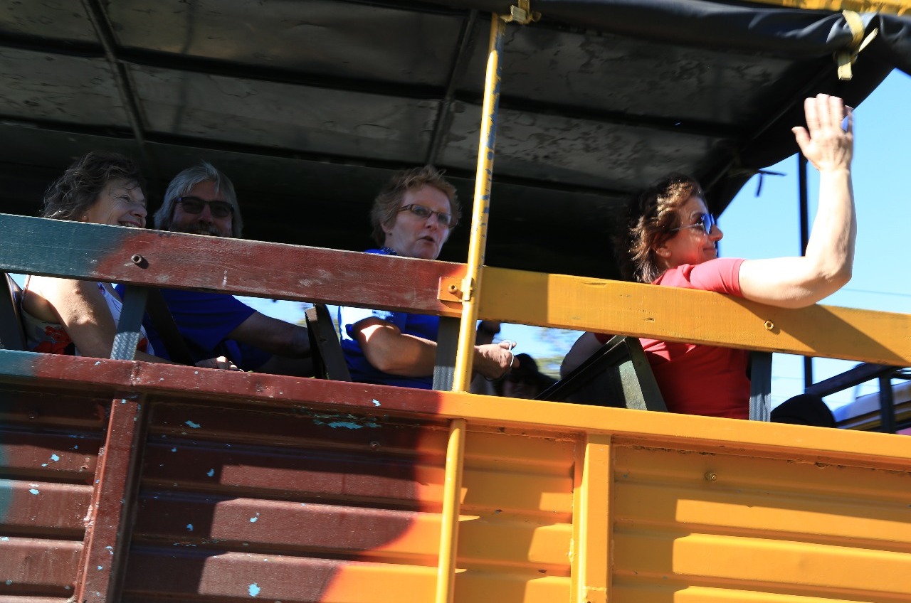
Just out of Trinidad we got into the Russian truck for the 20 km drive up hill to Topes de Collantes. One reason why I chose Explore was that this tour got us out into the Cuban green hills with several days of short treks. Nothing on paper too strenuous for this ageing ….
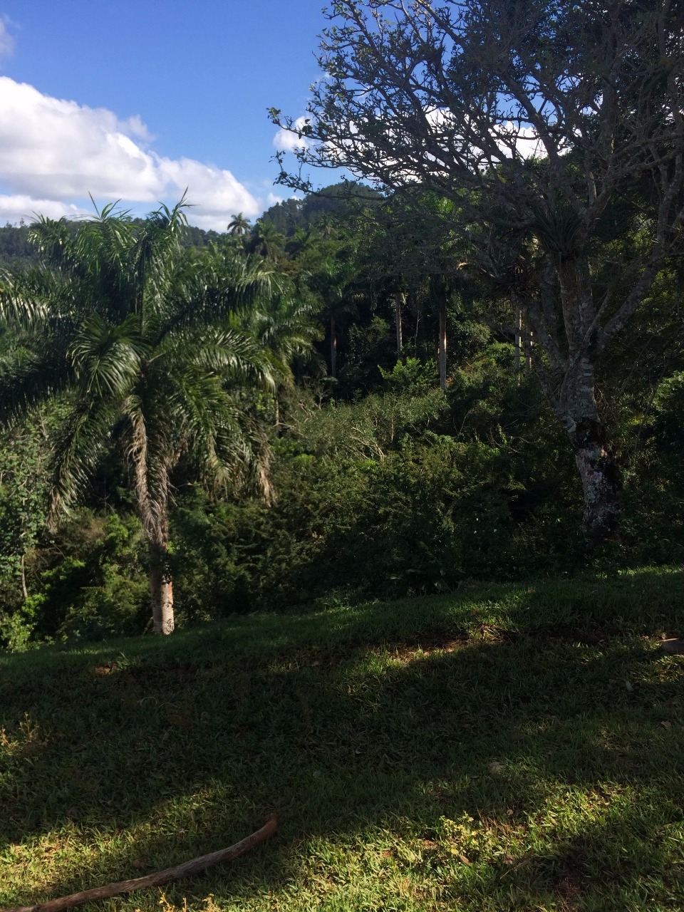
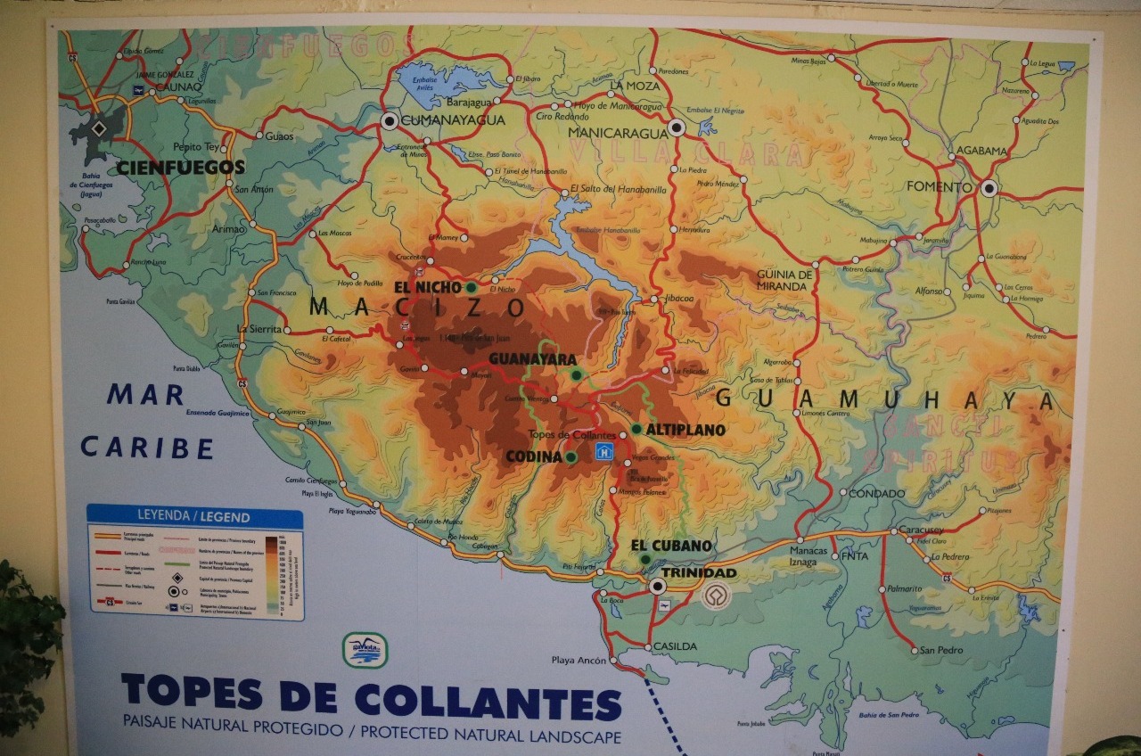
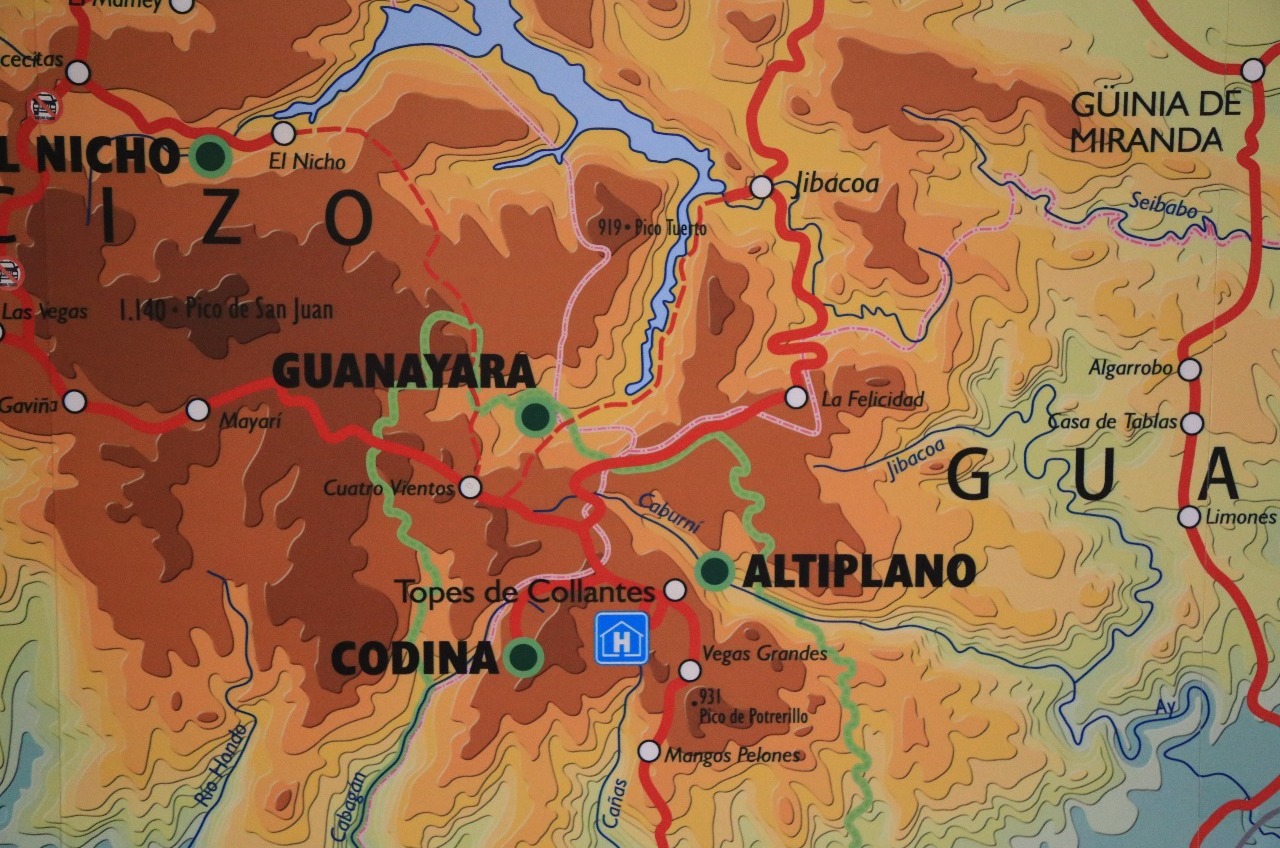
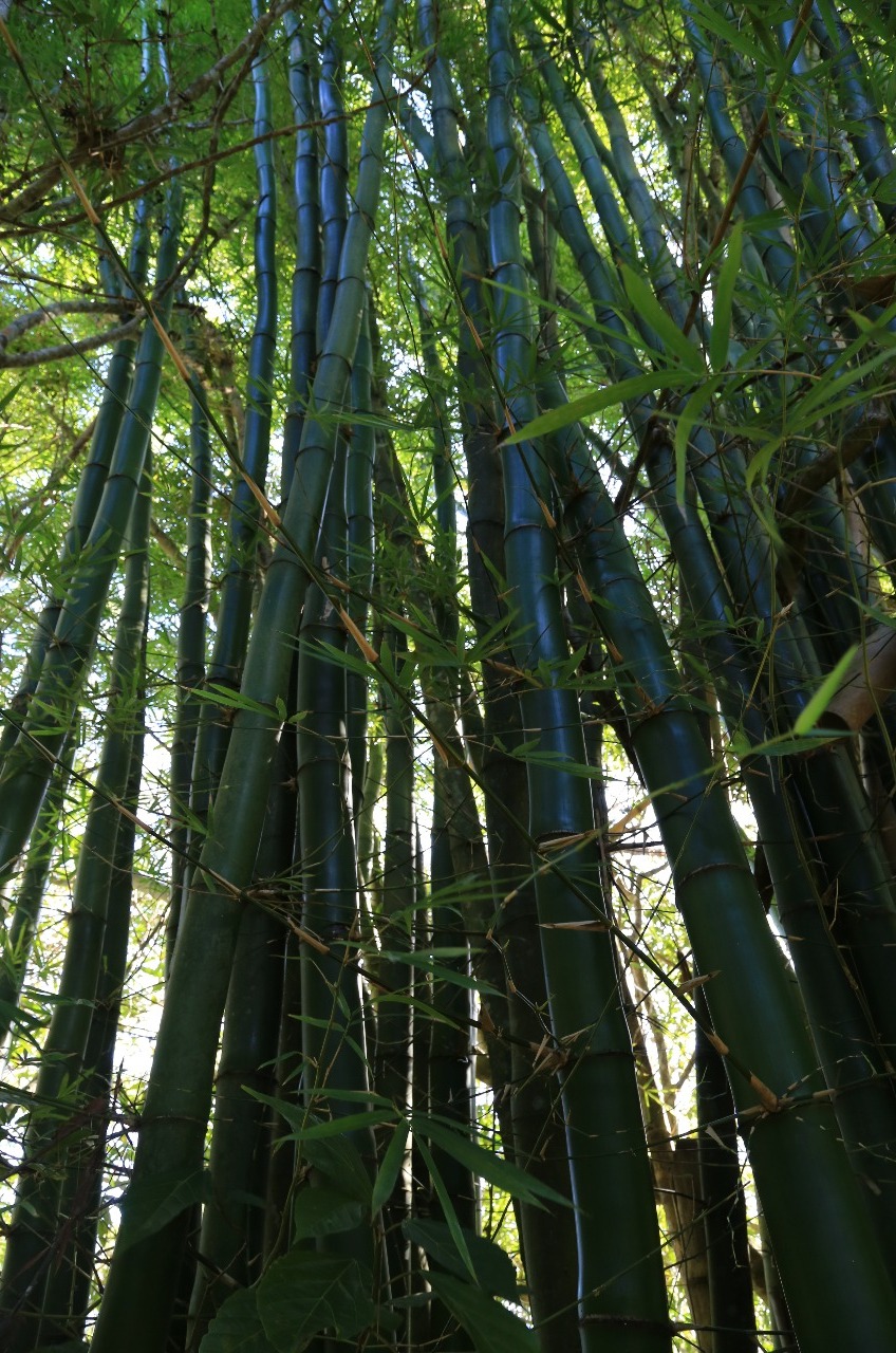
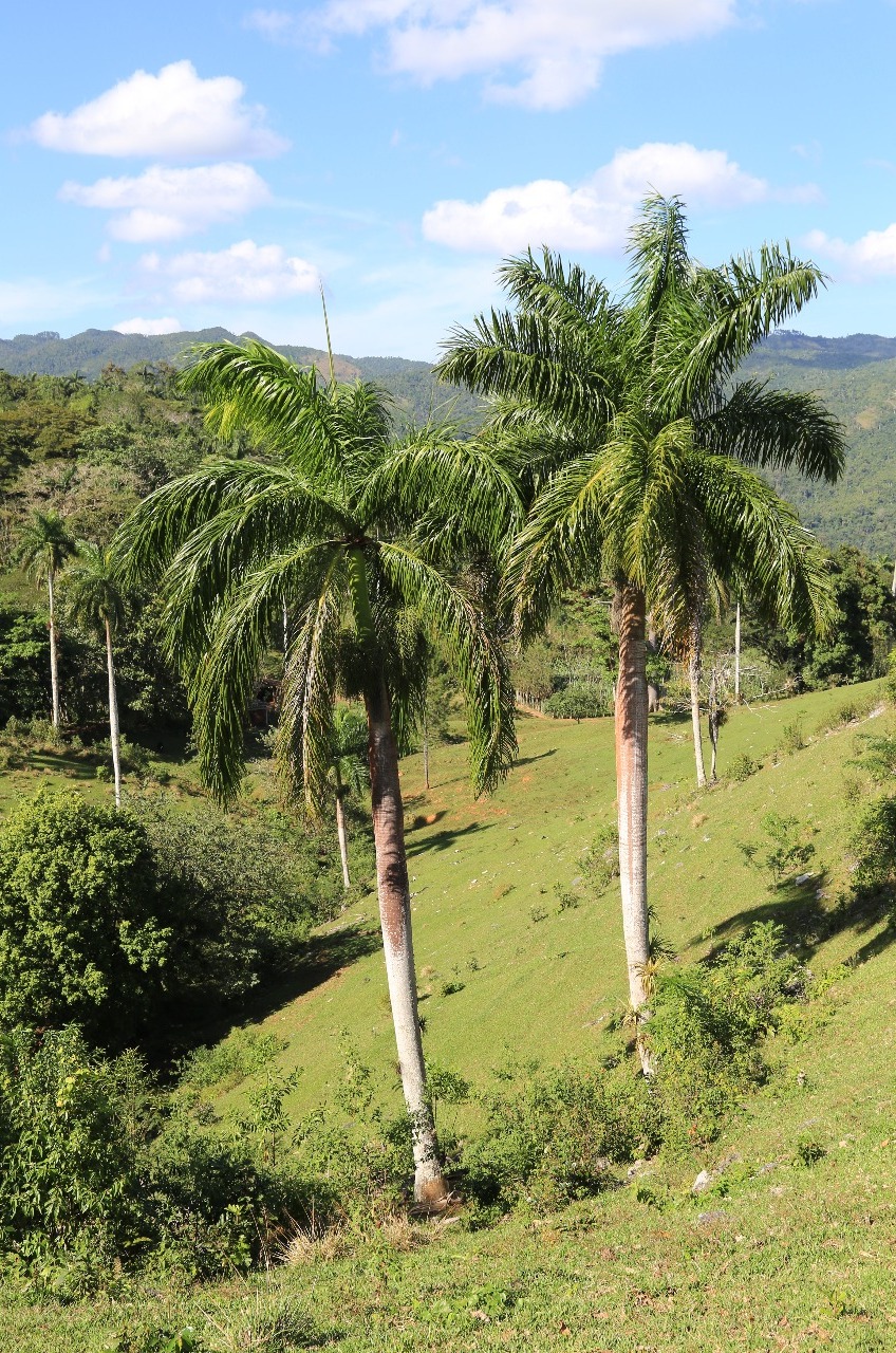
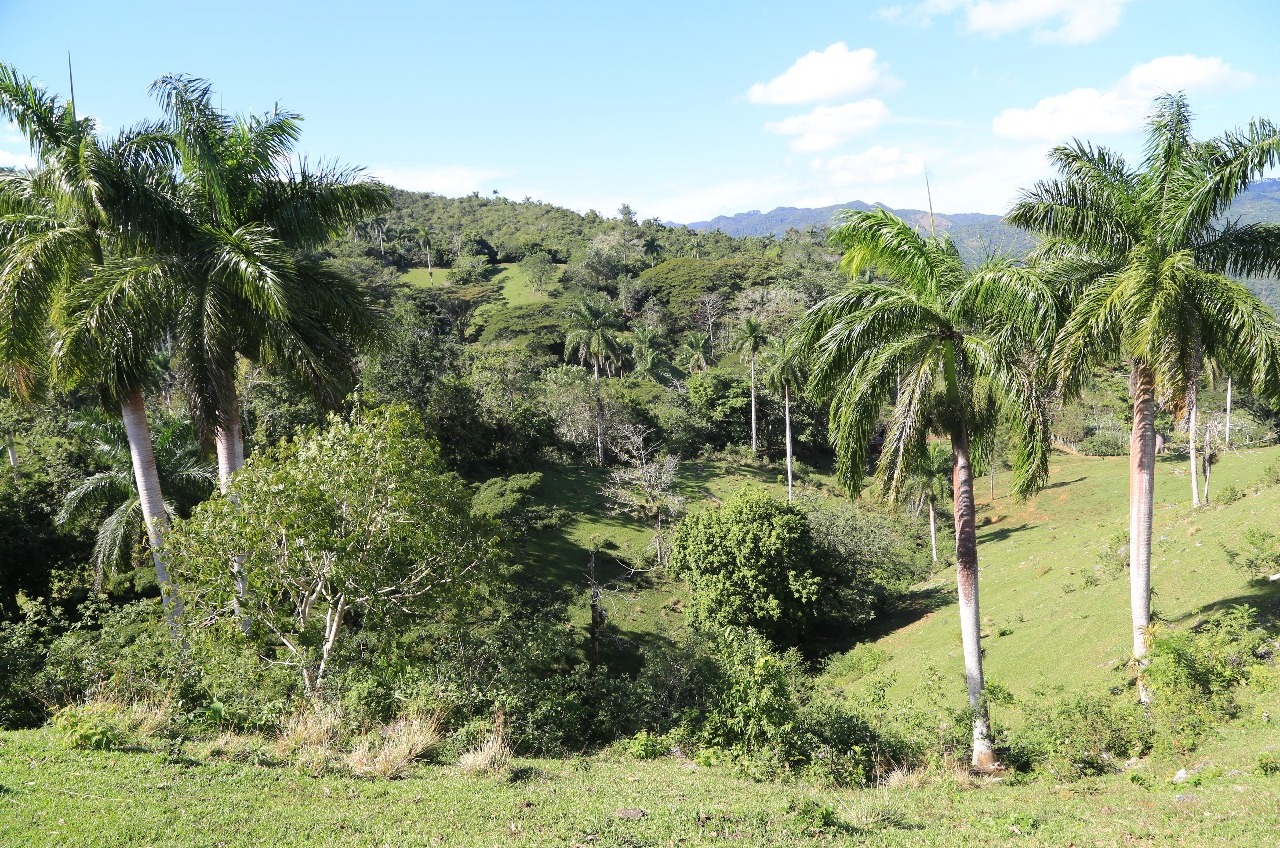
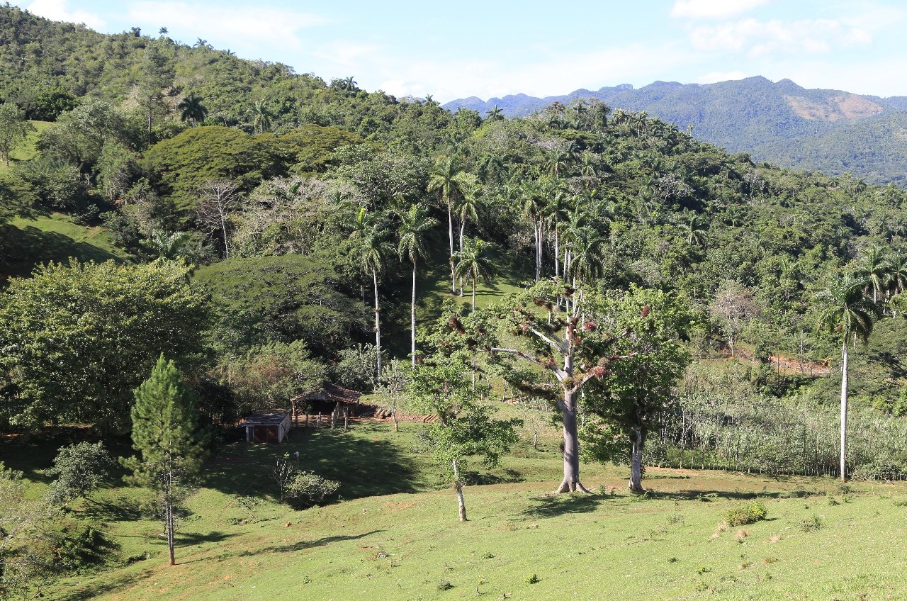
The crenelated, 90km-long Sierra del Escambray is Cuba's second-largest mountain range, and it straddles the borders of three provinces: Sancti Spíritus, Cienfuegos and Villa Clara. Though not particularly high (the loftiest point, Pico de San Juan, measures just 1,156m), the mountain slopes are rich in flora and surprisingly isolated. In late 1958 Che Guevara set up camp in these hills on his way to Santa Clara and, less than three years later, CIA-sponsored counterrevolutionary groups operated their own cat-and-mouse guerrilla campaign from the same vantage point.
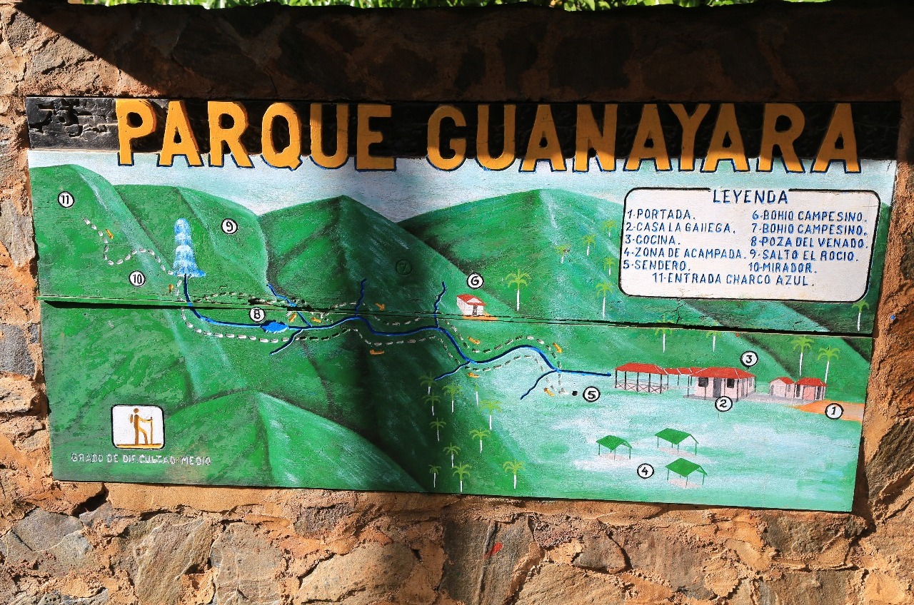
Though not strictly a national park, Topes is, nonetheless, a heavily protected area. The umbrella park, comprising 200 sq km.
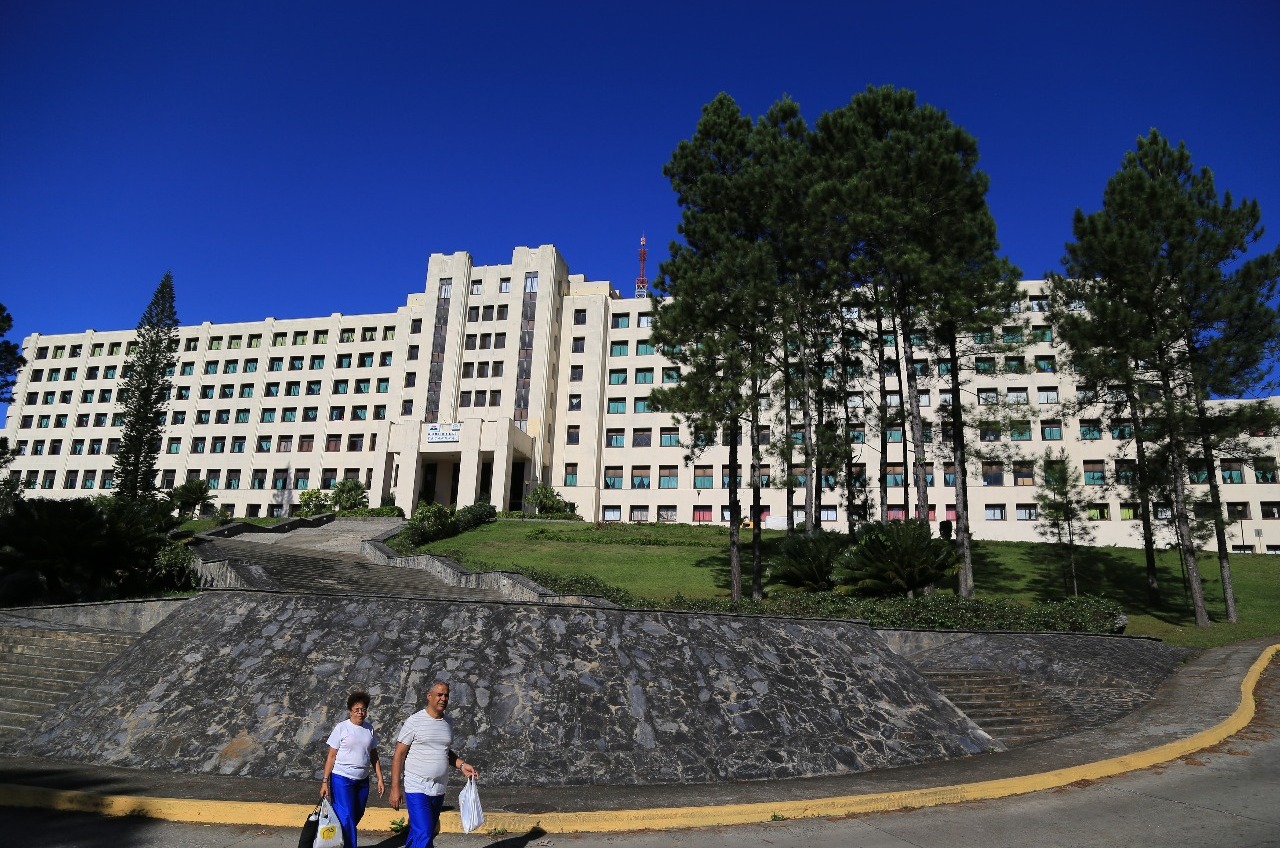
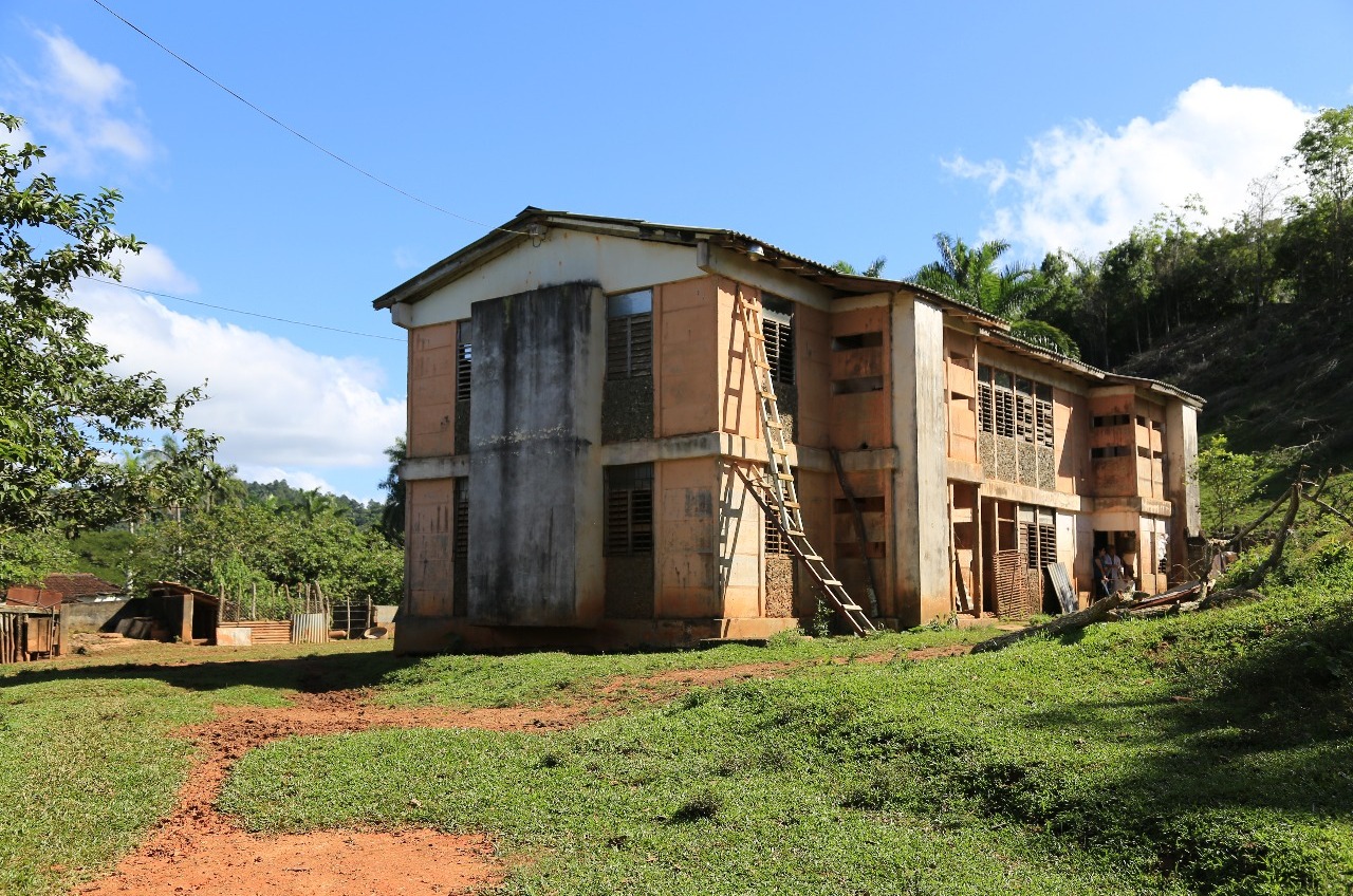
The park takes its name from its largest settlement, an ugly health resort founded in 1937 by dictator Fulgencio Batista to placate his sick wife, for whom he built a quaint rural cottage. The architecture went downhill thereafter with the construction of an architecturally grotesque tuberculosis sanatorium (now a health 'resort') begun in the late '30s but not opened until 1954.
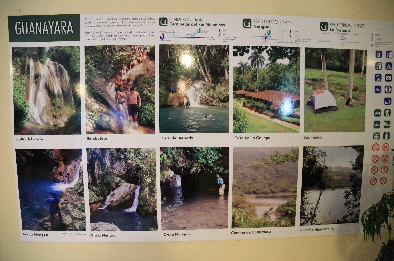
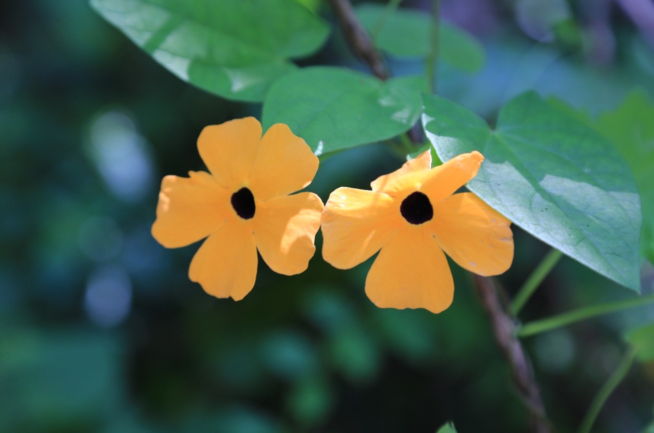
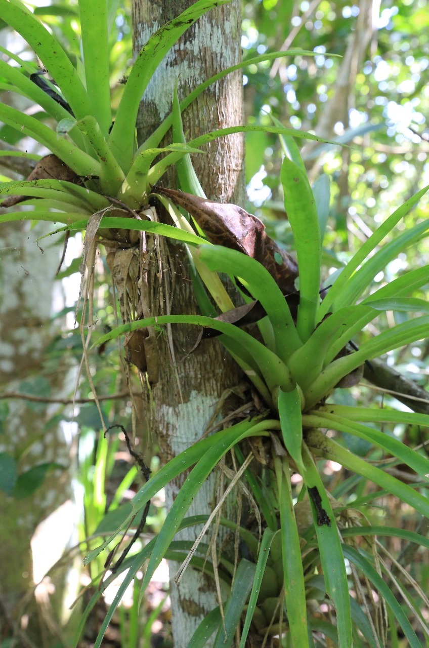
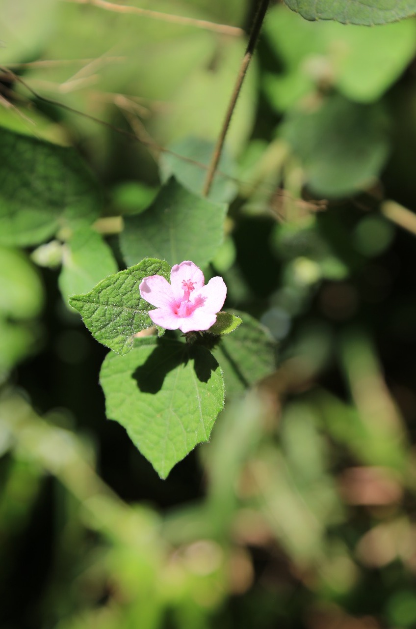
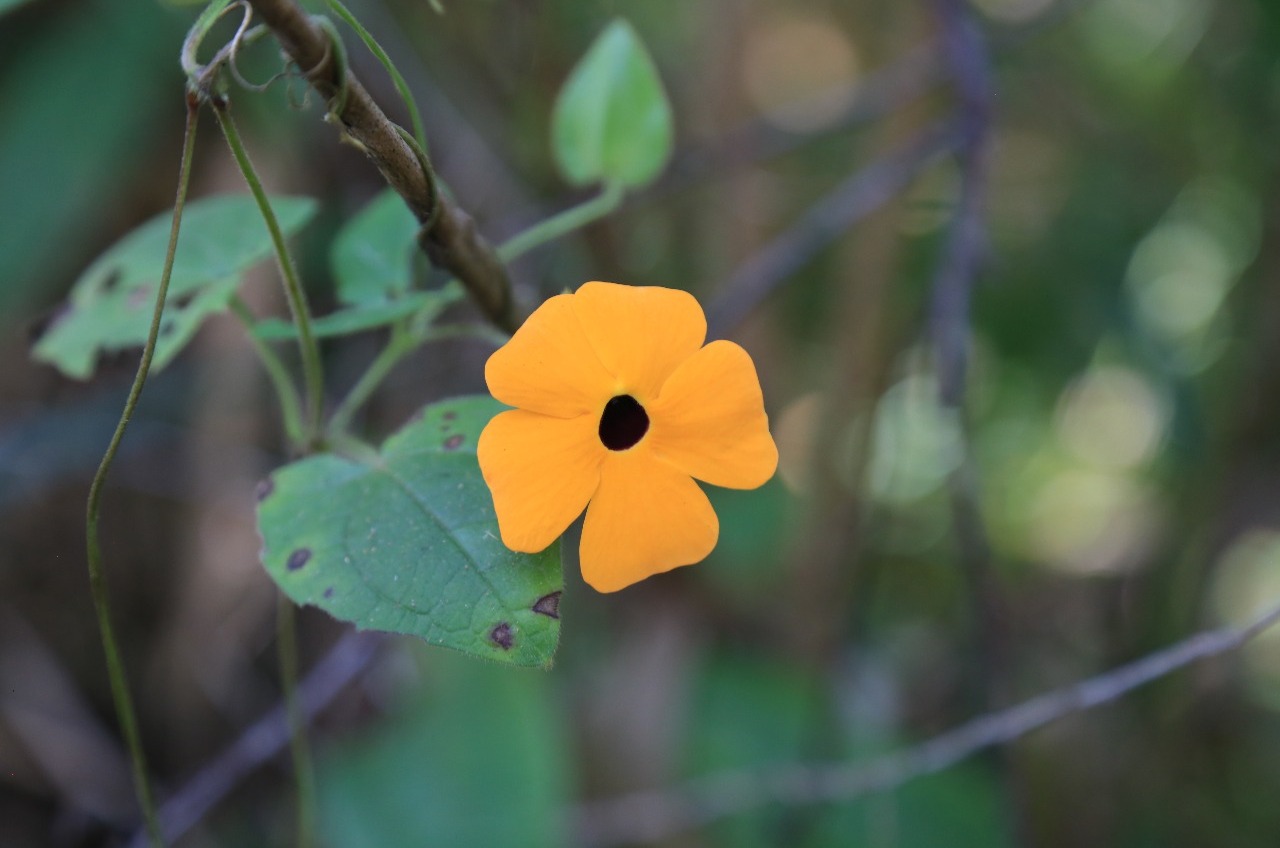
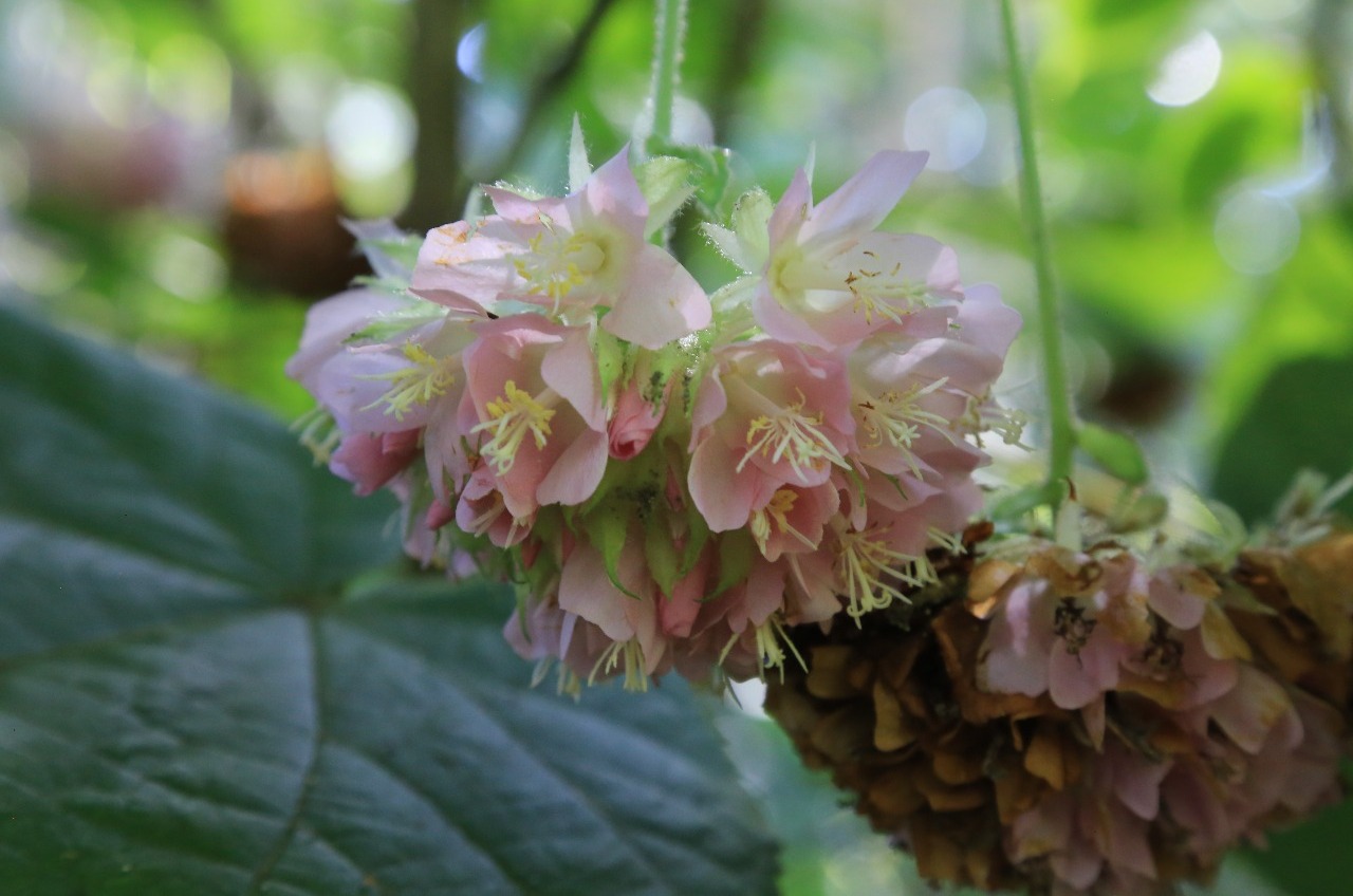
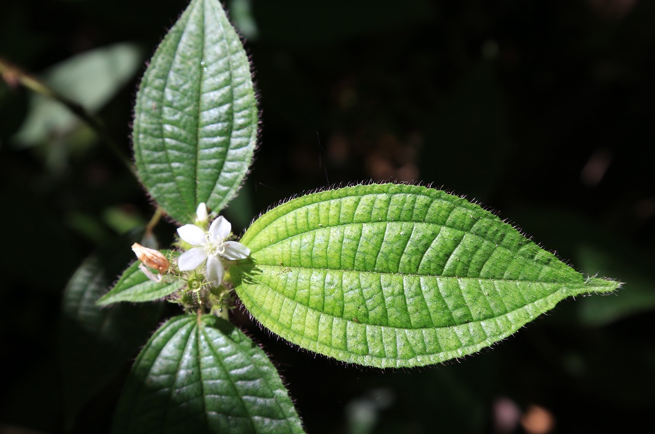
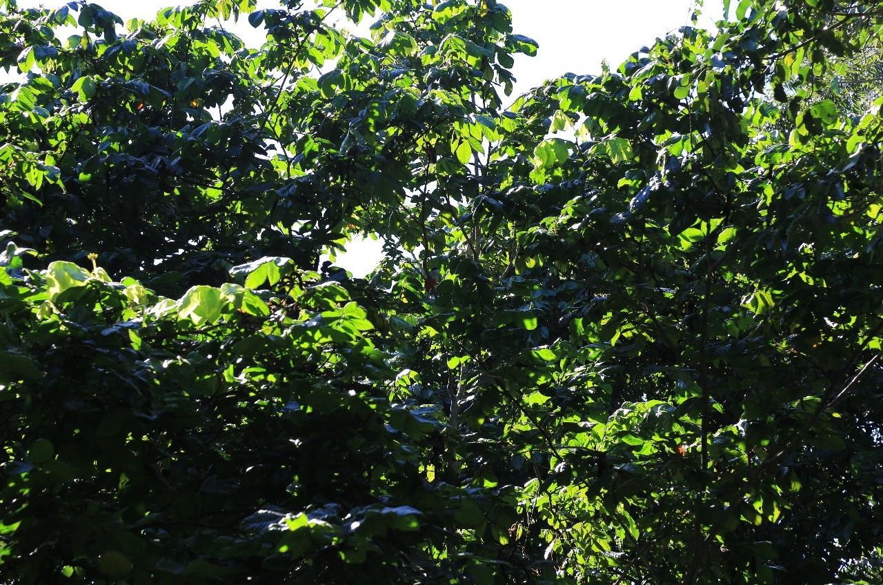
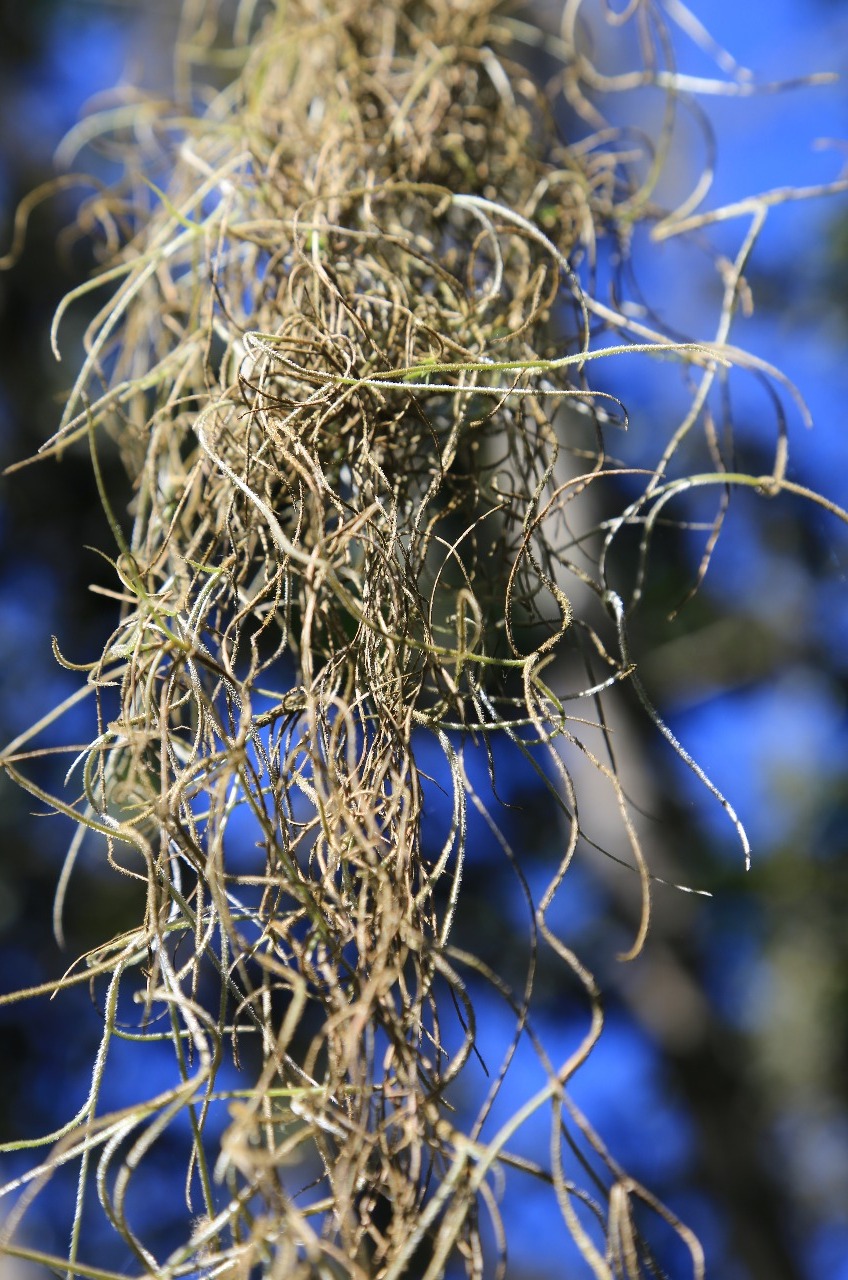
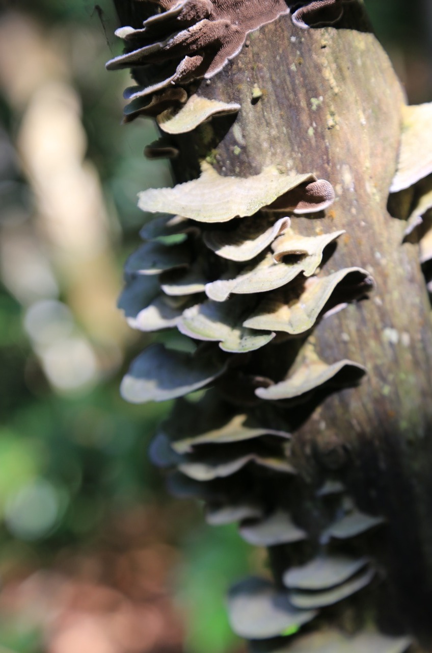
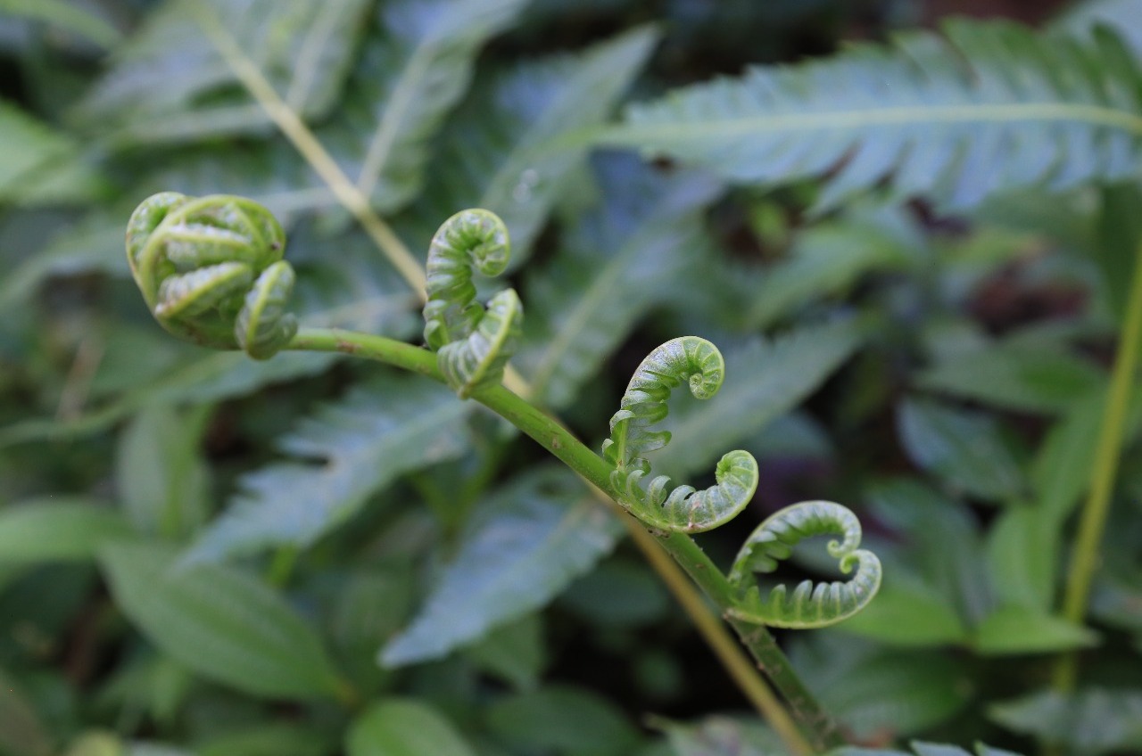
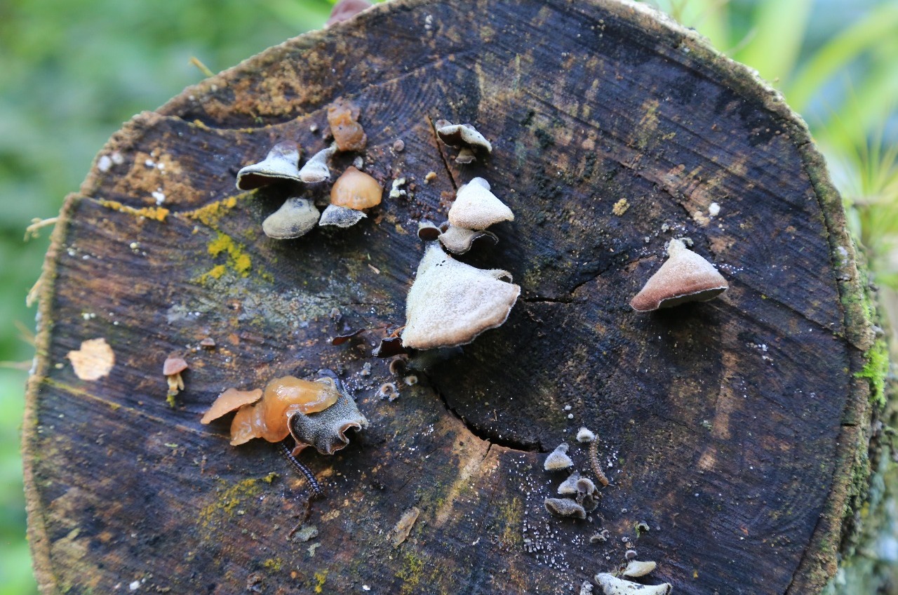
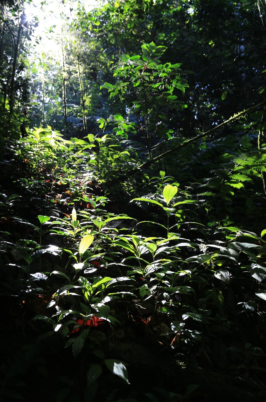
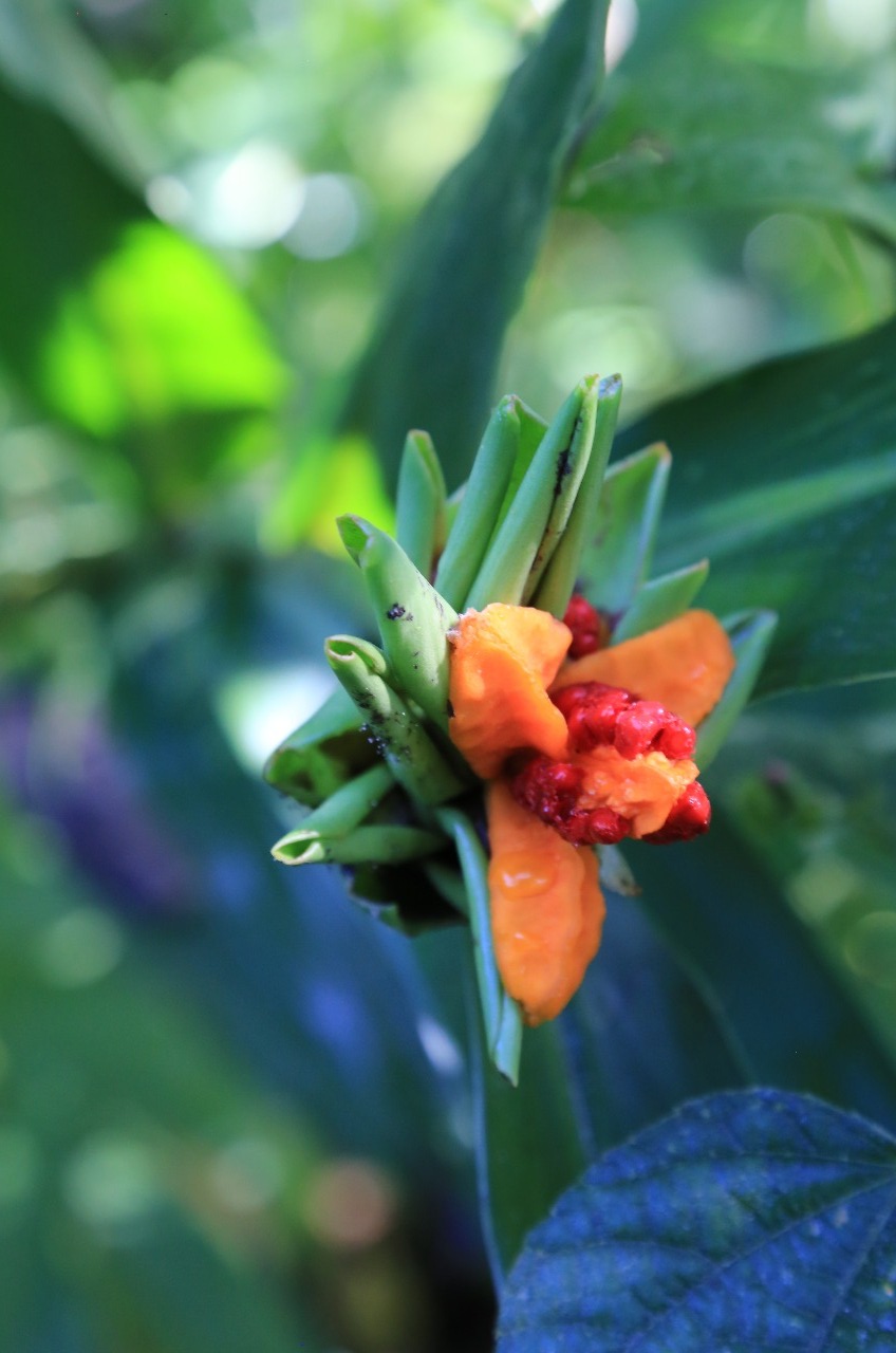
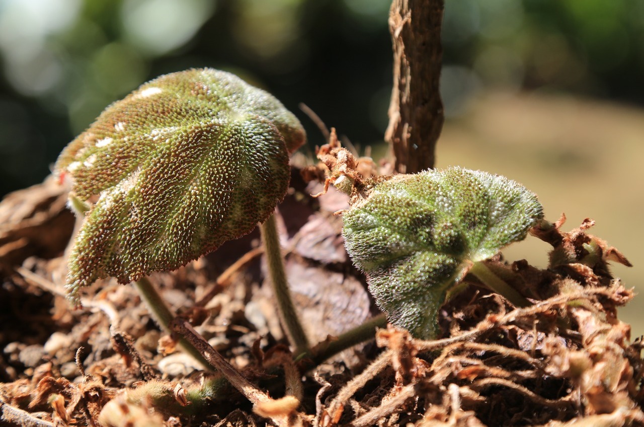
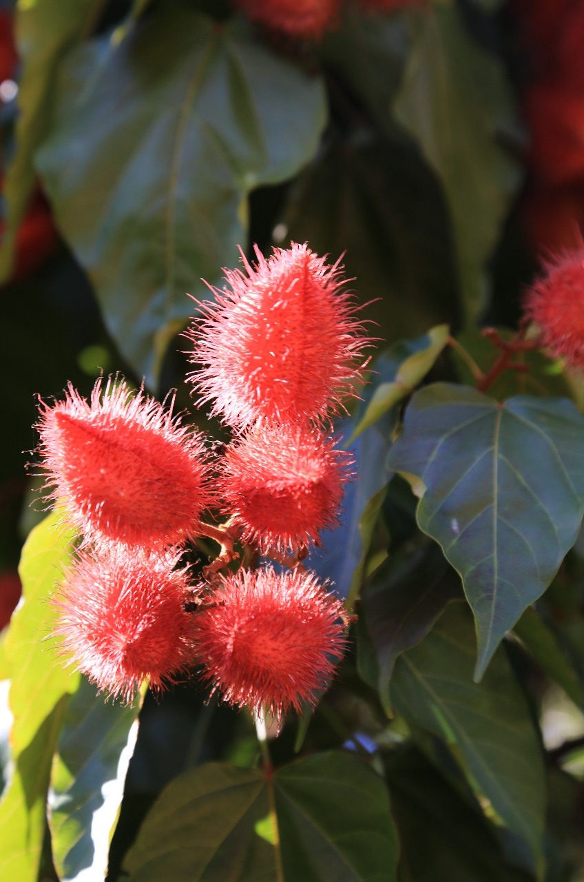
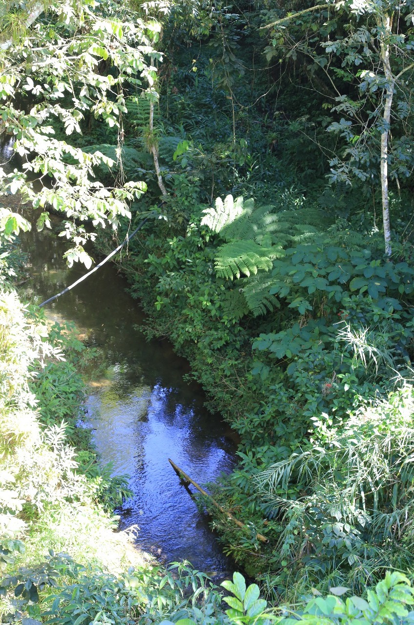
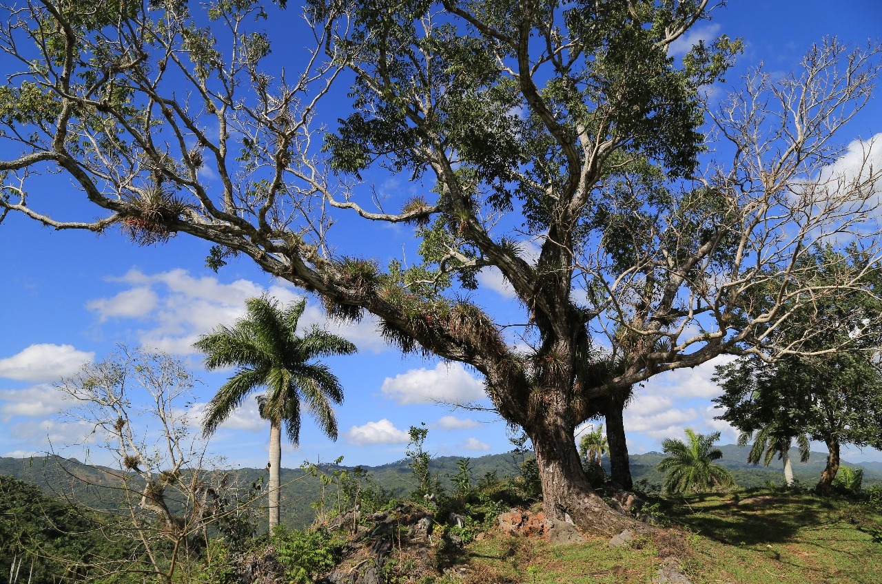
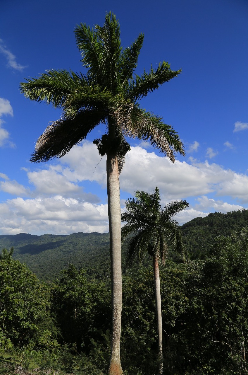
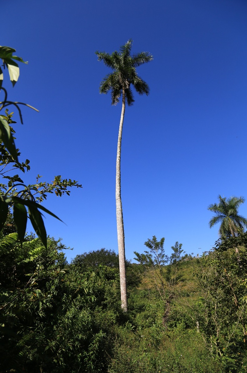
Topes de Collantes has two basic hotels open to foreigners, plus the best network of hiking trails in Cuba. Its jungle-like forests, harboring vines, lichens, mosses, ferns and eye-catching epiphytes, are akin to a giant outdoor biology classroom.
http://www.lonelyplanet.com/cuba/topes-de-collantes#ixzz3x1F5kE1Z
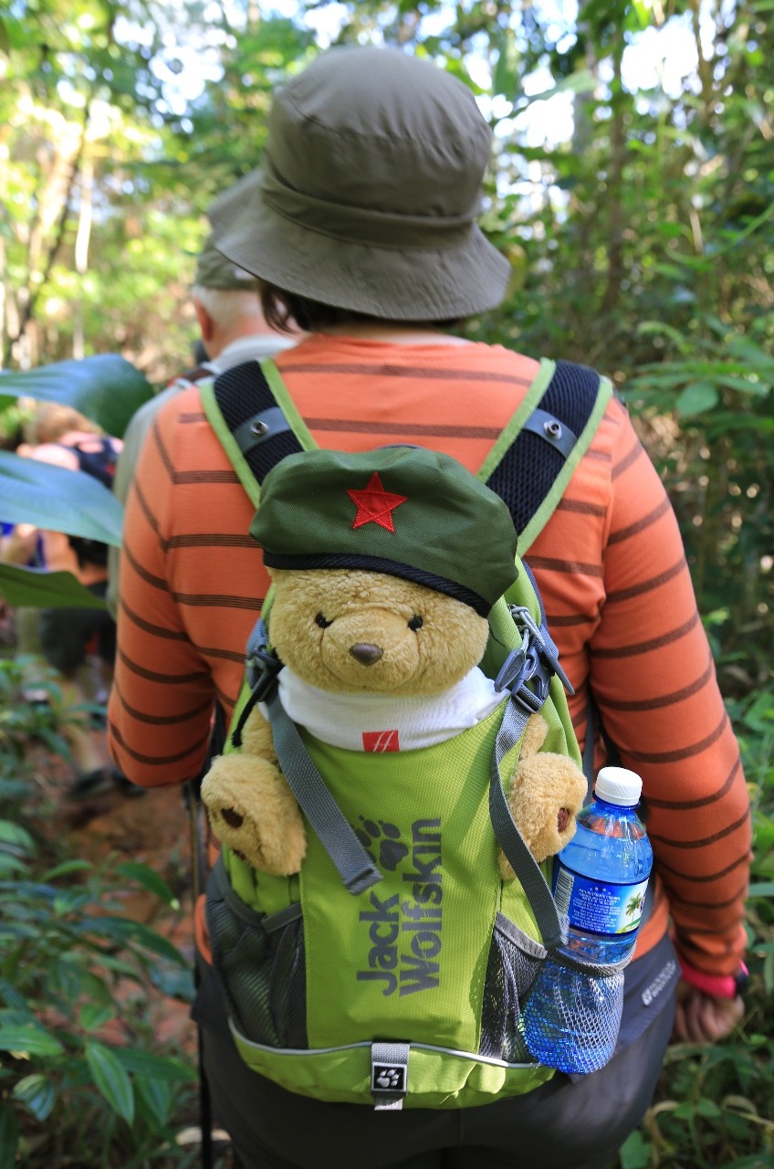
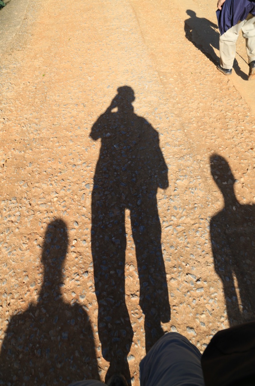
It was like a roller coaster with upraised arms and wind in one hair. Bad hair day for certain.
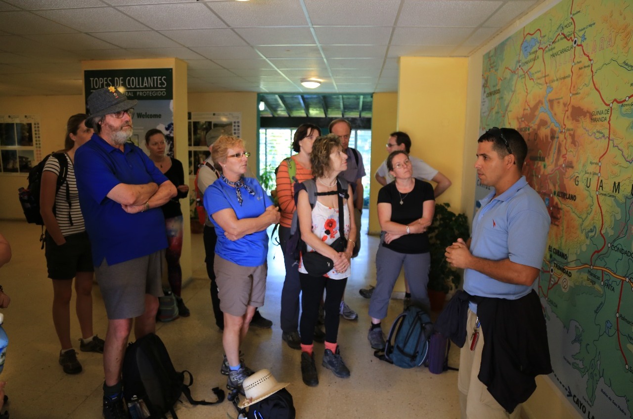
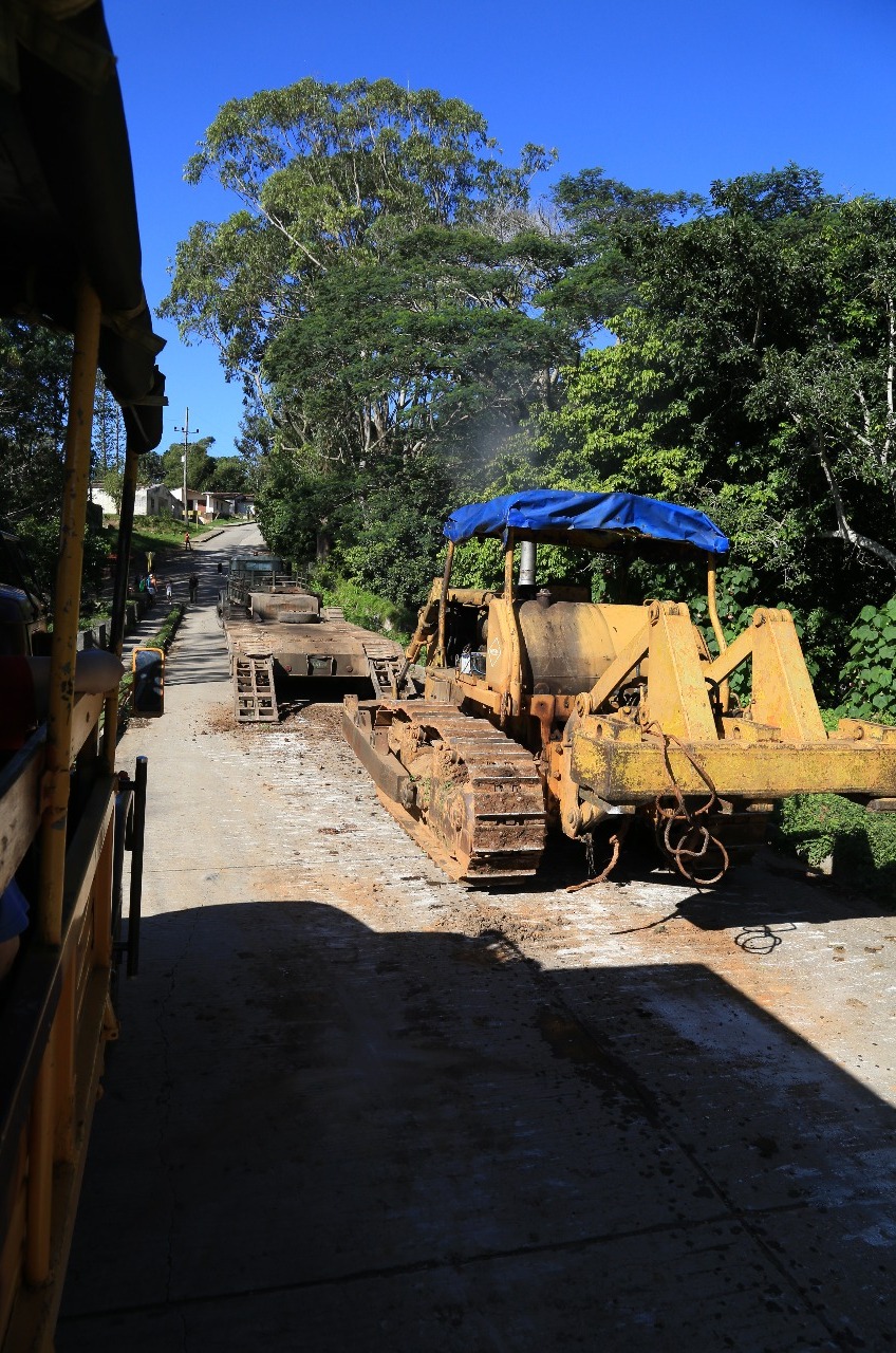
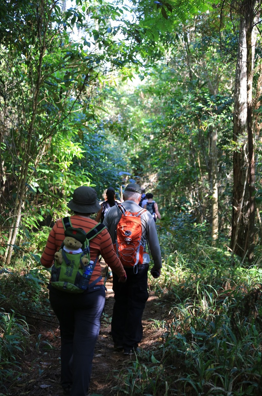
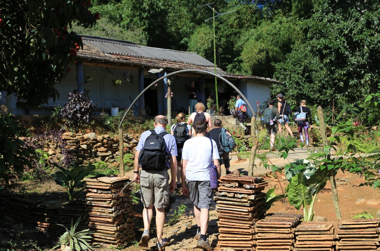
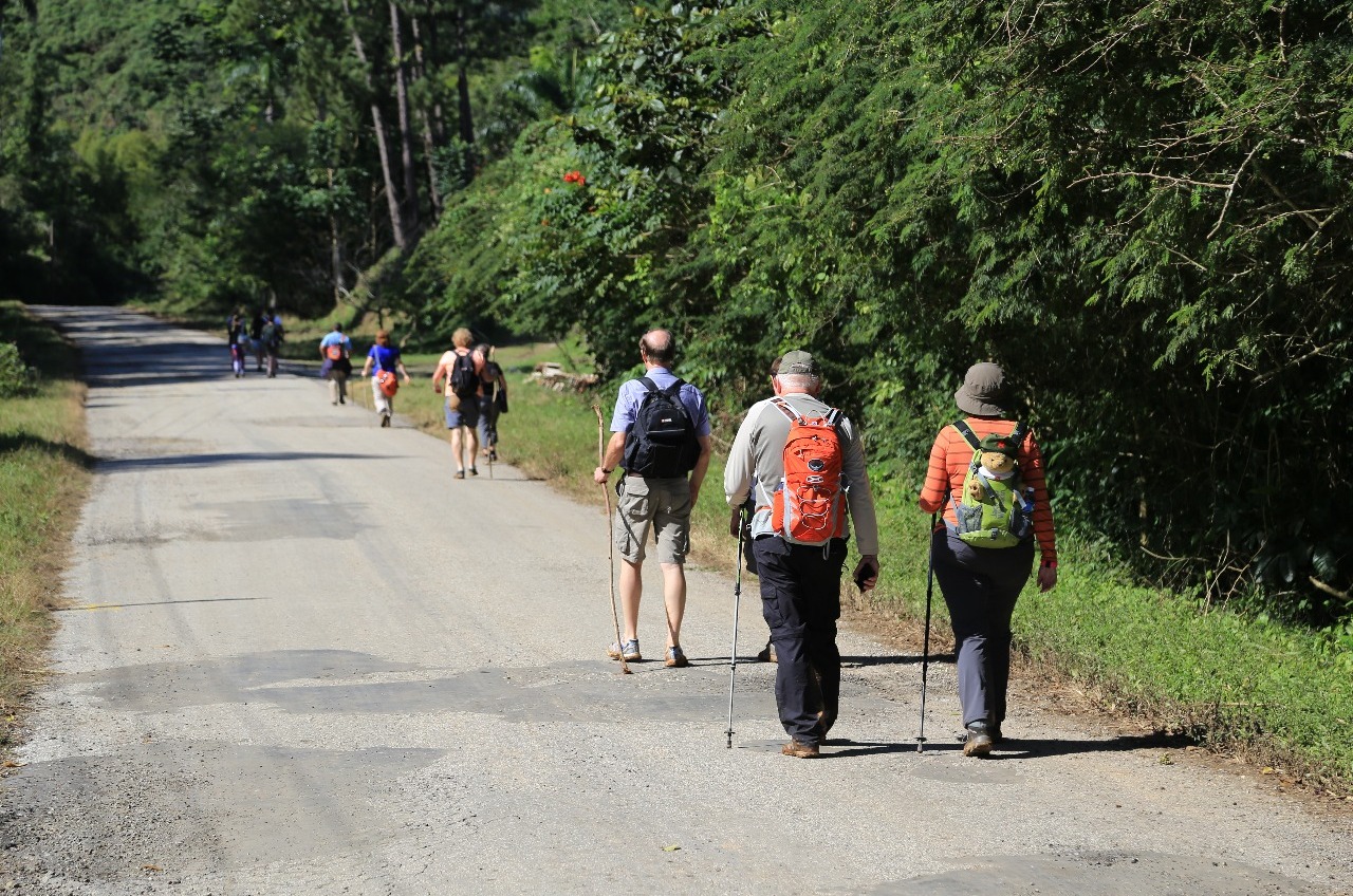
After checking in and a brief introductory talk by our local guide Leo, it was back into the truck for the short transfer to the start of our morning walk.
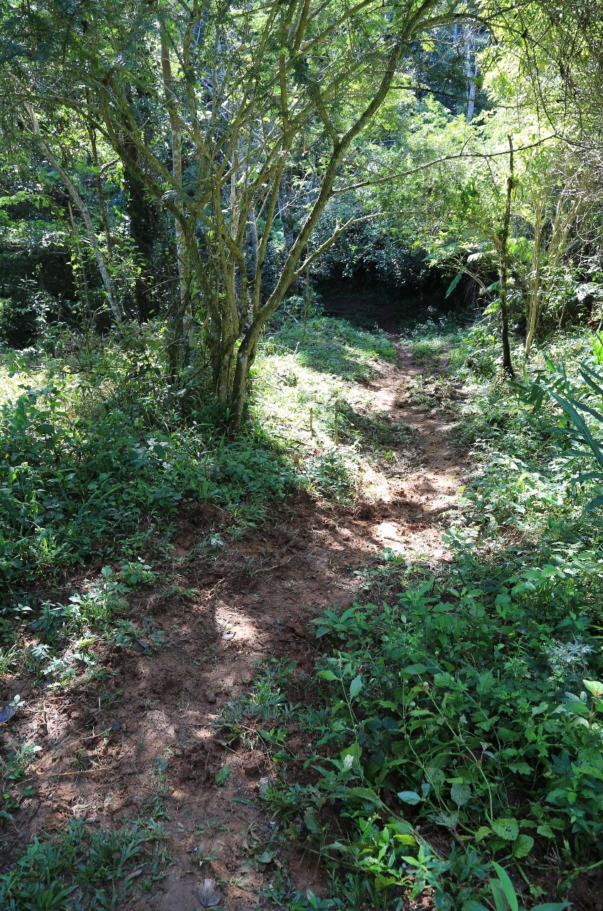
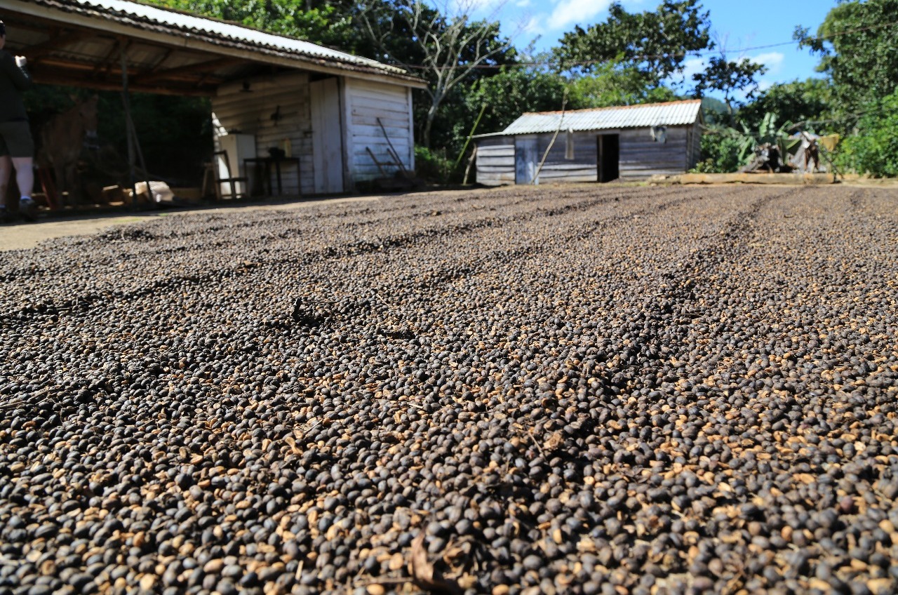
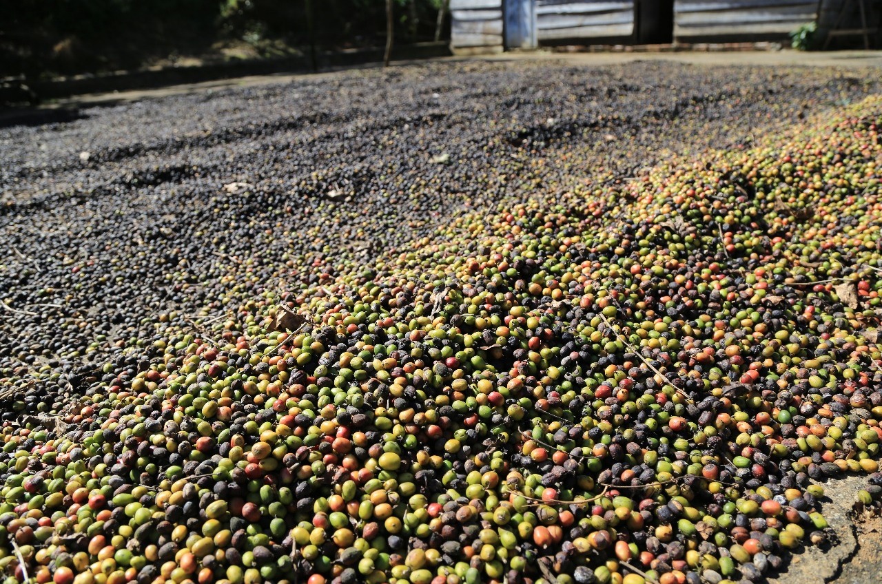
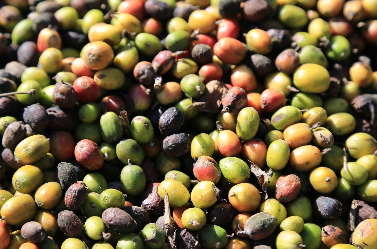
First bit down at times a muddy track after the recent rain. Glad I brought my light weight runners and not relied on my slip on Birkenstock. Then after a while a coffee stop at a local coffee plantation grower's house.
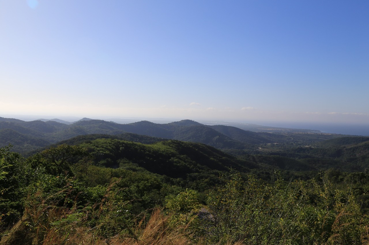
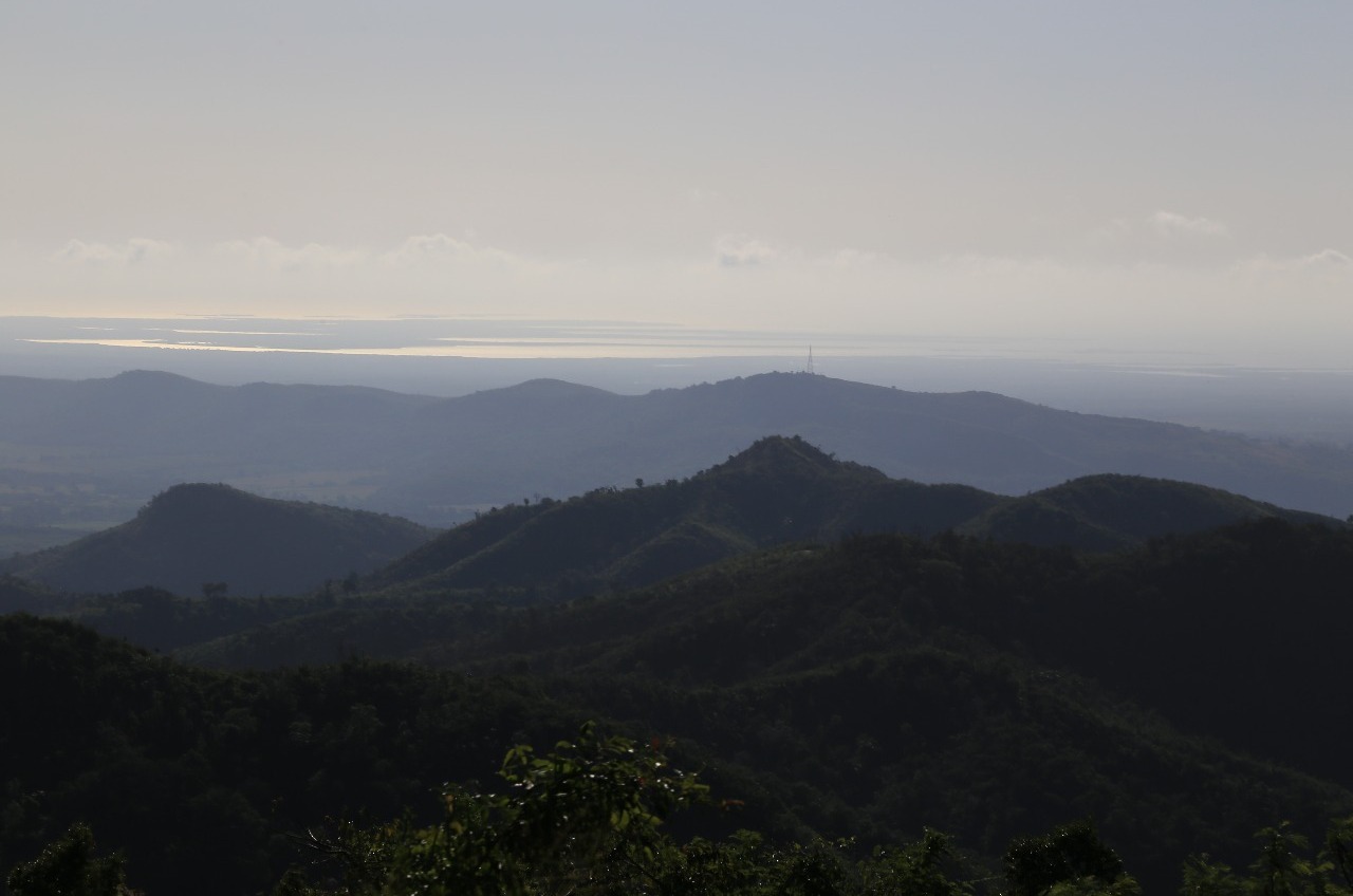
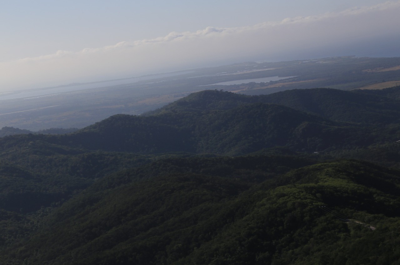
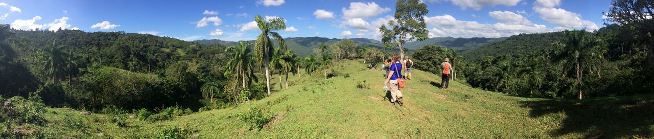
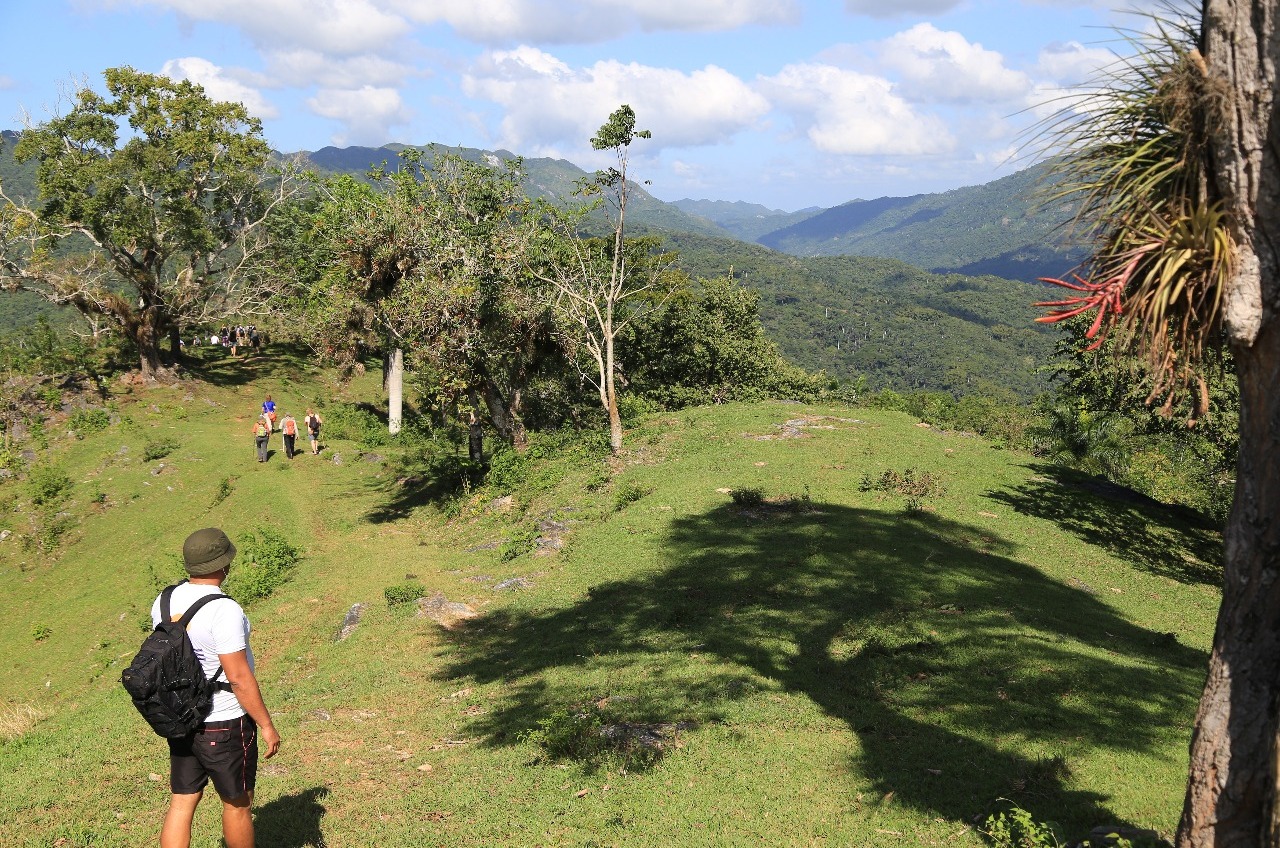
A short bit of road bashing then one 300 metre all uphill climb before coming out onto a point with magnificent views of the surrounding countryside. Yes, it was worthy of a panorama i phone photo going as far as the phone camera would allow me. Must have been 270 degrees.
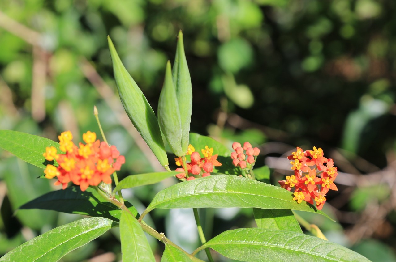
From time to time butterflies fluttered around.
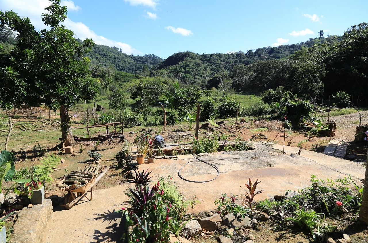
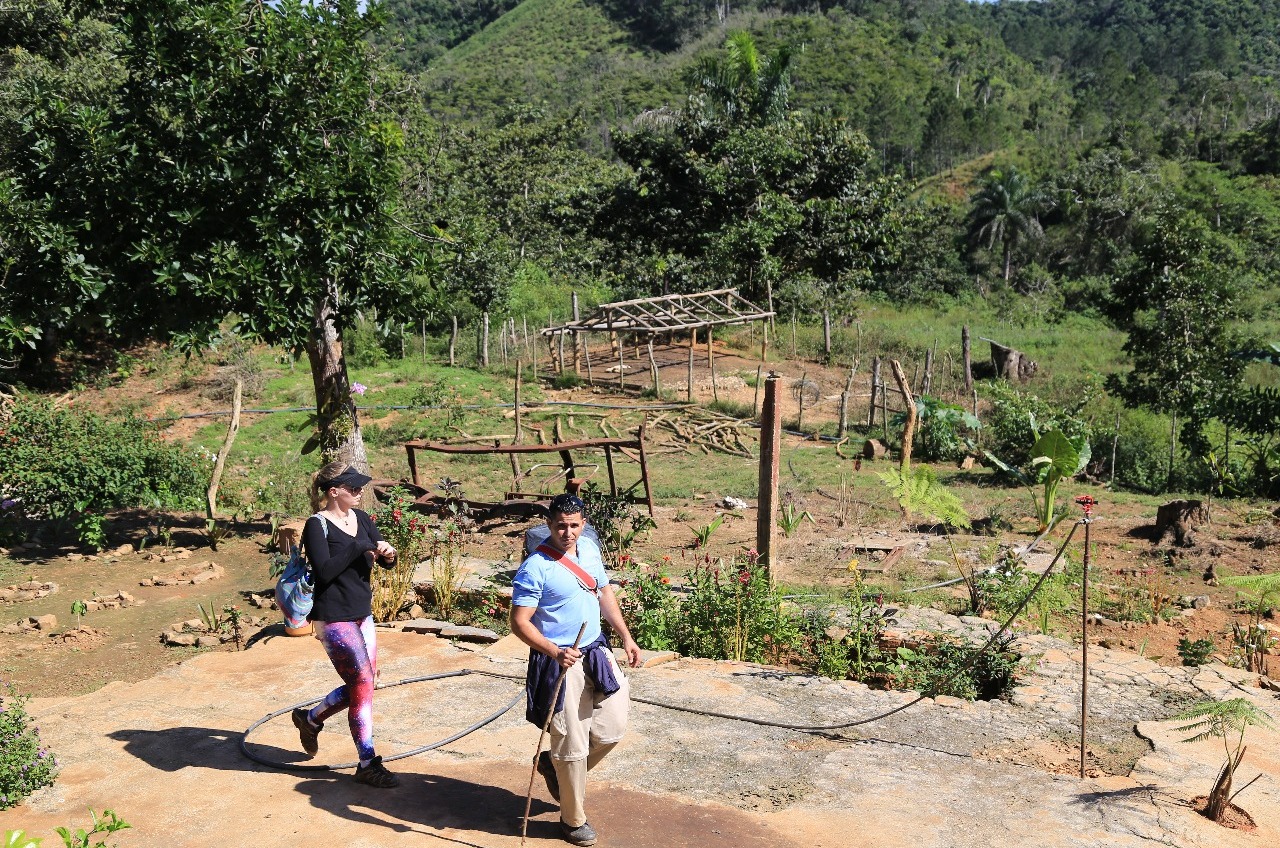
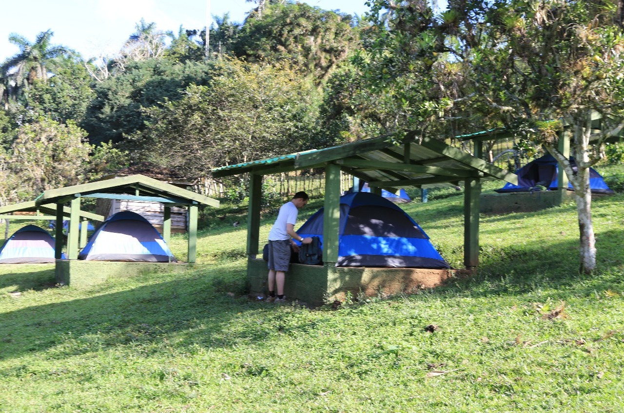
Similar to walking in our local Waitakere Range at home except for the heat. Last bit of not what I know as "asphalt bashing" but this was “concrete bashing” which was unpleasant on the legs as it was all down-hill on the hard concrete road to the Casa la Gallega, our lunch spot and also overnight campsite.
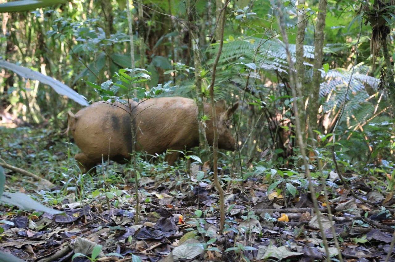
A welcome cocktail drink amongst the turkeys and chickens wandering around the hacienda sometimes being chased by the dogs. The mad rush to get a tent for those who didn't want to sleep on the hacienda or restaurant veranda. My luck ran out as the tent I got had a broken zip so it will be fun tonight with the mosquitos.
Bad Hair Day
Wednesday, December 23, 2015
 Topes de Collantes, Sancti Spíritus, Cuba


Other Entries
-
Dec 221 day prior Trinidad, Cuba
 -
Dec 221 day prior
Trinidad, Cuba -
Dec 23
Topes de Collantes, Cuba -
Dec 23later that day
Topes de Collantes, Cuba -
Dec 241 day later
Topes de Collantes, Cuba -
Dec 241 day later
Topes de Collantes, Cuba -
Dec 241 day later
Topes de Collantes, Cuba -
Dec 252 days later
Trinidad, Cuba -
Dec 252 days later
Iznaga, Cuba -
Dec 252 days later
Sancti Spíritus, Cuba -
Dec 252 days later
Camagüey, Cuba -
Dec 263 days later
Camagüey, Cuba -
Dec 263 days later
Camagüey, Cuba -
Dec 263 days later
Camagüey, Cuba -
Dec 263 days later
Bartolomé Masó, Cuba -
Dec 274 days later
Las Mercedes, Cuba -
Dec 274 days later
Santiago de Cuba, Cuba -
Dec 285 days later
Santiago de Cuba, Cuba -
Dec 285 days later
Santiago de Cuba, Cuba -
Dec 285 days later
Santiago de Cuba, Cuba -
Dec 285 days later
Santiago de Cuba, Cuba

2025-05-22