From Lhasa our route turned to a generally northerly direction across the Tibetan Plateau to Qinghai Province. Tibet historically was substantially larger than what now appears on maps as the Tibetan Autonomous Region and included most of what is now Qinghai province, western Sichuan province, and part of Yunnan and Gansu provinces, areas that still have mostly Tibetan populations (at least outside of cities that have experienced large immigration of Han Chinese).
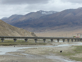
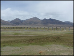
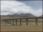
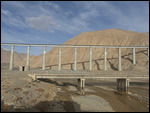
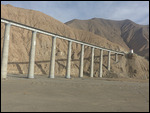
Our route from Lhasa to Golmud crossed some of the higher areas of the plateau reaching over 17,000 feet at the border with Qinghai and paralleled the Lhasa-Qinghai Railway which was completed from Golmud to Lhasa in 2006, much of it elevated or in tunnels to deal with issues of permafrost
.
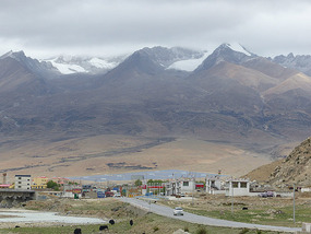
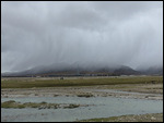
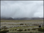
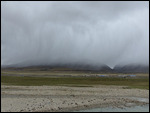
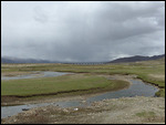
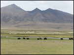
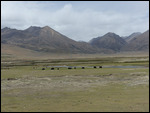
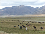
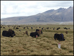
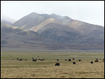
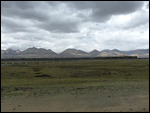
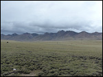
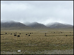
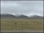
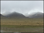
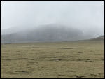
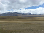
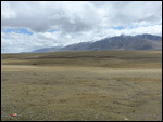
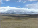
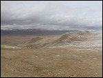
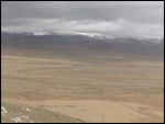
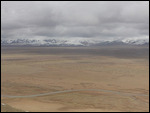
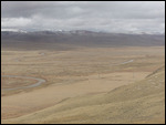
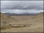
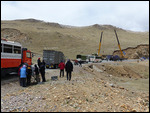
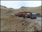
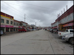
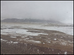
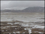
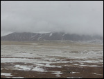
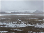
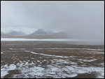
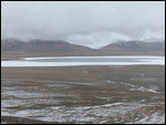
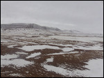
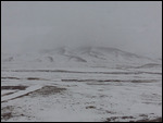
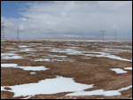
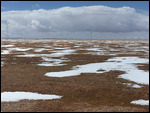
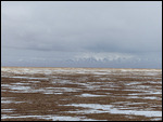
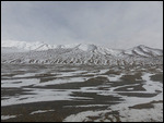
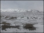
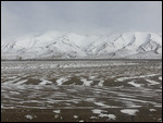
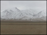
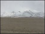
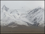
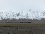
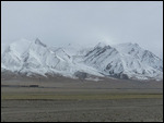
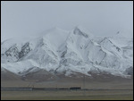
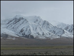
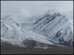
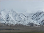
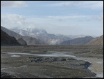
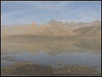
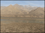
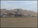
The landscape almost the entire way was bleak and treeless and between 14,000 and 17,000 feet in elevation. Within a few hours of leaving Lhasa skies closed in and occasional light snow followed us. The few towns we passed through had a real frontier feel, some with substantial Tibetan populations, others given over to mining or serving military bases and largely Chinese.
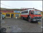
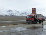
Now this really feels like Overlanding! By that I mean traveling in very remote places that overland trucks like Dragoman's are designed for, travel as a self-sufficient unit without need to purchase food or find lodging along the way, equipped for survival and for the elements rather than just tourism or sightseeing. As the world is getting smaller and more tamed fewer places afford such a feel for frontier travel. Although I was on a Dragoman truck around India that trip involved little camping and was mostly in heavily populated areas where food and other services where available
. Such touring could be done in any type of vehicle.
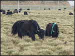
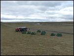
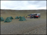
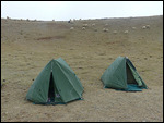
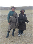
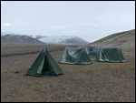
Our first night we camped in a bleak grassy area where we were visited by a few shepherds. The snow started around dinner time and continued off and on through the night. Although the temperature was apparently right around freezing since the snow didn’t accumulate much, it felt bitterly cold. Maybe because I was at high elevation I didn’t drink enough whiskey to keep me warm!
Camping at 15,000 feet isn’t the easiest thing to do since it involves some physical tasks like setting up tables, removing and reinstalling gas cannisters, and jerry cans for water, unloading and loading backpacks from the back locker and tents from the roof of the truck. As the youngest (and tallest) male passenger on this trip I ended up with an inordinate number of such physical chores when camping, even those that weren’t necessarily assigned to me. This is more work than I signed up for!
The next day was also entirely on the road
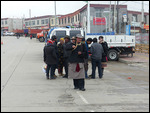
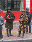
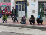
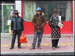
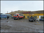
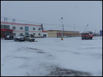
. The northern part of Tibet is known as the Amdo region and used to include most of what’s now in Qinghai. The last town before the passes to Qinghai is also called Amdo and had a bleak, forlorn, frontier feel about it. Tanggula Pass is over 5,200 meters (17,200 feet) but barely seemed like a mountain pass since it’s not much higher than the land around it, mostly representing a watershed divide.
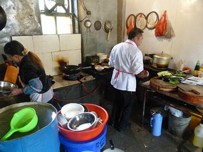
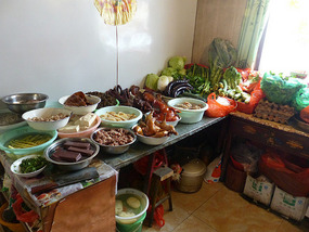
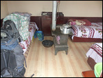
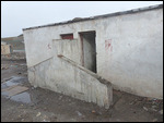
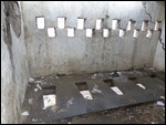
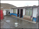
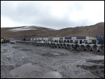
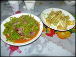
We continued on to Wenquan in Qinghai, a messy, muddy settlement strewn along the road for several miles that vies with a town named Rinconada in Peru to be the world’s highest town at nearly 17,000 feet. Our guide Jason checked out the two guesthouses in town, and we checked into the less decrepit looking of them, decent rooms with coal burning stoves for warmth, a pretty scary looking toilet block, and a restaurant next door. The restaurant was run by Muslim Hui people, so no beer (sad face) but good food.
While we were waiting for dinner dishes to come the local police barged into the restaurant to inform us foreigners are not allowed to stay in Wenchuan
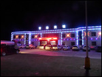
. Why? Maybe it’s a sensitive military area; maybe there’s no accommodation considered high enough quality for foreigners to be allowed to stay in. I do not know. In any event, though, we were forced to check out and pack up again and continue down the road for two hours to the next town (no camping allowed in the region either). The modern hotel was lit outside with multi-colored bright lights that made it look like a brothel, which it may well have been on this road to Tibet used mostly by truckers and the People’s Liberation Army.
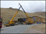
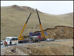
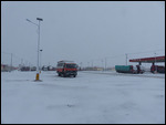
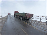
We woke to new snow again on day three out of Lhasa and it was slow going much of the way because of slippery roads and slow-moving military convoys. Multiple long days in the truck can make passengers testy, and some fiction broke out over a late lunch of sandwiches to be made and eaten on the truck as we were moving or stopped in traffic. I almost got into a fight in what became known as "the peanut butter incident" which had to do with whether peanut butter sandwiches should be an option or everyone should eat the cucumber, tomato, and mayonnaise sandwiches the cook group head decided was going to be what was for lunch.
From Kunlunshan Pass in the Kunlun mountain range the road dropped rapidly off the Tibetan Plateau into arid canyons and then into a vast desert basin. We reached Golmud, a mining city with mostly Chinese population, by dusk and stayed at a nice hotel with a restaurant that had some of the best food I had in China. Although Golmud is at 10,000 feet, as high as the highest incorporated town in the U.S., after weeks in Tibet it felt almost like being back down at sea level.
Three Days Crossing the Roof of the World
Wednesday, May 28, 2014
 Amdo, Tibet Autonomous Region, China
Other Entries
-
76Annapurna Trek IV - High Road to Manang
Apr 1543 days prior Manang, Nepalphoto_camera155videocam 0comment 0
 -
77Annapurna Trek V - Acclimatization Around Manang
Apr 1741 days prior Manang, Nepalphoto_camera110videocam 0comment 0
 -
78Annapurna Trek VI - Towards the Thorung La
Apr 1939 days prior Manang, Nepalphoto_camera84videocam 0comment 0
 -
79Annapurna Trek VII - Crossing the Thorung La
Apr 2038 days prior Muktinath, Nepalphoto_camera93videocam 0comment 0
 -
80Annapurna Trek VIII - Upper Kali Gandaki Valley
Apr 2236 days prior Jomsom, Nepalphoto_camera98videocam 0comment 0
 -
81Annapurna Trek IX - Lower Kali Gandaki Valley
Apr 2434 days prior Tatopani, Nepalphoto_camera88videocam 0comment 0
 -
82Annapurna Trek X - Over Poon Hill
Apr 2731 days prior Ghorepani, Nepalphoto_camera59videocam 0comment 0
 -
83Pokhara - Lakeside Trek Recovery
May 0226 days prior Pokhara, Nepalphoto_camera41videocam 0comment 0
 -
84Last Resort - The Journey to Tibet Begins
May 1315 days prior Kodari, Nepalphoto_camera31videocam 0comment 0
 -
85Entering Tibet - Climbing to the Roof of the World
May 1711 days prior Tingri, Chinaphoto_camera67videocam 0comment 0
 -
86Everest Base Camp - Top of the World
May 199 days prior Everest Base Camp, Chinaphoto_camera70videocam 0comment 0
 -
87To Everest Base Camp and Back
May 208 days prior Lhatse, Chinaphoto_camera61videocam 0comment 0
 -
88Shigatse - Monastery of the Panchen Lama
May 226 days prior Shigatse, Chinaphoto_camera120videocam 0comment 0
 -
89Gyangze - Hilltop Fortress and Monasteries
May 235 days prior Gyangze, Chinaphoto_camera62videocam 0comment 0
 -
90The Road to Lhasa
May 244 days prior Lungsang La, Chinaphoto_camera47videocam 0comment 0
 -
91Lhasa - Capital of the Tibetan World
May 253 days prior Lhasa, Chinaphoto_camera128videocam 0comment 0
 -
92Lhasa Environs - Drepung and Sera Monasteries
May 262 days prior Lhasa, Chinaphoto_camera78videocam 0comment 0
 -
93Three Days Crossing the Roof of the World
May 28 Amdo, Chinaphoto_camera90videocam 0comment 0
 -
94Crossing Qinghai - The High Road to China
May 313 days later Qinghai Hu, Chinaphoto_camera68videocam 0comment 0
 -
95Lanzhou - Gigantic Capital of Gansu Province
Jun 025 days later Lanzhou, Chinaphoto_camera75videocam 0comment 0
 -
96Xiahe - Home of the Tibetan Labrang Monastery
Jun 047 days later Xiahe, Chinaphoto_camera82videocam 0comment 0
 -
97Bingling Si - Ancient Buddhist Cave Art
Jun 069 days later Liujiaxia, Chinaphoto_camera35videocam 0comment 0
 -
98The Road to Xian
Jun 0710 days later Pingliang, Chinaphoto_camera37videocam 0comment 0
 -
99Xian - Terracotta Warrior Army
Jun 0912 days later Lantian County, Chinaphoto_camera72videocam 0comment 0
 -
100Xian - Modern Day Chang'An
Jun 1013 days later Xi'an, Chinaphoto_camera108videocam 0comment 0

 Amdo, Tibet Autonomous Region, China


2025-05-22