Annapurna Trek X - Over Poon Hill
Sunday, April 27, 2014
 Ghorepani, Western Region, Nepal
It is a definite option to just take a Jeep or bus out from
Tatopani to Pokhara . Being a purist, however, I decided to continue onwards on
foot to complete the Annapurna Circuit. If done in full the last part involves
a massive ascent and then descent over two to three days via Ghorepani and Poon
Hill.
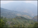
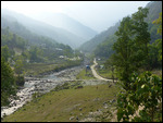
I started hiking at dawn to get as far as possible before
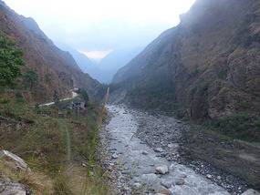
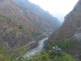
things warmed up. After crossing the river on a suspension bridge the trail
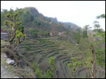
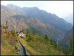
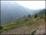
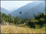
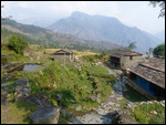
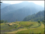
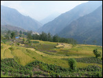
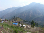
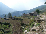
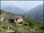
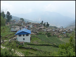
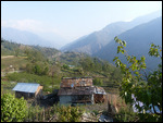
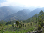
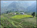
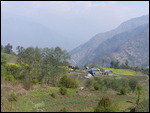
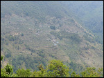
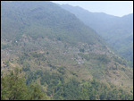
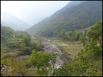
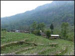
climbed steeply out of the valley up about 600 stone steps. From there it was mostly
through terraced fields and villages named Ghara and Shikha populated mostly by
the Magar ethnic group. I stopped for lunch just past Shikha at the Serendipity
Inn and decided to call it a day as the afternoon storms began. I had done
about half of the 6,000 foot climb to Ghorepani, plenty for me for a day,
especially in the warm humid conditions that prevail south of the main
Annapurna range.
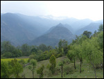
It was another half day for me to Upper Ghorepani on the top
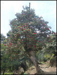
of the ridge at 2,800 meters (more than 9,000 feet), some stretches of which
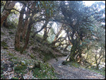
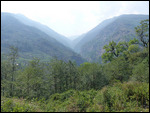
were through flowering rhododendron forest . I’m used to rhododendrons as
ornamental shrubs but in the Himalayan foothills rhododendrons are quite large
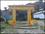
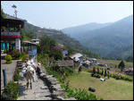
trees. Ghorepani must be the meanest place in the world – the “Welcome to
Ghorepani” sign over the trail was a grueling 400-plus steps before you
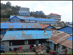
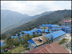
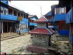
actually got to the village. I spent the afternoon around the village as the
afternoon storms started up again.
Ghorepani is popular as part of shorter four-day or longer
treks done out of the Pokhara area as well as being on the Annapurna Circuit
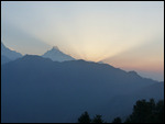
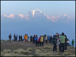
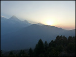
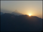
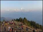
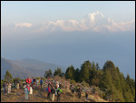
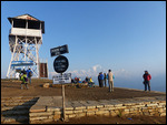
trail, so it’s a very busy place. The big draw is sunrise on Poon Hill (3,210
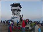
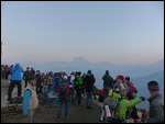
meters), a short 1,000 foot climb out of town. I got up at 4:30 A.M. for the
crowded pilgrimage to the top of the hill with probably at least 500 of my
closest friends for a busy circus scene. As soon as the sun came up most
scampered quickly back down? I don’t get it – the light keeps getting better
for pictures for quite a while after sunrise as the sunshine illuminates the
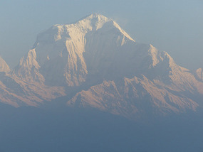
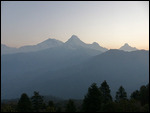
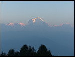
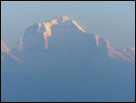
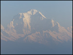
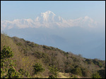
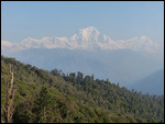
peaks. From Poon Hill the sunrise views of the Dhaulagiri Massif to the
northwest are significantly nicer than those of the closer Annapurnas .
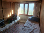
I went back to my guest house to shower and have breakfast
and then began the monster 2,000 meter (6,600 feet) descent to the end of the
trek at Naya Pul. The trail was very steep for many stretches with 3,000
(according to a guidebook) stone steps between the villages of Ulleri and Tikhedhunga.
It was warm, hazy, and humid, and absolutely miserable as I descended. “It’s almost
over!” I kept telling myself, especially over the last miles on the switchbacks
of a dirt road.
Around 5:00 in the afternoon as I started hearing a few
rumbles of thunder a taxi driver started pestering me to give me a ride to Naya
Pul. With each 100 meters I walked his price dropped until it sounded like a
reasonable deal (500 rupees or about $5). Quite a smart move since the last
stretch past Birethanti to Naya Pul was an ugly muddly construction site
between run-down commercial towns accessible by car. I expected to spend the
night at Naya Pul and take the public bus the next morning to Pokhara . It didn’t
take much arm twisting by the taxi driver for me to agree to a ride all the way
to Pokhara for $20.
Finished! Success! I made it! Although I cut it short by a
few miles at each end, I believe in total I went about 240 kms or 150 miles.
Other Entries
-
65Sigiriya - Sri Lanka's Rock Top Fortress
Mar 2137 days prior Sigiriya, Sri Lankaphoto_camera25videocam 0comment 0
 -
66Kandy - Sri Lankan Cultural Capital
Mar 2236 days prior Kandy, Sri Lankaphoto_camera74videocam 0comment 0
 -
67Adams Peak - Where Adam Landed on Earth
Mar 2434 days prior Hatton, Sri Lankaphoto_camera33videocam 0comment 0
 -
68Sri Lanka Central Highlands - Tea Country
Mar 2533 days prior Bandarawela, Sri Lankaphoto_camera64videocam 0comment 0
 -
69Sri Lanka's South Coast - Colonial Galle & Beaches
Mar 2731 days prior Galle, Sri Lankaphoto_camera57videocam 0comment 0
 -
70Colombo - Sri Lanka's Capital
Mar 2929 days prior Colombo, Sri Lankaphoto_camera36videocam 0comment 0
 -
71Male - Tiny Capital of the Maldives
Mar 3028 days prior Male, Maldivesphoto_camera62videocam 0comment 0
 -
72Maldives - Crusing Through Paradise on a Dhoni
Apr 0522 days prior Felidhoo, Maldivesphoto_camera99videocam 0comment 0
 -
73Annapurna Trek I - Lower Marshyangdi River Valley
Apr 1116 days prior Bahundanda, Nepalphoto_camera86videocam 0comment 0
 -
74Annapurna Trek II - Long Day to Chame
Apr 1314 days prior Chame , Nepalphoto_camera43videocam 0comment 0
 -
75Annapurna Trek III - Medieval Upper Pisang
Apr 1413 days prior Upper Pisang, Nepalphoto_camera102videocam 0comment 0
 -
76Annapurna Trek IV - High Road to Manang
Apr 1512 days prior Manang, Nepalphoto_camera155videocam 0comment 0
 -
77Annapurna Trek V - Acclimatization Around Manang
Apr 1710 days prior Manang, Nepalphoto_camera110videocam 0comment 0
 -
78Annapurna Trek VI - Towards the Thorung La
Apr 198 days prior Manang, Nepalphoto_camera84videocam 0comment 0
 -
79Annapurna Trek VII - Crossing the Thorung La
Apr 207 days prior Muktinath, Nepalphoto_camera93videocam 0comment 0
 -
80Annapurna Trek VIII - Upper Kali Gandaki Valley
Apr 225 days prior Jomsom, Nepalphoto_camera98videocam 0comment 0
 -
81Annapurna Trek IX - Lower Kali Gandaki Valley
Apr 243 days prior Tatopani, Nepalphoto_camera88videocam 0comment 0
 -
82Annapurna Trek X - Over Poon Hill
Apr 27 Ghorepani, Nepalphoto_camera59videocam 0comment 0
 -
83Pokhara - Lakeside Trek Recovery
May 025 days later Pokhara, Nepalphoto_camera41videocam 0comment 0
 -
84Last Resort - The Journey to Tibet Begins
May 1316 days later Kodari, Nepalphoto_camera31videocam 0comment 0
 -
85Entering Tibet - Climbing to the Roof of the World
May 1720 days later Tingri, Chinaphoto_camera67videocam 0comment 0
 -
86Everest Base Camp - Top of the World
May 1922 days later Everest Base Camp, Chinaphoto_camera70videocam 0comment 0
 -
87To Everest Base Camp and Back
May 2023 days later Lhatse, Chinaphoto_camera61videocam 0comment 0
 -
88Shigatse - Monastery of the Panchen Lama
May 2225 days later Shigatse, Chinaphoto_camera120videocam 0comment 0
 -
89Gyangze - Hilltop Fortress and Monasteries
May 2326 days later Gyangze, Chinaphoto_camera62videocam 0comment 0
 -
90The Road to Lhasa
May 2427 days later Lungsang La, Chinaphoto_camera47videocam 0comment 0
 -
91Lhasa - Capital of the Tibetan World
May 2528 days later Lhasa, Chinaphoto_camera128videocam 0comment 0
 -
92Lhasa Environs - Drepung and Sera Monasteries
May 2629 days later Lhasa, Chinaphoto_camera78videocam 0comment 0
 -
93Three Days Crossing the Roof of the World
May 2831 days later Amdo, Chinaphoto_camera90videocam 0comment 0
 -
94Crossing Qinghai - The High Road to China
May 3134 days later Qinghai Hu, Chinaphoto_camera68videocam 0comment 0
 -
95Lanzhou - Gigantic Capital of Gansu Province
Jun 0236 days later Lanzhou, Chinaphoto_camera75videocam 0comment 0
 -
96Xiahe - Home of the Tibetan Labrang Monastery
Jun 0438 days later Xiahe, Chinaphoto_camera82videocam 0comment 0
 -
97Bingling Si - Ancient Buddhist Cave Art
Jun 0640 days later Liujiaxia, Chinaphoto_camera35videocam 0comment 0
 -
98The Road to Xian
Jun 0741 days later Pingliang, Chinaphoto_camera37videocam 0comment 0
 -
99Xian - Terracotta Warrior Army
Jun 0943 days later Lantian County, Chinaphoto_camera72videocam 0comment 0
 -
100Xian - Modern Day Chang'An
Jun 1044 days later Xi'an, Chinaphoto_camera108videocam 0comment 0

 Ghorepani, Western Region, Nepal


2025-05-22