 Jomsom, Western Region, Nepal
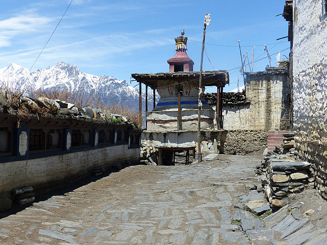
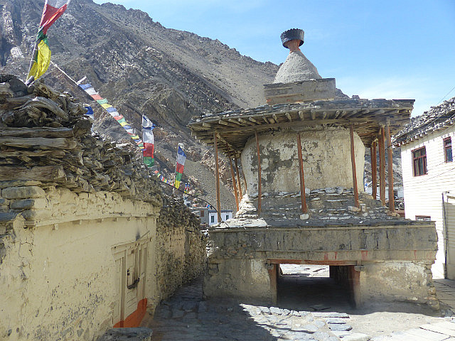
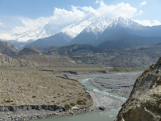
The Annapurna Circuit Trek on the west side of the Thorung La passes through a region known as Mustang, populated by a ethnic group known as Thakalis whose ancestors came from Tibet. Mustang was once a kingdom/nation separate from Nepal. The Annapurna Circuit goes through Lower Mustang; Upper Mustang, the region north of Kagbeni to Lo Monthang and the Chinese border was completely off limits to foreigners until the early 1990s and still requires a
$500 permit and guided expedition to visit
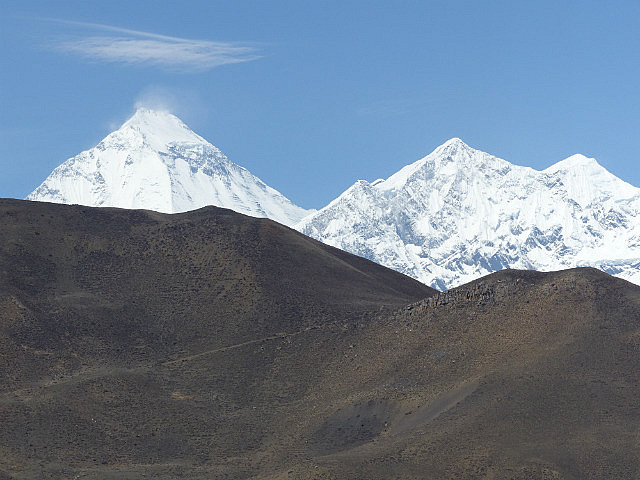
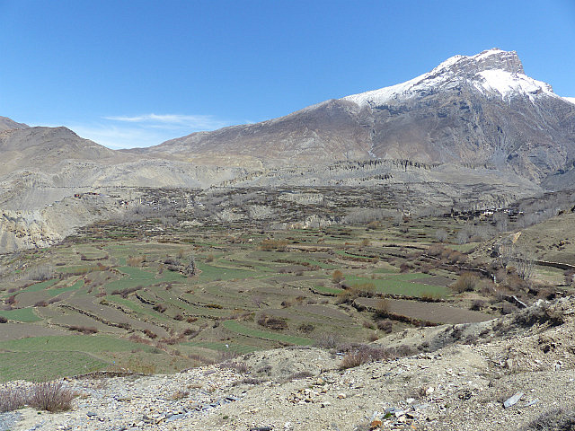
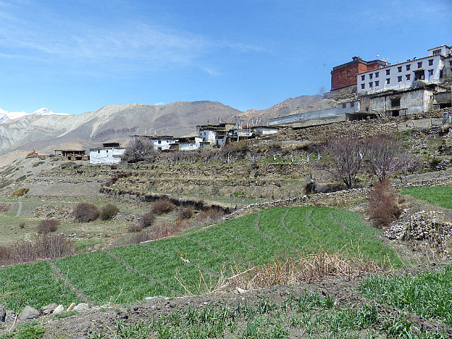
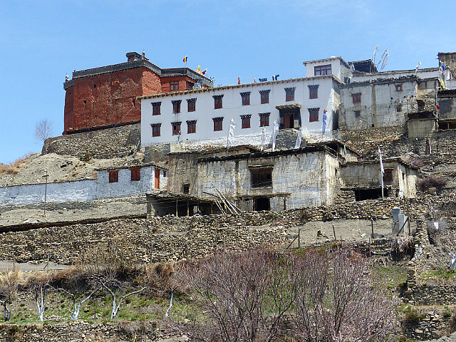
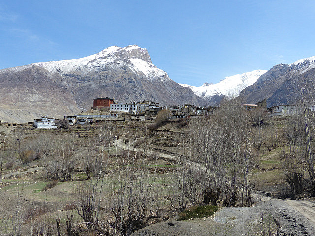
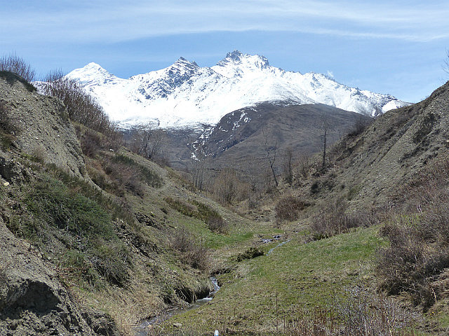
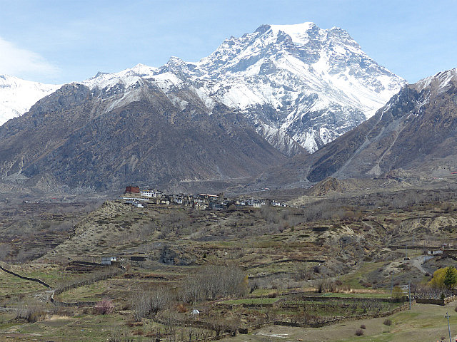
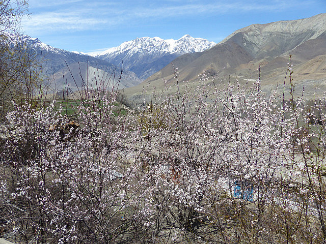
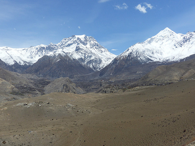
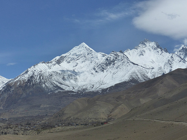
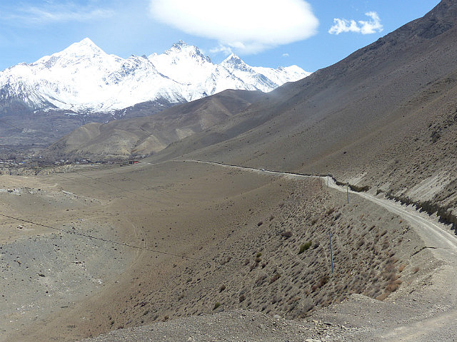
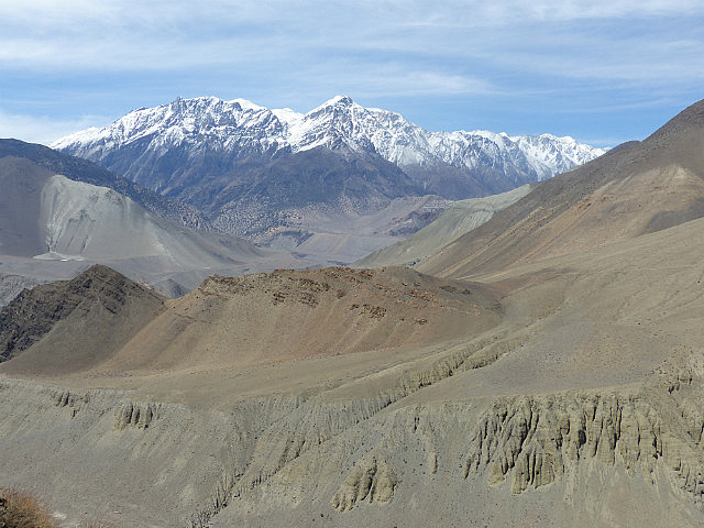
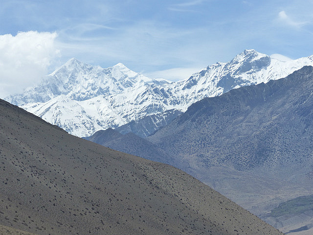
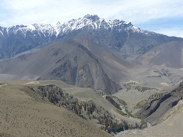
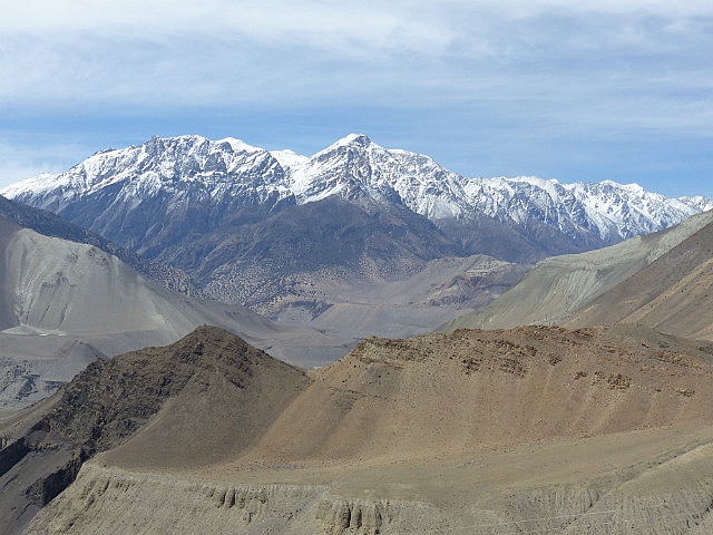
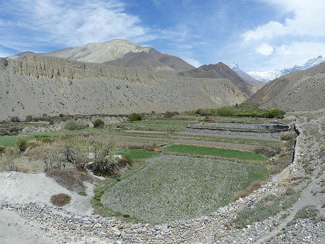
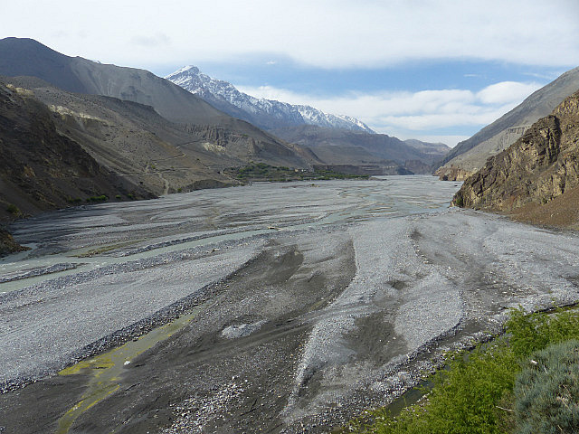
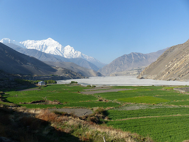
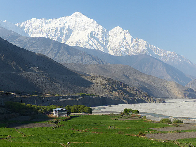
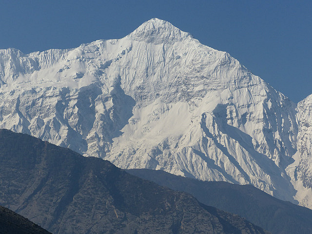
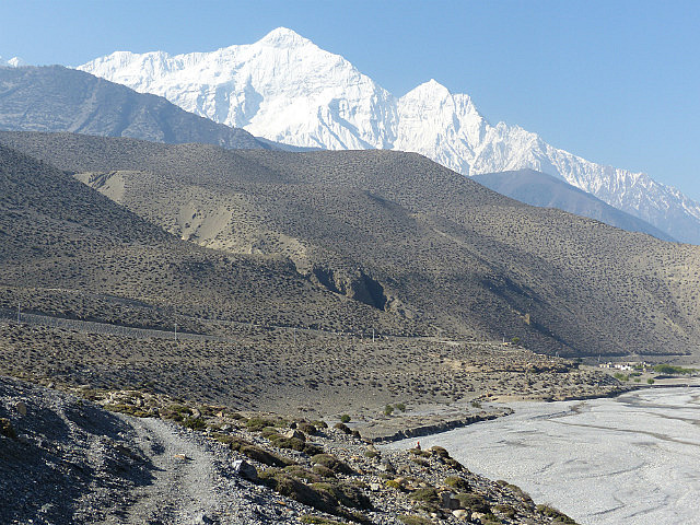
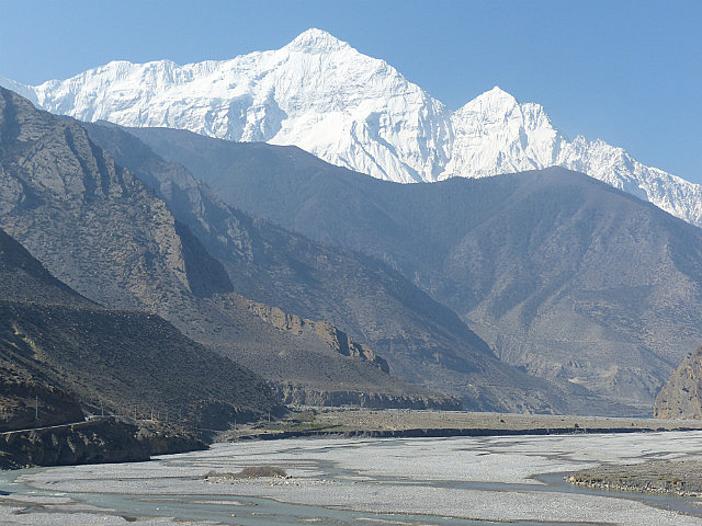
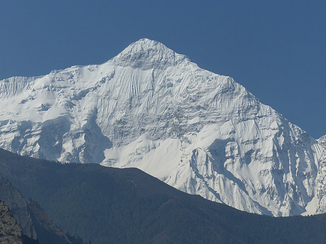
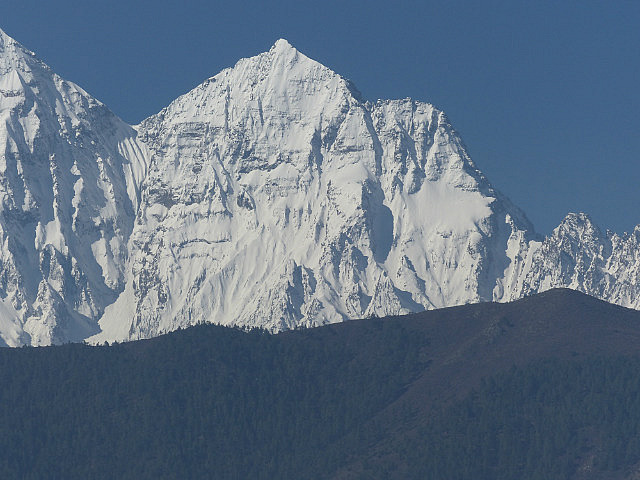
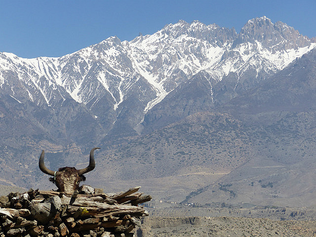
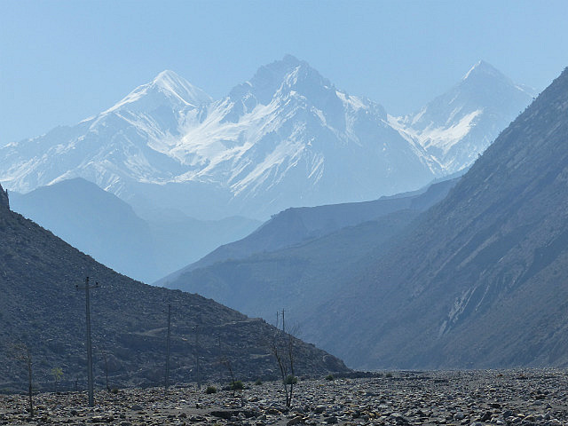
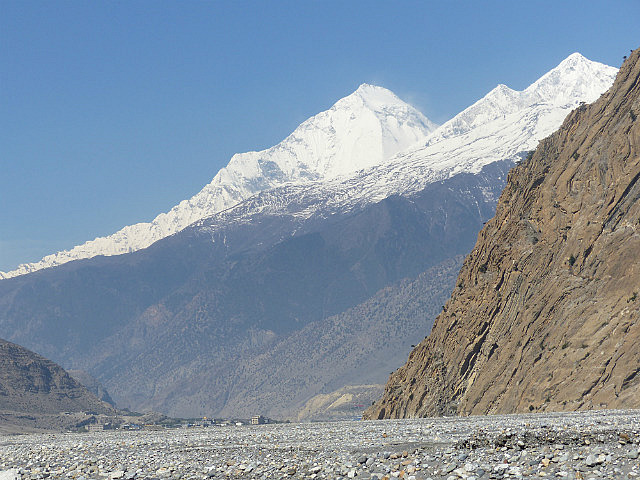
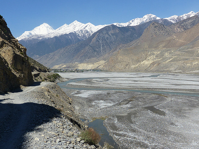
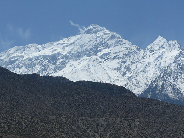
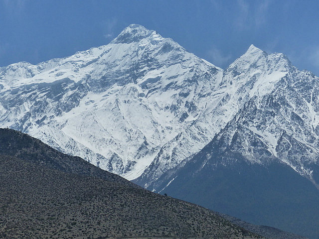
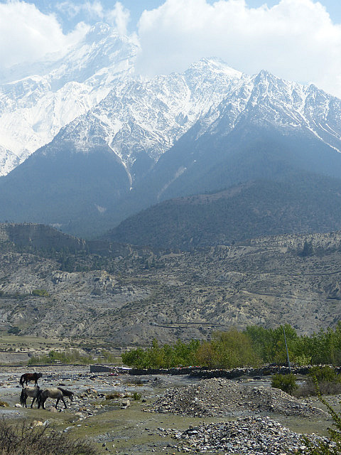
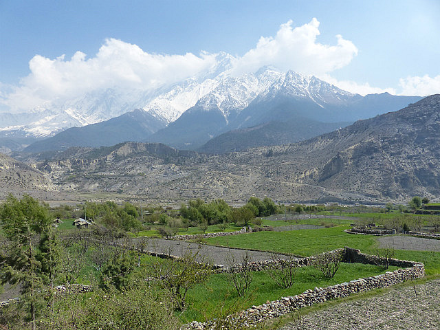
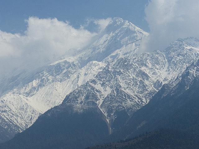
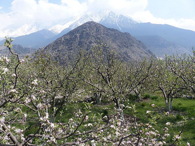
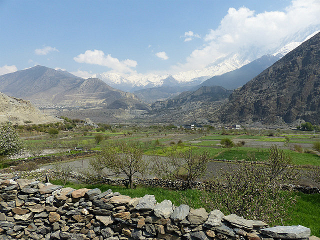
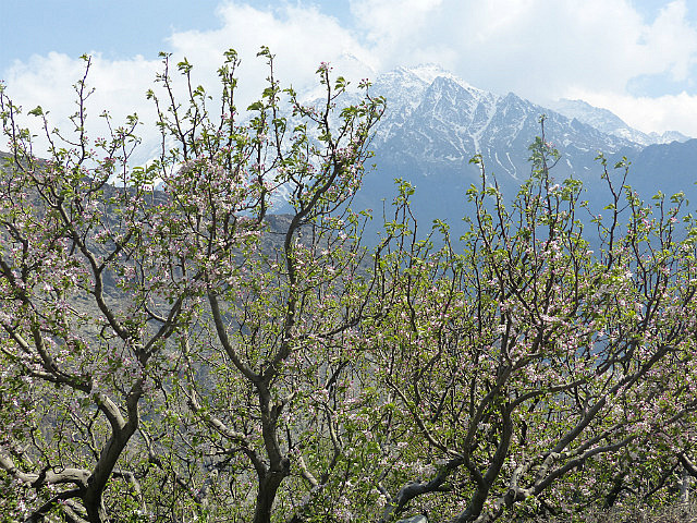
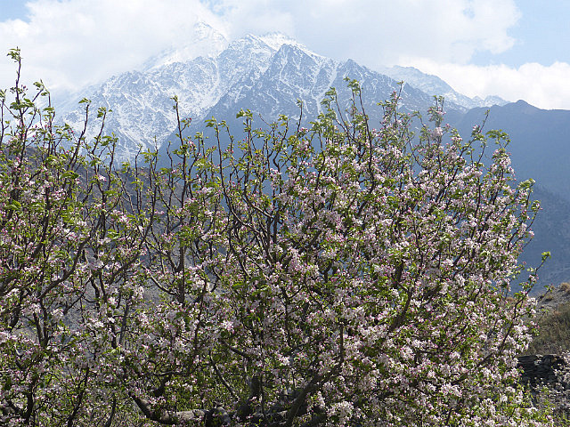
. Mustang is thoroughly in the rain shadow of the Annapurna and Dhaulagiri massifs of the main Himalaya range, so is very arid in the valleys despite the brilliant glacier-covered peaks all around.I had a relaxed morning and late start out of Muktinath, a
town near the top of a side valley from the Kali Gandaki at the base of the
trail down from the pass that has a Hindu temple full of ascetic holy men that’s
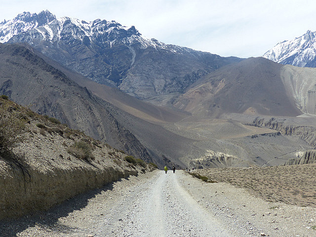
a significant pilgrimage site. The way down the valley was mostly along a dusty
road traveled by numerous Jeeps carrying Indian pilgrims with some steep trails
avoiding the road’s switchbacks as it dropped into Kagbeni. Yes, Jeeps – there’s
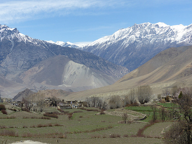
now an unpaved road all the way up the Kali Gandaki Valley to Muktinath. The
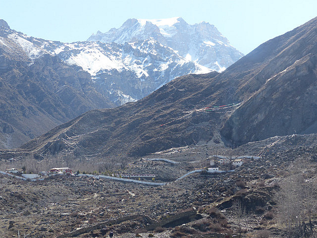
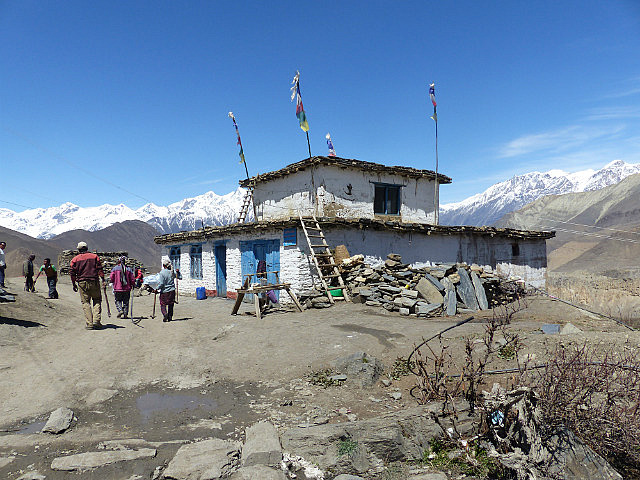
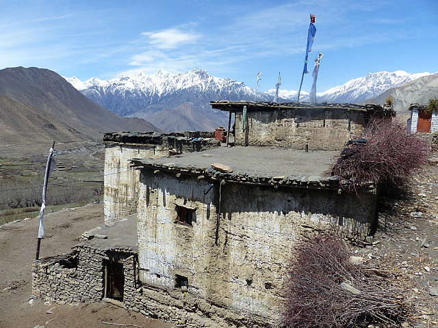
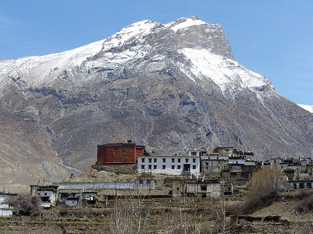
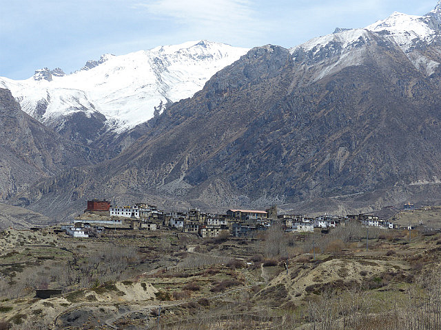
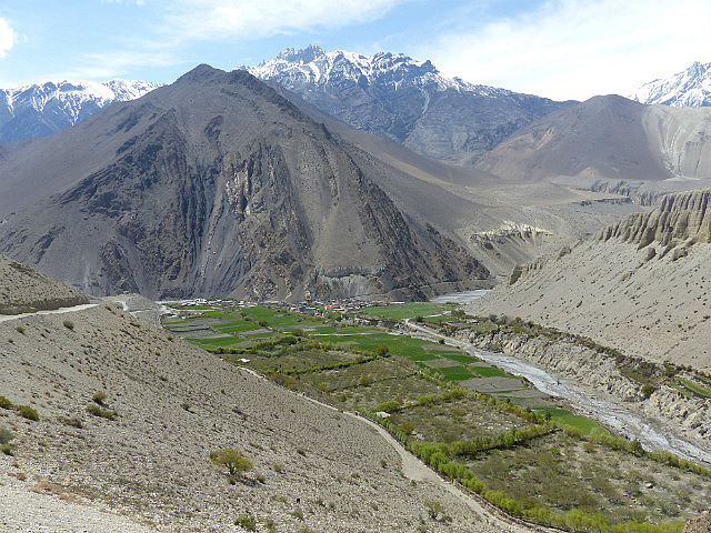
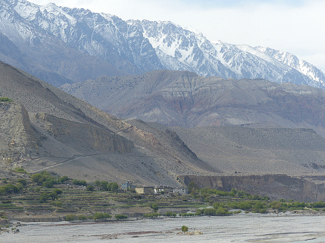
villages along the way – Jharkot and Khingsar – seemed fairly empty. I found a
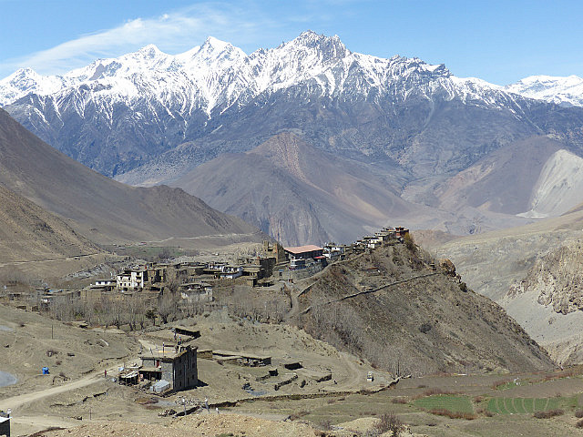
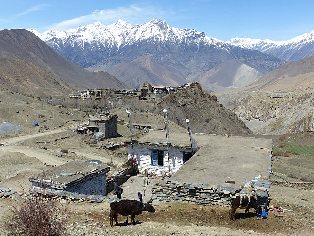
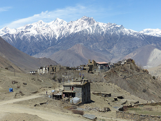
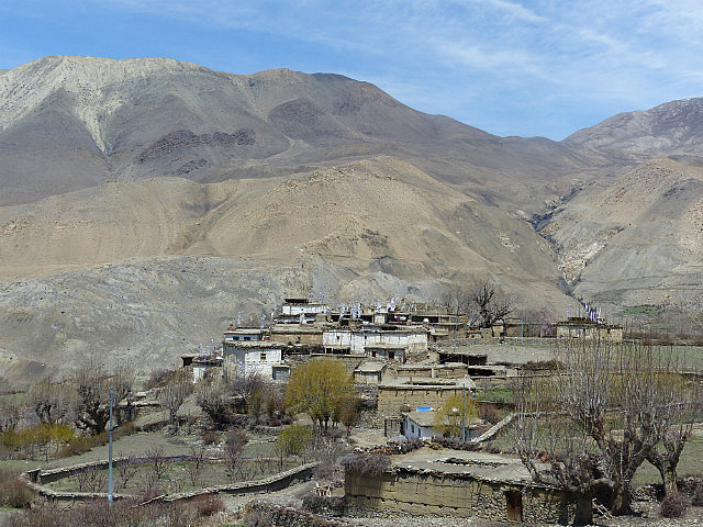
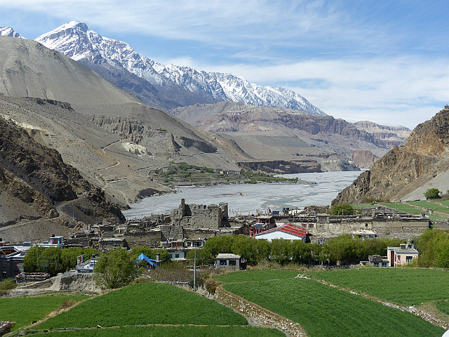
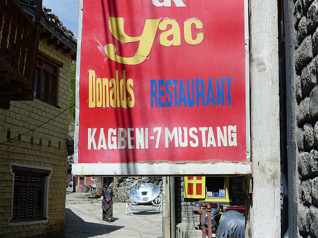
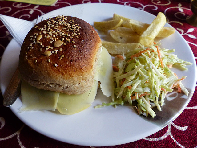
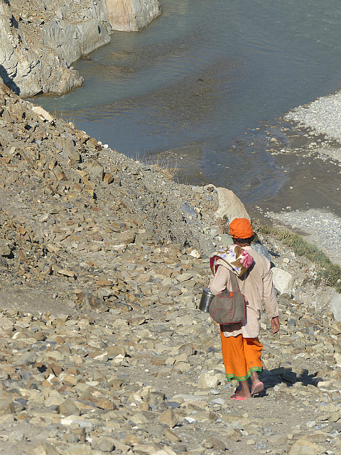
nice $2/night guesthouse with private bath in Kagbeni, had a yak burger for lunch
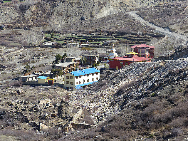
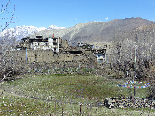
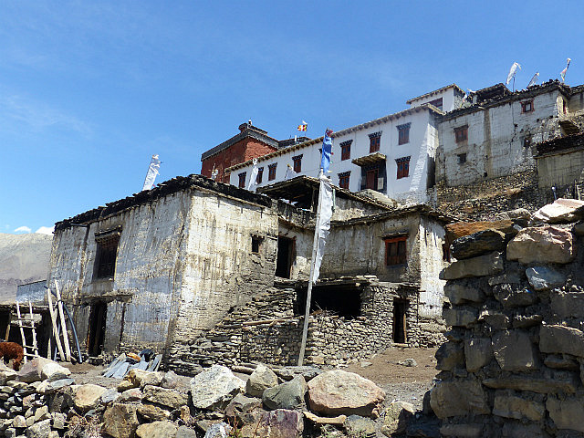
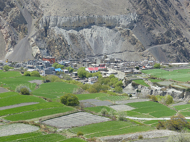
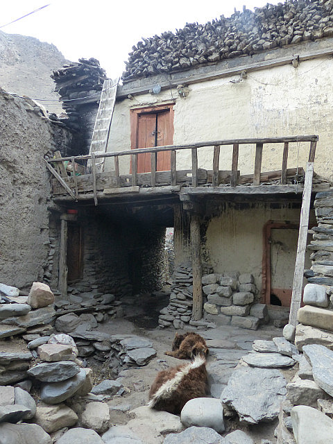
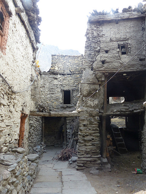
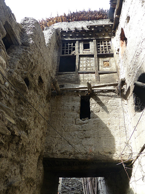
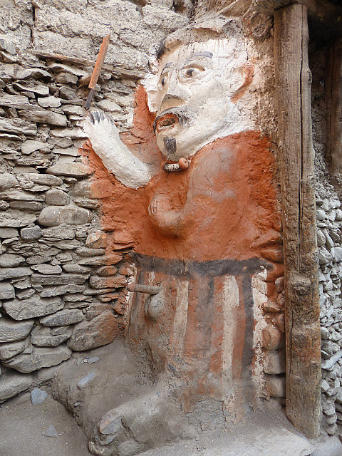
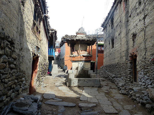
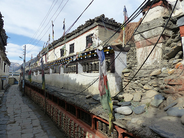
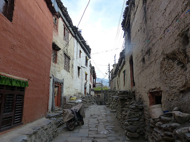
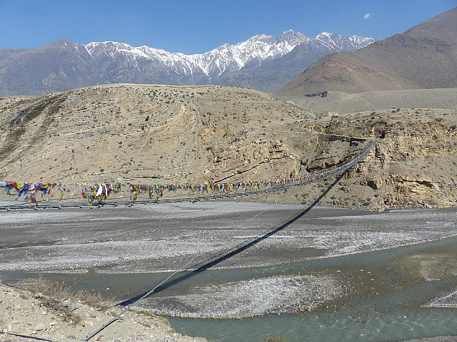
at YakDonalds, and went out to explore the town, the farthest you can go into Upper Mustang without a special permit. Kagbeni was one of the most interesting towns along the route despite not having any notable sights
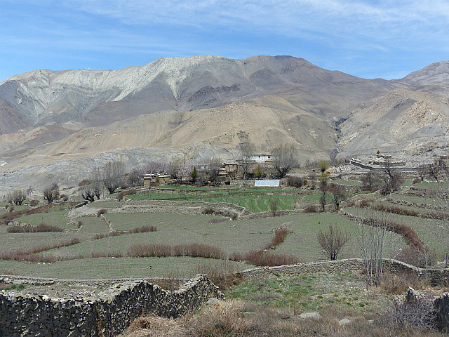
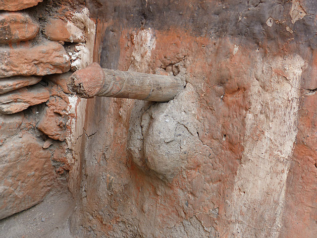
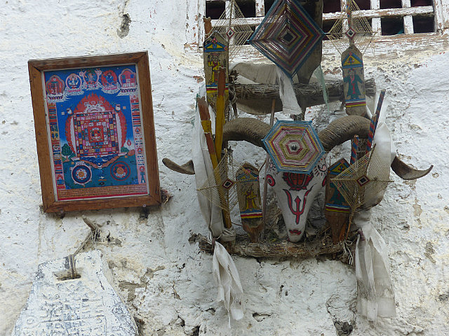
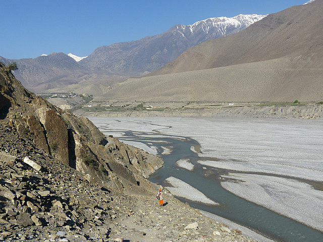
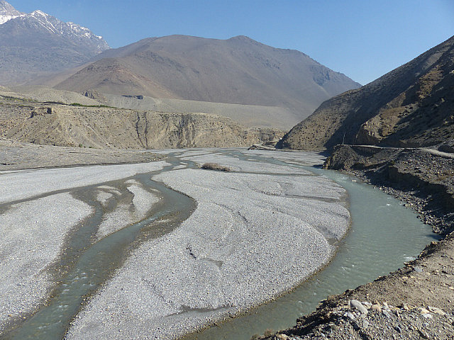
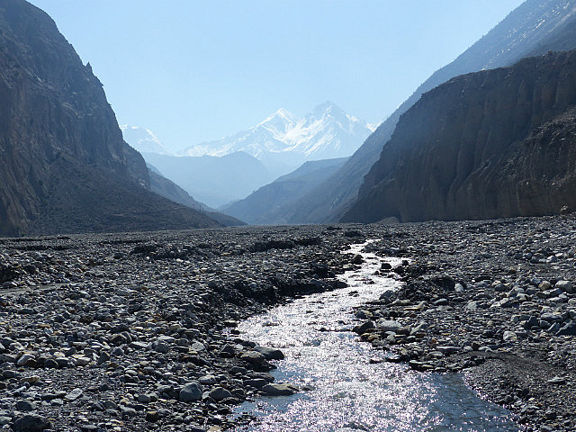
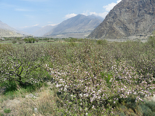
. The village is very crowded with many of the pedestrian streets essentially becoming tunnels for significant distances with dwellings built over them. Especially photogenic is the statue of a pre-Buddhist (would that be Bon religion? I’m not sure) protector deity with an erect phallus in one of the town’s courtyards.The route from Kagbeni to Jomsom and onwards to Marpha is
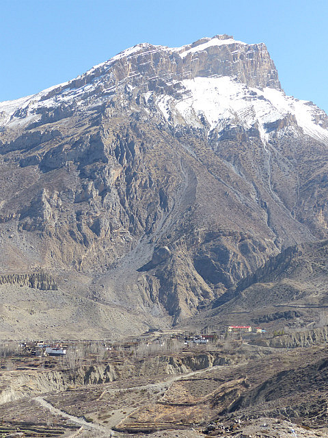
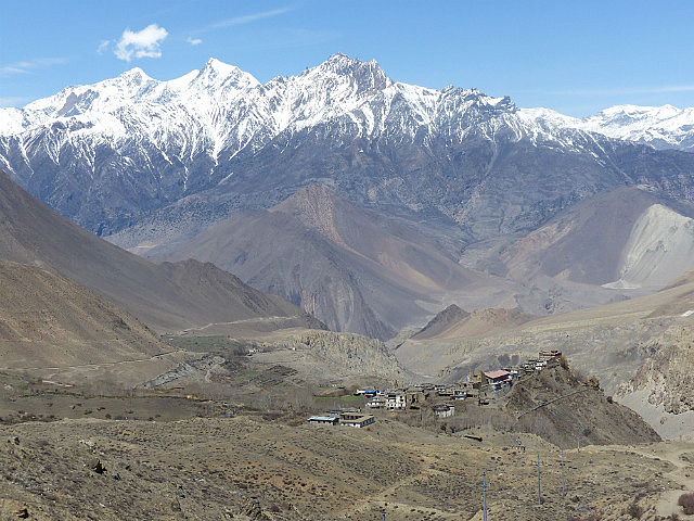
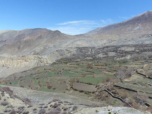
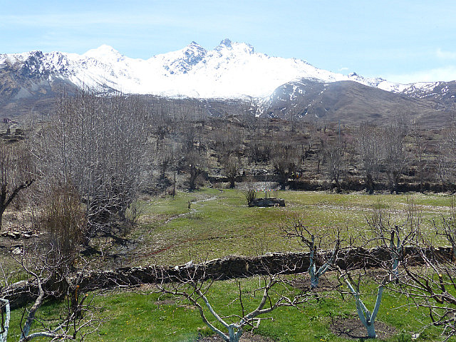
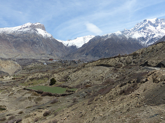
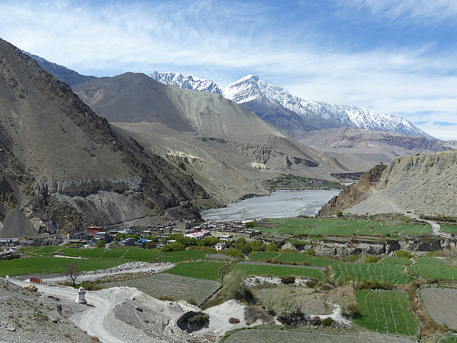
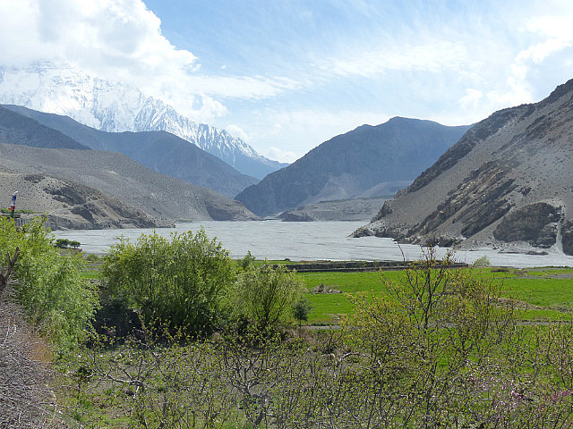
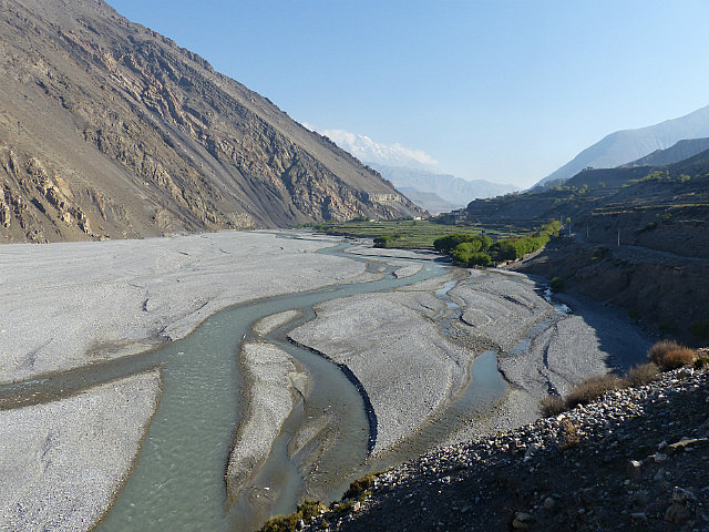
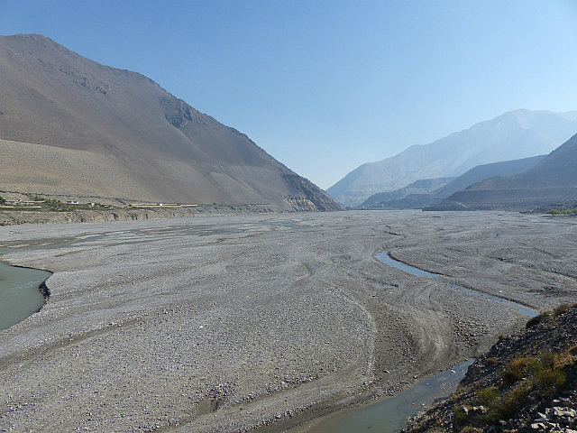
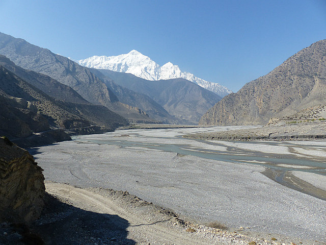
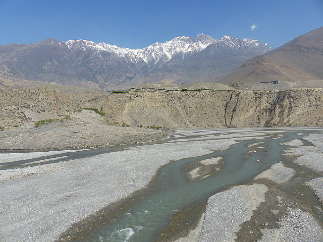
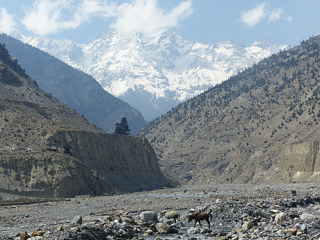
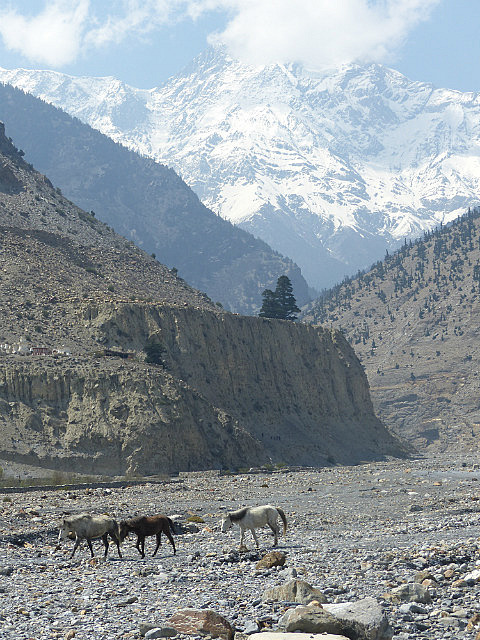
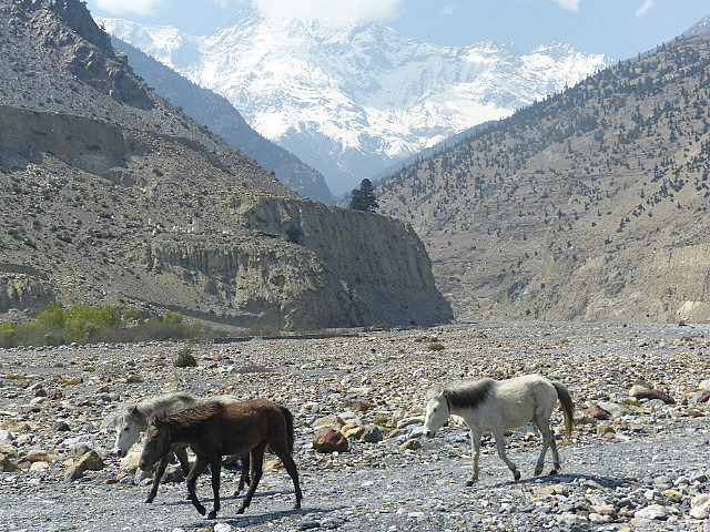
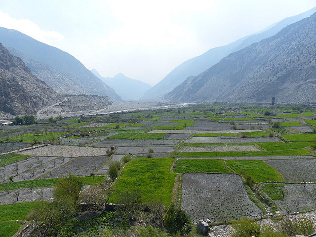
mostly on the river’s nearly level gravel plain through bleak treeless
surroundings. I walked the several hours to Jomsom first thing in the morning
to take advantage of cooler morning hours and avoid the ferocious winds which
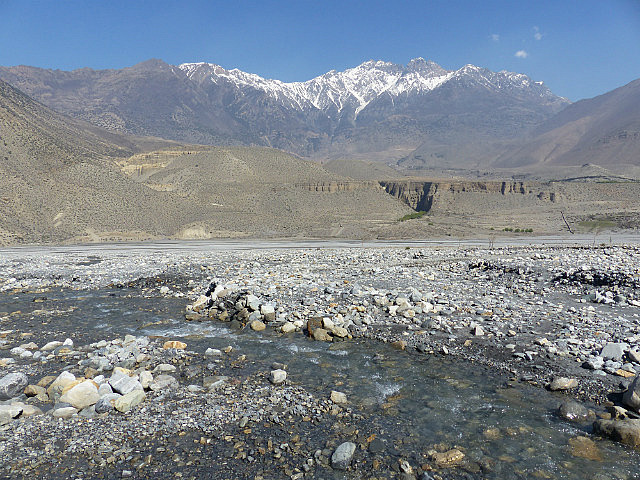
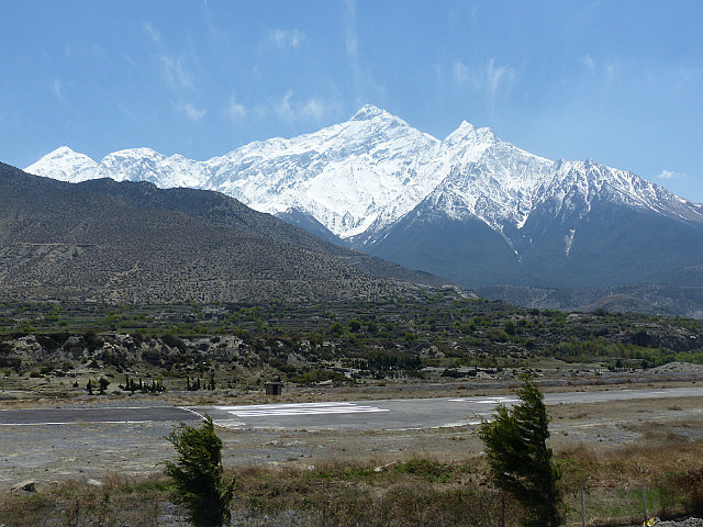
blow up the valley in the afternoon. Jomsom is valley’s unattractive modern
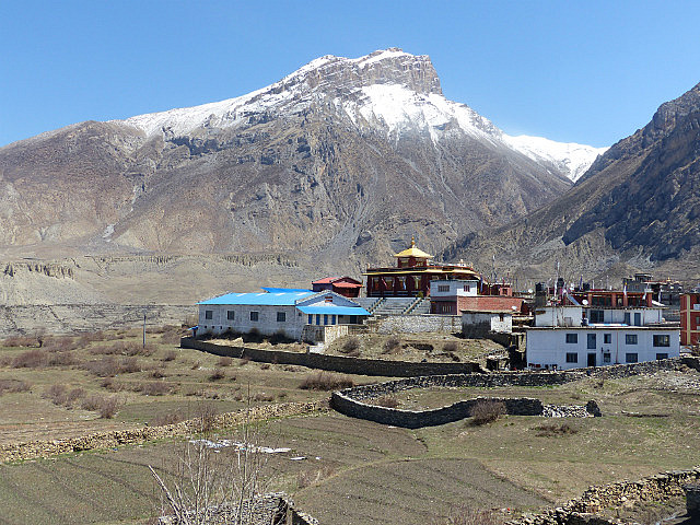
main town with an airstrip with several daily flights to Pokhara. Nowadays many
people end their Annapurna Circuit treks in Jomsom, potentially shortening the
trek to as little as 8 or 9 days. I continued on to Marpha for the night.Jomsom has an Internet café with a very fast connection,
which was godsend. On the other hand, though, I was hoping to use one of the
town’s two ATMs. My cash situation wasn’t dire and adequate to get me to
Pokhara on the regular route, but with much time to spare I was considering
extending the trek with a 5 or 6 day trip to Annapurna Base Camp. Those plans
were nixed when neither ATM accepted my card. Oh well, I’ll have walked aplenty
by then.
Annapurna Trek VIII - Upper Kali Gandaki Valley
Tuesday, April 22, 2014
 Jomsom, Western Region, Nepal
Other Entries
-
Apr 193 days prior Manang, Nepal
 -
Apr 202 days prior
Muktinath, Nepal -
Apr 22
Jomsom, Nepal -
Apr 242 days later
Tatopani, Nepal -
Apr 275 days later
Ghorepani, Nepal -
May 0210 days later
Pokhara, Nepal -
May 1321 days later
Kodari, Nepal -
May 1725 days later Tingri, China
 -
May 1927 days later
Everest Base Camp, China -
May 2028 days later
Lhatse, China -
May 2230 days later
Shigatse, China -
May 2331 days later
Gyangze, China -
May 2432 days later
Lungsang La, China -
May 2533 days later
Lhasa, China -
May 2634 days later
Lhasa, China -
May 2836 days later
Amdo, China -
May 3139 days later
Qinghai Hu, China -
Jun 0241 days later
Lanzhou, China -
Jun 0443 days later
Xiahe, China -
Jun 0645 days later
Liujiaxia, China -
Jun 0746 days later
Pingliang, China


2025-05-22