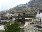
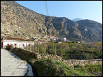
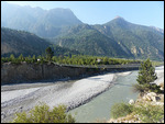
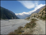
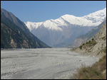
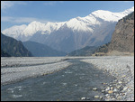
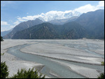
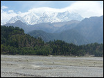
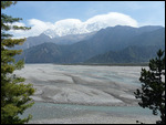
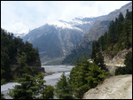
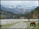
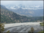
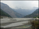
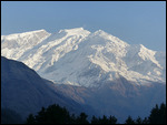
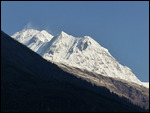
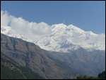
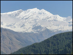
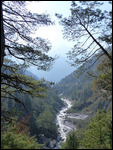
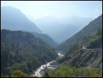
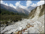
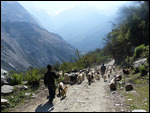
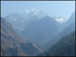
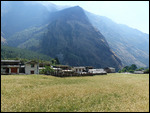
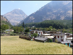
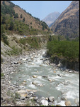
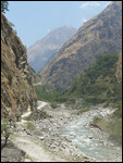
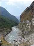
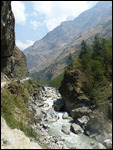
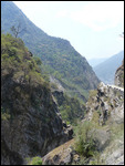
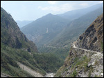
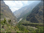
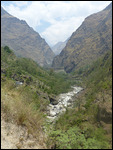
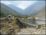
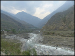
The canyon through which the Kali Gandaki River flows is said to be the deepest gorge on earth, something like 7,000 meters or 24,000 feet. That's a bit of a stretch, however, since it mostly looks like a narrow river valley and nothing like serious canyons like the Grand Canyon or Black Canyon in the western U.S. That depth is measured from the peaks of Annapurna I and Dhaulagiri, both over 8,000 meters high but something like 25 kilometers apart, to the valley floor. It’s really just an impressive valley.
I have to admit that once I got to this stage of the trek the two days from Marpha to Tatopani at the bottom were quite anticlimactic
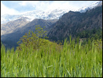
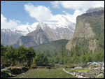
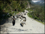
. It’s in some ways more pleasant to be walking downhill, but there’s not the same excitement as continuing to rise to a higher elevation and ever more snowy peaks. Although the gorge I trekked down had significant differences in appearance from the one I walked up one to two weeks earlier, there were also many similarities in cultures and experiences with landscape now going from arid desert to dry pine forest and then to lusher sub-tropical forest at the lower elevations and culture changing from the Tibetan-influenced Buddhist one of the high valleys to Hindu ethnic groups more typical of the Himalayan foothills of Nepal lower down.
I also lost most of my trail friends along the way, the people whose paths I crossed on the trail and saw in guesthouses most nights along the way who became my hiking pals. Some only went as far as Jomsom and flew out. Others skipped the night in Kagbeni and were a day ahead of me on the trail. In any event, by this point I missed the camaraderie I had with many of my fellow trekkers for the previous ten days or so
.
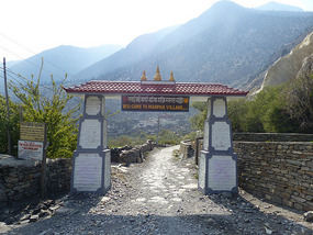
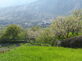
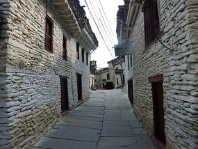
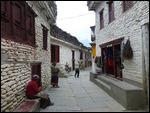
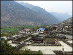
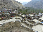
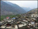
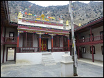
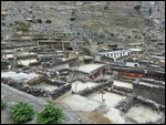
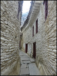
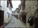
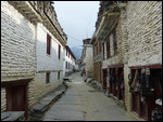
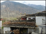
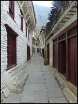
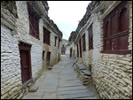
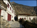
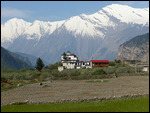
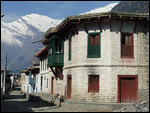
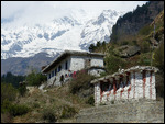
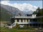
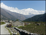
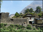
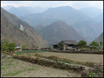
I spent a night in Marpha in the upper part of the valley, probably the nicest town I had come across since the stone houses were all whitewashed with particularly big stacks of firewood on the roofs, a monastery above the village, and apple orchards covering the valley floor. Apple products are the specialty if the area – cider and brandy and firewater.
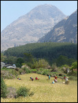
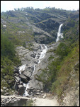
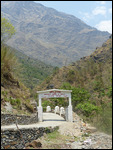
The next day was a long boring walk on the river’s almost level gravel plain, passing a couple villages named Larjung and Takuche, and good views of the Dhaulagiri Icefall, the large glacier on the northeast side of the 8,000 meter peak of the same name. Then it was a ways through a pine forest, crossing the river on a high suspension bridge at a gorge, and a few ups and downs to Kalopani. I stopped for lunch at a modern lodge and fell asleep in my chair during the thunderstorm that blew in. I decided to stay the night based on the positive recommendations in the guidebooks in a fairly luxurious (for Nepal) room with a sitting area and a private bathroom with hot running water and shower, all for 400 rupees or about $4, the best deal anywhere!
Beyond Kalopani I walked along the road the entire way the next day as it dropped steeply in spots and was blasted out of the cliff face elsewhere. And, of course, as I descended it got hotter and sweatier. Tatopani is a small village which has many guesthouses as well as a small hot spring pleasant for a soak. I decided to take a full rest day in the town before the long grueling ascent to Poon Hill. Tatopani Lies close to the low point of the Circuit trek at 1,190 meters (3,500 feet) so I had gone full circle in terms altitude gains and losses since the start of my long walk.
Annapurna Trek IX - Lower Kali Gandaki Valley
Thursday, April 24, 2014
 Tatopani, Western Region, Nepal
Other Entries
-
64Polonnaruwa - Anicent Ruins & Elephant Safari
Mar 2035 days prior Polonnaruwa, Sri Lankaphoto_camera46videocam 0comment 0
 -
65Sigiriya - Sri Lanka's Rock Top Fortress
Mar 2134 days prior Sigiriya, Sri Lankaphoto_camera25videocam 0comment 0
 -
66Kandy - Sri Lankan Cultural Capital
Mar 2233 days prior Kandy, Sri Lankaphoto_camera74videocam 0comment 0
 -
67Adams Peak - Where Adam Landed on Earth
Mar 2431 days prior Hatton, Sri Lankaphoto_camera33videocam 0comment 0
 -
68Sri Lanka Central Highlands - Tea Country
Mar 2530 days prior Bandarawela, Sri Lankaphoto_camera64videocam 0comment 0
 -
69Sri Lanka's South Coast - Colonial Galle & Beaches
Mar 2728 days prior Galle, Sri Lankaphoto_camera57videocam 0comment 0
 -
70Colombo - Sri Lanka's Capital
Mar 2926 days prior Colombo, Sri Lankaphoto_camera36videocam 0comment 0
 -
71Male - Tiny Capital of the Maldives
Mar 3025 days prior Male, Maldivesphoto_camera62videocam 0comment 0
 -
72Maldives - Crusing Through Paradise on a Dhoni
Apr 0519 days prior Felidhoo, Maldivesphoto_camera99videocam 0comment 0
 -
73Annapurna Trek I - Lower Marshyangdi River Valley
Apr 1113 days prior Bahundanda, Nepalphoto_camera86videocam 0comment 0
 -
74Annapurna Trek II - Long Day to Chame
Apr 1311 days prior Chame , Nepalphoto_camera43videocam 0comment 0
 -
75Annapurna Trek III - Medieval Upper Pisang
Apr 1410 days prior Upper Pisang, Nepalphoto_camera102videocam 0comment 0
 -
76Annapurna Trek IV - High Road to Manang
Apr 159 days prior Manang, Nepalphoto_camera155videocam 0comment 0
 -
77Annapurna Trek V - Acclimatization Around Manang
Apr 177 days prior Manang, Nepalphoto_camera110videocam 0comment 0
 -
78Annapurna Trek VI - Towards the Thorung La
Apr 195 days prior Manang, Nepalphoto_camera84videocam 0comment 0
 -
79Annapurna Trek VII - Crossing the Thorung La
Apr 204 days prior Muktinath, Nepalphoto_camera93videocam 0comment 0
 -
80Annapurna Trek VIII - Upper Kali Gandaki Valley
Apr 222 days prior Jomsom, Nepalphoto_camera98videocam 0comment 0
 -
81Annapurna Trek IX - Lower Kali Gandaki Valley
Apr 24 Tatopani, Nepalphoto_camera88videocam 0comment 0
 -
82Annapurna Trek X - Over Poon Hill
Apr 273 days later Ghorepani, Nepalphoto_camera59videocam 0comment 0
 -
83Pokhara - Lakeside Trek Recovery
May 028 days later Pokhara, Nepalphoto_camera41videocam 0comment 0
 -
84Last Resort - The Journey to Tibet Begins
May 1319 days later Kodari, Nepalphoto_camera31videocam 0comment 0
 -
85Entering Tibet - Climbing to the Roof of the World
May 1723 days later Tingri, Chinaphoto_camera67videocam 0comment 0
 -
86Everest Base Camp - Top of the World
May 1925 days later Everest Base Camp, Chinaphoto_camera70videocam 0comment 0
 -
87To Everest Base Camp and Back
May 2026 days later Lhatse, Chinaphoto_camera61videocam 0comment 0
 -
88Shigatse - Monastery of the Panchen Lama
May 2228 days later Shigatse, Chinaphoto_camera120videocam 0comment 0
 -
89Gyangze - Hilltop Fortress and Monasteries
May 2329 days later Gyangze, Chinaphoto_camera62videocam 0comment 0
 -
90The Road to Lhasa
May 2430 days later Lungsang La, Chinaphoto_camera47videocam 0comment 0
 -
91Lhasa - Capital of the Tibetan World
May 2531 days later Lhasa, Chinaphoto_camera128videocam 0comment 0
 -
92Lhasa Environs - Drepung and Sera Monasteries
May 2632 days later Lhasa, Chinaphoto_camera78videocam 0comment 0
 -
93Three Days Crossing the Roof of the World
May 2834 days later Amdo, Chinaphoto_camera90videocam 0comment 0
 -
94Crossing Qinghai - The High Road to China
May 3137 days later Qinghai Hu, Chinaphoto_camera68videocam 0comment 0
 -
95Lanzhou - Gigantic Capital of Gansu Province
Jun 0239 days later Lanzhou, Chinaphoto_camera75videocam 0comment 0
 -
96Xiahe - Home of the Tibetan Labrang Monastery
Jun 0441 days later Xiahe, Chinaphoto_camera82videocam 0comment 0
 -
97Bingling Si - Ancient Buddhist Cave Art
Jun 0643 days later Liujiaxia, Chinaphoto_camera35videocam 0comment 0
 -
98The Road to Xian
Jun 0744 days later Pingliang, Chinaphoto_camera37videocam 0comment 0
 -
99Xian - Terracotta Warrior Army
Jun 0946 days later Lantian County, Chinaphoto_camera72videocam 0comment 0

 Tatopani, Western Region, Nepal


2025-05-22