To Everest Base Camp and Back
Tuesday, May 20, 2014
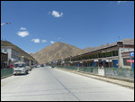
 Lhatse, Tibet Autonomous Region, China
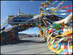
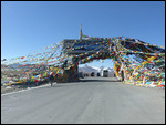
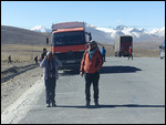
This blog entry includes photos I took on the road to
Everest Base Camp from the Friendship Highway, backtracking from the peak on
that route, and then travel along the Friendship Highway to Shigatse . I want to
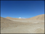
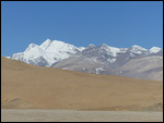
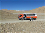
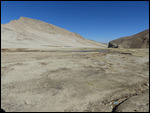
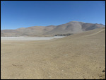
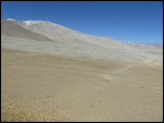
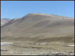
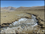
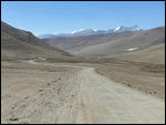
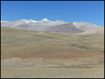
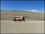
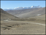
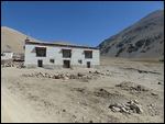
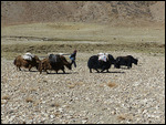
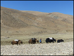
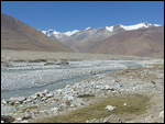
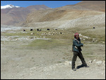
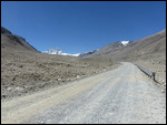
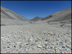
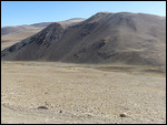
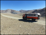
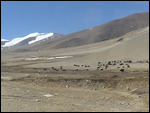
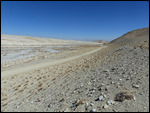
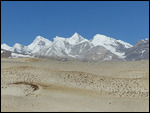
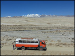
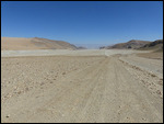
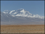
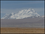
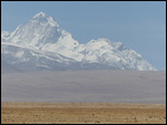
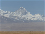
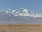
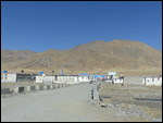
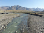
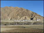
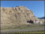
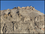
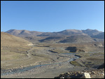
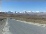
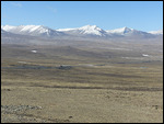
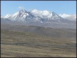
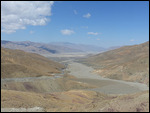
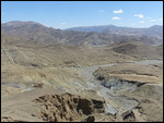
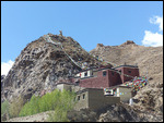
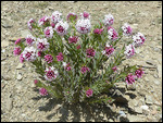
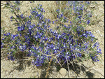
show the bleak desert landscape of the Tibetan side of the Himalayas as well as
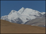
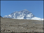
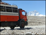
some of the snow covered peaks in the distance. Notable among these is Cho Oyu
Peak, the 8,200 meter peak to Everest’s west.
This region west of Lhasa is historically known as Tsang,
one of the three historical regions of Tibet along with Kham in the east and
Amdo in the north. I continued to be impressed by the brightness and clarity of
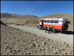
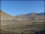
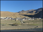
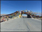
the light and colors of the landscape as we drove northeastwards over several high
passes over 16,000 feet and through some farmed valleys. There were many places
where I thought, “This looks just like Wyoming!” something I found myself
saying often some years back when I traveled through Mongolia.
Other Entries
-
70Colombo - Sri Lanka's Capital
Mar 2952 days prior Colombo, Sri Lankaphoto_camera36videocam 0comment 0
 -
71Male - Tiny Capital of the Maldives
Mar 3051 days prior Male, Maldivesphoto_camera62videocam 0comment 0
 -
72Maldives - Crusing Through Paradise on a Dhoni
Apr 0545 days prior Felidhoo, Maldivesphoto_camera99videocam 0comment 0
 -
73Annapurna Trek I - Lower Marshyangdi River Valley
Apr 1139 days prior Bahundanda, Nepalphoto_camera86videocam 0comment 0
 -
74Annapurna Trek II - Long Day to Chame
Apr 1337 days prior Chame , Nepalphoto_camera43videocam 0comment 0
 -
75Annapurna Trek III - Medieval Upper Pisang
Apr 1436 days prior Upper Pisang, Nepalphoto_camera102videocam 0comment 0
 -
76Annapurna Trek IV - High Road to Manang
Apr 1535 days prior Manang, Nepalphoto_camera155videocam 0comment 0
 -
77Annapurna Trek V - Acclimatization Around Manang
Apr 1733 days prior Manang, Nepalphoto_camera110videocam 0comment 0
 -
78Annapurna Trek VI - Towards the Thorung La
Apr 1931 days prior Manang, Nepalphoto_camera84videocam 0comment 0
 -
79Annapurna Trek VII - Crossing the Thorung La
Apr 2030 days prior Muktinath, Nepalphoto_camera93videocam 0comment 0
 -
80Annapurna Trek VIII - Upper Kali Gandaki Valley
Apr 2228 days prior Jomsom, Nepalphoto_camera98videocam 0comment 0
 -
81Annapurna Trek IX - Lower Kali Gandaki Valley
Apr 2426 days prior Tatopani, Nepalphoto_camera88videocam 0comment 0
 -
82Annapurna Trek X - Over Poon Hill
Apr 2723 days prior Ghorepani, Nepalphoto_camera59videocam 0comment 0
 -
83Pokhara - Lakeside Trek Recovery
May 0218 days prior Pokhara, Nepalphoto_camera41videocam 0comment 0
 -
84Last Resort - The Journey to Tibet Begins
May 137 days prior Kodari, Nepalphoto_camera31videocam 0comment 0
 -
85Entering Tibet - Climbing to the Roof of the World
May 173 days prior Tingri, Chinaphoto_camera67videocam 0comment 0
 -
86Everest Base Camp - Top of the World
May 191 day prior Everest Base Camp, Chinaphoto_camera70videocam 0comment 0
 -
87To Everest Base Camp and Back
May 20 Lhatse, Chinaphoto_camera61videocam 0comment 0
 -
88Shigatse - Monastery of the Panchen Lama
May 222 days later Shigatse, Chinaphoto_camera120videocam 0comment 0
 -
89Gyangze - Hilltop Fortress and Monasteries
May 233 days later Gyangze, Chinaphoto_camera62videocam 0comment 0
 -
90The Road to Lhasa
May 244 days later Lungsang La, Chinaphoto_camera47videocam 0comment 0
 -
91Lhasa - Capital of the Tibetan World
May 255 days later Lhasa, Chinaphoto_camera128videocam 0comment 0
 -
92Lhasa Environs - Drepung and Sera Monasteries
May 266 days later Lhasa, Chinaphoto_camera78videocam 0comment 0
 -
93Three Days Crossing the Roof of the World
May 288 days later Amdo, Chinaphoto_camera90videocam 0comment 0
 -
94Crossing Qinghai - The High Road to China
May 3111 days later Qinghai Hu, Chinaphoto_camera68videocam 0comment 0
 -
95Lanzhou - Gigantic Capital of Gansu Province
Jun 0213 days later Lanzhou, Chinaphoto_camera75videocam 0comment 0
 -
96Xiahe - Home of the Tibetan Labrang Monastery
Jun 0415 days later Xiahe, Chinaphoto_camera82videocam 0comment 0
 -
97Bingling Si - Ancient Buddhist Cave Art
Jun 0617 days later Liujiaxia, Chinaphoto_camera35videocam 0comment 0
 -
98The Road to Xian
Jun 0718 days later Pingliang, Chinaphoto_camera37videocam 0comment 0
 -
99Xian - Terracotta Warrior Army
Jun 0920 days later Lantian County, Chinaphoto_camera72videocam 0comment 0
 -
100Xian - Modern Day Chang'An
Jun 1021 days later Xi'an, Chinaphoto_camera108videocam 0comment 0

 Lhatse, Tibet Autonomous Region, China


2025-05-22