 Manang, Nepal
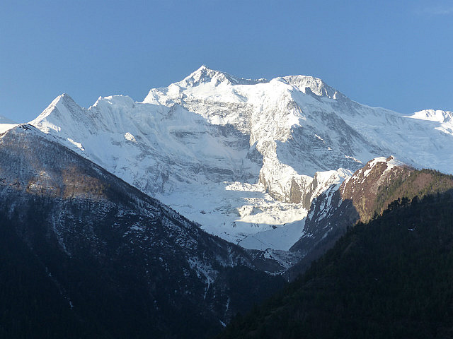
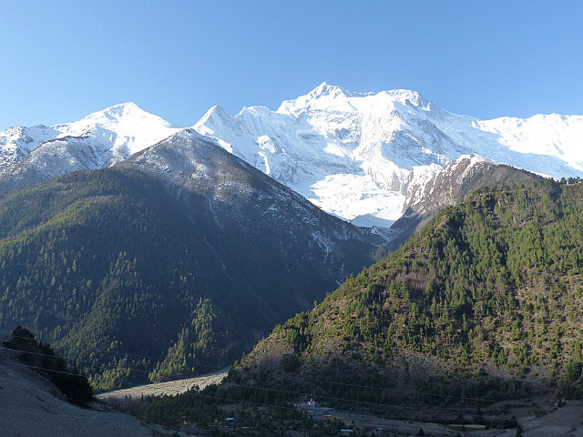
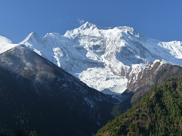
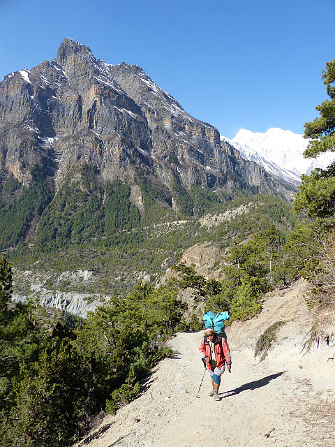
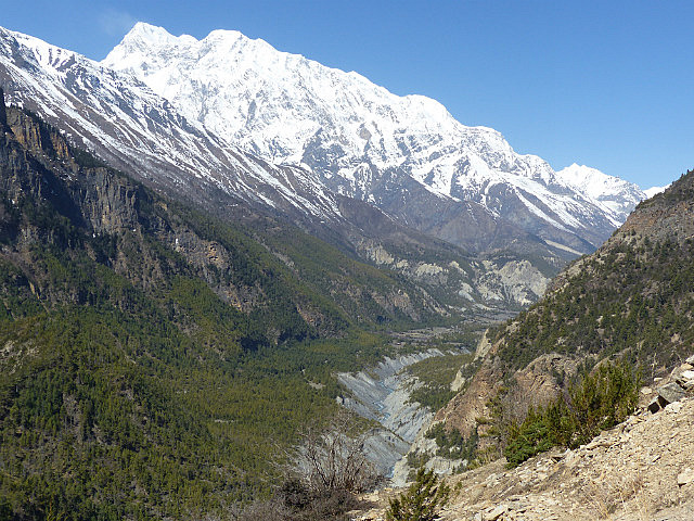
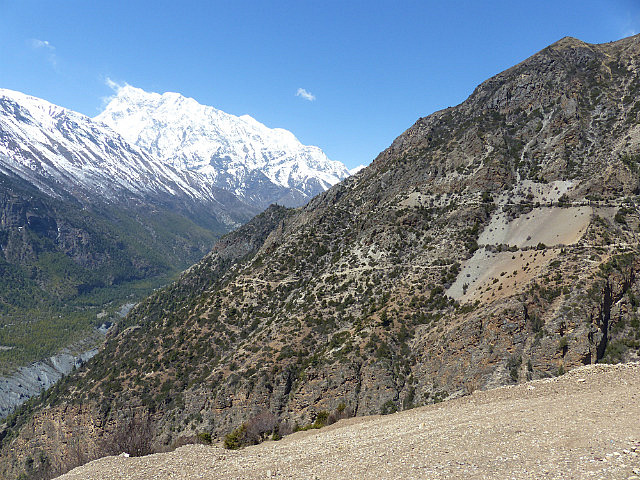
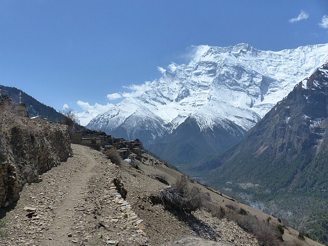
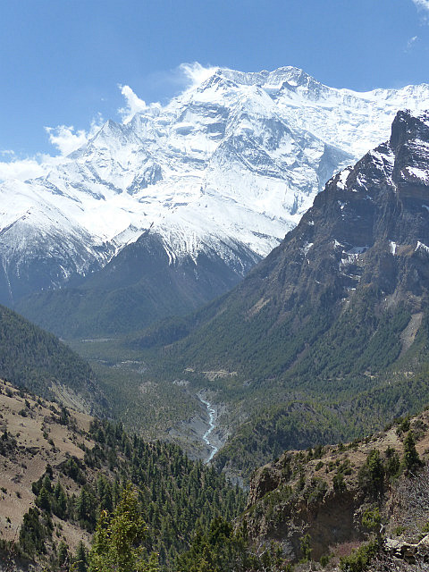
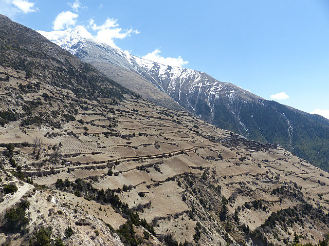
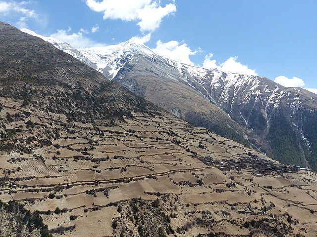
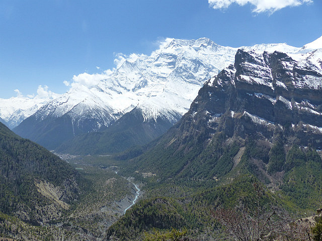
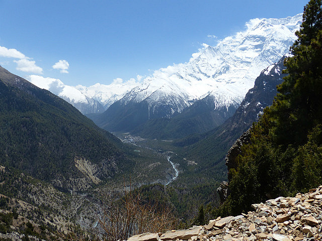
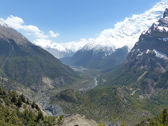
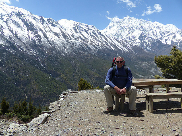
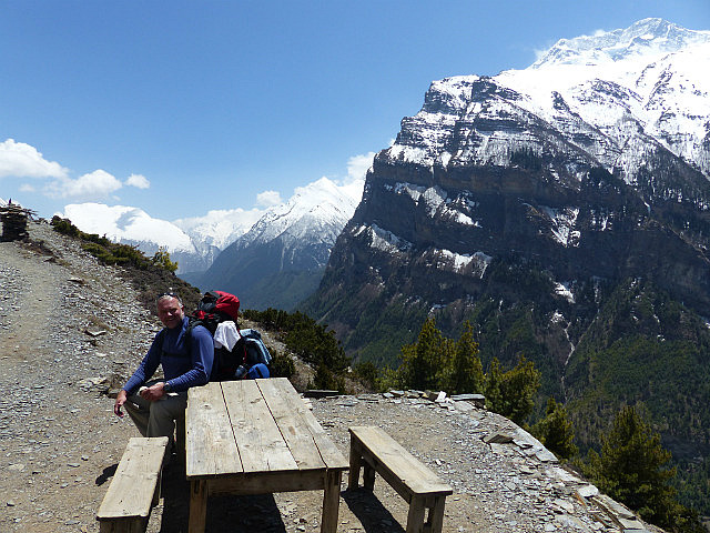
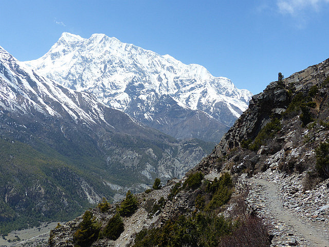
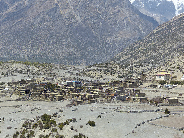
From the twin Pisang villages there are two routes to Manang, the capital and main town of the upper Marsyangdi Valley. The main route more or less follows the valley floor past the village of Hongde and the valley's airstrip. It is said to make for a fairly short and relatively easy day with a rather small gradual increase in elevation. The alternative route leaves from Upper Pisang, climbs steeply to a shelf and follows the side of the ridge through several villages about 500 meters (1,600 feet) above the valley floor. It makes for a long day with some steep ups and downs. Everyone I talked to insisted I take the high route for some of the best scenery on the whole trek.
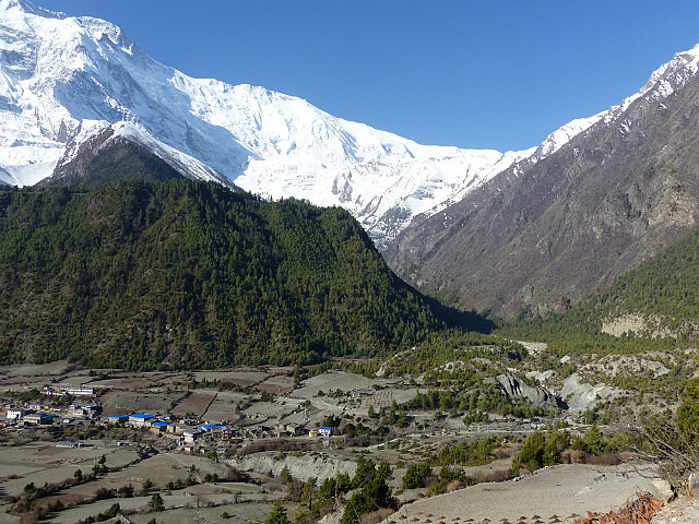
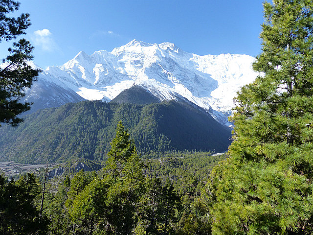
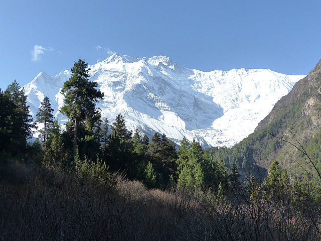
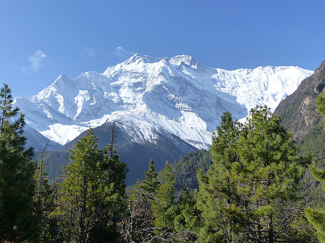
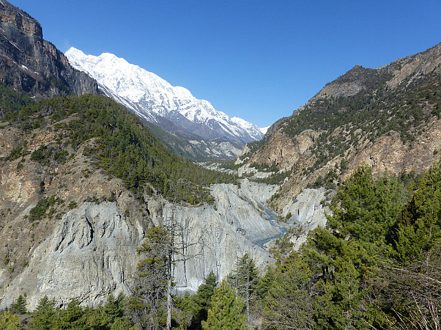
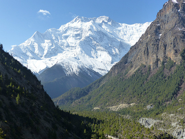
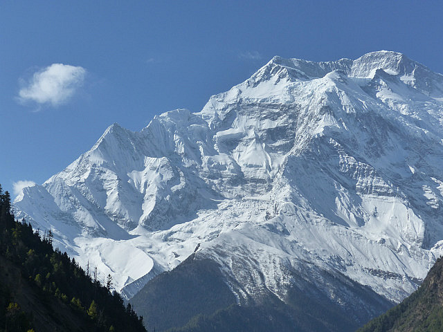
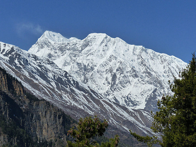
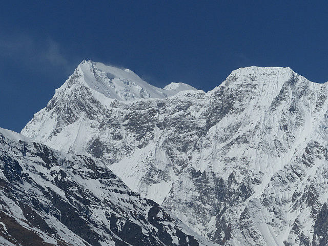
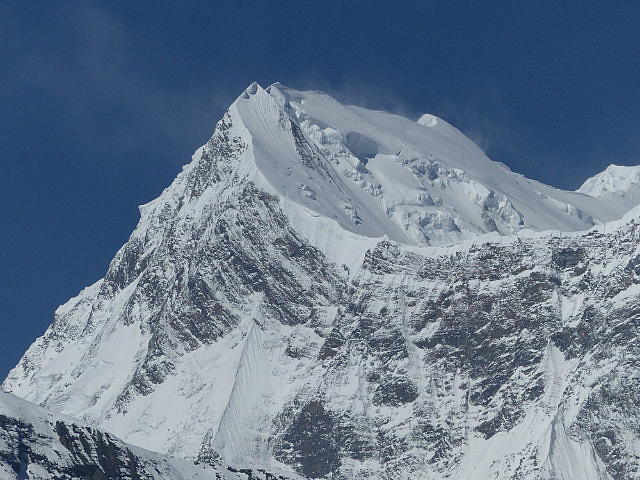
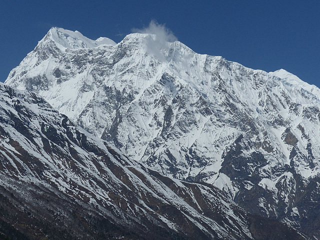
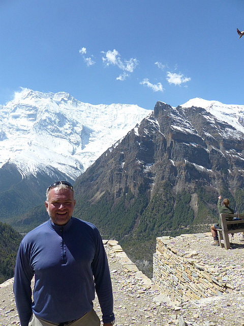
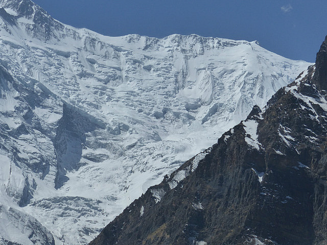
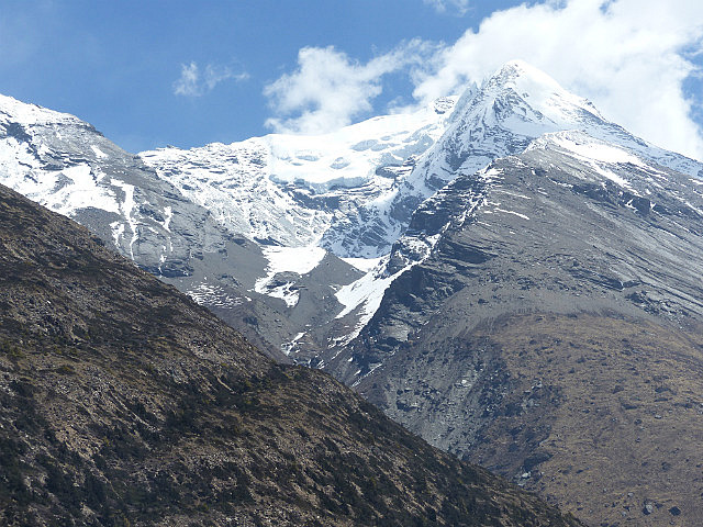
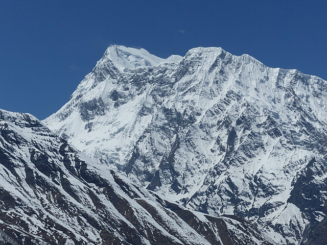
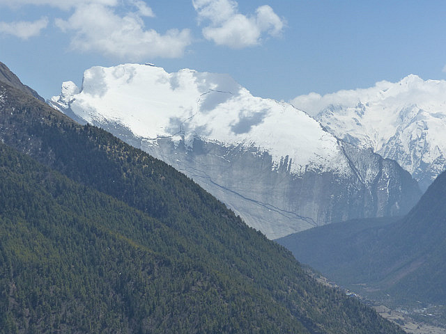
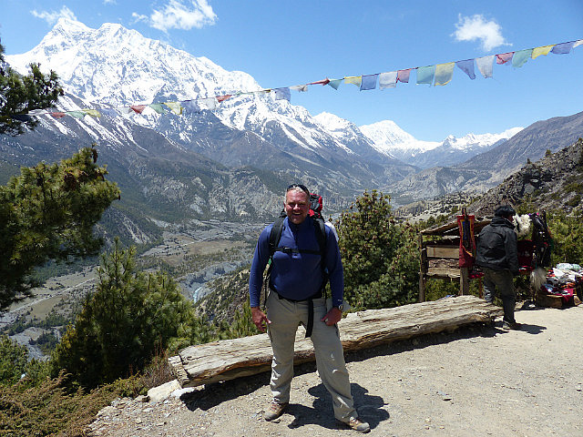
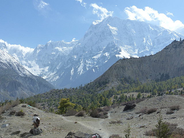
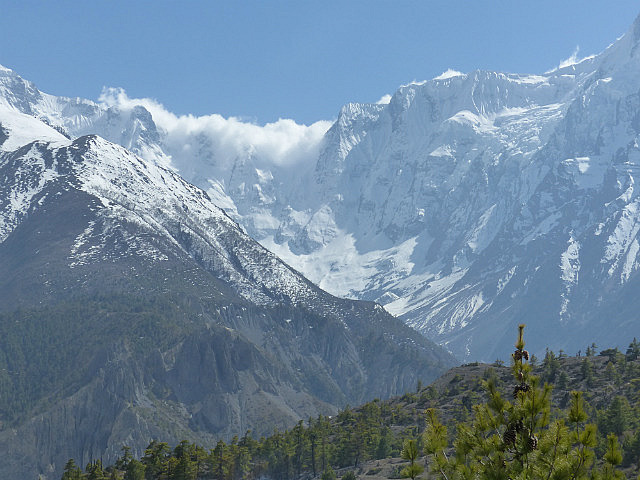
And they weren’t wrong! I got an early start from Upper Pisang under brilliant blue skies, a contrast to the partly to mostly cloudy skies I experienced for the first four days of the trek
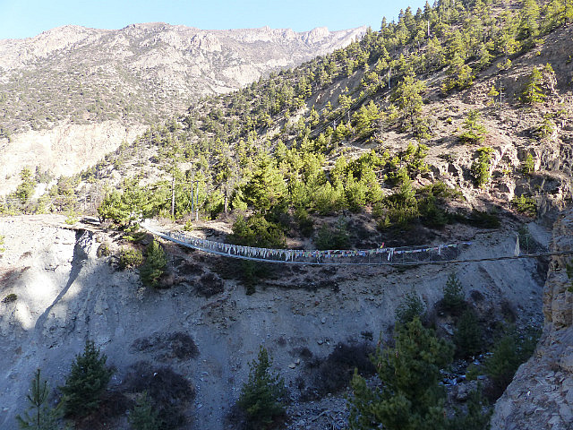
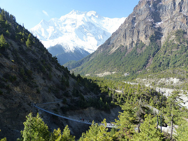
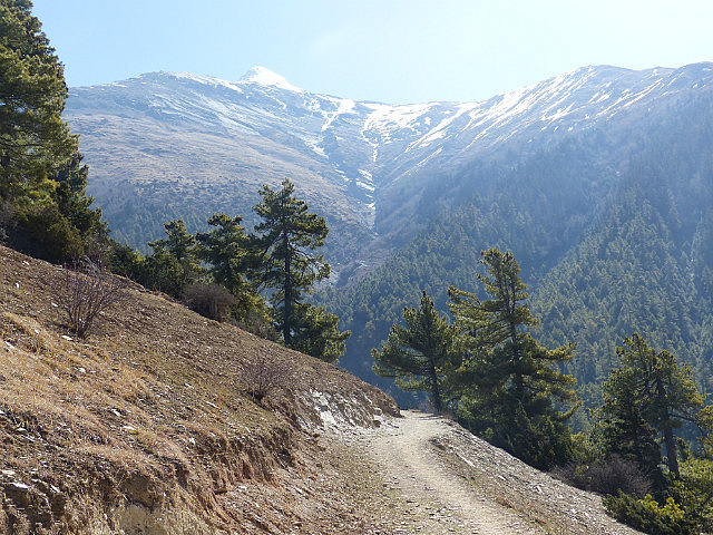
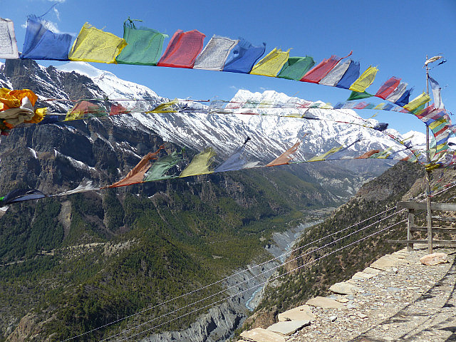
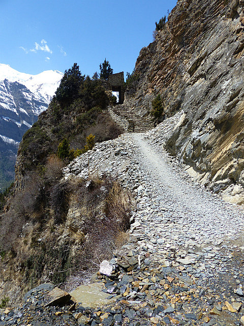
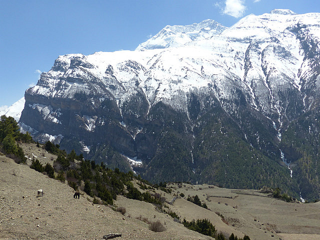
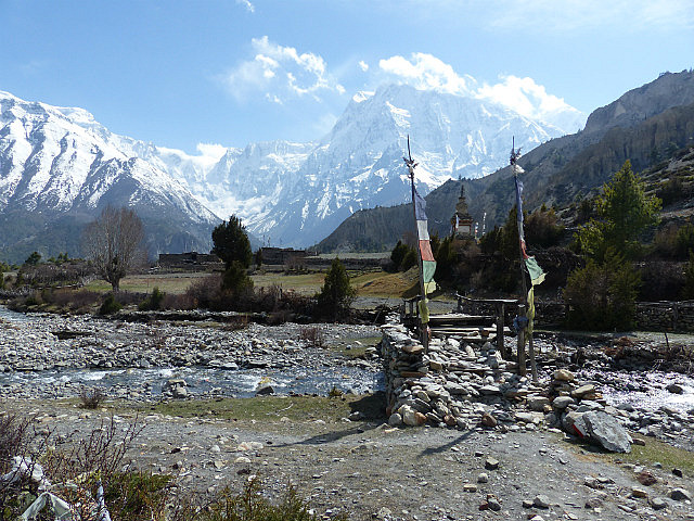
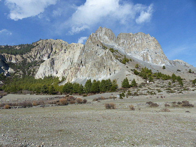
. After a mostly level walk for an hour the trail crossed a long suspension bridge after a long mani wall and prayer wheels. From there the trail began climbing in steep switchbacks for about 400 meters (1,300 feet), a grueling hike with my backpack in the bright morning sunshine.
I was reminded of the story of the tortoise and the hare as I climbed as everyone passed me. Being large and a bit chubby I’m the ultimate tortoise on the trail, but I always plan my route carefully and make it to my destination without any difficulties. Some of the younger and fitter people who passed me charging up the hill were in agony with altitude-induced headaches at lunch later in the day (most of the day’s hike was around 13,000 feet), but I felt completely fine.
Because I live in Colorado I’m quite used to higher elevations and how to prepare for them (13,000 feet is not an unusual altitude to hike to in Colorado), but I found some young invincibles were less prepared
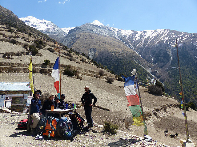
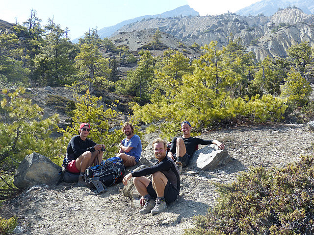
. I befriended a group of three young Finnish guys and an Australian along the way who had no idea they were supposed to use sunscreen. I asked them at lunch if they needed some as I greased up my face again with some. "No, I don’t need it. It’s not hot today!" “Dude, it has nothing to do with being hot or not!” They put some on and thanked me the following morning; their burned faces, arms, and legs would have been in far worse shape had it not been for my insistence they put some on.
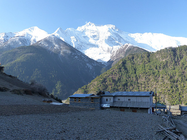
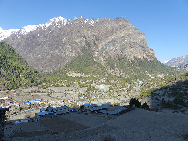
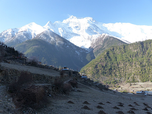
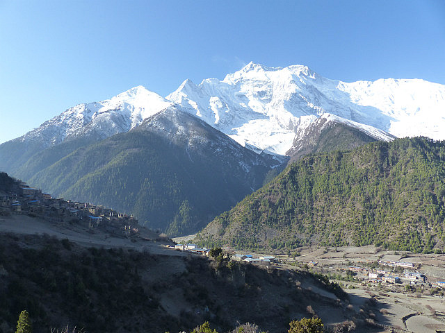
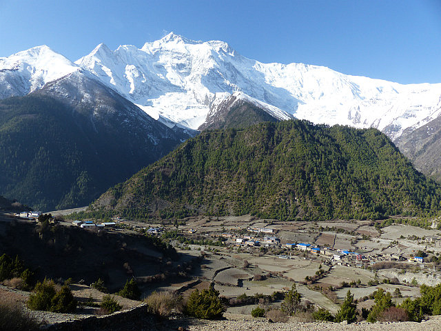
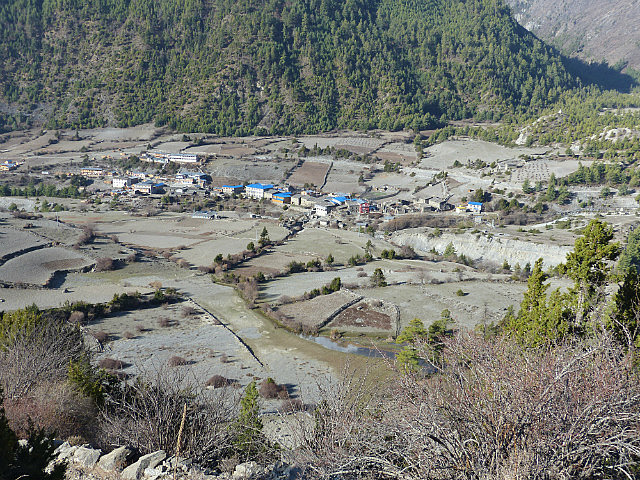
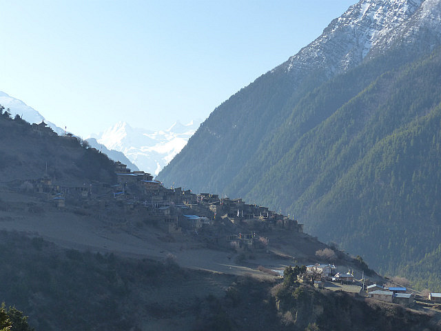
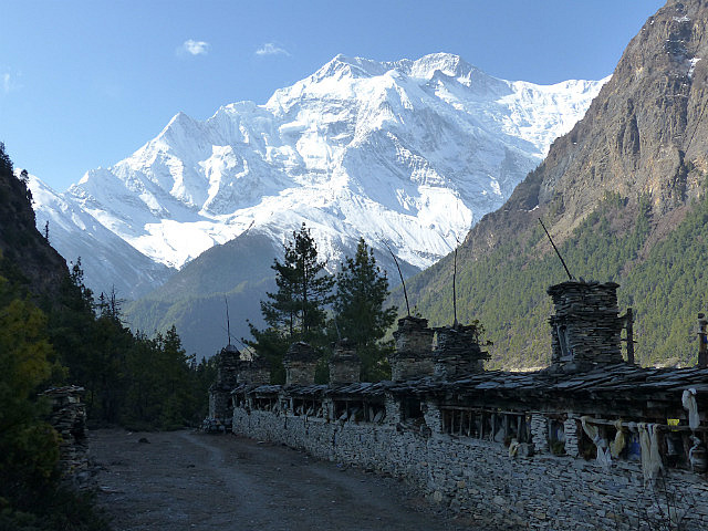
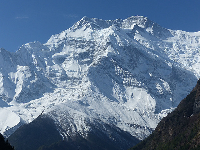
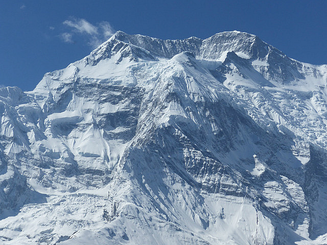
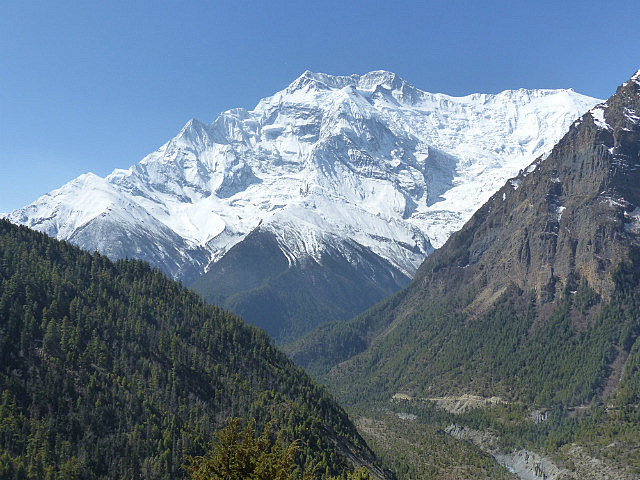
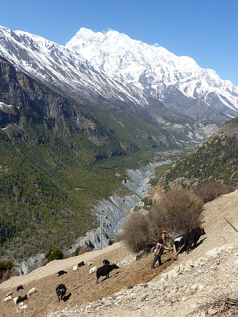
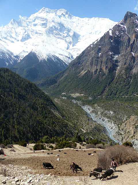
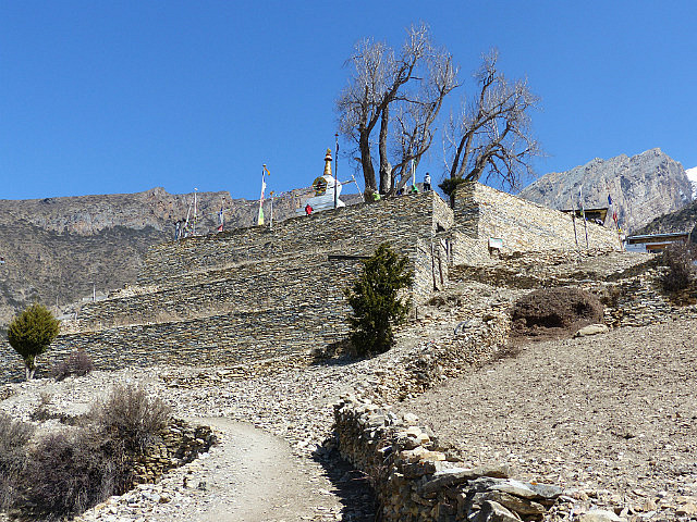
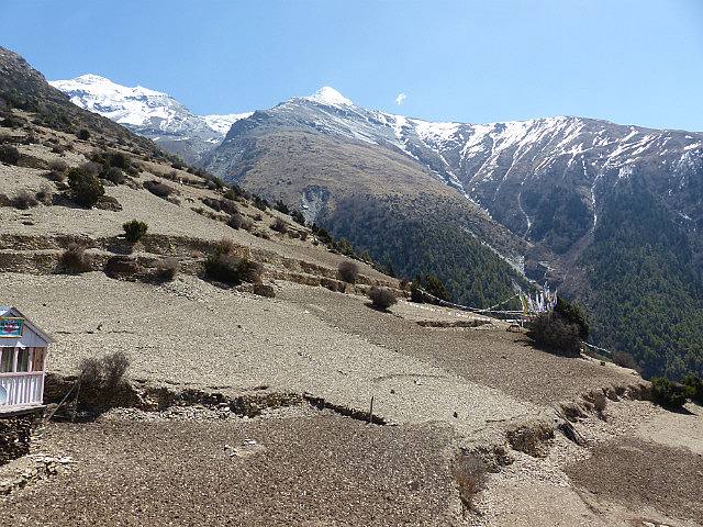
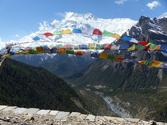
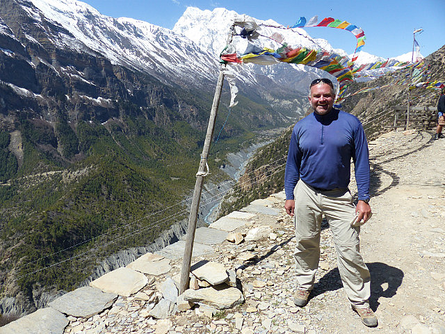
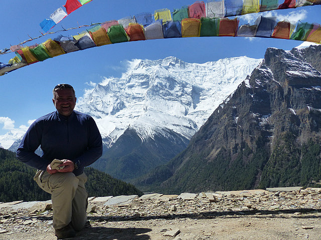
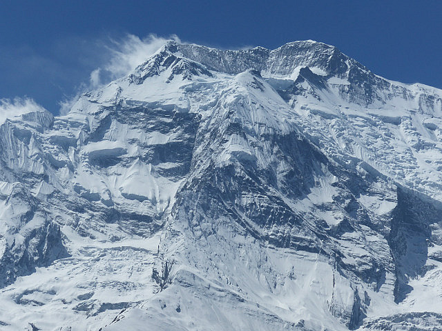
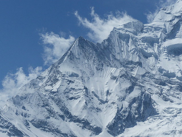
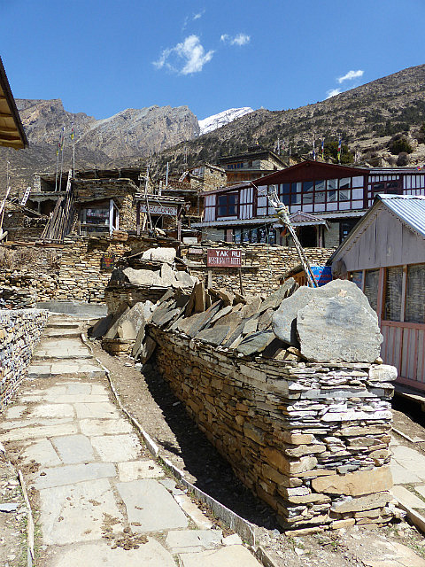
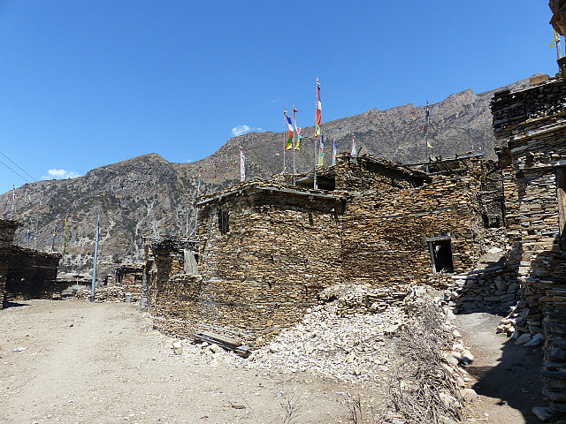
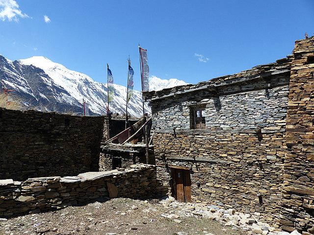
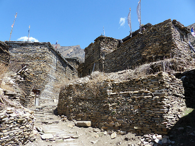
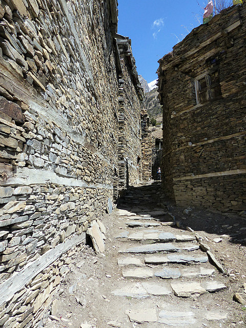
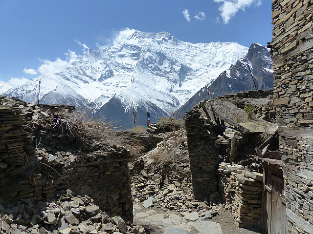
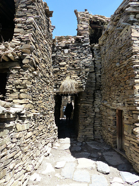
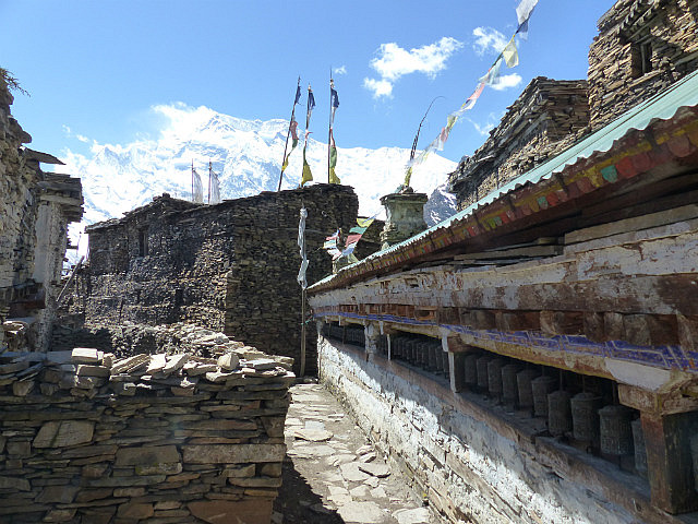
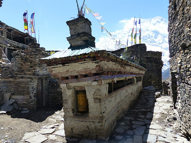
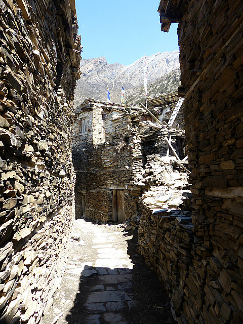
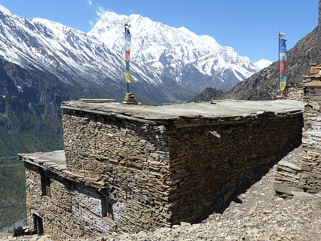
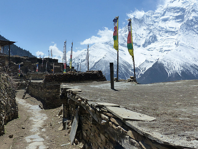
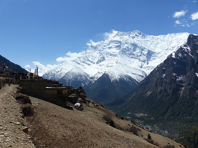
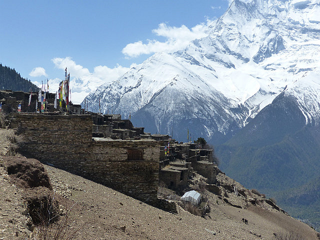
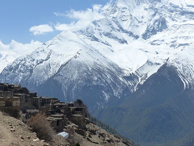
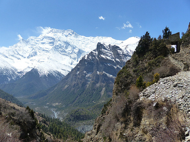
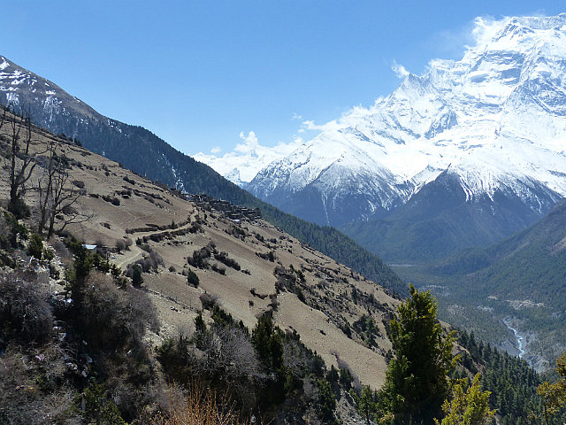
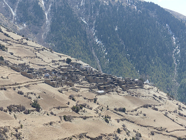
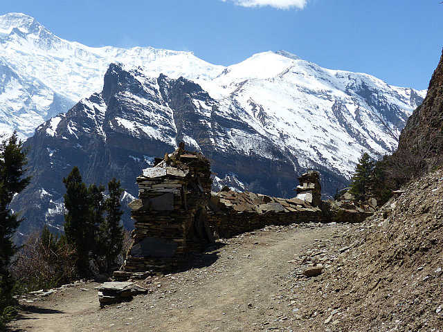
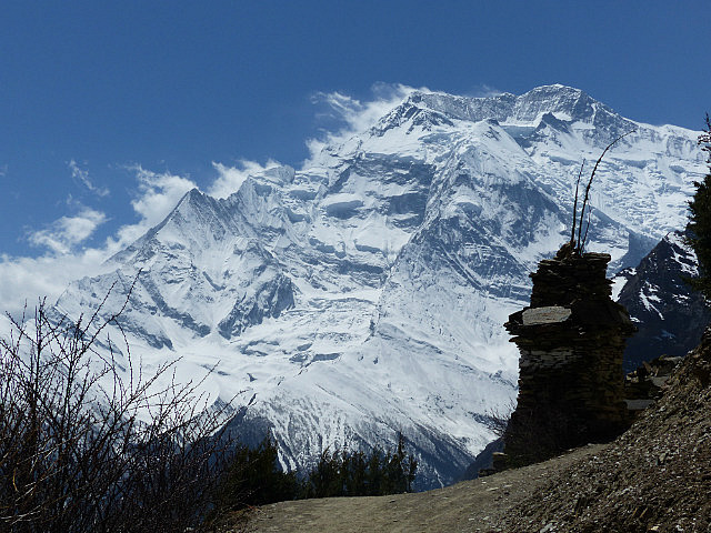
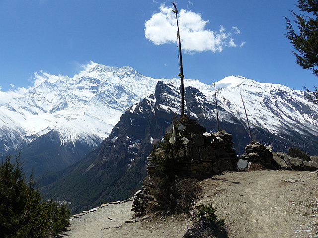
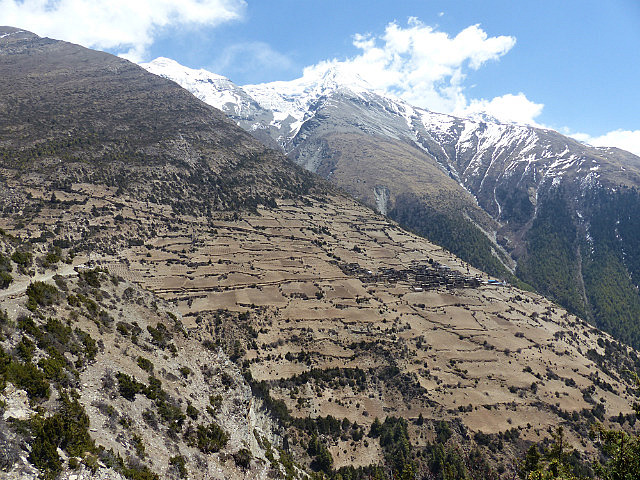
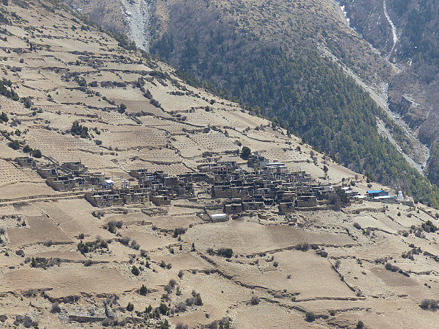
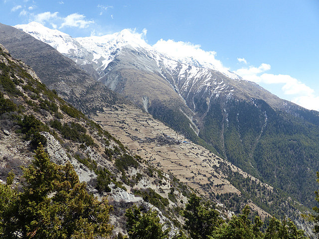
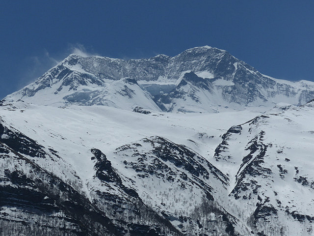
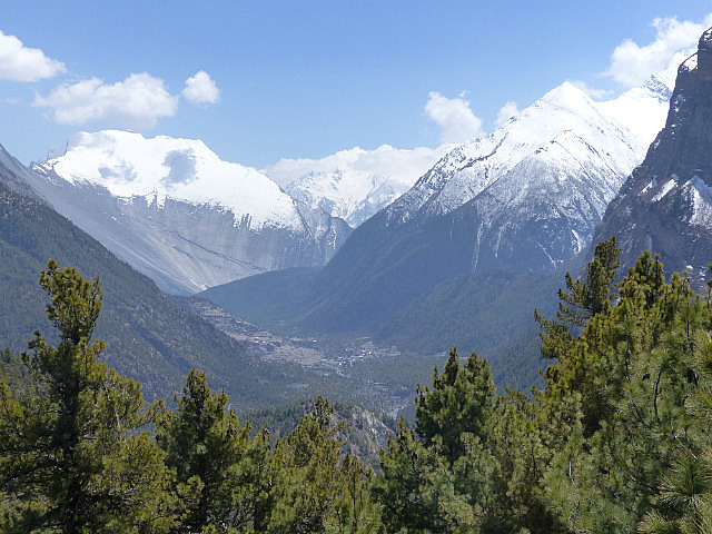
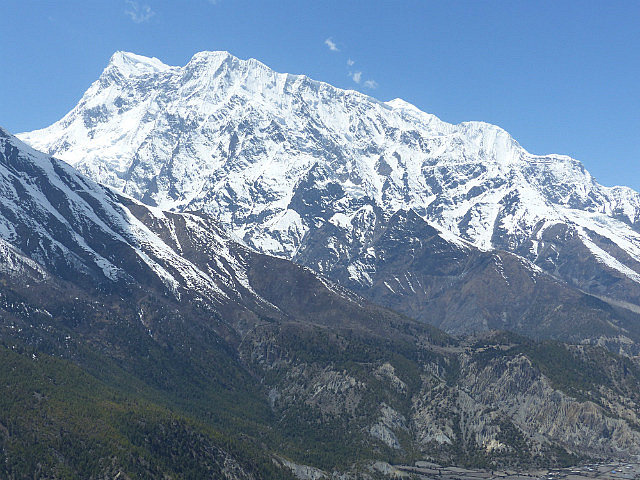
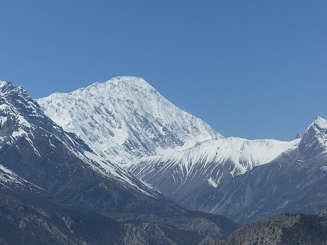
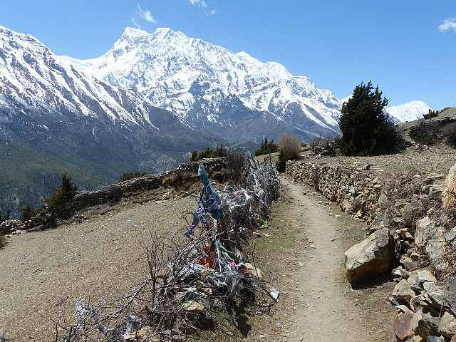
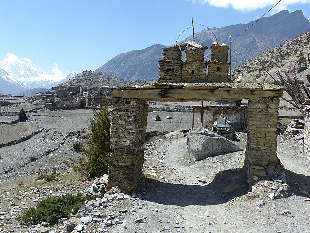
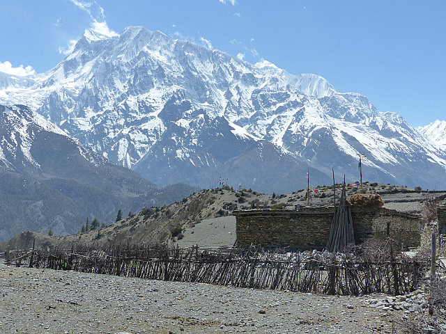
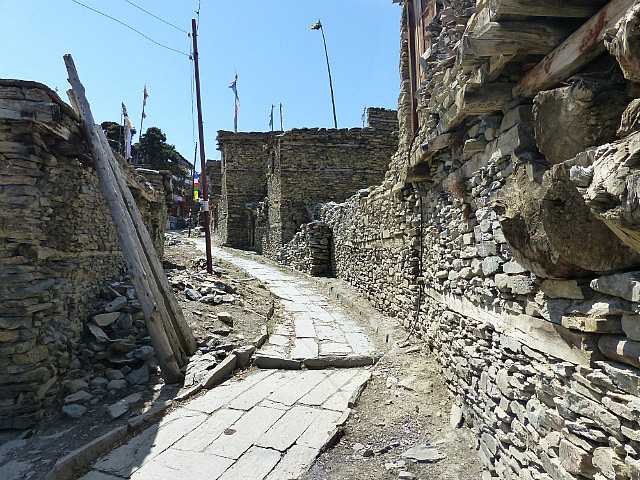
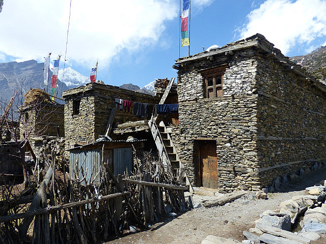
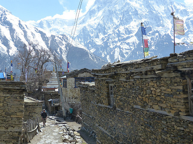
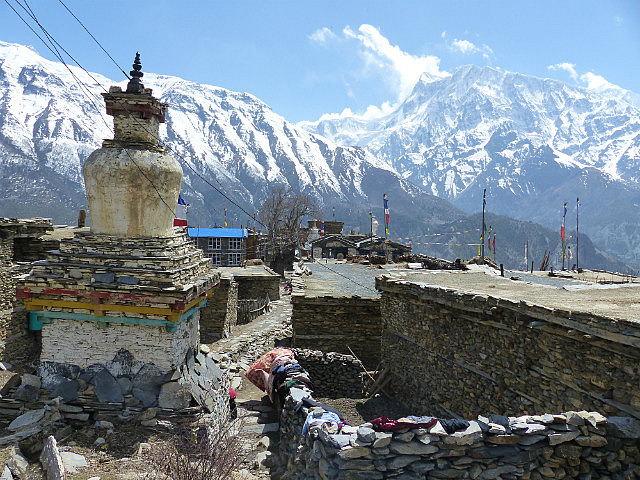
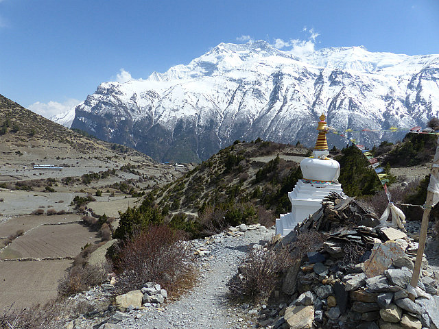
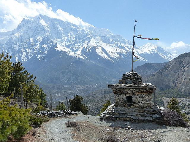
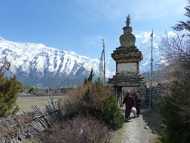
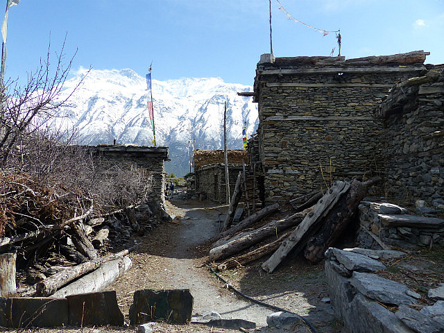
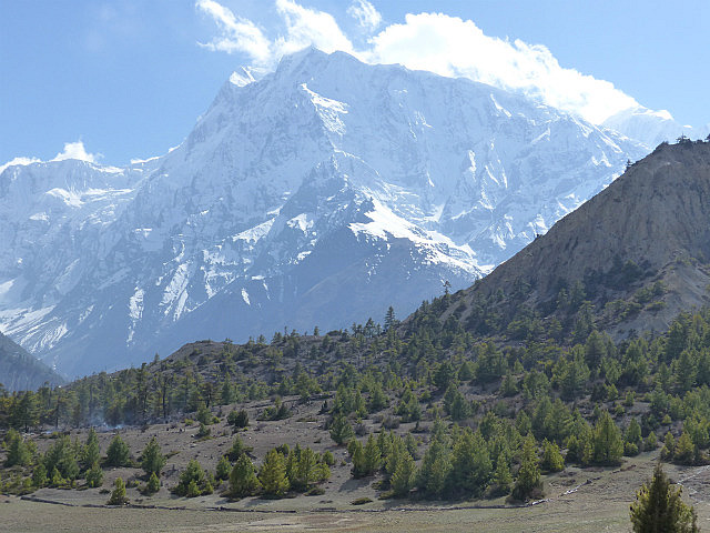
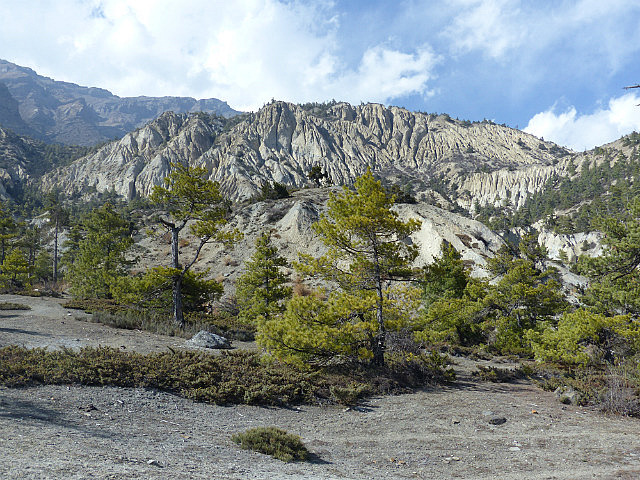
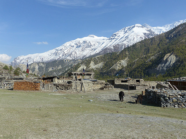
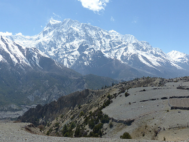
At the top of the switchbacks was a stone village named Ghyaru with stupendous views across the valley with routes traveled and yet to come in view for many miles. Everyone on the trail seemed to congregate there for a while for drinks and snacks and round after round of photos in some of the most incredible mountain scenery on earth.
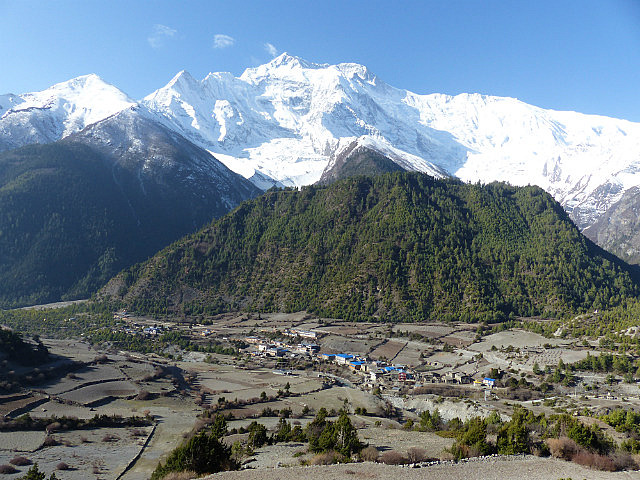
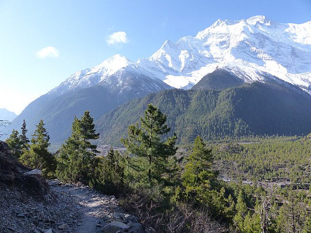
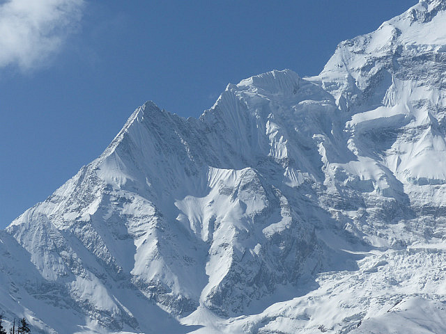
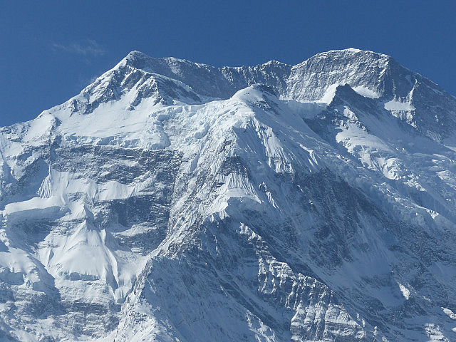
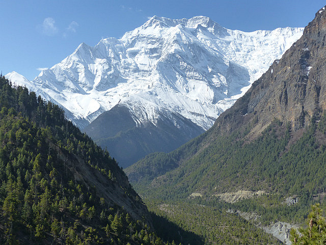
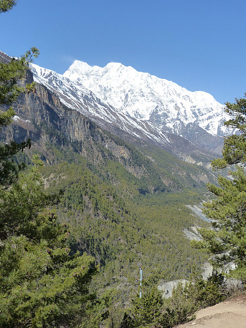
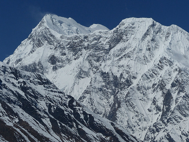
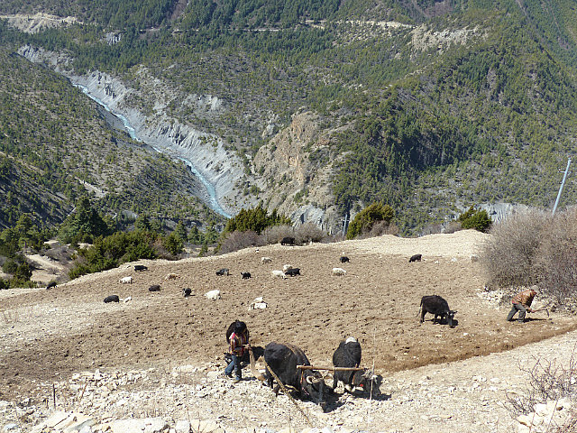
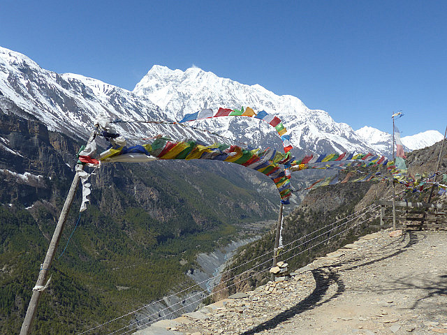
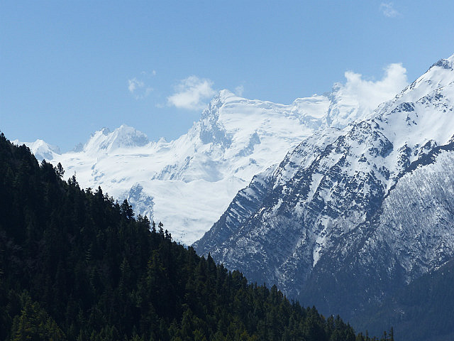
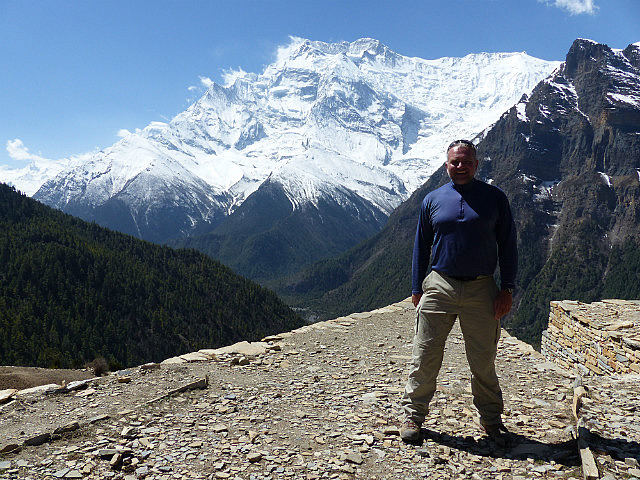
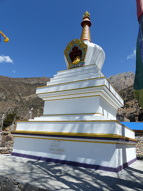
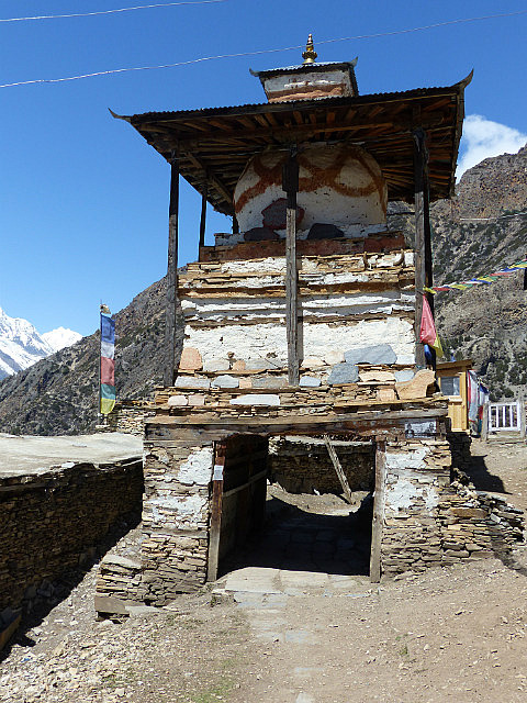
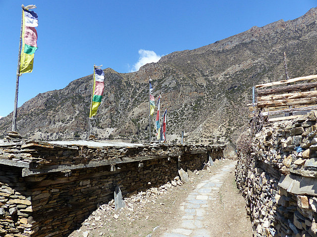
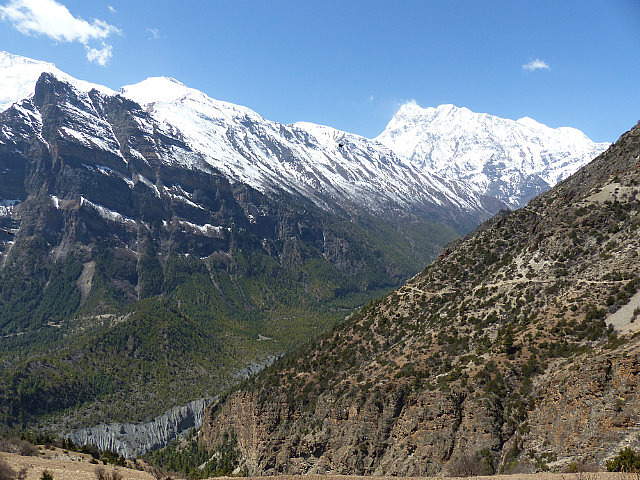
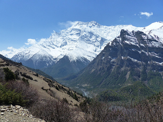
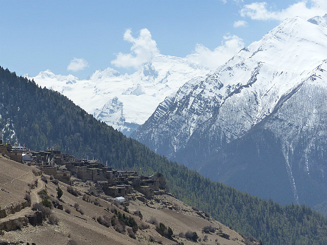
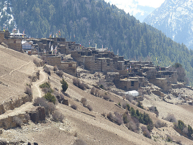
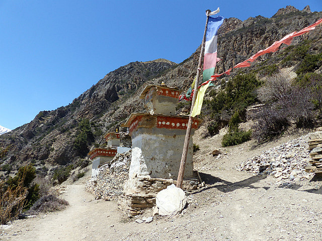
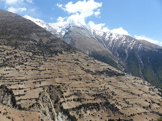
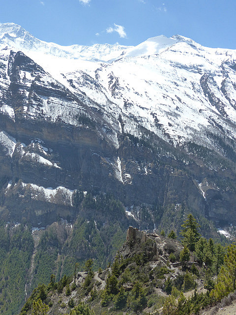
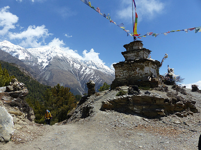
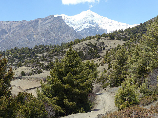
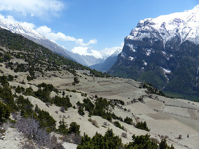
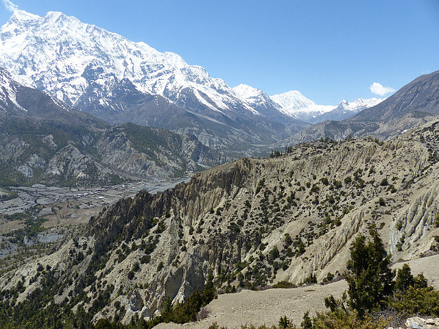
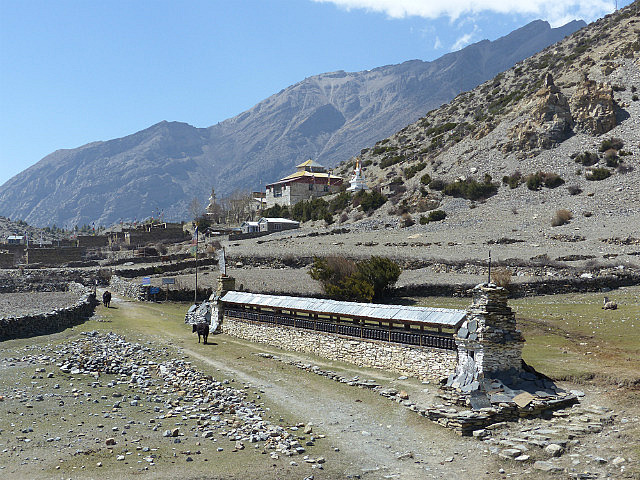
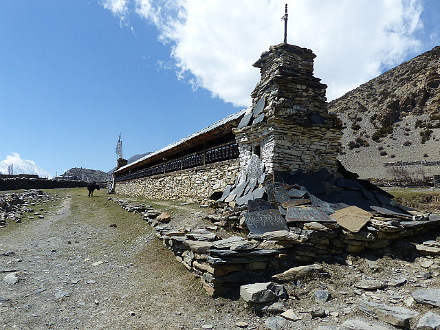
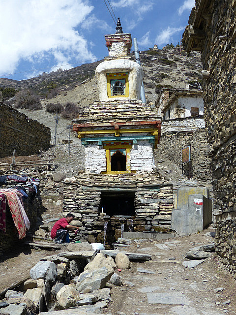
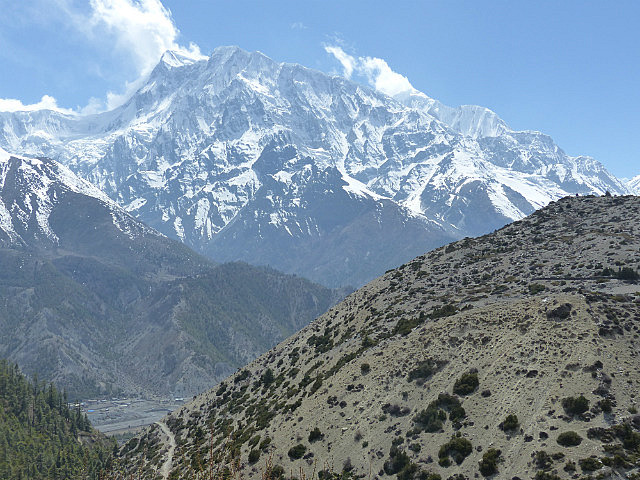
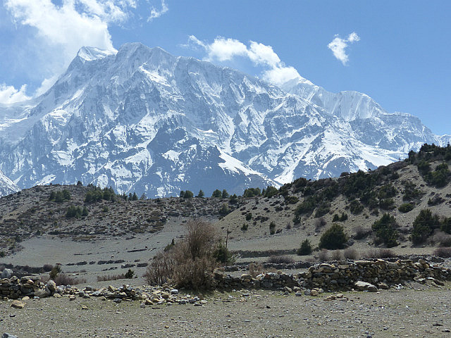
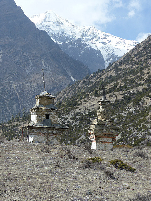
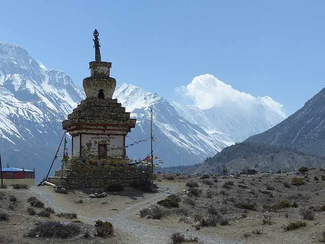
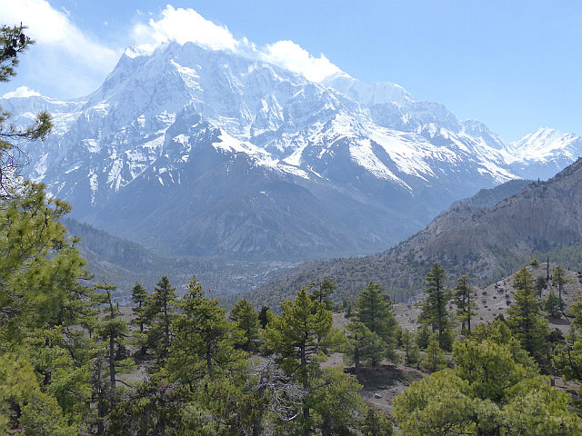
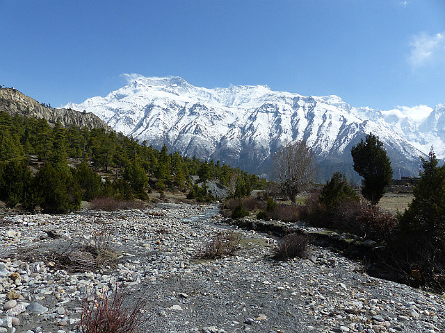
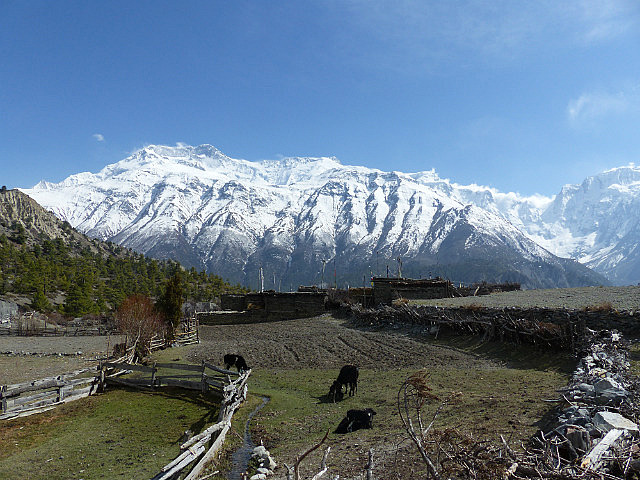
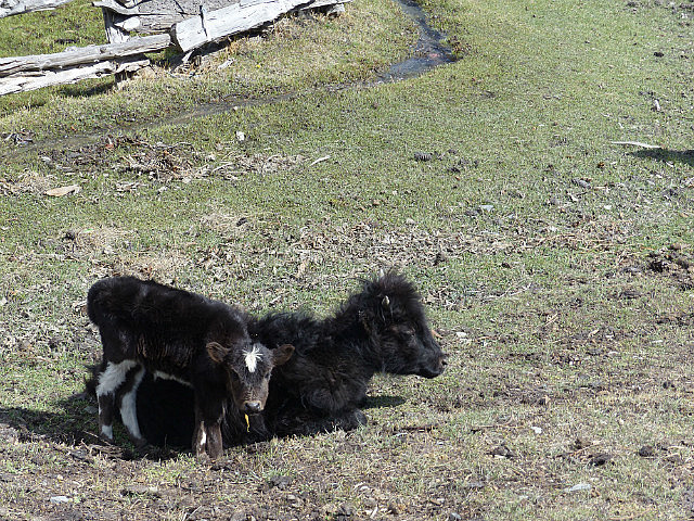
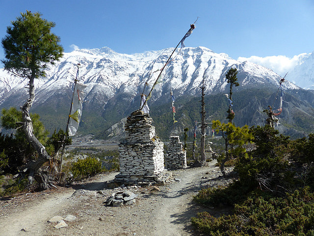
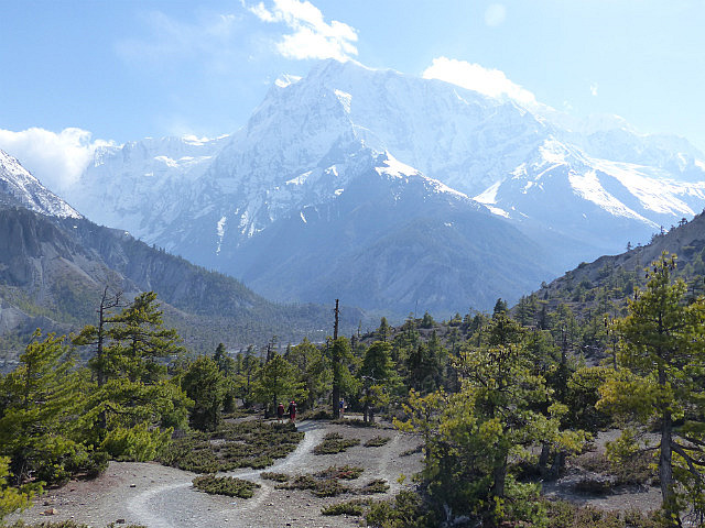
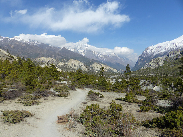
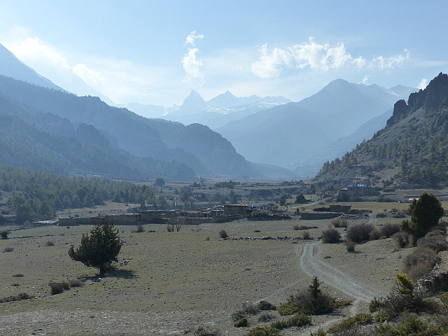
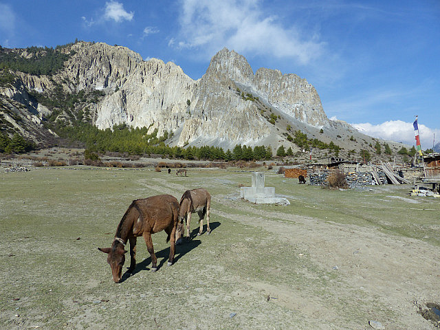
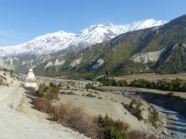
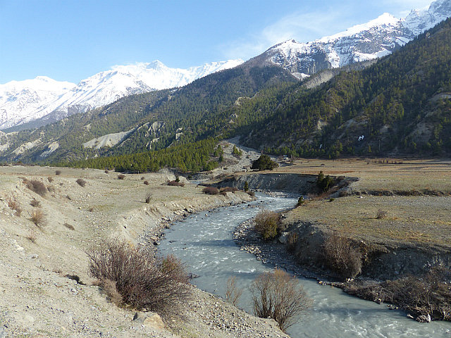
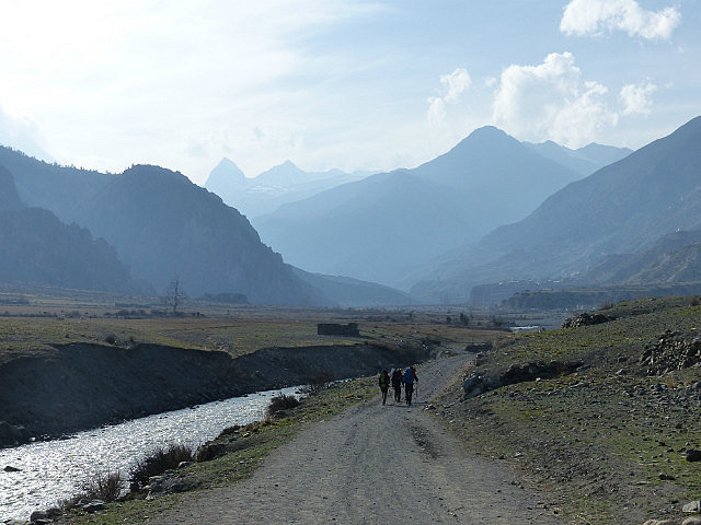
Being a tortoise I tend to go slowly, stop often to catch my breath, but not take long breaks, so I scampered off ahead of most of the crowd. The trail then followed the contours of the ridge high above the valley for another two hours or so, passing some small chortens and mani walls and a few ruined hilltop fortresses along the way. I stopped for lunch at the entrance to the next stone village, Ngawal, and continued through the dry pine forest and then down into the valley. I though once I got down it wouldn’t be far to Manang but took almost another two hours along the valley floor. Altogether the day’s trek took me about 10 hours (including stops) but included some of the most amazing scenery I’ve ever experienced, as evidence by the many hundreds of photos I took that day.
Annapurna Trek IV - High Road to Manang
Tuesday, April 15, 2014
 Manang, Nepal
Other Entries
-
Apr 132 days prior Chame , Nepal
 -
Apr 141 day prior
Upper Pisang, Nepal -
Apr 15
Manang, Nepal -
Apr 172 days later
Manang, Nepal -
Apr 194 days later
Manang, Nepal -
Apr 205 days later
Muktinath, Nepal -
Apr 227 days later
Jomsom, Nepal -
Apr 249 days later
Tatopani, Nepal -
Apr 2712 days later
Ghorepani, Nepal -
May 0217 days later
Pokhara, Nepal -
May 1328 days later
Kodari, Nepal -
May 1732 days later Tingri, China
 -
May 1934 days later
Everest Base Camp, China -
May 2035 days later
Lhatse, China -
May 2237 days later
Shigatse, China -
May 2338 days later
Gyangze, China -
May 2439 days later
Lungsang La, China -
May 2540 days later
Lhasa, China -
May 2641 days later
Lhasa, China -
May 2843 days later
Amdo, China -
May 3146 days later
Qinghai Hu, China


2025-05-22