 Elliston, South Australia, Australia
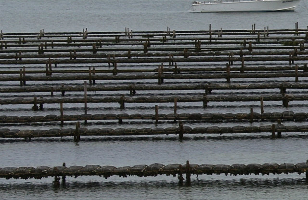
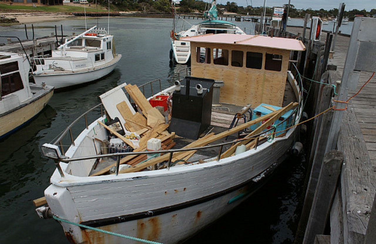
We left Port Lincoln at 8.45am, which could be labelled 'Our Usual Departure Time'. It seems to be about that time that we are ready to hit the road and move on! First stop was 'Coffin Bay'. Not much there really. There was plenty of holiday accommodation, a caravan park and a few shops. All overlooking the bay. We could also see a couple of the oyster farms not very far out in the bay. We made 'Coffin Bay' our morning tea stop. A little information on Coffin Bay: Coffin Bay is situated on the western tip of southern Eyre Peninsula and is 45 kms northwest of Port Lincoln. The town overlooks the pristine waters of Port Douglas, named after Captain Bloomfield Douglas. Port Douglas is an extensive bay system that includes Little Douglas, Mount Dutton, Kellidie, Yangi and Coffin Bays. The charming town is surrounded by sea and national park and is a nature lover's delight. Coffin Bay was discovered by Lieutenant Matthew Flinders and his crew on the Investigator on the 16th February 1802. Flinders after his return to England in 1810, named the bay after Admiral Sir Isaac Coffin, who as resident Commissioner of Sheerness Naval Dockyards in England had been responsible for the outfitting of the Investigator for Flinders voyage to Terra Australis.
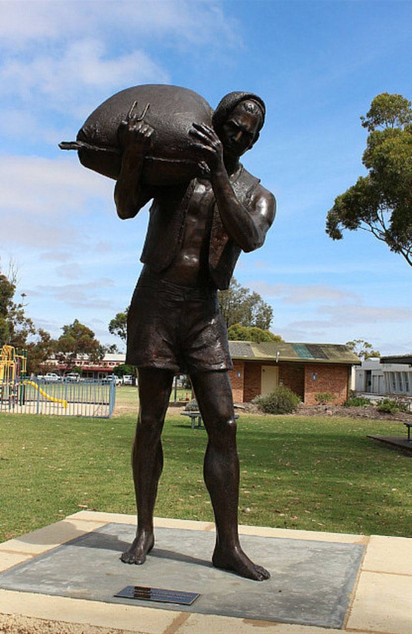
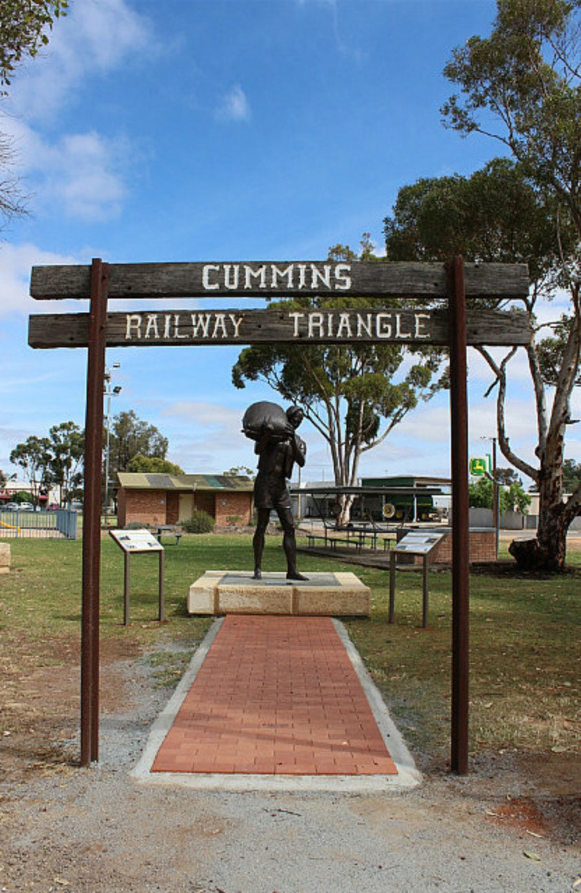
Flinders and his crew never actually entered the bay system which was left to others to investigate many years later.The open ocean lies 25 nautical miles from the main wharf. The population is only about 400 but swells considerably during the warmer months and holiday times.From there we came back 7 kms on the 'Flinders Highway' and turned left onto 'Tod Highway'. We had decided we would go up through Cummins for a look. We enjoy looking at the farming country. We didn't see much cropping though, as there was a 40 metre nature strip on either side of the road. The wildflowers were in bloom, so we did enjoy them. Especially the red bottle brush bushes. They were spectacular. There were also lots of tree grass plants and myrtles in flower. What crops we could see, looked very good. But there was evidence of salt degradation, which brings extra challenges in the management of the land. There was a bronze statue of a man with a bag of wheat on his shoulder in the Lions Park at Cummins.
We made a quick pullover. It was a tribute to the pioneers of the grain industry. Bulk storage facilities were built on Eyre Peninsula in the late 1950's. Prior to that bagged wheat was stacked 22 bags high, before it was railed. Lumbers were capable of loading 26 bags per minute onto the rail trucks. Once in Port Lincoln the 'lumping' started again. There was a sign on the entrance to the park saying 'Cummins Railway Triangle'. Not sure why it was called that, but on a little research I think I read more into the name than I needed to. I thought there may have been a railway triangle bringing grain to the central point of Cummins! But I think it is the name the community came up with for the park and they would have their reaons why! A little like 'Caby' in Yuna! When we got to Elliston we were talking to the manager about farming and he said Cummins is a very reliable farming area. These days a lot of grain is carted through to Port Lincoln, rather than to Cummins. It's the same all over.
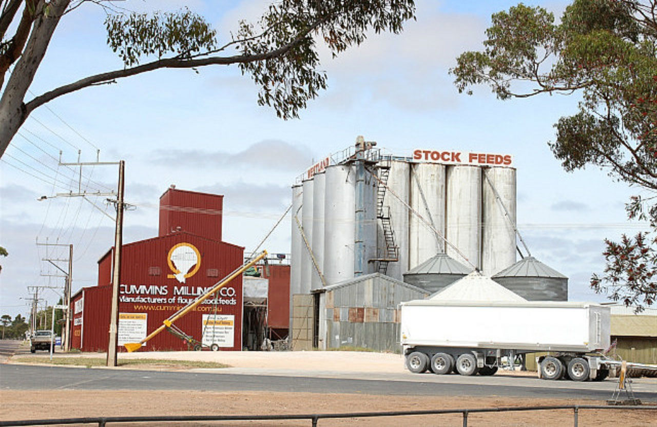
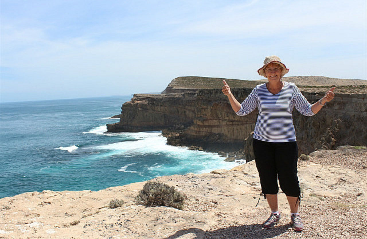
Grain was being delivered to Viterra in Cummins, so they had started harvest in the area. There is also a large flour and stock feed mill nearby. We headed west again from Cummins and we were able to see a lot more crop on this road. They looked very good and there has been many a 'farming comment' from the driver. He is pleased we have come this way. We stopped at 'Cummings Memorial' on the cliffs of the Great Australian Bight. A chap named Leo Cummings lost his life in a tragic accident whilst pulling cray pots, just off the cliffs in 1959. The other two on the boat, father and son, managed to get to shore. Leo's body was never found. We walked the 500 metre's up to the monument. Jenny had told me you could drive up there, but when we saw it was 500 metres, we thought the walk would do us good. And we are sure it did! Interesting that no one that drove up there for the fantastic views from the cliff top, stopped to view the monument. The carpark is a little further down, but the largest turn around area is at the monument.
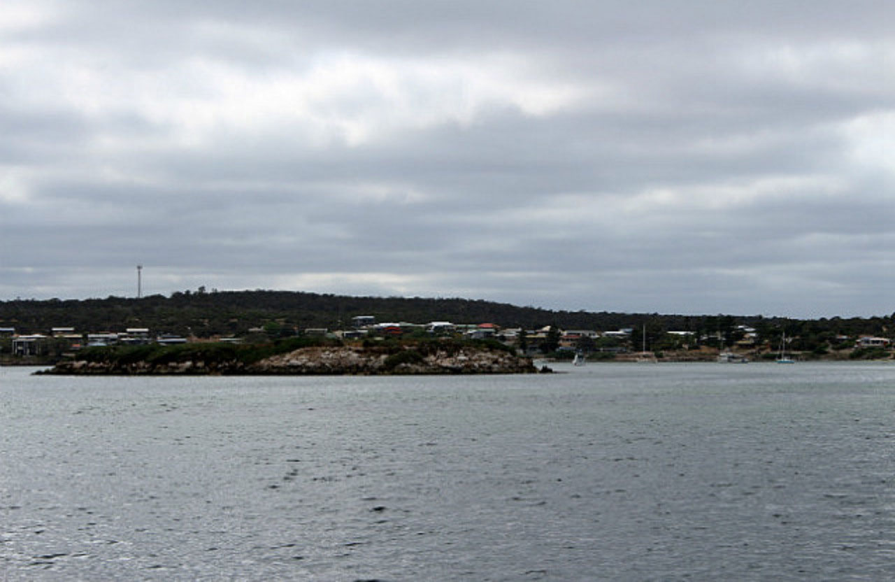
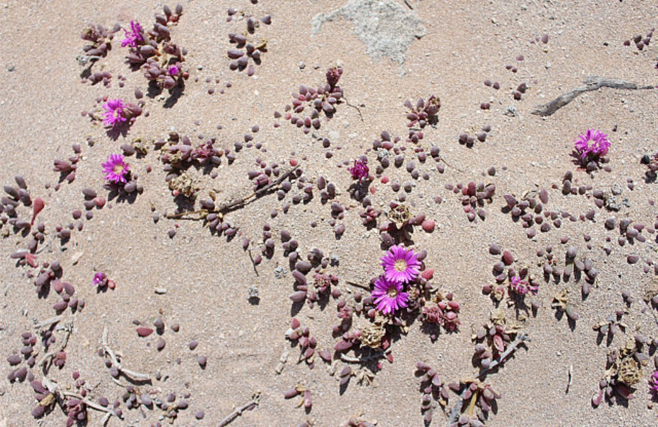
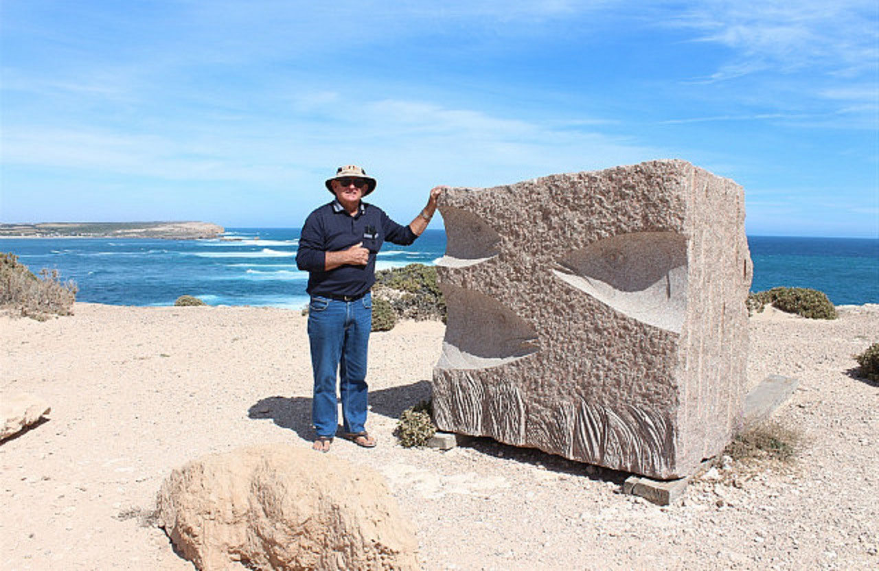
And we felt that the best views were from the cliff, a little west of the monument. As we walked across to the carpark, I took a few snaps of the little bushes in flower. It is amazing the natural bush. They always manage to get a flower or two out, wherever they are growing. We had lunch when we got back to the rest area and once we were on the road again, the countryside changed dramatically! It became extremely rocky. It was only suitable for grazing and 'Farmer Pete' reckons only 1/2 a sheep to the acre. Maybe I should have said 'Ex Farmer Pete'. I think more accurately I need to say 'Retired Farmer Pete'. The 'Farmer' will always be with him!We arrived at 'Elliston' before 2pm and there was the temptation to have a bit of a look around and keep going. But that would have meant next stop was 'Streaky Bay' and the chances of getting in without booking was possibly slim. The chance of there being plenty of wind again in Streaky Bay was probably high! When we stayed at 'Streaky' in January, it was so windy! So much so, it was hard to enjoy the stay.So 'Elliston' it is for tonight. It is a Top Tourist Park and the couple managing it at the moment are farmers from Wallaroo on Yorke Peninsula. They did manage the caravan park at Wallaroo and farm at the same time. They have leased their farm now and are travelling. Whilst doing so they are doing relief management of parks. They've only been here a few weeks and have also been to a park in Tasmania this year. We had quite a chat and he was able to answer all our farming questions. He said the Cummins area is now all cropping. They were under water during the growing season, so Pete's comments re the crops being a nice colour and that they had finished off well, were spot on!After a cuppa it was off to explore Elliston. They have a 'Great Ocean Tourist Drive'. There are four sculptures on one section of it. They are okay and I guess it does keep the tourist interested while driving the cliff top. Some are a bit average though! I have since found out that the 'Scupltures on the Cliff Top at Elliston' happens every second or third year. Some of the sculptures have been left there, hence my thoughts about some being a bit average! We walked out on the historic jetty. The jetty is heritage listed primarily for its use in the shipping of wheat and wool from the area. It was built in 1900 and is one of only three jetties constructed of steel pylons that has been screwed into the seabed. This was done by horse-drawn winch.

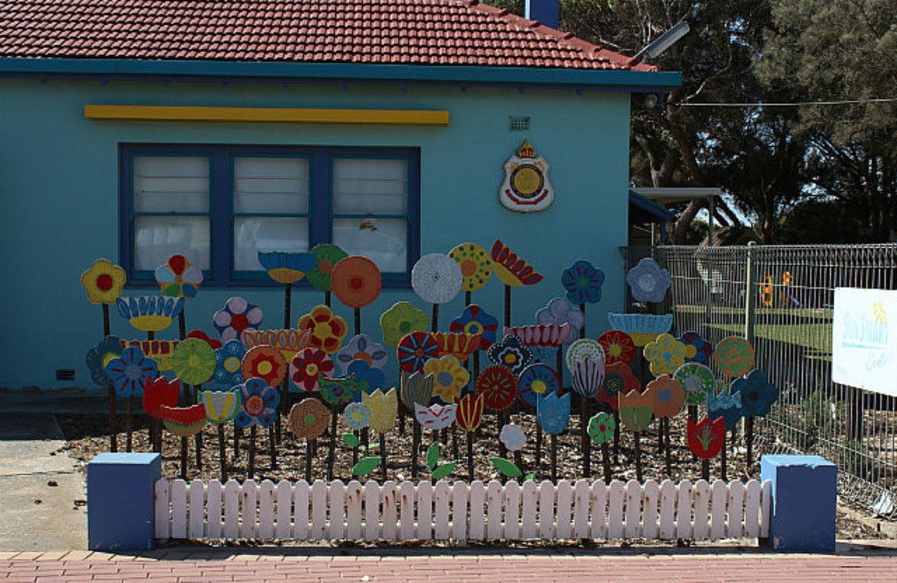
A bit of a drive around the small town completed the tour. I thought the flower garden at the 'Children's Community Centre' was a bit cute. It is something that could possibly be a project for playgroup in Yuna. 12 photos


2025-05-22