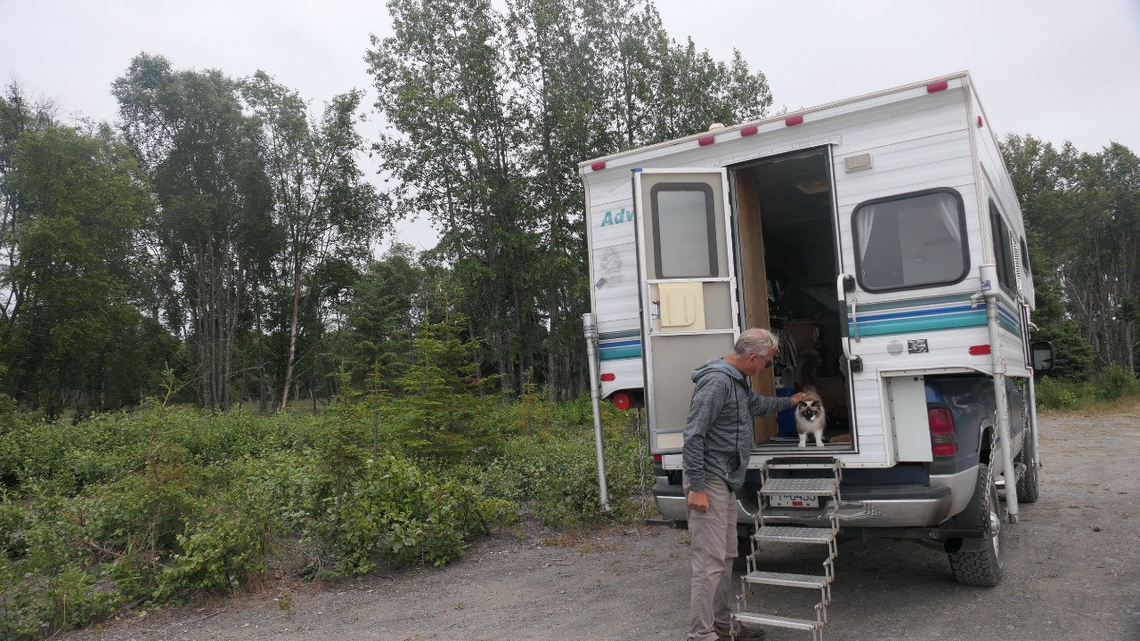
 Soldotna, Alaska, United States
Sterling Highway - Soldotna
Along the Sterling Hwy
We are now driving the Sterling
Highway all the way to the end of the road – yes it is literally a dead end on
the Holmer Spit.
- The Sterling Highway connects Anchorage to Homer and is 142 miles long and got built in 1950 and follows the Kenai River – it was surveyed by Hawley Sterling
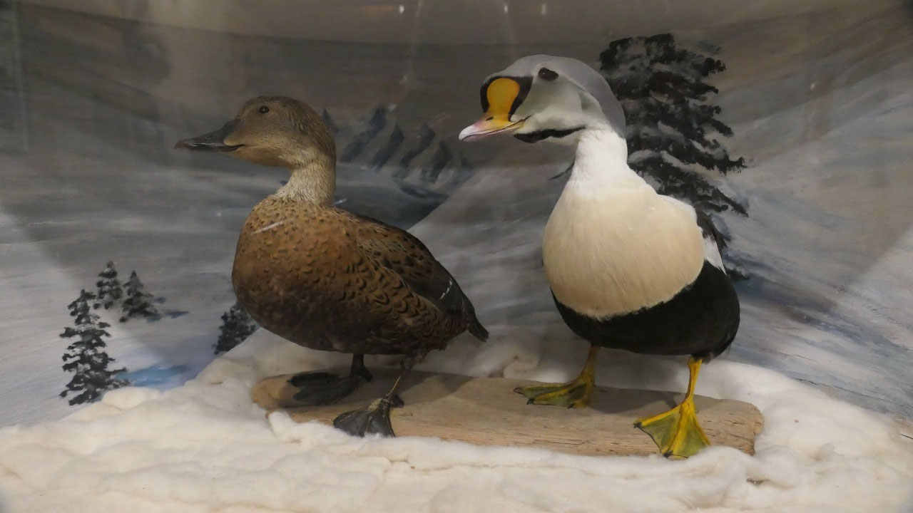
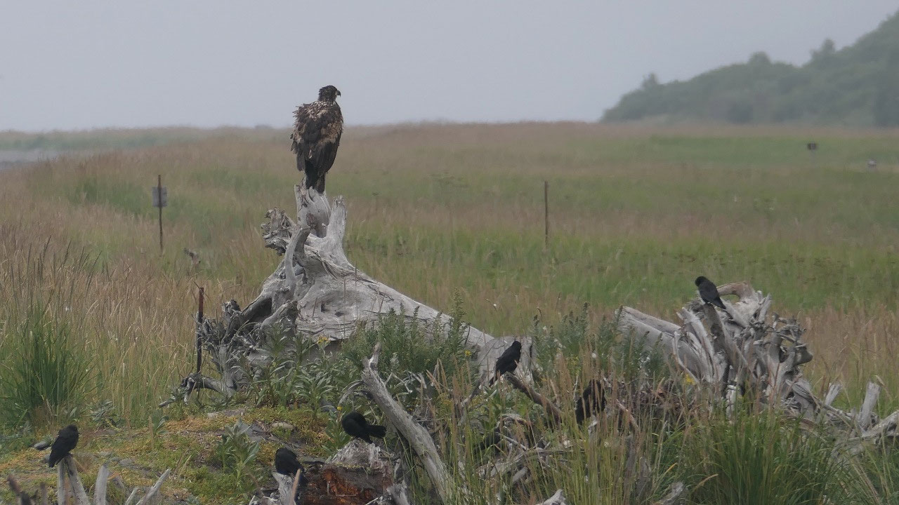
- Along here you kind find some of the best bird watching and fishing anywhere in the world
- On a nice day (no that is not today) you can see 3 vulcanoes on the other side: Mt Augustine erupted in 2006 sending the ash 8 miles up in the air, Mt Redoubt erupted in 2009, Mt Spurr in 1992 and Mt Iliama in 1876: guess the ring of fire is still active. (By the way the ring of fire has 75% of the worlds active vulcanos – it is going around the pacific plate)
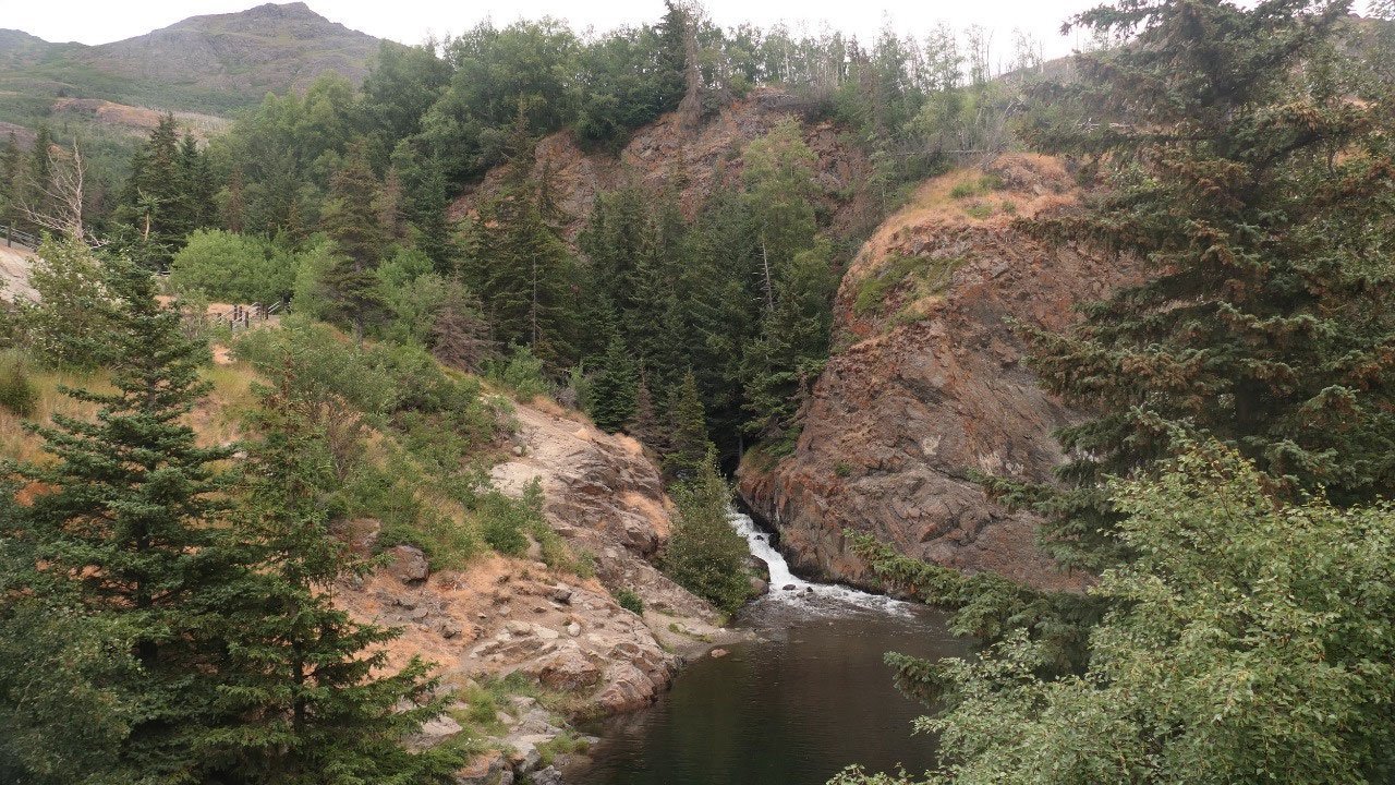
McHugh Creek State Park
- At one time here was a construction campsite for the railroad – every 7-10 miles was a camp as the building of the railway here was quite difficult
- They had to carve benches along the hillside and then fill other lowlands: they did it year-around, as they said the rock is not harder in winter: with blasting millions of cubic meters of rock this was the costliest part of the railroad
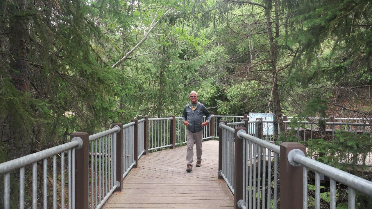
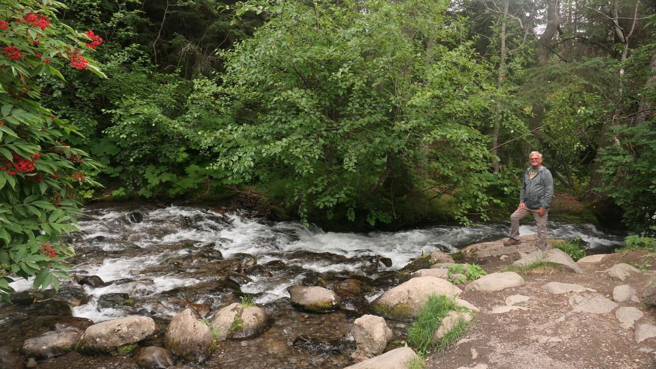
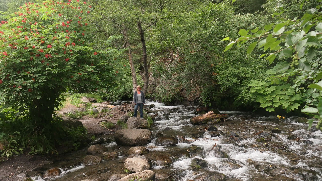
We leave right after coffee and
stopped soon later at the McHugh Creek State Park; we went to the very top
parking area to have a nice view on the ocean and then walked along the Creek
for a bit until we were ready to have breakfast. On the way out we stopped at the bottom to
check out the waterfalls.
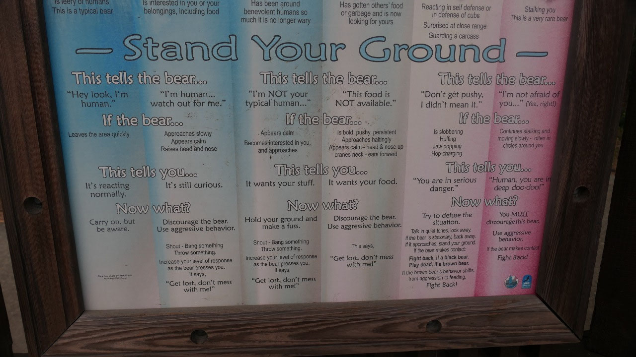
Here we also learned about bear
-safety, it is actually super simple:
- Low risk is if you choose to hang out at the mall, then there is no risk because there are no bears and you can be a dumb as you want about bears
- High risk would be if you choose to wound a bear, get near a cub or approach a bear’s killing, then your risk would be that you through away all rule books as the bear is unpredictable and they may also aggressively protect their food or their cub and what should you do: back away from an animal carcass back away as the bear is maybe close by, be very cautious and if you have a firearm – make sure you know how to use it
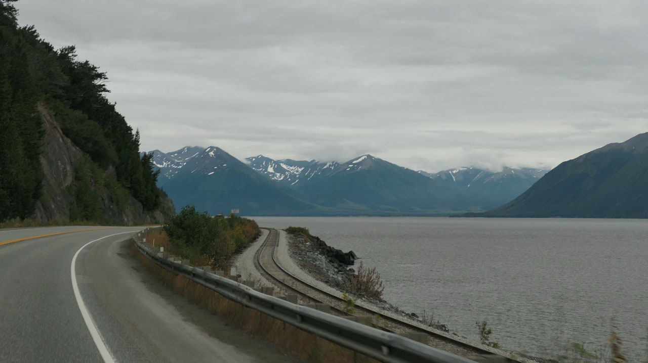
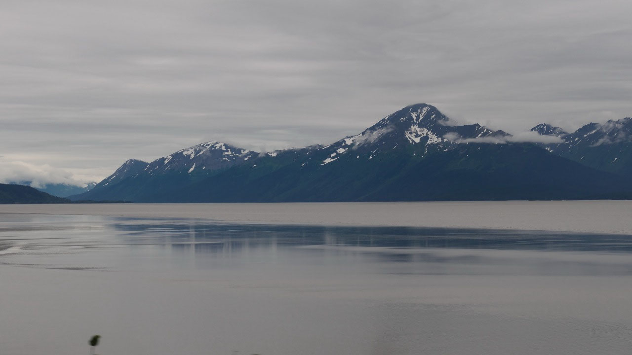
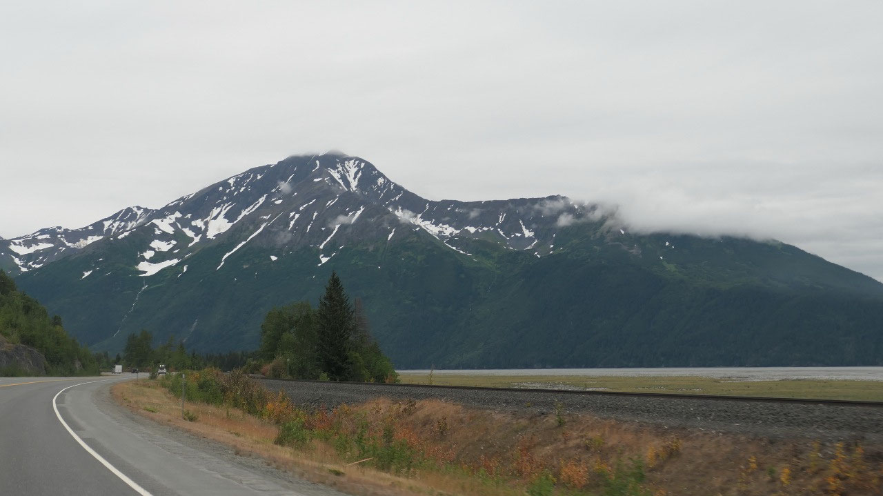
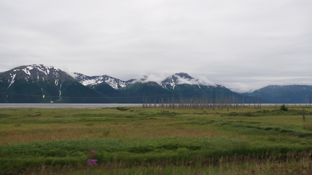
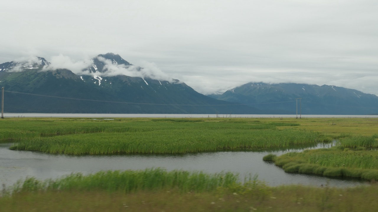
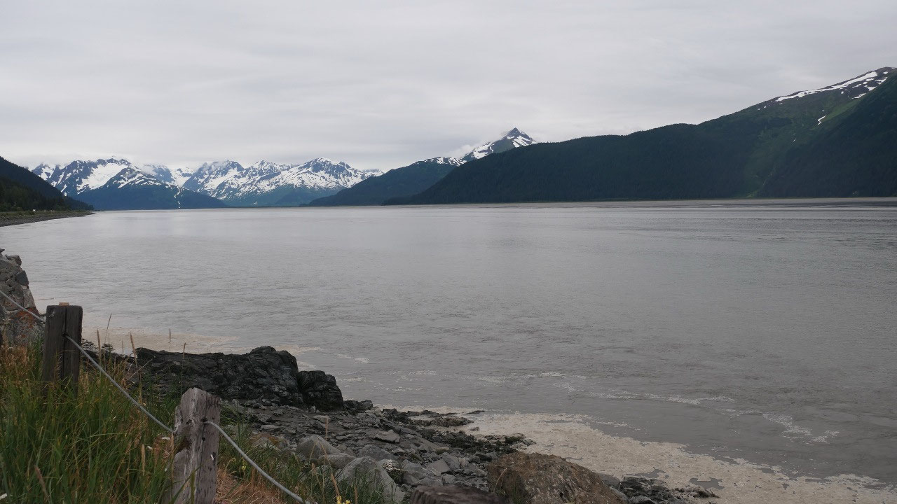
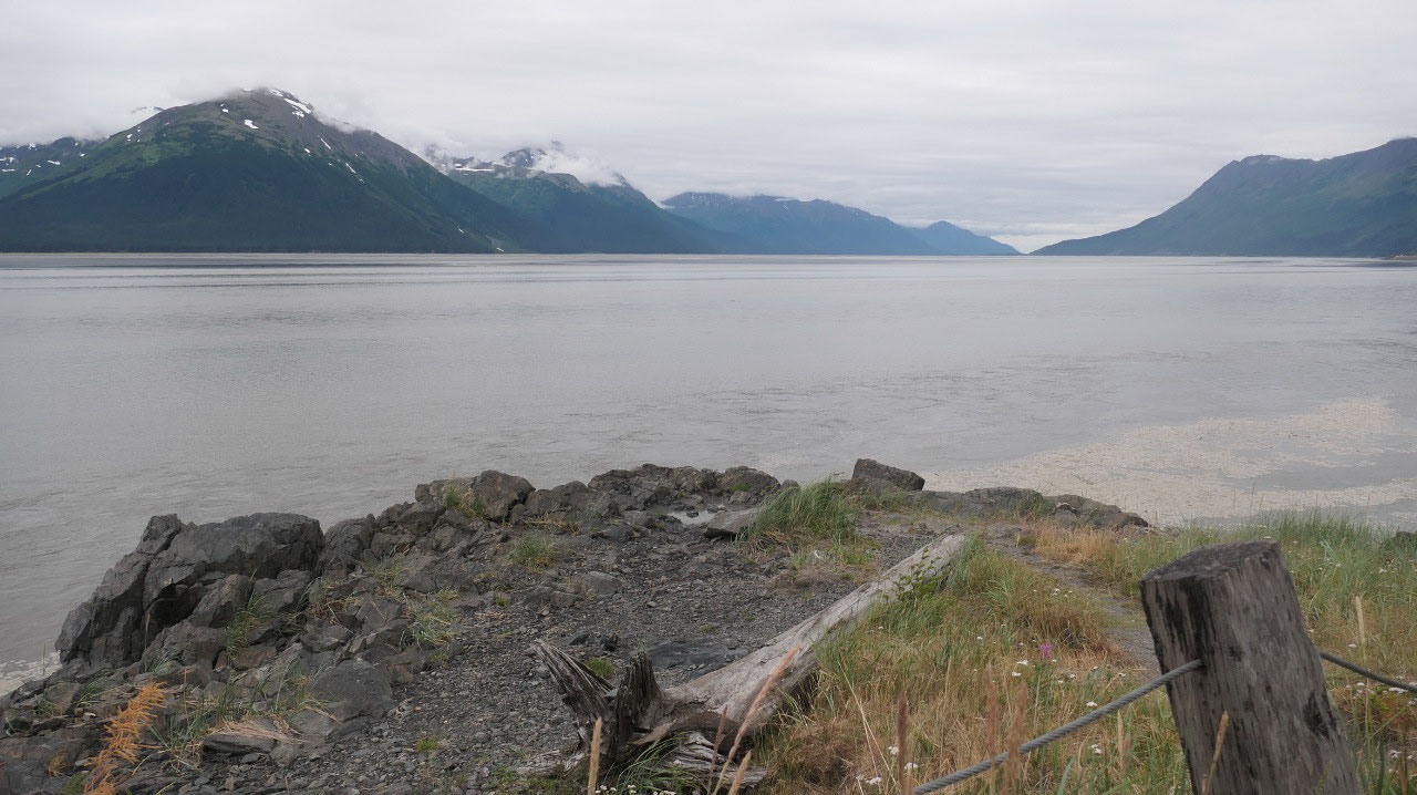
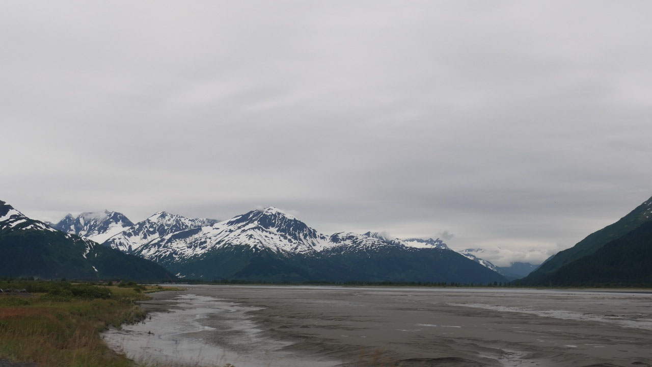
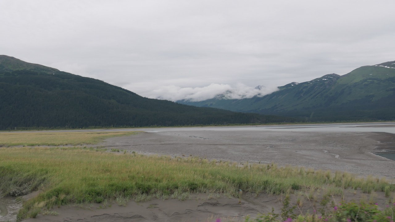
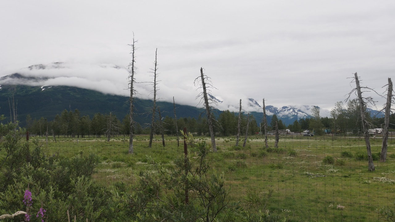
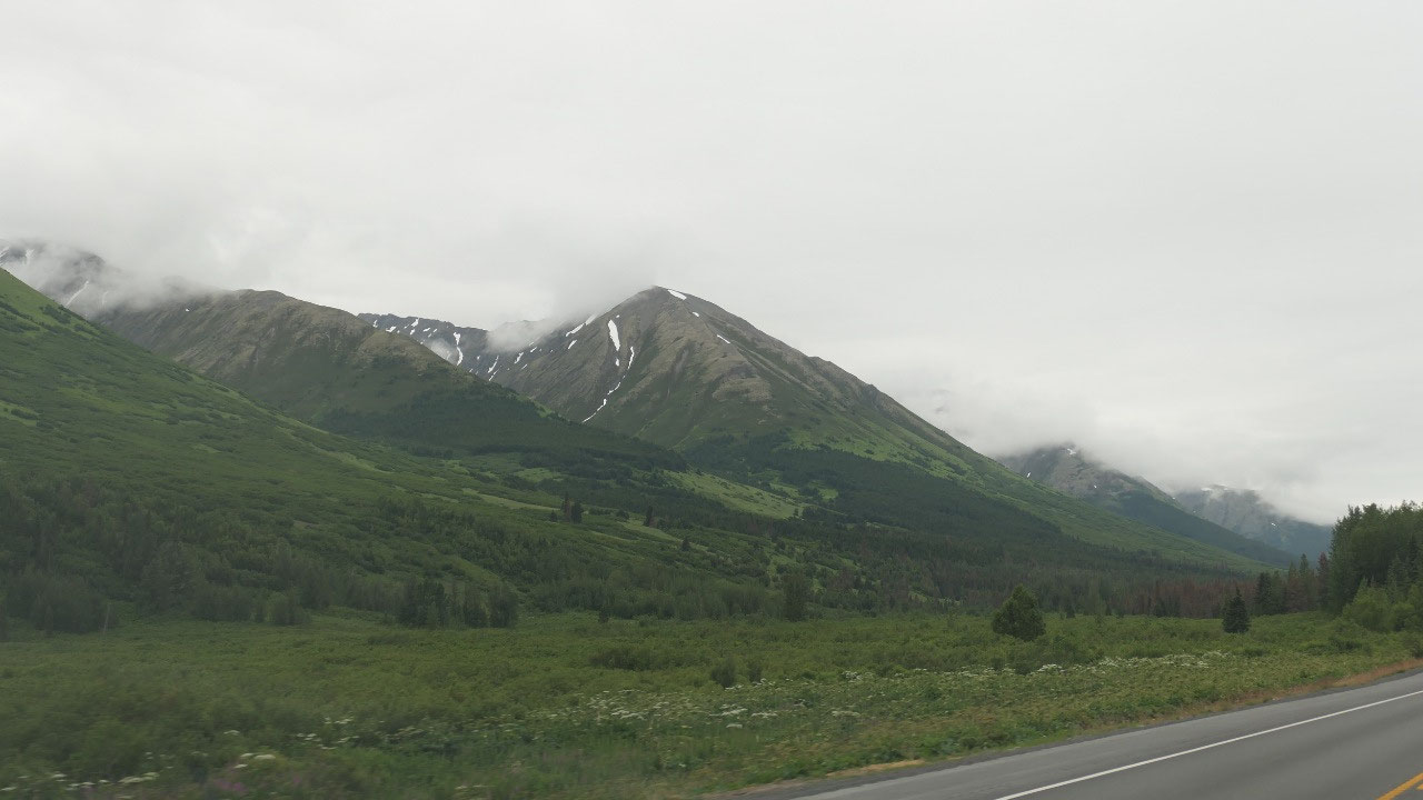
Along Turnagain Arm

- The Turnagain Arm is known for having one of the World’s high tides with a diurnal range of more than 33 feet
- You can see the bore tide: which is an abrupt rise of tidal water just after low tide moving rapidly landward formed by a flood tide surging into constricted inlet like the Turnagain Arm this foaming wall of water can reach up to 6 ft in height and is dangerous
- Most of the drive we are in the Chugach State Park
- Also we learned that the 1964 earhtquake really changed this area: the town of Girdwood and Portage caused the area to sink 8-9 feet and the towns were underwater, then saltwater killed trees.
- Recentle the spruce beetle – and yes we can see here a lot of beetle infested red trees increased in the last years fast with the warmer weather in the area: the beetle larve eats the bark and then the tree dies
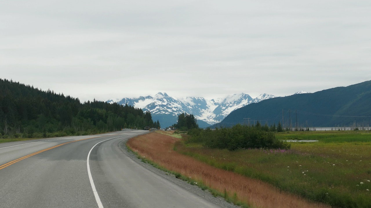
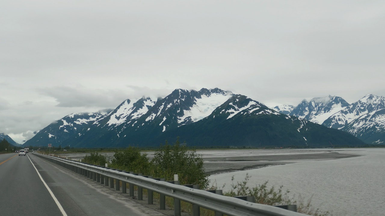
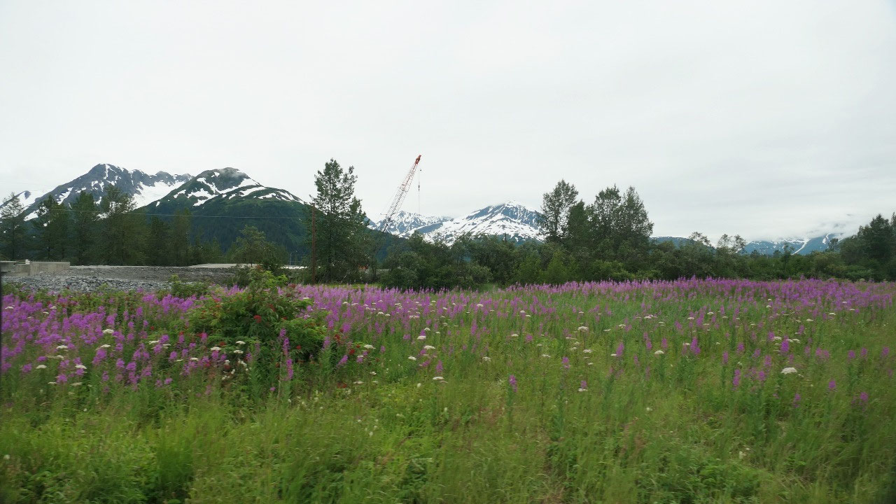
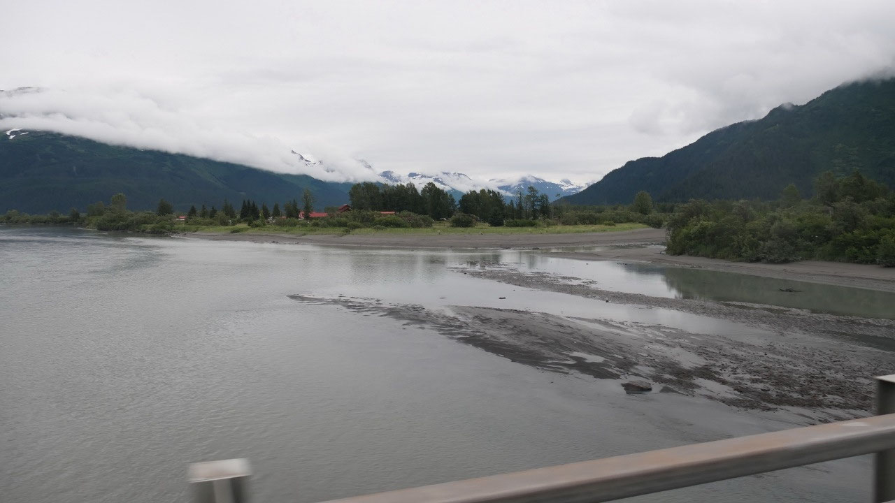
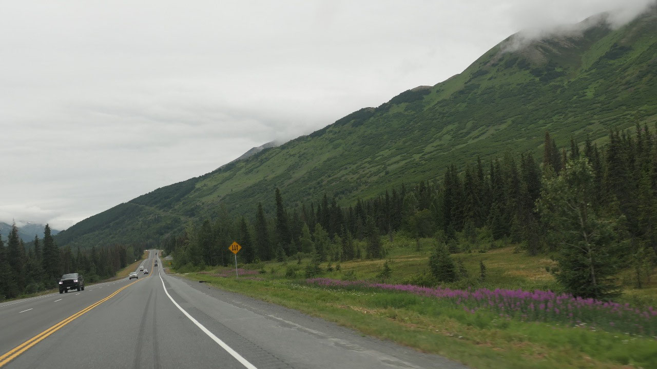
Today we are driving south along the
Turnagain Arm: an inlet from the Cook Inlet – the road nearly always goes right
along the ocean so we have wonderful views on the snow-capped mountains and the
ocean. So yes we did had to stop a few times to have a closer look: on the
ocean and the Kenai mountains. We also saw a lot of muddy areas which are kind
of weird to see.
I may should mention that it is not
warm at all today!!! When looking at the calendar it is middle of July and
looking at the weather I think it is winter!! (I think Paul and I we both
decided that this is too cold for a summer for us)
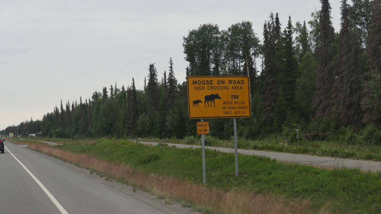
One thing is for sure on our drive
today we discovered that here it is way more busy on the roads – lots and lots
of cars.
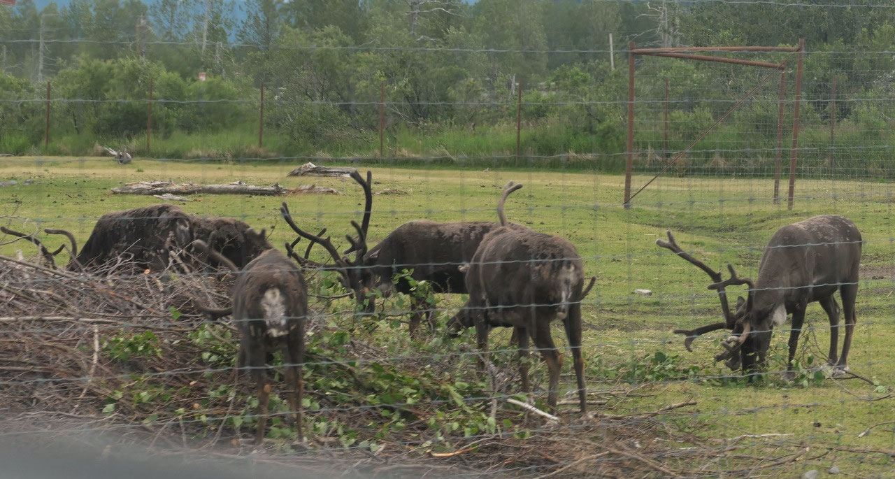
At the end is the Wildlife
Conservation area, but when we learned on how to pay and what we will see we
decided to skip it – but there are surely a lot of buses here!! But on the way
out, we still did see a black bear and some caribou
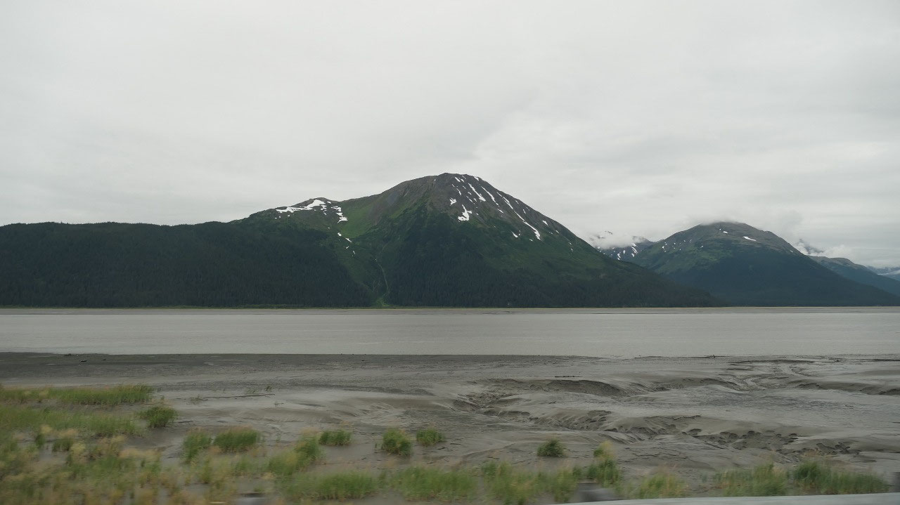
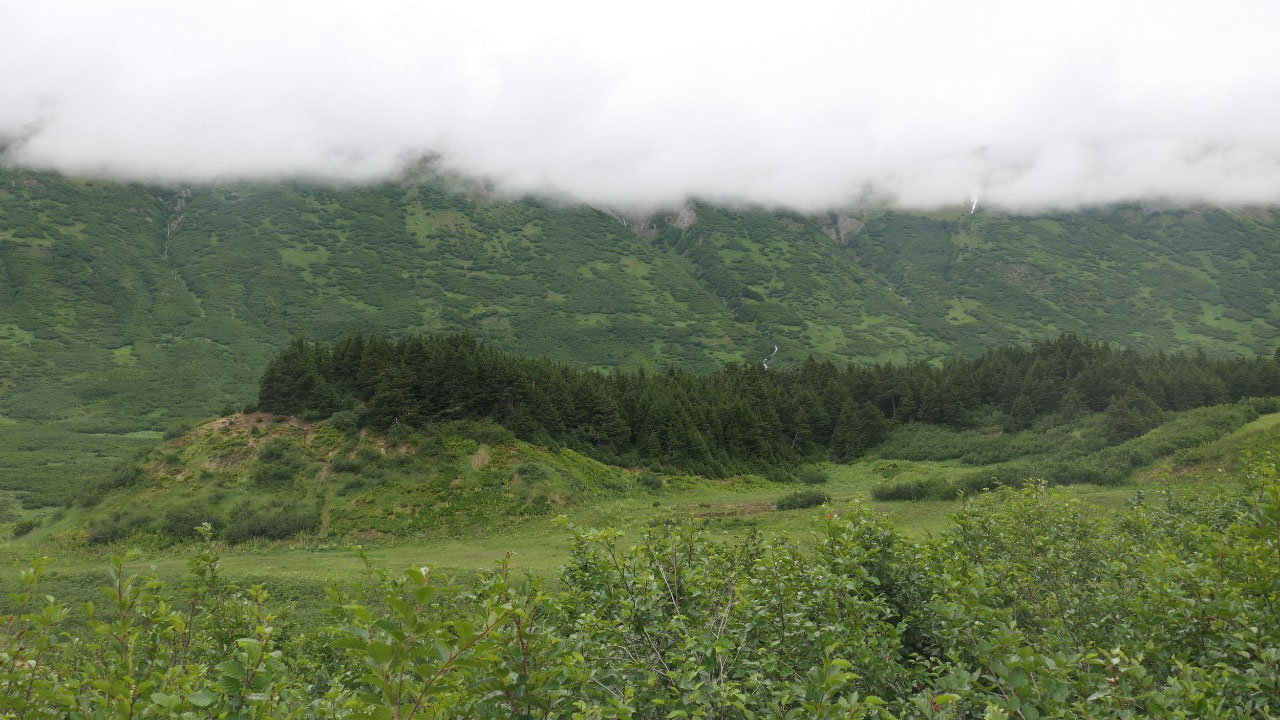
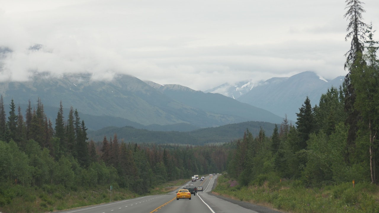
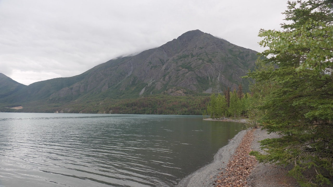
Turnaggen Pass
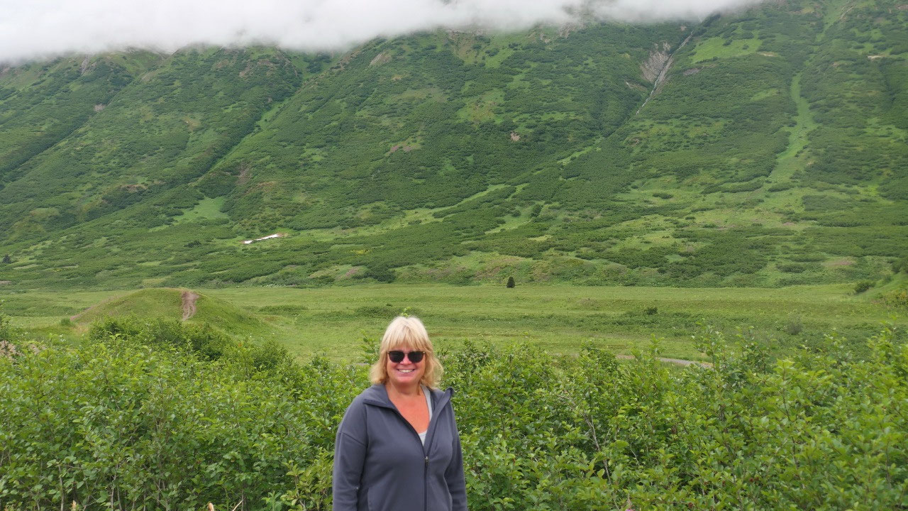
The mountains here are really
different: they are super green and no trees at all – it looks like all shrubs
and grass like – very unique to see it a bit better we stopped and also met two
Chinese couples who never saw a truck and camper and had a lot of questions.
Coffee at Tern Lake
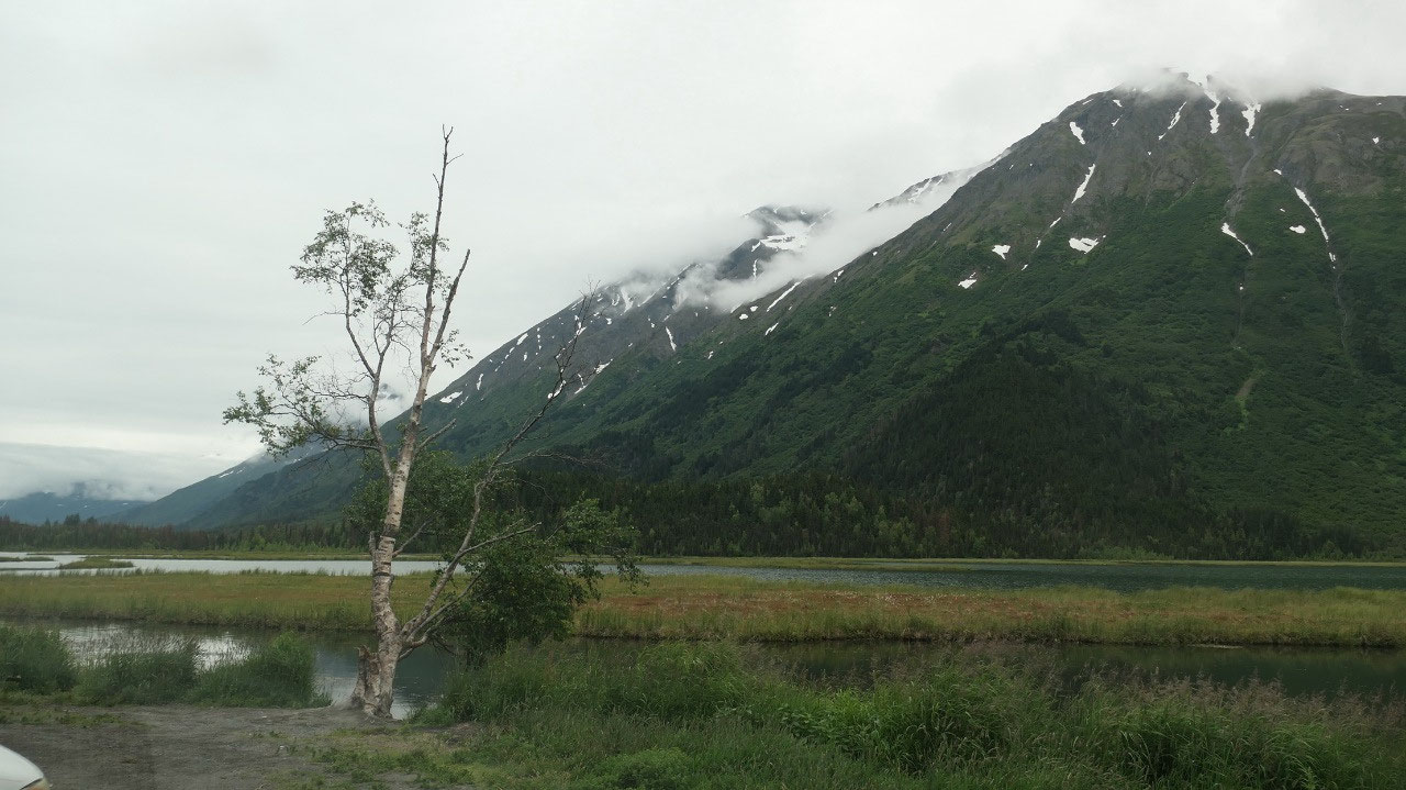
As we continue on we see a lot of
campgrounds here and a lot of fishing signs – but then we learned earlier on
our trip if you come to the Kenai Peninsula you come to fish, as the Kenai
river is the best place to fish in Alaska. And we are now in the high season of
fishing – the salmon returns!! We decided it’s time for coffee and stopped at
the Tern Lake. There is a day use area where you also can watch the Salmon –
except the there is no Salmon and there is no view, so as always we went to a
no-name parking lot with some great views and not where they think is a view (when
there is none).
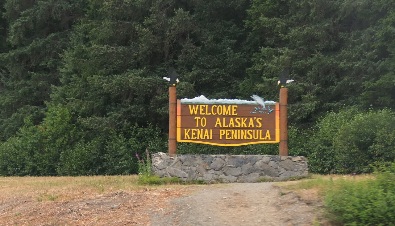
We are on the famous Kenai Peninsula
- It is also called Alaska’s playground (but only if you are into fishing – because everyone here fishes!!! – it’s like you can’t do anything else)
- The name comes from Kenaitze – an Athabascan Alaskan Indian tribe
- The first nations called it “Yaghanen” – the good land
- James Cook sailed up here in 1778 and named it after himself: the Cook Inlet, he landed near present day Kenai
- The first settlers were Russians at the mouth of the kenai River for fur trading in 1791
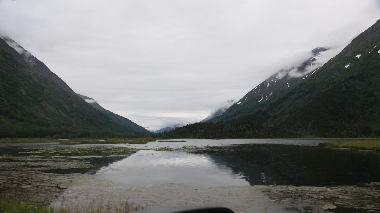
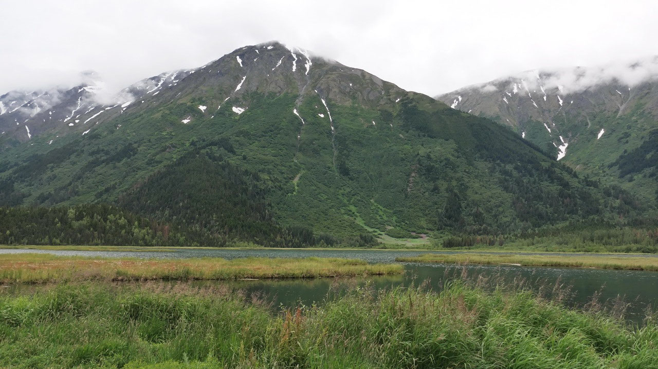
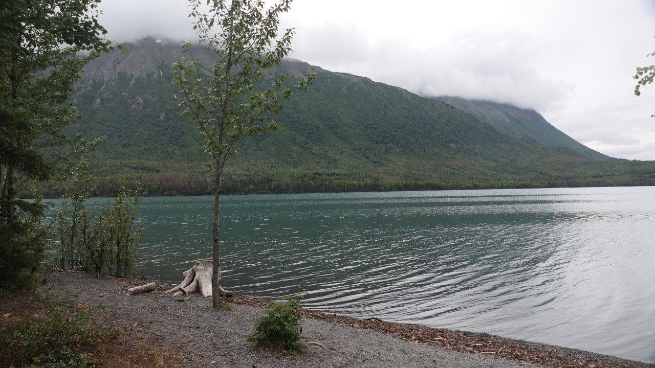
Kenai lake would be nice in the sun
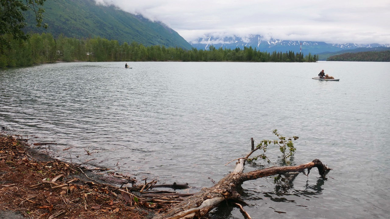
We did stop at the Kenai lake and
discover that nearly all spots are reserved – it is cold but the lake would
look amazing in sunshine and likely would be perfect to relax or paddleboard if
it is warm (now big question when is it warm if not in July!!!!) . As we drive
here, there is the Kenai Princess Wilderness Lodge and we decided to quick
check it out.
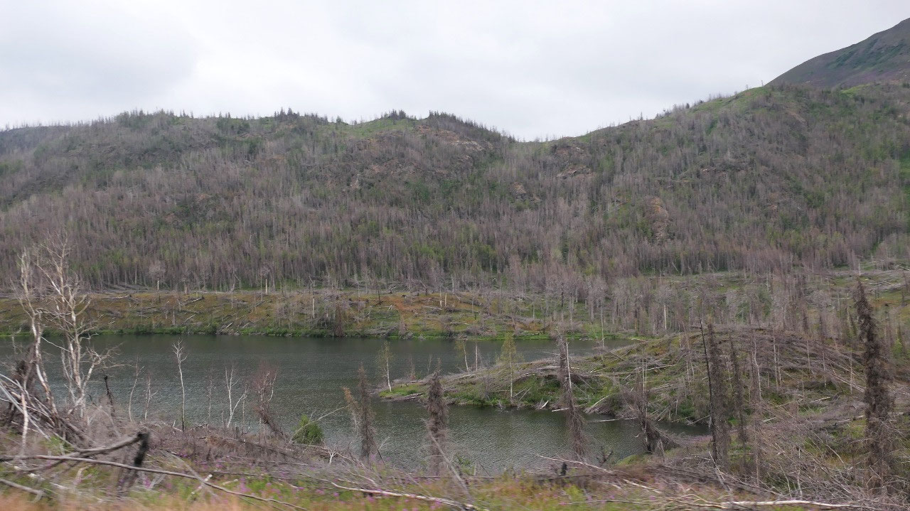
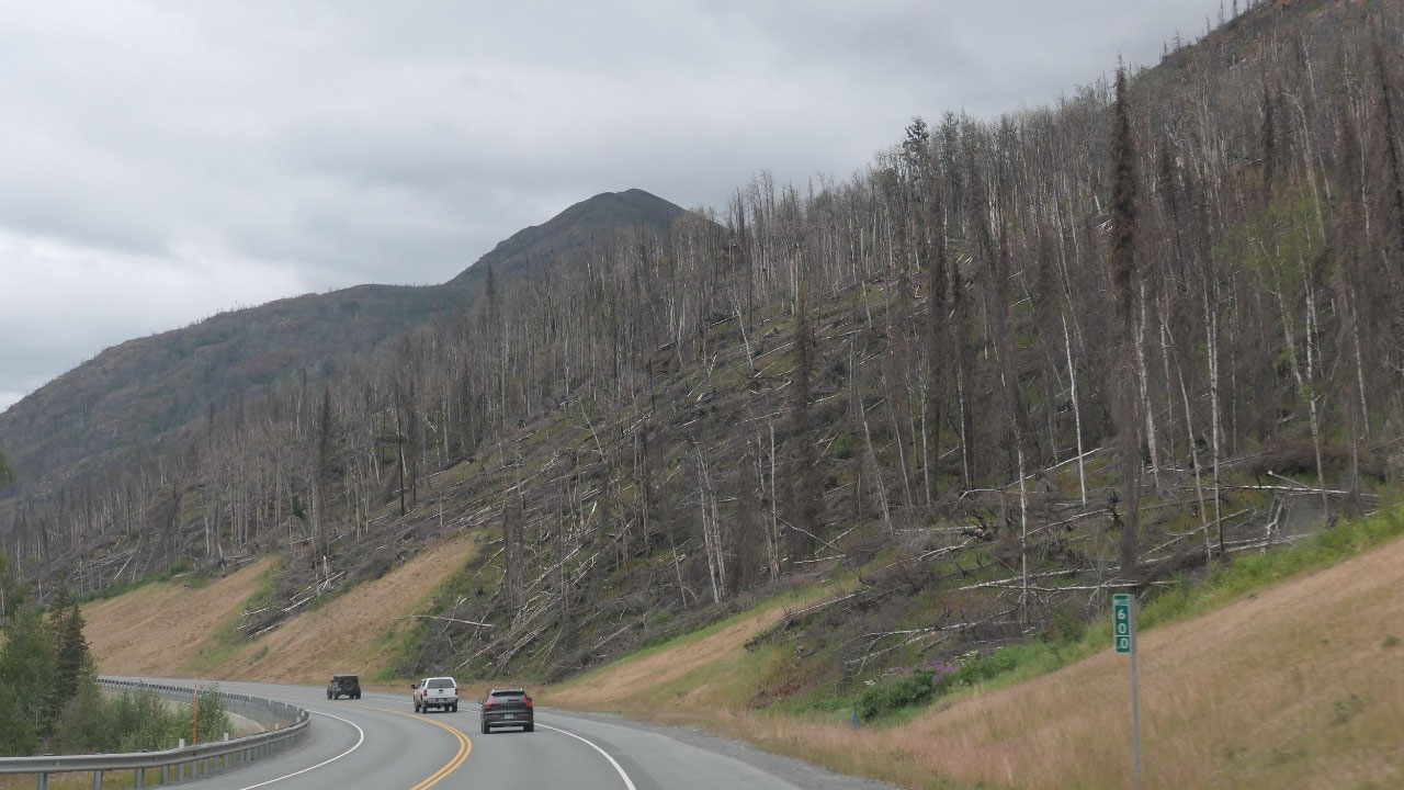
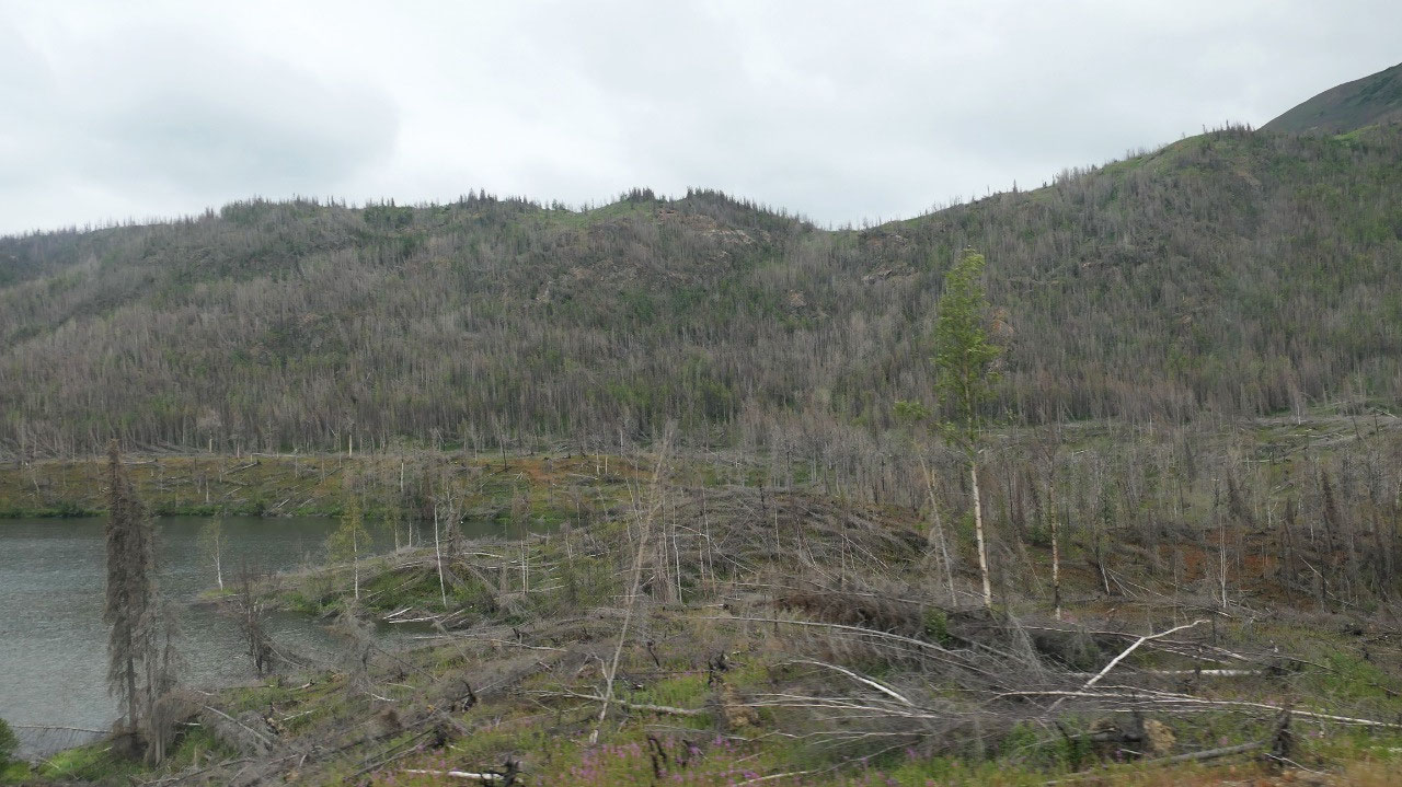
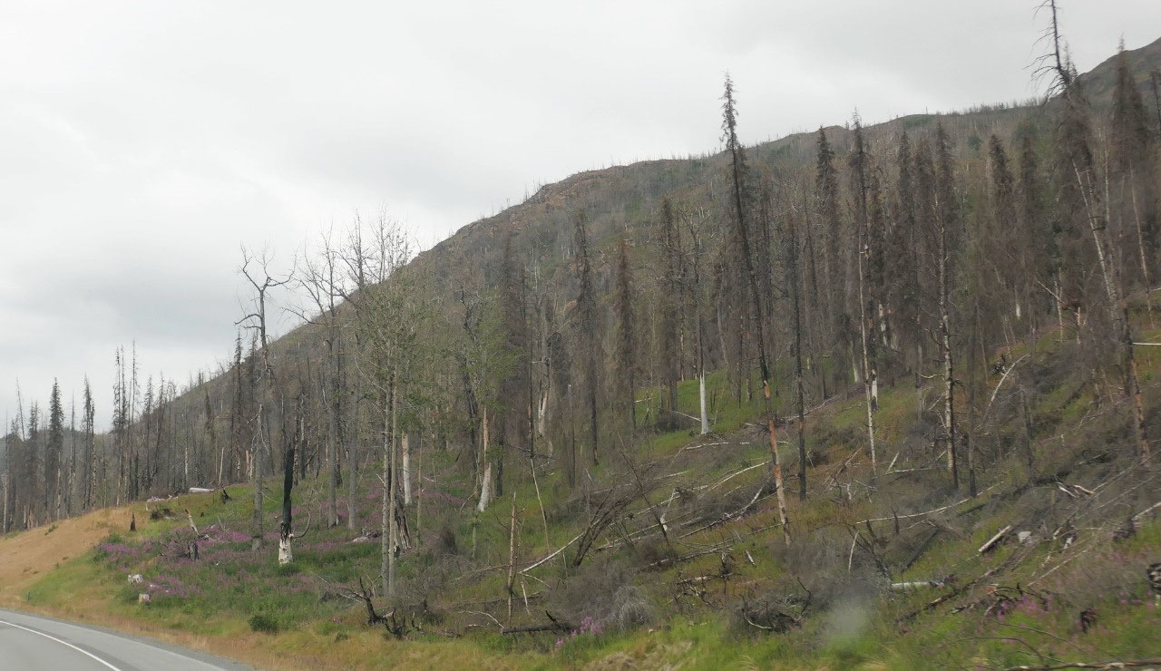
The next area we are driving through
looked like here was a wildfire, that is when it is great if you have internet,
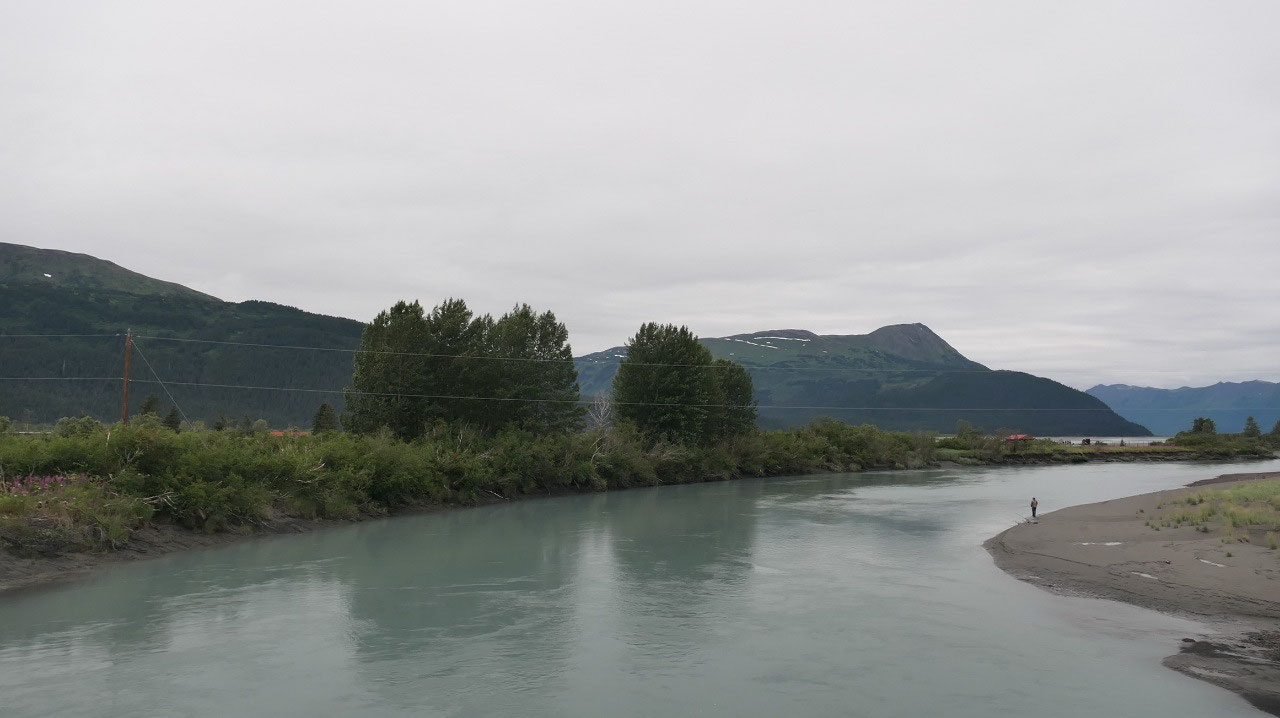
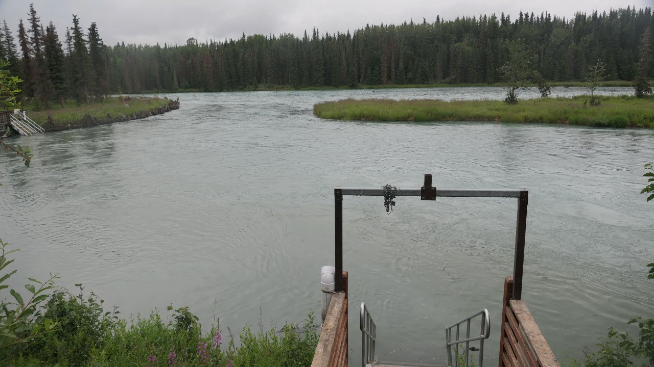
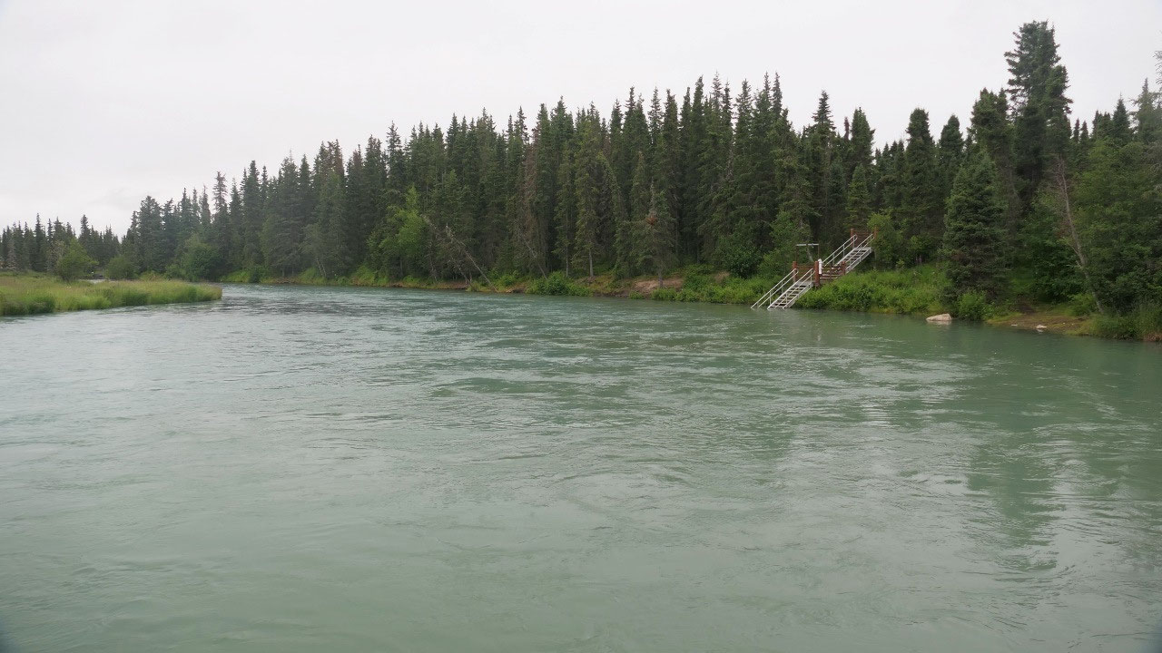
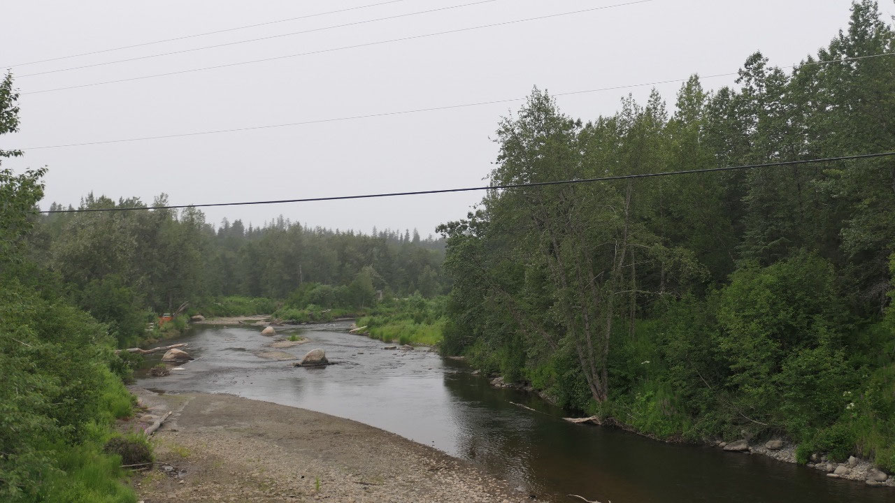
We then drove along the Kenai river
which has a beautiful green-turqois color
- In 2019 a wildfire started in June and burned until September burning 170.000 acres of forest along the Sterling Highway
- As we learned as we travel through here once were the Russians
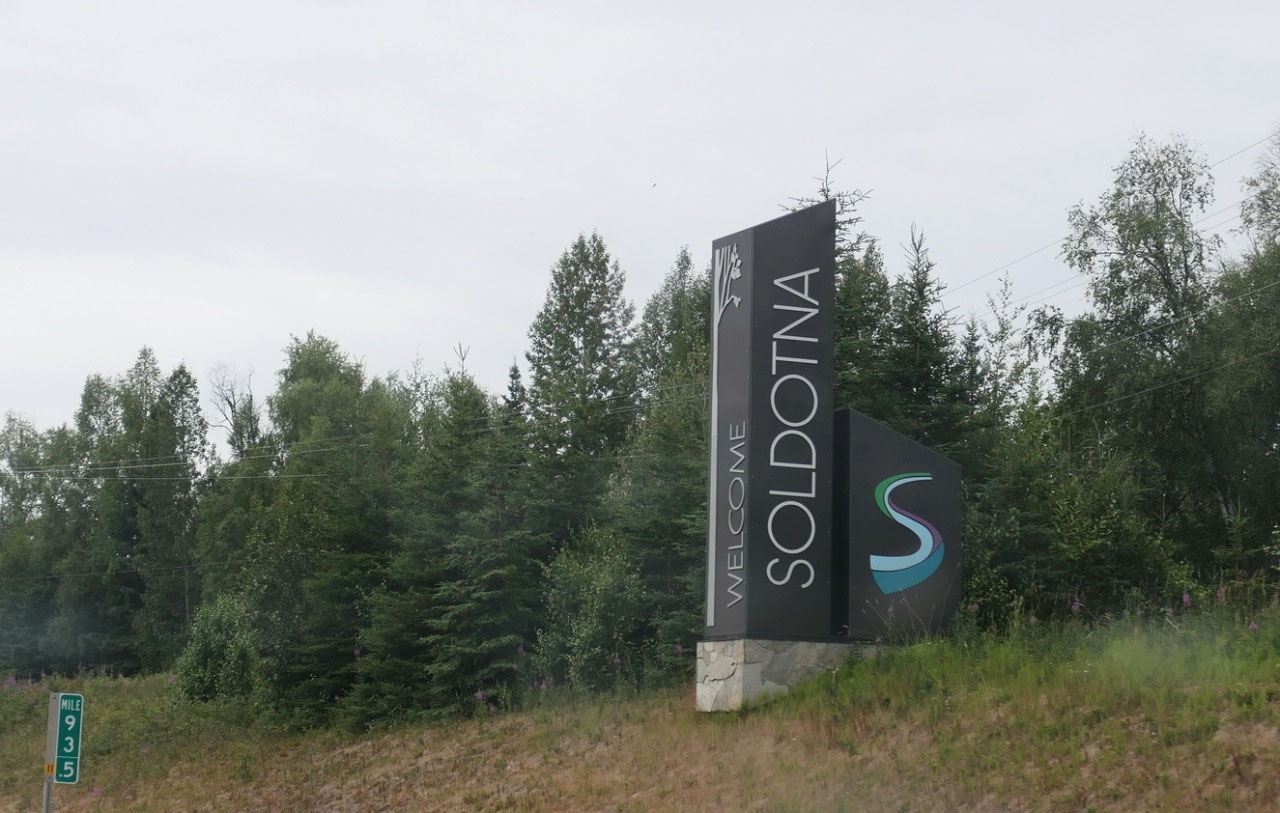
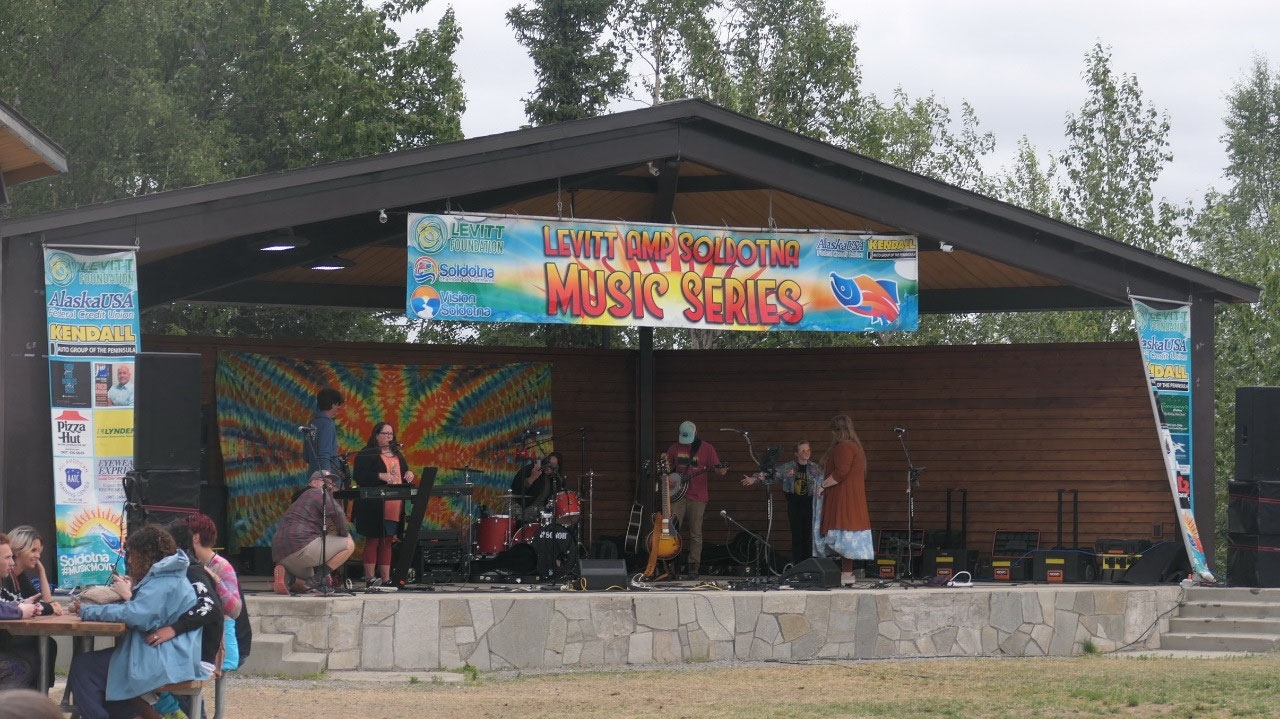
Soldotna Market
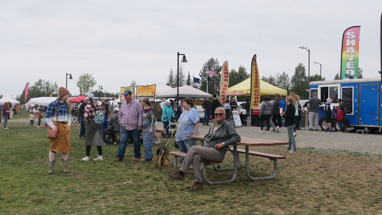
As we drove into Soldotna we
discovered a lot of tents, that means something is going on, we stopped and yes
we did found a parking spot and checked it out, it is the weekly Wednesday
market with lots of food and things to buy, as well as live music. We walked
through and got us a Fireweed Jelly – yes that sounded so cool, that we had to have
one.
- They say the name comes from the Russian word meaning “soldier” others say it from the Athabascan Indian and means “the stream forks”
- Soldotna is the central hub of the Peninsula and it was founded by the homesteaders
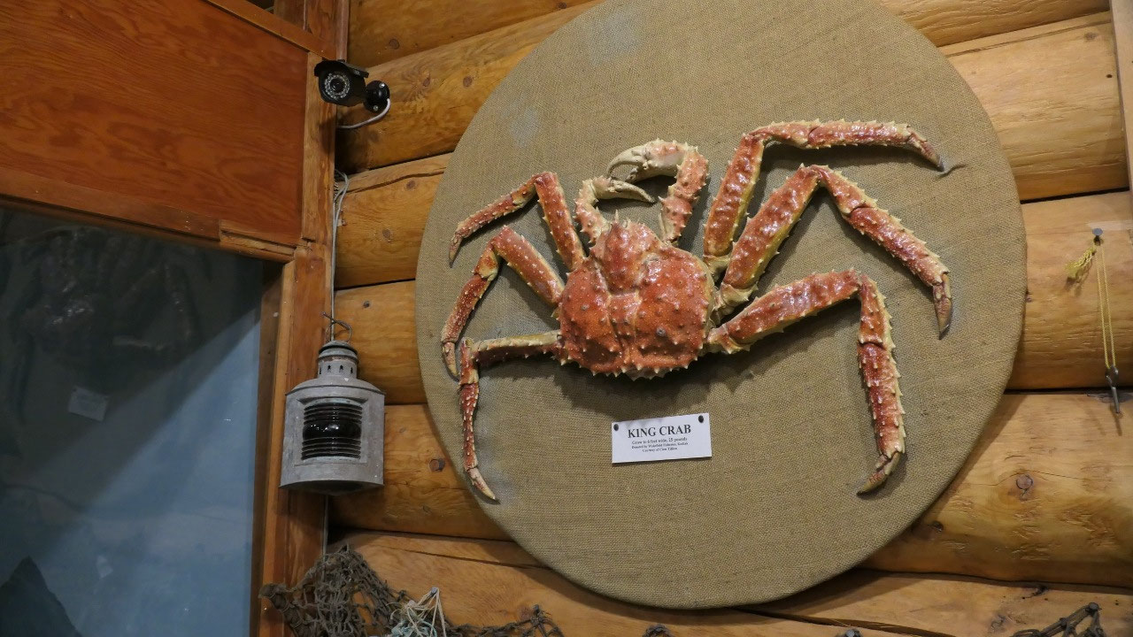
- The most famous attraction here is fishing, and here found the record Salmon 97 pounds in the Kenai River: by the way you can see a replica in the visitor info (yes we saw it)
- The famos Kenai River is a glacial turbid stream originating at the outlet of Kenai Lake
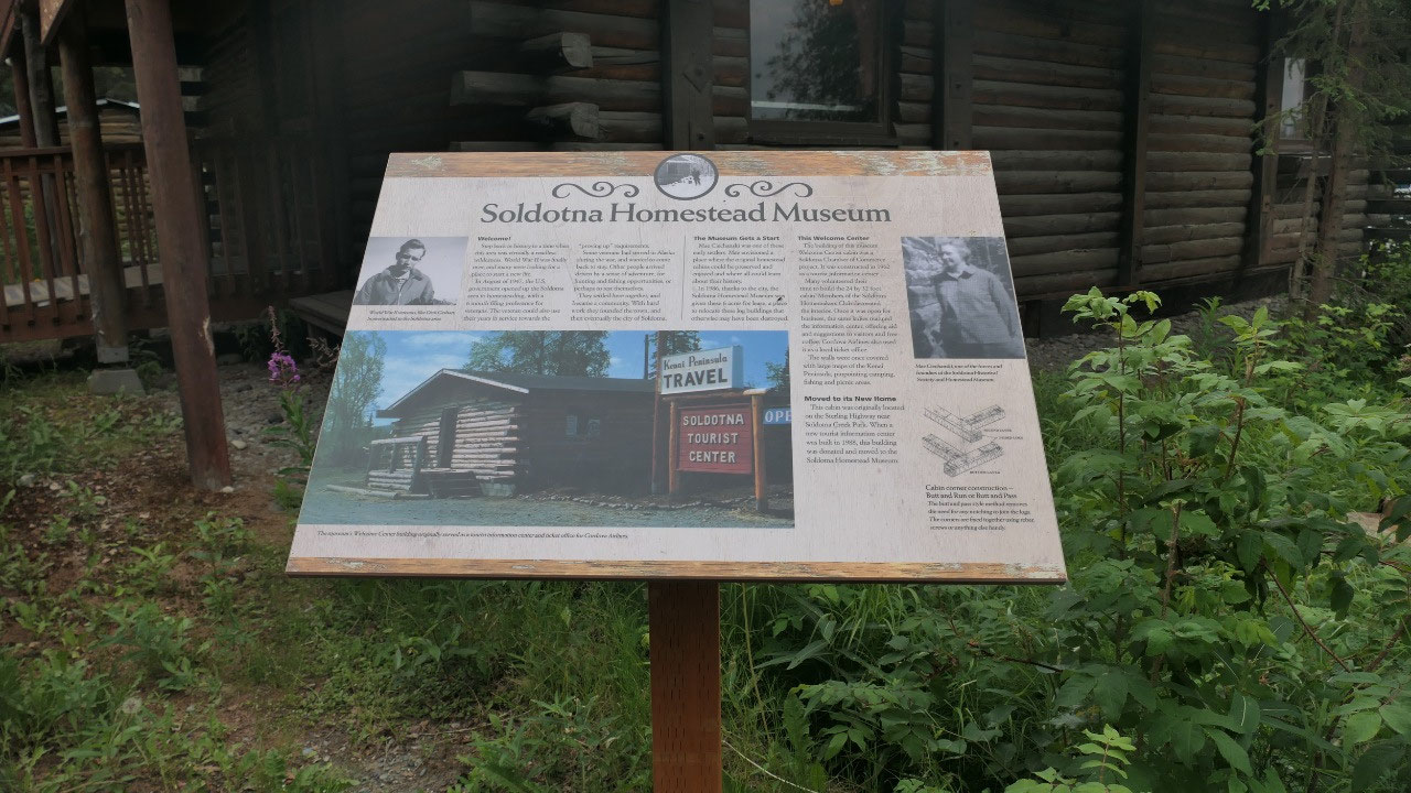
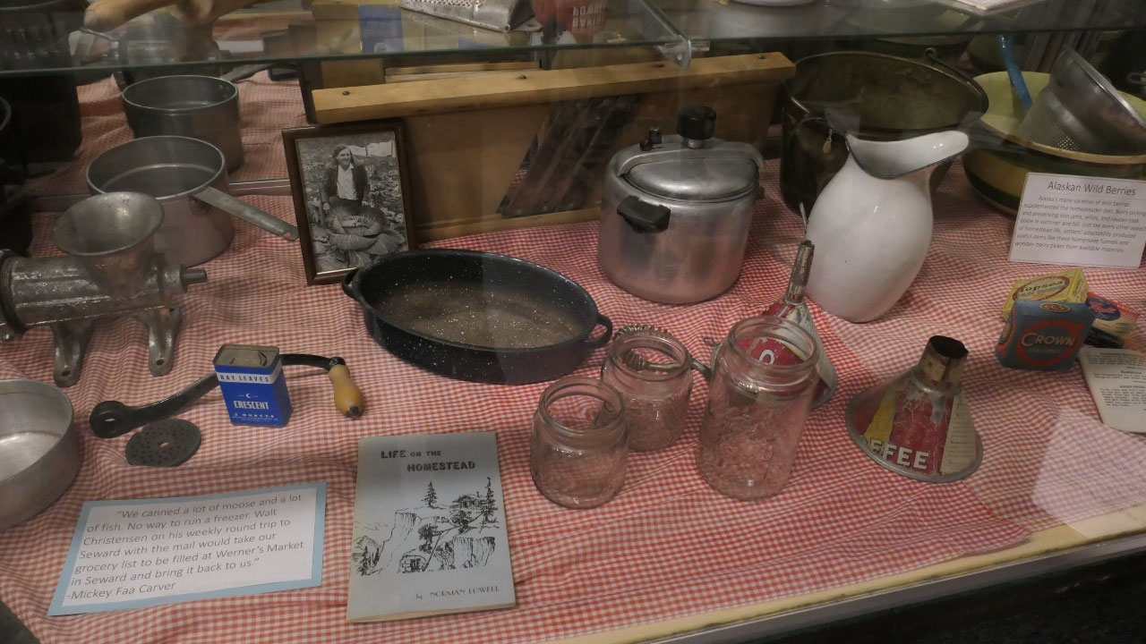
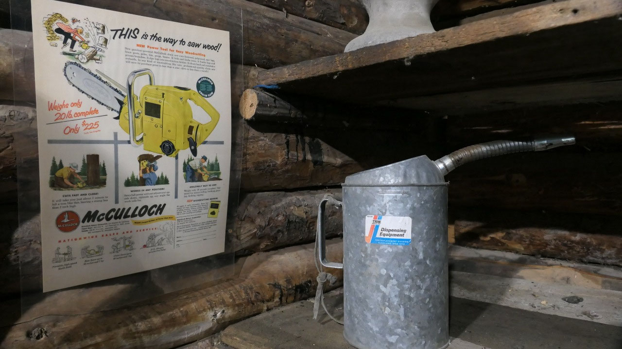
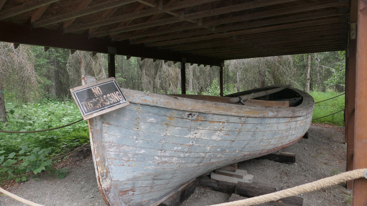
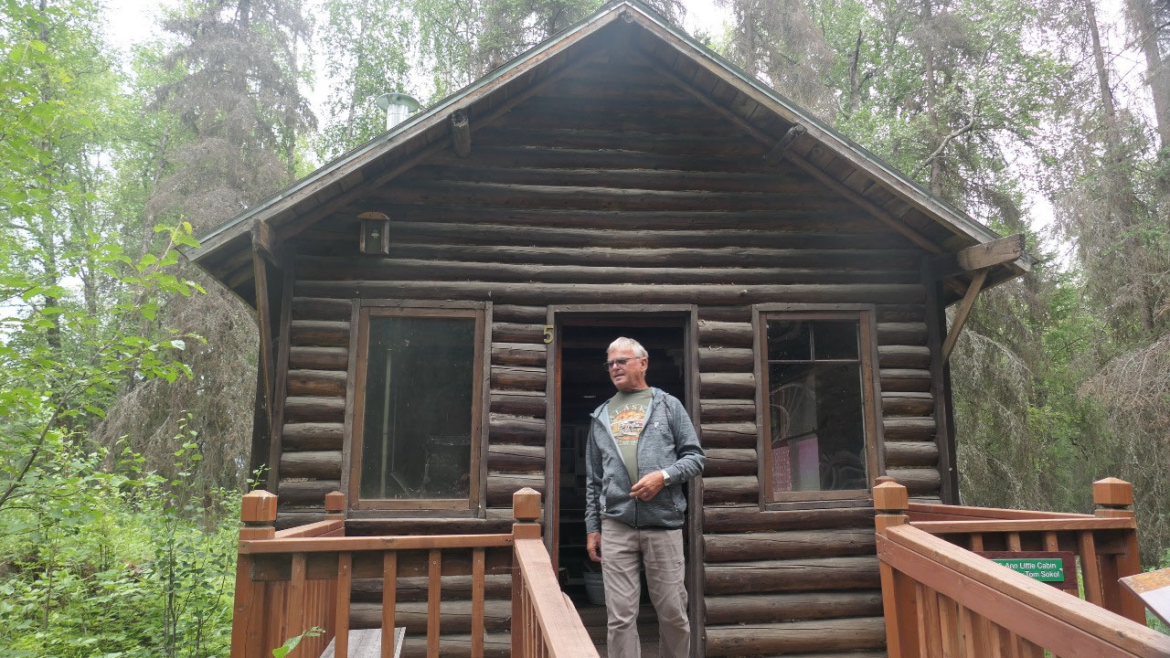
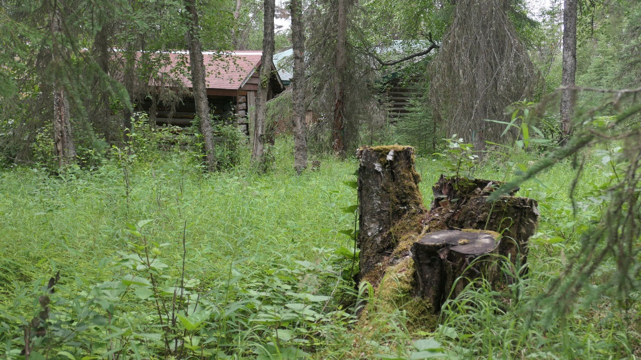
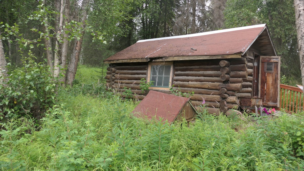
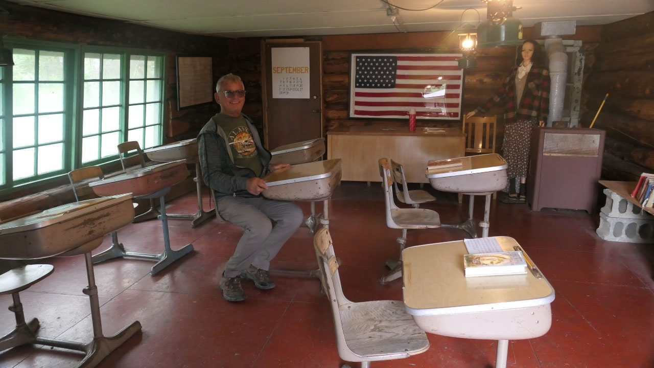
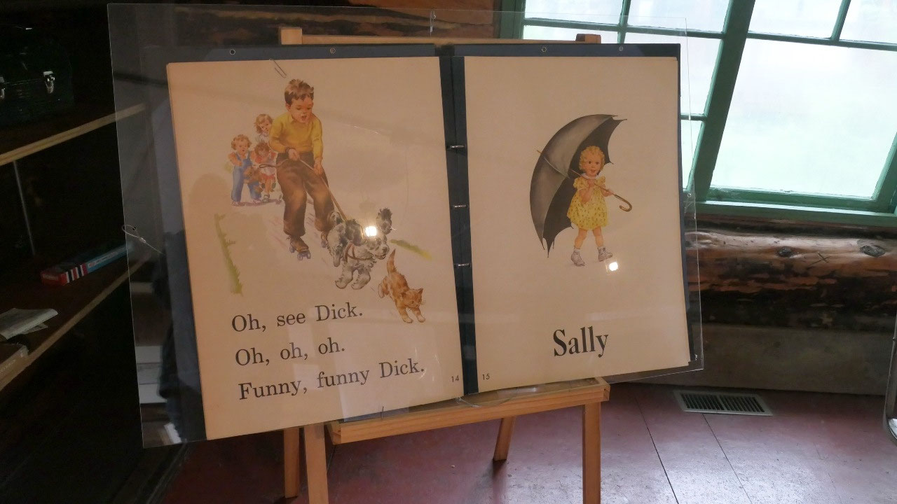
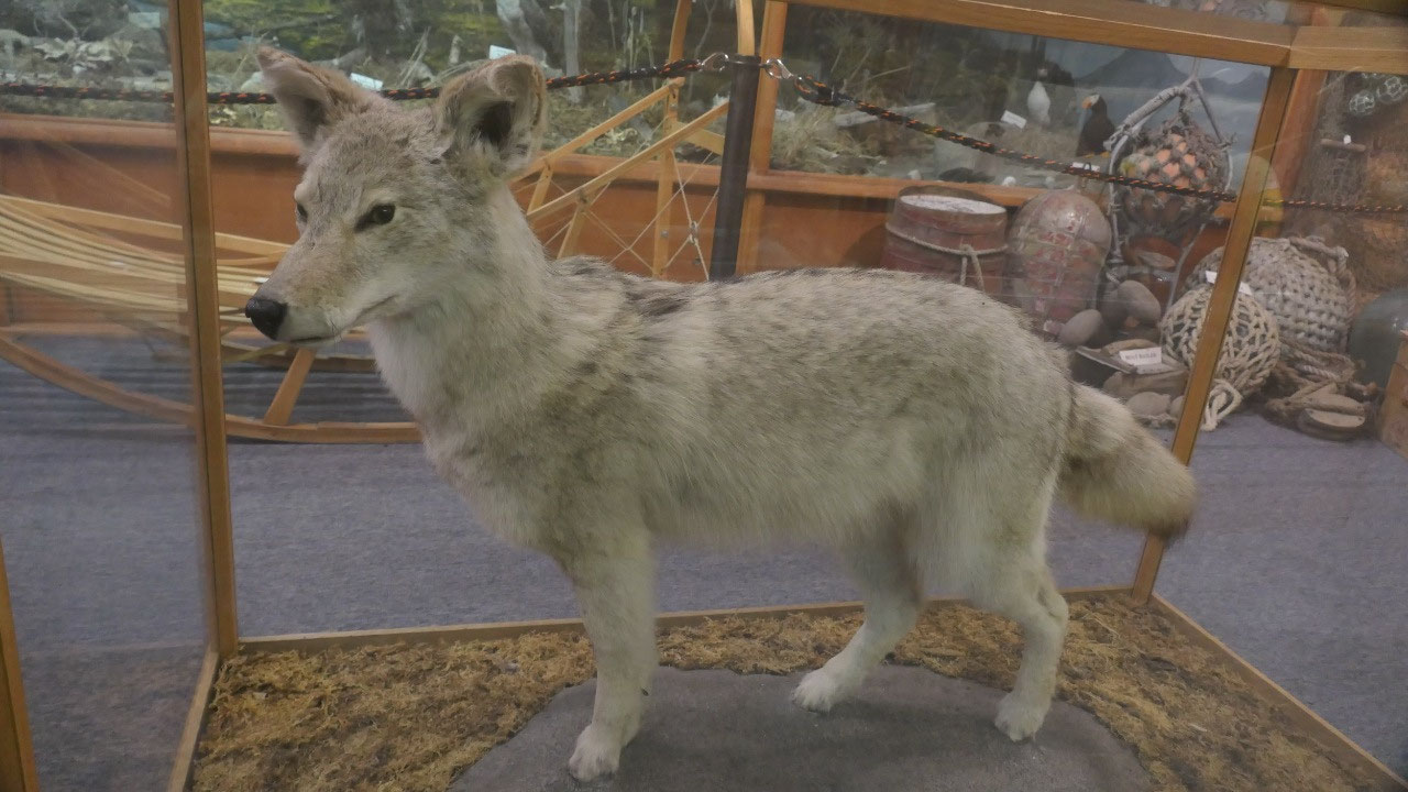
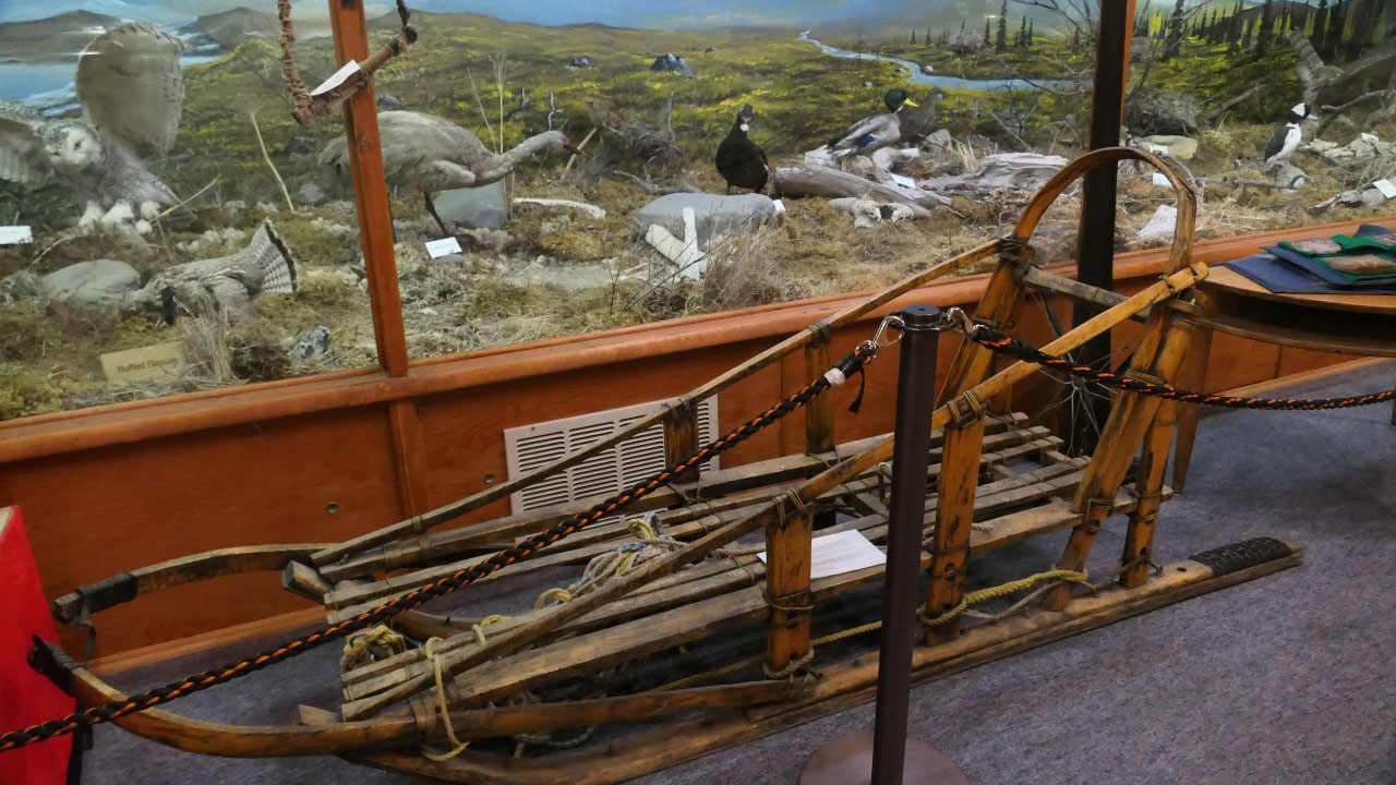
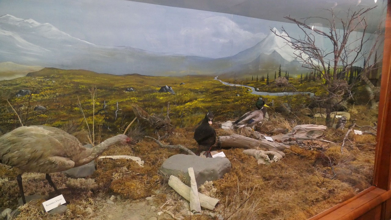
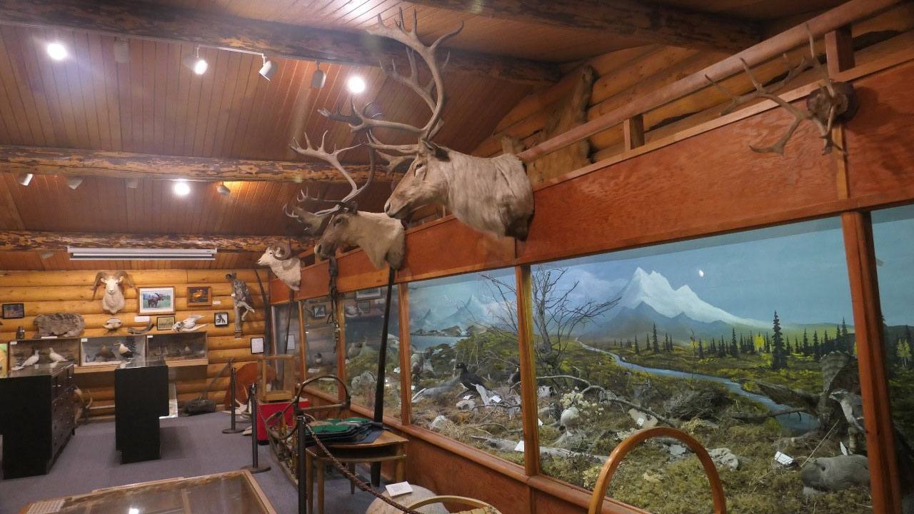
The homestead Museum in Soldotna
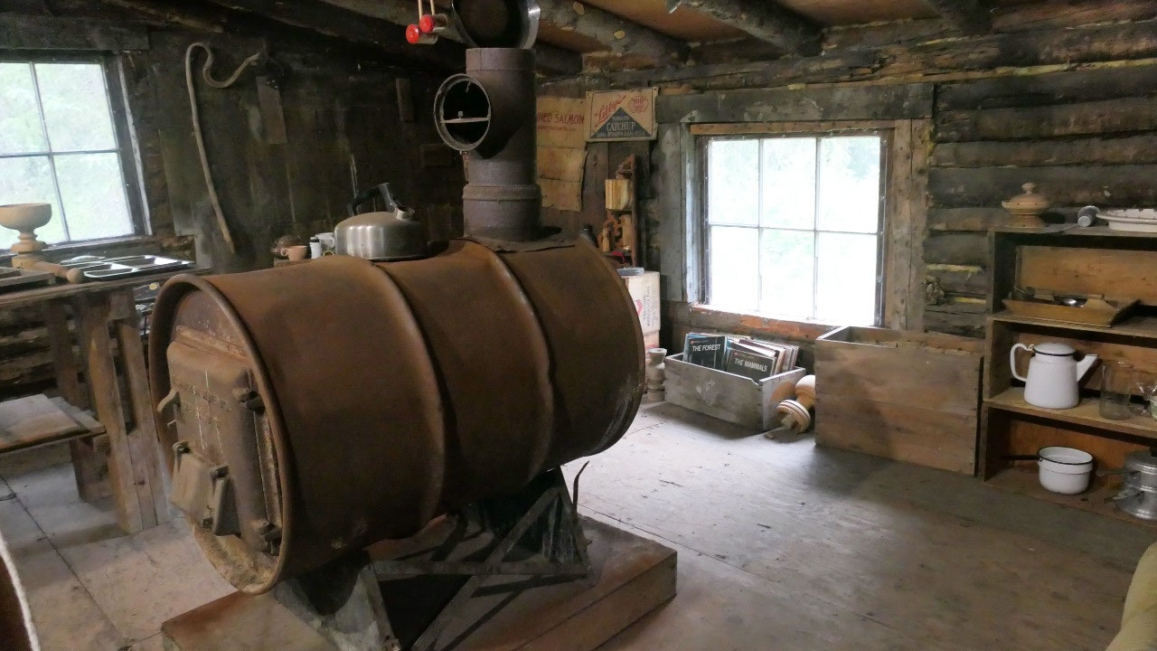
- In August 1947 the US government opened the area for homesteaders for veterans, some served in Alaska and wanted to live here and some came for the adventure, for fishing and hunting
- Transportation at that time was not that simple as you either had to fly in or take a barge on the Kenai river or you could take the train to Moose Pass and then hike 71 miles through Mud to reach Soldontan
- One of the guys who was an original homesteader was involved to keep those old cabins preserved and so that everyone can enjoy and learn
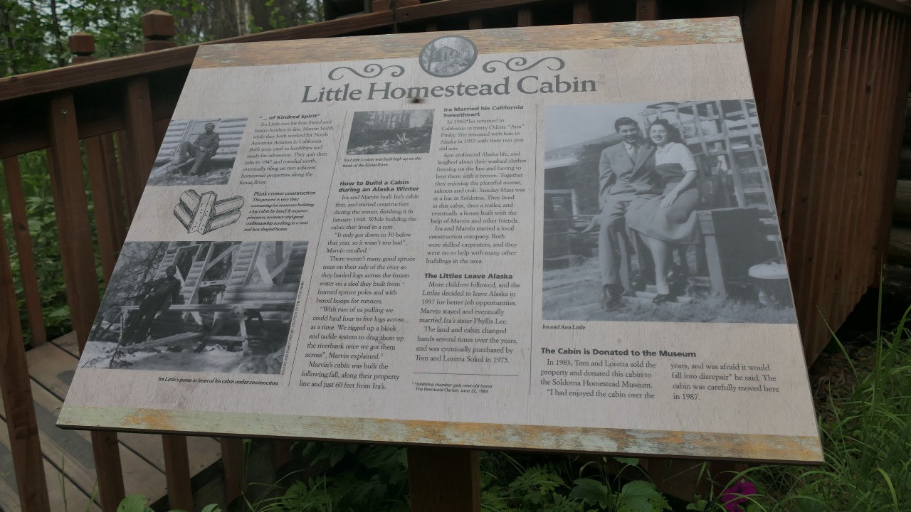
There was one more reason for Gine
that we need to stop here, so after a quick stop at the visitor info we knew
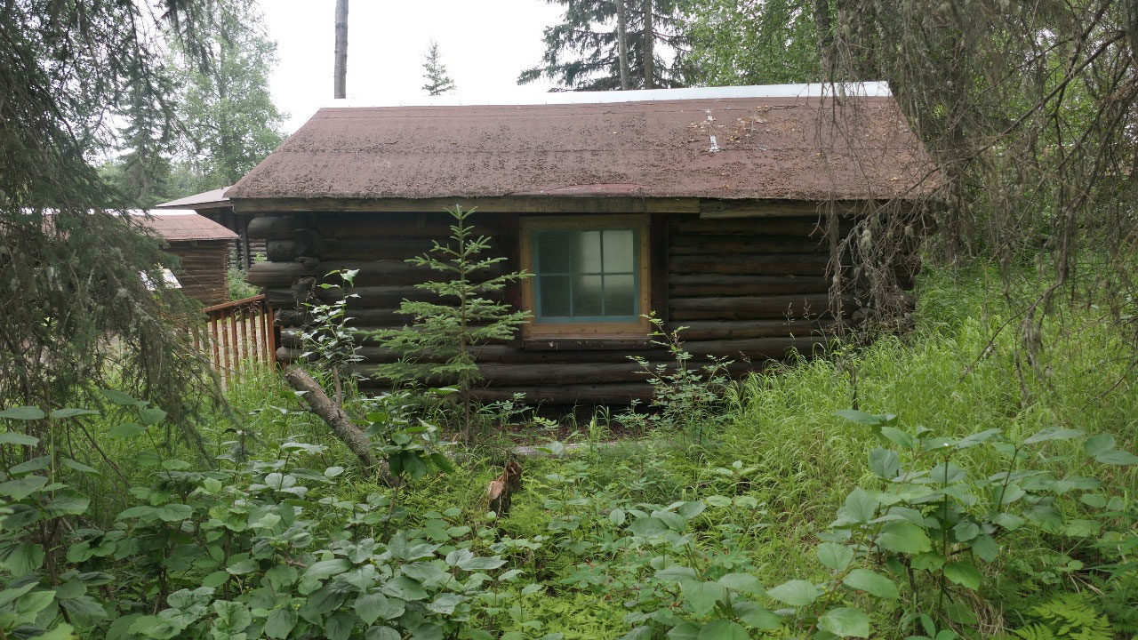
where to go: it was right next door and we visited a few old log cabins from
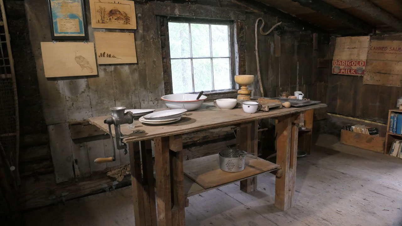
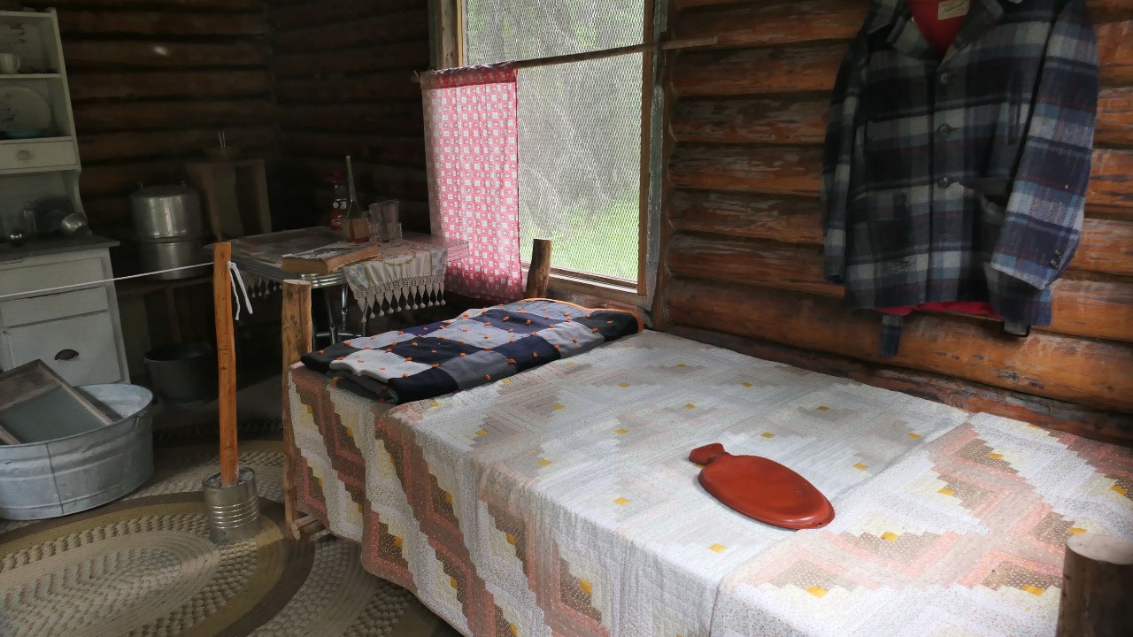
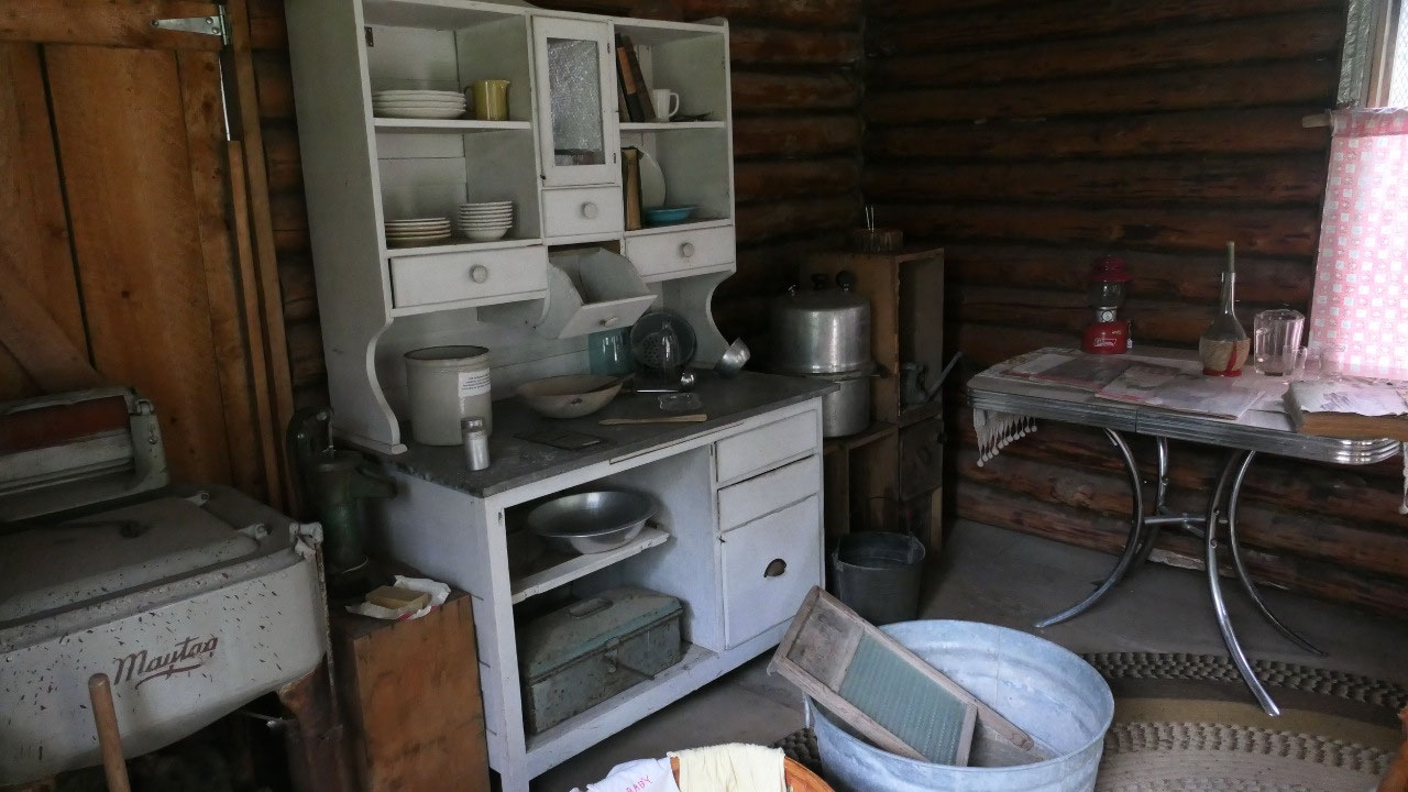
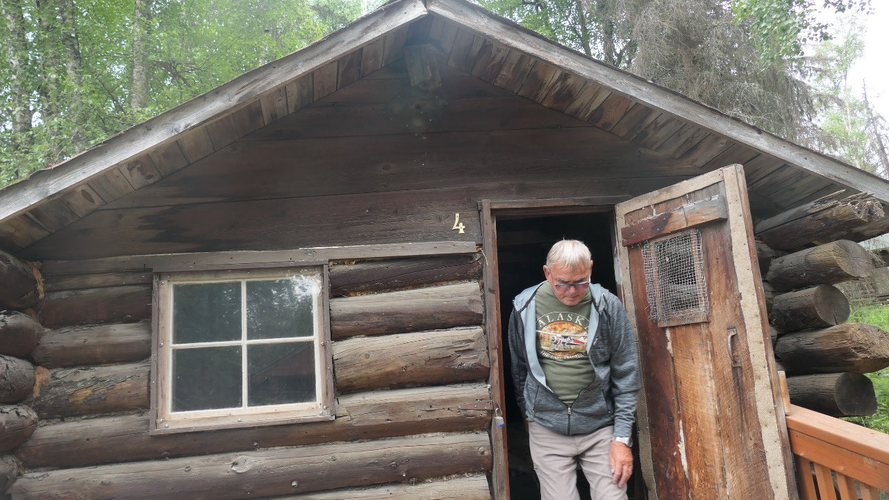
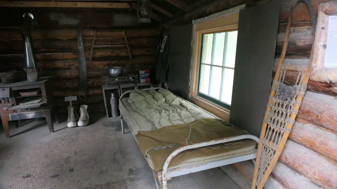
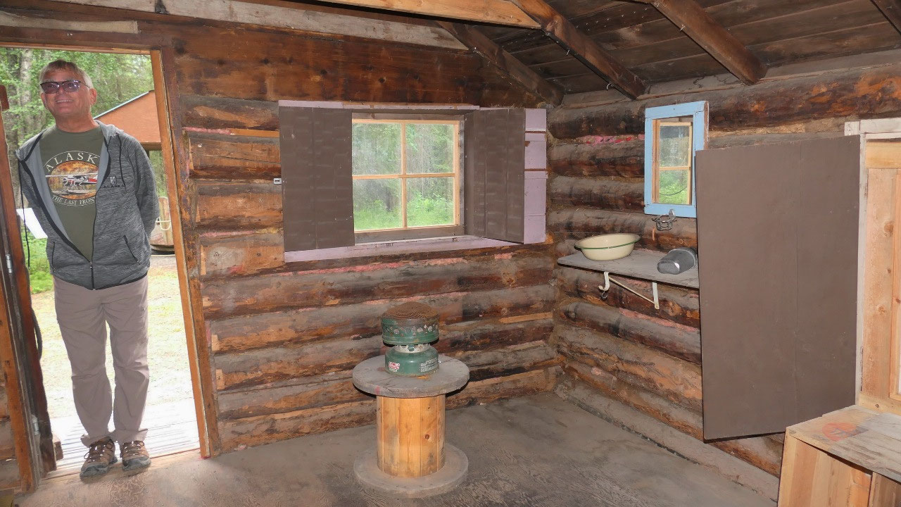
homesteaders – they were super nice and interesting to look at: what totally
got to us is, that they are small, also very dark inside and some of the them
were built as late as 1958!!! Can you believe it.
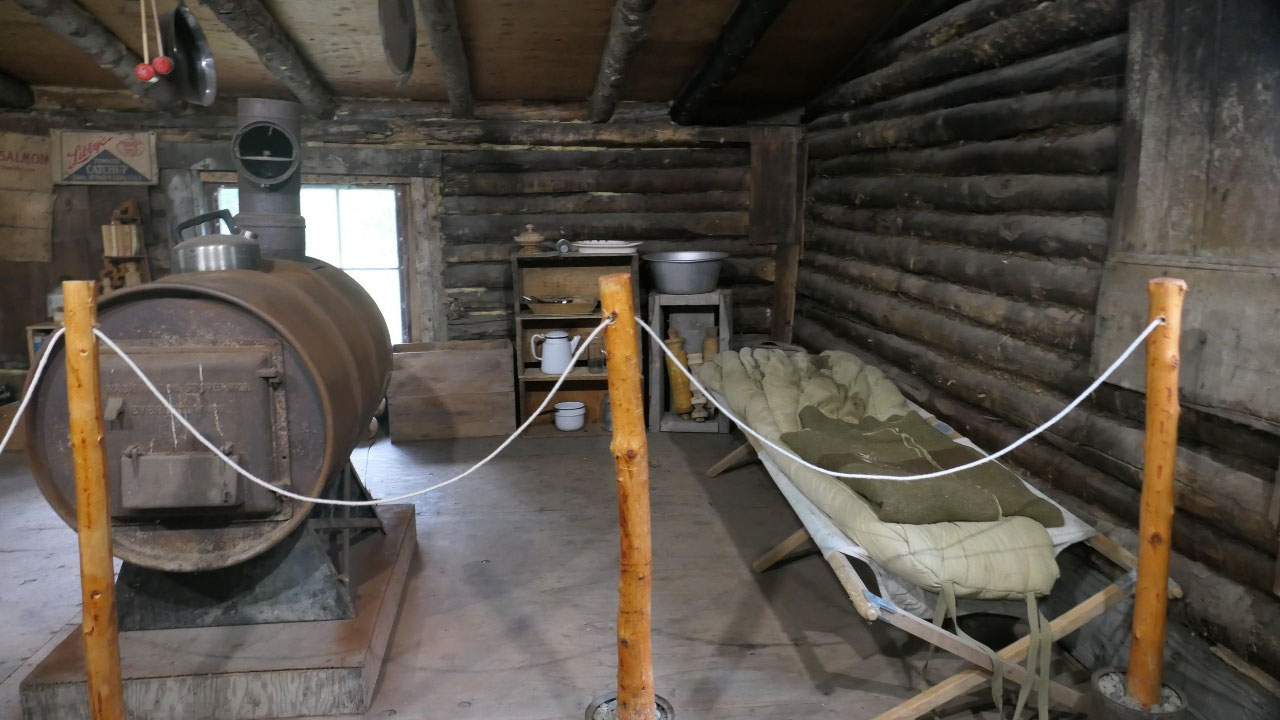
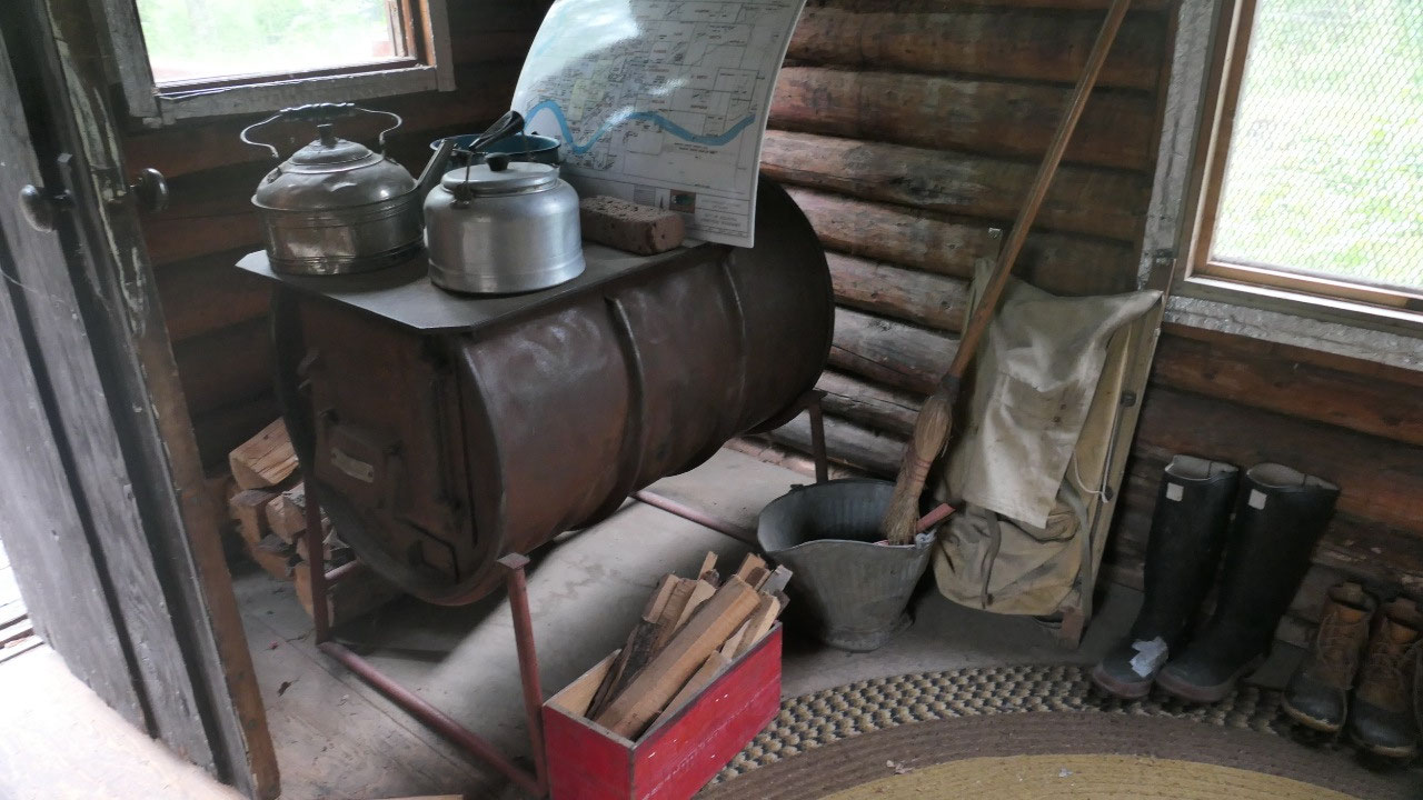
- Ed Ciechanski. like others he had to built the cottage by himself, even he never did something like that before: like many others one room with a huge stove in the middle (which looked like a converted barrel to me and that is what they are: converted oil barrels) and around it a table, bed and some shelves.
- Another 2 homesteaders built their cabin in winter and lived in a tent when it had 30 F which they thought was not bad. Yes, you need to be a different kind of person when you wash your clothes and they freeze on the cloth line
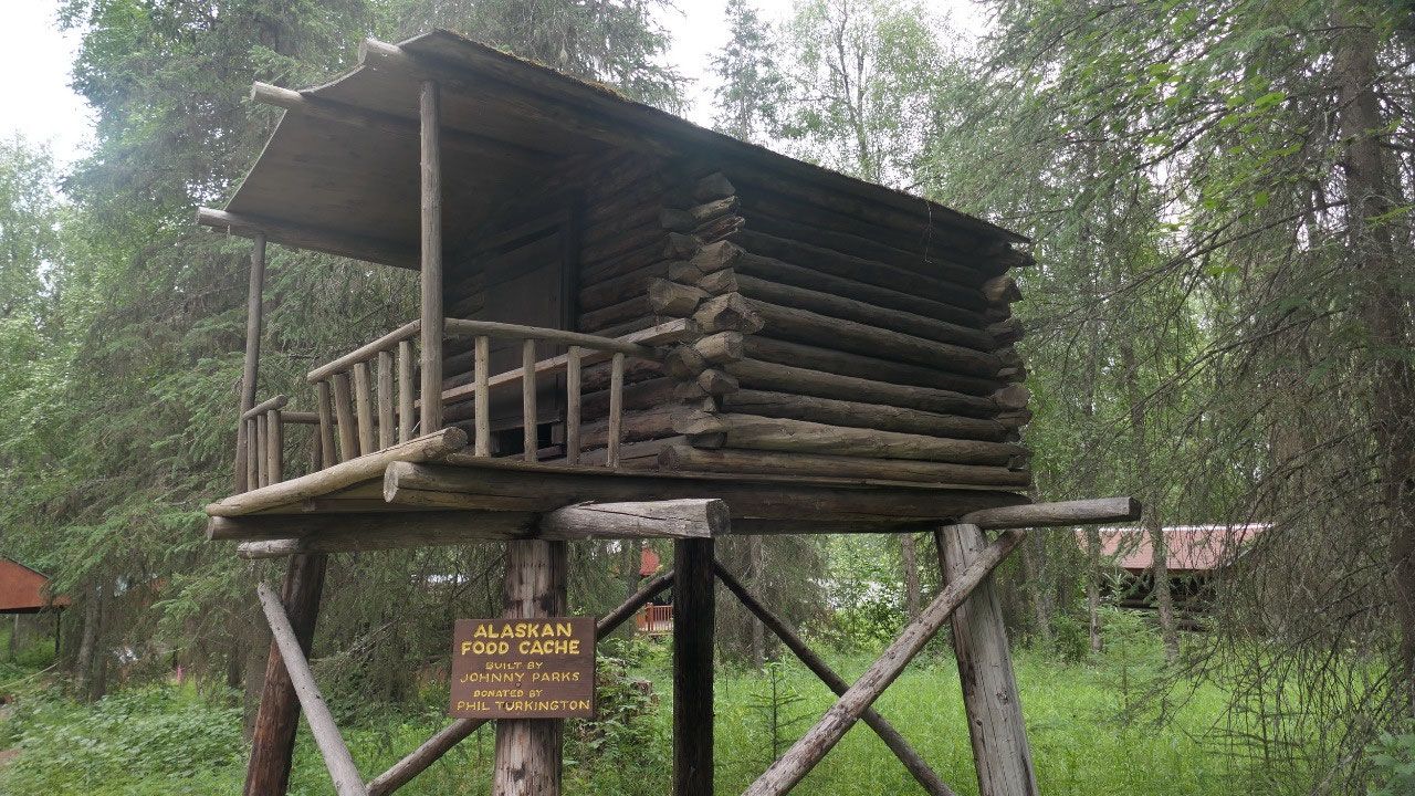
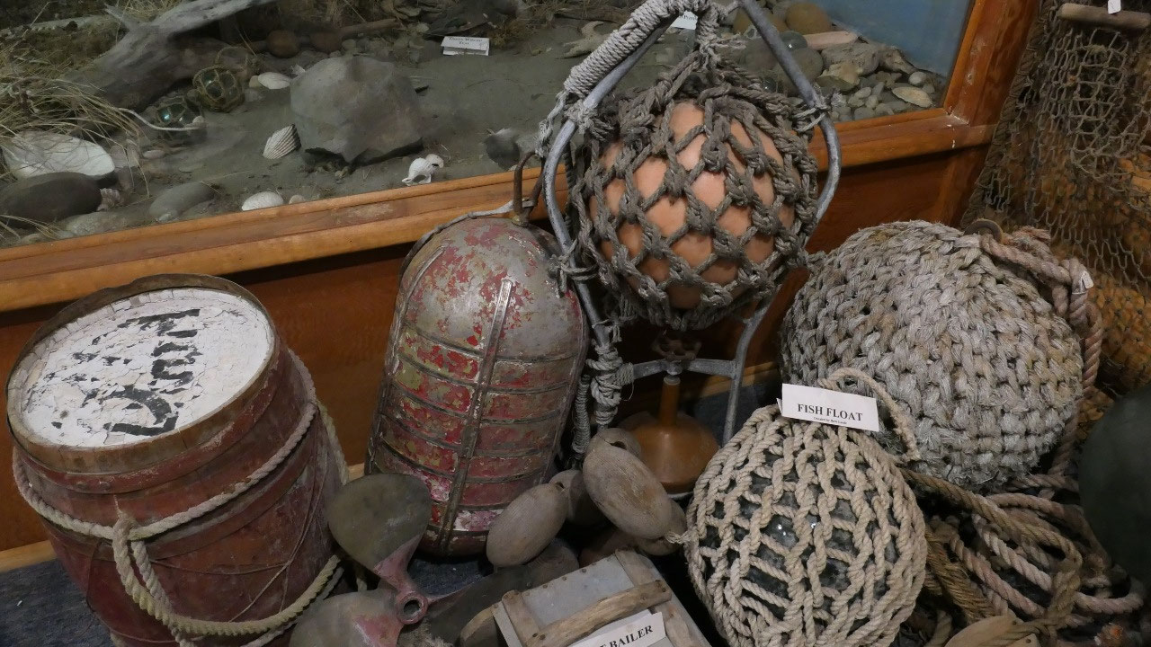
- Food Cache: in the mean time we saw several of those: little houses on stilts, guess you really needed to think about if you wanted some food
- Still in 1949 when Dick arrived, he cut all the trees himself, dragged them to his site, water needed to by carried for 1 mile to the cabin and on Saturdays he went to Kenai bar where he could have a shower. Some of the buildings also had metal roofs.
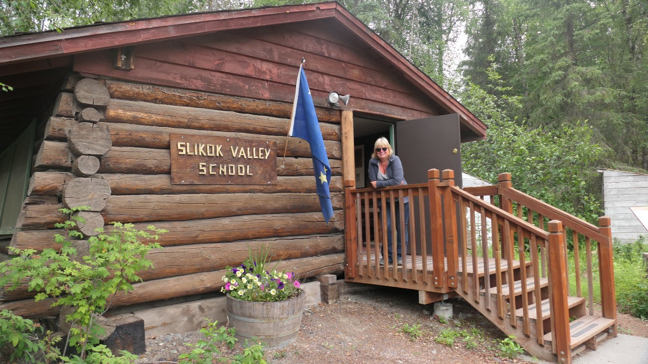
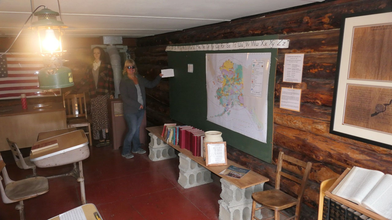
- The school building was the last territorial log school built in Alaska in 1958 – once the Kalifornsky road was completed in 1960 the bus took the students to the school in Soldotna and the school closed. Before the kids had to walk 3-8 miles even in winter and then take the bus for another 14 miles to Kenai: they built the school because as required there were more than 10 children in the area: they built the school within 3 weeks all done voluntarily by the homesteaders
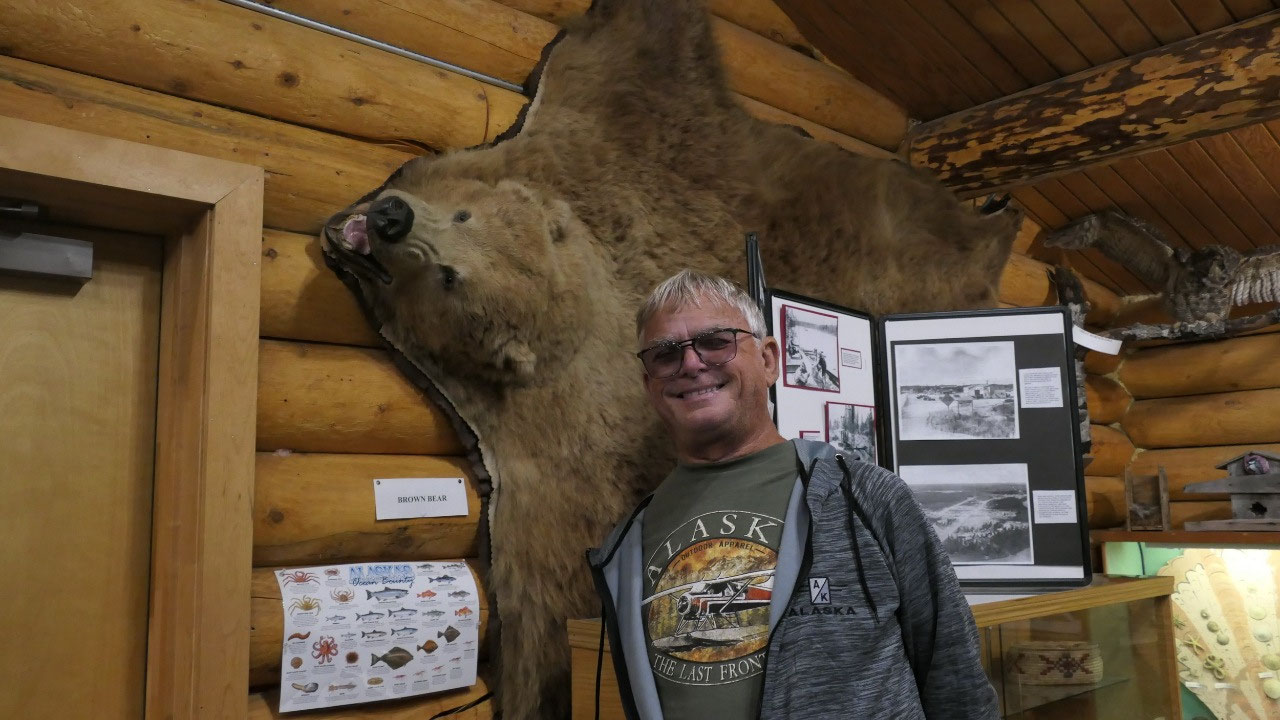
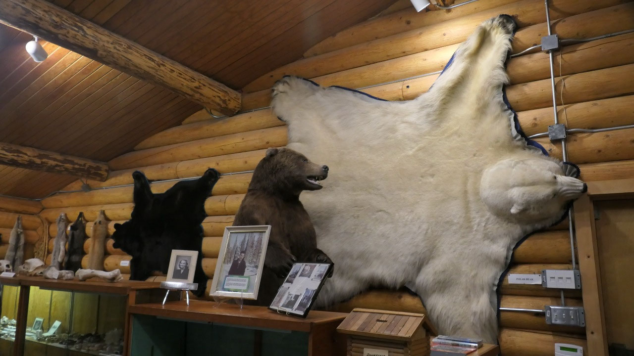
- Damon hall: here we could see a black bear pelt near a polar bear pelt and a brown bear – that really shows you the difference in size of the animals: that is when Paul found out that the Polar bear is the largest bear – except the Kodiak bear which can reach nearly 11 ft when standing up with 1500 pounds and only lives in Alaska
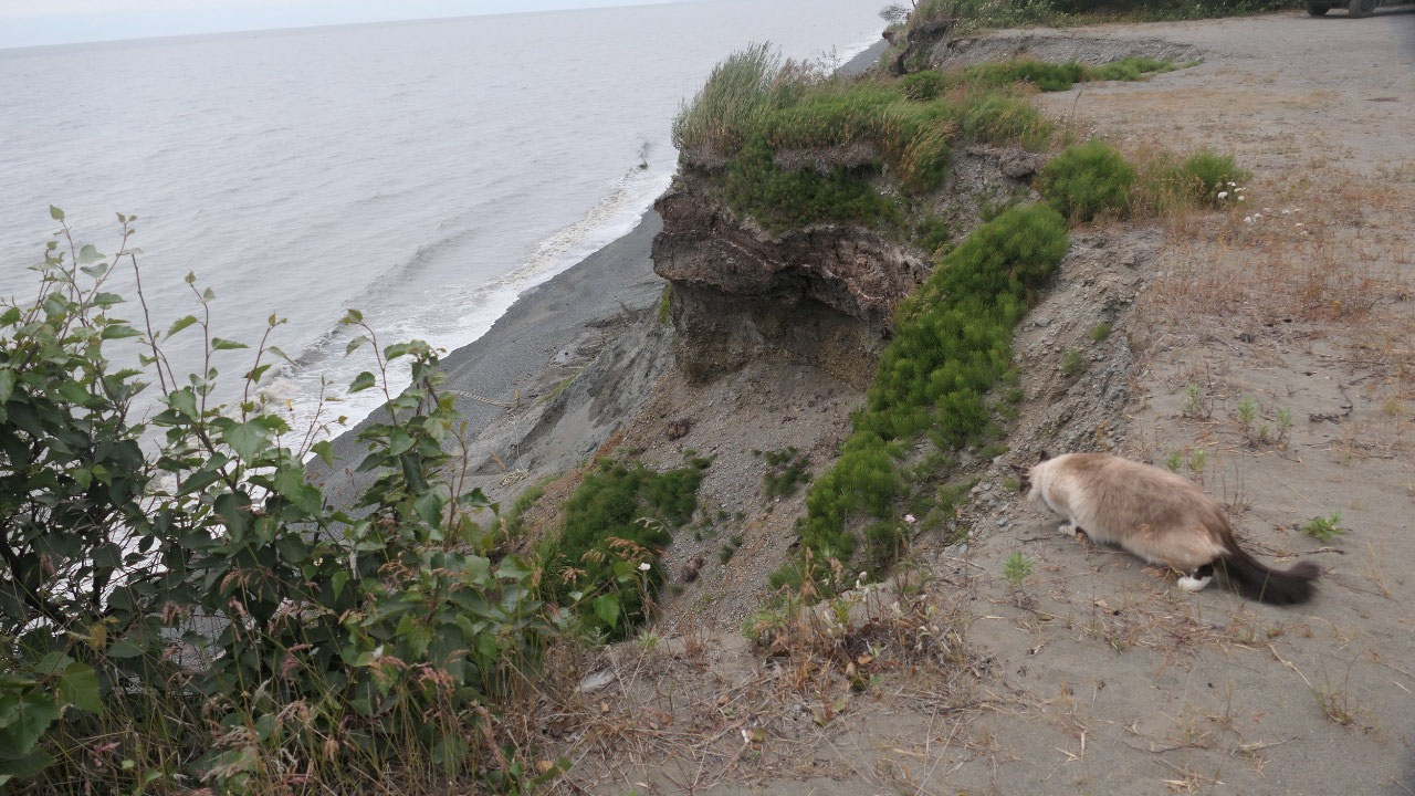
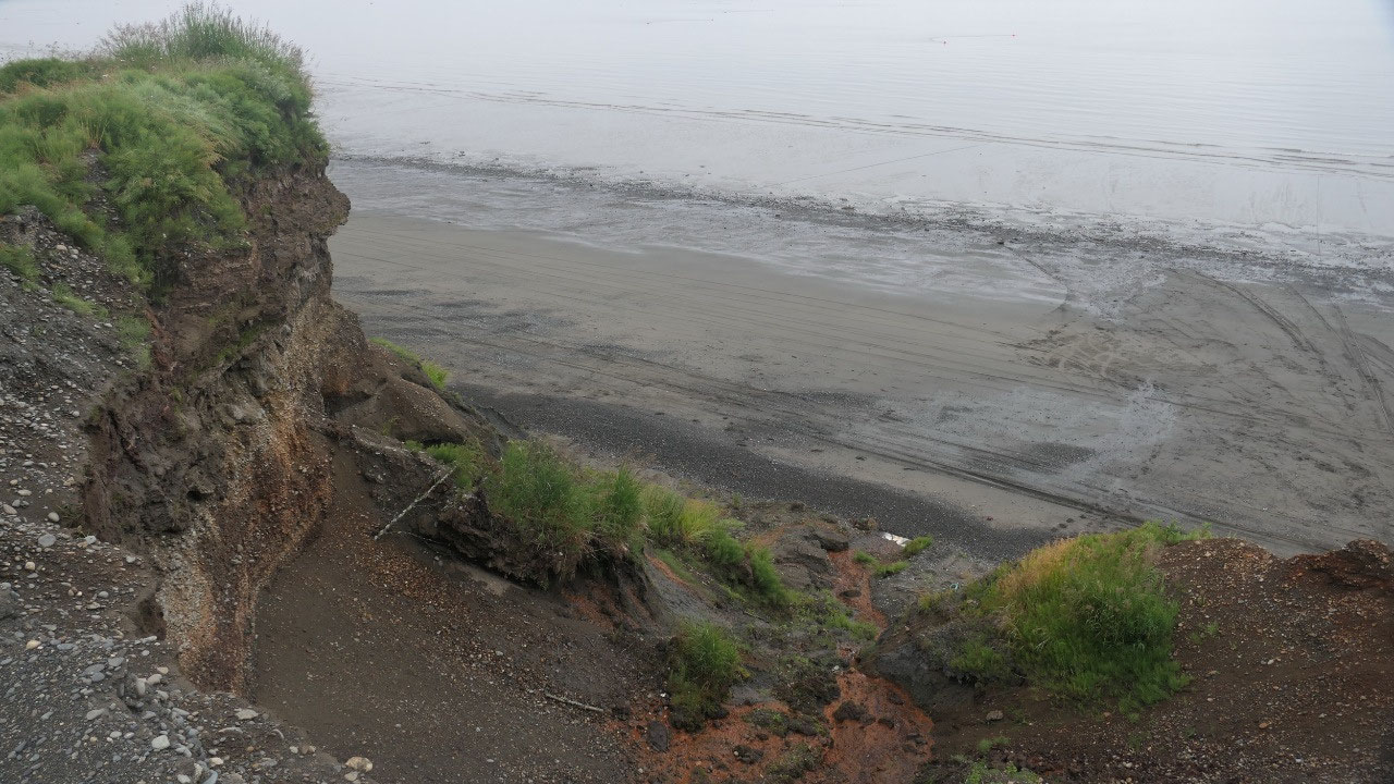
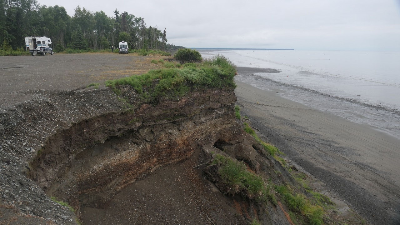
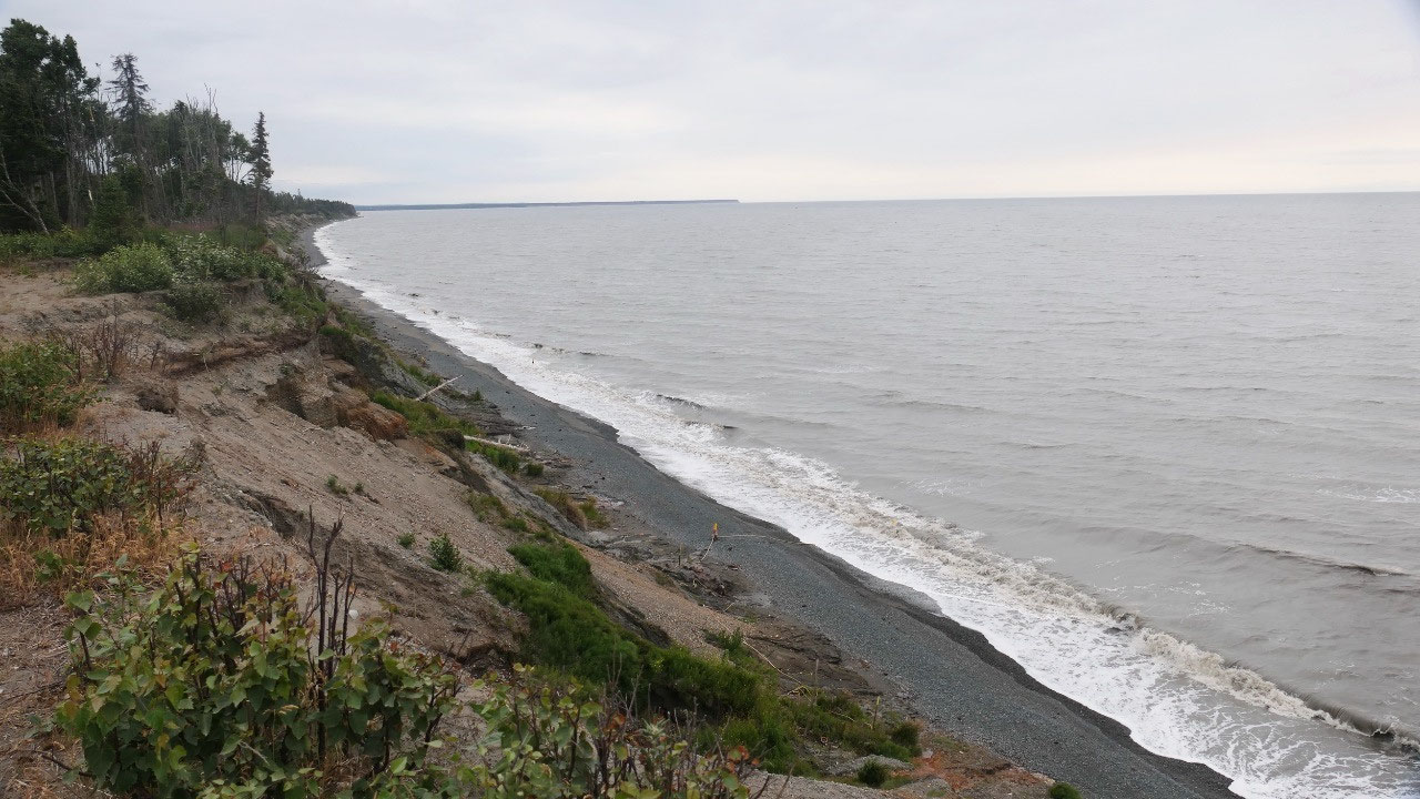
Free camping at the Kalifonski Beach
We then headed out as Gine found a
perfect spot on the Ioverlander. Along the road here are a lot of little
sideroads, but most of them go to a house, so it was good to know that one of
them led to a gravel spot where you can camp for free on top of the cliffs of
the Kalifonski Beach. During the evening more people showed up and in the end
we were 7 campers staying here.
Buckle up – we have to toughen it
As we were here Gine said, you know
maybe we should book a spot for tomorrow on the Homer spit, Paul did call
around and we discovered they are either super shitty sides like near the
office and the highway or super pricy like over 70 US$ a night, neither off
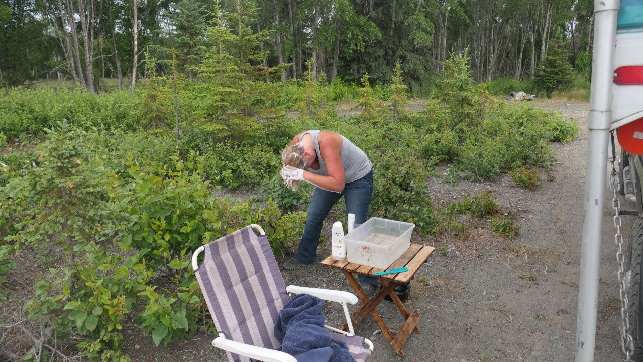
them appealed to us. I may should mention that here a lot of RV Parks in Alaska
are huge parking lots and you pay a lot of money – really!!! Paul said buckle
up and we have to toughen it out: so we boiled hot water and then Gine washed
her hair and then showered herself off with some hot water in the freezing cold
weather: I mean it is so cold we have long pants, sweater and jackets on!!!
That means the rest of the day we stay
inside!!
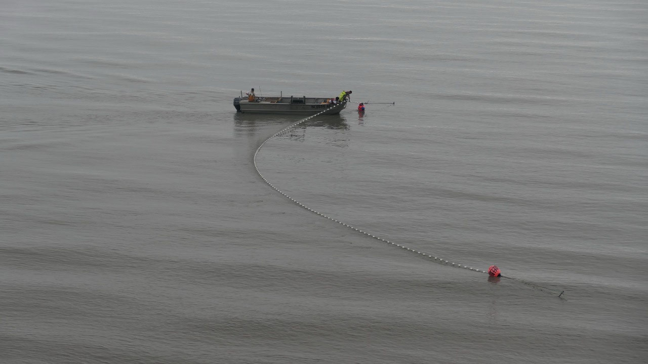
Fisherman on the coast
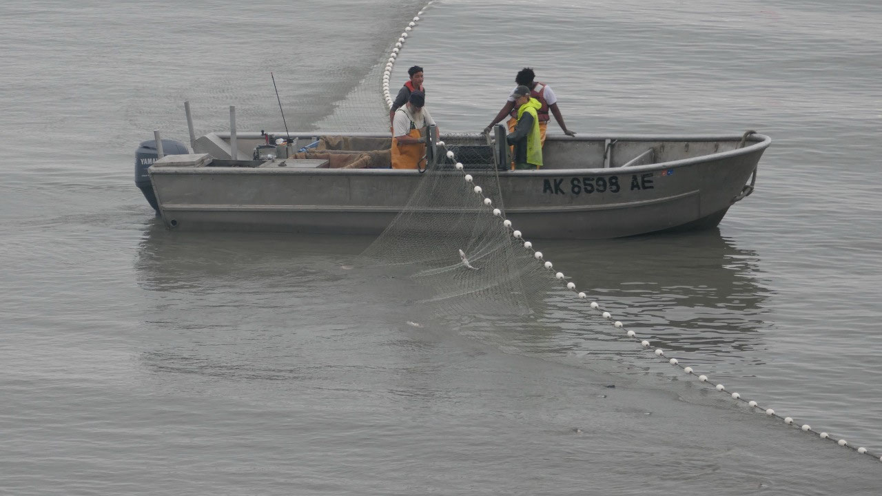
As we woke up we discovered that the
Fisherman were already out and fishing, it was super cool to watch them getting
in their nets and getting the fish – ok so this would so be not for me!!!
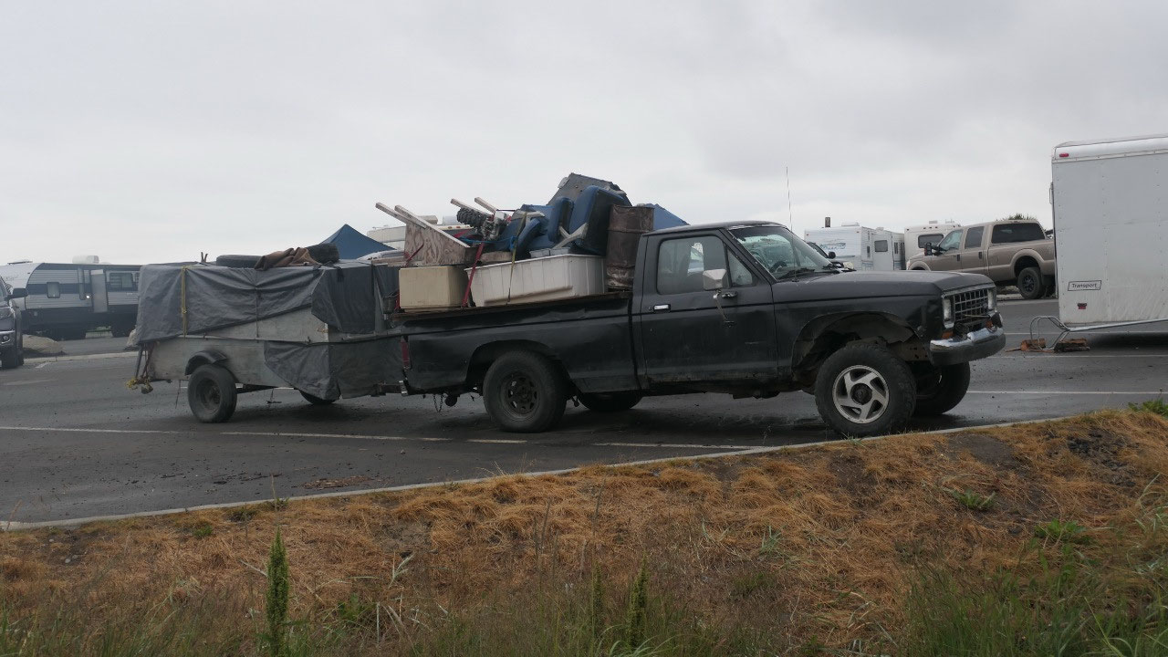
Our next stop was special rest area
We had no clue what this could be, so
we went by to check it out and couldn’t believe our eyes: so there is ahuge
parking clot and one RV near the next one, super tight and full, and then more
people were in tents and everyone is fishing!! And the weather is not even nice
– weird Alaskans.
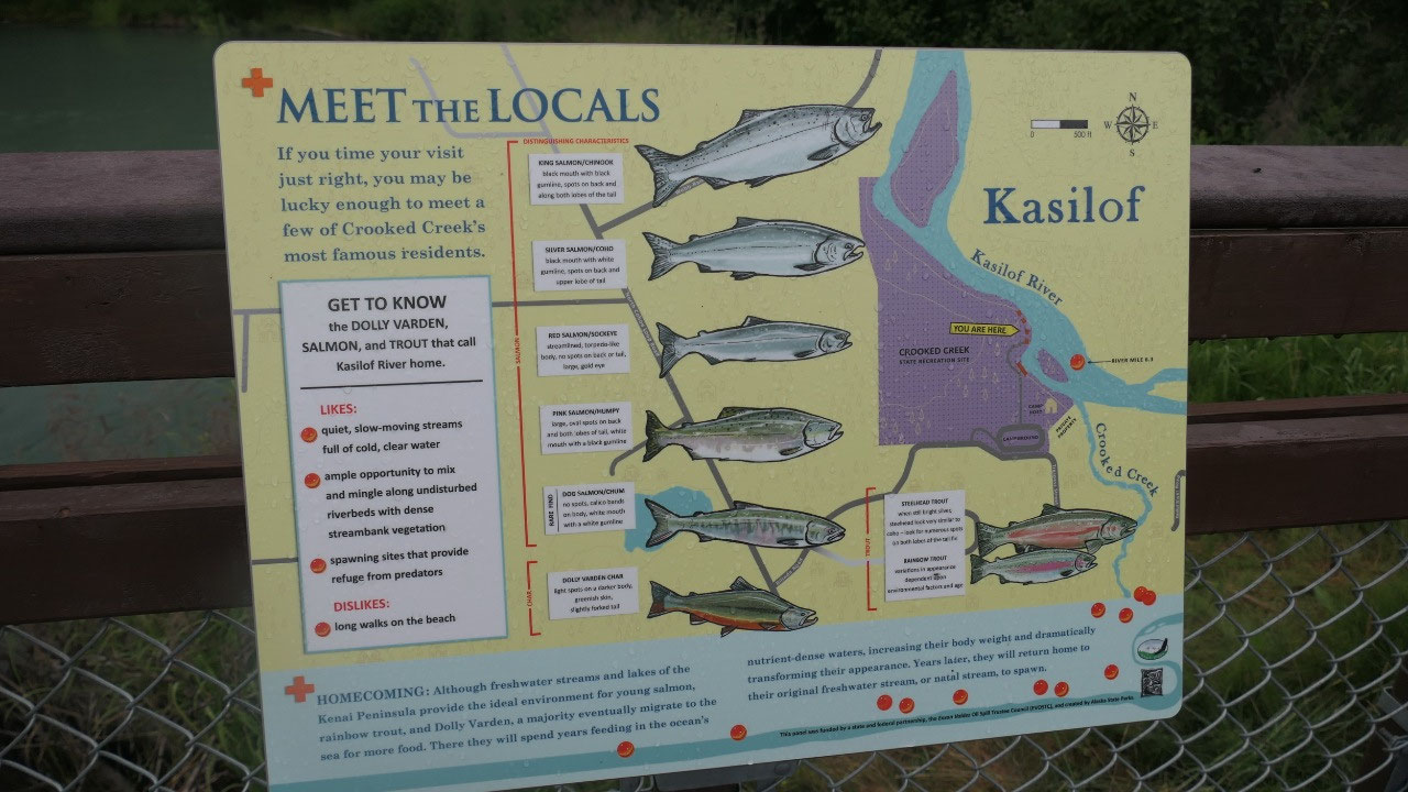
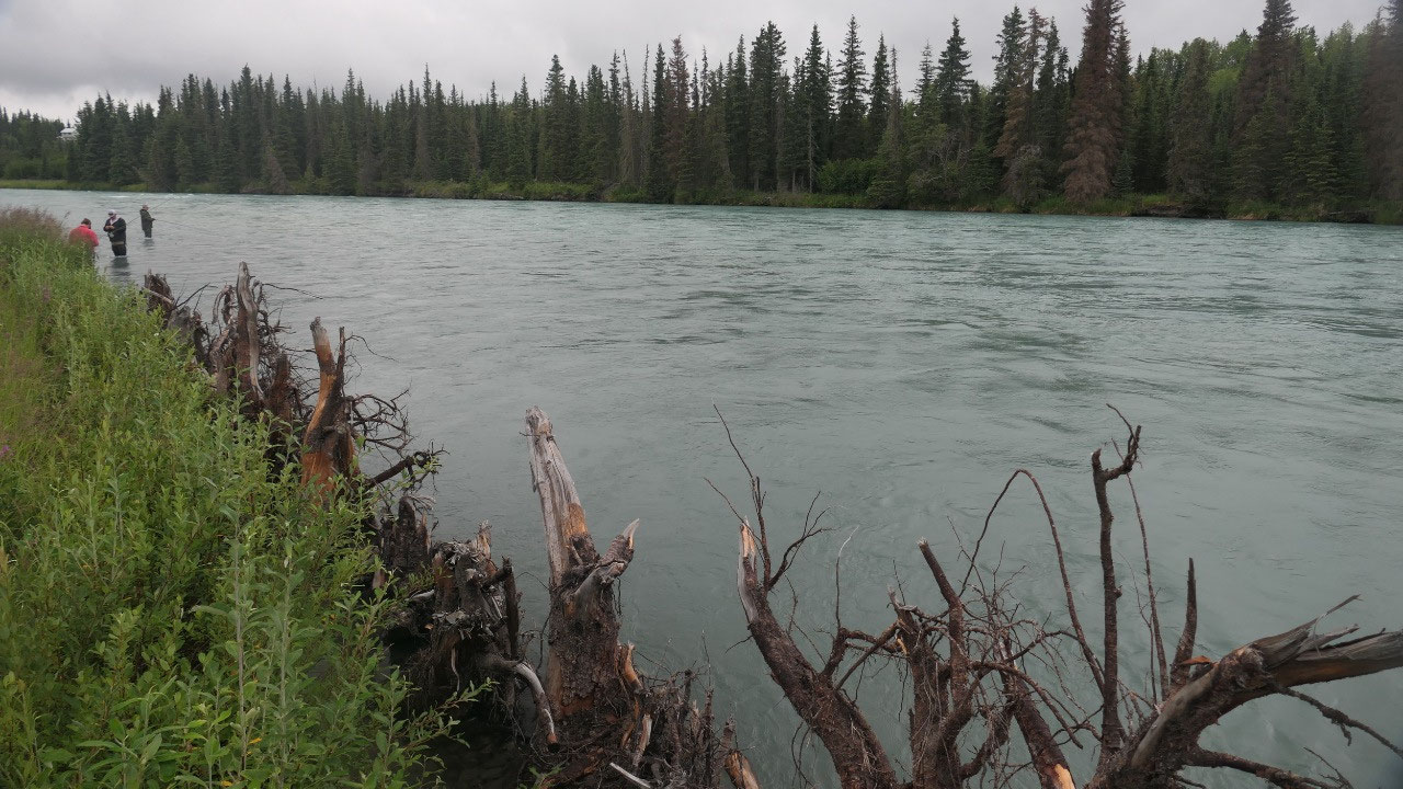
Crooked Creek State Park
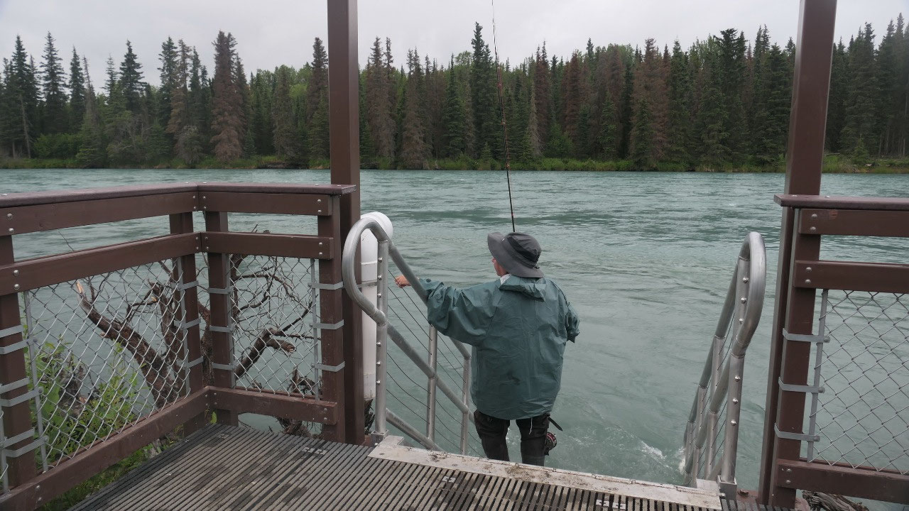
We stopped at the Crooked Creek State
Park and again lots of RV’s here and everyone walks around in their fishing
pants/boots. As we walked down to the river – which is also the beautiful
turquois color we discover a lot of steps going into the water: so you can step
in for fishing – and the people stand in the water fishing!!! Yes every river
we cross over we can see people fishing. On the way out we actually saw a
Moose, except that Paul’s truck was too noisy and it was gone super fast.
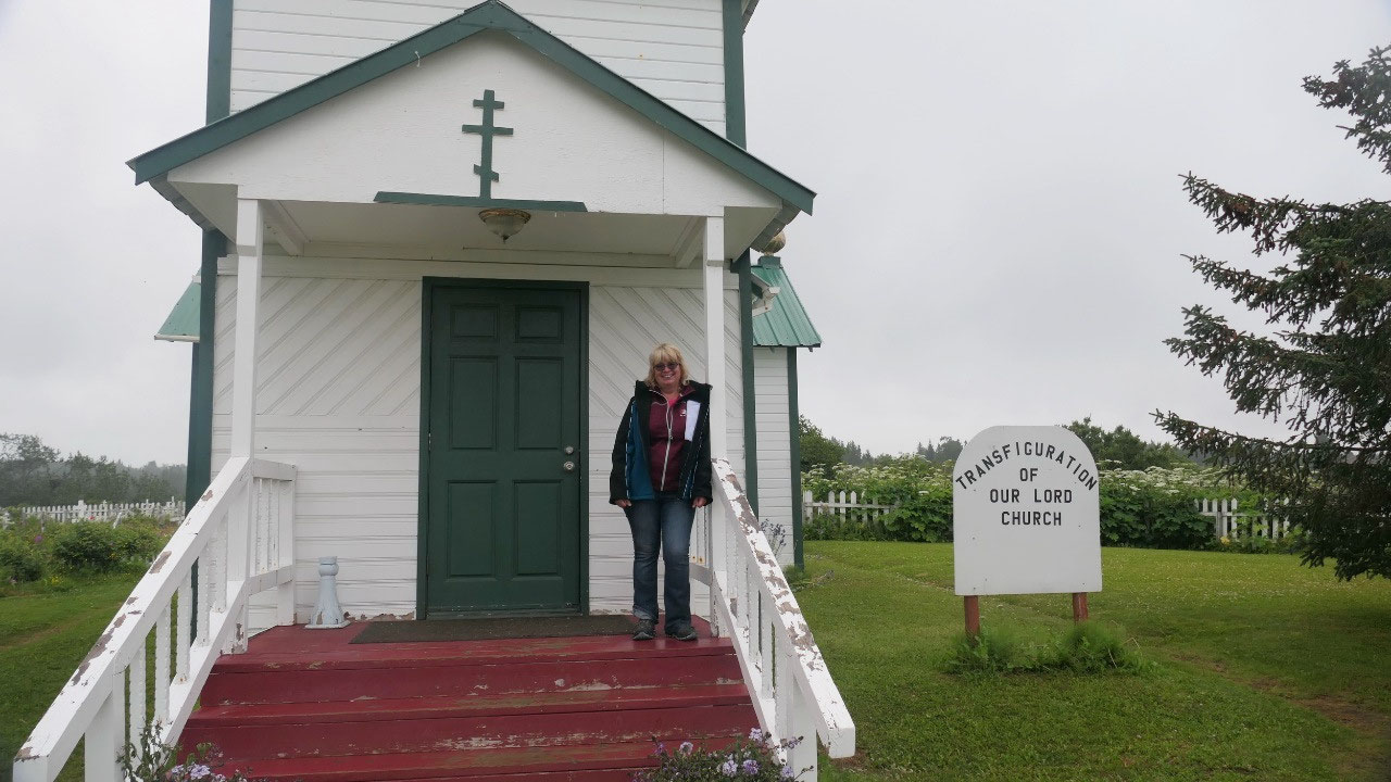
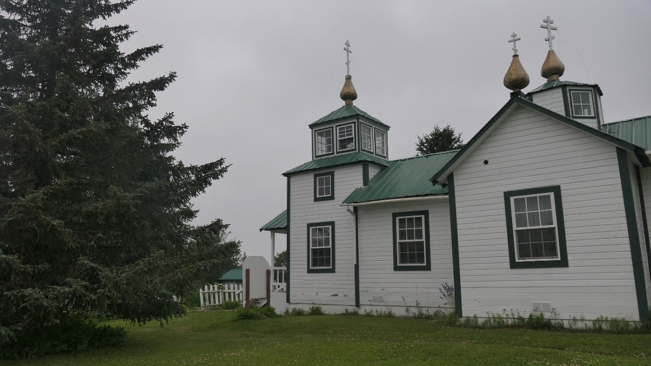
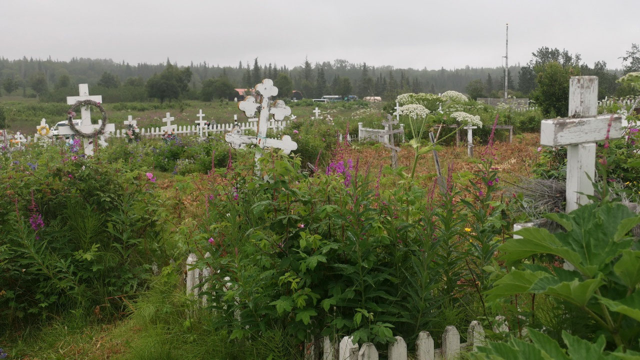
the Orthodox Church
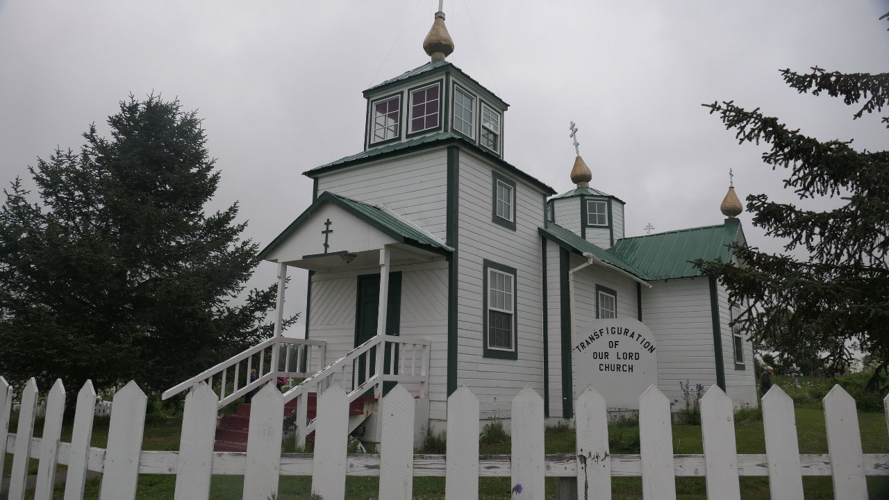
as we head further south on the
Peninsula it is more cloudy and rainy, but still it looks beautiful with the
fireweed and another white flower along the roads. Our next stop is this little
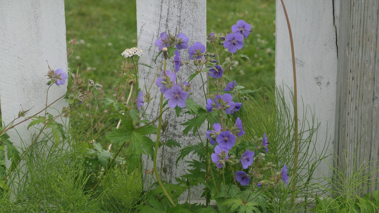
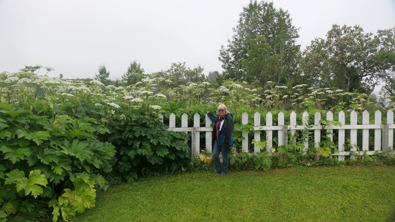
wooden Russian orthodox church – really cute, around it are those gigantic
flowers which are taller than Gine and no we can’t see the mountains only the
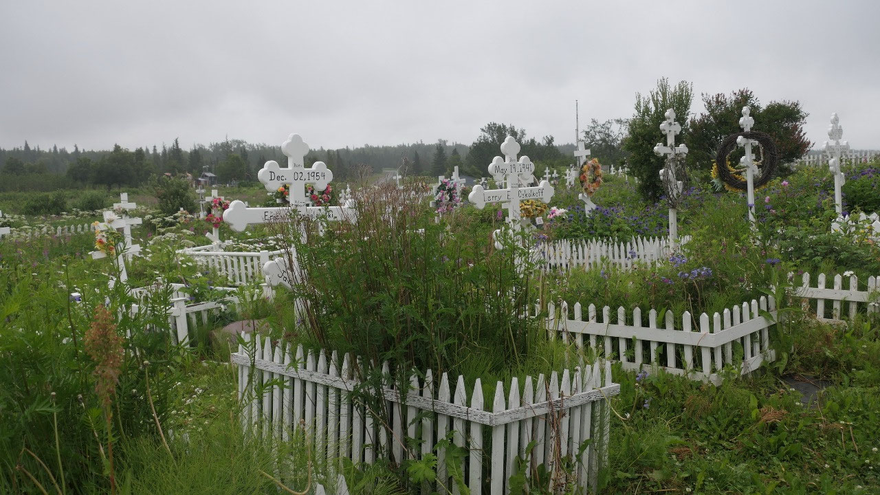
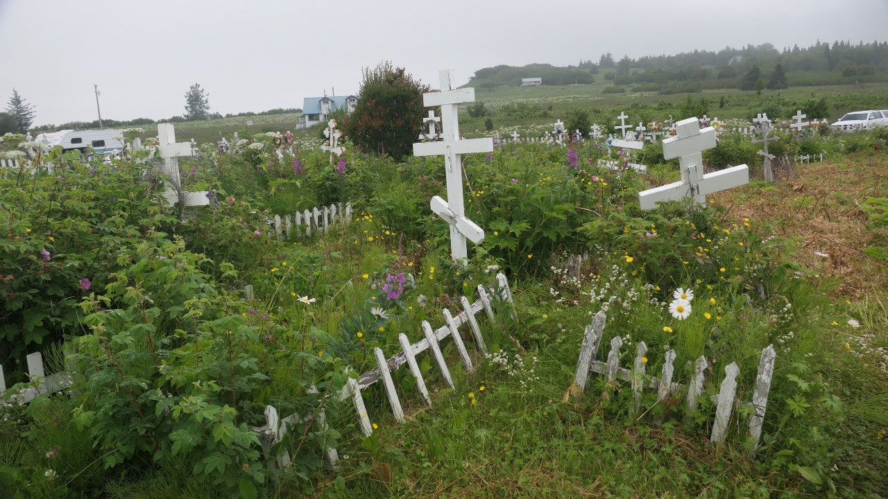
water. Right near it was a cemetery with the white picket fences and again
those typical Russian crosses.
- The church was built in 1901 with five little golden domes
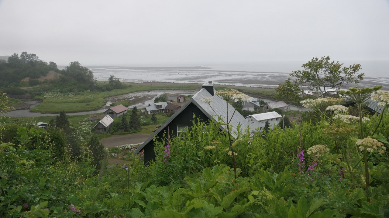
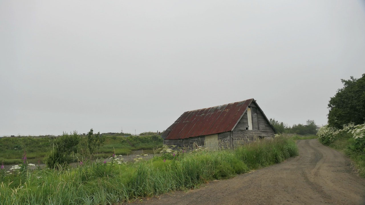
We then turned and went down to the
end of a road here was the old town of Ninilchik, which we saw from the top of
the cliff at the church: a lot of old log homes – this was the old Russian
settlement.
- It is one of the oldest villages on the Kenai Peninsula – the first settlers the Russian came in 1847 from Kodiak
- The name Ninilchik means “lodge is built place” – once here lived the Dena’ina Athabascan
Russians in Alaska:
- Between 1741 and 1867: Alaska belonged to Russia
- In 1725 the Czar of Russia sent the first espedition led by Vitus Bering to explore beyon the eastern edge of Siberia and in 1741 he reached on his 2nd voyage what is now Alaska
- They saw many sea mammals but no other Europeans and claimed it for Russia: fur trading was a big business
- The first settlement in Alaska was on Kodiak Island starting in 1784 from there they expanded into the Cook inland and started Kasilof in 1787, a fort and regional trade Center St. Nikolas was built in 1791 in Kenai
- The Russian-American Company was formed and brought priests and education in 1845
- Russia never developed industry and it was mostly male-workers communities
- Russia sold to the US in 1867 and some of the migrant workers stayed on as they had families with native Alaskan women
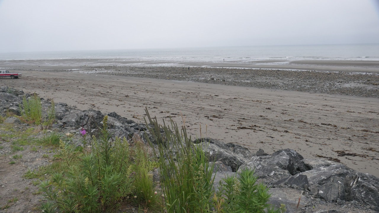
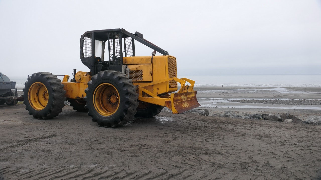
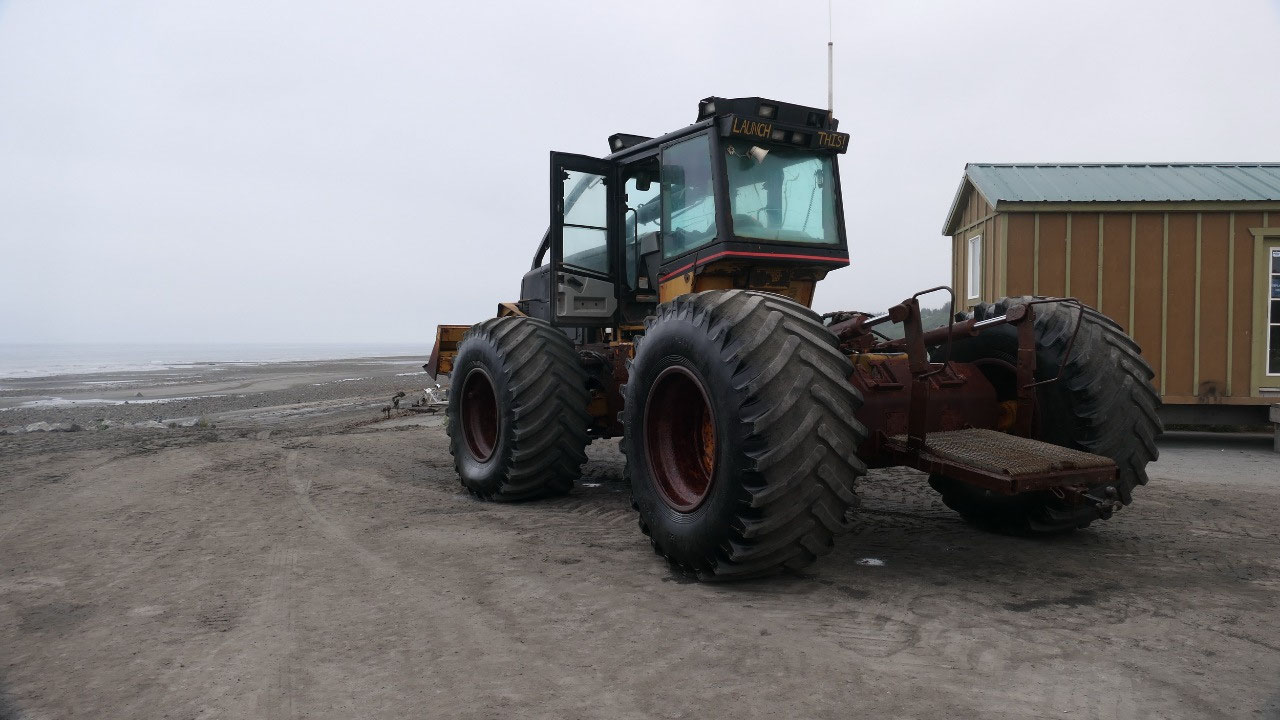
Anchor Point State Park
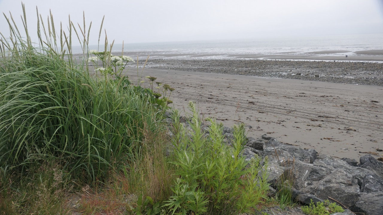
We then came through Anchor Point: the
interesting part is that here is the most western Point on any highway in North
America. We drove all the way down to the ocean: one campground near the next
one – yes people come for fishing. At the end we came to the ocean and saw some
big tractors they use them to pull out the boats from the ocean – sadly we came
to late and couldn’t see it.
- We are at the most western point of the highways in North America
- Capt Cook came here in summer of 1778 when he sailed the inlet in search of the North West Passage and named it Laida – the homesteaders renamed it Anchor point because the loss of an anchor off the point by Captain cook


2025-05-22