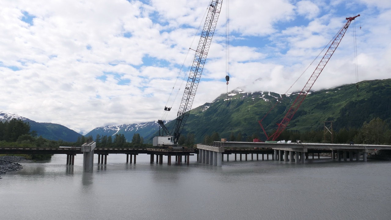
 Whittier, Alaska, United States
Whittier
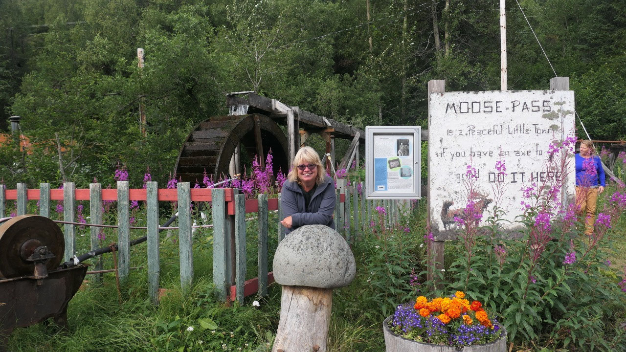
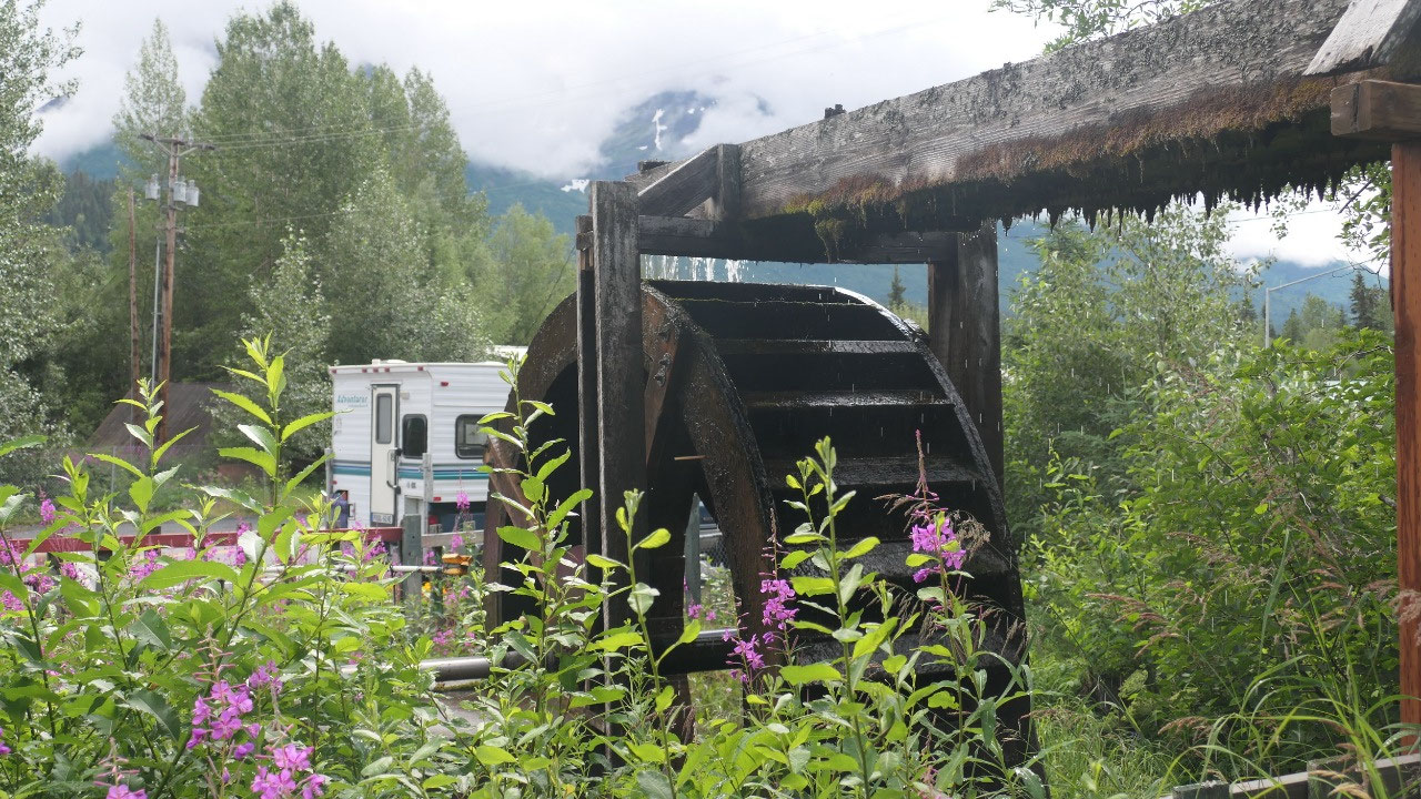
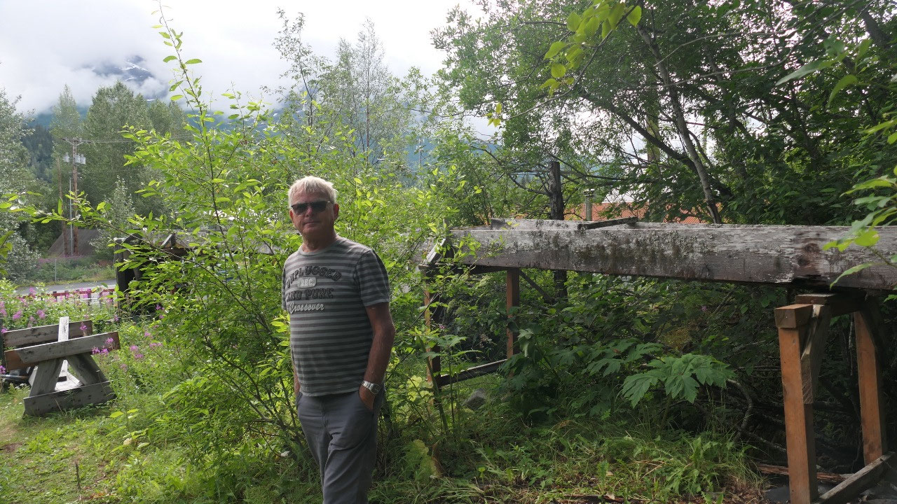
The Wagon Wheel in Moose Pass
- In case you wonder about the name: legend says that a mail carrier travelling by dog sled along the historic Iditarod trail in 1903 was met by a moose and had difficulty passing. When Oscar Christensen and Mickey Natt came to the same area by horse and dog team they had the same problem but thye never left: they built a road house
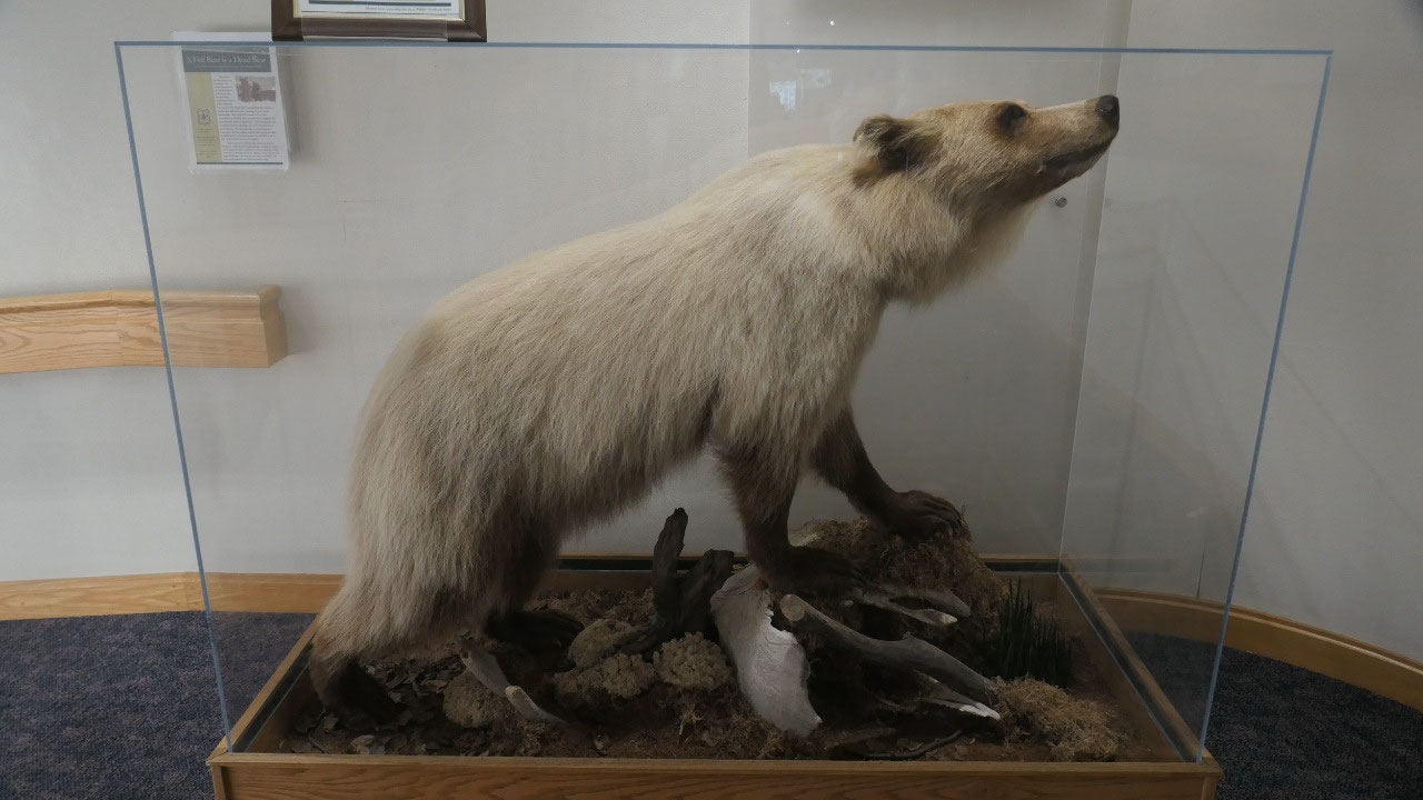
Gine read that this little community
has a waterwheel with grinder but not where – as we drive along we actually see
it – perfect for a short stop. It looks old and it looks like the original old
wooden water-run is still there, but nearly rotten off, sometimes missing, but
with a nice plastic pipe it is still working: and they still have the grinder
stone there to sharpen your ax – mmhh we wondered if it is still working. Gine
loved the stone-tree mushroom a lot – if only we could get one like it.
- Once this was a construction camp on the Alaska Railroad in 1912
- In 1928 Estes Roycroft built a pelton wheel hydroelectric plant for the town, this gave the town electricity until 1956. In 1964 his stepson started to restore the water power system. Then in 1980 some descendants built a 10-ft water wheel with a grindstone attached and Ed Roycroft maintained it. After he died in 1996 his children paid some locals to keep it going.
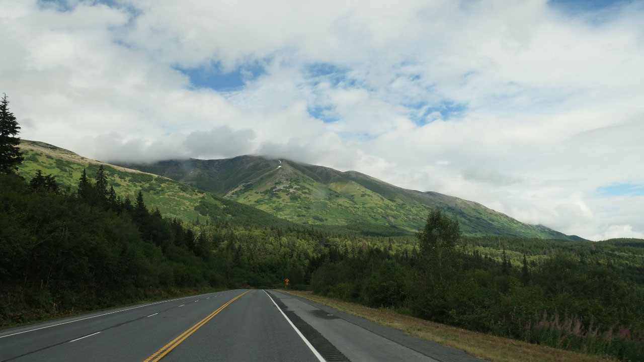
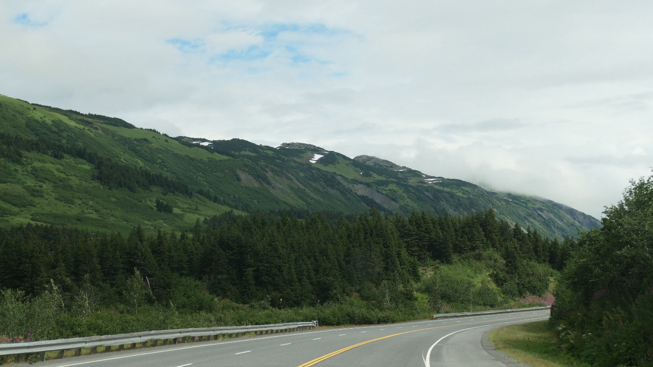
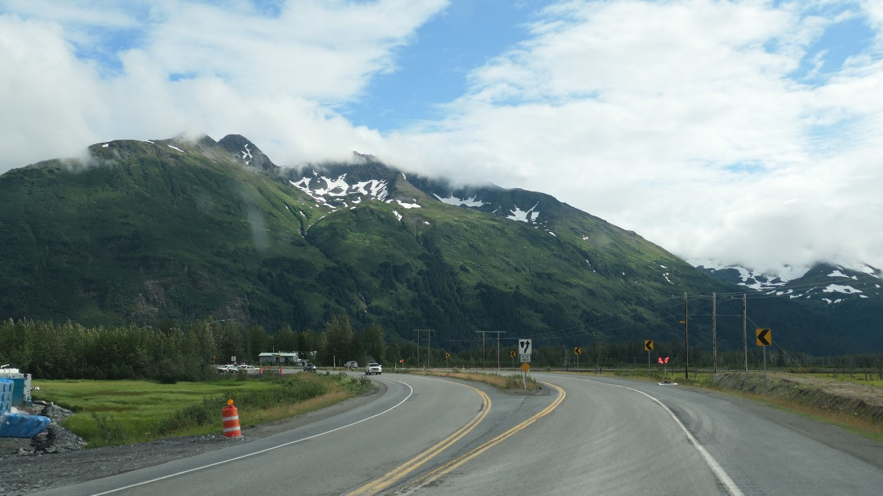
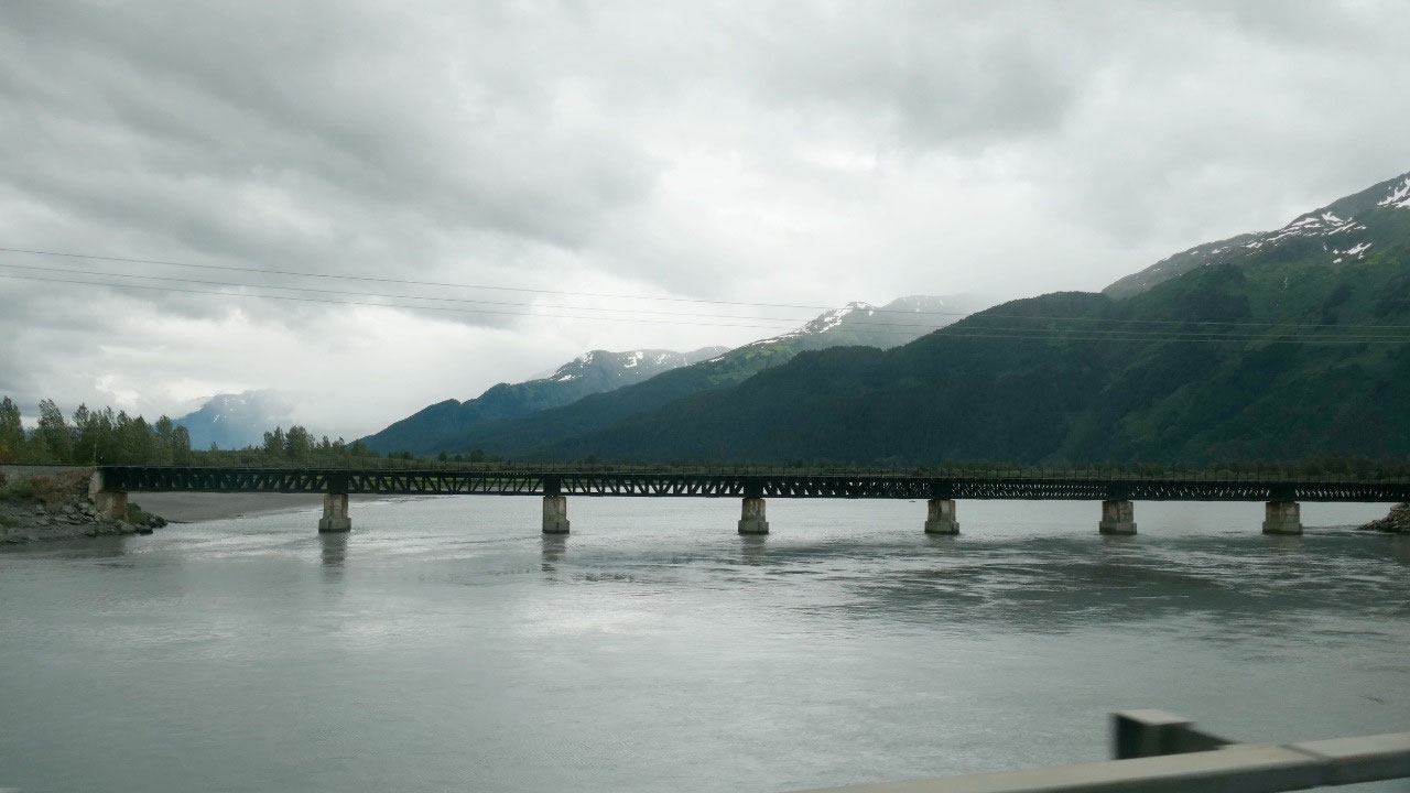
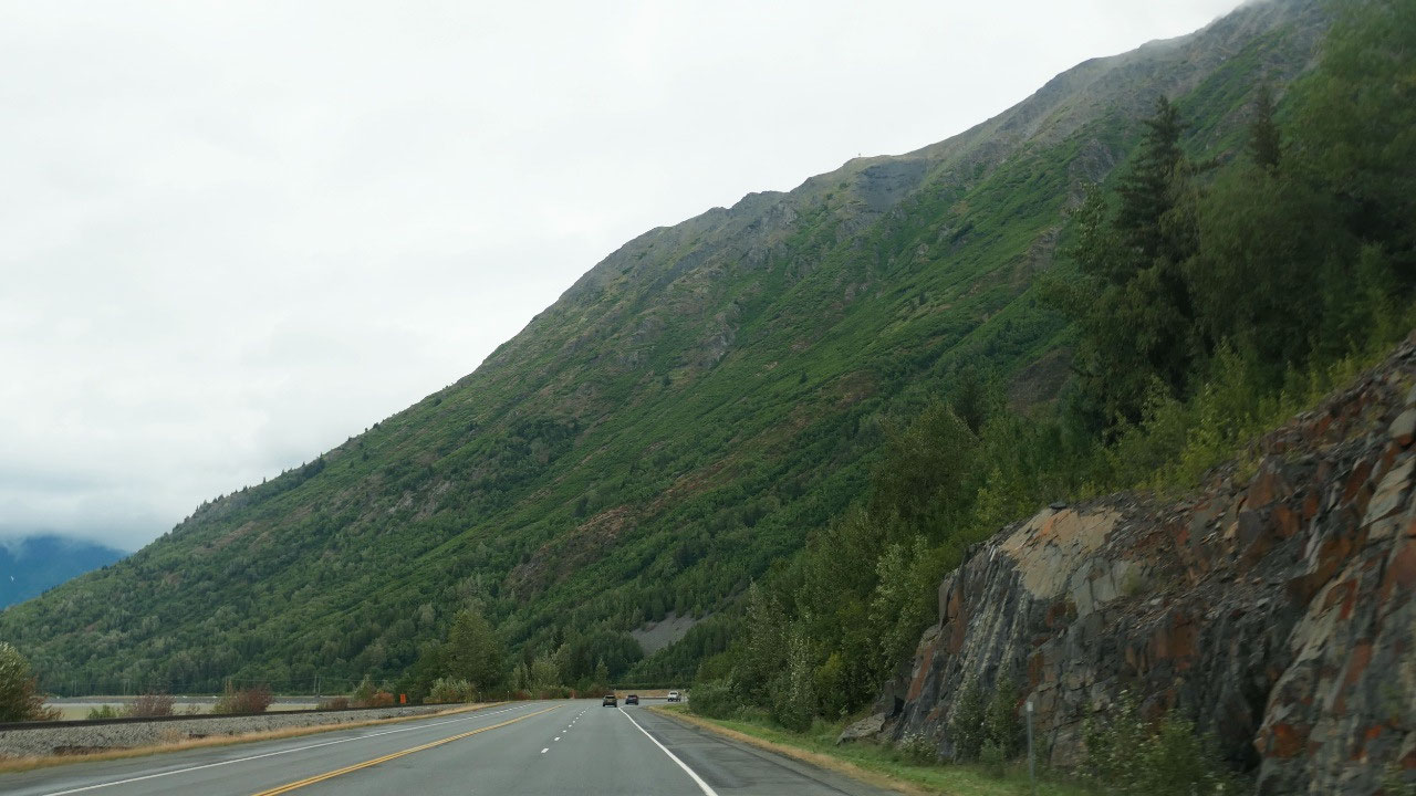
Over the Pass
We are now back on Alaska Hwy #1: it
is worth mentioning that the highway signs all have the big dipper on it and
above the number of the highway the North Star.
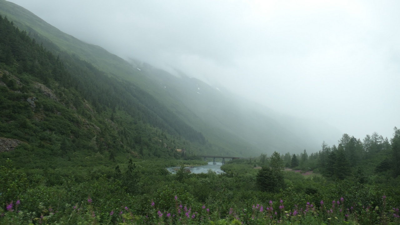
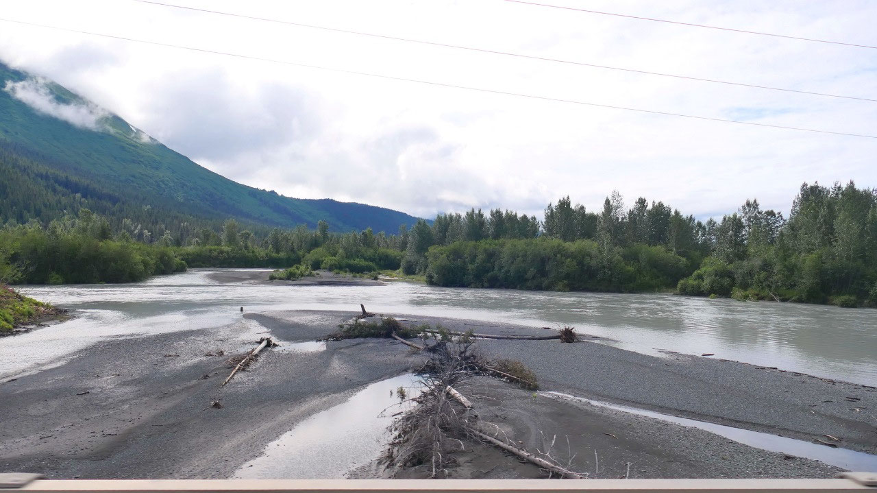
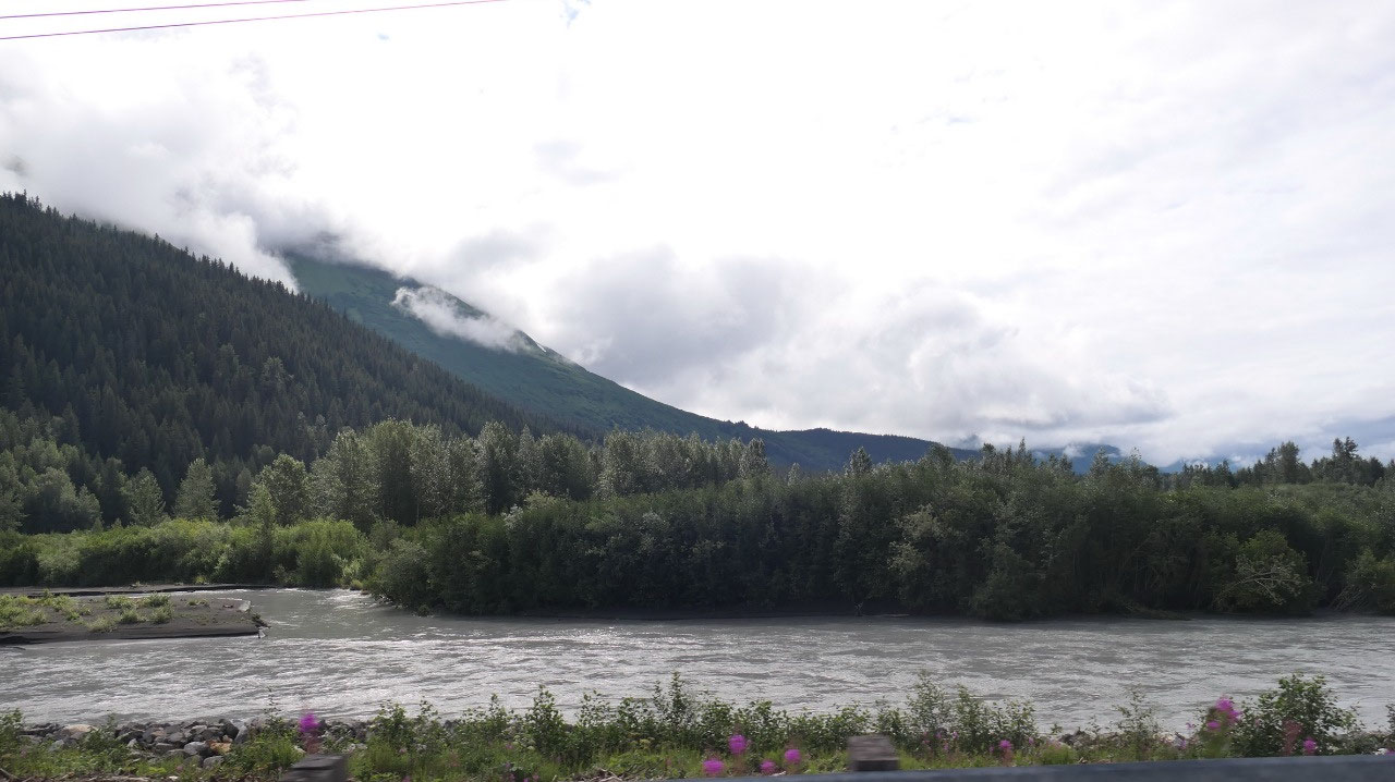
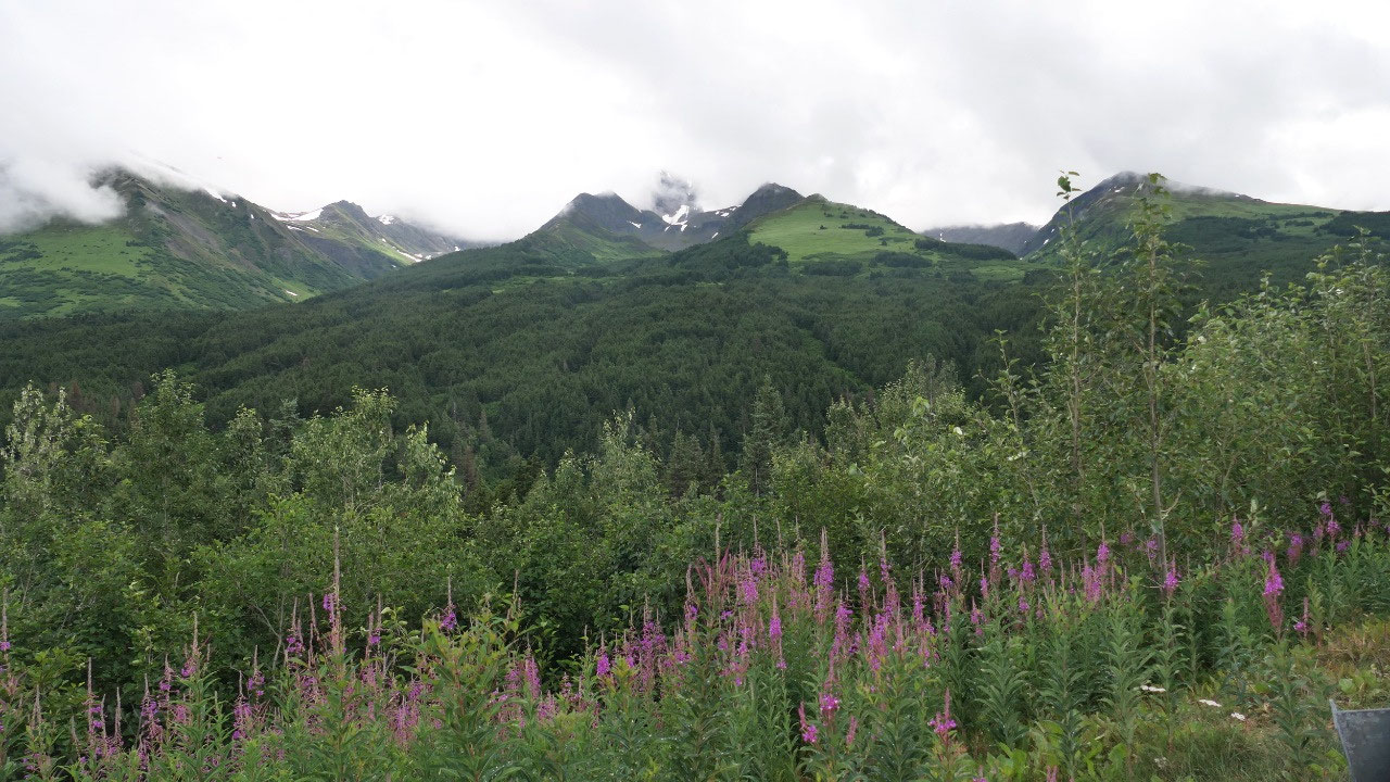
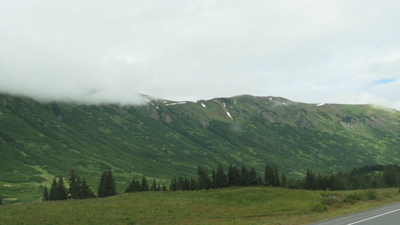
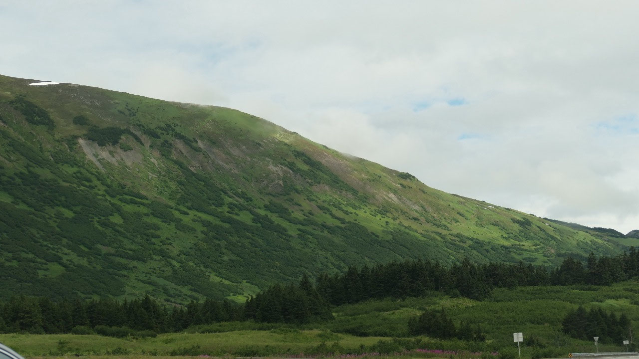
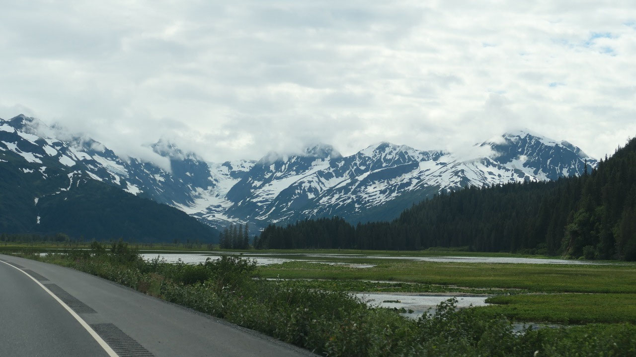
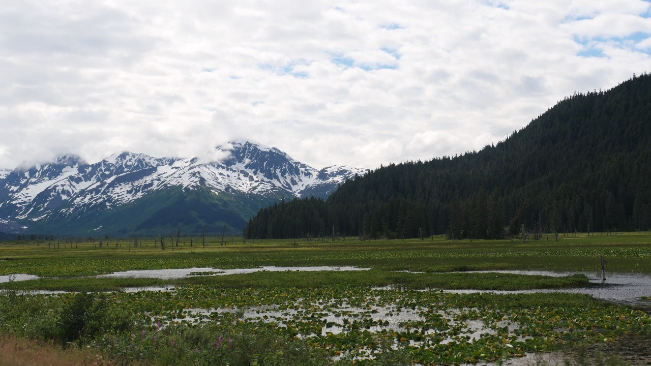
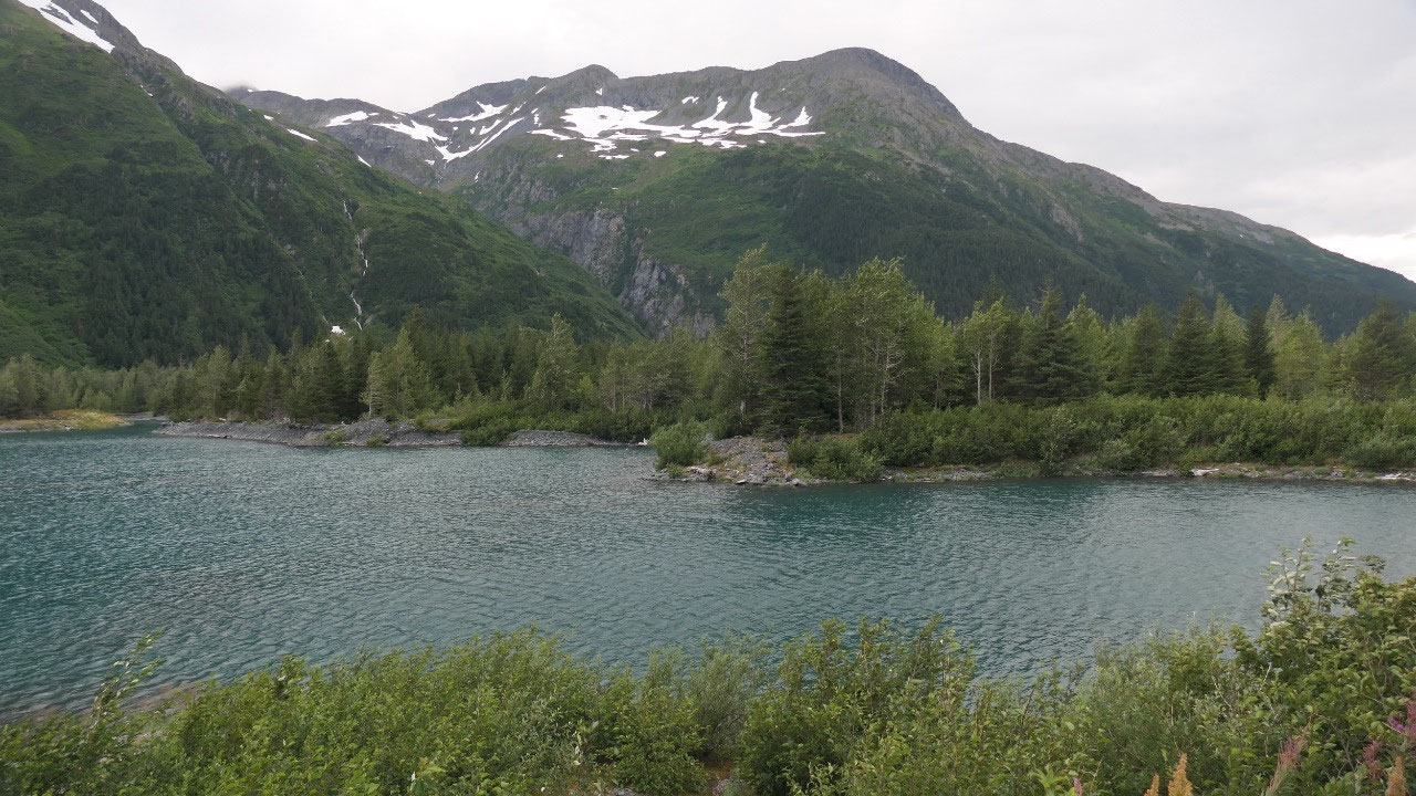
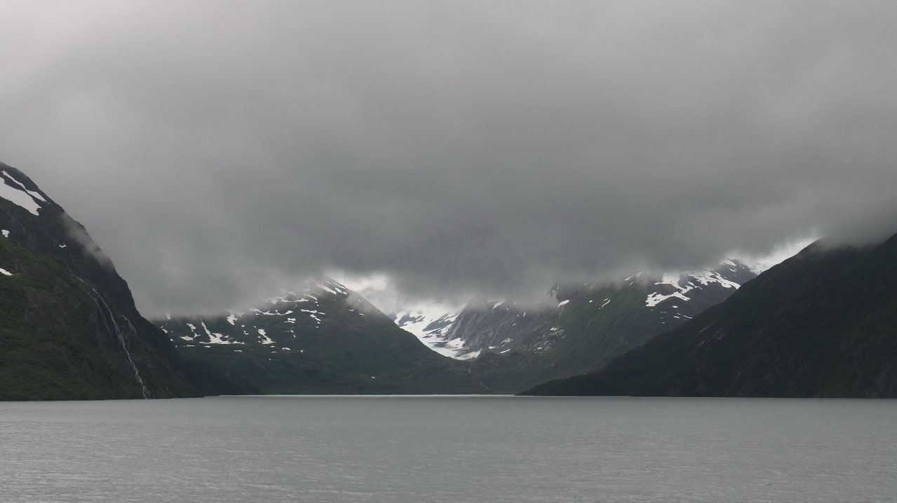
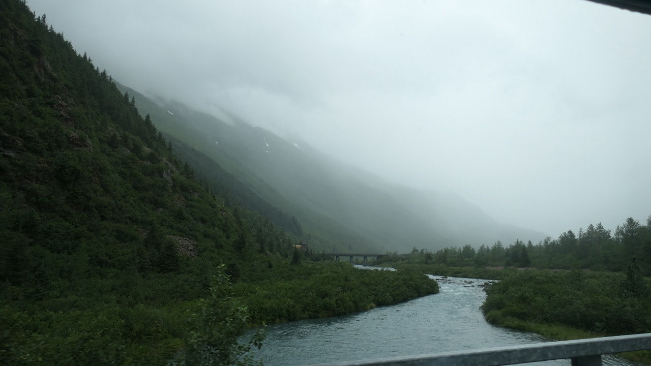
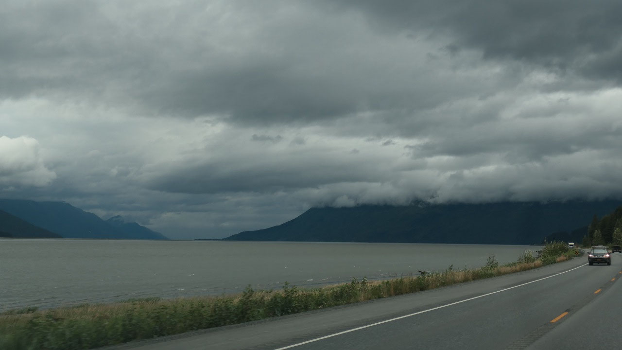
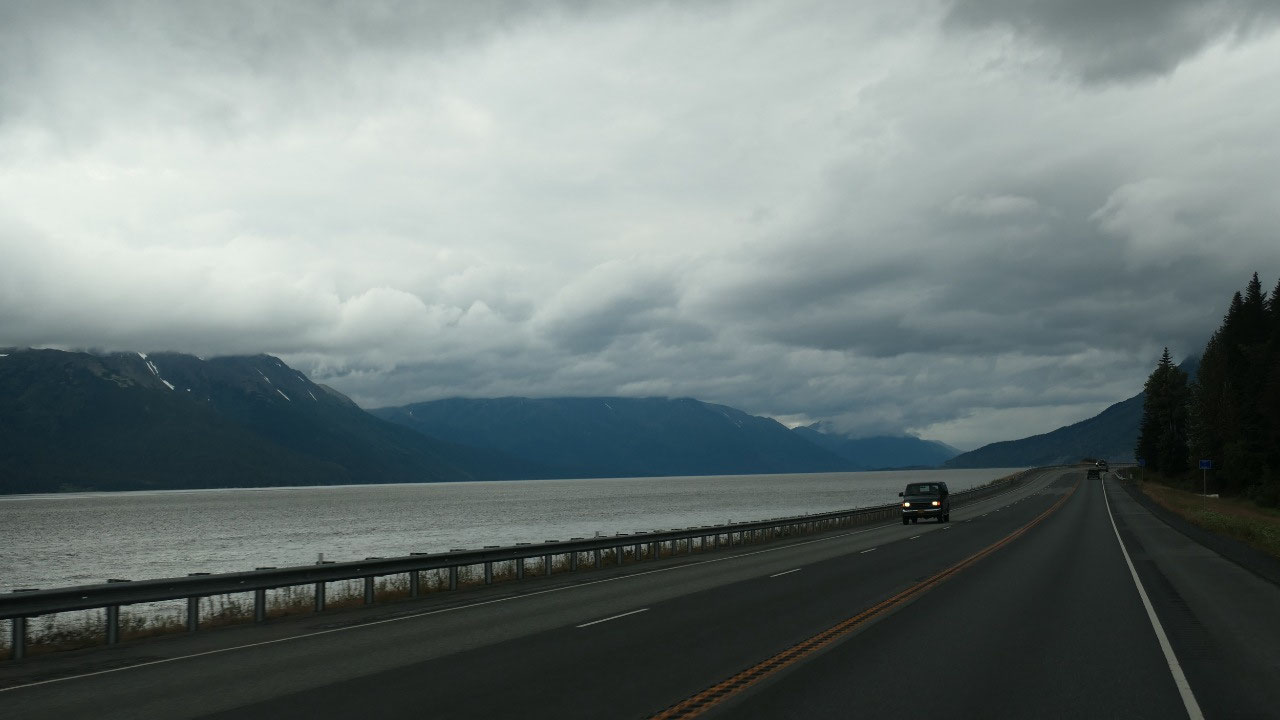
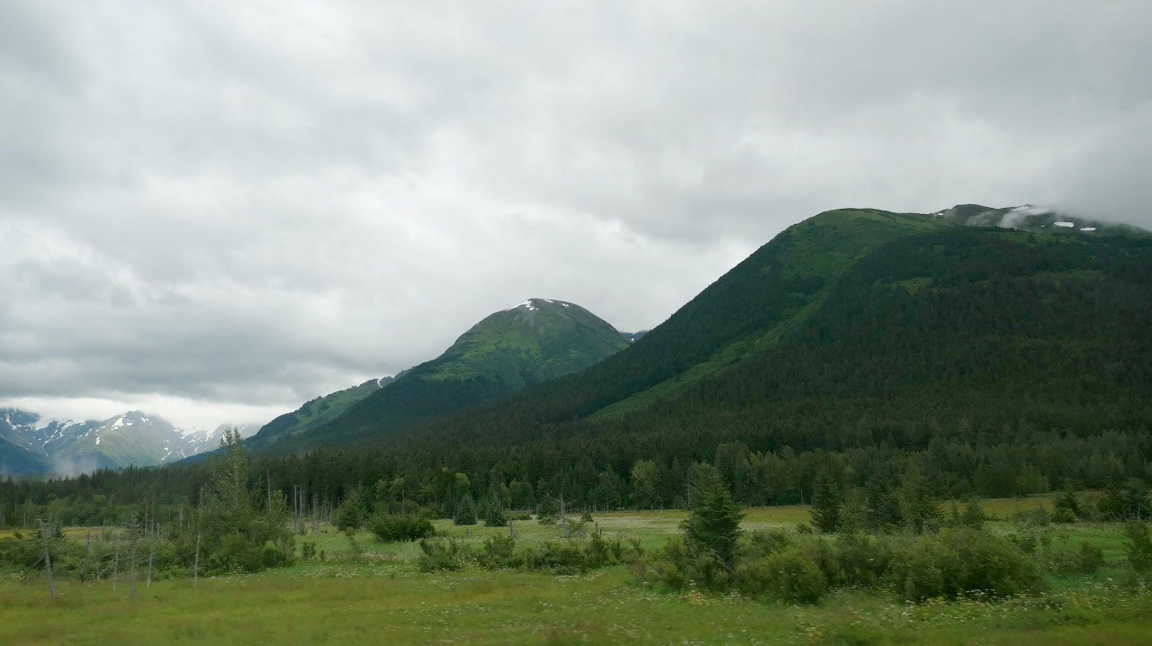
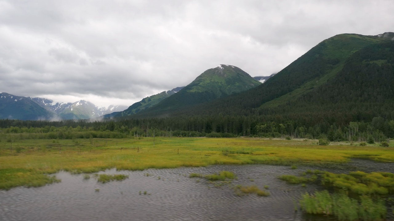
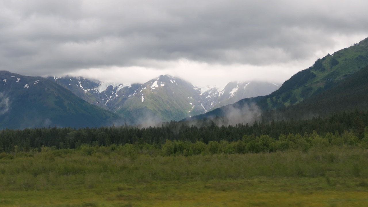
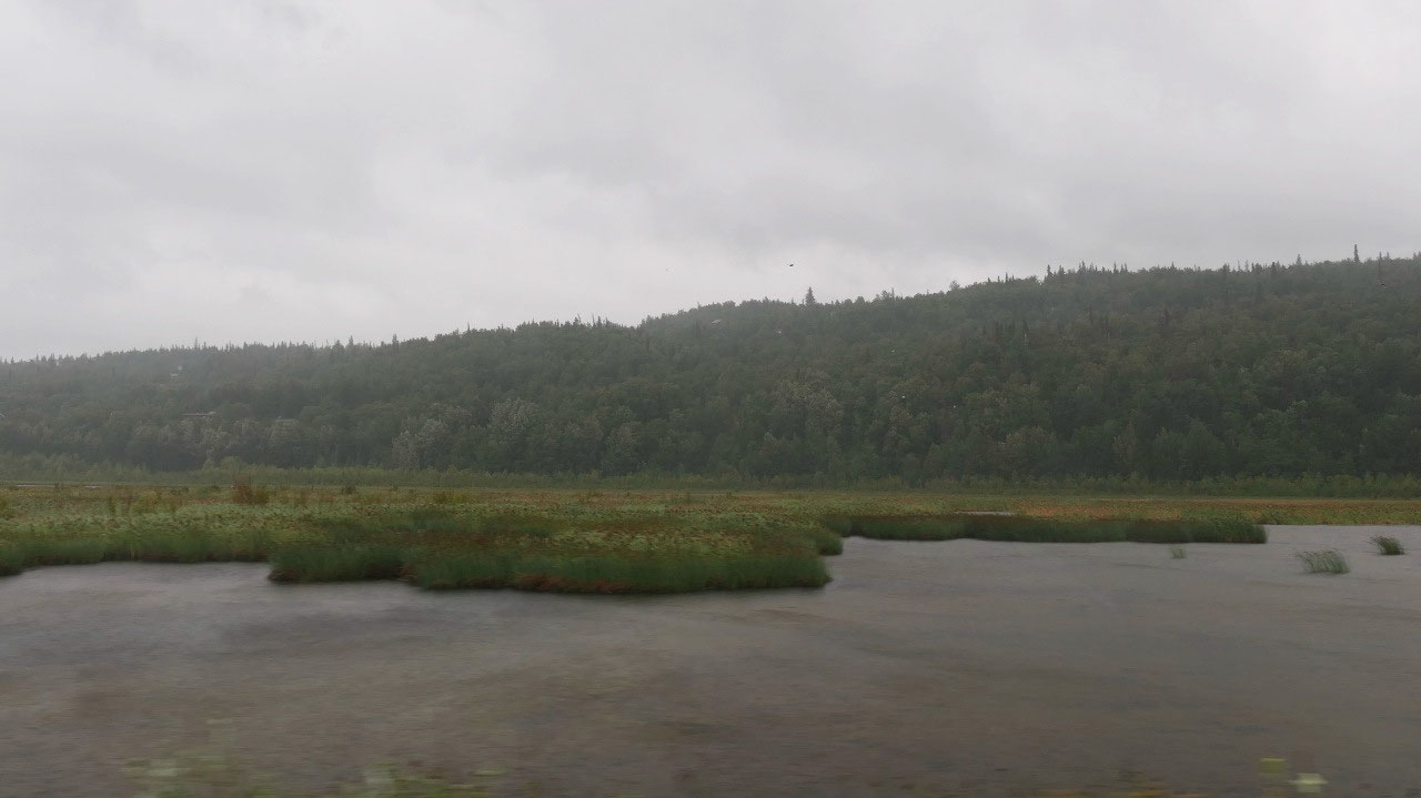
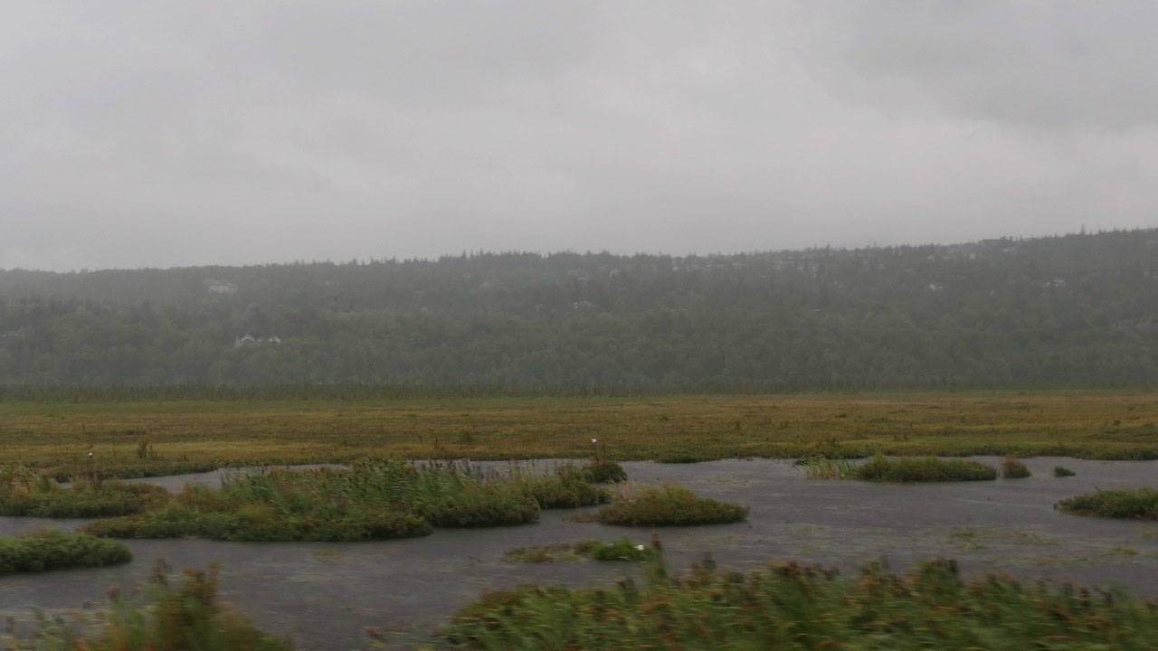
Back over Turnaggen Pass with the
amazing green mountains – we headed towards Turniggan Arm and the Moose Flats –
endless flat lands – except we didn’t see any Moose – but we did had some
amazing views on snow-covered mountains.
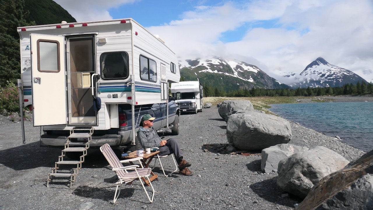
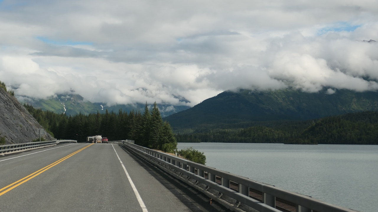
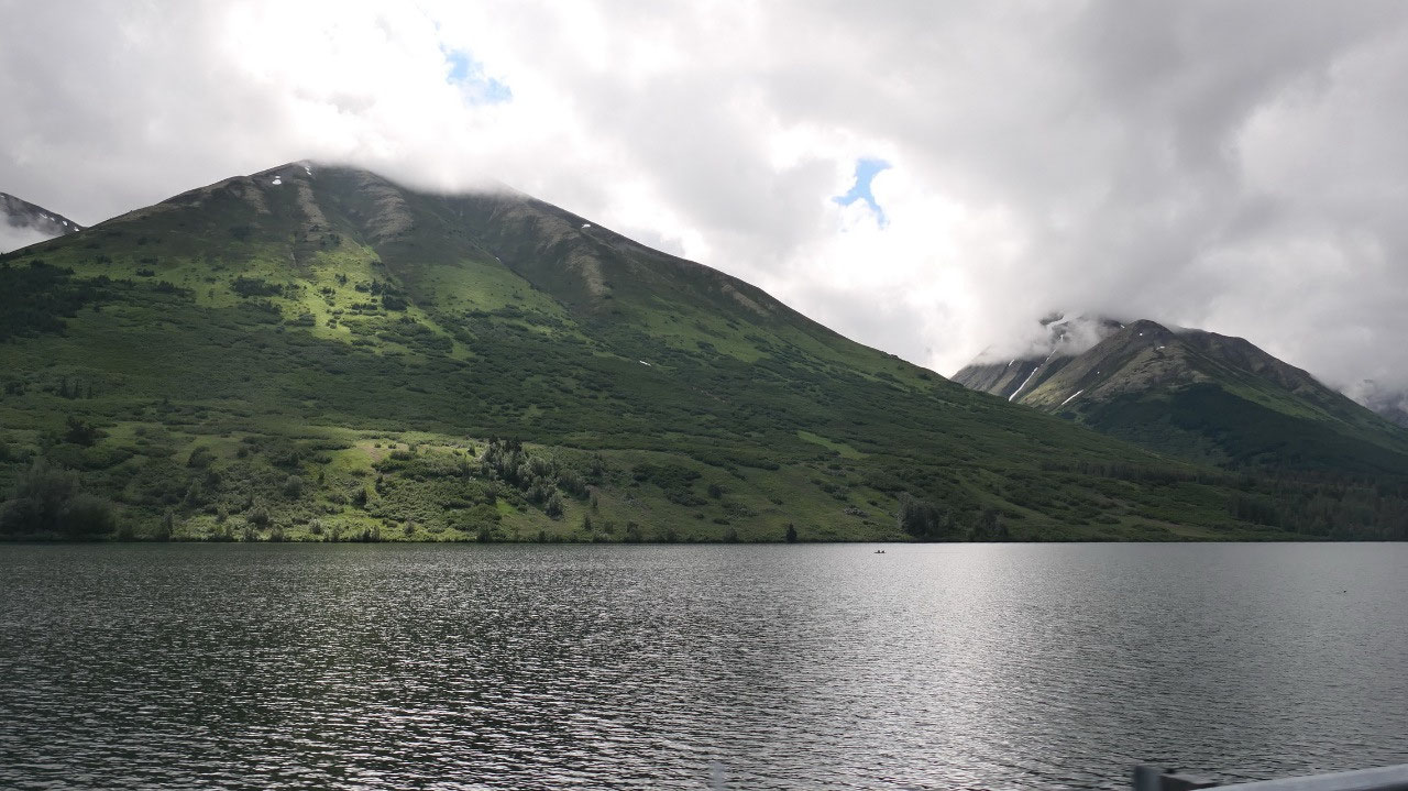
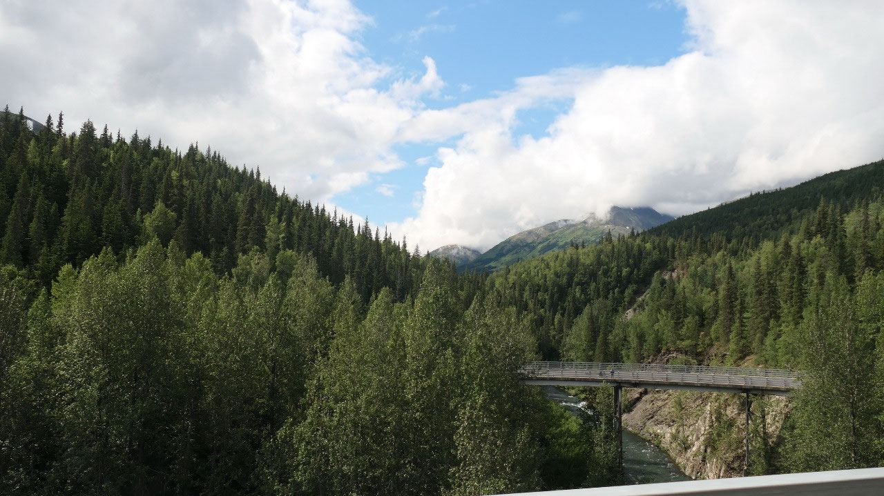
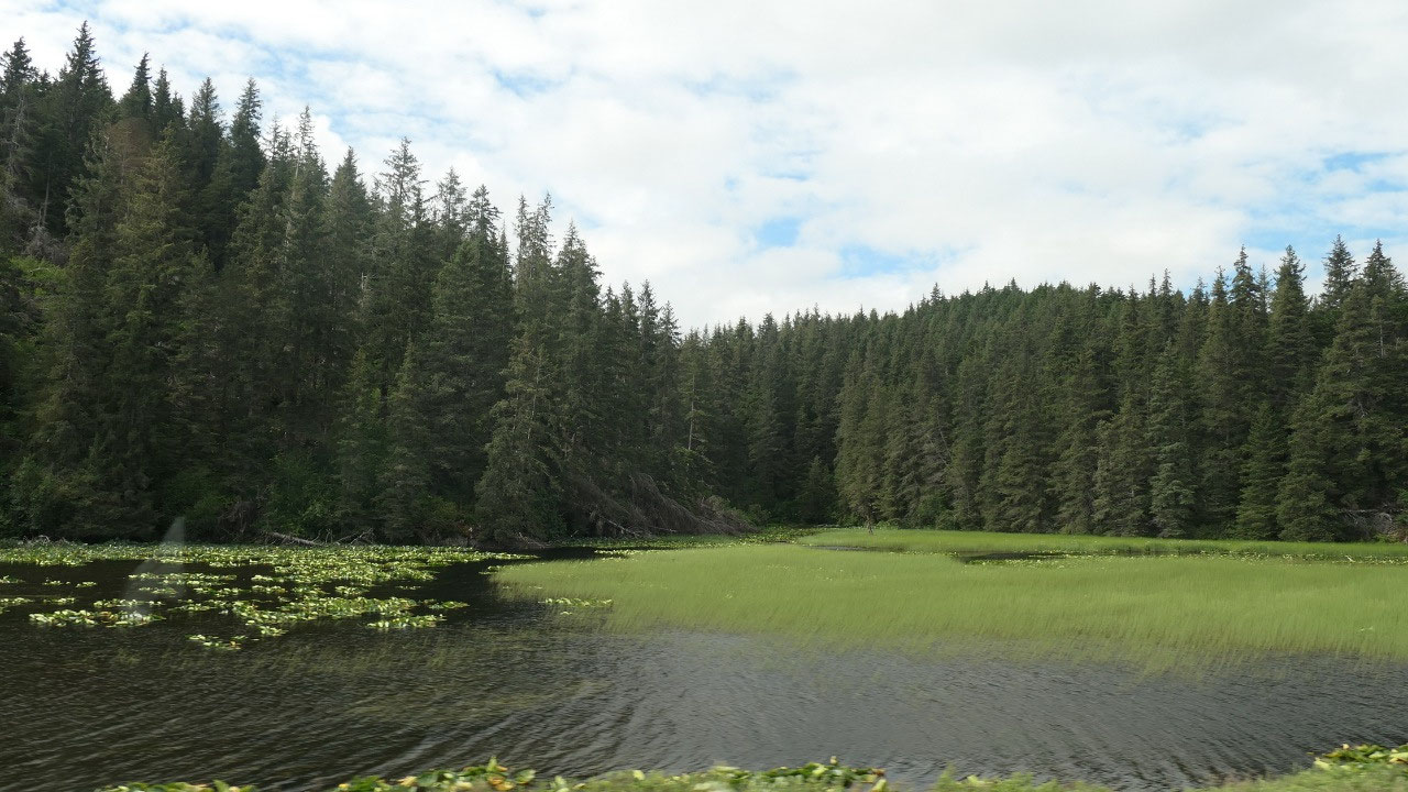
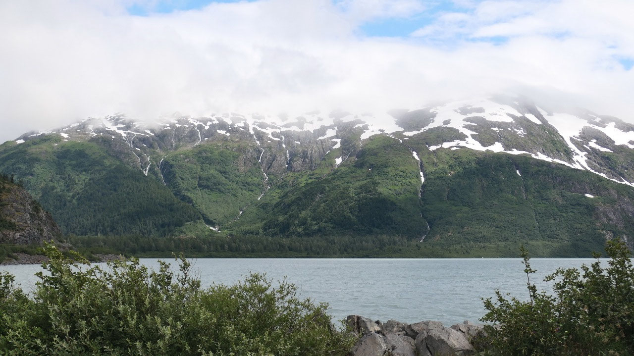
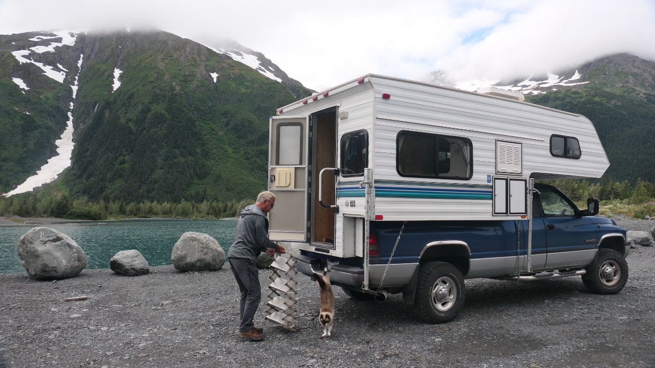
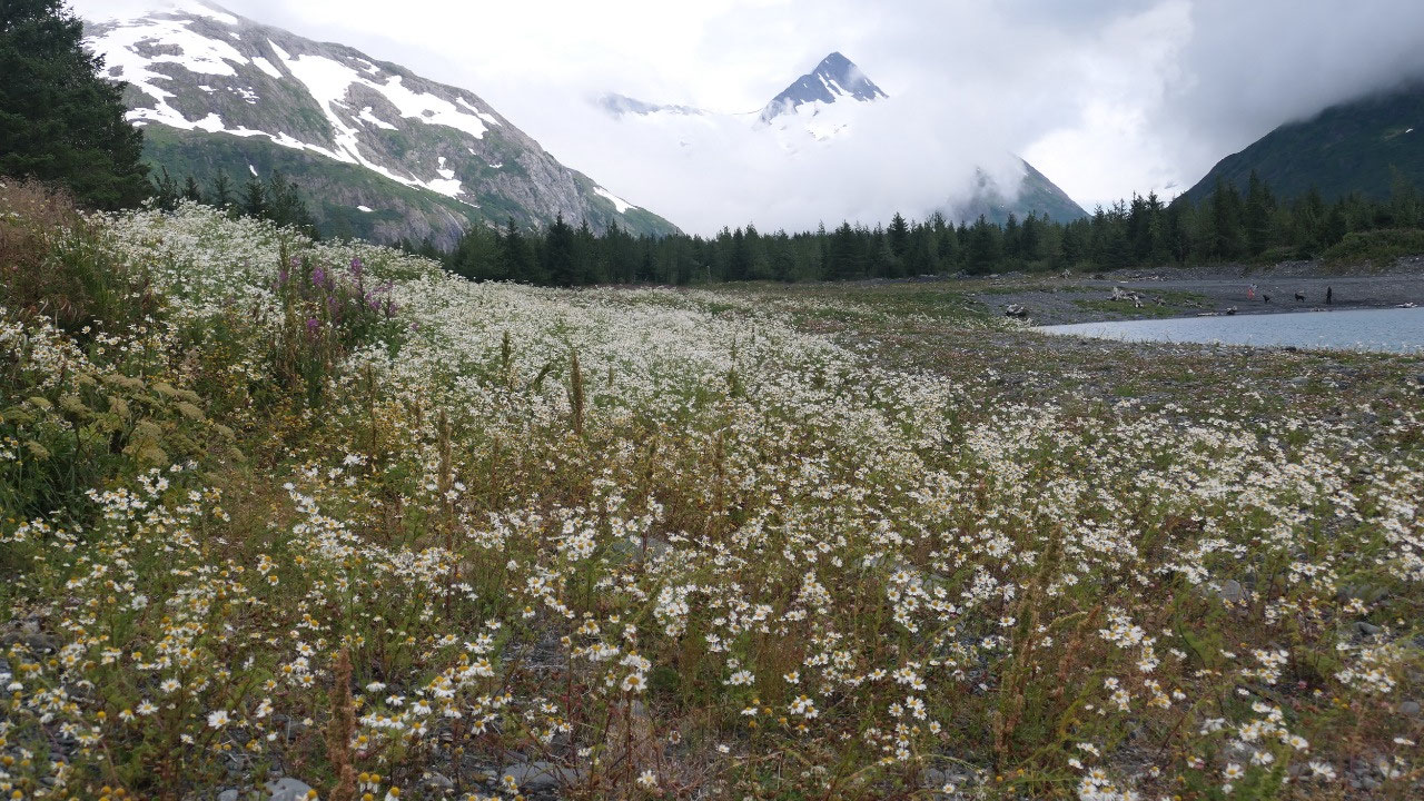
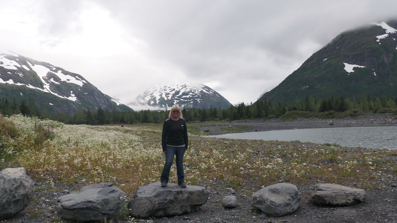
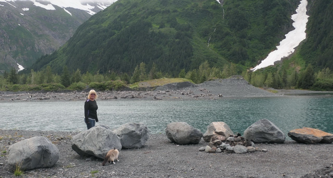
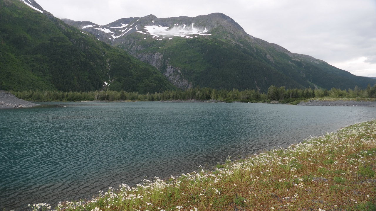
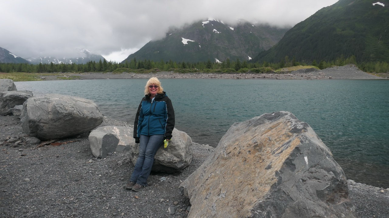
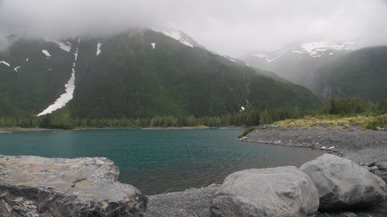
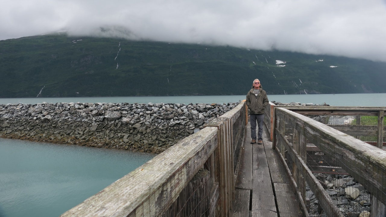
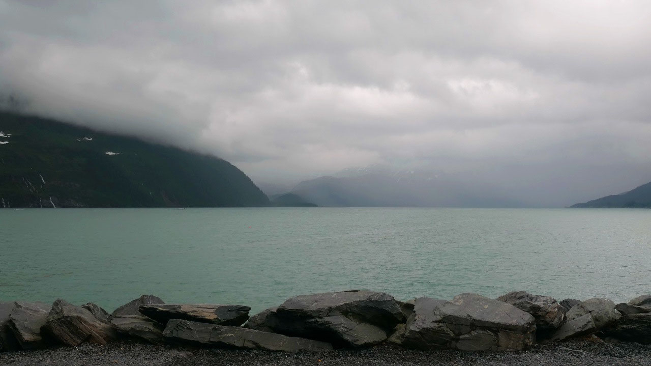
Break at a super nice glacier lake
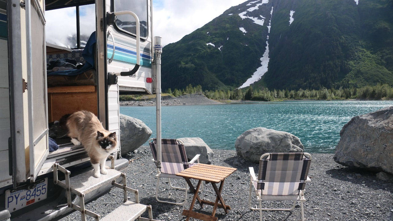
As we went down the Portage Road
towards Whittier, Gine saw a gravel road going to a lake and said: Paul we need
to turn around and have coffee here. It is a beautiful turquois lake with waterfalls
going in, lakefront – perfect to clean up our camper (which was difficult in
the city) and then a nice cup of coffee – wow what a beautiful spot – this
would be perfect in sunshine.
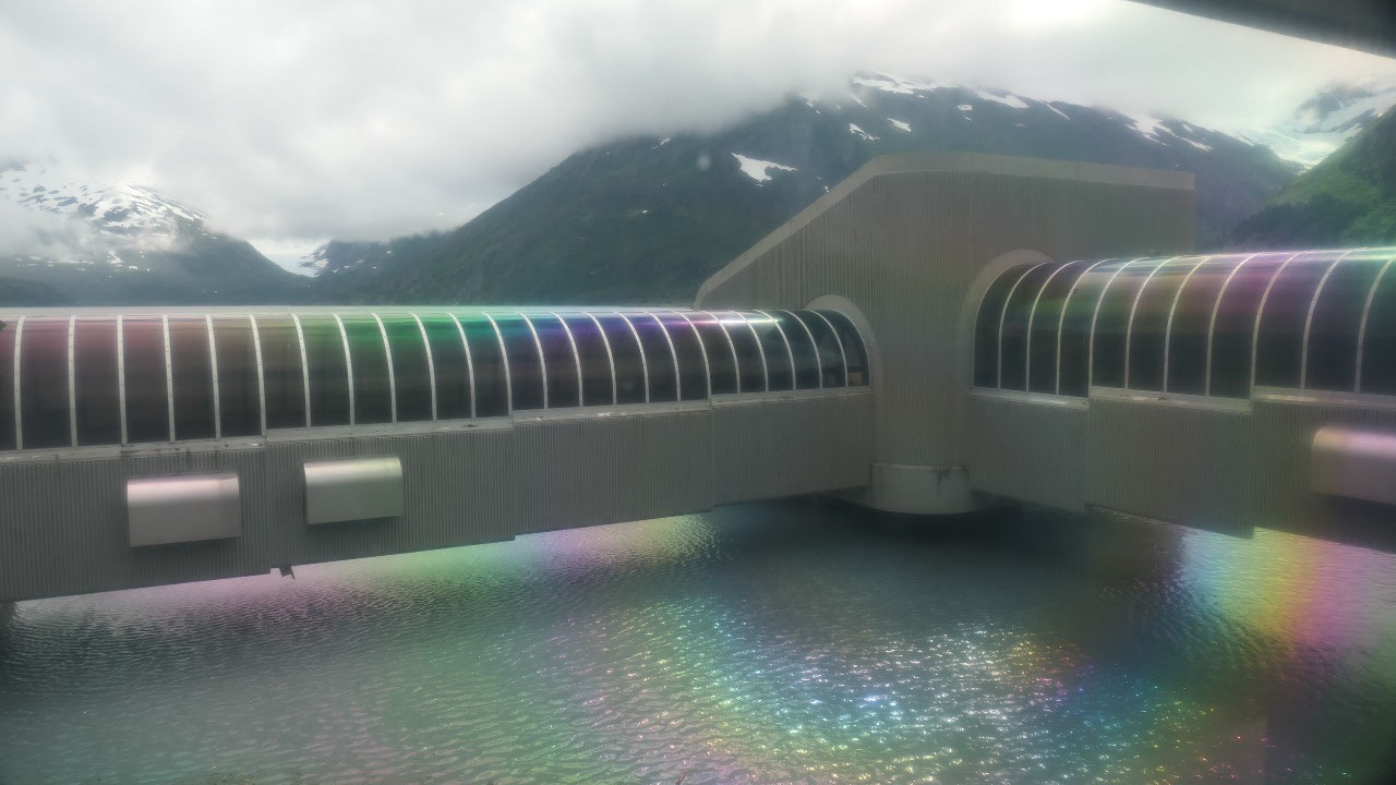
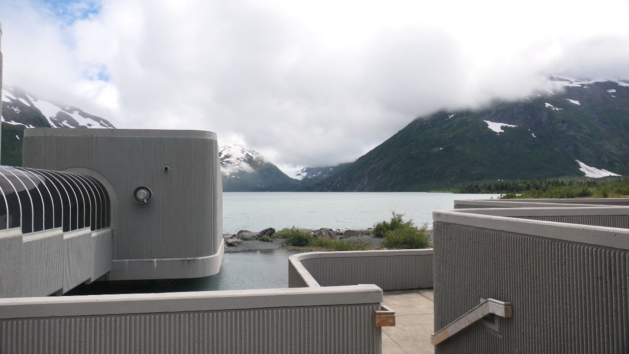
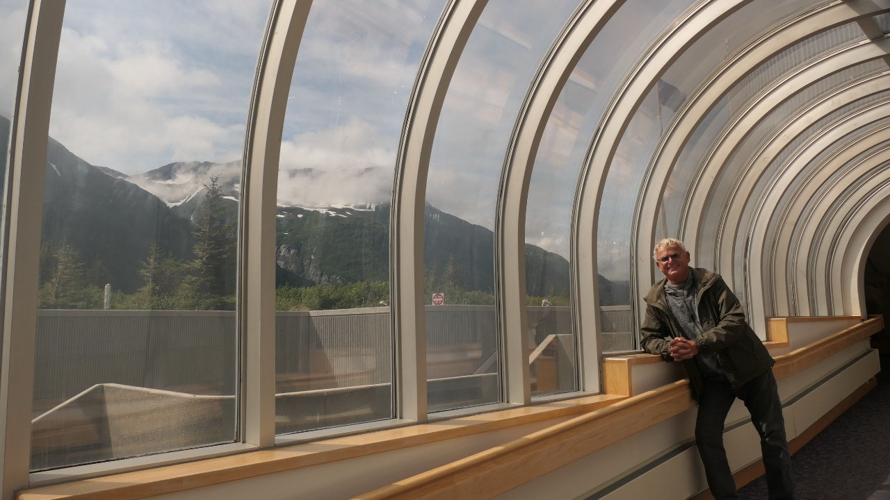
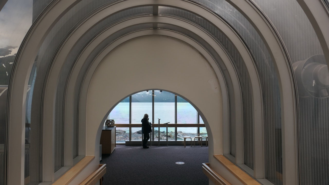
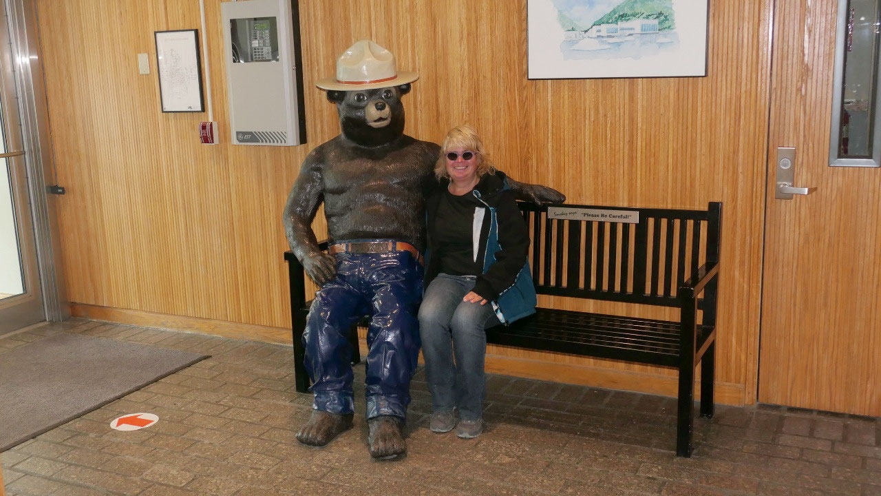
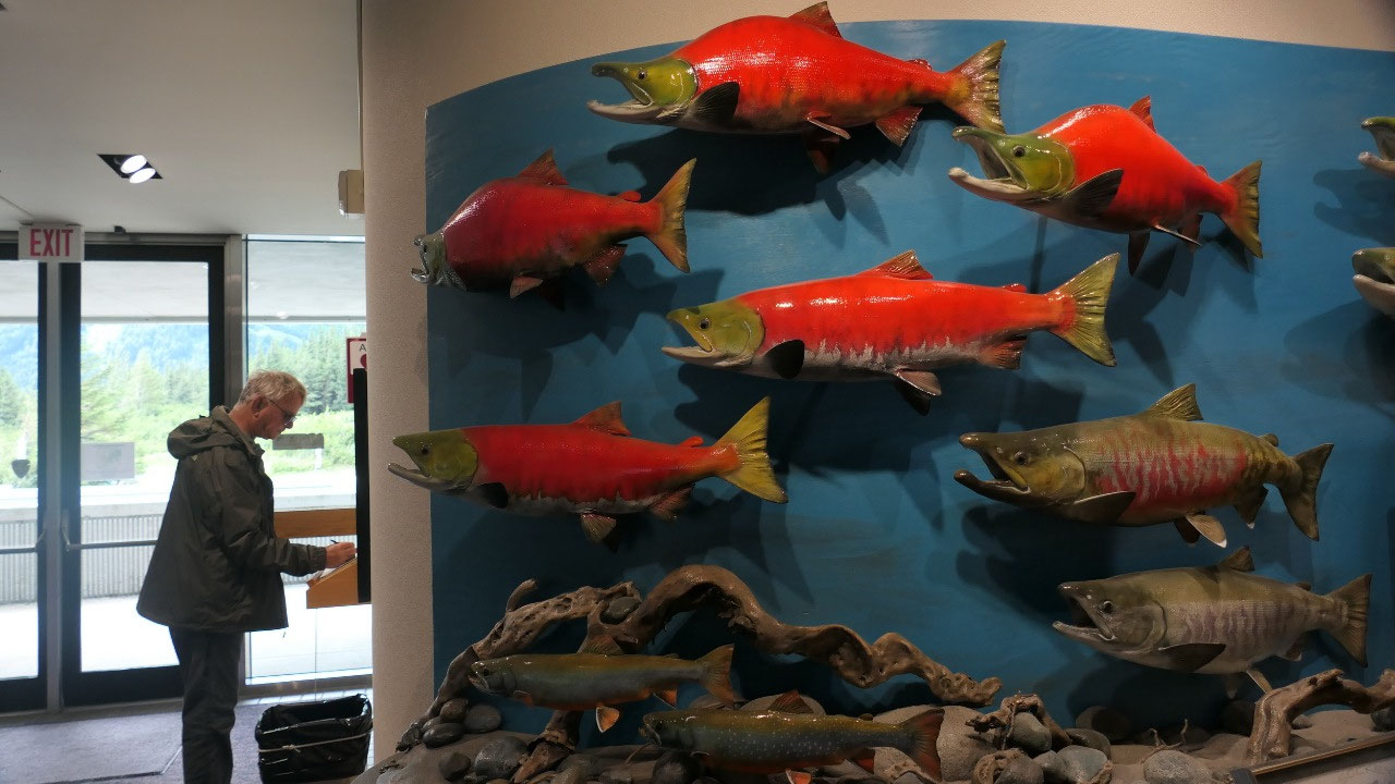
Beggich Boggs Visitor Info
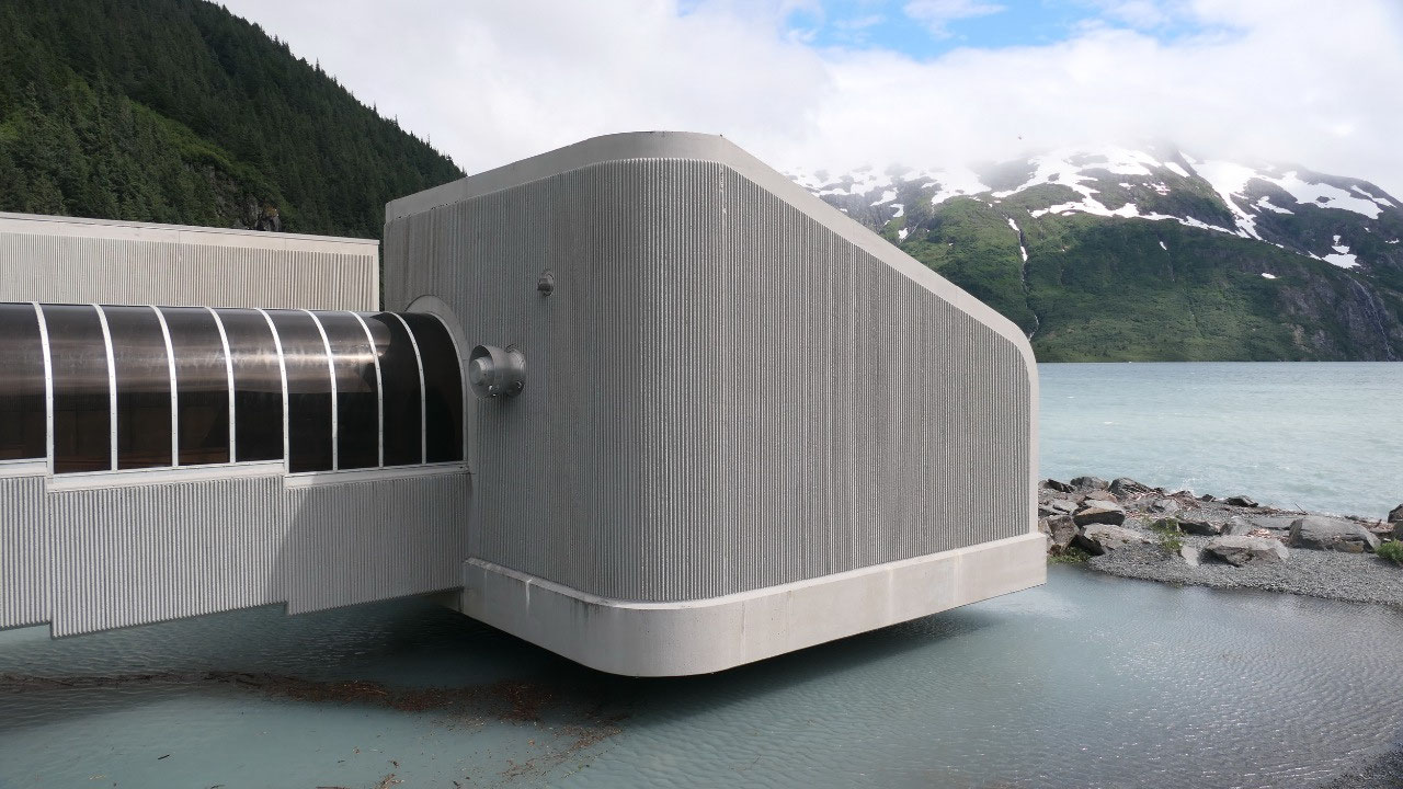
our next stop, this is part of the
Chutach Forest NP and what is funny, you have to pay entrance fee to see the
exhibition – really!!! We enjoyed the view on Portage Lake – walked through the
super cool glass round tunnel out on the covered viewing platform (super cool –
we should have that at home)
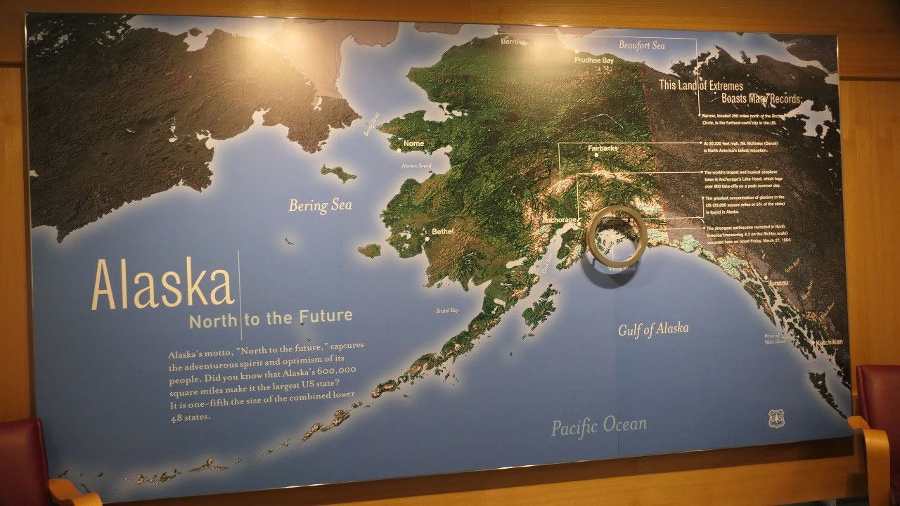
- The Chugach NP is named after the Chugach Eskimo people – this is the 2nd largest forest in Alaska, 1/3 is year-around covered by glaciers
- Did you know that Alaskas motto is “north to the future” and it is the largest State of the US (it is 1/5 of the lower 48 states in size)
- Alaska is also the land of extremes: Barrow is 350 miles north of the Artic circle and the furthest north city in the US, it also has the highest mountain of North America, it has the greatest concentration of glaciers in the US: 5 % of the state is glaciers (no wonder it’s so cold) – and it had the strongest earthquake in North America recorded with 9.2 on the Ritcher scale
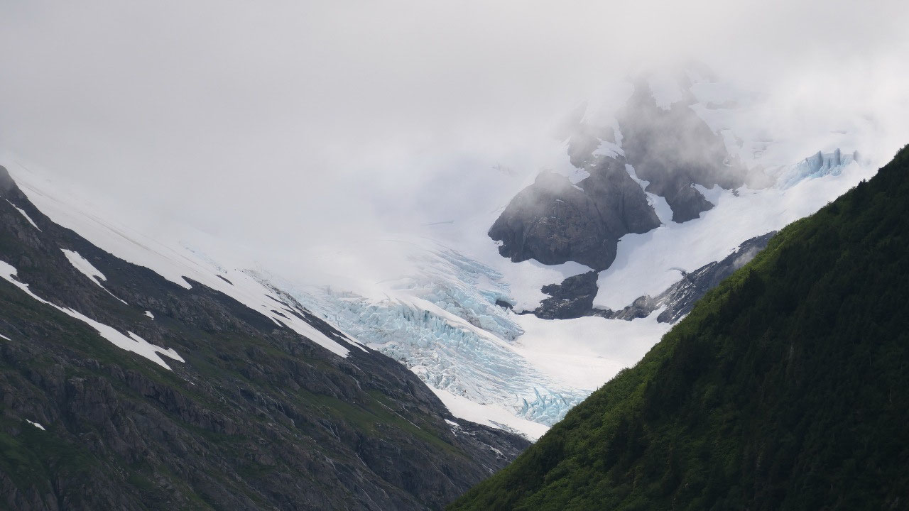
- In 1911 the Portage glacier reached to where today the Visitor info is – which is built on a moraine. The Portage glacier started to retreat in 1914 and the Portage lake began to form – today you are unable to see the glacier from here.
- In case you wonder where the name Portage
glacier comes from: before the glaciers started to retreat early traders, mines
and indigenous people traveled across these glaciers and used them as a portage
between prince William sound and the cook inlet
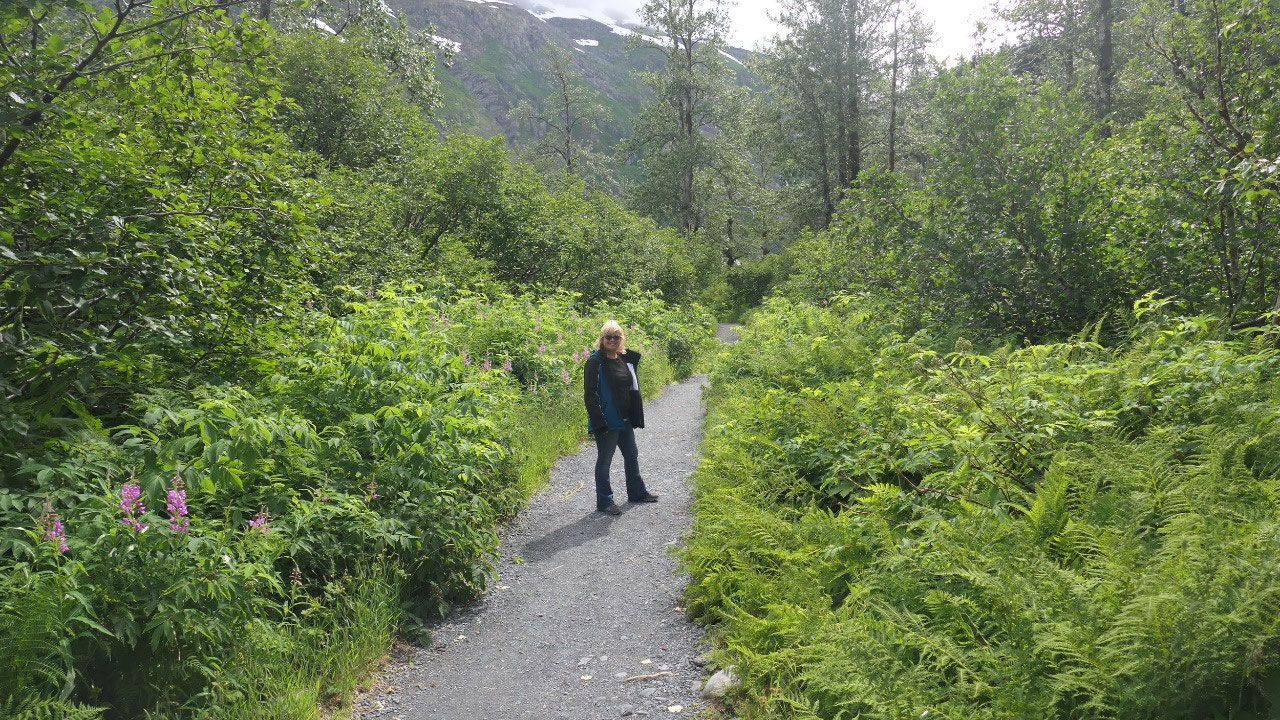
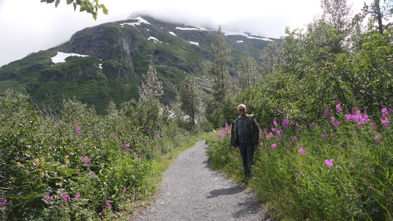
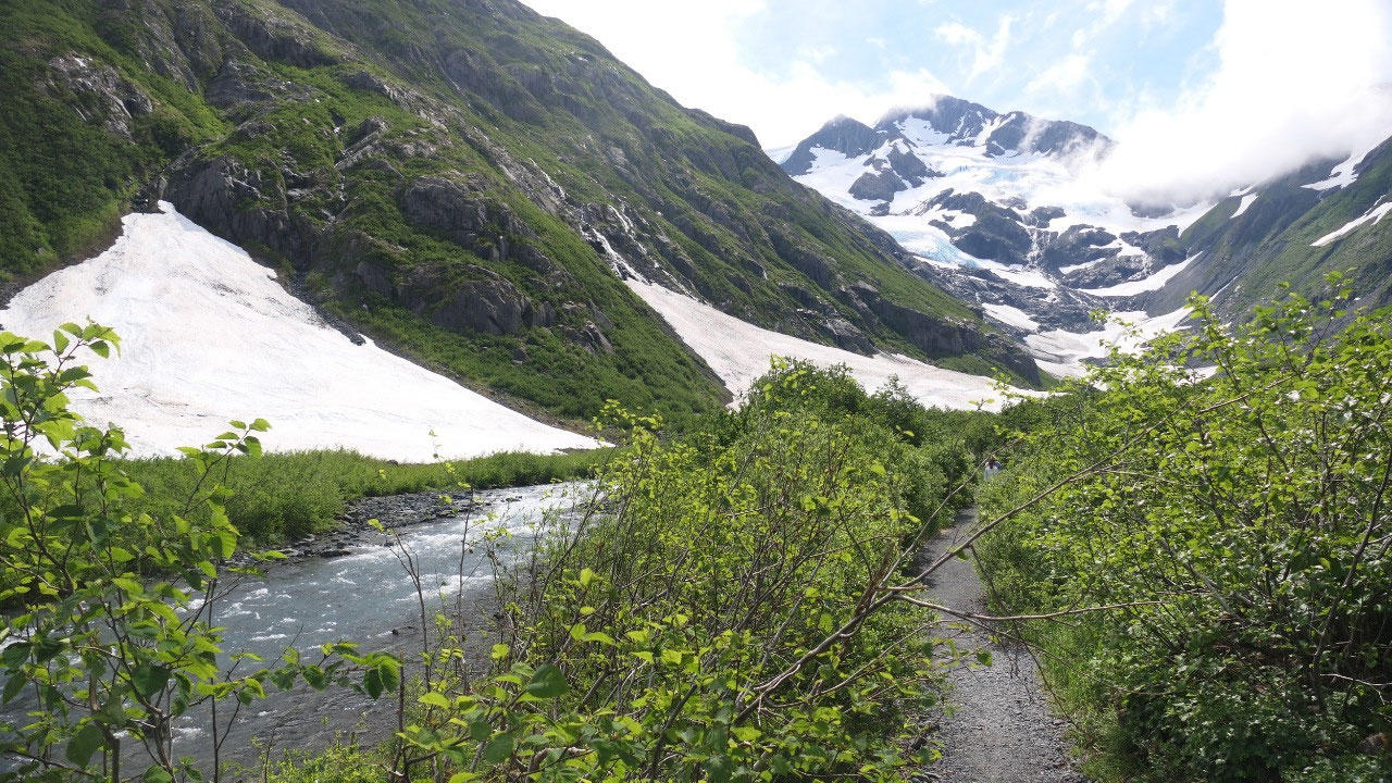
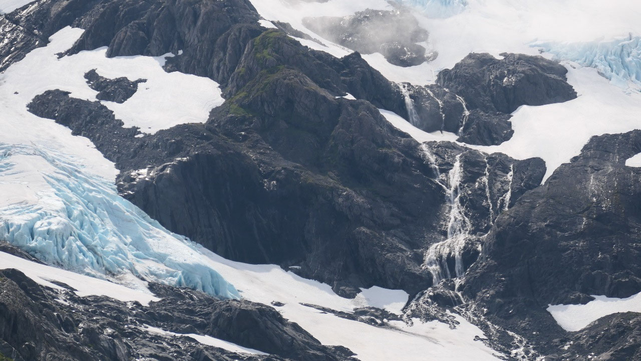
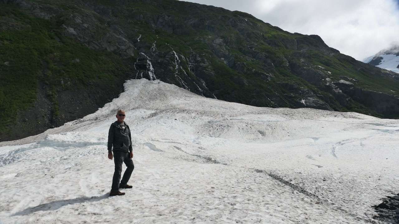
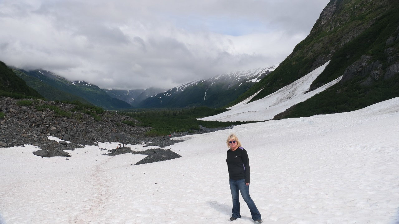
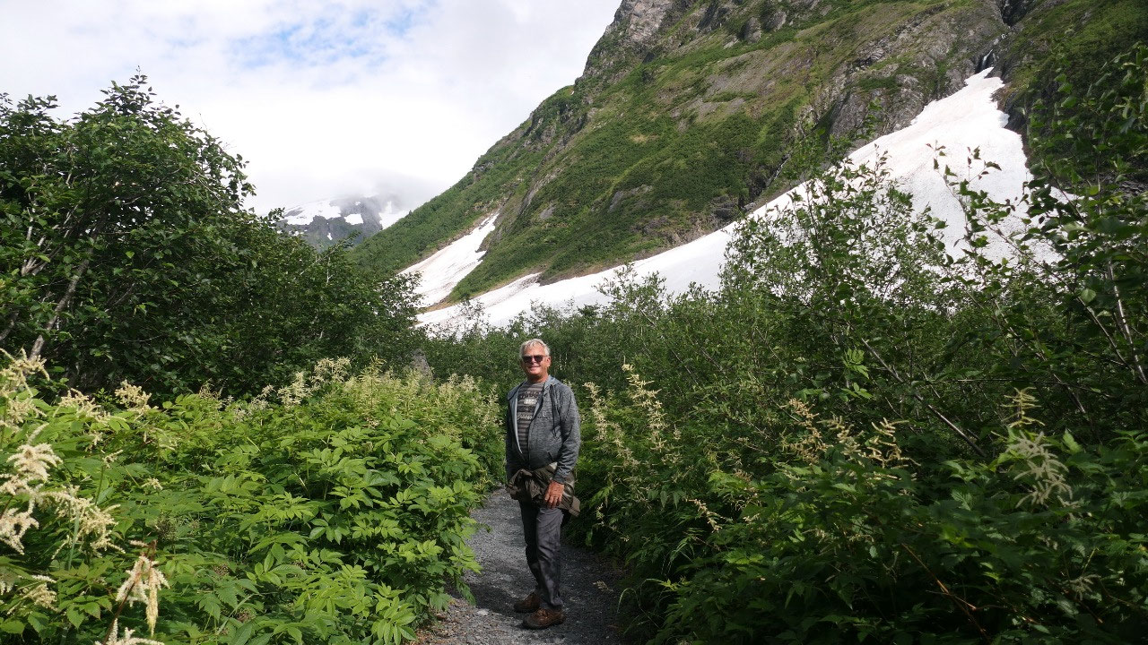
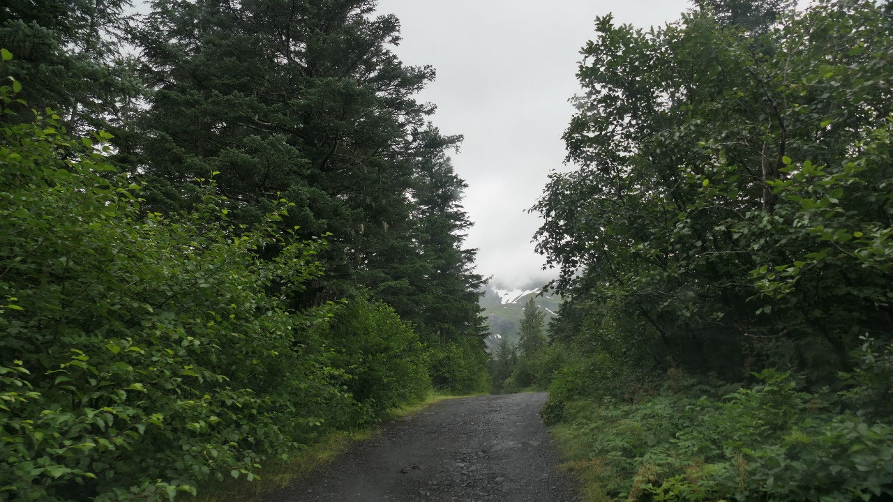
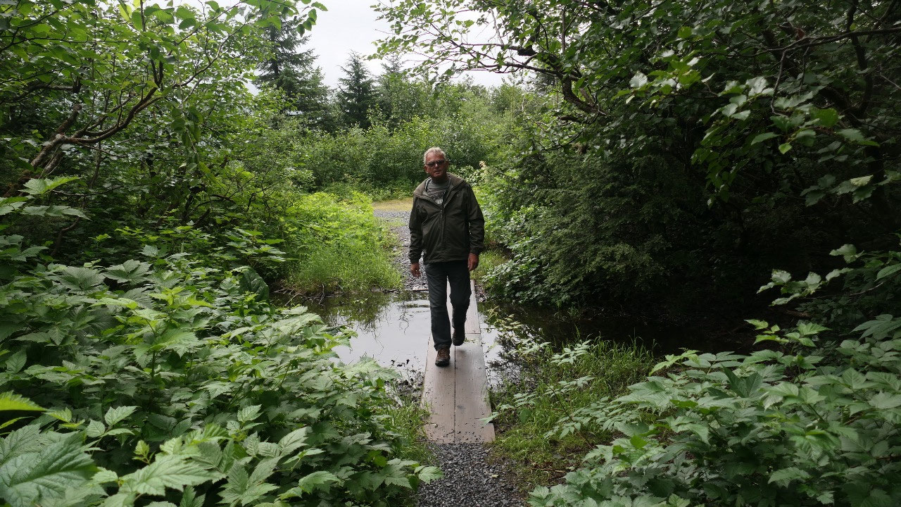
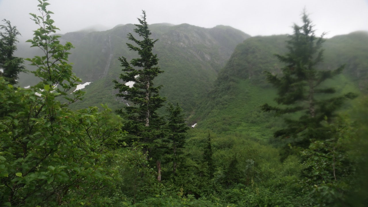
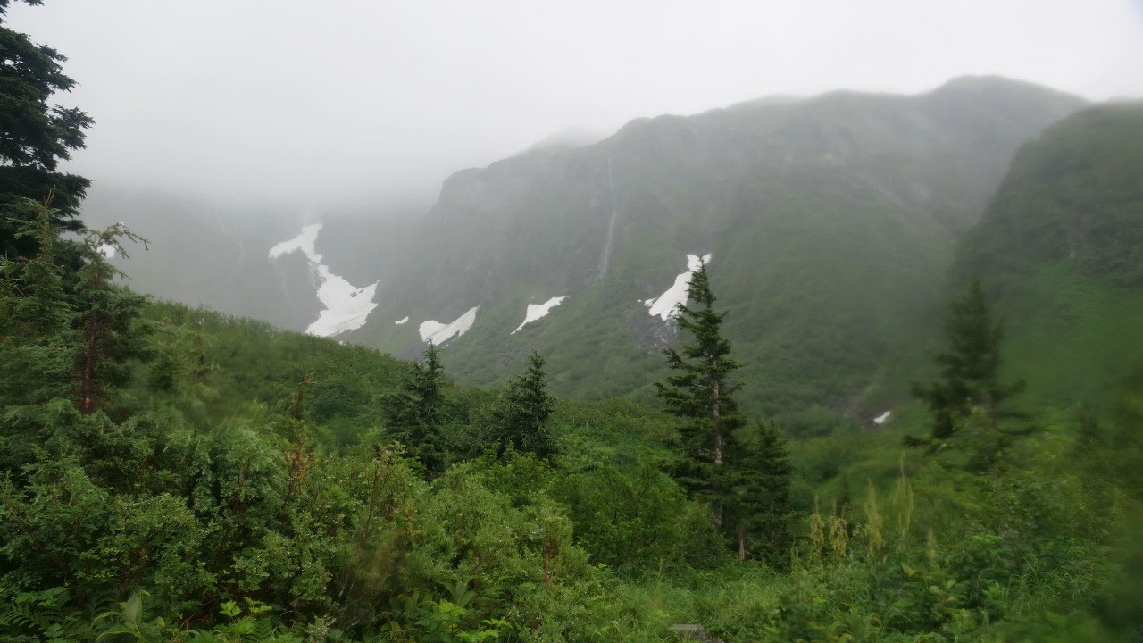
Byron Glacier Trail
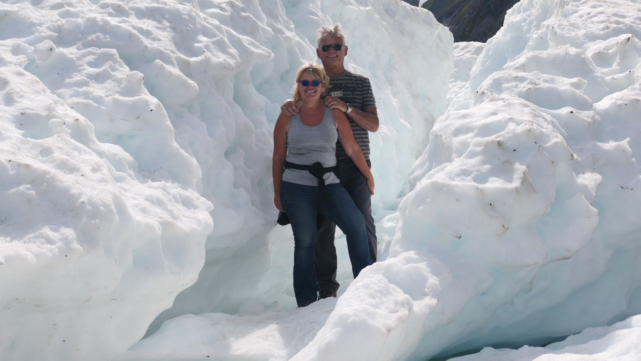
We parked and Gine thought it is only
a half hour walk – but we later discovered the 1.4 miles is one-way… haha we
should have brought a backpack, so we can take off our heavy jackets. As we started
out between he bushes and high flowers the sun came out and we had way to warm
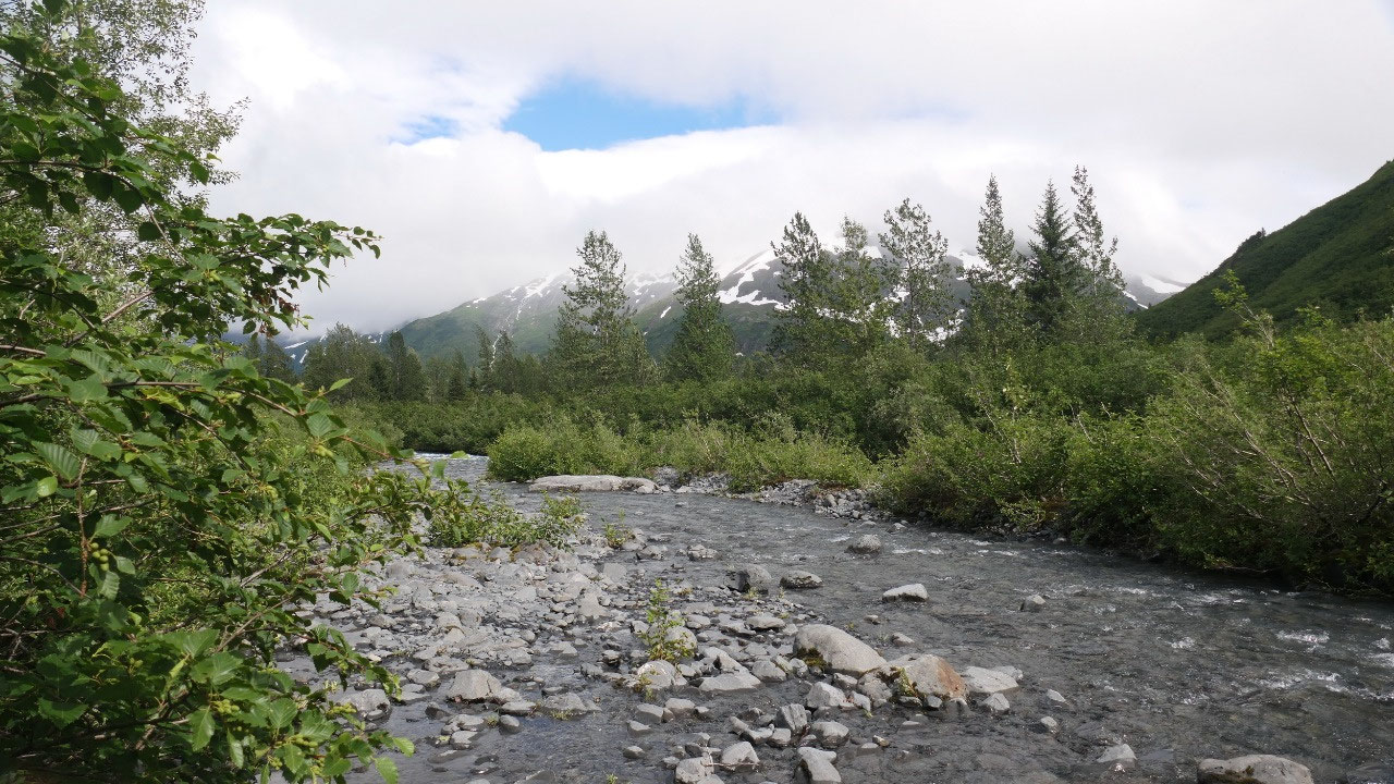
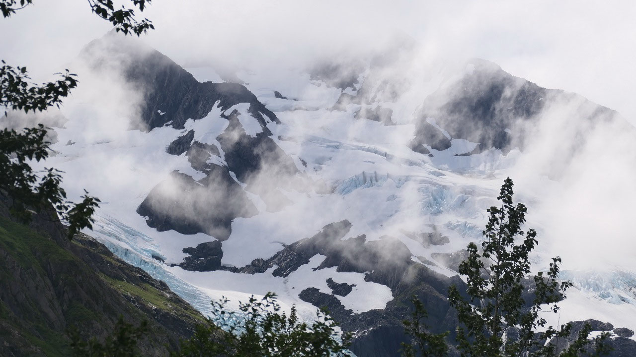
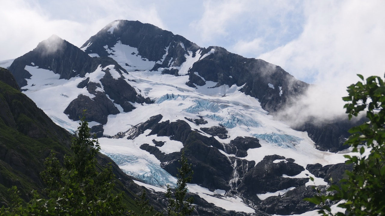
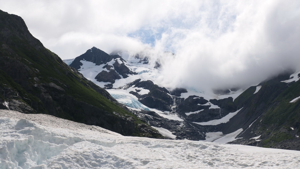
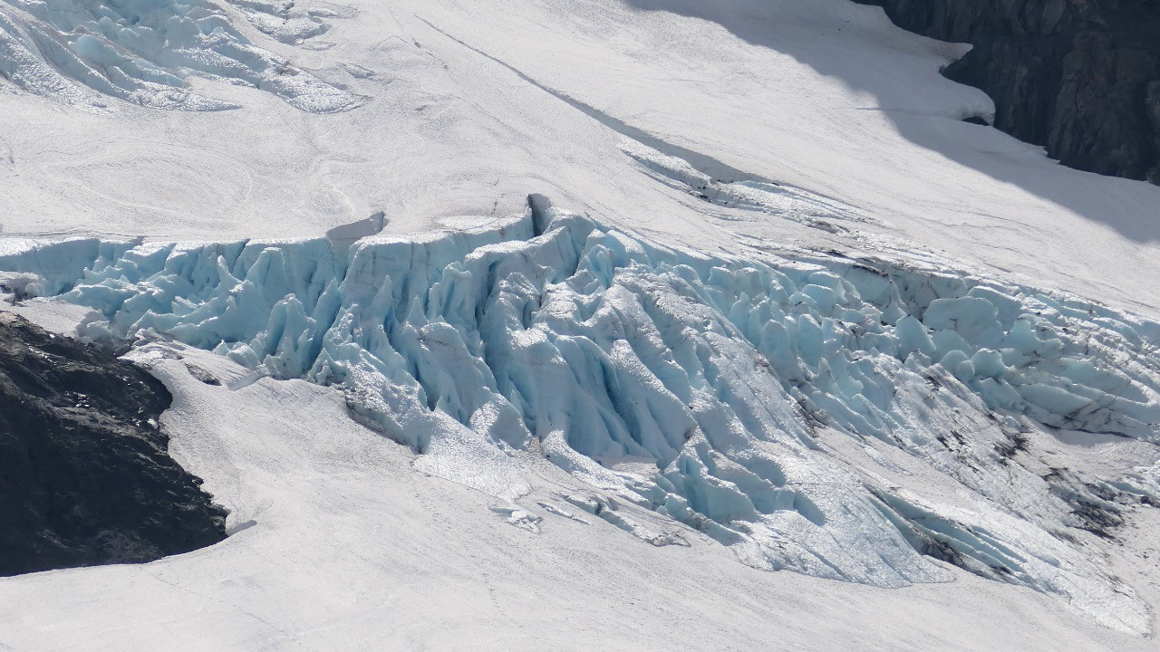
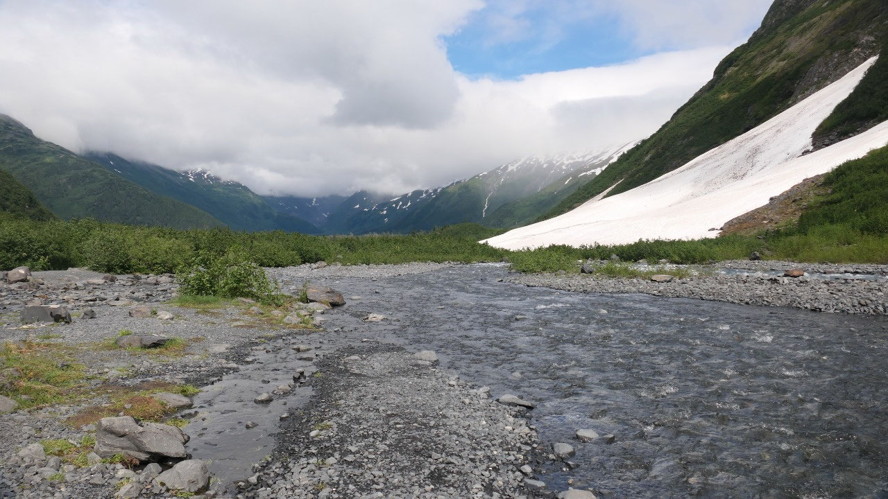
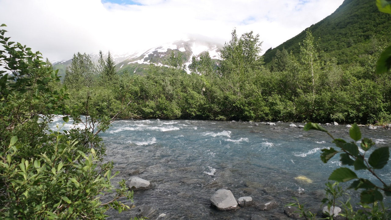
cloth on. As we walked along we always had a view onto the glaciers in the back
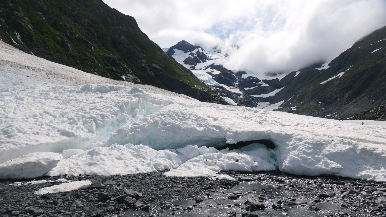
and also once in a while a look at the glacier creek. And then comes the
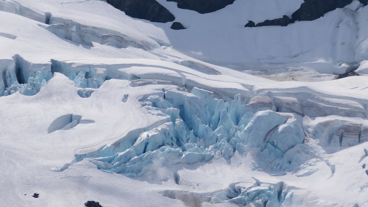
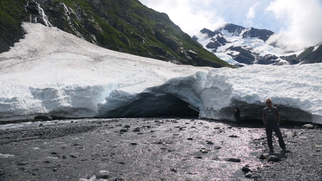
viewpoint: Super cool, as we are really at a snow field or Glacier with
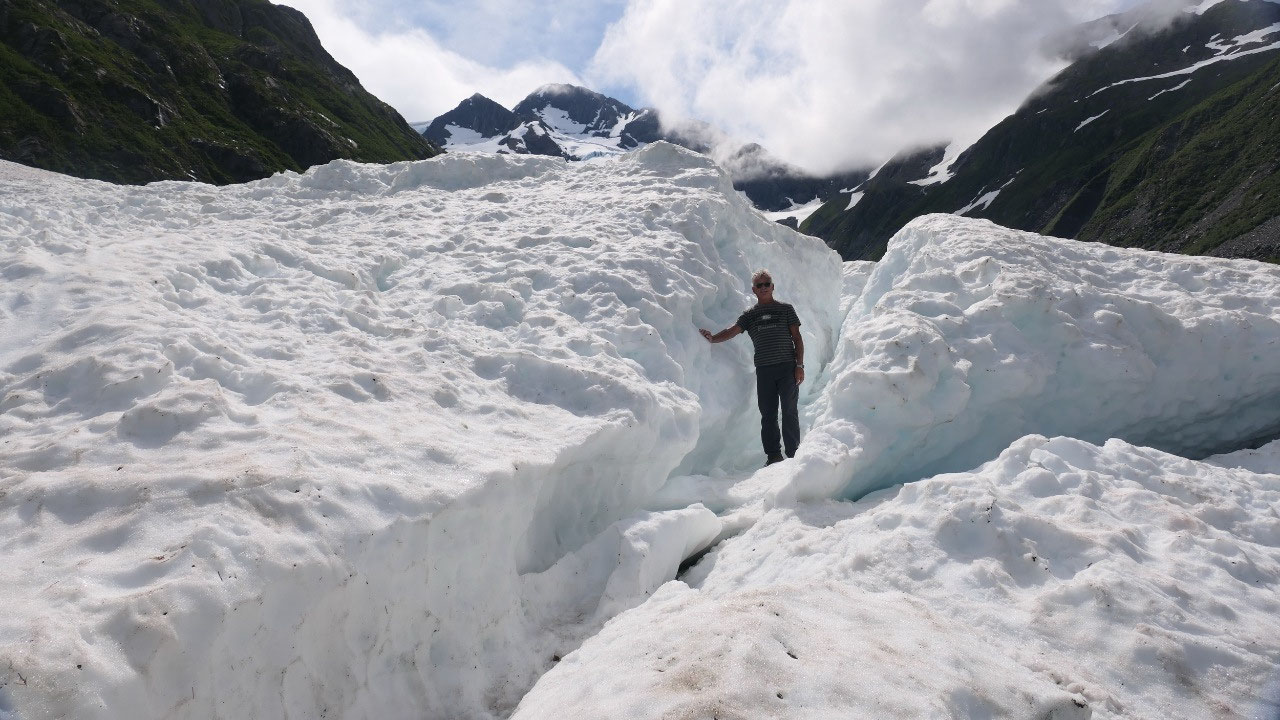
crevasses, caves and the water dripping into the little creek.
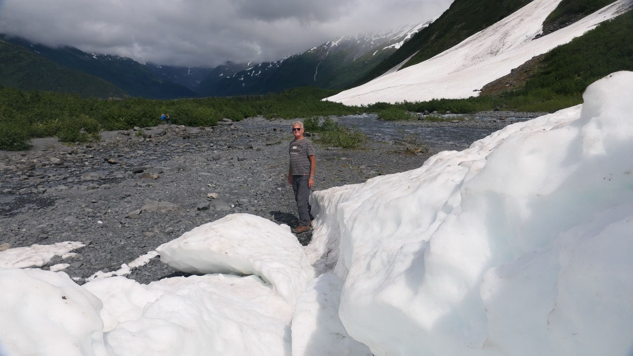
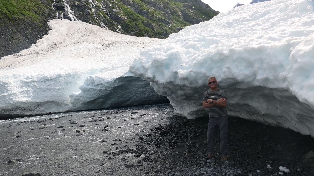
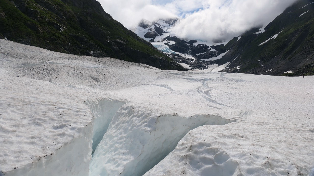
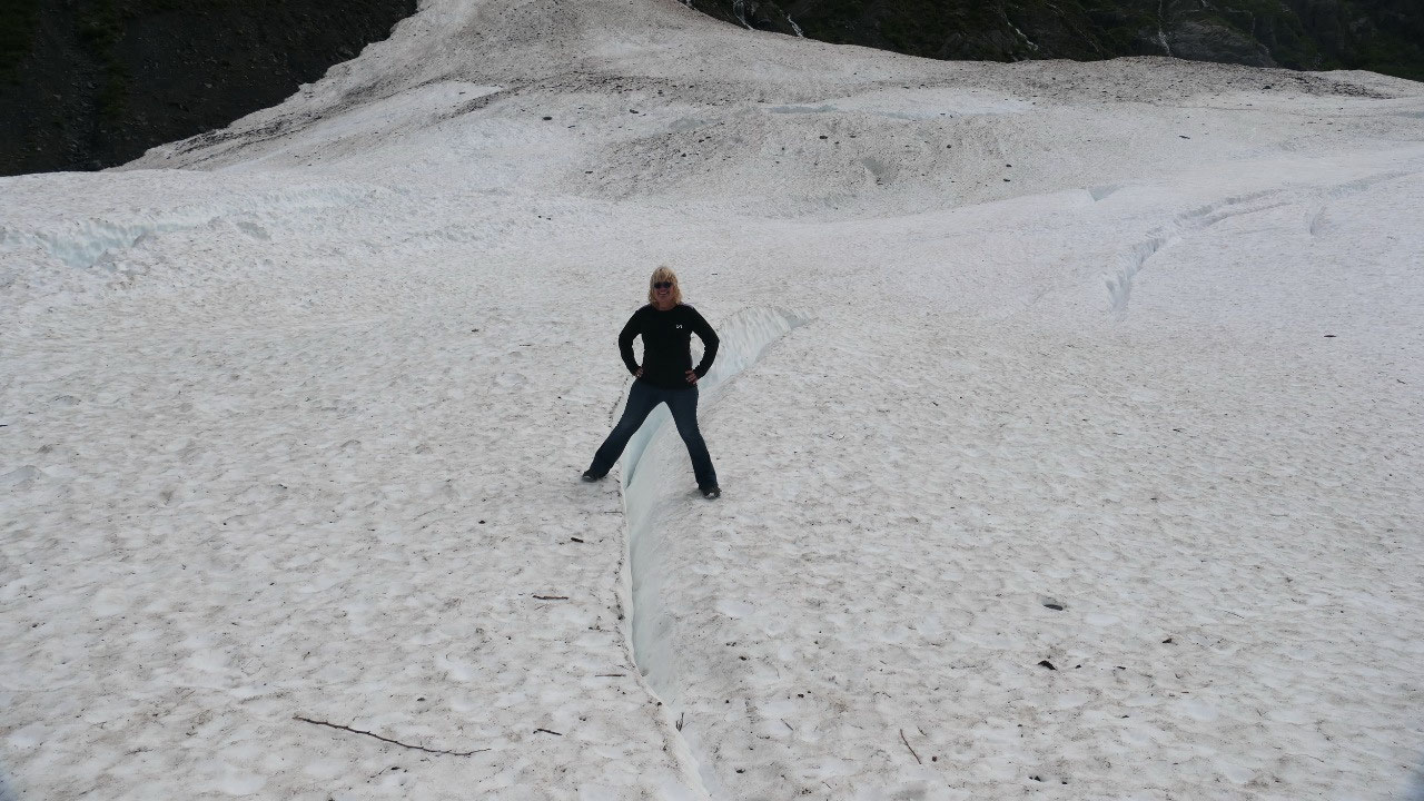
We have to explore this: first across the
little creek and into a Crevasse – as we went under the little overhand, yes we
got wet as the glacier is melting!!! If we would have on the Real Alaskan
Fishing boots as a lot of people do here, we could have walked over and into
the cave.
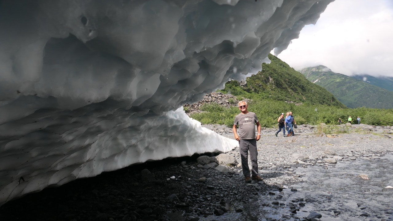
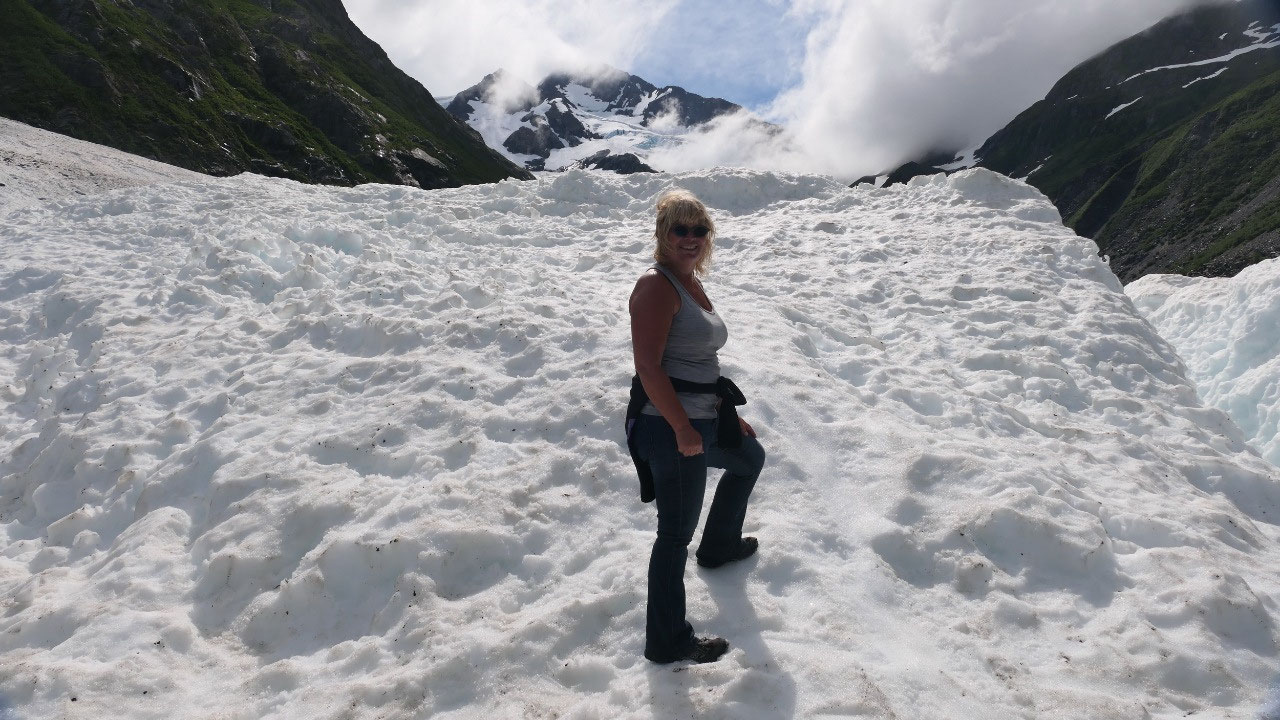
We decided to rather walk onto the
glacier and a bit up to see some more – up and over to the next “hill” in the
glacier so we could see a bit beyond: it is super nice and sunny, but you can
feel the cold air coming of the glacier.
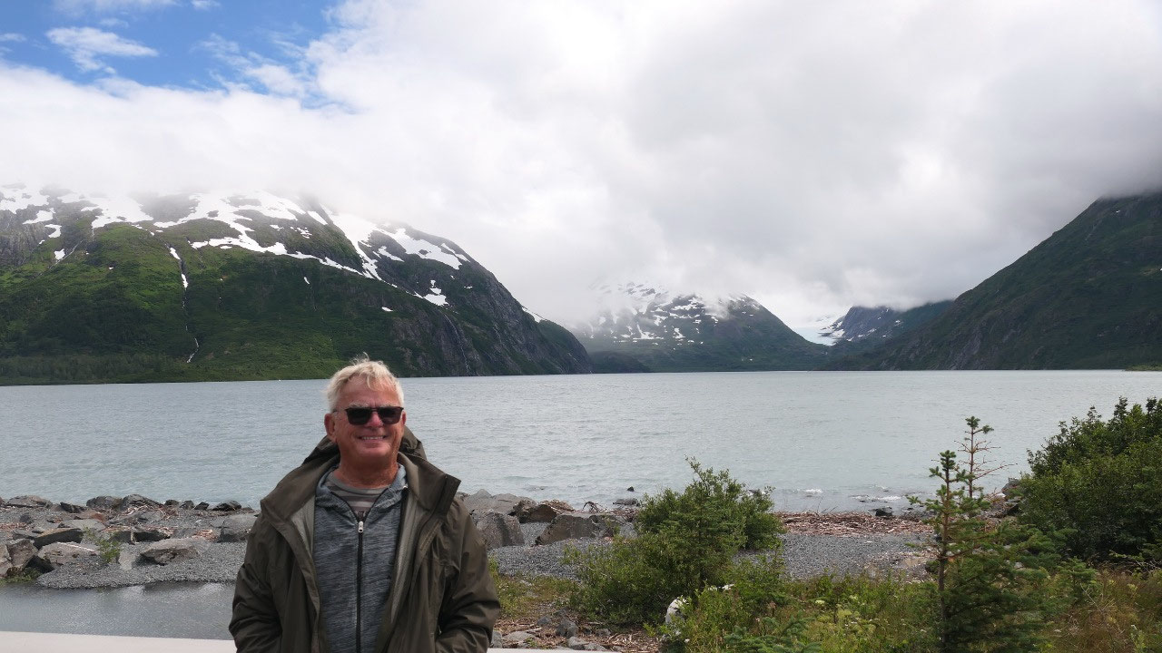
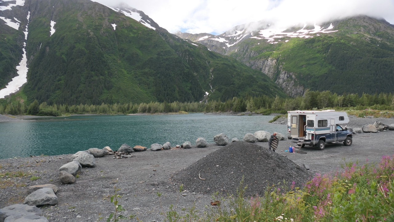
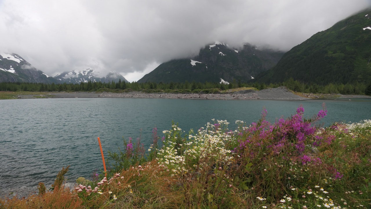
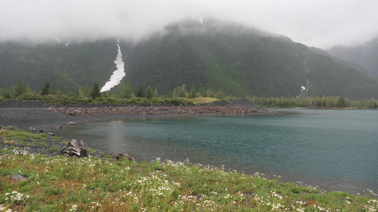
Sunshine at the Glacier Lake
Once back the sun was out and it was
super warm – so we decided to go back to the little glacier lake we were
earlier and enjoy the sunshine – it was super nice a bit windy: we still needed
the sweaters – but we have some sun!!! both times when we were here we met some
German couples – guess Alaska is on a lot of German’s travel bucket lists.
We lose our cat again
As we talk and enjoy the view –
something must have spooked Mandy and she is gone – again!!! We walk along the
side and call her. Make a short break and out again – it is super windy now, so
we walk everywhere where we can think she could be and call and call - Nothing.
Supper and out again. Ok let’s go inside for a bit, as there are a lot of
people at the moment, she likely will hide (if we only knew where) – ok so
before bedtime: when we go out again (like the 3rd time) and in the
meantime everyone inside, she comes as soon as Paul calls her. No remorse on
her part – first thing she sits at the door ready to go outside – really!!!!
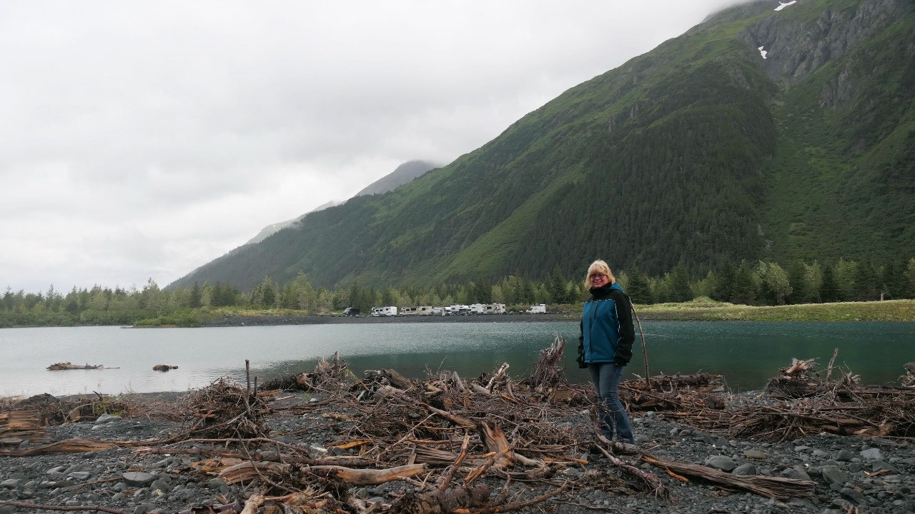
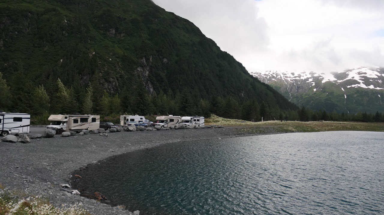
The green lake
As it goes more towards the evening
every time when looking outside it looks like the lake is getting greener -but
then that is what the peninsula is famous for: the green rivers and the green
lakes (I guess and the rain???). It was super amazing to see – and I think it
looked super cool to see the RV’s all lined up.
A cool morning walk
Good morning – yes to clouds again!!
We were hoping again for some sunshine – no such luck, but at least it is not
raining correct and so Gine put on some warm cloth and went for a morning walk
partly around the lake – until there was no real good walking anymore…. It was
super nice.
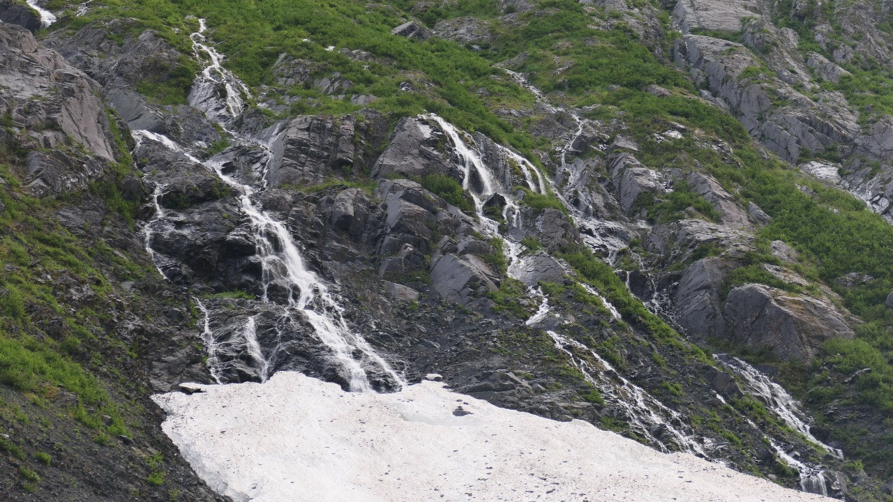
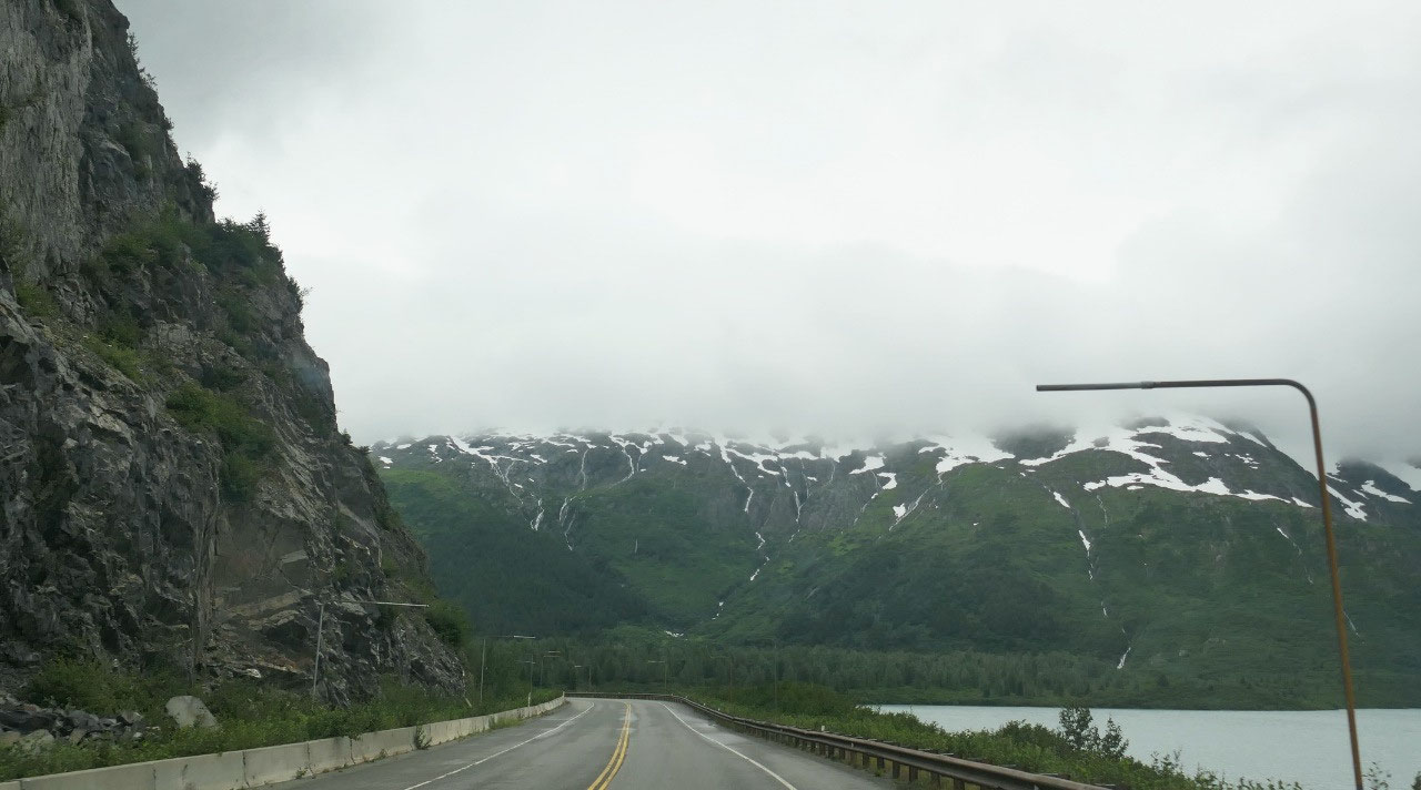
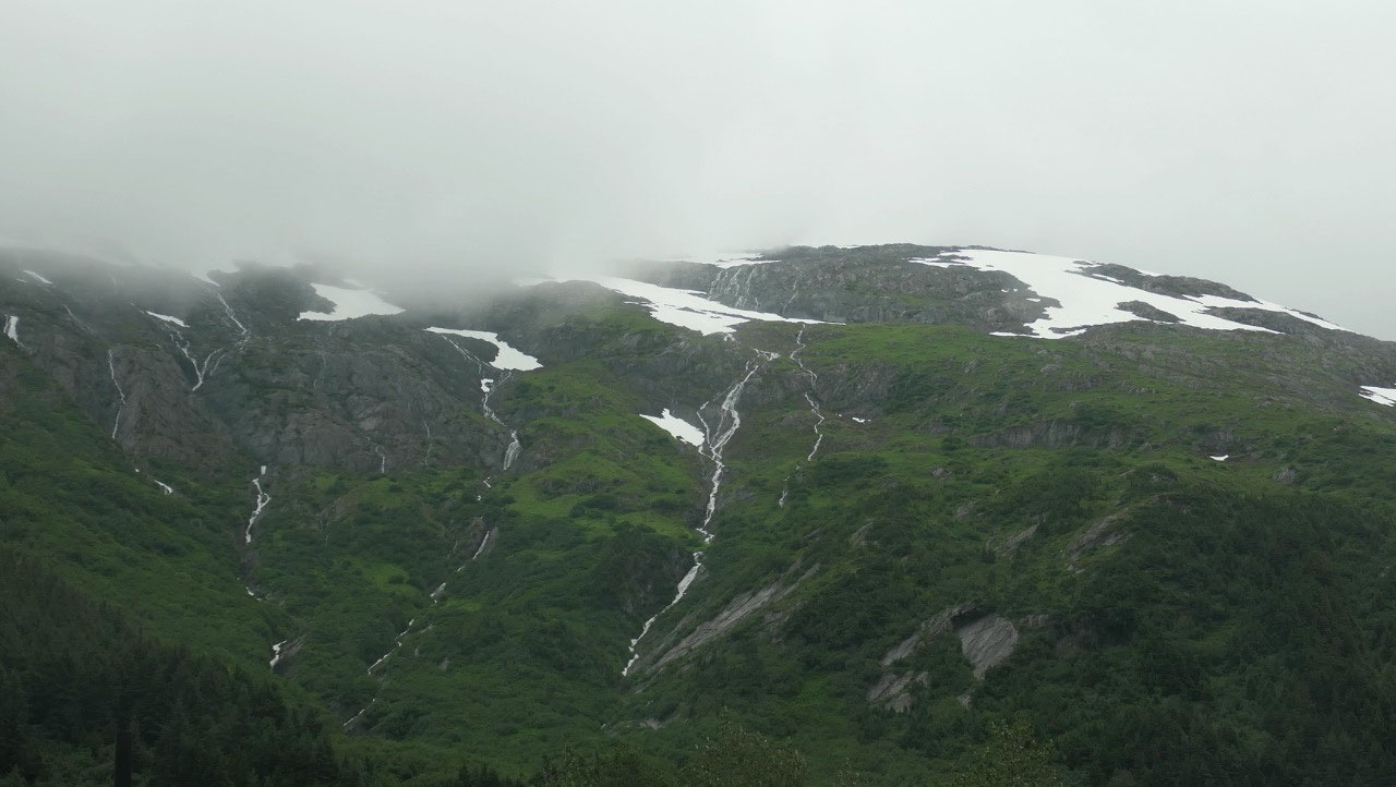
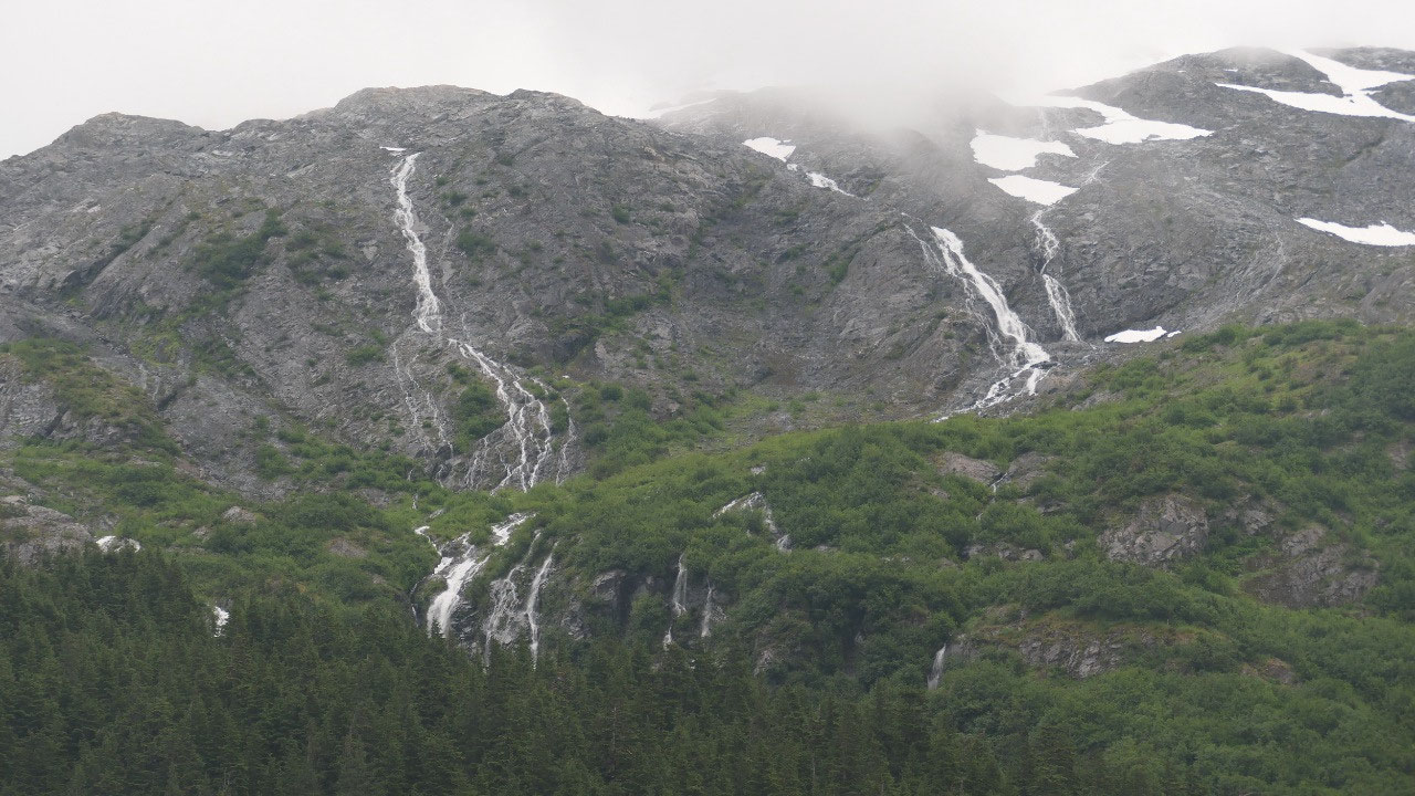
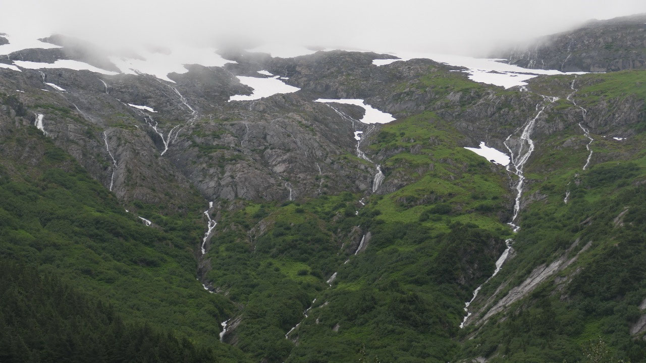
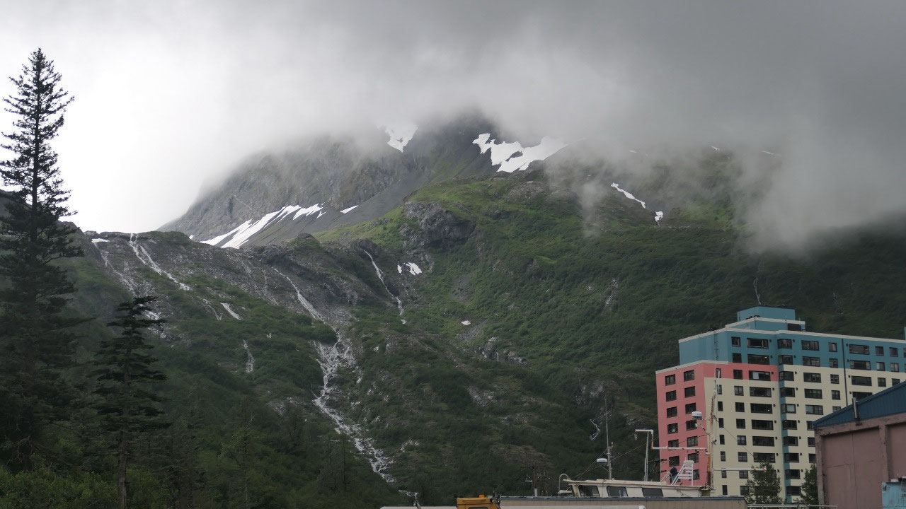
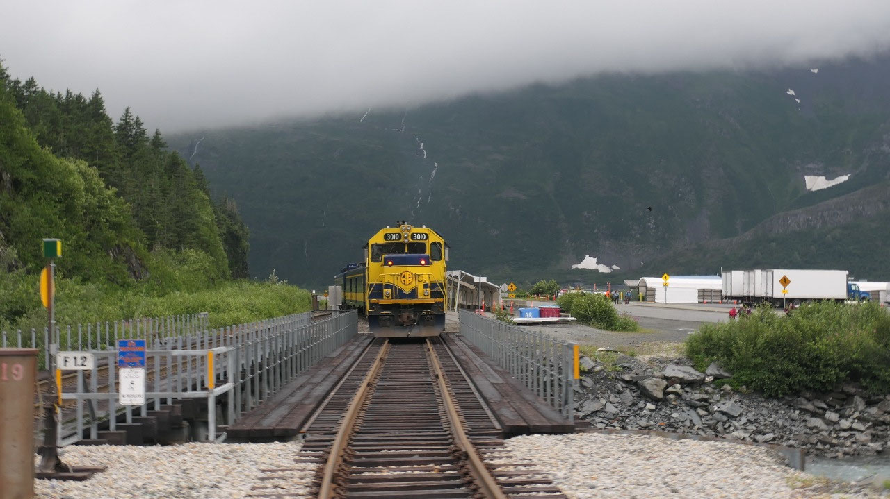
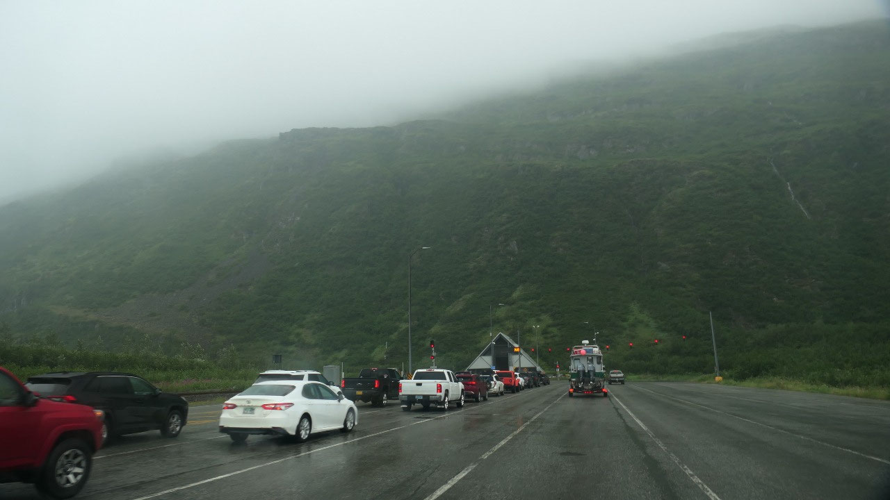
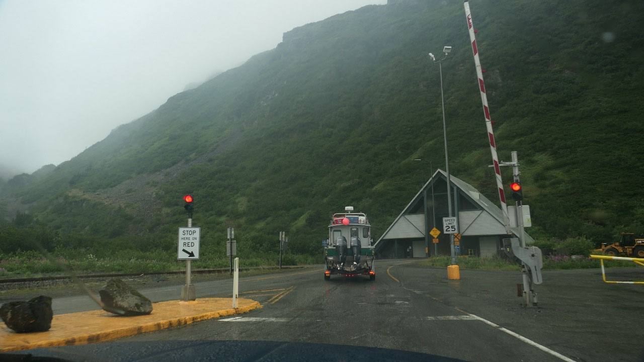
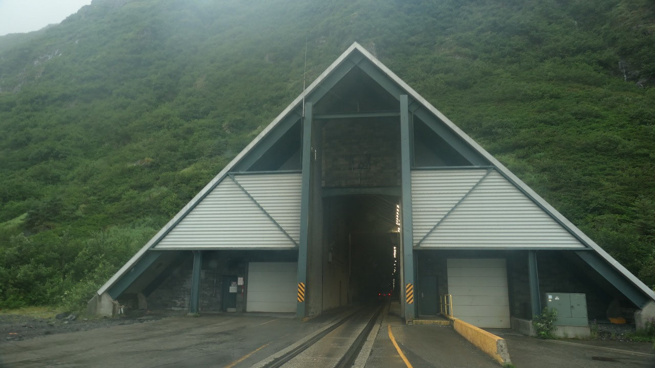
Driving through the tunnel
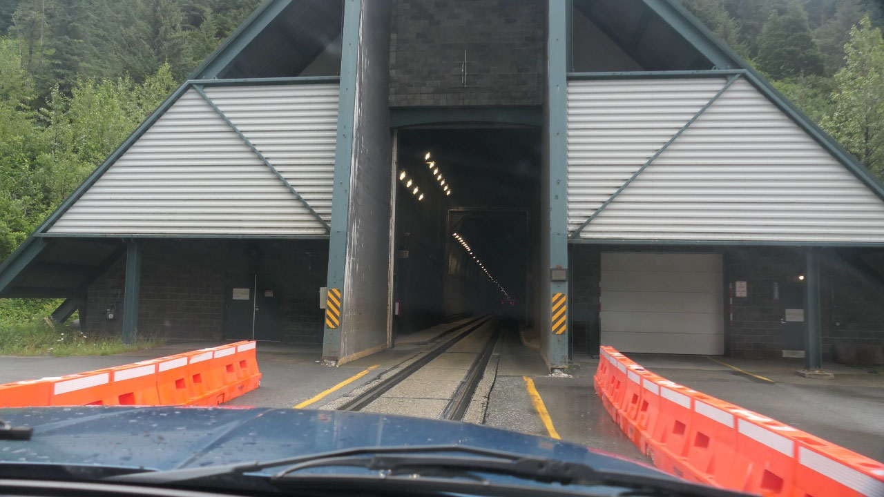
Time to head out: the tunnel to
Whittier only opens once an hour in each direction for 15 Minutes – we made
sure we were there on time like a few minutes to spare. And as we were waiting
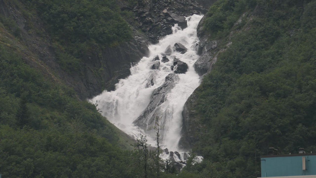
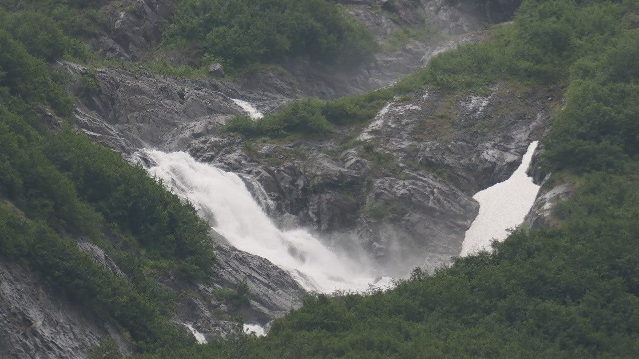
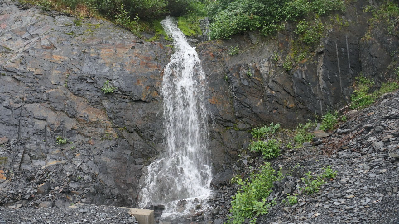
what was super cool was when you look up towards the mountains you can see a
lot of waterfalls and we are talking about some huge waterfalls – it would be
so cool to be able to go close to them.
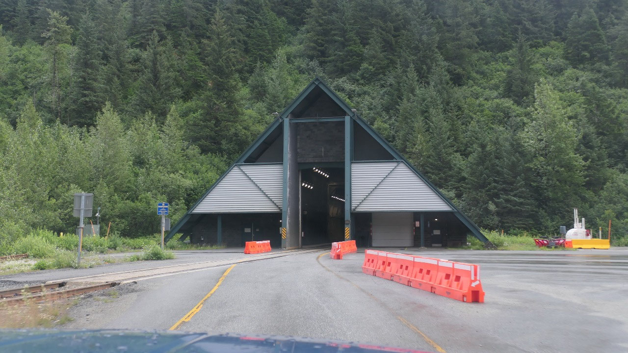
A display said that the tunnel will be
open again at 10 pm, then it started Lane 4 is open – follow guidelines. Once
it was our turn we got it: you drive come to a red light and then have to wait
until the car is in the tunnel then it’s your turn: they make sure everyone
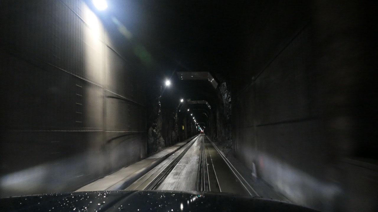
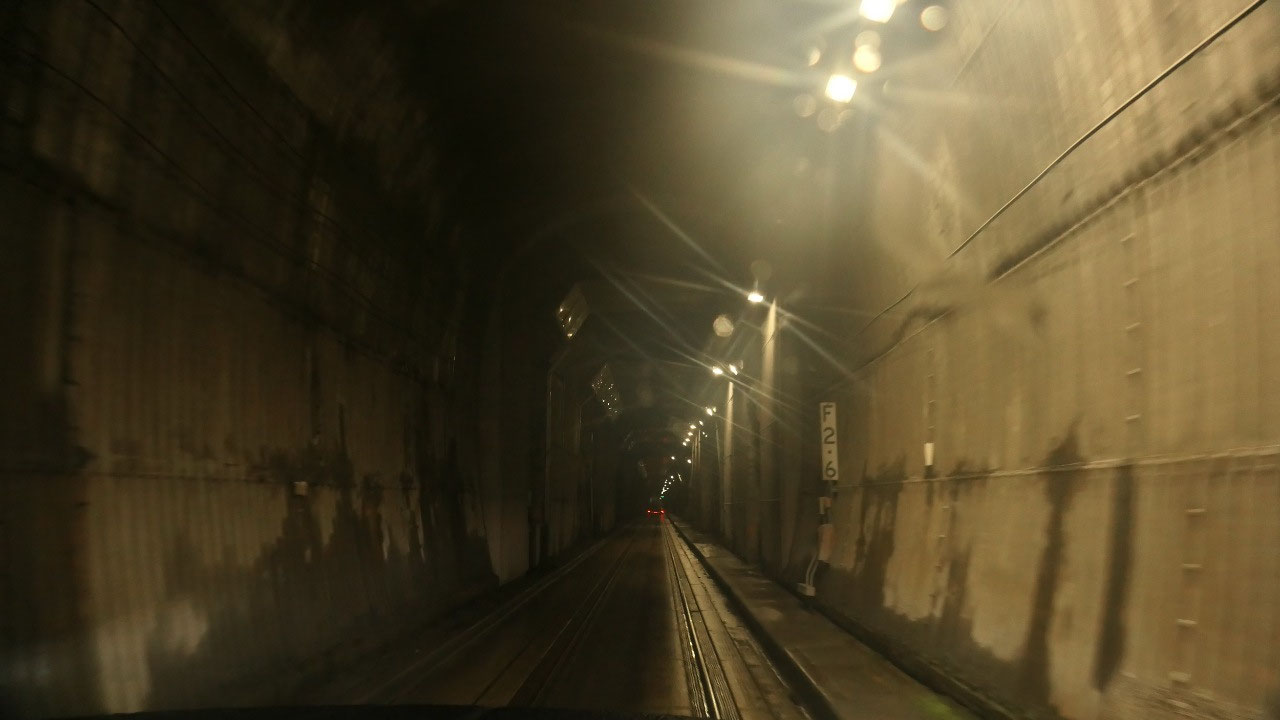
keeps there distance. The tunnel is not very wide – it’s clearly a train tunnel
and it is super weird driving on the train tracks – you wonder you don’t slide
off.
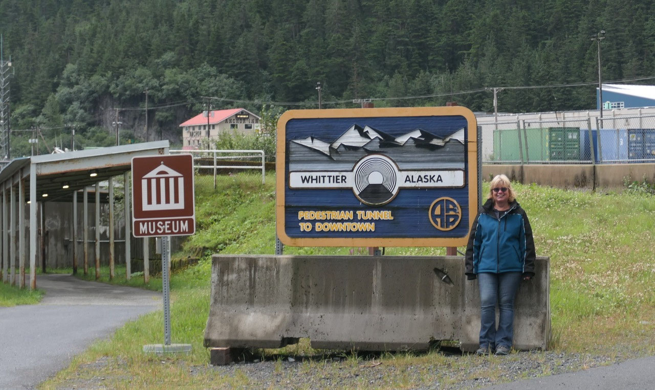
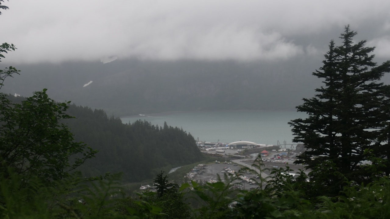
And then we emerge into whittier.
We arrive at the end of the Tunnel in
Whittier:
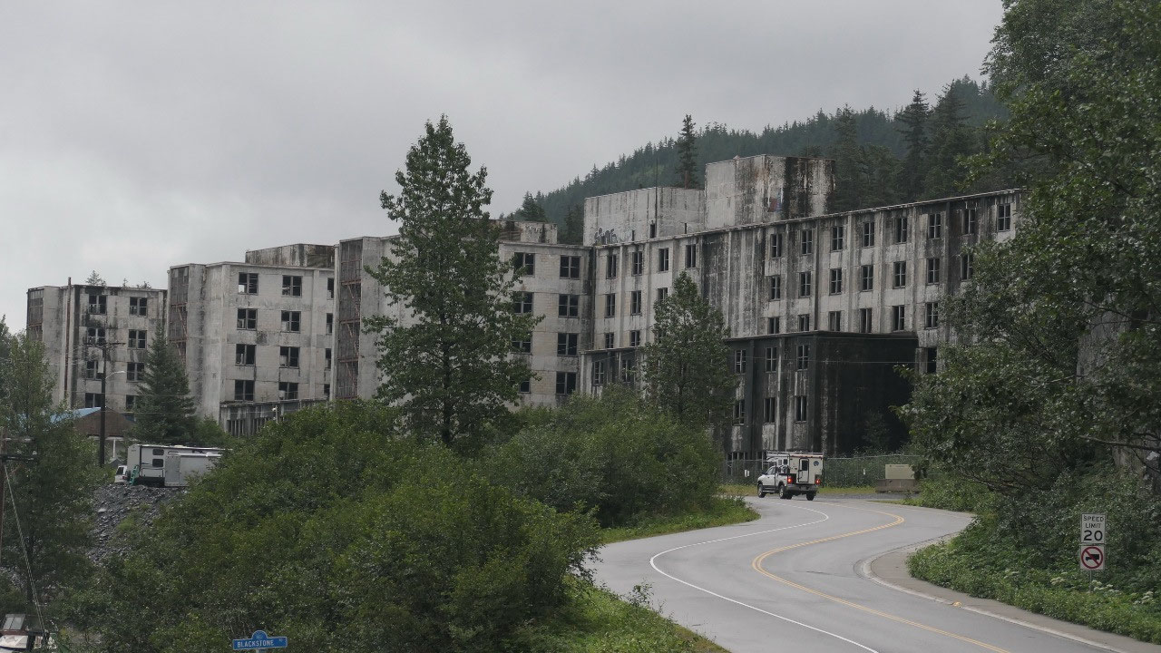
- It started as a military installation during WWII in 1941 (yes we can still see it) when the Japanese assaulted the Aleutian Islands: as an ice free port it was perfect to bring war material to Alaska and was used until 1943
- After WWII it was abandoned until the events of the cold war reactivated the base and it got fortified in the early years of the cold war with massive construction programs – over 1000 troops were stationed here. The army maintained it until 1968, once they left they bulldozed all the wooden buildings and left the concrete structures left
- Interestlingly the 1964 earthquake left the cold war buildings unscathed
- it became a fishing village: somehow the settlement survived even it was nearly a ghost town
- The main attraction in this town is the Prince William Sound: no we did not explore it, as it was too rainy
- The Anton Anderson Memorial Tunnel is the connection and goes underneath the Naymard Mountain with 4.1 km it is the 2nd longest tunnel in North America and the longest single lane tunnel (by the way the tunnel got designed by Anton Anderson)
- The tunnel is a bi-model used tunnel: it is a single uni-directional highway or a single track railway tunnel: if a train comes through the tunnel then the tunnel is blocked for 30 Min: otherwise for 15 Min you enter in one direction and then alternating 30 min later it is open for 15 Min in the other direction
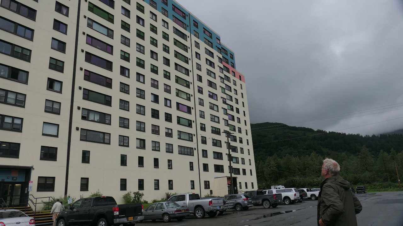
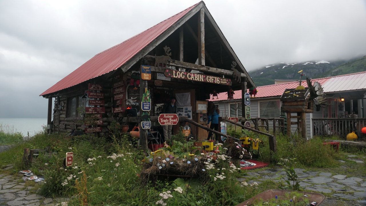
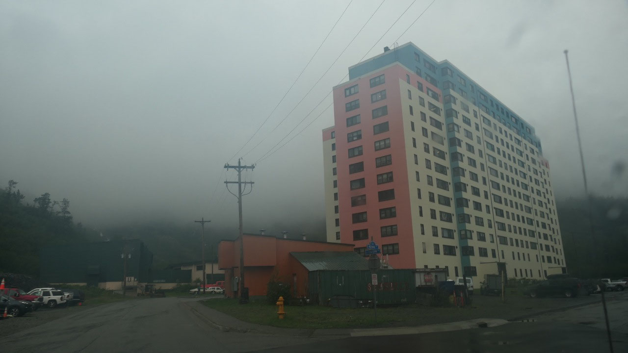
Exploring Whittier
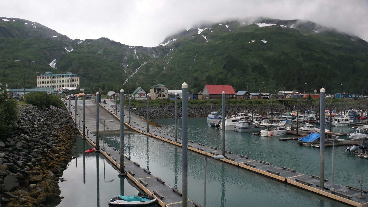
Gine read that there is not a lot of
free parking either no parking signs or paid parking. We drove towards the
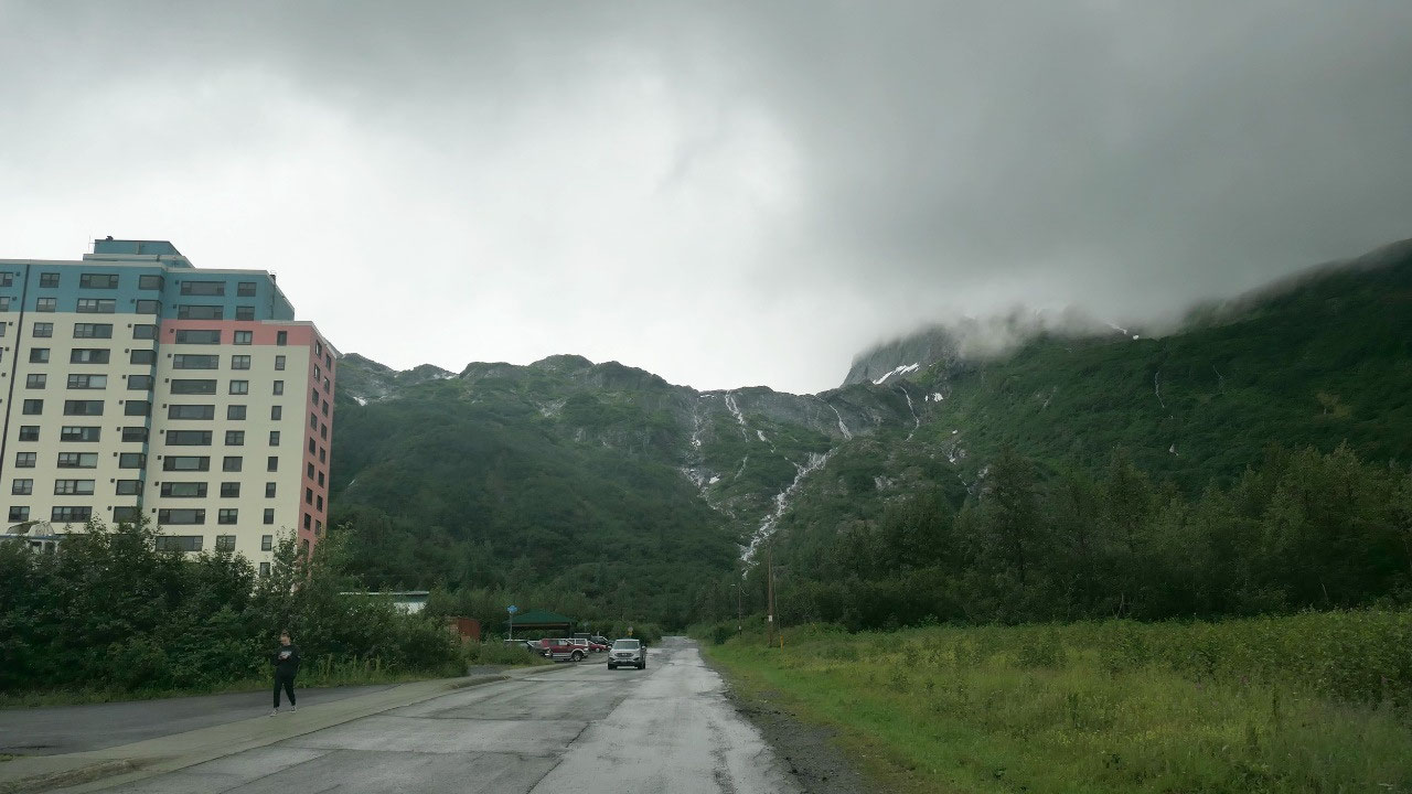
Begich building and also parked there – and then went on a walk: first admiring
the Begich Building – a nicely painted 14 story building
- From the 220 people in Whittier 150 live here: it is like the whole town lives in one builindg
- This 14 story skyscraper was build during the cold war in 1956 to house the military personal and then got abandoned in 1960
- The city bought it in 1972
- It’s like the city in the city: you have the grocery store, post office, ATM and a community center inside and for schooling you can use the underground tunnel link
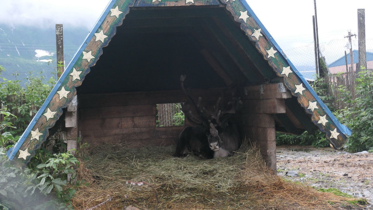
As we walk along the road a little boy
told us that we missed the reindeer Mantu: and he went back with us to show us
the reindeer and see there it is sitting under his cover. Along the street we
have a view up on the huge old Army Building looking like it is not in use
anymore.
The Hotel was once the US Army
headquarters, then comes the all-in-one building: store – hotel – laundromat –
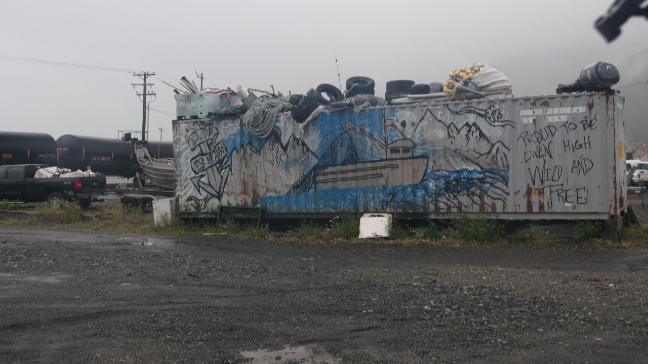
museum you name it is in there, and as we walk then along the not so
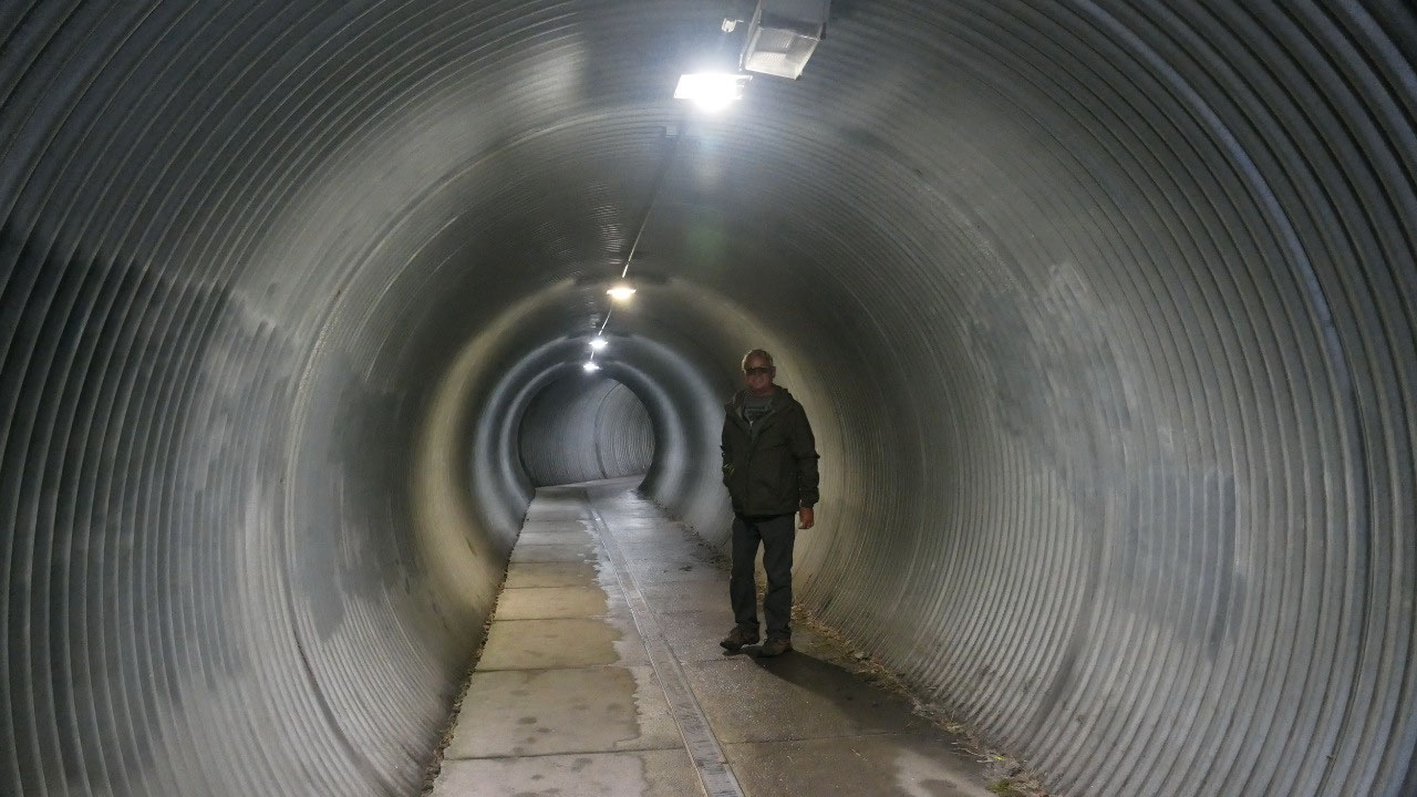
interesting factory buildings we come to the Pedestrian tunnel which leads you
through a round “pipe” underneath the traintracks to the waterfront.
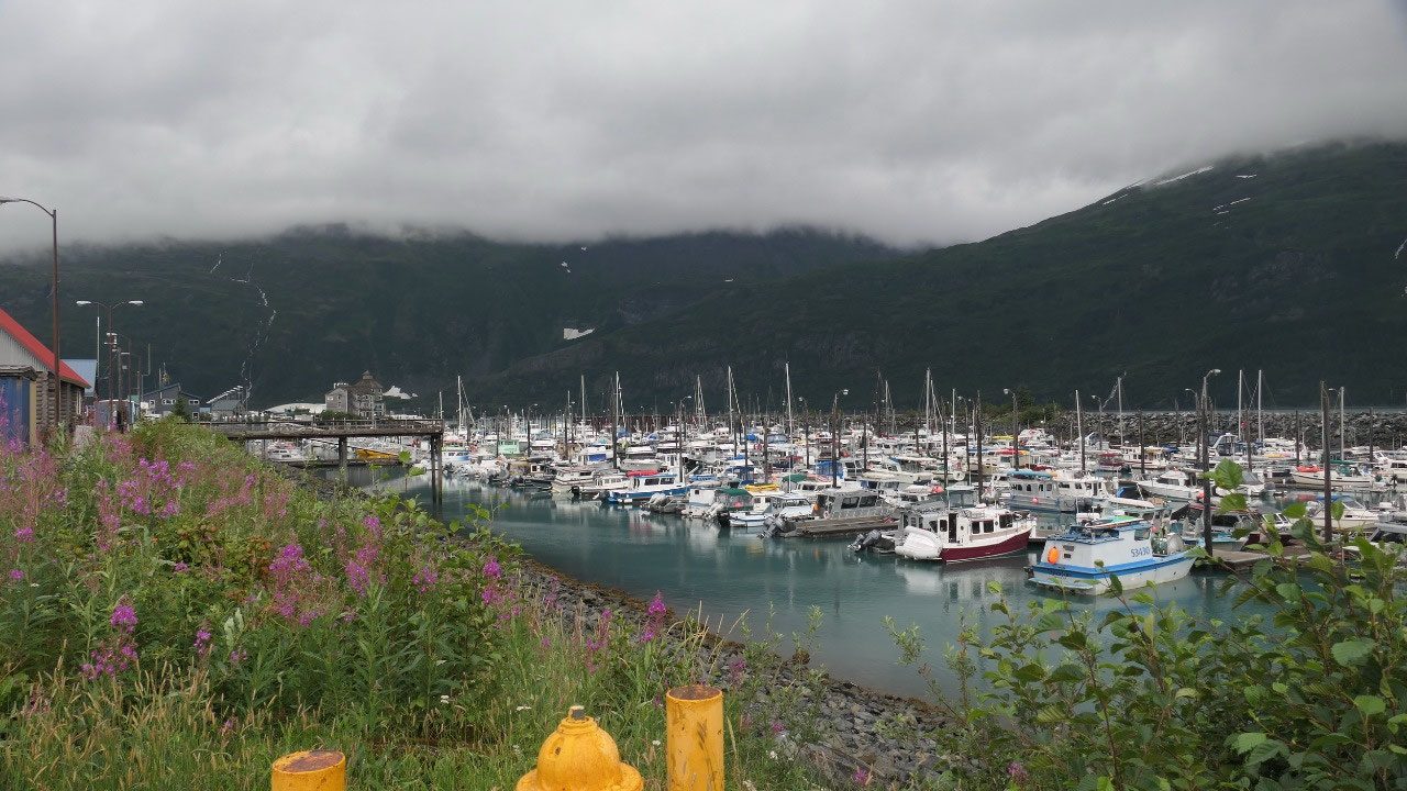
That means a short row with stores:
here they have 2 hour parking – so Gine gets the truck, we check out a few
stores and look at the harbour. We know Whittier is surrounded by glaciers –
but they are not really visible. So after a short little while we seen it all.
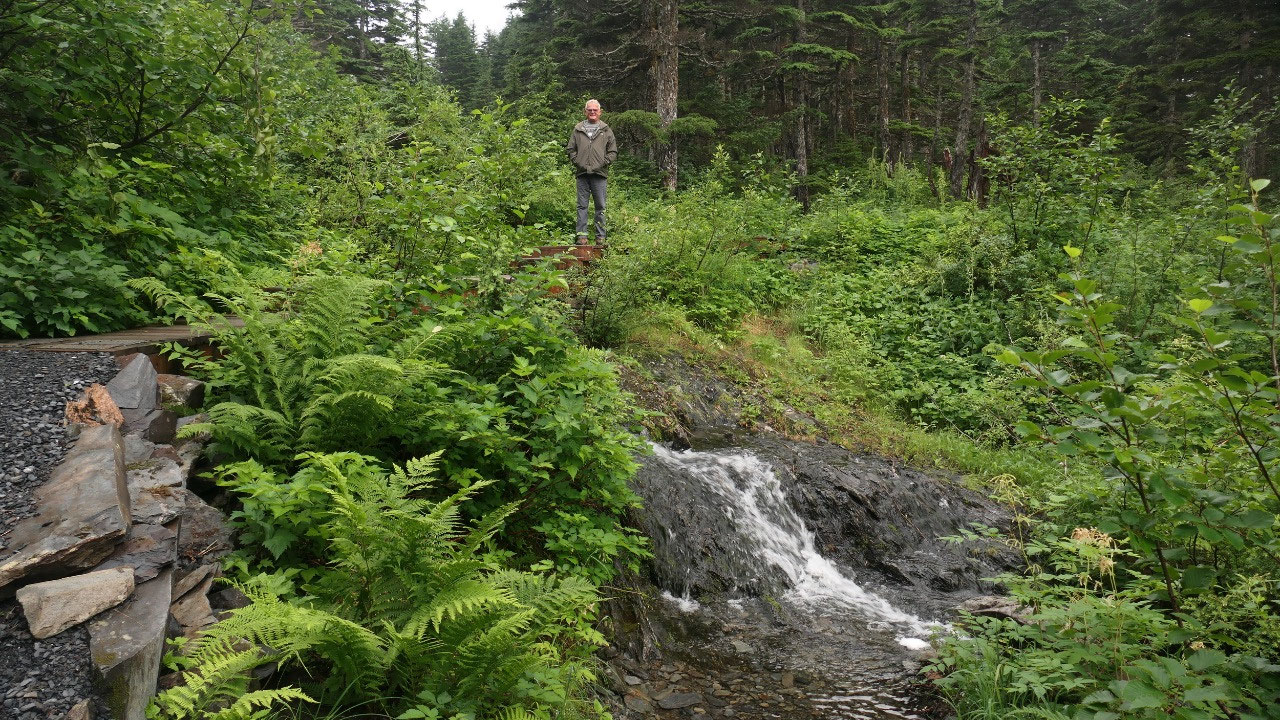
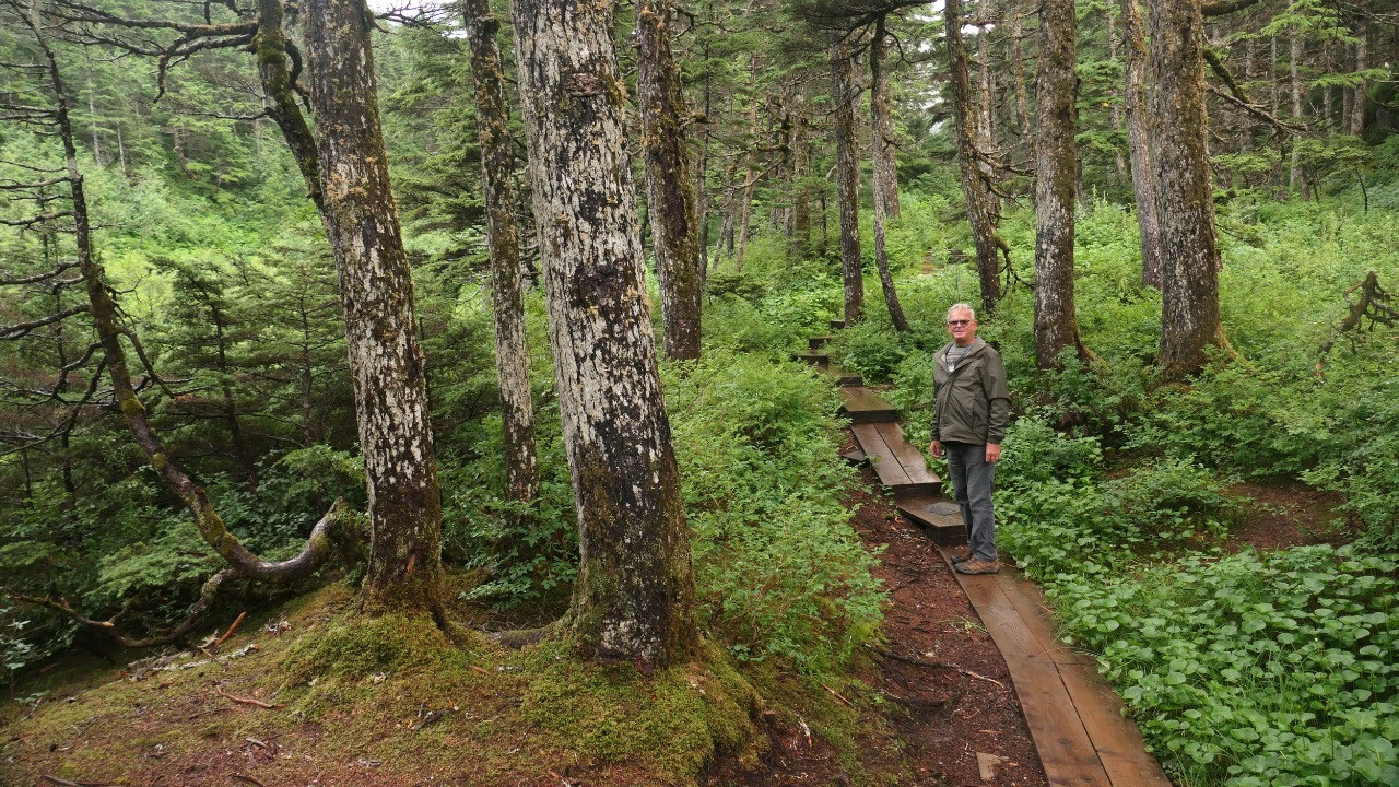
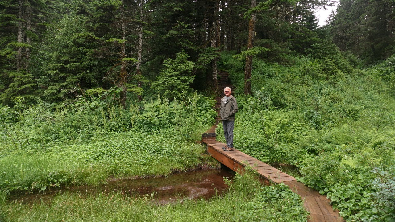
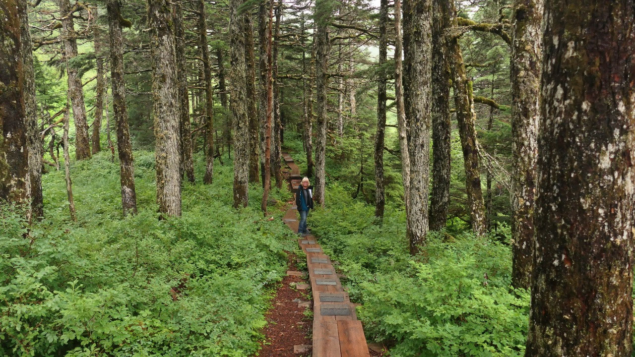
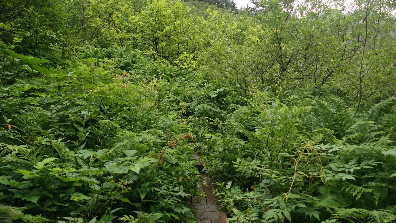
Getting wet and no-where in search of
the waterfall
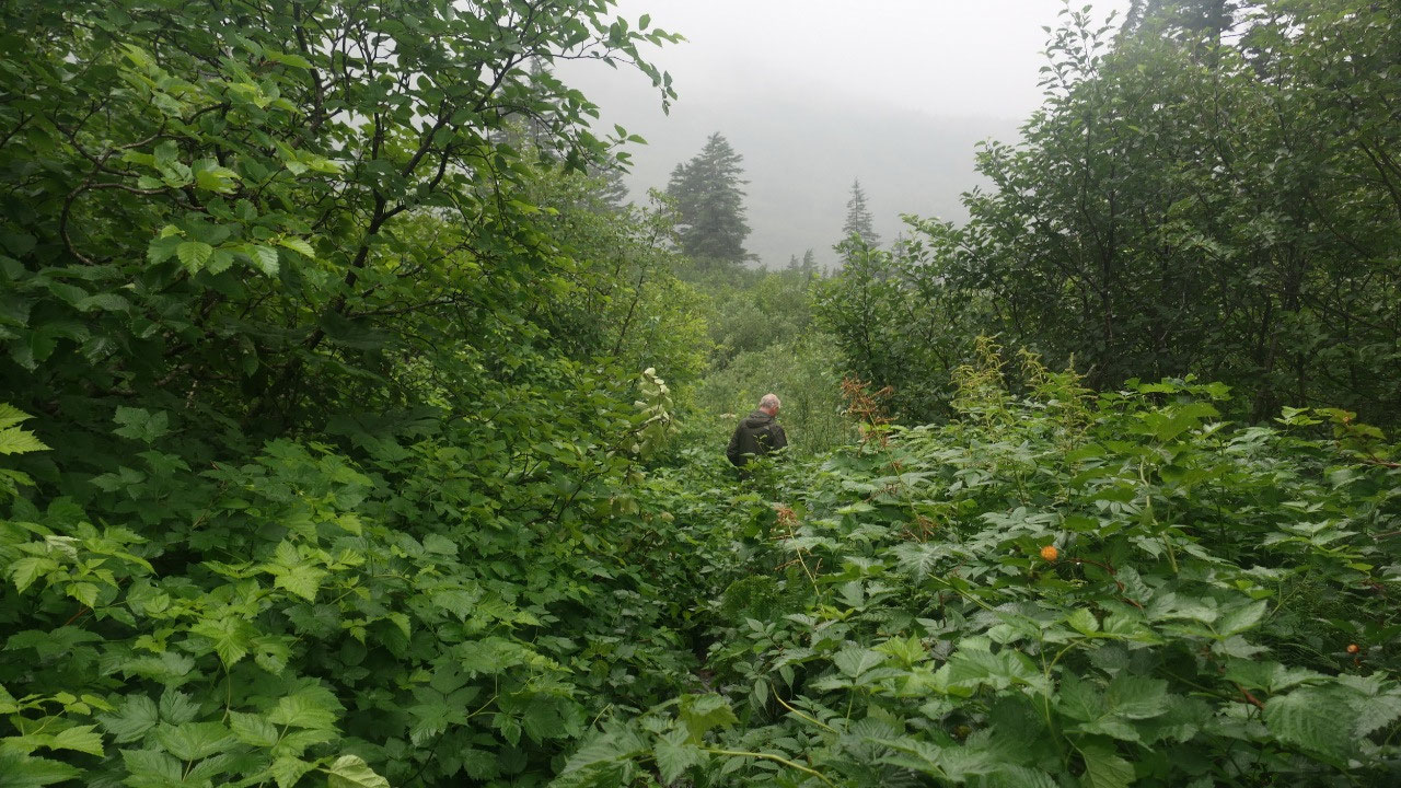
Ok there is maybe one more thing to
do, Gine read about the 0.7 mile trail to the horsetrail falls: sounds not to
long perfect – let’s check it out, a big sign indicates the way to the parking,
then we follow the road and a super nice boardwalk through the forest, then the
trails get a bit tight and we get a bit wet and more board walk – up the hill
and more boardwalk and then starts the greenery – what know it feels like we
are nearly there and shouldn’t give up but also it looks like super wet and how
much more and can we get lost and it rains and could be slippery – Gine went a
bit up, the greenery is shoulder high and you can only image the trail as there
are rocks underneath you as where otherwise it is earth – then comes another
boardwalk and more greenery and then you turn the corner and it goes down hill
through more greenery and no end in sight – I guess we turn around, as we are
already soaking wet and the walking is super slippery – so slowly we make our
way back: by now it is raining and we need to change all the cloth: shoes into
the front for drying and then we are ready for a laundromat to dry our cloth.
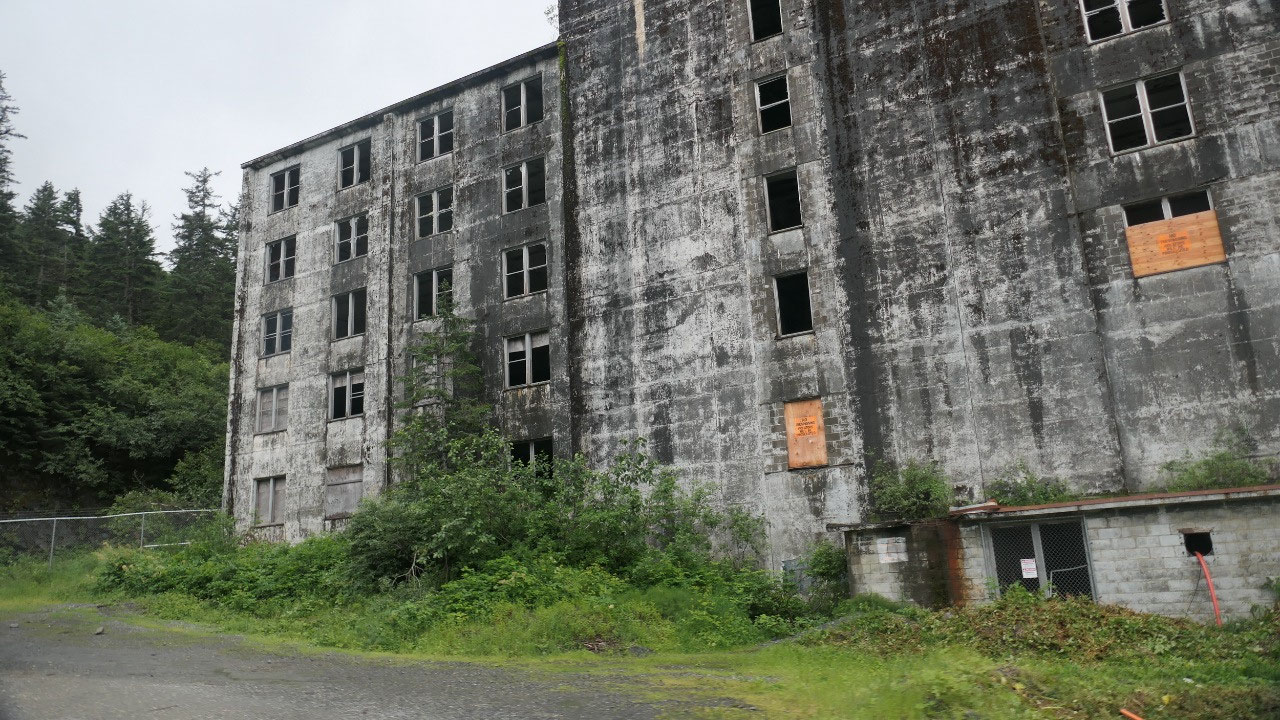
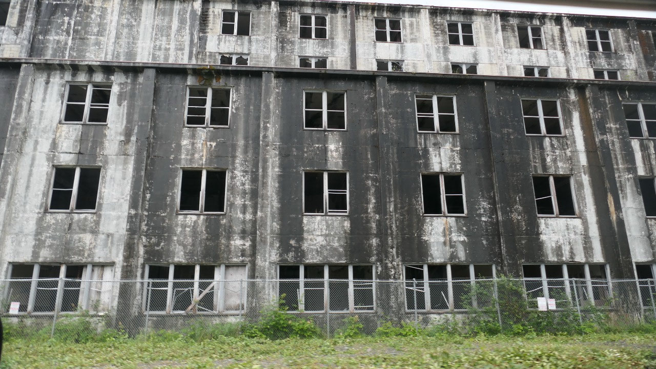
Upps I nearly forgot we drove by the
US Buckner Building a real ghost town building:
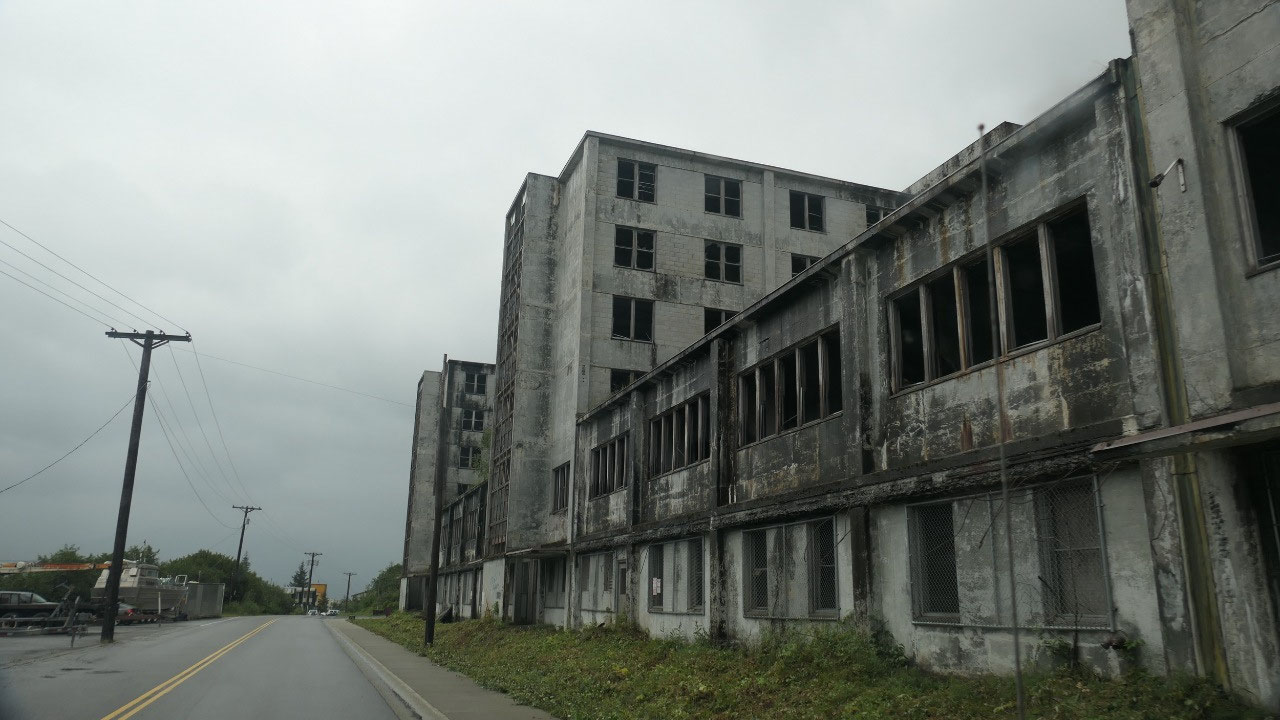
- This one was also built during the cold war in 1953 and then used for 10 years by the military
- It started then to fell in ruins, the windows are all with chickenwire – and then there is a sign which says Asbestos – guess it will sit and rot away here
Good bye Whittier. By now it rains and
you nearly can’t see anything and so we head back through the tunnel and as we
head along the Turnaggen Arm we first thought we are lucky that the weather
gets better but that was a short 5-Min-Happiness – as it got rainier and
rainier as we headed towards Anchorage.


2025-05-22