 Matanuska Glacier, Alaska, United States
Glenn Hwy - Palmer
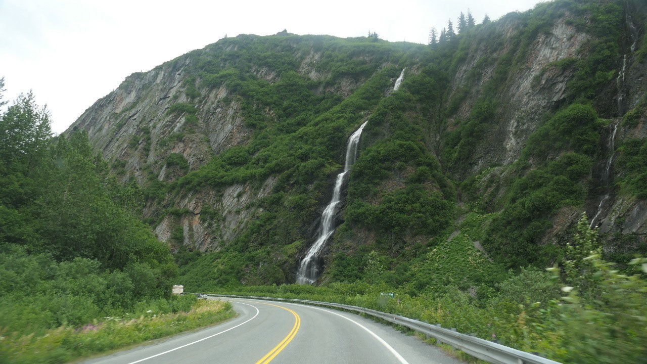
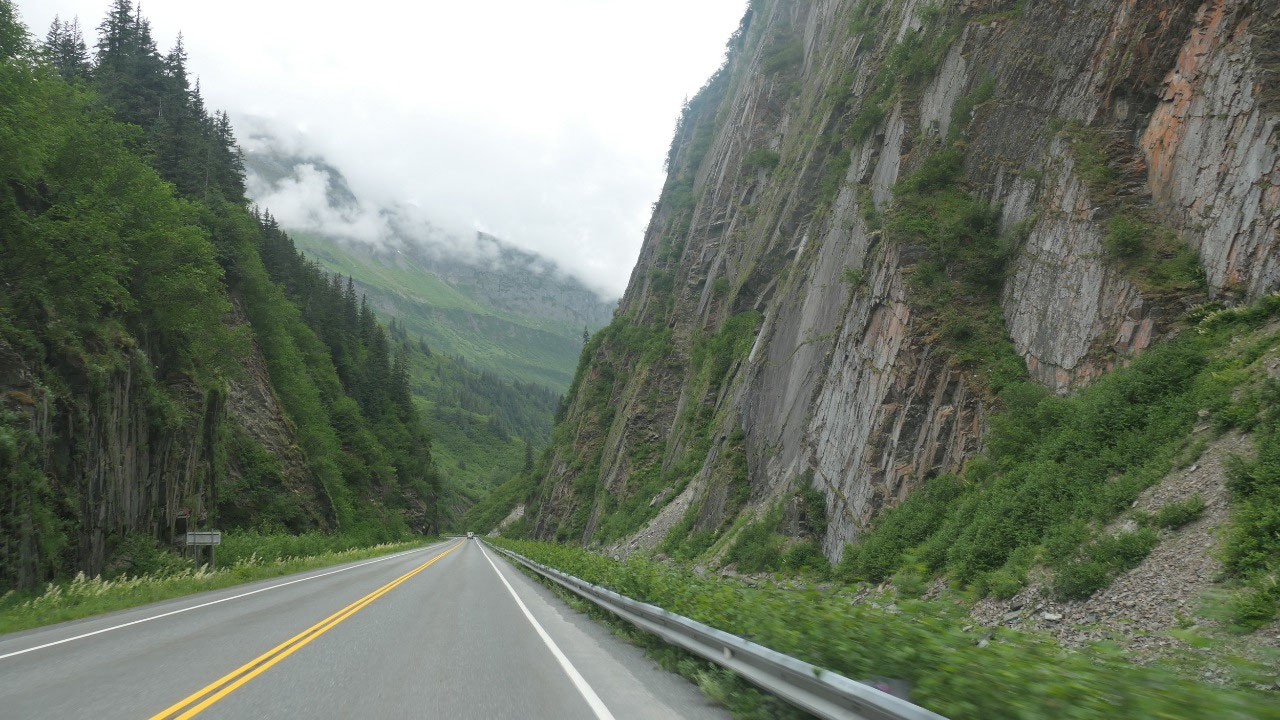
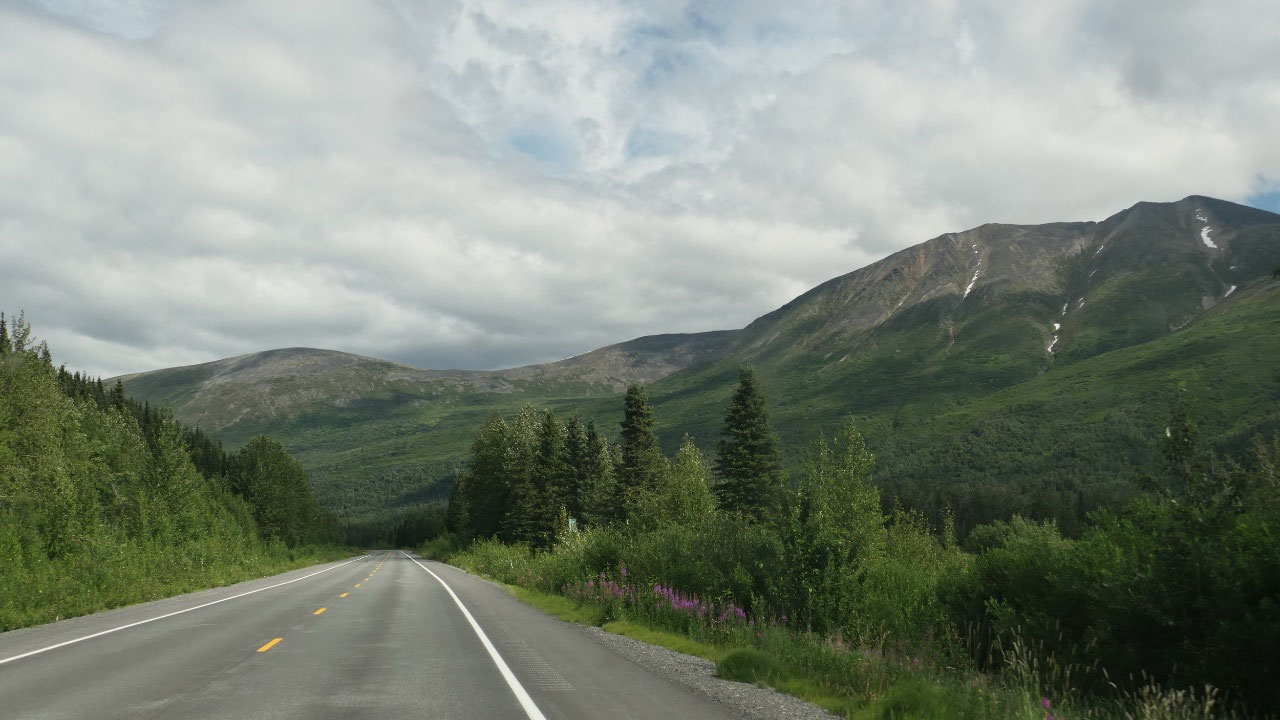
Backtracking on the Richardson Hwy
Most of the time we drive each road
only once – as we move forward but this time it was not possible so we drive
back through the Keystone Canyon – I do have to say, when you drive it the
opposite direction the view is different and it is super cool. We actually
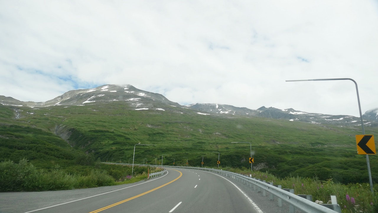
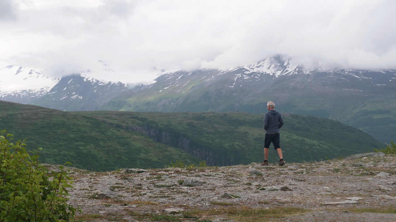
stopped at a viewpoint up on top of the Thompson Pass – we didn’t stop here before
(unbelievable) – the first stop up there we went really in a 4x4 parking lot –
Gine would not have driven down over the steep downhill and hilly “road” or not
road – Paul thought our Pickup can handle it easily.
And as we go downhill on the other side
the sun is coming out and some blue skies appears – and the weather warms up.
The hills are amazing this way.
Coffee with Forest Valley view
After driving for over an hour we
decided it’s time for a break, and it’s funny when we stopped we discovered
that this was a stop we thought we could stay overnight but Paul thought it was
not level enough but it was perfect for coffee with an amazing view and
sun!!!!! Gine said we have to sit another 10 Min here and soak up some sun!!
It’s funny as we want to leave Mandy can’t decide if she wants to be in the
front or in the back.
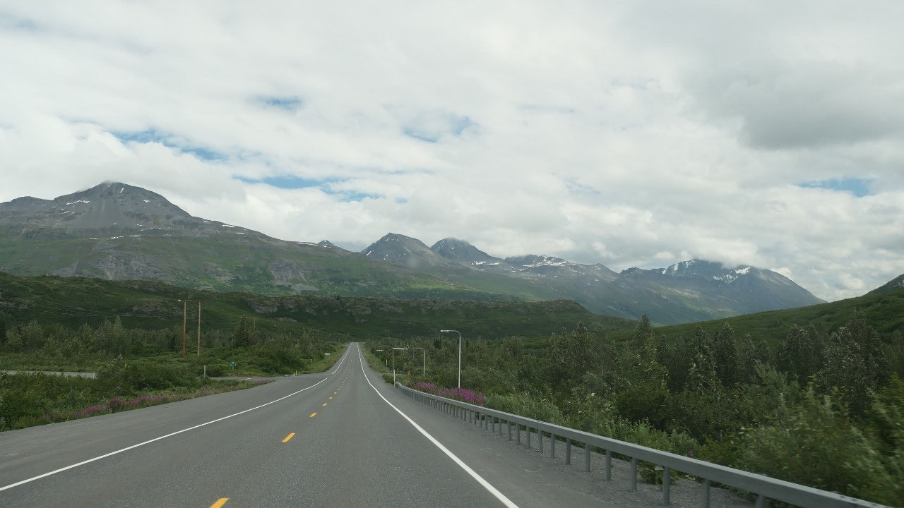
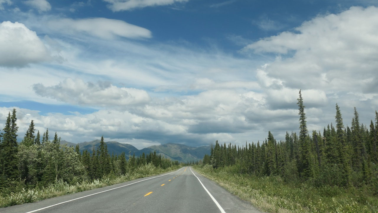
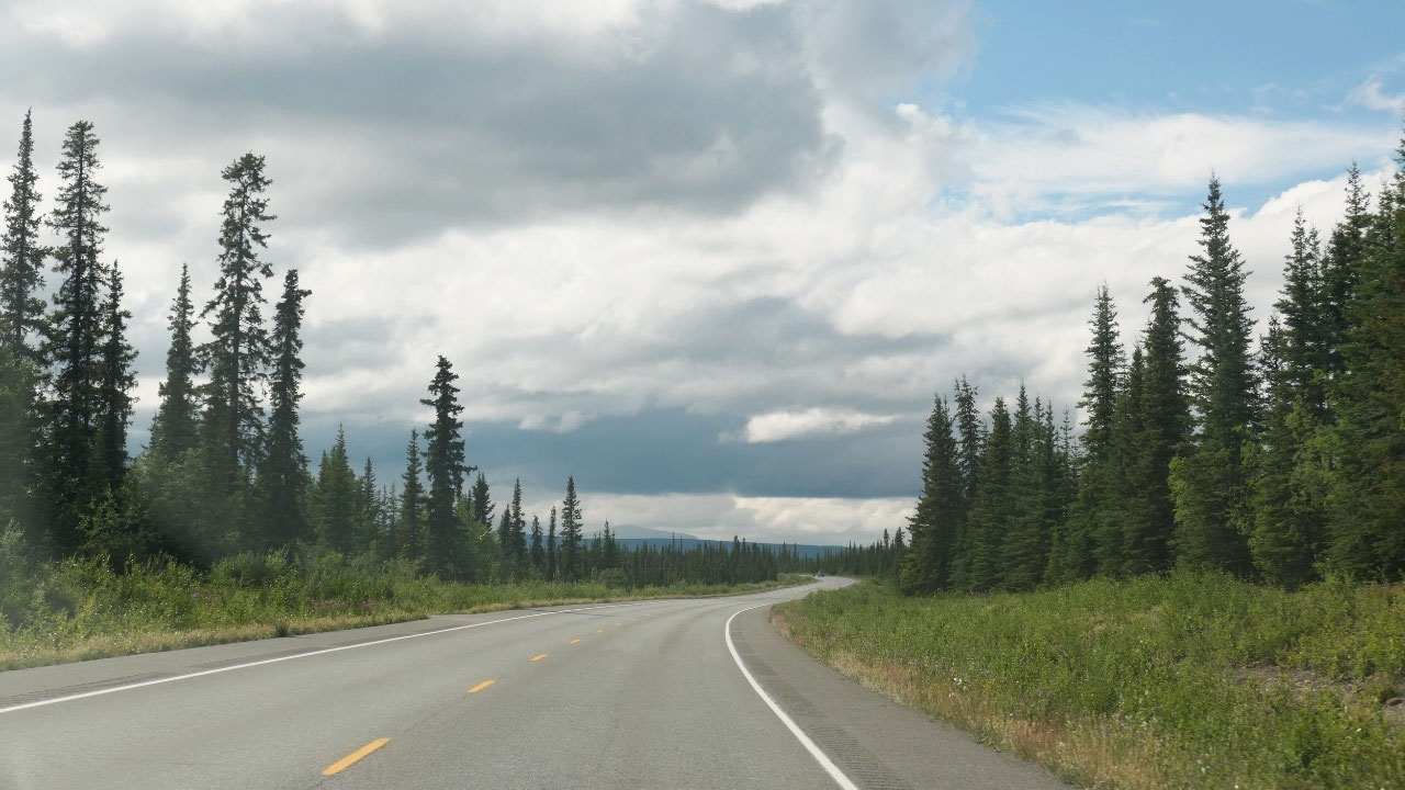
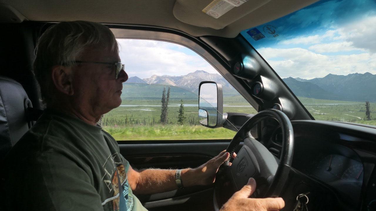
Once behind the mountains we drive
through forest and more forest until we come to the turn off to the Glenn Hyw.
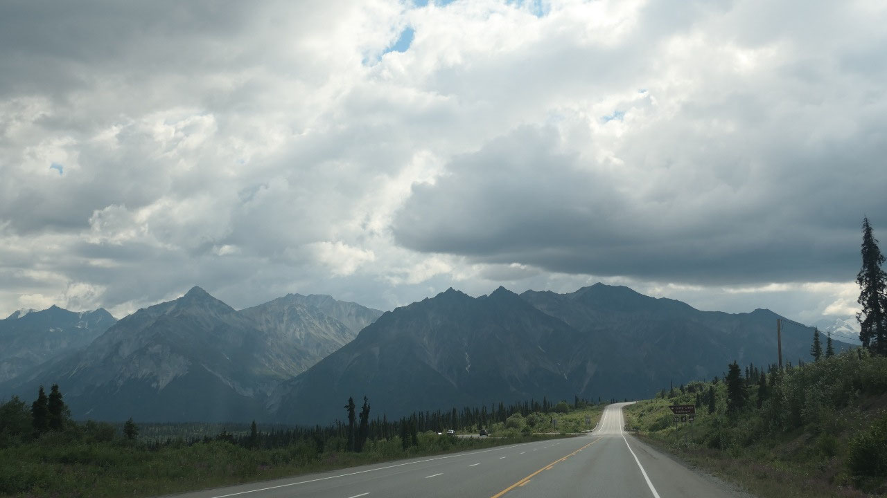
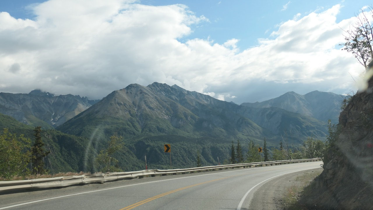
Glenn Highway
Today we will drive the Glenn Hwy –
originally this was not on our plan, but as we couldn’t get the ferry, here we
are:
- It goes 189 miles from Anchorage to Glennallen and is Alaska Route 1
- The Glenn Hwy got built in 1942 and was the final link of the Alaska-Canada Hwy to Anchorage (it got approved the first time in 1905, they finally started to built in 1933)
- The building was done with local labor (not the army) - they had six basecamps like here in Sutton – during the peak 600 men lived in a camp and worked 3 shifts around the clock
- Some part of the clearing was to difficult with machinery and was done by hand with axes – the ground could only be moved in summer when it was not frozen – in spring the melting created rivers of mud that carried boulders the size of refrigerators.
- In case you wonder where the name comes from: in 1896 the US Army searched for routes from the Prince William sound to the interior. Captain Edwin Glenn and his man passed here from the Cook Inlet to the Tanana river. He led one of three teams to locate a practical route. One of his teams searched for 26 days with accidents, onset of winter, short on supplies – when they returned the clothes were torn, and they suffered from exposure and hunger. It took them 2 month
- The first nations used this route and their name for Matanuska means “river from which the trail comes out”
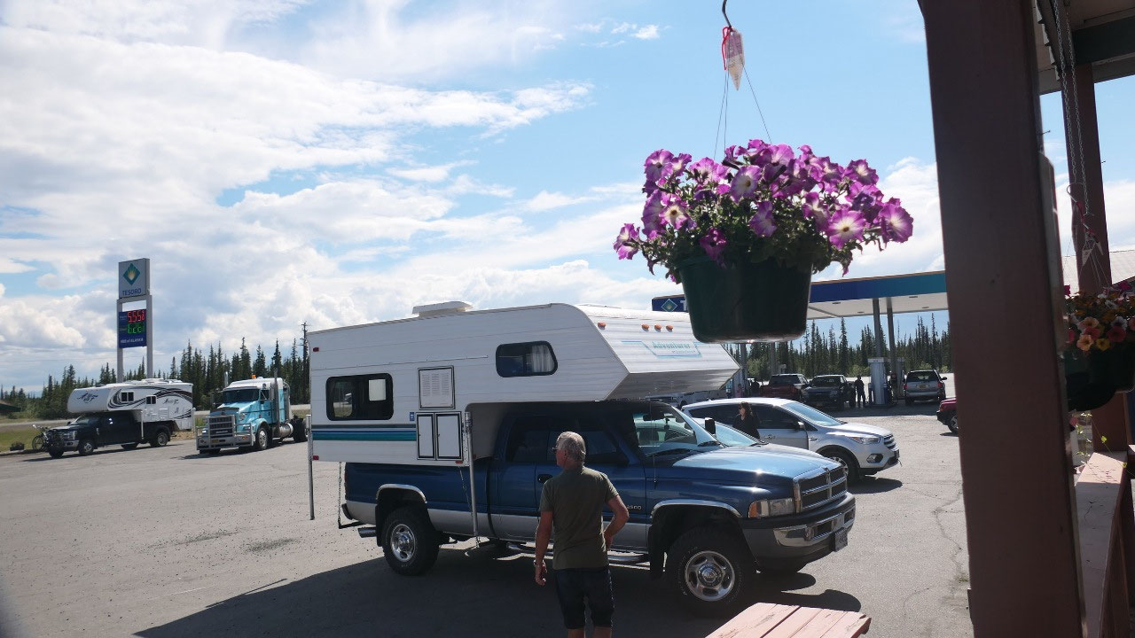
We fill up Gas (it’s always better
safe than sorry) and wanted to quick go on the internet – not possible as it is
free but we were unable to go in, and the lady didn’t have a clue. Ok so we
continue on.
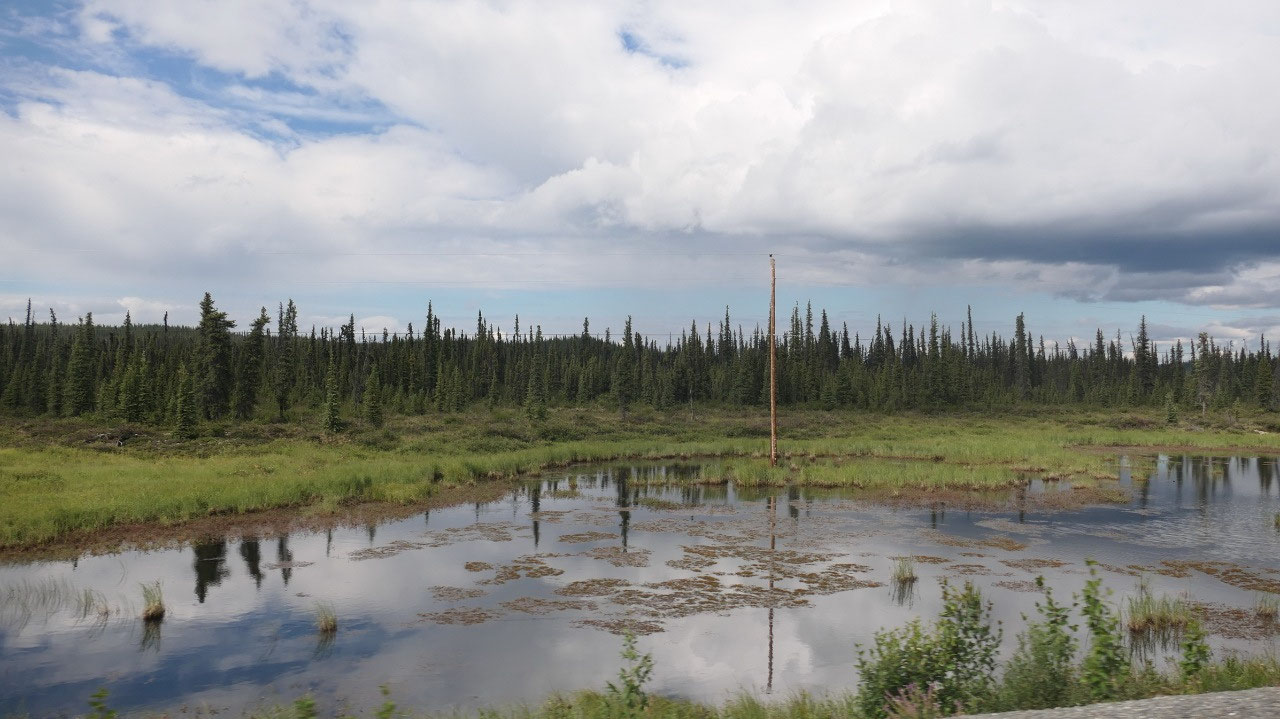
The first hour we drove was through
flat area with lots and lots of forest – the typical skinny tree not so dense
forest – which would be perfect for Moose.
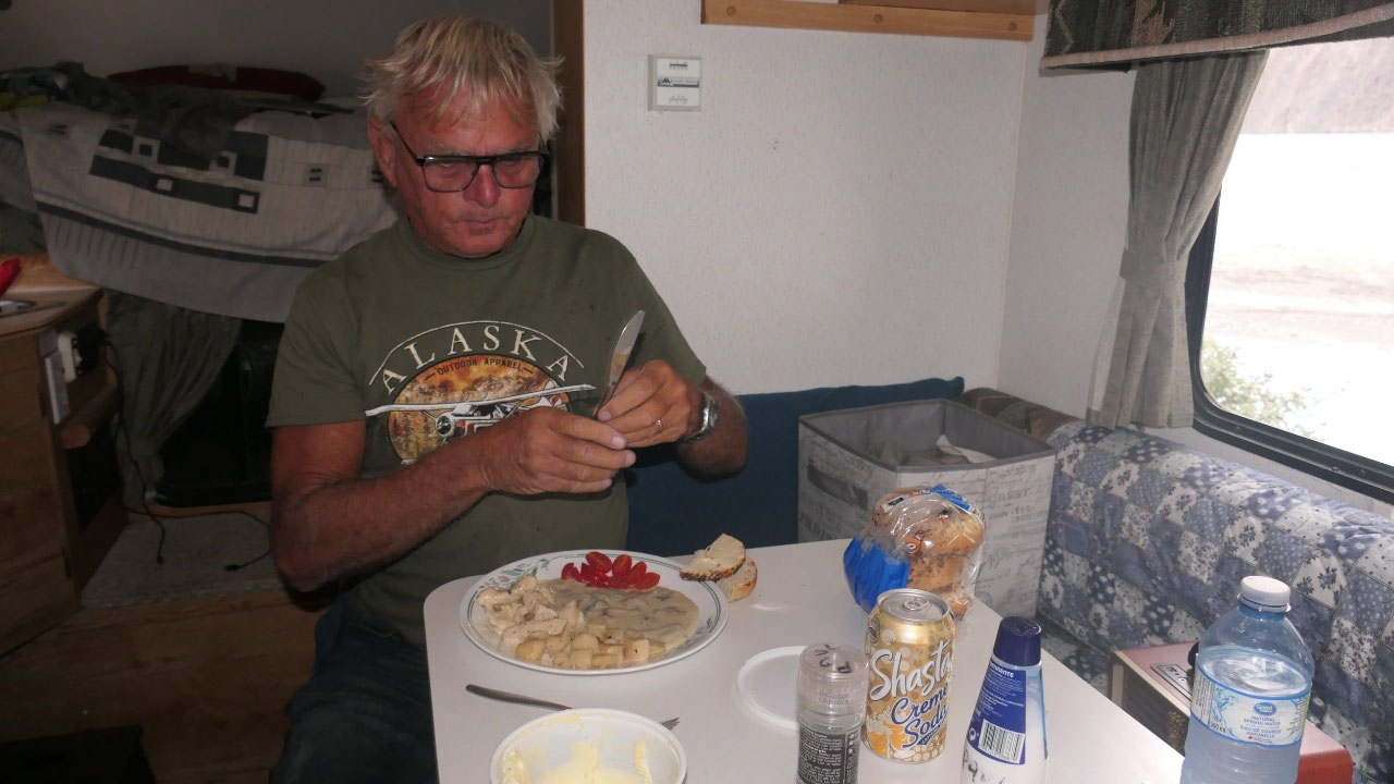
Coffee with rain
Gine said – enough driving, we need a
break: now the funny part is, whenever you need a rest stop then there is none
(otherwise they are around every corner). Finally, we found one and as it
started to rain and still had a few rain drops coming we had coffee inside… and
the break was shorter than planned, before we headed further west.
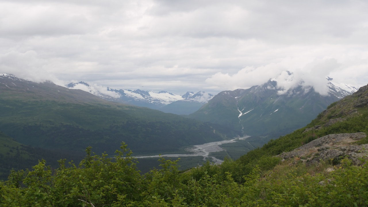
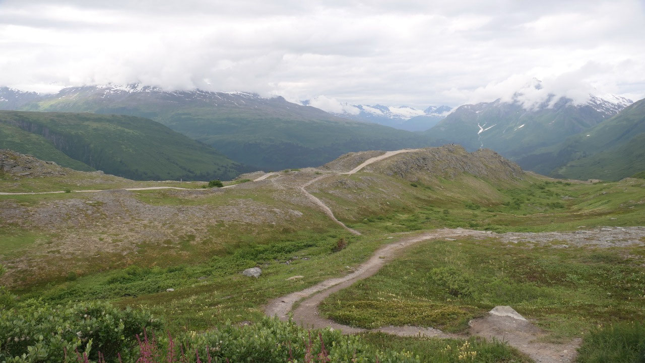
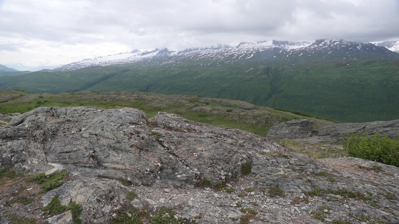
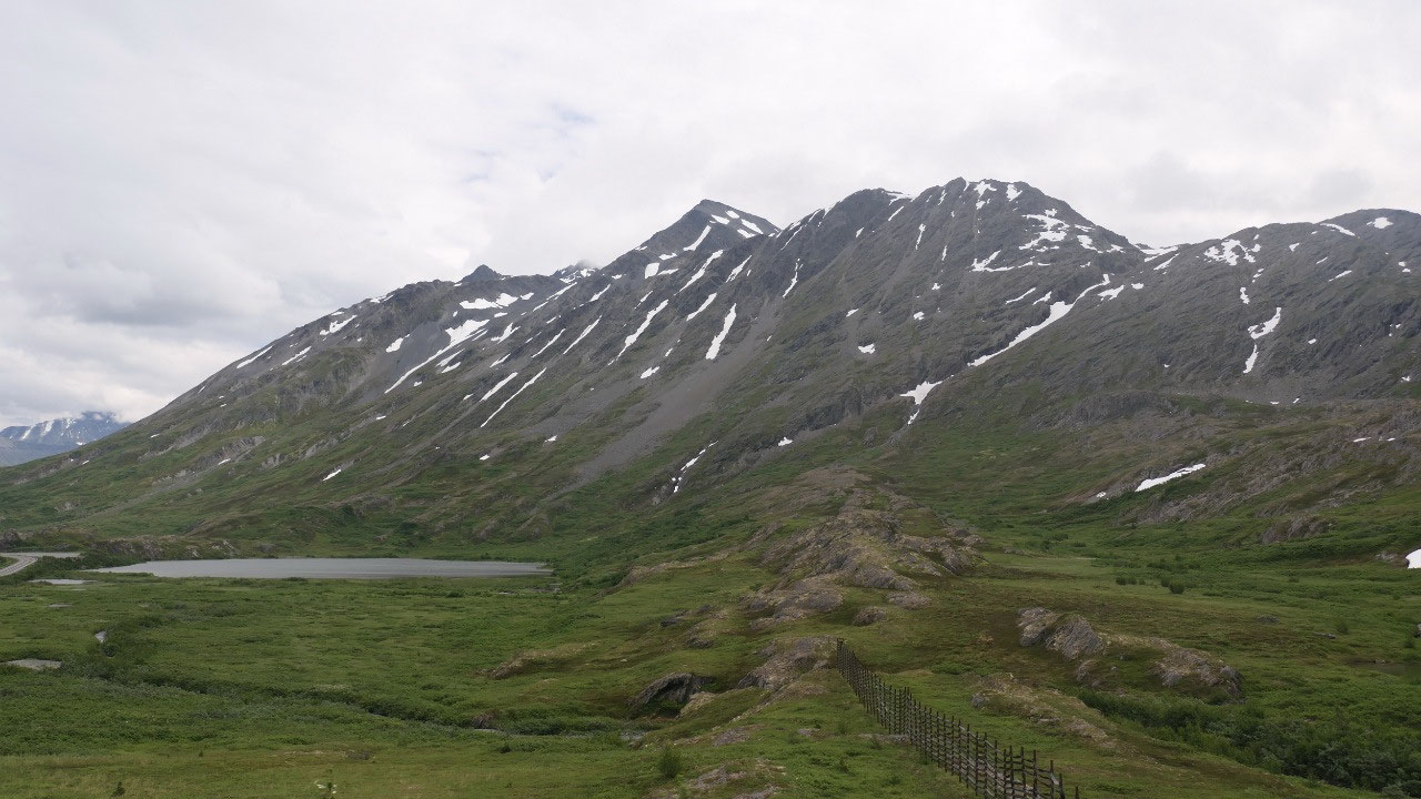
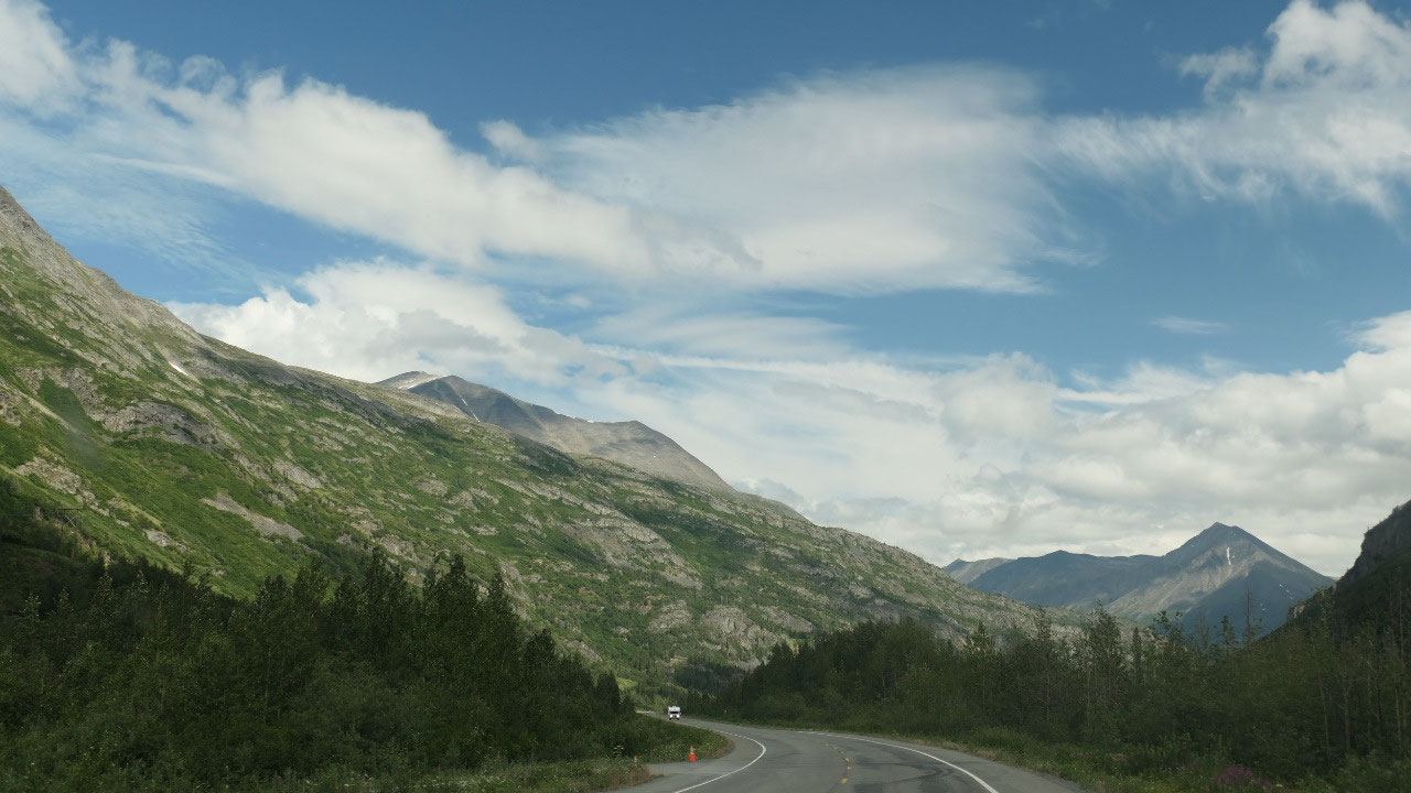
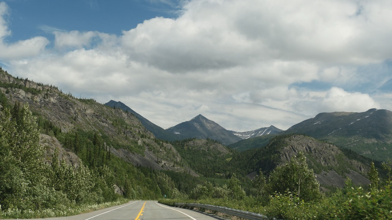
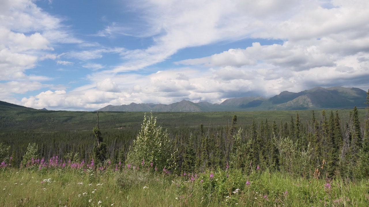
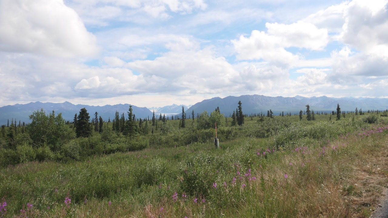
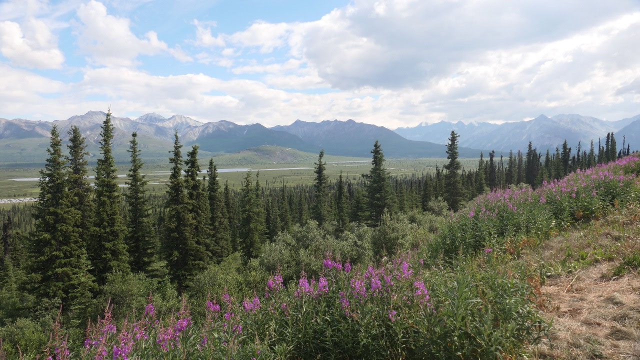
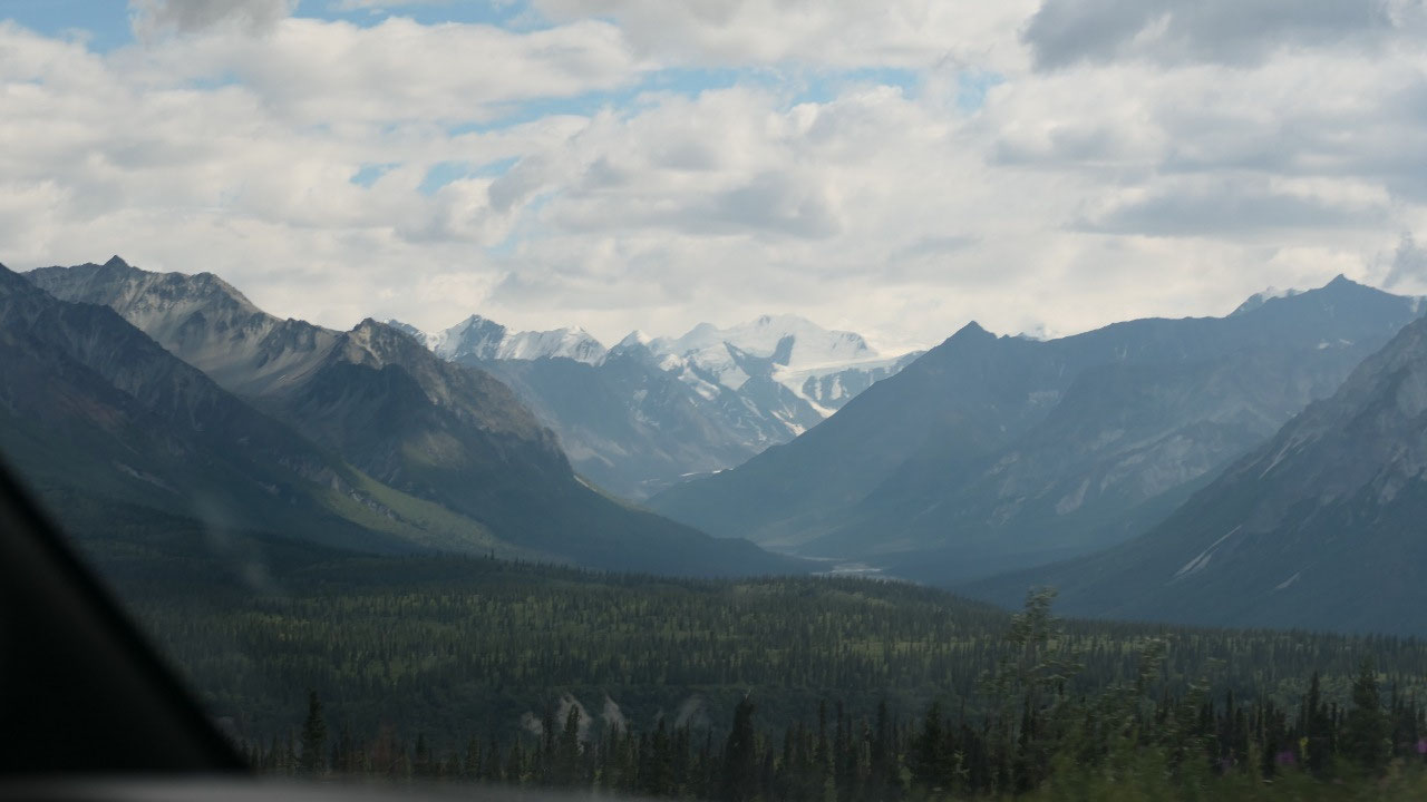
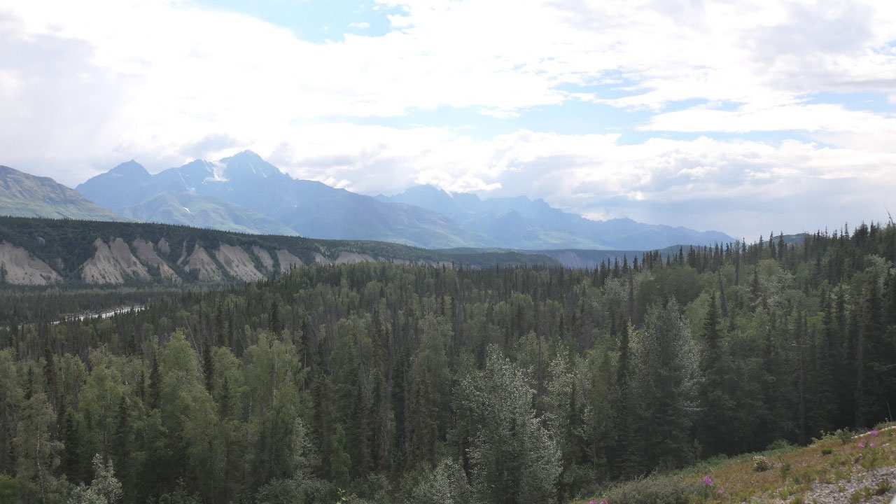
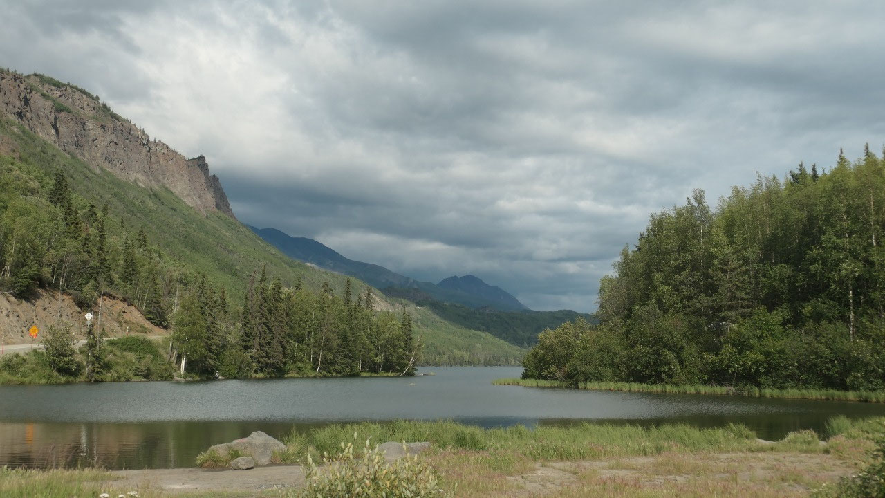
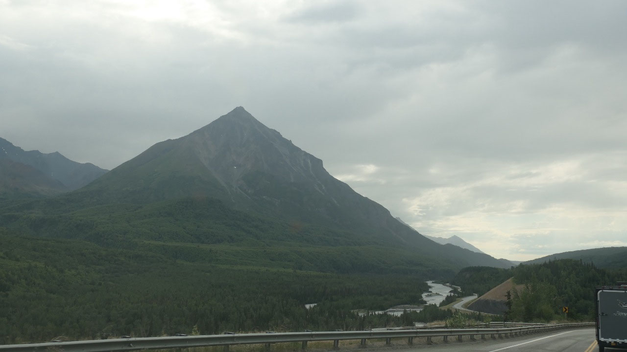
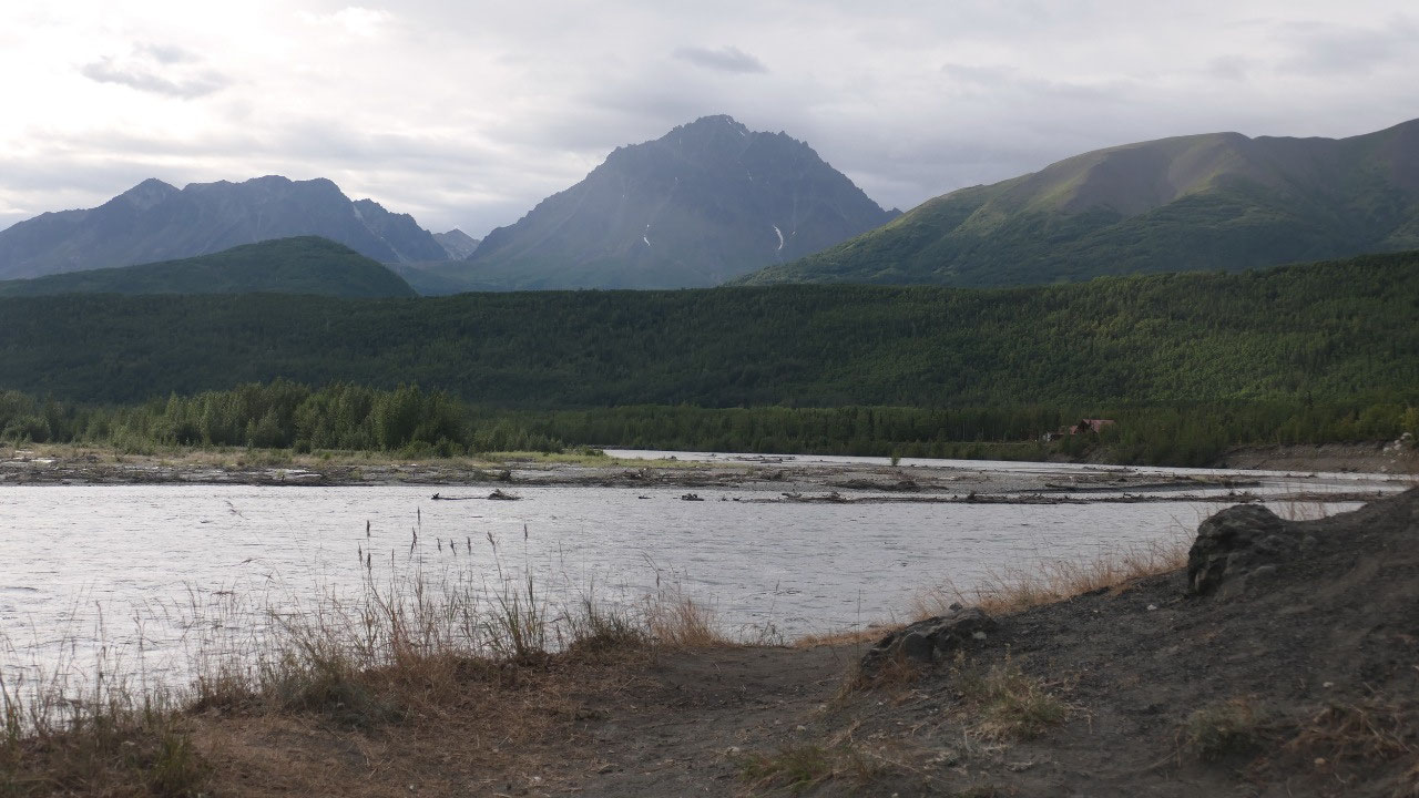
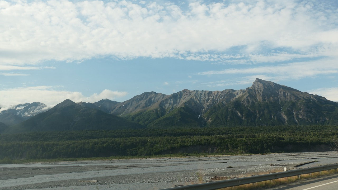
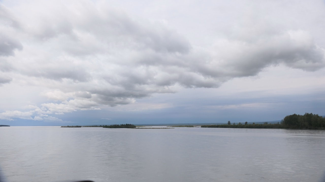
Viewpoint over lakes and the Valley
We had a few stops along the way as we
winded our way down from the Tahneta Pass (yes, it is the 2nd Pass
we went over today, this one 3000 ft) and had amazing views on the forest and
several lakes.
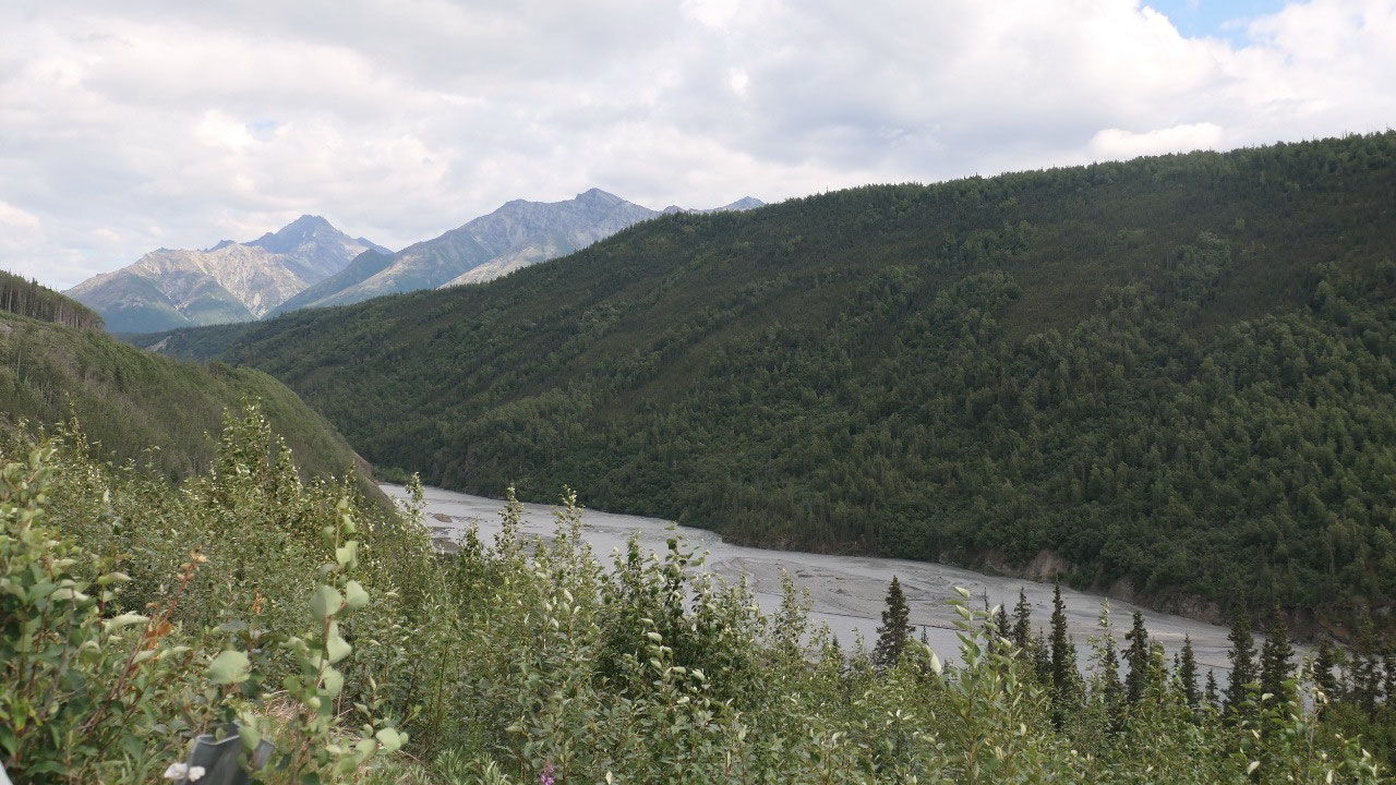
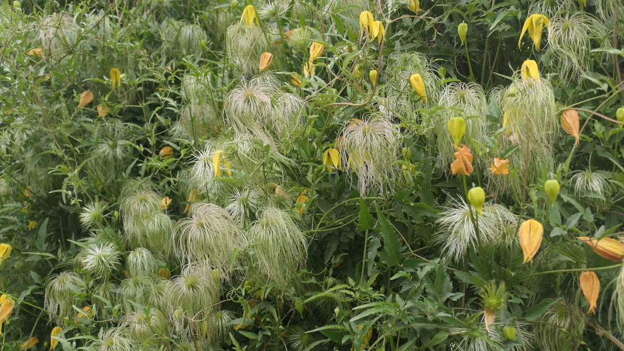
Also, we soon saw the first glacier in
the background super cool. This part of the road was super scenic.
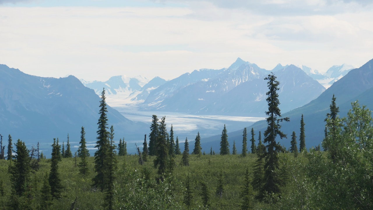
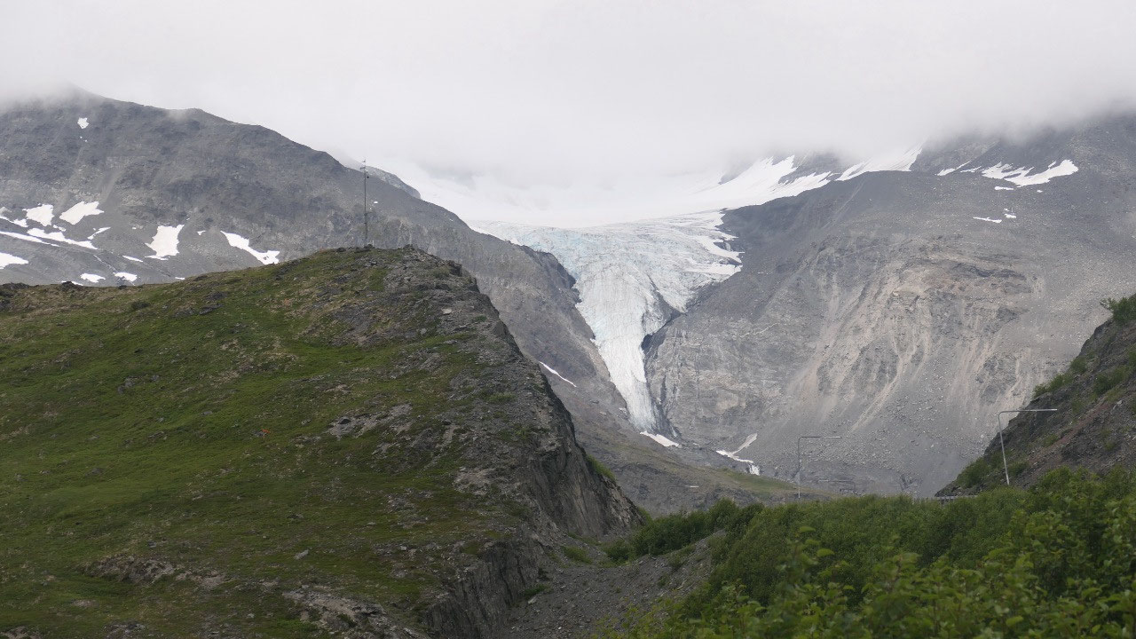
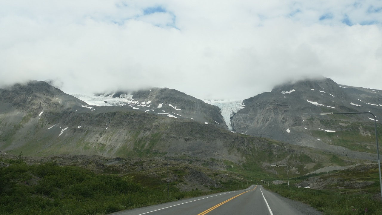
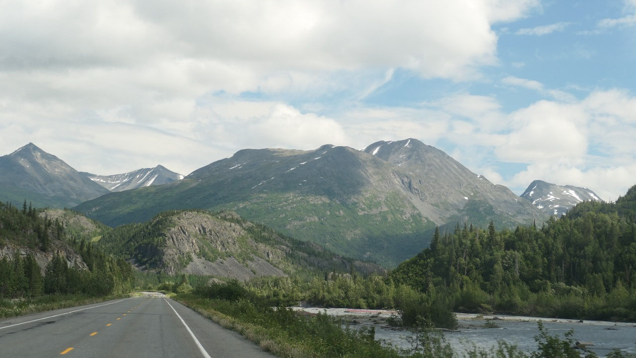
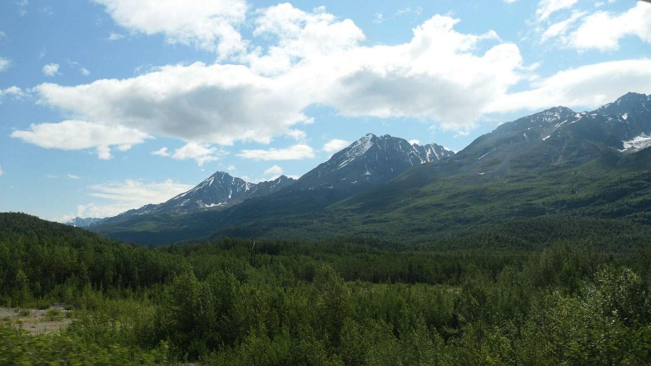
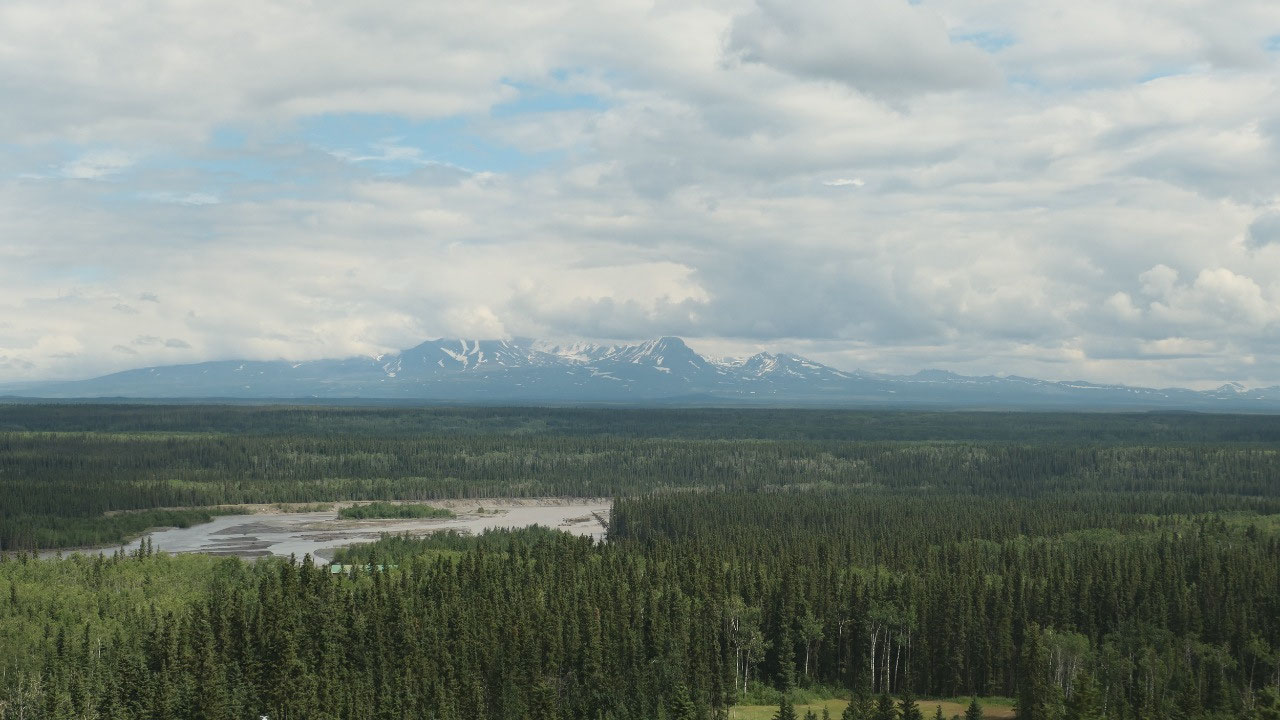
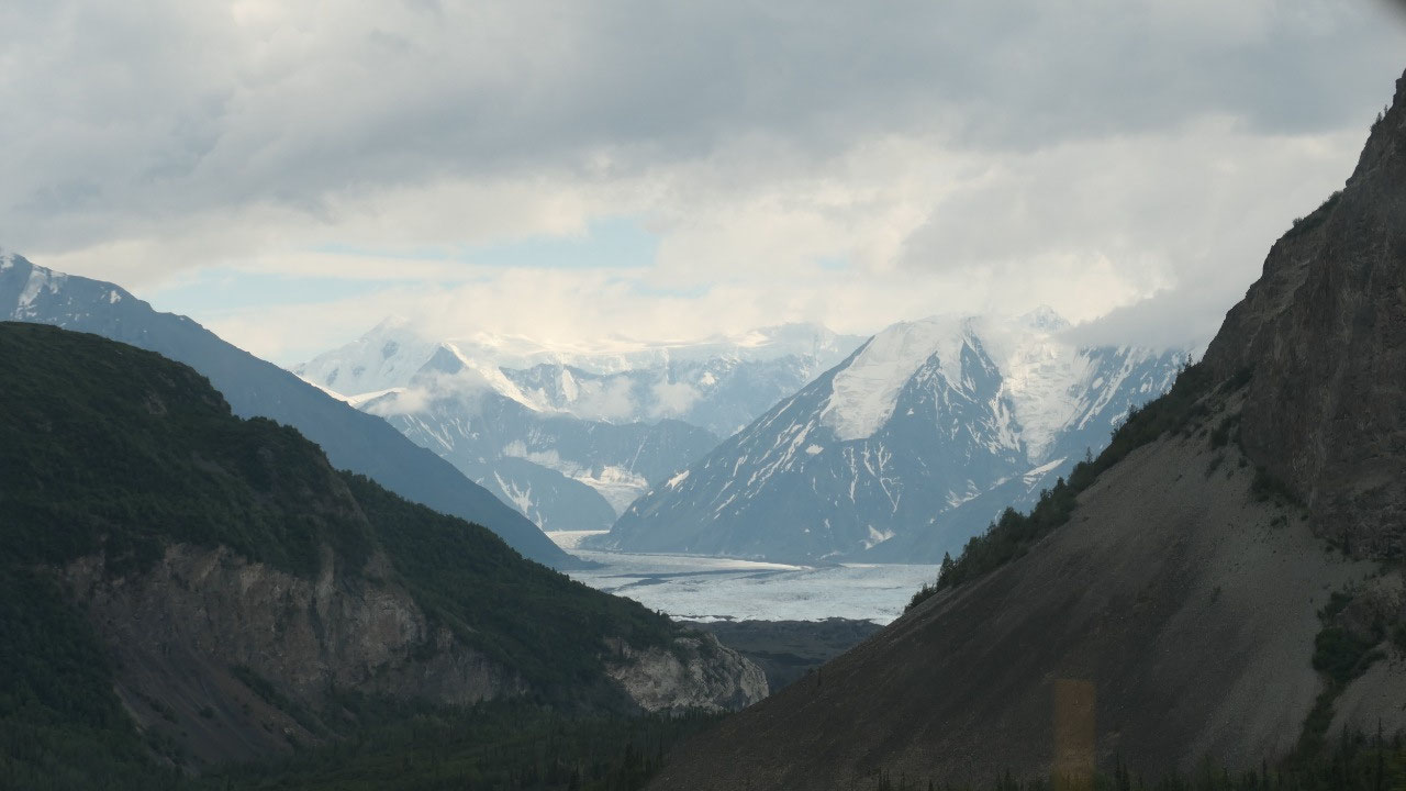
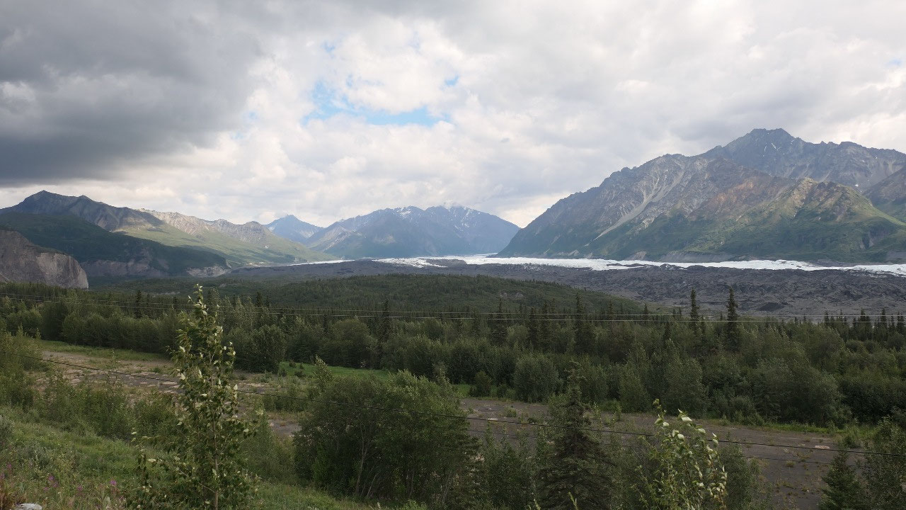
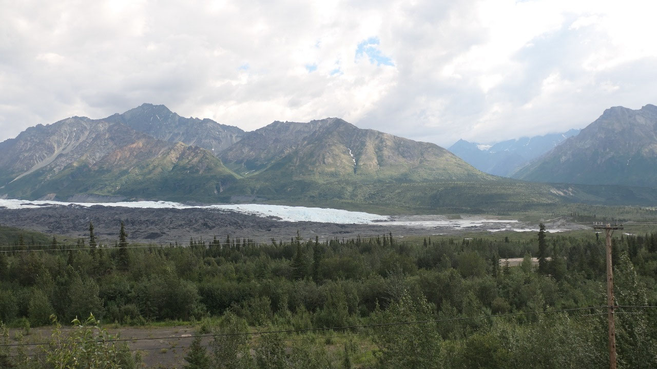
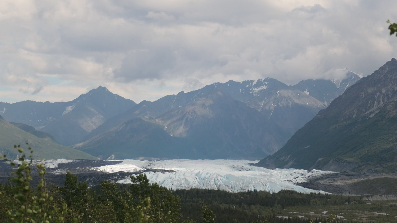
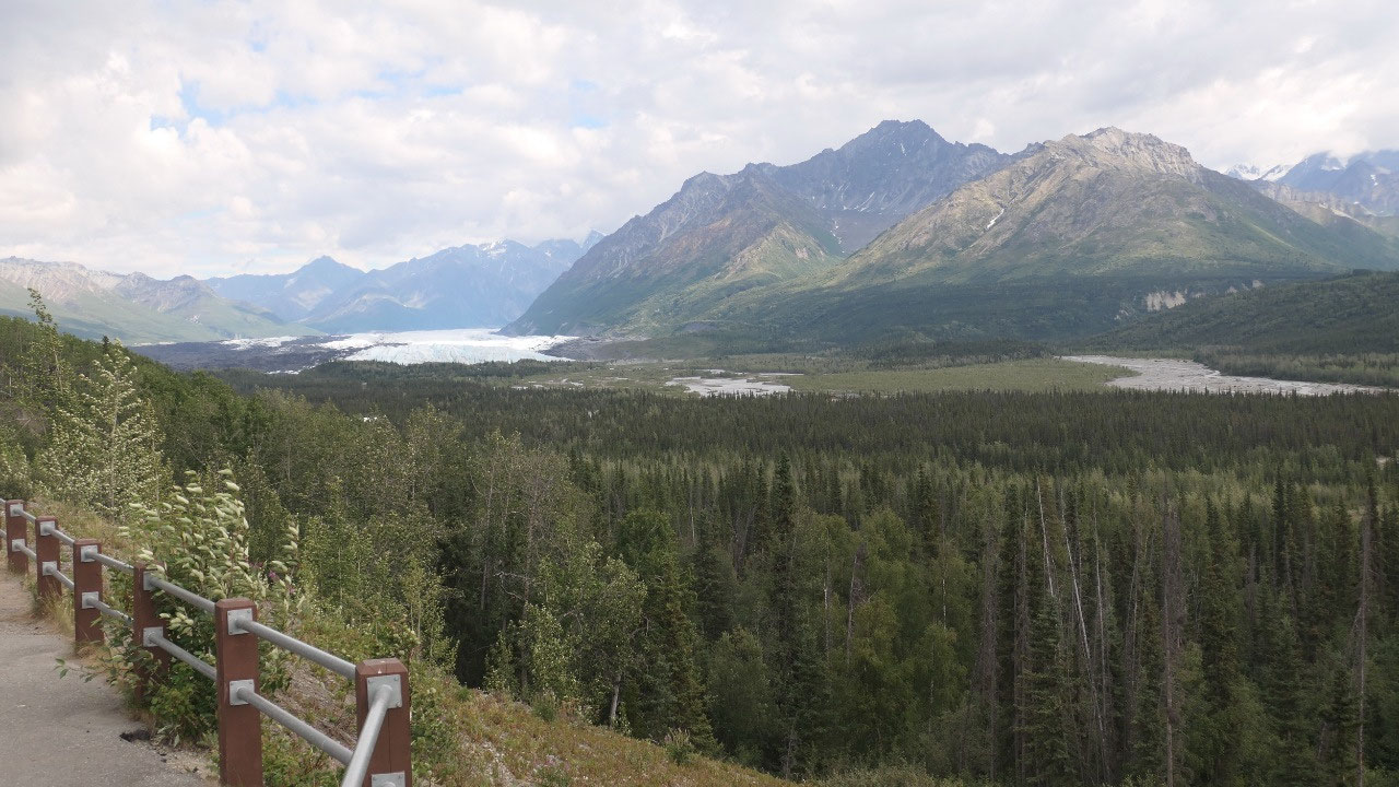
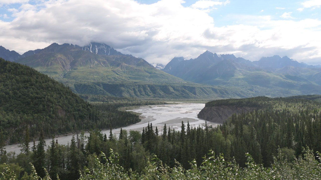
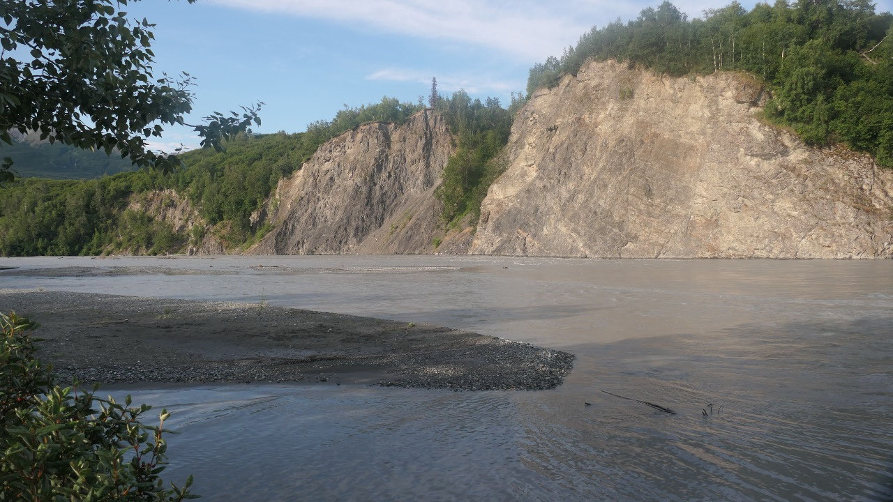
the long white Glacier: Matanuska
- 18000 years ago it reached all the way to Palmer (I wonder how they know)
- It is in average 2 miles wide and stable for the last 400 years (how do they know this, if white people only came 200 years ago????)
- And some fun facts: every continent except Australia has a glacier, 10% of the earth surface is covered in glaciers, glaciers store 75% of all fresh water, if all land ice in the world would melt the sea level would rise 231 ft word wide
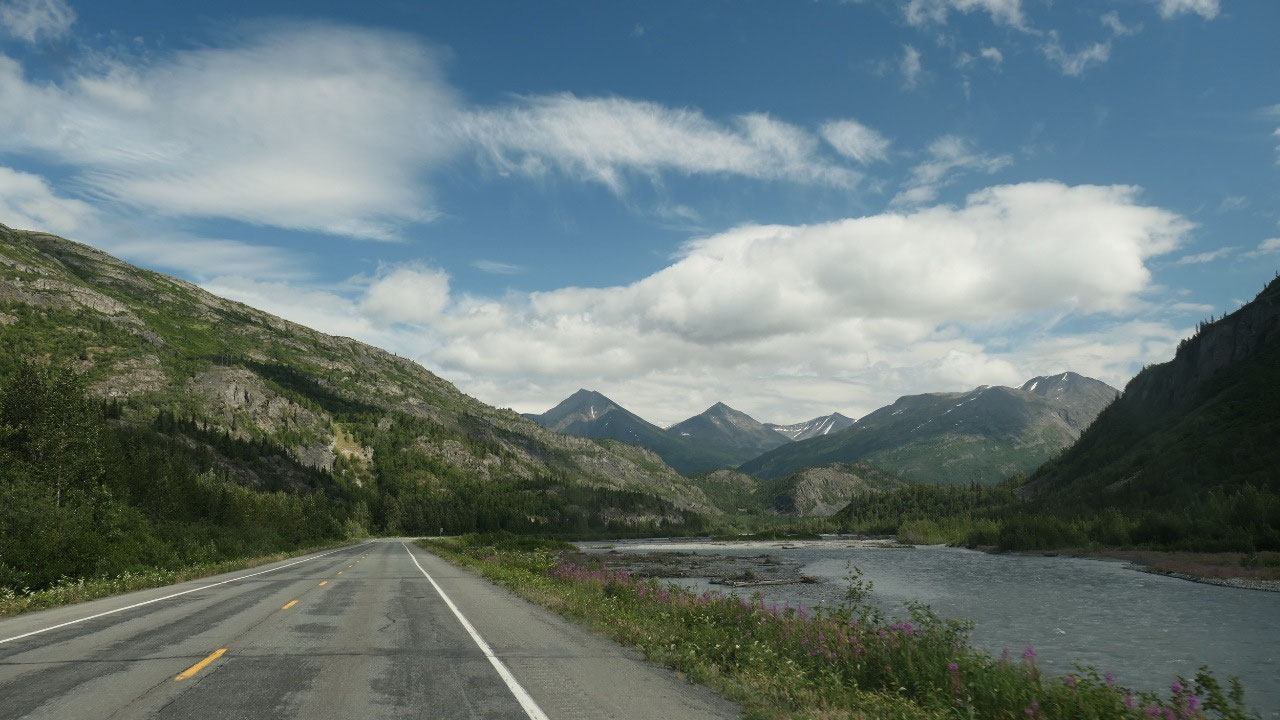
- Did you know that a lot of those rivers run silty in the summer, and then like this river run clear and turquois in the fall
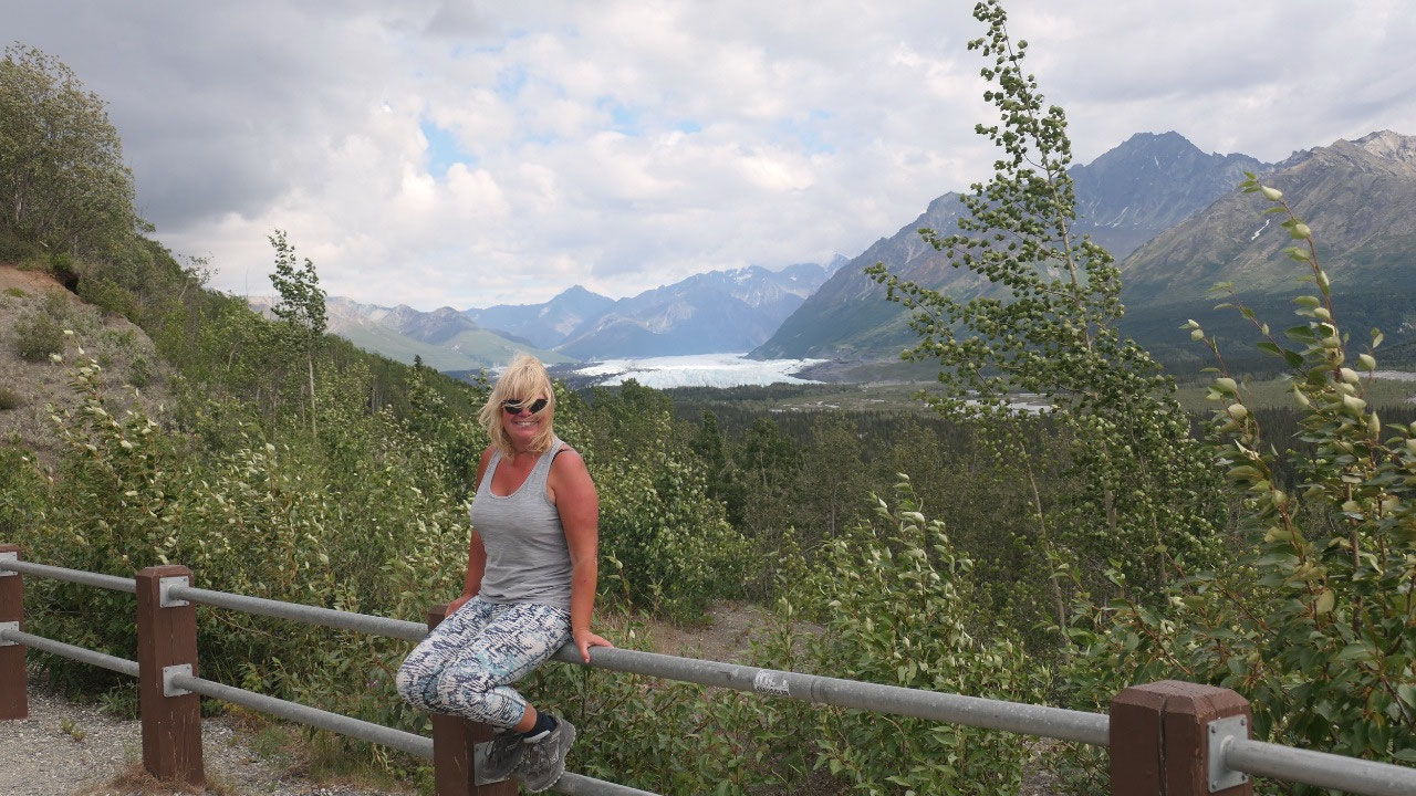
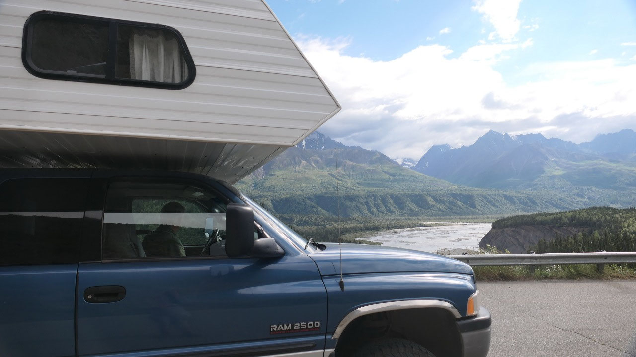
Gine read about this glacier and said
to Paul we need to stop, we decided not to go to or on the Glacier, as it is
pricy and we went on a Glacier before (which I think was more spectacular). We
stopped at a viewpoint and had a look at the long white winding Glacier going
down into the Valley. Soon after came the Rec Site and here they had another
wonderful viewpoint to have a cool view on the Valley and the Glacier.
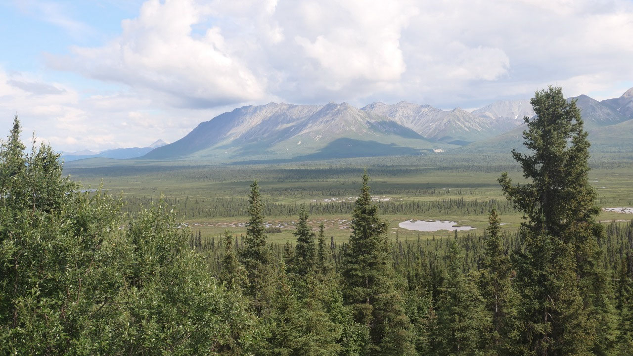
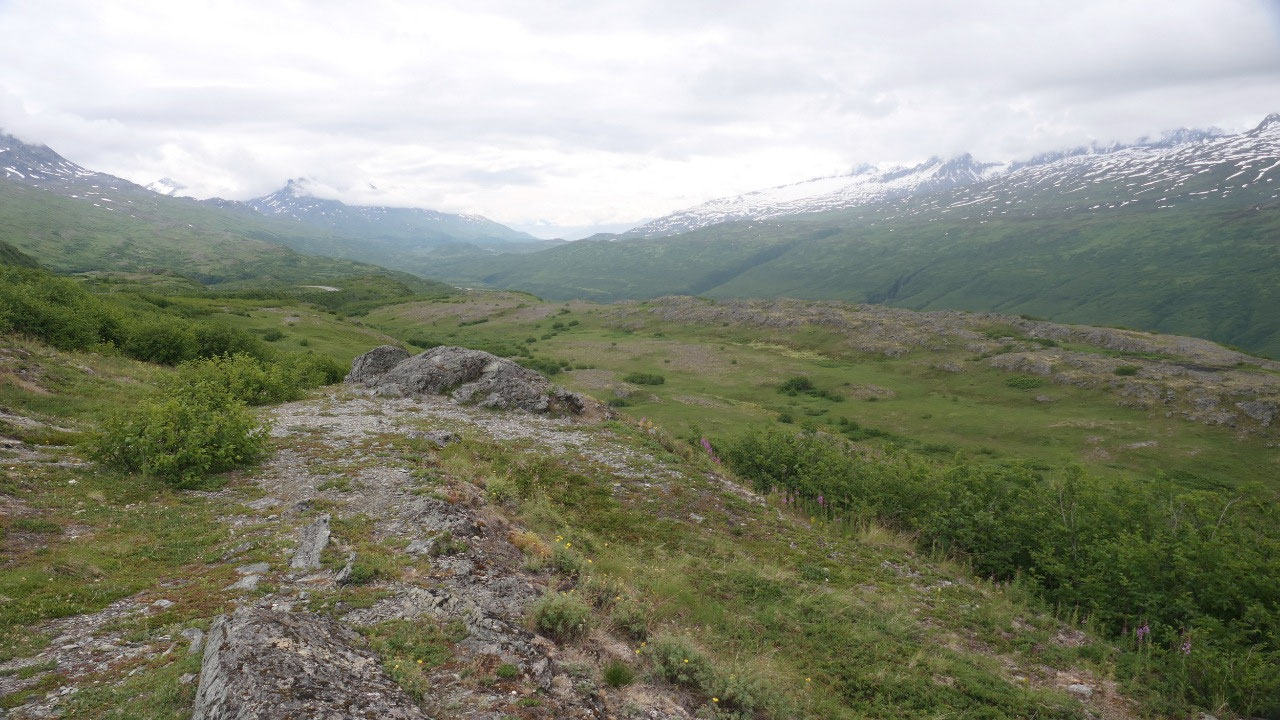
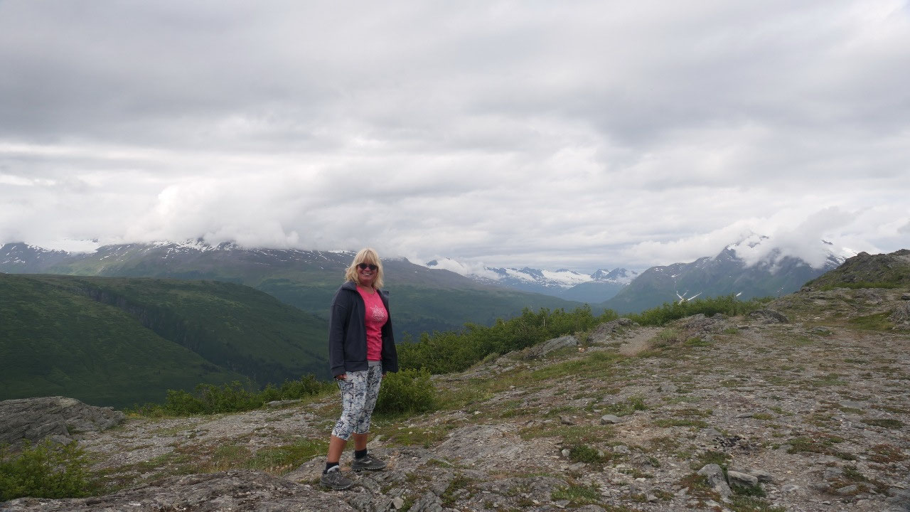
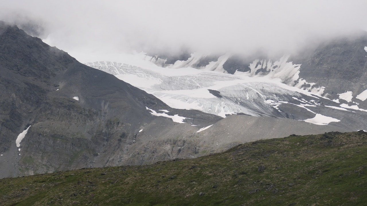
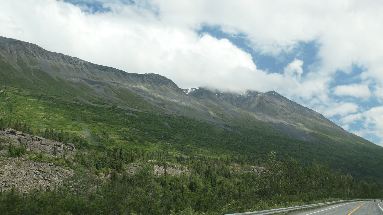
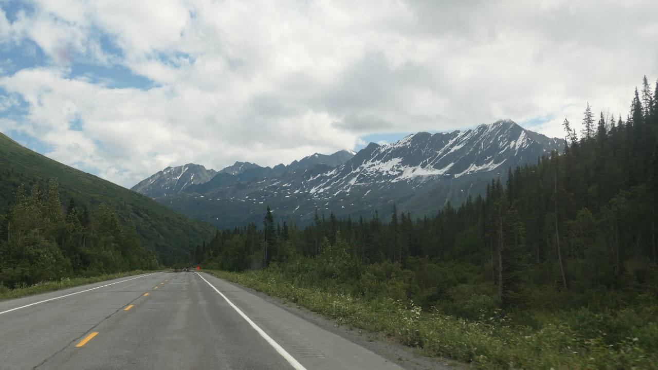
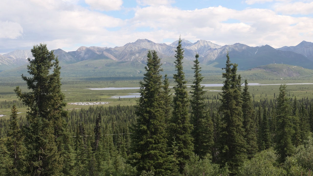
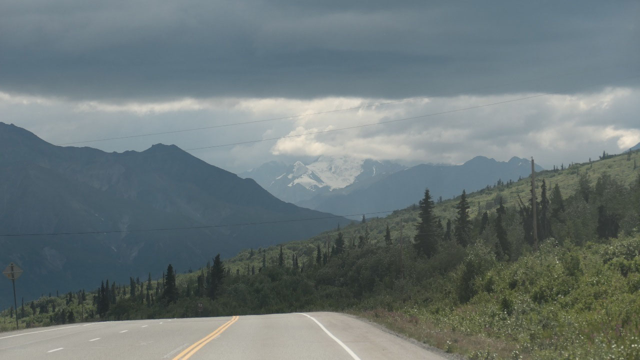
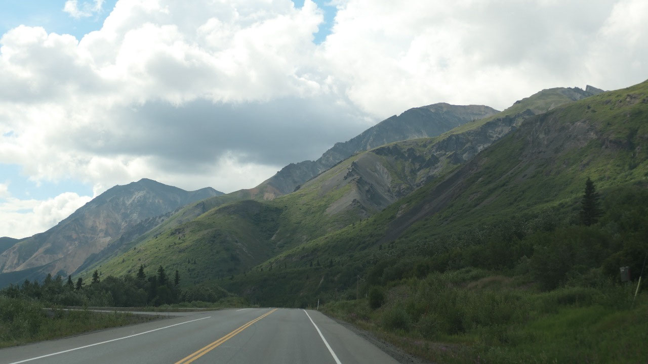
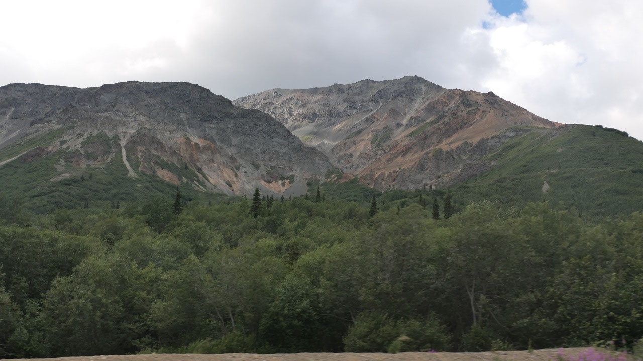
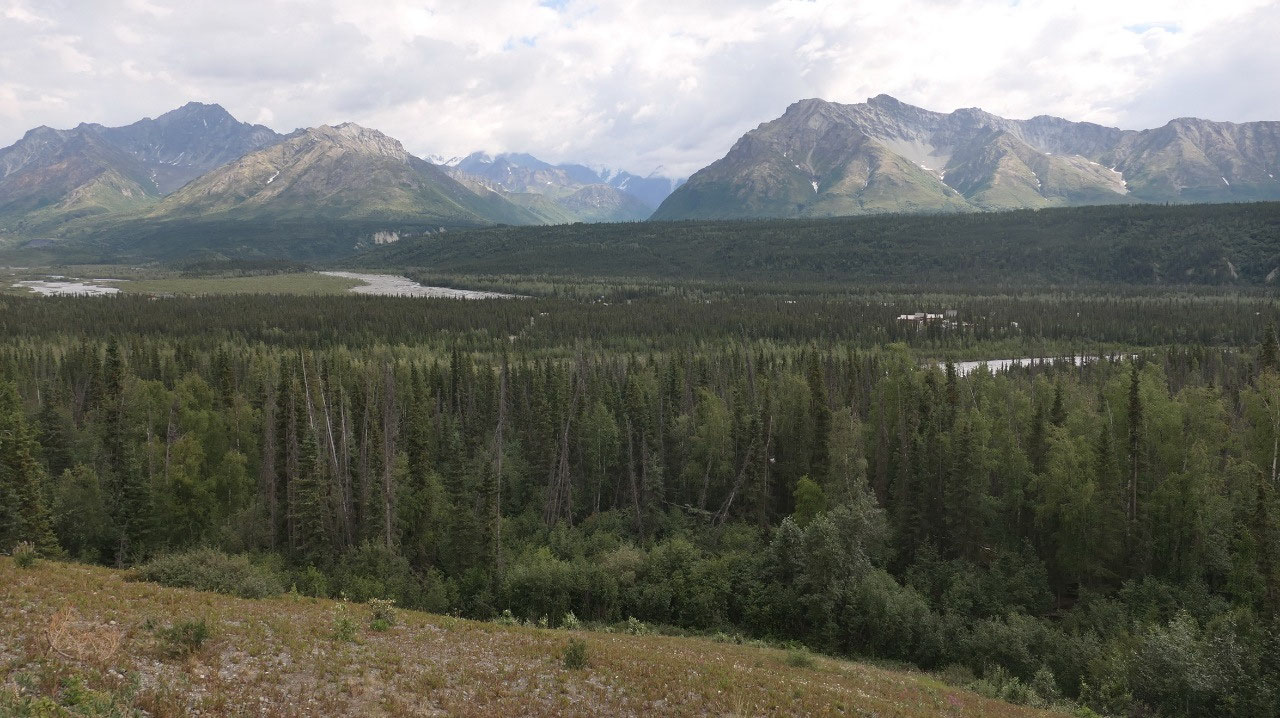
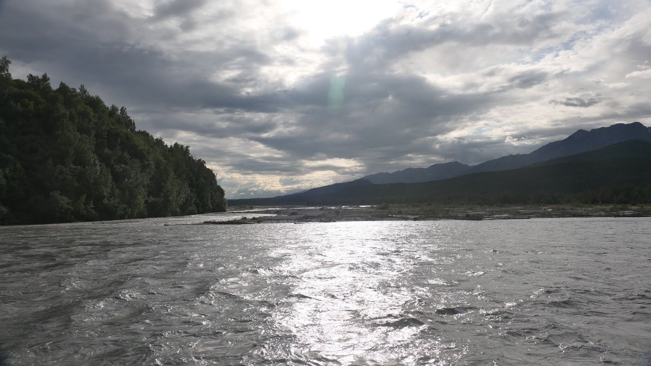
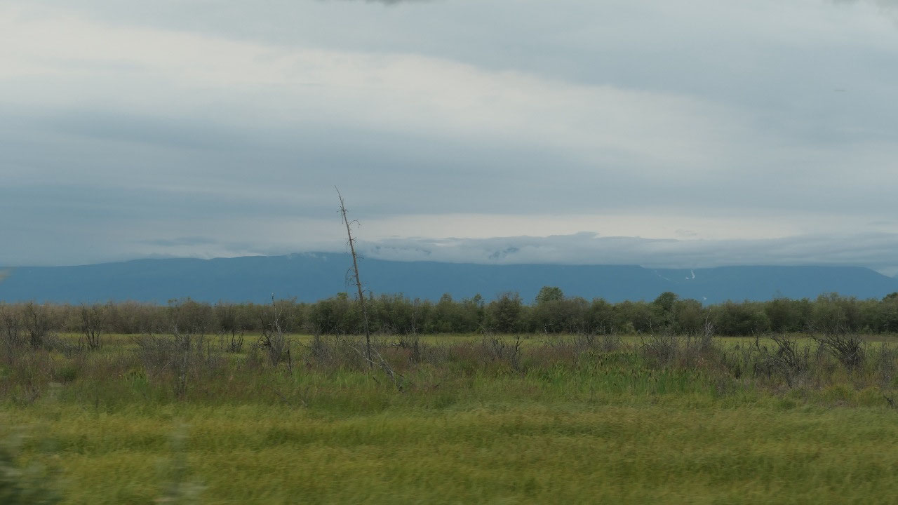
Along the Chutach Mountains
As we continue on we look across a
huge Valley with the Chutach Mountains on the other side – they are truly
incredible and a lot of fun to see, we even have to stop a few more more times
to enjoy them.
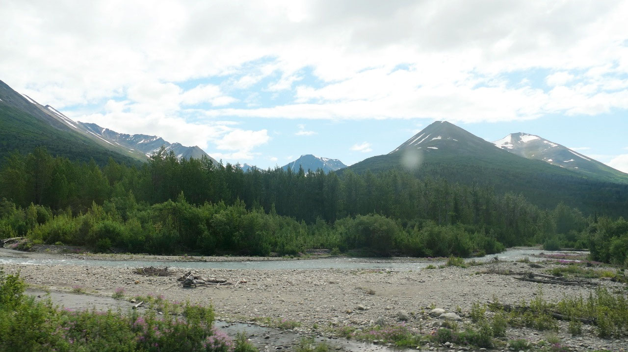
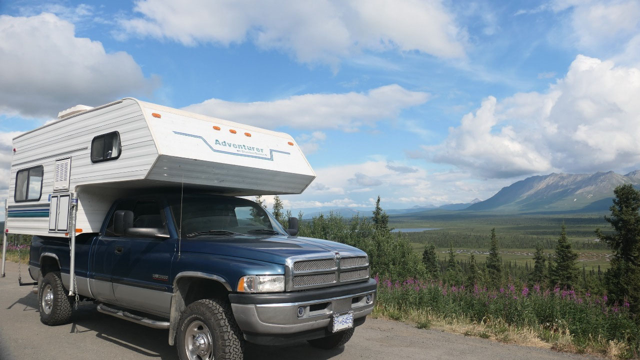
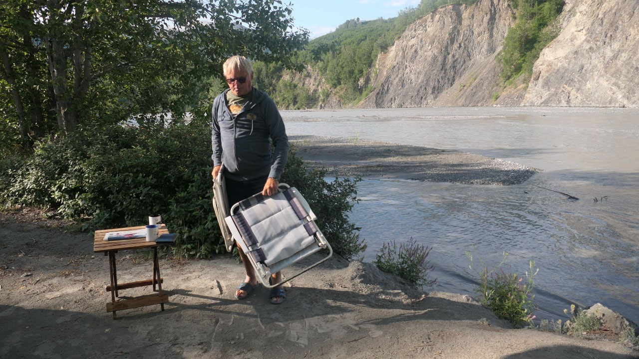
Where to stay for the night:
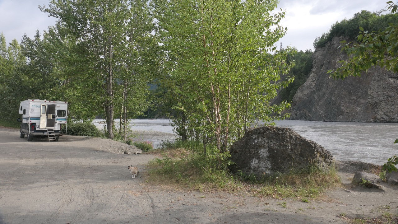
Paul said no-pay, so we checked out
possibilities, but a lot of the parking spots were to close to the road for our
liking, we did found one and set up and made supper directly on the river with
lots and lots of sand. After Supper the decision was should we stay or should
we go – what are Paul’s feelings with more people around?? And Paul’s phone
quit – really!!!
And we decided to stay – and see there
3 hours later another camper pulls up – as we could still see the road, Gine
thought it is kind of interesting that still at 9 o’clock you could see RV’s
driving up and down the highway – I guess some make their stops even later than
we do. As Paul wanted to continue on, Gine said: No as there are things we want
to see on the way.
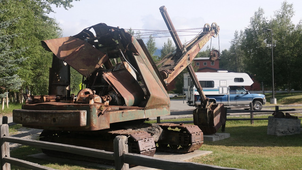
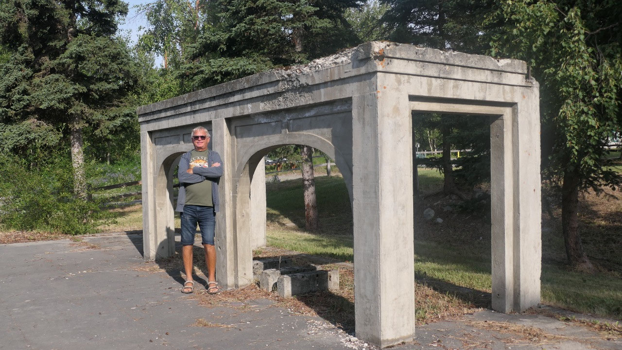
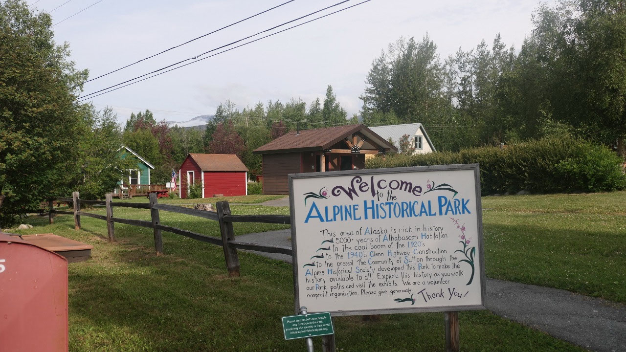
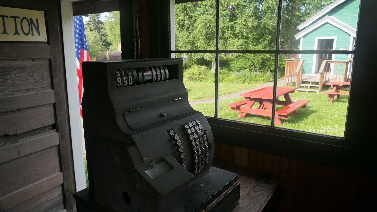
Breakfast at Alpine Historic village
We didn’t really have a lot of sun at
our spot and thought it was not so exciting, so we packed and drove to the
Alpine historic Village – where Gine said: first we walk – then we eat. And
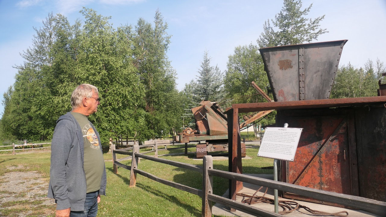
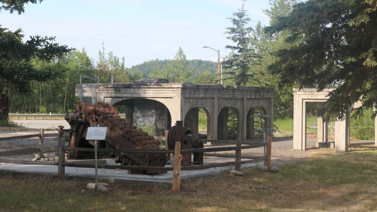
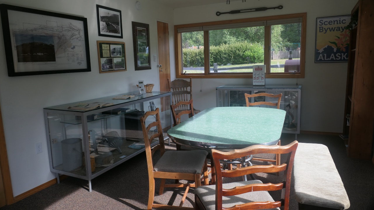
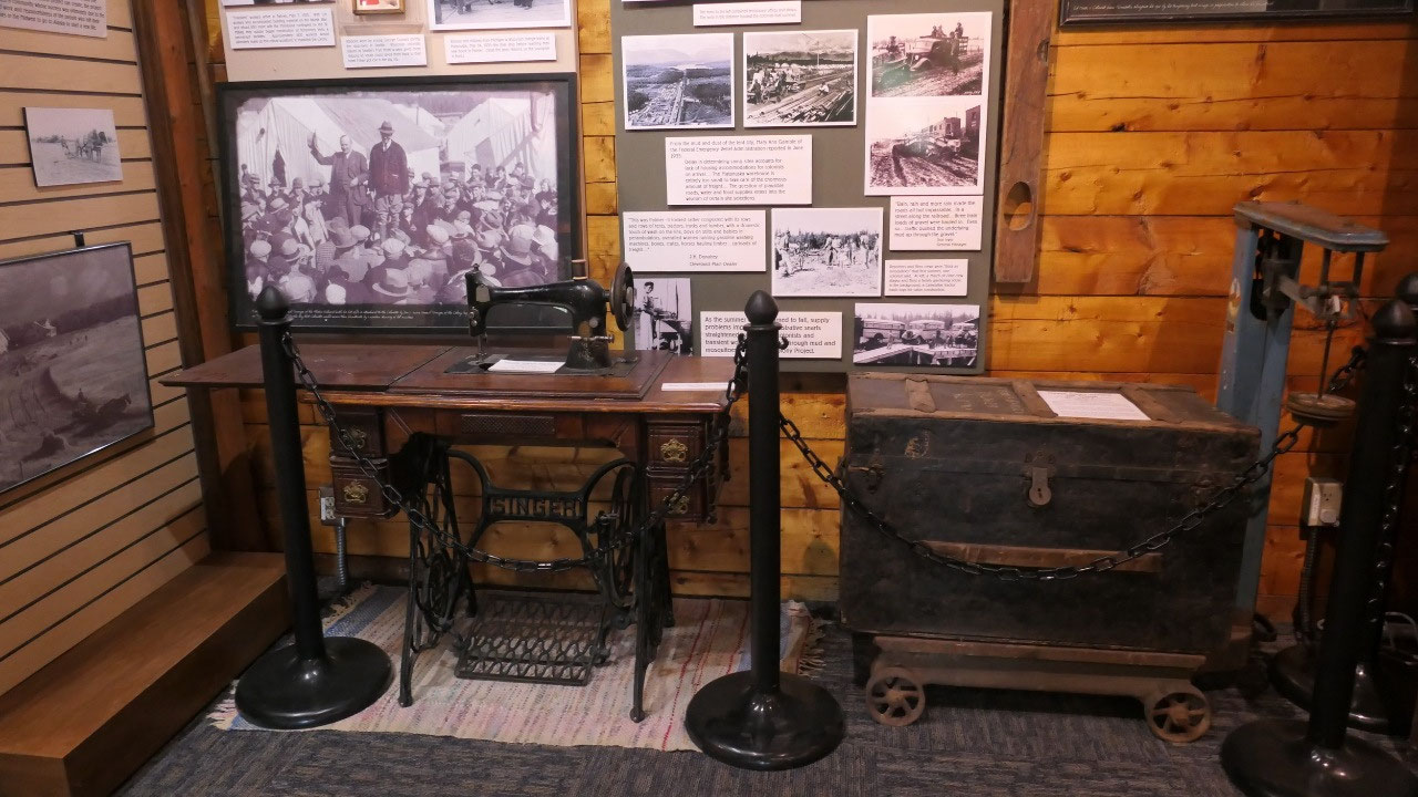
that is what we did, it was actually really cool, first it was for free and
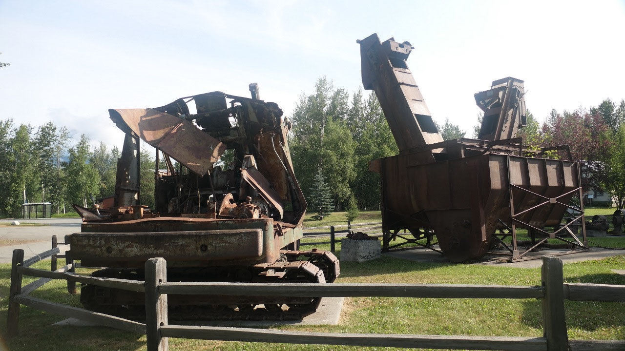
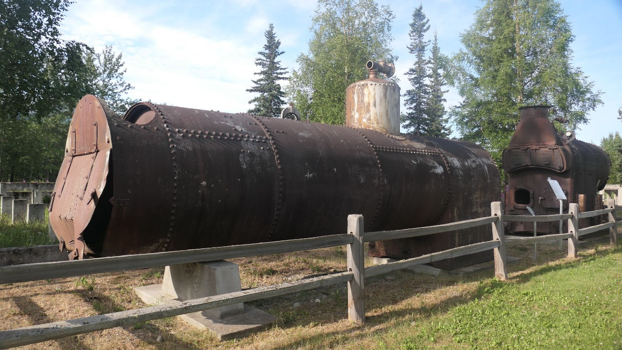
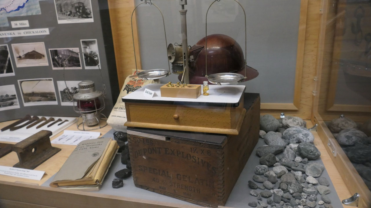
then they had a lot of old machinery from the Coal mine days, as well as the
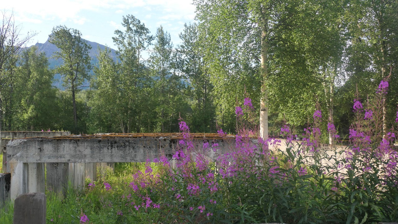
concrete foundation of the coal washing plant from 1921 – and a lot of the
houses were open so we could go inside and read and learn a lot about the
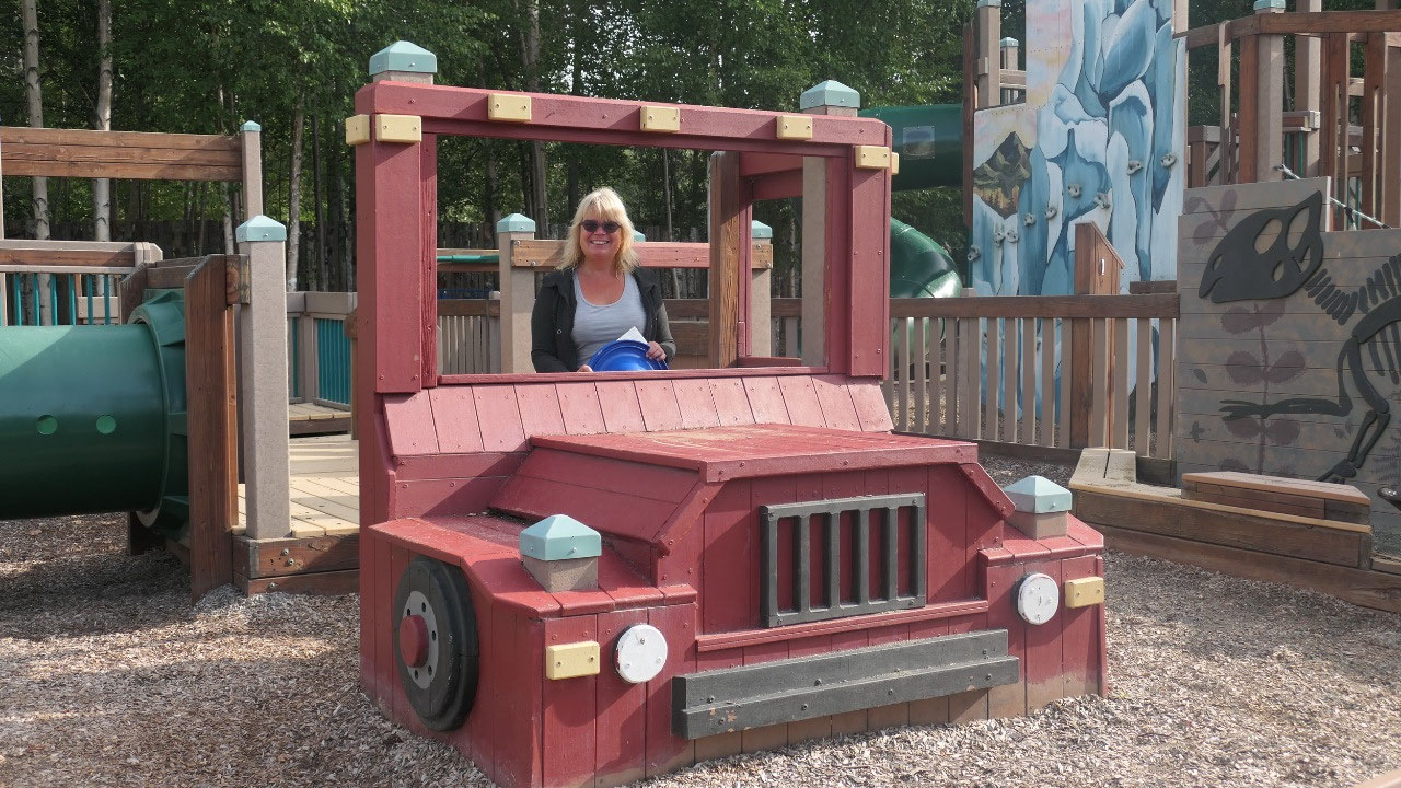
history of the Glenn highway and this little historic village. We did end up at
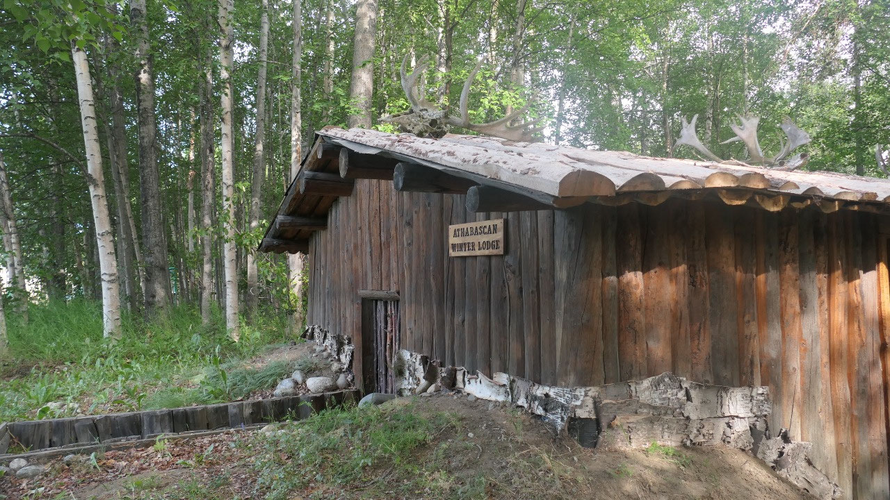
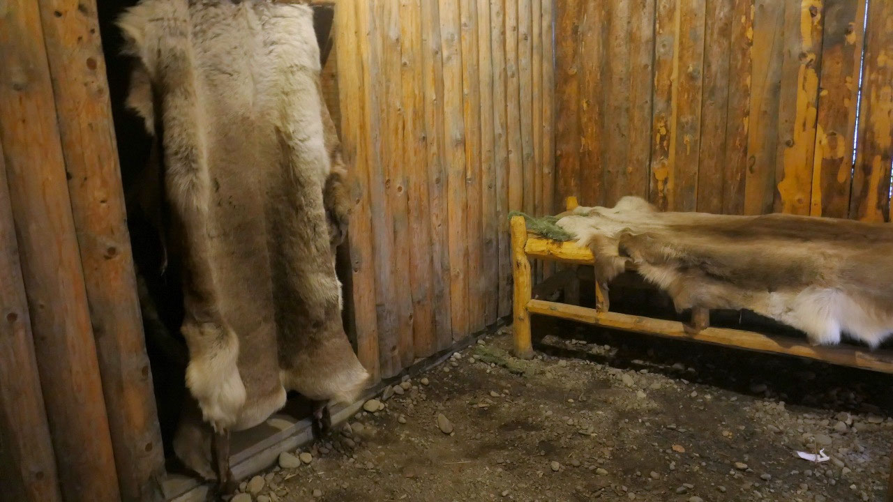
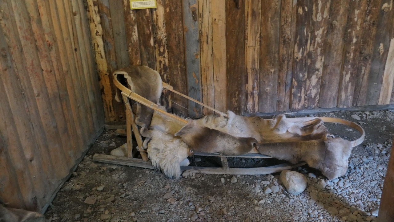
a super cool playground and a “winter lodge” – even I’m not so sure if I wanted
to stay there: winterlodges were built in the forest the people left them in
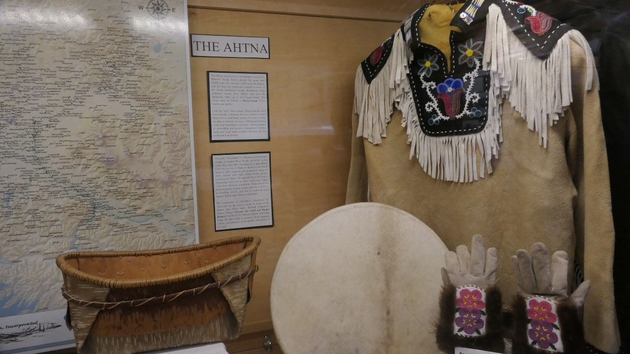
spring to go to their summer fishing camps – it is like the Athna Athabascan
people used to have.
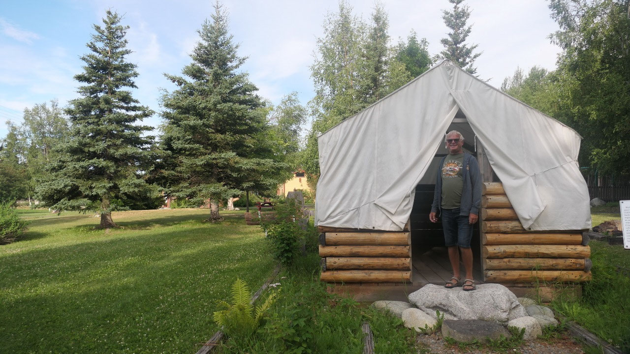
They had an Wall-tent: those are the
tents which sprung up all over Alaska when the Tent-cities started up like
gold-rush towns or Anchorage – it was interesting to walk into one of those –
even I can’t imagine living in one during the winter.
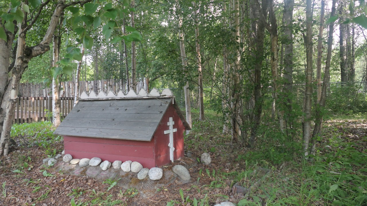
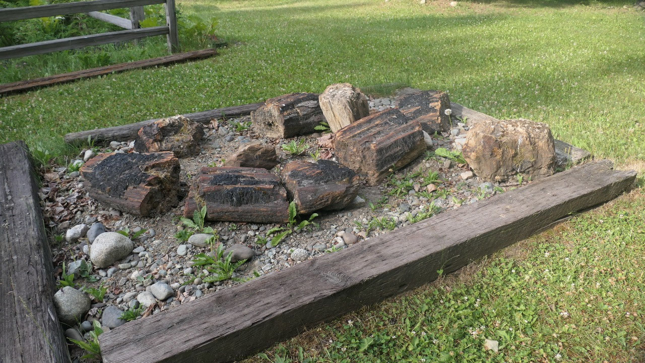
Here we also saw the first spirit
house: a little house above the grave – and some pieces of petrified wood:
which are from a petrified forest in this area.
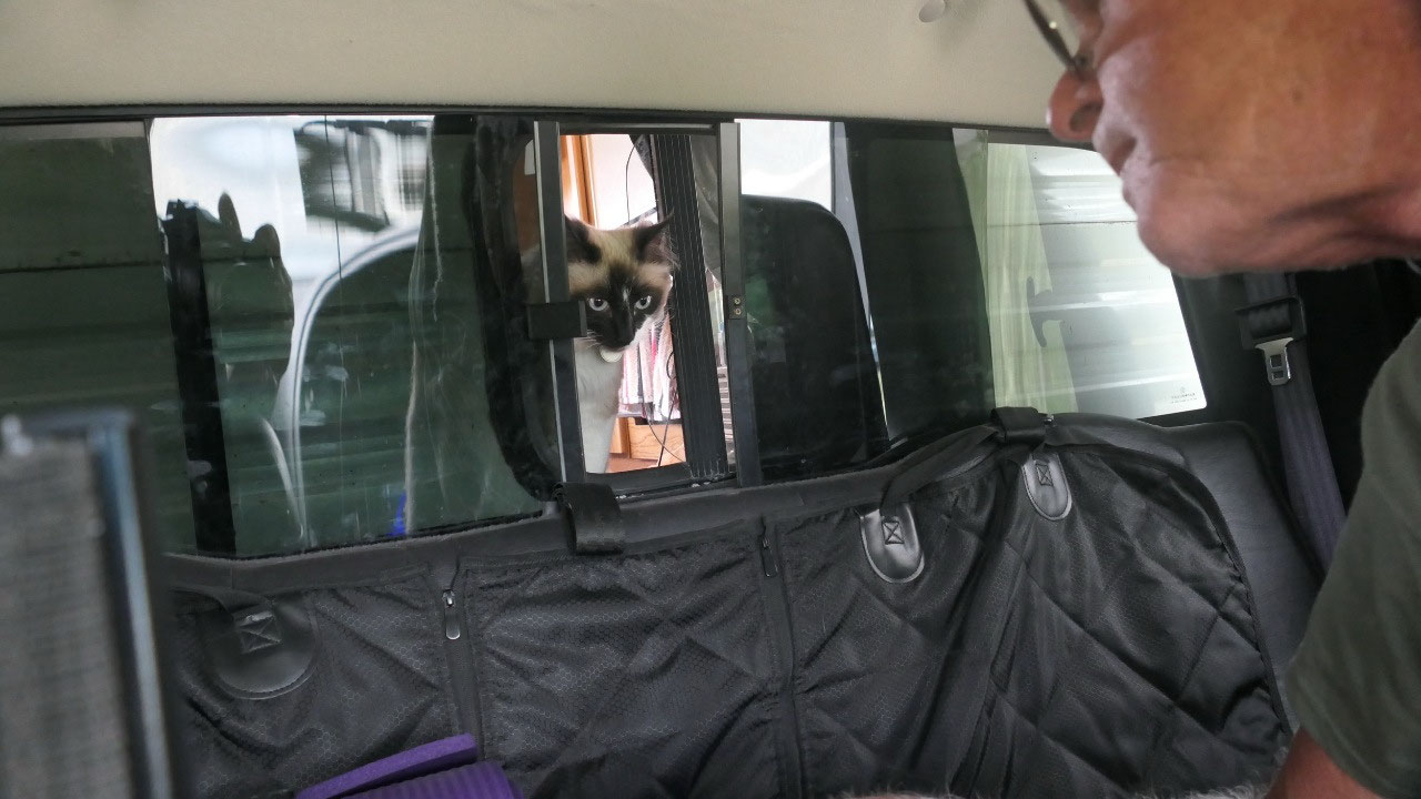
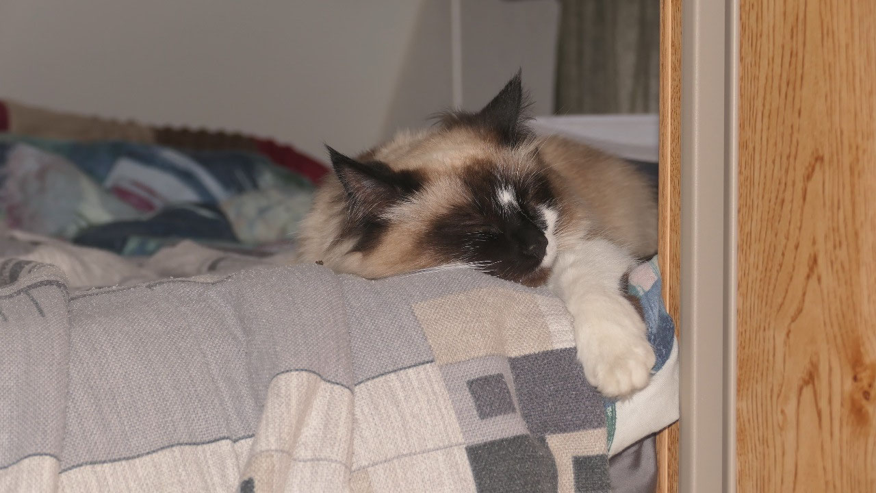
And then we had a problem: as Mandy
went in one of the water pipes and didn’t come out forever – I mean really,
shouldn’t cats listen or at least come when you want to give them a treat!!!!
Guess we have to do some more training!
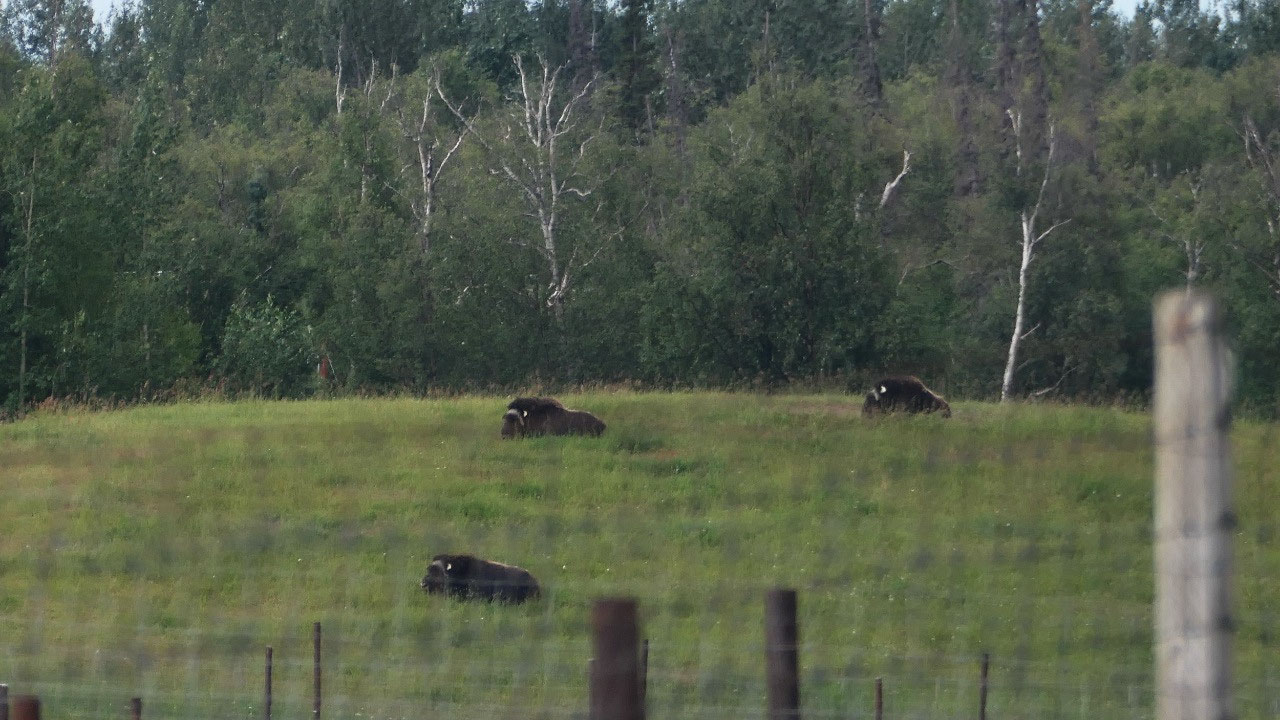
On a side note gine said let’s visit
the Musk Ox farm – when we heard we have to pay 11 $ to have a guided tour to
see the animals we said No!!!
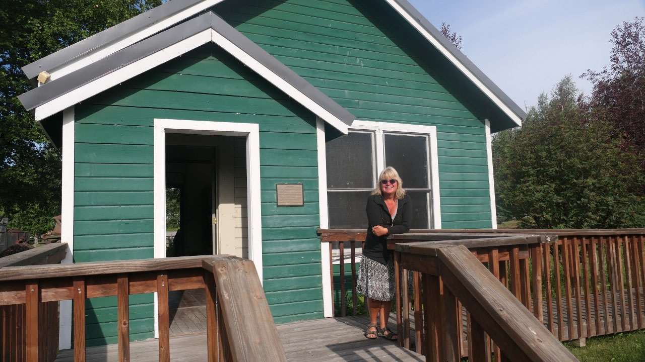
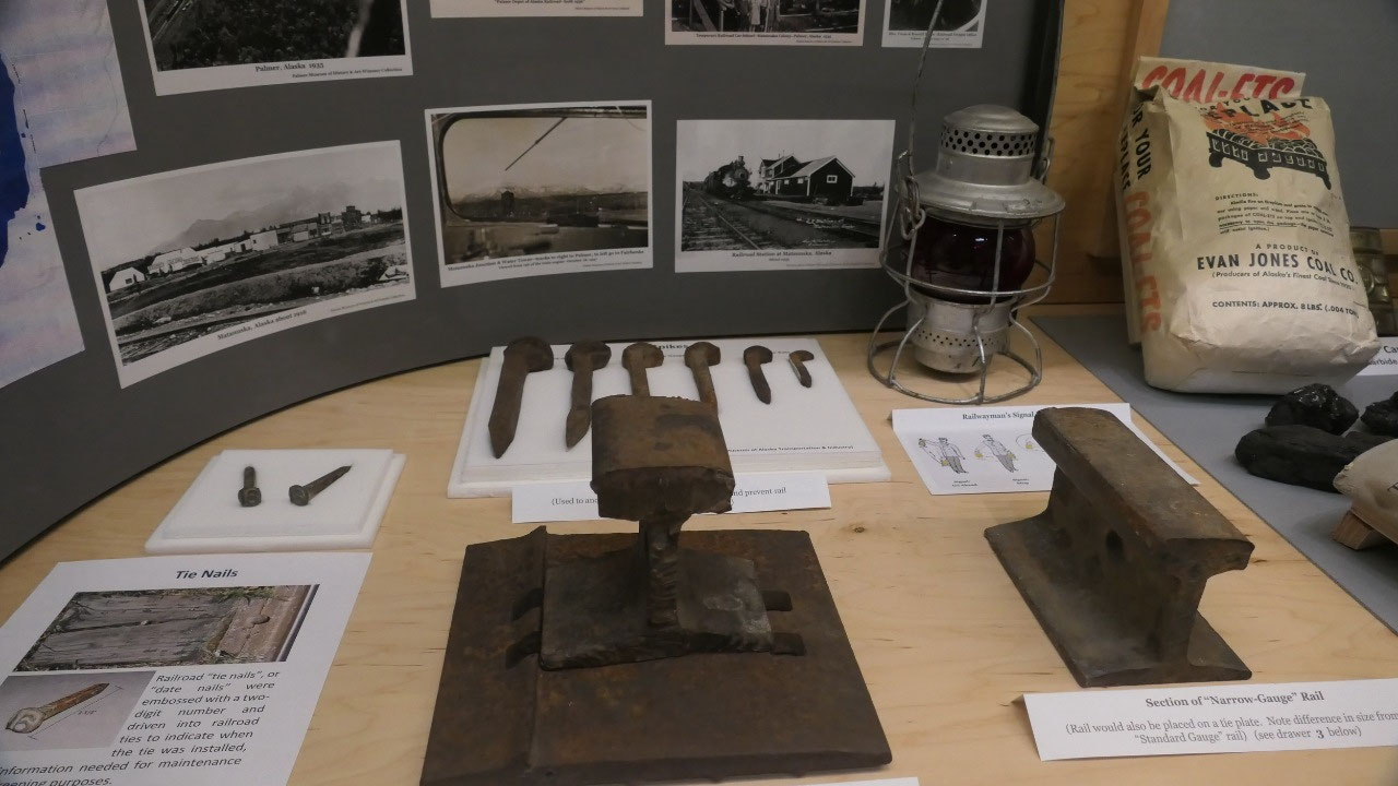
The story of the coal mine town:
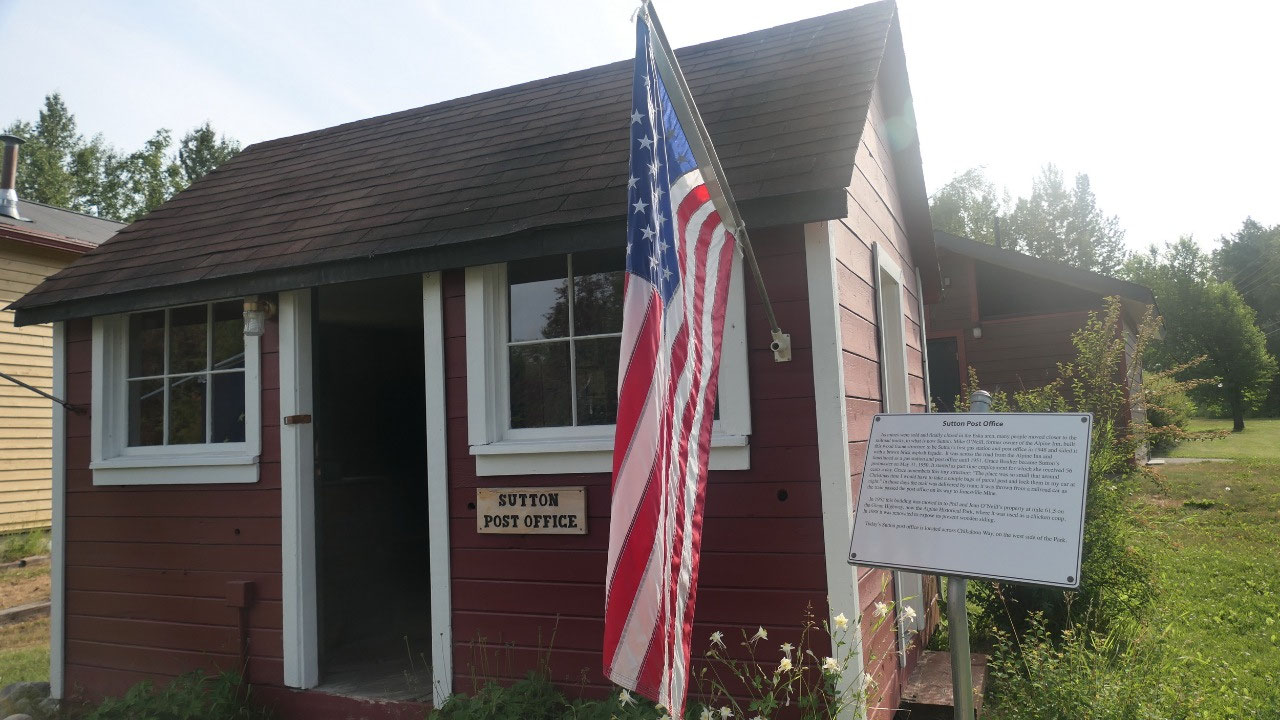
- Sutton has a lot of history from the Athabascan Indian then Russian Fur trading, a big boom of the coal era and then the construction of the Glen Highway we came along
- In the park there is a main street with some historic buildings like the Chickaloon Bunkhouse and the original Post office
- The Athabascan Indian: here lived the Ahtna (who lived inland) and the Tanaina (Dena’ina) whohwere more maritime. During the Russian fur trading the Ahtna were the middle man transporting the pelts to the east. Since the European came the two groups migrated and interrelated
- At the end of the 19th century the white people learned from the natives about the coal deposits, in 1904 the Railroad made the tracks from Seward through Sutton to get supplied by the Matanuska Coal
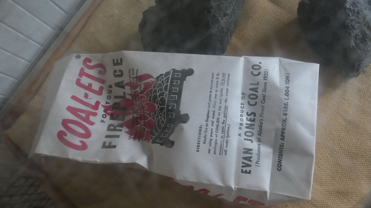
- By 1920 a huge coal mine was approved with a massive coal washery: here the coal got cleaned (I didn’t even know that you wash coal with water – it’s like a huge washing machine – when the water is moved the coal goes to the top and the stones to the bottom), by 1925 the Navy determined that the coal was deficient and it became an instant ghost town. The private owned Jones Mine was still running until 1968. Most of the equipment got dismantled in the 1930s
- the green bunkhouse was used by the railroad workers and when they build the Glenn Highway, 8-10 men would live in one of them, they still had a calendar from 1950 hanging
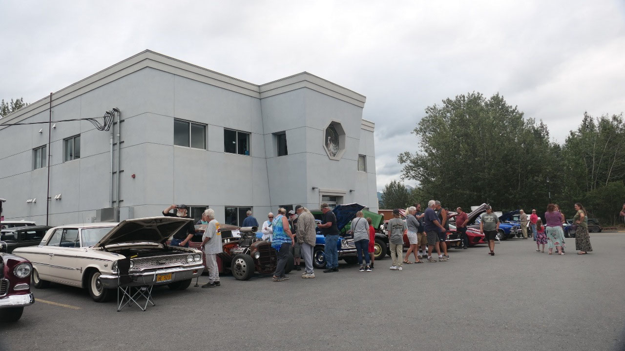
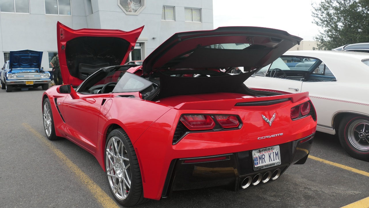
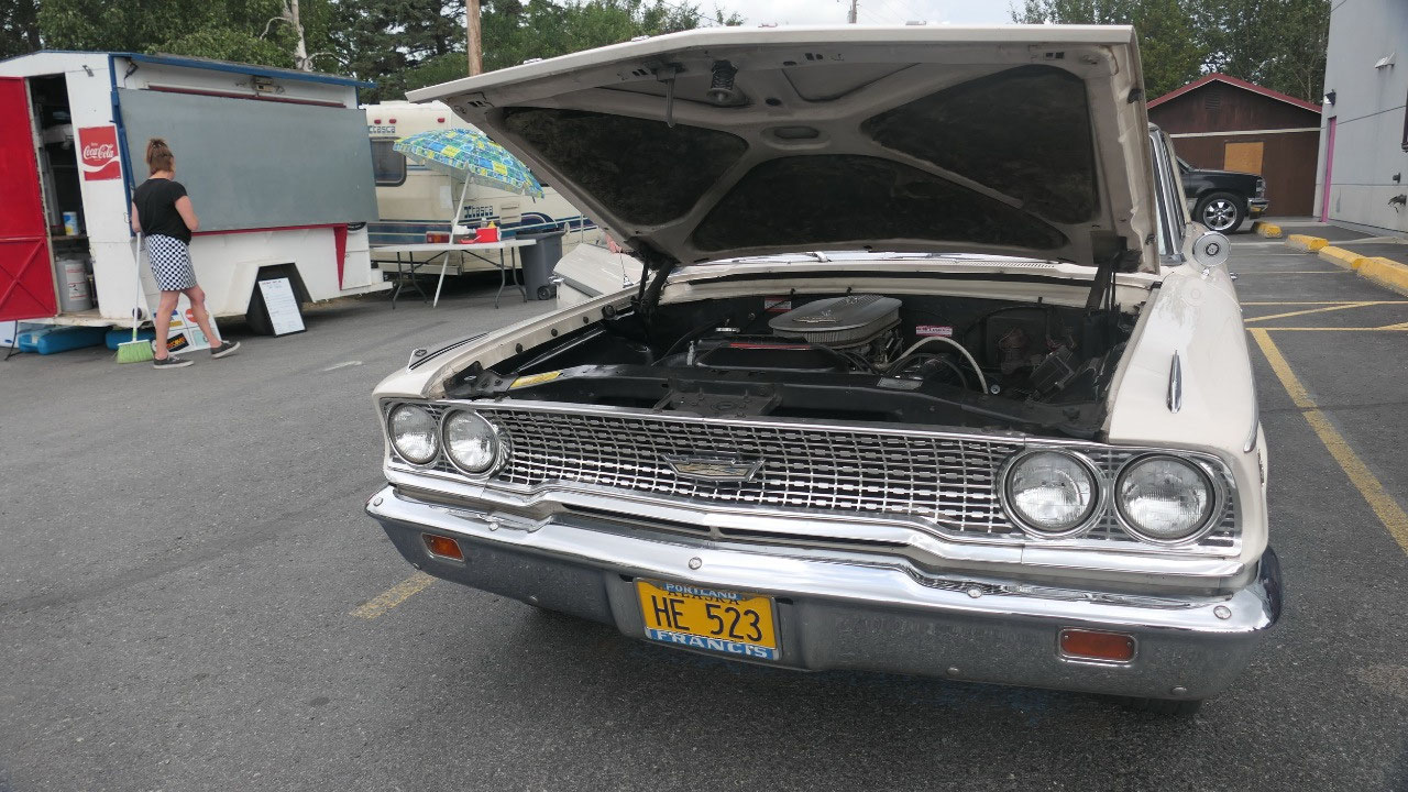
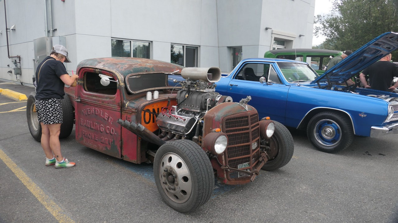
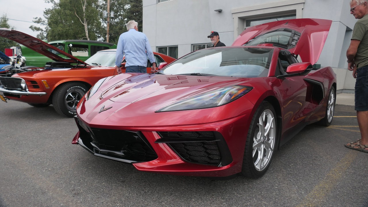
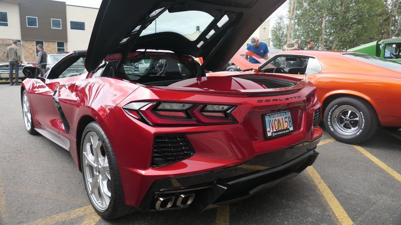
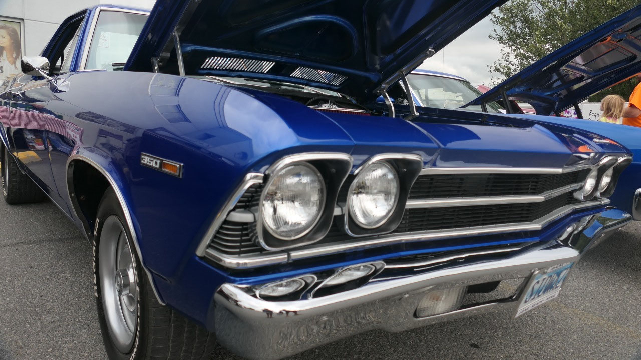
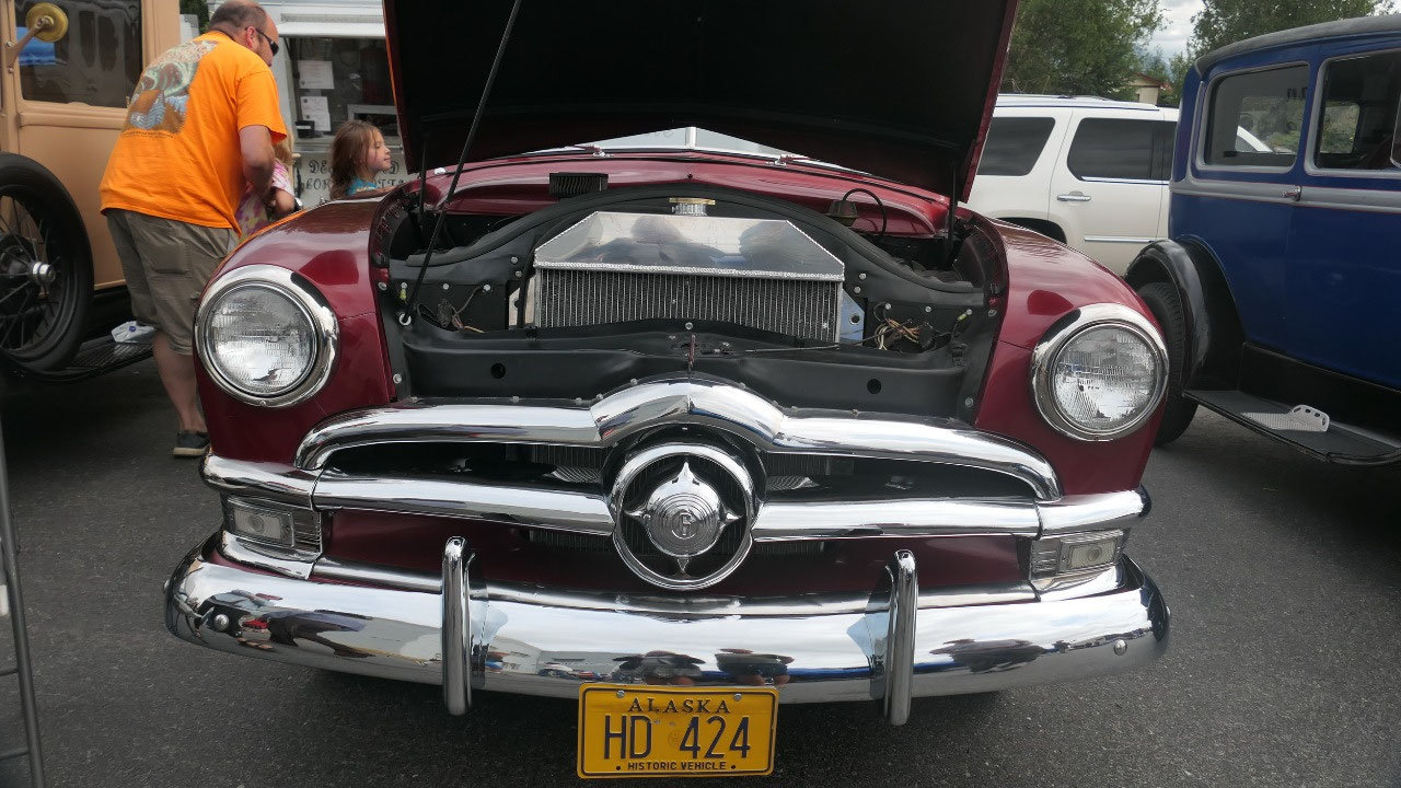
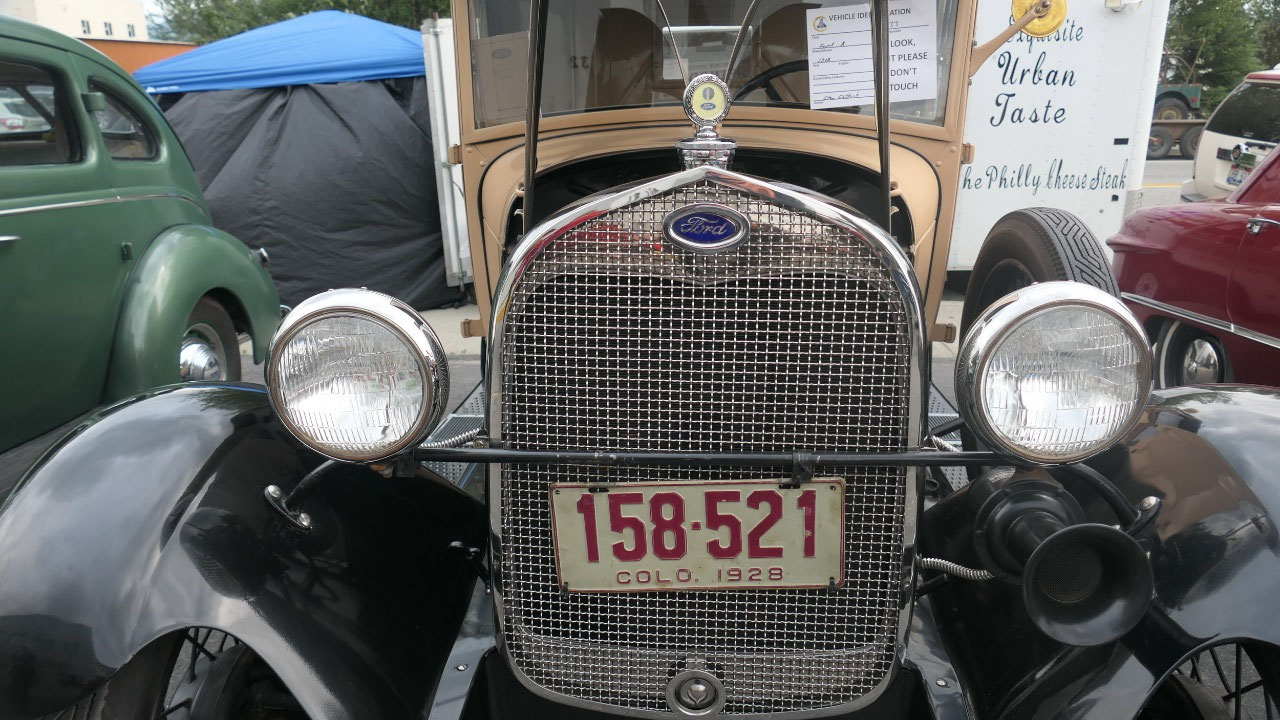
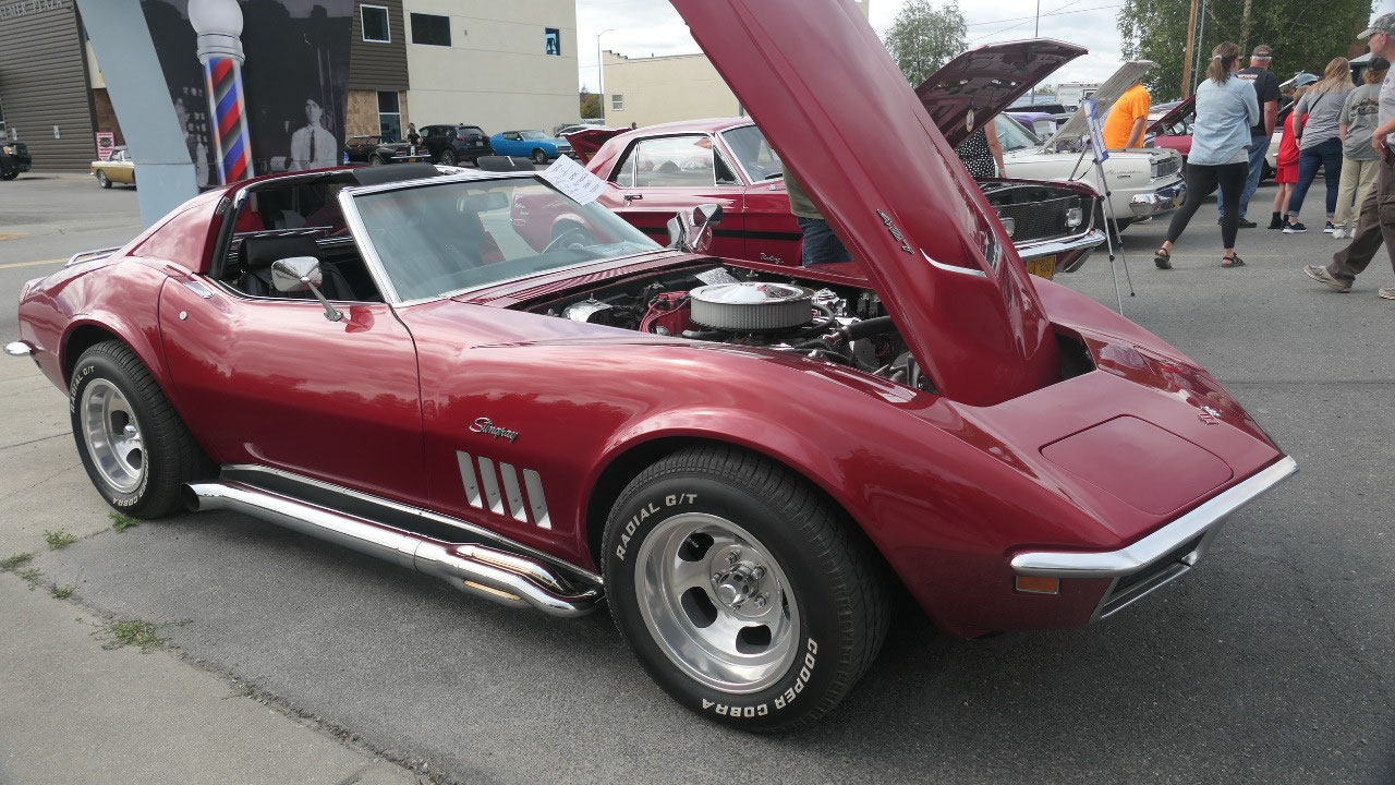
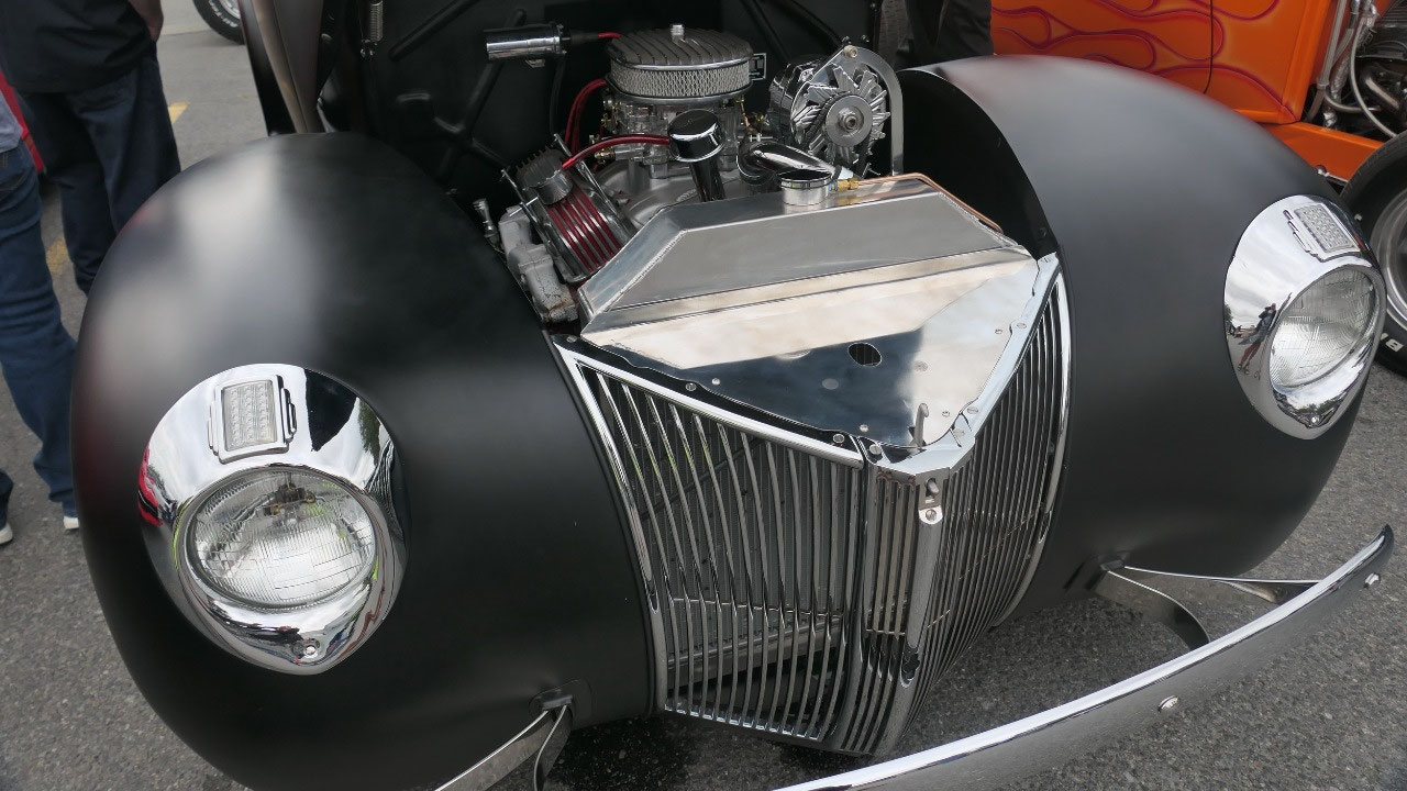
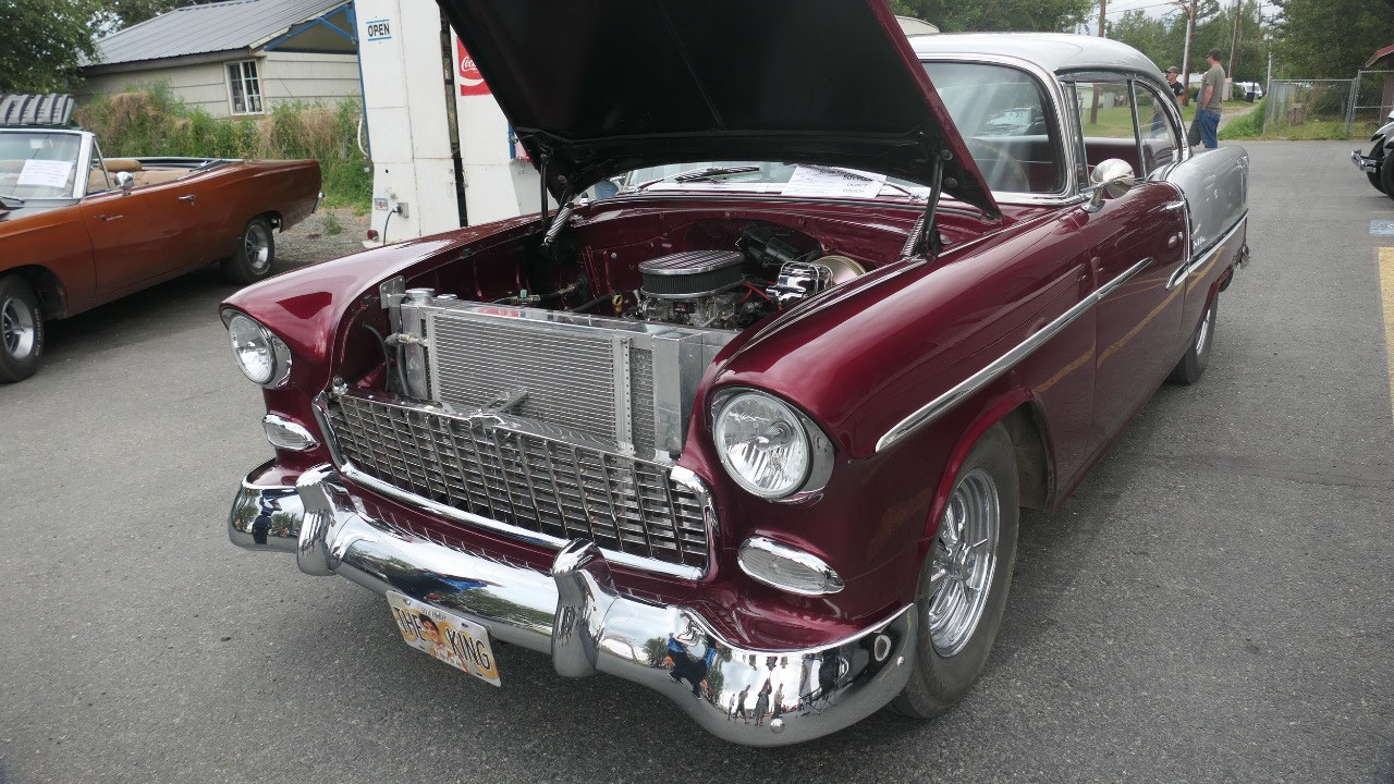
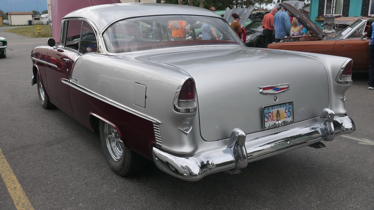
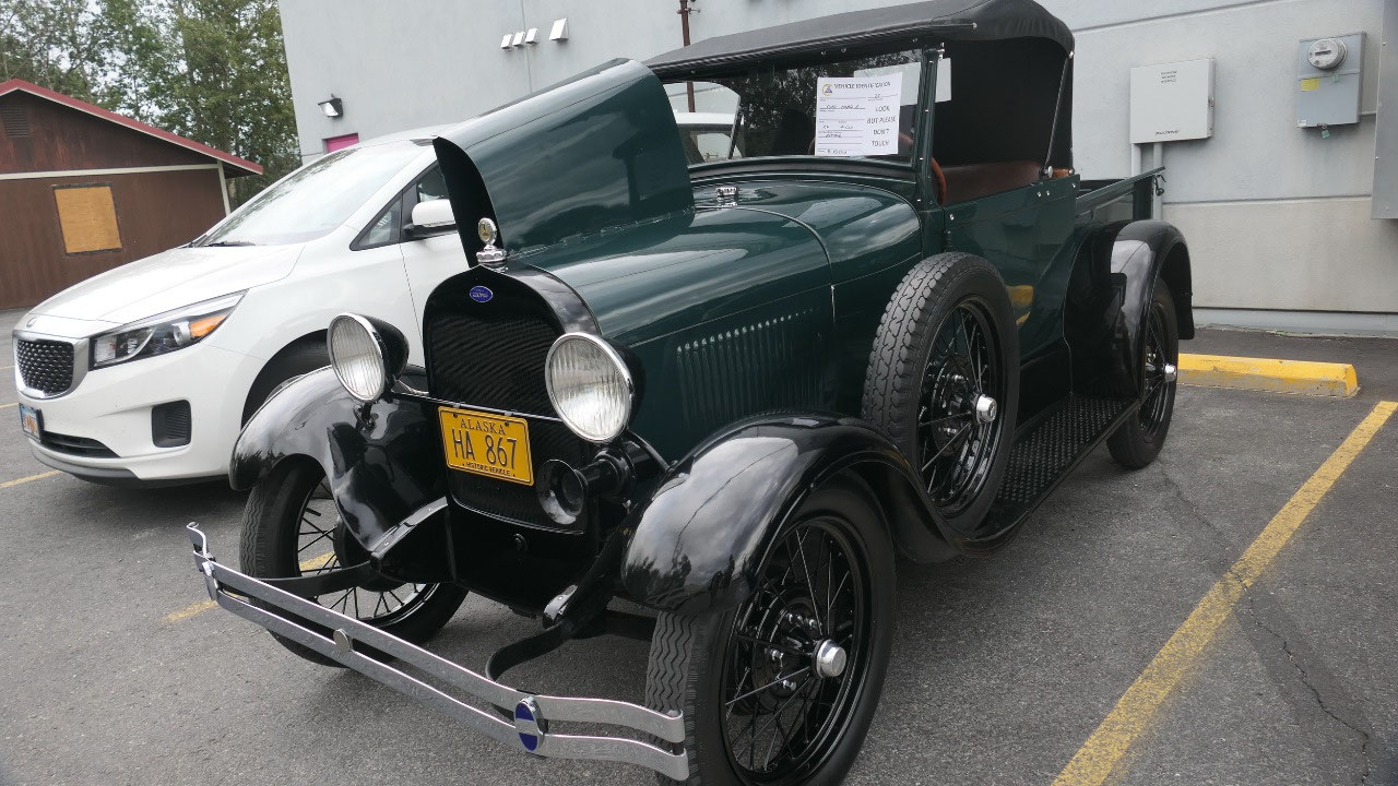
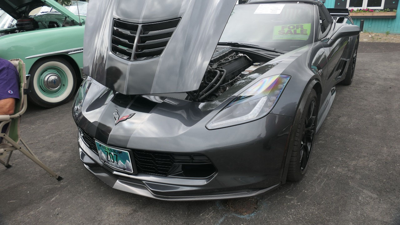
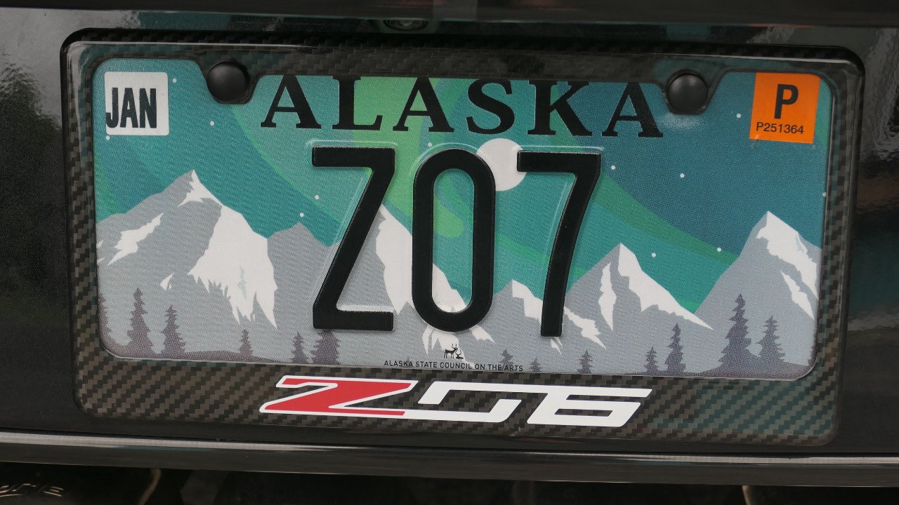
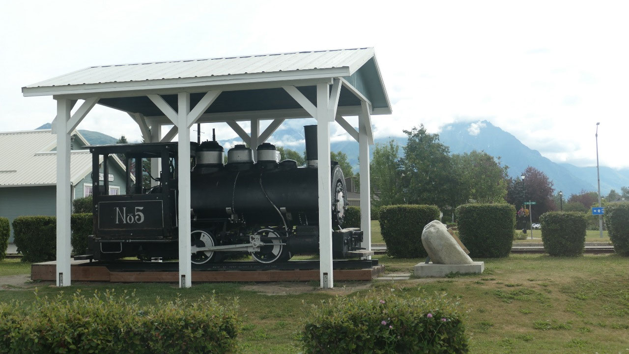
Corvette Lovers in Palmer
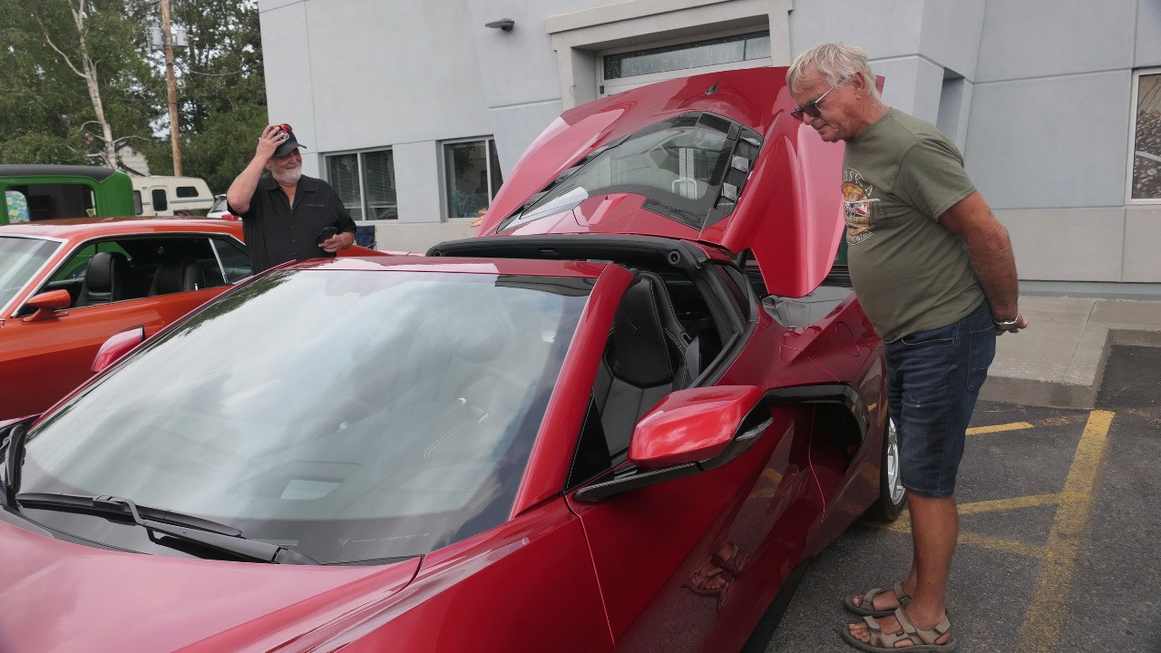
Gine told Paul about the super
historic city of Palmer, only google map is not the best and the map was that
we couldn’t really figure out where we were, as we are lost, we saw a bunch of
old cars – guess there is a car show, sure we stopped and had to check it out,
we met there a super nice couple and talked with them forever, they live here
in Palmer and bought a new Corvette and picked it up in Bowling Green. It was a
super car and they are real car lovers as they also brought an old mustang to
the show. Yes we had a lot of fun there and looked also at the other cars… now
Paul had his highlight of the day.
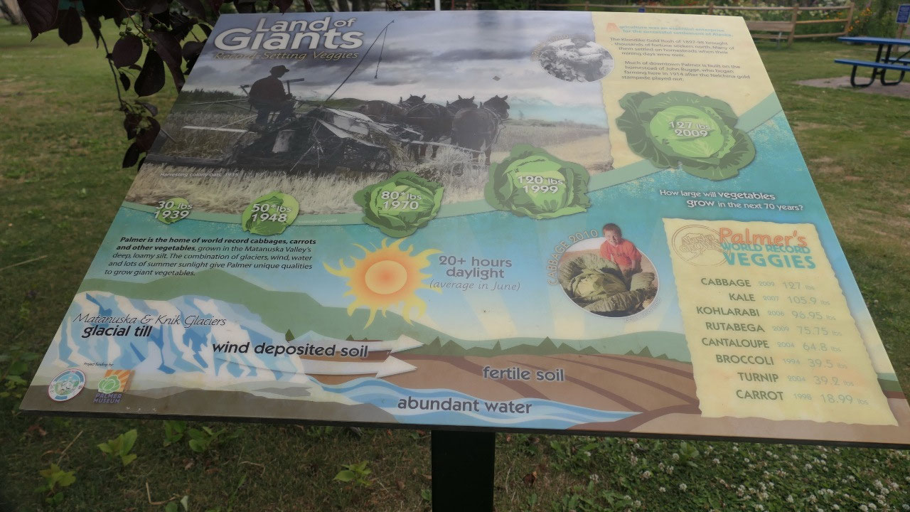
The valuable Visitor info
And then by accident Gine discovered
on how the map is upside down and we found the visitor info – a few quick
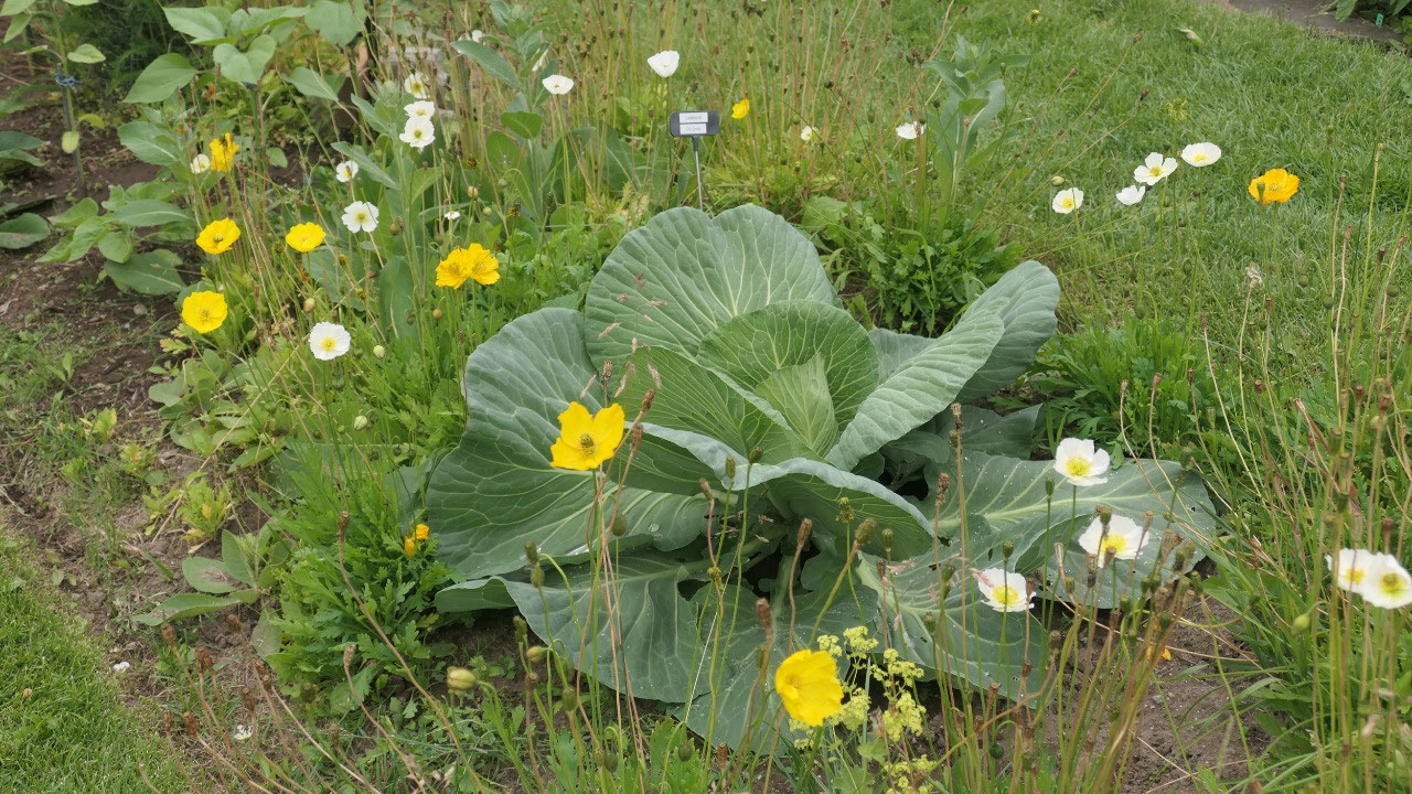
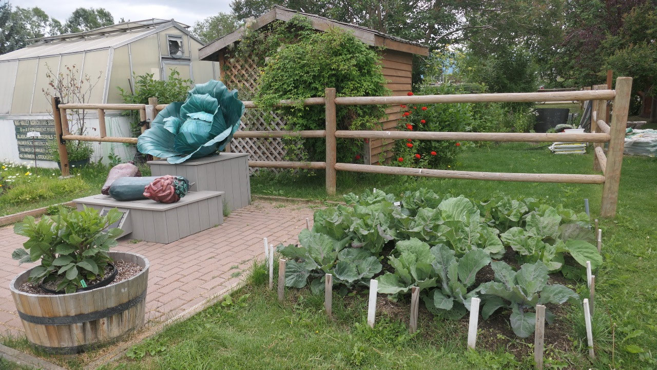
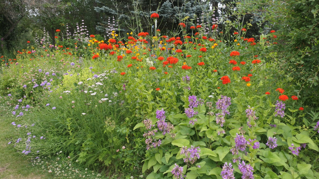
checks and then we now what we all want to see. Here is also the little garden
with the giant Veggies!!! Yes they have here records they break – likely
because there is so much sunlight in a day in the summer which is great for
root crops and leafy crops.
But what was the best, Paul could go
on the Internet and figure out how you can restart the phone and it works
again!!!! We are so happy as we already assumed the worst.
- They have here giant world record vegetables: they grow cabbages with over 100 pounds – the biggest had 138.2 pounds – but then they have20 hours of sunlight in summer: they had the record veggies as replicas there so you could actually look at them
- Palmer is the agricultural hub of Alaska best for cold weather crops: like potatoes, carrots, rutabaga, lettuce, kale, cabbage, broccoli, peas
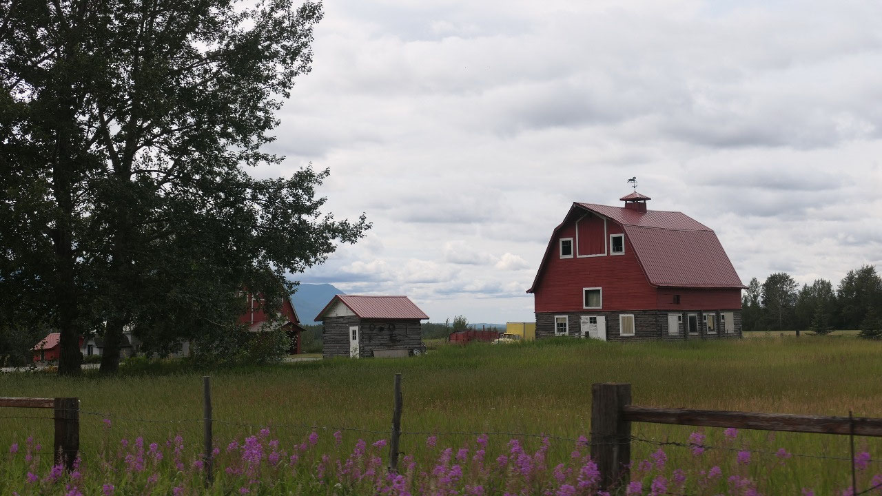
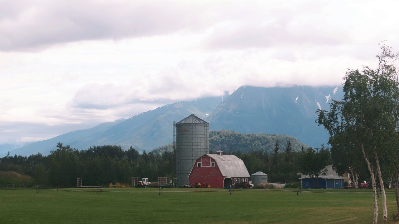
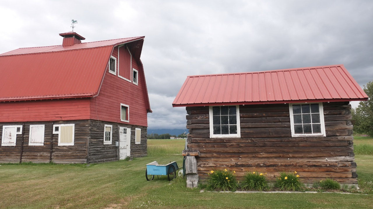
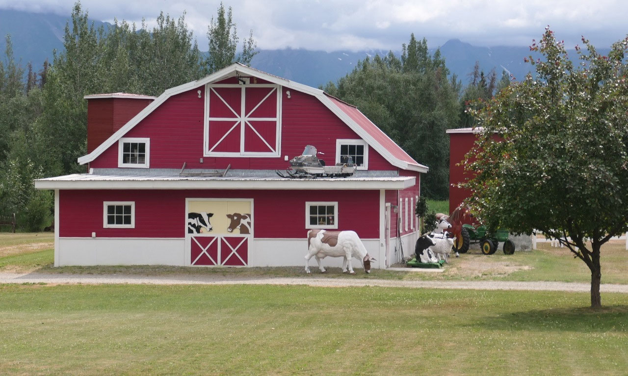
The old Barns in Palmer
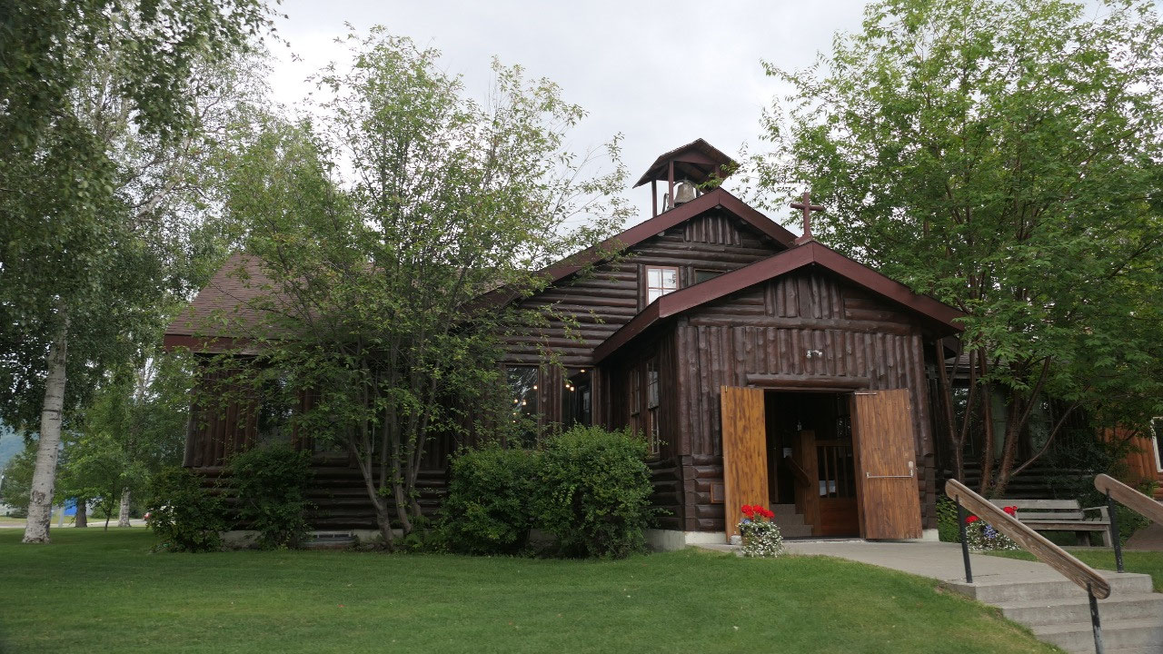
Ok so let’s check out some of the
historic sites: first we drove by the Church of the 1000 trees, as we were already late we didn’t stop to
check it out closer, but it is a super huge loghouse church which I think looks
super amazing.
Then we went and drove around so we
could come by some of the old red barns, which are super cute and nice – Paul
said I don’t have to look at those barns, we have them at home – as where Gine
said but the history is so unique. After seeing a few of them we headed on.
Why do they have the red barns in
Palmer??
- Once the US purchased Alaska in 1867 American traders took over from the Russians and more arrived – one of the pioneers was Geroge Palmer who was a prominent trader around Cook Inlet and established a small unmanned rrading post near the Matanuska river
- During the great Depression the government had a program to relocate families to the valley: 203 young families were selected : and the town was founded then in 1935 with the “Matanuska Colony Project”
- The Families came from Minnesota, Michigan and Wisconsin to form Alaska’s first and only farming colongy
- Each family got 40 acres of land, a new house, a barn, animals and equipment to support a farm family as well as generous government support and long-term financial help
- The government also
- built a community center with a store, school railroad depot – this became the foundation of Palmer
- It was planned in Washington DC in late 1934, the families had little time to prepare their move, they arrived by train in Palmer in May 1935, then the family’s farms location was determined by lottery. The construction was behind and everyone lived in tents while the houses were built, land was cleared. But by Thanksgiving the same year every family moved into their house
- As it takes time and challenge on top of it the government had heavy-handed rules which affected farm production and prices. They tried to control spending by issuing the monthly family allowance in a unique coiage called Bingles which could only be traded in the Colony store
- By 1940 the government gave up the management of the colony activities and facilities – now new roads were built to connect the farms and improve transportation, the telephone came and in 1941 electrcitiy came.


2025-05-22