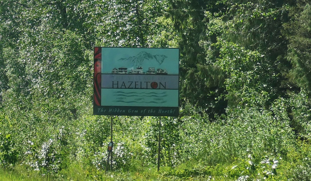
 Hazelton, British Columbia, Canada
Hazelton
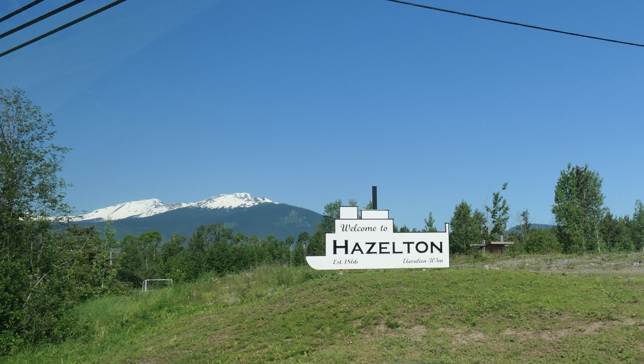
Onto Beautiful Hazelton
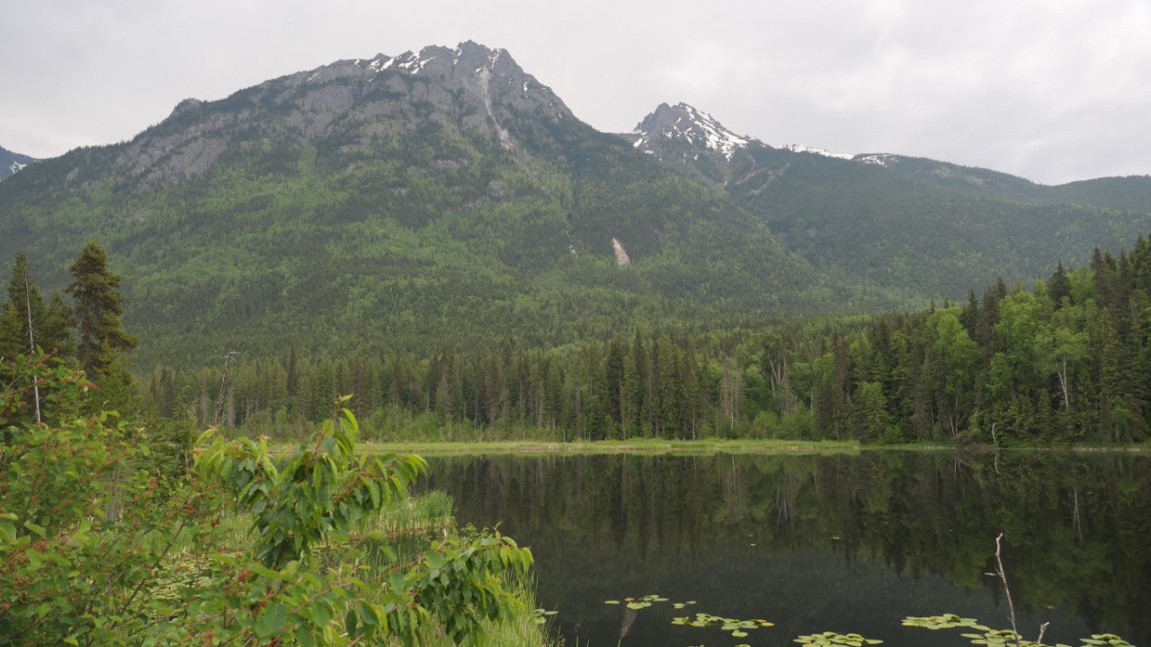
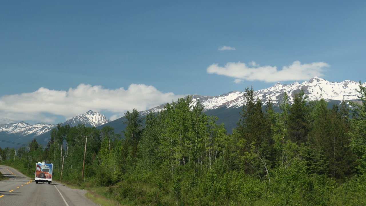
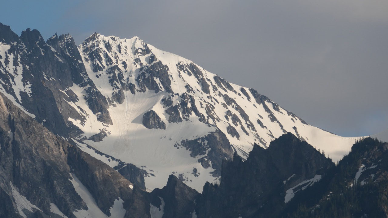
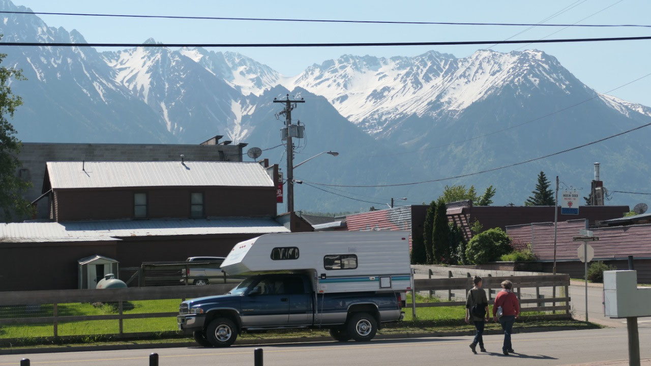
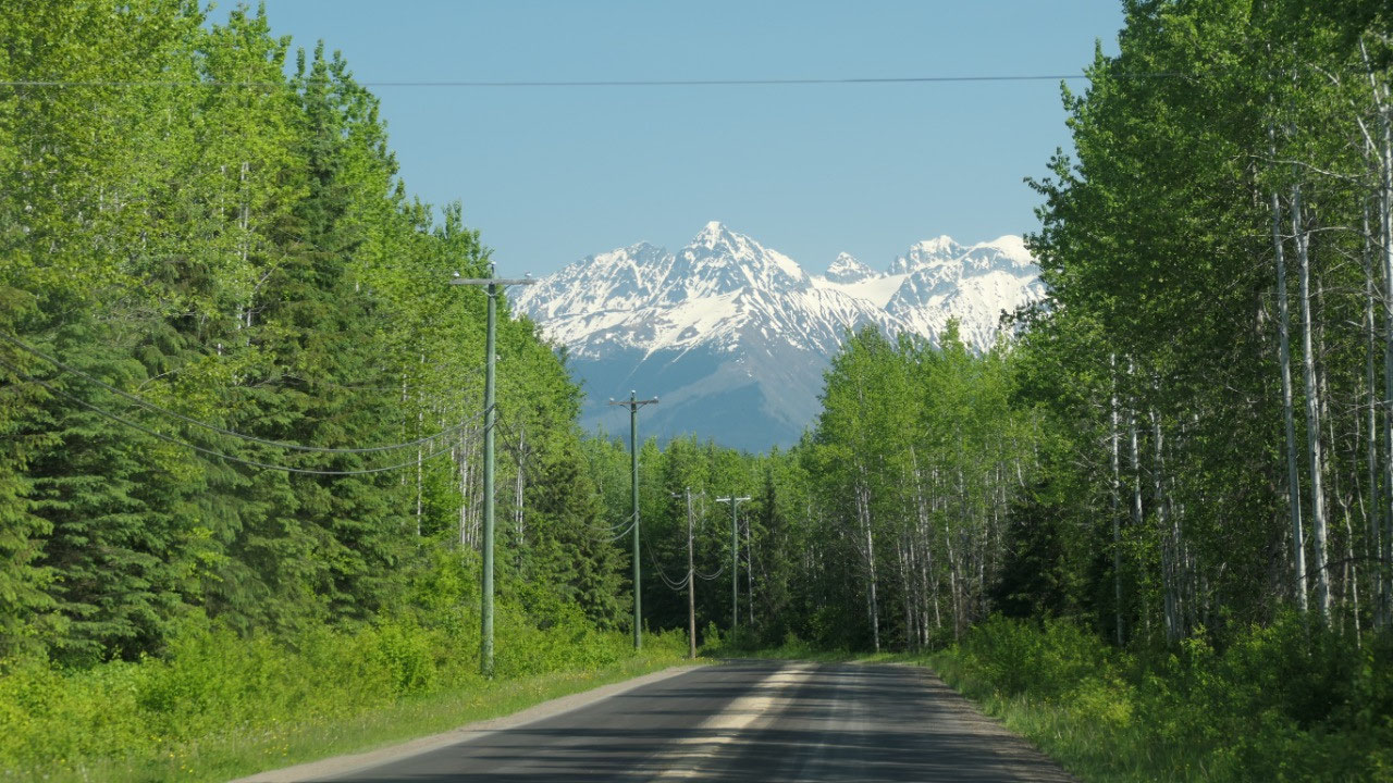
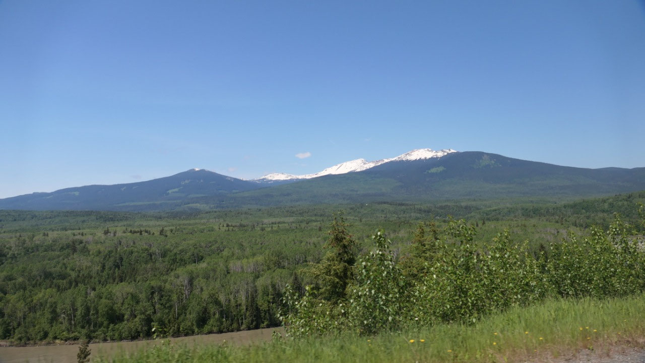
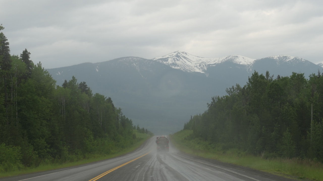
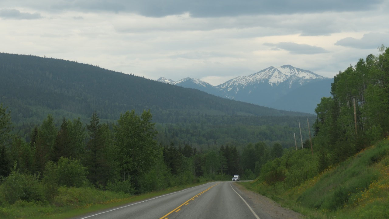
As we head further west towards
Hazelton we see those beautiful snowcapped mountains – soon we didn’t even know
in which direction to look because they are everywhere. We really love this
drive.
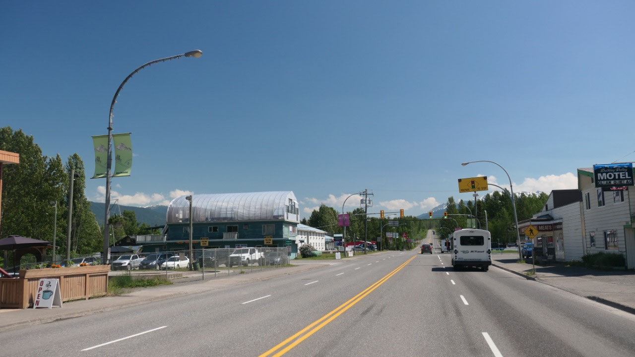
Once in New Hazelton we drove to the
Bakery we heard about – but they are already closed and there we also
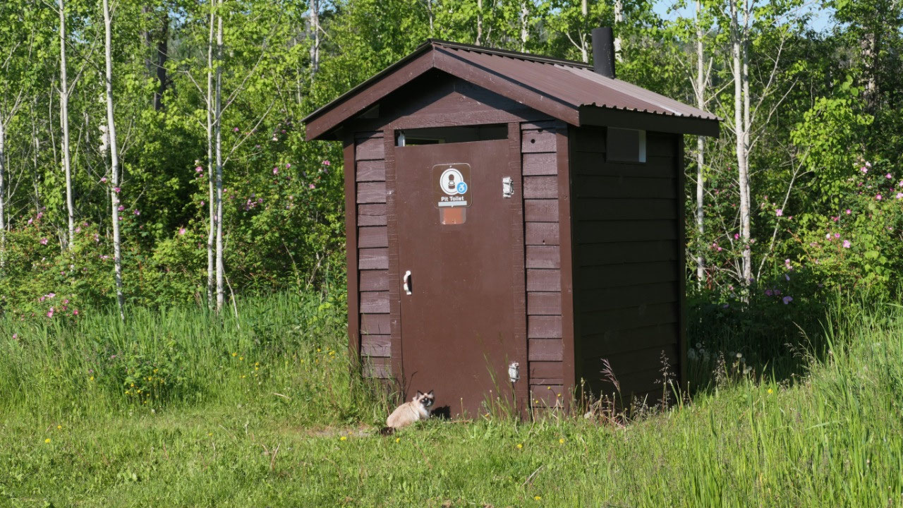
discovered that the laundromat is right next door: good – now we are set for
tomorrow đŸ˜Š
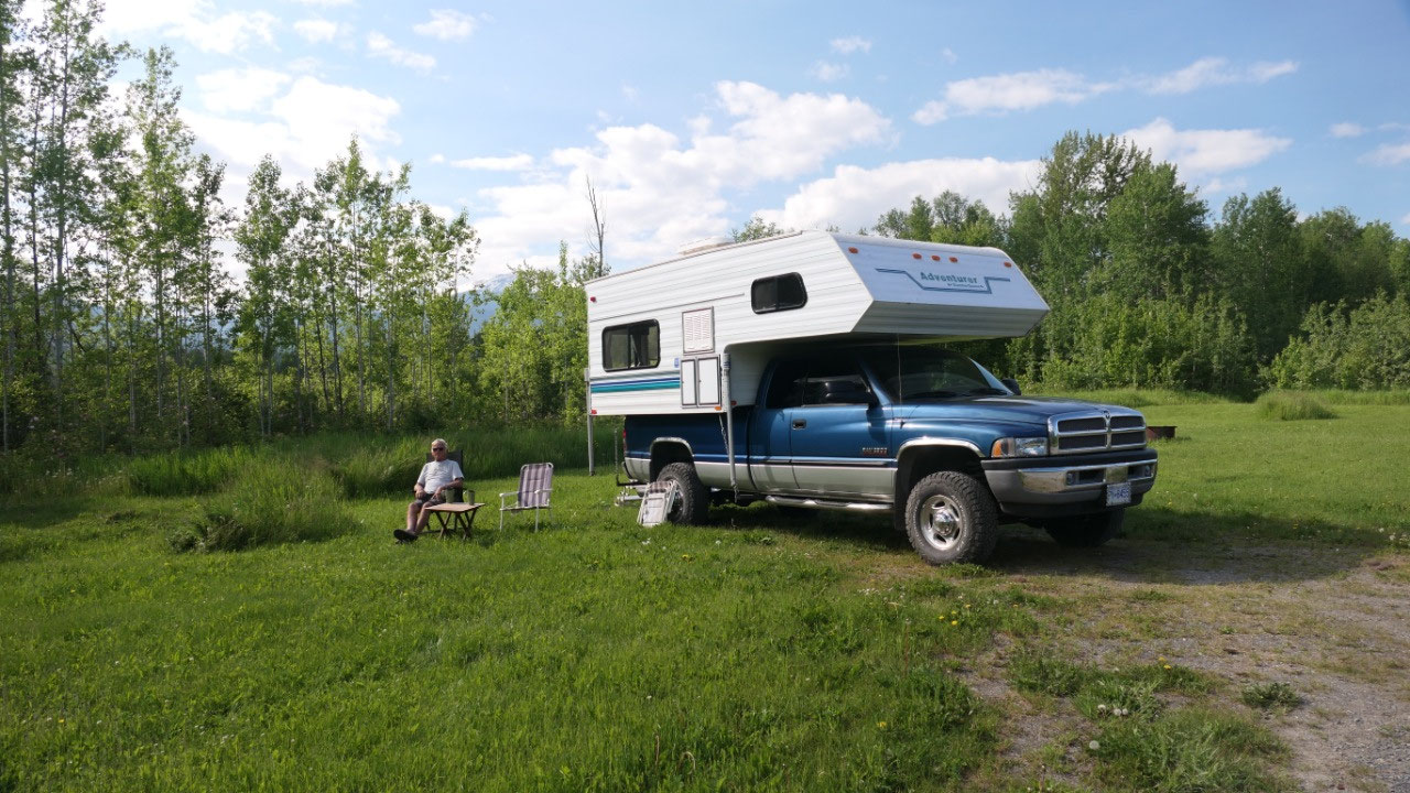
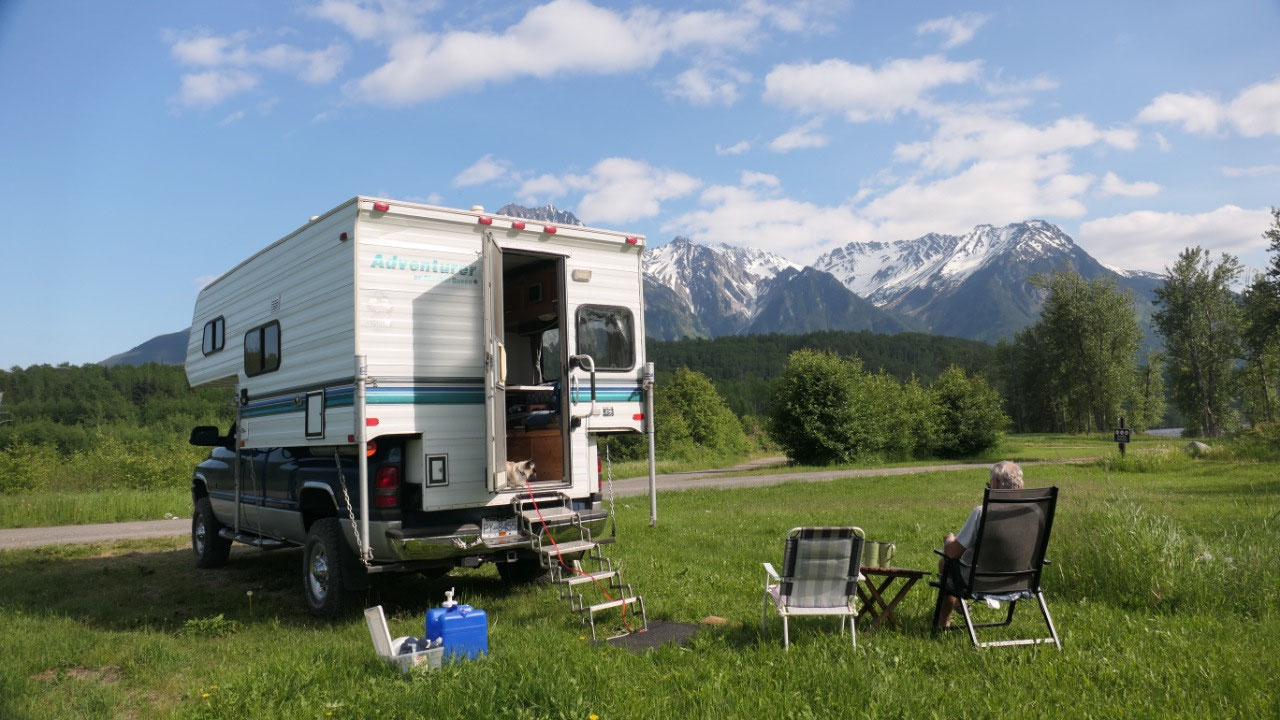
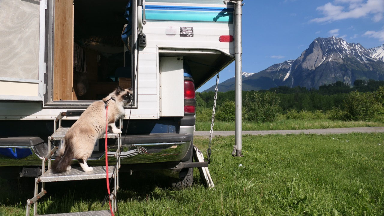
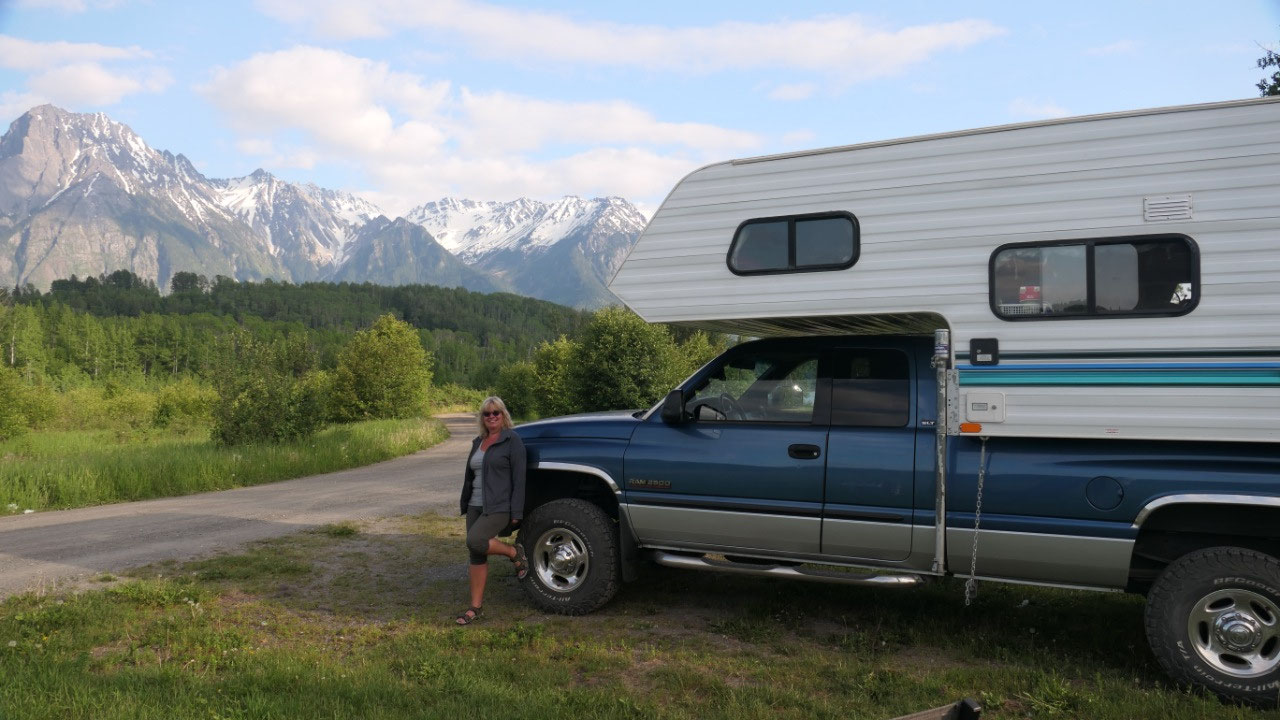
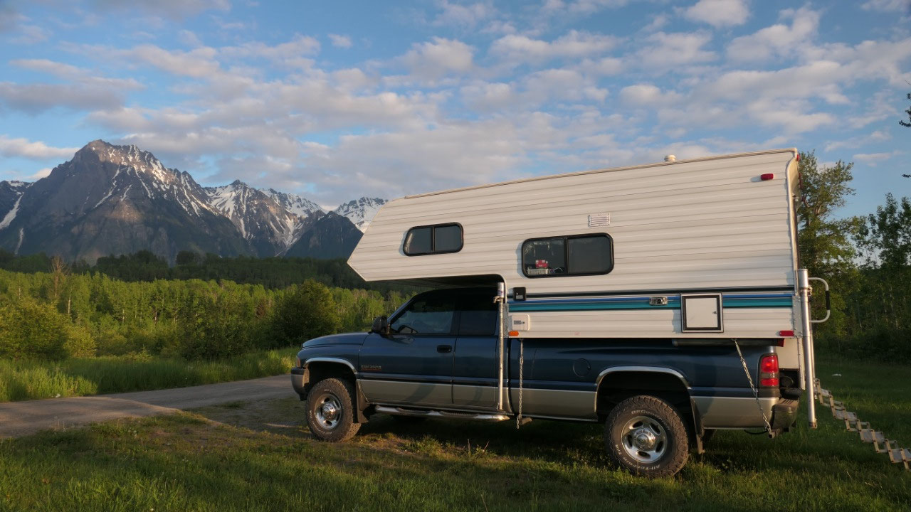
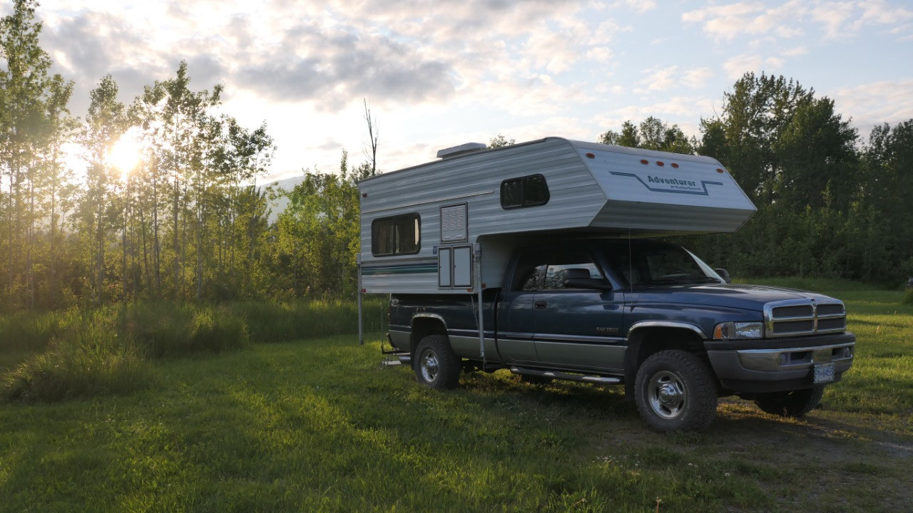
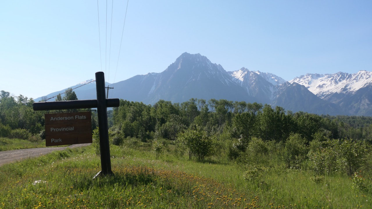
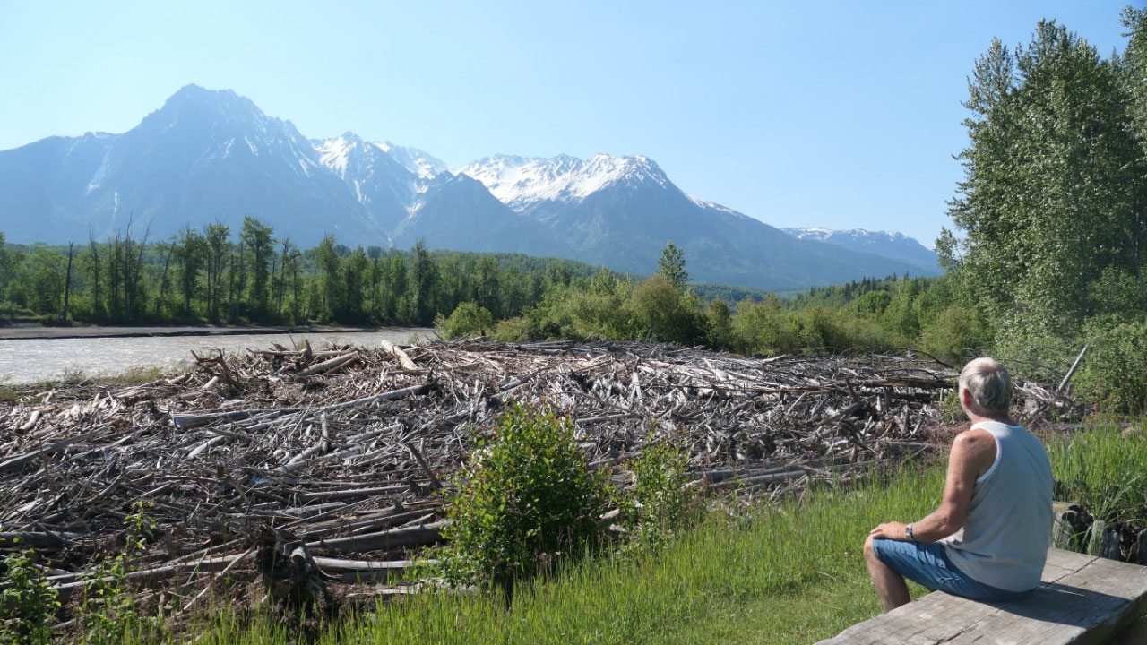
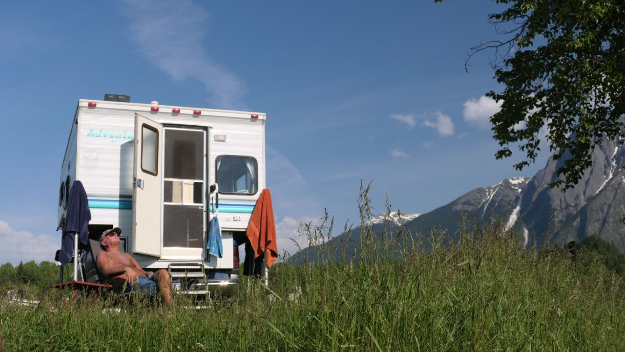
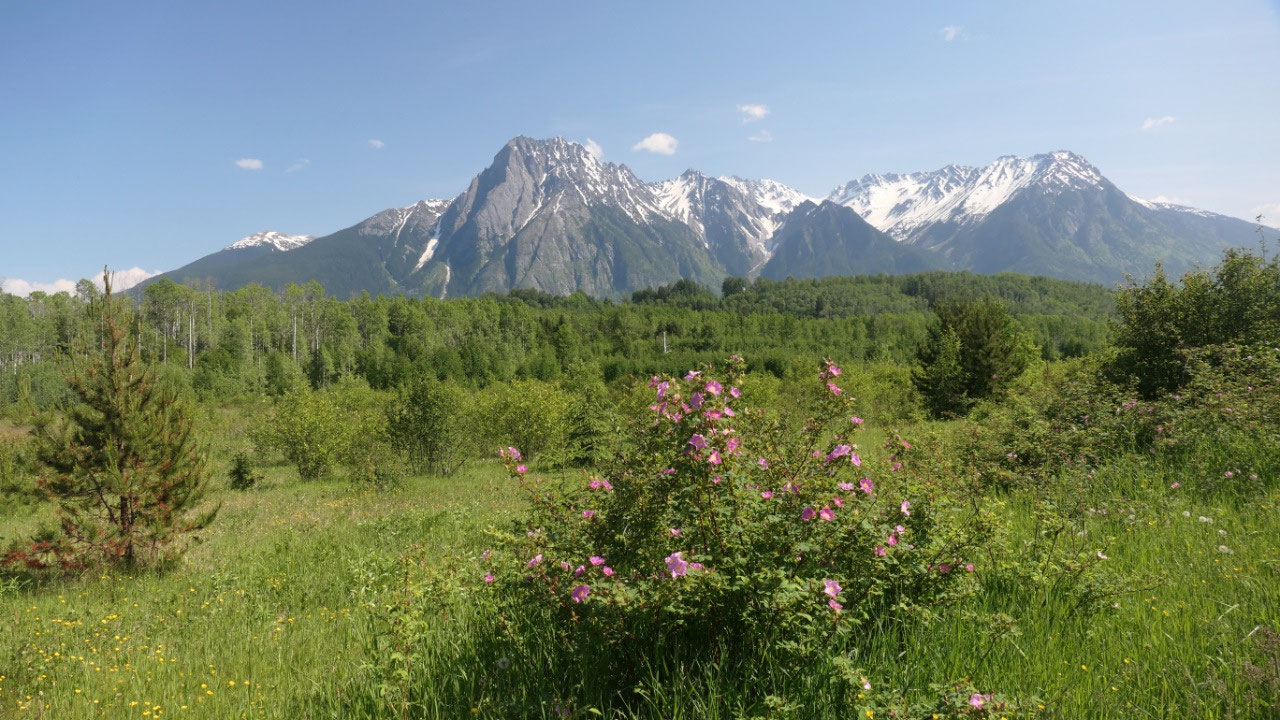
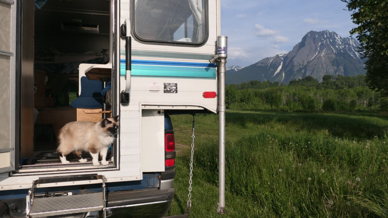
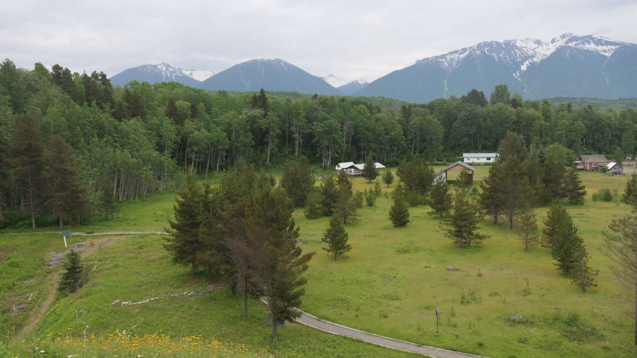
Anderson Flat PP
Originally when Gine planned on where
to camp she said Seeley Lake – I mean everyone wants to camp on a nice lake.
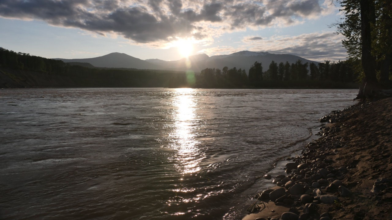
But then she read about the Anderson Flat PP where you can camp for free right
on the river super open with amazing mountain views and that is where we were
heading. Actually there are no signs for a PP so let’s hope google map is
correct and see there after we headed the gravelroad down there is this PP-Sign
and along in the flats we drive and see the open green grass area – at the very
end is the access to the River with an RV. We stop and look around talk to the
couple from Switzerland who is travelling for 6 months across Canada and
Alaska. It is so gorgeous we sit down in our chairs and can only look up at the
mountains – it is so beautiful.
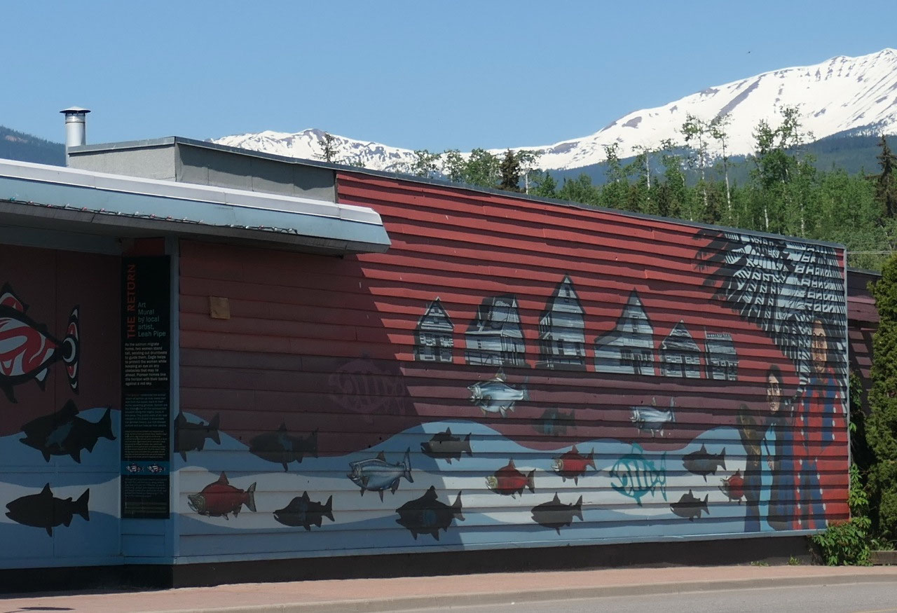
- By the way: Skeena means “river of the Mist”
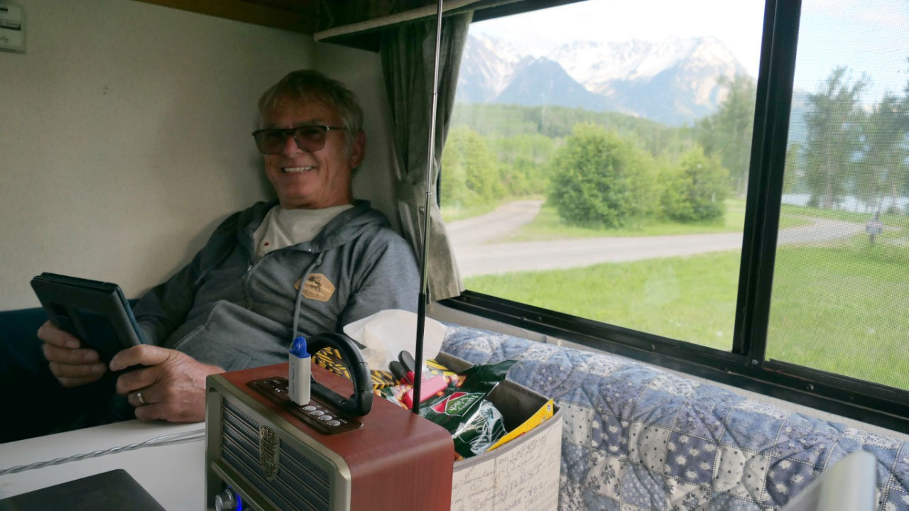
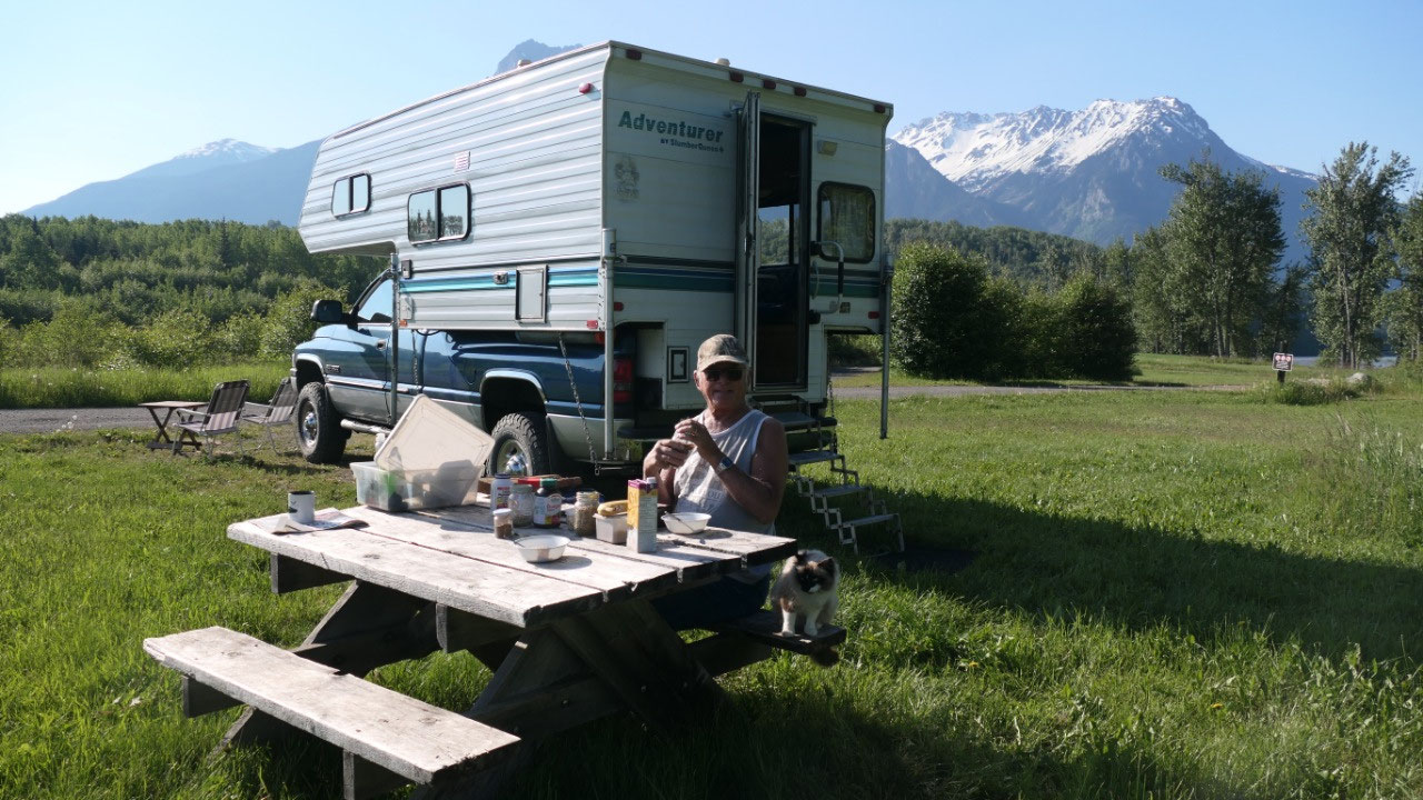
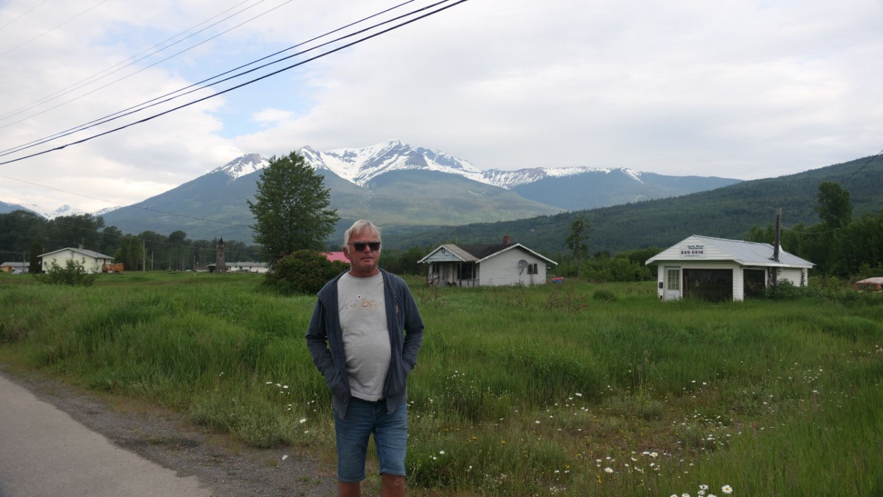
A day in Hazelton starts with sunshine
When you wake up and it is 10 C in the
camper you think it is cold – when you look outside and you see the sunshine
then you open the door and realize it is so beautiful out there… Coffee in the
sun with amazing mountain views – the day can’t start out better. Nevertheless
we decided to have an early start:
The Skeena Bakery
This was our number 1 stop, yesterday
when we arrived it was already closed. Today we came twice once in the morning
to pick up desert for tonight and a bun and later we came to order some
pretzels. We did learn that years ago a German Baker came here and started the
bakery. It then got sold but a few years back a German Baker came to Canada and
bought a farm outside the town here and he is coming in and is baking German
breads. And this is why a lot of recipes have German influence.
We get info about Hazelton:
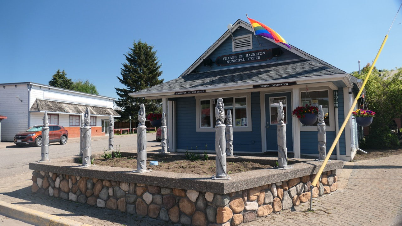
Our next stop is the tourist info to
get some more information about the area and what to do and we got the most perfect
booklet – now we are ready to start the day to explore Hazelton – you wonder
why we are here:
- It is named after hazel bushes that paint river-carved terraces
- It is surrounded by the roche de Boule Range
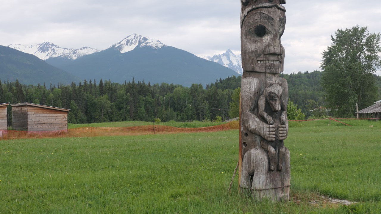
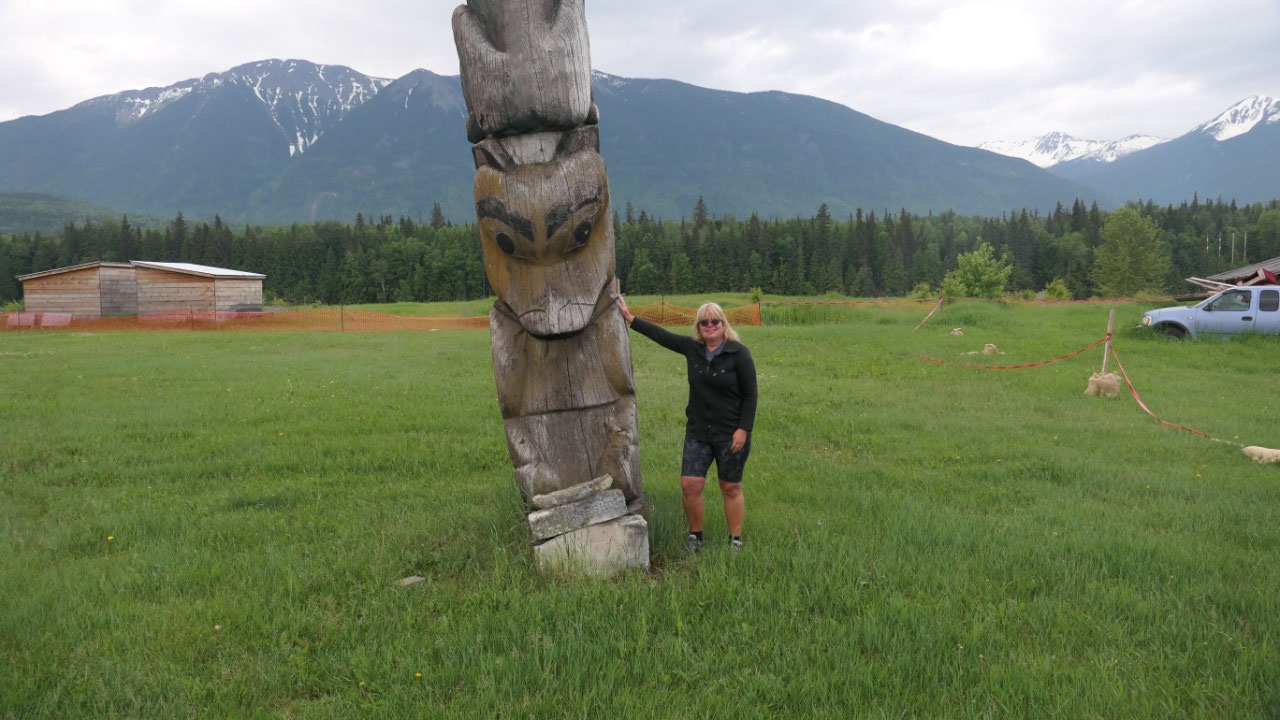
- It is the totem Pole capital of the world (that is why we are here – but it is a bit incorrect as they are not all in one town but in several towns around Hazelton)
- The white people came here in 1866 and a Hudsons Bay fur trading post got established (yes this is where old Hazelton is)
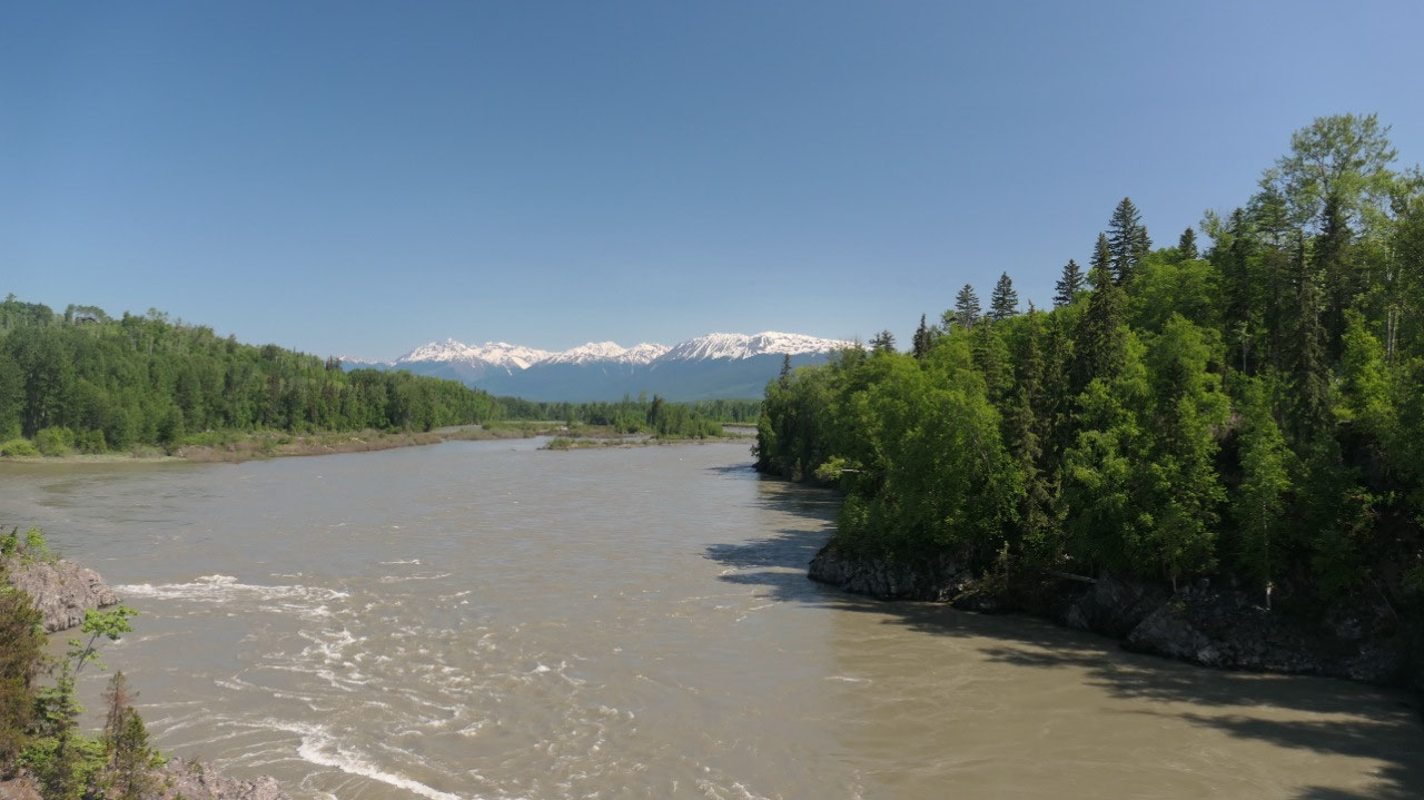
- Here the Skeena and the Bulkey river join (which is right at our campsite at Anderson Flat PP)
- And not to be confused there are 3 Hazeltons: Old Hazelton is where the original Hudson Bay Company was, once the railway came they built New Hazelton and south Hazelton were built along the Railway.
What is very cool they have “Hand of
History tour” signs all over which tell you a lot about the history of the area
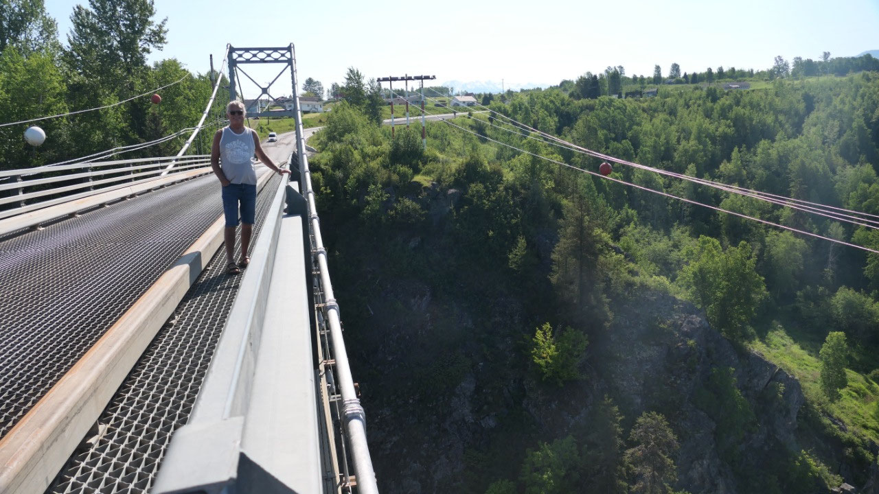
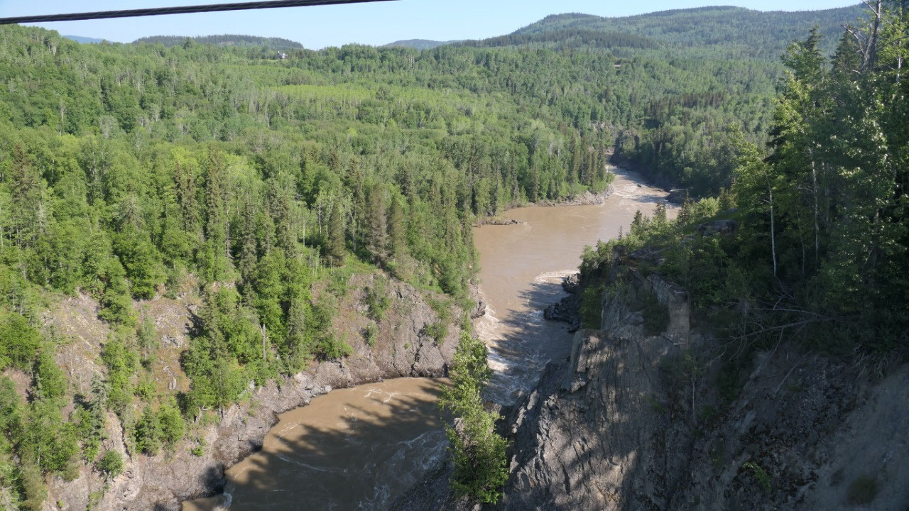
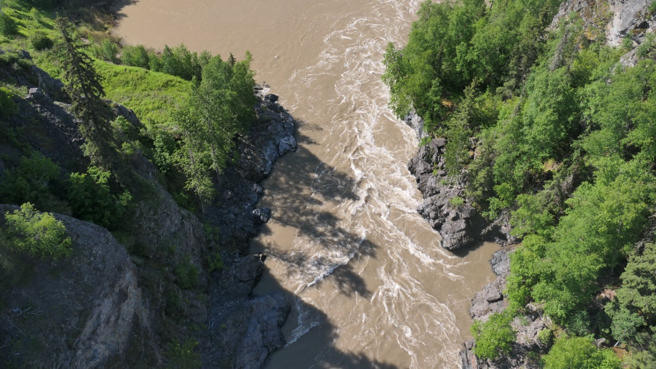
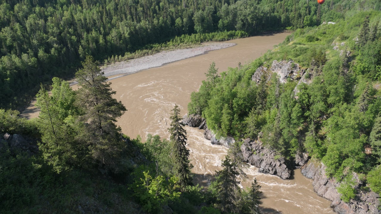
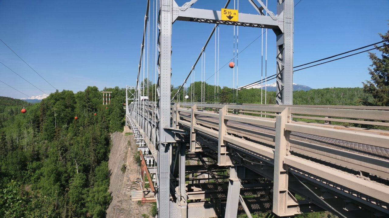
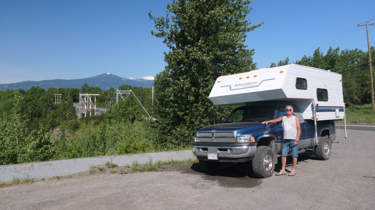
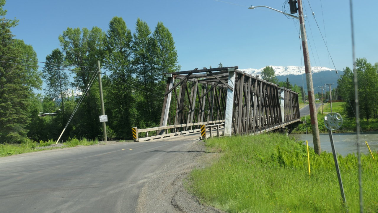
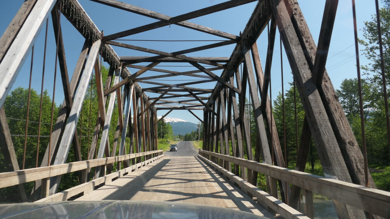
The Hagwiglet Canyon Bridge
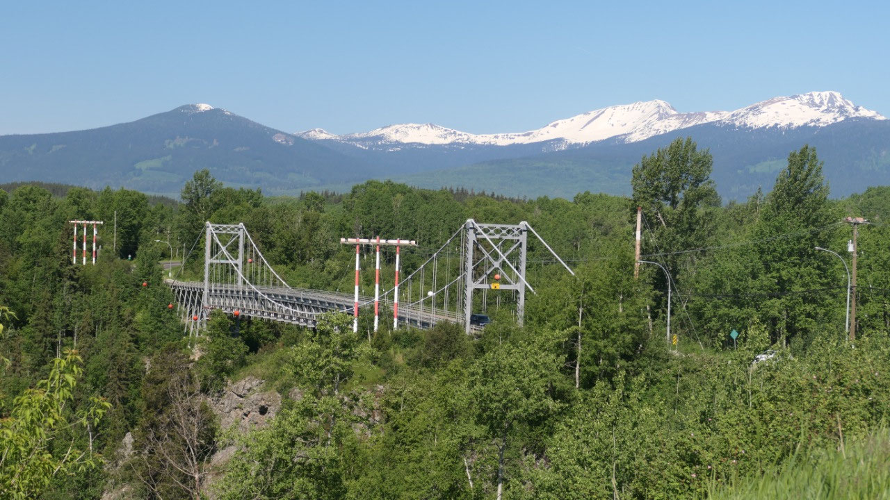
To go to old Hazelton we had to drive
over this single lane bridge over the Hagwilget Canyon which is 265 m below us
(maybe not so much at the moment as the river is so full of water) and it says
only one truck at a time – we saw several on it at the same time and hope that
it is safe. We stopped right before the bridge and walked over it, the railing
is not very high so you get a real Canyon feeling especially that we can look
through the metal below us – and then you watch the fast river going through –
really cool. We went back up to the lookout to have a better view on the bridge
and learned about the bridge
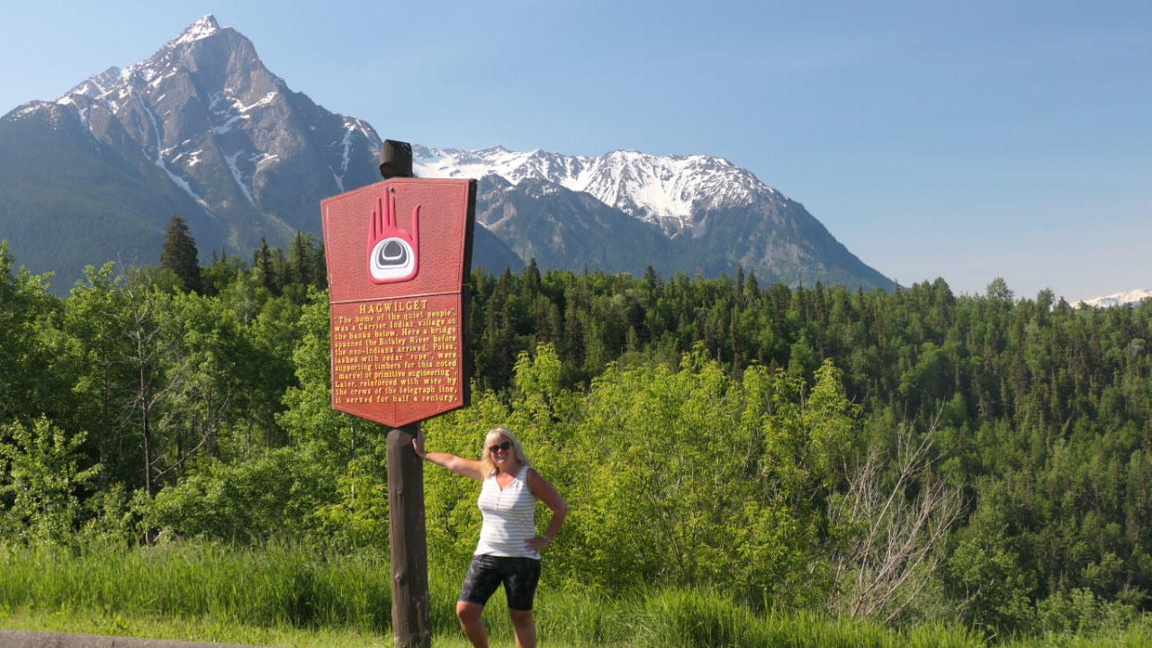
- Hagwiglet means “the home of the quiet people” – by the way they are not part of the Gitxsan people they are Wet-suwet’en people (like at the Morice Canyon)
- the bridge they had were poles lashed with cedar ropes (looks creepy on the picture and it was here in 1856 when the white people came
- The bridge today built in 1931 is one of the highest suspension bridges in North America
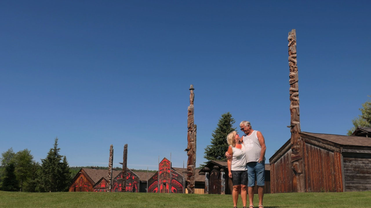
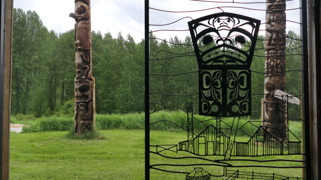
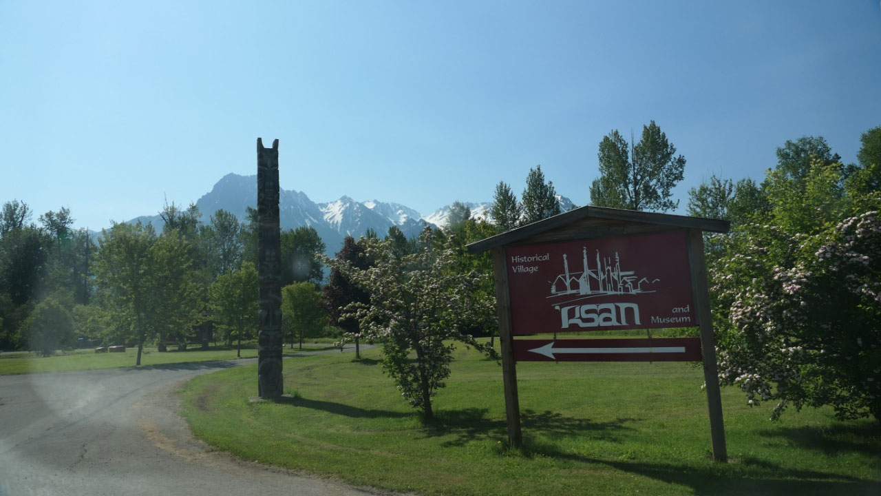
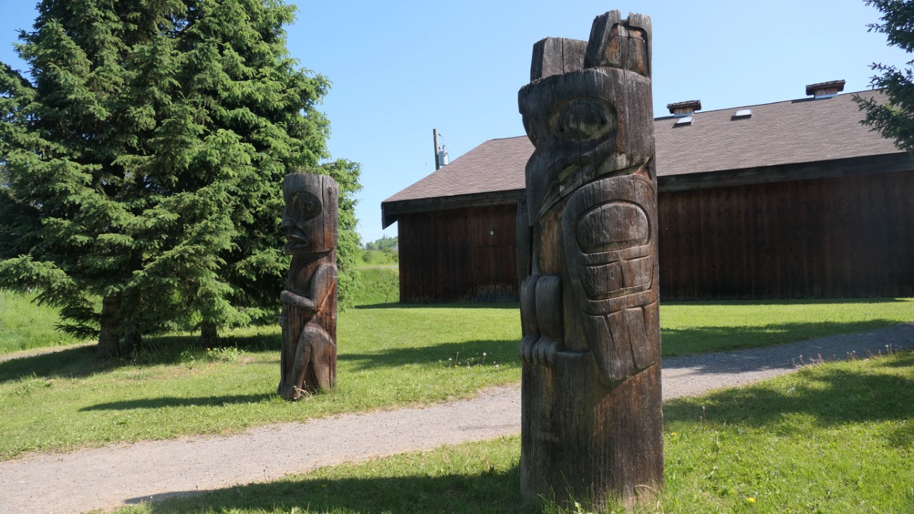
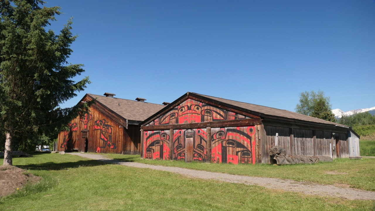
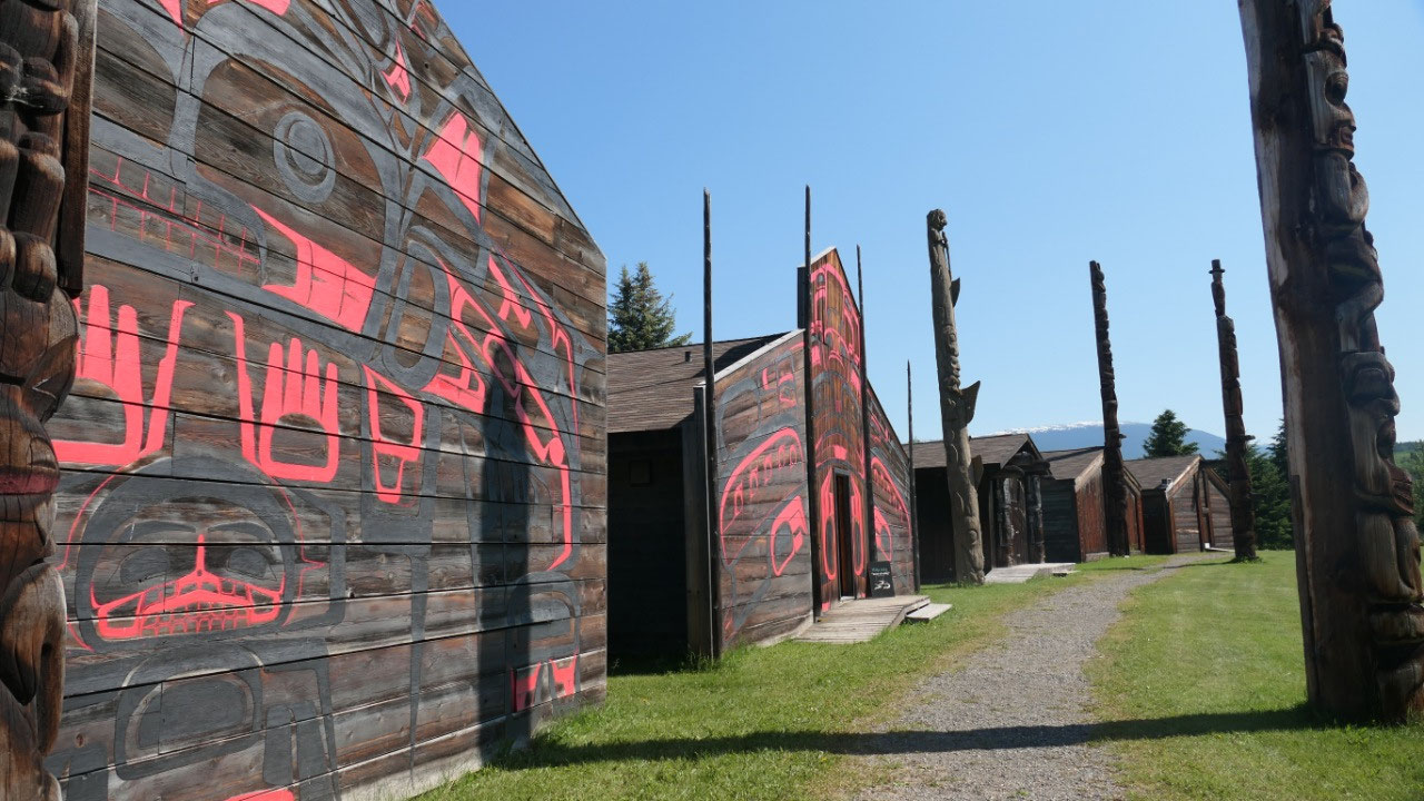
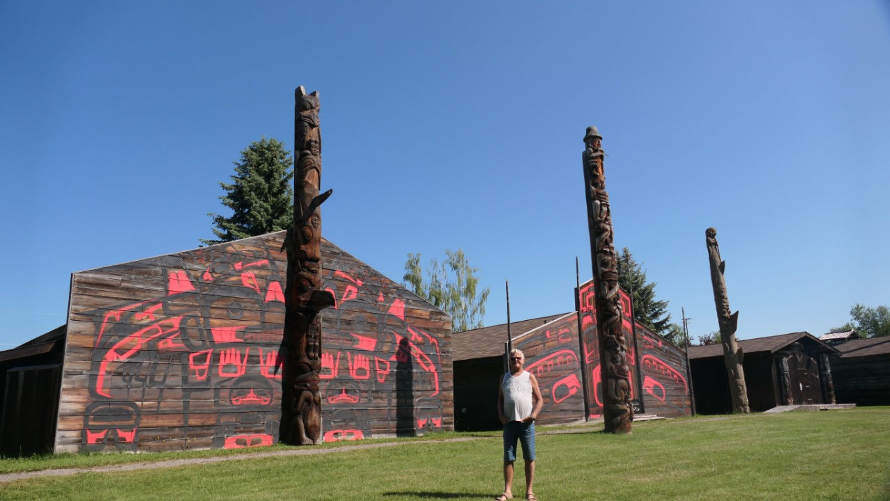
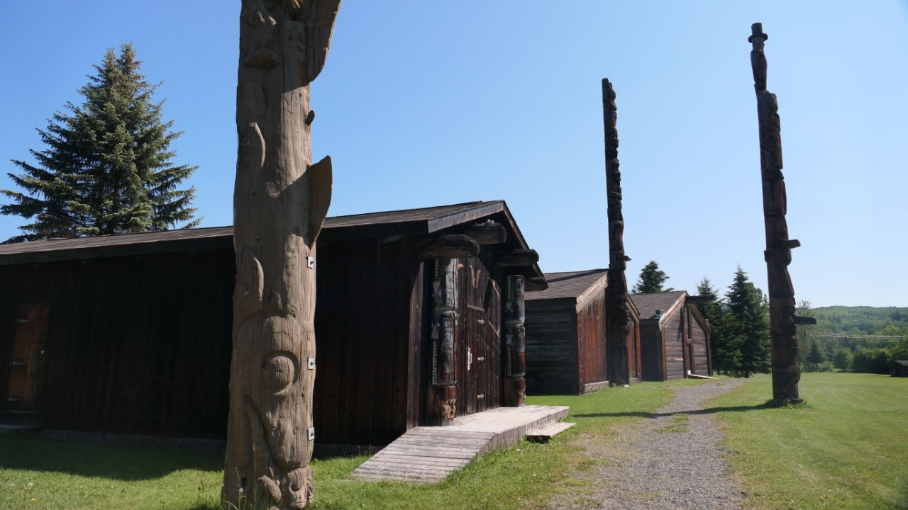
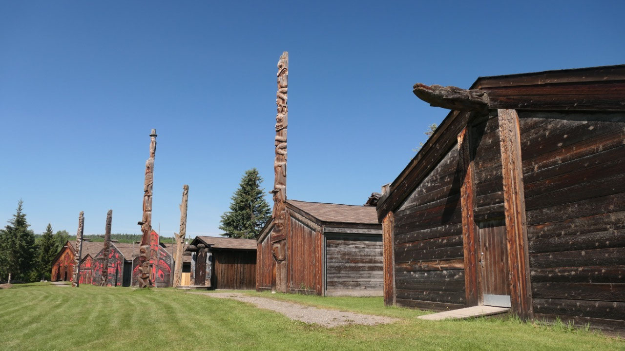
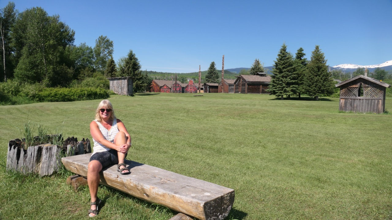
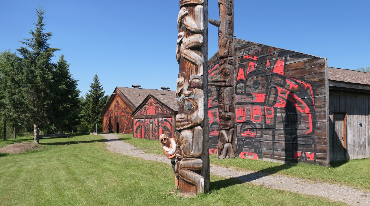
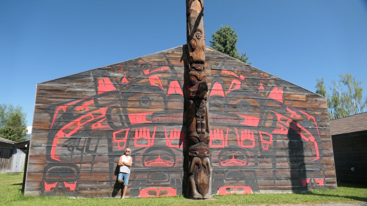
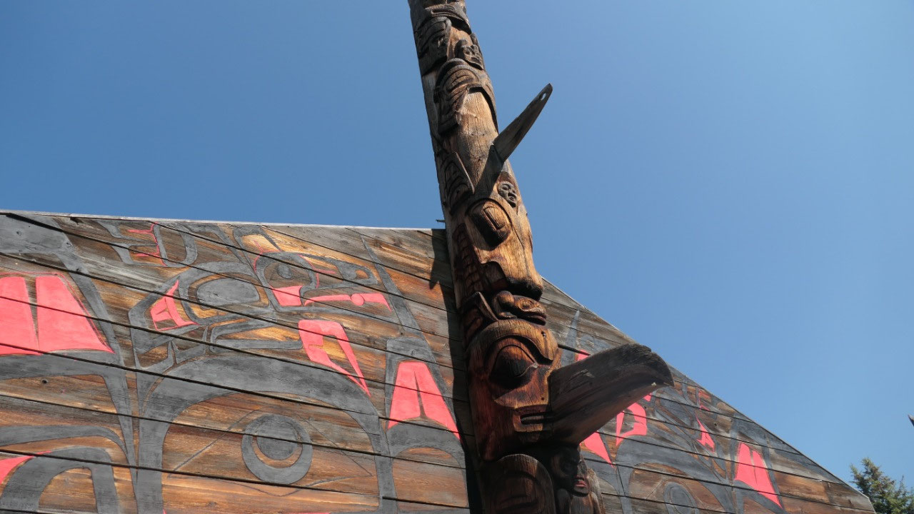
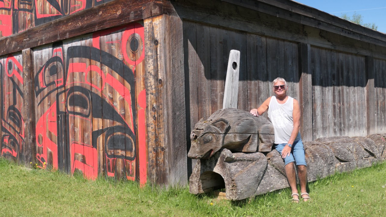
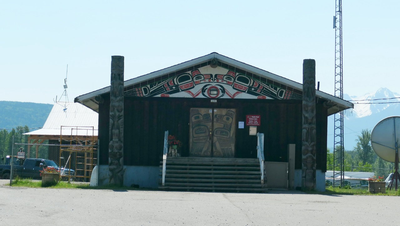
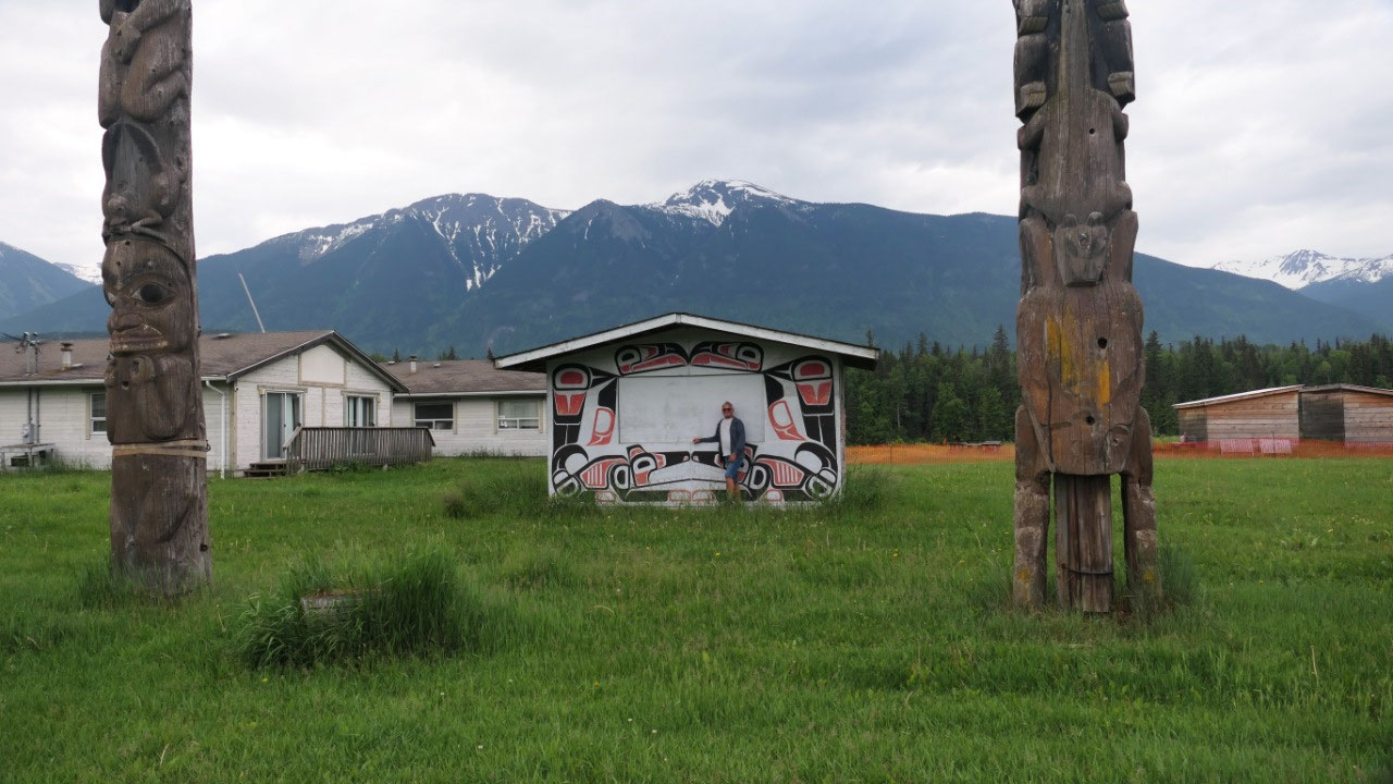
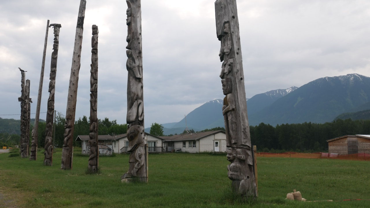
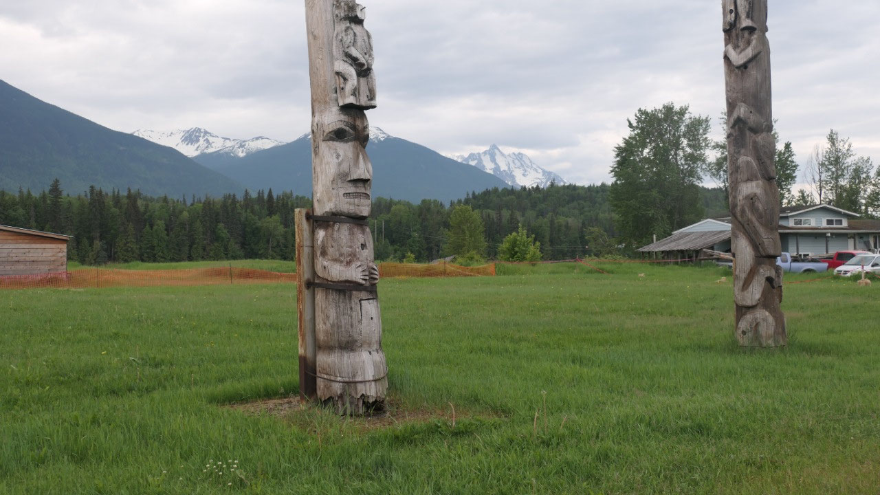
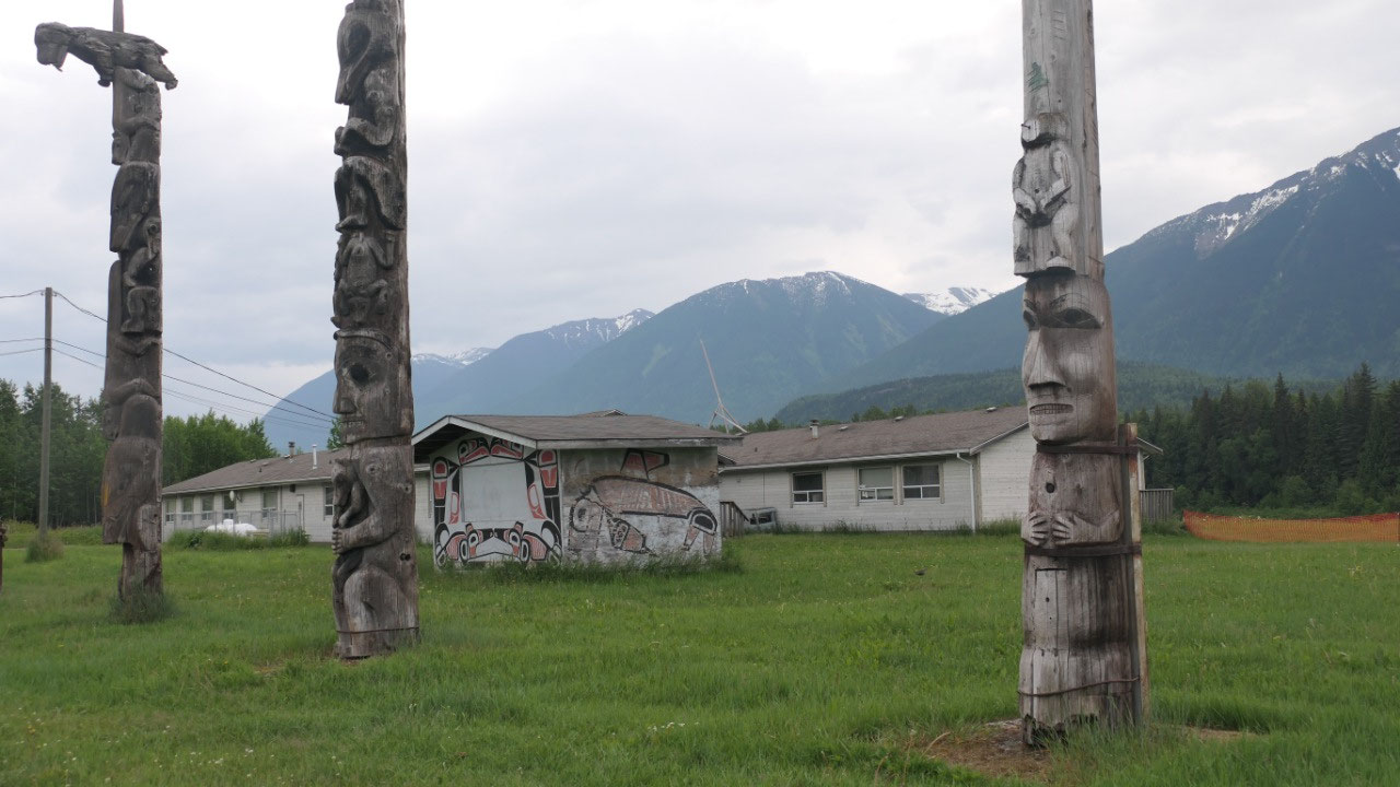
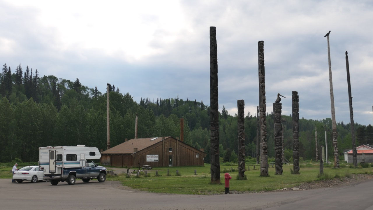
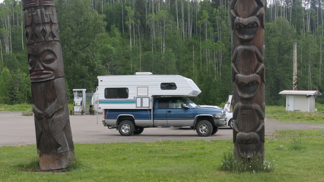
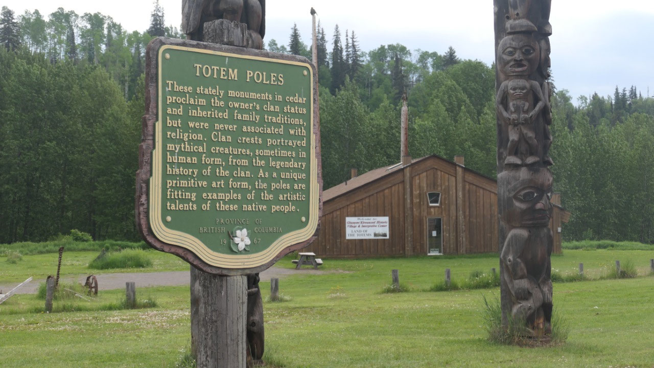
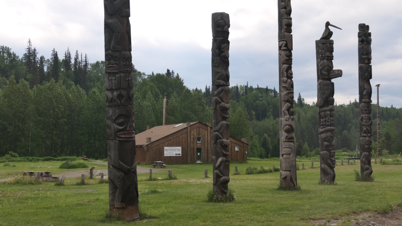
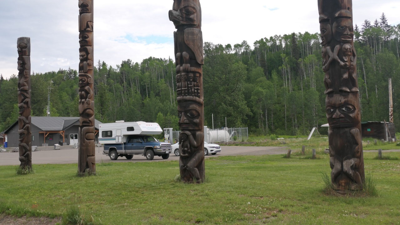
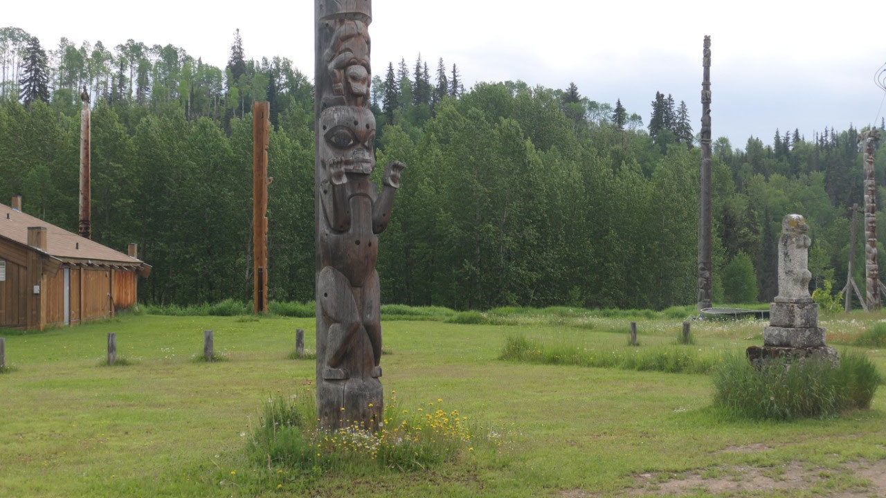
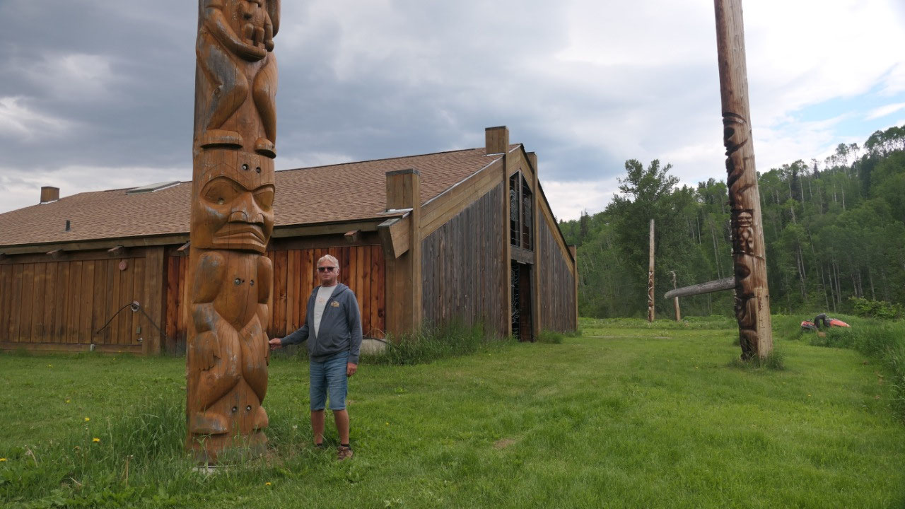
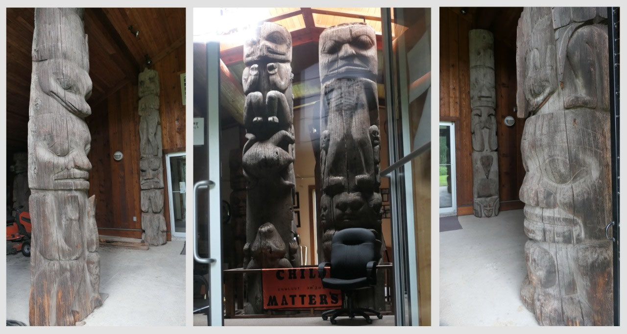
Ksan Historix Village
This is our next stop, we learned that
we can look at the seven long houses from the outside but only can three of
them inside with a tour and they only do tours for 4 or more people: so we
looked at them from the outside – they are super cool with the totem right in
front of them – all in a row – the painting on them with black and red – really
beautiful. We took a lot of pictures.
- The Gitxsan lived here for over 10000 years and this is a recreation of an 1870 native settlement and got built in the 1950s to preserve the culture of the Gitxsan
- The Gitxsan are the people of the Skeena river or the river of the mist
- The Gitxsan have 4 clans: the Frog-Raven, the Wolf, the Eagle and the Fireweed
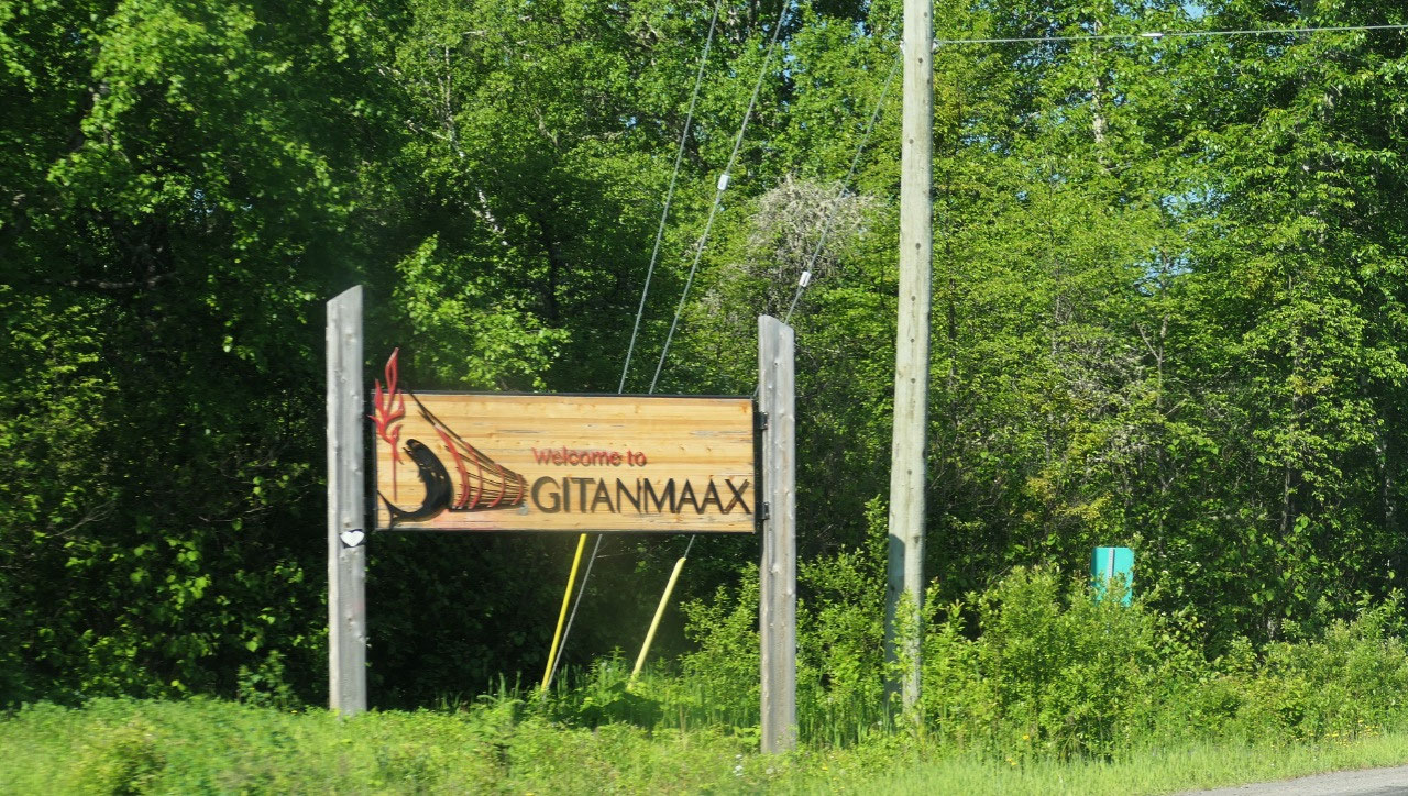
- Today around 13.000 Gitxsan live in 14 Settlements like Gitwangak, Gitanyow, Gitseguulka, Hagwiglet, Gitanmaax, Glen vowell, and Kispiox
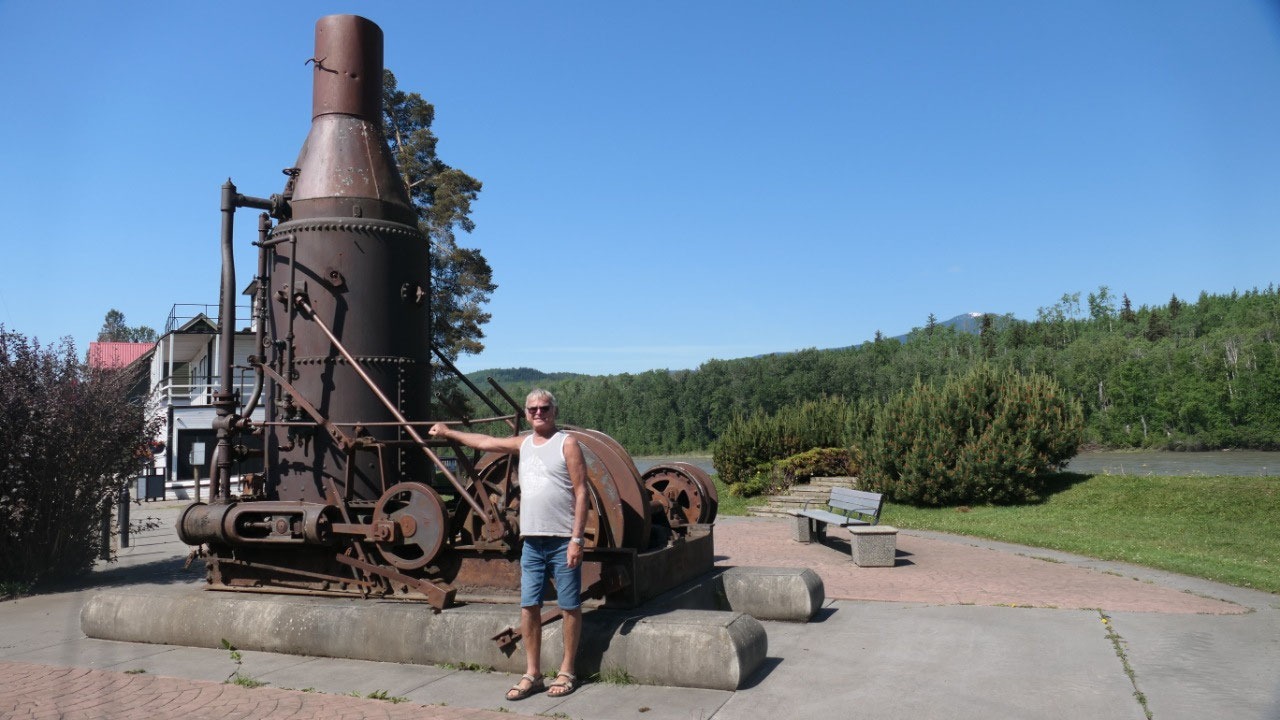
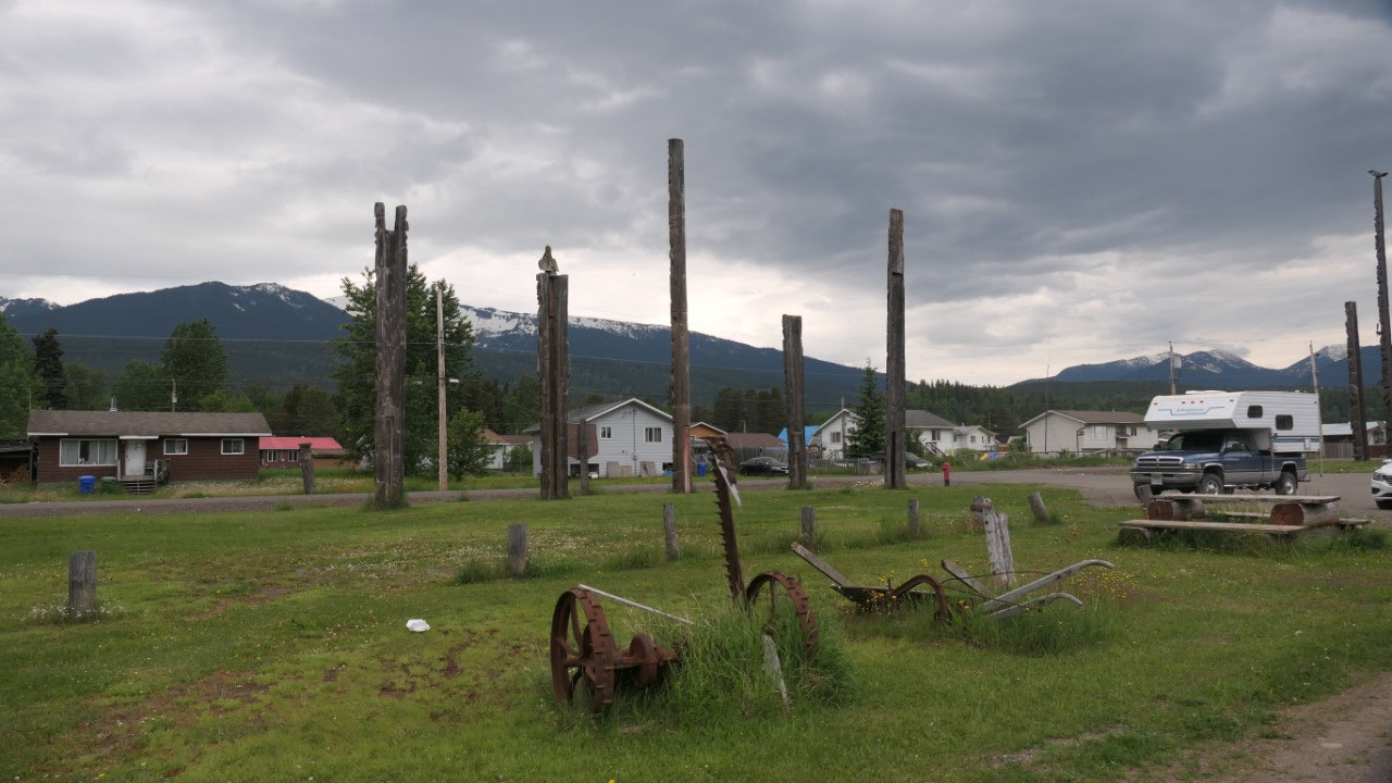
Around old Hazelton
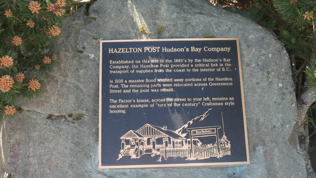
We then headed into old Hazelton this
is where the Hudson Bay company started the fort and there are still a lot of
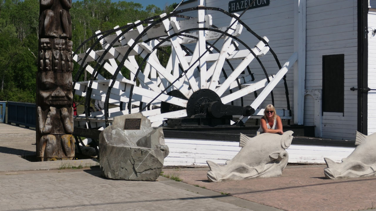
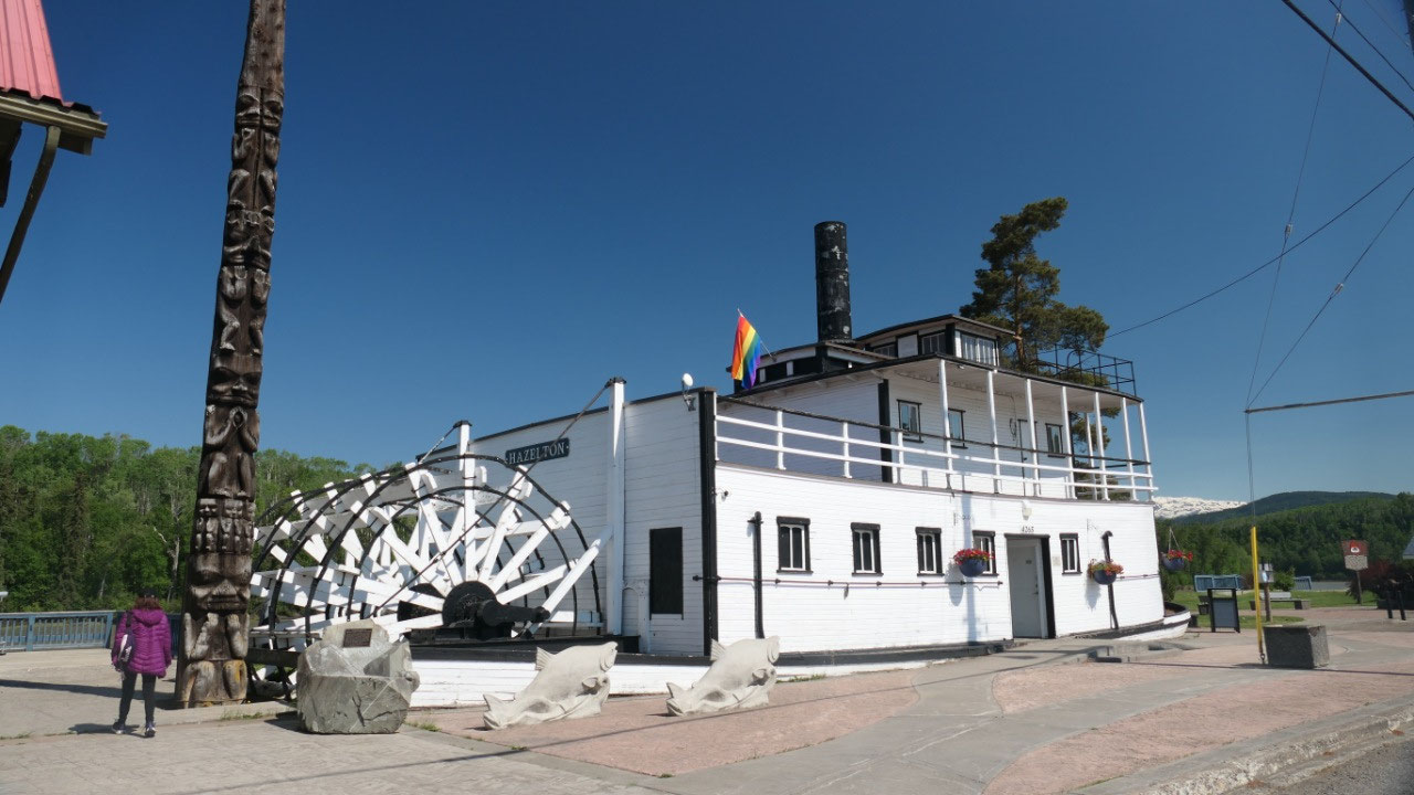
buildings left – we parked along the river near the small steam wheeler (but
then it had to navigate up here on the rapids of the Skeena River):
- Old Hazelton was the commercial center of the Northwest from 1866-1913 and the oldest surviving pioneer community in NW BC
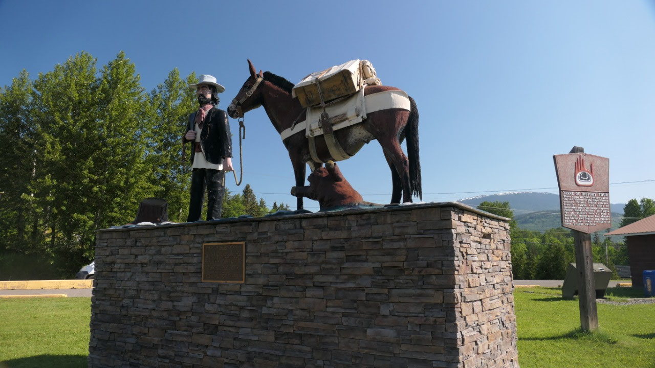
- One name which is famous around here is Jean Caux – also named Cataline: he established a pack train operation which became one of the most well known one in the province: he did daring deliveries to isolated mines, homesteads and new settlements. For 55 year he was riding the trail and did his last trip in 1913 – when the Grand Trunk Pacific reached Hazelton
- Polly Sargant lived for over 50 years in Hazelton until she died in 1993 – she married in a pioneer family and was the first major of Hazelton from 1956-68, she made it possible that the roads got paved, sidewalks made, street lights and sewer came to town, they got a firehall, library and health center. She helped making the Ksan Historic Village possible and revived the Gitxsan culture
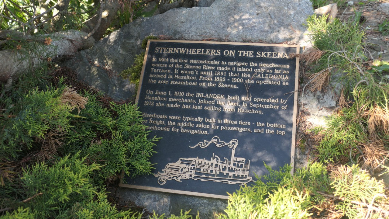
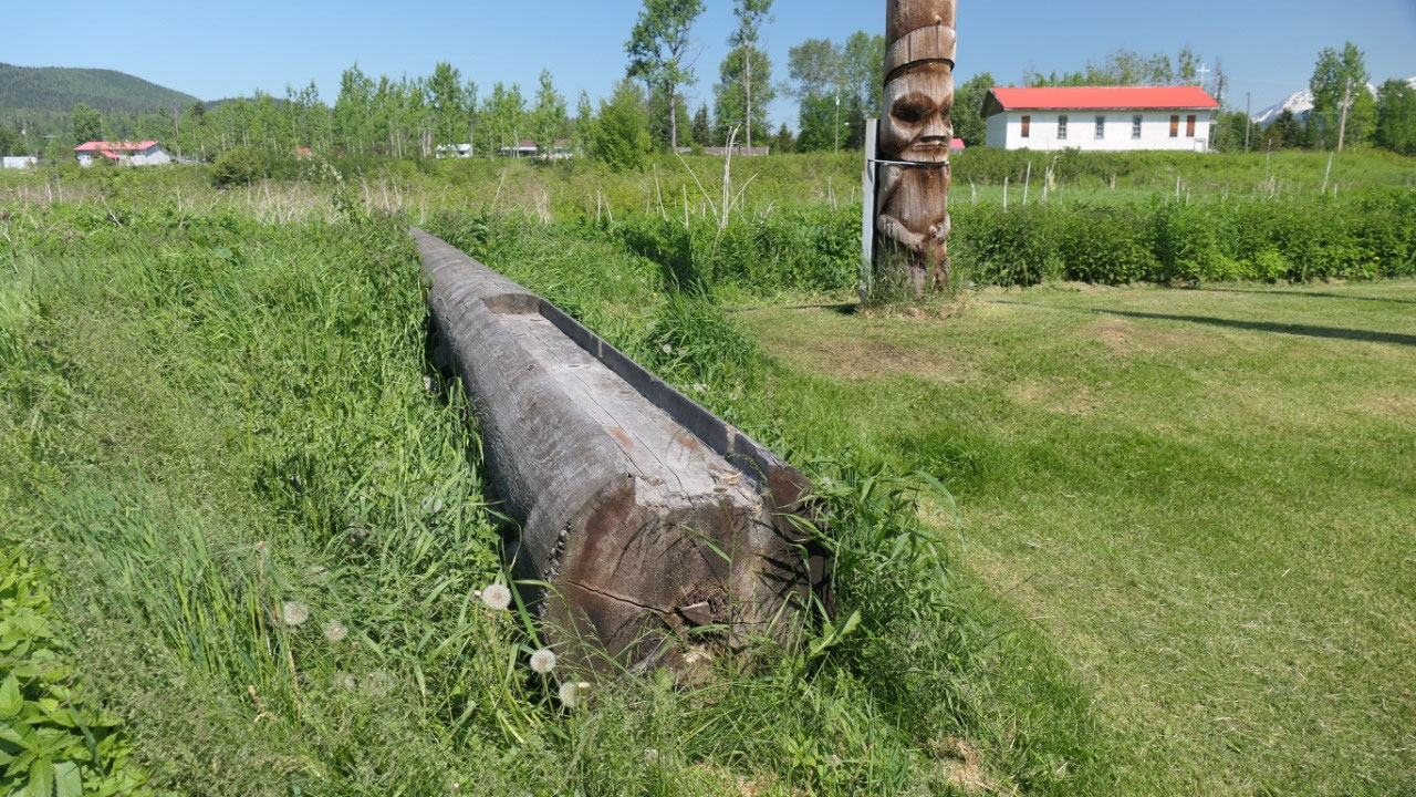
- In 1864 the 1st Steamwheeler navigated the treachures skeena River until Terrace, it was not until 1891 that the Caledonia arrived in Hazelton, the last sailing on the Skeena river was in 1912 – the one we saw is a replica of the Caledonia
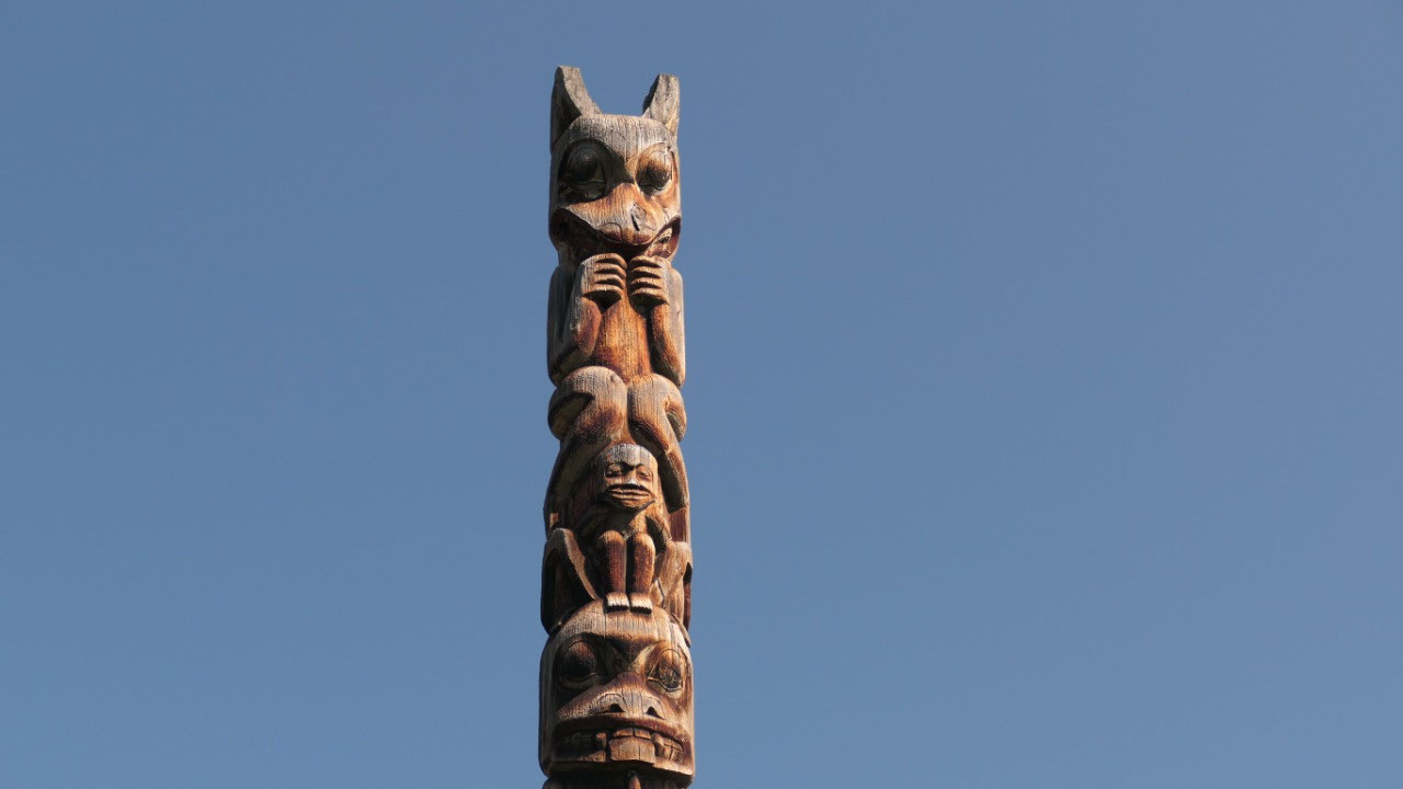
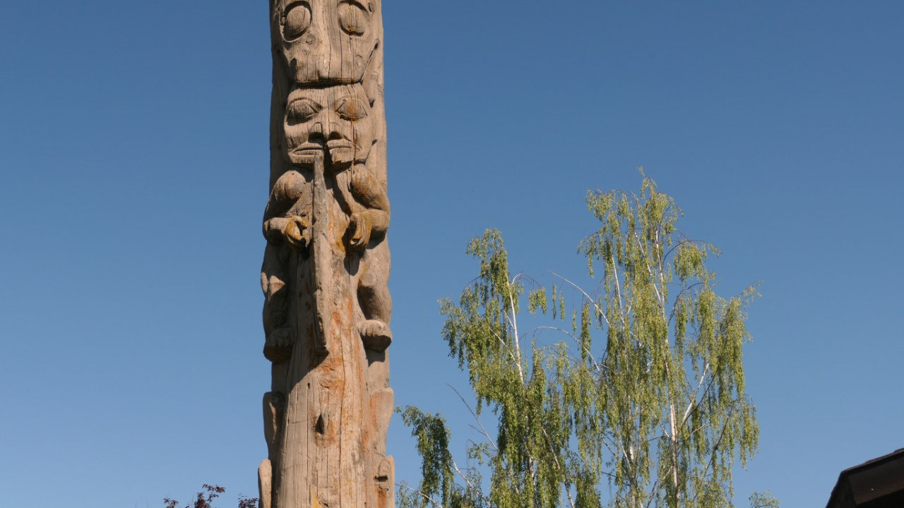
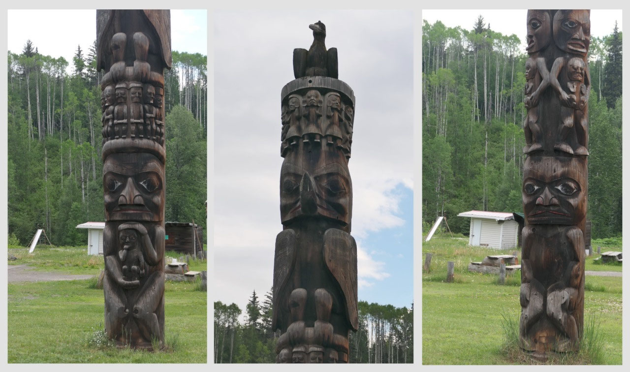
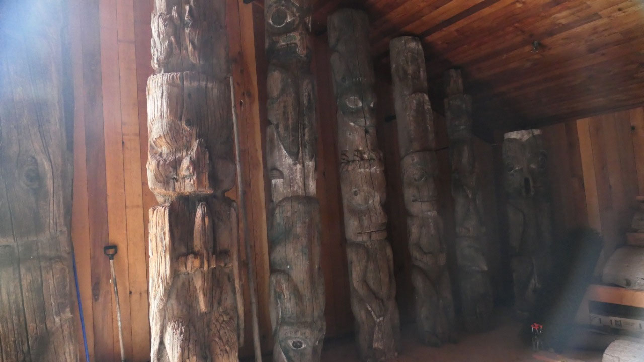
- Gitemkaldos nose like coho totem is one of the oldest surviving totems from the late 1800s (you can see a corpse split in two, the nose like coho, man of the wilds, a row of three children and at the bottom another bushman
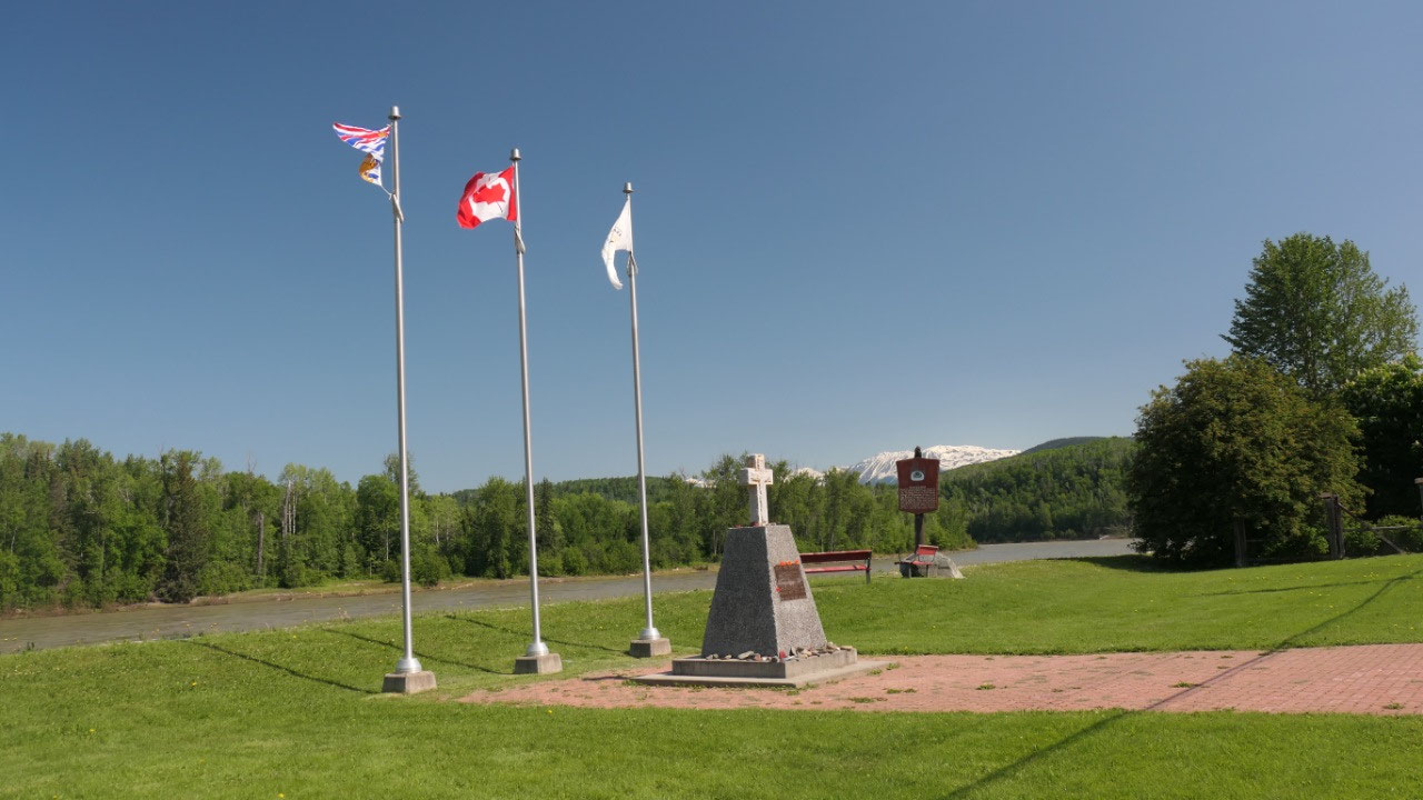
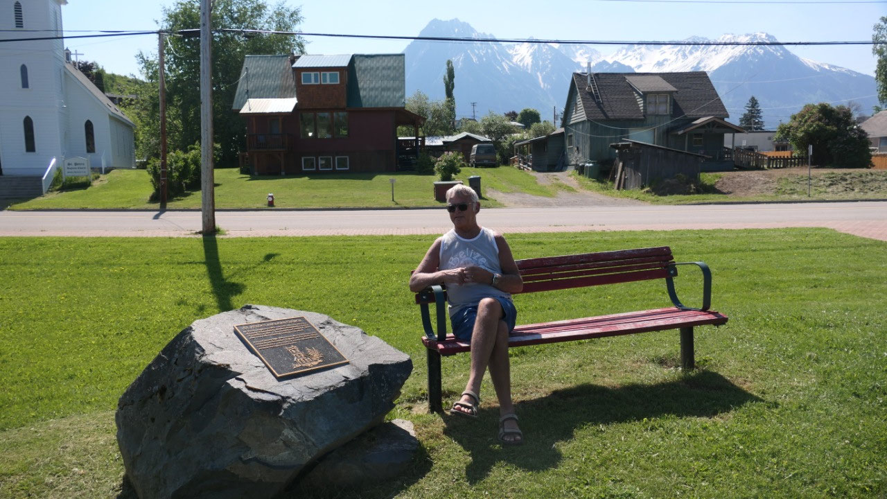
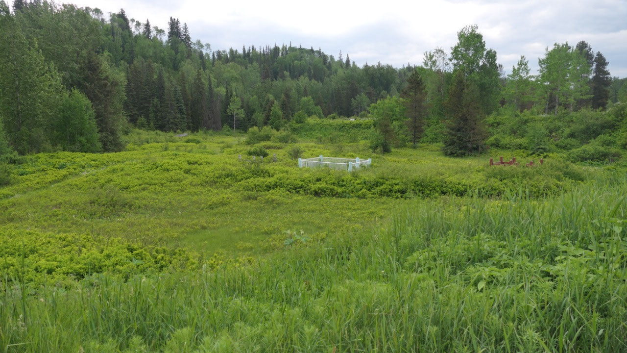
We are now in the Polly Sargant Park
and walked along the Skeena river to see a steam donkey until we reached the
Bastion Park (by the way I didn’t even realized we came to another park – I
thought it is all one park): here was once the Fort of the Hudson Bay company
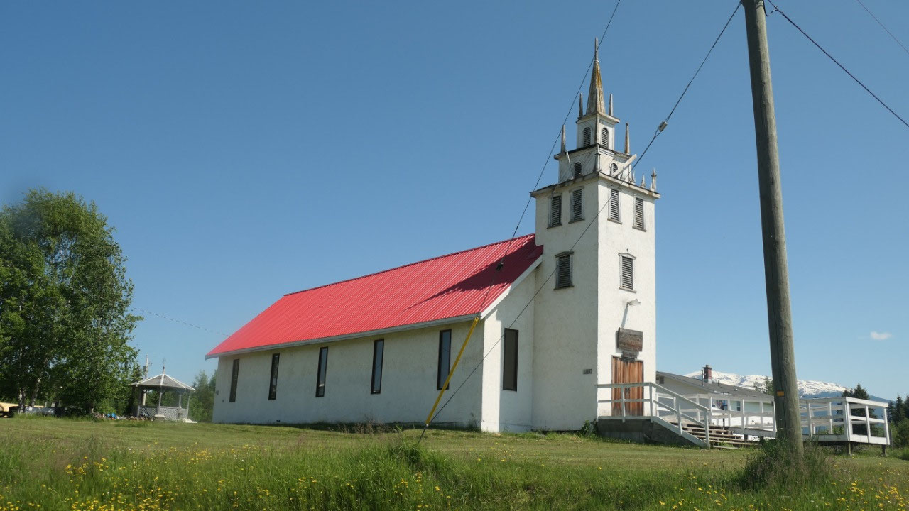
at the very end was also the old historic St. Peters Anglican church (by the
way this is the oldest building of Hazelton from 1900). We then walked back
over the Board walk and found some more interesting plagues telling us about
all the artefacts here. We also met some First nations guy on their lunch break
and had a talk with them. Here is also a really old Totem Pole and it looks
amazing with the Steamwheeler (and the blue sky).
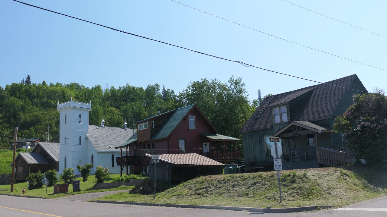
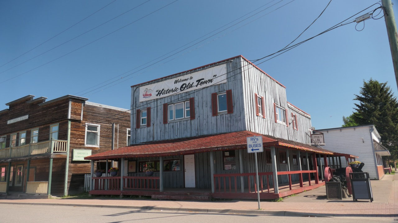
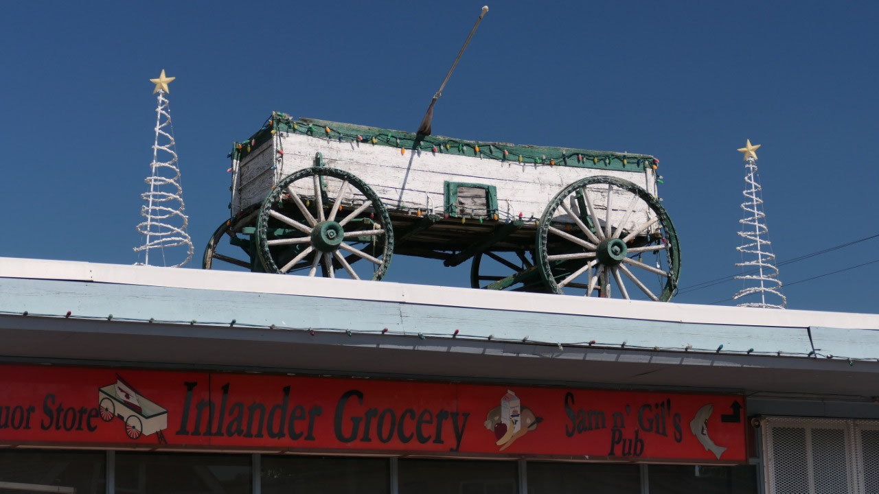
We then walked up the one block to be
in the center of the old historic center: but the town is like dead!!! You can
see some old store fronts and an ore wagon on top of a building (which looks
cute) an engine and a paddlewheel shaft they found it in 1988 in the Skeena
River (it’s from 1910)
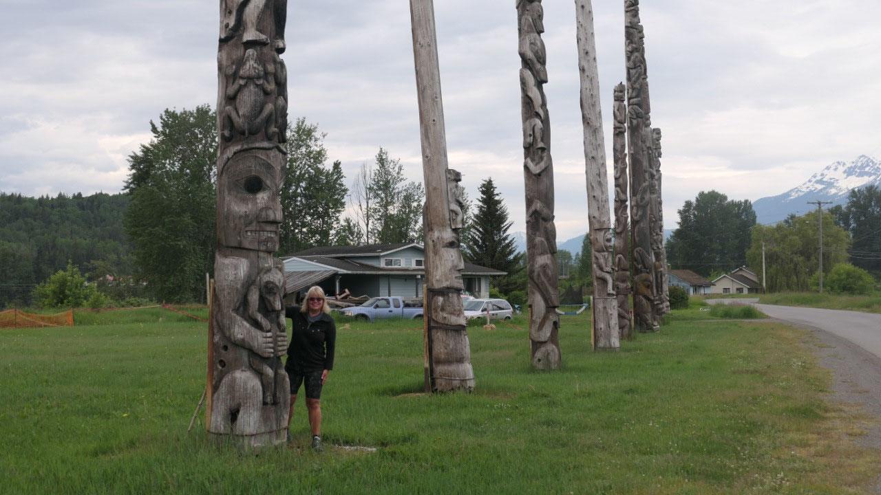
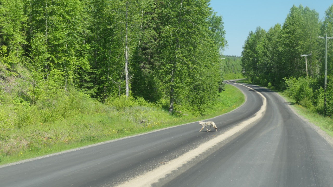
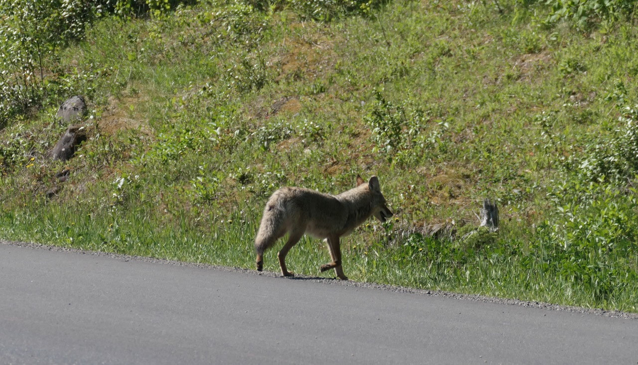
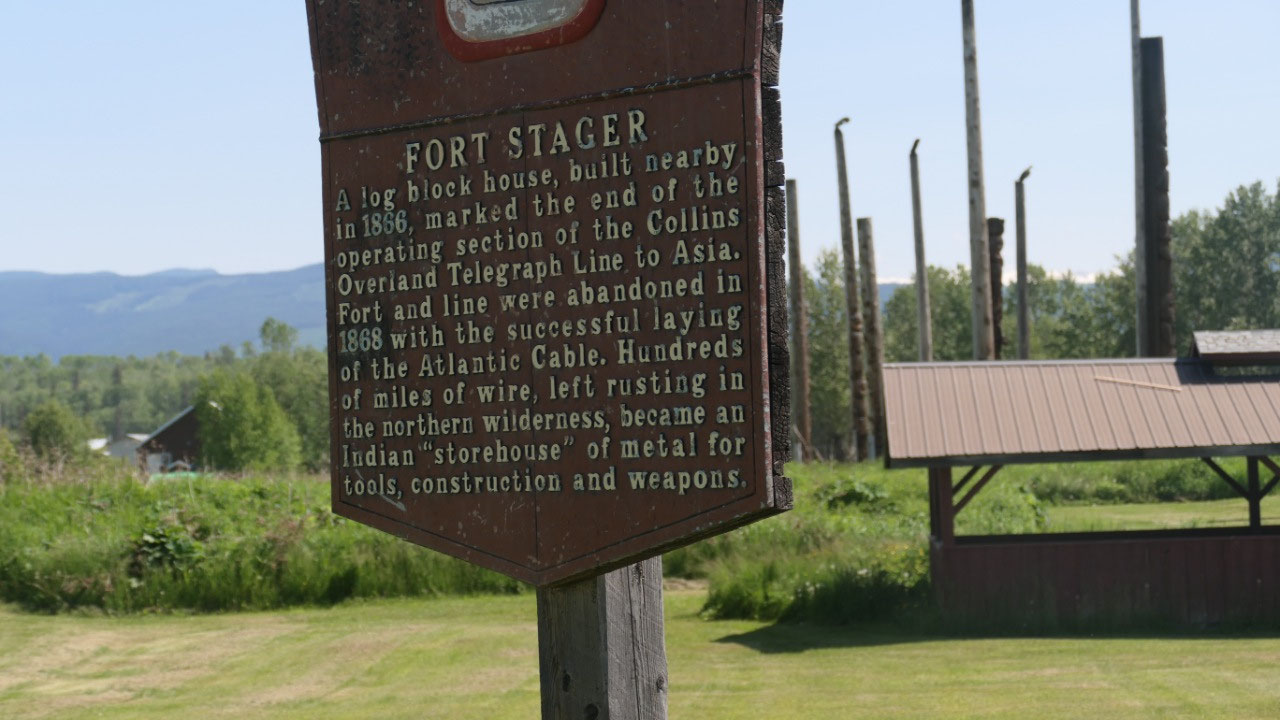
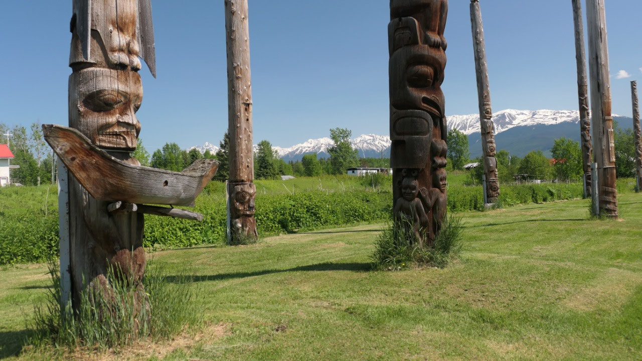
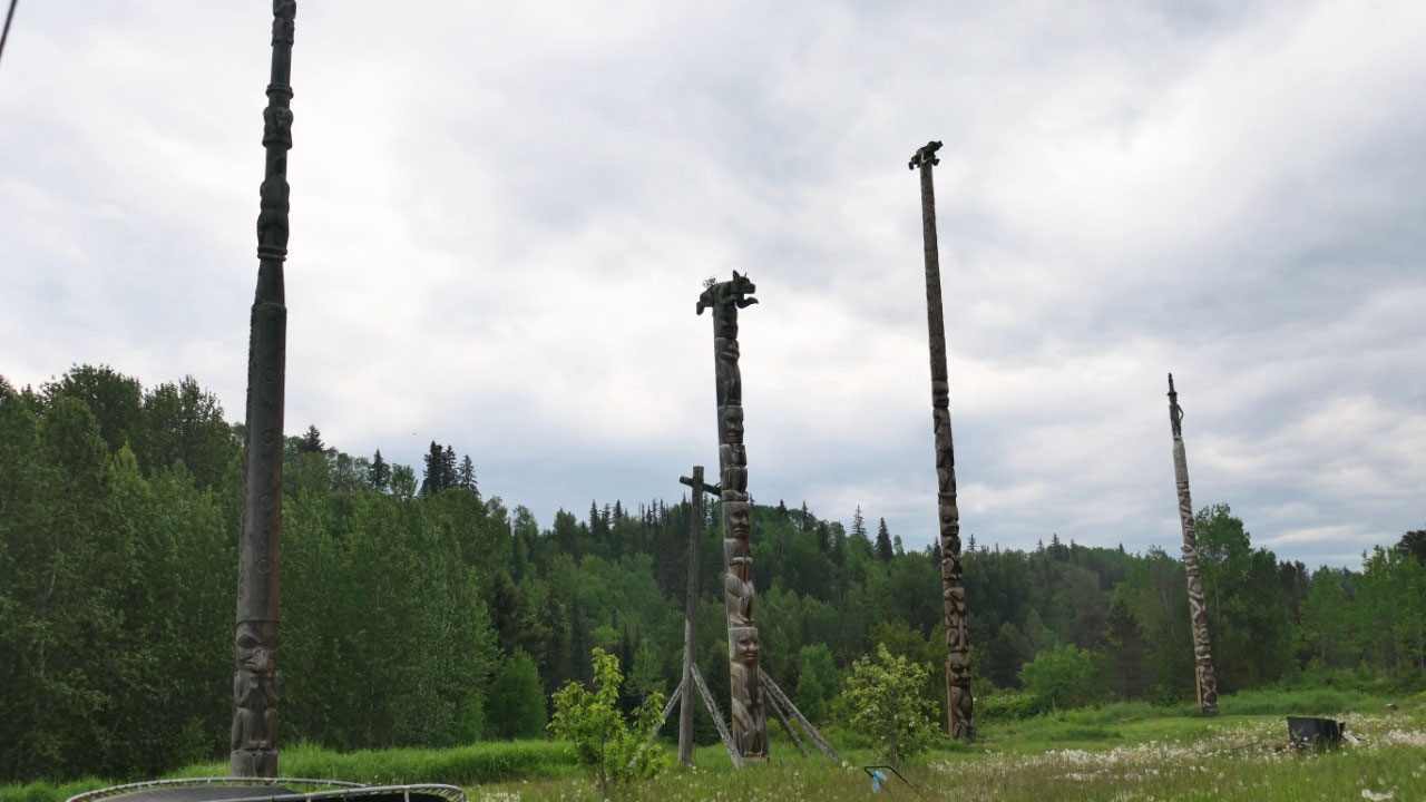
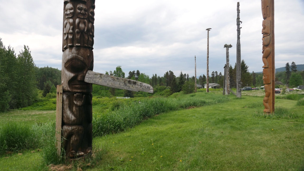
The coyote on the Kispiox Road
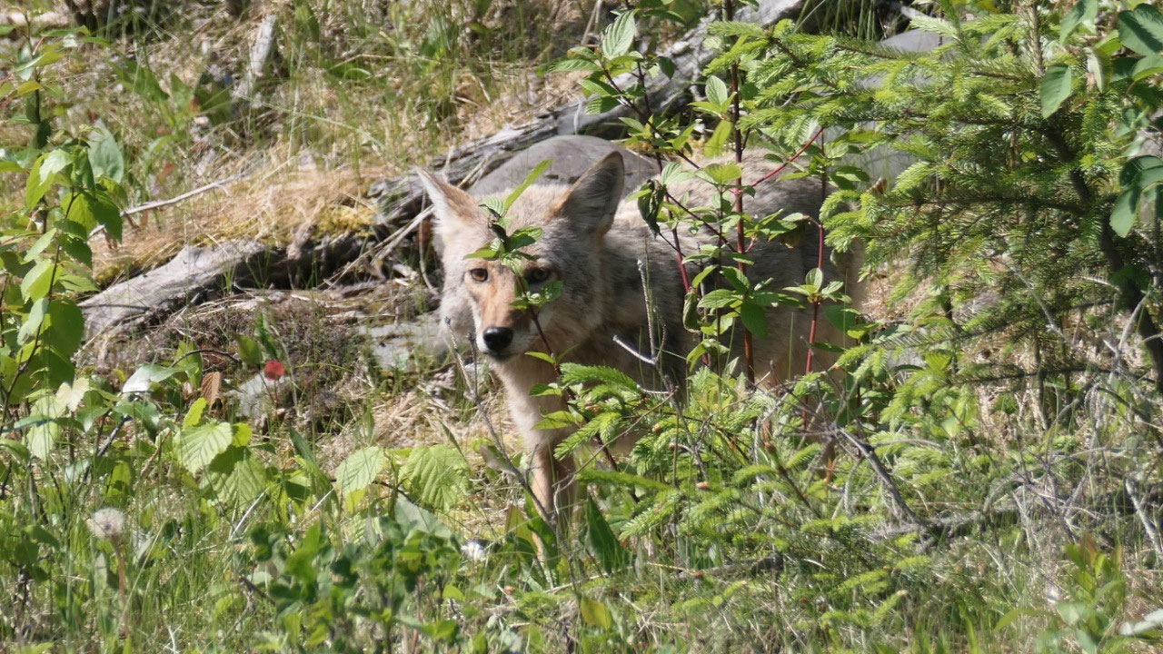
We ventured off the beaten path up on
Kispiox Road and then Paul stopped because there was a Coyote on the road which
we watched for a little bit before continuing on to see the 16 totems of
Kispiox all lined up in a row – perfect to take a picture – they are from 1866.
First we had to cross an old wooden bridge.
- here was also the spot where Fort Stager was located and it was the end of the telegraph line to Asia – it got abandoned in 1868 when they laid the Transatlantic cable. Hundreds of miles of wire where left rusting in the wilderness
- with 600 people this is considered a large Gitxsan community
we quickly stopped at another old
historic church at the end of the road and on the way back discovered some
houses which really need some TLC
By the way we came through the small
community of “Two Mile” and as we didn’t look at anything I thought it was cool
to read that it is called Two Mile, because it is two miles from Hazelton and
it was the town of the lawless andluckless who were banned from the Hazelton city
limits
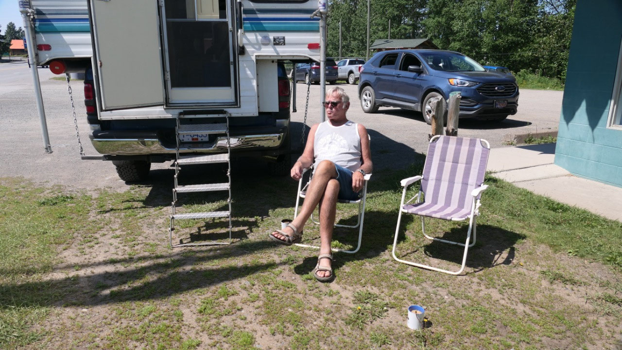
Getting prepared for the next part of
the journey
Tomorrow we will hit the Cassiar
Highway and want to be prepared for the remoteness that means: filling up gas
(and cleaning the windows), dumping at the free dump station at the tourist
info and going to the laundromat and wash our clothes: sitting with our chairs
near the road having coffee while watching people during the washer and dryer
is running is a perfect pastime.
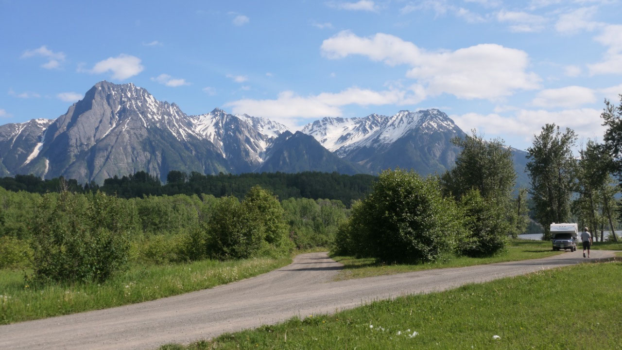
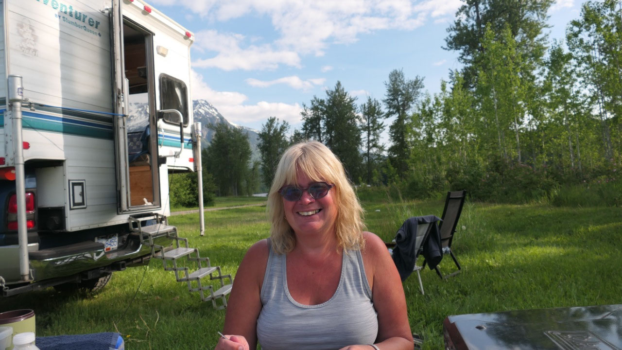
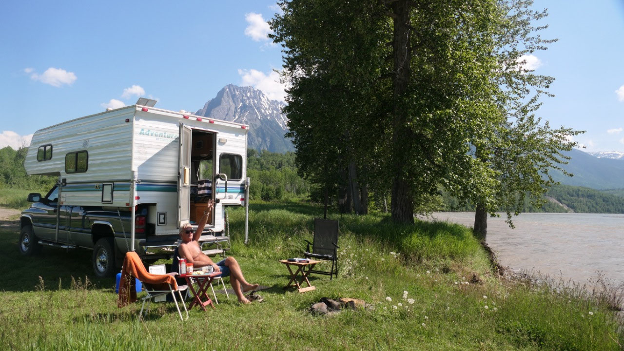
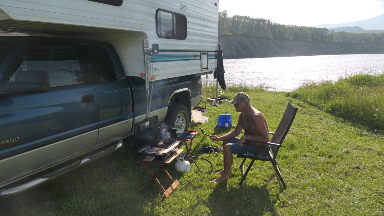
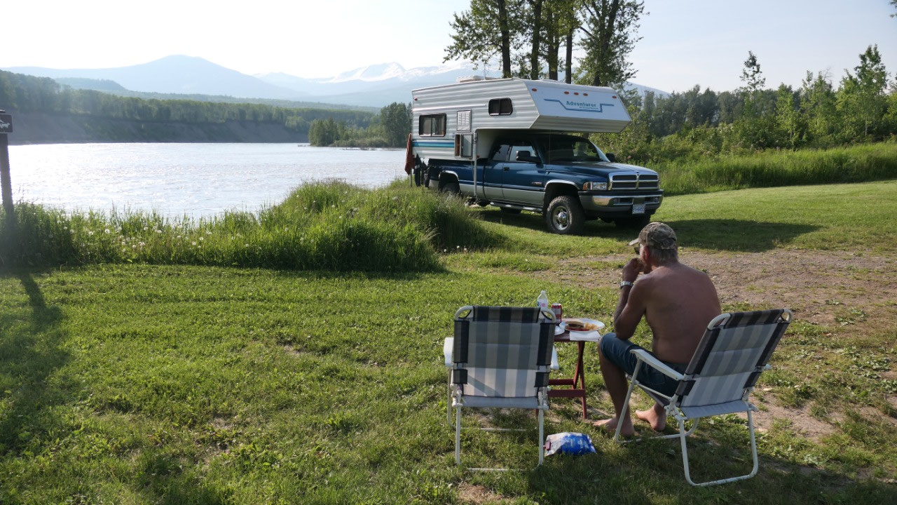
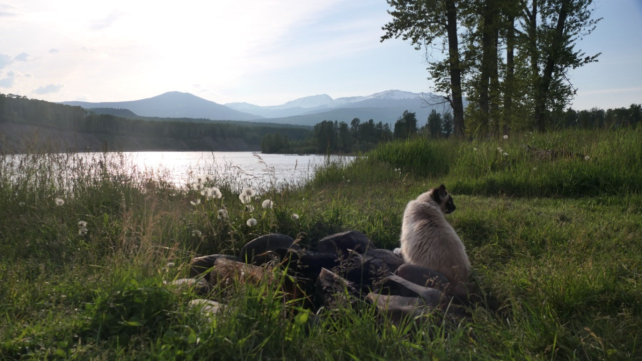
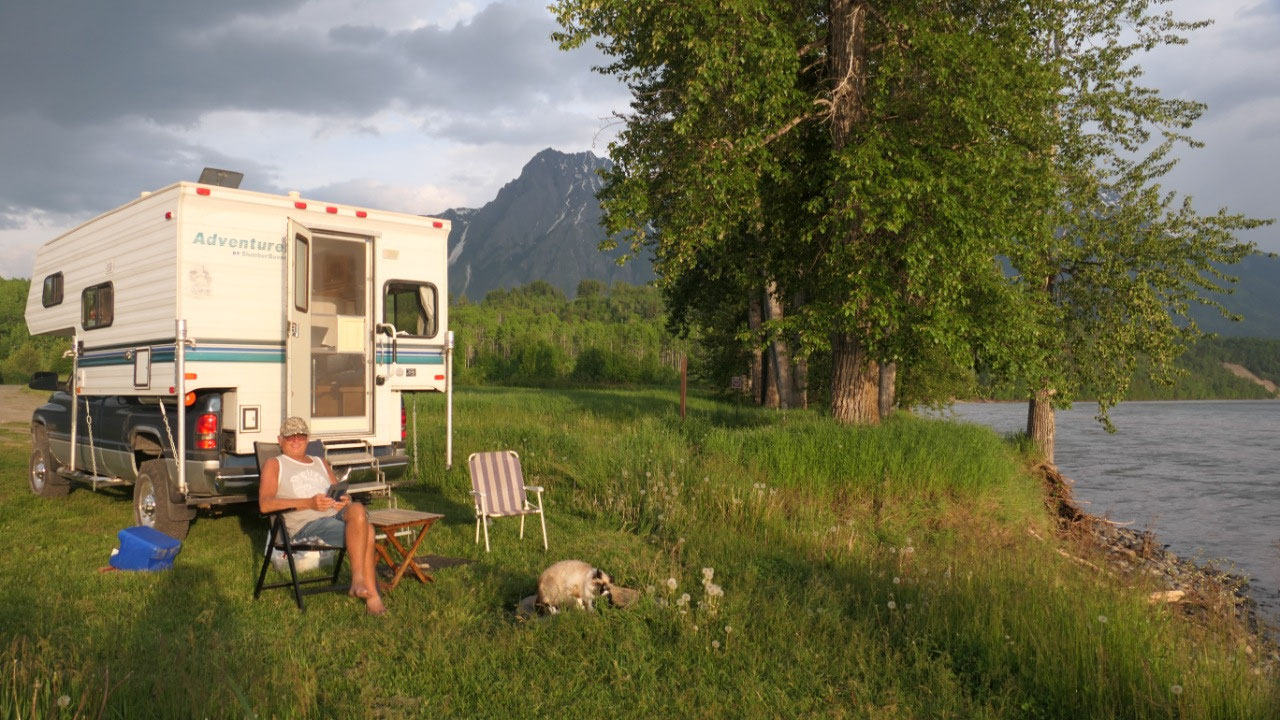
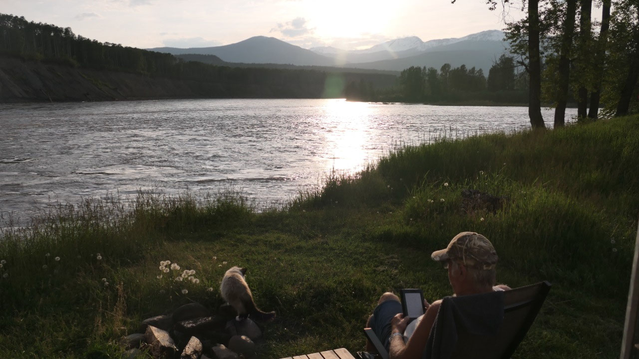
Sunshine along the river
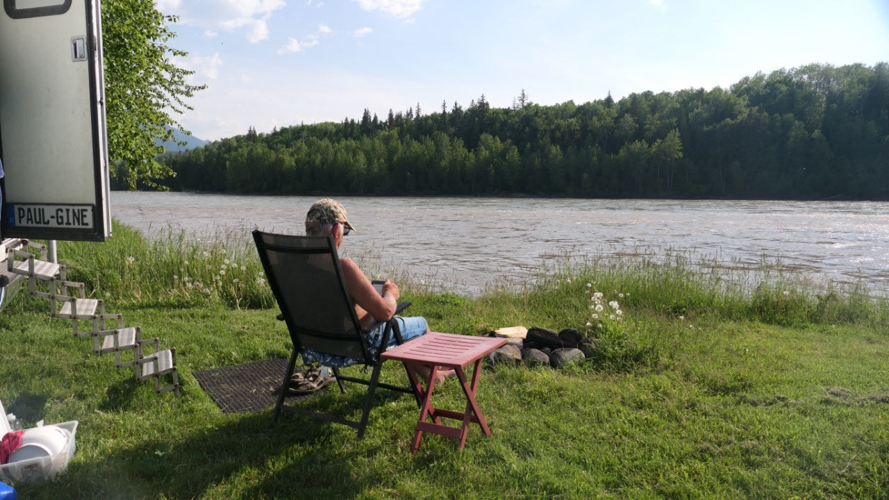
And now it is time to relax: back to
the Anderson Flat PP and we set our chairs have a perfect spot at the river, it
is so warm today that we sometimes even had to go into the shade.
- Anderson Flat was once Mission Point for the earliest Methodist church
- This spot is also famous as the Haida Gwai war party came up the river here in 1896 to the trade fair
- Here was also the last home of Cataline
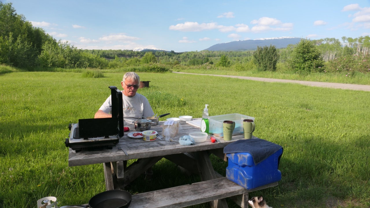
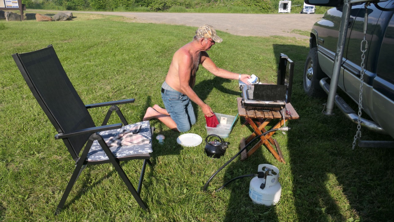
Today we had no picnic table to Paul
had to improvise a bit with the BBQ – especially since he wanted to do it in
the shade. It was such a perfect evening that we were later sitting outside in
the sunshine reading or watching the river… It is so gorgeous.
And to top it off we had a beautiful
sunset – which was kind of early but only because of the high mountains.
German Pretzels not at Seeley lake
After the wonderful day yesterday we
woke up to clouds and a white tailed deer says good by to us – that means after
coffee we are ahead of schedule to the way to the bakery to pick up our “pricy
Pretzels”. Our original plan was to eat them in the picnic area at Seeley lake.
Once there we were still super early, we still parked and walked down to the
lake and were not impressed at all and decided it’s still early we will keep
going and have breakfast around 10.
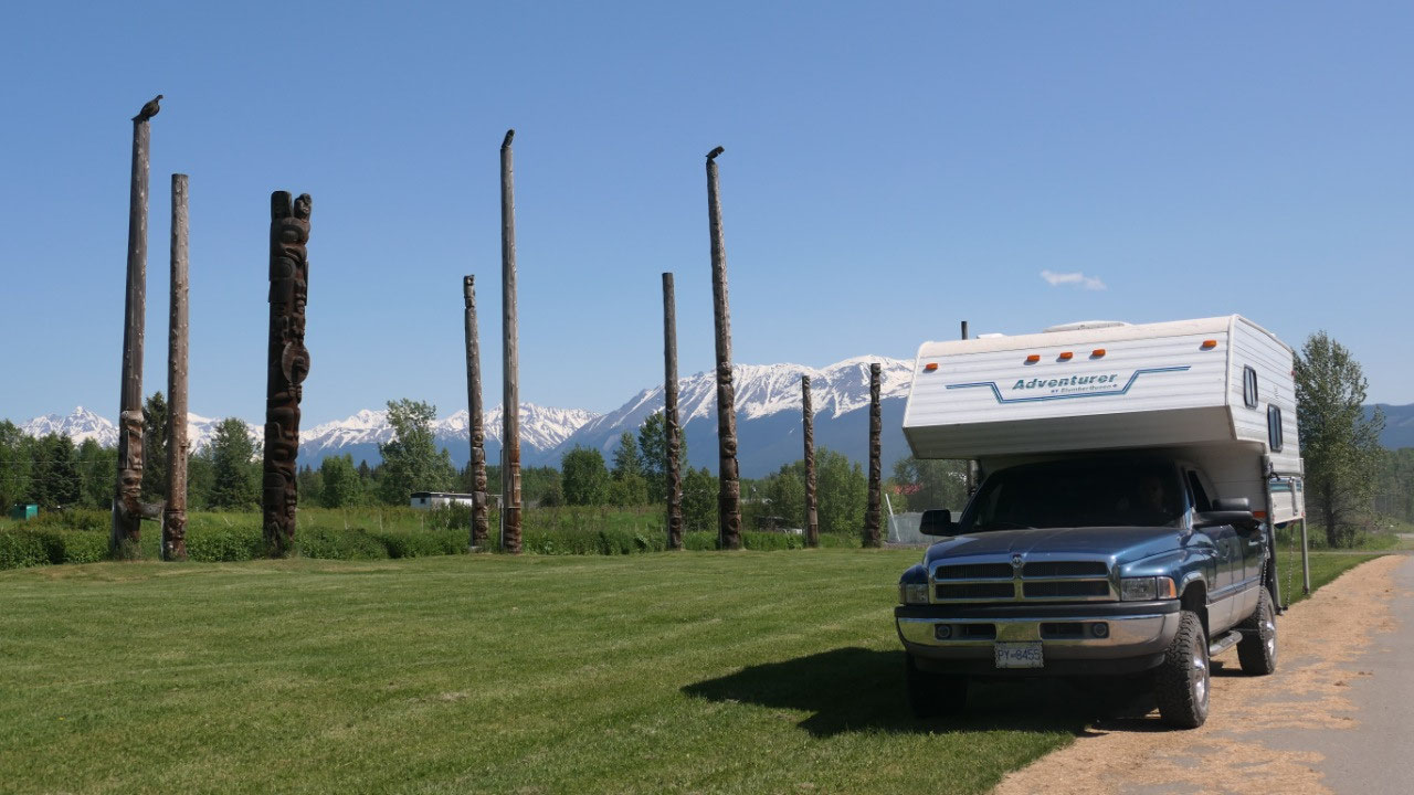
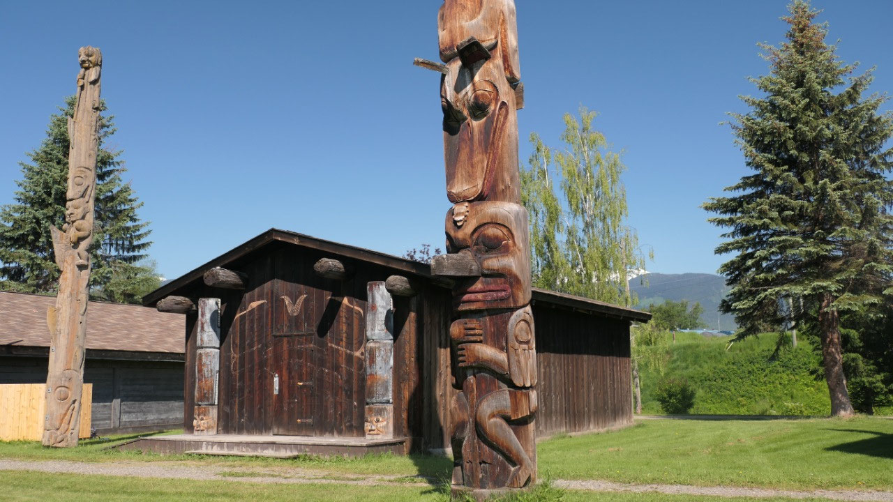
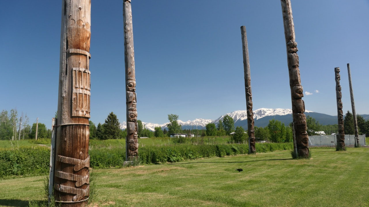
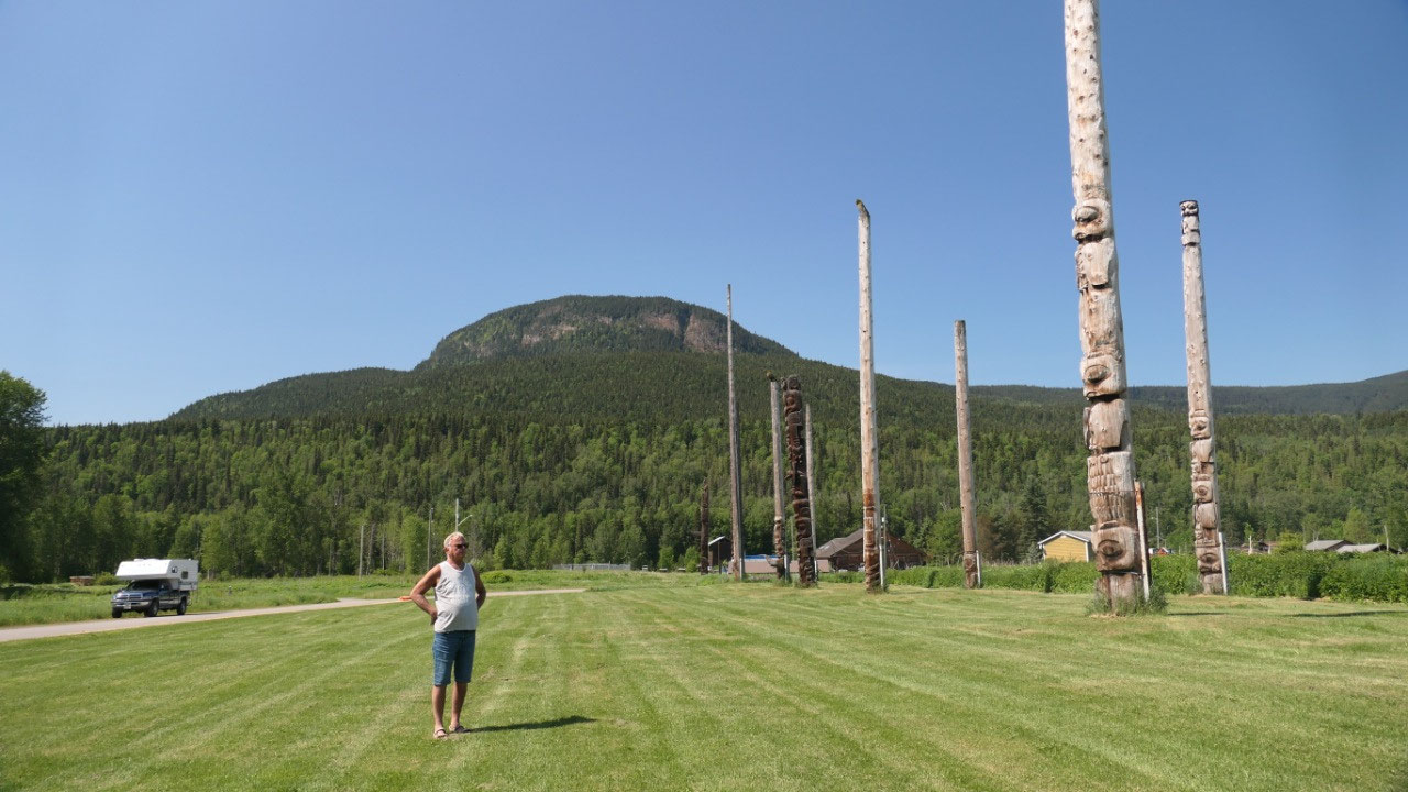
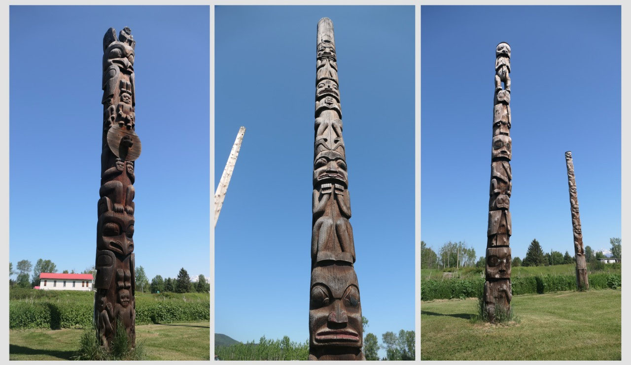
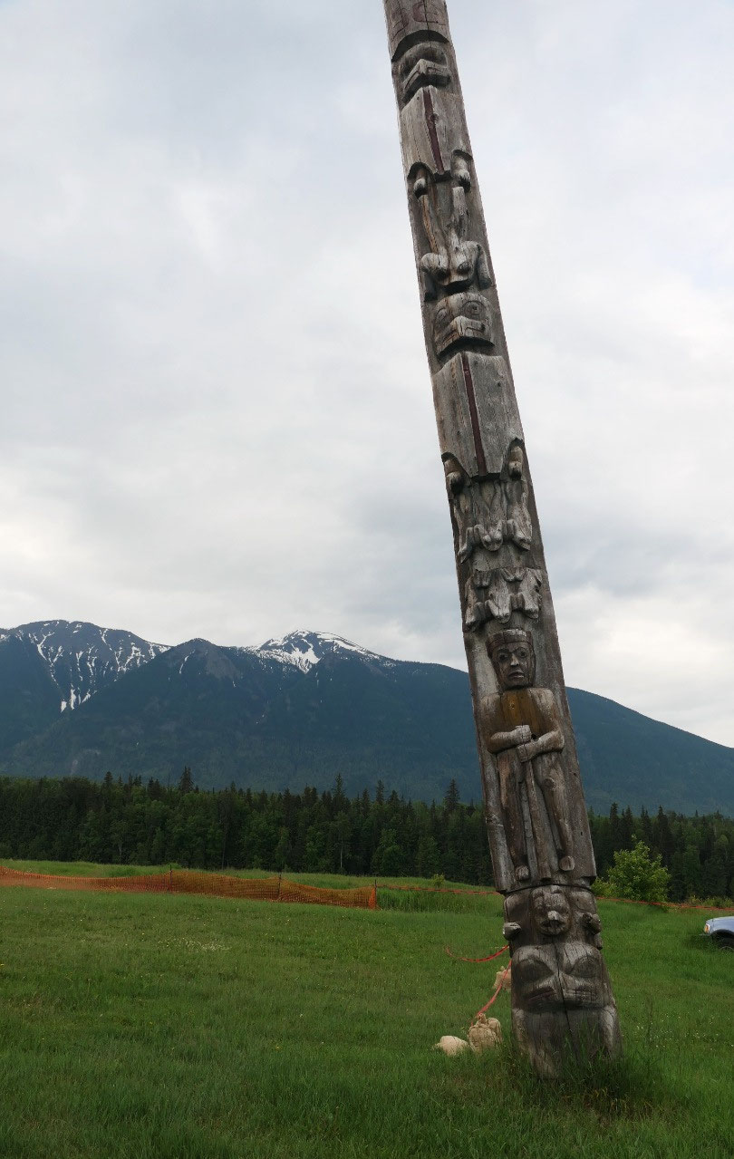
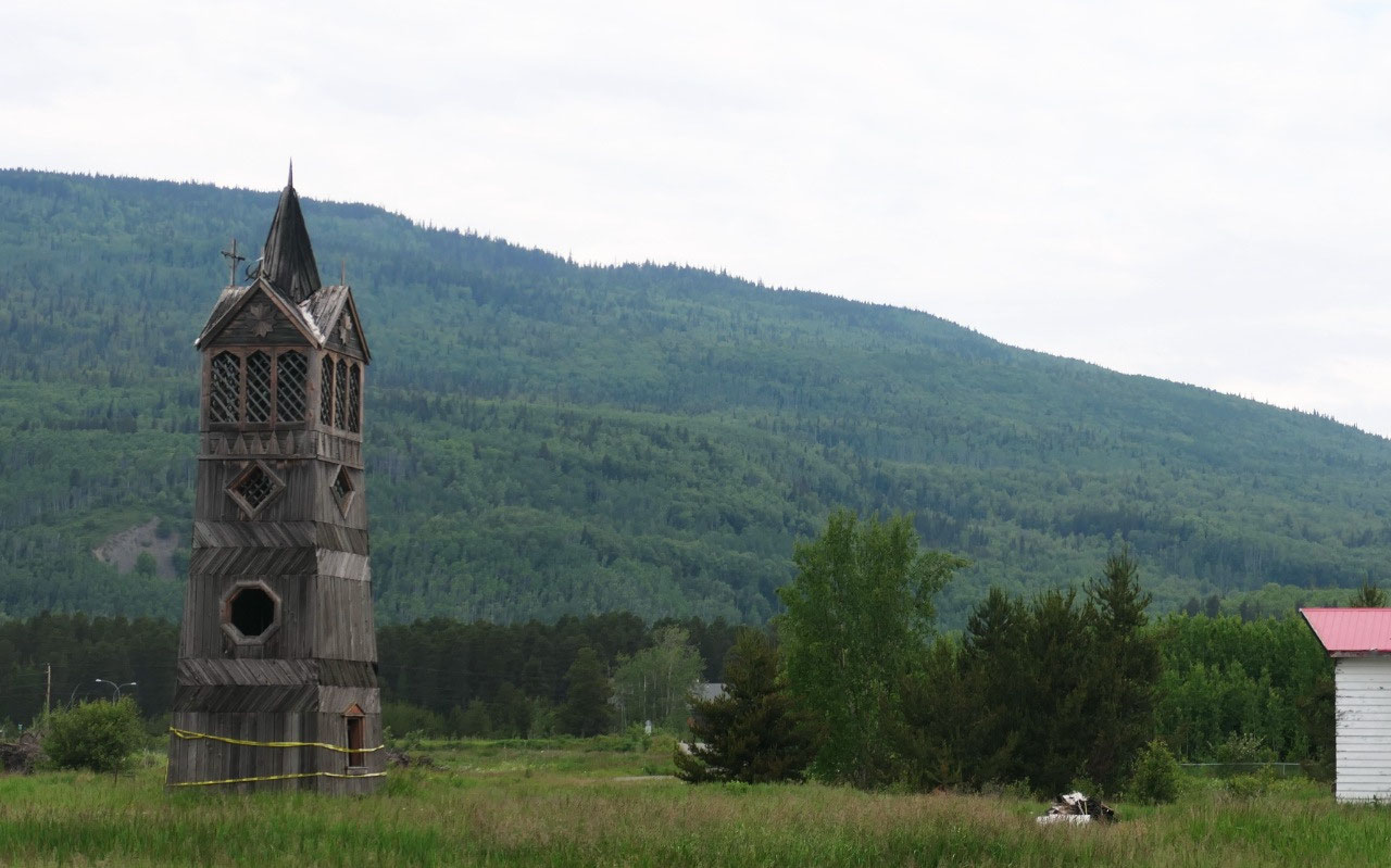
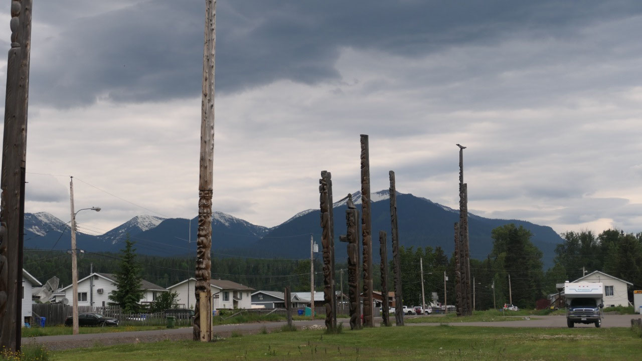
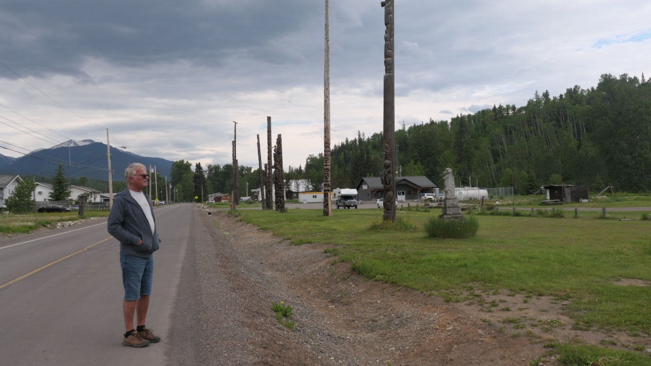
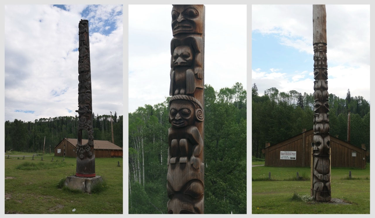
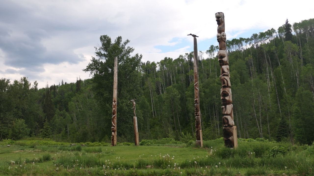
The Gigwanga totems
And then came the turnoff to the
Cassier Hwy 37 with the Petro Canada – the booklet said that there is a “north
to Alaska” sign, we didn’t see it and decided not to search for it, as we
didn’t know how old the booklet is. Right on the other side of the river we
drove by an old church tower from the Anglican church which got built in
1893. Shortly after we came to the
totems.
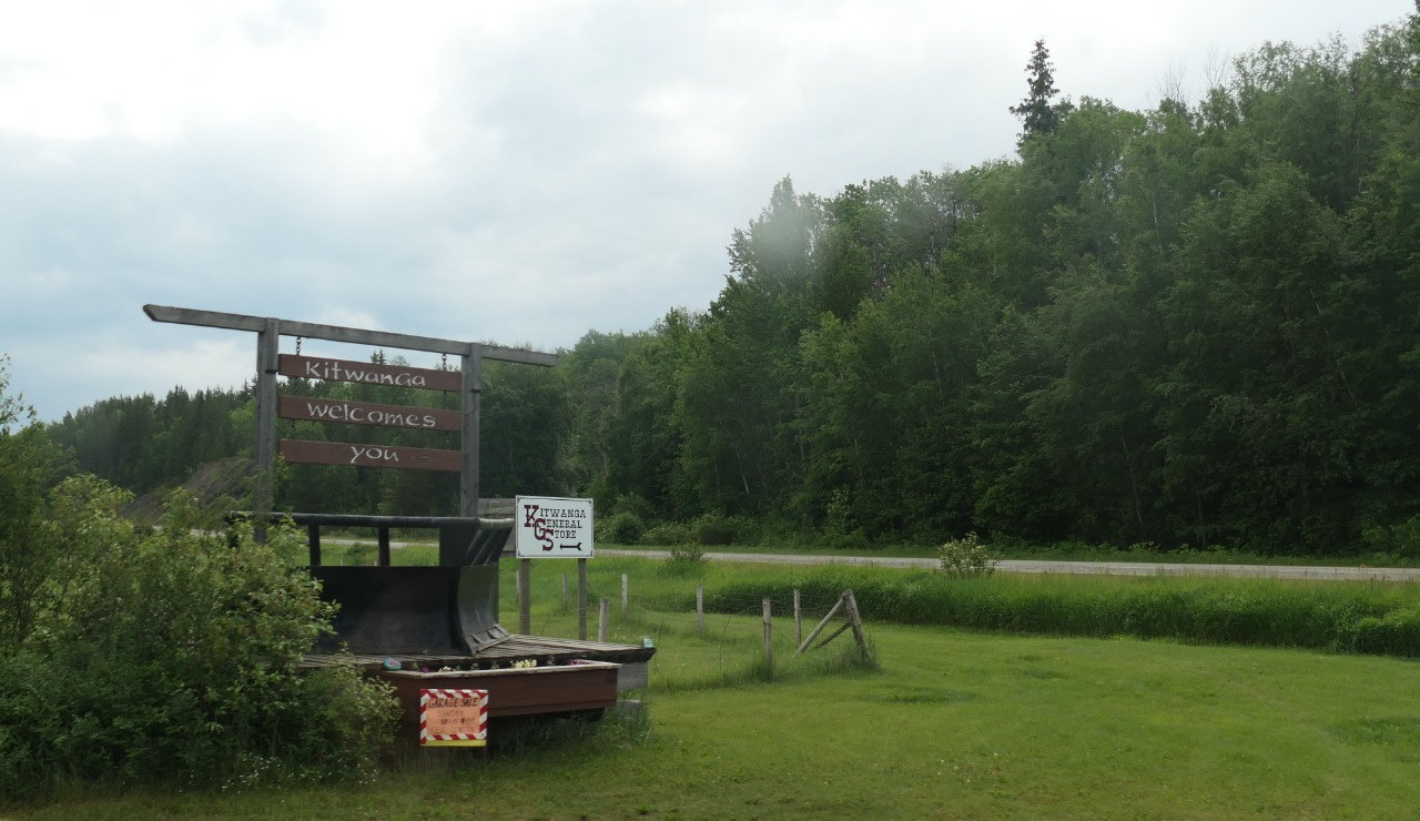
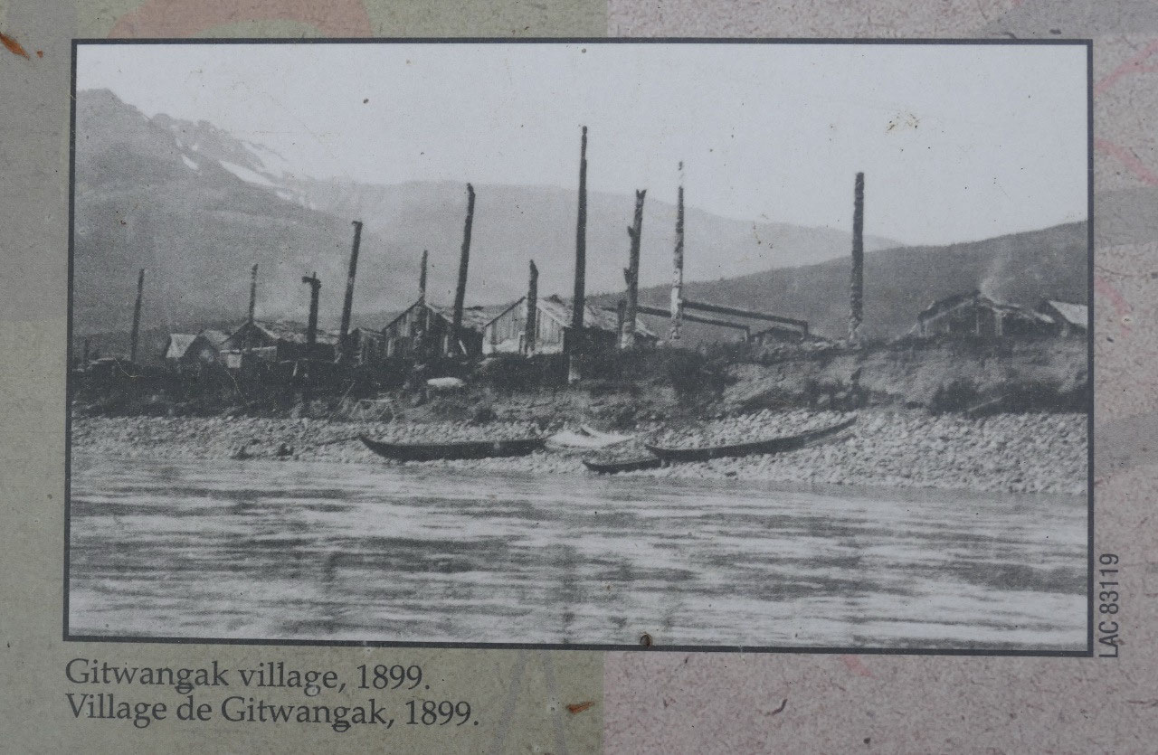
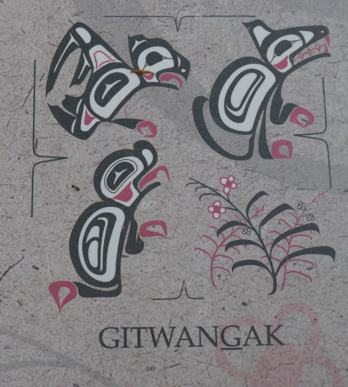
- Kitwanga means “place of the rabbit” and they were part of the Gitksen “people of the Skeena River”
- It is also an Gitxsan village – they moved here in 1835 from Battle hill: several clans came and you can see the story in the poles so you can look for the frog-raven (Gananda), Eagle (Laxskik), Wolf (Laxgibu) and the firewwek (Gisgast)
- If you look closly you may discover on the totem Nekt’s original move from Haida Fwai and his exploits around Battle Hill “the Man crushing log” – this totem is from 1905
- Interestingly they continued to put up the totem poles during potlaches in spite of the federal ban which lasted from 1874-1954
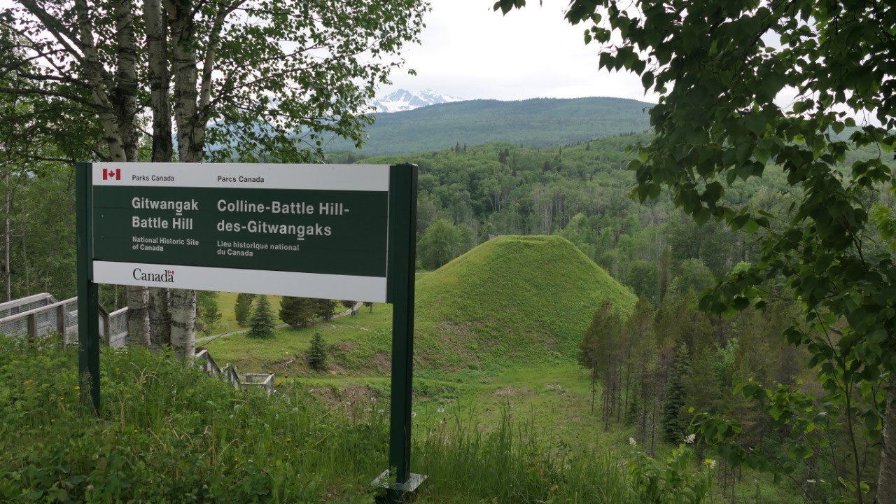
Breakfast at Kitwanga Fort Battle NHS
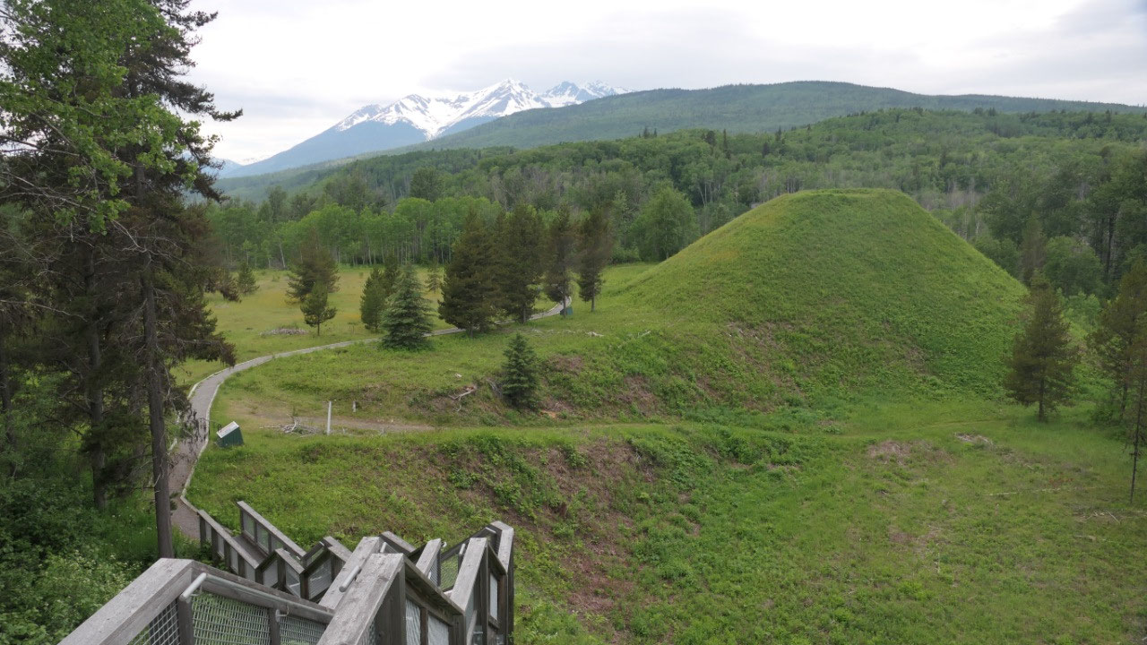
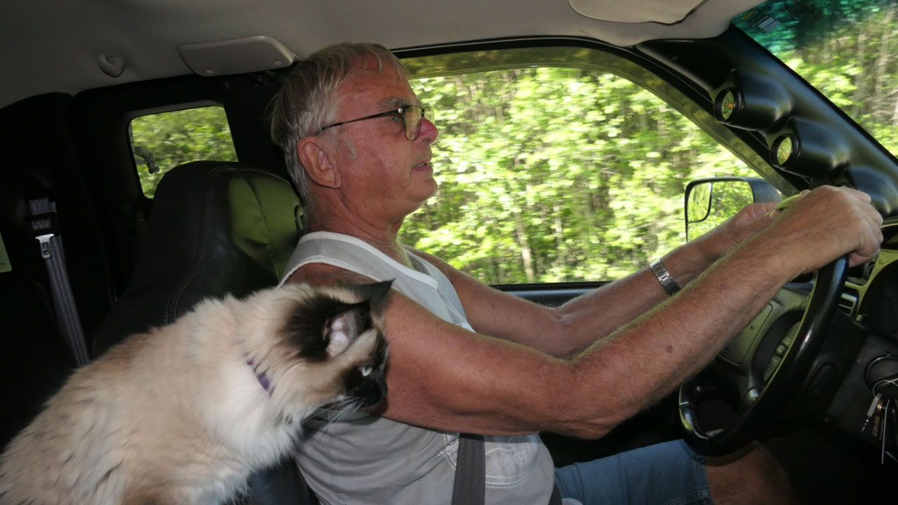
As we drove the short distance to here
– Mandy got really annoying, so we wondered if she needs to pie, as soon as we
arrived at the parking area we let her in the back and I think the only problem
was that she wanted to go outside and explore and was bored.
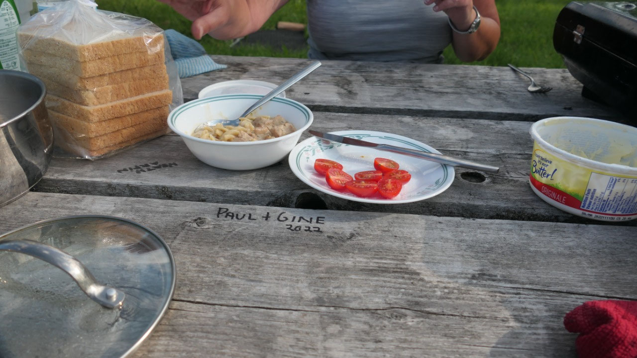
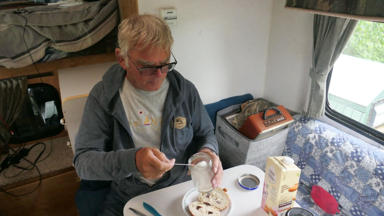
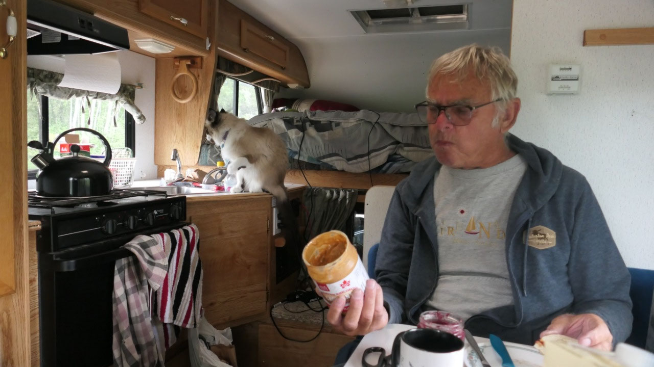
Breakfast first: Yummy German Pretzels
with ham and cheese. After it we started to read a bit about the history – as
per Paul he saw the hill from the parking lot and enjoyed the view from up
here, so Gine went down the steps and up on the hill to read a bit more and
enjoy the views from the Battle Hill.
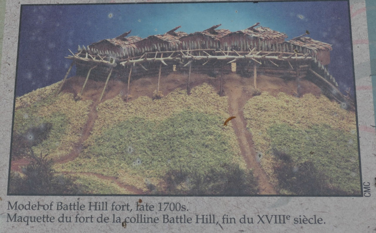
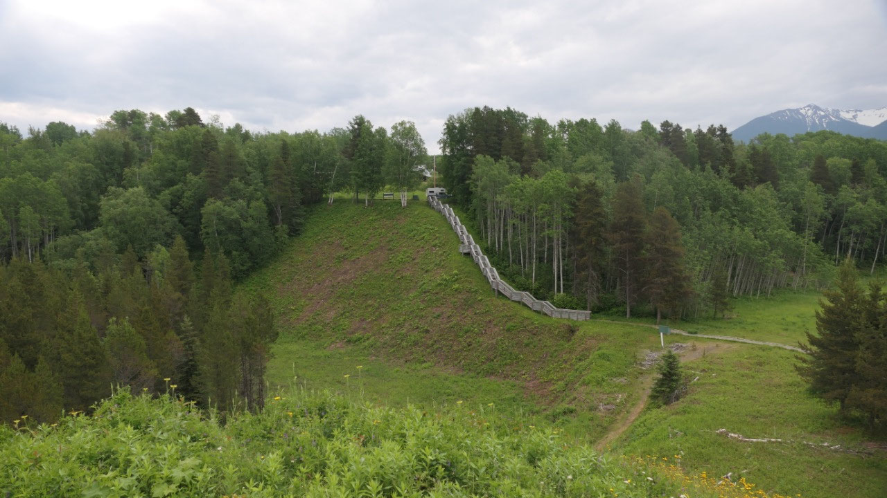
- It’s also called “Daa’ootsip” meaning “fortigied village” or Battle hill: the hill is all what is left, before there was a palisade an a 5-cedar log house (they had a painting so we could see) – it got burned down after a tribal war in 1835 (that is when the people moved to Gigwanga – this stronghold was used for likely around 100 years
- By the way all information known is from an elder Chief Lelt in 1979 and from excavations at the site in the same year
- The hill is a steep sided bedrock outcrop 20m tall, 80m wide at the base and 40m wide at the top, archaeological digs discovered that each house was 11 x 8 m and that the 2 houses on either end were built over the edge on stilts.
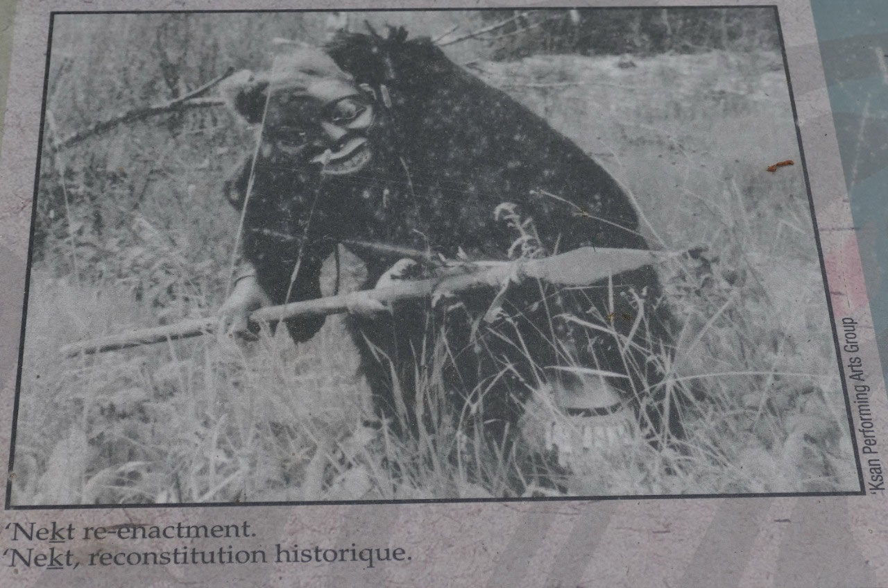
- The hill is famous because of the Warrior Chief Nekt used Battle hill as a base to make raids into the Nass Valley n the late 1700s and the coastal people for food, slaves and it was along the major trade trail Kitwankul or Grease trail a 60 km trade route between the Skeena and Nass rivers went in sight of Battle Hill . He defended the Battle hill with a huge palisade walls and fastened them with cedar ropes. By the way in 1924 a descendant of Nekt put on his grizzly robe and posed it in front of a pole
- Nekt wore an armour made of a grizzly bear hide with pieces of slate glued to the inside, which made him almost invincible to traditional weapons, he carried the magic club ki’laa “stike-only-once”. Twice warriors tried to seek revenge and attacked Battle hill and Nekt released spiked logs which rolled down and crushed the attackers. But still he got defeated when an arrow struck his leg and he got beheaded. After his death peace returned to the area
- The Gitwanga were in conflicts with their neighbours and wars were fought with the coastal tribes: the Kitamaat, Tsimshian, Haida and Nisga’a – most of it were done for revenge
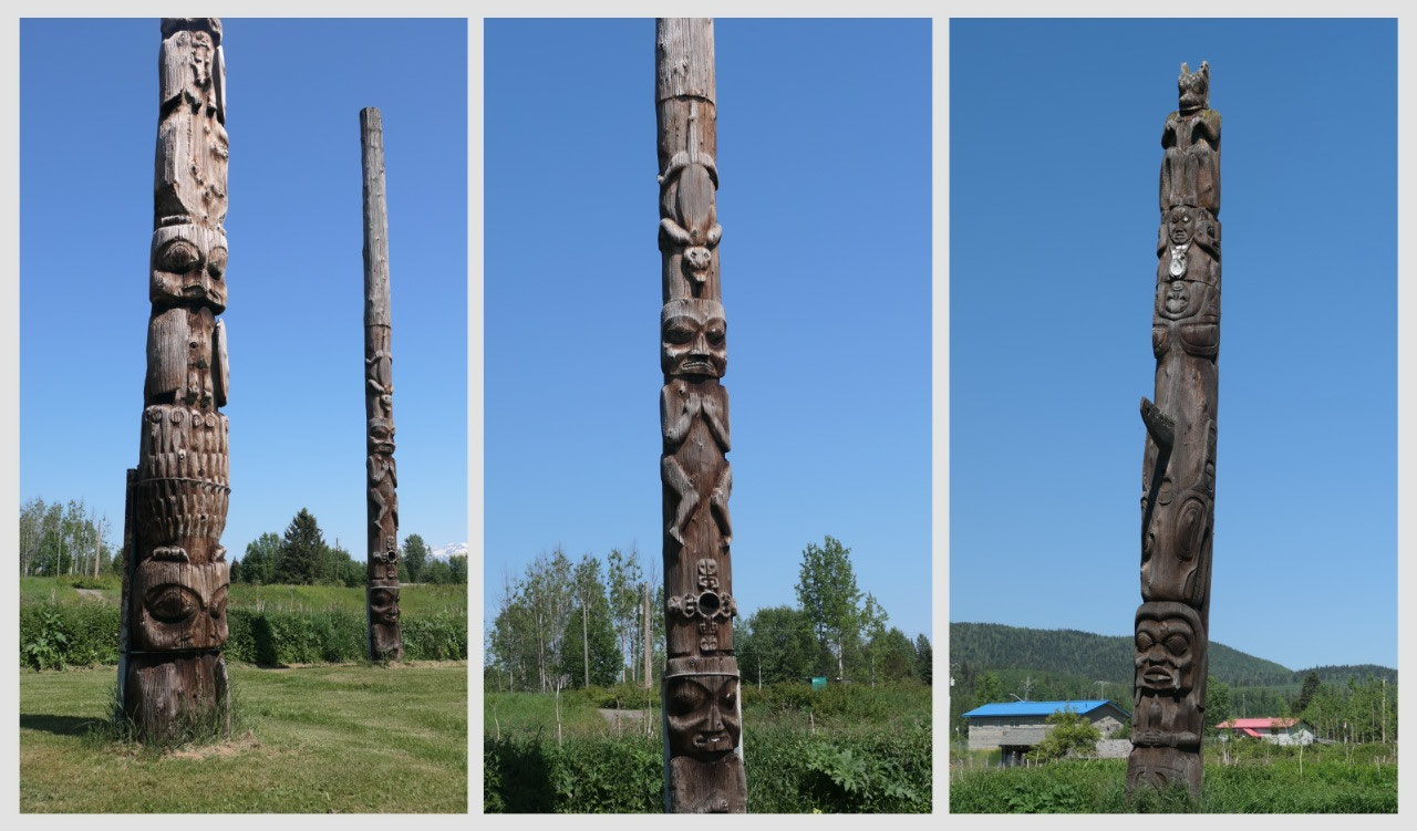
Totems in Gitanyow
And this will be our last stop in the
land of the totems. After we turned off and drove into the town – I mean we
literally knew that this is a First Nations Village. And you can’t miss them as
they are right along the main road. Here we also met a couple from the
Netherlands – I find it very cool, that they travel in such a remote area.
After admiring all those cool poles here – some are actually fairly new we had
a sneak peak into the museum through the closed door and a super cool metal
door.
- This is a native village and Gitanyow means “place of many people” and then it got renamed “kitwancool” meaning “place of reduced numbers” – after many people were killed by other tribes
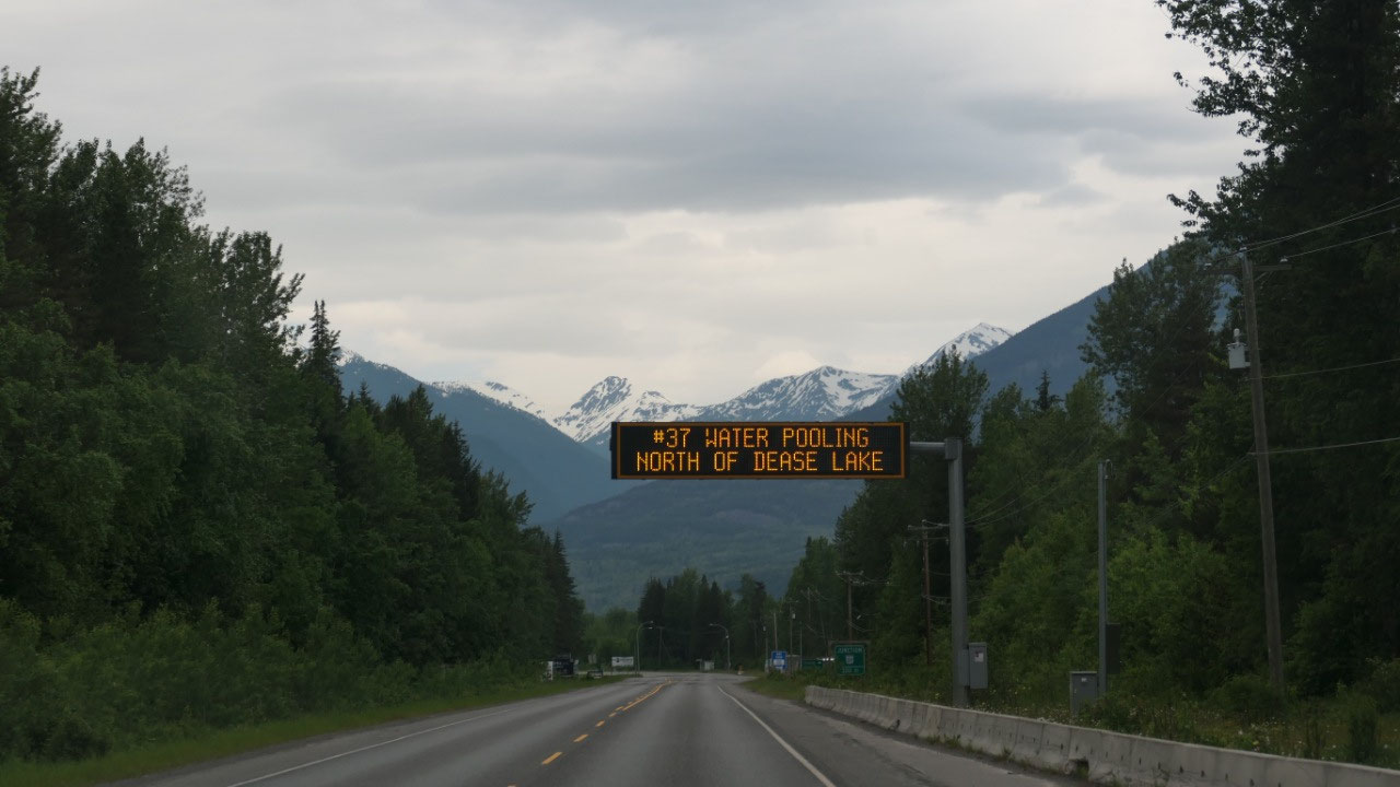
And now we are leaving north on the
Cassiar Highway


2025-05-22