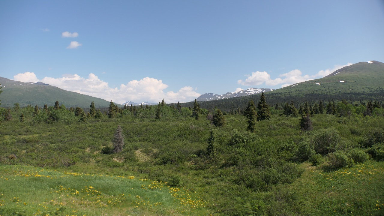
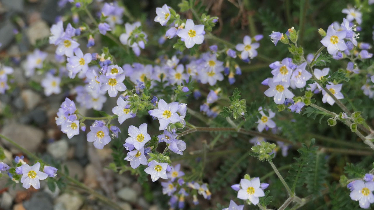
 Dezadeash Lake, Yukon, Canada
Haines Hwy – Dezadeach Lake
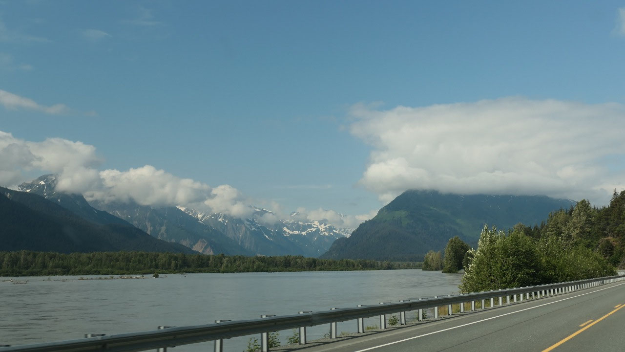
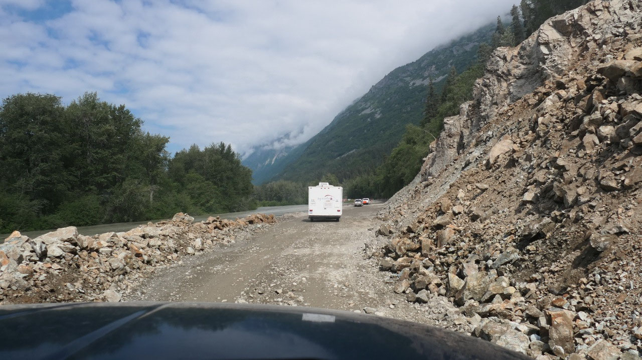
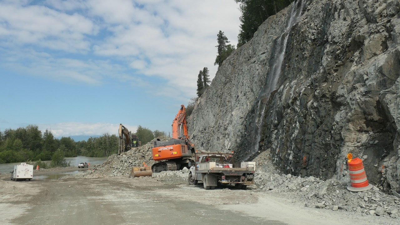
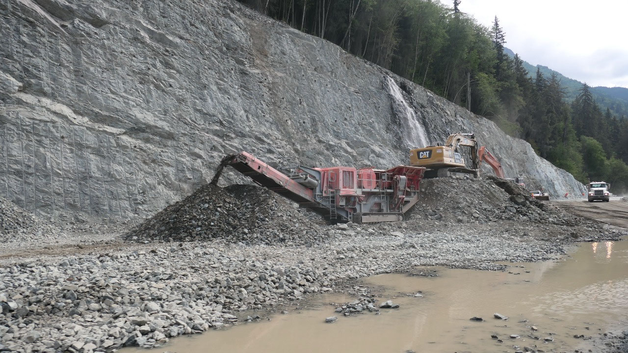
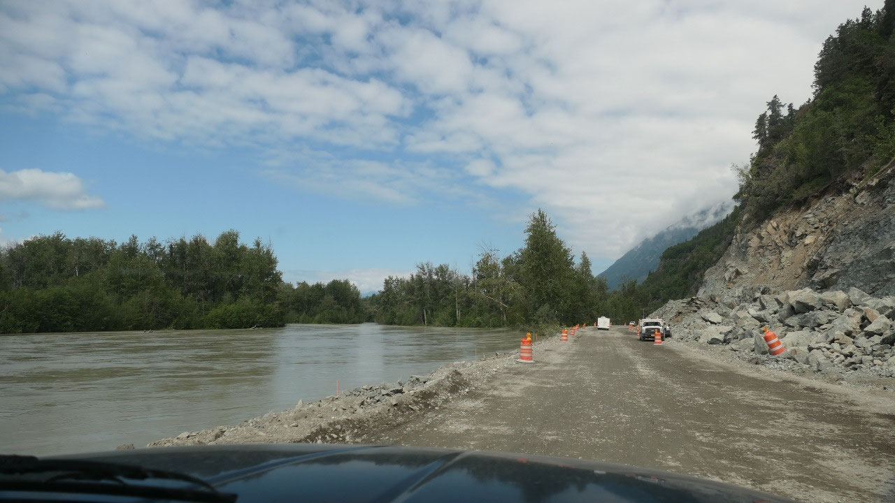
A flooded road with constructions
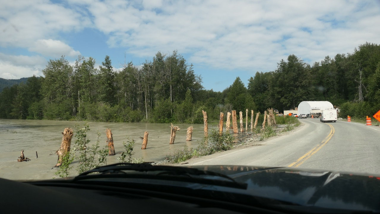
As we leave Haines, we soon came by a
sign stating “Highway flooded” as there is no sign it is closed, we continue on
and soon come to the construction site. Ok so we drive for several km behind a
pilot car and it looks like they are blasting in the morning and slowly
starting to fill up the road and make it higher, at some points the water is
nearly on the highway – lucky for us, nothing is flooded today (otherwise it
likely would be closed). It was amazing to see on what they are all doing, at
one point we even saw the machines driving through the water as everything is
flooded. And then we come to the brand-new part of the highway – it’s like
driving on top of a dam and looking down.
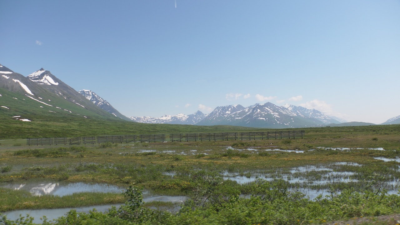
The eagles are not around
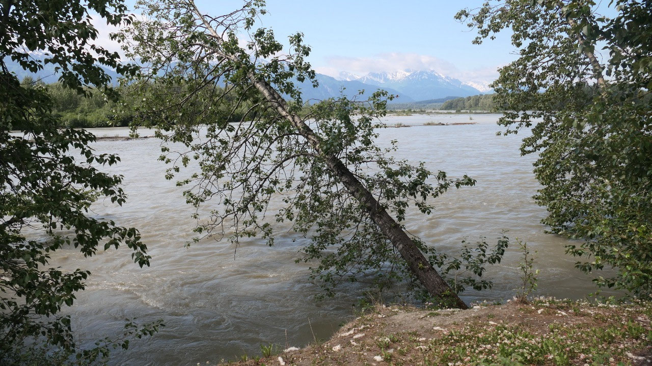
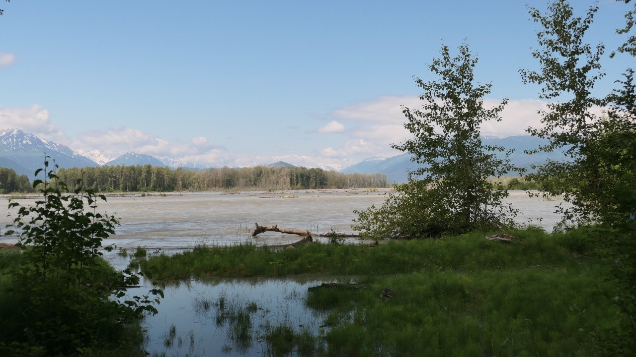
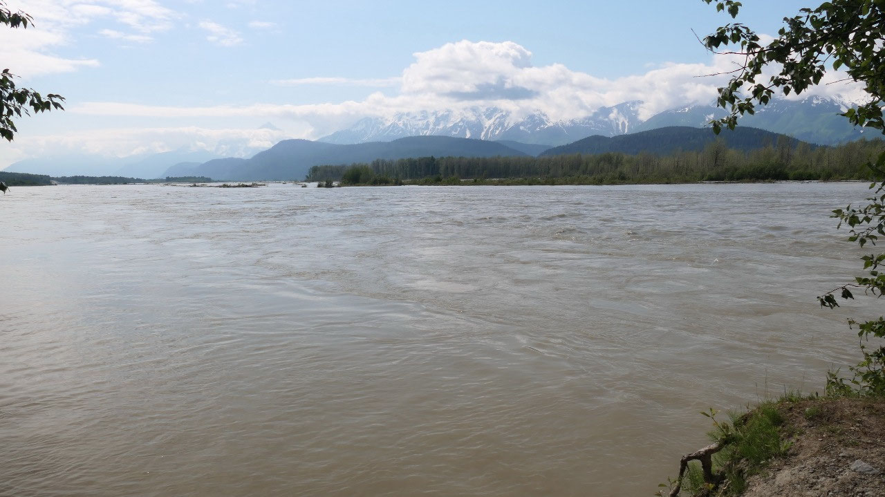
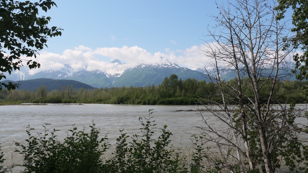
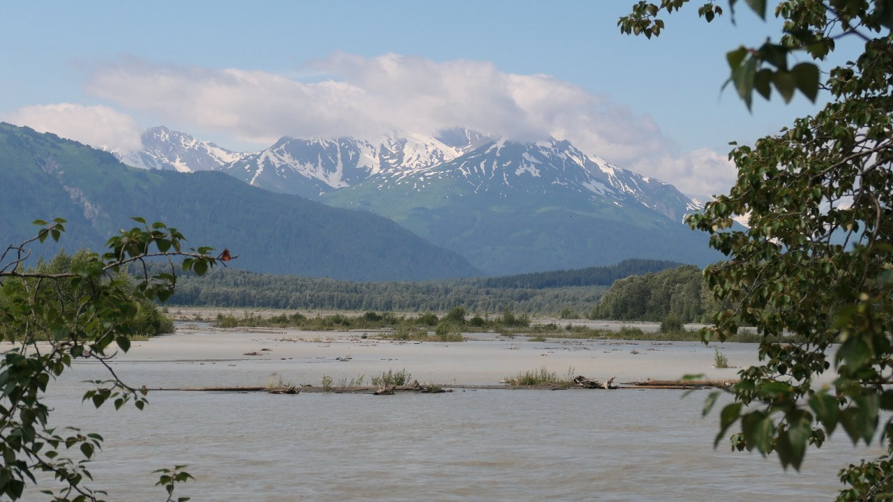
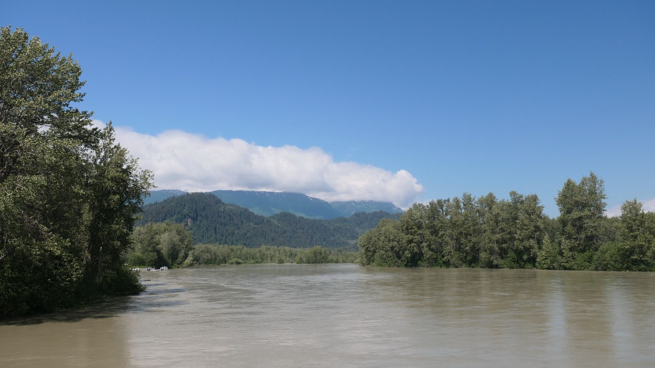
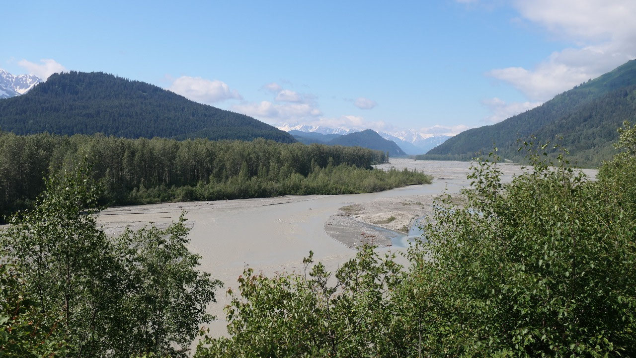
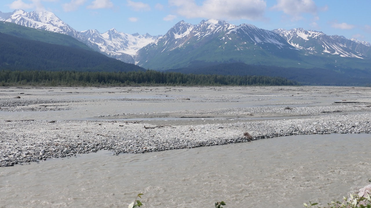
We drove so far along the Chilkat
river: actually, it looks more like a lake because it is so wide, and as we go
along we can see how fast flowing it is and also with the same greenish looking
color. We stop at the Eagles Preserve but couldn’t see the eagles, and then we
read that they are here over winter – guess we won’t be here then. The views on
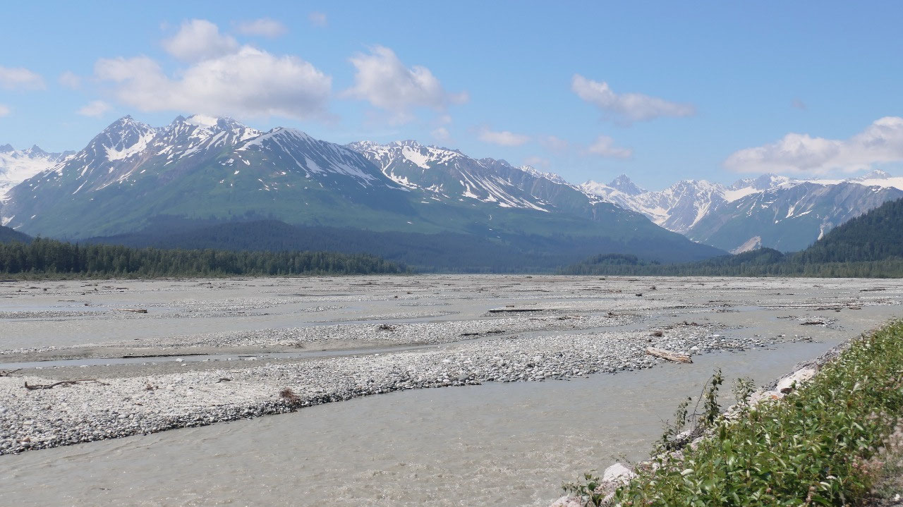
the river were amazing. ontinuing along the river and at some spots it didn’t
even look like that there is a lot of water, as we saw lots of pebbles – really
beautiful. I may should mention that by now the sun came out and we had the
perfect weather for a gorgeous drive.
- This preserve is home to 3500 bald eagles which gather here each year to feed on the late salmon run from Oct – Jan (really who comes here in the winter)
- By the way bald eagles are not bald: as they mature their heads turn white – which makes them appear bald
- And we learned that we are not looking at different eagles, but at different stages in an eagle's life: less than one year they are black, then slowly in the 2n3 and 3rd year they get whiter in their belly, once they reach the age of four their heads turn white – some need six years to have the typical bald eagle appearance.
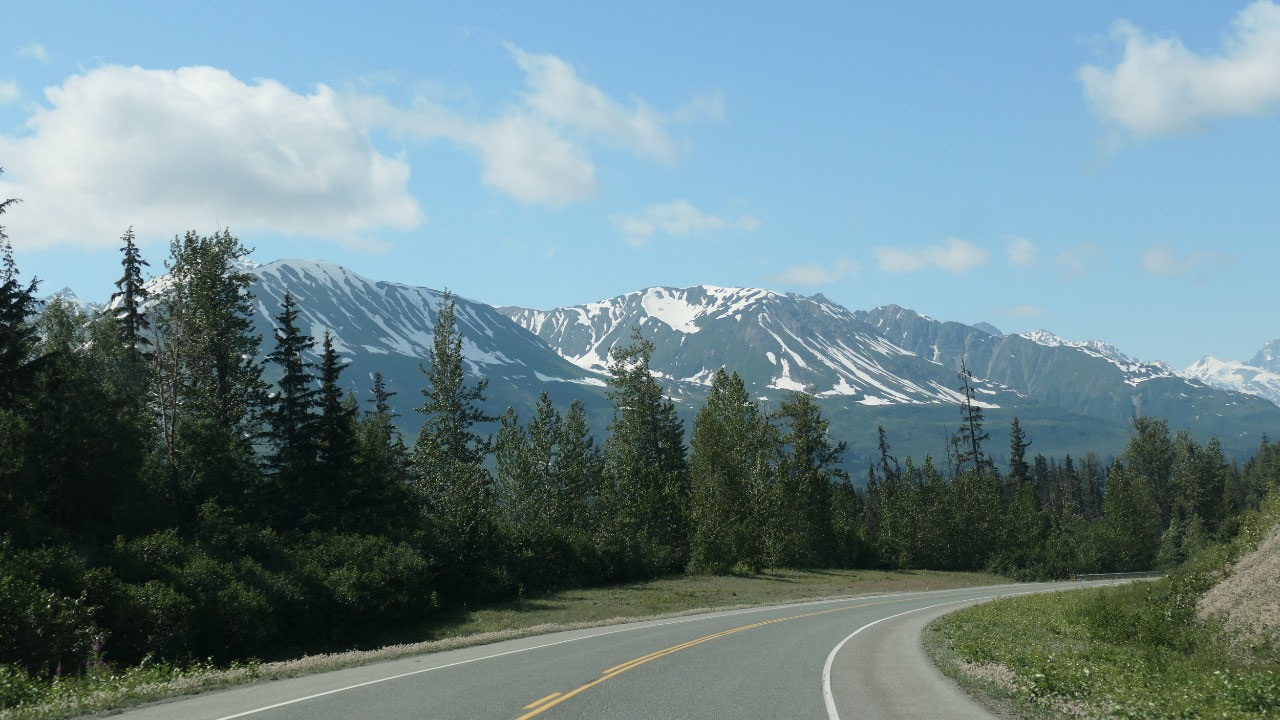
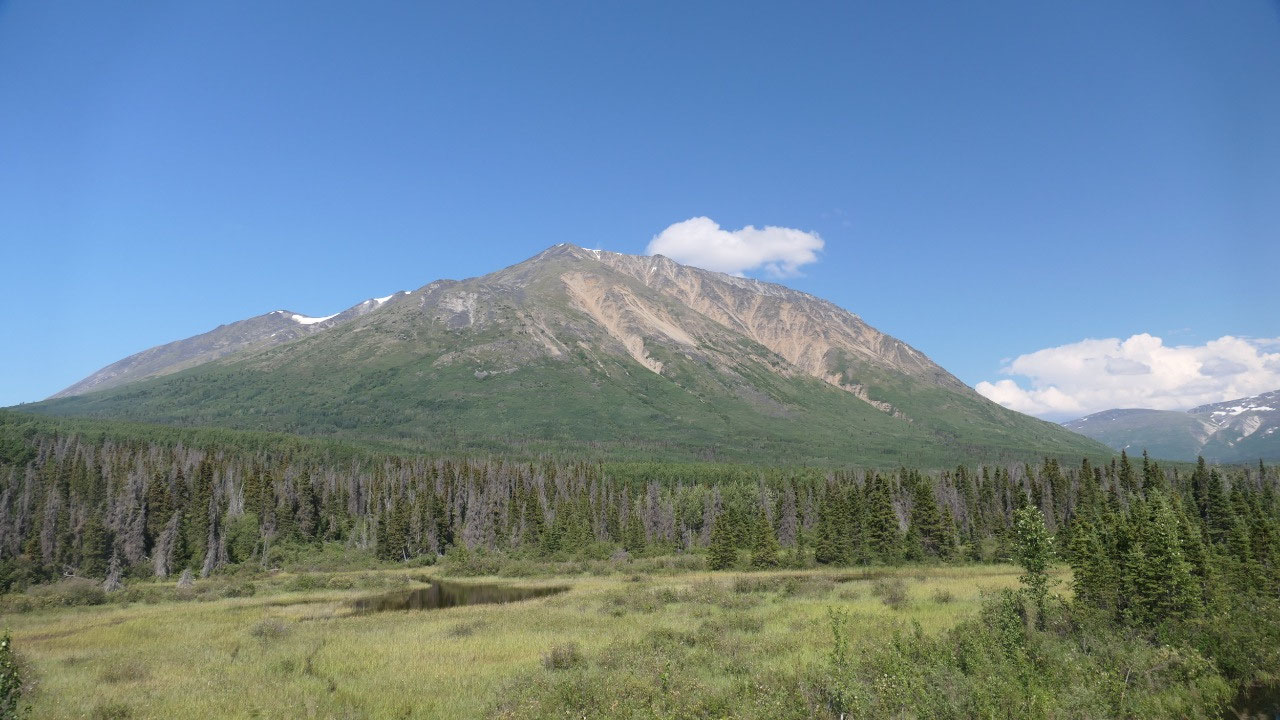
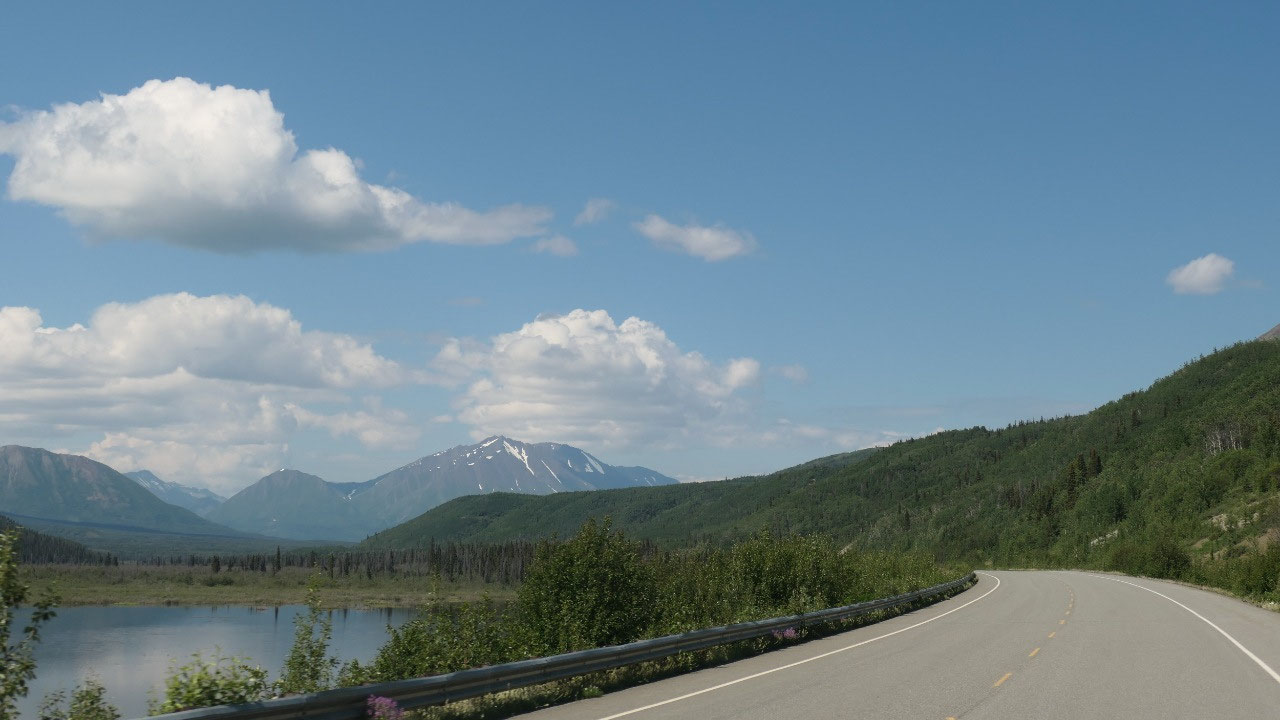
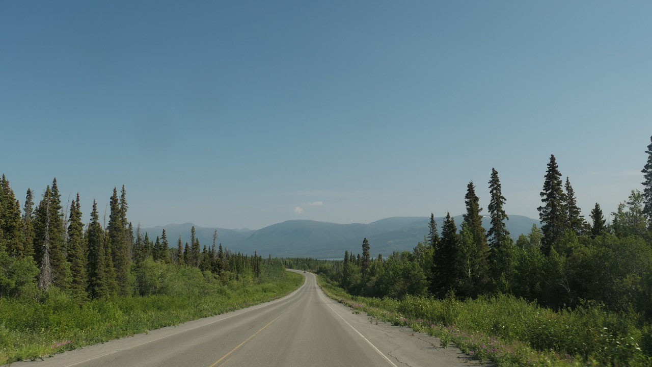
One of the most beautiful highways:
the Haines Hwy
- They say it is one of the most spectacular drives in North Amerika
- They call it the golden circle: Haines Hwy – Haines Junction – Whitehorse- Klondike Highway – Skagway
- It’s 247 km long and follows the trails used by the Chilkat and Tlingit First Nations
- It was originally called the Grease Trail as the main thing was the crude oil from the candle fish found in the ocean near Haines
- Jack Dalton improved the trail in 1882/83 and established several trade posts and it was then called the Dalton Trail and led to Fort Selkirk/Yukon
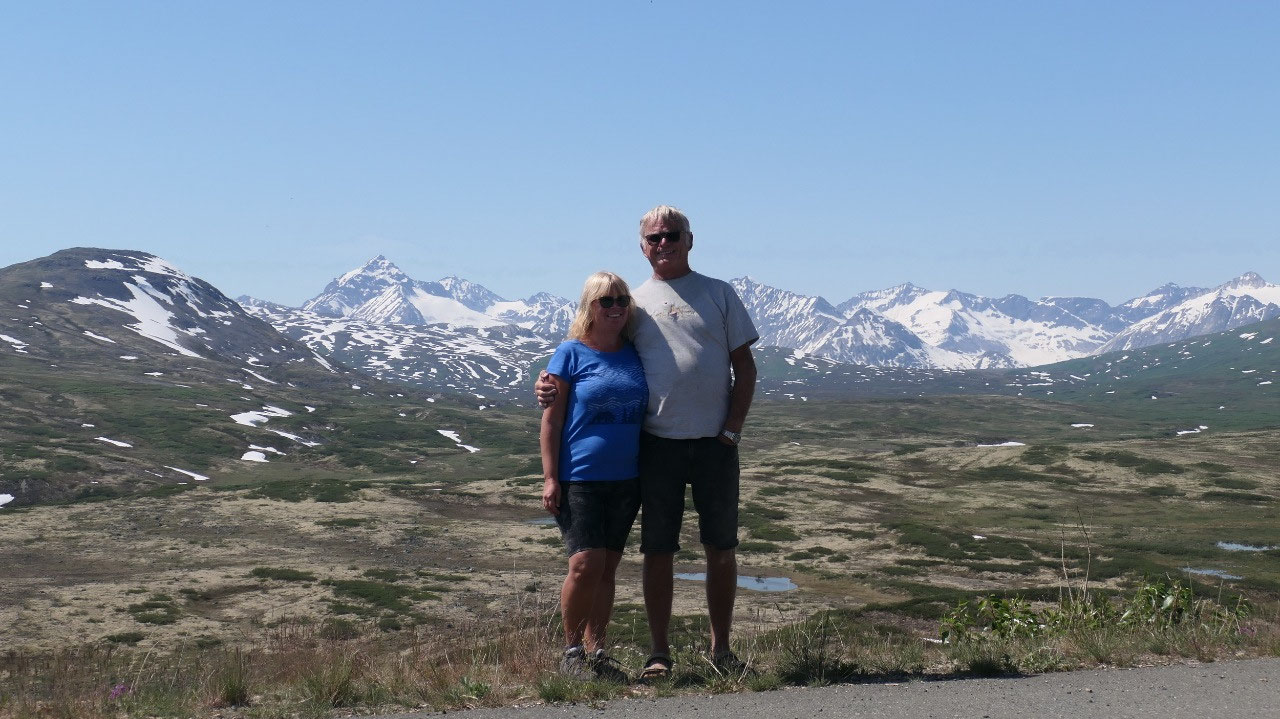
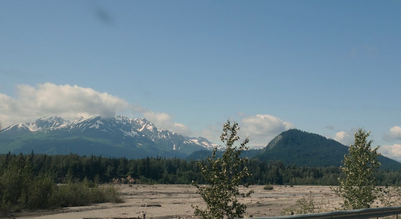
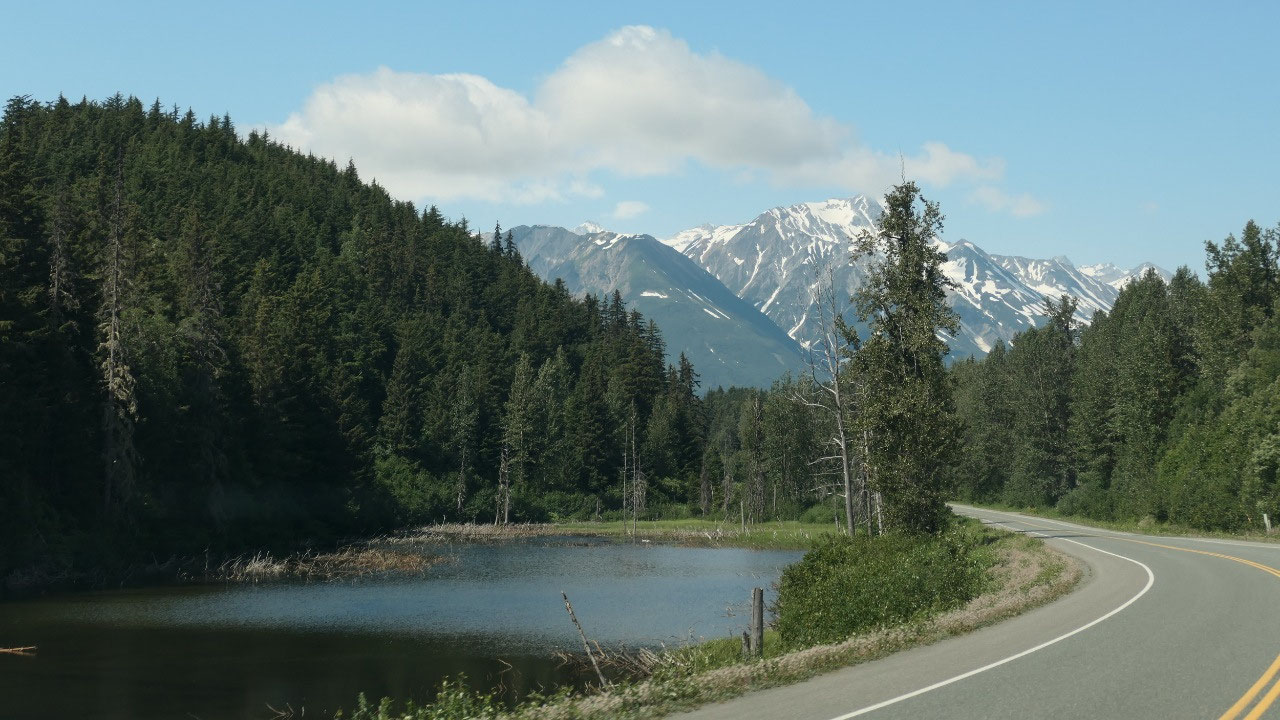
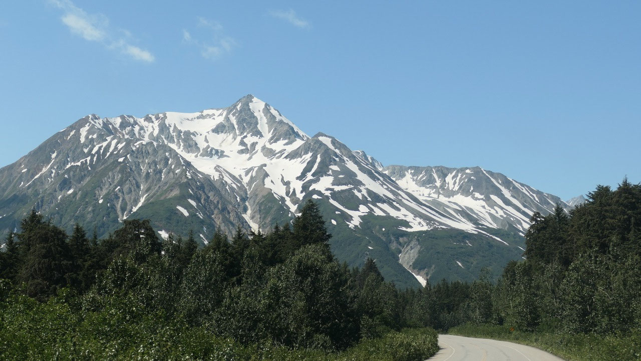
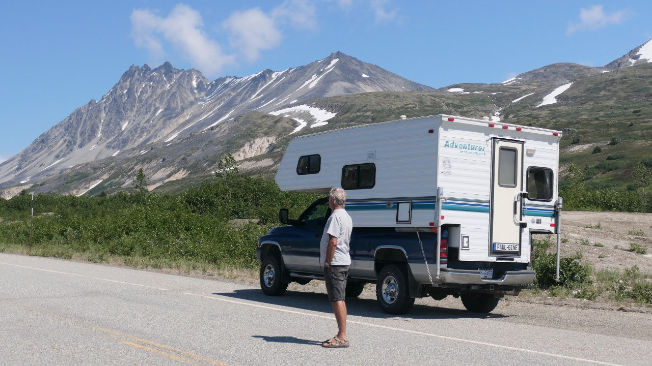
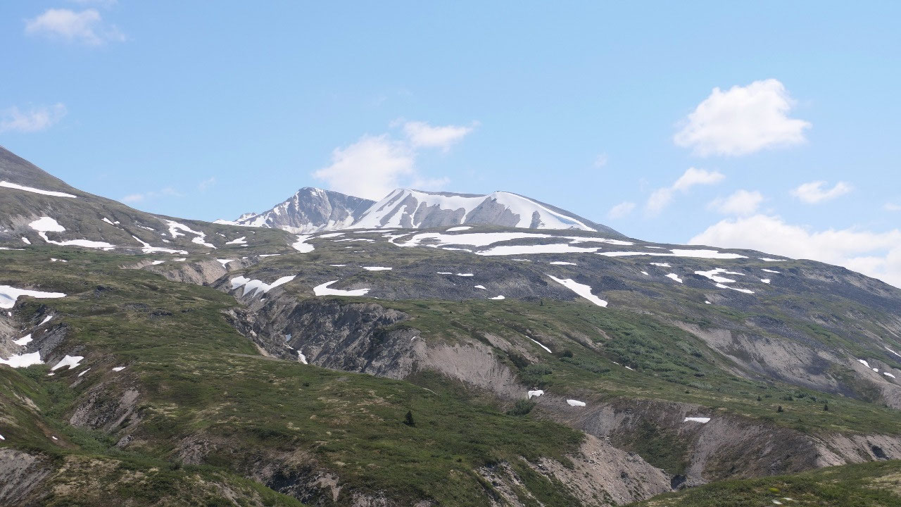
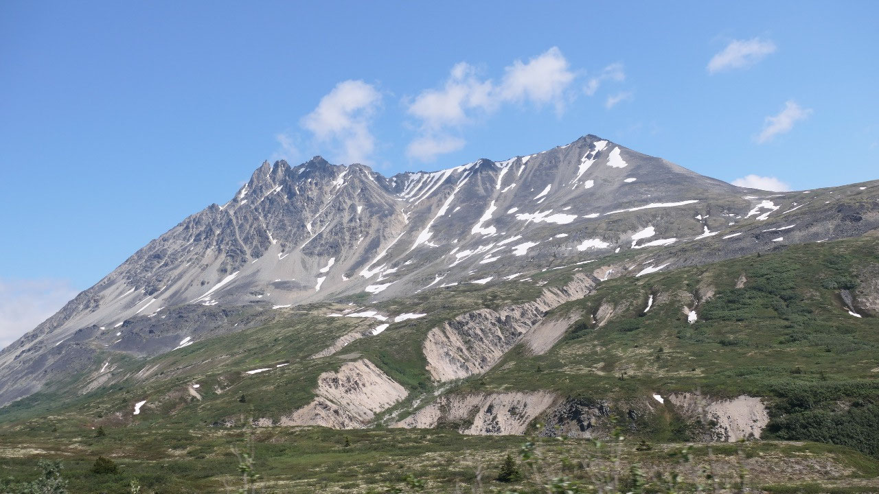
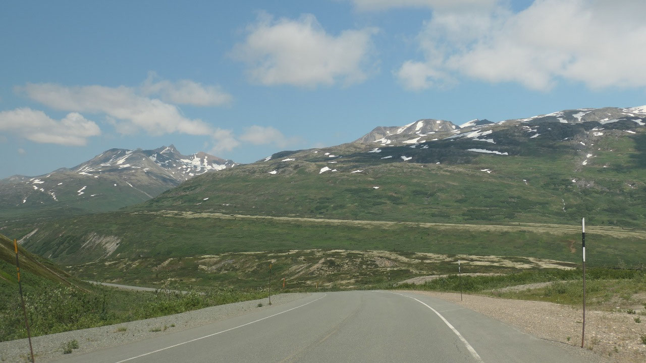
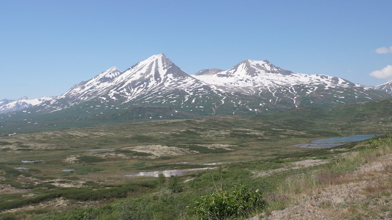
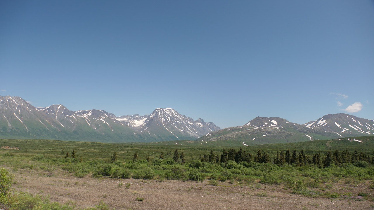
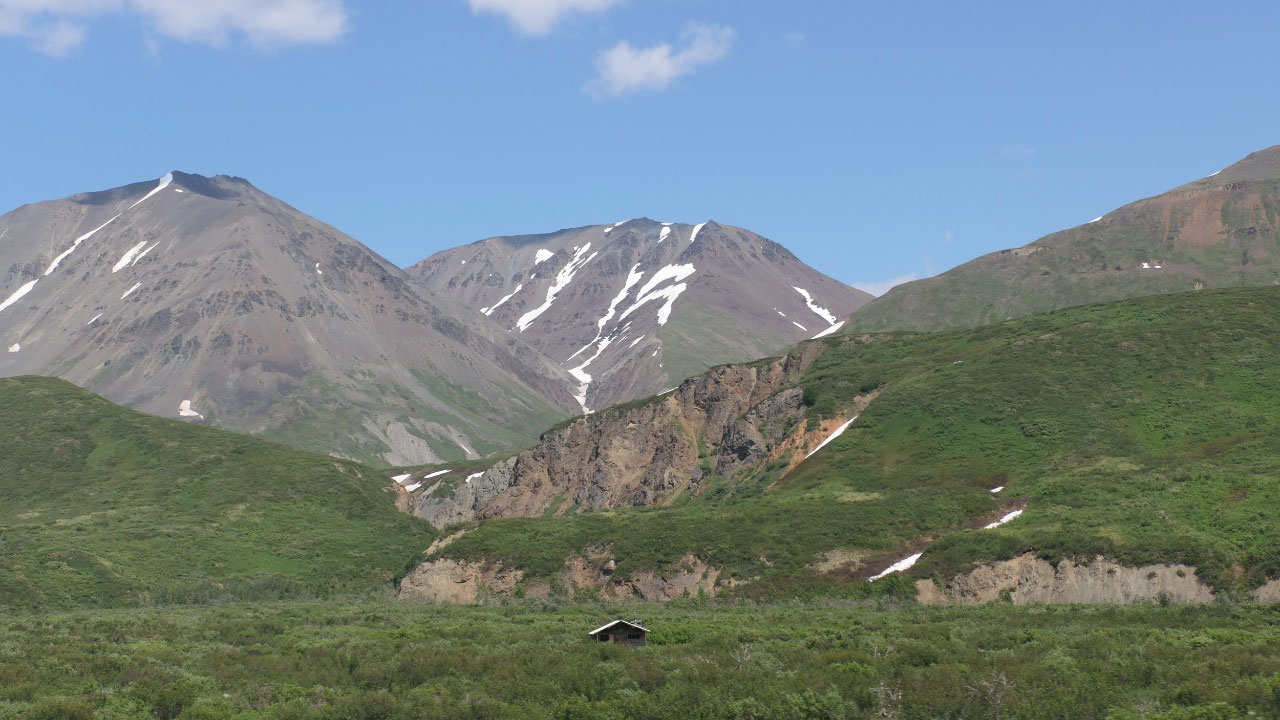
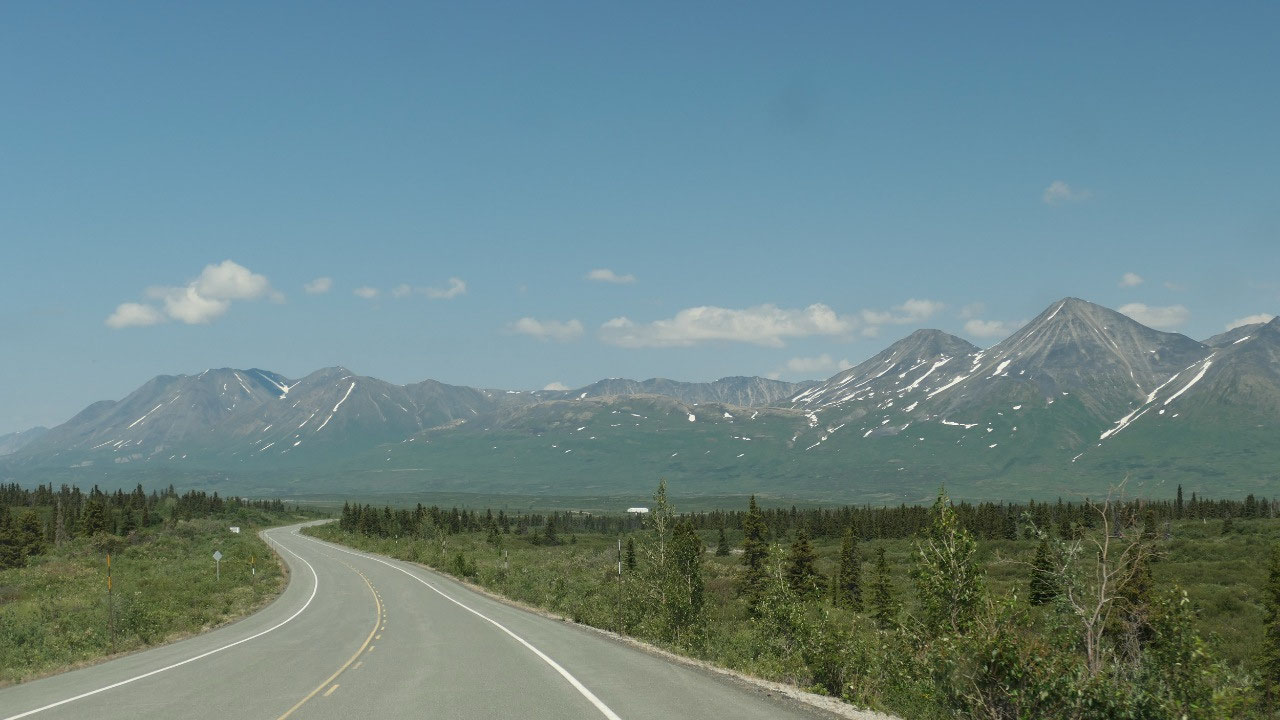
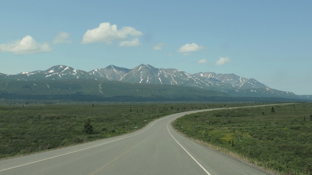
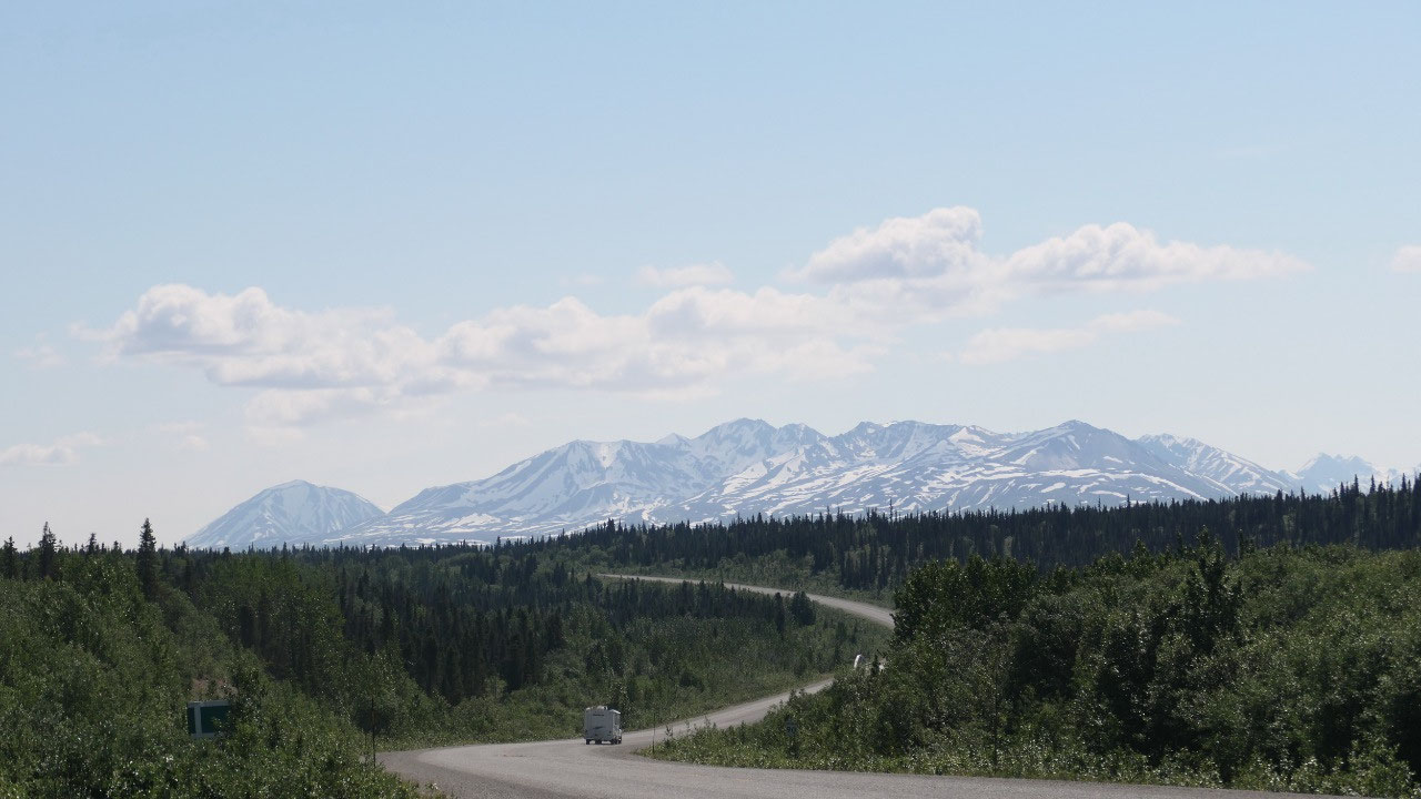
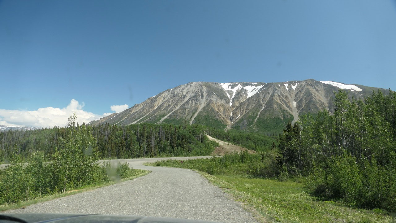
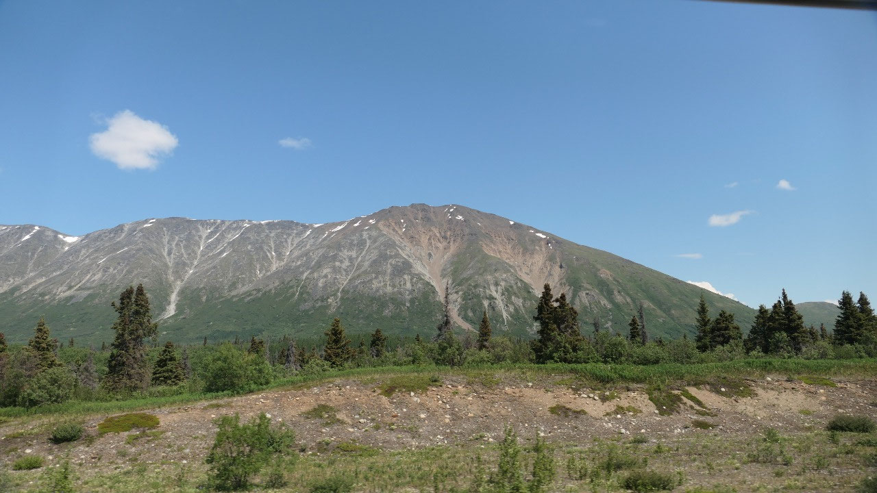
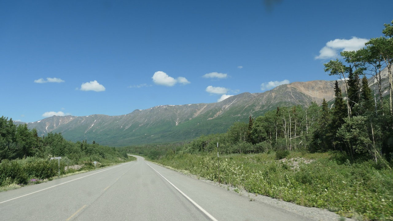
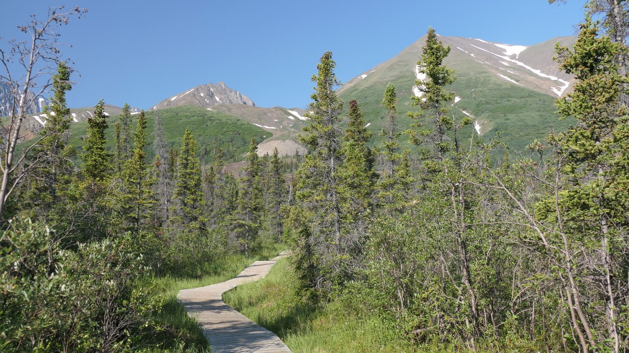
Scenic Driving
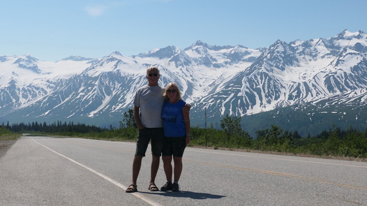
And as we continue on towards the
border we can see the snow-capped mountains – regardless on which road we drive
and where we at, it is always so beautiful – and always a bit different. Paul
did had to stop at one point, so Gine could admire the wonderful glaciers. We
also should mention, we learned one thing on our trip north: they have here
once in a while a sign with a camera for a viewpoint: whenever you stop you can
see the trees but not the view – as the views are either before or after the
viewpoint but in 99% not at the viewpoint (maybe we should let them know to cut
the trees in front of the viewpoint, so you actually have a view!!!)
And every time we do scenic driving as
per Gine Paul drives to fast and doesn’t stop often enough – as per Paul we
stop often enough and we do drive already slow – now the big question is who is
right!!!
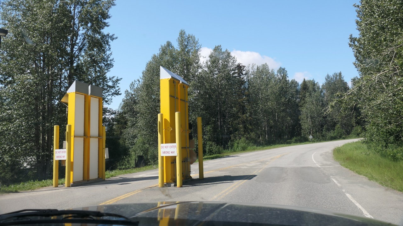
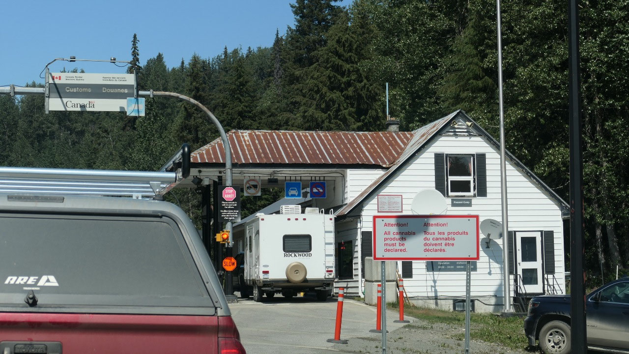
The American Border was super easy
since no-one was around. Once the Canadian border came we had to wait and stand
in line – no it doesn’t go fast. Answering a lot questions and hes we did the
Arrive Can App and then they took the passports and we are finally on our way
again. And let’s not forget we moved an hour ahead!!!
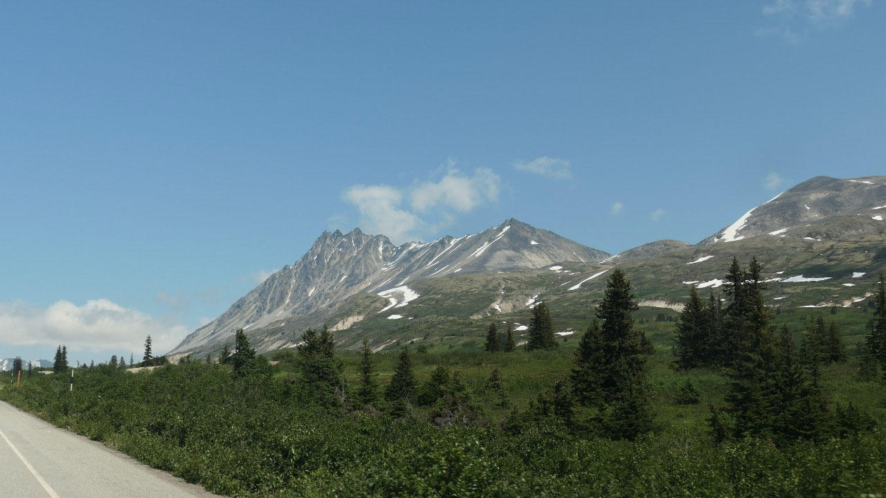
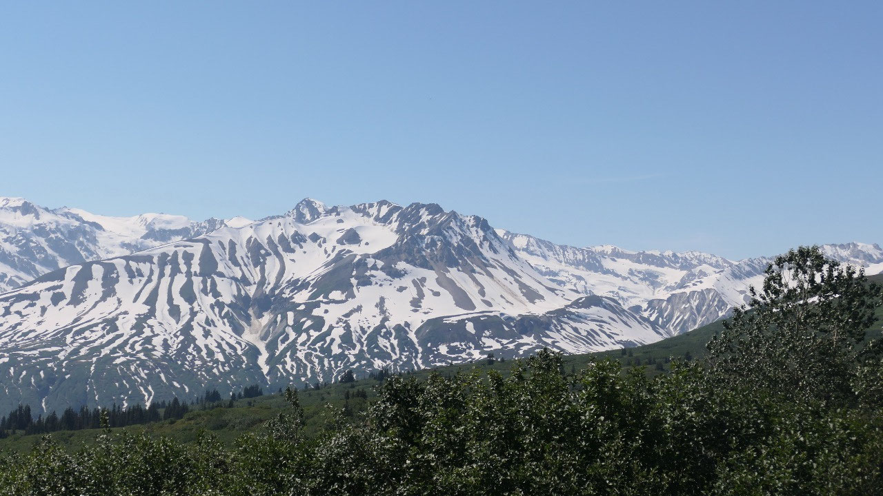
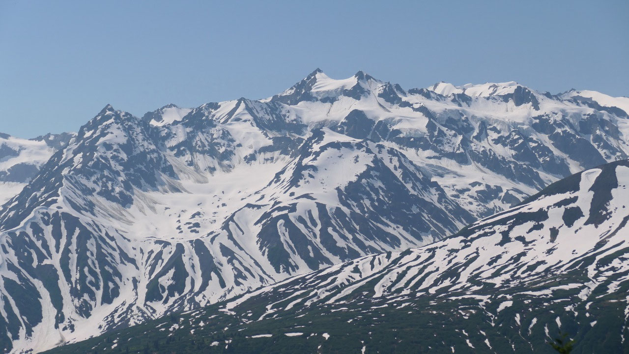
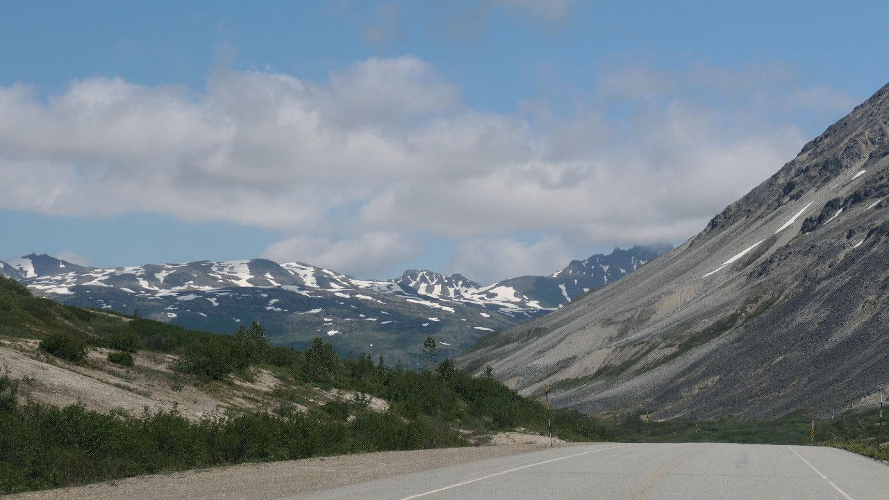
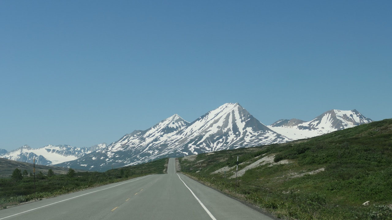
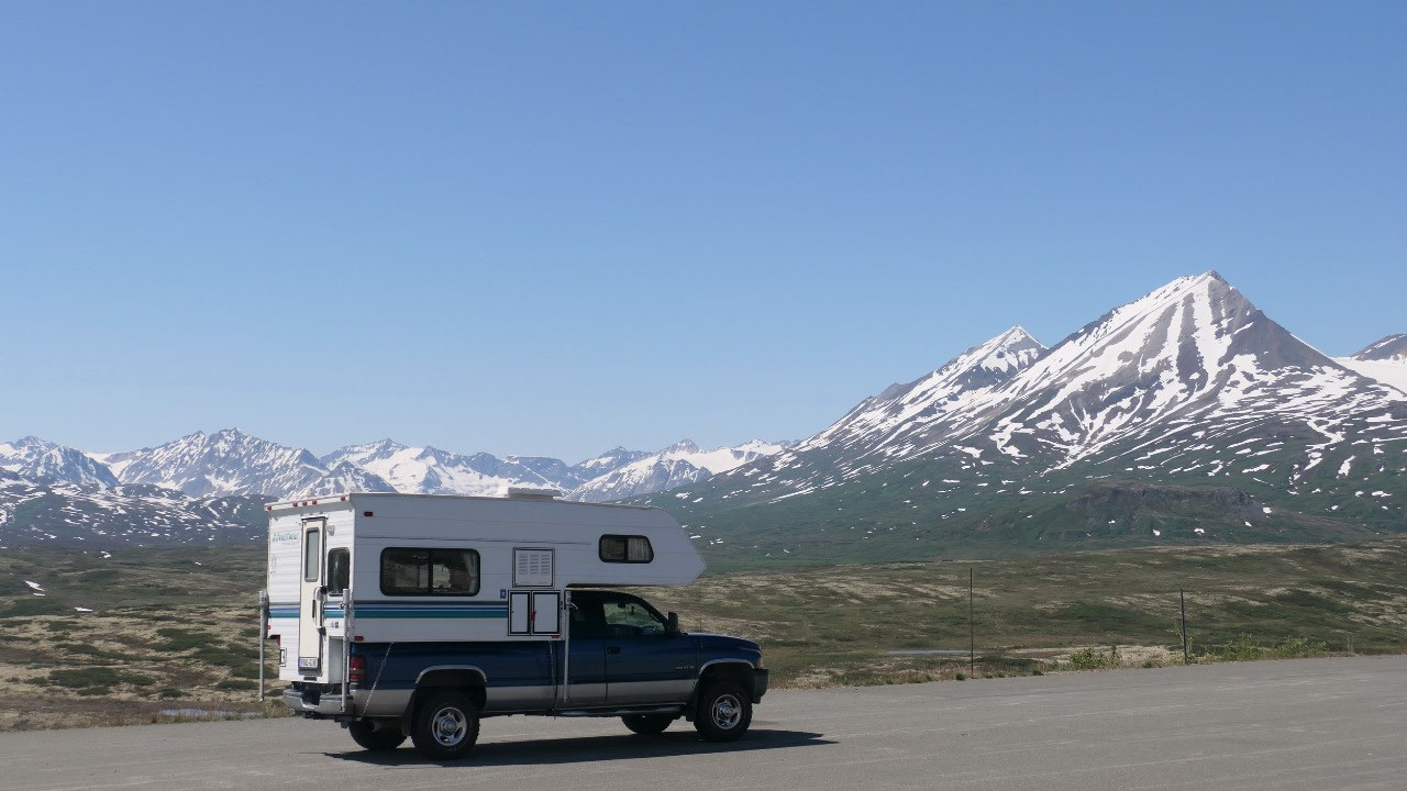
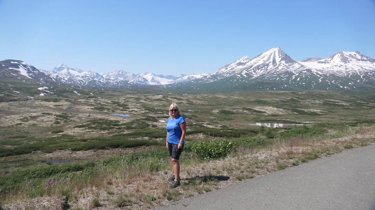
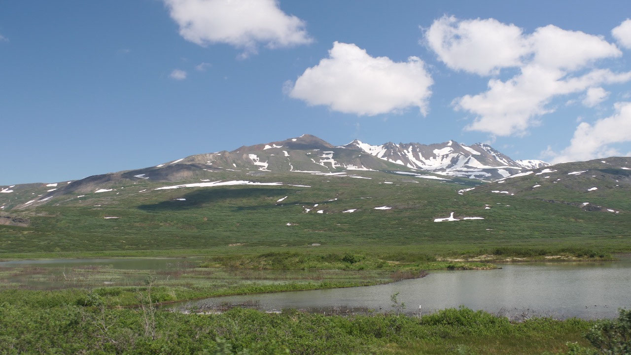
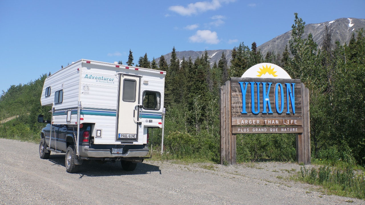
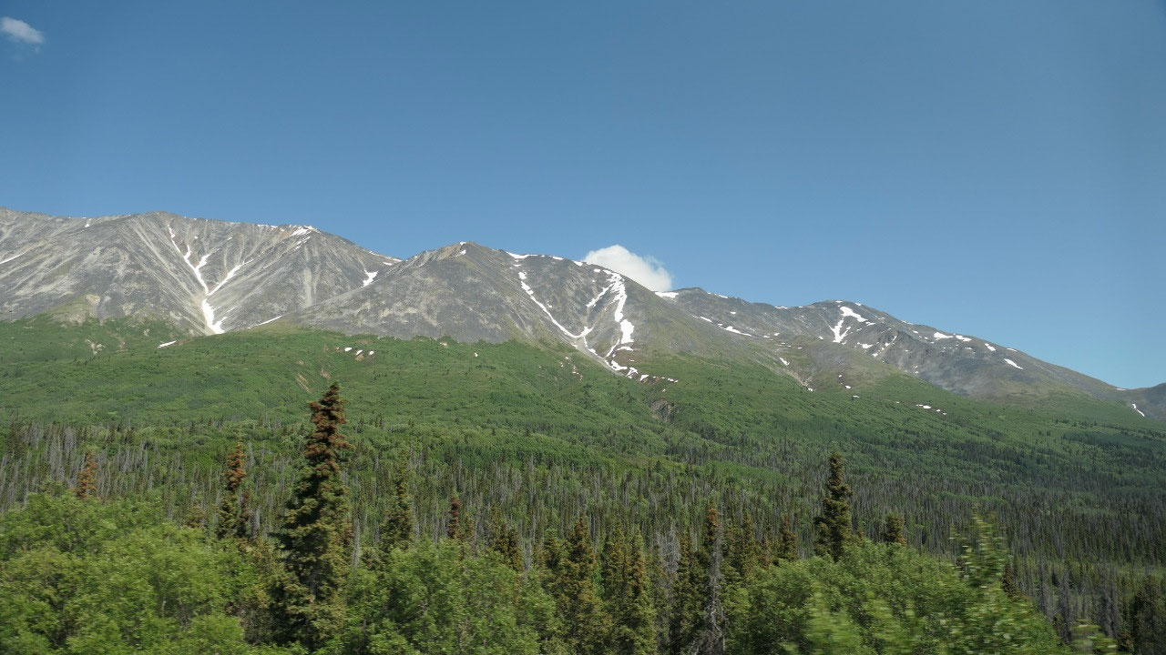
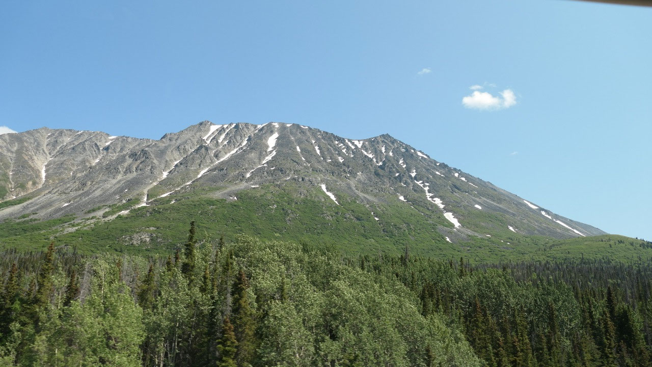
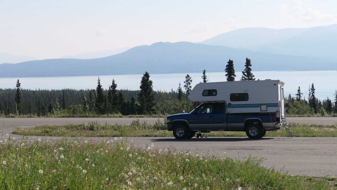
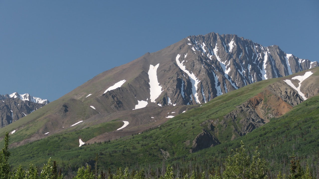
On top of the Chilkat Pass
We are now in BC for another 45km
before we came to the Welcome to Yukon sign. I may should mention at one time
we saw some trumpeter swans on a tiny lake and wondered if they were
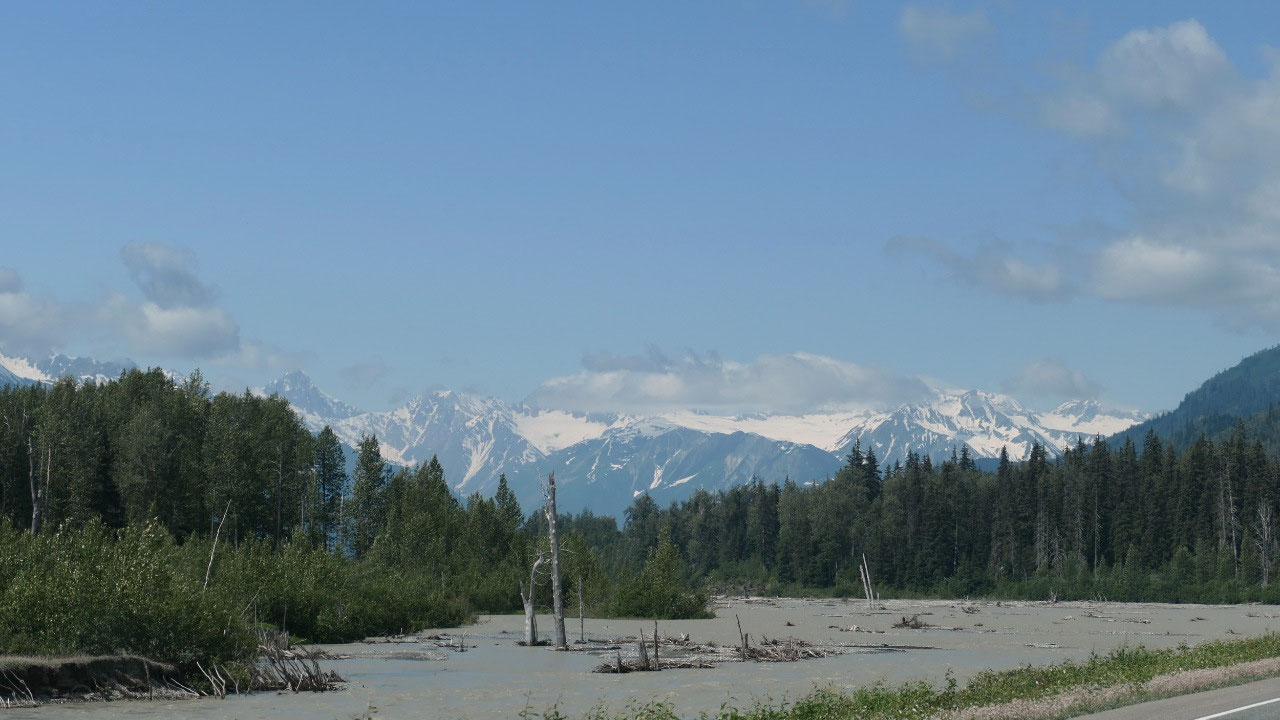
overwintering in Comox (and as we discover along the way each lake only has 2 swans!!).
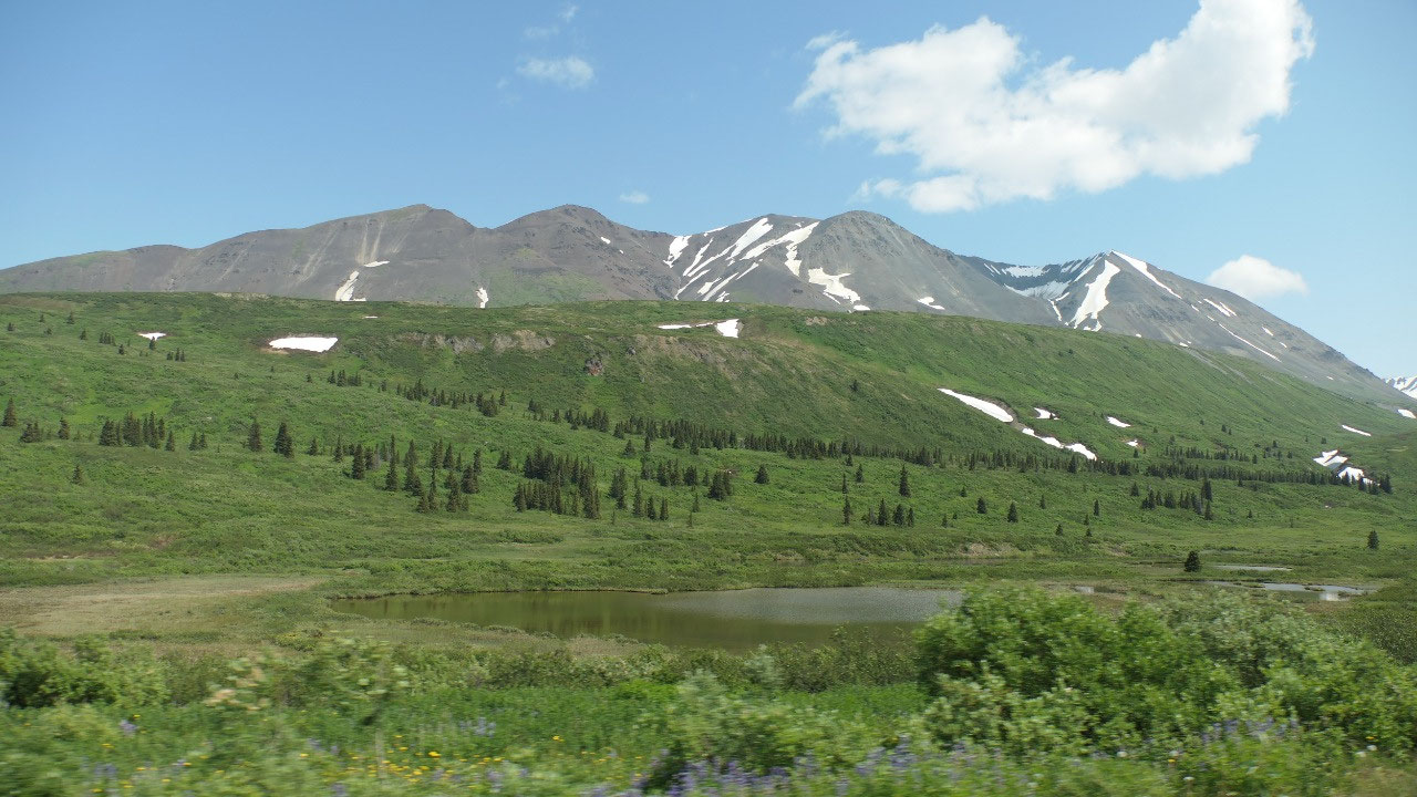
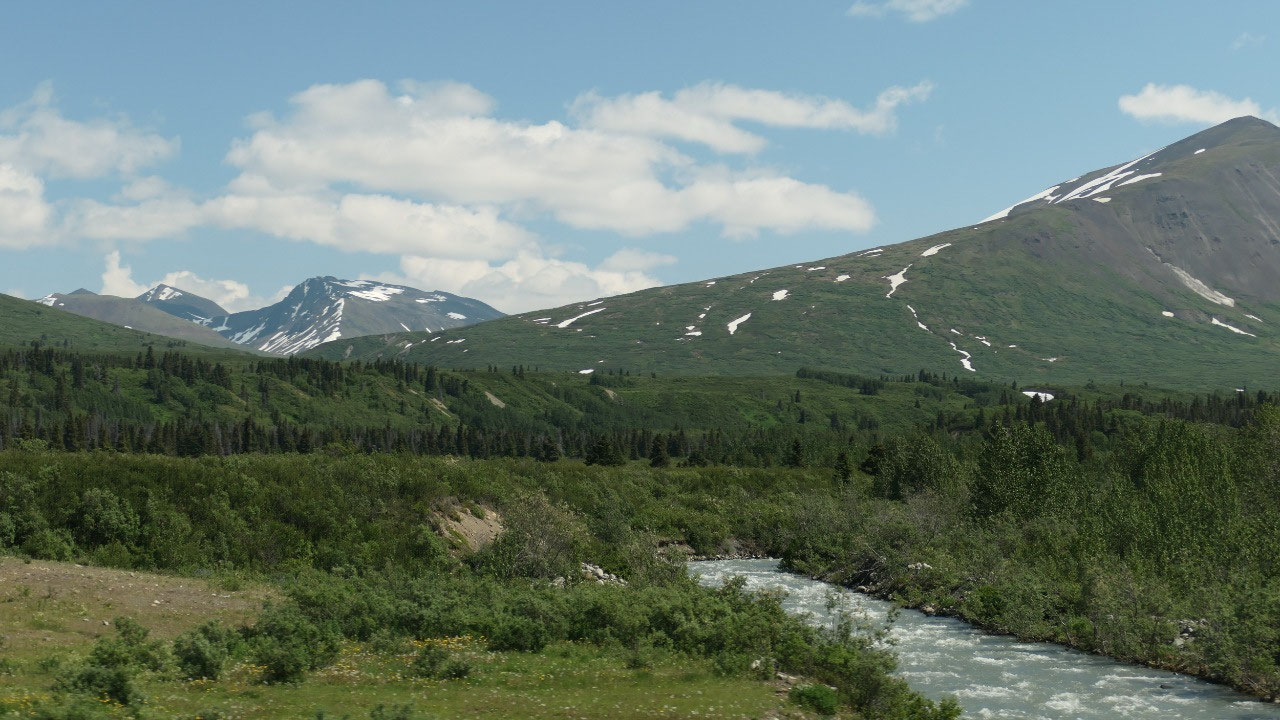
This morning we left at 0m elevation and once we reached the top of the Chilkat
Pass we were at 1100m. The drive up was amazing – we had to stop a few times
only so that we could also see what is behind us – we are surrounded by
mountains and glaciers – so amazing. We also passed the treeline which gives
even more incredible views. We stopped at the top (ok near the top) – and the
view is amazing!!!!
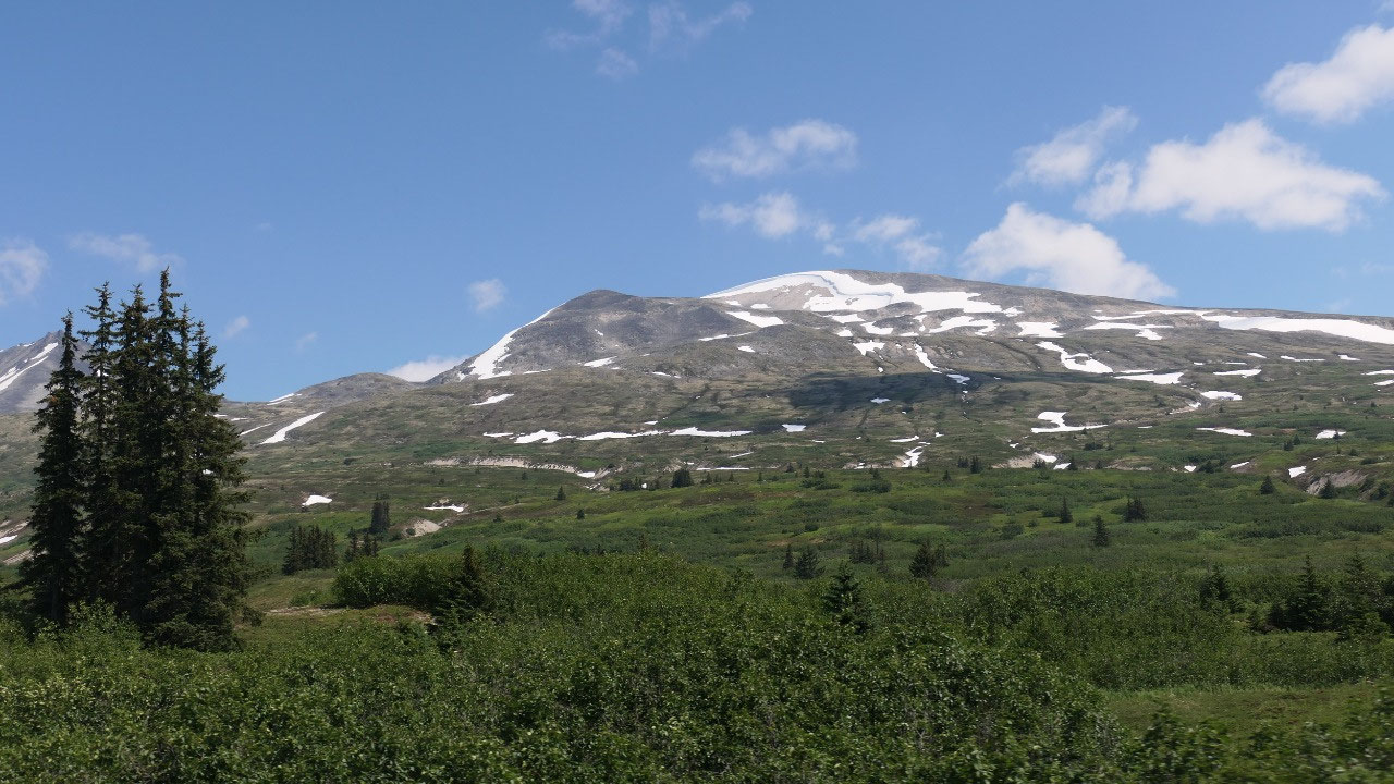
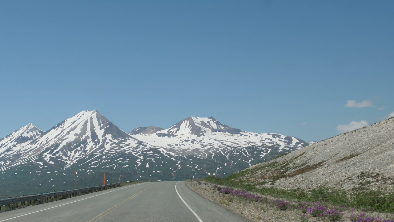
It is amazing to have a closer look at
those amazing glaciers.
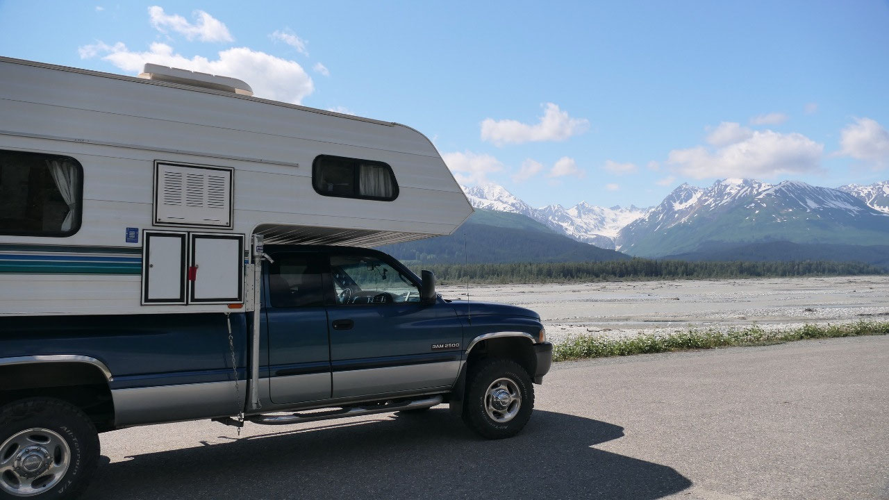
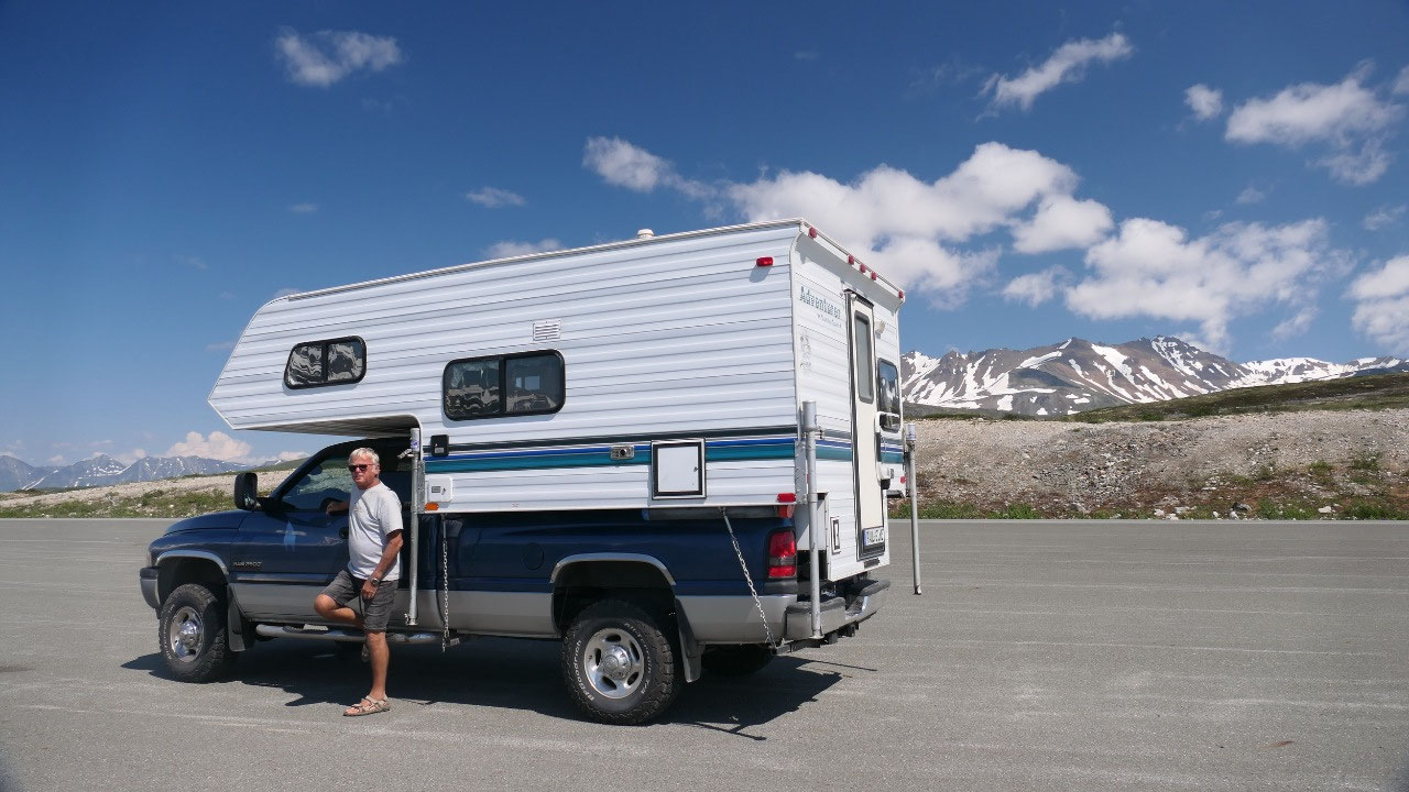
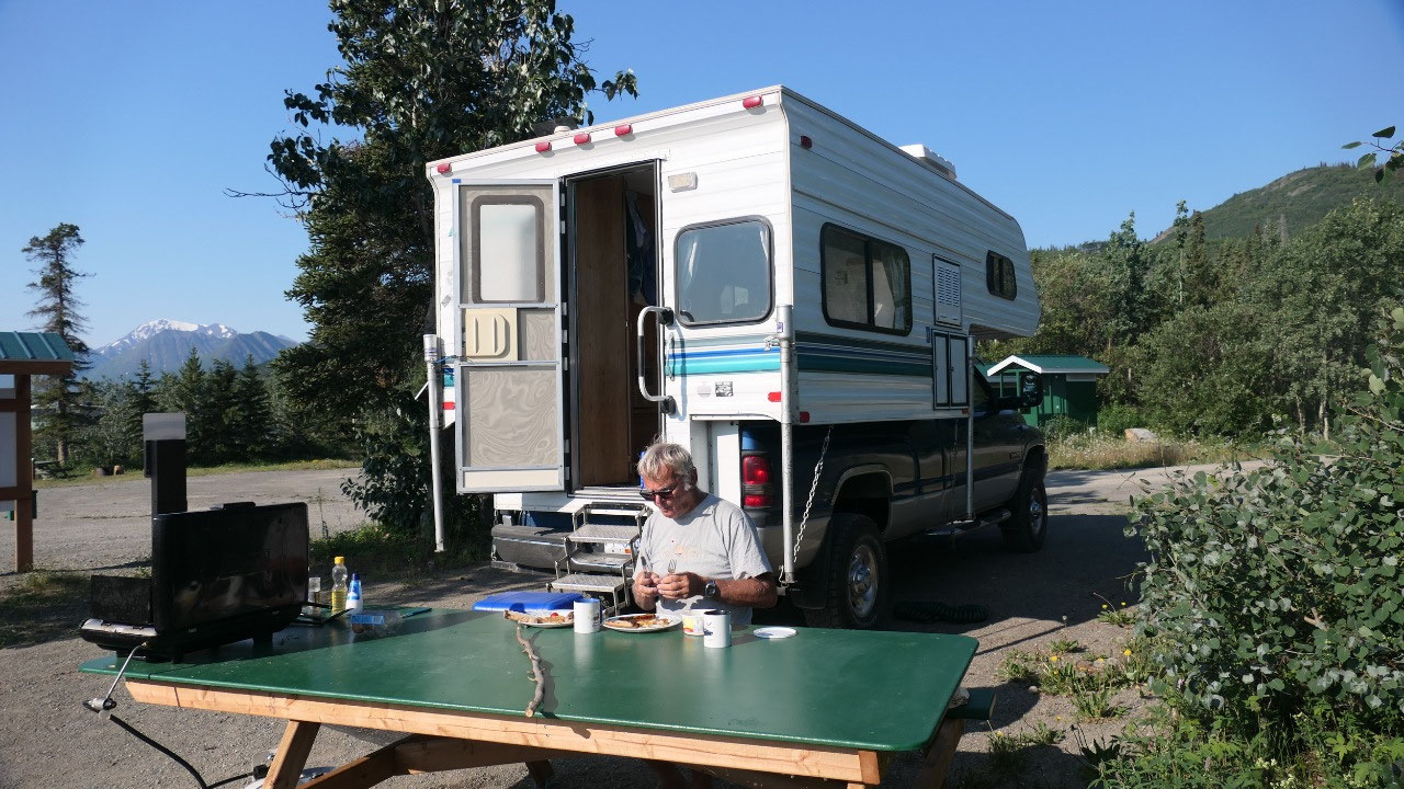
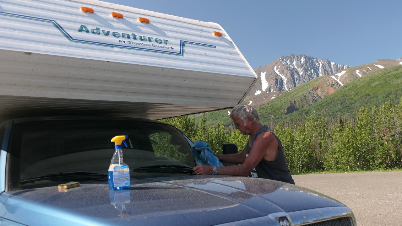
A hole in the camper
This is when we discovered that we
have a hole in our camper wall – and we were wondering where it came from, that
is when we remembered that we hit in backing up earlier this morning and we
must got it, so Paul had to do some fixing on top of the world: tape over the
hole – tying the screws as the steps have trouble to fit in. I think there is
always some maintenance that needs to be done….
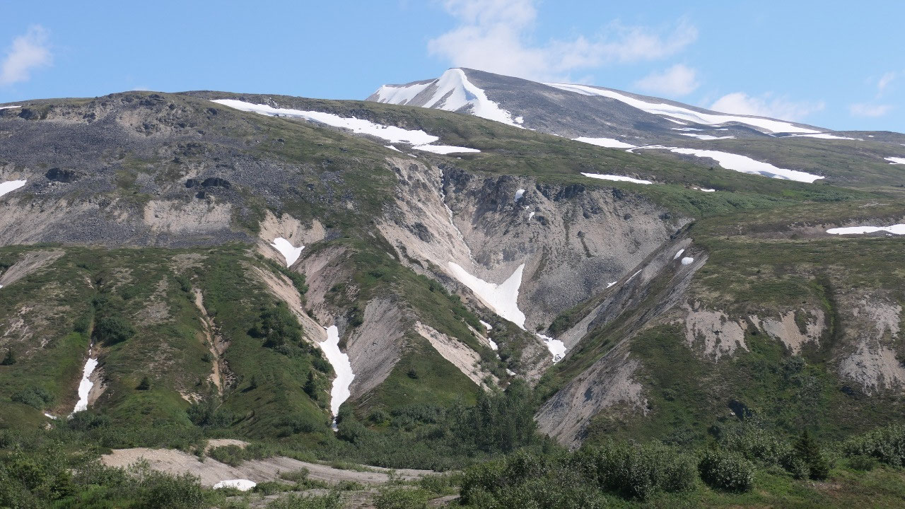
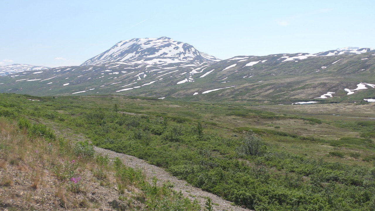
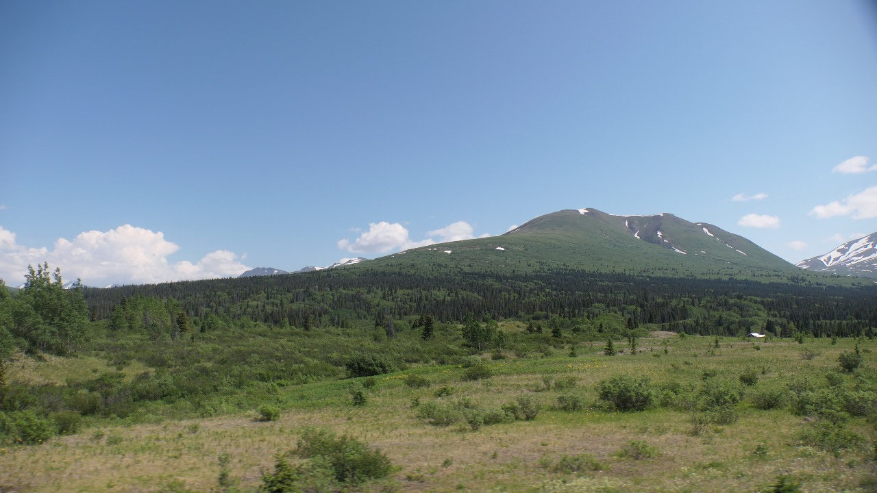
From here on we went down – more
mountains – more glaciers – more amazing views…. I may should mention even up
here in the cold there are mosquitos!!!
So which one is the best road we drove
so far – we can’t say – but this one is definitely one of the top ones.
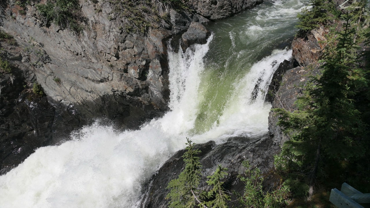
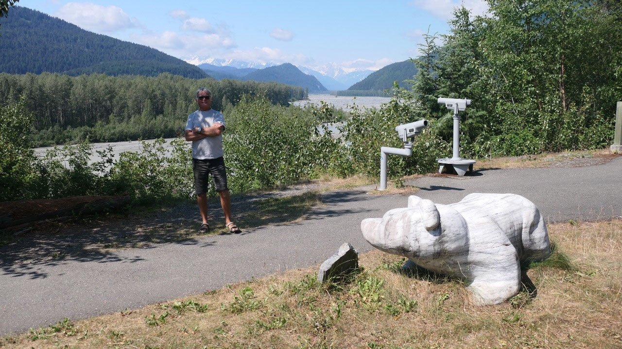
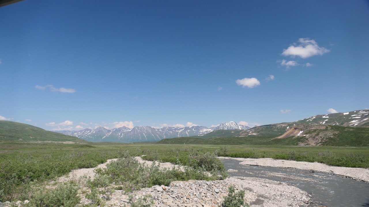
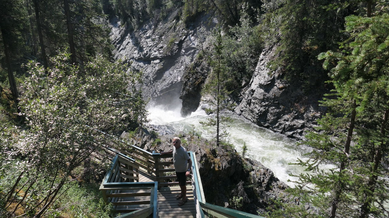
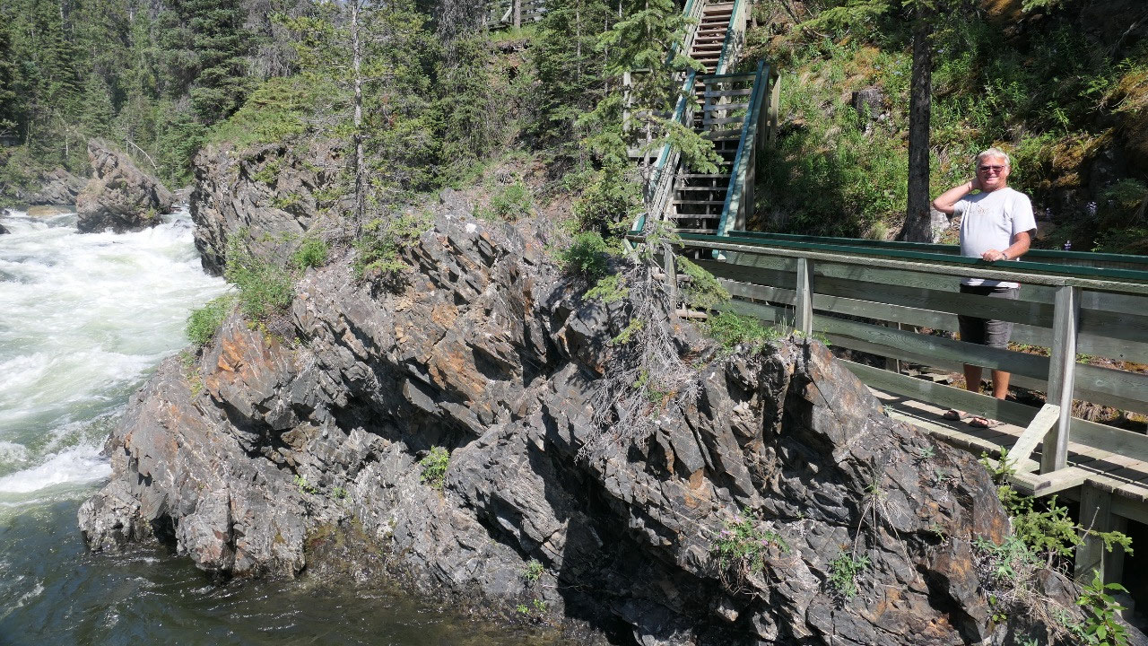
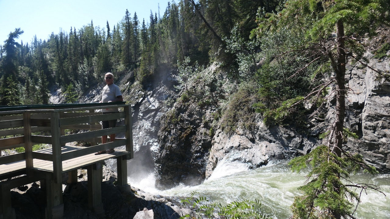
At the Million-dollar-Waterfall
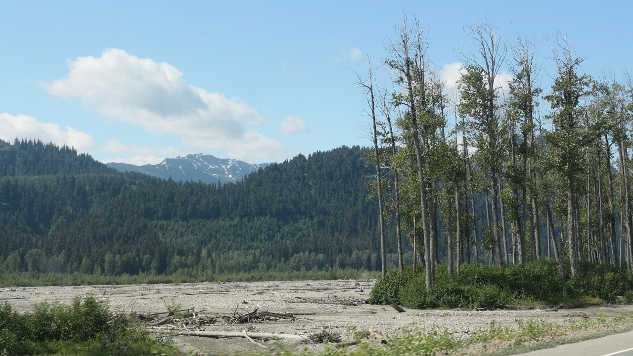
As we went downhill – the forest
starts and all we can see is mountain and trees – endless all directions – When
I’m thinking about on how many hours and hours we drove through forest – it’s
amazing. I also want to mention there are not that many cars on the roads here
either. And yes there was a stretch of 180km with no gas station!!!
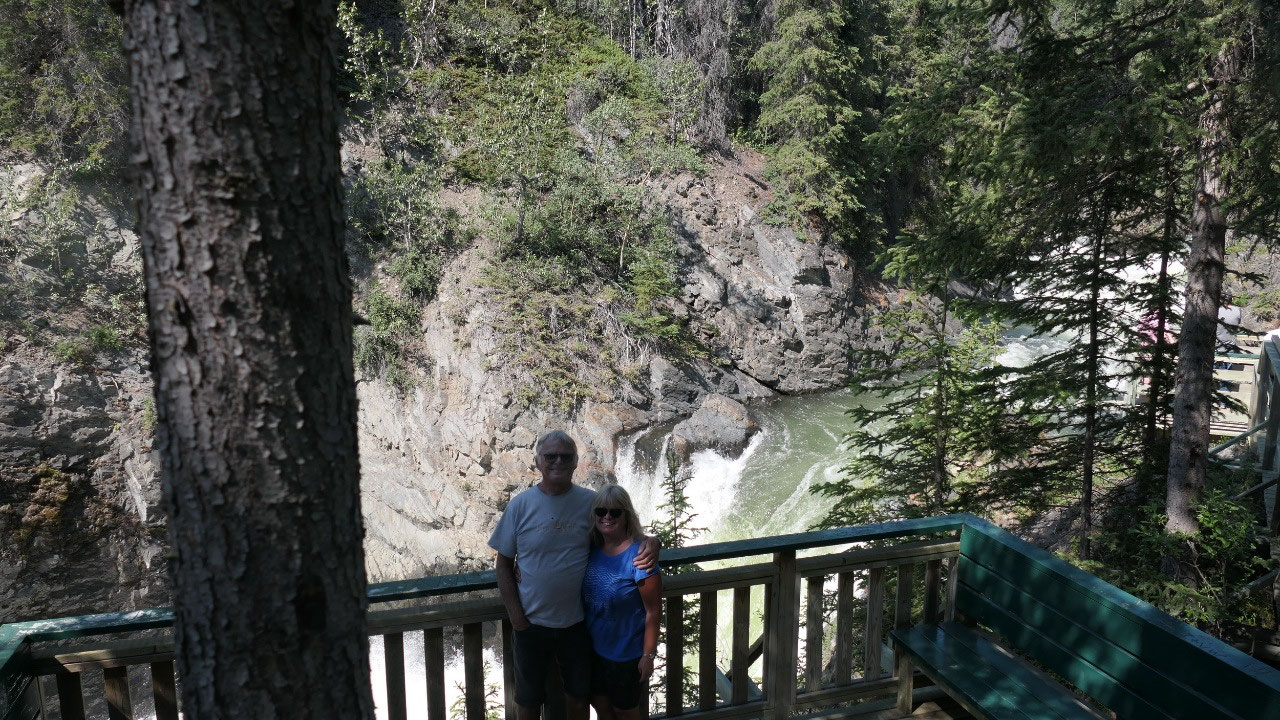
Then we pull into the parking lot:
because of the time change it is coffee time. Now we are ready to head out to
check out the falls – are they worth a million:
- The name comes from the US military maintenance camp during building the Haines Highway and the pipeline. The camp had officer rooms, barracks and a 21-toilet-bathhouse: the rumour is that it cost a million dollar – the funny part is it got never used
- Haines road was built as an alternative to the White Pass Railway during WWII
- We are at the fringe of the Denali fault – it is still an active fault
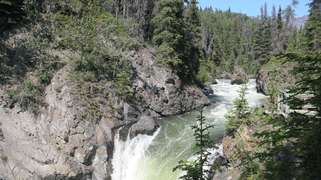
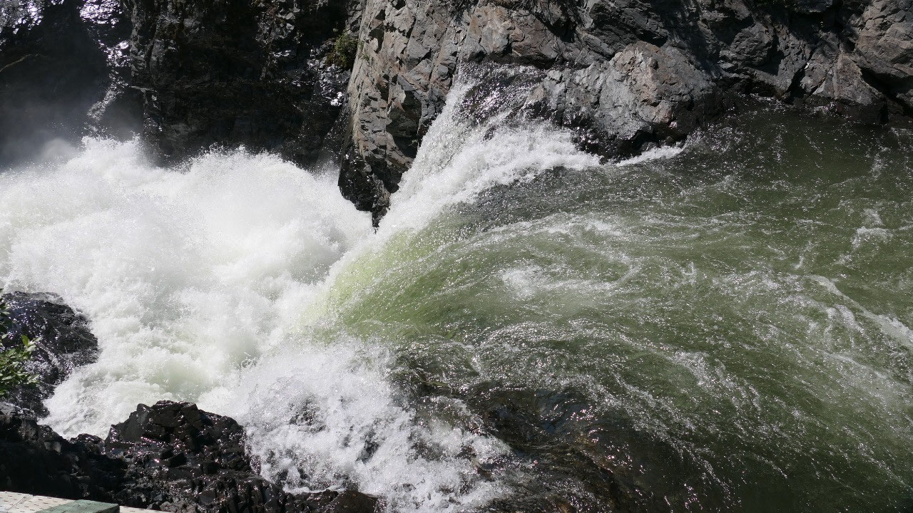
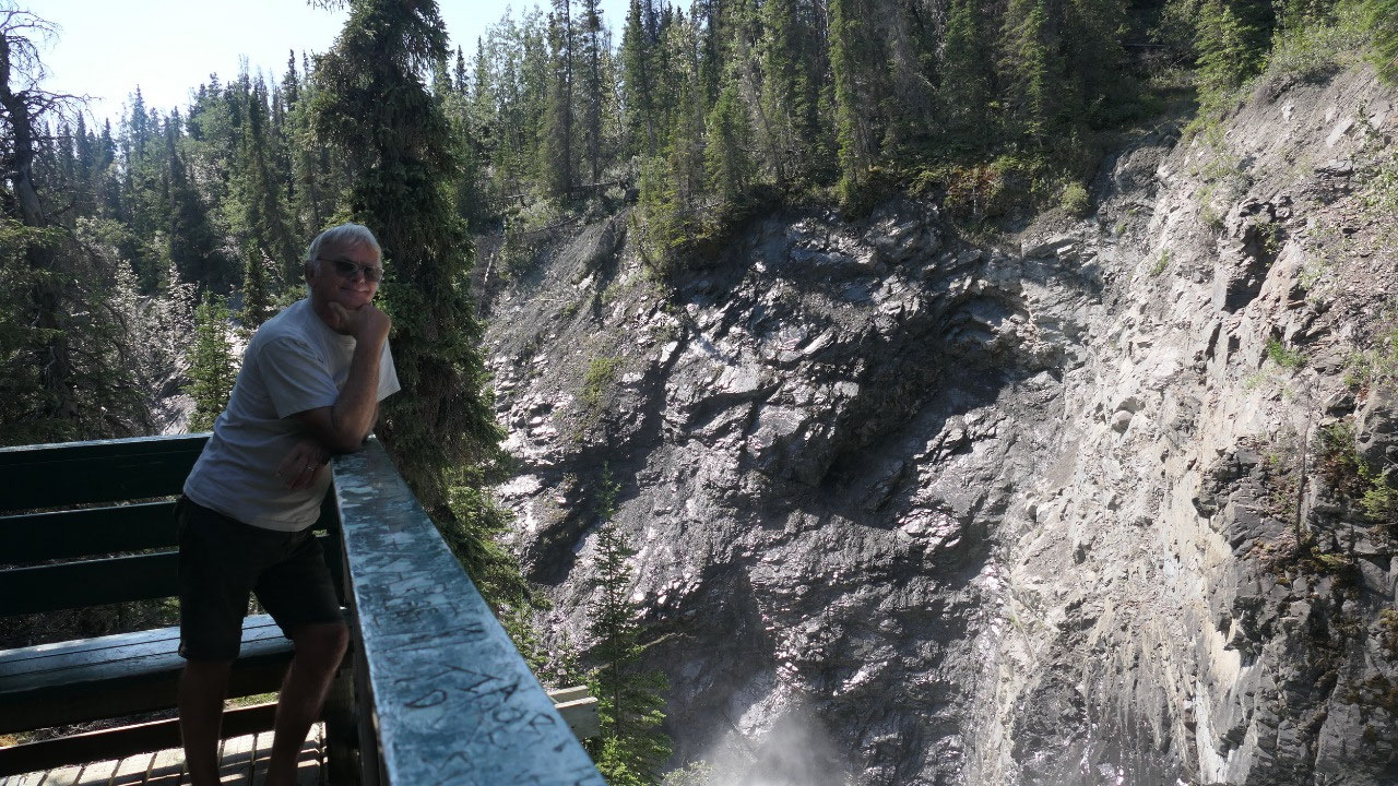
The walk is a few steps down and then
on a boardwalk along the river and the falls to several viewpoints: it is a
nice fall (no it’s not worth a million dollars), with the high water it makes
it really spectacular.
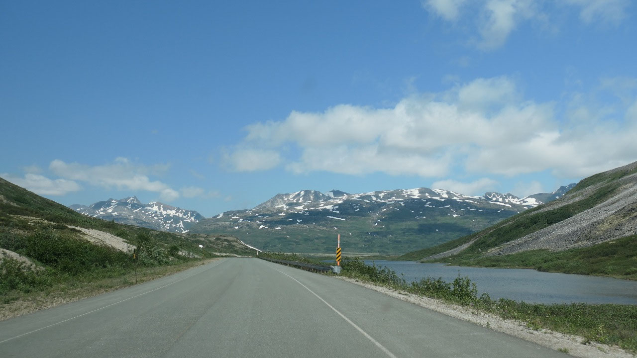
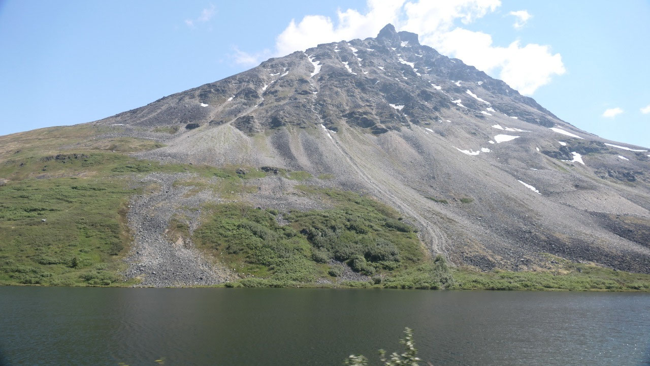
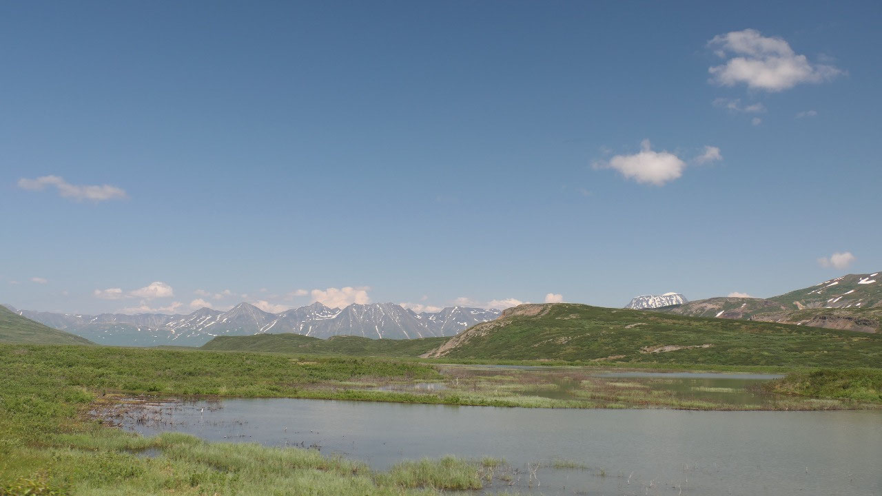
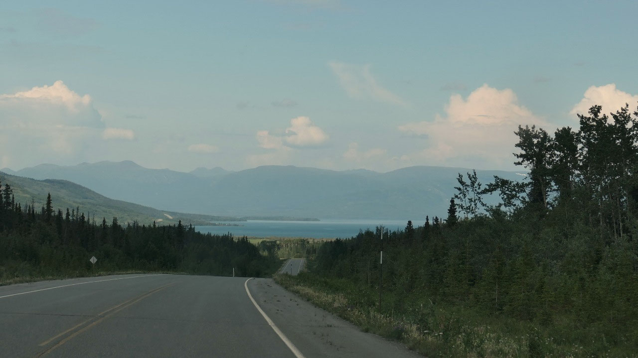
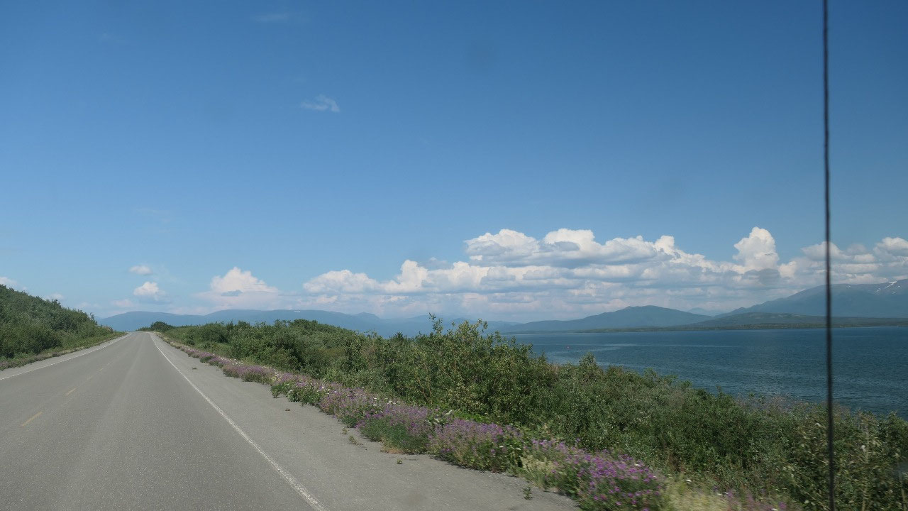
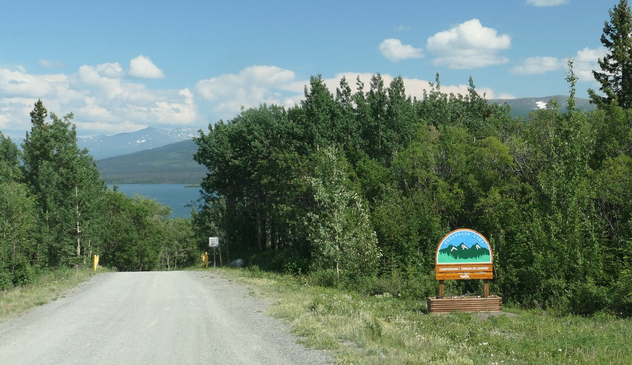
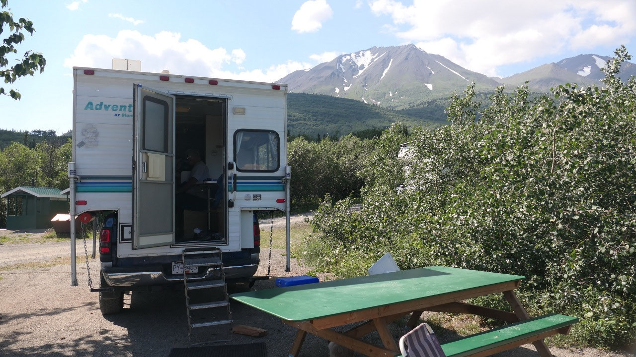
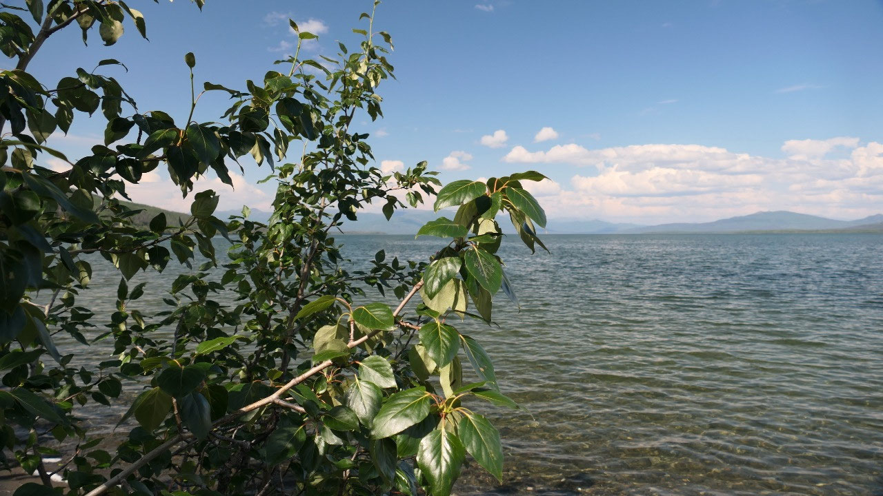
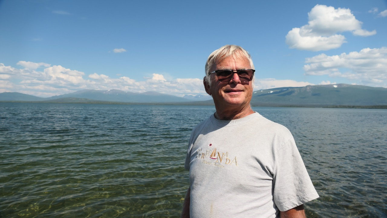
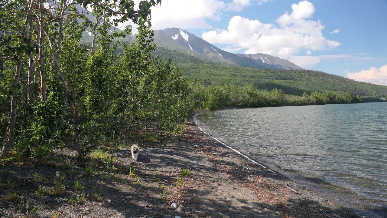
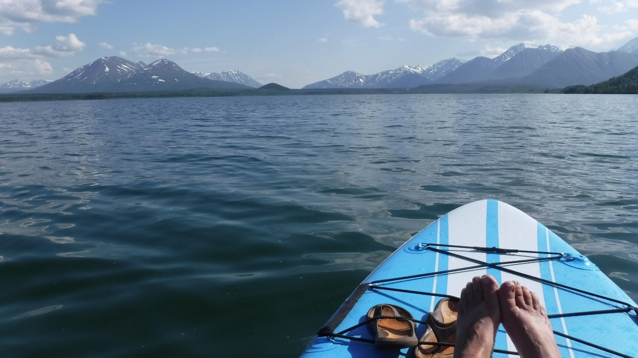
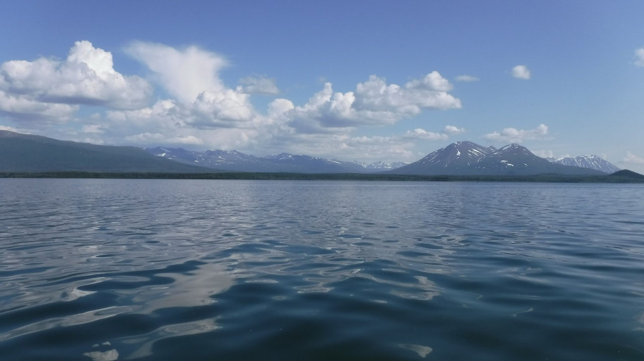
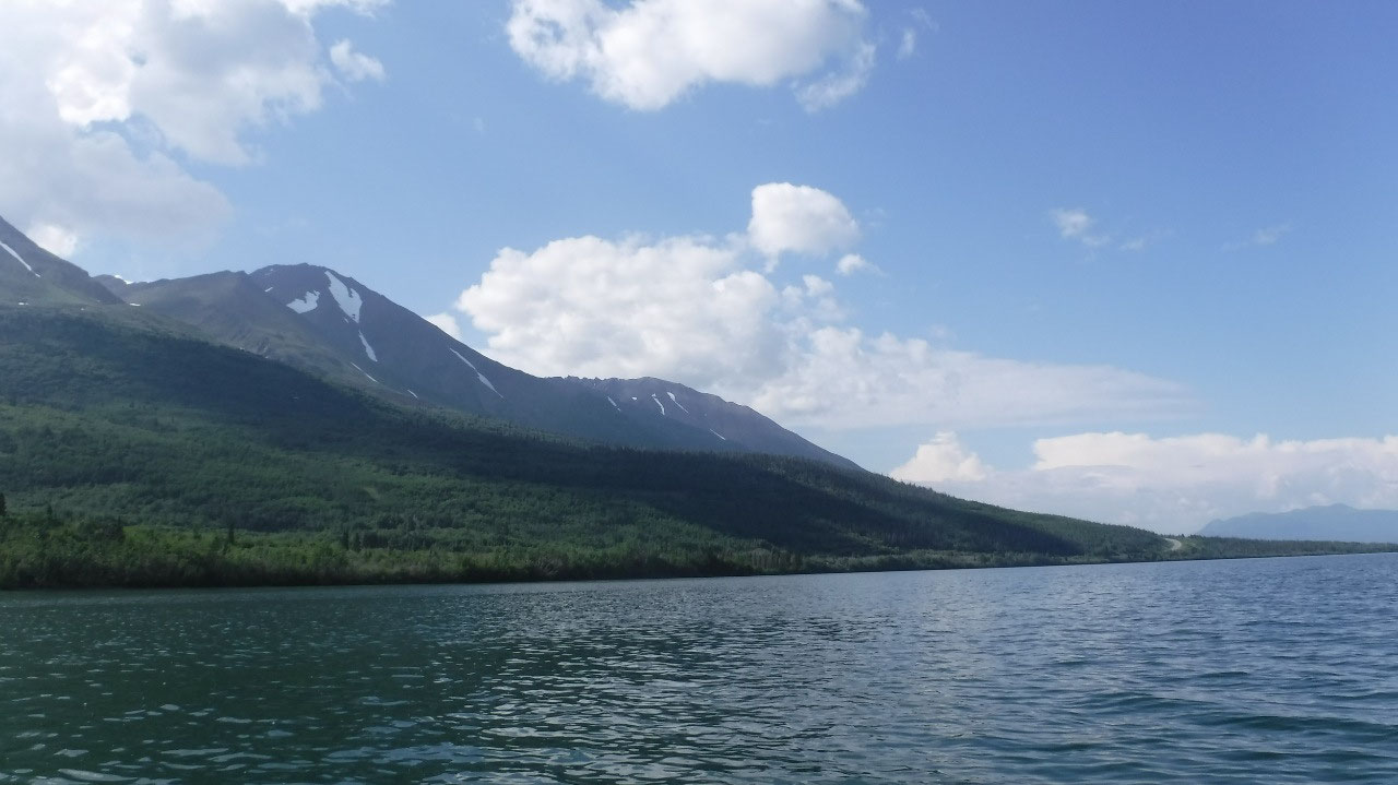
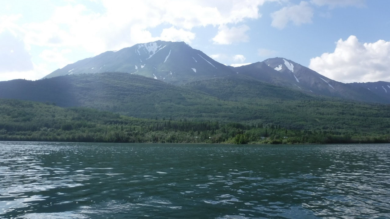
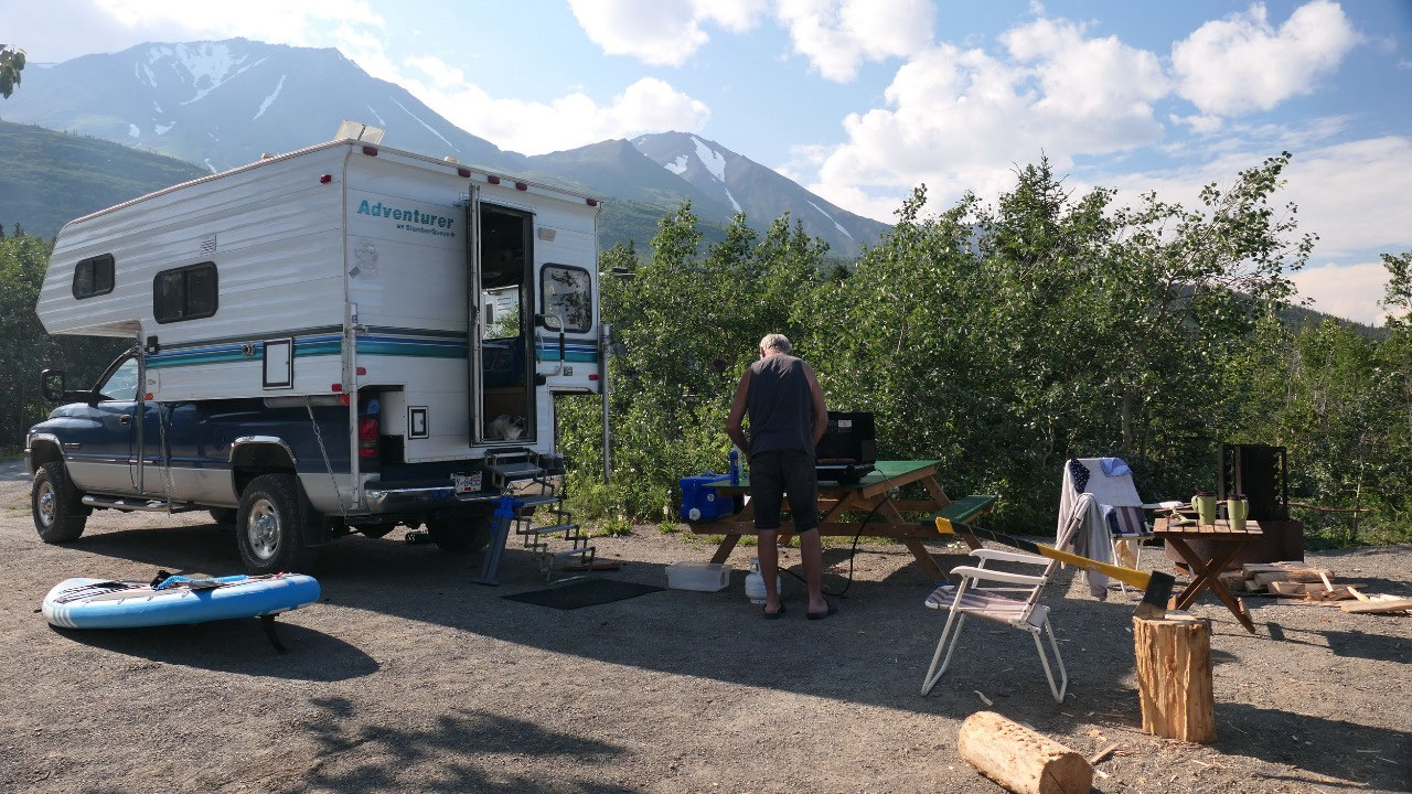
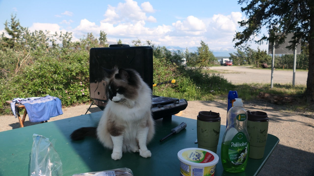
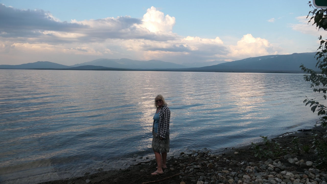
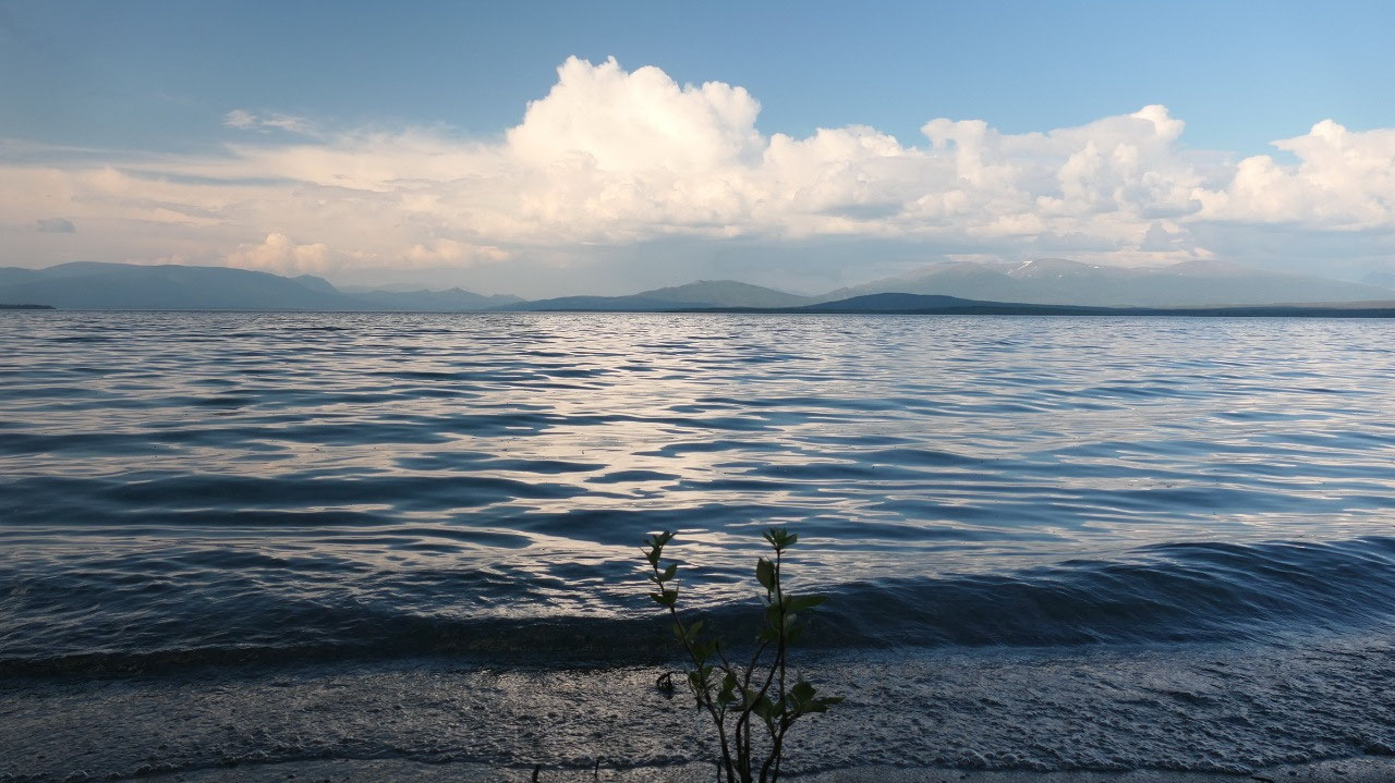
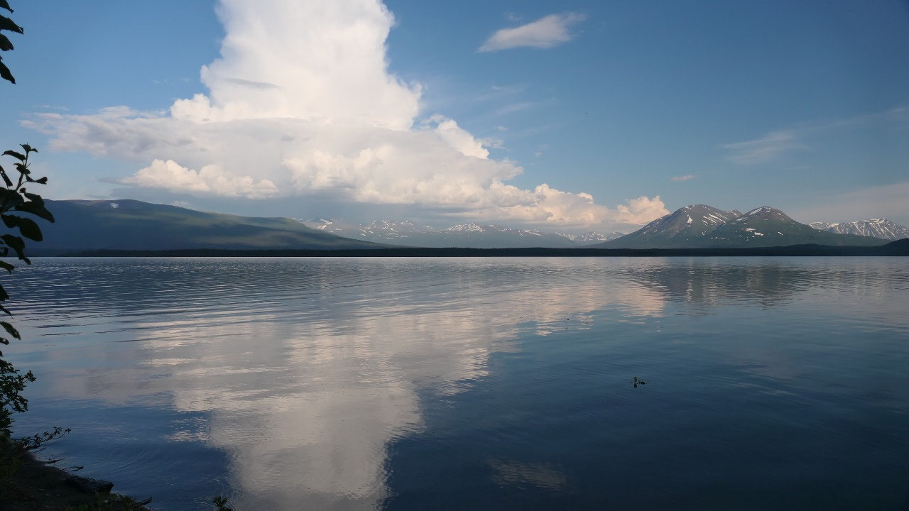
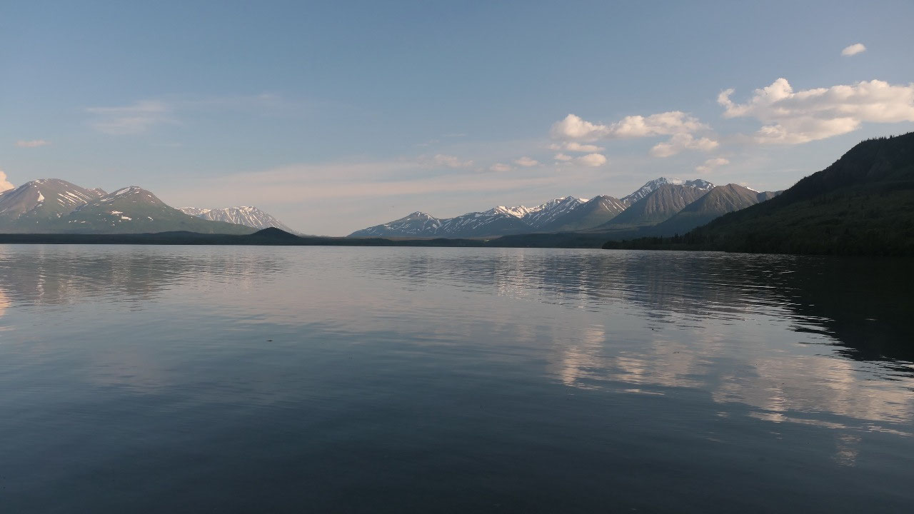
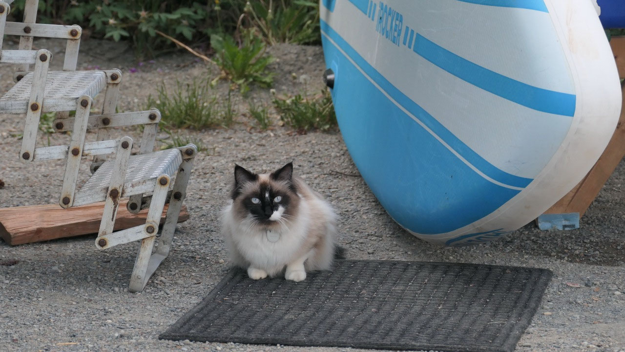
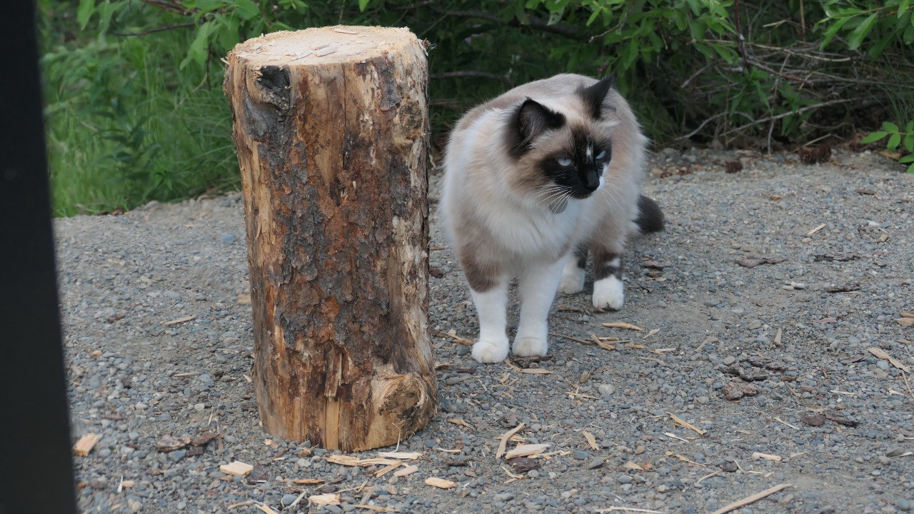
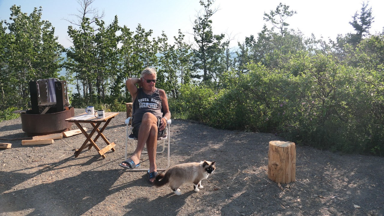
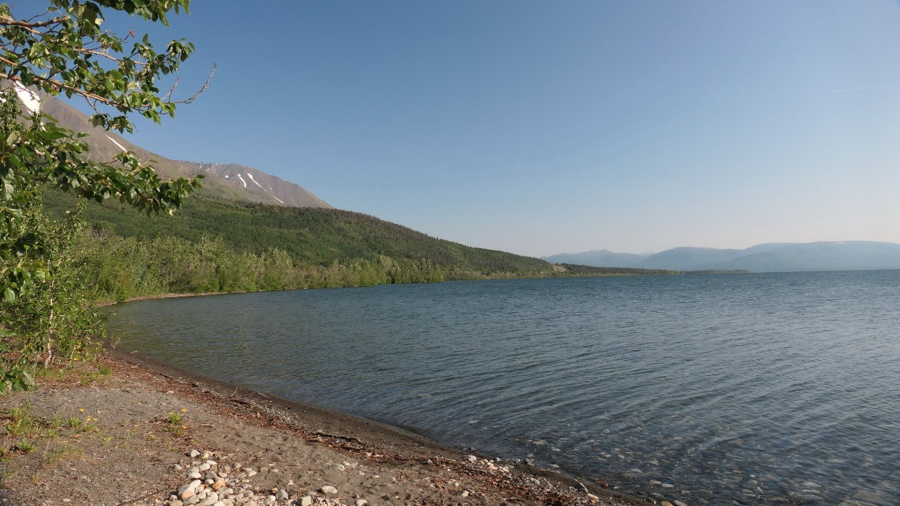
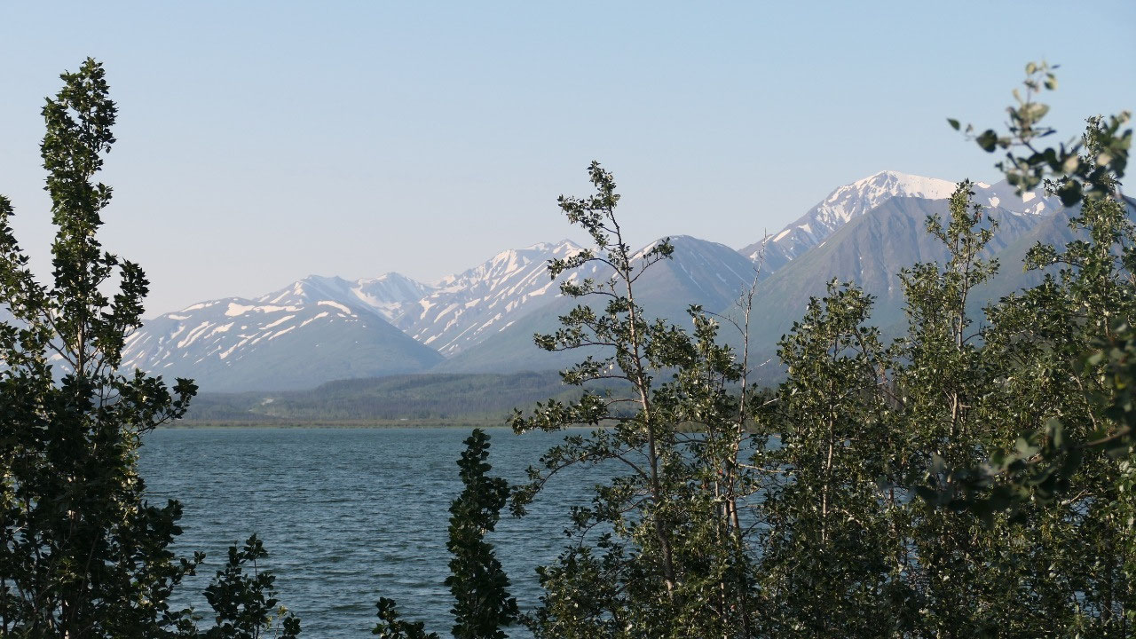
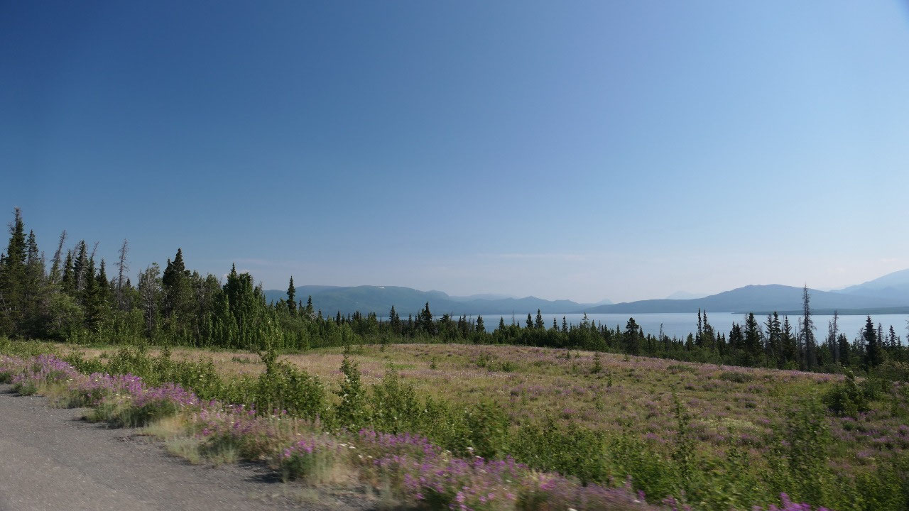
A Swim in Dezadeach Lake
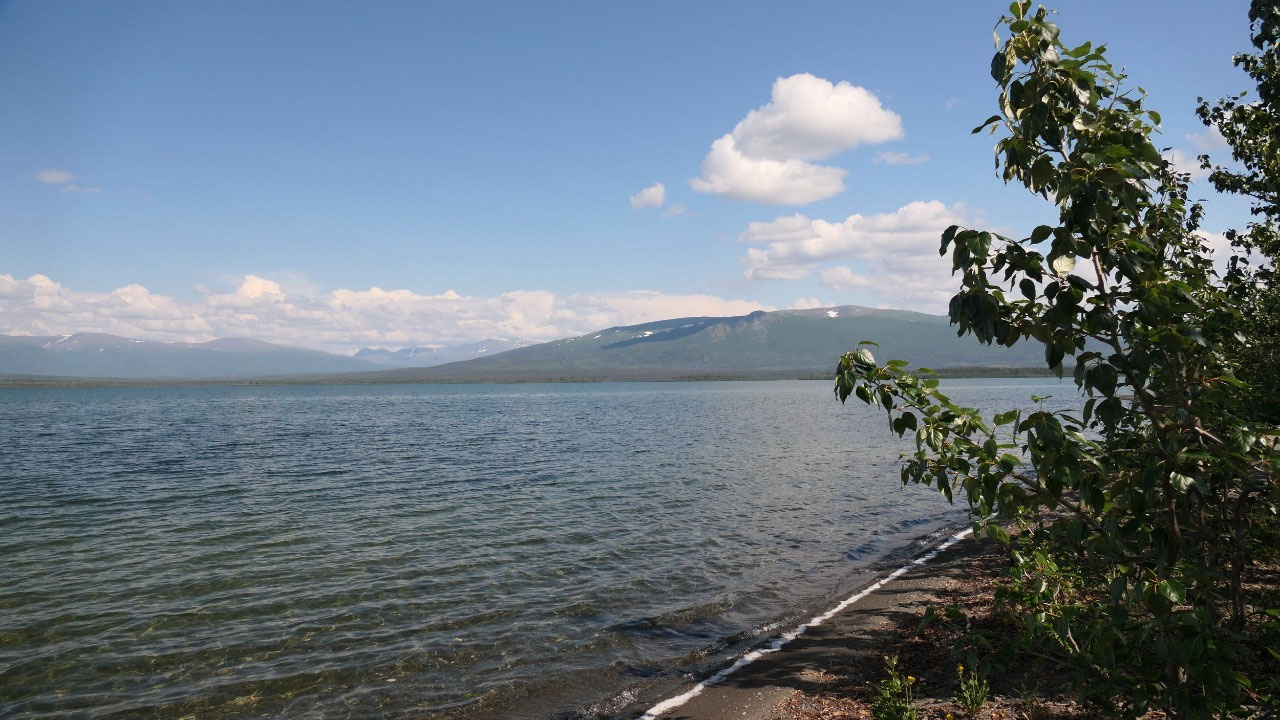
- By the way Dezadeasg means: lake of the great winds – storms can come up quickly (and we got a tiny one)
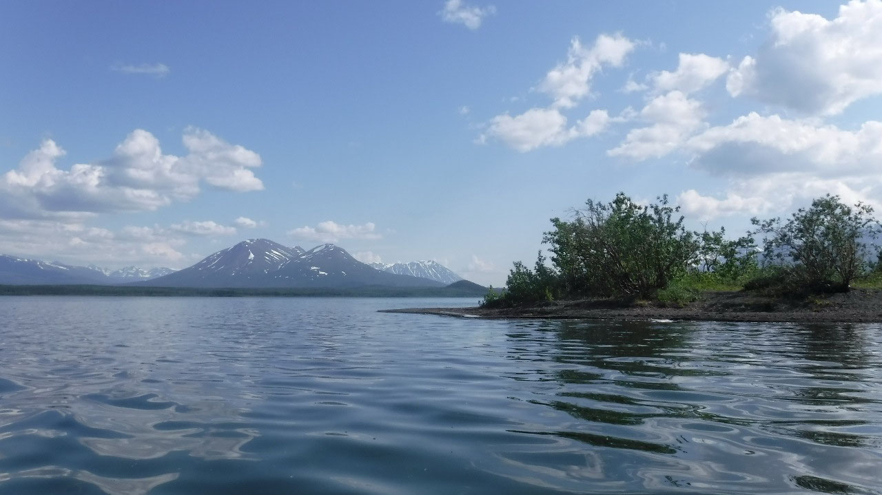
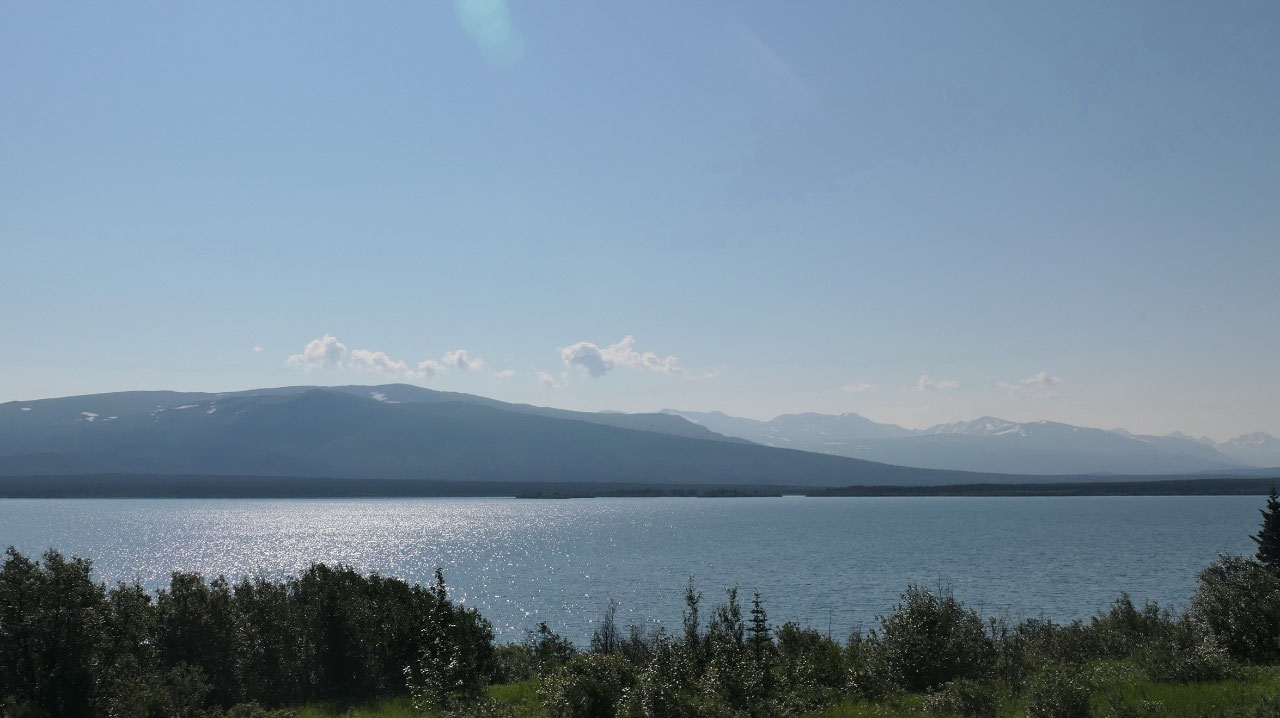
We continue on our journey and already
get first glimpses on a huge lake: the Dezadeach Lake. We decided to pull in
and check out the campsite and there was one spot we liked (it is the
handicapped spot) and you can go in there after 6 pm, we said ok – we pull in
and pay after 6 pm, if someone comes then we move across to one of the sites.
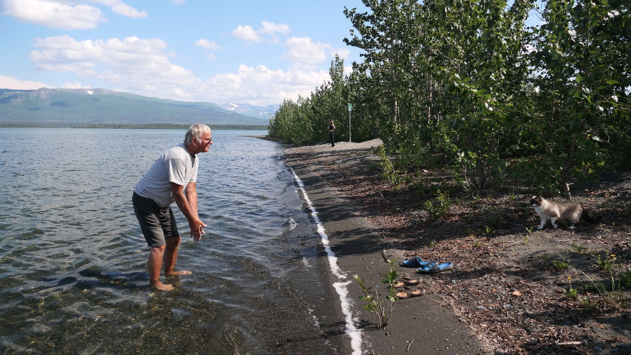
We are warm and the lake looks inviting and super clean – we change and then
yes: we go for a swim in a lake in the Yukon!!!!
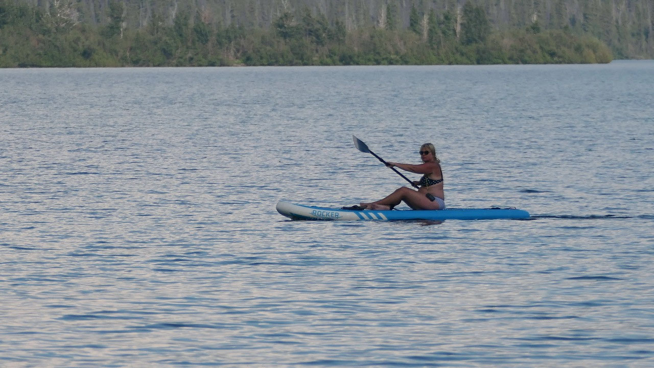
As it is so beautiful Gine decided to
get out the paddle board, and go out in the lake to enjoy the view better –super
cool. There is only one downside: it is called mosquitos (I think we love
mosquito repellent)
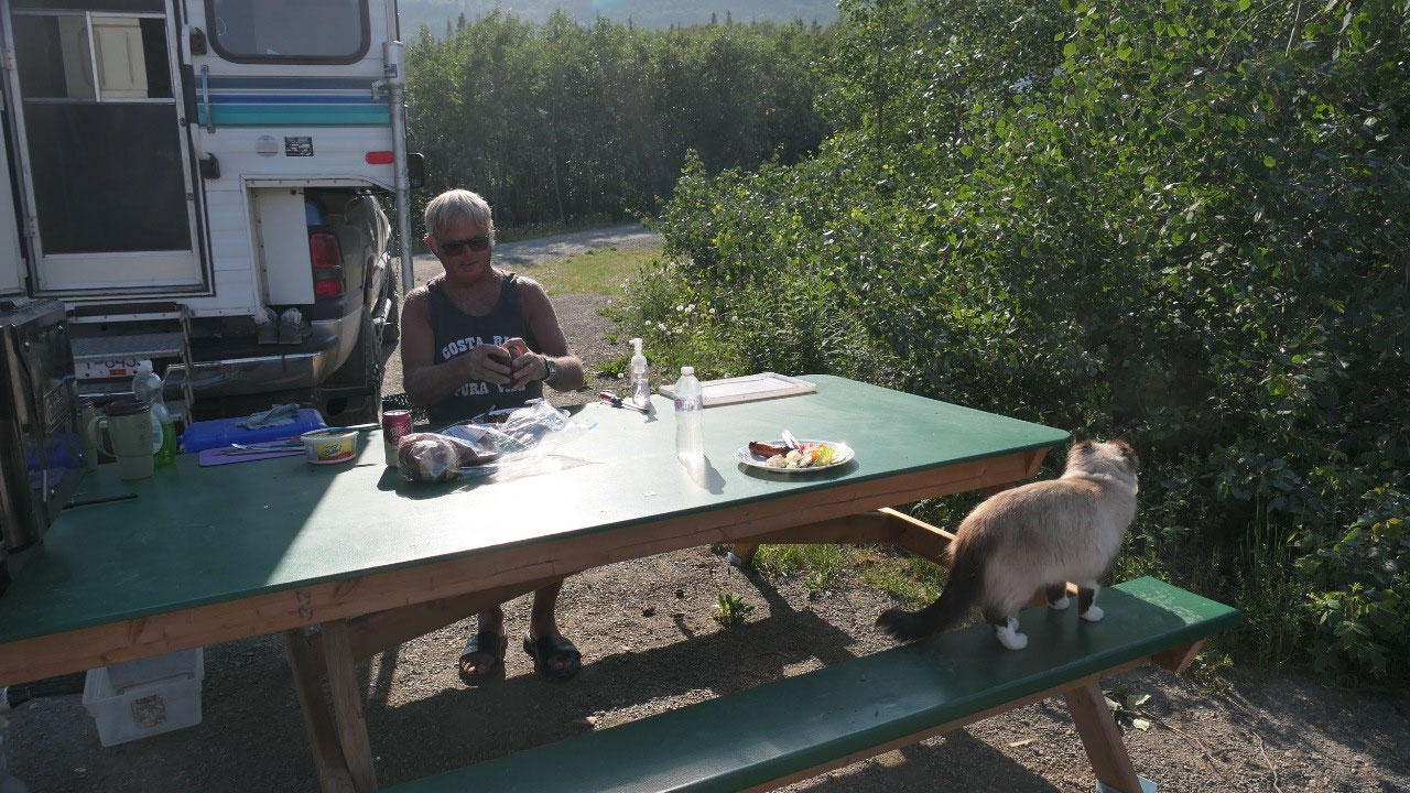
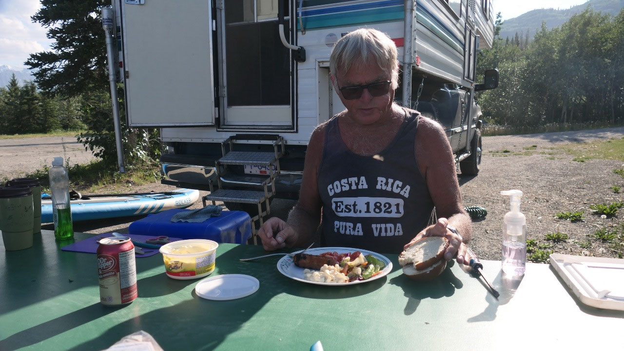
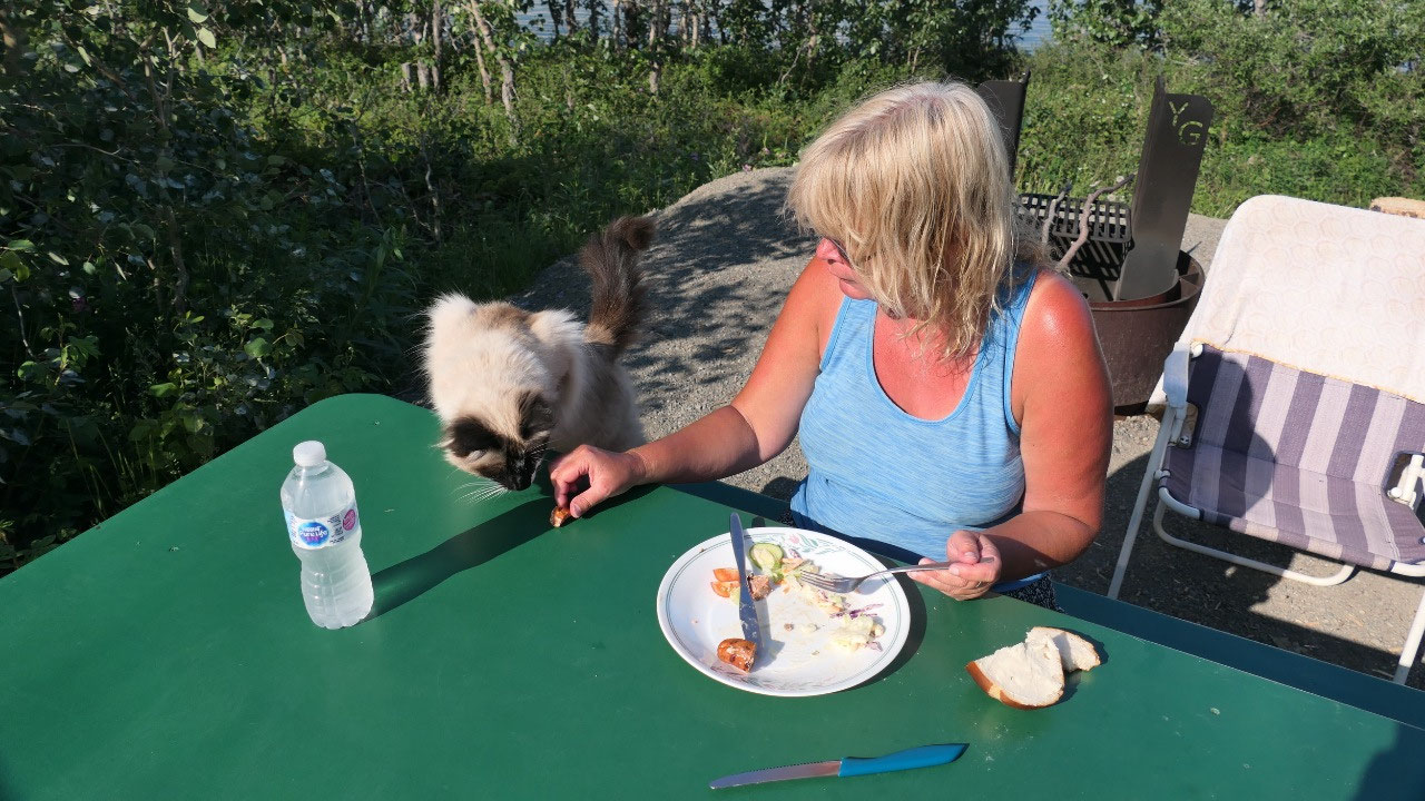
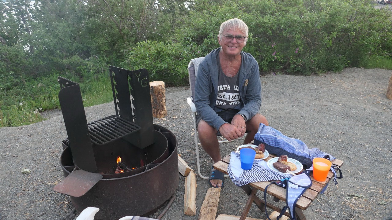
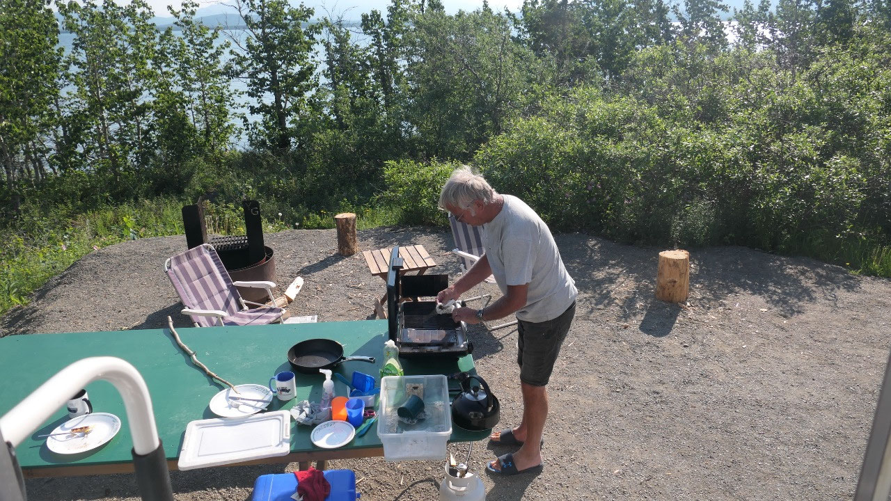
BBQ out and sausages with salad is on
the supper list for tonight.
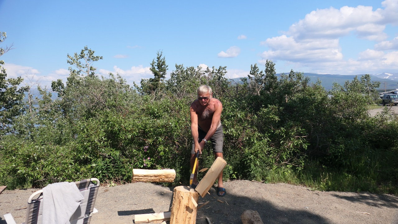
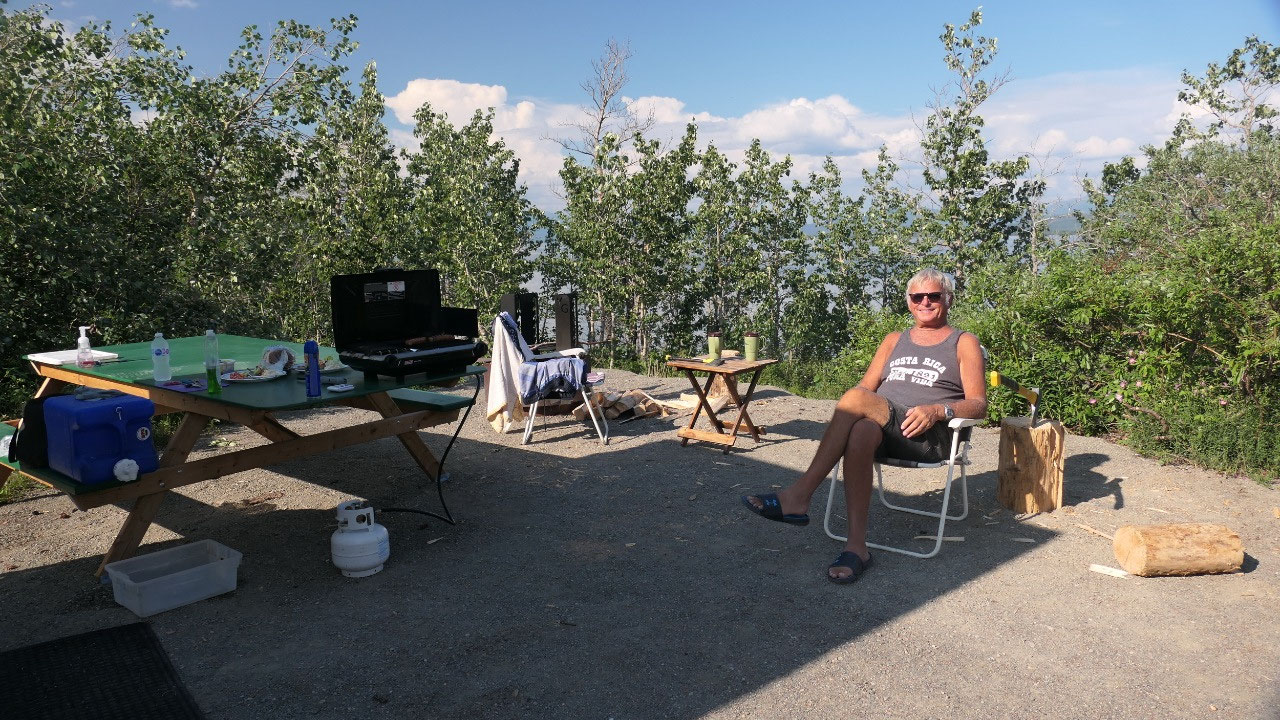
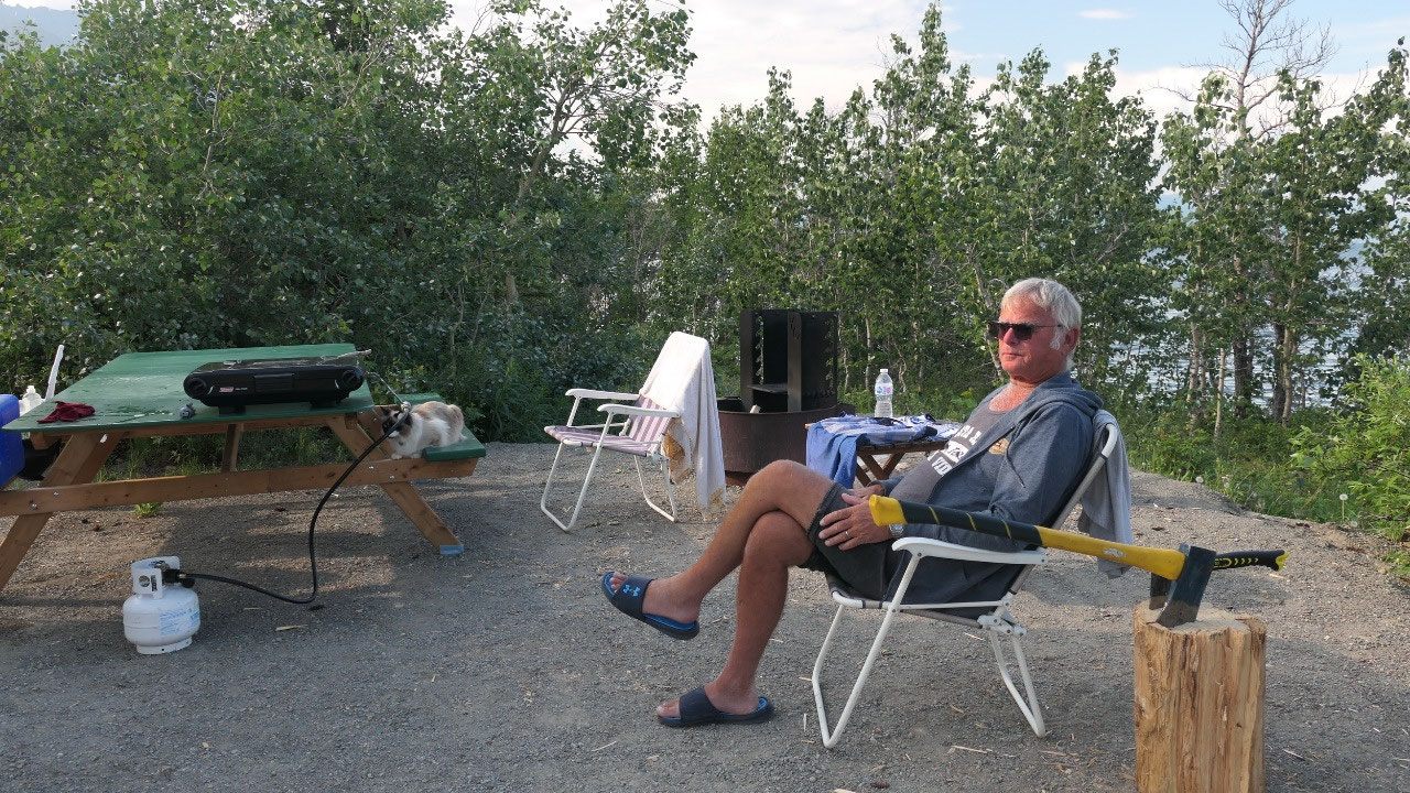
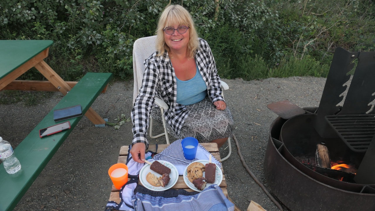
Dessert around the fire
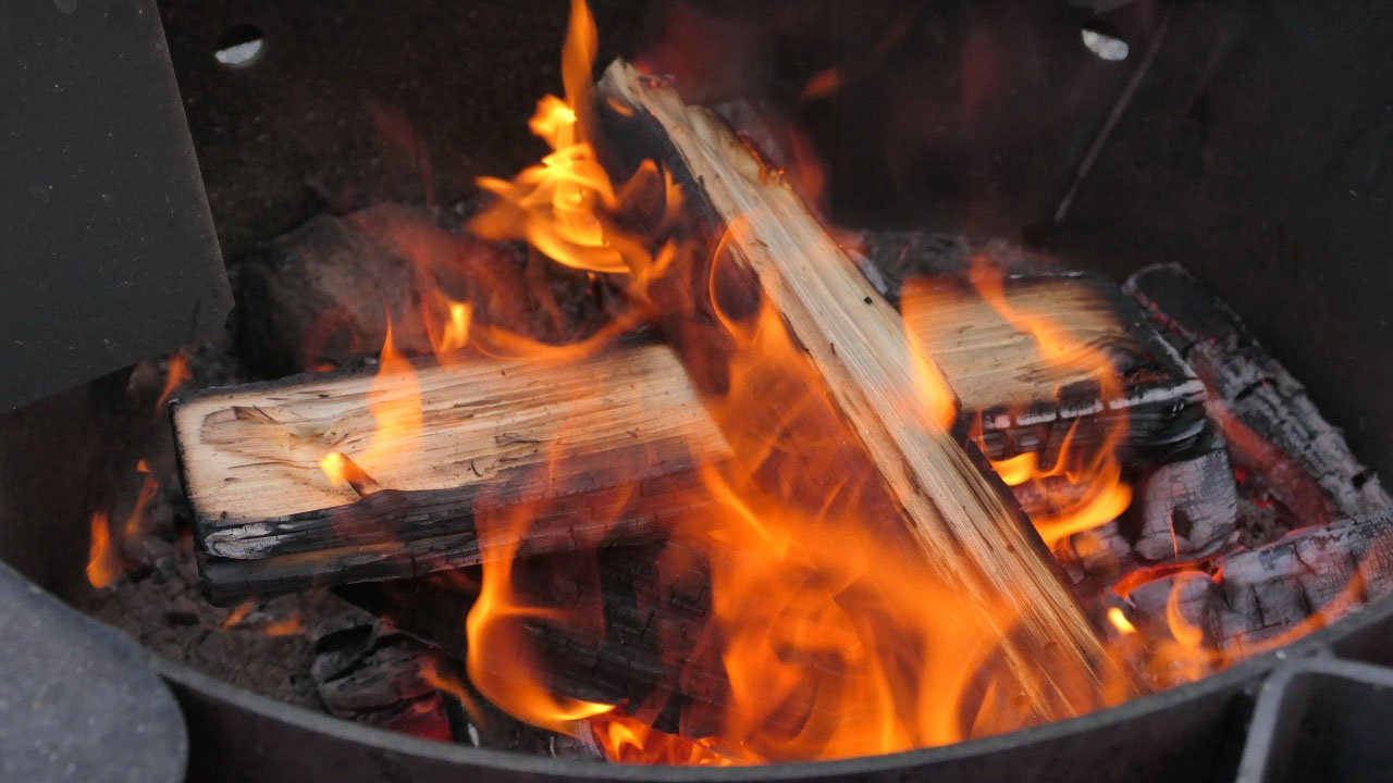
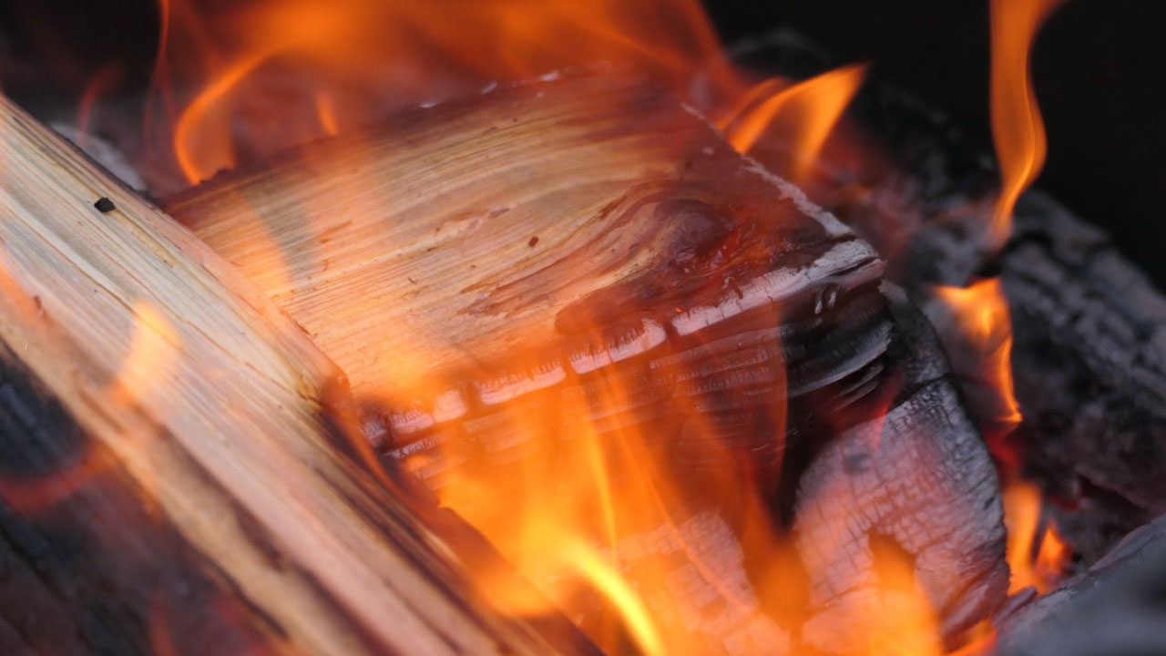
Afterwards we sit around enjoy the
sunshine and split wood (yes in Yukon you get free firewood), and make a fire
in the bullet proof fire pit in the hope that this will chase away the
mosquitos. We wouldn’t really need the fire because it is daylight until way
after midnight.
Dessert time: we have a bit of Rhubarb
fritter left how about served with ice cream and cookie???? Now that is called
camping dessert. Paul said it’s time to head inside – which was an excellent
choice because as soon as we were inside it started to rain: yes rain at night
again!!!!.
After a rainy night we wake up to
beautiful sunshine – looks like we will have another hot day. We decided to
head on.


2025-05-22