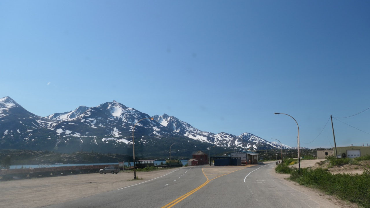
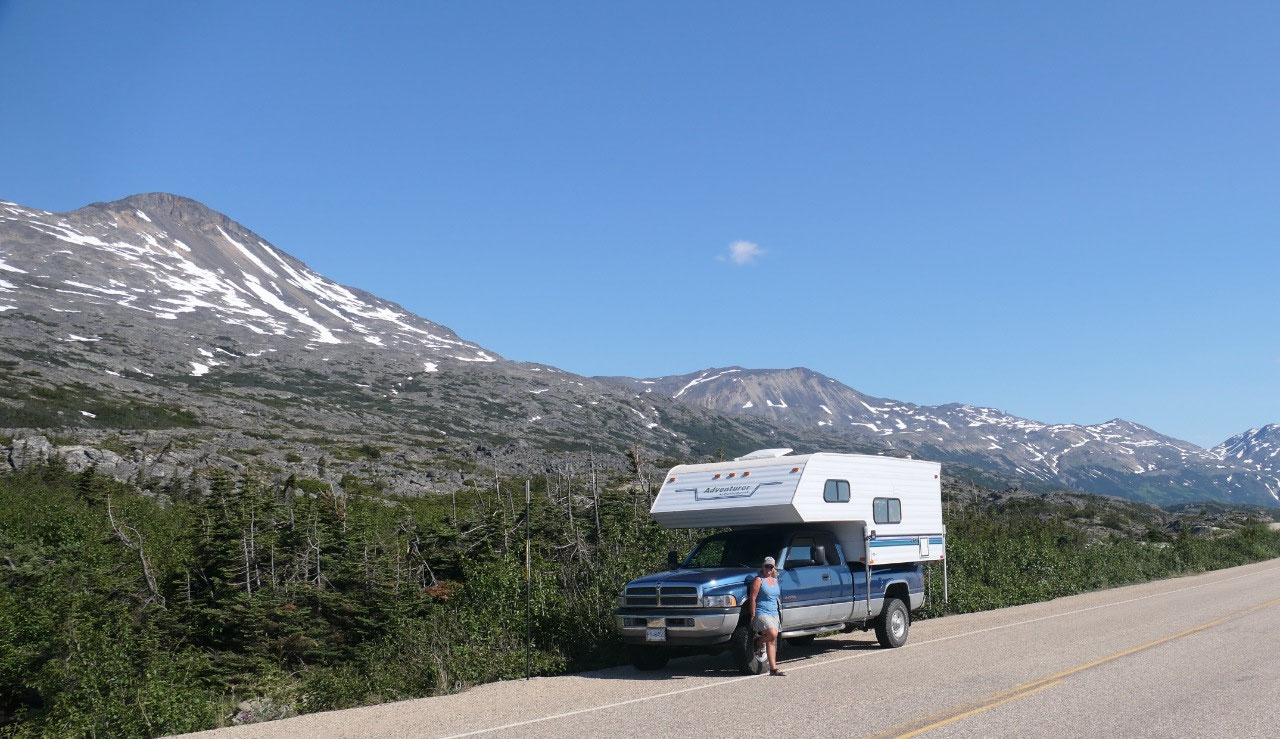
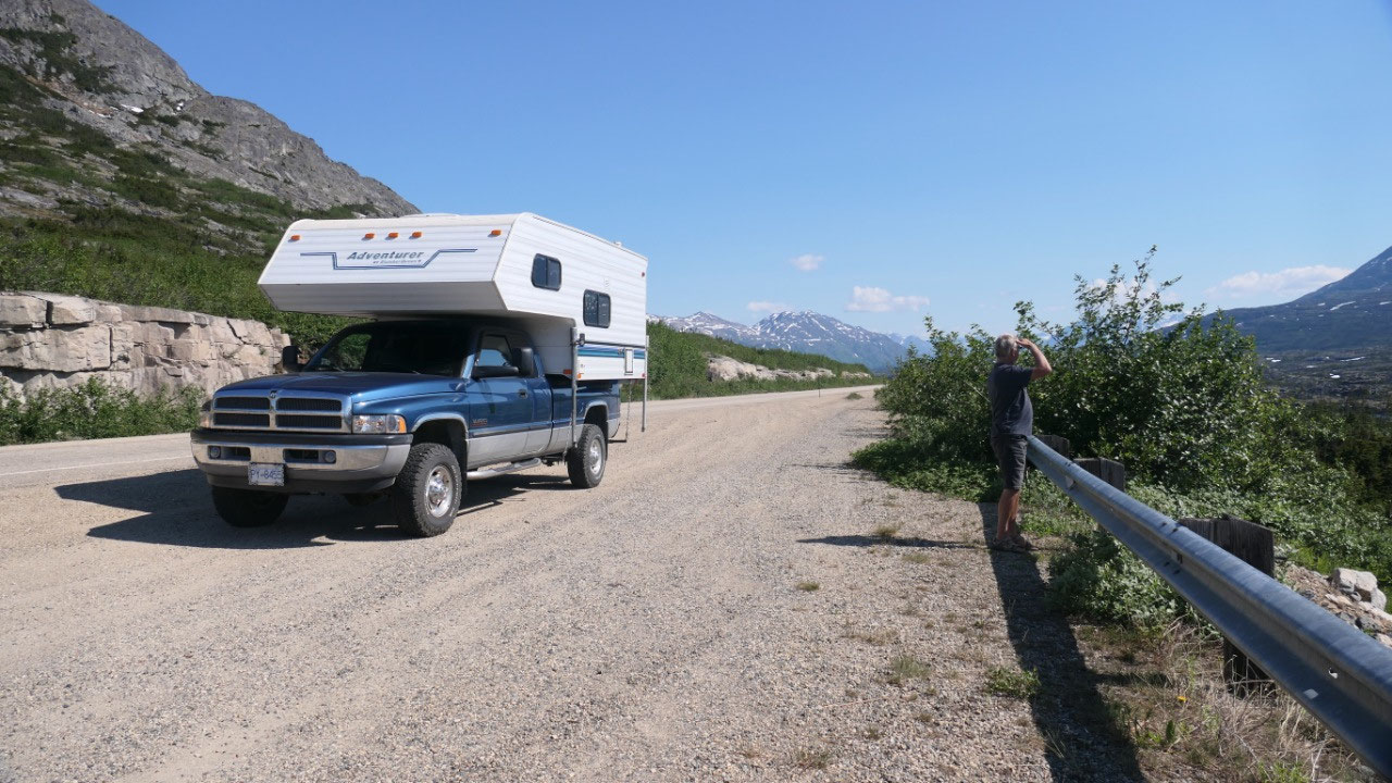
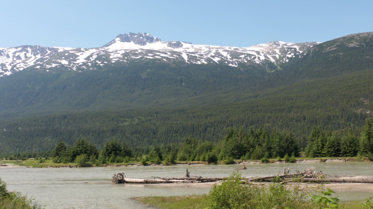
 Fraser, British Columbia, Canada
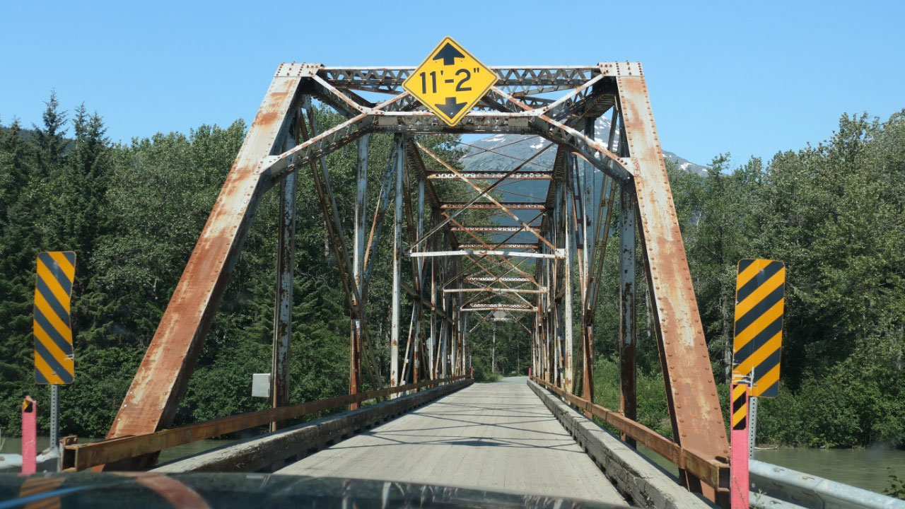
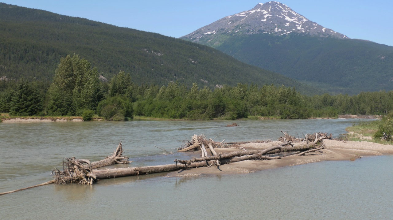
Klondike Hwy – Dyea
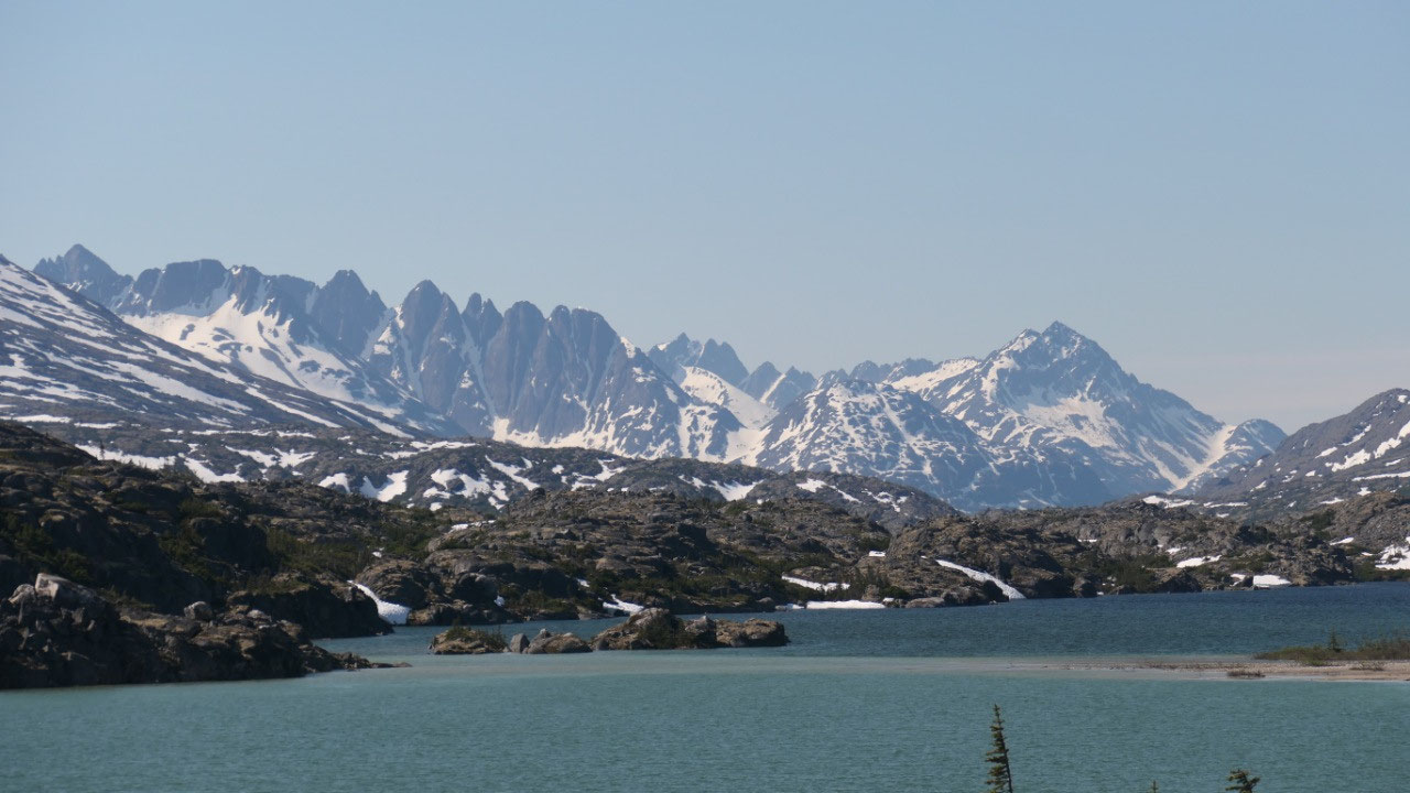
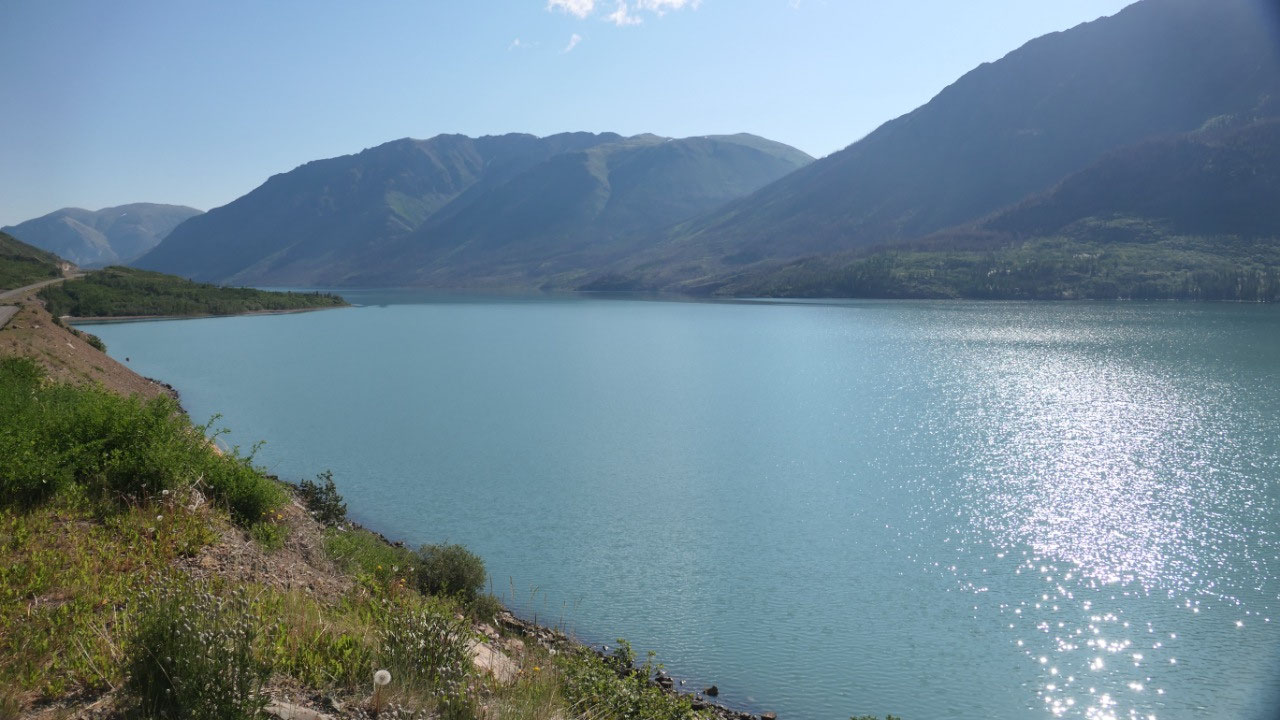
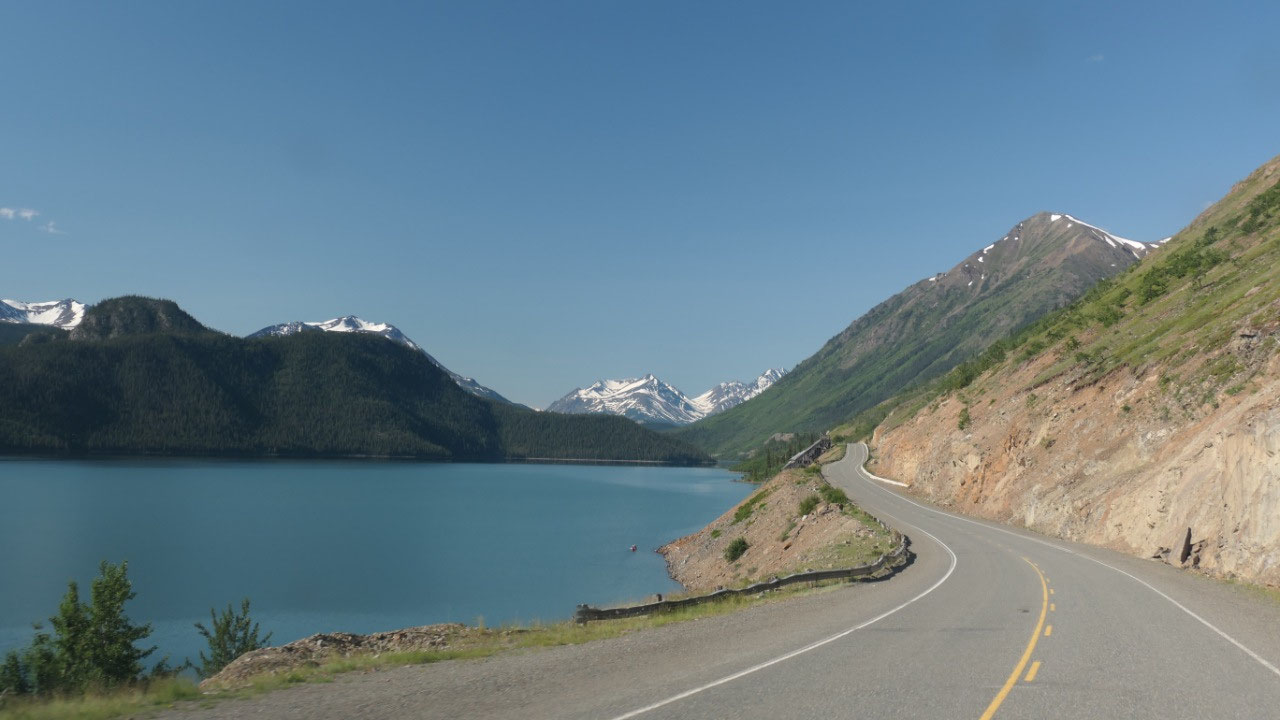
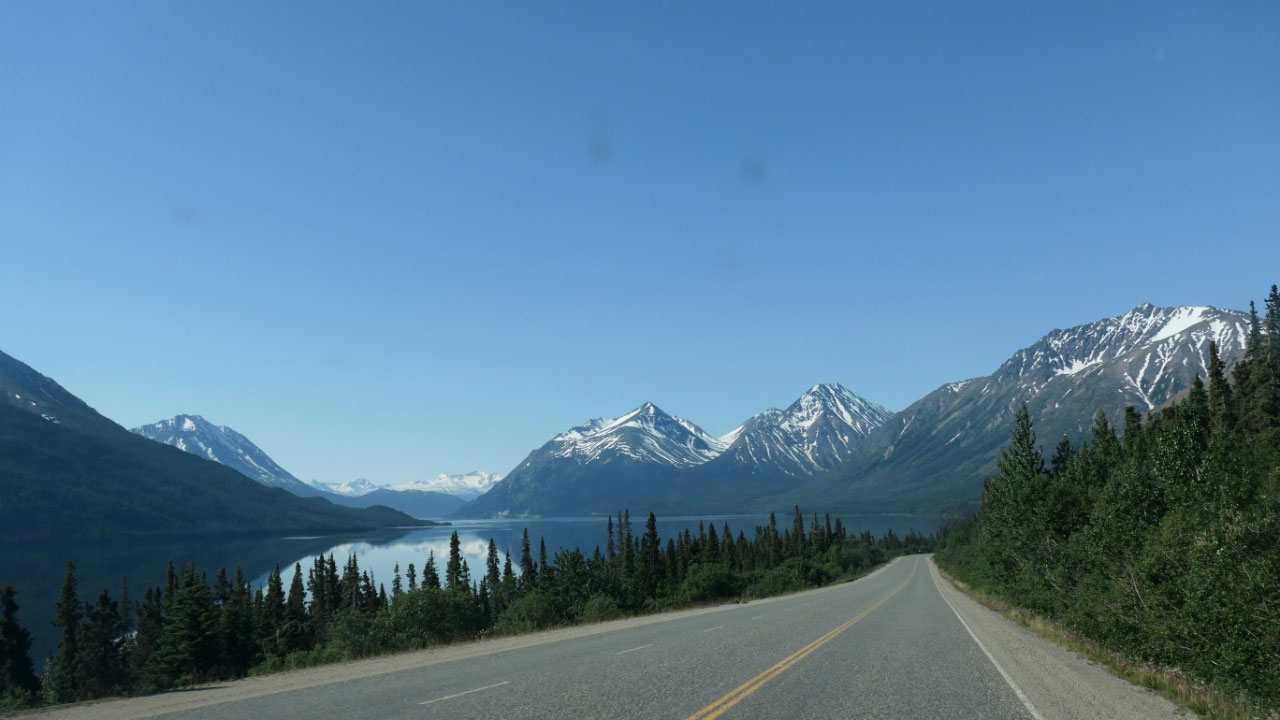
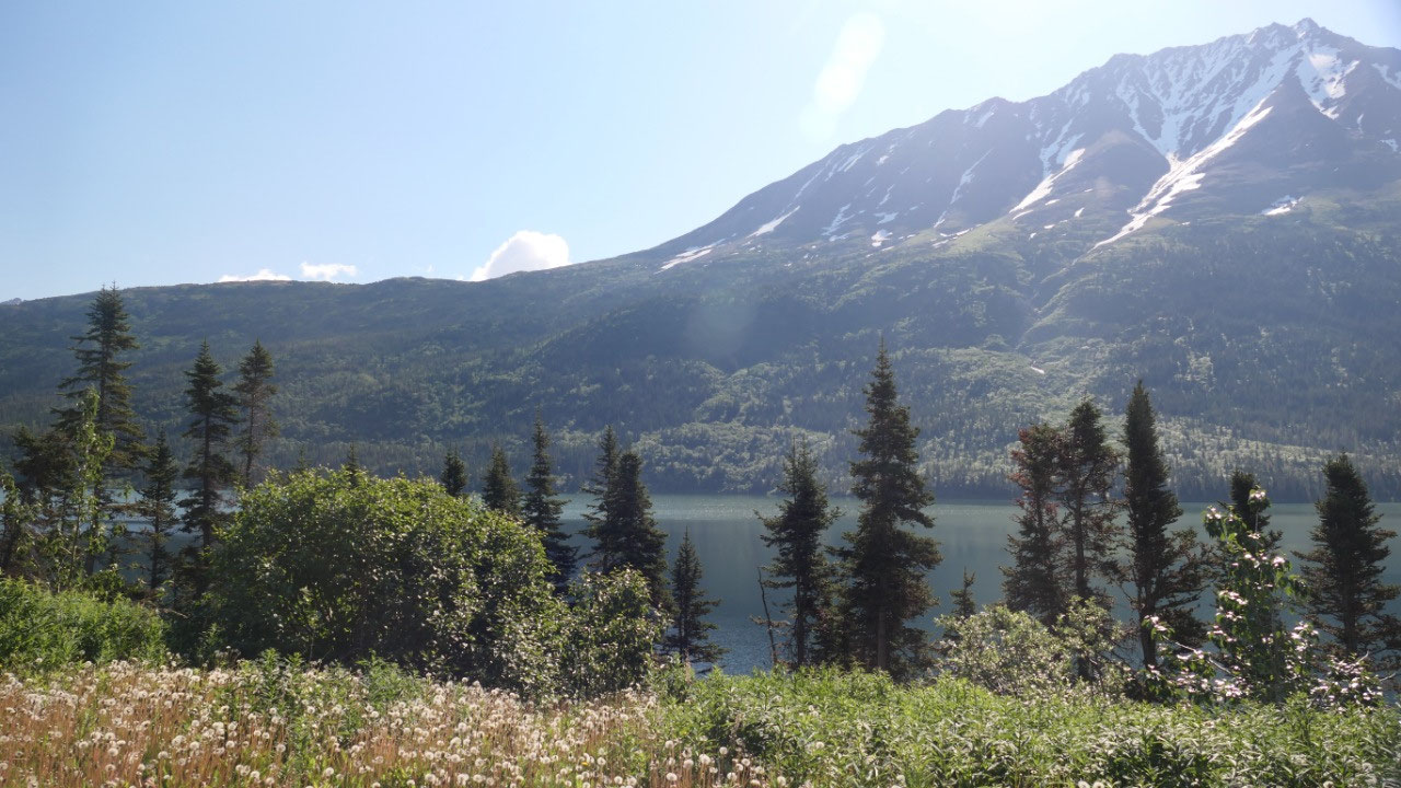
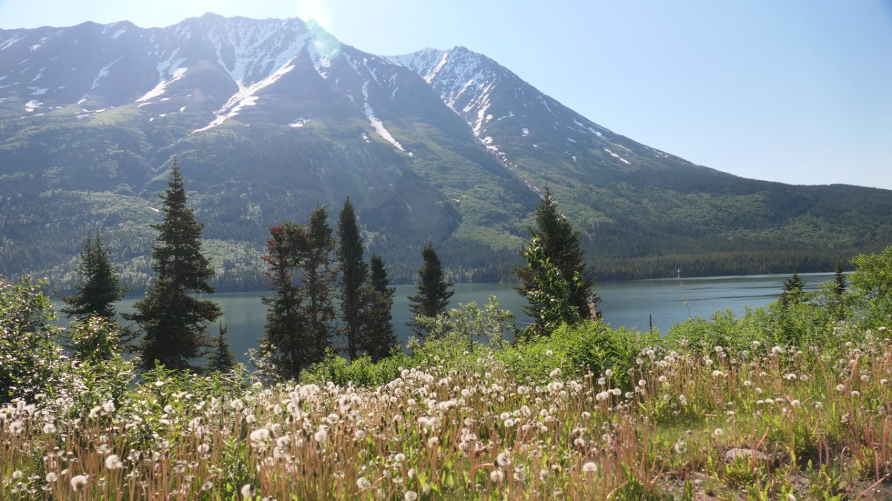
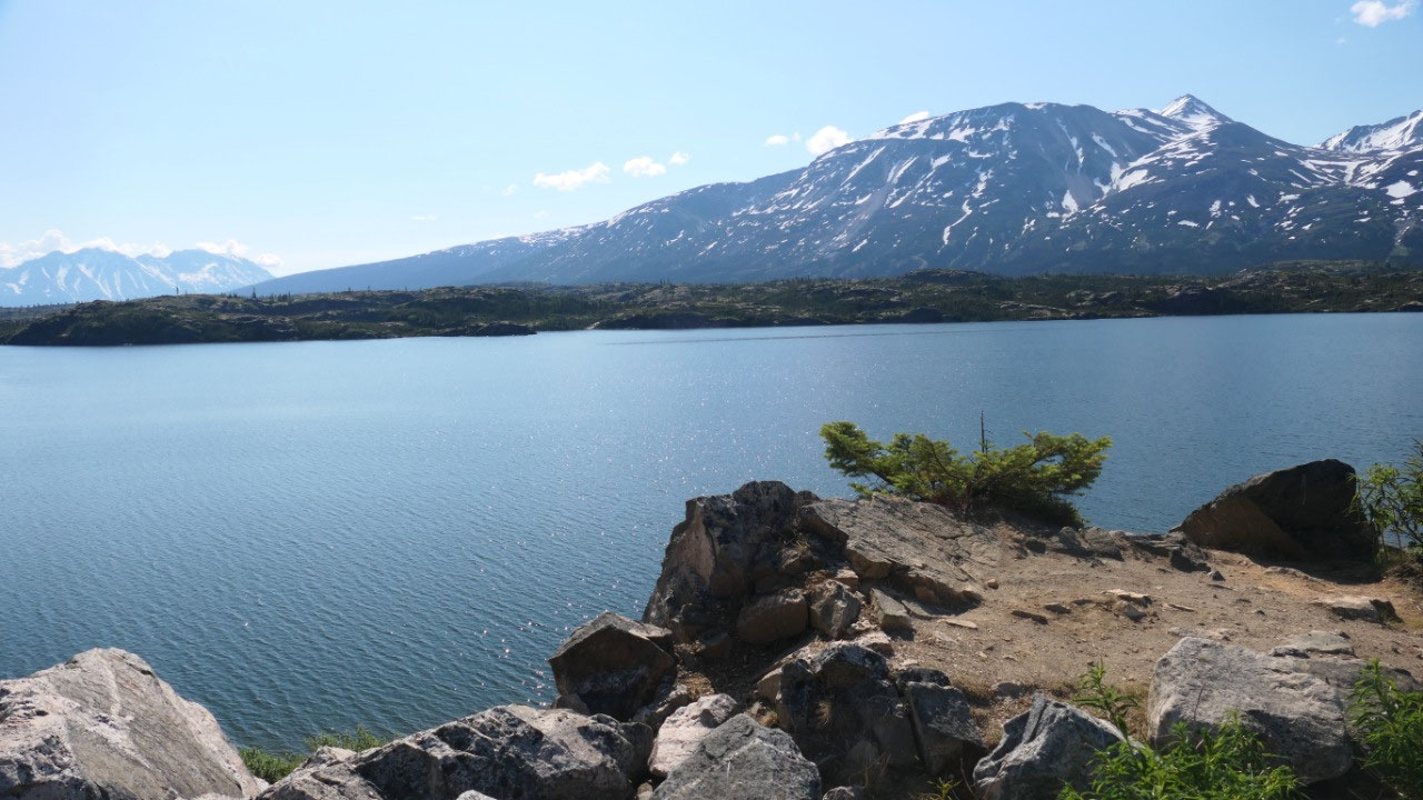
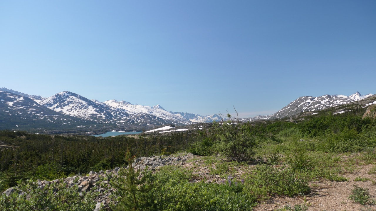
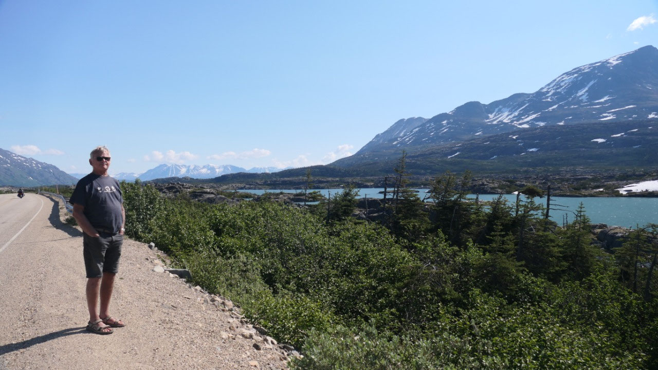
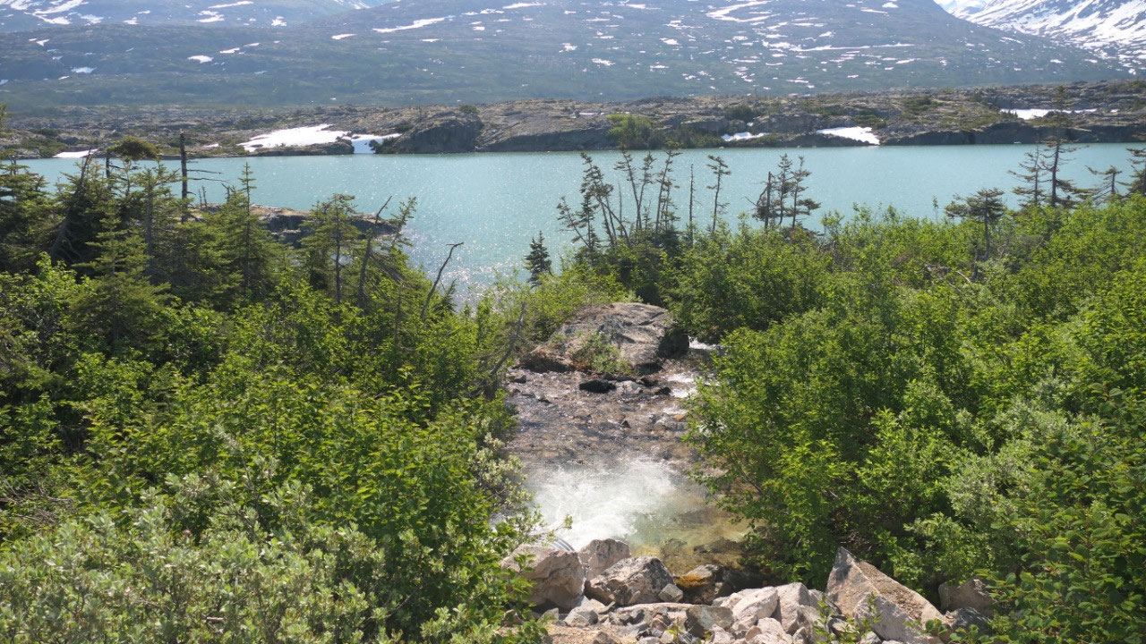
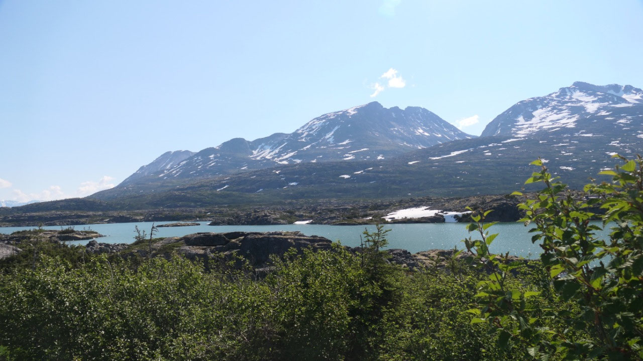
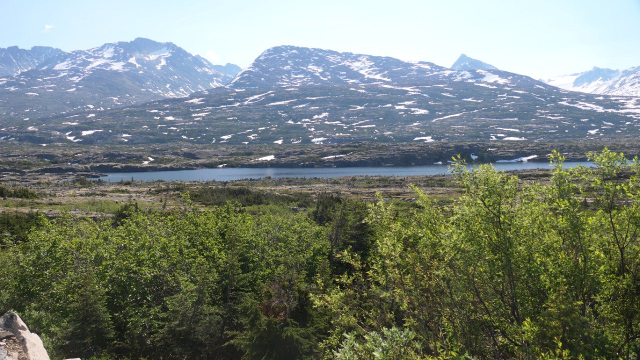
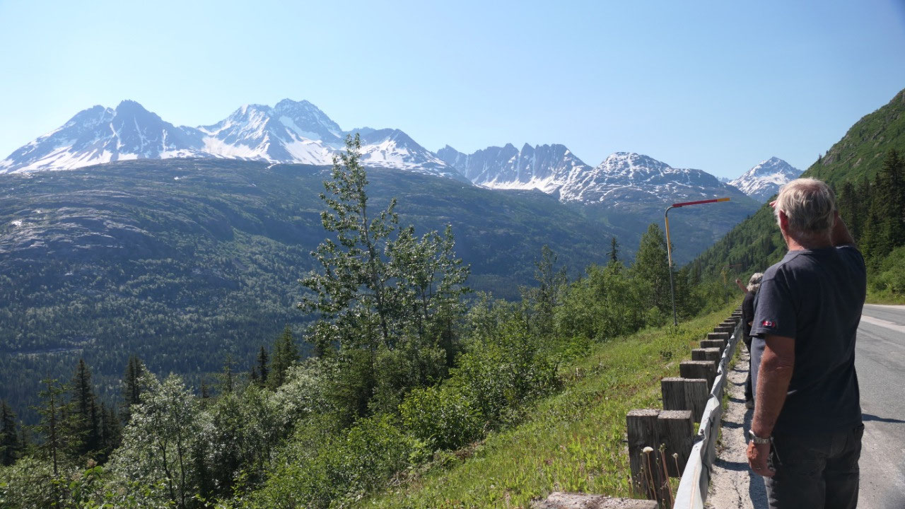
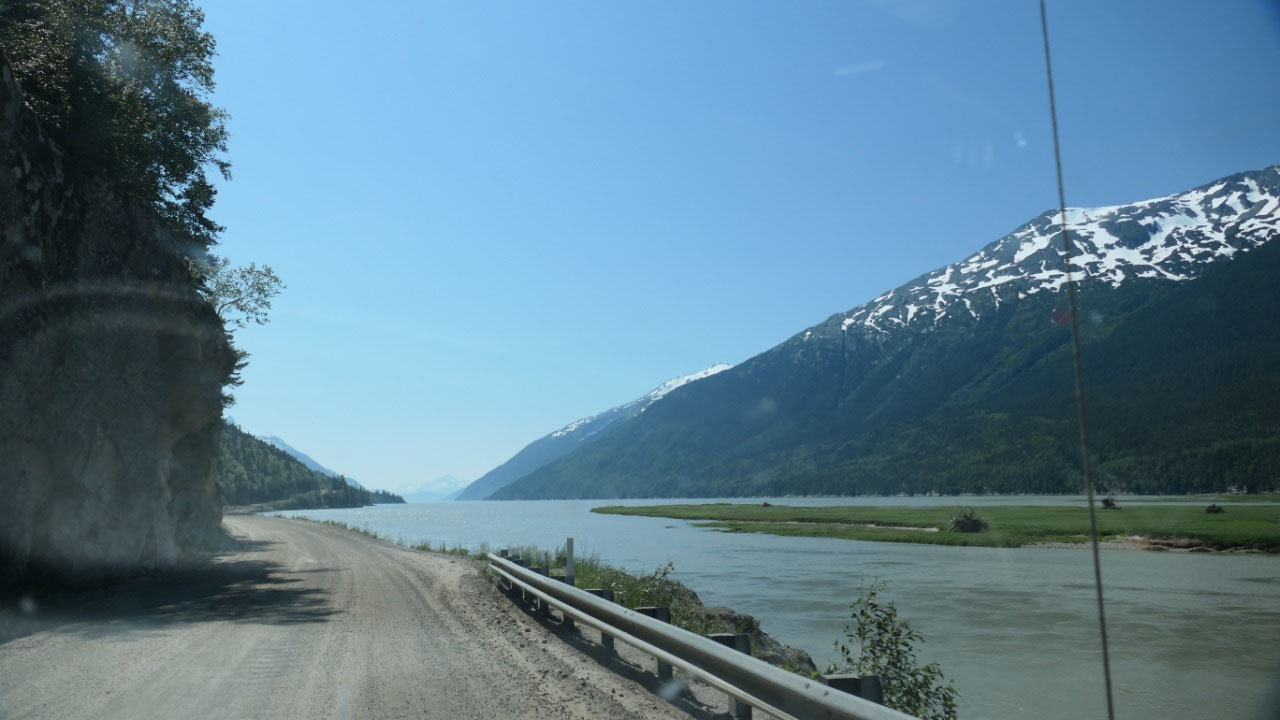
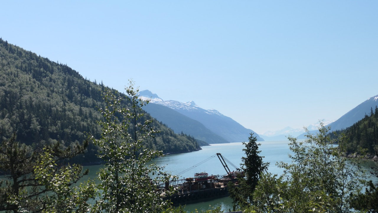
Amazing View on Bove Island
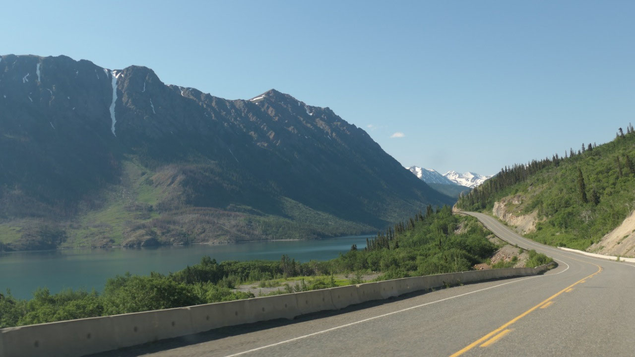
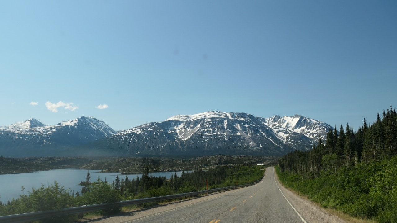
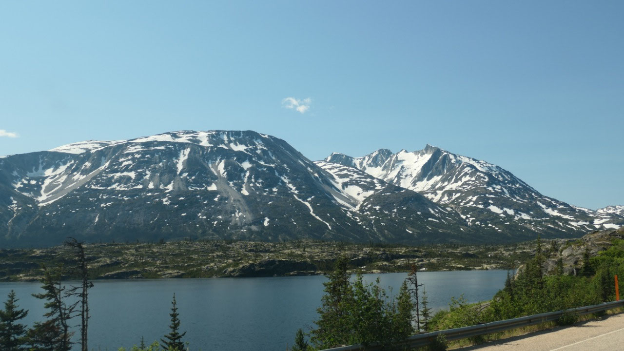
As we drive along the Windy Arm – we
have to stop at this viewpoint: from here you can see this little island in the
middle of the lake with the cool mountains in the back – it is one amazing
spot. Mandy went outside and really tried hard to catch some chipmunks in their
holes -they were quite noisy and Mandy went nearly nuts – it was not easy to
get her back into the camper.
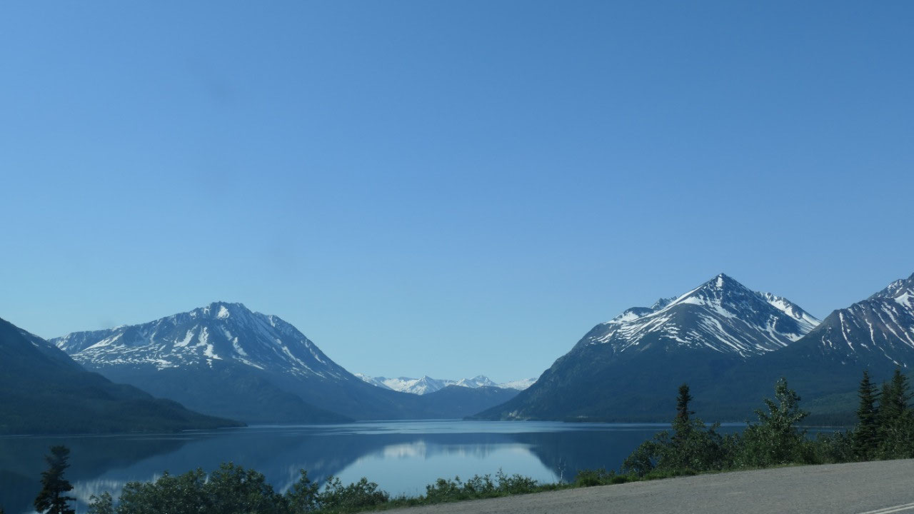
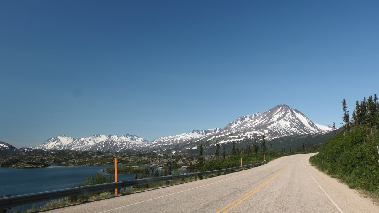
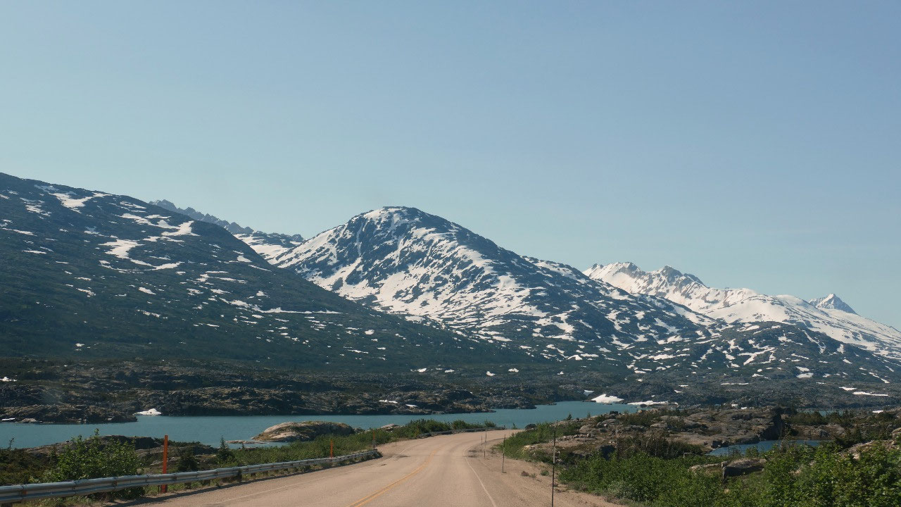
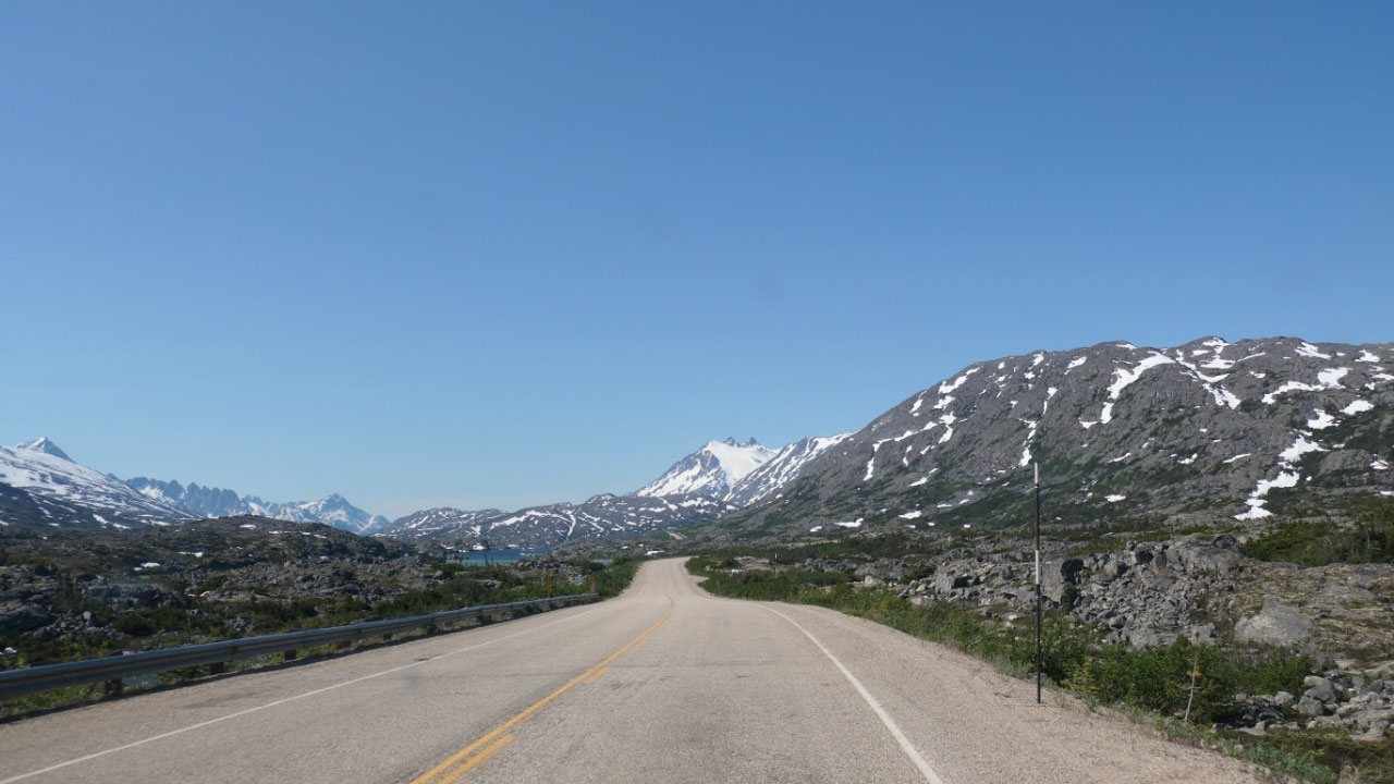
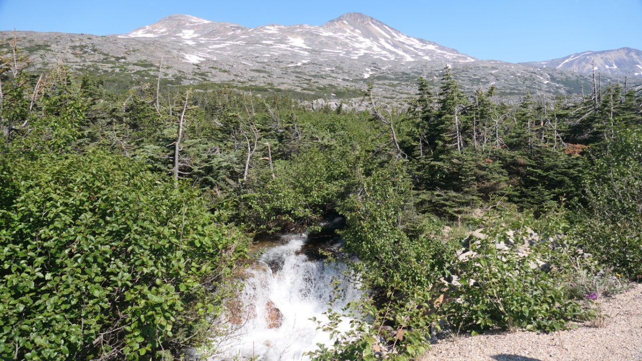
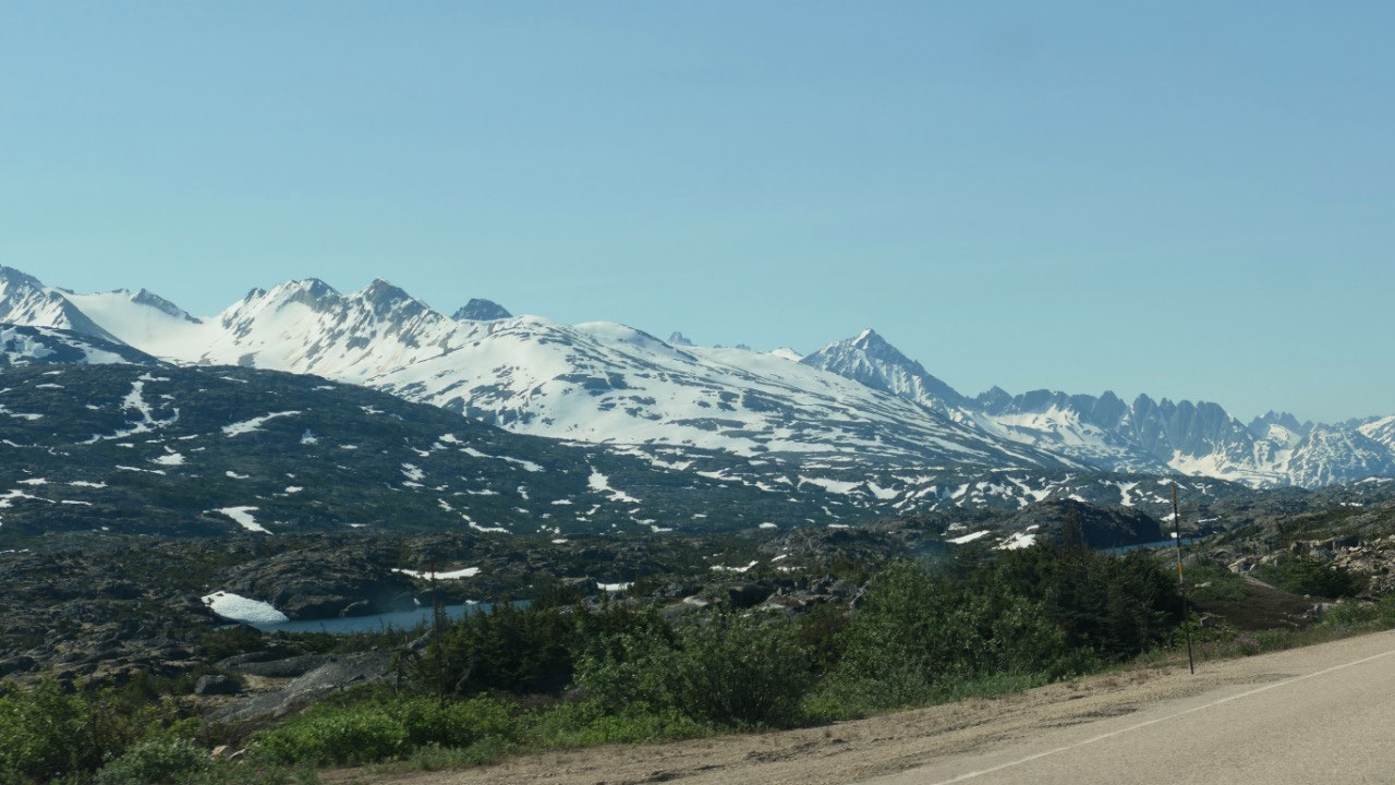
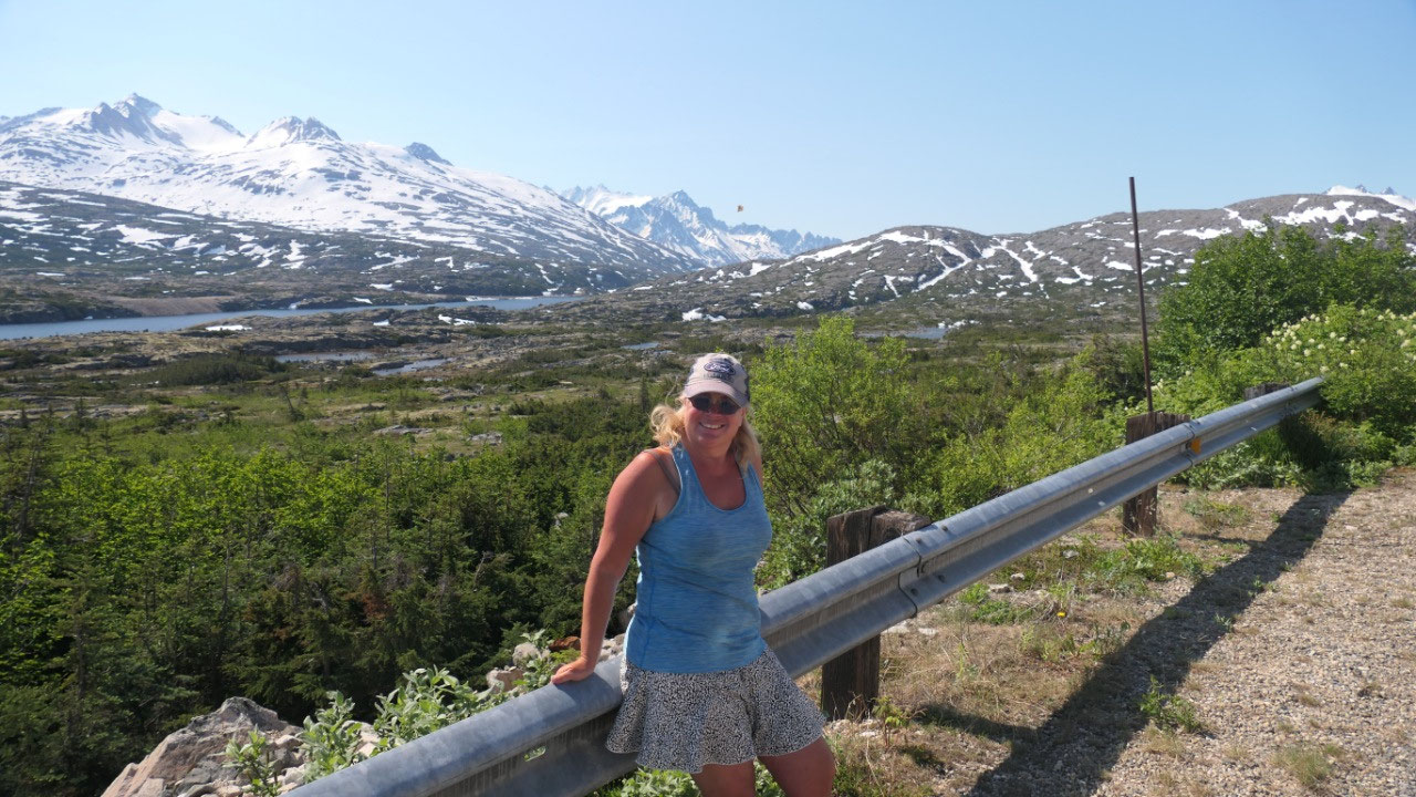
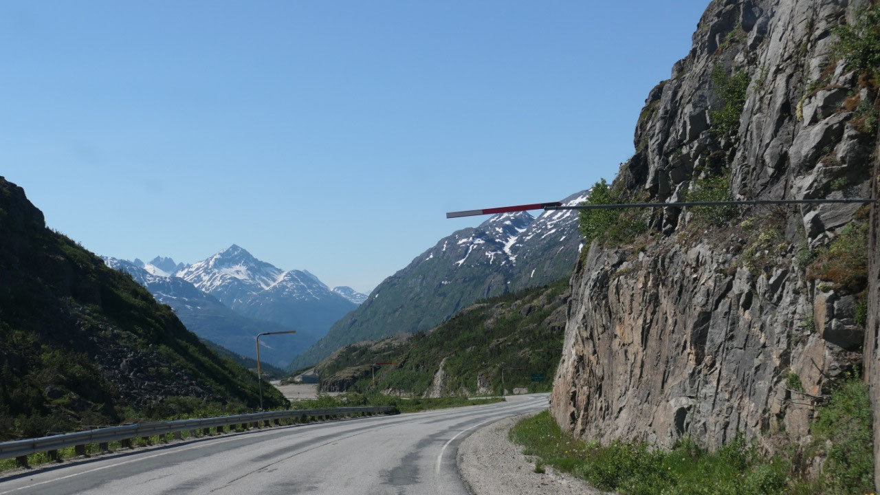
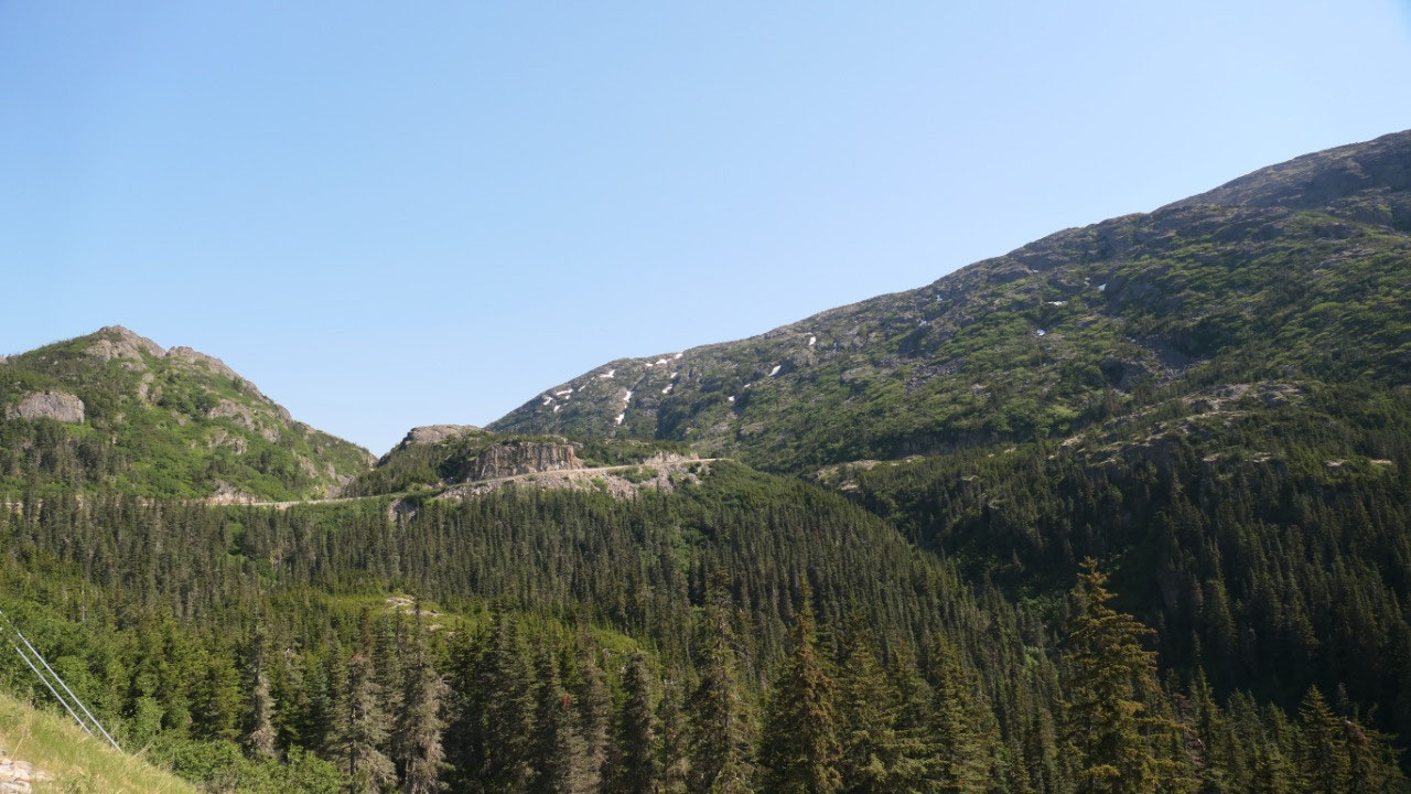
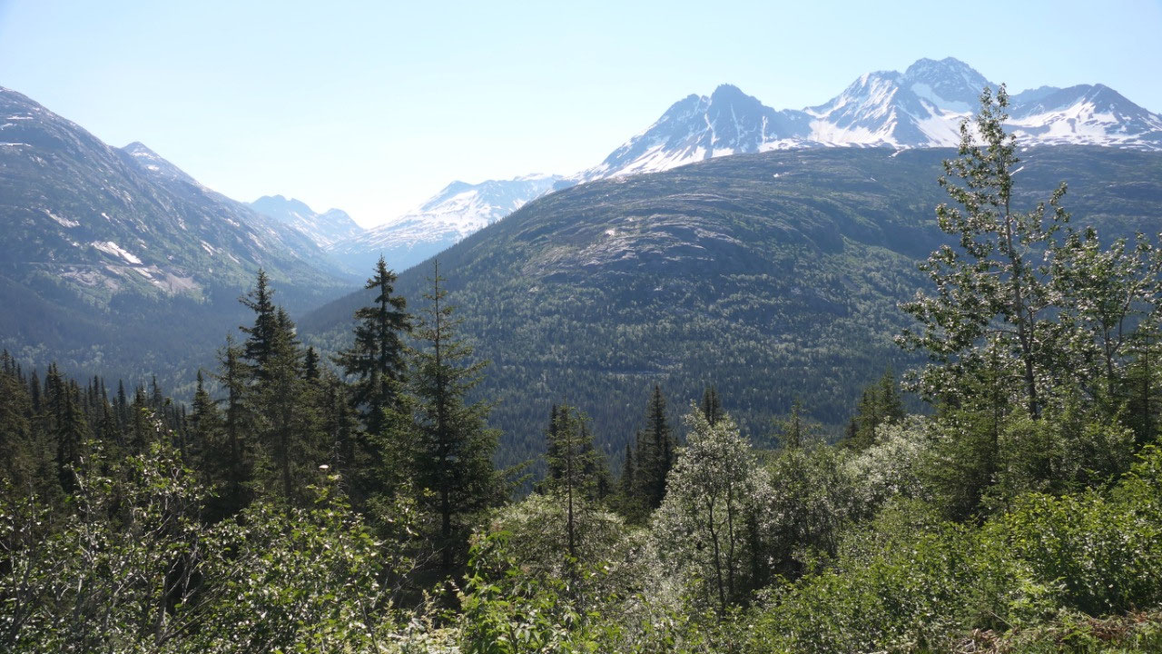
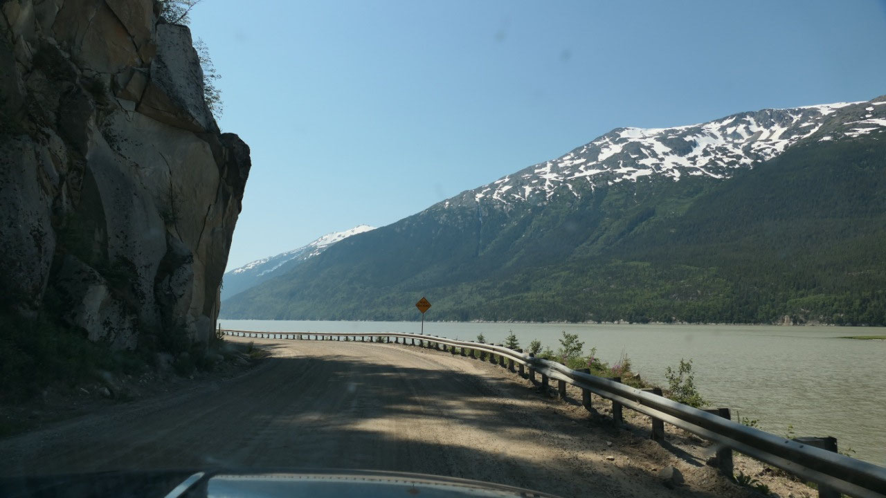
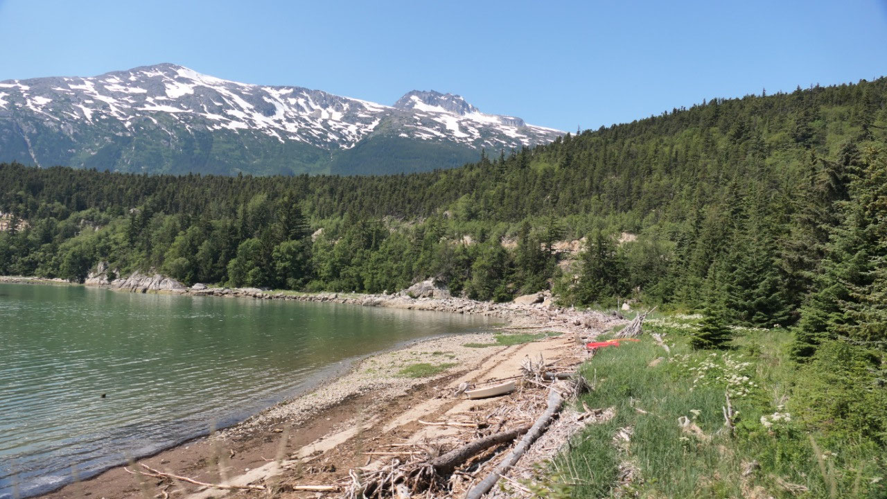
By the way on this road are so many
super amazing viewpoints: Gine could stop every km – as where Paul is not for
stopping every 5 Minutes.
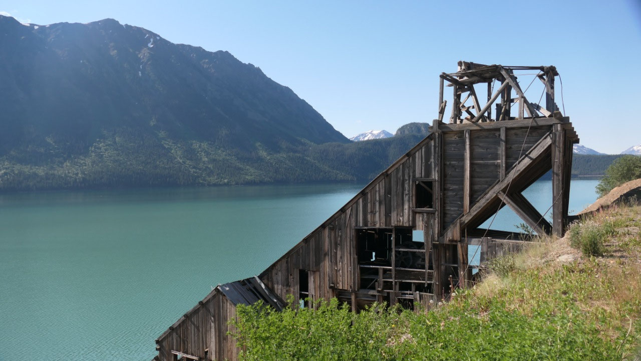
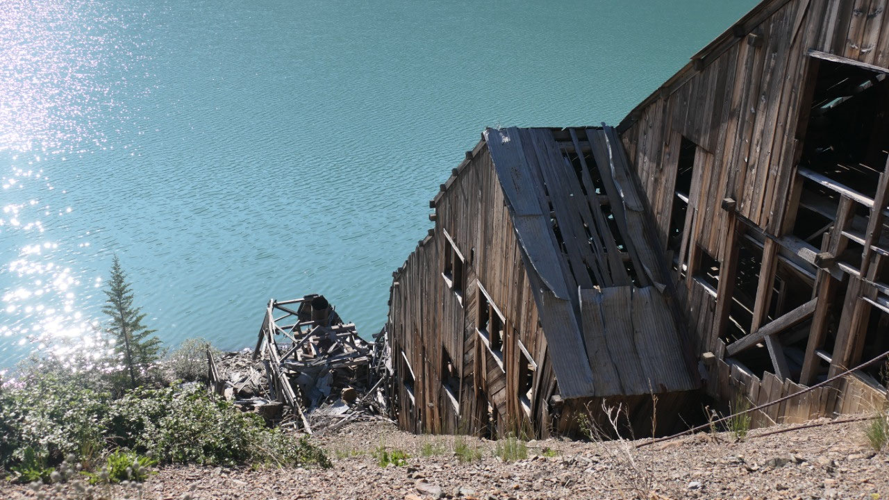
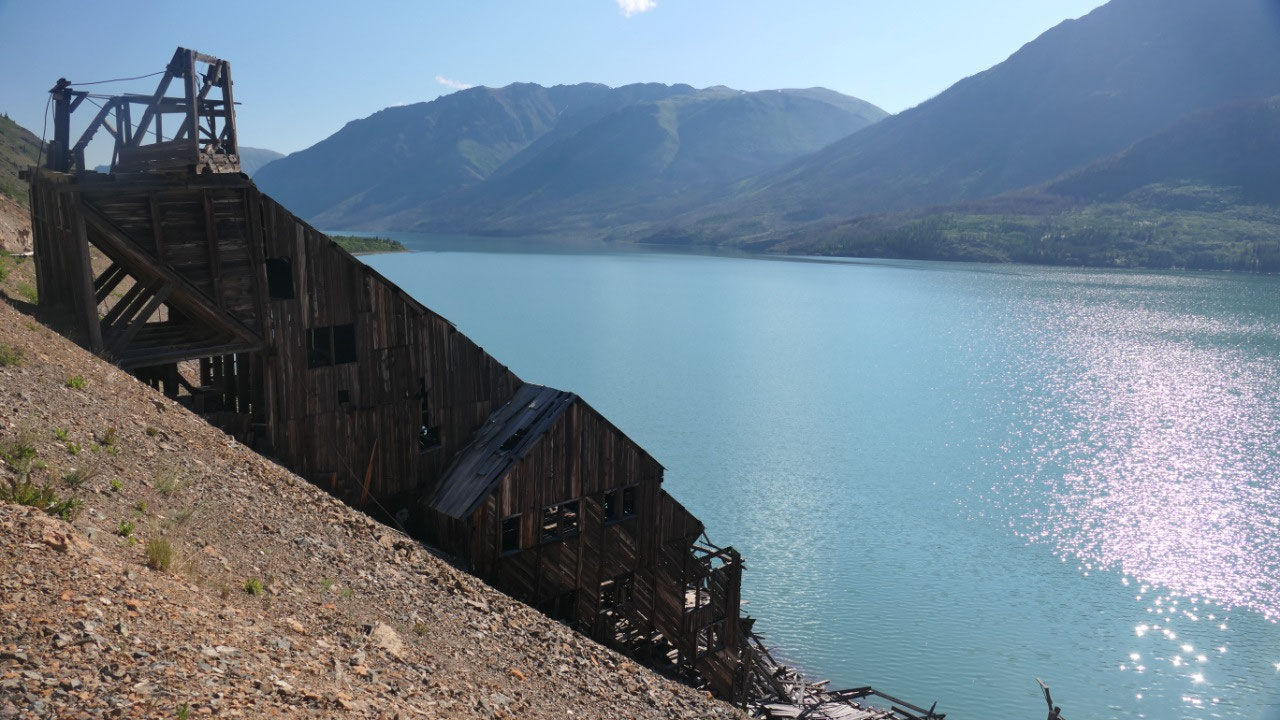
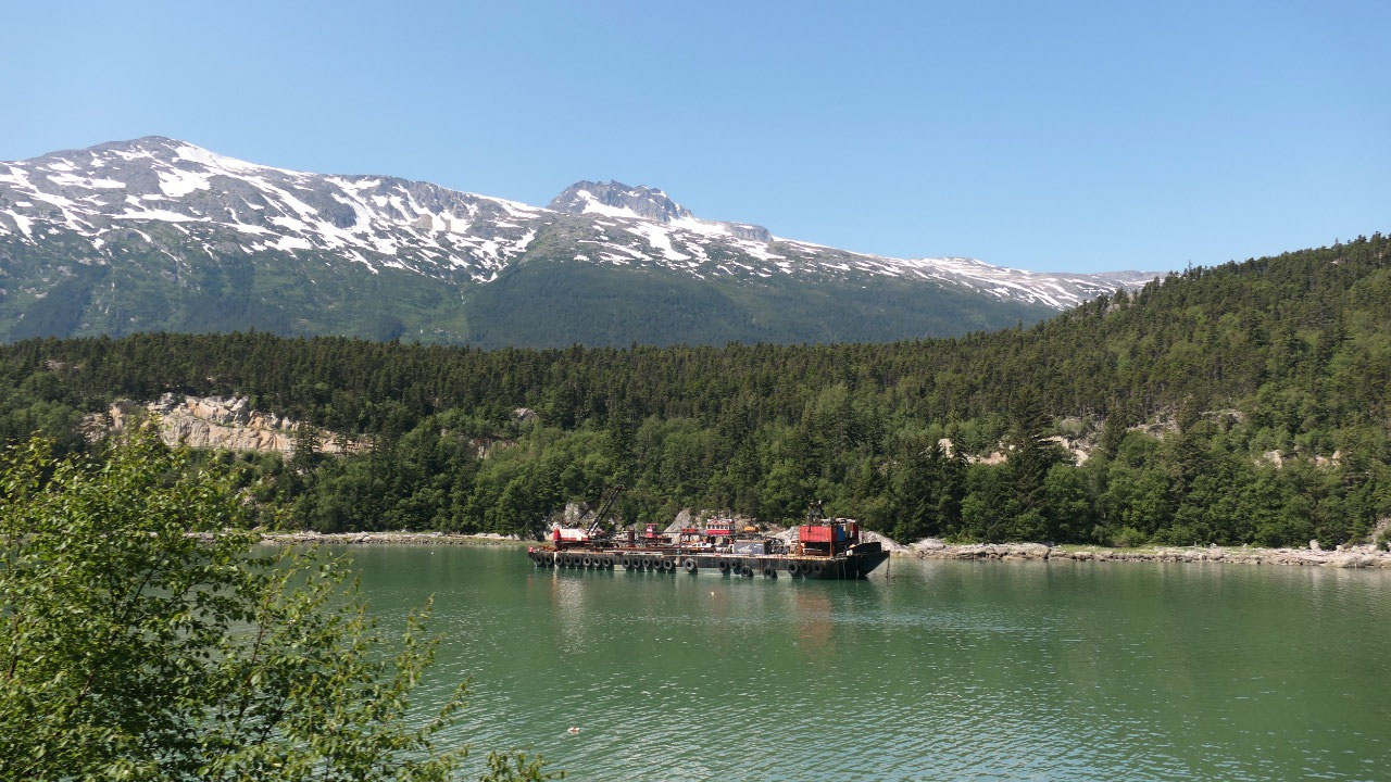
We stop at the Venus mine
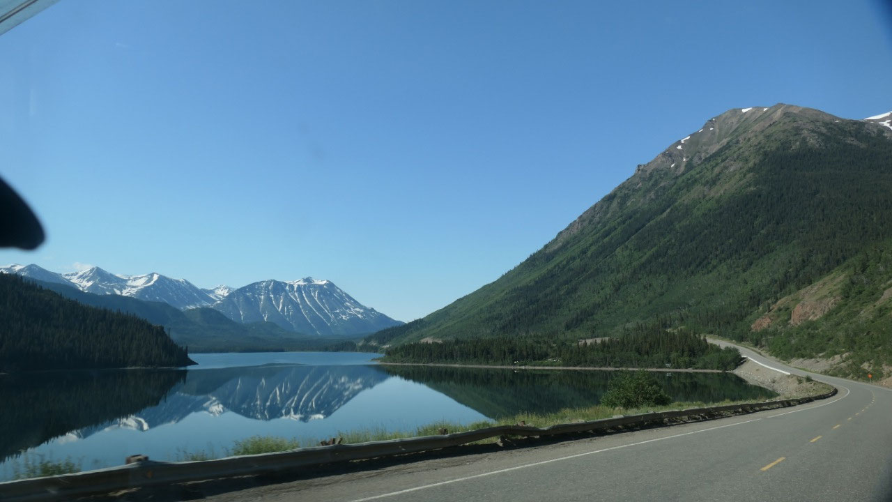
As we drove along the Windy Arm we saw
this wooden structure we stopped to have a closer look at this old structure
and enjoy the views:
- John Conrad dreamed of making his Windy Arm district silver mines the best on the continent with a state-of-the-art concentrating mill (ok now we also know where the name of Conrad City comes from)
- The Venus mill was built in 1908 – gravity pulled a line of ore-filled tipping buckets 460m down and aerial tramway cable from the mine to the mill. The belt driven mill machinery crushed and ground ore into a powder the minerals got concentrated and floated out of the crushed rock with chemicals and dried and then shipped with the steamboat to Carcross
- Conrad spend a fortune on his dream until in 1912 when he was forced into bankruptcy, the mill got sold and run from 1918-20: at the peak the mill produced 10 tons of silver ore.
- In 1970 and 1979 new mines at a different side of the hill recovered half a millionen ounces of silver and 12.000 ounces of gold
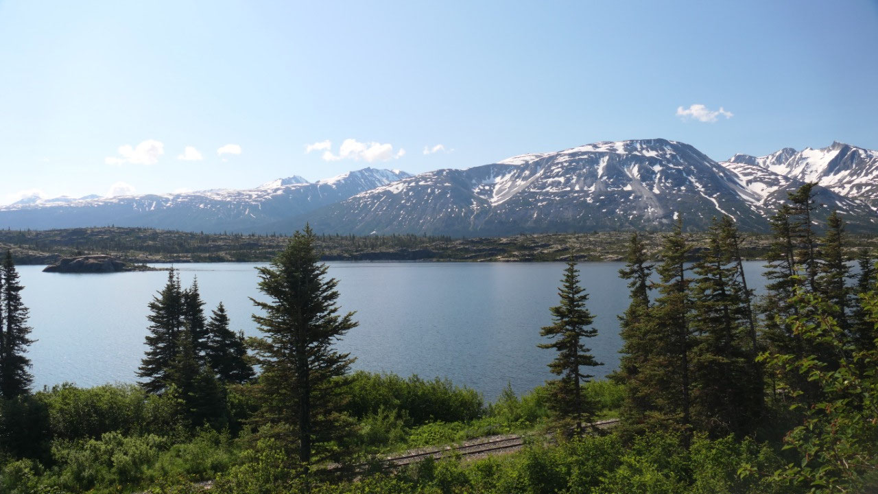
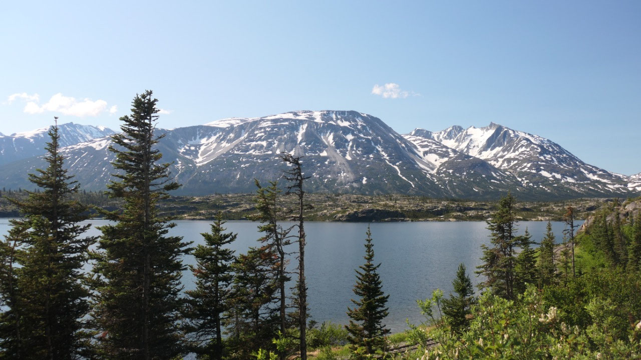
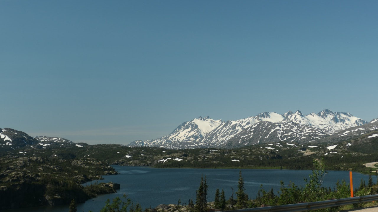
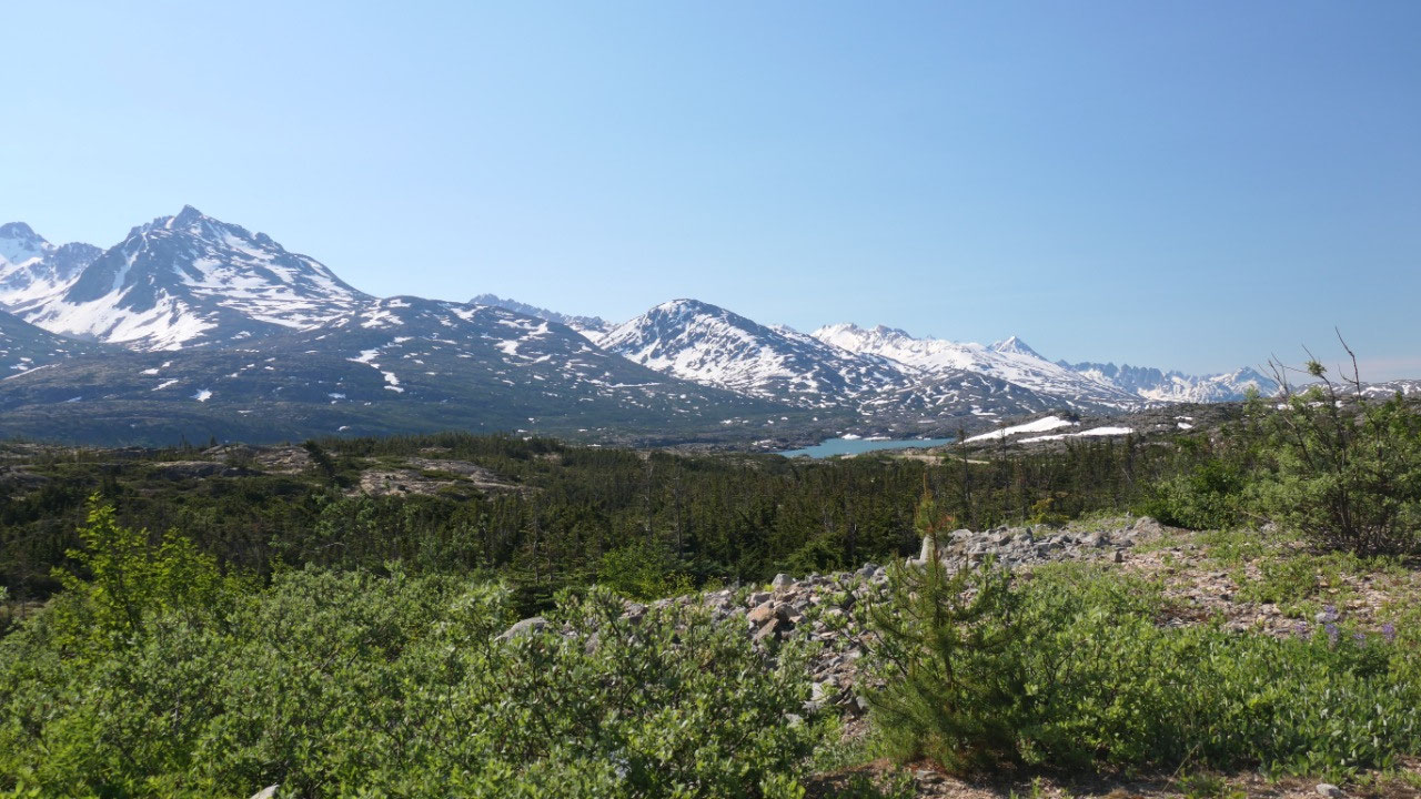
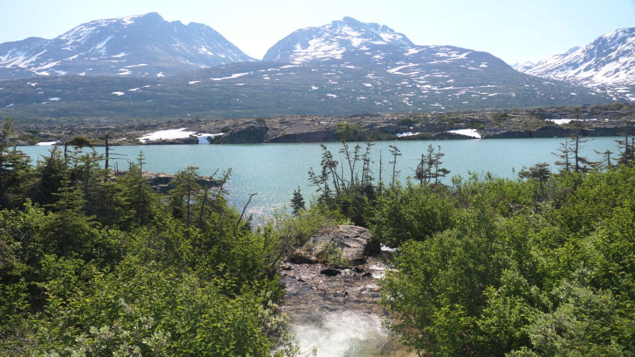
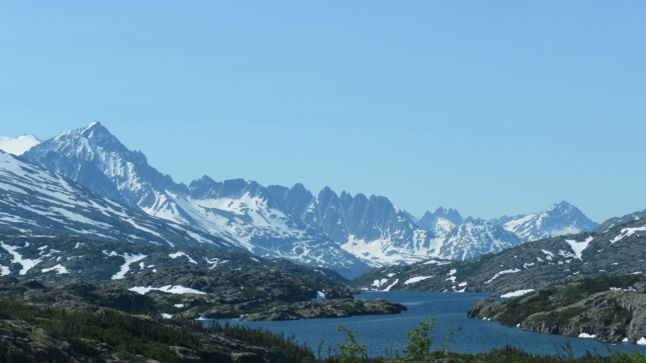
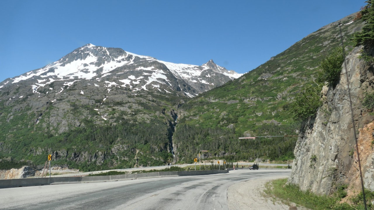
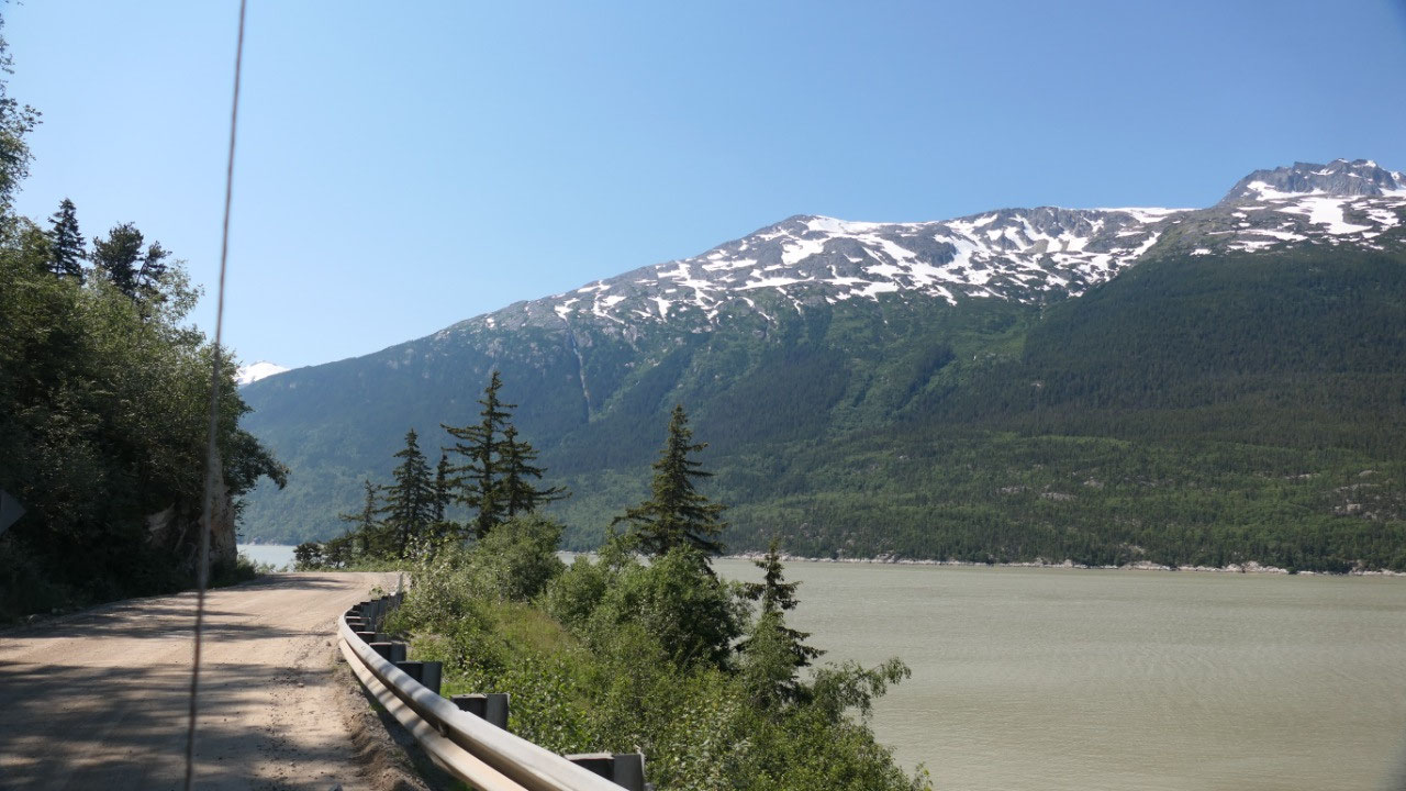
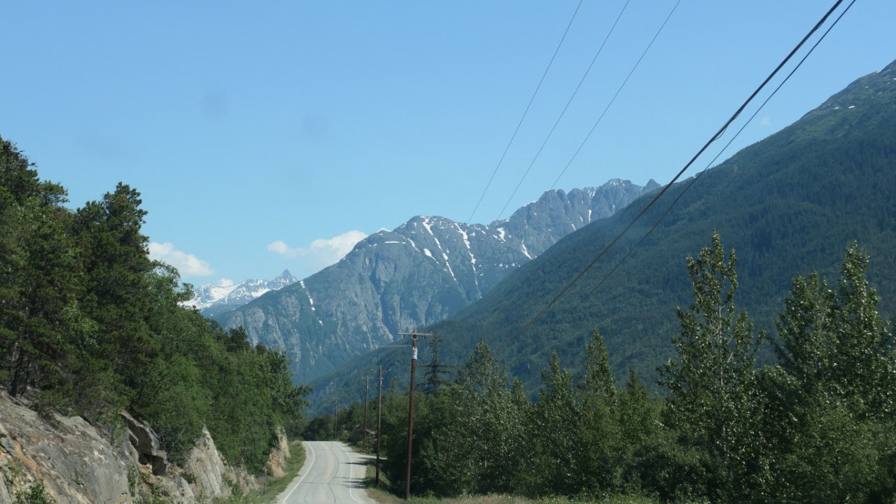
We then continued on to drive along
the Windy Arm and the Tutshi Lake – it was a beautiful drive.
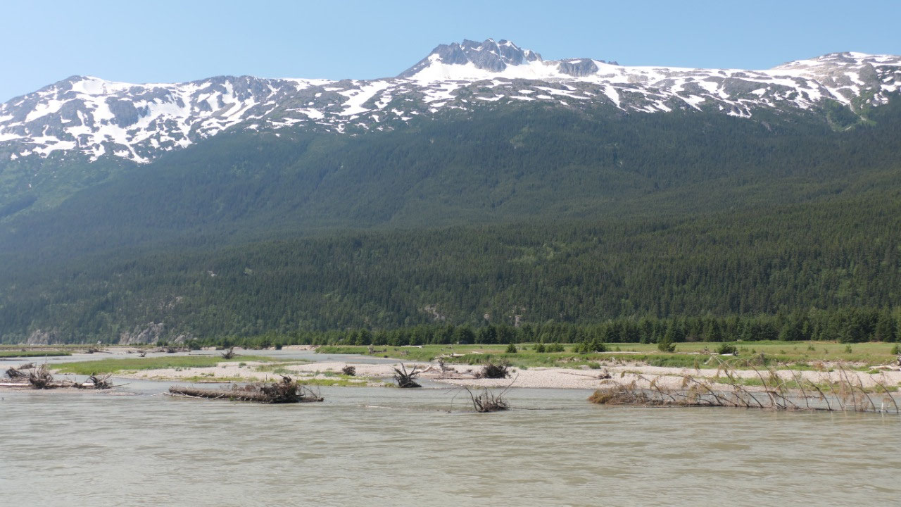
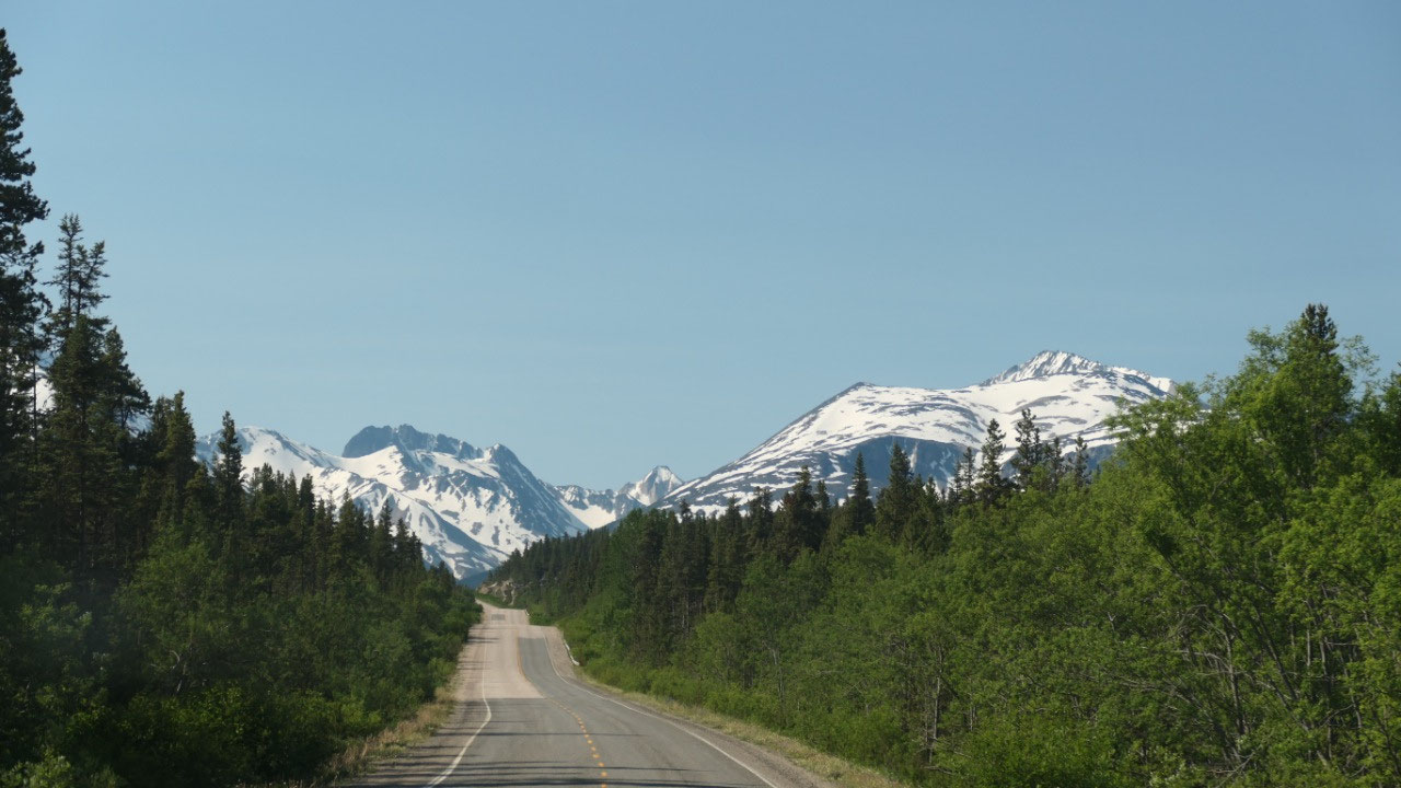
From Yukon to BC
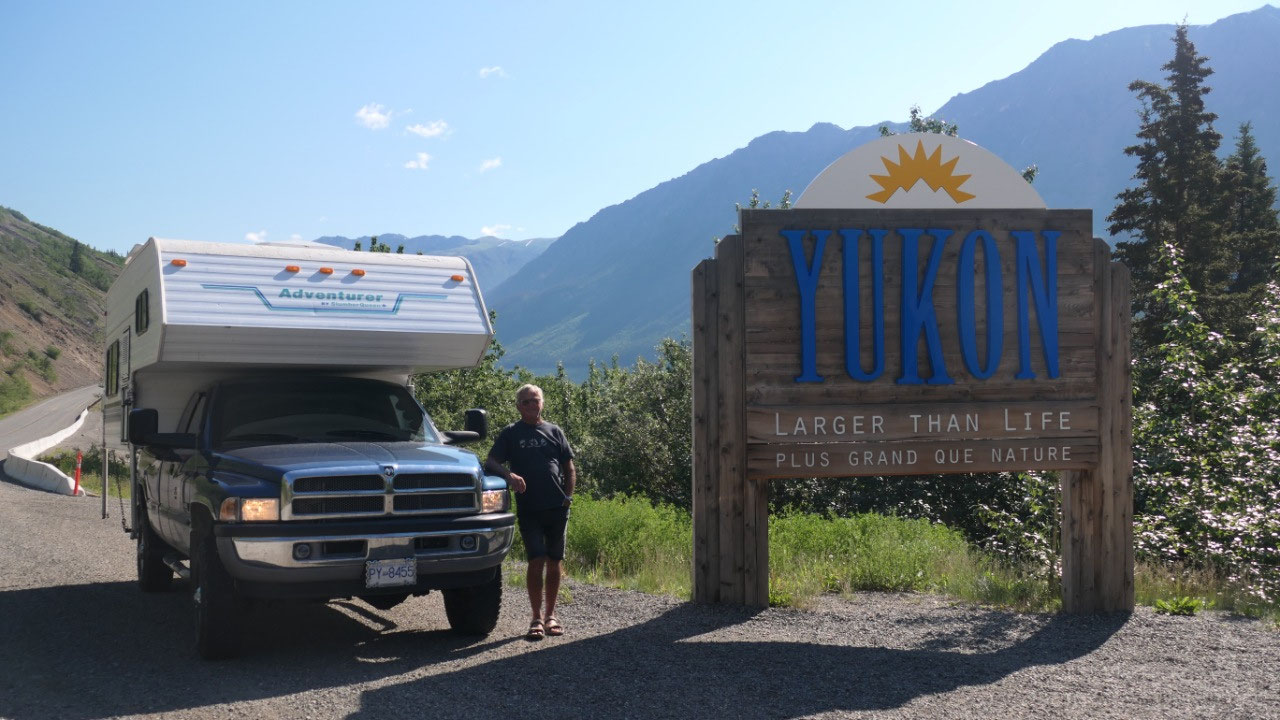
Again we leave the Yukon and enter BC:
this time we stop so we can get the perfect Welcome to the Yukon “Larger than
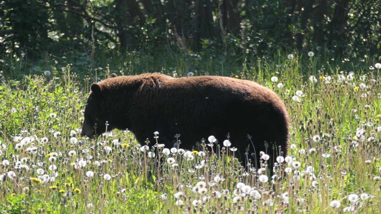
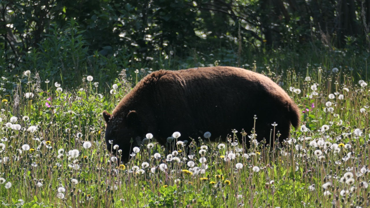
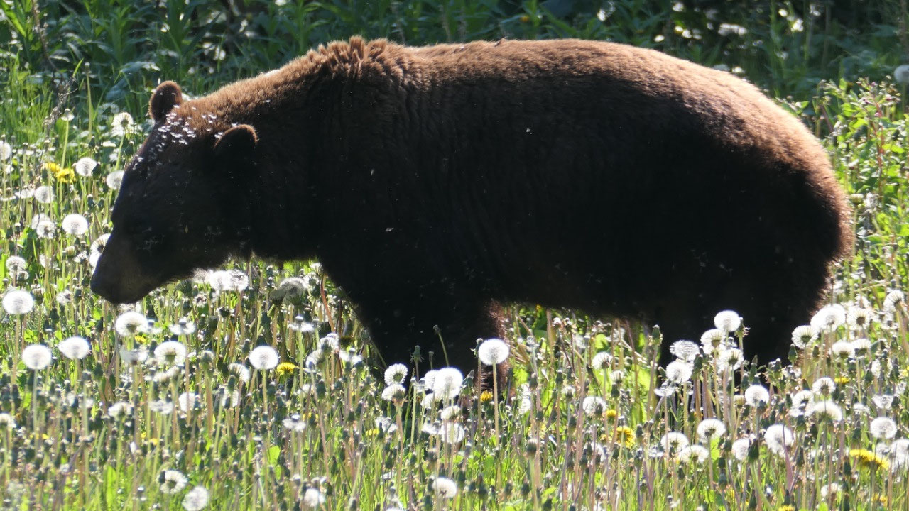
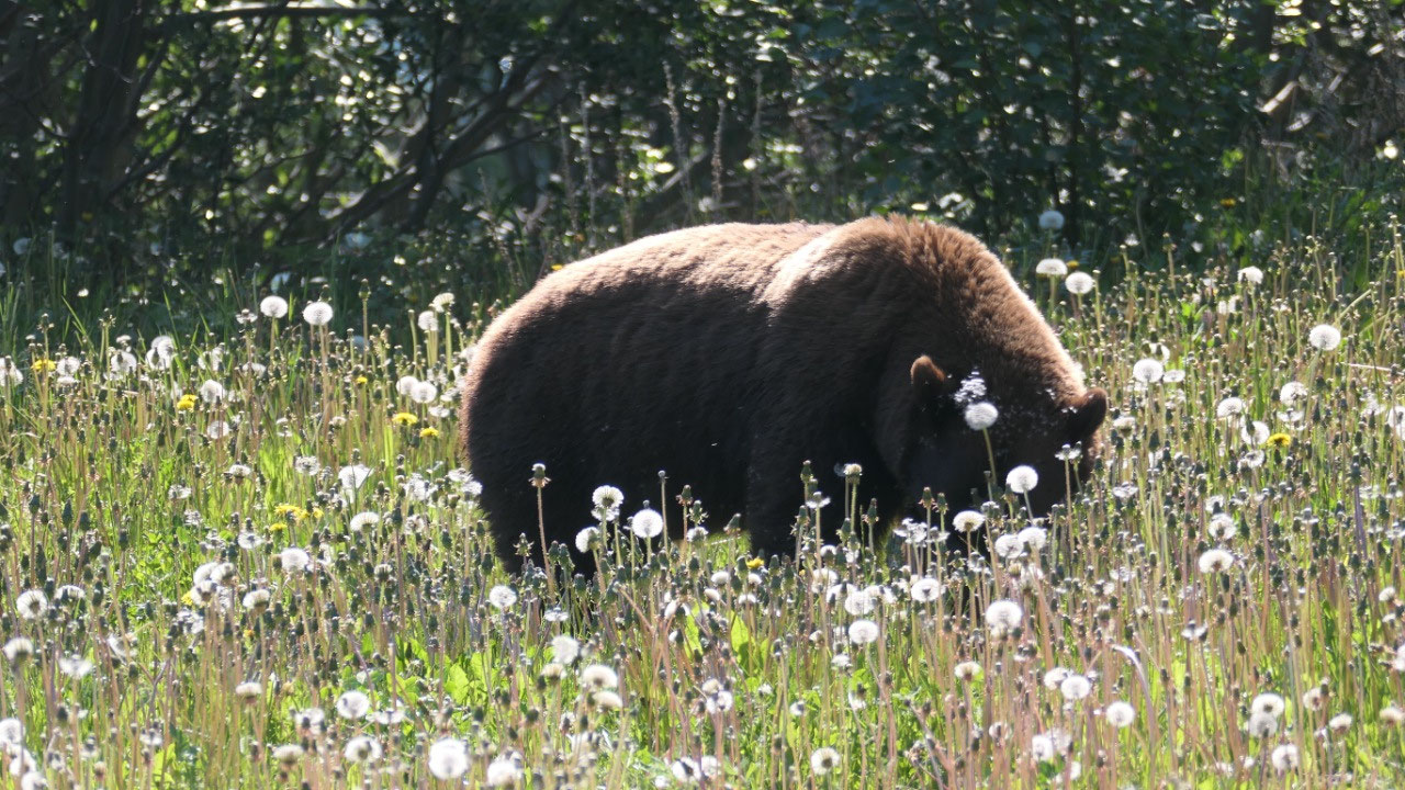
life” sign. After every corner the view is more beautiful. Soon after we stop
because we see another brown Bear and as we stop a tour-bus stops too (guess he
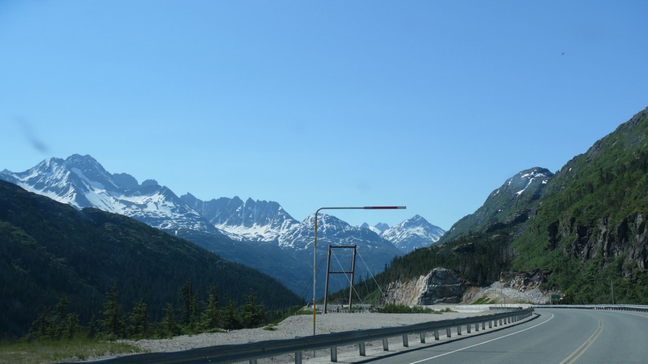
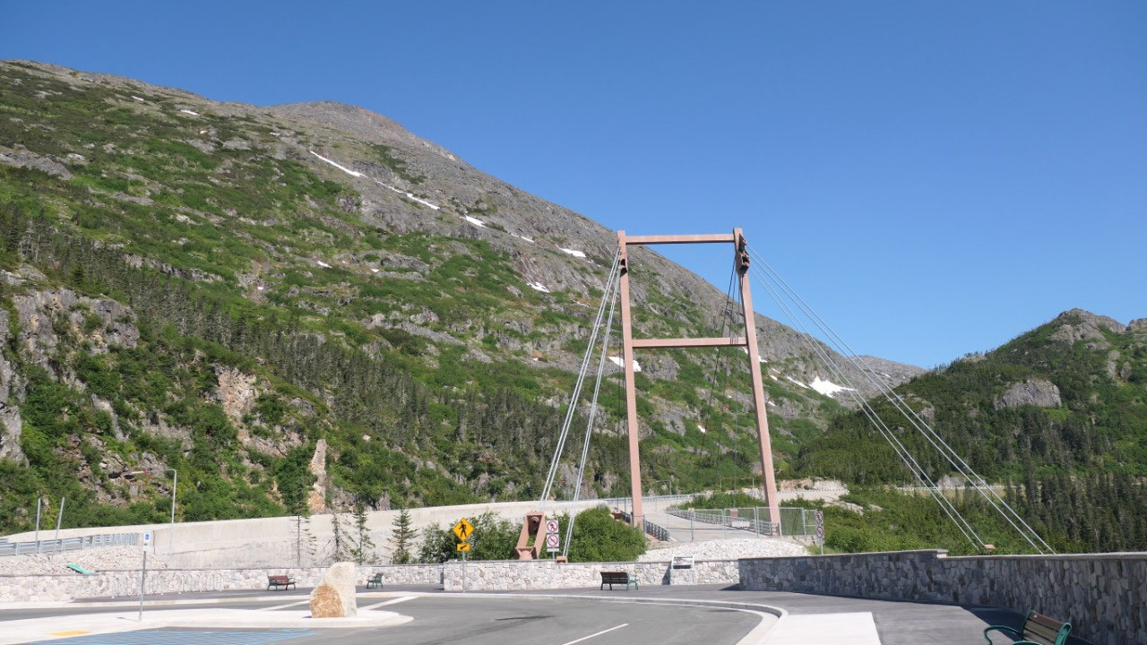
was happy that we found a bear). We stopped at the Yukon Suspension bridge and
decided that this is a rip-off (we are glad we didn’t pay as the drive
afterwards was super amazing).
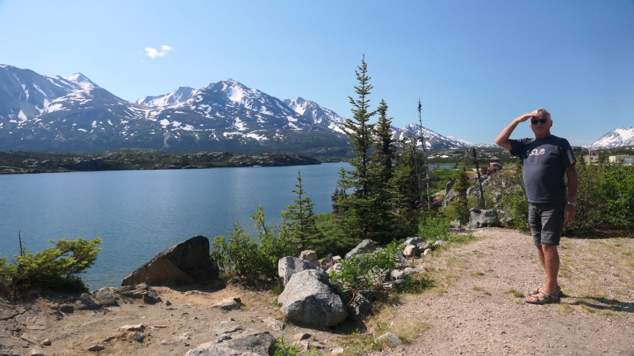
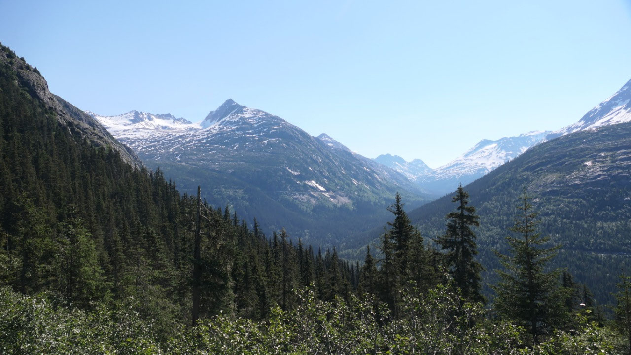
The Golden Circle Route:
Drivers be warned!!! Dramatic landscapes will be competing for your attention as you journey past turquoise rivers, a dessert, across an ocen channel and internation bordersn and through powering moutanin ranges!!! We did it - so cool!!!
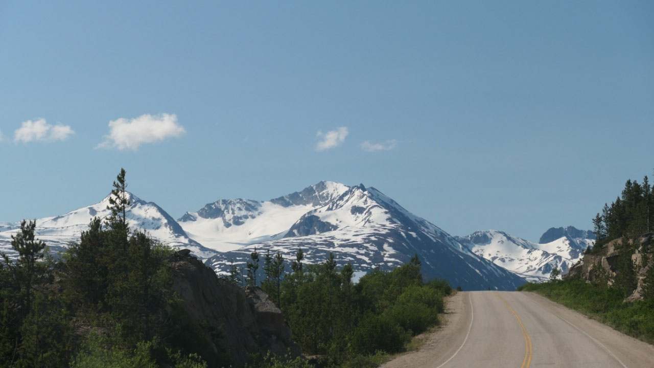
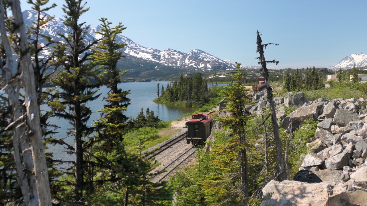
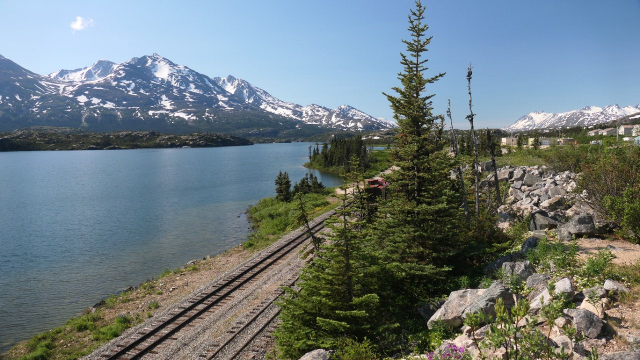
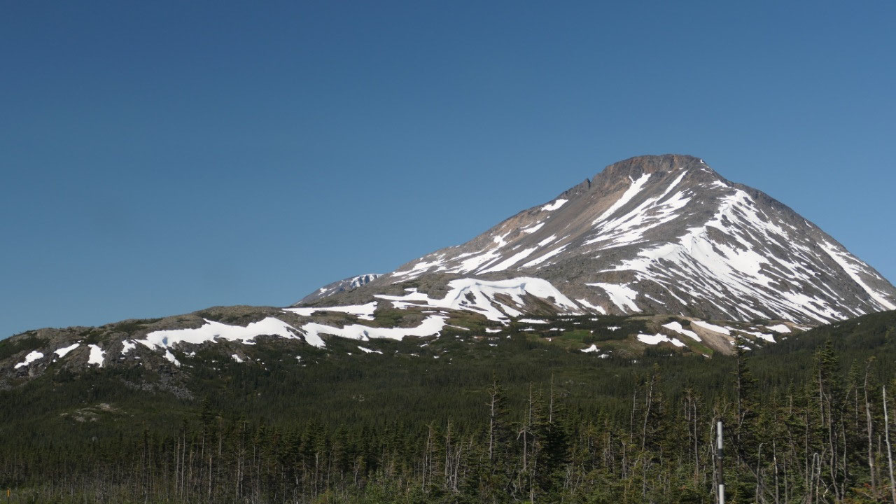
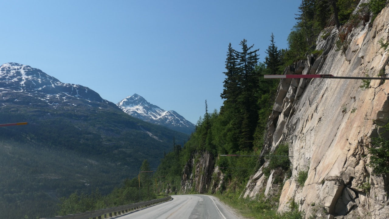
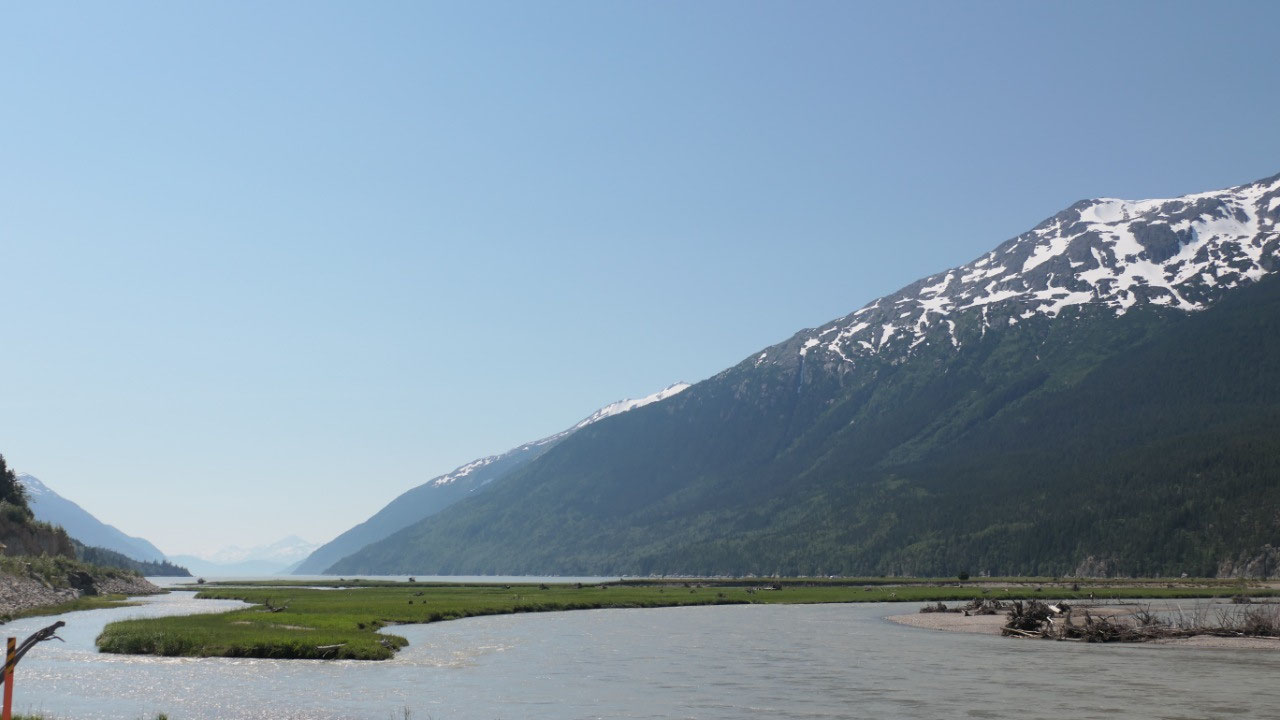
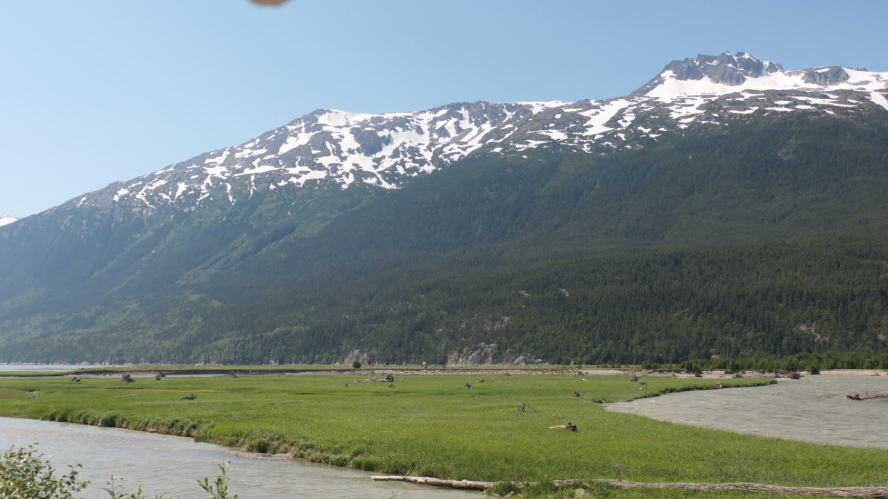
Fraser / BC
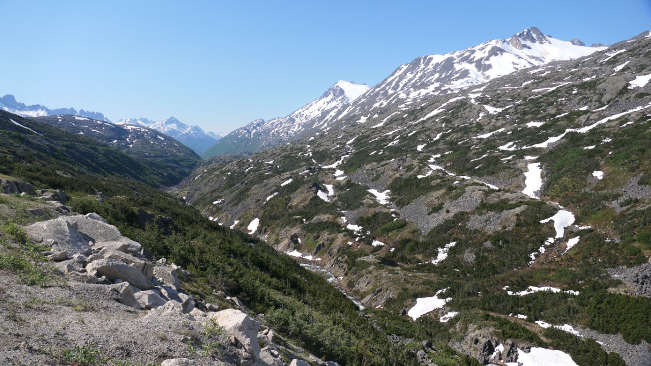
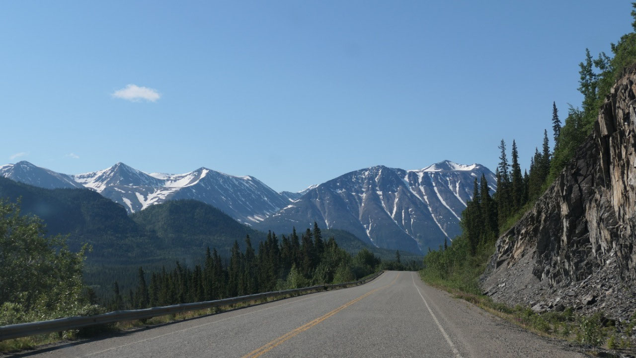
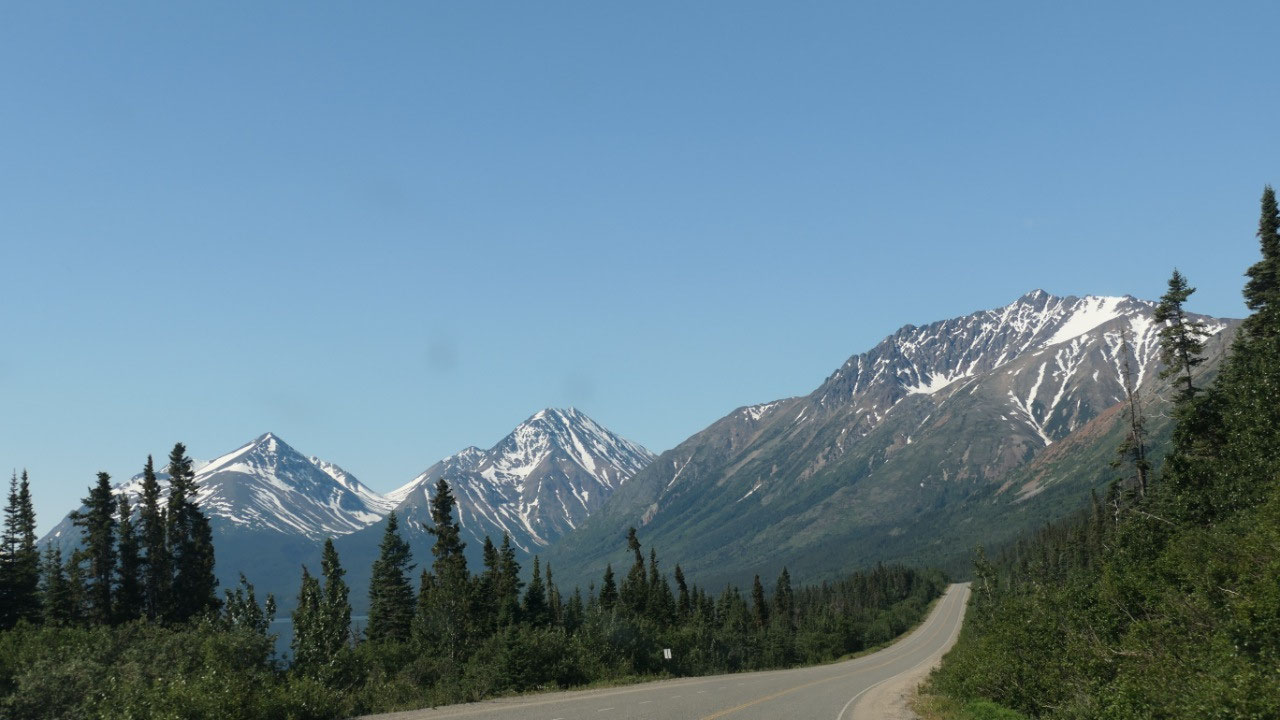
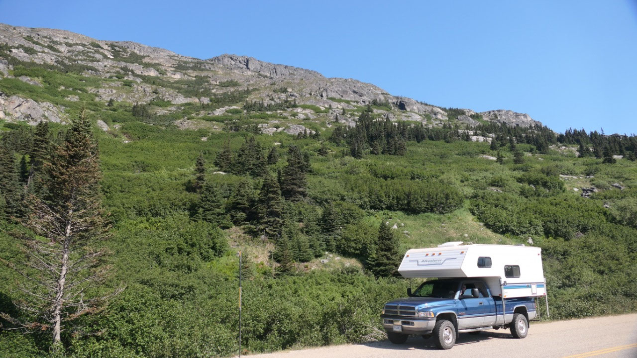
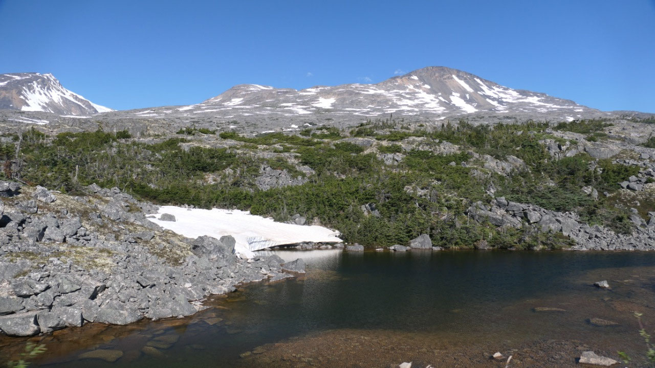
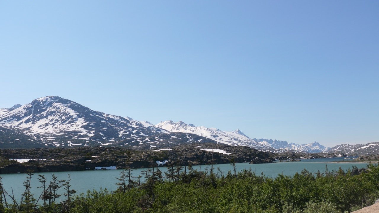
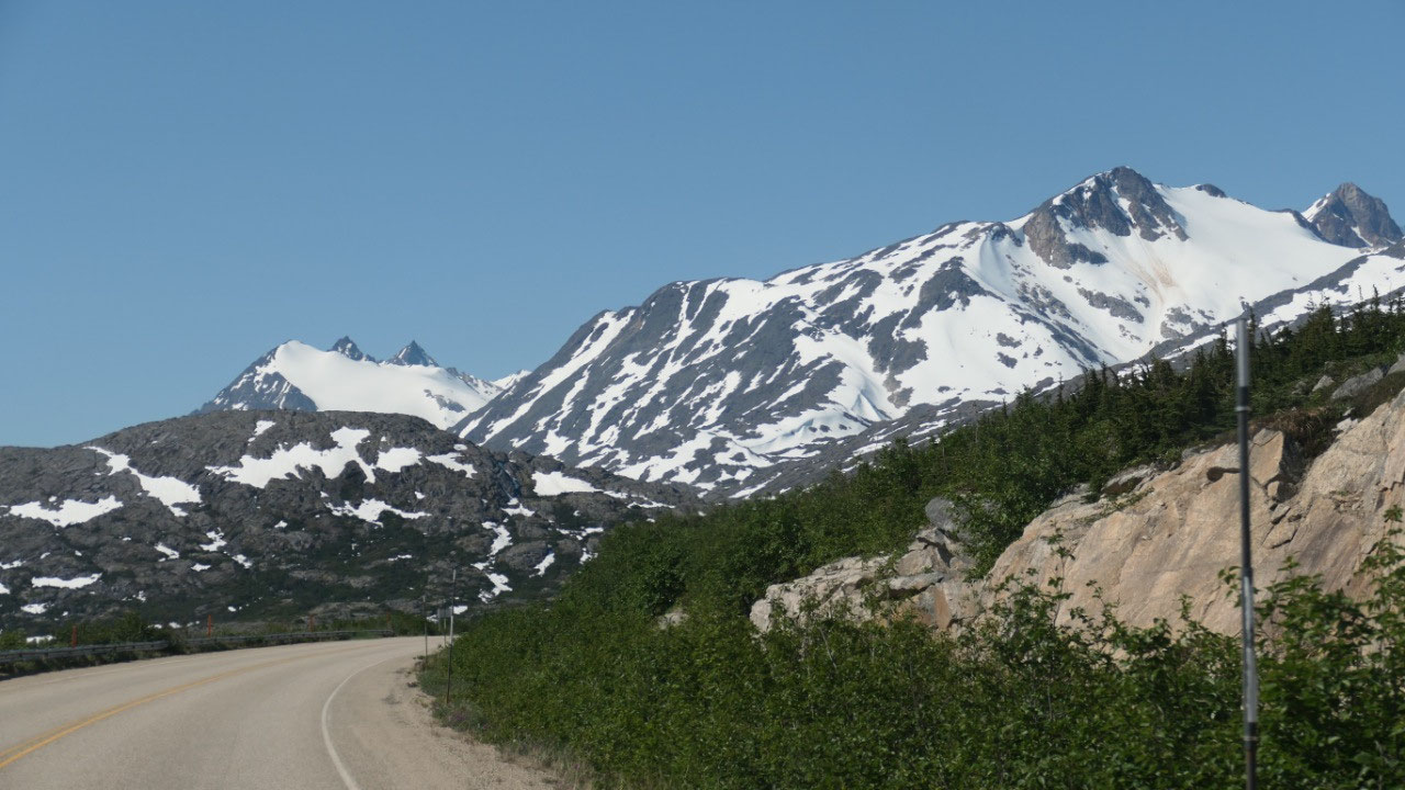
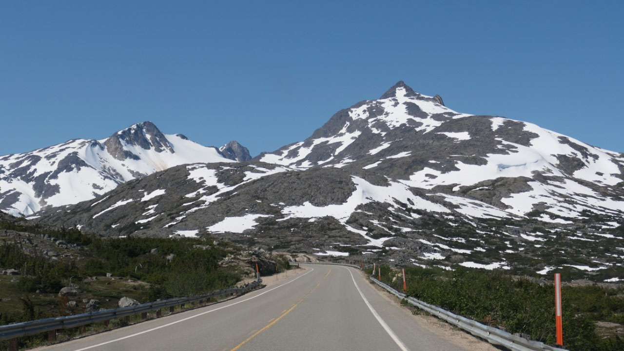
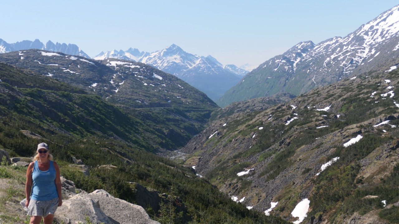
As we approach Fraser / BC the area is
super amazing – lots of lakes with huge stones surrounded by the stunning
mountains. It is one of the most amazing landscapes – Gine could stop all the
time or wander along the highway because it is so amazing. Here is also the
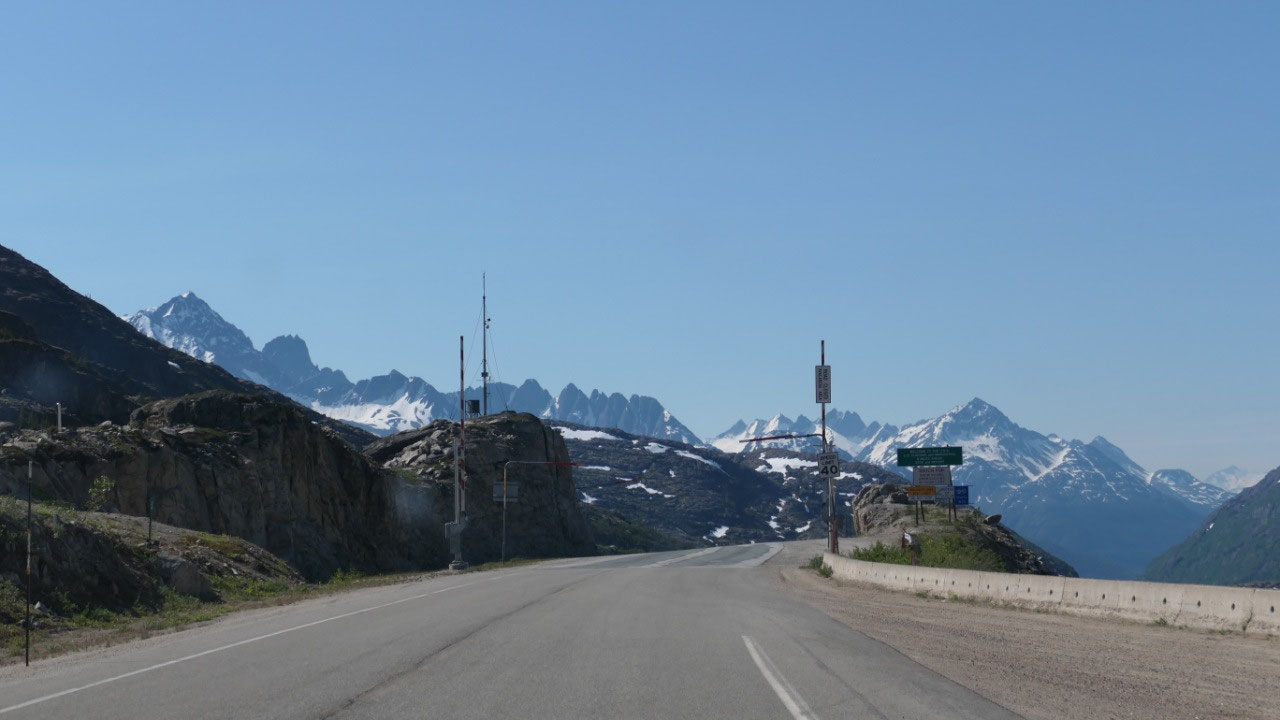
Canadian Border – where we only drive through
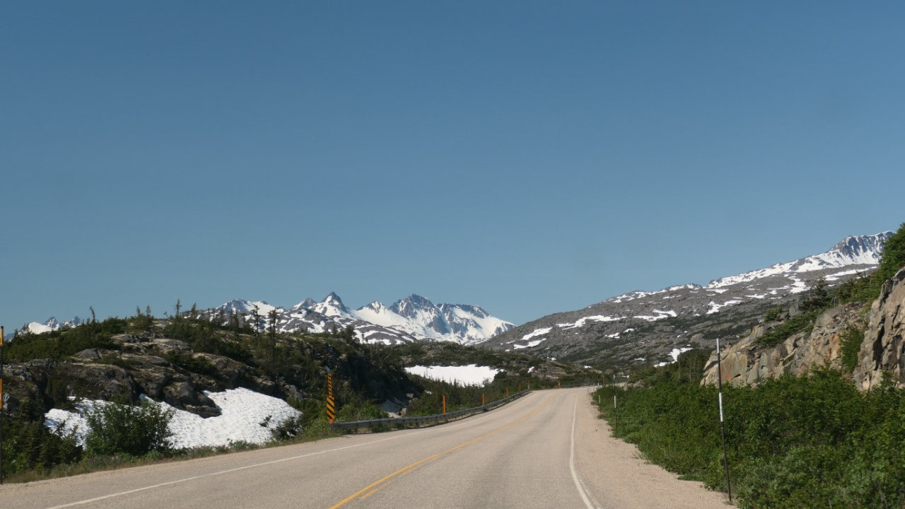
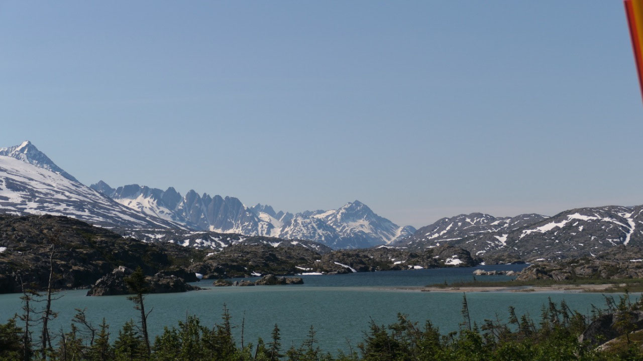
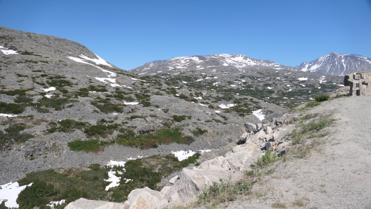
- The info sign calls it an eerie subalpine landscape of lakes and stunted trees – as it is between the transition of vegetation and the true alpine it is often called “moonscape”
- The tiny firs we can see survived decades of fierce winter storms: as the bottom is buried under the snow and the top is exposed to the icy wind they are known as mopheads
- There is nearly no soil on the rocks here – they have here every year around 24 ft of snow: the snowplows are guided by the orange and black tips of the poles
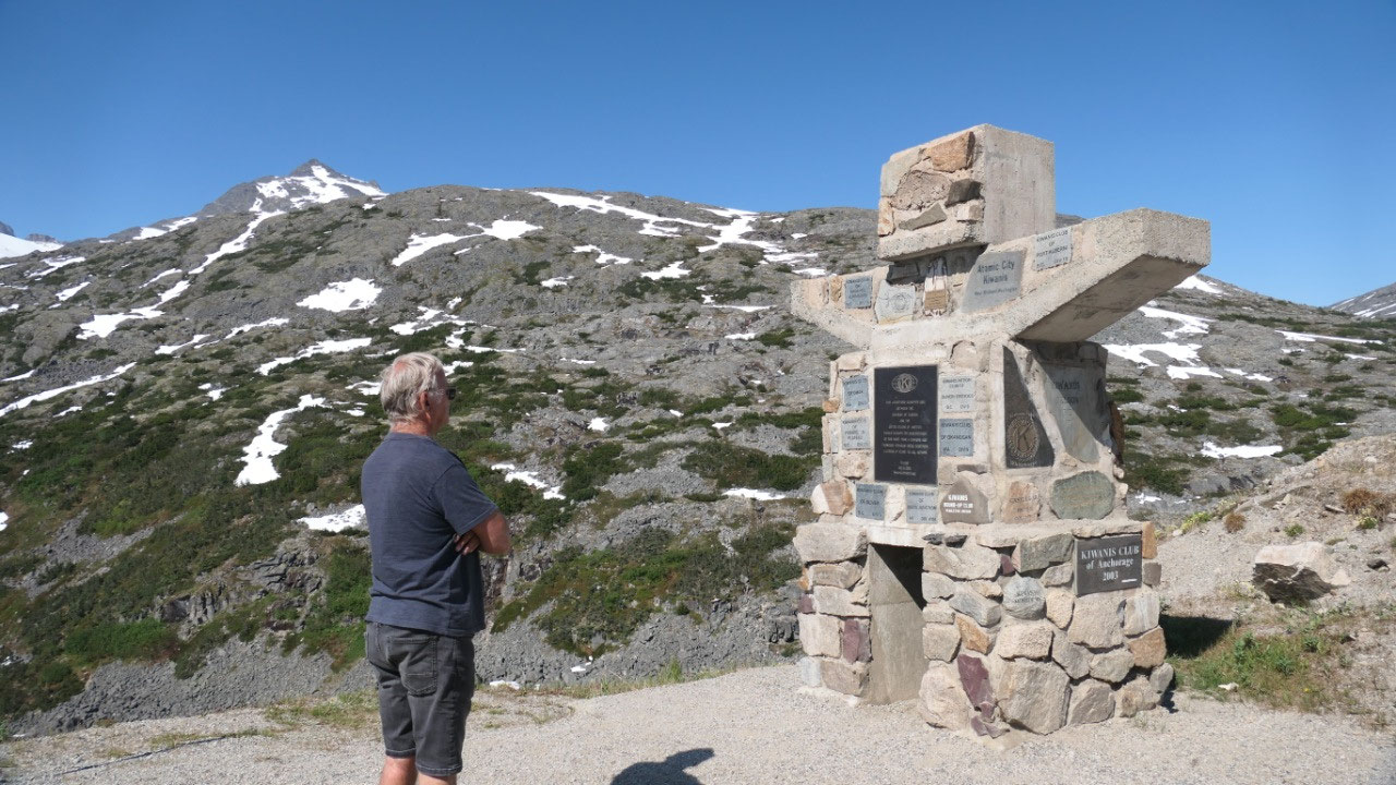
- Once here was a station of the White Pass and Yukon route Railway (by the way they built this section of the railway in an extremely snowy winter – after blasting they had to haul it all out by horse drawn wagons
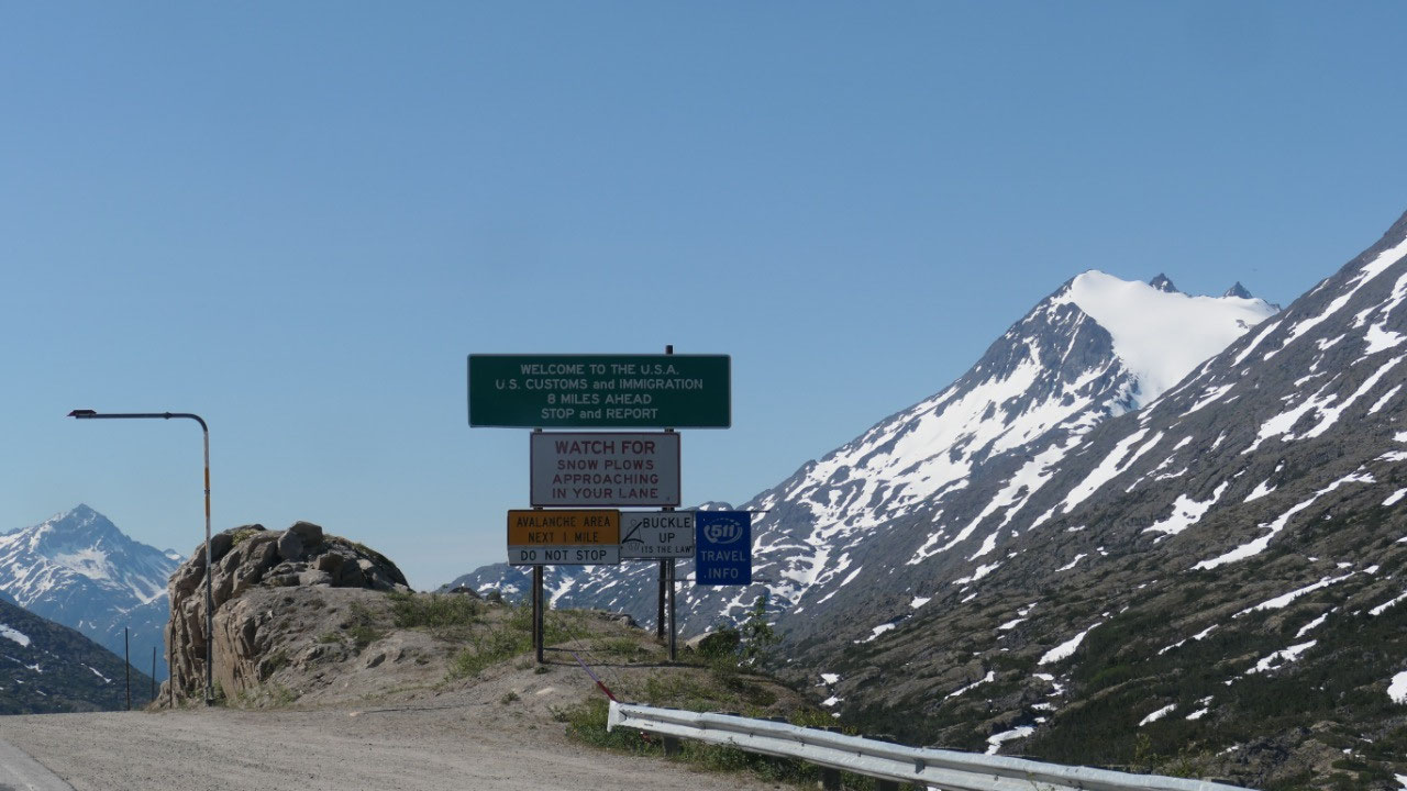
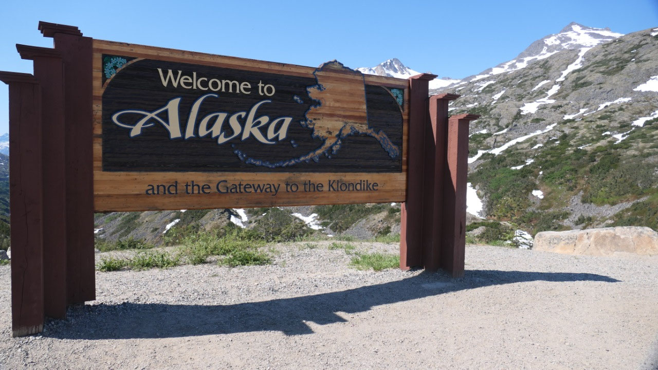
Welcome to Alaska
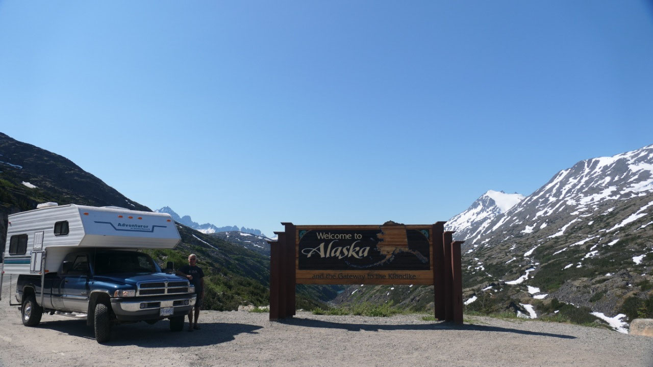
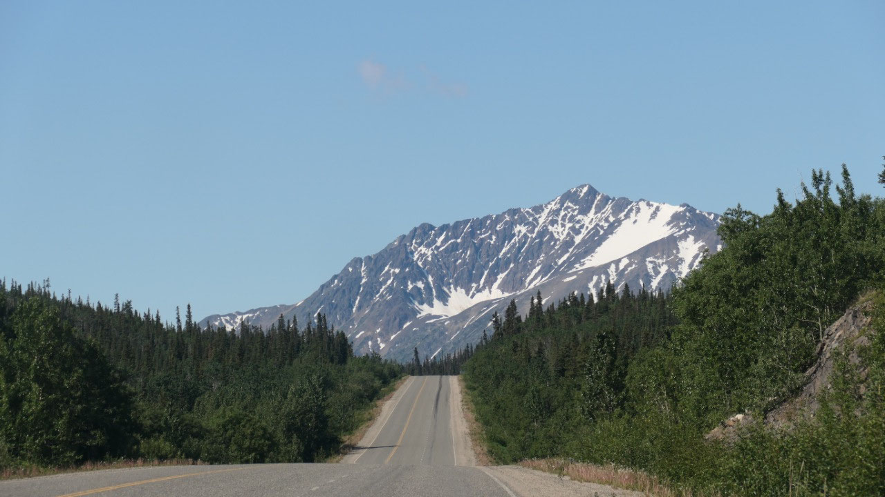
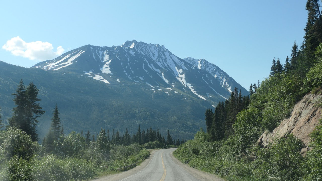
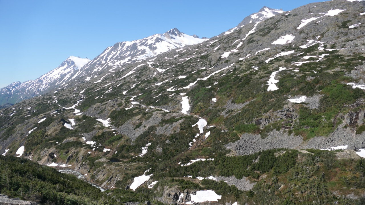
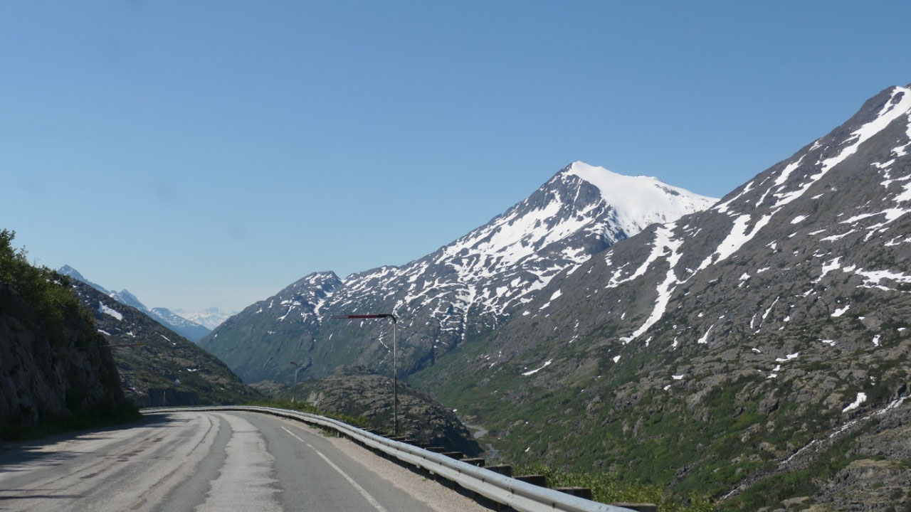
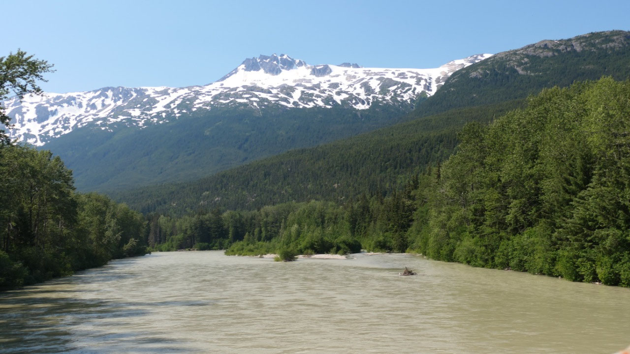
From there we continued through the
alpine area and the snowpacked peaks – it was super amazing. We are now up at
the Klondike Summit. And then comes a pull out and we read “Welcome to Alaska”
– by the way there was a surveillance camera, yes we are on US soil, but the
border control will be in another 8 miles. The view from here on the Valley was
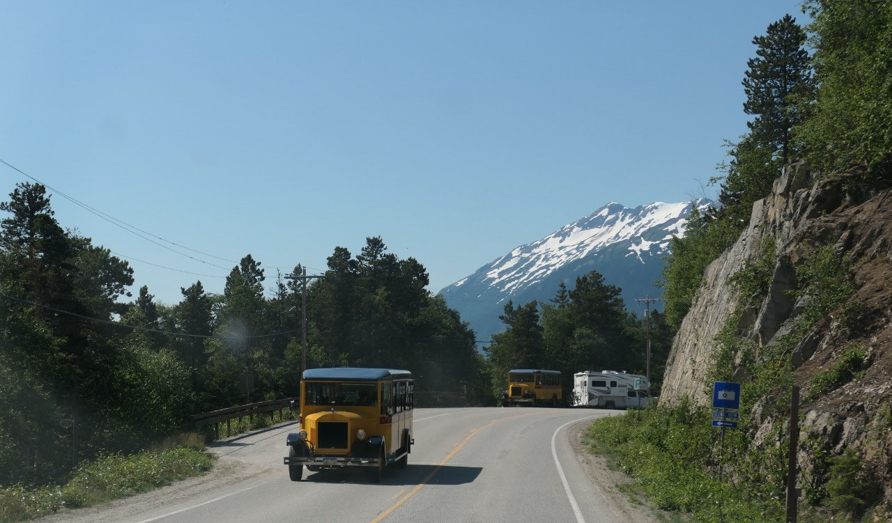
super amazing. As we enjoy the views a Holland America bus stops and all the
cruise people come out to take a picture too.
We are now at 1003 m the highest point
on the highway the White Pass Summit – this is one of the routes the gold
seekers took.
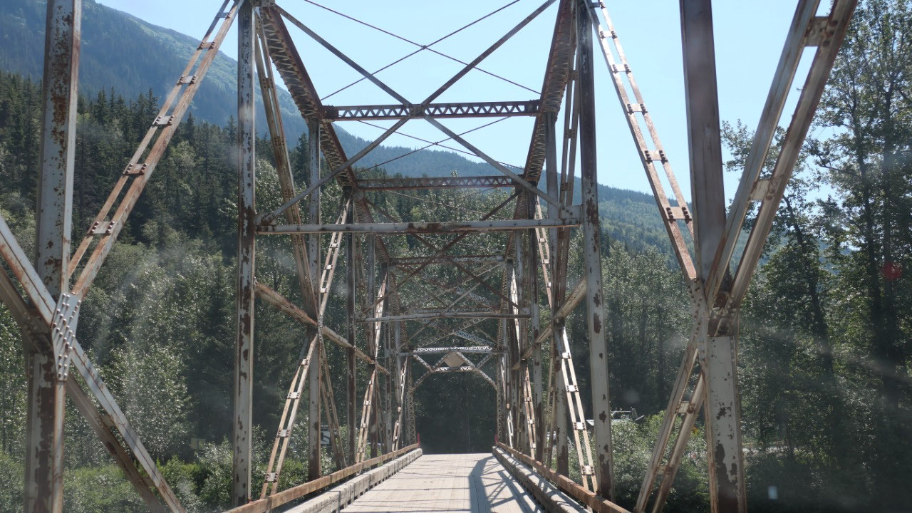
The bridge and the waterfall
As we see a cool suspension bridge
Gine says: Paul we have to stop – today the bridge is not used anymore, it is
only there to look at and relive the past:
- The Captain William Moore Bridge spans a 110 ft wide gorge over the creek which is 180ft below. William Moore was a riverboat captain, pilot, prospector, packer and trader and played an important role in settling the town of Skagway – he helped to pioneer the route over the White pass
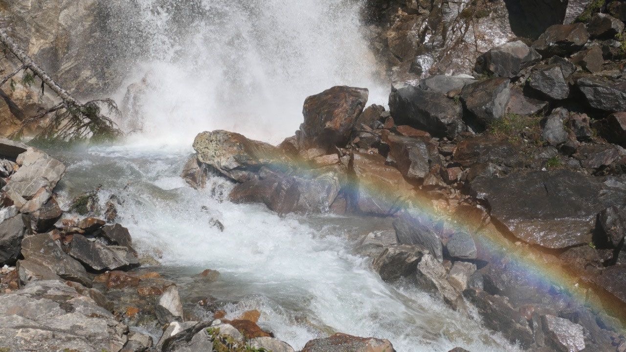
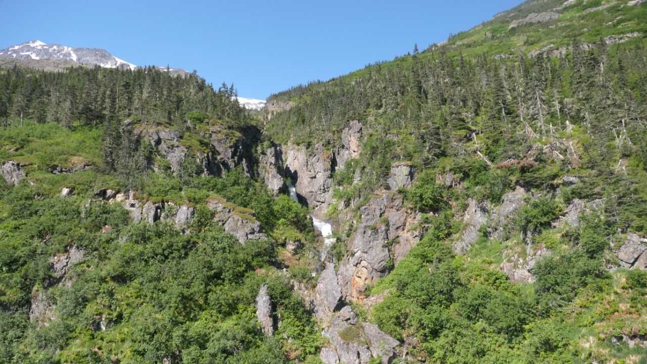
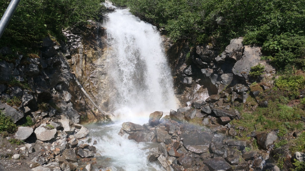
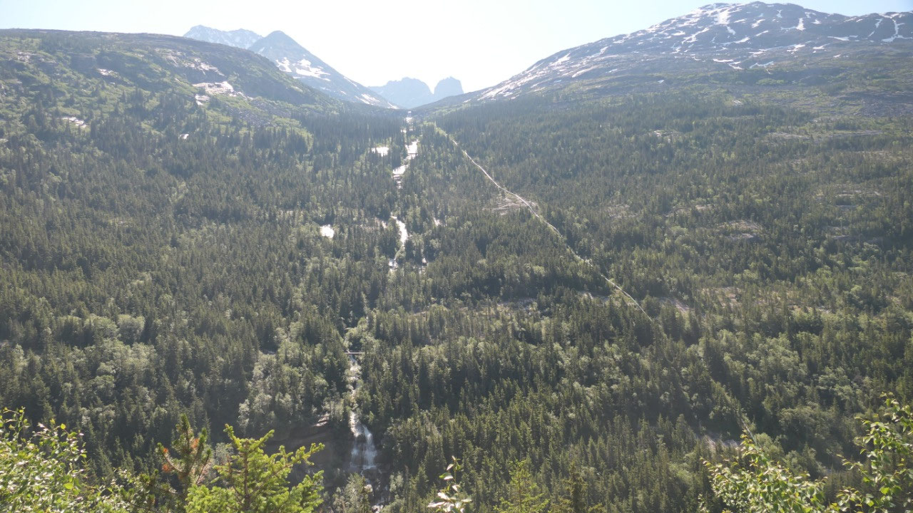
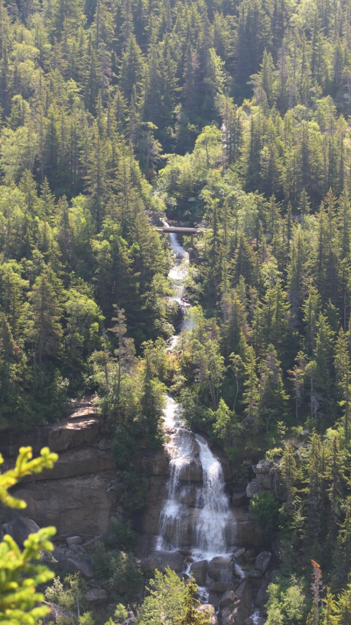
Soon after we stop at the Bridal Veil
waterfalls – yes we saw a lot of waterfalls so far on our trip, this one is
another super cool one. Soon after we pull over and can look over to the
Pitichfork falls as well we could the hydroelectric pipes from 1996 which go
down the hill like a snake.
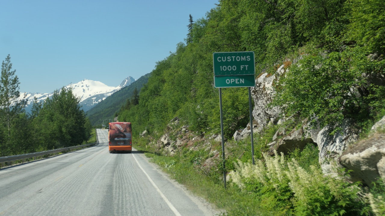
At the US Custom
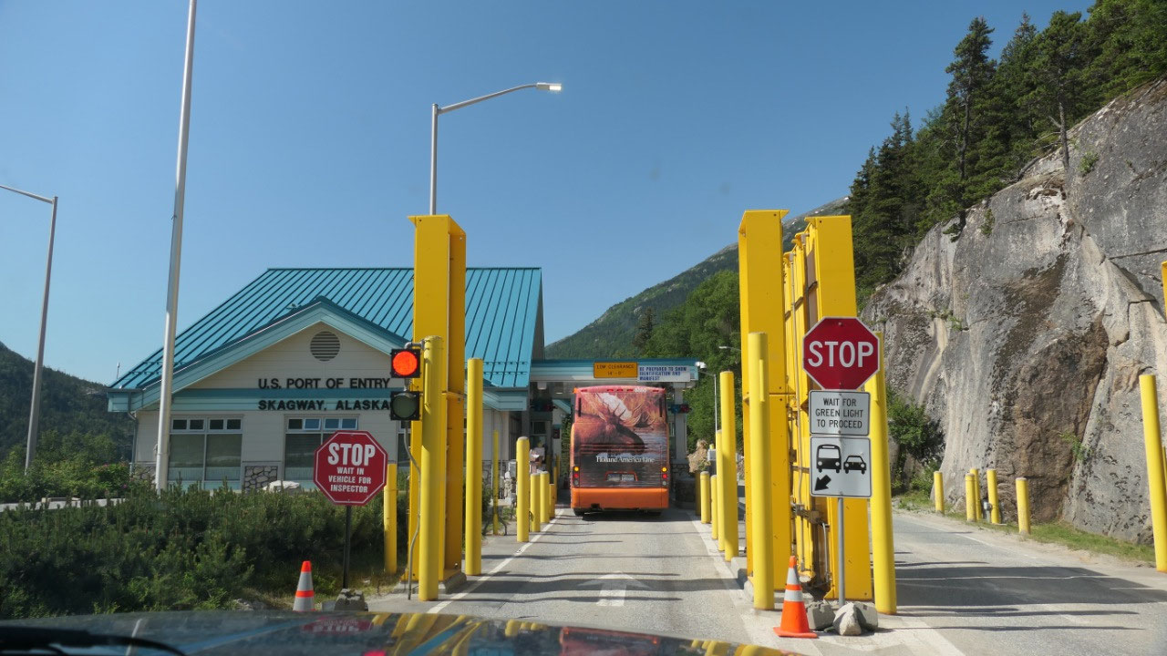
Ok we give the passports, he asks if
we have food, we said some sausage and he asks if we have fruit, I say two
apples and he says you didn’t say that before. After some more looking he kept
Gine’s passport and said please pull over and come. And there it is: the German
passport – inside it took forever until we finally got fingerprints and eyescan
and pay our 6 $ - yes it is never cheap to go to the US.
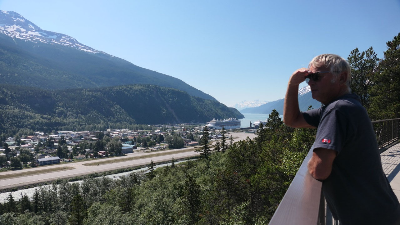
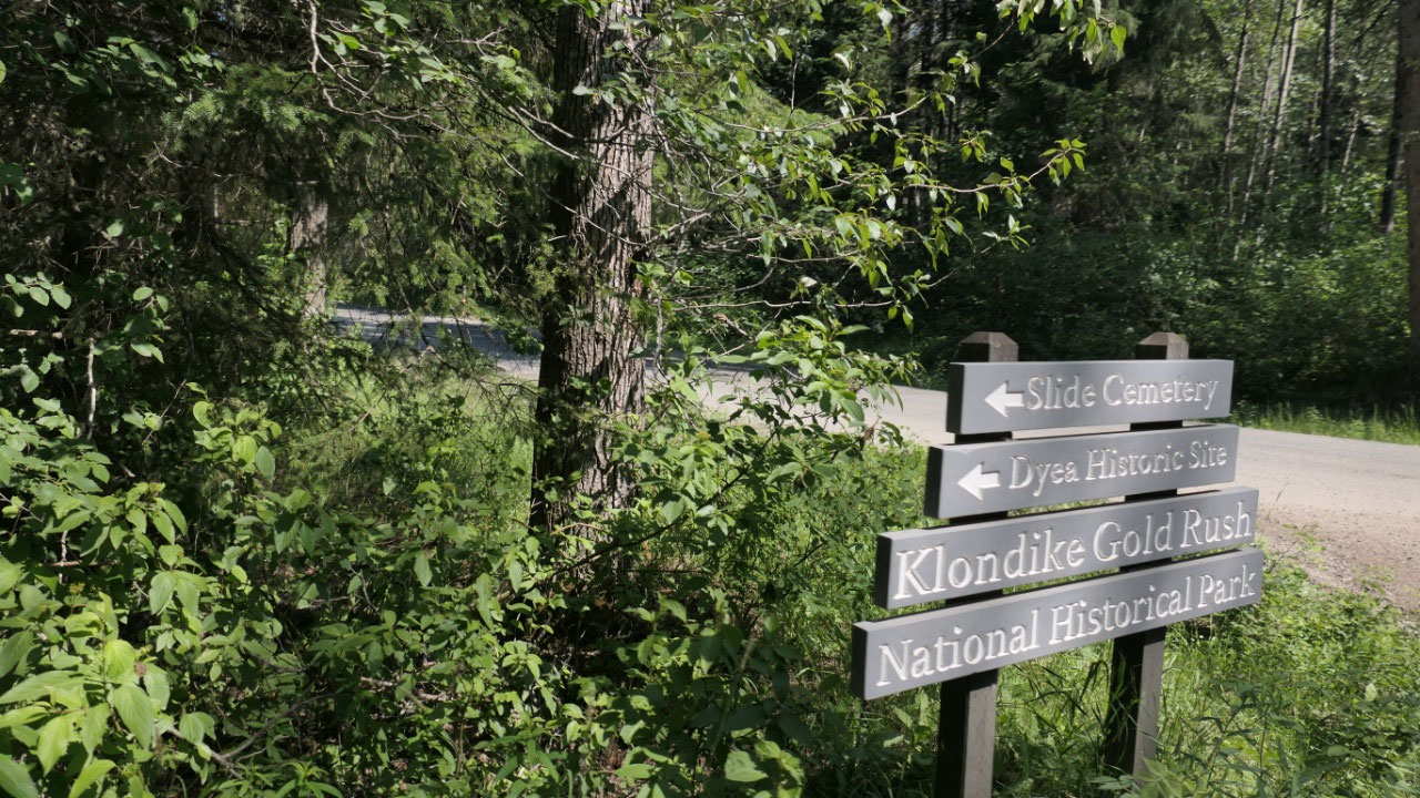
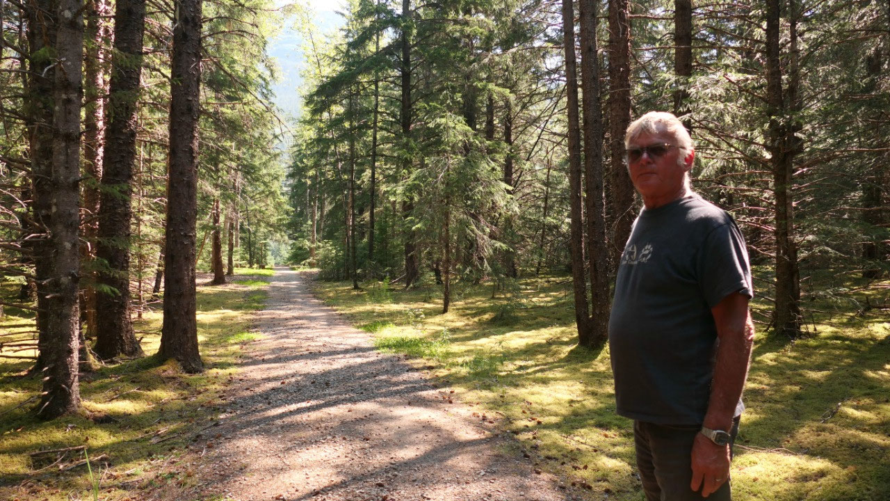
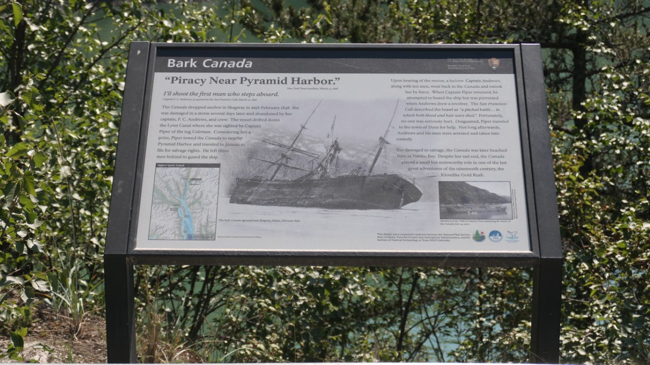
The leftovers of Dyea
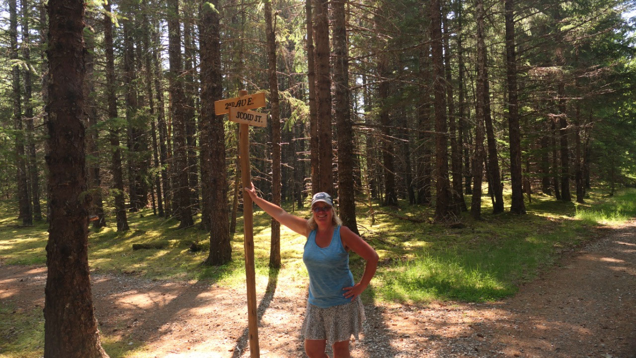
Gine said before heading into Skagway
we will stop in Dyea so we don’t have to move the truck tomorrow at all – we
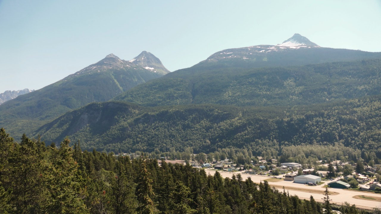
turn off and soon comes a viewpoint to overlook Skagway: it’s kind of cute as
there is a green sign with an arrow and saying Parking: once you are there you
are in front of red no parking signs – no it’s not confusing at all. This is a
typical tourist view point: nice balcony and the perfect view on the town and
the cruise ships.
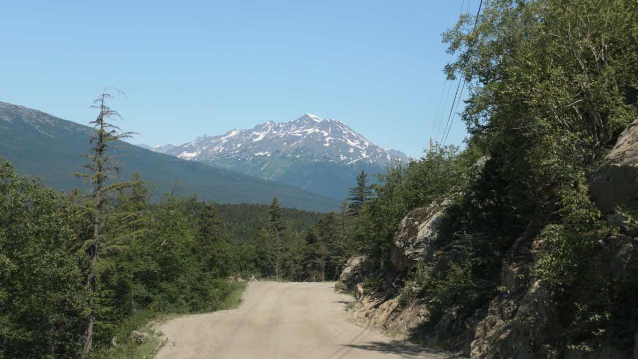
We then head on and the road becomes
gravel and narrow and goes along the inlets – it is beautiful with the views –
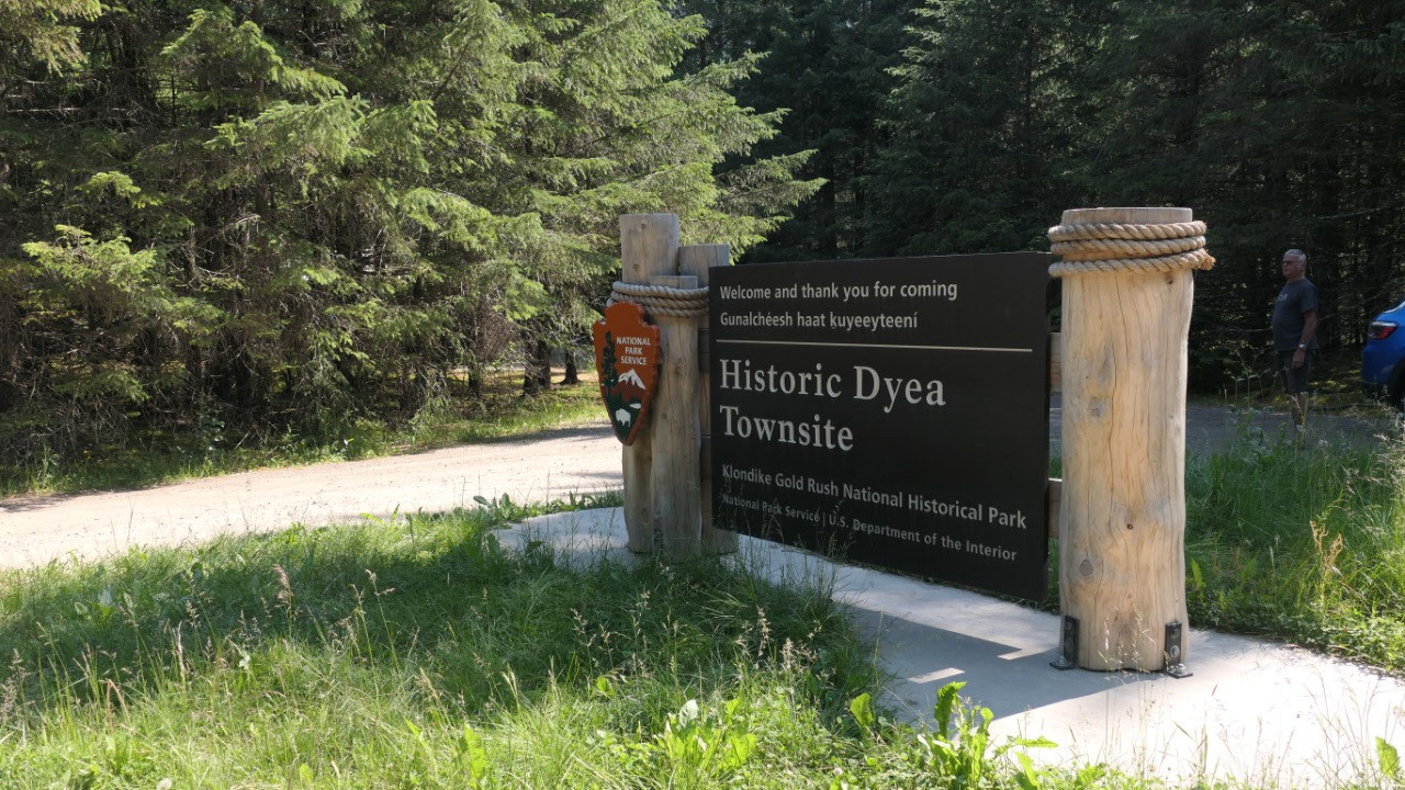
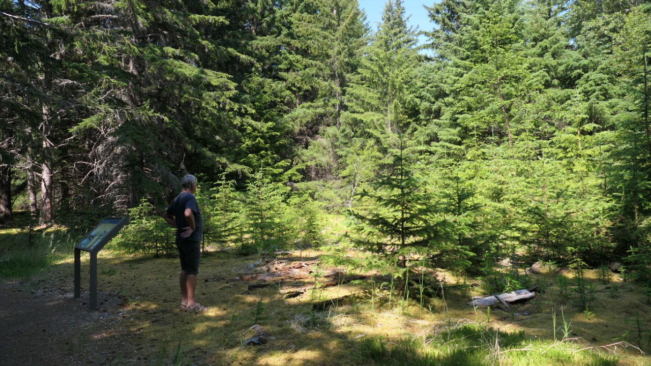
then comes the campground and soon after the sign for the Dyea Historic site,
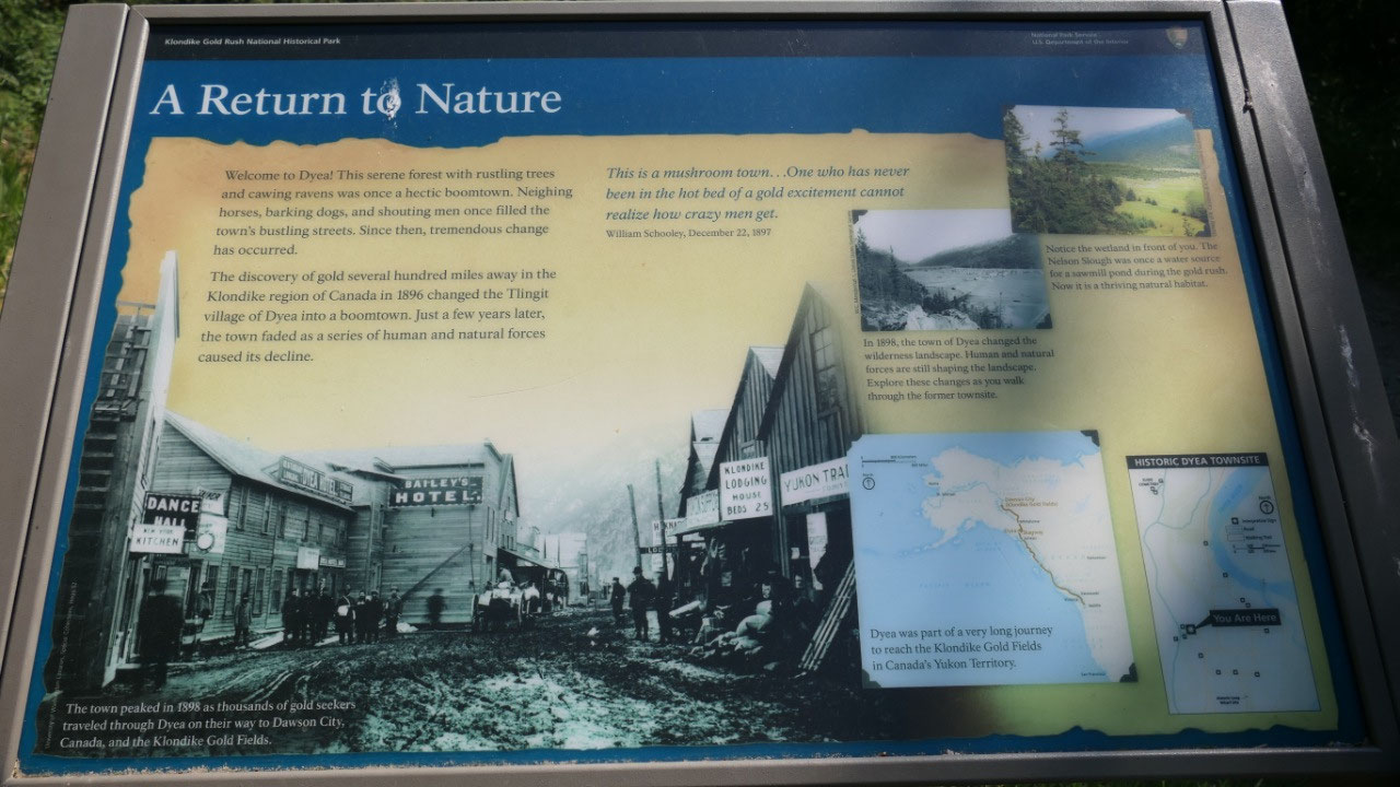
we park and then walk in the forest: ok so the history of the area is cool –
the reality not really mind blowing: they made some paths to walk in the forest
where in the old days were the streets and even put up street names so you know
where you walk: but it is a walk in a forest with lots of moss (at least there
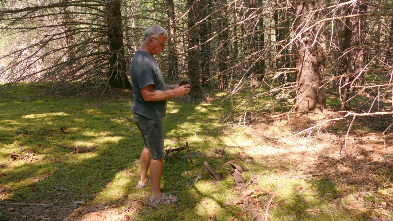
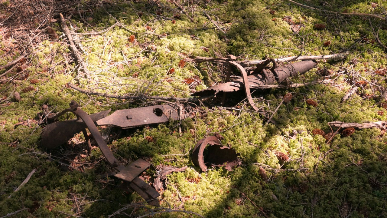
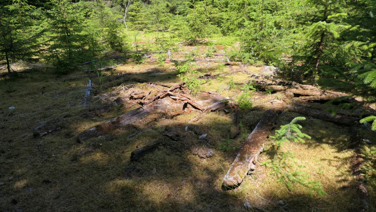
are no mosquitos). We then walk down one Avenue as the map said there is some
building left: ok we saw a few metal pieces and a few pieces of log on the
ground. The truly interesting part I think is that 120 years ago here was a
town – today nature claimed everything back and you can’t even see any evidence
of it or that it was as big as Skagway
What’s the story about Dyea
- Dayei means “to pack”
- In 1879 the US Navy Commander Beardsley reached an agreement with the Chilkat Tlingits that miners can use the pass and in 1880 they built one trading post: it is the official start to the Chilkoot Trail
- In Sept 1897 was still that one trading post, when in the same year the winter storms hit and the Yukon river started to freeze, people started to spend time here and it became a town – during that winter the downtown became a 5 by 8 block area with businesses, a fire department, a school, two newspapers – the telephone company run a line up the Chilkoot Trail to Bennet , it had two wharfs and warehouses, mills and churches
- It didn’t last long in April 1898 a massive landslide the “Palm Sunday Avalanche” happed and killer over 70 people, travellers then stayed away from Dyea
- When the White Pass Railroad started in 1898, the town faded even more, in June 1899 the US camp burned in a fire
- Fromm once 10.000 residents, by May 1900 still around 250 people lived here, in spring 1901 only 71 the post office closed in 1902 and by 1903 only six people still lived in town
- The farmers took over the valley and used the wood of the houses, some were dismantled and the wood sold, a fire in 921 destroyed even more buildings, even in1947 the road was built to Dyea, the floods hit in the 1940s and 1950s and destroyed the rest
- In 1978 the National Park Service bought most of the old townsite and today it is part of the NHS and part of the Klondike Gold Rush NHP
The snowy Chilkoot Trail:
- The Chilkat used this pass to trade with the interior first nations and it was their main trade route, it was a seasonal fishing camp
- This was the shortest route to the Klondike but definitely not the easiest: you either went over the White Pass or the Chilkoot Trail
- The Chilkoot was steep, icy and snowy, you couldn’t use animals to carry it up so it required several trips up and down the frozen slope which included 1500 steps carved of snow and ice nearly straight up and it was called the golden staircase – it was the most difficult part (300 m up) most stayed at Sheep camp from there it was 3 km up Long hill to scales and then the golden stairs. Most did the trip 40 times to get all their equipment up with 50 pounds on each trip: some of the stampeders walked 2600 miles to carry their supplies the 33 miles from Dyea to Lake Bennett
- From the tent city almost 30000 taggled the steep Chilkoot Trail to Lake Bennet where they built crude rafts to float the to the goldfields – and as many as went up as many returned broke and disillusioned
- To enter Canada over the Chilkoot Trail the miners were required to carry a year’s supply of food including 400 lbs flour and 200 lbs bacon (and by the way you have to carry this on your 33 mile hike) - in average it took 3 months to complete the task
- The native Chilkats hired themselves out as packers -they could carry 100 lbs at the time (double was the stampeders could) and charged 14 cents per pound, then the price went up to 40 cents of the steepest part to 1 $ per pound at the the flat section called the scales the packers reweighed each bundle and increased the price again


2025-05-22