 Stewart, British Columbia, Canada
STEWARD
On the Cassier Highway
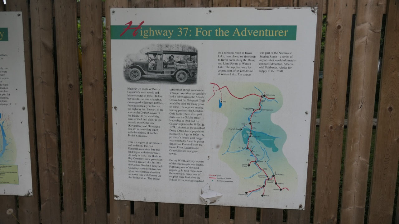
- The Cassiar Highway or Hwy 37 goes 724 km from Kitwanga in BC and will connect to the Alaska Hwy at km 1002
- They say it is one of BC’s most historic and scenic roads
- In 1883 HBC established a post in Dease Lake and in 1885 the Collins overland Telegraph started construction to built a link to Europe via the Bering Strait, which came to a stop when the Trans Atlantic Calbe got laid but the Telegraph Trail was still used
- During WWII following the gold rush route the supplies were ferried up the Stikine River then overland to Dease Lake and then via river to Watson Lake. They had a series of airports the Northwest Staging route which connected Edmonton with Fairbanks
- Around 1950s Asbestos was discovered in the Cassiar region and Cassiar was founded and trucked northward and via White pass shipped to Vancouver
- Road construction south of Cassiar started in 1953 – but the access to Steward only was made in 1972 and the highway got completed in 1976 and it was only in 1984 they paved it to Steward
- Today the Highway covers ½ the length of BC
- It got then named Steward – Cassiar highway for the two main economic connections
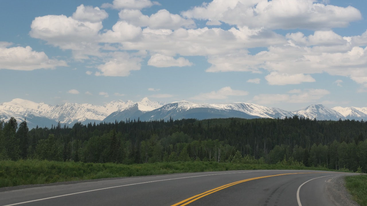
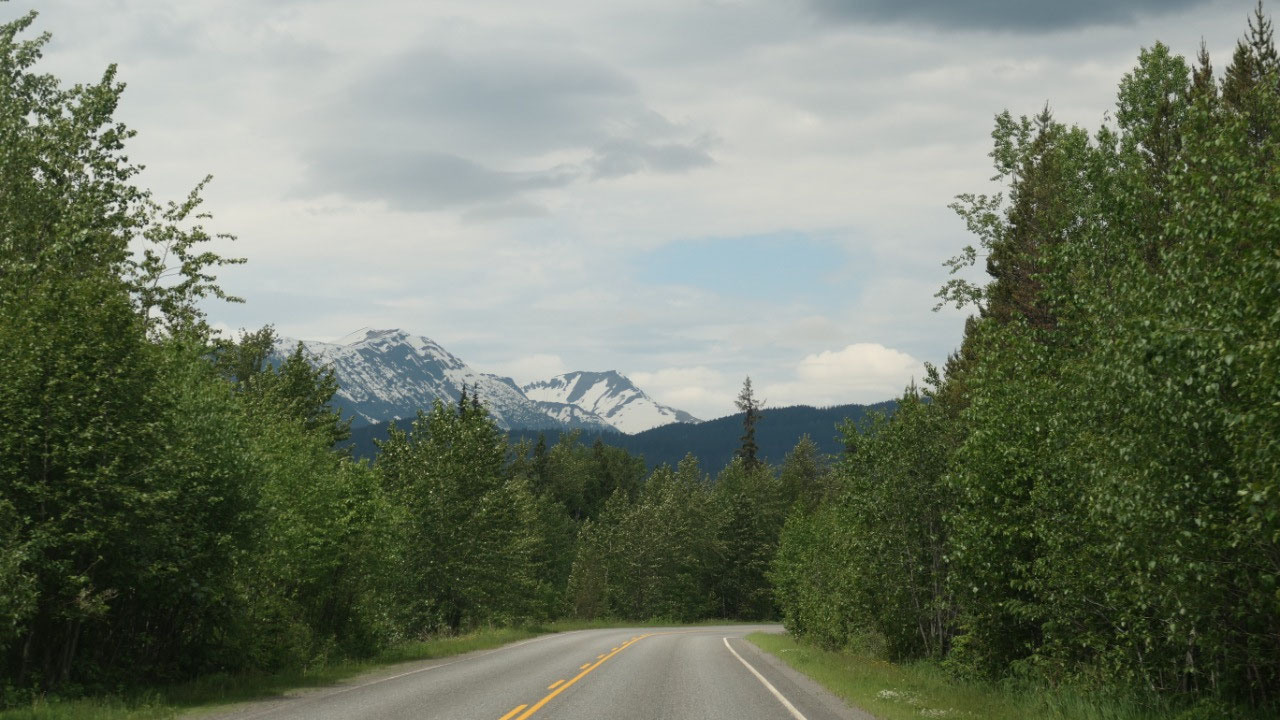
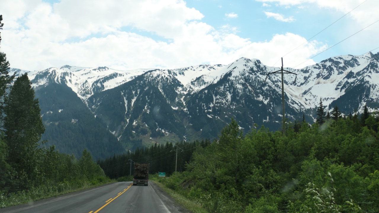
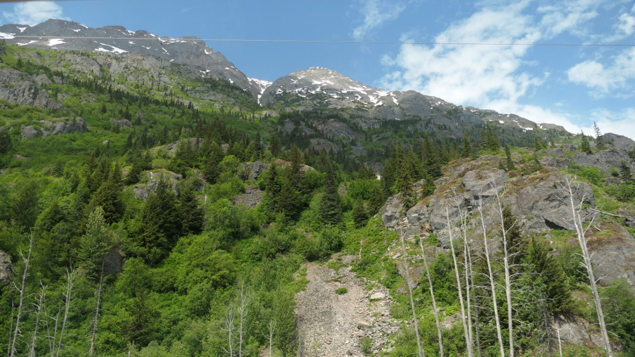
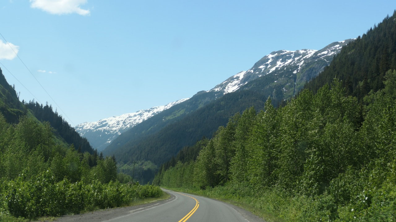
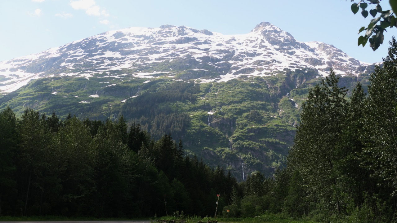
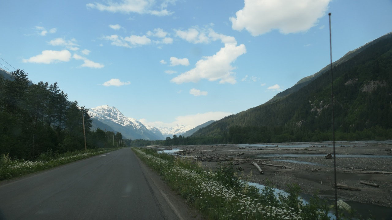
And now we are heading north on this
remote Highway. We have some amazing views on snow capped mountains and get
super excited.
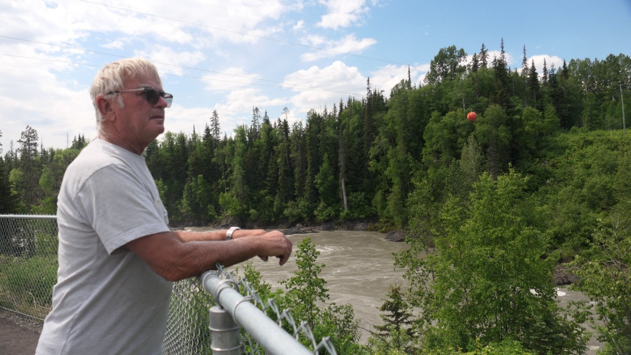
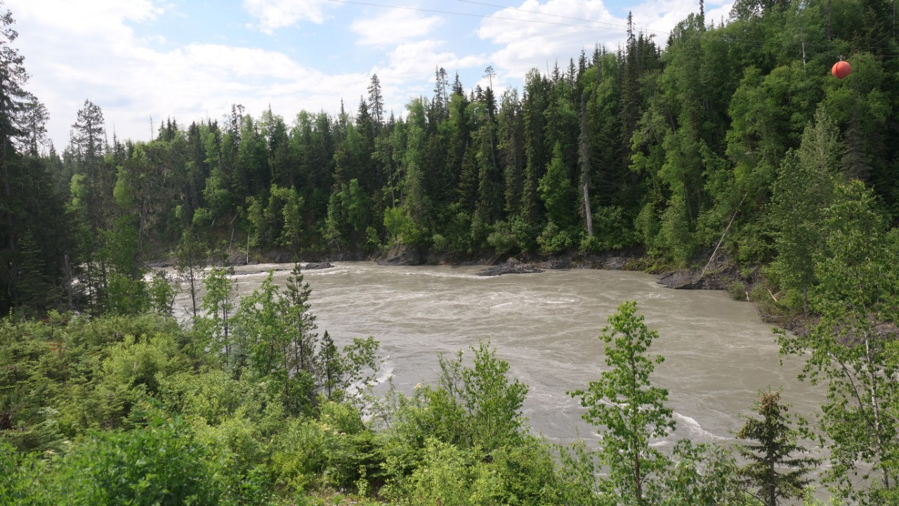
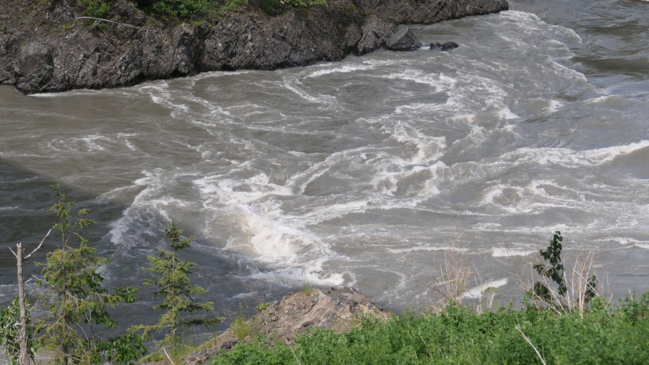
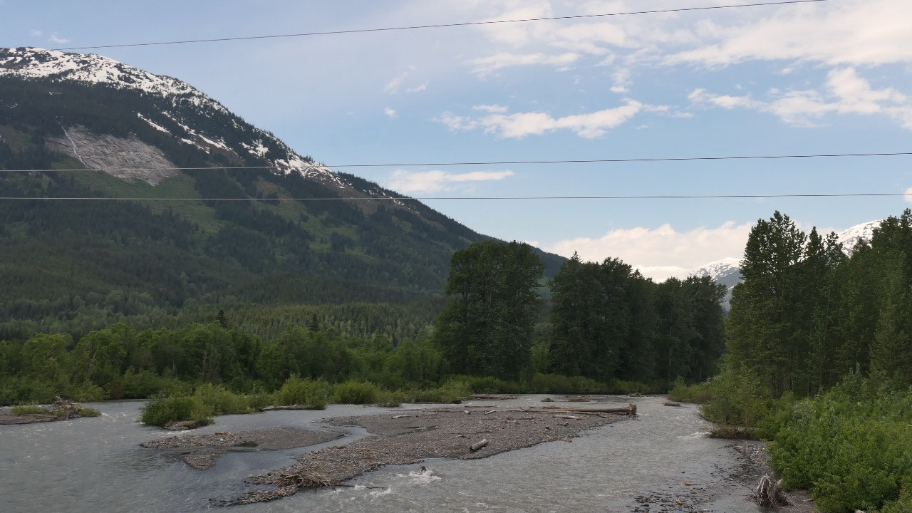
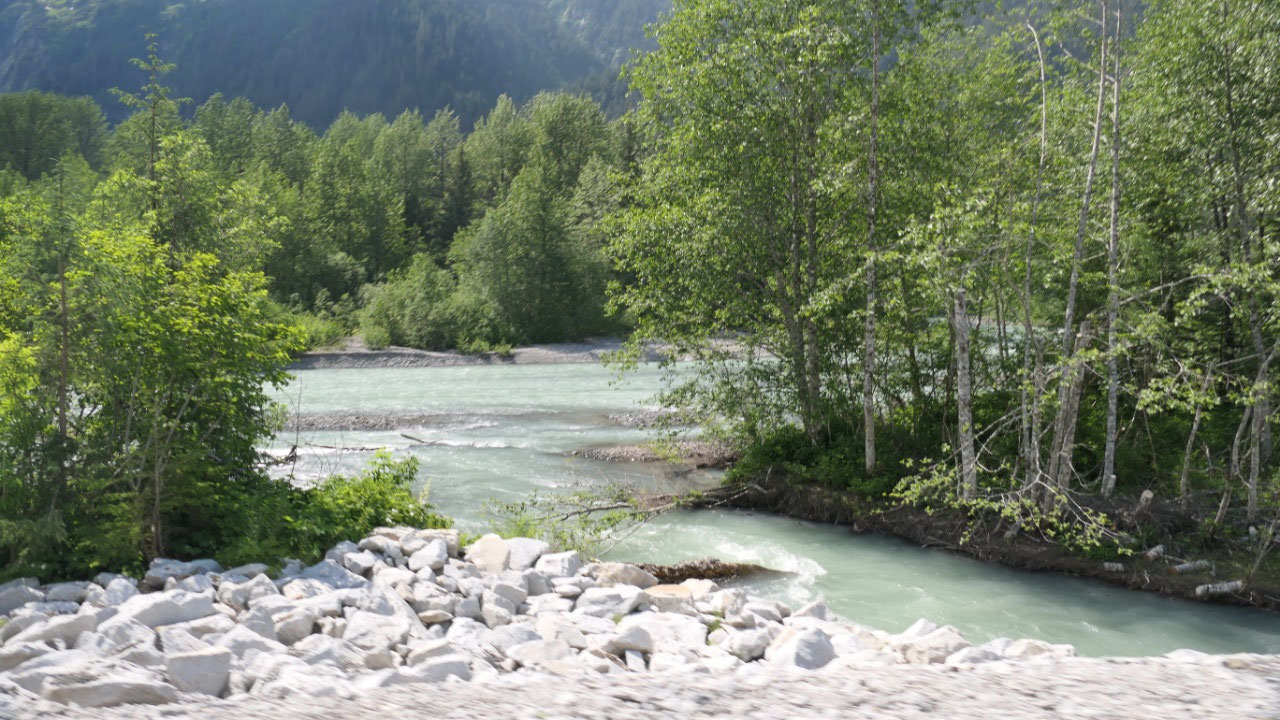
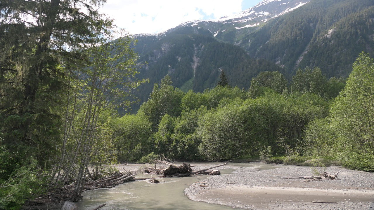
It’s warm at the Nass River Bridge
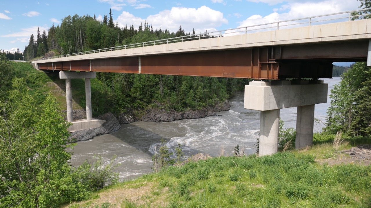
We did a quick stop along the Nass
River and checked out the 120m wide gorge and the river and discovered that it
is actually quiet warm outside here. Wow maybe we will have an amazing
afternoon at the lake.
- The Indians called the Nass River “Skam-A Koounst” meaning the safe place – it was there retreat from the Haida Indians
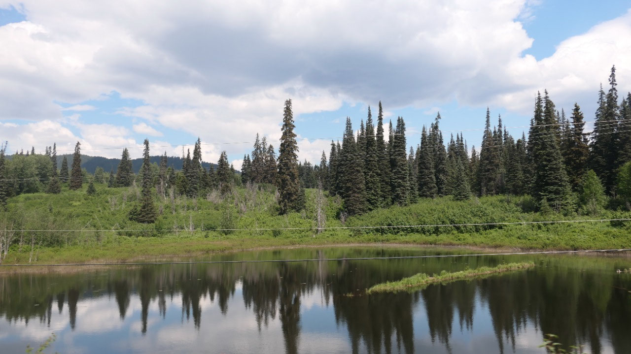
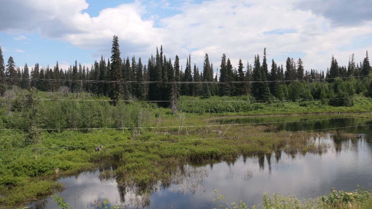
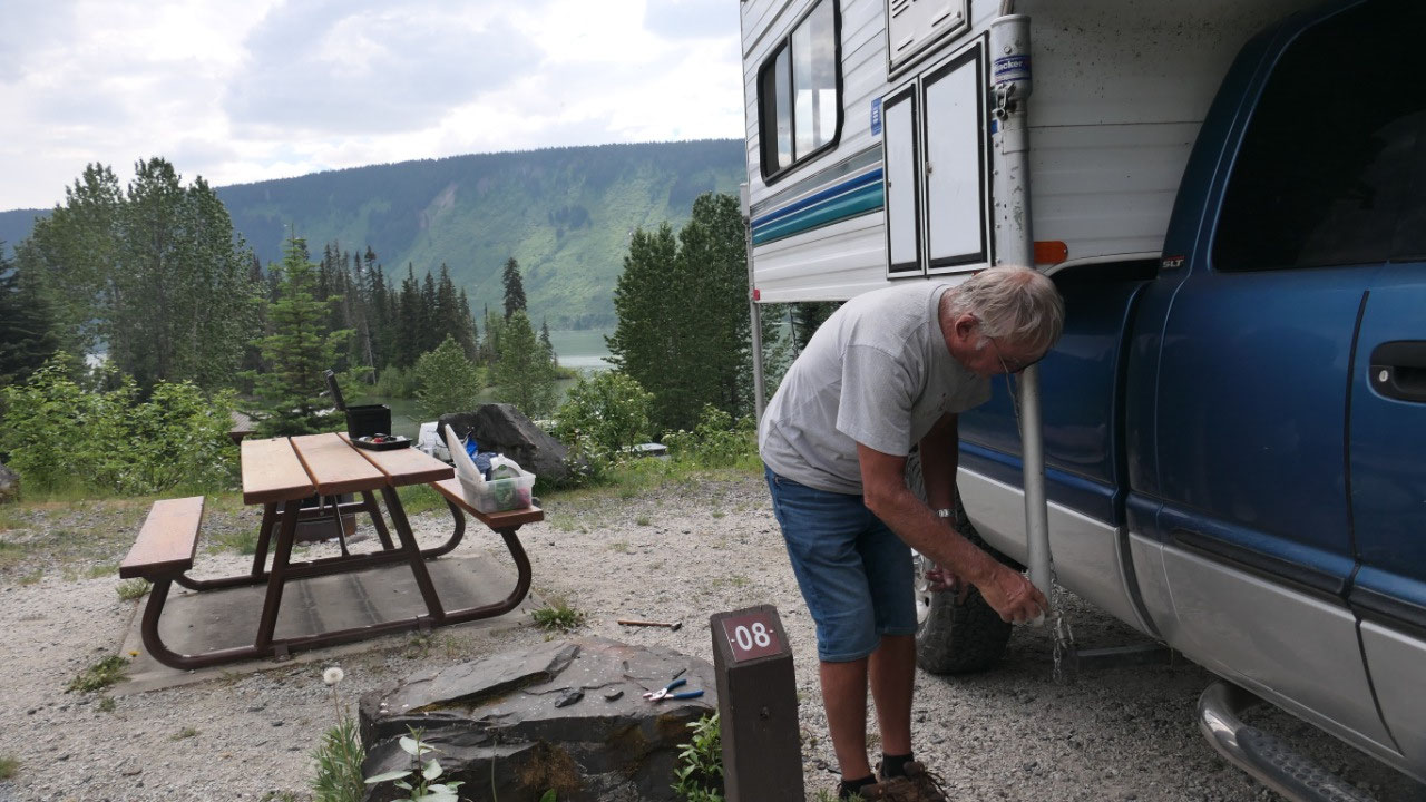
Lots of Mosquitos at Mezidian Lake
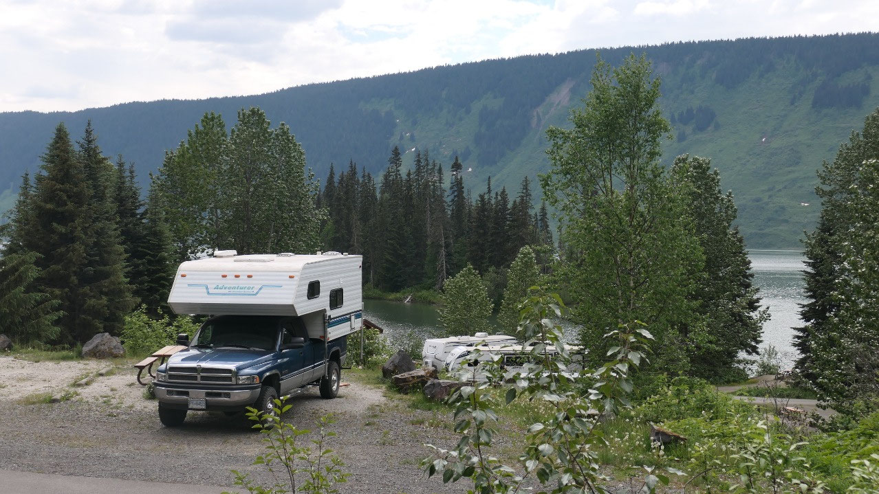
End of todays journey!! Everyone talks
about the beautiful Mezidian Lake, we drive down to the lake front and discover
2 things: nearly all sites are reserved and they are not very private either.
There literally was a site available but it is like being in a parking lot. I
think we circled the campsite at least 3 times and then finally settled on the
top with a view down on the lake. Time for a coffee. And then we discovered
something else: besides it being humid and hot there are lots and lots of
mosquitos, the lake is not as clean to go in and also there is no real day-use
area. We were both very disappointed as we thought it will be an amazing campsite.
And After coffee we decided the afternoon is too long to sit around here, when
there is maybe something way nicer around the corner.
- Weird names?? Mits’ii’aadin refers to a fishing technique of the Nisga’a where they put nets secured to rock bluffs
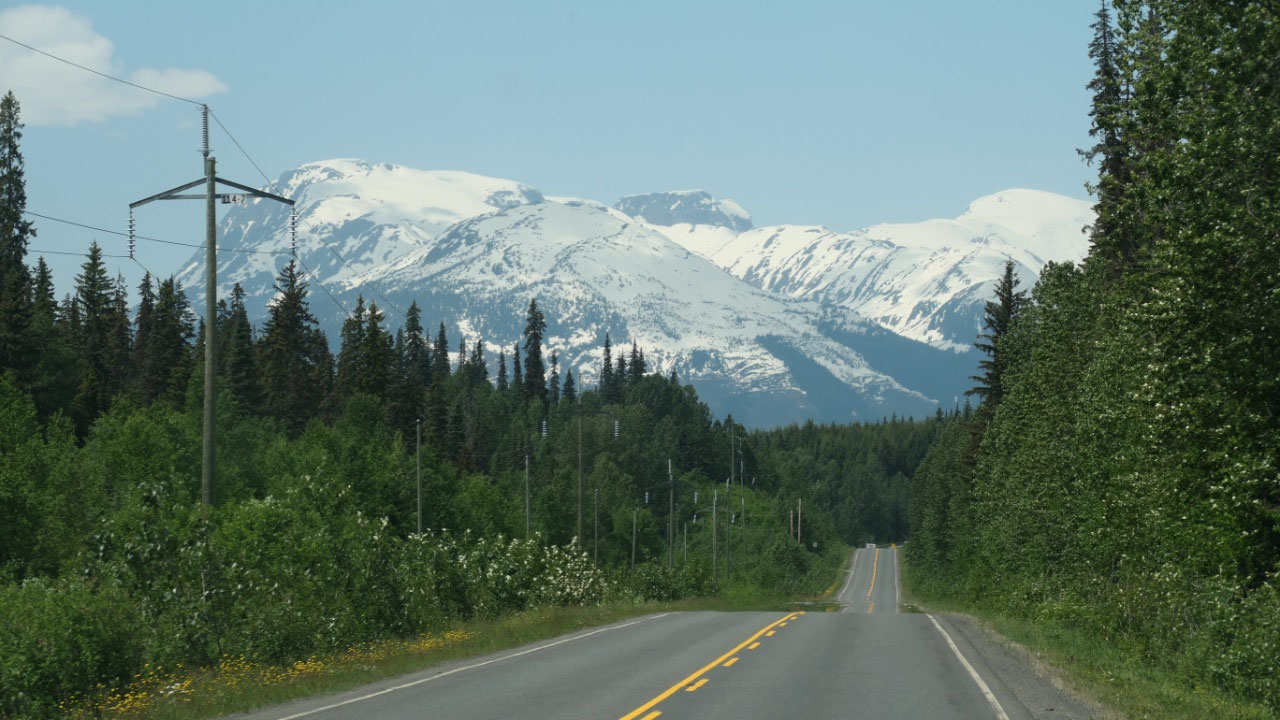
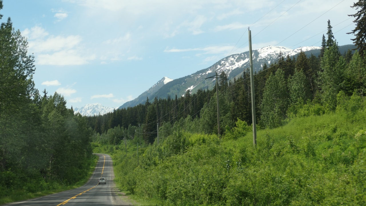
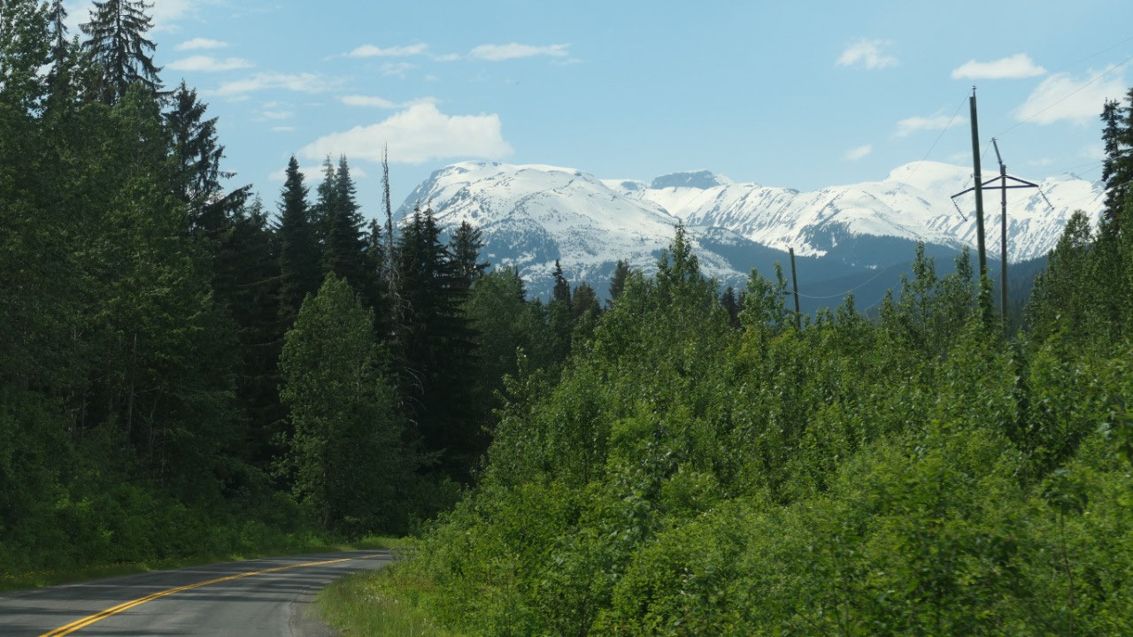
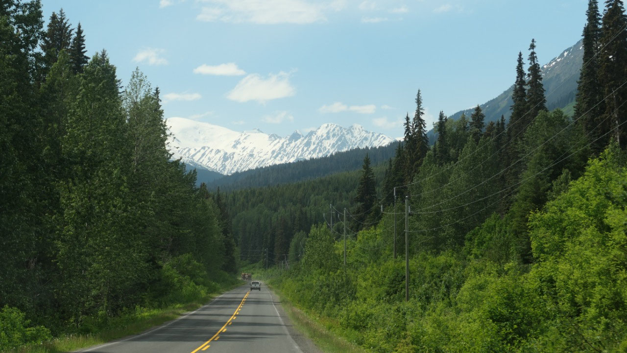
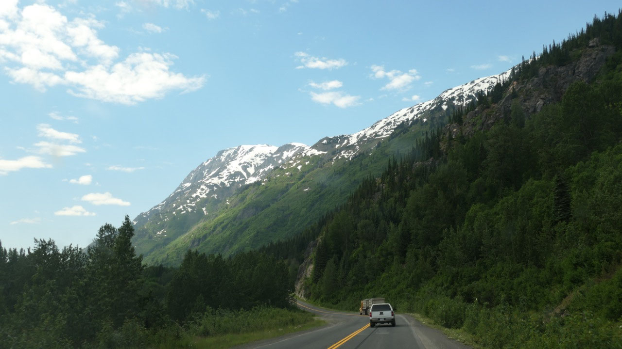
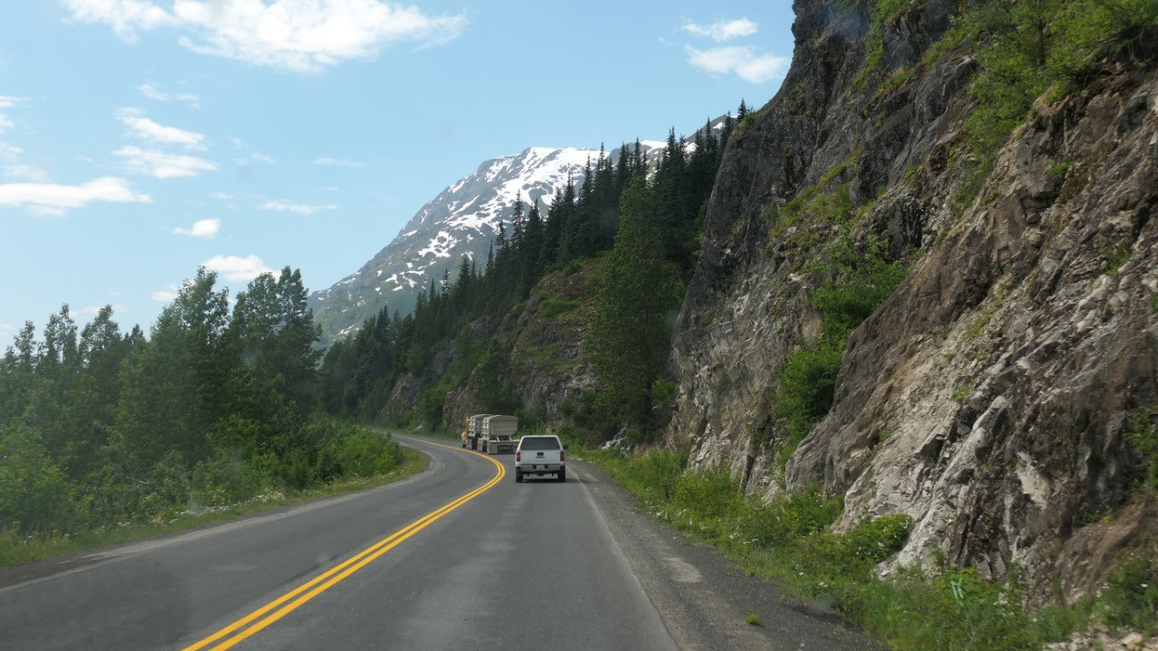
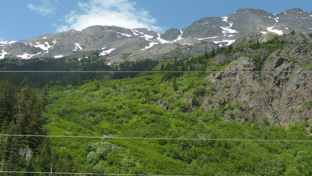
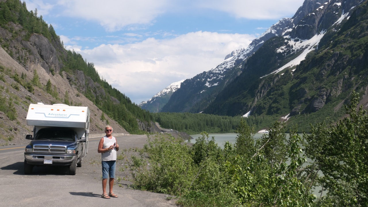
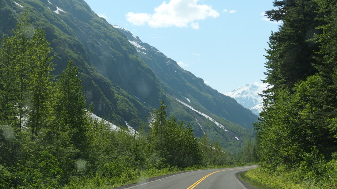
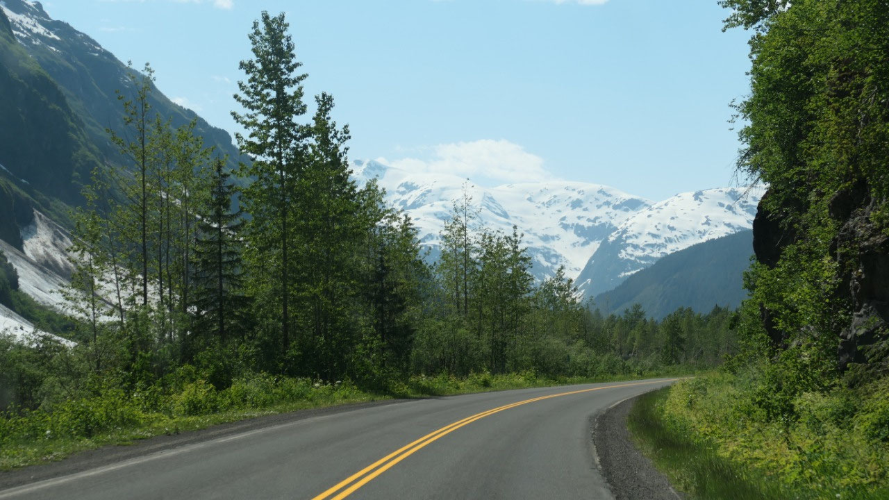
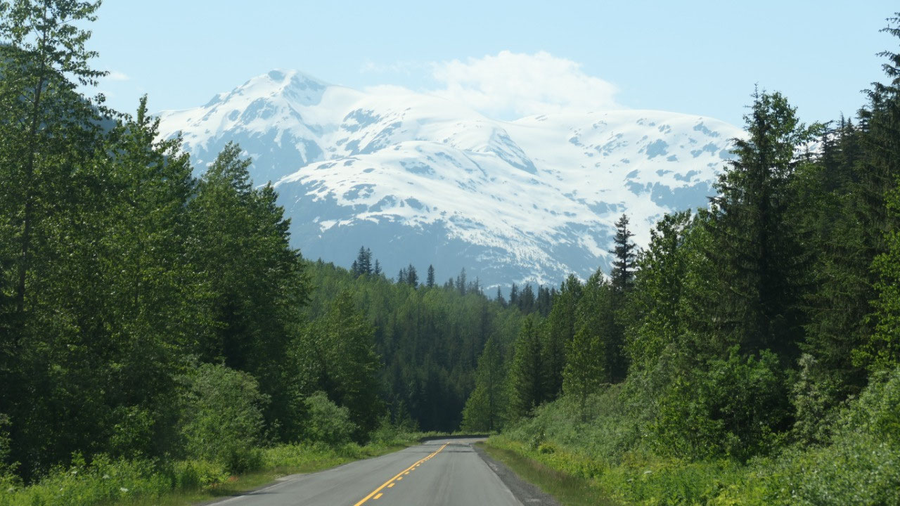
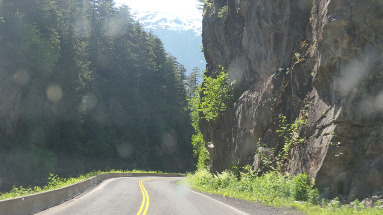
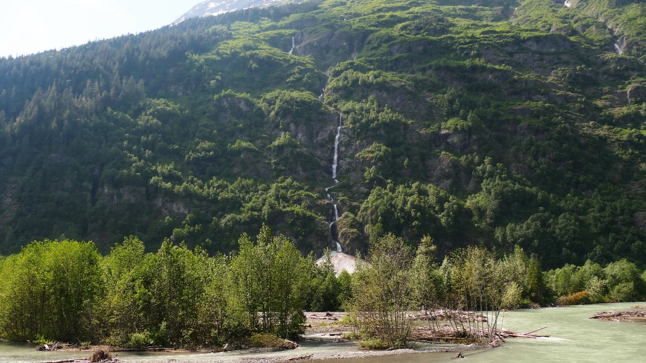
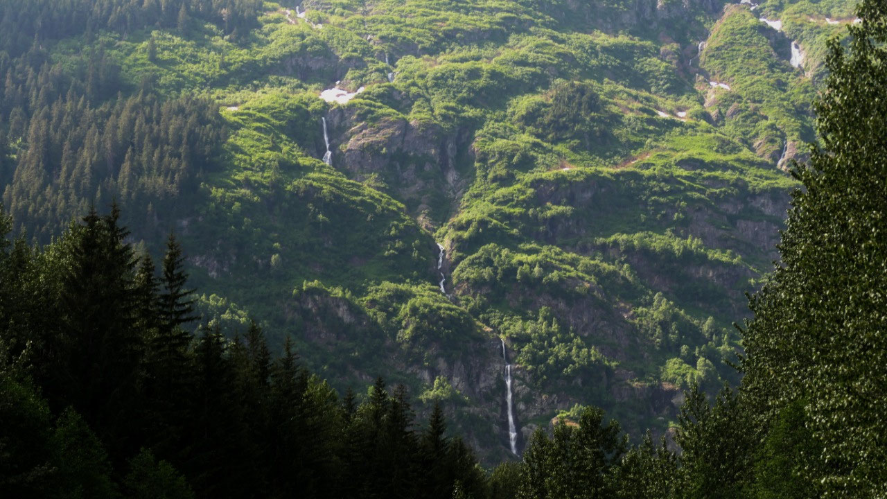
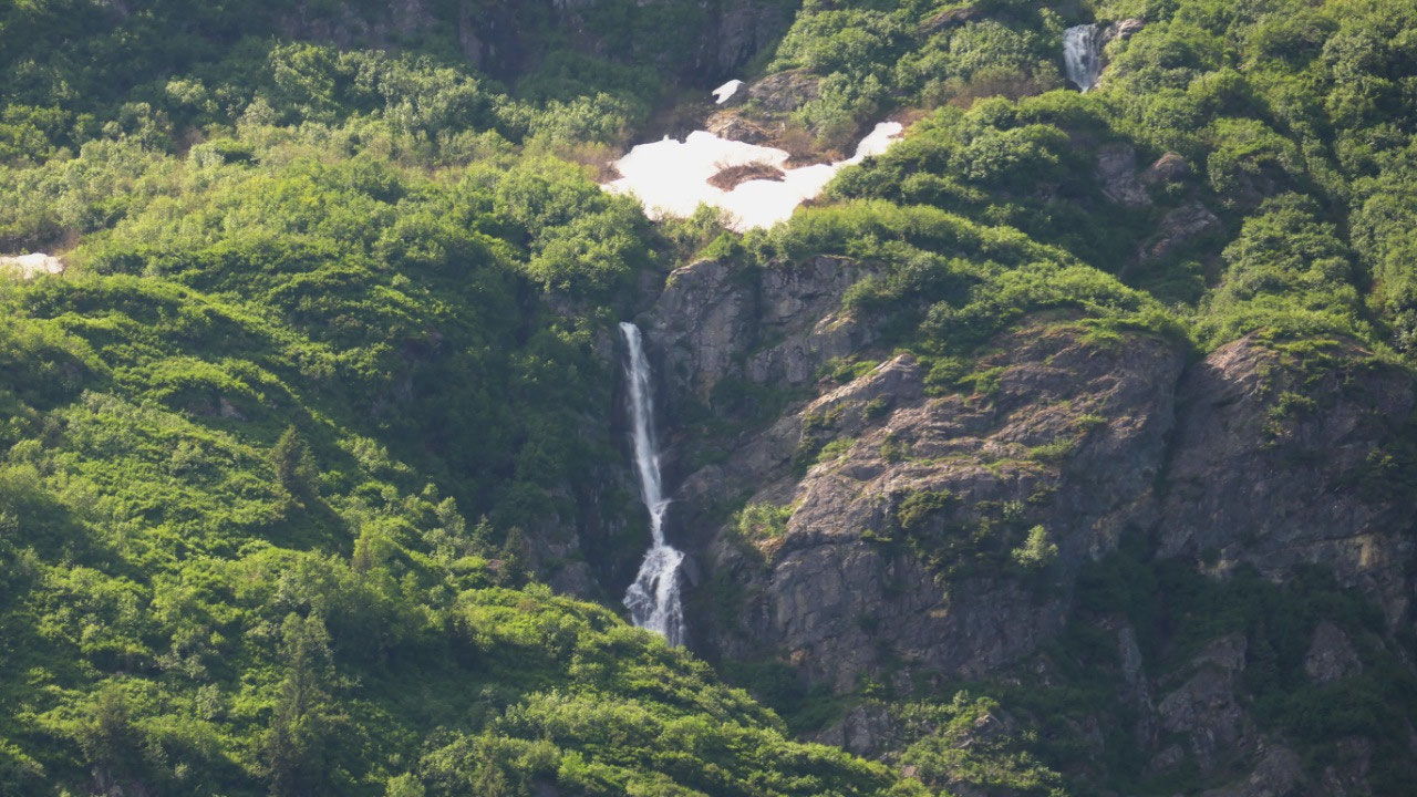
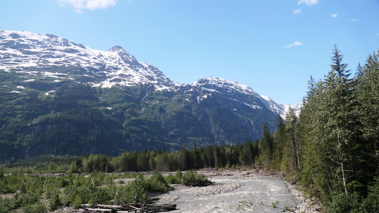
Amazing views on Hwy 37 A
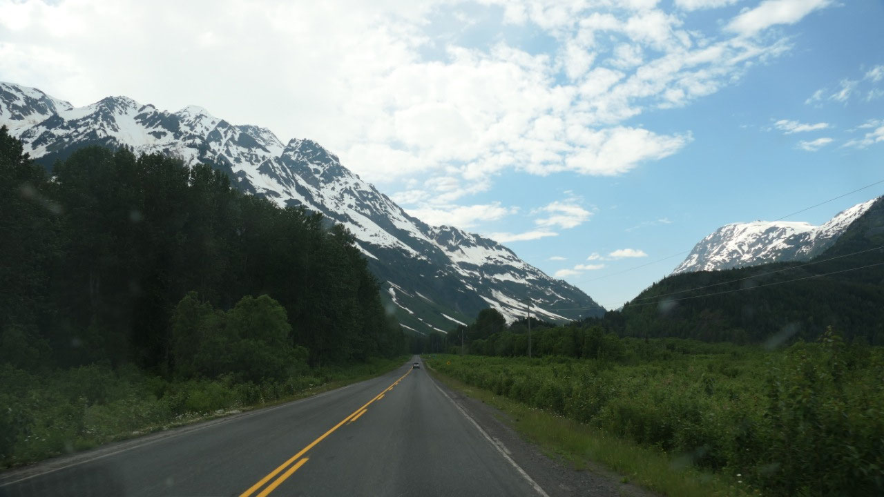
Ok, so papers out and we continue on
towards Steward. Now this road is spectacular – the mountains are amazing, the
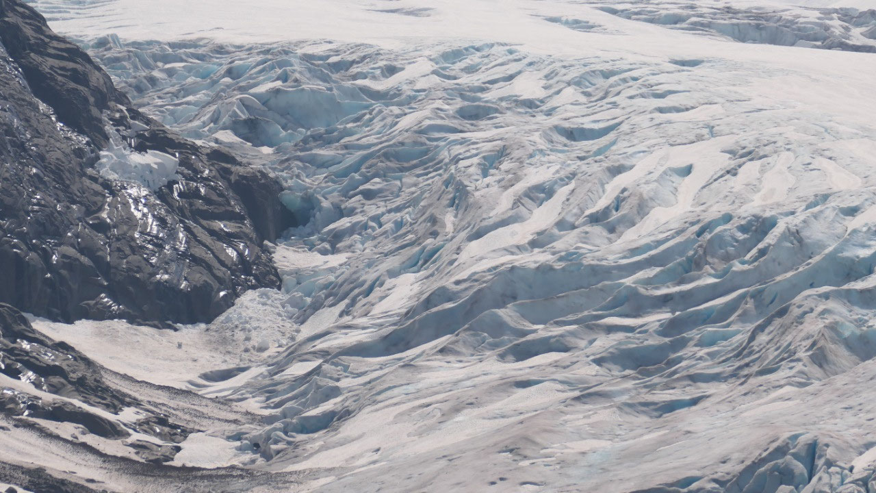
views and the glaciers, with lots and lots of waterfalls tumbling down on the
side of the mountains – truly amazing.
And the clouds are gone and we have blue sky – what an amazing drive.
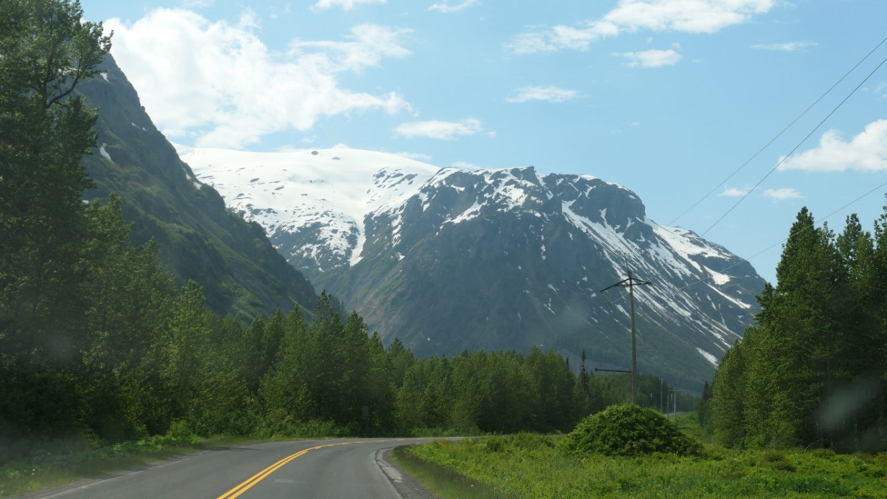
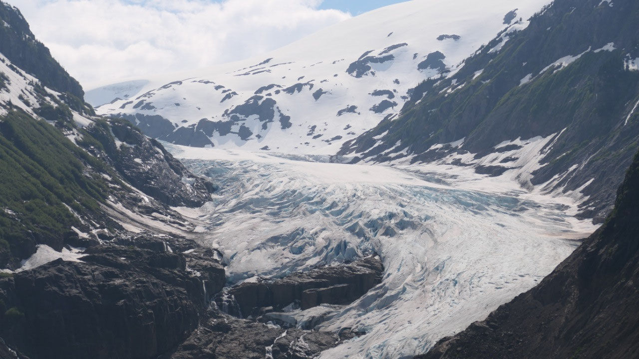
- They say the road from Mezidian Junction to Steward is one of the most scenic roads in North America
- You drive via Bear Pass and pass around 20 hanging glaciers in case you count when driving along
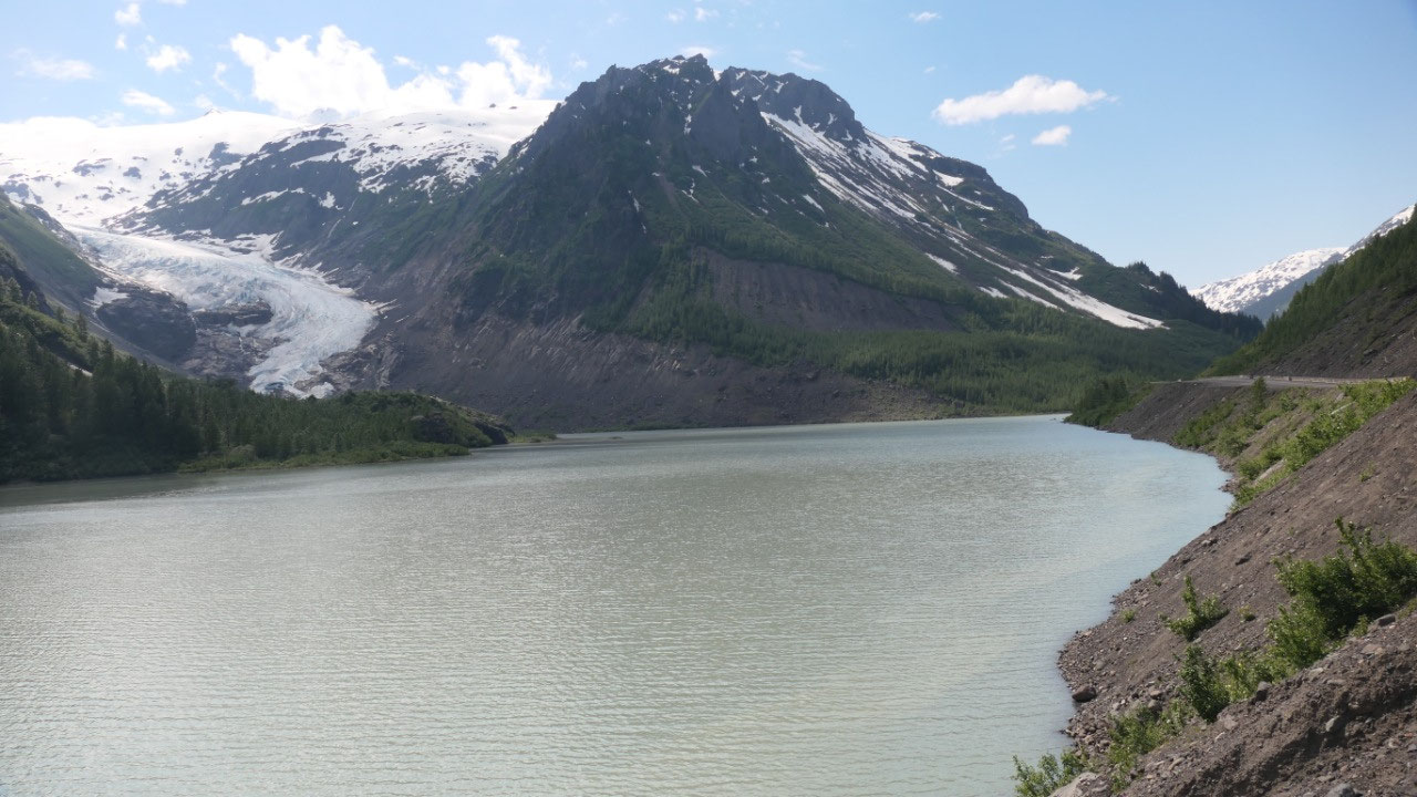
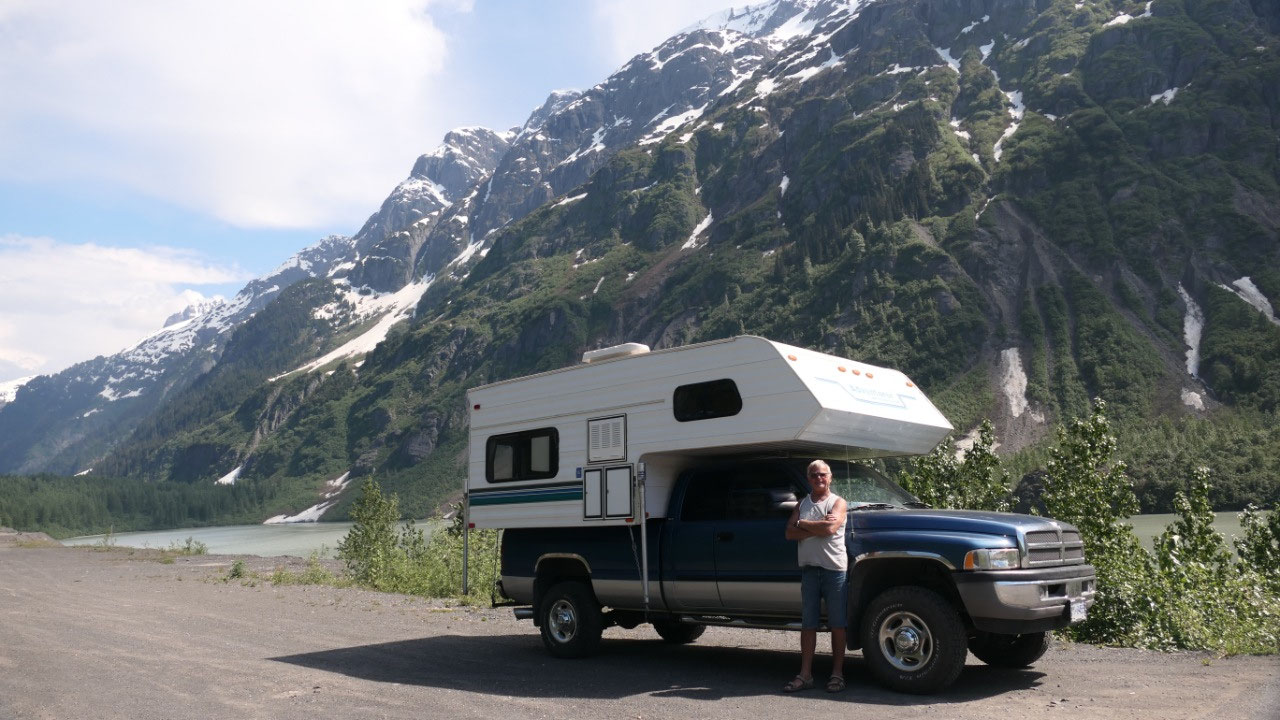
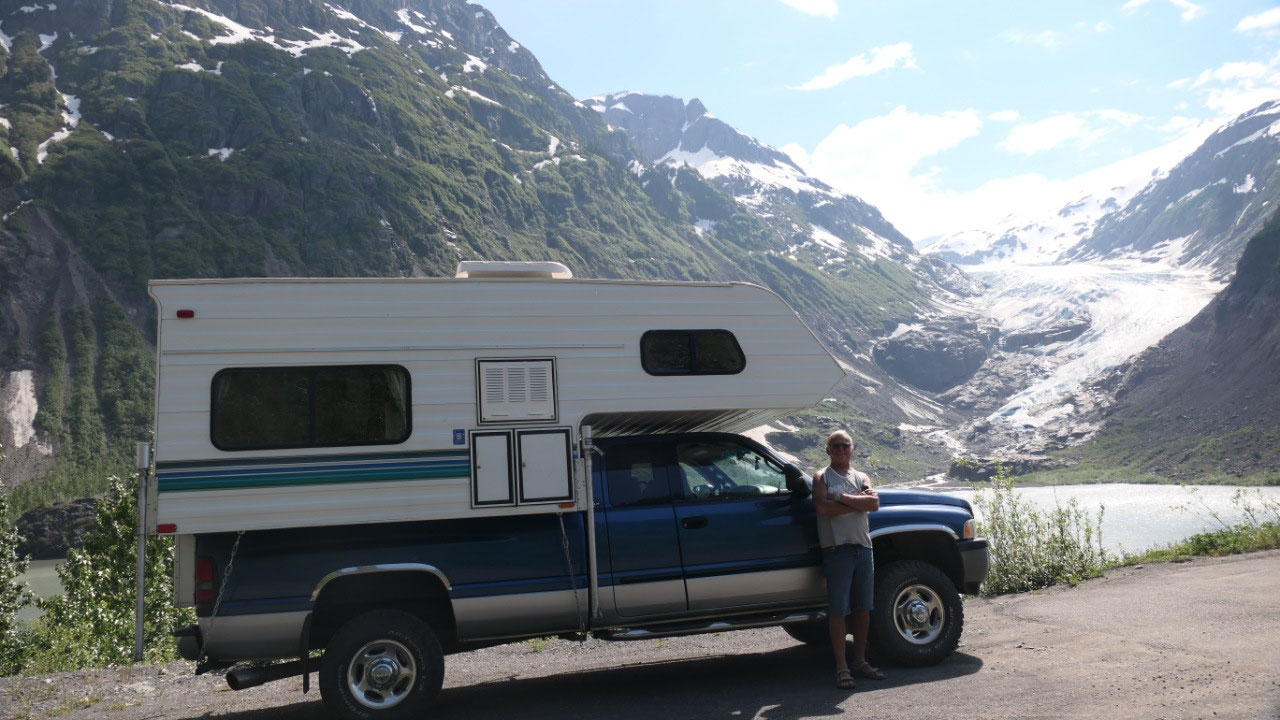
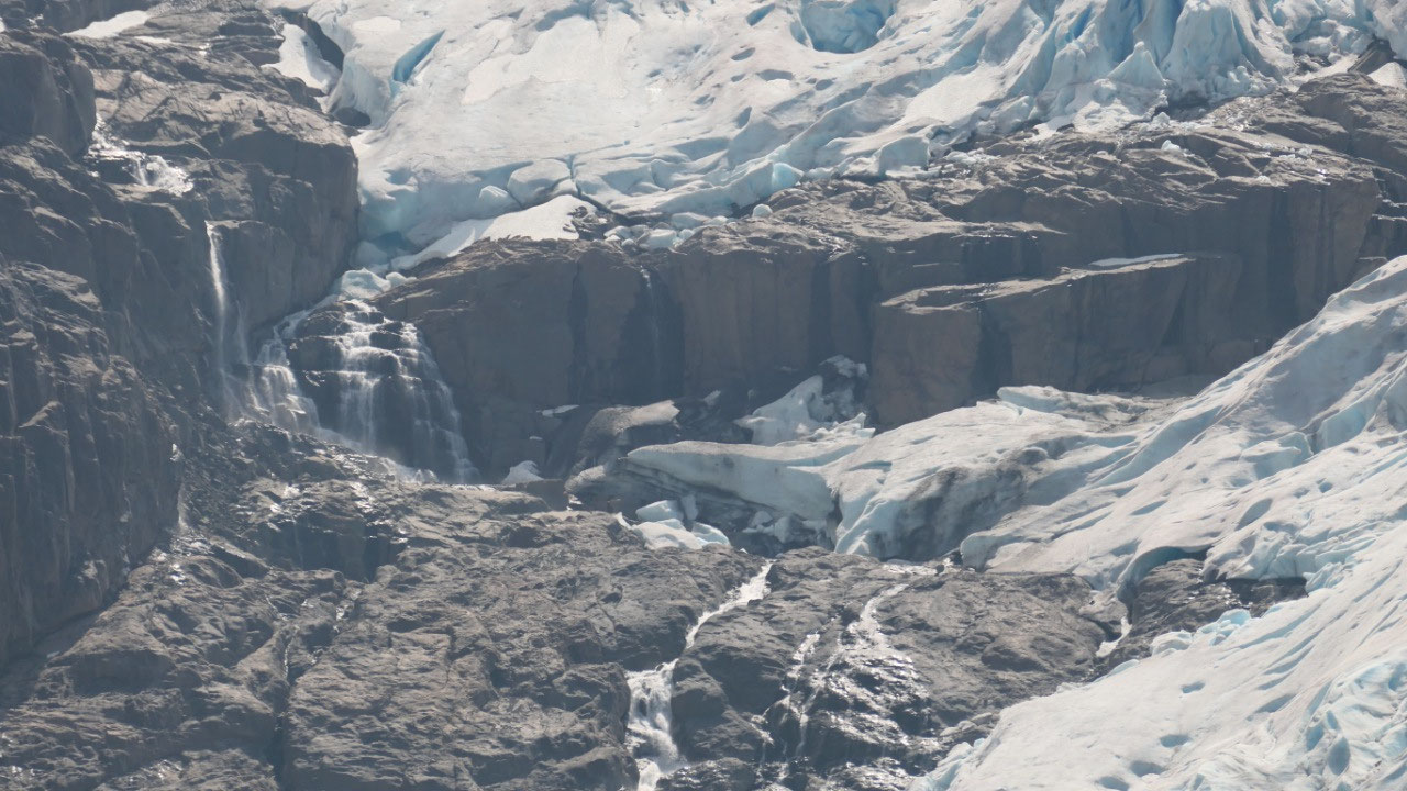
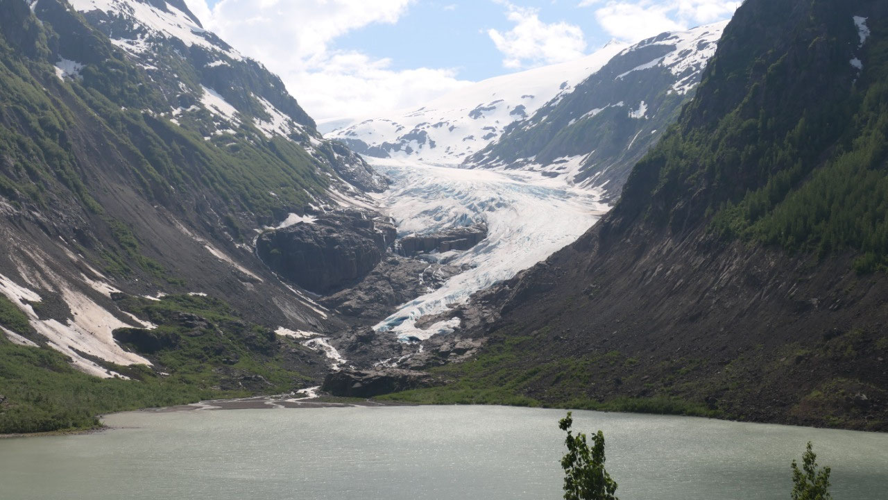
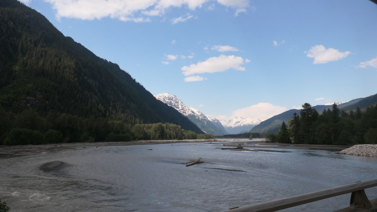
Blue sky at the Bear Glacier PP
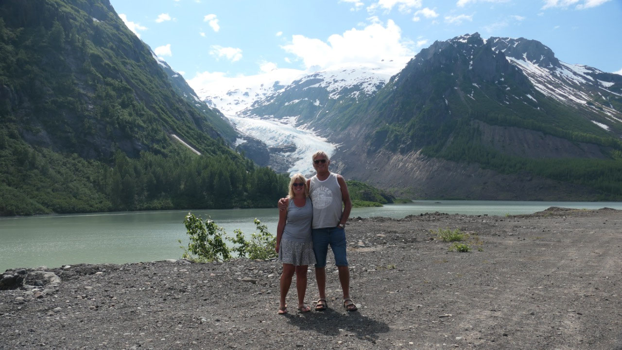
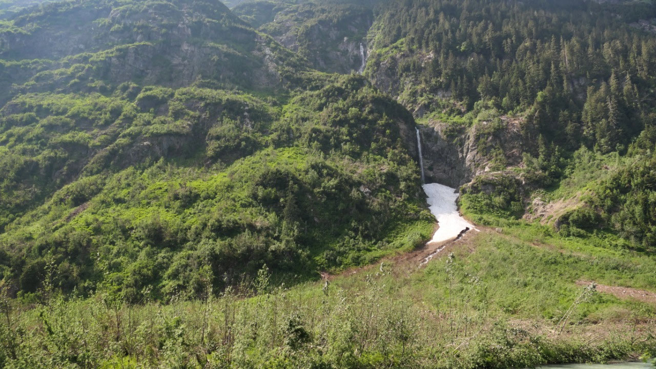
We did stopped then at the Bear
Glacier twice – once at the beginning of the lake and once at the end: which is
actually the nicer view. It is so truly amazing to look over and see the
glacier and the greenish looking lake. We can only say Wow!!! We have to stop
here on the way back.
- At one time the glacier reached this side of the valley (that is unbelievable how that mus be) – the old highway can be seen is around 100 m above the current road
- In the 1940s the glacier started to retreat and Strohn lake was formed: then the glacier acted like a dam and prevented the lake to drain into Bear River: then the glacier would flow. The water was flowing under the glacier creating a tunnel and then the lake would drain and the glacier settles down and the lake starts to fill up again: this happened 5 times between 1958 and 1962
- In 1967 the Bear Glacier melted away and the lake is no longer dammed
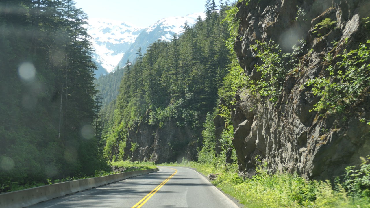
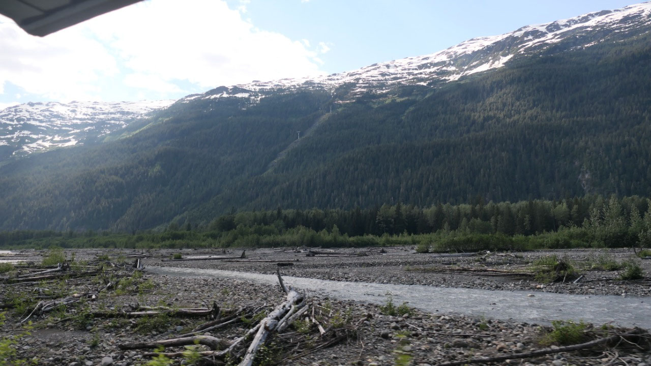
After we looked enough we continued on
the journey now through the Bear Creek Canyon – another beautiful drive.
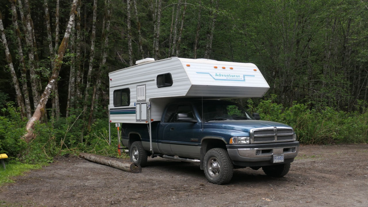
Clement Lake Rec Site
Gine said we can stay at this Rec Site
or go into stewart, we pulled in, the camping is more or less a big parking
spot across the lake with some picnic tables – and some nice views. We were
hoping to camp for free in Steward at the visitor info and continued on after
having a look around.
Where to stay in Steward
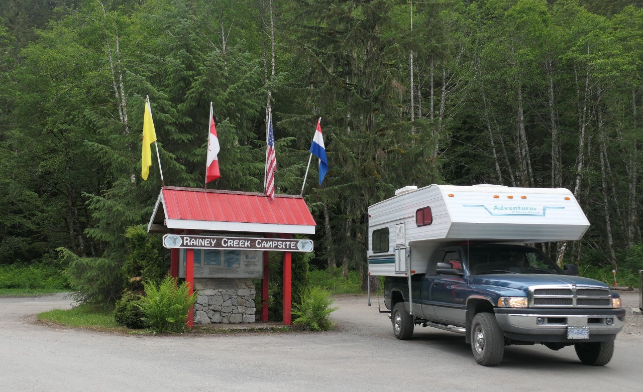
We went to the visitor info first, a
beautiful parking lot and when going in we discovered they put up a sign “no overnight
parking” – really – we then drove around Steward to check out what
possibilities we have and didn’t find anything that felt good, we then said ok
what options do we have: driving back to the Rec site (but then tomorrow we
have to come back here), go to the campside?? Or along a road which is weird,
so we went to check out the campsite – which did not sparkle our mind at all.
The check-in is even weirder as there is no-one around from 4.30 – 8.30, and
you have to look at the board where there is a wooden ring on a side then it is
occupied and you can then go to the Visitor info tomorrow morning to pay. We
circled the site were not impressed but then said, we don’t really want to
drive all the way back again, either, so we picked one close to the bathrooms.
They did had some wonderful showers hot and beautiful…. We are only staying one
night and will be inside – so no big deal at least we are nice and clean again.
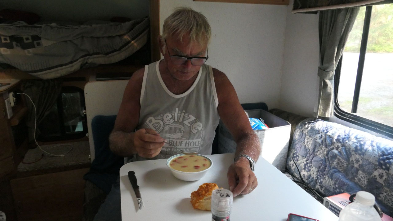
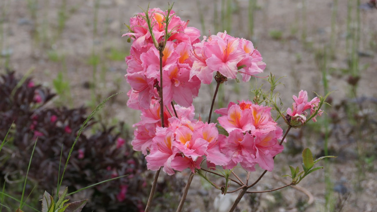
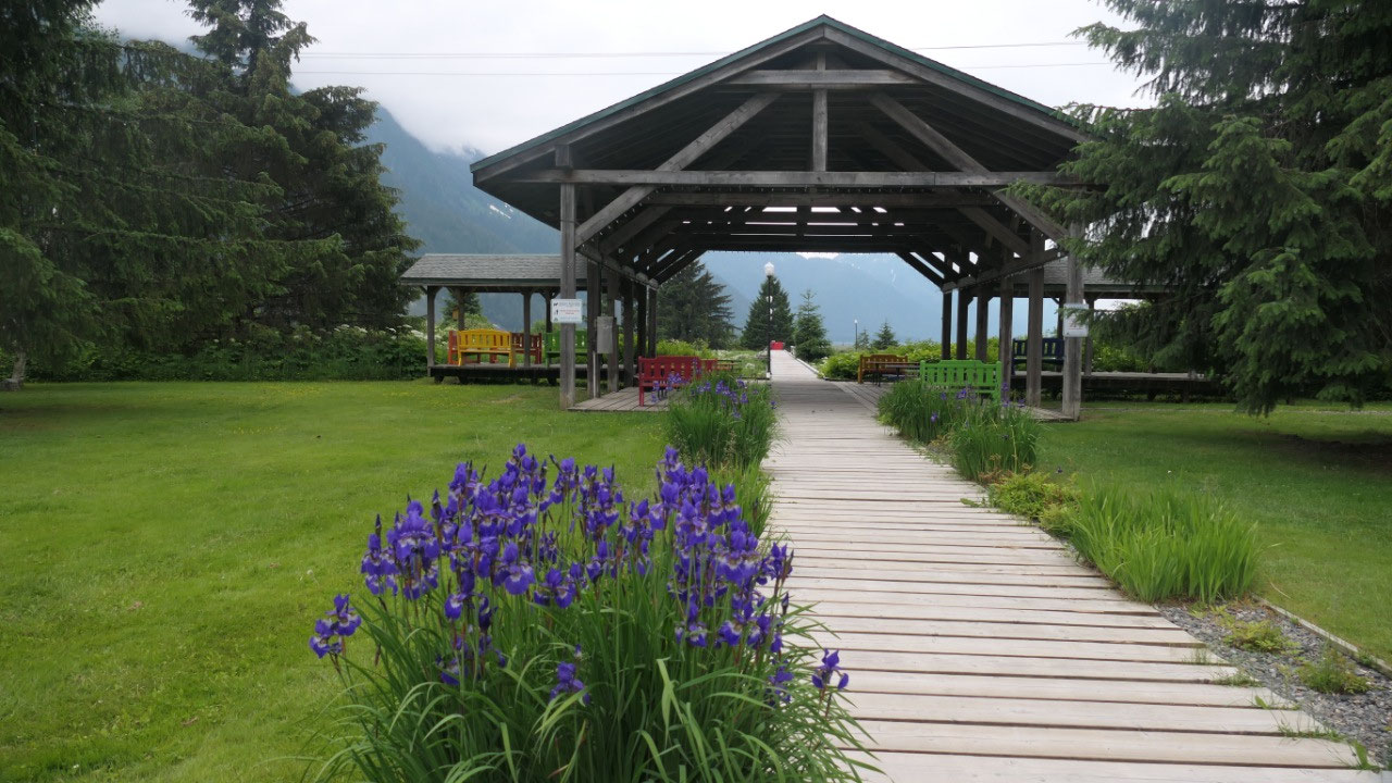
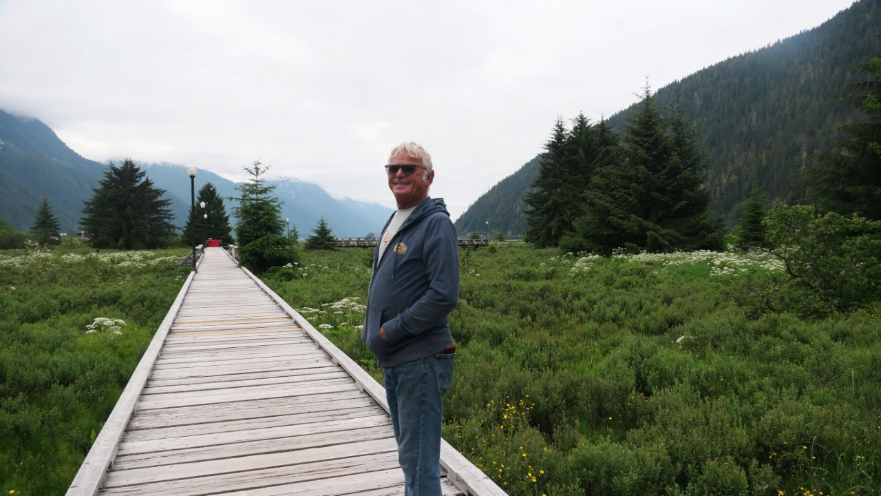
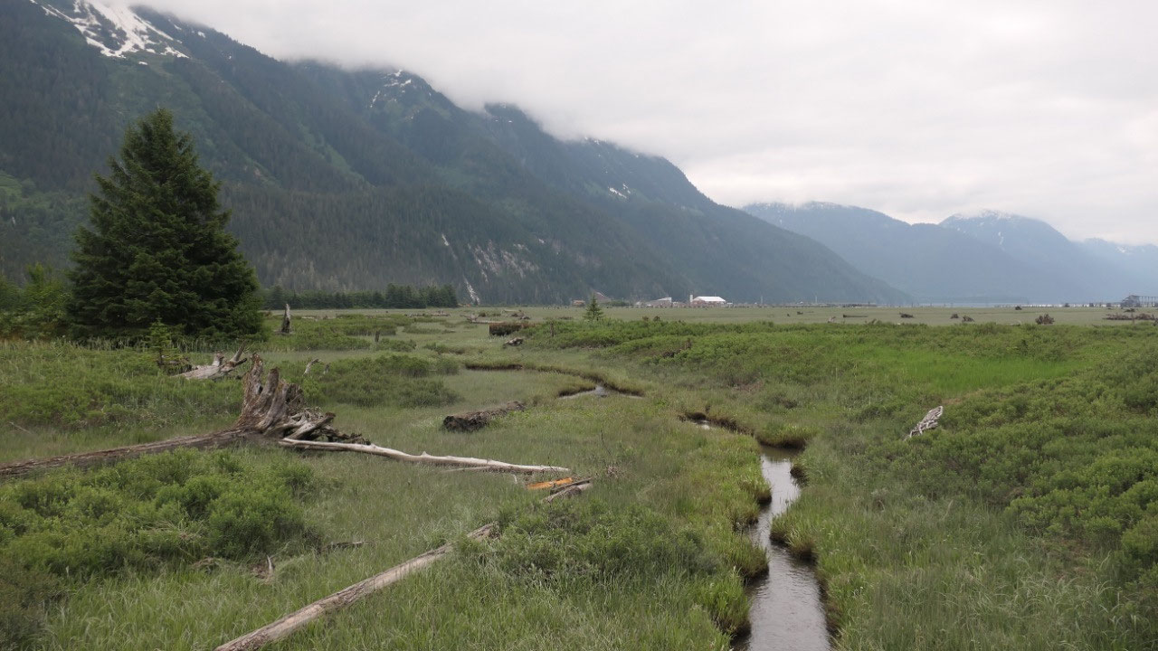
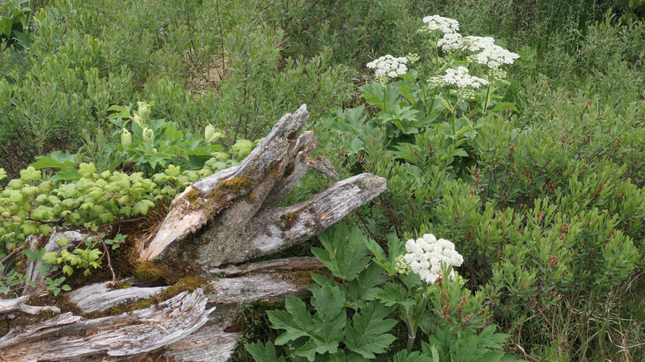
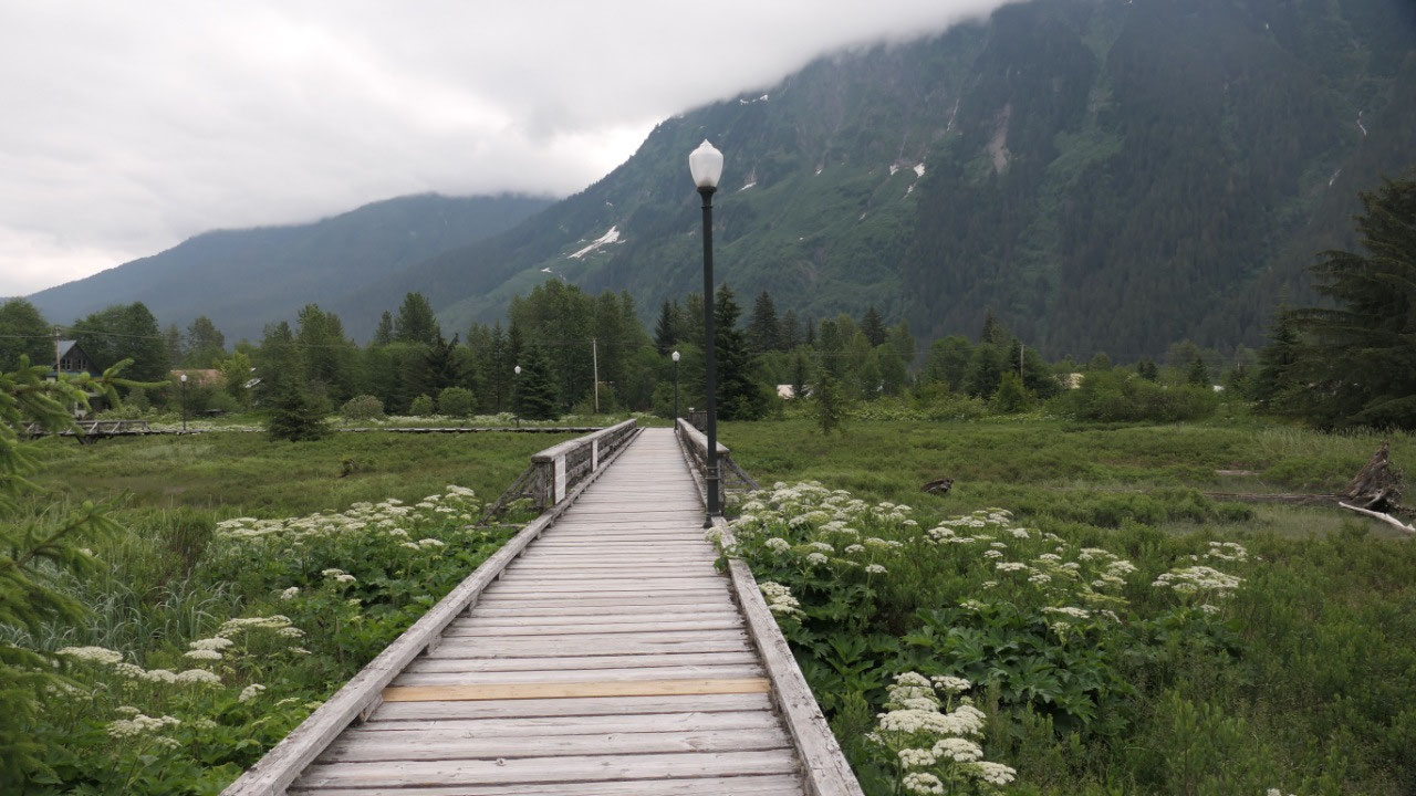
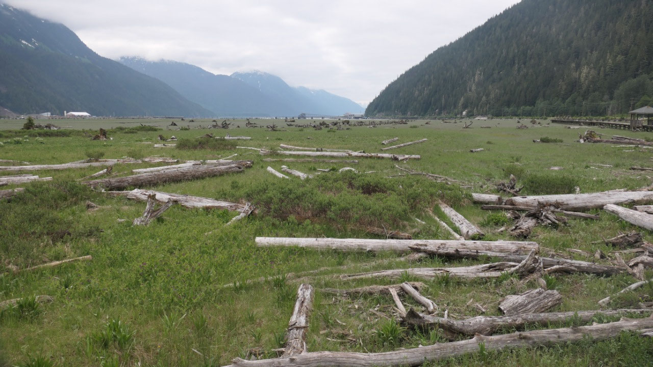
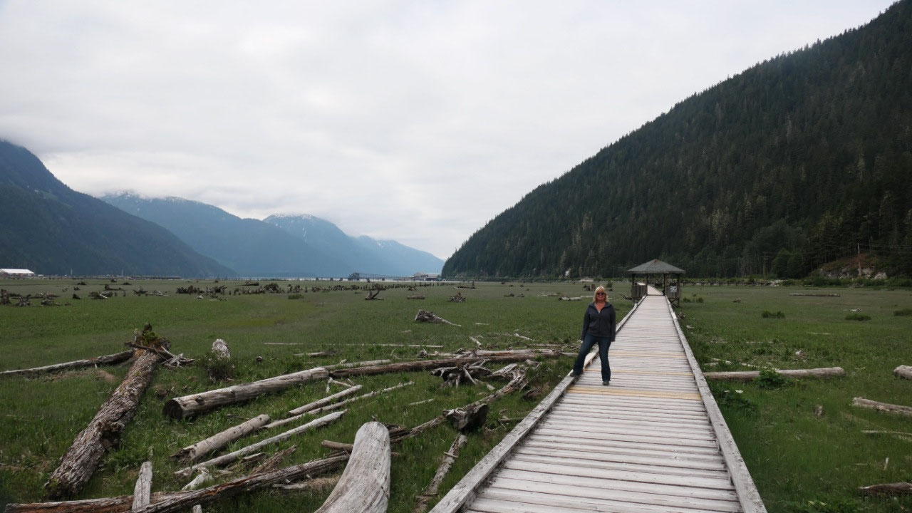
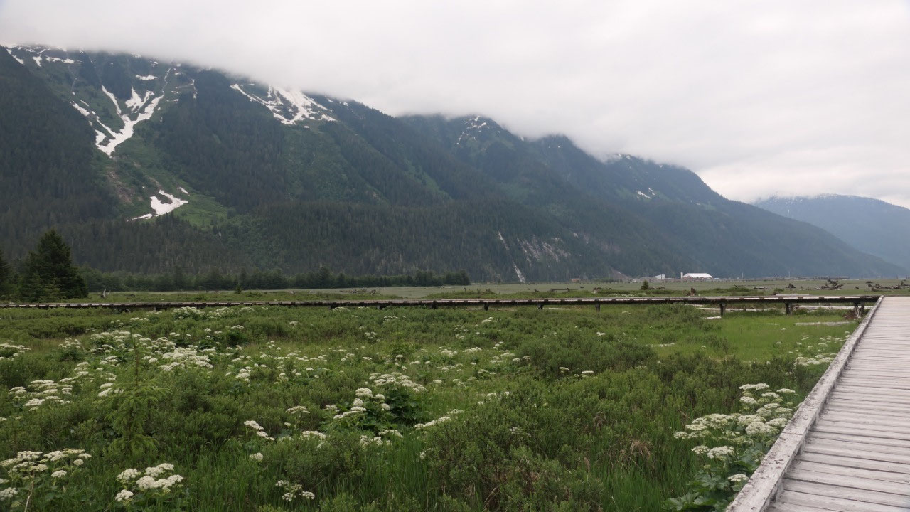
Clouds with coffee at the Visitor Info
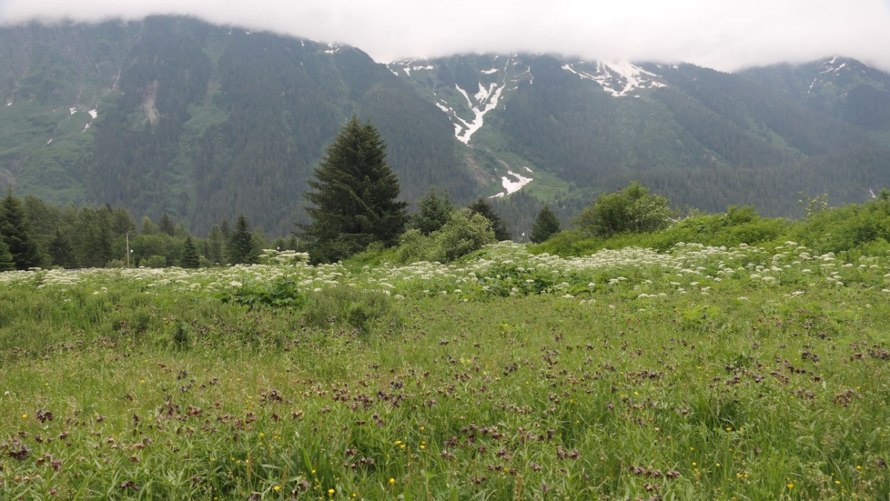
Waking up the clouds were hanging
around the mountains. We already decided to drive the two blocks to the visitor
info as it is nicer there. And that is what we did, we even had some wifi –
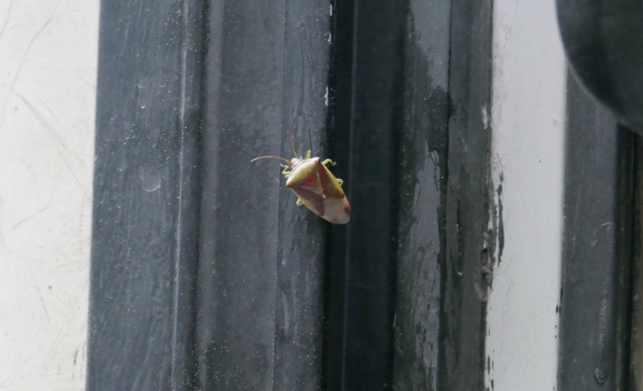
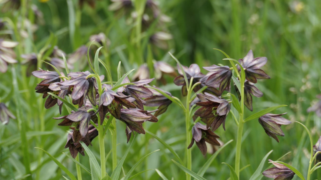
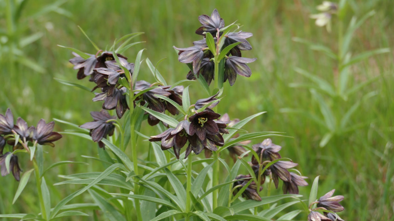
perfect. After a relaxing start we walked along the boardwalk in the estuary –
with great views on the marshland and the mountains – as well some super cool
flower.


2025-05-22