 Tok, Alaska, United States
Welcome to Alaska
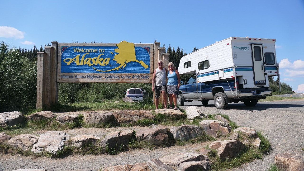
We are entering Alaska: North to the
Future
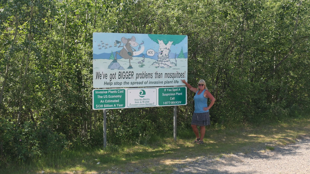
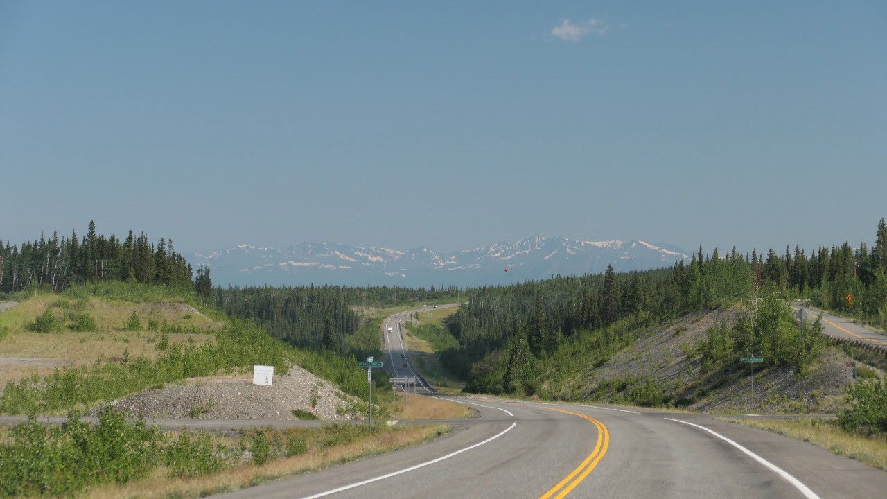
Ok first we have to leave Canada – now
big deal to drive by the Border station – but what we thought is interesting
the border is actually 30 km from here. And the road there was not that great:
gravel – paved – gravel – paved, every few km it changed it was super dusty and
not the greatest. And then comes this little rest area right before the border
with the big “Welcome to Alaska” sign, sure we have to stop and take a picture.
There is also a lot of info and a big marker so we can take a photo with a foot
in Canada and in Alaska.
By the way there was also a sign
stating that we should keep our cameras handy, as there is a lot of wildlife to
see in Alaska – but the truth was the most wildlife we saw in Northern BC (not
in Alaska).
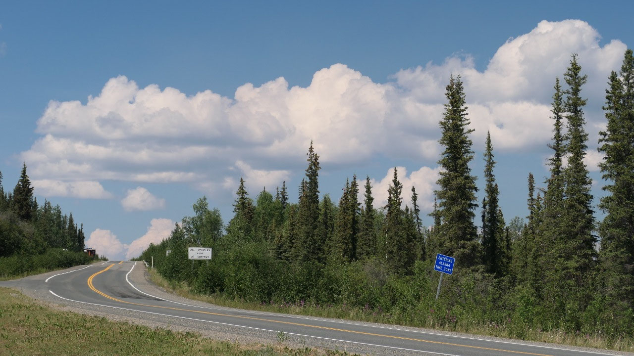
the US/Canada Border: 141st Meridian
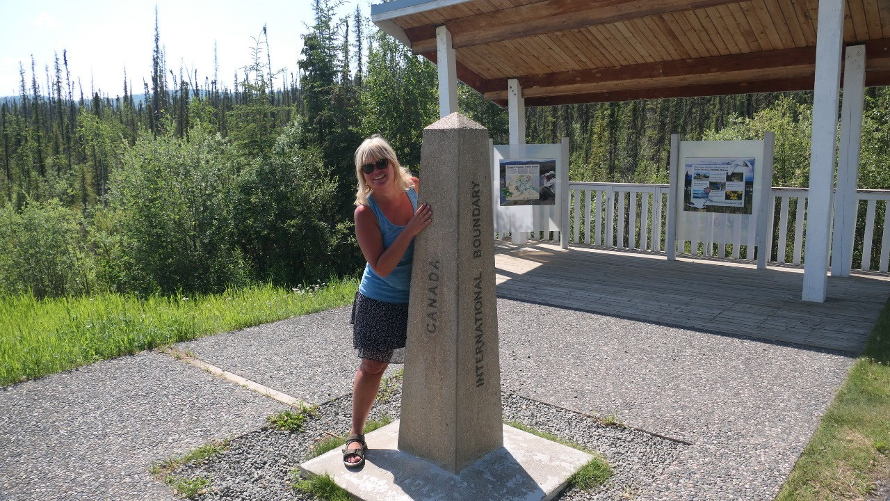
And here is an important stop as
we are at the 141st Meridian of longitude
- it follows 2475 km from the Artic Ocean to the Mount Elias Mountains: the border between the Yukon and Alaska is the longest undefended boundary in the world.
- It was first talked about in the 1825 treaty between England and Russia meaning Britain get all the inland trading and Russia the Bering Sea
- Once gold got discovered in the Klondike in 1896 both Canada and the US wanted the sea ports in the Lynn Canal and in 1903 it got resolved with giving them to the US.
- In 1906 they then started to officially survey the 141st meridian, hundreds of surveyors travelled through the tundra, mountains and forests by canoe, horses and by foot – it got completed in 1913
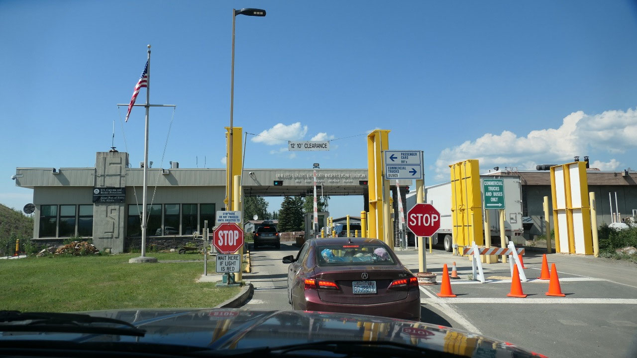
And then comes the border station: Gine
is already worried that it takes forever – after only a few questions and we
are ready to go!!!! That was easy!!!!
The 49th state:
3rd time is the charm
correct: because we entered Alaska now for the 3rd Time: first
Hyder, then Skagway and now here. But this time we will spend the rest of the
month here – so what is so special about Alaska that we came here:they
say the biggest mistake you can make is not to come here – and once you are
here you don’t want to leave:
- The Aleuts called is Alaxsxag “where the sea breaks its back” or “the great land”
- they think the first Alaskans arrived the 900 mile land bridge from Asia – the Bering Strait and that the permanent settlement in the high Arctic started around 2000 BC (there are over 2700 archaeological sites)
- 1741 Danish Explorer Vitus Bering became the 1st European to set foot in Alaska
- 1788 Captain James Cook looks for the Northwest Passage and got turned back by 12 feet of ice walls
- 1778 Russian Grigoril Shelikhow established the 1st permanent European Settlement at Kodiak Island
- 1804 with 4 war ships Aleksandr Baanov defeats the Tlingit and Sitka and established New Archangel (Sitka’s former name) as the new capital of the Russian American Company
- The Russians called it Boleshaya Zemlya “the Great Land”
- 1867 Secretary of States William H Seward negotiated the US purchase of Alaska from Russia for 7.2 Mill US $ - it was heavily criticized and many called it “Sewards folly”, as many viewed it as wasteland
- 1896-1900 the Klondike Goldrush happened
- 1900 the capital moved from Sitka to Juneau
- 1942 the Japanese bombed Dutch Harbour for 2 days and invades the Aleutian Islands: the Start of the Alaskan Highway starts
- 1959 Alaska becomes official the 49th state
- 1964 North America’s worst earthquake happened 9.2 on the Richter scale on Good Friday devastating Anchorage
- In 1980 President Jimmy Carter sign the Alaska National Interest Land Conservation Acr: this preserves 79 Mill acres of wilderness and it created 15 National Parks
- The license plate says “the last Frontier”
- It is the largest of US states (more than twice the size of Texas)
- It is the state of extremes: the tallest mountains, the largest area of national parks, the highest concentration of glaciers and the longest stretch of coastline in the US
- By the way Alaska has lots of public land – which is actually public and you can do nearly all
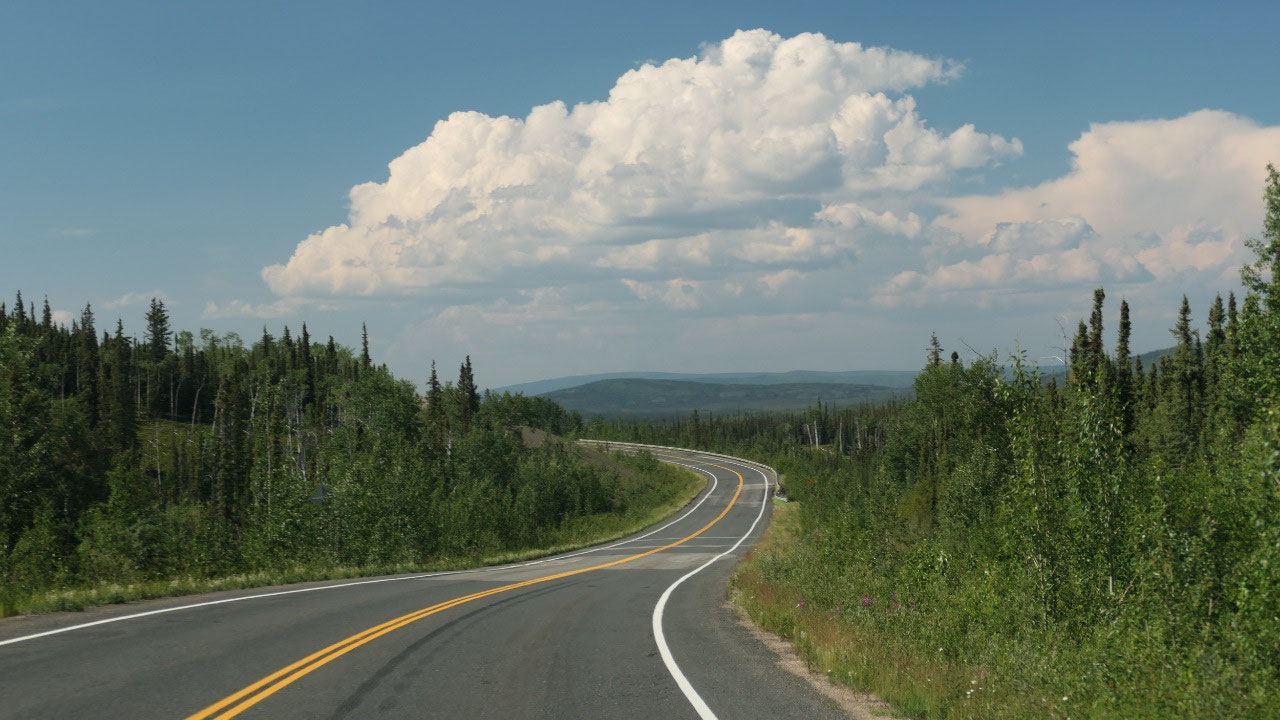
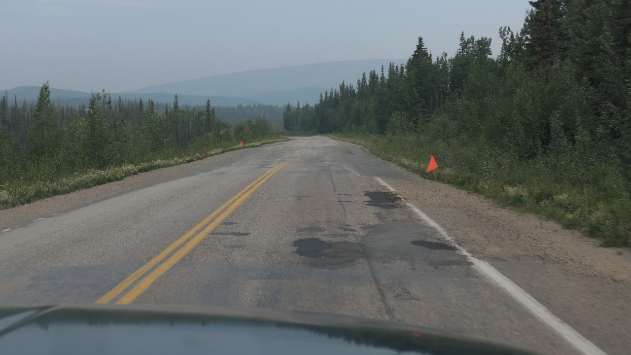
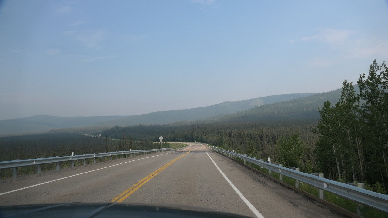
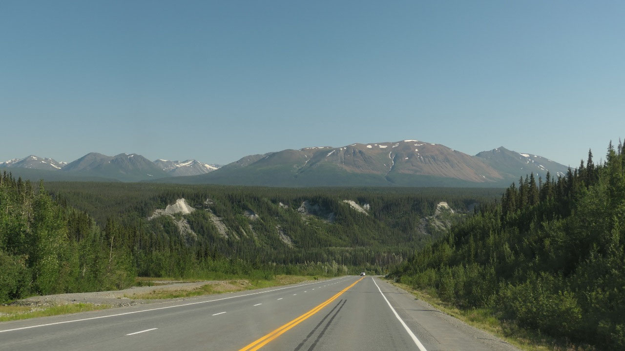
We love potholes:
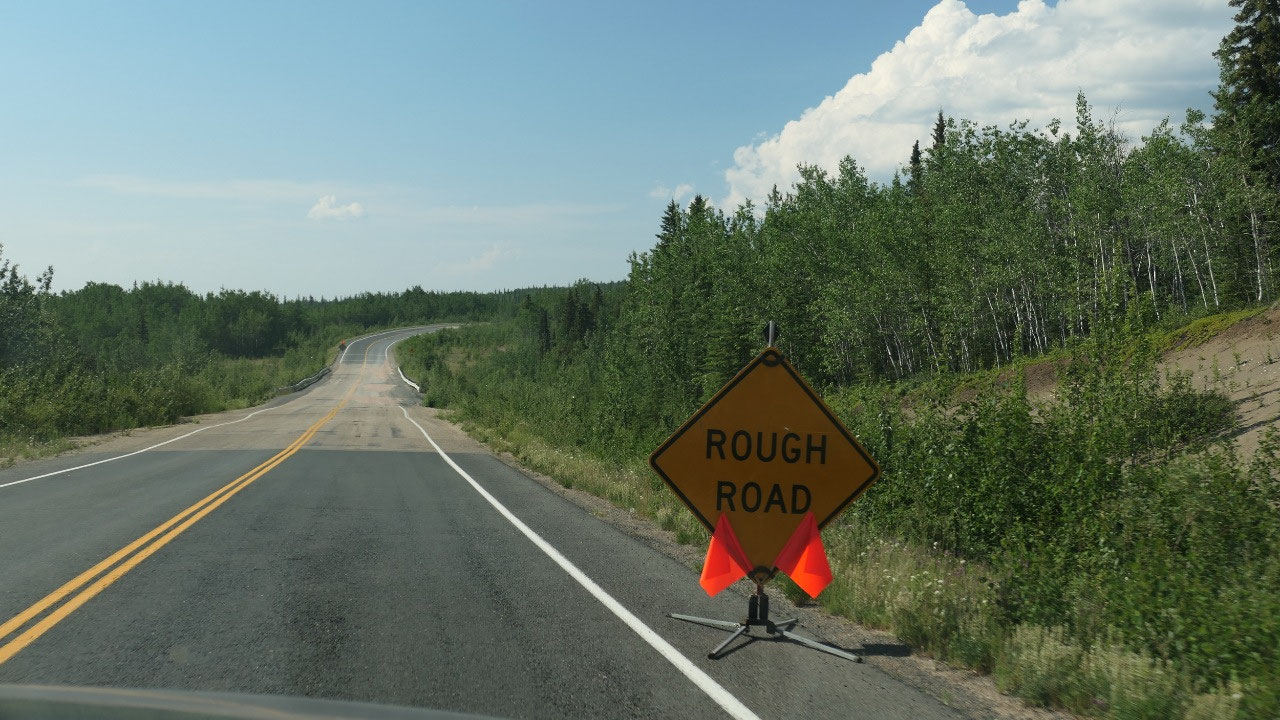
Ok, so don’t expect that the roads get
better in Alaska: because here they lots and lots and even more and very deep
potholes – it is an Art to drive around them. Paul is super busy and has to
drive super concentrated today – wow that is a challenge and by now it is
coffee time!!! We should stop and take a break. I think it is funny, when then
once in a while a sign comes “Rough road”
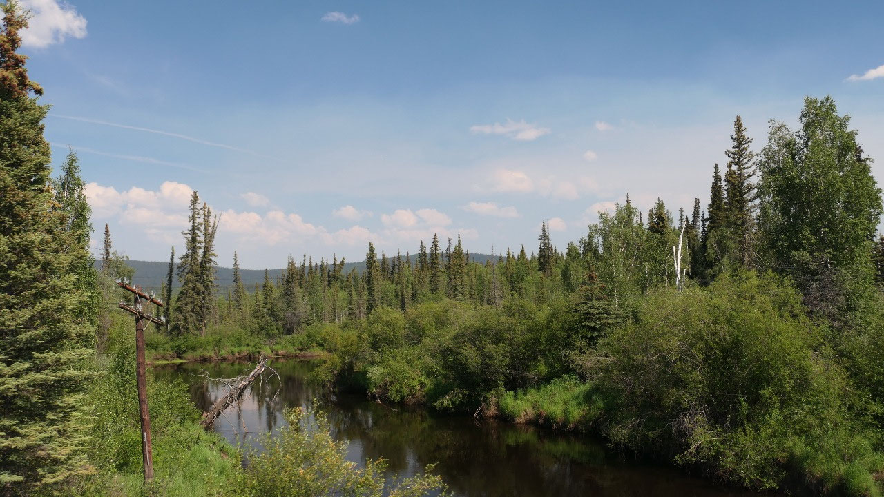
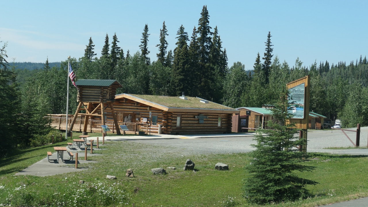
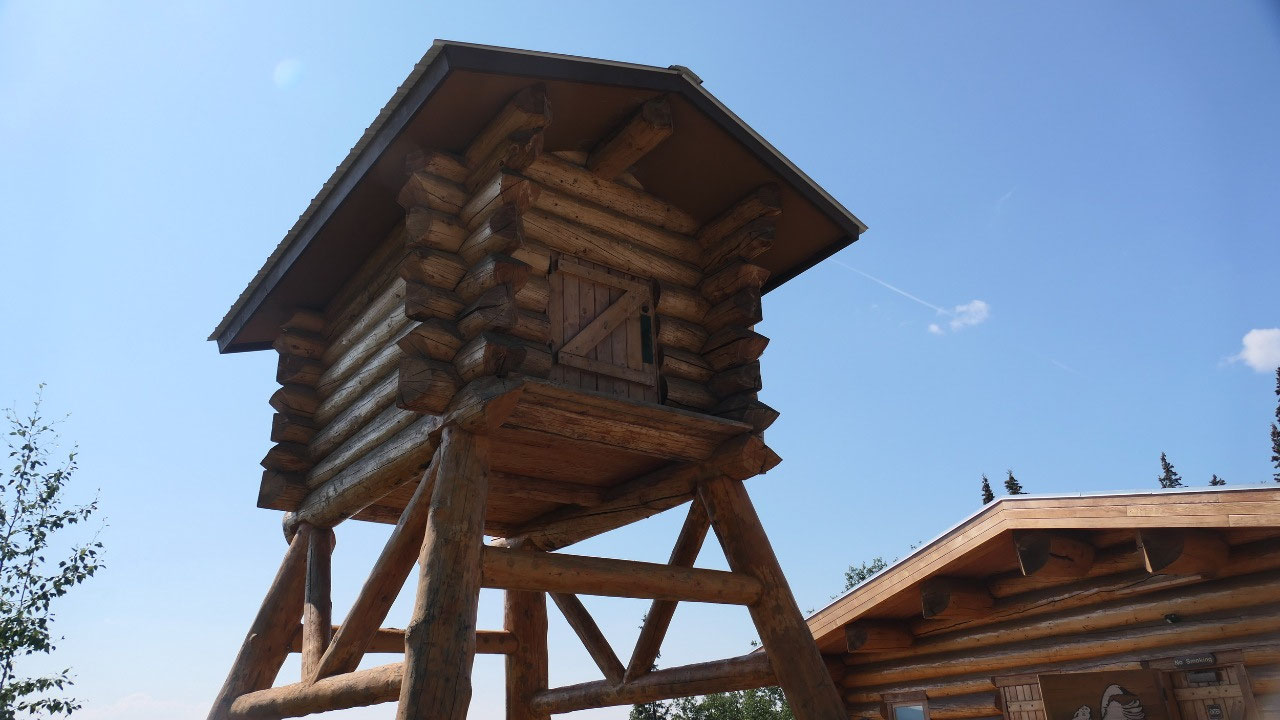
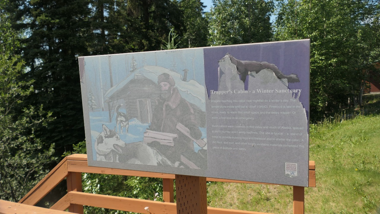
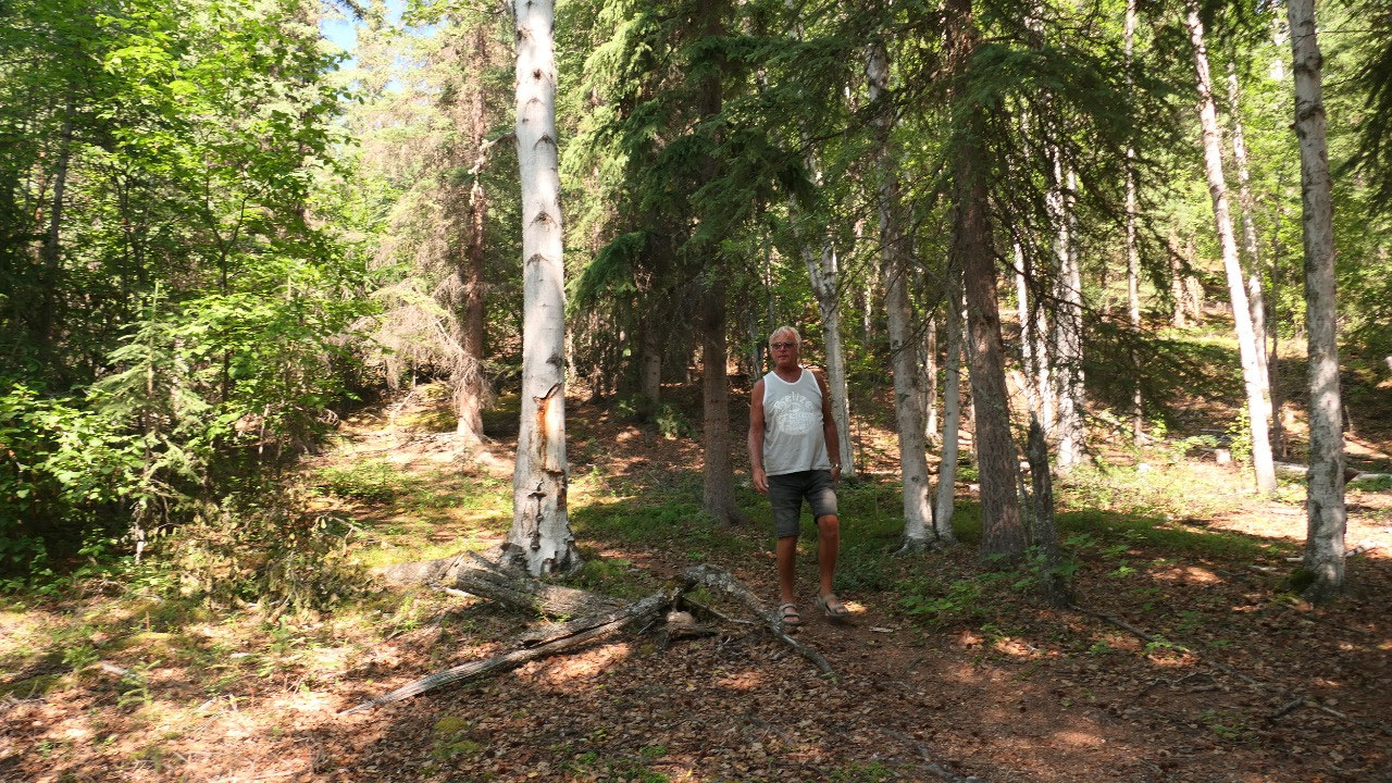
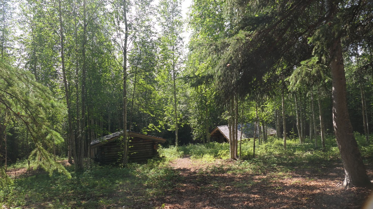
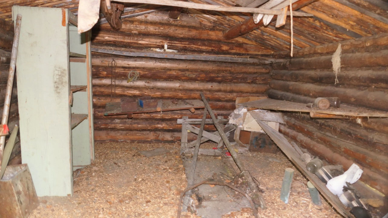
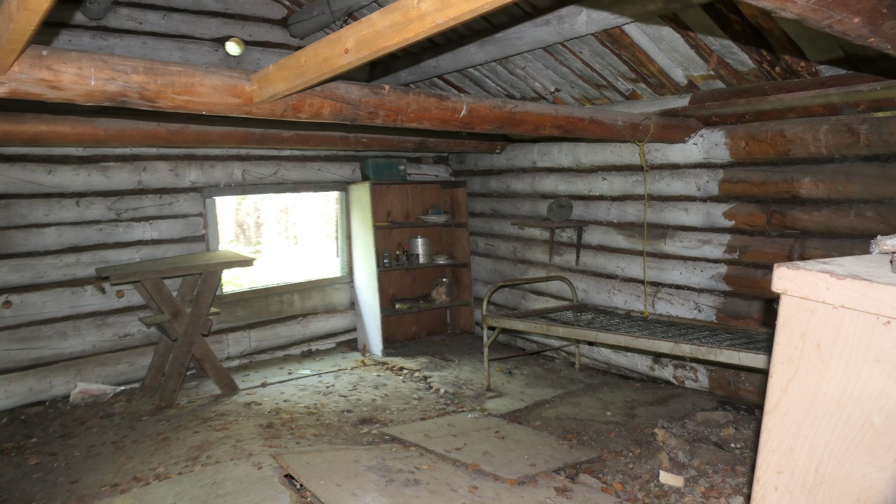
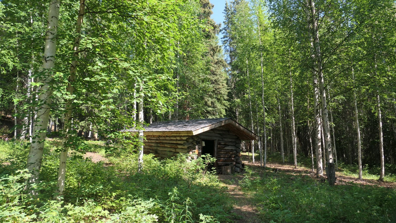
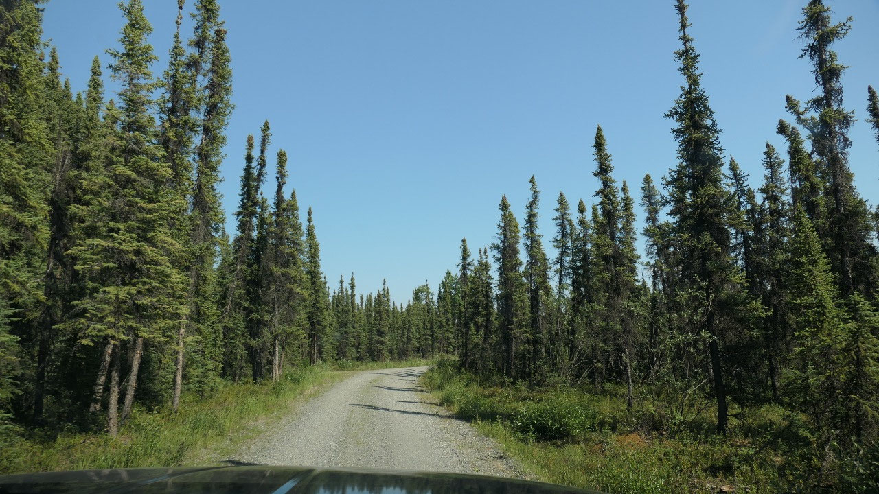
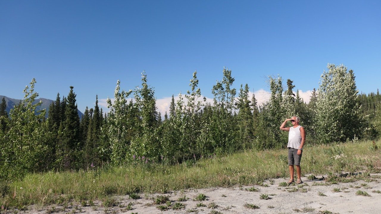
The old Trapper Cabin
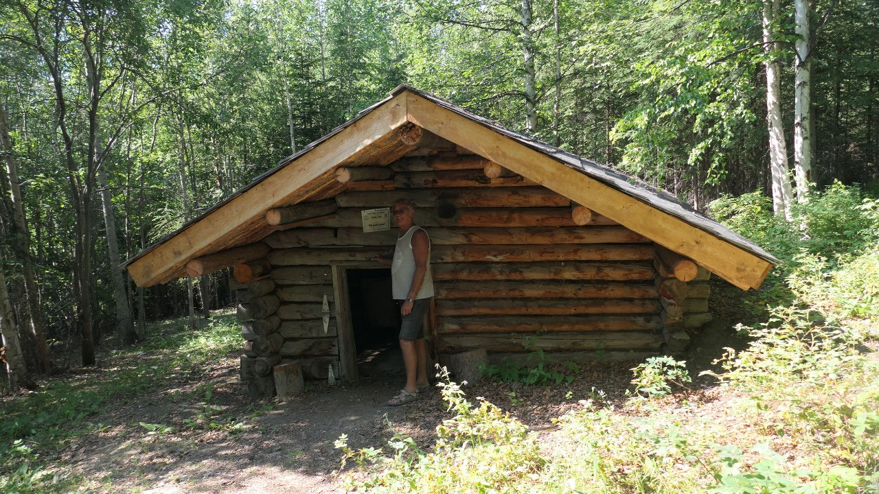
Gine said we stop at the Tetlin
Wildlife refugee – I guess they are closed on a STAT holiday – at least no-one
is there even the sign says open 8-4. We still can have a coffee and then walk
over to the viewing platform – no in that heat we are not able to see any
animals, no one wants to be outside. Then Paul discovers a sign Trapper cabin
and we decide to walk there, ok it is longer walk than we thought, at least in
the forest it is a bit cooler, there are also a few mosquitos but not too many:
we could go inside both of the cabins – I mean the door is not made for a
person Paul’s height!! And it is also not very high inside – there were still
pots, bedframe, tools in there – I wonder on how old they are and we also
learned and saw our first food cache.
- We learned they inside as cold as outside until you make fire. Those cabins were common and spaced a day’s journey apart, they are built in trees so there is firewood around and they are protected
- Caches were used by the trappers they kept in them their trapper lines and survival items to keep it safe from bears and rodents. Later the homesteaders did the same to store sleeping gear, axes, saw, food so it wouldn’t spoil or freeze, and was protected against flood and animals
- The frontier code was that a stranger could open a cache and use a cabin but they had to replenish all the supplies they used
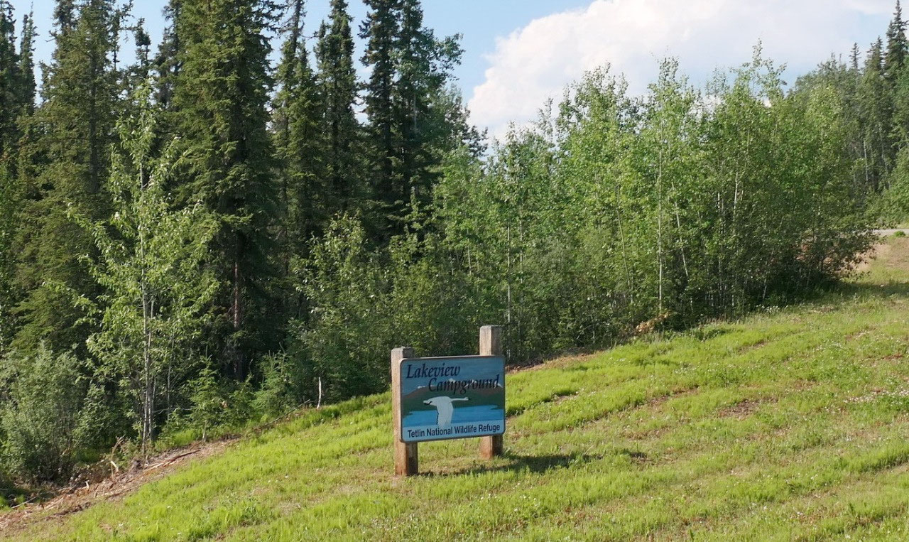
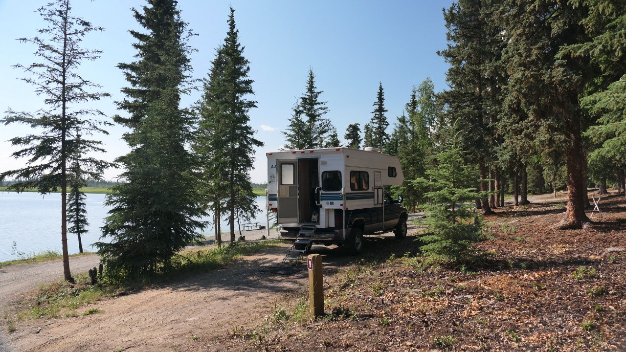
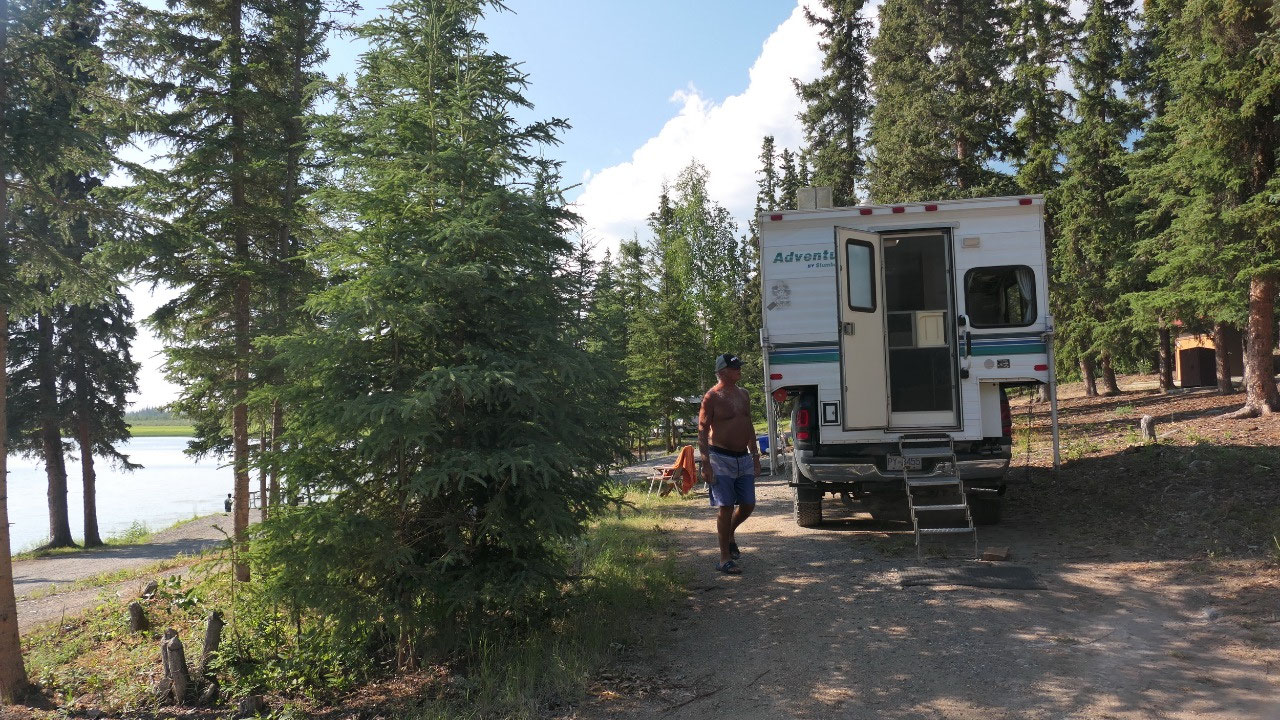
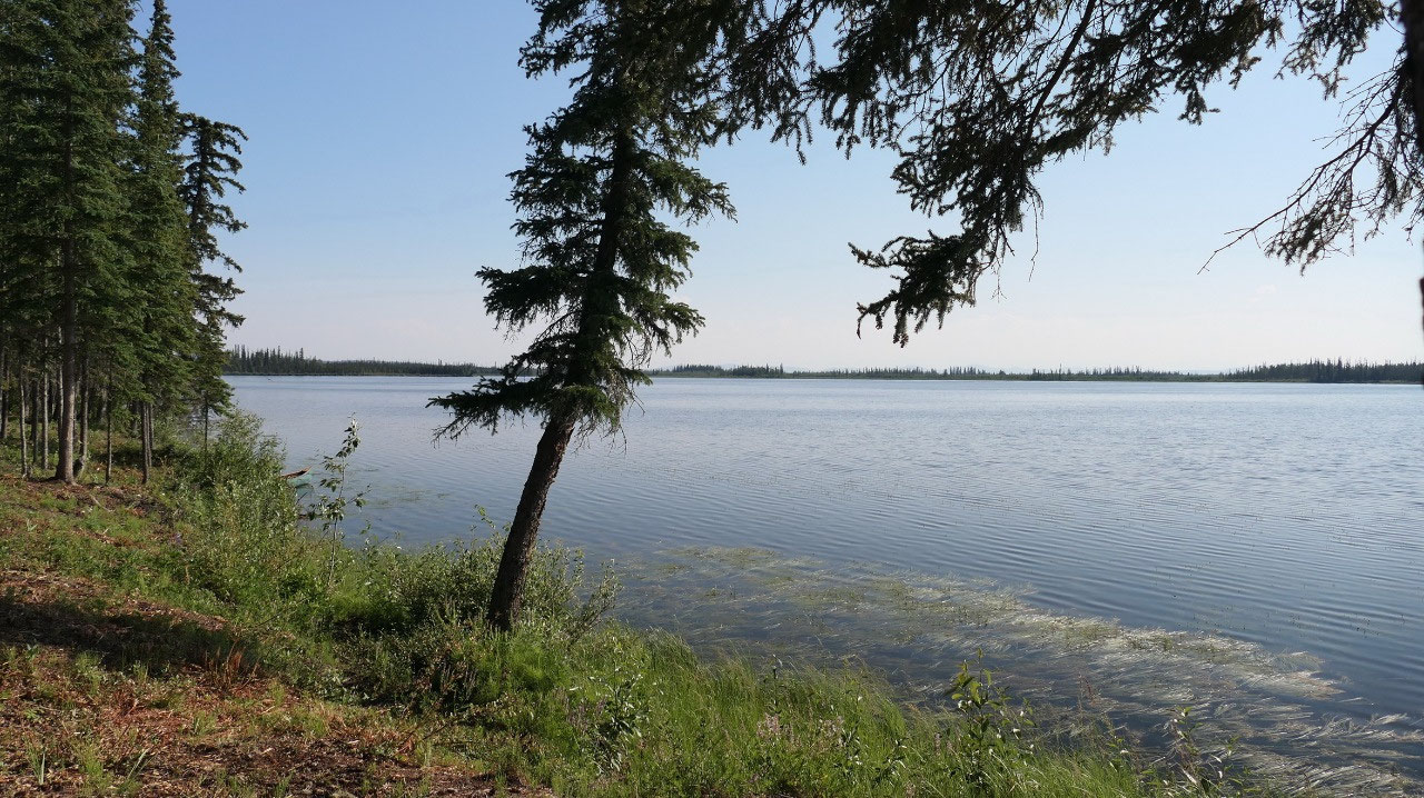
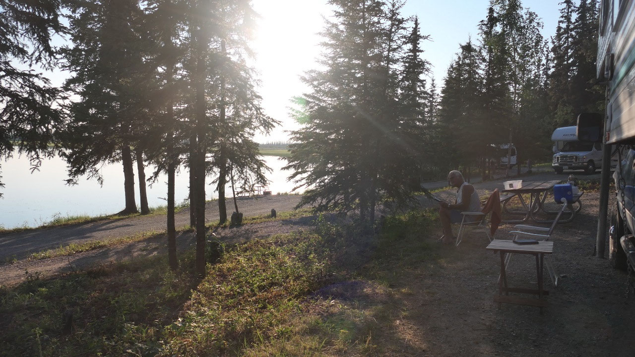
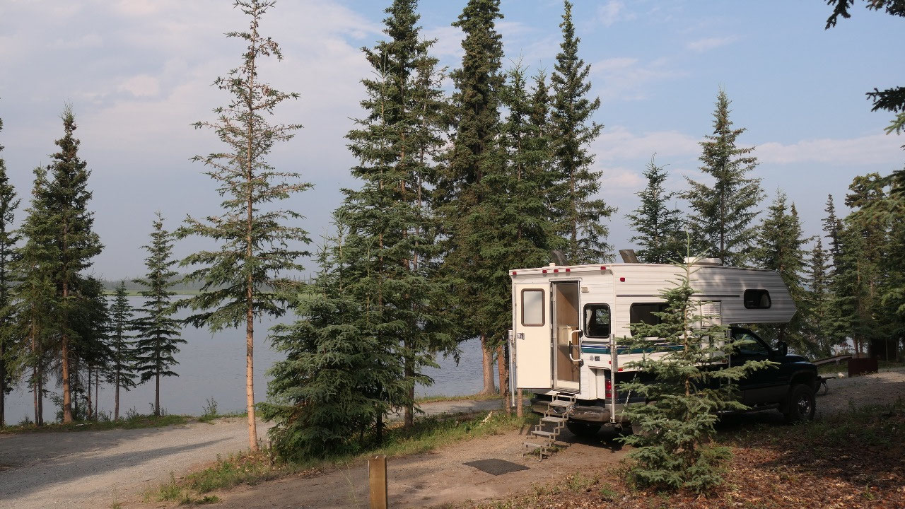
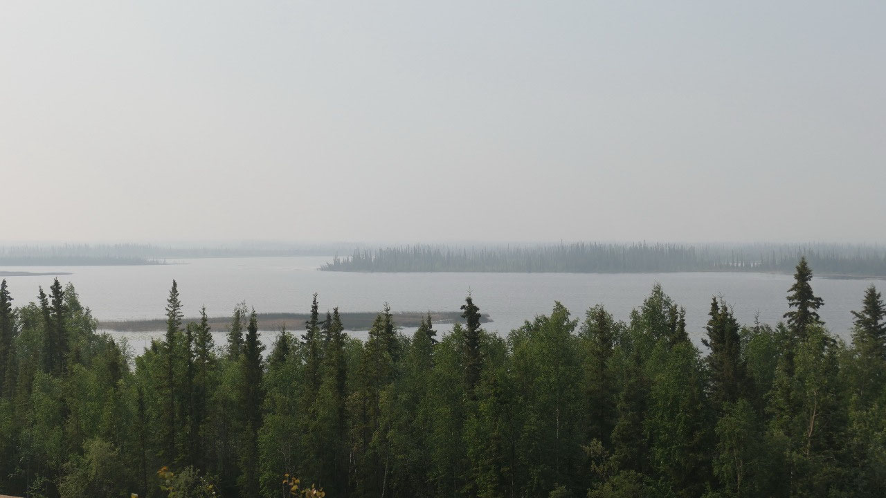
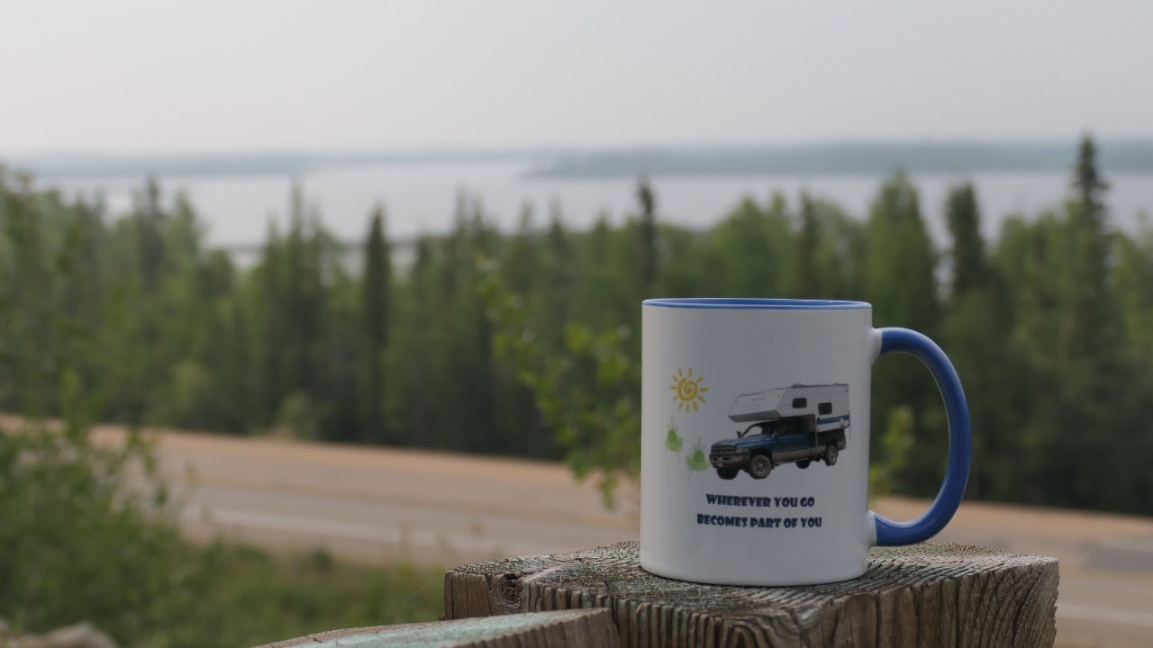
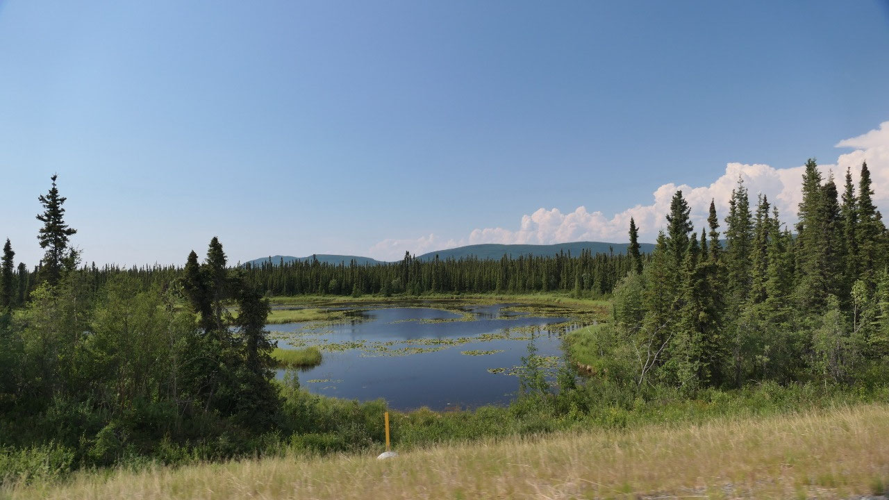
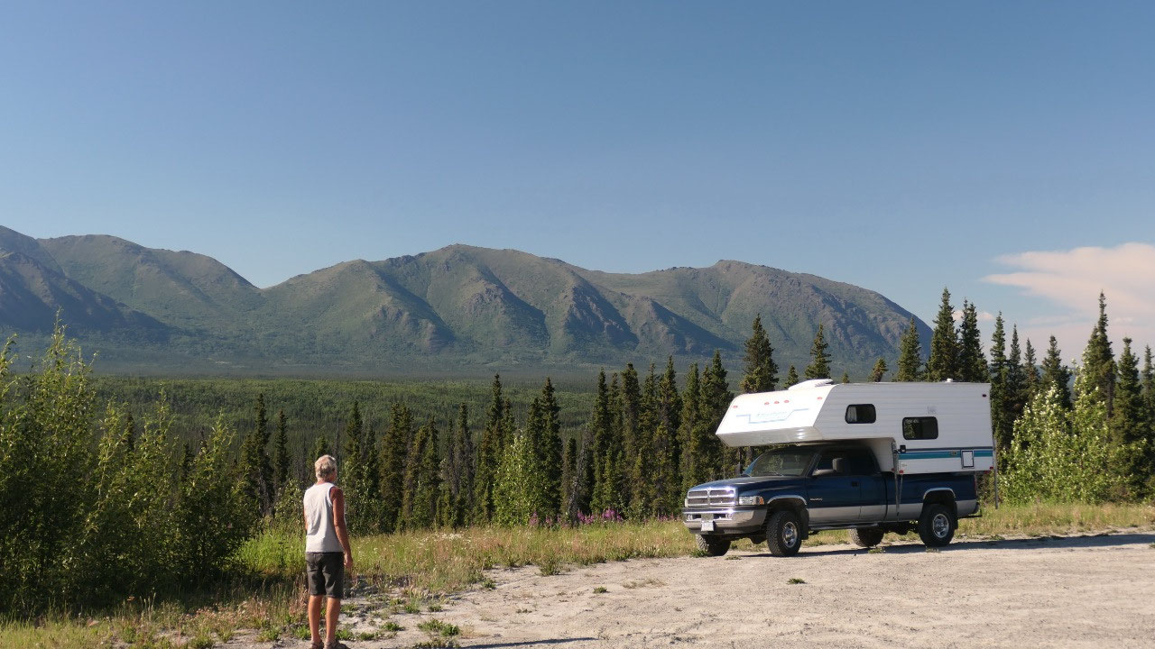
We choose Lakeview Campsite:
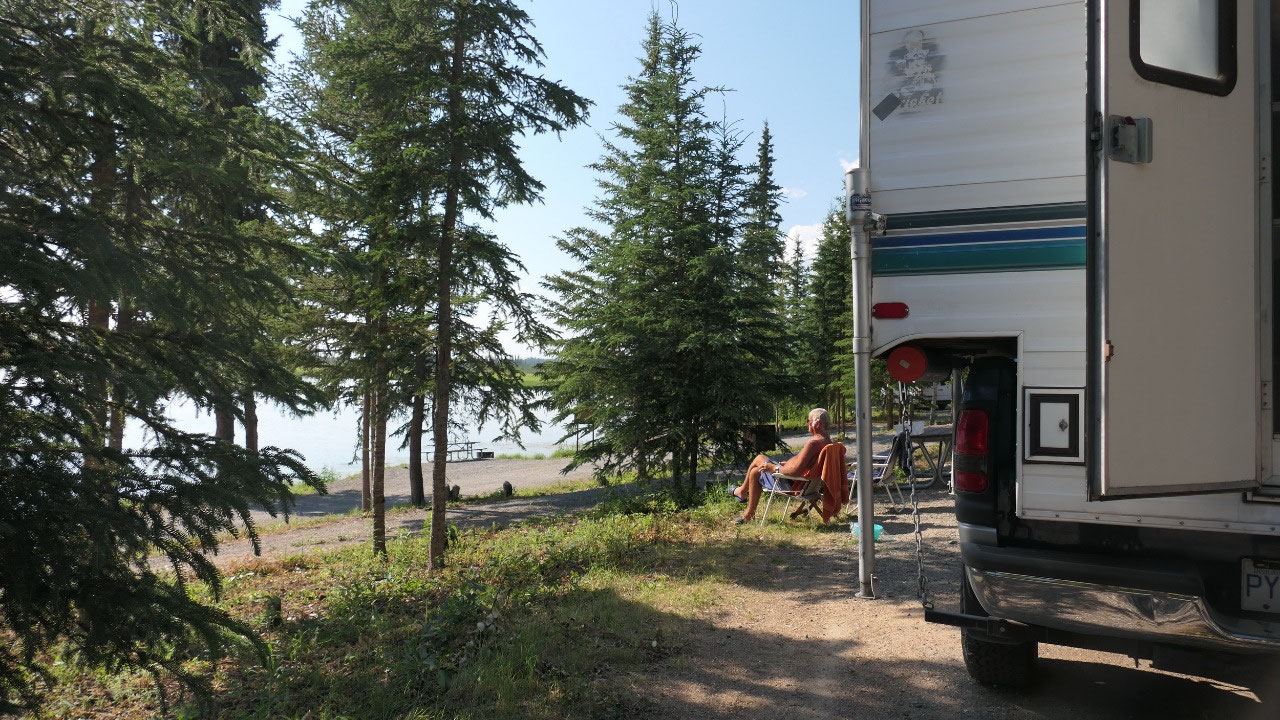
And next question is where to stay, we
should take a rest and relax a bit. We stop at the first Deadman Lake State
Park – but were not so impressed as the campsites were mostly in the forest –
sure you can have a free canoe – but we would like some views too. So, we
headed to the next one: and we loved it the views from nearly every spot are on
the lake and we pick a spot with a bit of shade as it is so hot
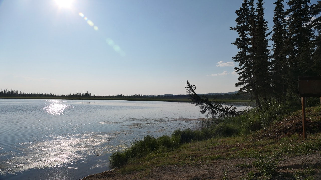
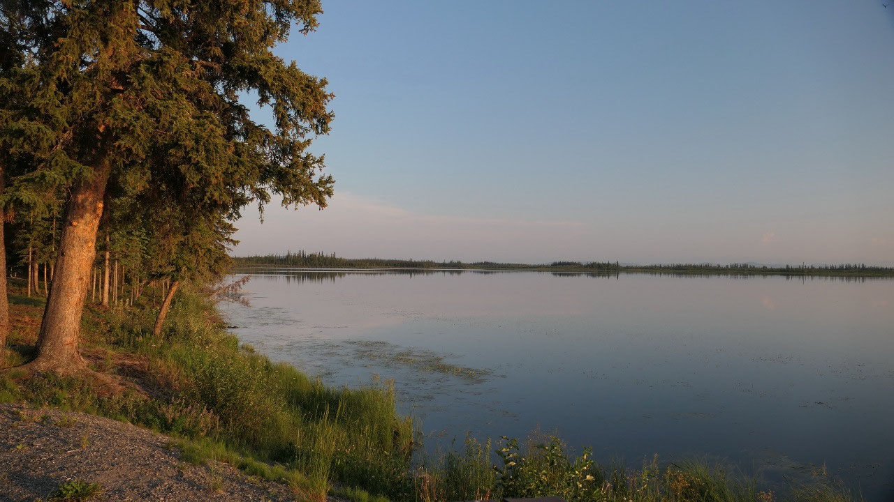
Shower at the campsite
And the first Thing Gine said she
wants to do is shower herself off – we are hot, we are tired, we haven’t had a
shower in a while: you don’t even need hot water – swim suits on and we wash
hair, Paul shaves and then shower or rinse ourselves off – now we are nice and
refreshed. The lake is super calm – not good enough for a swim (yes that’s why
we had a shower). It was so hot outside that we decided it’s easier to eat
inside, but then went outside afterwards because there it is a bit cooler. With
no wind it took a bit longer to cool down.
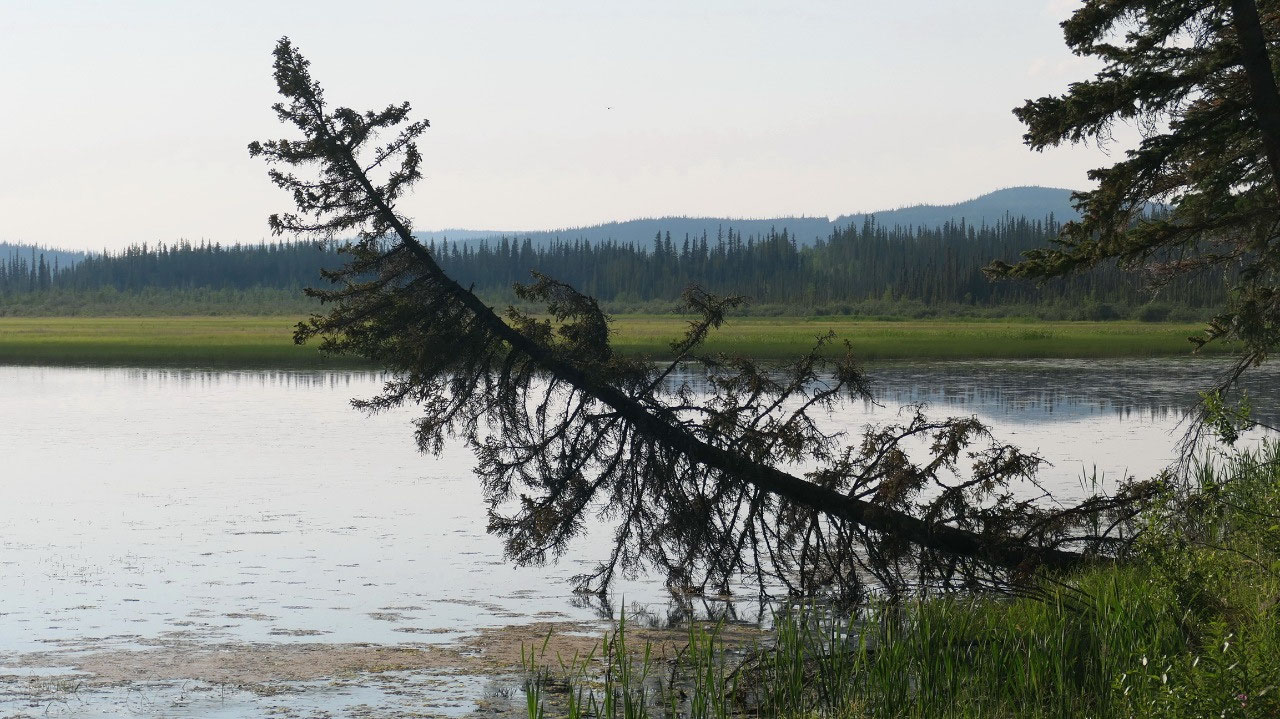
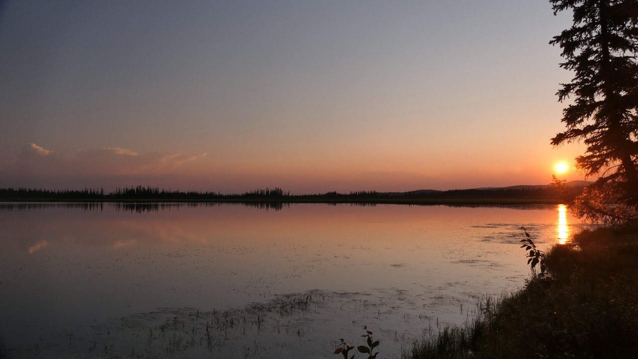
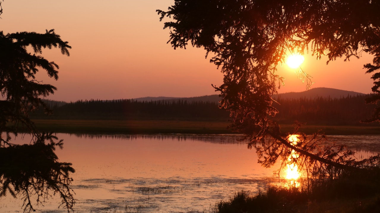
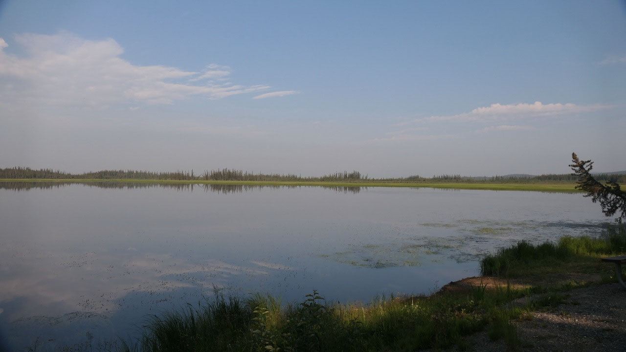
The calm
lake and the red sky – it is so gorgeous, so different from the mountains we
were before.
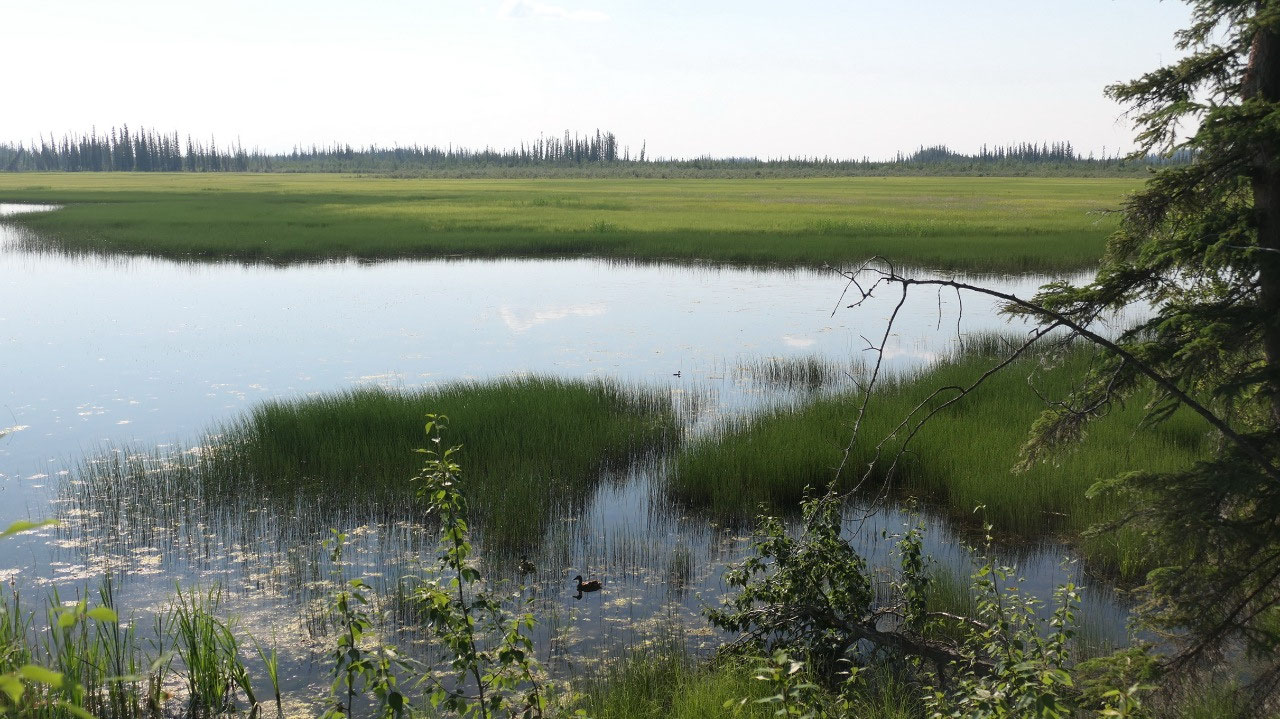
Let’s meet
our fellow campers
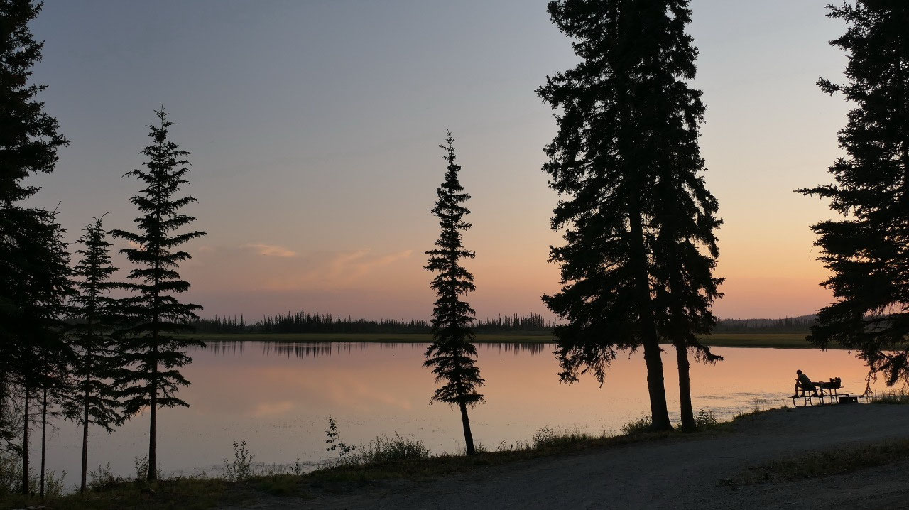
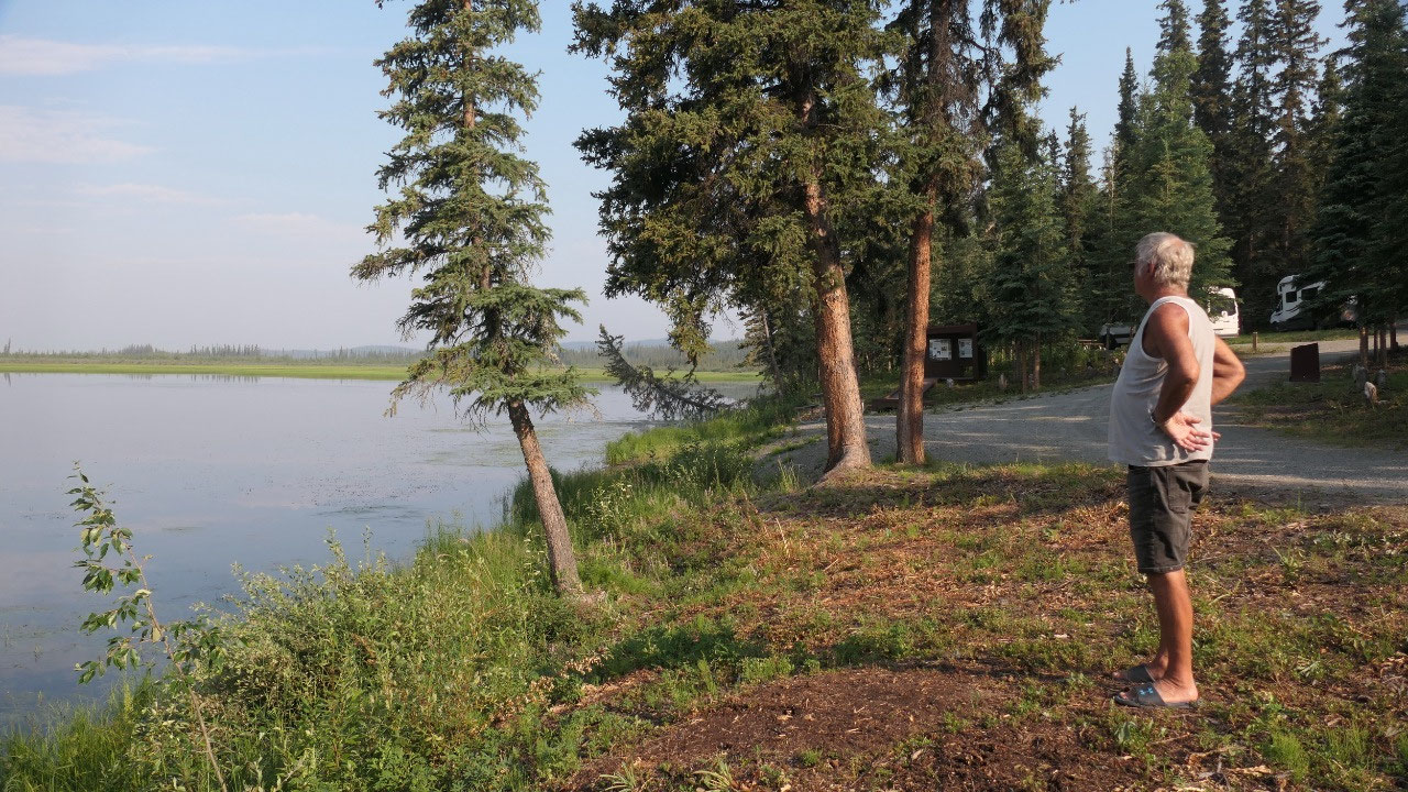
As Gine
went outside in the evening to look at the sunset over the lake she started talking
to our fellow campers – once done on the way back she meets one of the guys
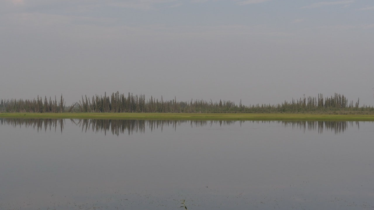
biking (yes with bicycles). In the morning we get up for coffee and as we
admire the lake mirroring the trees (I think we see also some smoke there) – we
start to talk to our fellow campers again. It is kind of cool to find fellow
travellers – with one couple we exchange email addresses in case we come to
Orange County.
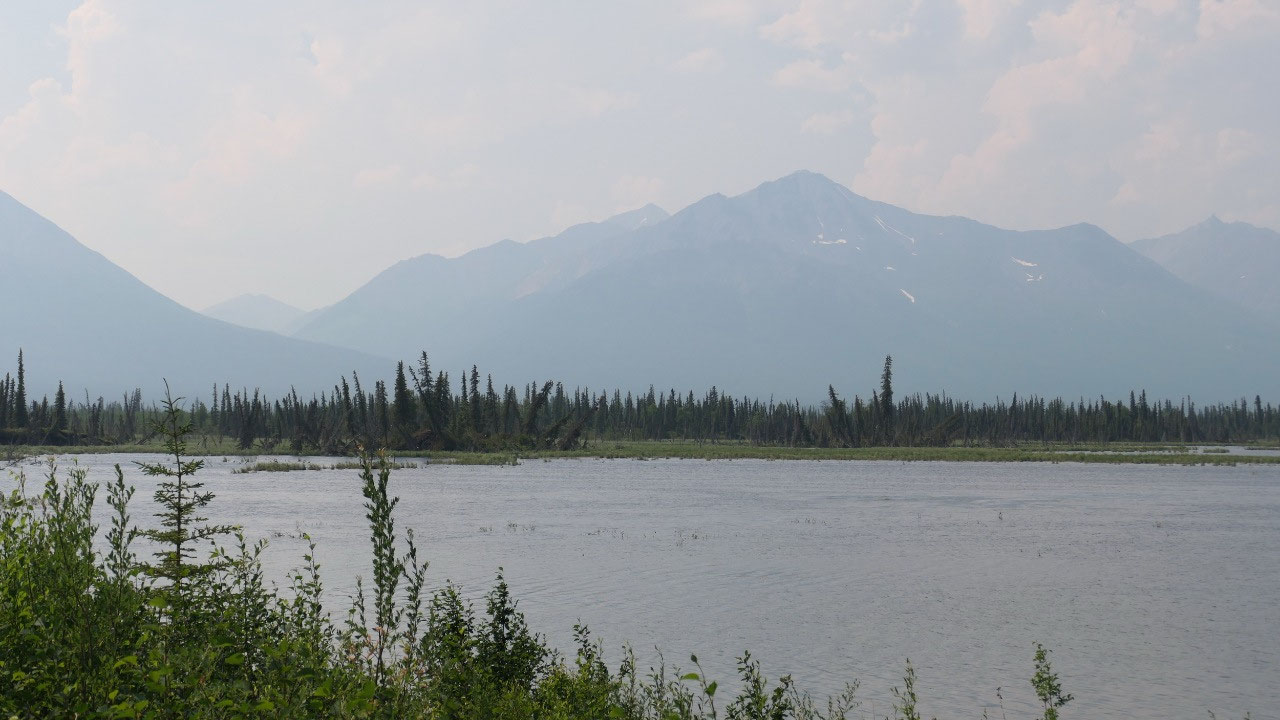
Smoke is
in the air
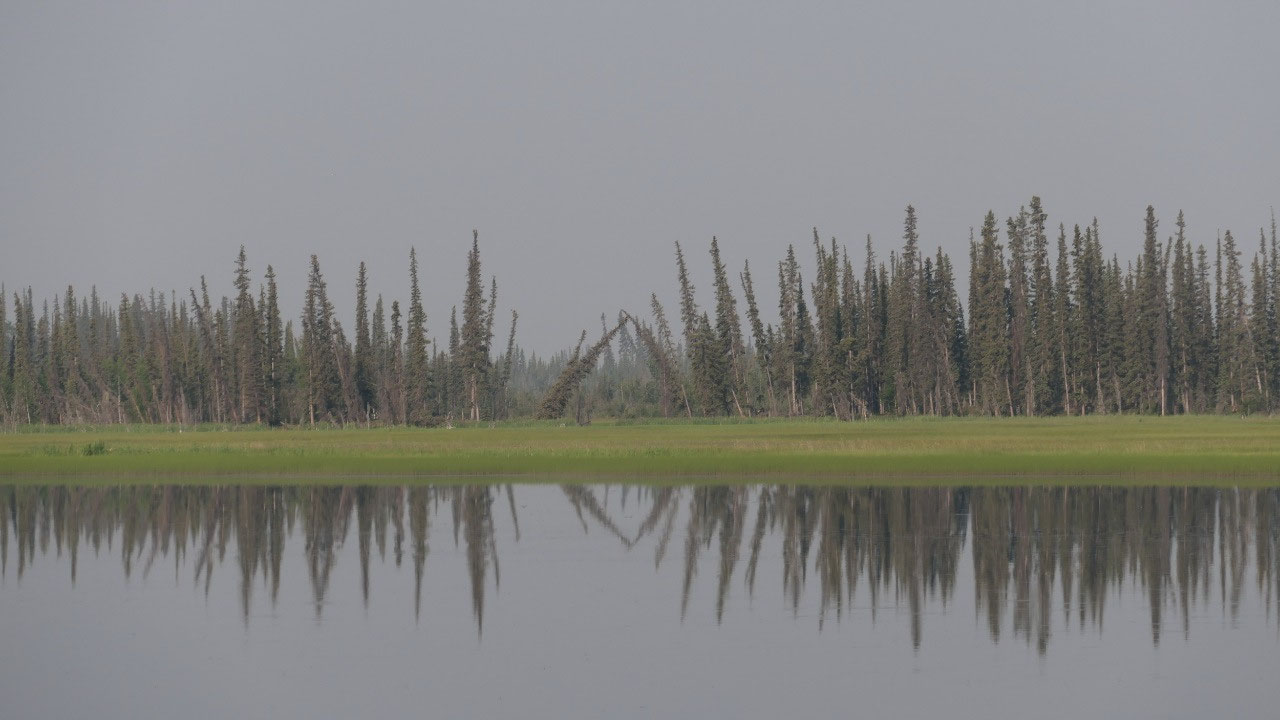
We heard
from our fellow travellers about all the fires in the interior of Alaska, so it’s
a good thing we are heading towards the south. We can see some of the smoke in
the air. We were way later than planned to leave (too much talking), but finally
we leave and are on the road, we did left after coffee and drove for a bit, so
that we can have breakfast with a beautiful view on the forested mountains and
some lakes and we can see that the smoke makes some haze in the air, by now can
also smell it. I may should mention all the way until Tok is one of the worst
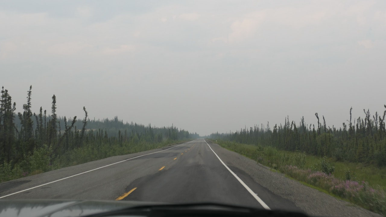
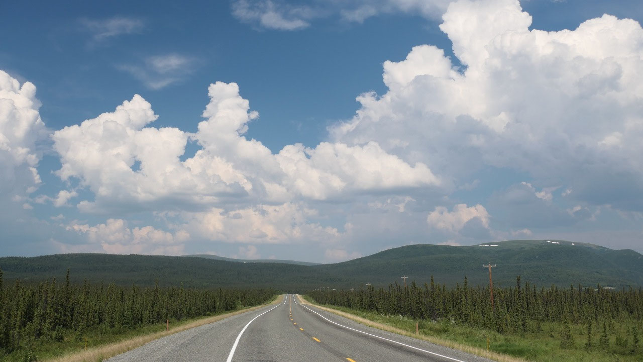
part of the highway with lots and lots of potholes!!!!
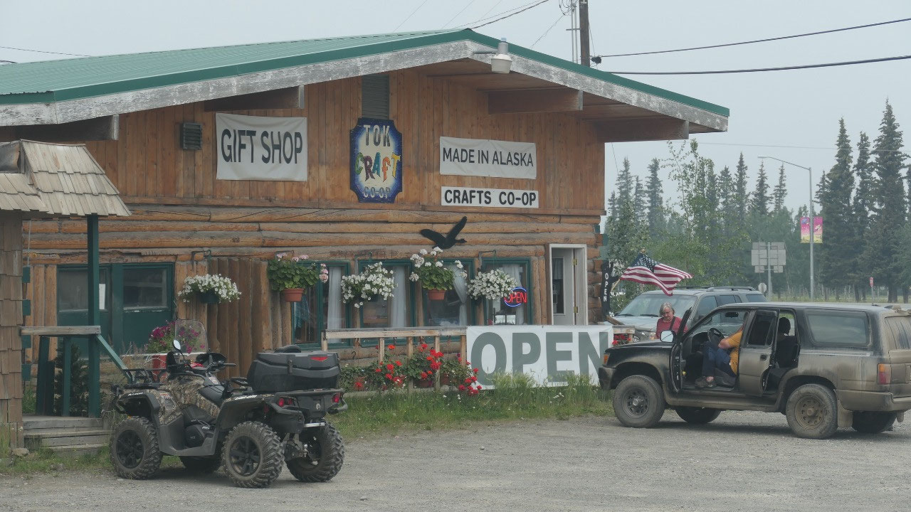
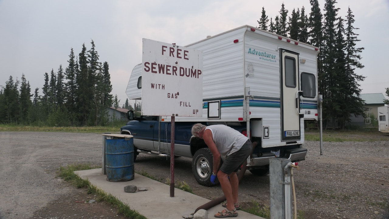
Tok: time
to get organized
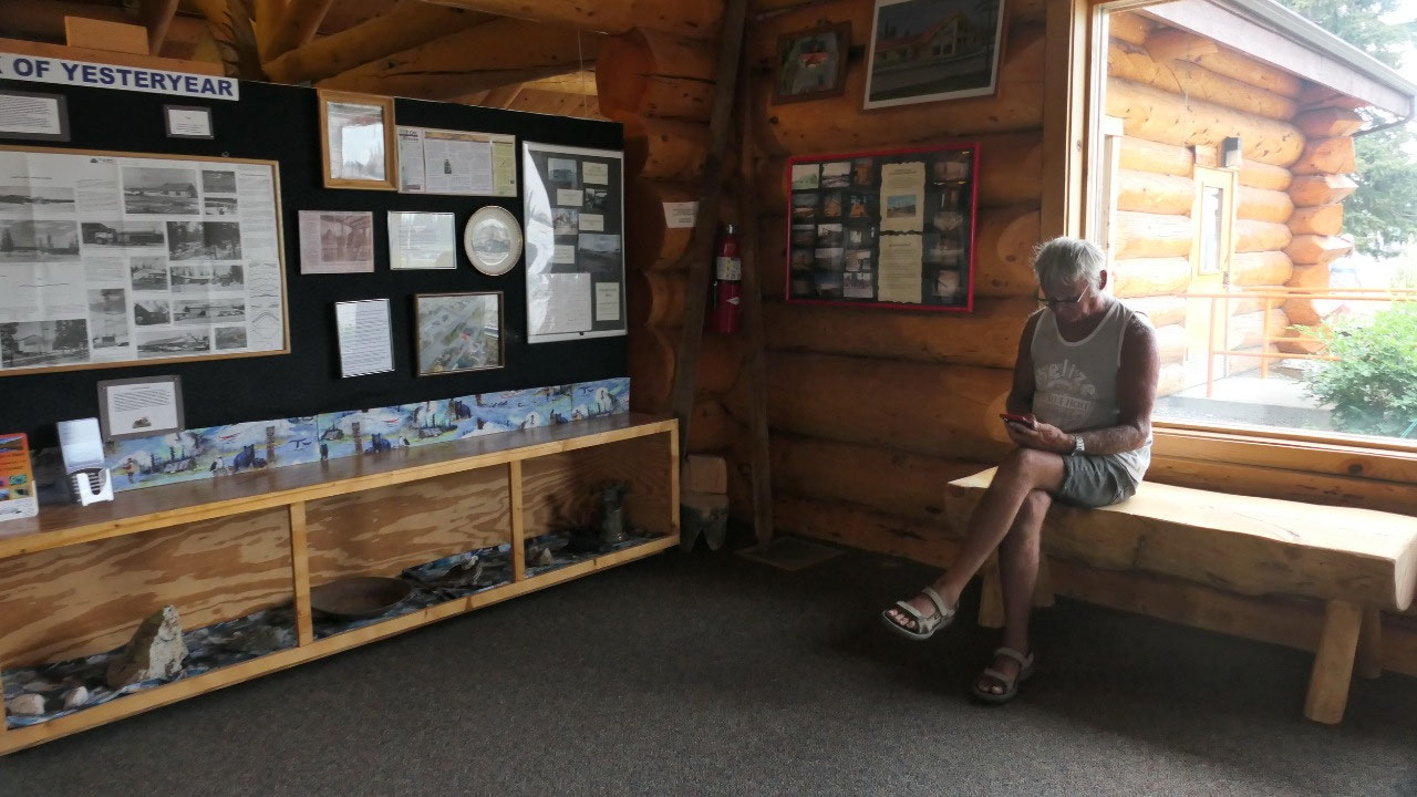
Once we
arrive in Tok normal RV organizing starts: filling up gas – dumping and
refilling water – shopping and yes, the visitor info: internet and checking
what is all going on – checking for the next part of the journey and bringing a
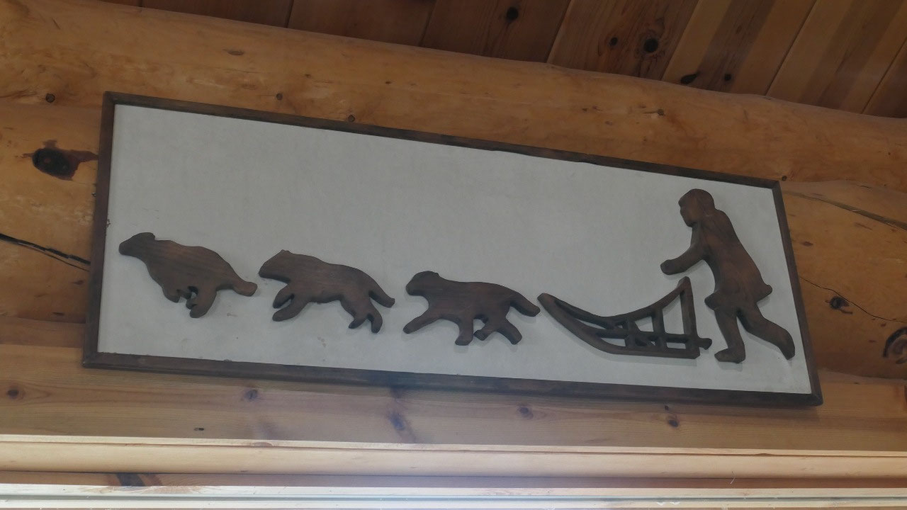
lot of papers with us, so we have plenty to read and get excited about and like
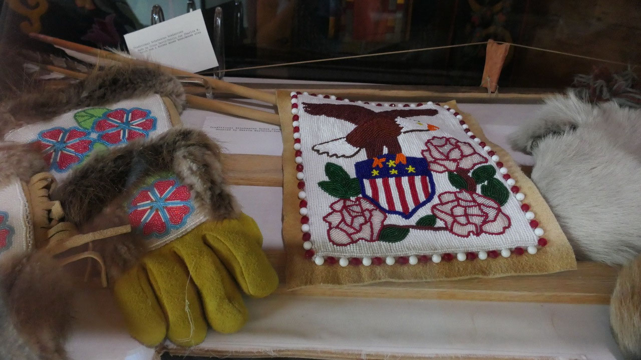
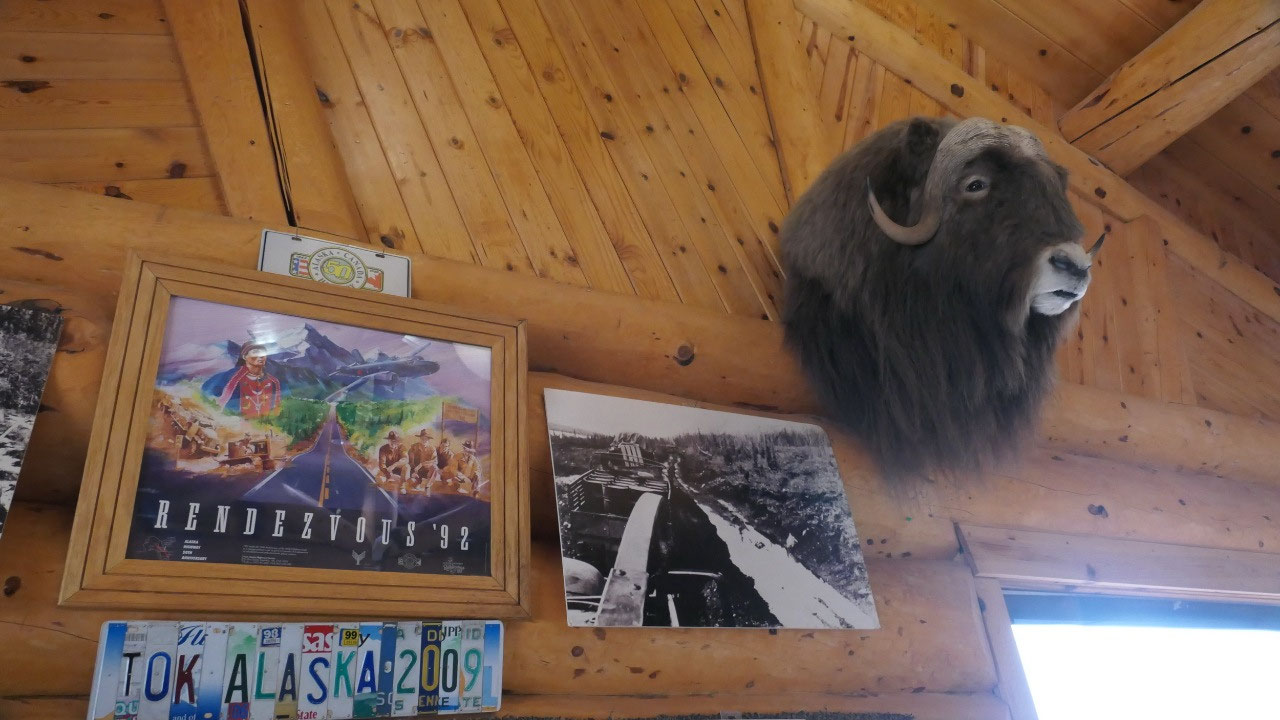
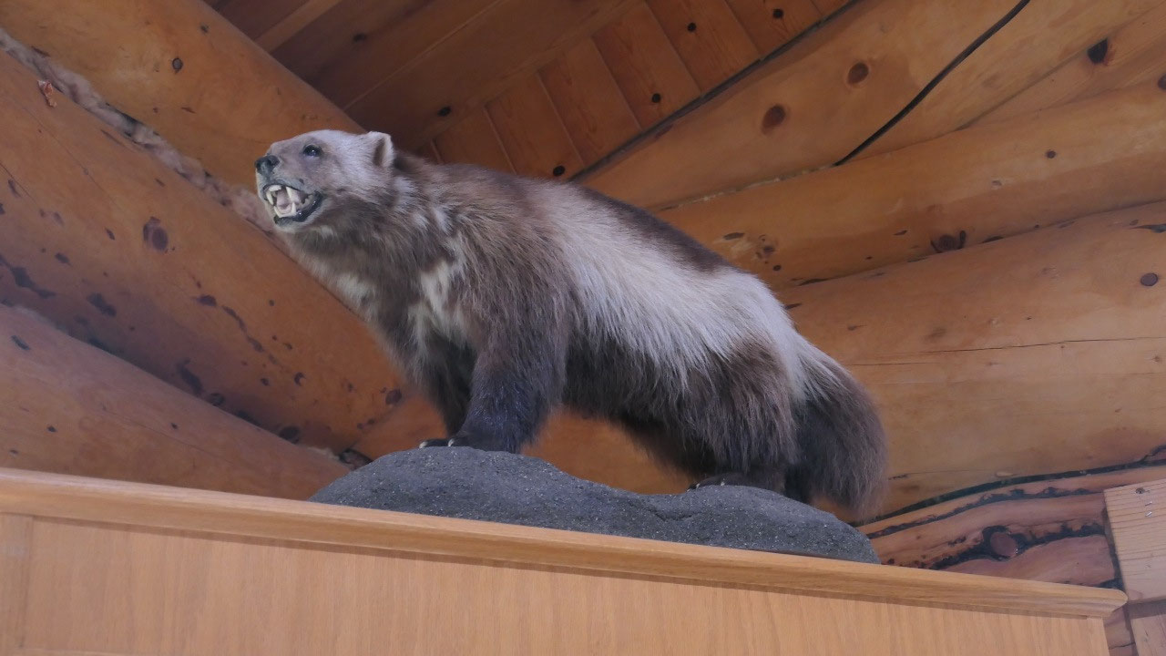
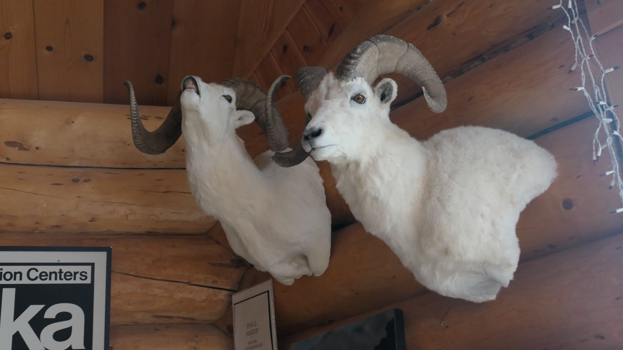
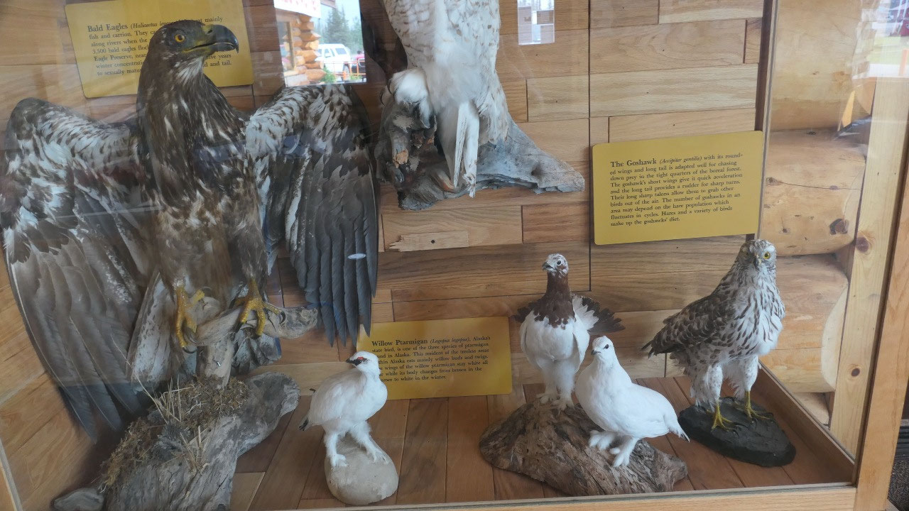
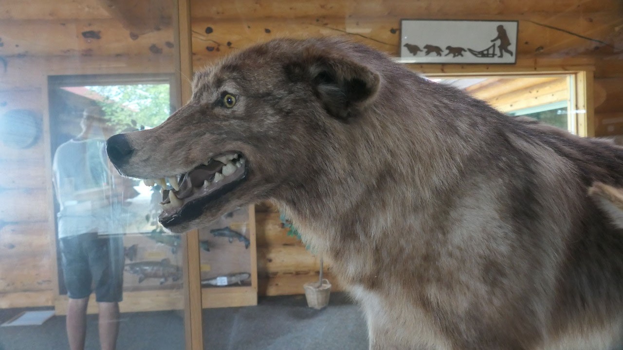
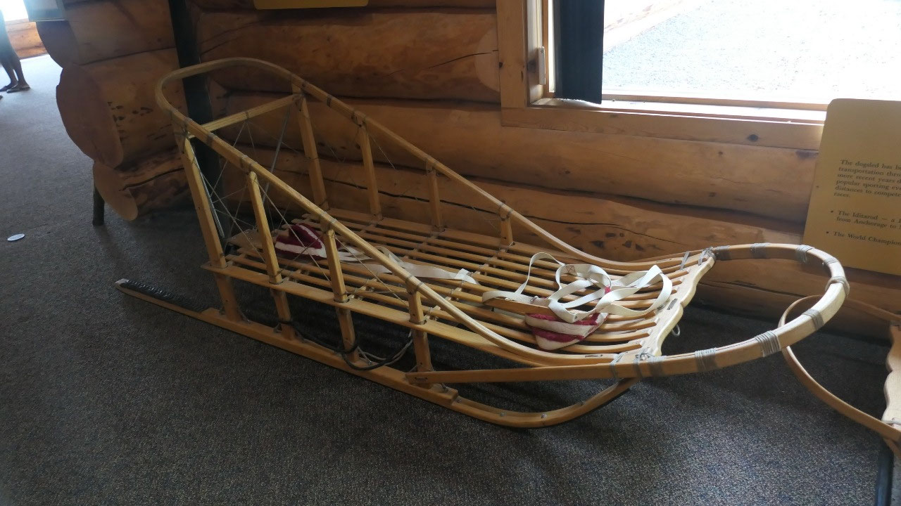
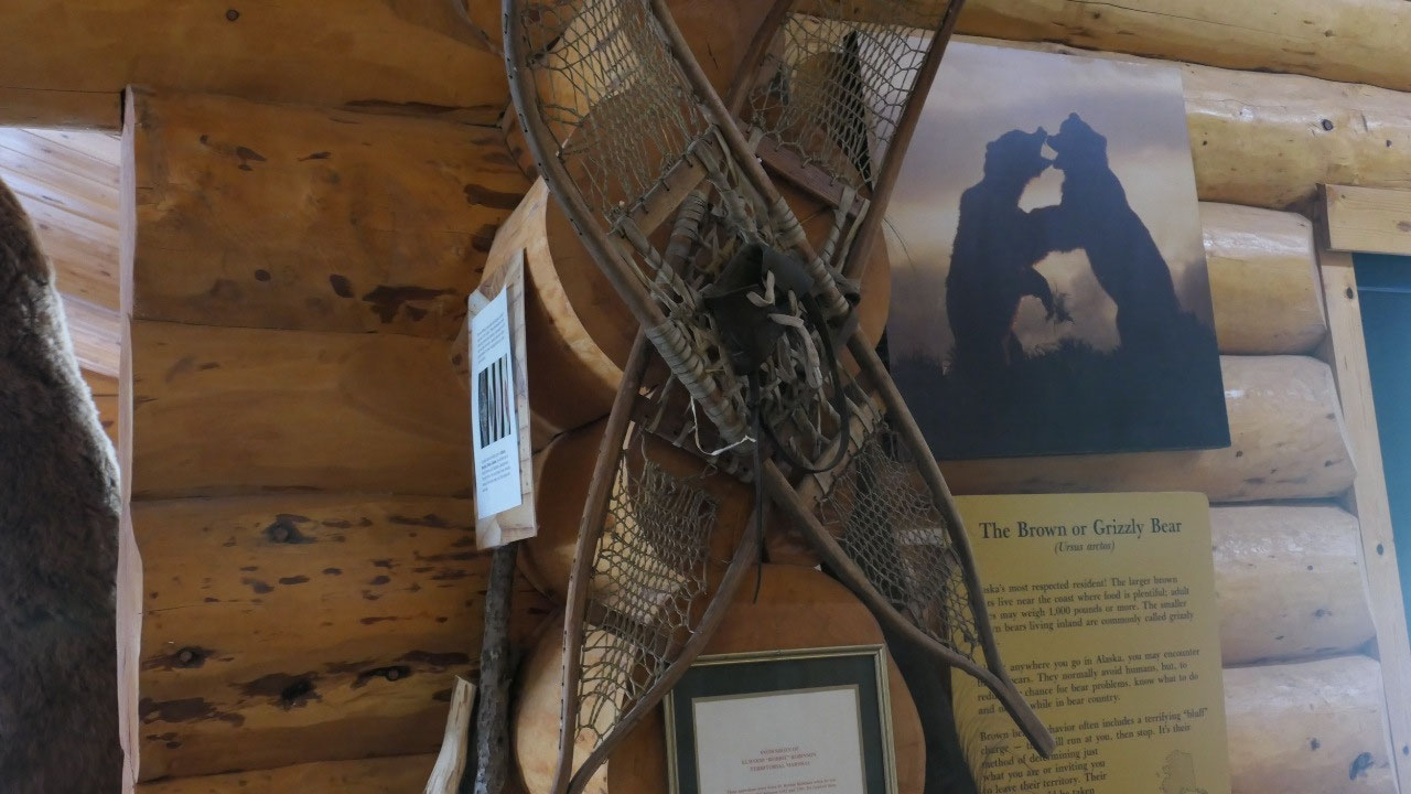
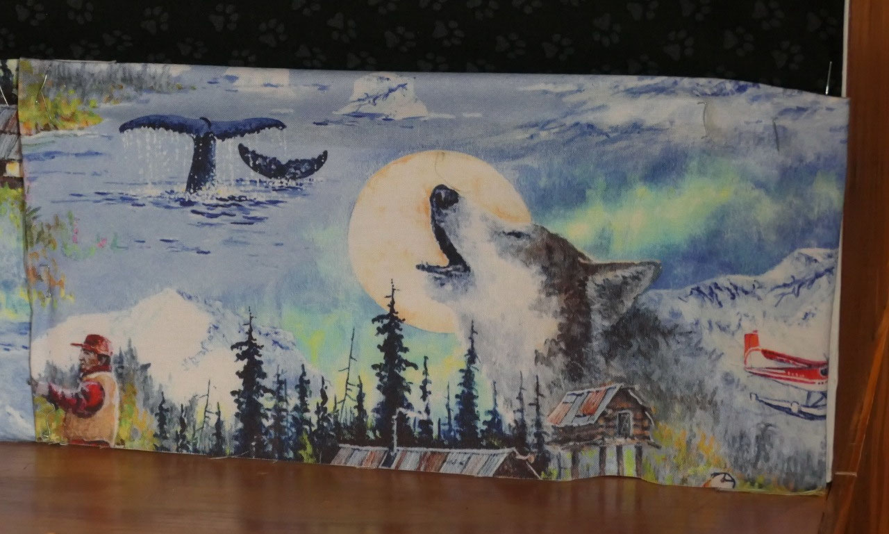
a lot of visitor infos in the north they are like a mini museum with lots of animals,
dogsleds, snow shoes (and like everywhere you can read about the different
bears and to be bear aware if we only could see one up north here!!) – but this
town is also:
- Is called the Gateway to Alaska, because it is the first major community (pop 1200 – yes really big!!) as you head in Alaska (and it was the last big town before we left Alaska again)
- It was one of the construction camps in 1942 and one of the largest one called “million dollar Camp” – because of the cost of equipment and in maintaining it
- For a long time, it was the location of the US custom until in 1971 when they moved it closer to the border
- There are a lot of ideas where the name came from, no-one really knows
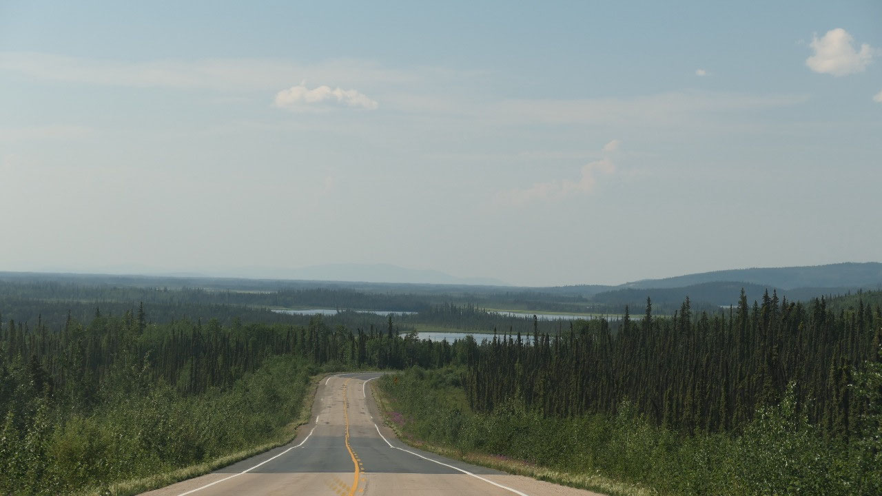
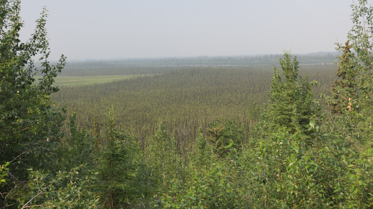
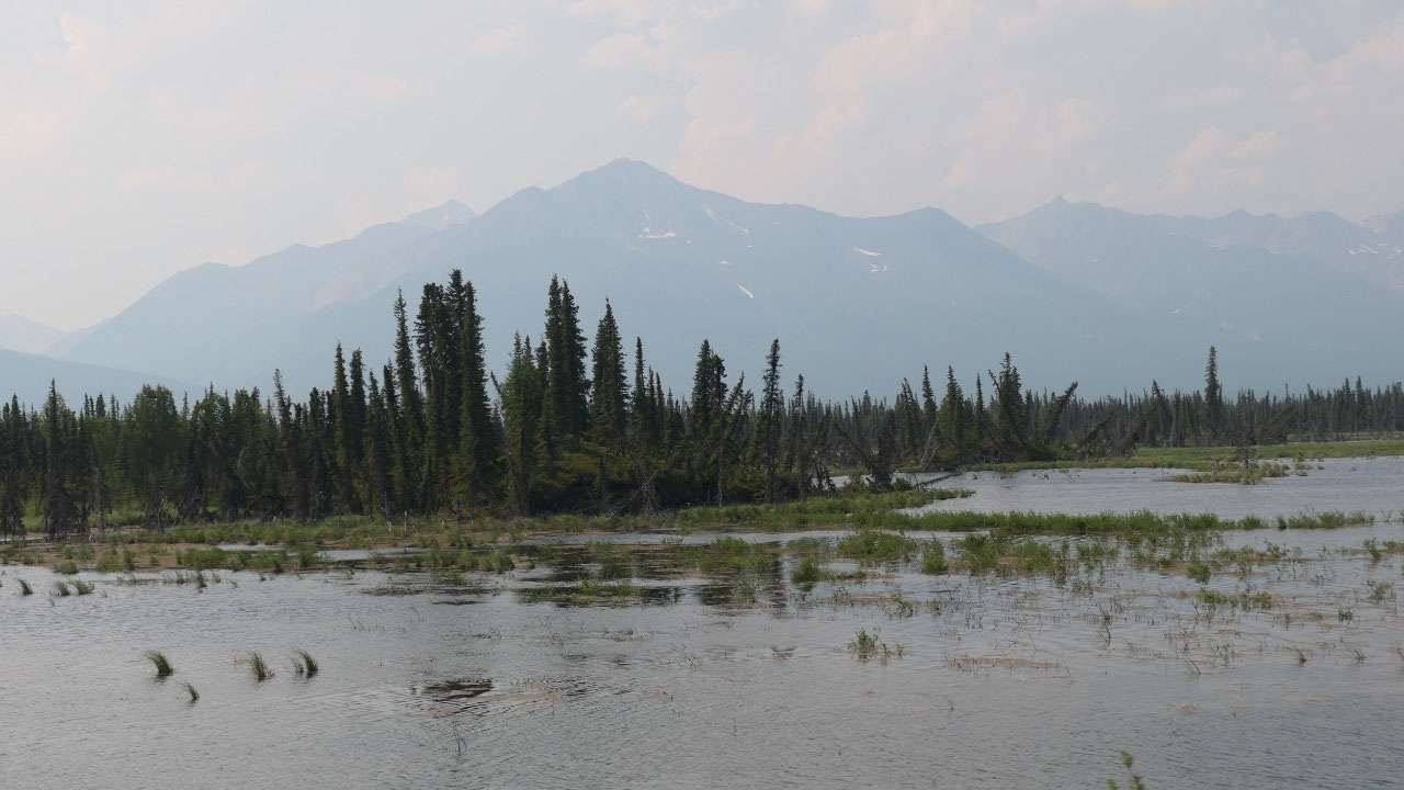
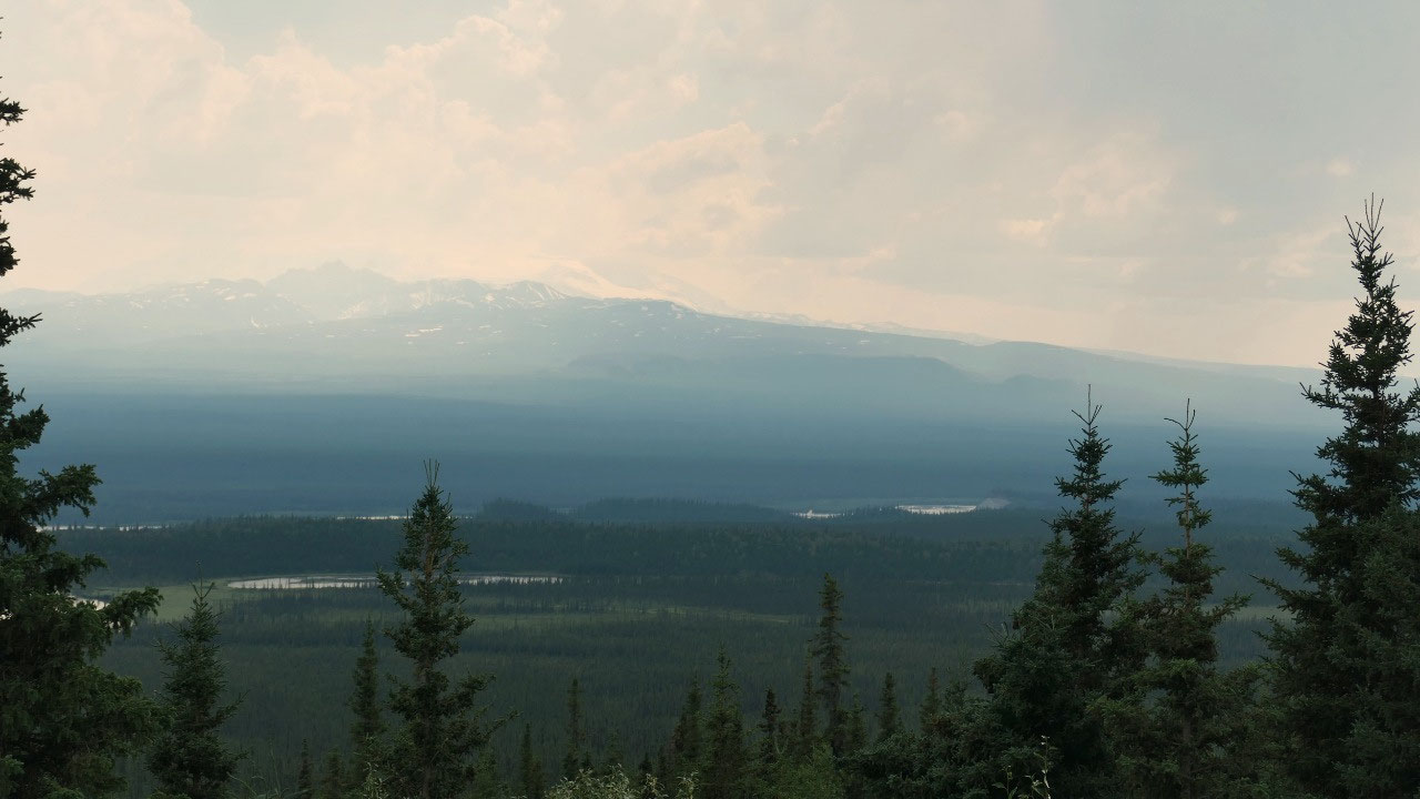
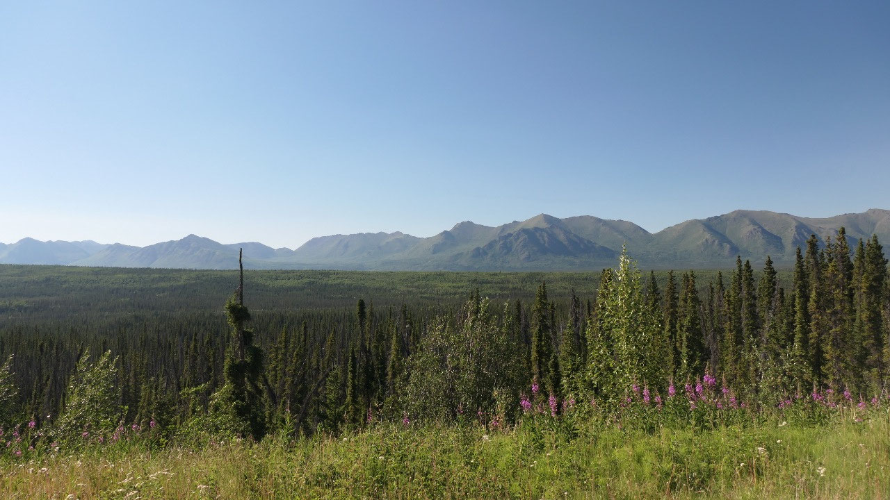
Smoke is
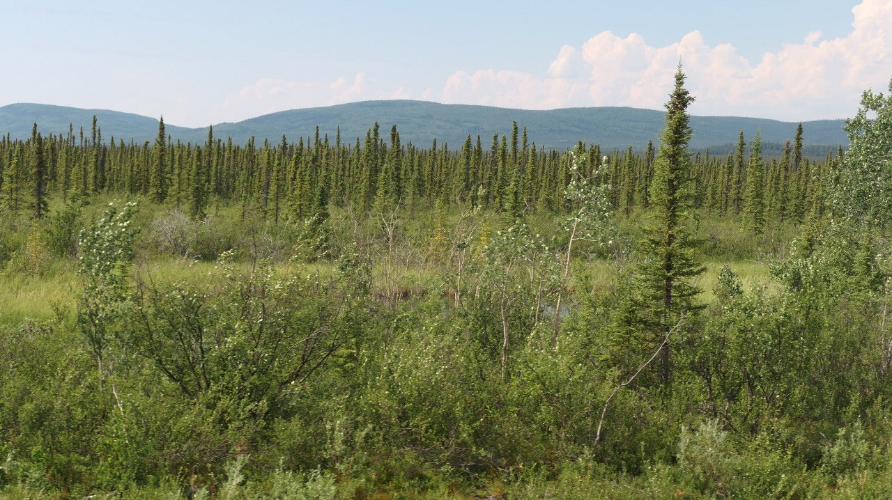
in the air – endless forest
As we head
on the tok- cut off (what a weird name for a road) – the view is limited due to
the smoke. But then the area is full of trees and more trees and fairly flat.
In the distance we can see hues of mountains – but not clearly. It looks cool
when you see the road vanishing in the smoke – looking up the rivers with smoke.
I may
should mention what I think is super cool, here all the highway signs have the
big dipper on them so you know you are in Alaska (in case you wouldn’t be
aware).
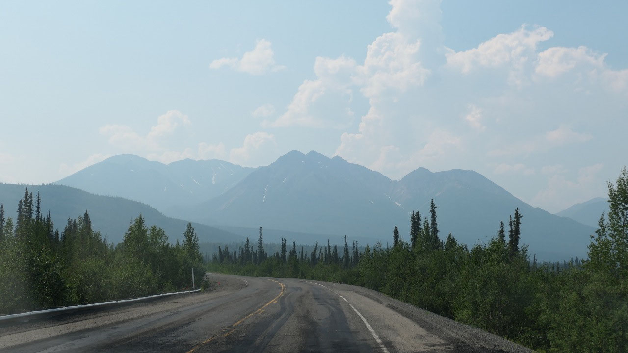
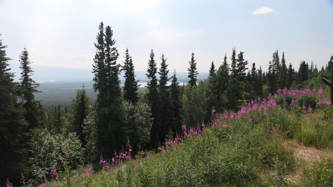
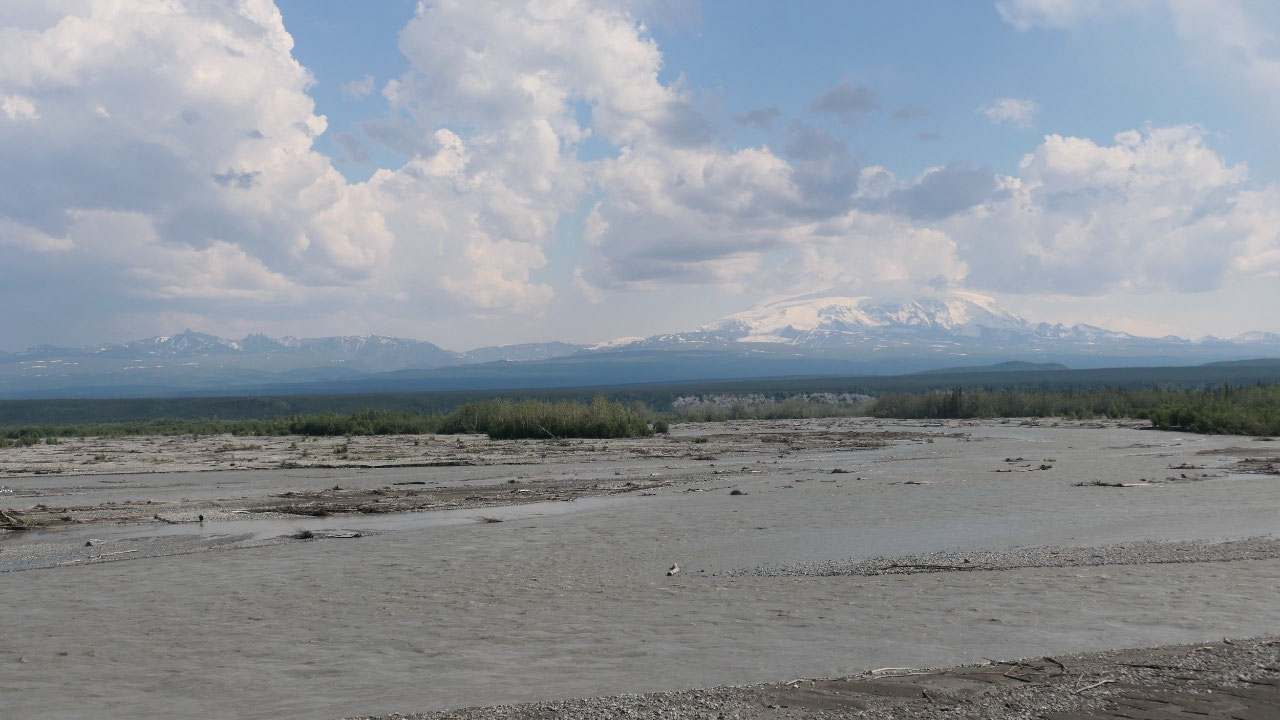
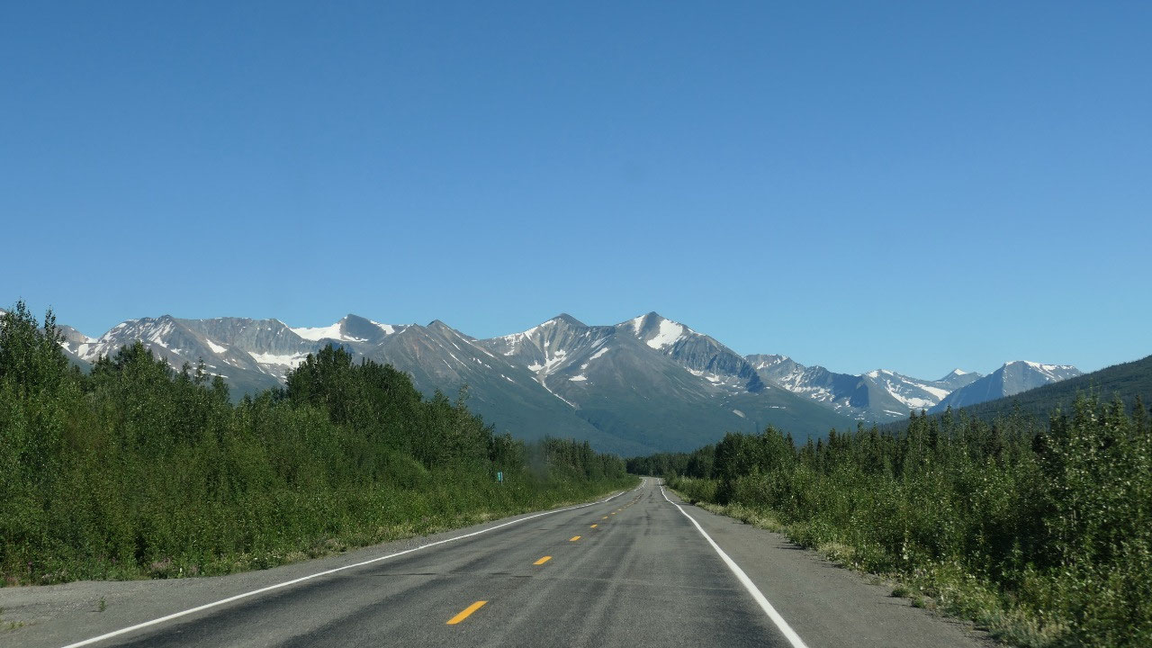
As we head
further south the smoke slowly gets less and less and the blue sky appears: we
stop at a cool lake with lots of little islands of trees (yes those skinny trees
and a lot of them are crooked). Once we stop at a viewpoint and see besides the
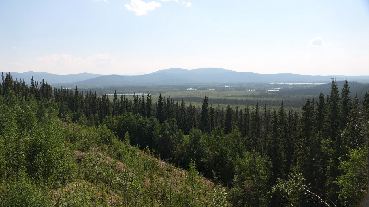
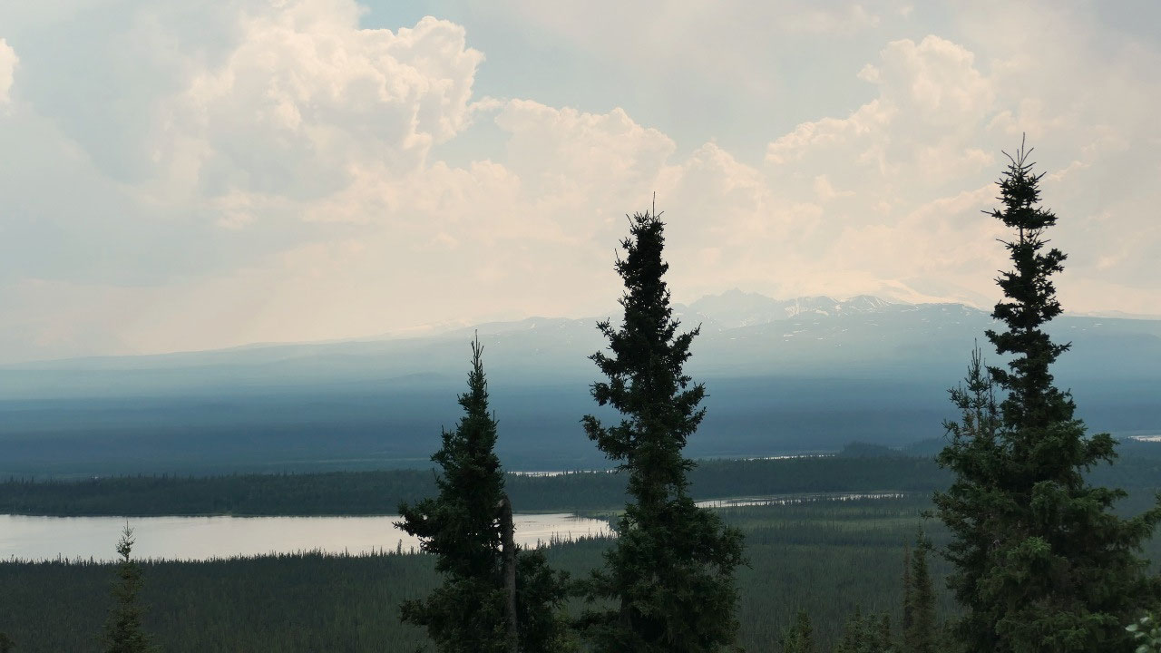
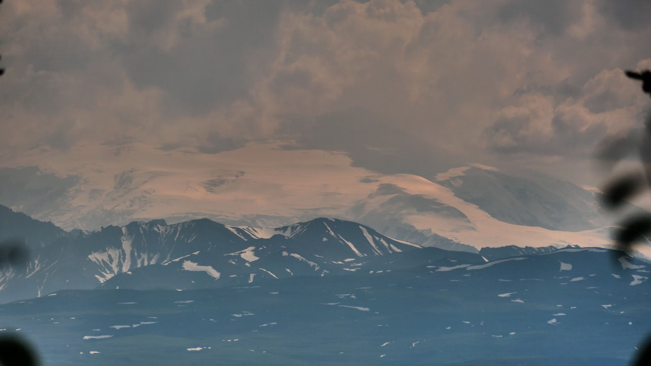
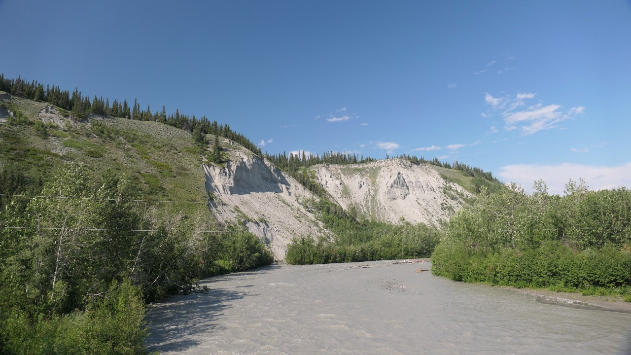
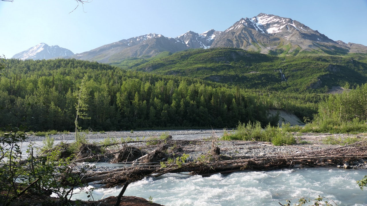
flower of the Yukon: yes, it’s the fireweed – the huge valley and the mountains
and glaciers of the St. Elias-Wrangell barely in the back. And as always we can
learn a lot about the history of the land – it is always interesting to read
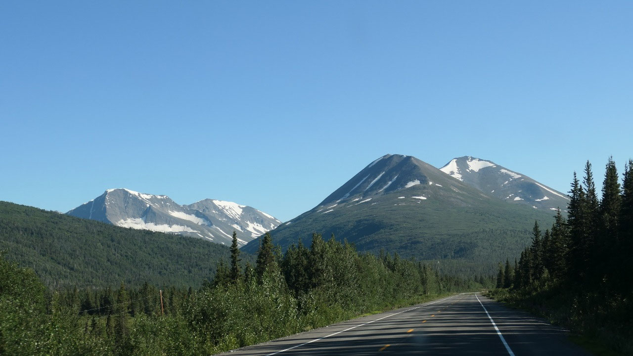
what some people did and we think that we do a big journey.
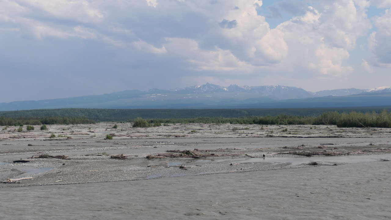
- Lieutenant Henry Allen: in 5 month his expedition crossed 1500 miles of unexplored territory also through this valley. He was one of many Army expeditions to map the interior of Alaska which started in the 1880s. They were three starting out at Cooper River between breaking up ice and torrents. Where we are standing now they came by two months after they left and then they went up the Tanana River at one time they parted: Allan and Ficket went up the Yukon and Koyukuk River as where Robertson went all the way to the Bering Sea
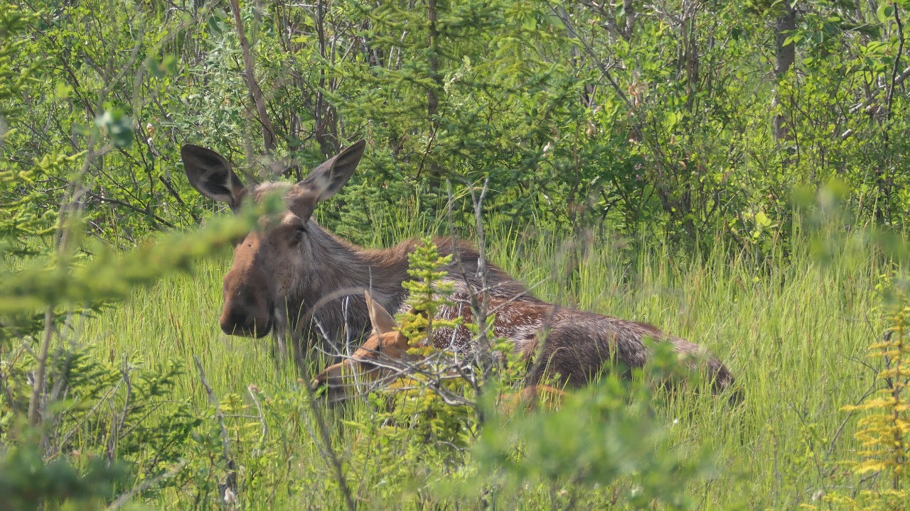
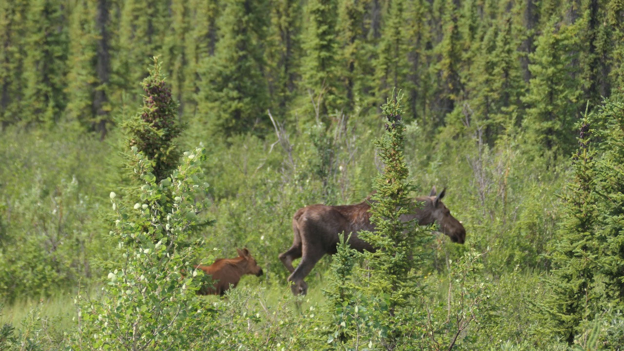
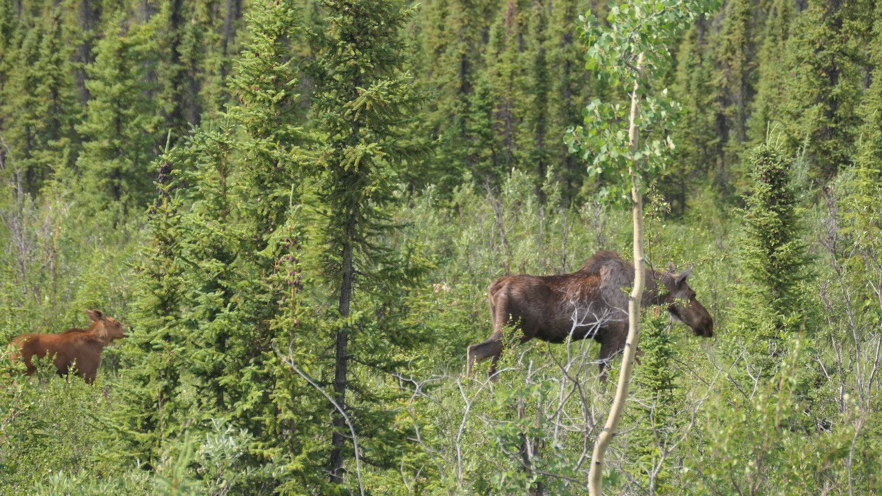
The Moose
& her Baby
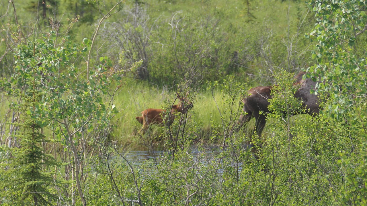
Finally:
we are out in the blue sky and then Gine yells: Paul there is a Moose with a
baby – Paul turns around and we already thought we spooked them and they are
gone, when we see them on the ground sitting: we go out and watch them, when
they go up and start walking along the road through one of the little ponds –
it was so cool. And the Moose is super big. Totally excited we continue on and
look more on the side of the roads – but still always look also at the
mountains. I may should mention that as per Gine Paul drives to fast there is
too much to see and as per Paul we do fine and we see so much and we can’t stop
every 2 minutes.
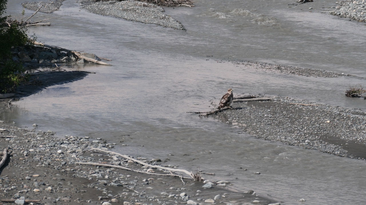
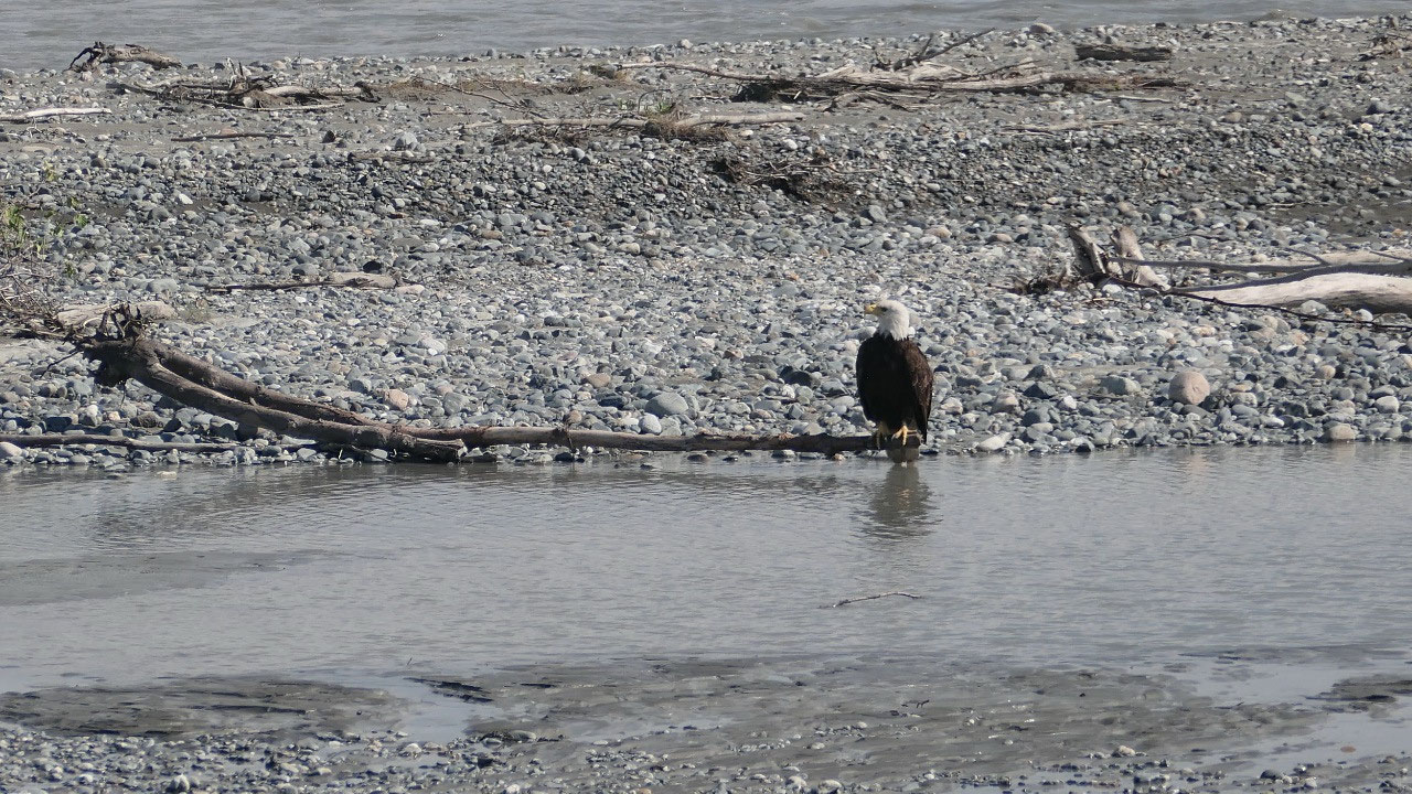
Eagles in
the River
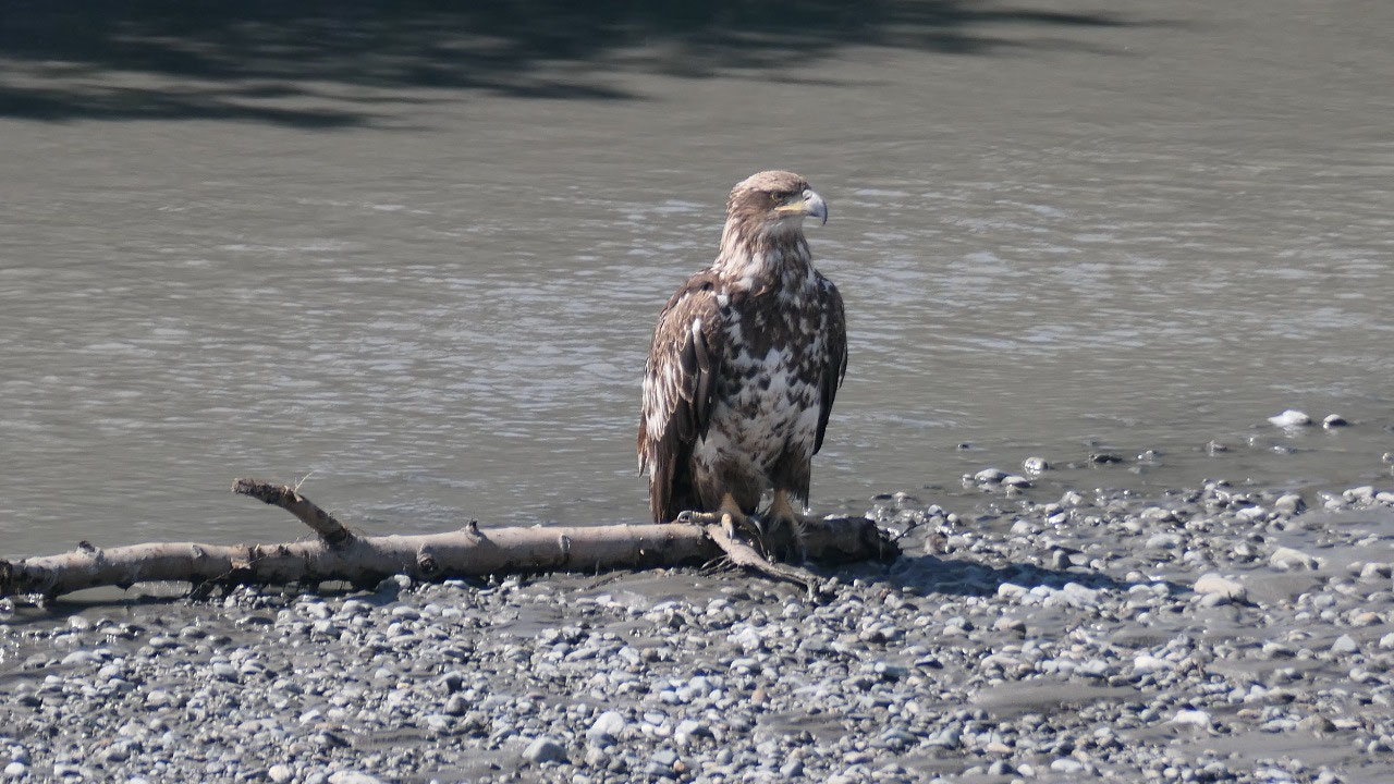
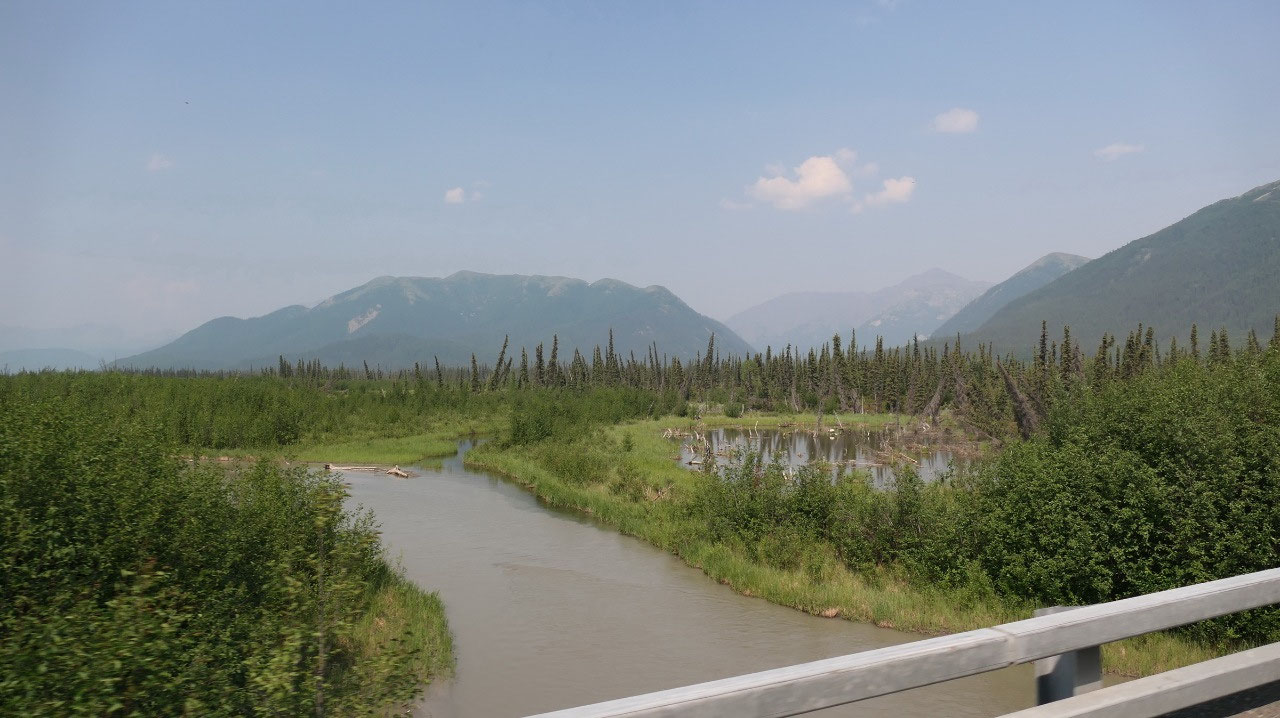
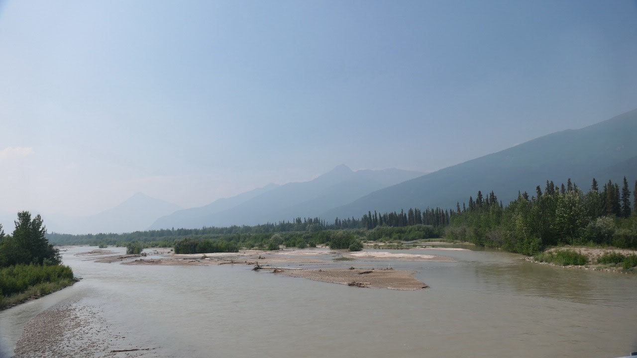
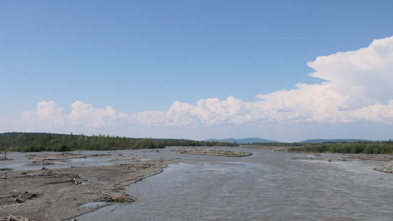
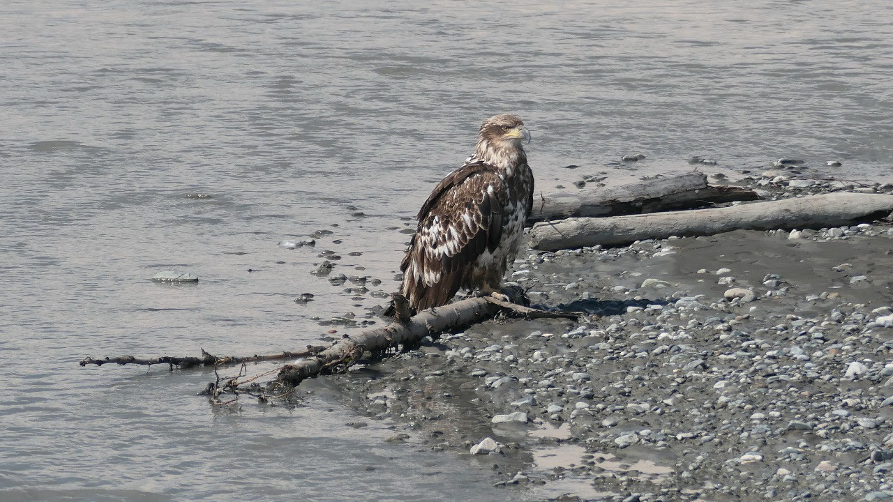
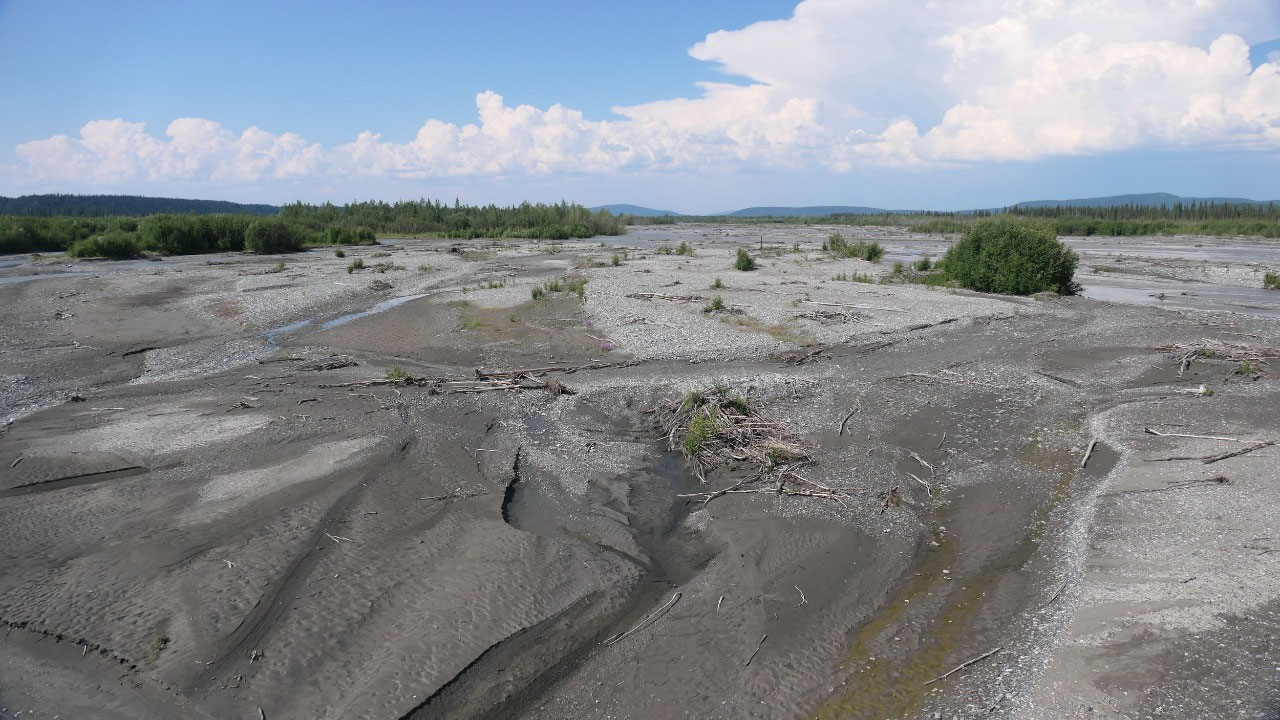
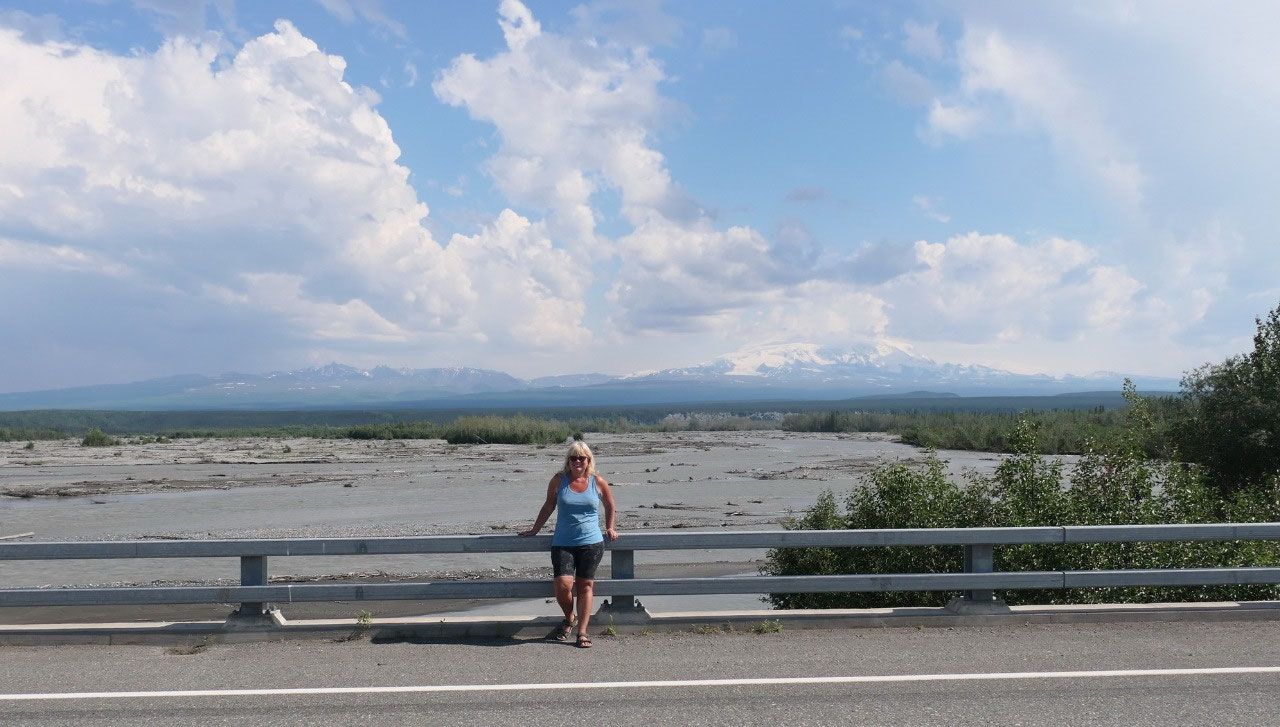
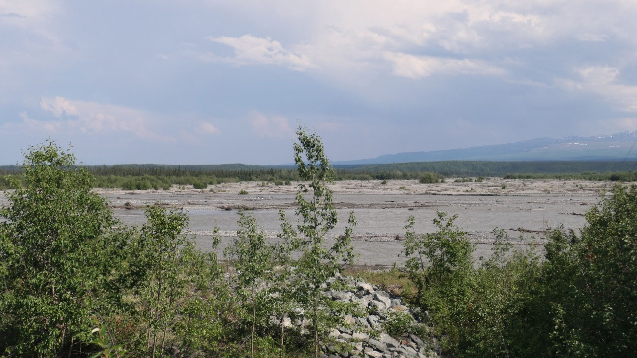
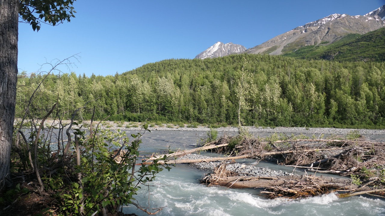
As we
cross the Chitochina river – which looks super cool Paul said there is an
eagle. We stop and walk back to watch the eagles (male and females) in the
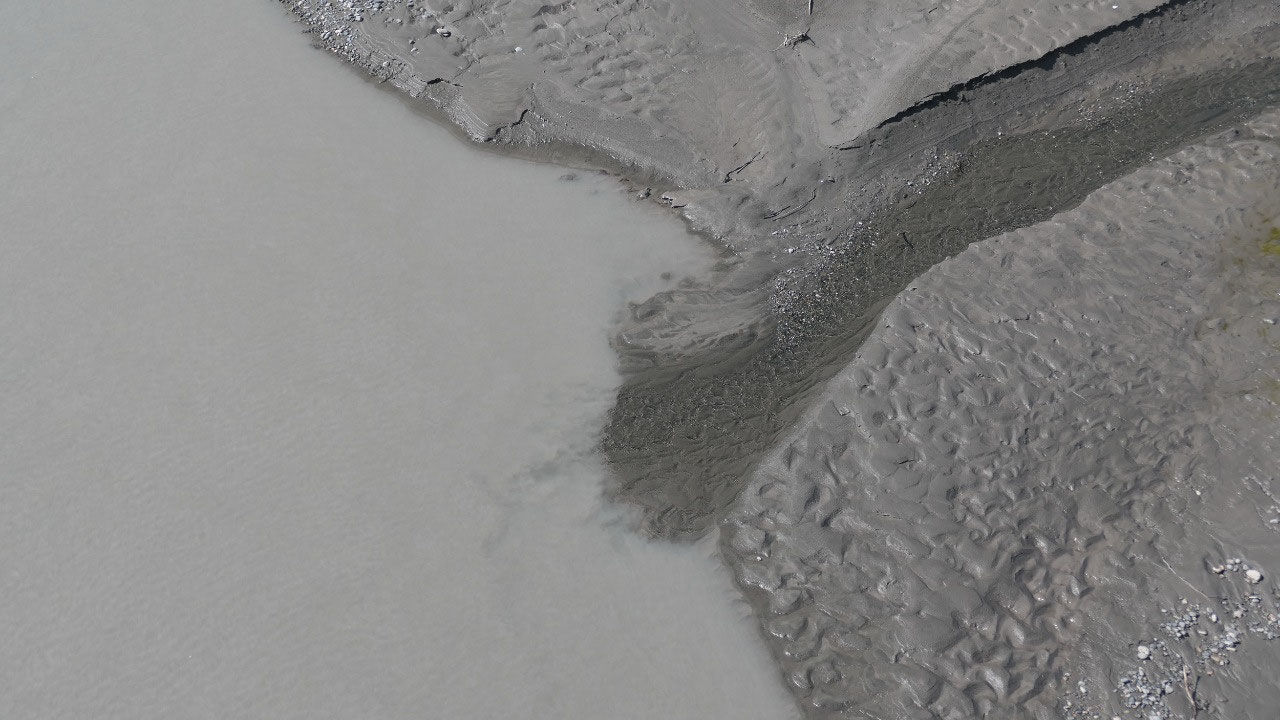
beautiful Alaskan River – did I mention that I love those wide river beds.
Driving
until supper
We are a
bit undecided on where to stay tonight as we don’t really want to pay and we
haven’t really found the perfect spot on the IOverlander. We stop at the first
suggestion and find it is to paved and not inviting to spend some time here.
Paul said we drive until 7 pm and have supper and then it’s soon time to bed.
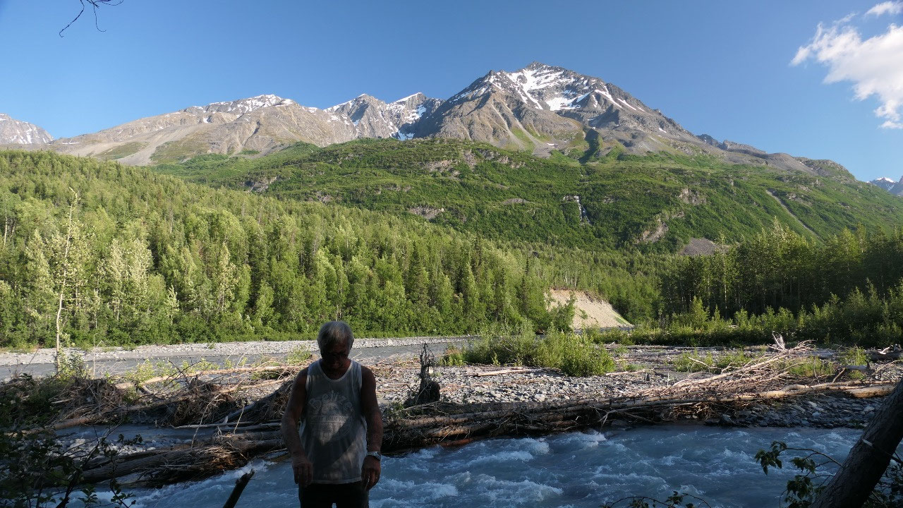
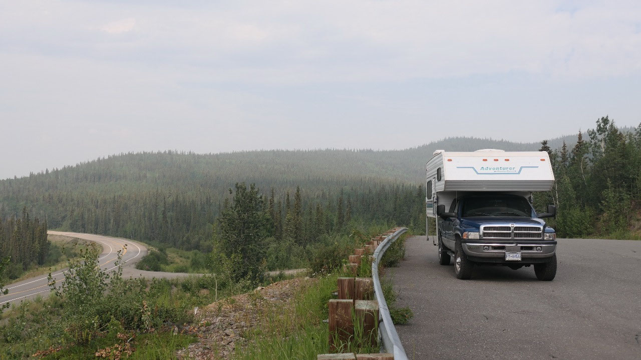
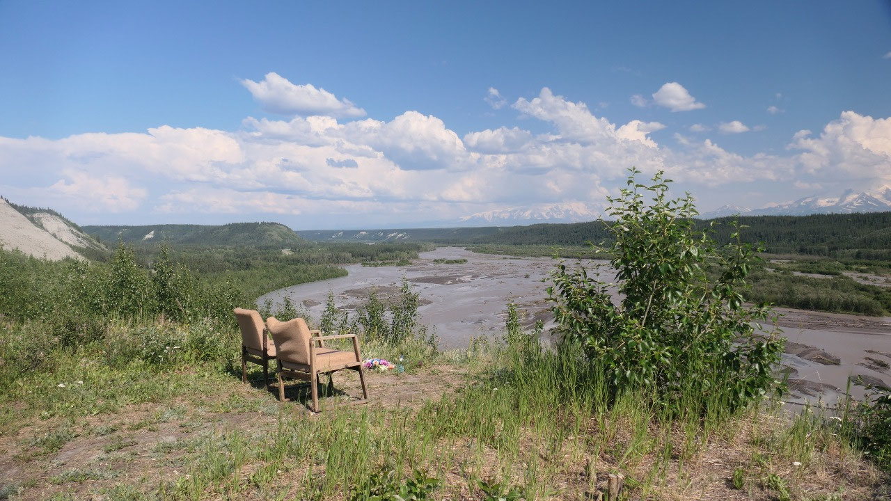
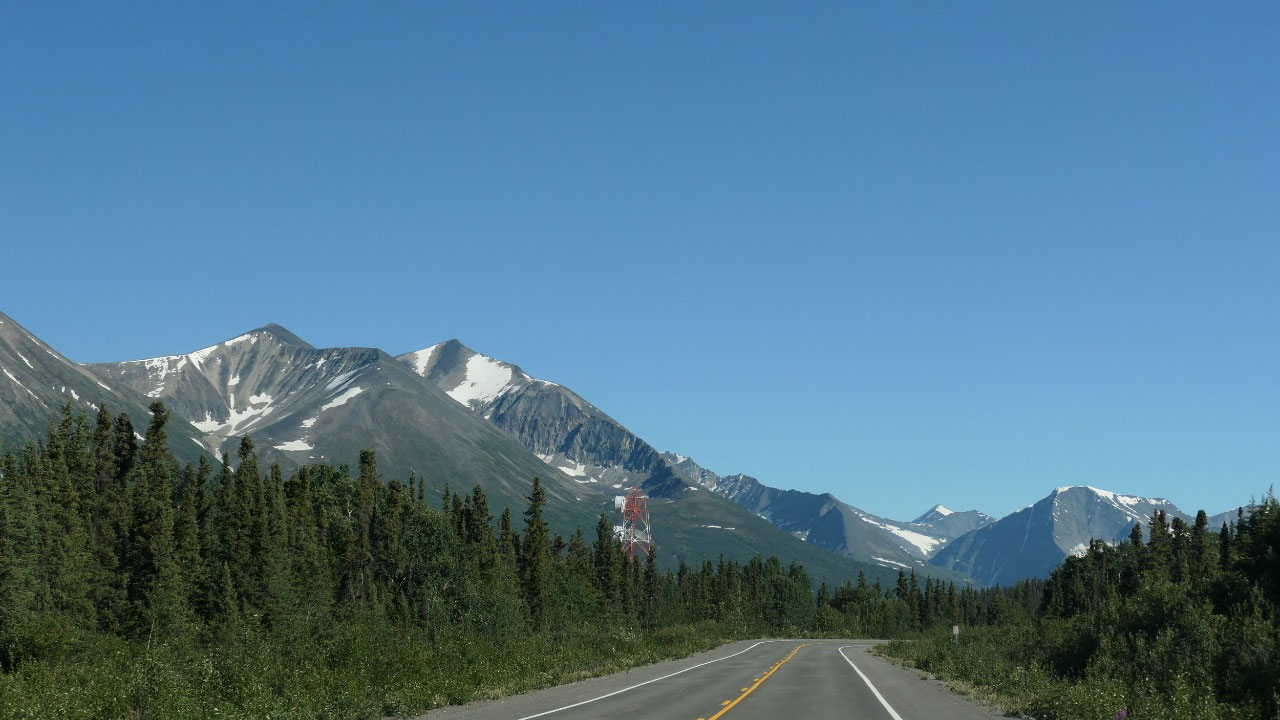
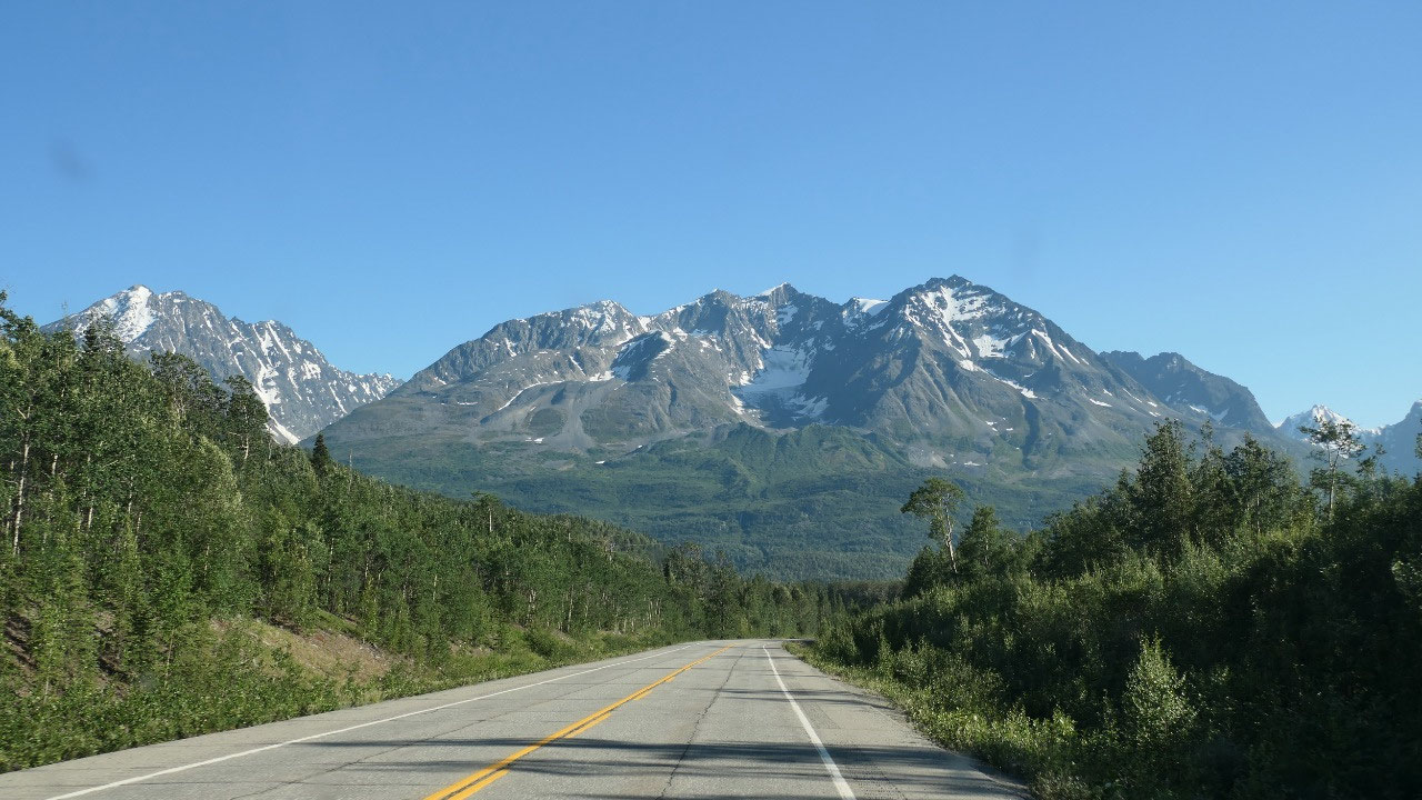
Gine said that is too late… we stop at a very nice viewpoint with endless views
on the forested valley and forested mountains (yes and glacier capped
mountains)– it’s fairly close to the highway and it is not levelled – Paul is
not convinced.
- Did you know in 1900 they built a 1506 mile long telegraph line all through Alaska. Storms, winds, frost and forest fires interrupted the service fairly often and to maintain it the army had every 40 miles men stationed: 3 men and 7 dogs: by the way they were allowed to hunt and fish but not to prospect for gold (so that they don’t neglect their real job). Because there were so many civilian messages (more then military) they soon installed a 2nd line – until in the 1920s the radio made the old-fashioned way obsolete
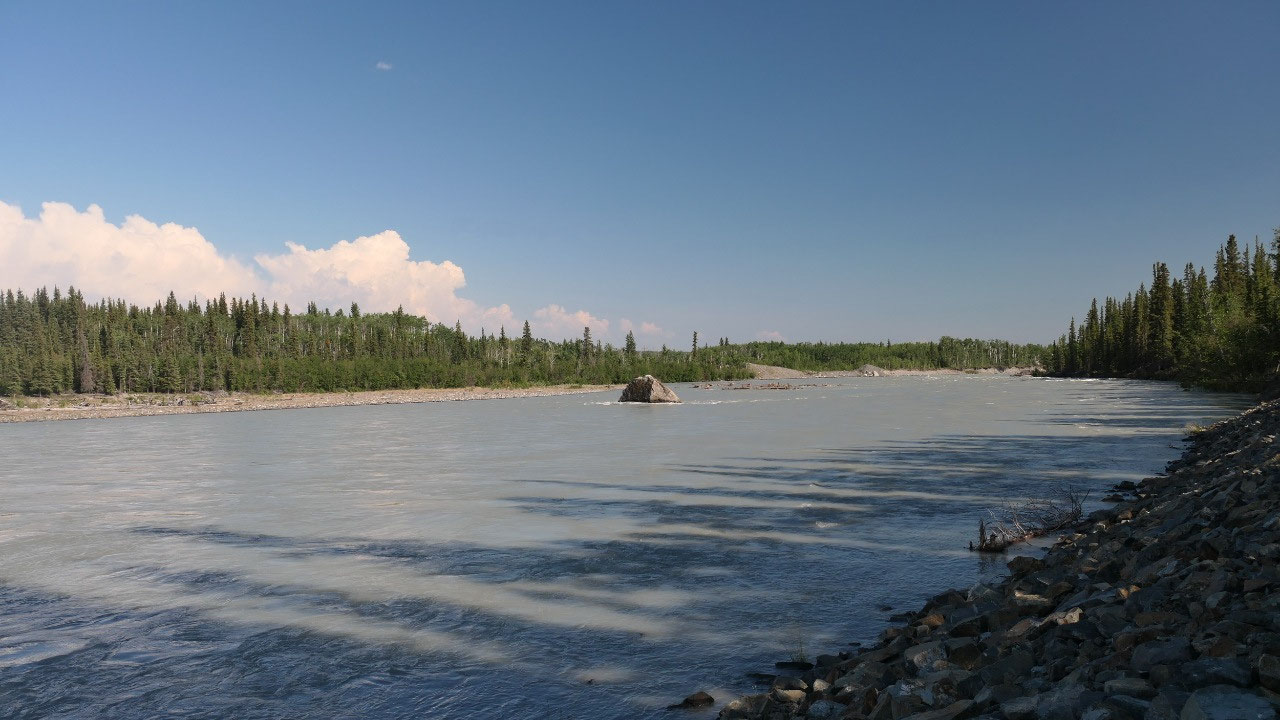
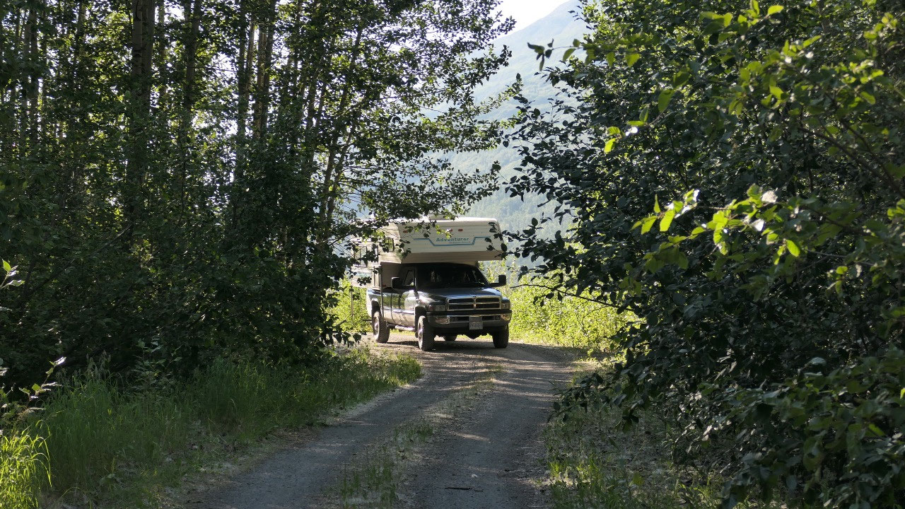
We checked
out the Squirrel Creek Campground but when we saw that you pay 25 $ for total
uneven and super rocky spots we say no and continue on, we stopped at another
parking and finally went into a road which we found in the iOverlander, Gine
walks to the end and yes there is a super spot with a fire ring and river view
and amazing mountain view. Ok we will stay here – only we did not stay outside around
the river as the mosquitos like the spot too. But with views from inside –
listening to the river (it was so noisy, that Paul said he cannot even watch a
movie) and the wind blowing through the camper we have the perfect spot and
Paul got what he wanted driving until 7 pm.
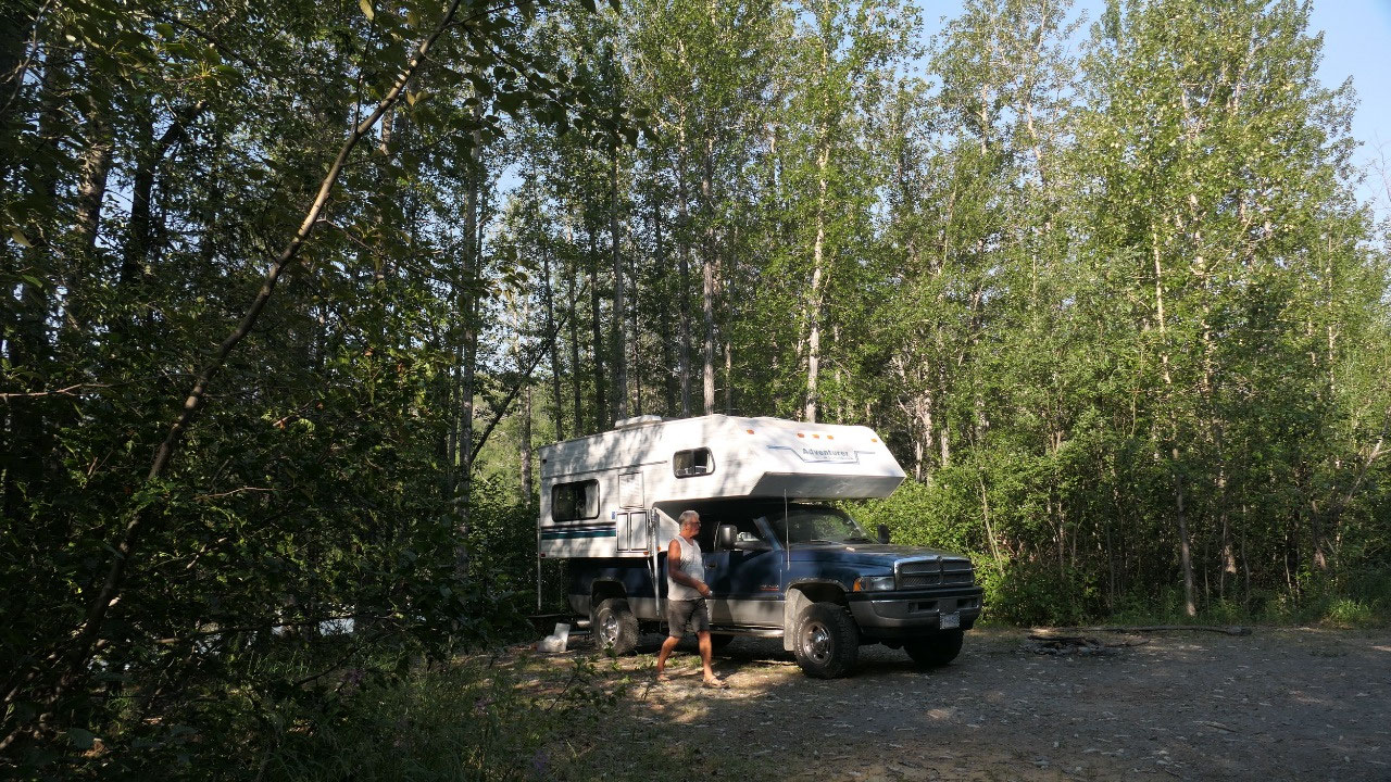
In the
morning we woke up – had a quick glimpse at the river and the mountains and
decided coffee inside and we go – as we are not interested in meeting even more
mosquitos!!!


2025-05-22