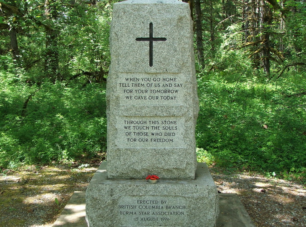
 Duncan, British Columbia, Canada
Cowichan Valley – May 24-29, 2009
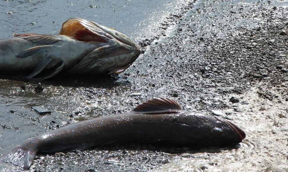
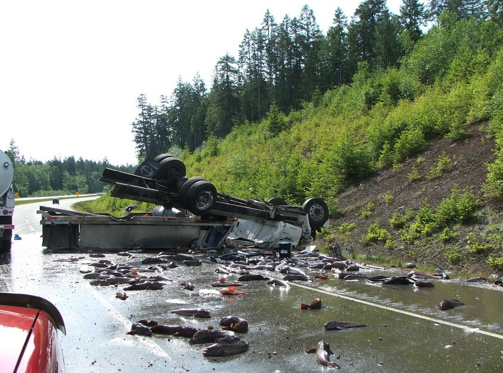
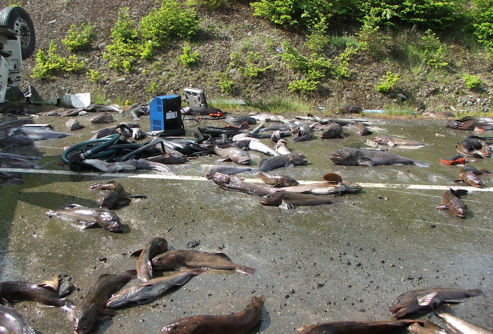
 Fish on the road
Normally you find fish in the water, today on our way south we suddenly saw those flapping fish on the road, a truck flipped over and the fish covered the road – this is something you really don’t see every day.
Finding the warm:
- The name Cowichan comes from the Salish word “Khowutzun” and it means:
land warmed by the sun - The Cowichan Band is the largest First Nation Band in BC
- The first Settlers arrived in the valley in 1862
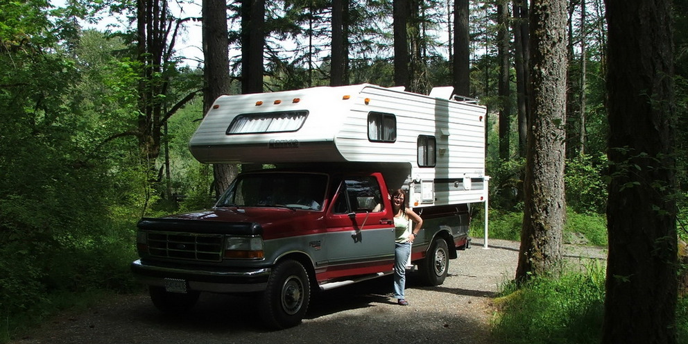
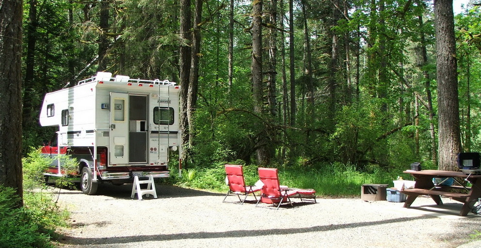
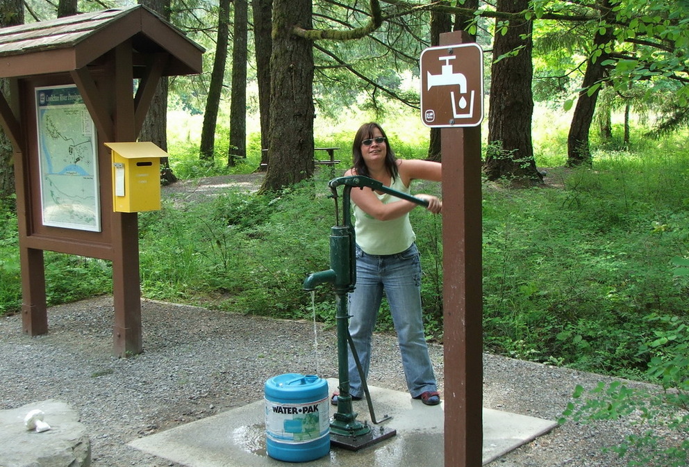
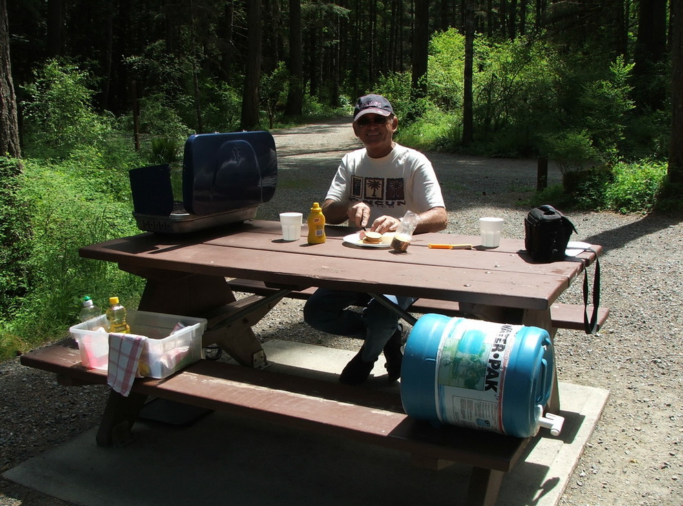
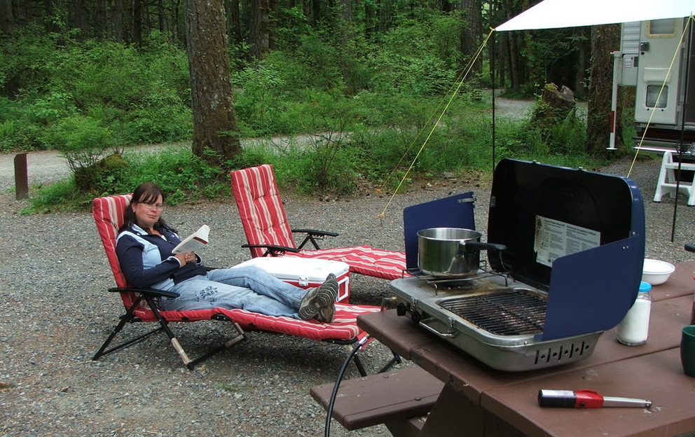
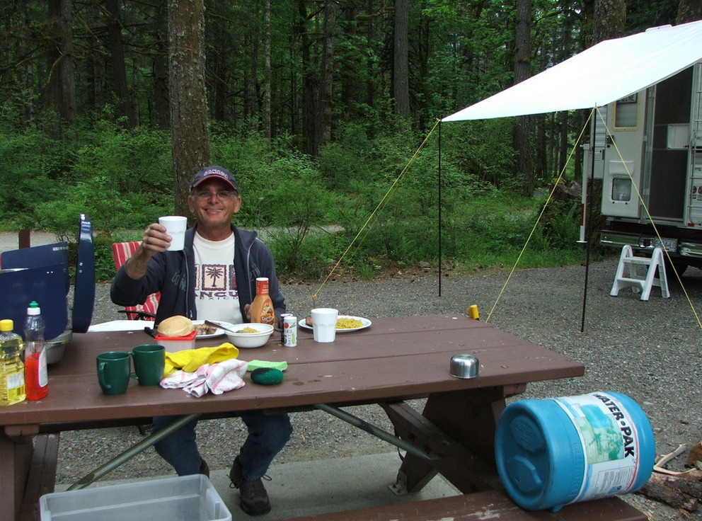
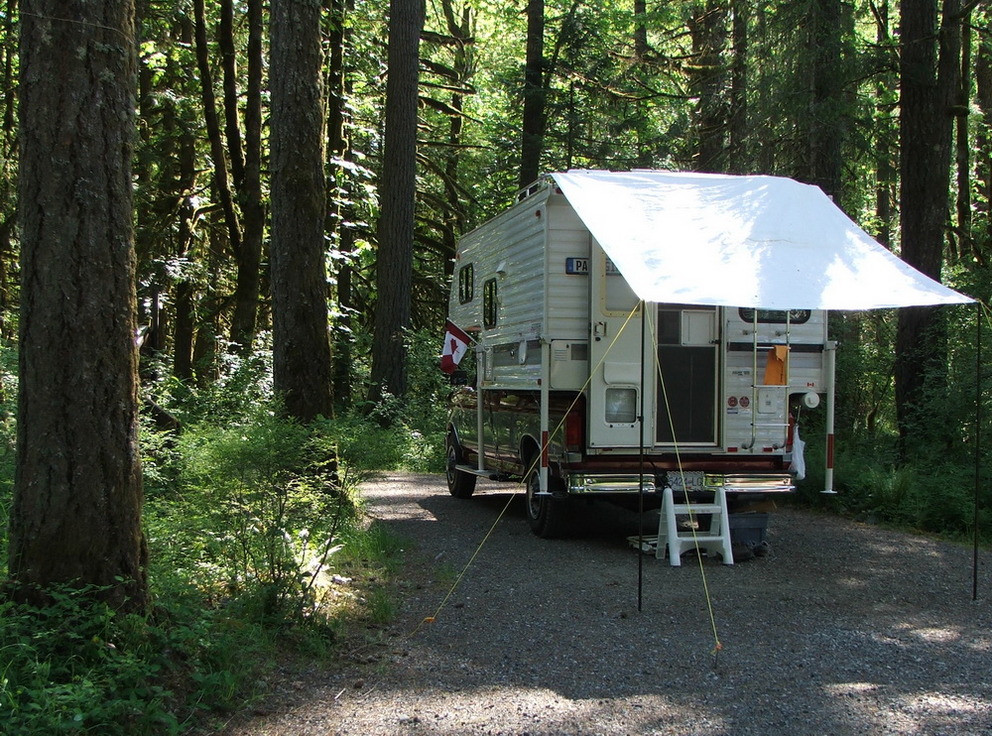
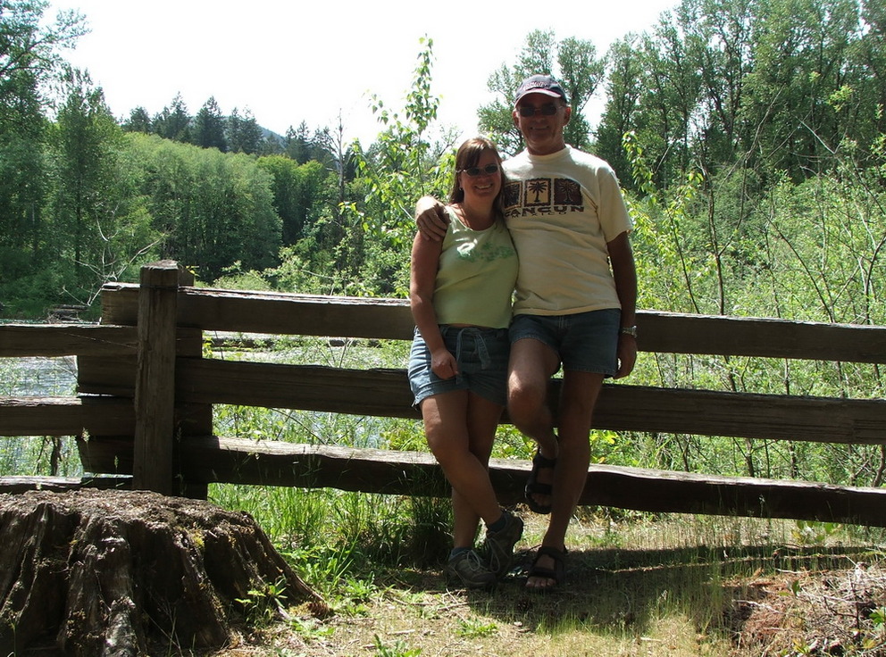
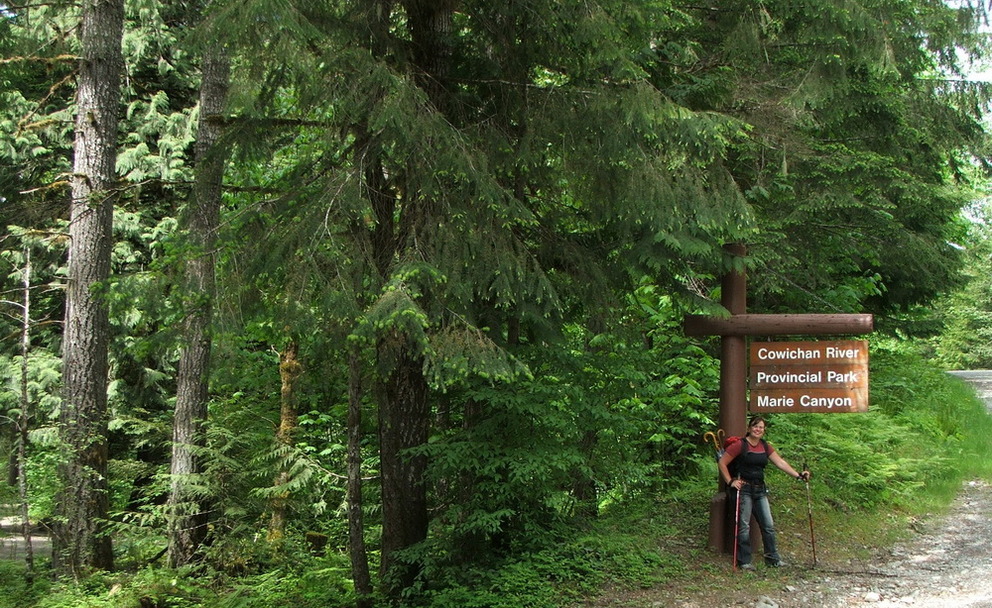
 Cowichan River PP
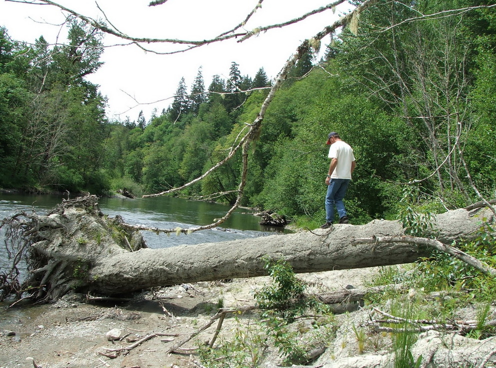
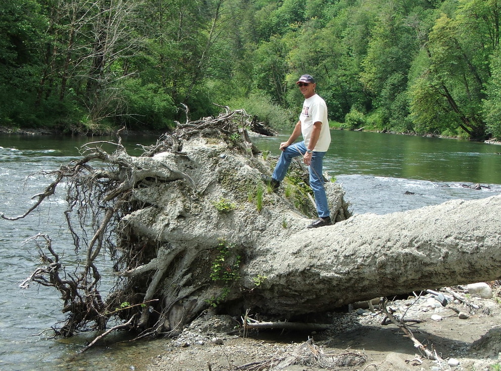
Our first stop is camping in the Cowichan River PP. And after setting up our campsite it is time to explore this park:
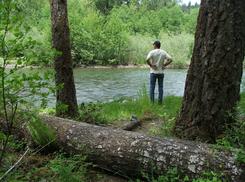
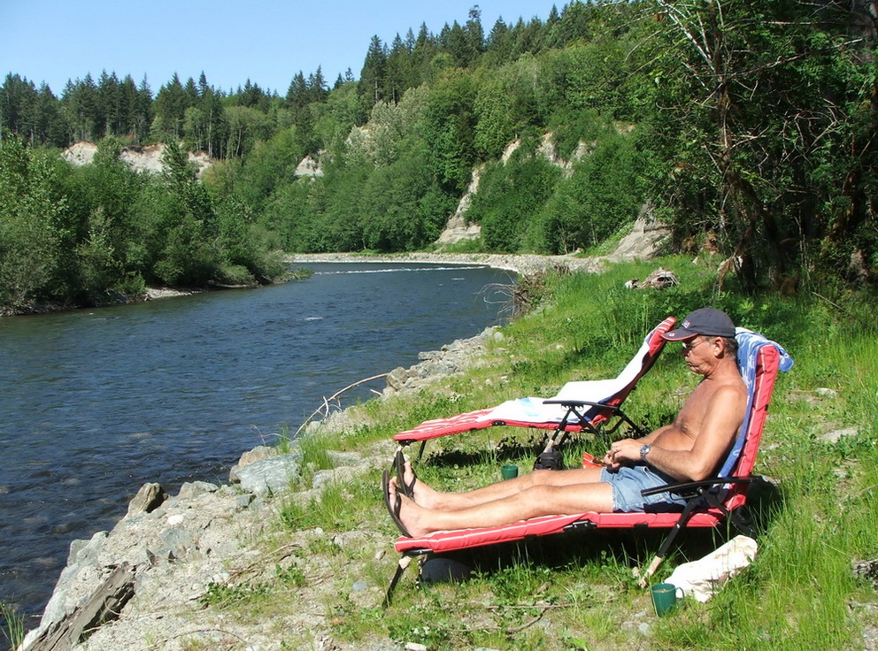
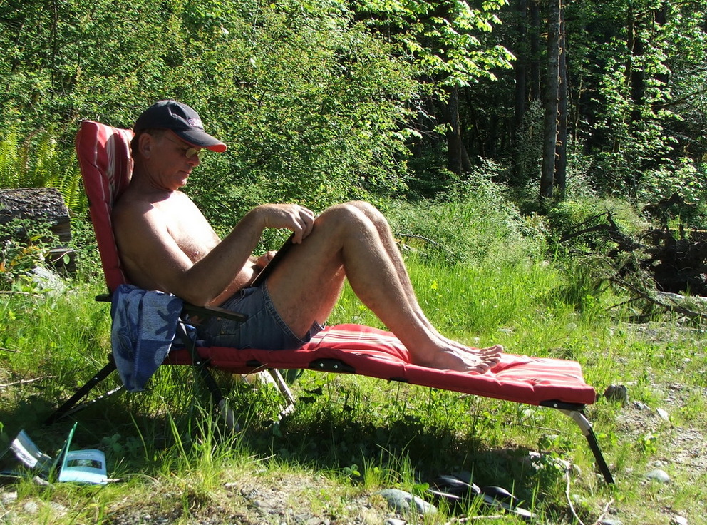
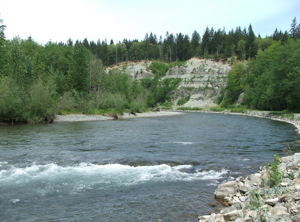
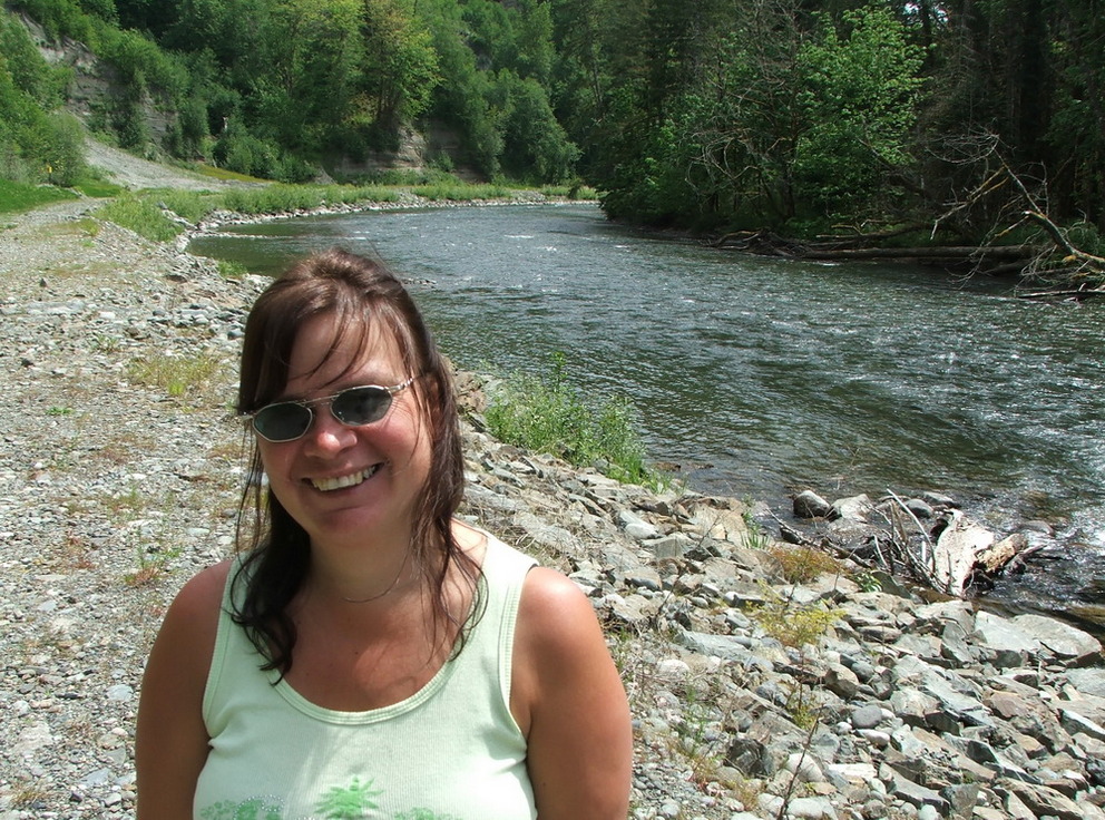
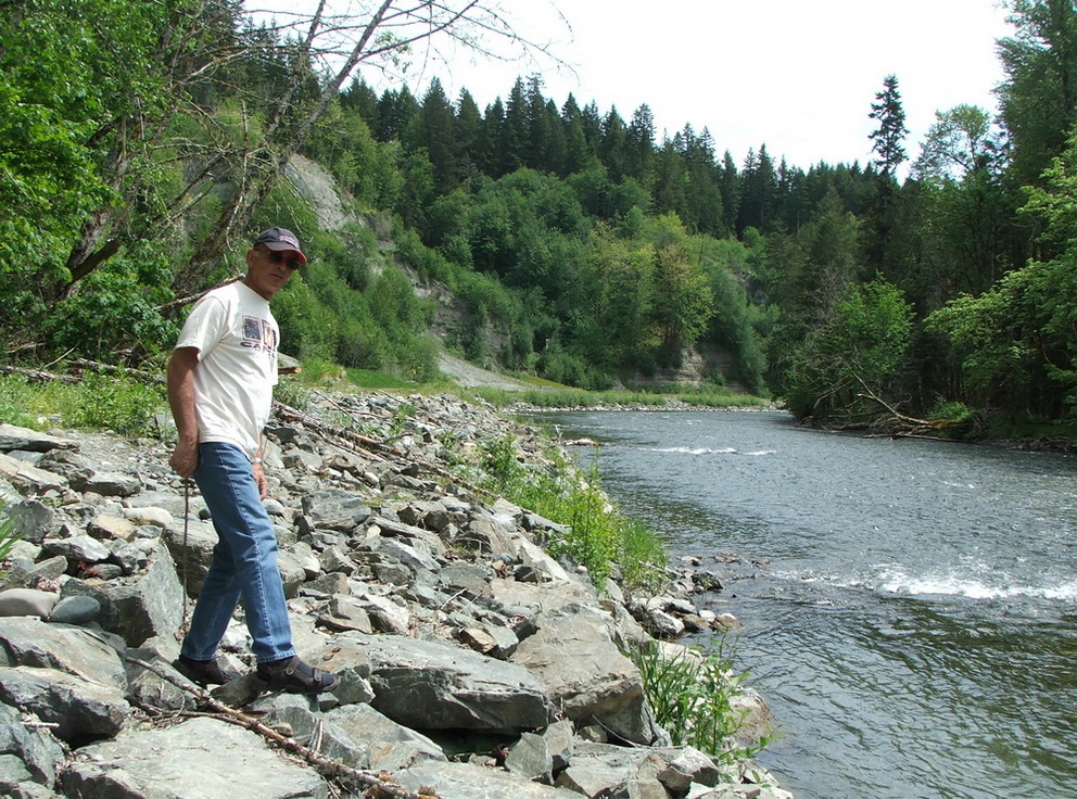
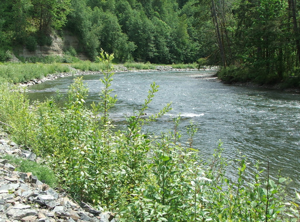
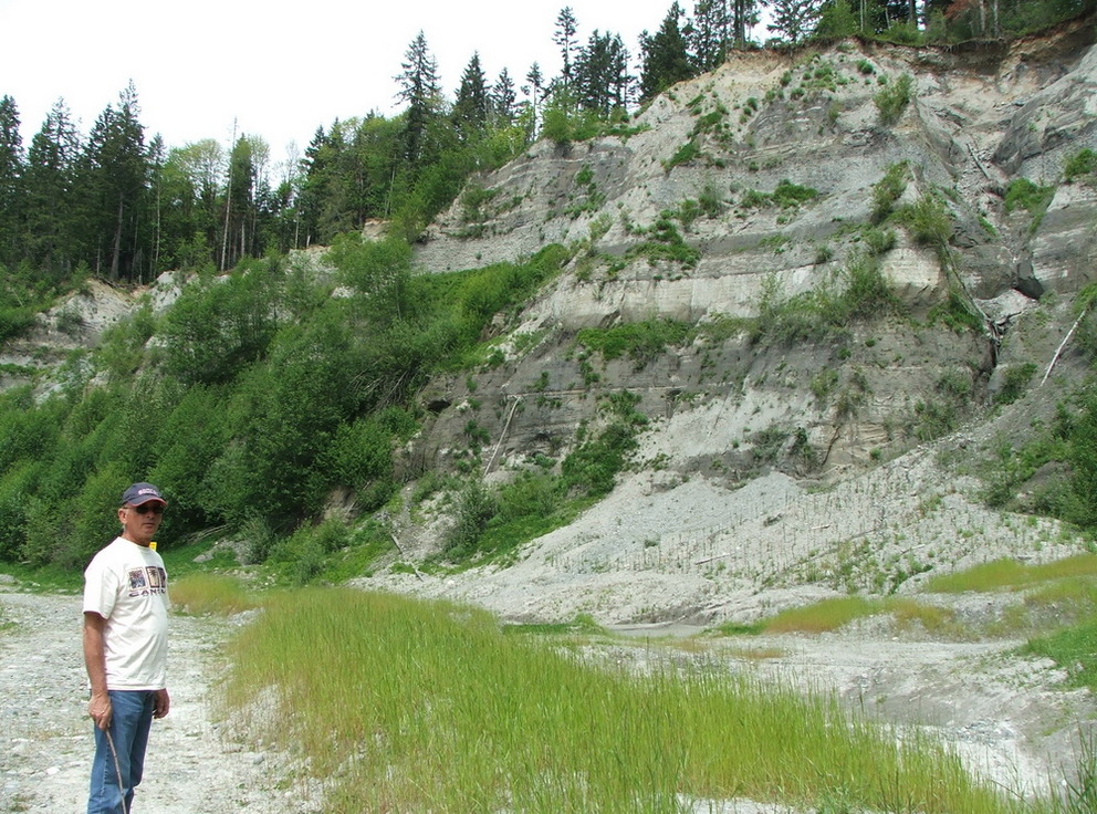
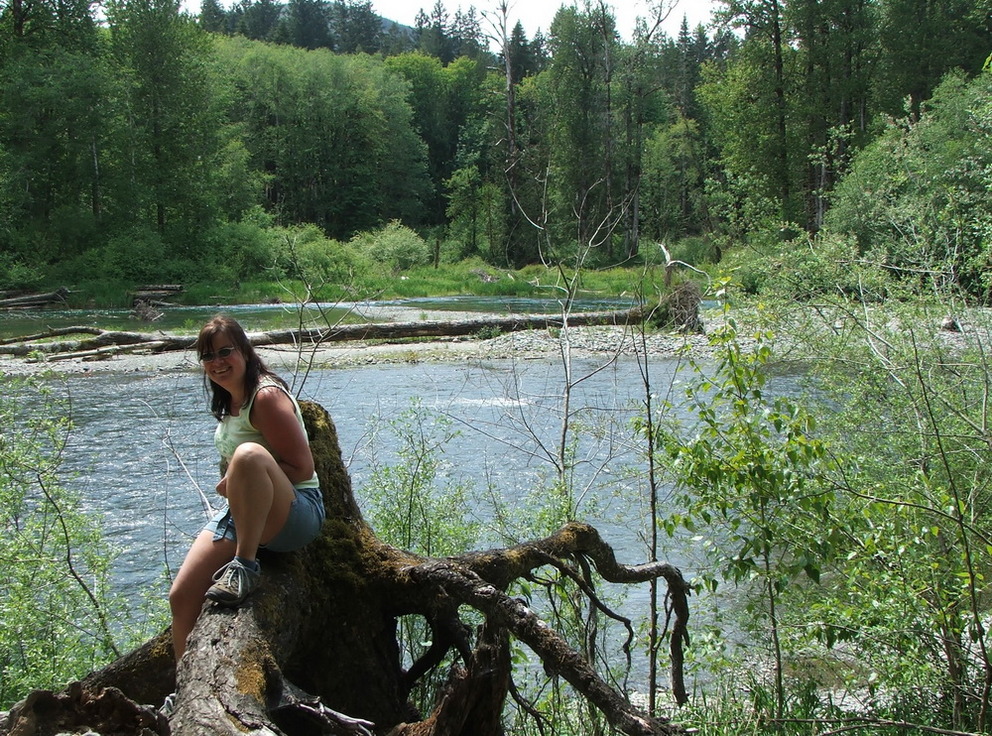
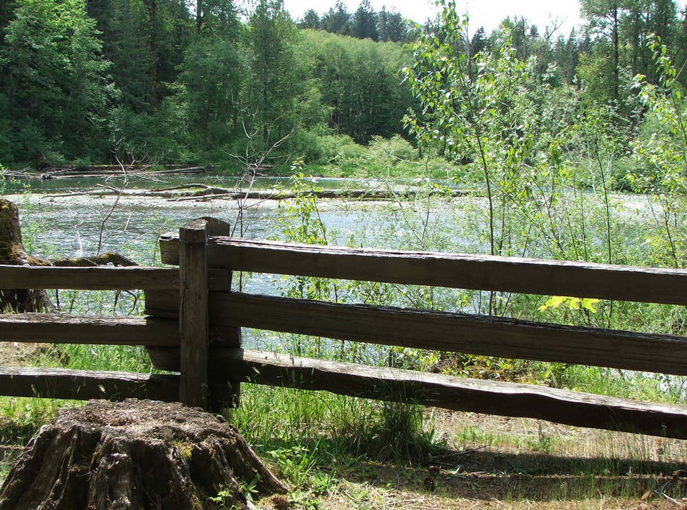
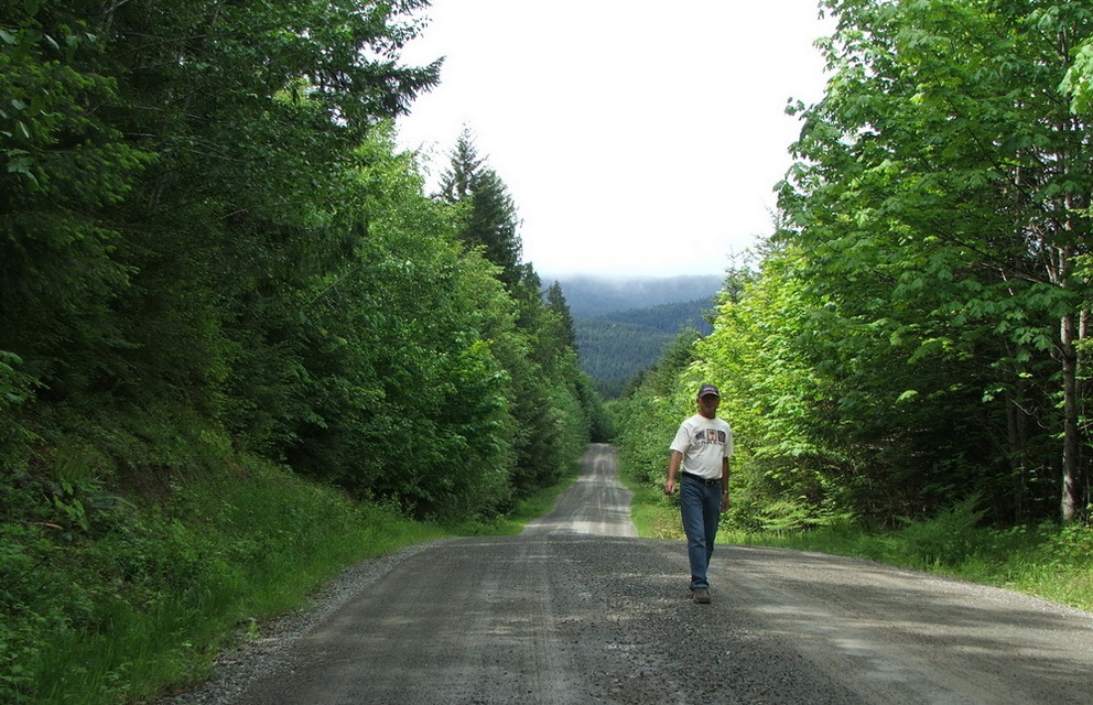
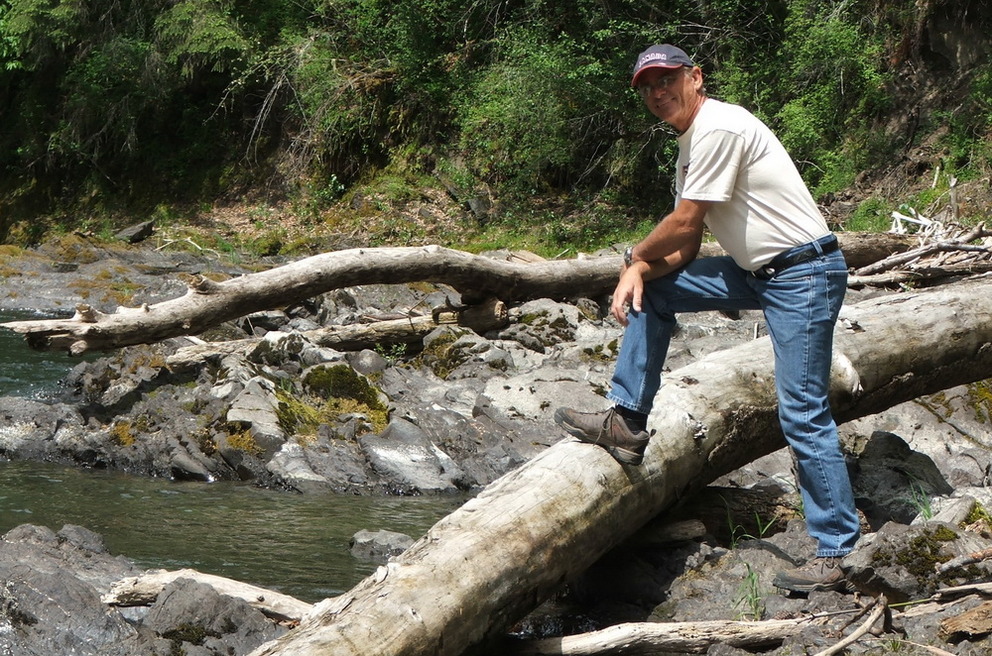
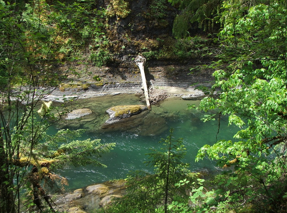
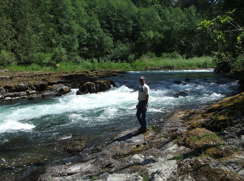
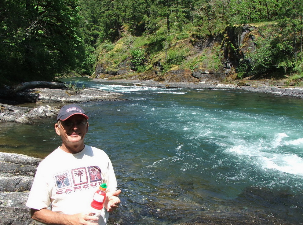
 A walk along the Cowichan River
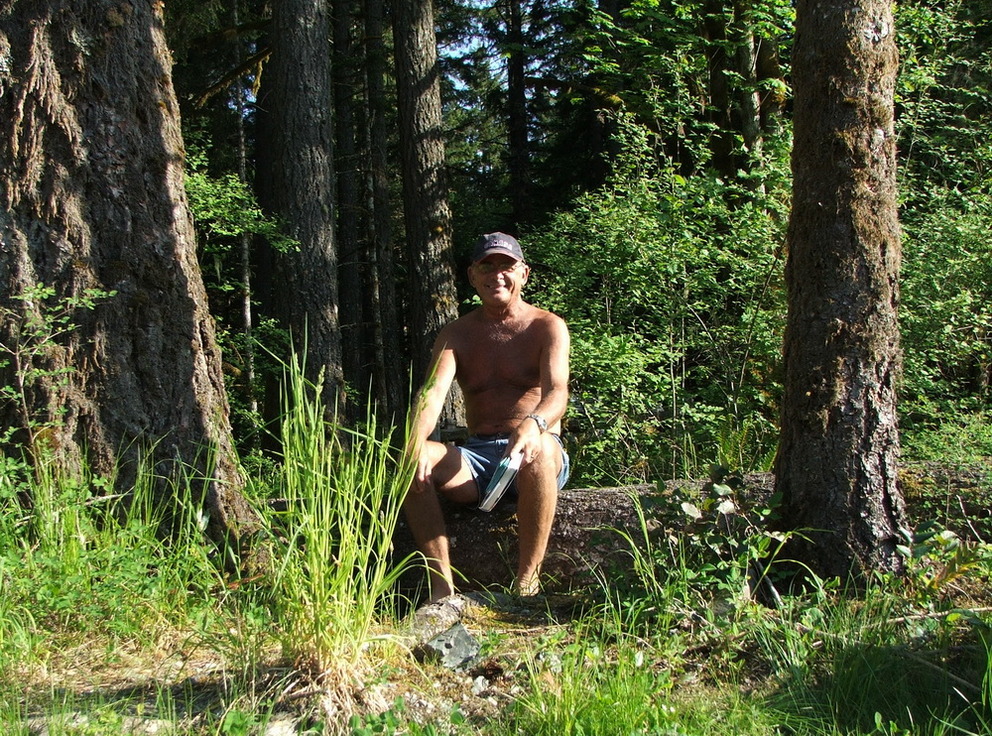
Yes we did walk along the river where we discovered also a cool spot for our chairs to sit and relax at the river… when walking along the river we thought the sandy cliffs were quite cool… we followed a trail or road in one direction and then in the other direction, when we decided it time for a break.
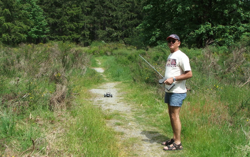
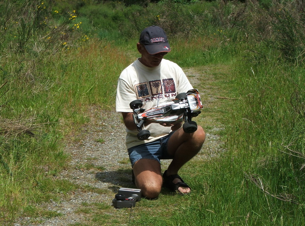
 Paul’s new toy
Yes man always need toys: and after Paul discovered all the people with the electric cars… we needed one too, so instead of going with a dog for a walk we go with a car for a walk…
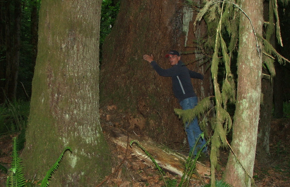
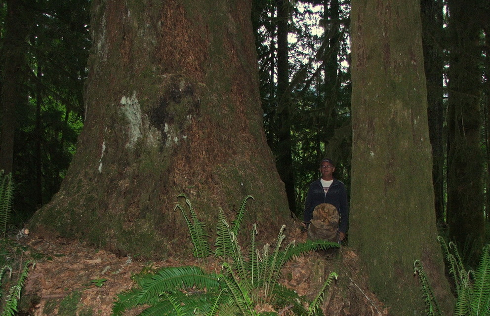
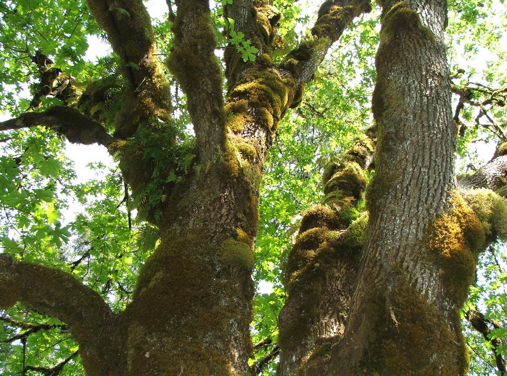
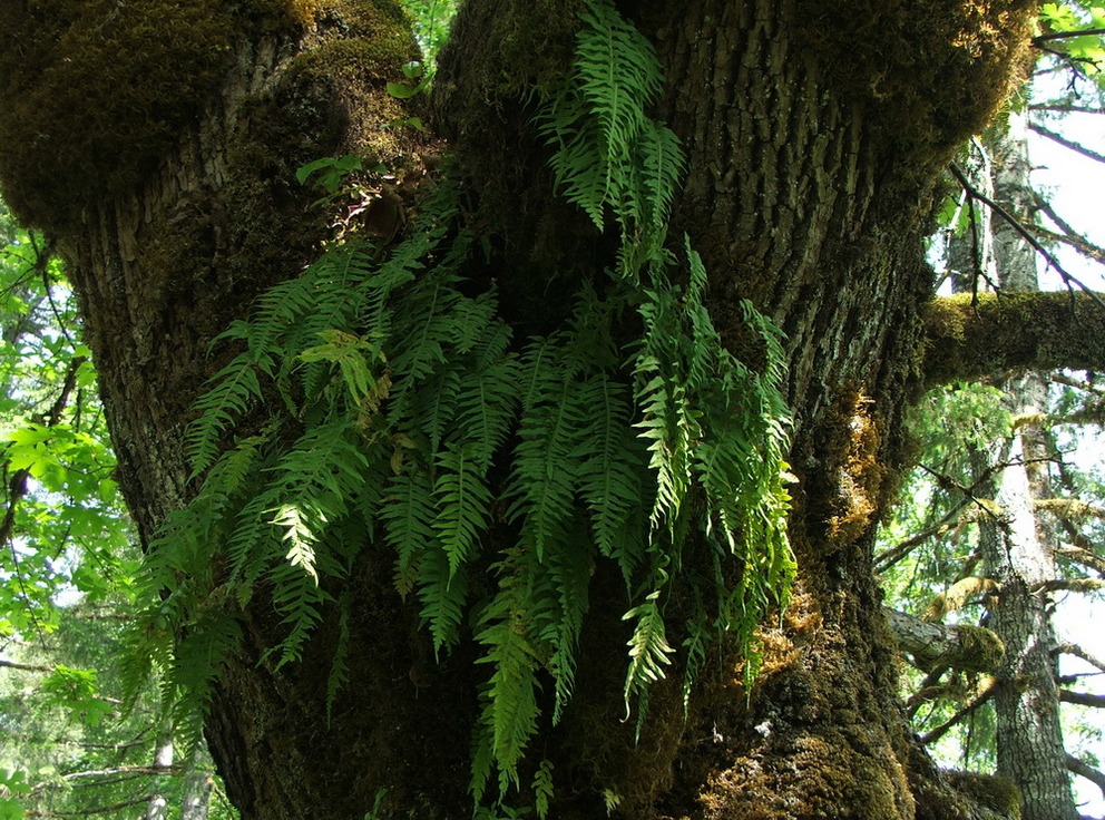
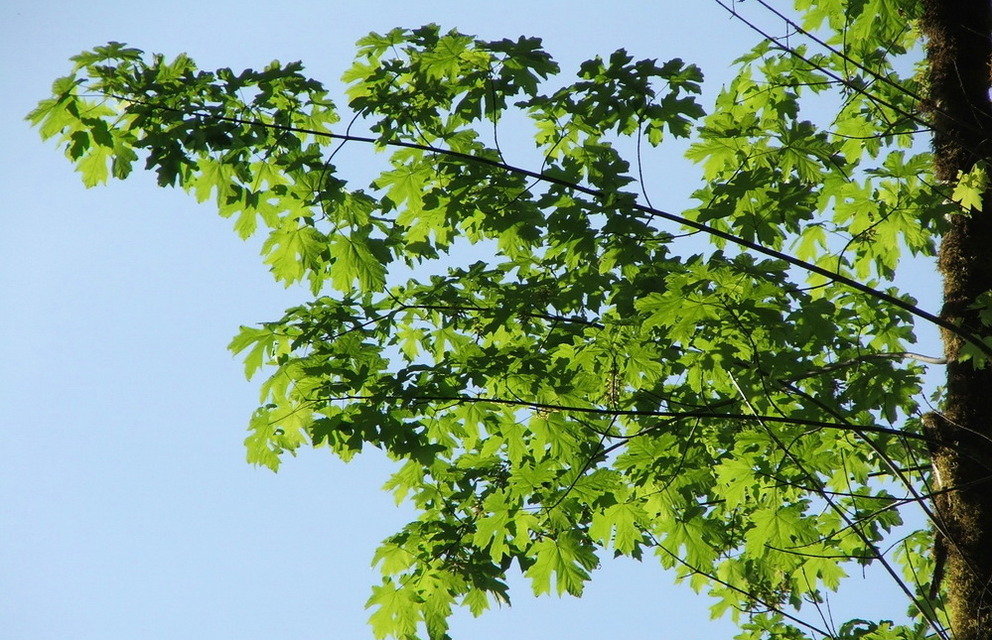
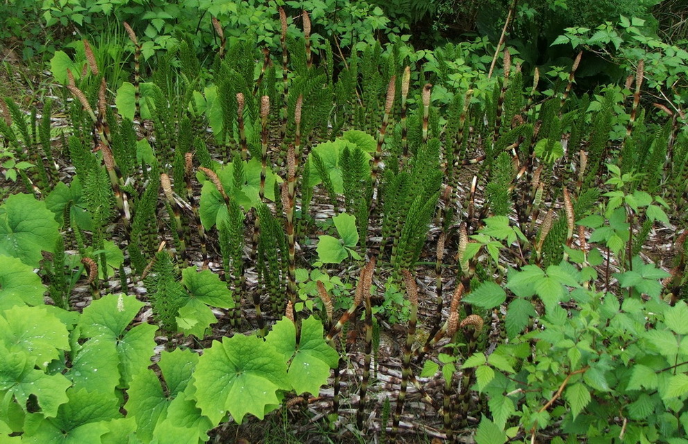
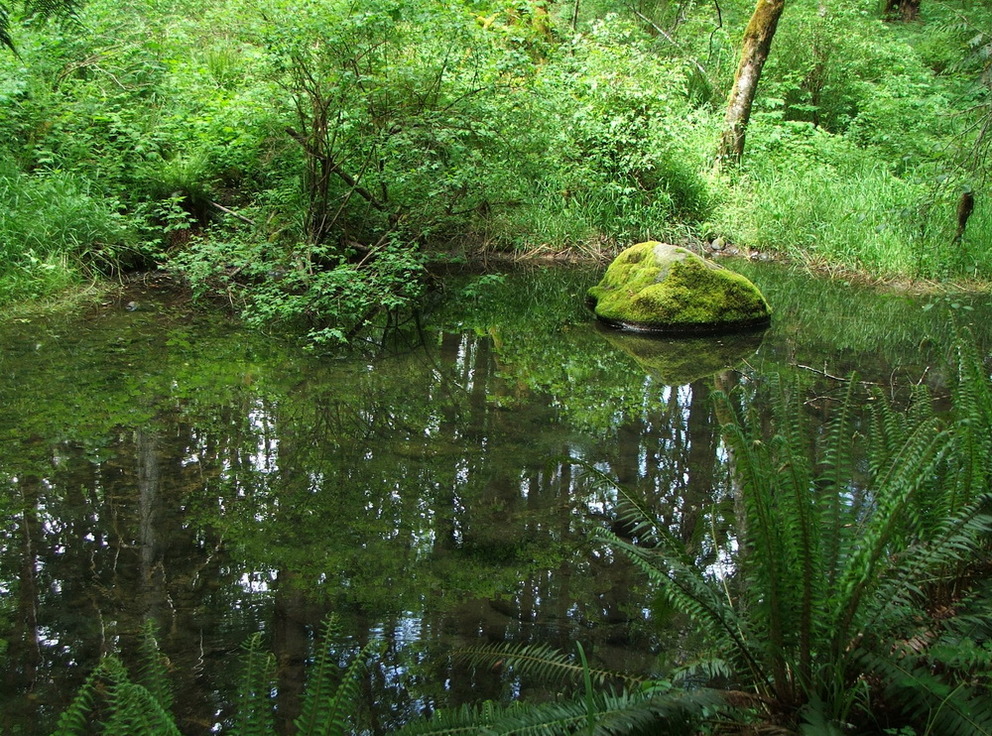
And found some nice green spots along the river.
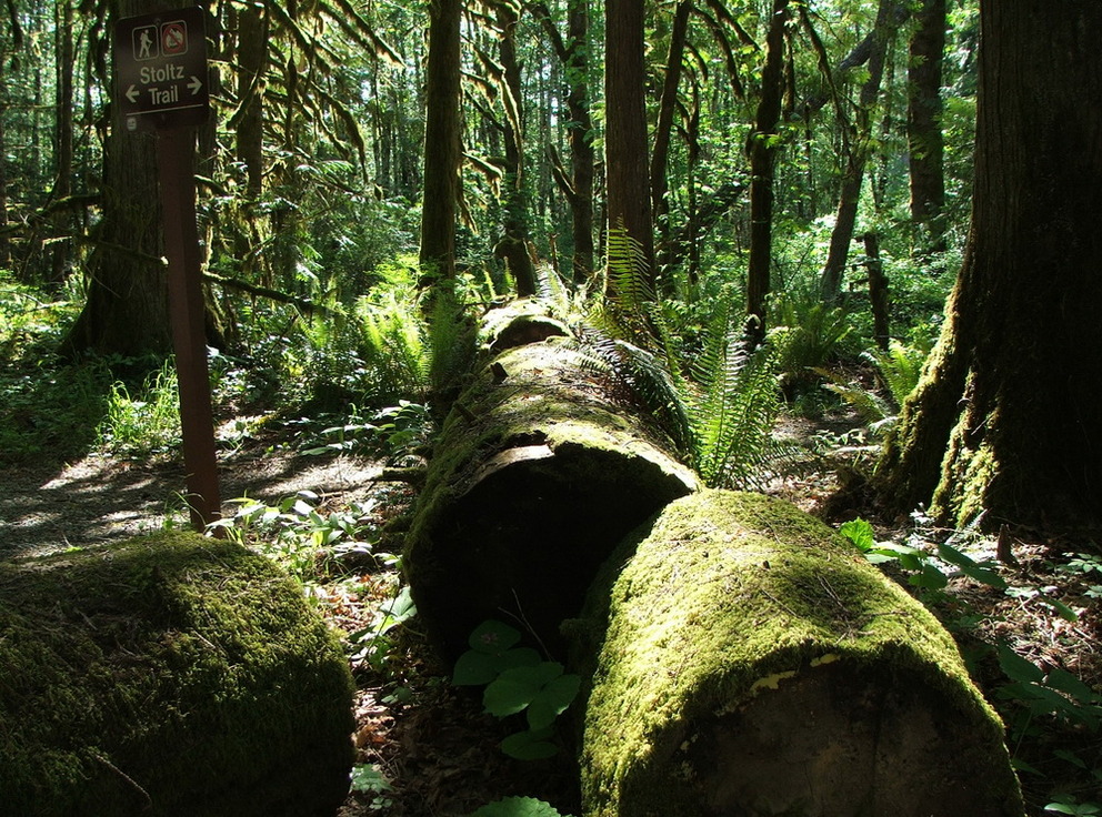
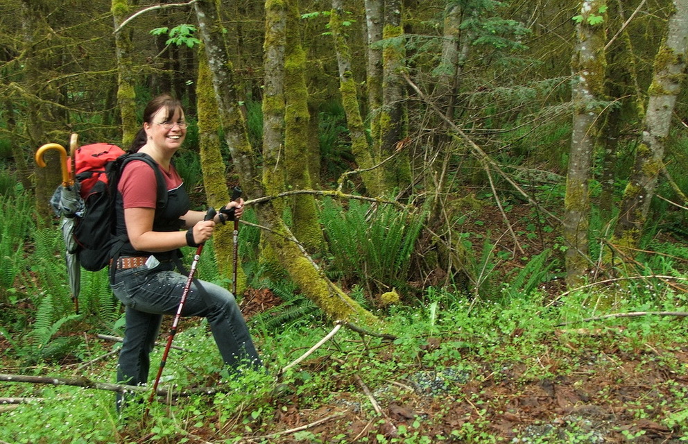
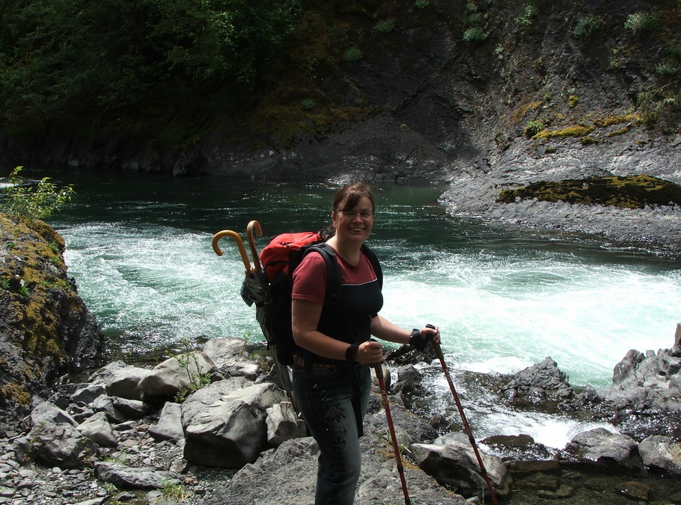
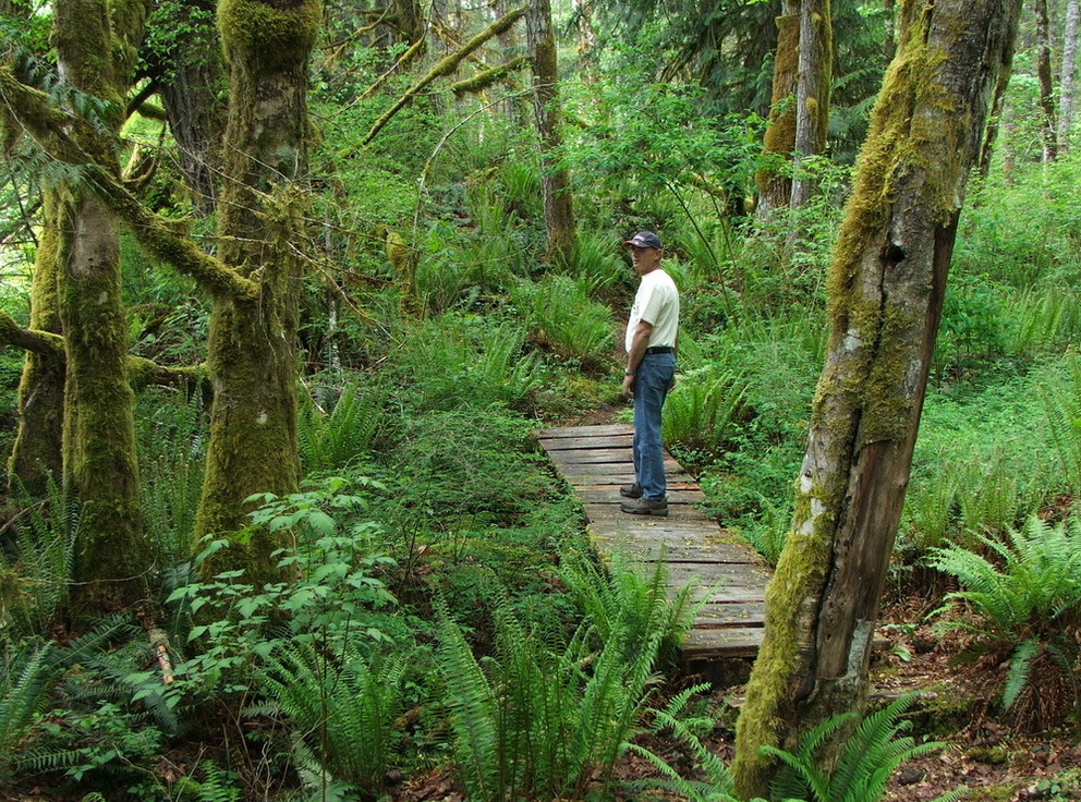
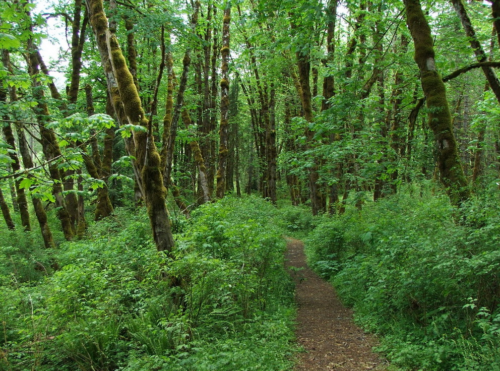
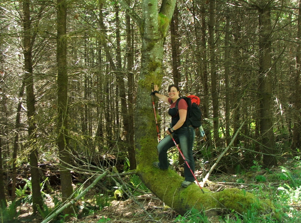
 The Cowichan River Footpath
Ok with bicycles we would have been a little bit faster, so we walked first along the road until we came to the:
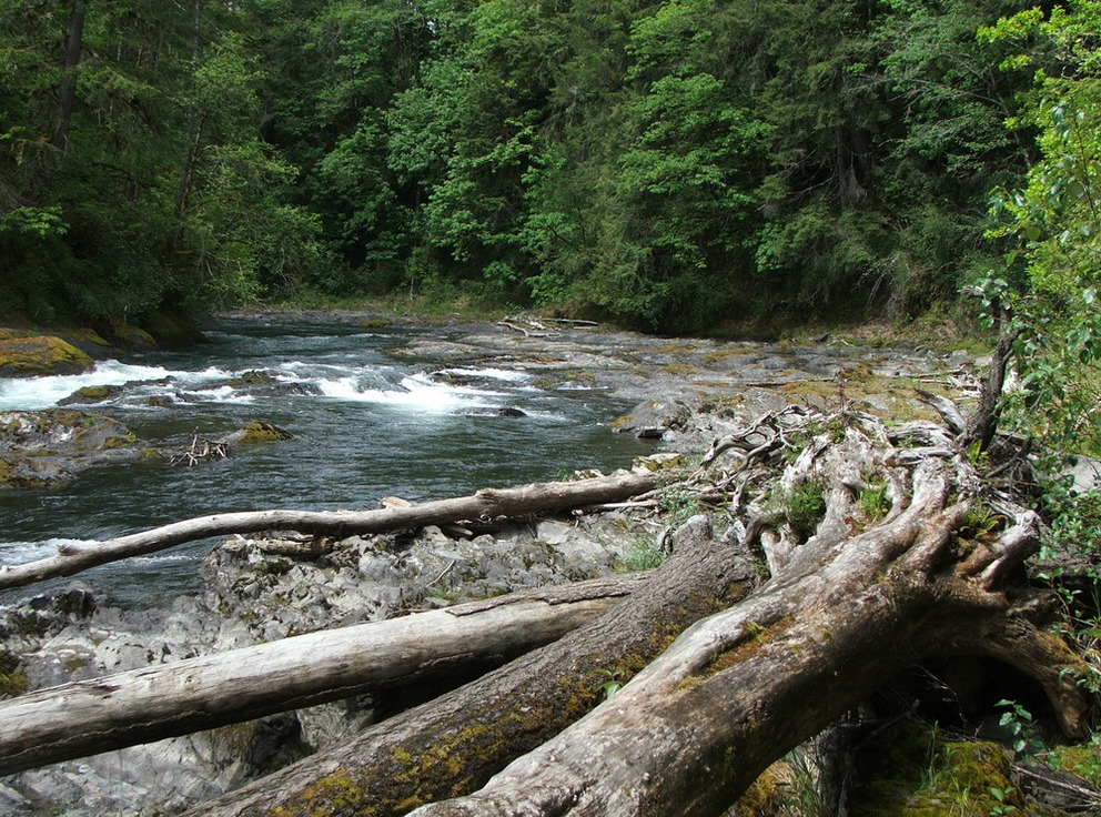
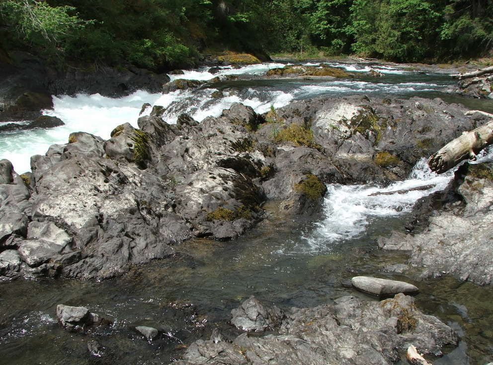
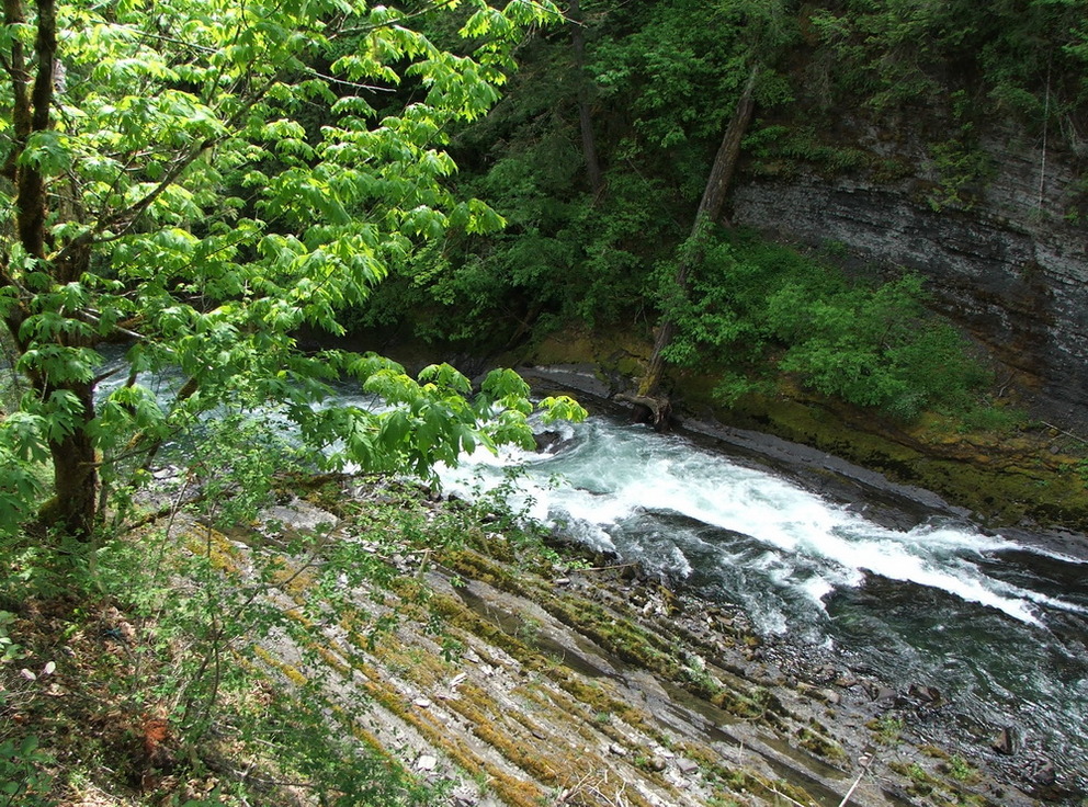
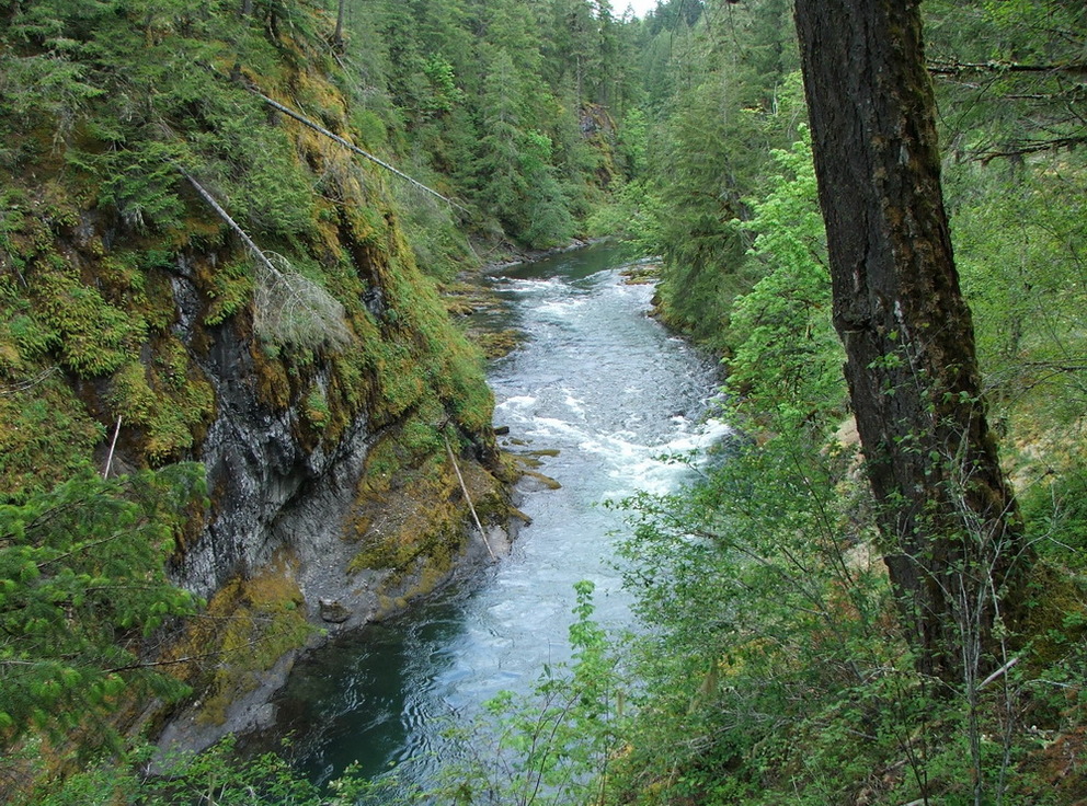
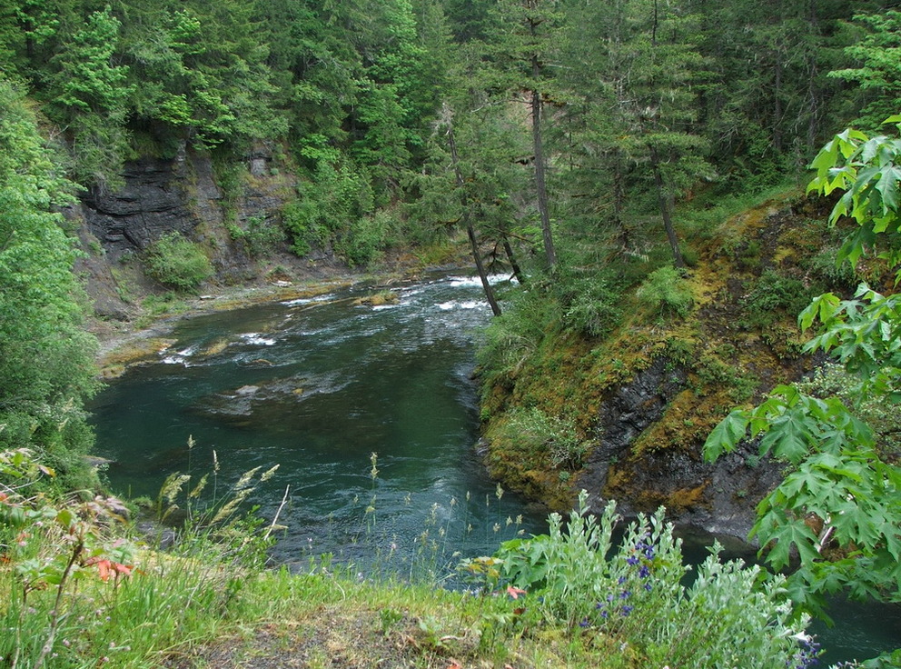
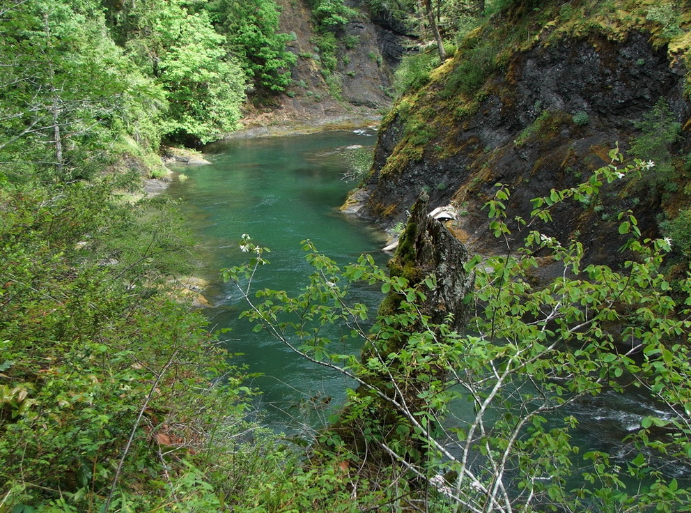
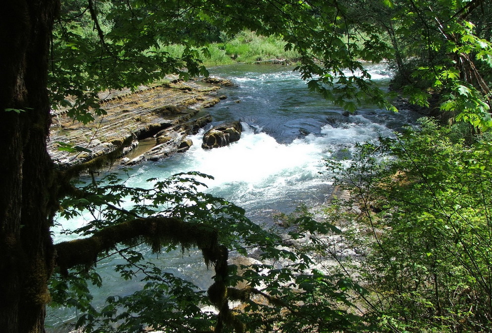
 Marie Canyon: a very nice part of the river – we loved to
look down into the canyon, see the rocks – but were wondering why it was named
Marie Canyon:
On April 7, 1930 Marie Adelaide the wife of the Governor General of
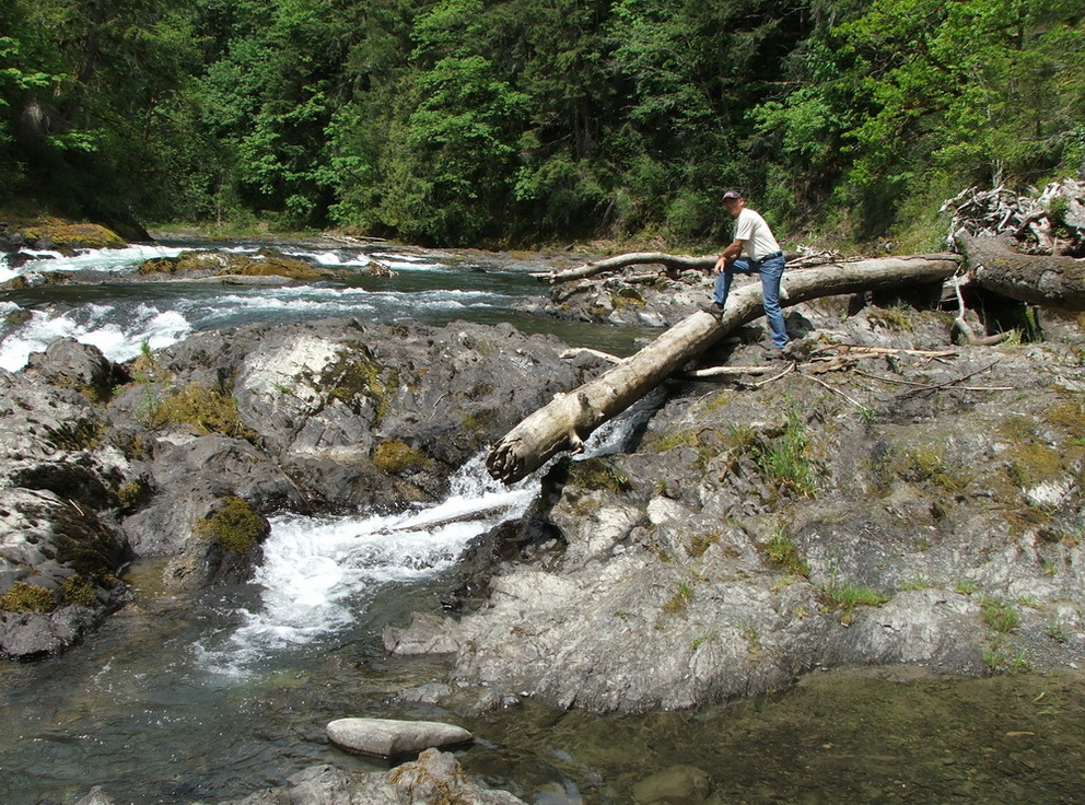
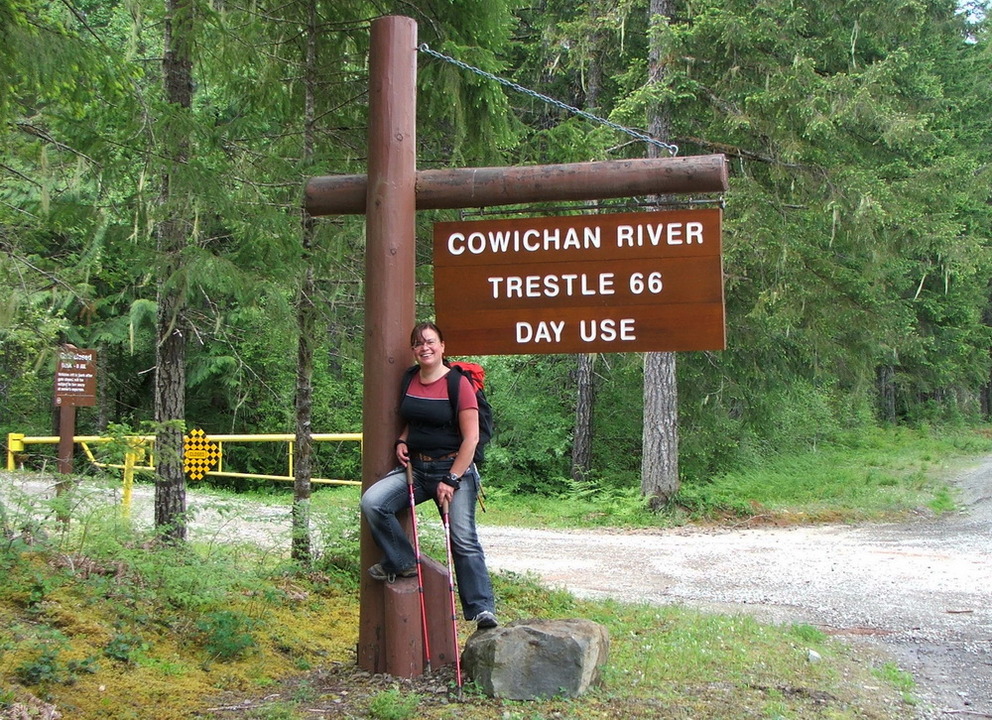
Canada did a canoe trip from Lake Cowichan down the Cowichan River The 66 Mile trestle: a restored trestle 35 m above the river – it
is fun to look down and now we are officially on the Trans Canada Trail for a
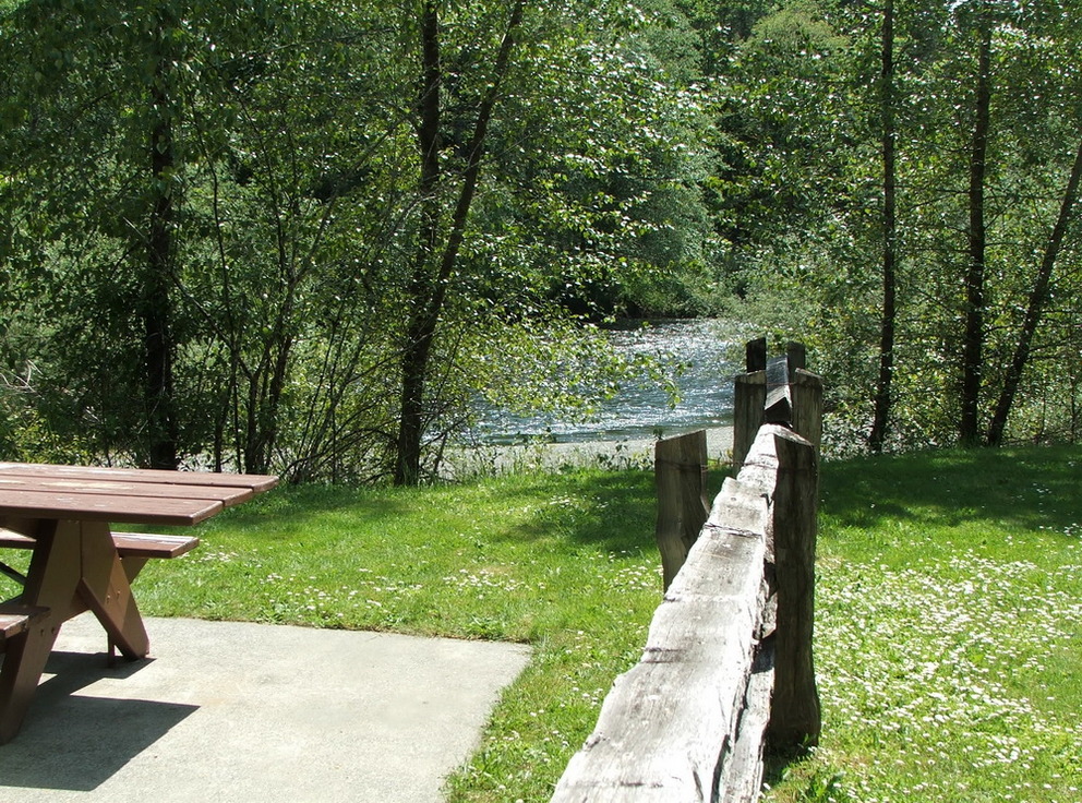
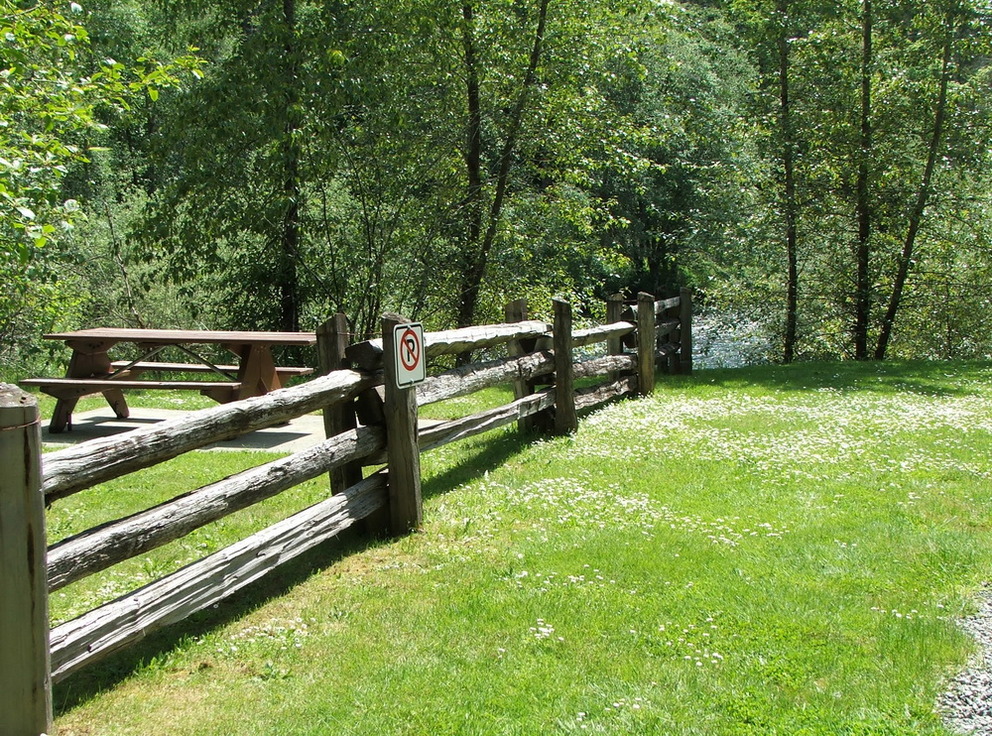
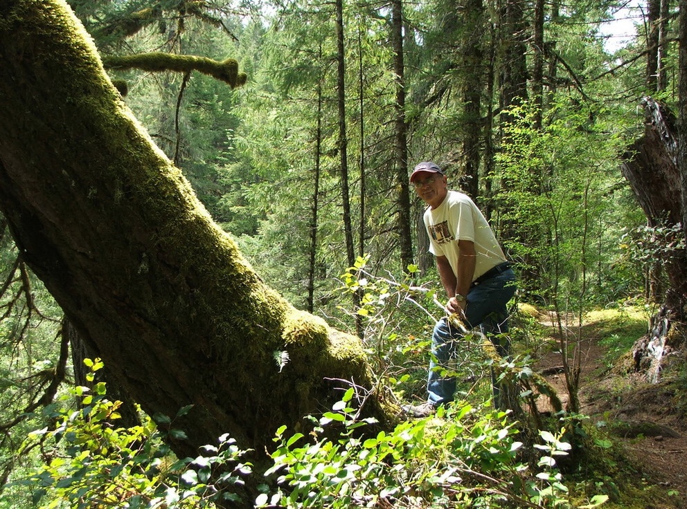
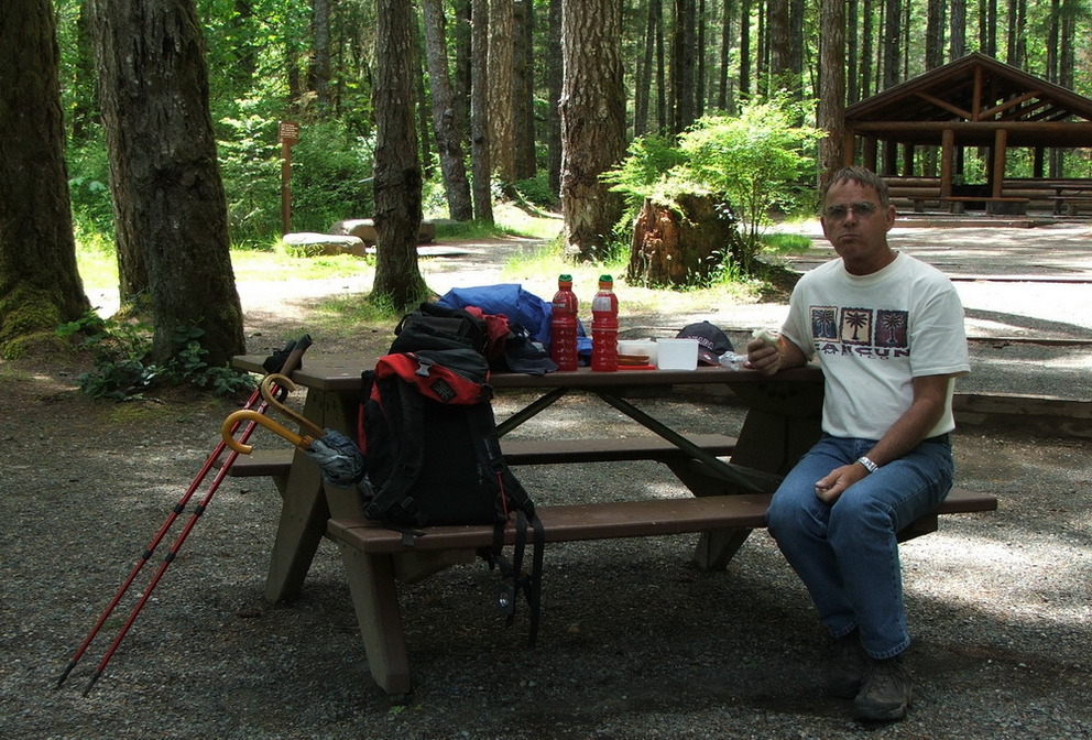
tiny little bit, once part of the Railroad Horseshoe bend Campground: was our final stop – originally
we wanted to go to the falls, but if you don’t bring a map and you have no clue
how much longer to go and you know you have to walk all the way back: so here
we had a perfect picnic table for our lunch and then we walked it all the way
back
and we were very happy to be back and sit down at the river and listen to the
water rushing by.
And because we explored everything here, we decided to go on and visit more places of the Cowichan Valley….

2025-05-22