Great Sand DunesNational Park and Preserve
Thursday, May 22, 2014
 Blanca, Colorado, United States
 Blanca, Colorado, United States
Thursday May 22, 2014
Non-Travel Day
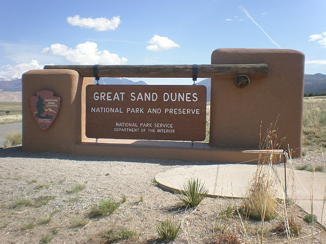
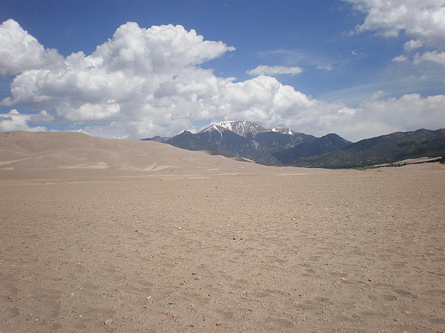
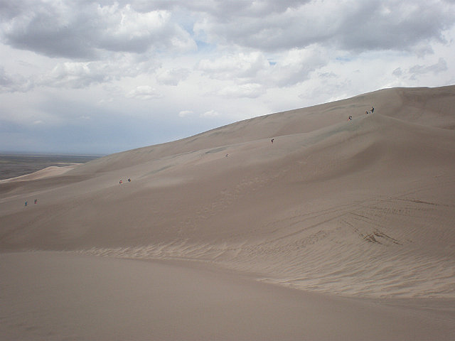
This morning we went to the “Great Sand Dunes National
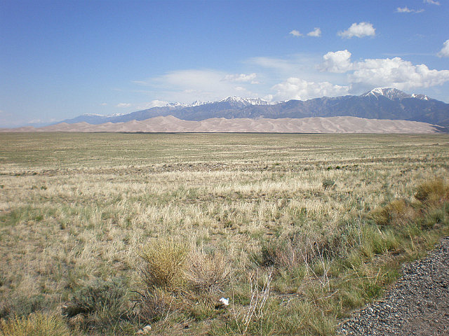
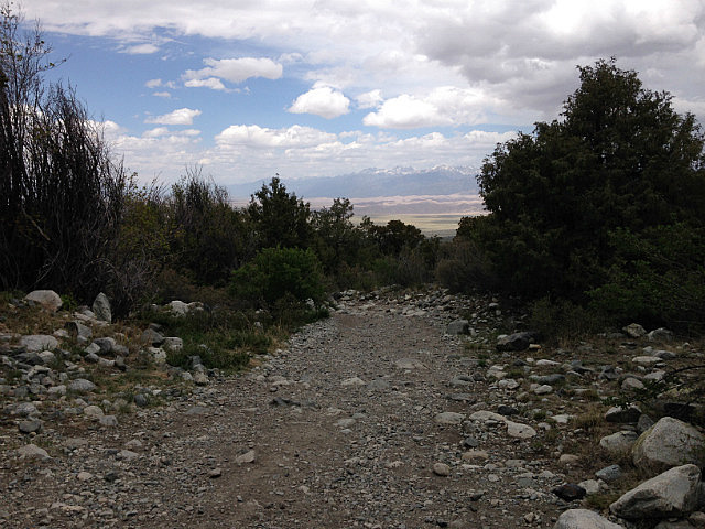
Park and Preserve”, just northwest of the campground . It is one of those sights that you have to see to appreciate, traveling over the relatively flat valley floor toward the
mountains you can see a brownish area at the base of the mountain, and as you
approach the area you can see these gigantic sand dunes rising from the valley
floor. This area of Colorado was formed millions of years ago through the interactions of tetanic plate movement, glaciers, and volcanic activity. The valley floor was at one time a large lake where sand washed in from the San Juan Mountains and larger gains and pebbles from the Sangre de Cristo Mountains collected. As the lake shrunk, the prevailing south-west winds blew the sand grains to pile up beneath the Sangre de Cristos or to be washed back to the valley floor. North-easterly storm winds blowing through the mountain passes piled the dunes back on themselves and creating North America’s tallest dunes. It is estimated that the
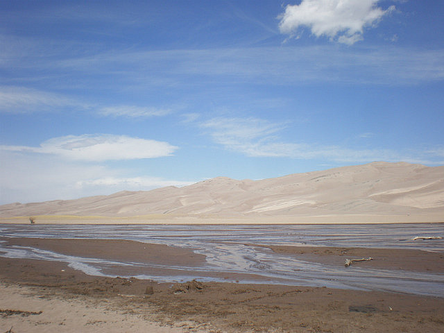
dunes are 440,000 years old. The sand covers 330 square miles with the dunes covering approximately 36 square miles, with the tallest dune rising 755 feet .
Leaving the parking area our first challenge was a mountain stream; even
though it was shallow it was very wide, and with no stones to step over we were
forced to remove our shoes and wade through the freezing water, it was coming
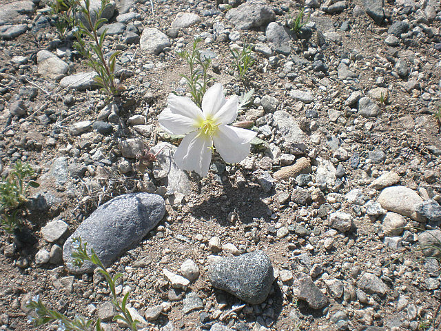
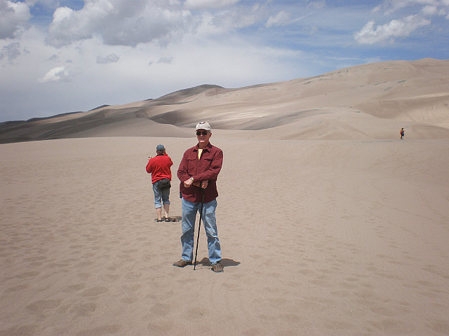
from snow runoff. Reaching the other side we then had to traverse about 200 yards of gravel, on a slight uphill grade. That is when the actual sand dunes started; we were looking at mountains of sand. Walking up the dunes was extremely difficult as for every step you took your foot slipped back down at least half of the forward progress you tried to make.
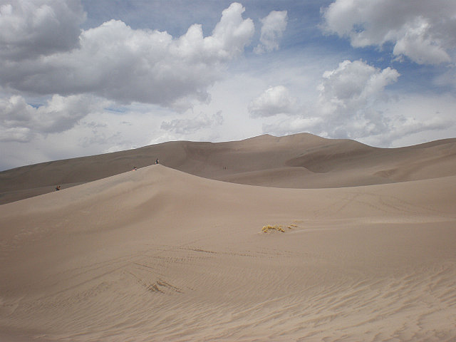
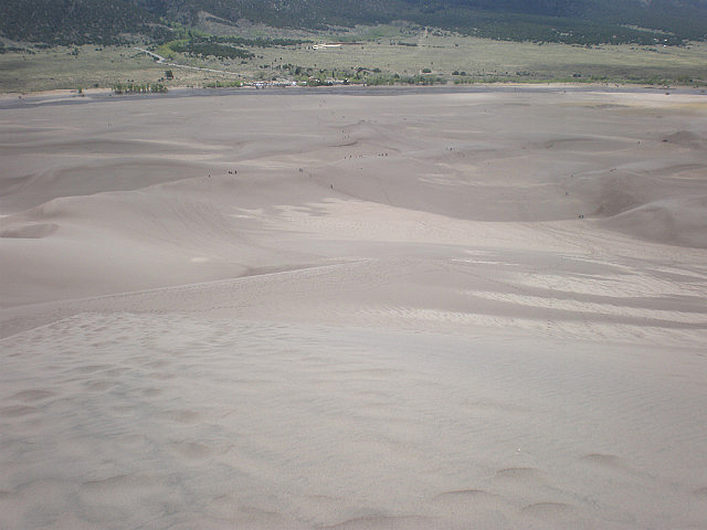
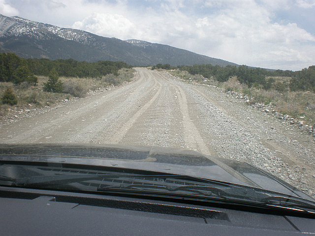
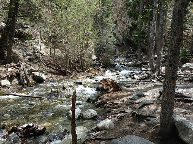
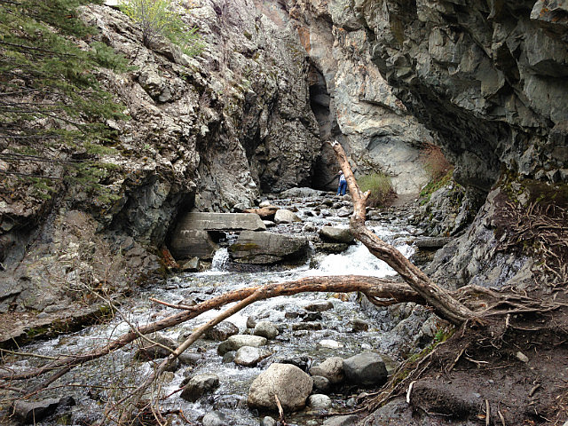
After about one half of an hour’s climb, and reaching the first major ridge, Valerie decided she had enough; but I continued setting my sights on a ridge line that was not the top, but close to it. This part of the climb was grueling as the severity of the grade increased and coupled with the thin air and the loose footing made for slow going. After climbing for just shy of an hour I reached what I thought was my objective, but only to be greeted by a valley and higher dunes beyond . At this point I was exhausted and decided to turn around and go down, of course that part of the trip was easy until the winds kicked up; it was like walking through a wind tunnel and being pelted with grains of sand. I met up with Valerie and returned to the base of the dunes. After a picnic lunch we headed down the road to the “Zapata Falls”, turning onto the dirt road we were greeted with a Bureau of Land Management Sign that read “Rough Road”, and was that right, it was only 4 miles long but it was all heavy gravel and rock, and it took us over 30 minutes to reach the parking lot. From there we had a one half mile uphill hike
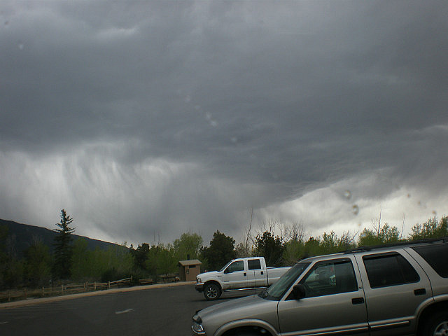
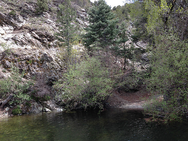
over the boulder strum mountainside. We finally reached a beautiful mountain stream cascading over the rocks and down the mountain side; unfortunately to reach the base of the falls you had to walk up the stream, in the freezing water over slippery rocks up and around a bend in the mountain side. We decided that the beauty of where we were justified the hike up, and that we did not have to risk injury to see the falls, so we turned around and returned to the truck. After returning to the camper it started to rain and hopefully it will continue to rain a lot tonight and give us some relief to the lack of humidity.
Other Entries
-
May 202 days prior Colorado Springs, United States
 -
May 211 day prior
Blanca, United States -
May 22
Blanca, United States -
May 231 day later
Bayfield, United States -
May 242 days later
Bayfield, United States -
May 253 days later
Bayfield, United States -
May 264 days later
Bayfield, United States -
May 275 days later
Bayfield, United States -
May 286 days later
Bayfield, United States -
May 297 days later
Bayfield, United States -
May 308 days later
Bayfield, United States -
May 319 days later
Montrose, United States -
Jun 0110 days later
Montrose, United States -
Jun 0211 days later
Montrose, United States -
Jun 0312 days later
Grand Junction, United States -
Jun 0413 days later
Grand Junction, United States -
Jun 0514 days later
Bluff, United States -
Jun 0615 days later
Bluff, United States -
Jun 0716 days later
Bluff, United States -
Jun 0817 days later
Bluff, United States -
Jun 0918 days later
Moab, United States

2025-05-23