
Ralph River July 5-8, 2011
 Back at the lake
Last year we discovered this Campground and we loved it, so we are back this year to explore the famous Strathcona Park a little bit more
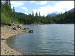
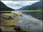
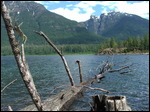
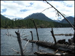
 A lake like a mirror
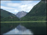
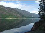
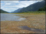
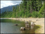
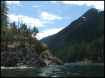
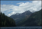
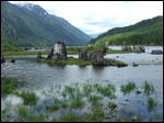
Already on the way there we get excited, because today the lake is so calm, it’s like a mirror and you may could slip the picture and wouldn’t know what is up or down
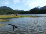
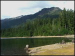
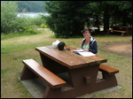
 A Lake view Spot
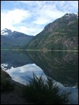
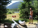
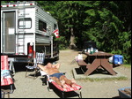
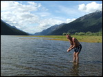
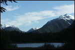
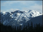
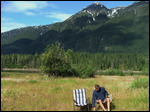
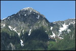
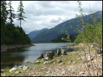
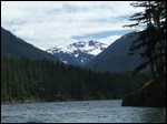
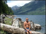
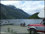
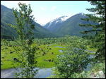
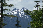
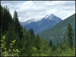
And lucky us, we got a wonderful lake view spot: one thing we discovered is all that snow up on the mountains… so this is a perfect spot to check out the views up and down the lake… relax … or go for a wash: as where Paul only uses a little bit a water – Gine jumps right into the lake
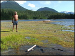
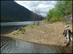
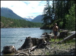
 Walking along the Bay
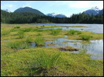
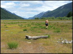
It is time to explore the shoreline along the campground… I wonder how long it takes to walk over to the other side… it does not look that long. But once you start walking…. You keep going, even I was not closer to where I really wanted to go… so even I never reached my goal, and I discovered around every bend something new. Next time more.
 Clouds around the mountain tops
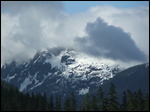
Something always amazing is when you can see the clouds in the morning first hiding the mountains – then you see them poking out of the clouds and slowly the clouds drift along and go away
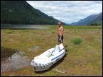
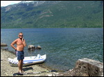
 Let’s go kayaking
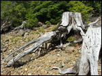
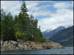
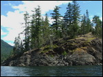
There is lot to explore, since the walk around the bay didn’t work we kayaked along the bay… and around the corner to have an even better view down the lake: which is amazing… and then we crossed over to the other side: because the grass is always greener on the other side, so maybe there is also better spots on the other side: and there is a lot to explore: tree stumps, trees shorelines… so we stayed until the shade came, because this side of the lake is early morning sun and afternoon shade.
 The Kaarst Creek Waterfalls
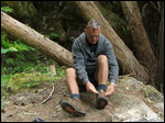
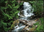
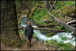
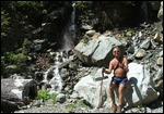
Still lots to explore and so today we wanted to check out the Kaarst Creek Waterfalls: so stopping at the Rest stop and then we went for the round walk… ok there was only one problem: the bridge is not here anymore, so there are 2 options: 1) turn around: we can’t do that and 2) take the shoes off and walk through the creek – which didn’t sound too bad, I mean it is warm and July: so we decided to go through and guess what: the water was freezing cold.
When we arrived after only a few feet later on the other side I was not sure I could still feel my toes….
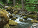
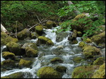
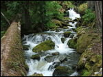
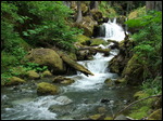
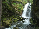
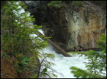
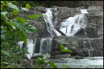
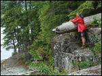
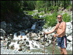
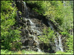
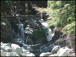
And then up along the creek going over those super cool moos colored stones and there we are in front of the falls – a real cool looking cute little waterfall: one of those hidden gems.
 The Lower Myra Falls
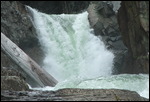
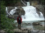
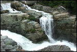
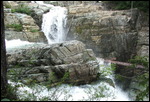
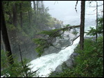
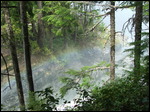
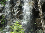
You can’t come here and not visiting this falls – because they are the best falls on the island. And after a winter with the most snow in years… even in July most of the areas is flooded in cold water. Where we walked last year the water was gushing down this year. Sure we have to walk in – but even Gine is so fast out: guess it is snow melt water. We even could see the rainbow in the mist.
 A Break at the Bridge at the End of the lake
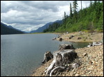
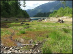
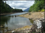
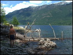
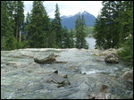
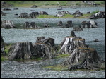
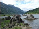
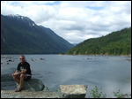
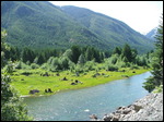
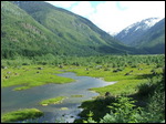
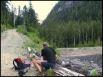
We always like this spot: it is so cool to look down the lake – see the old tree stumps in the water and only enjoy the view. And it is always nice and warm here. So it is a perfect spot for us having a coffee break. And then during Paul relaxing and keeping watch - Gine went off to explore the old tree stumps, you only have to be careful not to get sucked into the water and losing the shoes. And always from this side of the lake we have the best view on the Myra falls….
One day we will have to paddle over with our kayak!!
 A Walk to the Jim Mitchell Lake
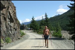
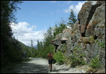
So where is the road going from the bridge along the valley: so we start walking along the river on this road and as per GPS straight line it is actually not that far to that Jim Mitchell Lake…. So after going up on a real bad gravel road we arrived at the parking lot for the hikes – I would only come with an old 4x4 up here, otherwise you may get stuck.
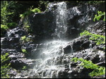
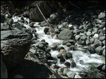
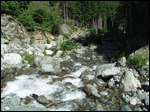
We had some time to have a break near a little waterfall (only because there is still snow this year)
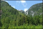
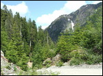
So then we went up the road towards this lake – and it looks like we were not too far away… maybe it would be good to get an actual map, so we can see the switch backs and the elevation we did: because we went up constantly and all in switch backs… so 300 m can be quite a bit: but then we are there on this remote lake used only by Hydro.
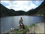
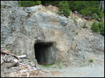
We actually met some guys who checked out the Hydro for the mine below, could ask some questions and I think they didn’t really have it, why we walked up here. But we had a quick peak into the caves they made. And let’s not forget a break!!
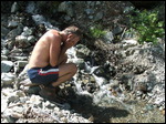
Good thing there are those little creeks and waterfalls so we can cool ourselves off on the way back. And we were super happy when we were down along the valley and saw our truck!
So what is our conclusion: we walked a lot and long – we had a lot of sun - we saw some mountains we never did before – Paul is not convinced about Gine’s short levelled walks – We need a map for our GPS – it was still a lot of fun – we were quite tired after coming back: time for a coffee

 Strathcona Park, British Columbia, Canada




































2025-05-22