Today is a special personal milestone day ... More later!
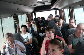
Shortly after leaving San Ignacio a border crossing from Belize into Guatemala and then onto Tikai.
Having seen photos of Tikai, I now have the opportunity to see it for myself.
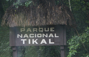
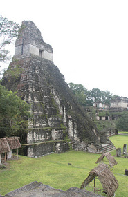
Tikal is one of the largest archaeological sites and urban centres of the pre-Columbian Maya civilization. It is located in the archaeological region of the Petén Basin in what is now northern Guatemala. The site is part of Guatemala's Tikal National Park and in 1979 it was declared a UNESCO World Heritage Site.
Tikal was the capital of a conquest state that became one of the most powerful kingdoms of the ancient Maya. Though monumental architecture at the site dates back as far as the 4th century BC, Tikal reached its apogee during the Classic Period, ca. 200 to 900 AD. During this time, the city dominated much of the Maya region politically, economically, and militarily, while interacting with areas throughout Mesoamerica such as the great metropolis of Teotihuacan in the distant Valley of Mexico. There is evidence that Tikal was conquered by Teotihuacan in the 4th century AD. Following the end of the Late Classic Period, no new major monuments were built at Tikal and there is evidence that elite palaces were burned. These events were coupled with a gradual population decline, culminating with the site's abandonment by the end of the 10th century.
Tikal is the best understood of any of the large lowland Maya cities, with a long dynastic ruler list, the discovery of the tombs of many of the rulers on this list and the investigation of their monuments, temples and palaces. Thanks Mr Wikipedia.
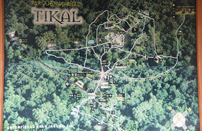
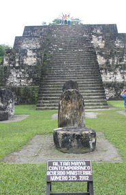
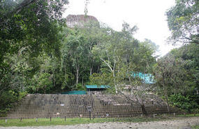
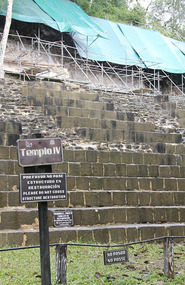
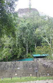
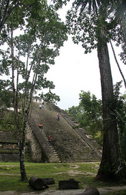
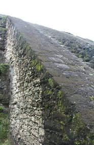
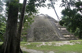
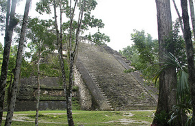
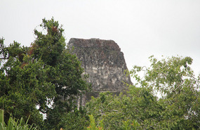
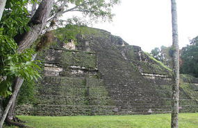
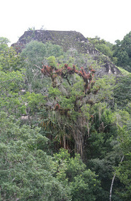
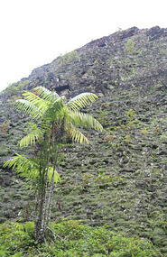
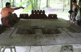
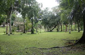
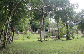
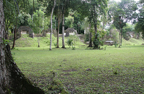
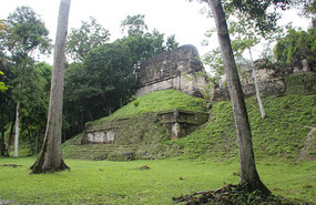
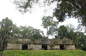
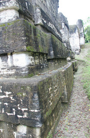
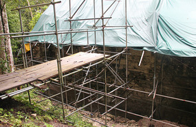
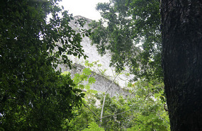
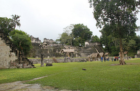
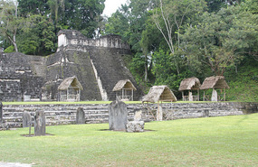
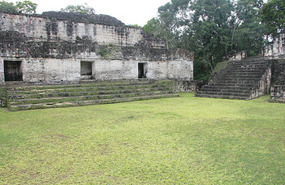
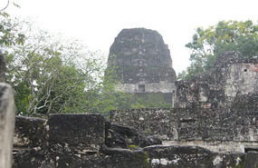
The area around Tikal has been declared as the Tikal National Park covering some 570 square kilometres. The ancient city has been completely mapped and at its height covered an area greater than 16 square kilometres, with more than 3,000 structures. Today the main centre covers an area of approximately two and a half square kilometres. Several tall mounds which are temples have not yet been excavated. In fact only a small percentage of the site has been uncovered.
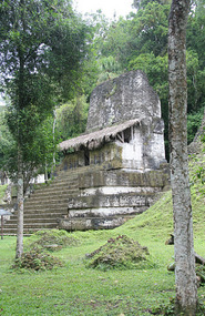
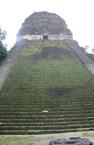
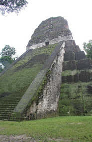
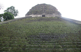
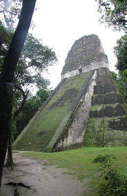
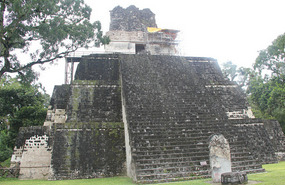
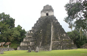
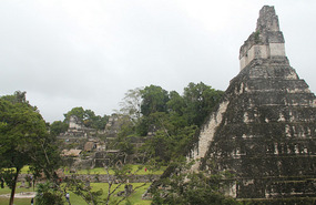
The emphasis was on height when creating these imposing structures because the Maya believed the higher the building, the closer they were to the gods.
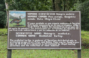
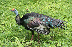
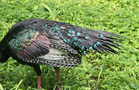
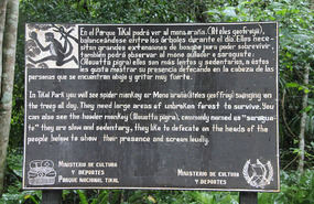
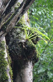
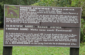
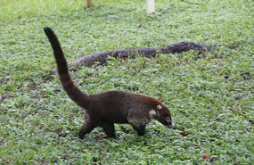
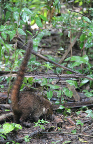
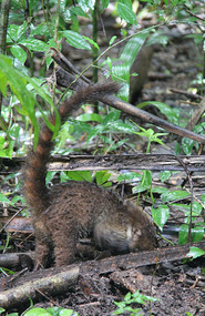
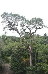
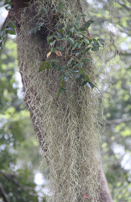
Around Tikal there is a lot of animal life and we were lucky to spot several of the noisy howler monkeys swinging high up in the upper canopy, pizotes / coati (a racoon-like animal) and even at a distant the exotic toucan bird.
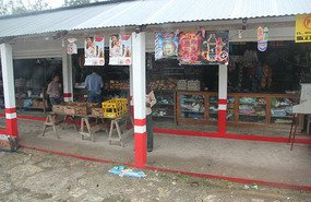
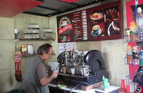
Arrived at Tikai and first stop after the toilet before the tour started was to get a decent cup of espresso coffee (latte)!
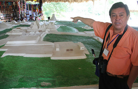
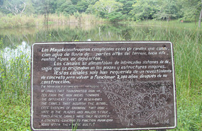
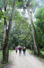
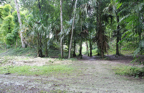
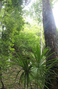
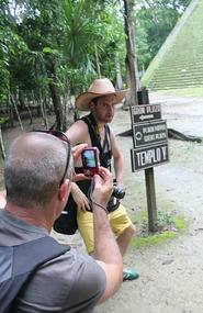
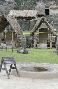
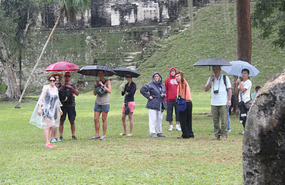
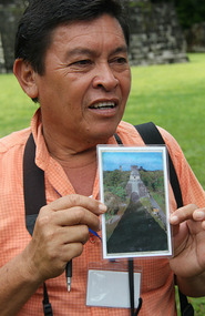
Miguel the local guide was great and his 4 hour tour was both informative and really worthwhile. I suppose it was also the dense jungle like setting to me that was the unknown. We walked along where the old roads and bridges that were once paved with stucco. What engineering feats! Water was collected so how did they get their levels right?
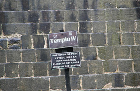
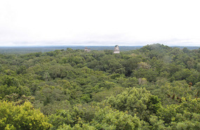
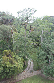
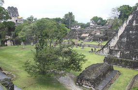
The view from the top of Temple IV meant that we could look over the park from above.
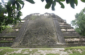
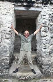
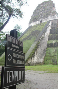
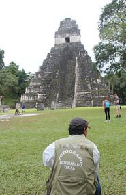
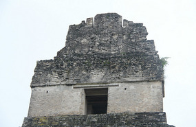
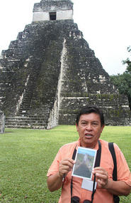
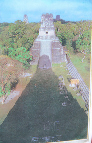
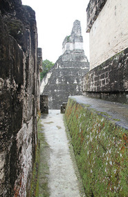
Yes, Temple I was the highlight and I am glad that the main plaza was not covered with tourists (like me!) and I got my post card photos with no people in it. Trouble it doesn’t give you the scale / height unless a person is in it.
The rain came and went throughout the morning plus it was humid (for me).
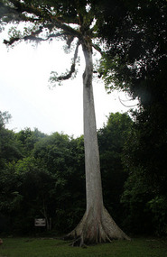
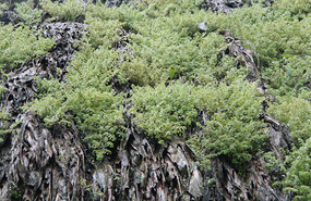
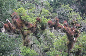
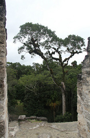
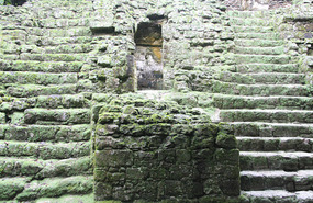
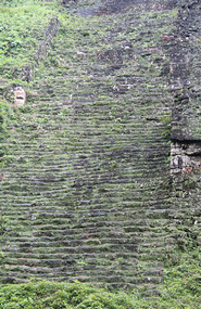
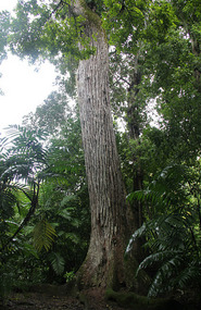
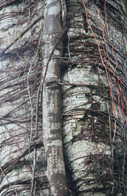
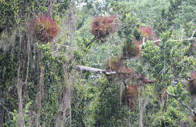
This whole area reminded me a lot of last year’s trip to Cambodia and the temples around Ankor. How the vegetation had so quickly overtaken the ruins with decades if not centuries of work ahead to uncover and understand the ancient Mayan civilisation a bit better.
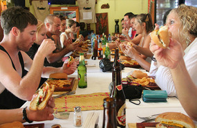
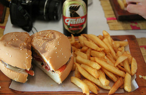
Jaguar Inn Restaurant within the park itself was the venue for lunch and most including me chose their hamburger and fries.
Tikai
Thursday, December 12, 2013
 Tikal, Petén, Guatemala
Other Entries
-
64HIGHLIGHTS Wed 4 Dec: Cenotes, Merida
Dec 057 days prior Merida, Mexicophoto_camera30videocam 0comment 0
 -
65Chichen Itza
Dec 057 days prior Chichen Itza, Mexicophoto_camera149videocam 0comment 1
 -
66HIGHLIGHTS Thurs 5 Dec: Chichen Itza
Dec 057 days prior Chichén Itzá, Mexicophoto_camera56videocam 0comment 0
 -
67Cancun & Speedy Gonzales along Boulevard Kukulkan
Dec 066 days prior Cancun, Mexicophoto_camera65videocam 0comment 0
 -
68Isla Mujeres
Dec 066 days prior Isla Mujeres, Mexicophoto_camera88videocam 0comment 0
 -
69HIGHLIGHTS Fri 6 Dec: Cancun & Isla Mujeres
Dec 066 days prior Cancun, Mexicophoto_camera50videocam 0comment 0
 -
70Maya / Toltec ruins of Tulúm
Dec 075 days prior Playa del Carmen, Mexicophoto_camera85videocam 0comment 0
 -
71HIGHLIGHTS Sat 7 Dec: Tulum & Playa del Carmen
Dec 075 days prior Playa del Carmen, Mexicophoto_camera12videocam 0comment 0
 -
72GO SLOW Caye Caulker
Dec 084 days prior Caye Caulker, Belizephoto_camera61videocam 0comment 0
 -
73HIGHLIGHTS Sun 8 Dec: Mexico > Belize
Dec 084 days prior Caye Caulker, Belizephoto_camera29videocam 0comment 0
 -
74Sharks, Sting rays & Turtles
Dec 093 days prior Caye Caulker, Belizephoto_camera83videocam 0comment 0
 -
75HIGHLIGHTS Mon 9 Dec: Caye Caulker snorkelling
Dec 093 days prior Caye Caulker, Belizephoto_camera33videocam 0comment 0
 -
76"GO SLOW” Caye Caukler to San Ignacio
Dec 102 days prior San Ignacio, Belizephoto_camera67videocam 0comment 2
 -
77HIGHLIGHTS Tues 10 Dec: Caye Caulker > San Ignacio
Dec 102 days prior San Ignacio, Belizephoto_camera29videocam 0comment 0
 -
78Green Iguana Conservation Project - San Ignacio
Dec 111 day prior San Ignacio, Belizephoto_camera93videocam 0comment 0
 -
79ATM: Actun Tunichil Muknal, Crystal Sepulchre Cave
Dec 111 day prior San Ignacio, Belizephoto_camera151videocam 1comment 0
 -
80HIGHLIGHTS Wed 11 Dec: San Ignacio - Iguana, ATM
Dec 111 day prior San Ignacio, Belizephoto_camera54videocam 0comment 0
 -
81Tikai
Dec 12 Tikal, Guatemalaphoto_camera118videocam 0comment 0
 -
82Flores = one's birthday
Dec 12later that day Flores, Guatemalaphoto_camera78videocam 0comment 1
 -
83HIGHLIGHTS Thurs 12 Dec: Tikai > Flores
Dec 12later that day Flores, Guatemalaphoto_camera96videocam 0comment 0
 -
84Flores to Rio Dulce = overwater cabins like Tahiti
Dec 131 day later Rio Dulce, Guatemalaphoto_camera94videocam 0comment 1
 -
85Livingstone @ 90 km per hour in that driving rain
Dec 131 day later Lívingston, Guatemalaphoto_camera144videocam 0comment 0
 -
86Macaw @ The Catamaram Island Hotel
Dec 131 day later Rio Dulce, United Statesphoto_camera58videocam 0comment 1
 -
87HIGHLIGHTS Fri 13 Dec: > Flores > Rio Dulce
Dec 131 day later Rio Dulce, United Statesphoto_camera112videocam 0comment 0
 -
88Rio Dulce to Antigua via slow thru Guatemala City
Dec 142 days later Antigua Guatemala, Guatemalaphoto_camera173videocam 0comment 0
 -
89Antigua: hairdresser = super quick orienation tour
Dec 142 days later Antigua Guatemala, Guatemalaphoto_camera74videocam 0comment 0
 -
90HIGHLIGHTS Sat 14 Dec: Antigua
Dec 142 days later Antigua Guatemala, Guatemalaphoto_camera89videocam 0comment 0
 -
91Antigua - a photographer’s nightmare!
Dec 153 days later Antigua Guatemala, Guatemalaphoto_camera199videocam 0comment 0
 -
92Hotel Casa Santo Domingo = 5 star hotel + museum
Dec 153 days later Antigua Guatemala, Guatemalaphoto_camera118videocam 0comment 0
 -
93HIGHLIGHTS Sun 15 Dec: Antigua
Dec 164 days later Antigua Guatemala, Guatemalaphoto_camera206videocam 0comment 0
 -
94Cerro de la Cruz = Rio keep your day job
Dec 164 days later Antigua Guatemala, Guatemalaphoto_camera22videocam 0comment 1
 -
95Antigua’s ‘chicken’ bus terminal
Dec 164 days later Antigua Guatemala, Guatemalaphoto_camera61videocam 0comment 1
 -
96Crossing the border, feet up & not leaving the van
Dec 164 days later Copán, Hondurasphoto_camera56videocam 0comment 0
 -
97HIGHLIGHTS Mon 16 Dec: Antigua > Copan
Dec 175 days later Copan, Hondurasphoto_camera65videocam 0comment 0
 -
98Copan ruins
Dec 175 days later Copán, Hondurasphoto_camera210videocam 0comment 1
 -
99Macaw Mountain
Dec 175 days later Copan, Hondurasphoto_camera192videocam 0comment 1

 Tikal, Petén, Guatemala


2025-05-22