 Folldalen, Hedmark, Norway
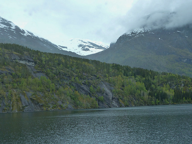
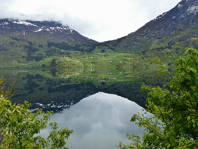
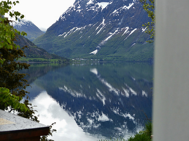
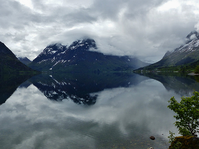
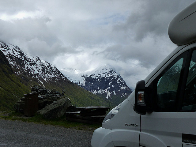
A fairly ok-ish morning, with low cloud hiding the mountains. We had ,planned to drive up to Briksdalbreen to see the glacier we could see from our pitch, but the low cloud meant we would not have seen very much, so we decided to move on towards what we had planned to be one of the highlights of our trip - the journey down to the Gerainger Fjord and then on to the 11 hairpins of the Trollstiggen (Troll's Ladder)
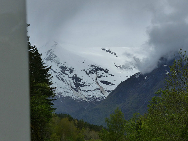
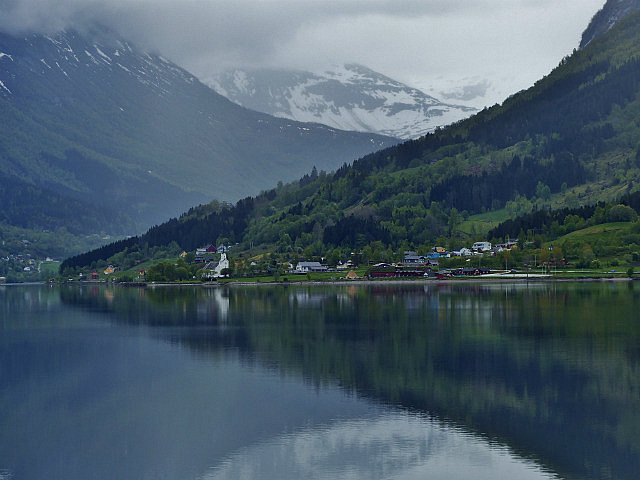
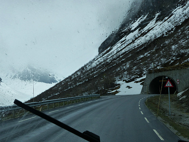
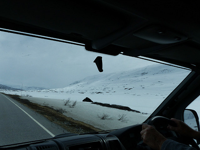
We drove back through Loen to Stryn, where we managed to find a garage open on Whit Monday,then on the 15 as we climbed up through long dark tunnels and many steep hairpins up to Langvatn.
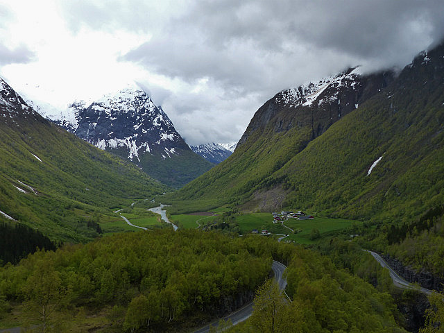
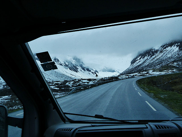
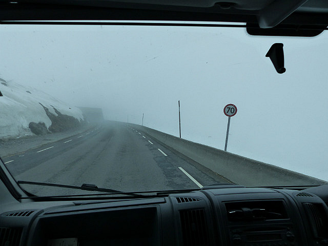
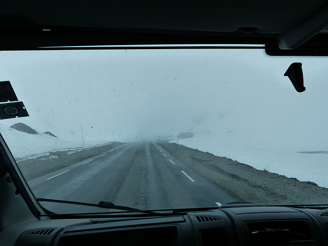
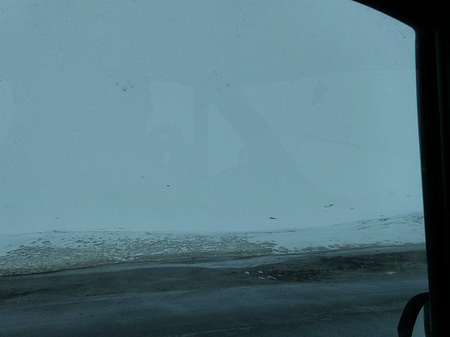
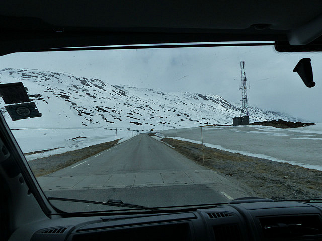
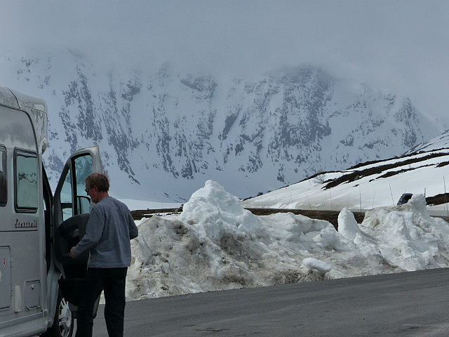
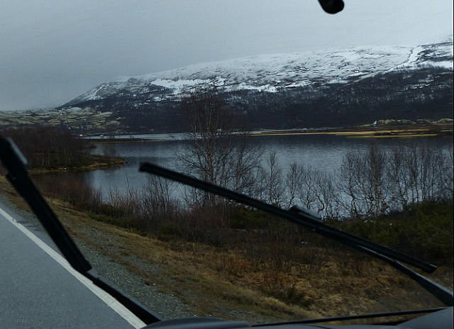
As we came out of one tunnel there was a lot of snow, and when we came out of the last tunnel it was a whiteout. It was quite scary, because other than the road there were no other features - just whiteness.
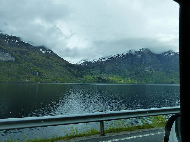
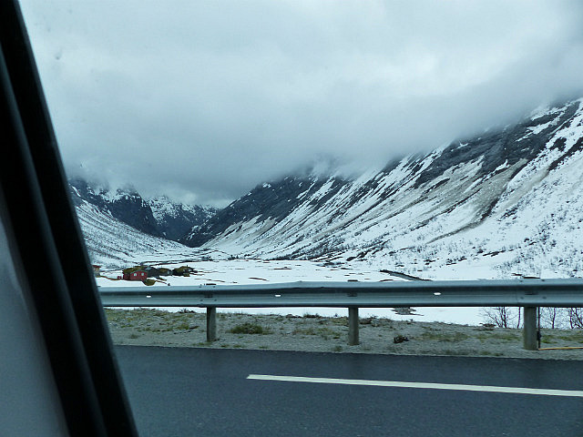
As we got to the top and the signpost down to Gerainger we could see a line of cars. The road in front of them was blue with ice and snow. Apparently they would only be allowed down the hairpins to the valley in convoys behind a snow plough.
At the last campsite we had talked to a Dutch couple who had come down the Stollstriggen in a convoy and the snow was way above their MH roof!! There had been more snow since then. Apparently 2015 is an exceptional year , cold and wet with very late snows!
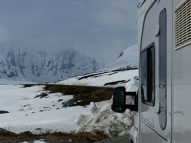
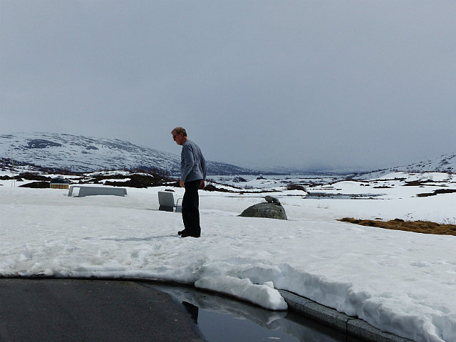
We found a lay by which had been partly cleared and stopped for a 'planning meeting'.
We did not know how long we would have to wait before we could drive down to Gerainger, or if we would be stuck there. Rob was not too keen on the drive anyway - we have all year tyres, but no snow chains. This was devastating as the road on from the Trollstiggen was also the road on to Aldansnes and then to Alesund. These were places we had wanted to visit, and to get to them any other way would mean hundreds of kms there and back again.
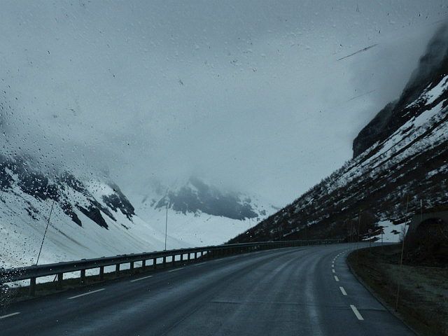
Eventually we decided to cut our losses and drive straight on, on the 15, which was clear, to Lom and on to Otta and the E6, which is the main road to Trondheim. Trondheim would have been our next aim after Alesund anyway.
We were really disappointed to miss out such a chunk, but hey ho! - we can't visit every where in Norway.
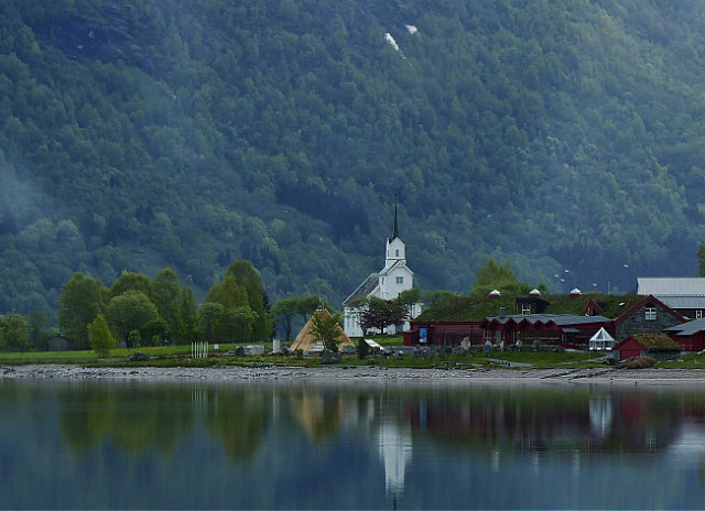
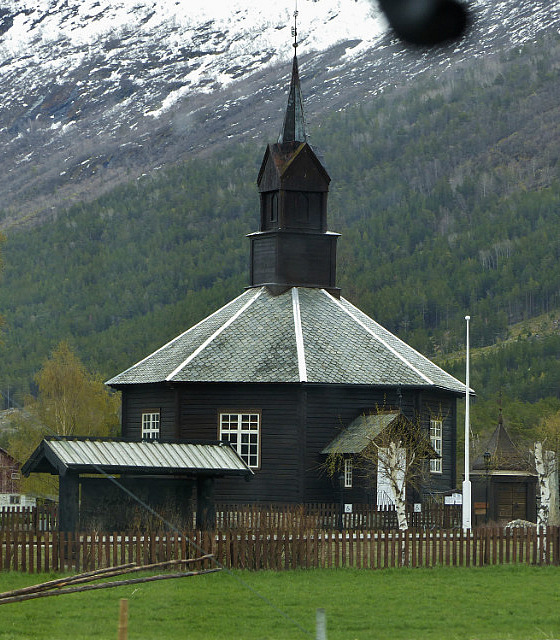
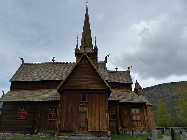
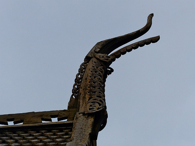
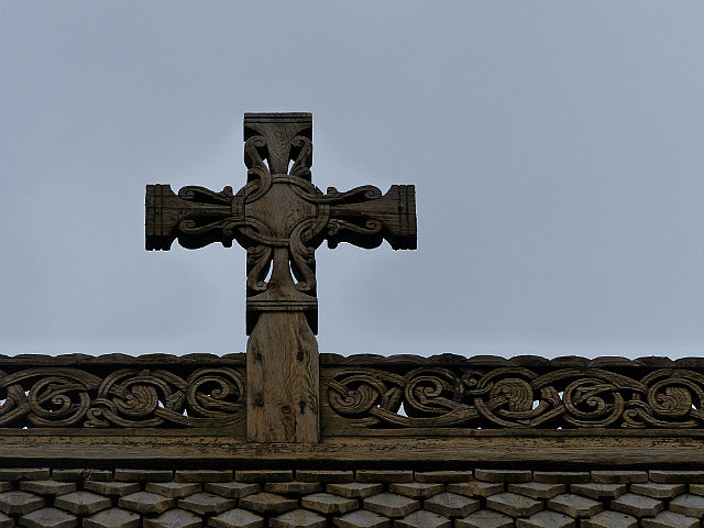
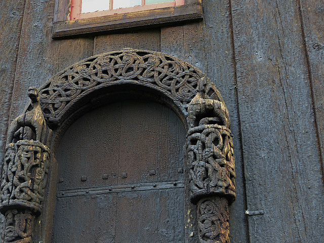
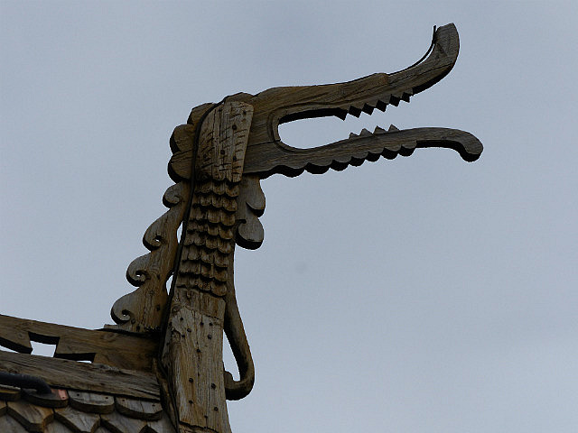
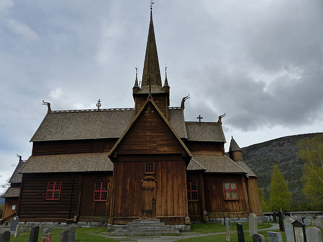
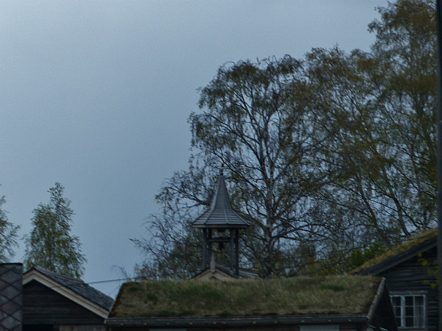
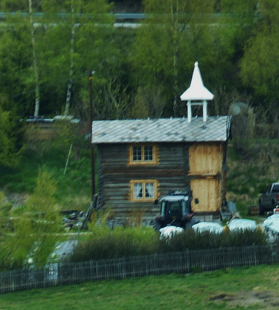
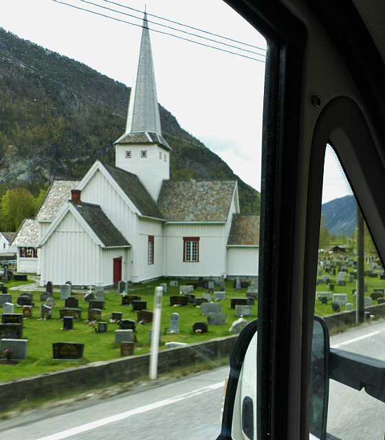
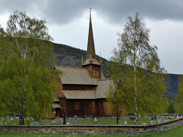
We reached Otta, which was a nice little town of mostly wooden houses and a pretty old stave church.
Whilst we were there we decided to deviate a bit more and visit Roros - the red town.
Roros is very near the Swedish border. It was a copper mining town and is a World Heritage Site, as is the whole mining area around it.
This has enormous similarities with my home town of Tavistock in Devon. In the 19thC Tavistock was the site of the biggest copper mine in the world - Devon Great Consols. The Tamar Valley mining area, including Tavistock is now a World Heritage Site.
I did my 'A' level Geography project on The effect of the copper mines on Tavistock. The mines were on land owned by the Dukes of Bedford and they used taxes from the copper to remodel the town, building the Town Hall, Guildhall, schools and new street plan as well as hundreds of cottages for the miners and villas for the mine Captains and owners.
So we turned off the E6 onto the 29 at Hjerkinn and headed towards Roros. By this time it had been raining heavily for ages and it was getting late.
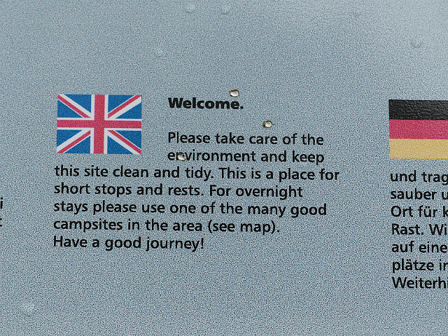
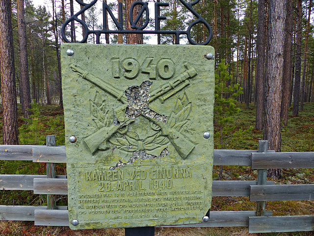
We started looking for somewhere to stop, but most places off the main road were too wet and soft. Just when we were getting fed up, we stopped in a layby with a wartime memorial and info boards on local hiking routes. (MH's are NOT allowed to overnight in official laybys and most have notices to this effect) Just off this layby was a small tarmac road which led to a small parking area for walkers, just beside the river, Bingo! - we had found our overnight stopping place!
Whiteout! Wipeout!
Monday, May 25, 2015
 Folldalen, Hedmark, Norway


Other Entries
-
May 232 days prior Sogndal, Norway
 -
May 241 day prior
Olden, Norway -
May 25
Folldalen, Norway -
May 261 day later
Storen, Norway -
May 272 days later
Trondheim, Norway -
May 283 days later
Storen, Norway -
May 294 days later
Bjørnstad, Norway -
May 305 days later
Rognan, Norway -
May 316 days later
Skarberget, Norway -
Jun 017 days later
Vestpollen, Norway -
Jun 028 days later
Lofoten Islands, Norway -
Jun 039 days later
Fossbakken, Norway -
Jun 0410 days later
Skibotn, Norway -
Jun 0511 days later
Skibotn, Norway -
Jun 0612 days later
Alta, Norway -
Jun 0713 days later
Nordkapp, Norway -
Jun 0814 days later
Alta, Norway -
Jun 0915 days later Pajala, Sweden
 -
Jun 1016 days later
Umeå, Sweden -
Jun 1117 days later
Ljusdals, Sweden -
Jun 1218 days later
Ljusdals, Sweden


2025-05-22